Region

The San Rafael Swell

Utah

Offroad Trails in The San Rafael Swell

A Region within Utah
4.3/5 (596)

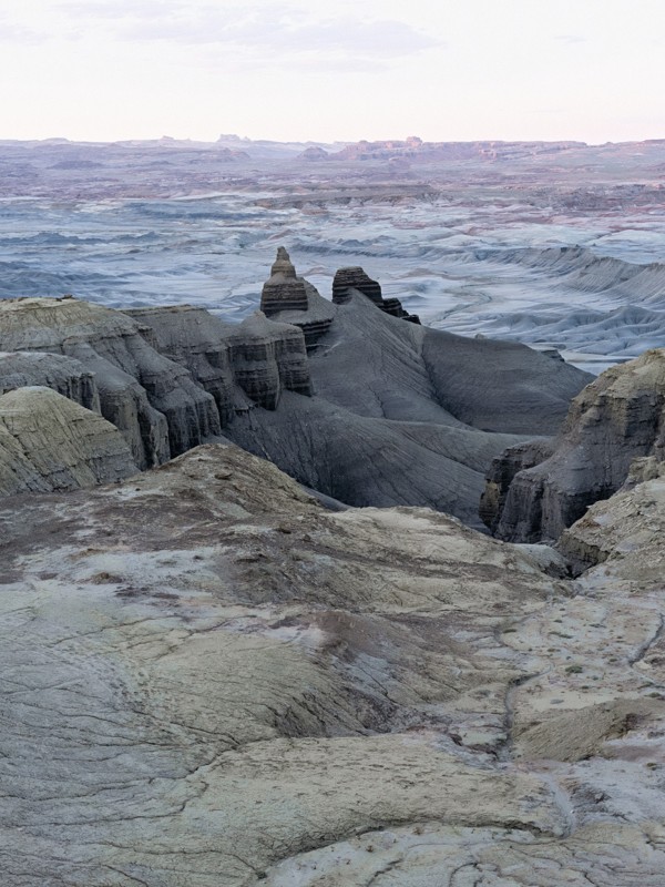
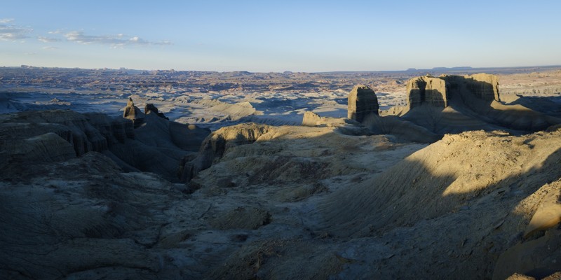
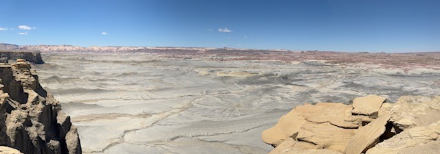
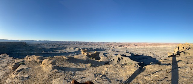
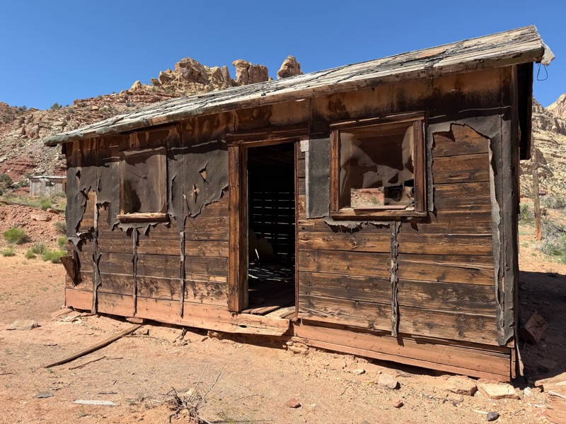
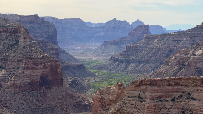
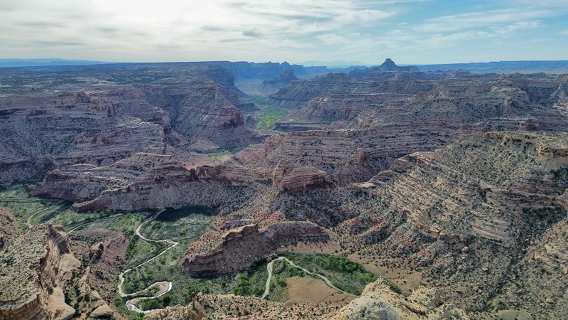
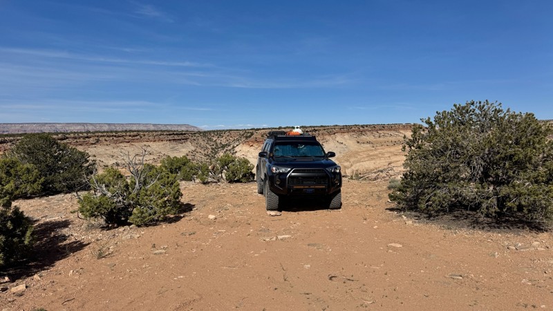
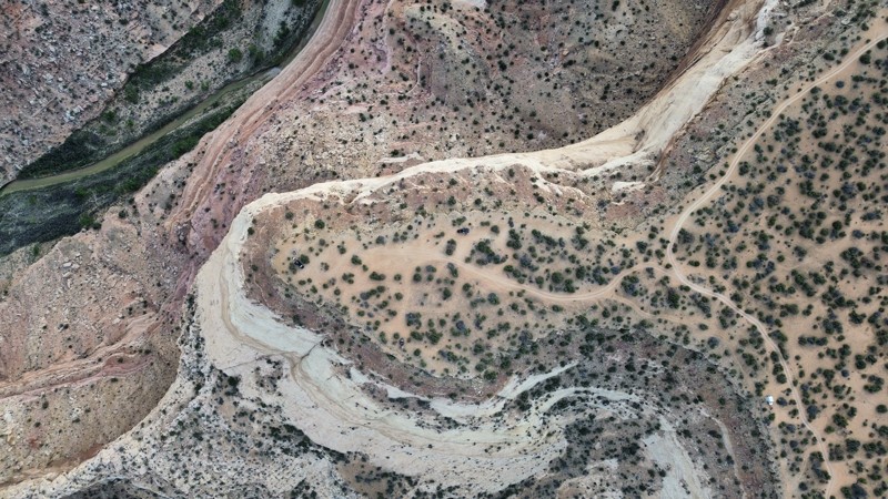
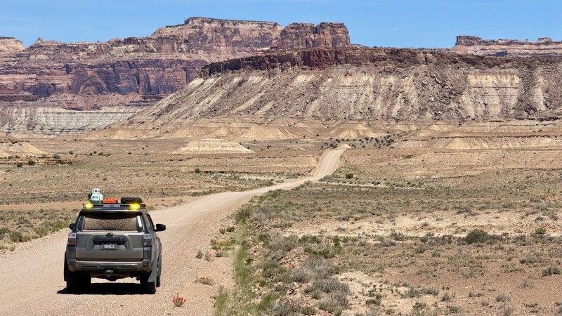
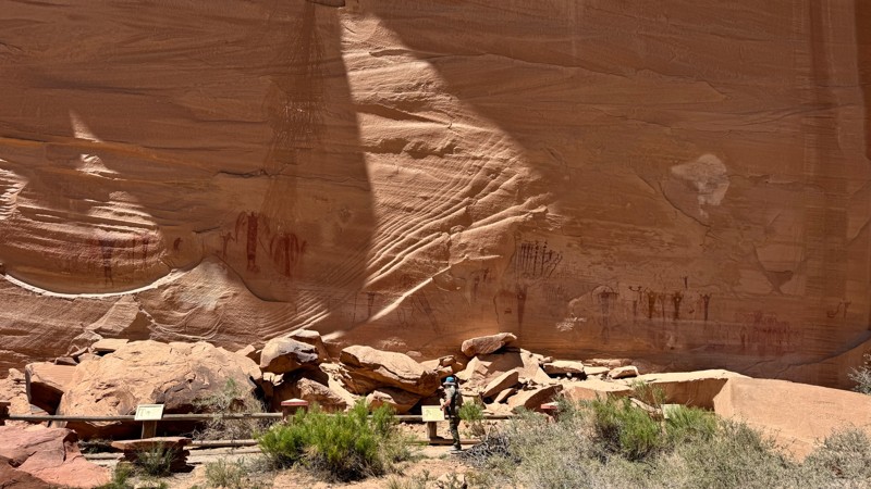
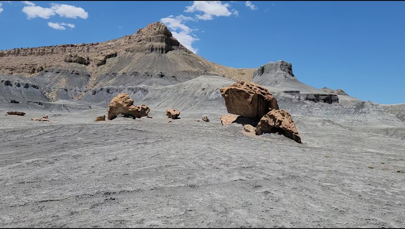
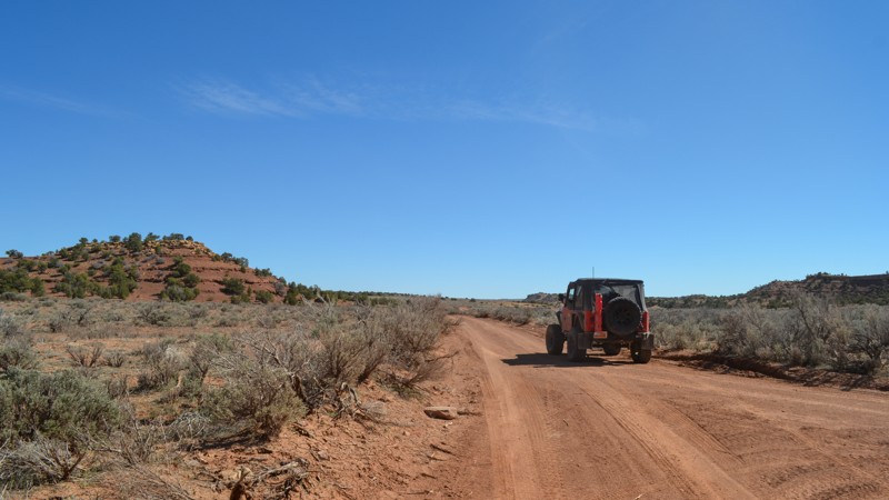
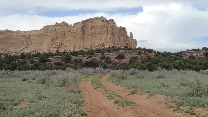
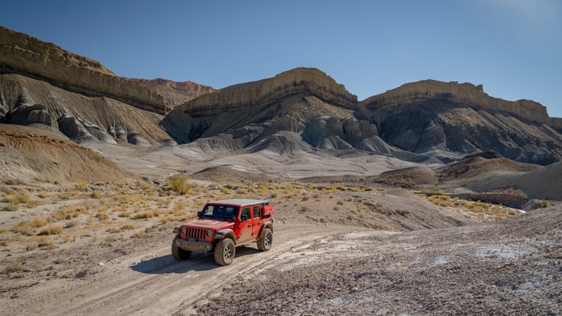
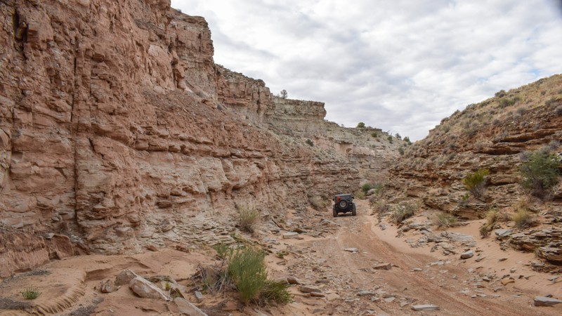
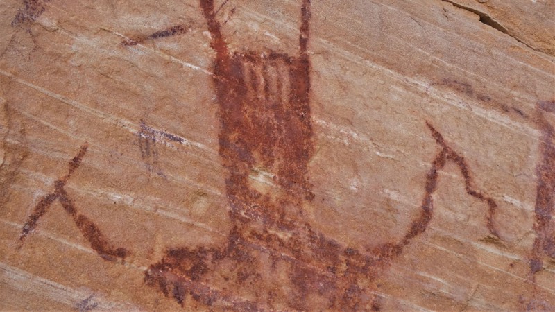
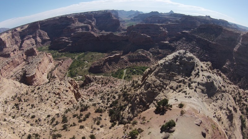
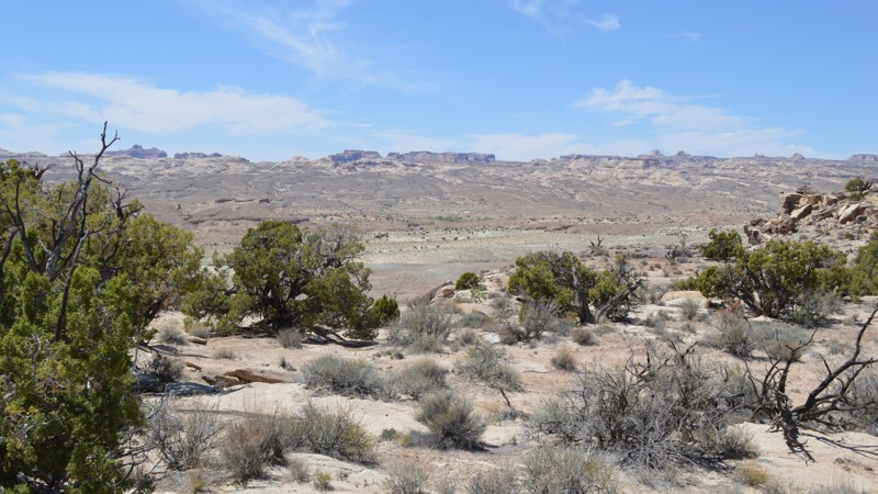
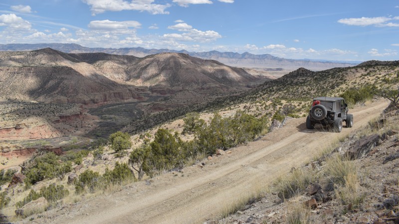
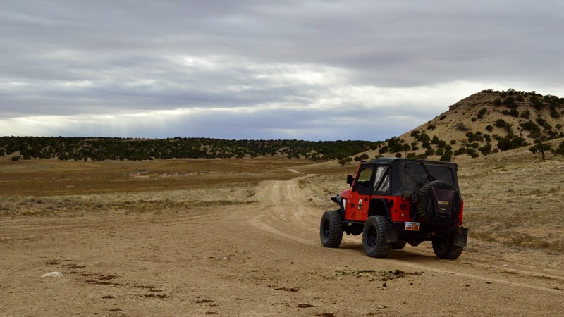
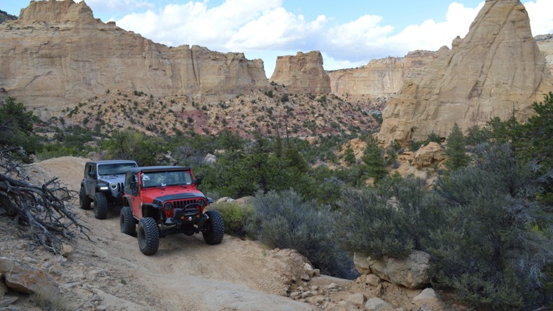
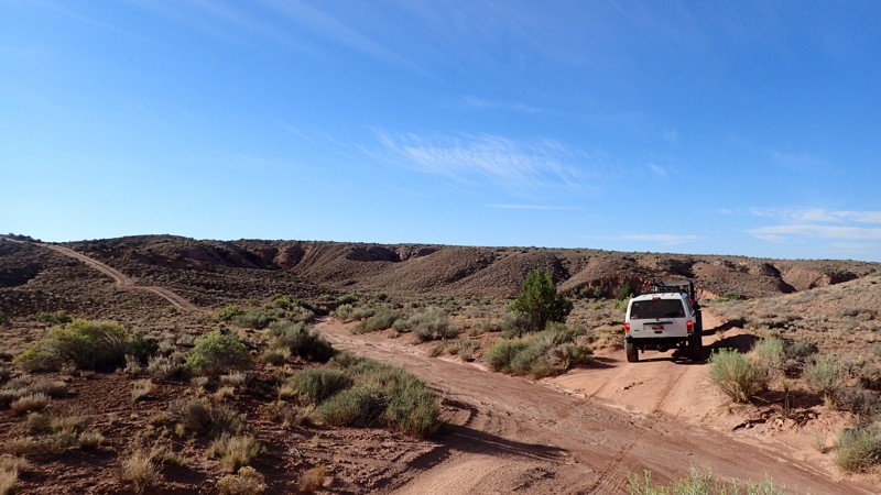
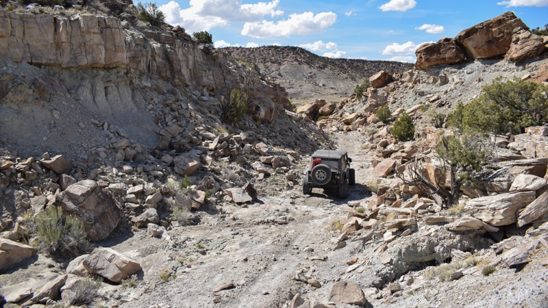
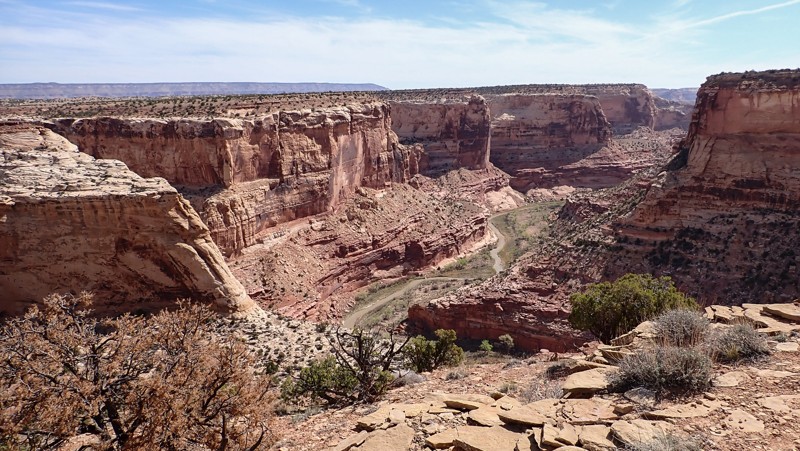
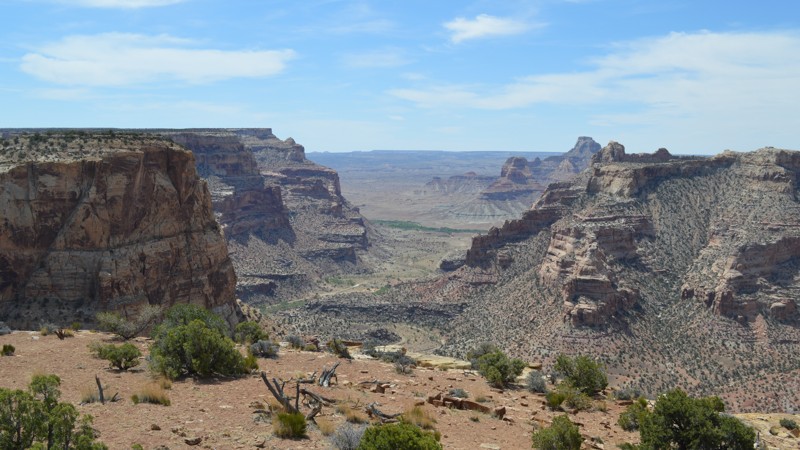
"The Swell," located in south-central Utah, is a geological upheaval that created a colorful desert landscape with towering buttes and narrow slot canyons.  Encompassing 900 square miles, San Rafael Swell is an outdoor paradise with abundant trails for all types of offroad enthusiasts.  There are numerous historical sites where you can get up close to America's best ancient Native American artwork or step into an old log cabin.  Buckhorn Draw and Black Dragon Wash trails travel into narrow slot canyons with designated sites for viewing the artwork. 

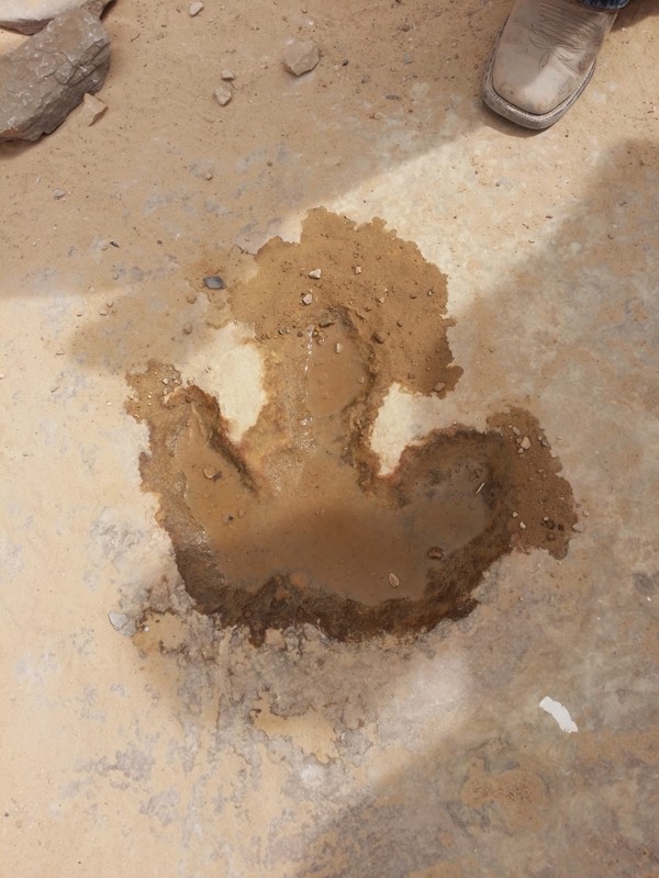
The trail system is vast and divided into two regions by Interstate 70.  The southern area trails are easier and less popular with the average weekend user.  Day trips can include stops at Goblin Valley State Park or squeezing your way through Crack Canyon and Chute Canyon hiking trails along the Behind The Reef trail.  The northern section includes the more difficult and famous 4x4 trails like Eagle Canyon, Devil's Racetrack, and Fix-it Pass; all three have breathtaking views and adrenaline-pumping rock-crawling obstacles.  The far northern region near Wellington, UT, includes an educational stop at Jurassic National Monument, a real-time dinosaur dig open to visitors. 

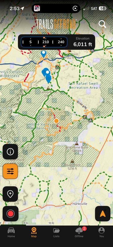
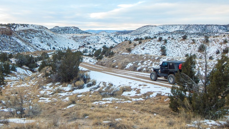
The winter months can be below freezing during the day, and summer temperatures can be over 100° in the shade.  The vast majority of the region is managed by the Bureau of Land Management, which allows camping up to 15 days.  Several areas are protected and designated as no camping; most of these sites are around ancient artwork sites.  Buckhorn Draw now has paid campsites along this very well-groomed scenic drive.  While other, more remote trails have that private campsite with a canyon view you've been searching for.  The Swell is remote, requiring planning, even for a day trip; venturing into this vast desert also requires a map system you can count on.  Preload the San Rafael regional trails offline before you begin your adventure.

Top Reasons to Explore Here

Basemaps
Go All-Access to Unlock


TRAILS OFFROAD™ TRAIL TYPES
Trail Guide
Full detailed write up with Advanced Rating System, Waypoints, Video, and more.
Scout Route
Lite version with highlights, camping, and hardest part documented. Vetted in person.
TRAIL DIFFICULTY RATINGS
easy (1-2)
Suitable for high clearance 2WD
moderate (3-4)
Best suited for a high clearance 4x4
difficult (5-6)
Best suited for a lightly modified 4x4
severe (7-8)
Best suited for a highly modified 4x4
extreme (9-10)
Best suited for specialized buggy type vehicles
LAYERS

Most Recent Trail Reviews

Most Popular

Search for Trails
Utah: Willow Springs Road Hero Photo
Scout Route Icon
5/5 (3 reviews)
Updated: 04/10/2026

Willow Springs Road

Whipup, Utah
A link between I-70 and Lower last Chance Road, Willow Springs is an easy and scenic drive and is a perfect back route to Capitol Reef. No established campsites were noted along this road.
Utah: Rod's Valley Road Hero Photo
All-Access Icon
3/5 (2 reviews)
Updated: 05/17/2024

Rod's Valley Road

Emery, Utah

Rods Valley Road is a nice mild trail winding its way through the south end of the San Rafael Swell in Central Utah. This trail provides easy access to a number of trails in the area as well as a good route to take you from the south end, up to I70 and the north end of the Swell.

Utah: Reid Nielson Draw Hero Photo
All-Access Icon
3.5/5 (2 reviews)
Updated: 06/14/2024

Reid Nielson Draw

Green River, Utah
This is a quick and easy shortcut to get you to the other side of I70 after you exit on 131 off of I70. There are width and height issues at the underpasses, so be cautious as you approach. In just a short while, you will be at Nielsen Dugway leading to Fix It Pass or Cane Wash, or you can jog over to the west and hit Devil's Racetrack.
Utah: Caineville Reef Road Hero Photo
Scout Route Icon
4.2/5 (6 reviews)
Updated: 06/15/2026

Caineville Reef Road

Caineville, Utah

Caineville Reef Road provides you with a cut-over from Cathedral Valley Loop to Factory Butte Road (north of the Factory Butte geologic feature). The trail directly follows the North Caineville Reef and Mesa, snaking through an area that may surprise you with the stark difference of surface features on either side of you. In some sections of the trail, a gray, moon-scape-like terrain will be on your right, while pink and red-hued rock is a head-turn to your left.

Although no camping is found along this trail, it does lead to Factory Butte Road, which gives you access to the Factory Butte OHV Area and Skyline Rim, where open dispersed camping is available.

Much of Caineville Reef Road travels in a wash, meaning conditions can change quickly, turning this trail from easily traversable to a nightmare mud pit. This trail should be considered Impassable When Wet. The general area is well-known for the extremely sticky mud that forms when rain and snow soak the ground.

Utah: Four Corners Mine Road Hero Photo
Scout Route Icon
4/5 (3 reviews)
Updated: 09/23/2026

Four Corners Mine Road

Green River, Utah
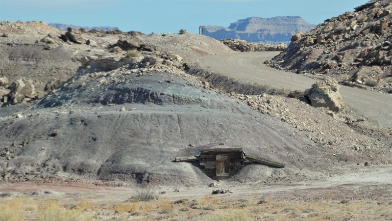
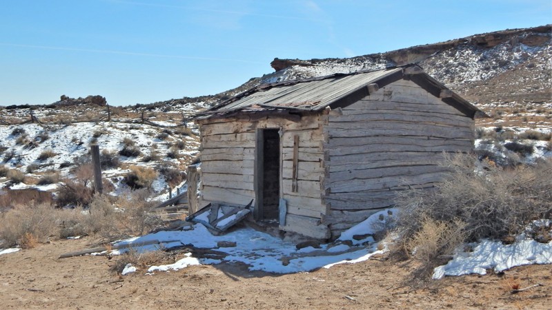
Take a leisurely scenic drive through a rainbow of colored rocks. Four Corners Mine Road travels across an incredibly flat plain before dropping into a dramatic desert landscape. The region is known for its unique mineral deposits that create vibrant bands of color in the surrounding cliffs. The route has several easily accessible and free campsites along the road. A few spots right off the road still have old mine remains. Keep your eye out for the old storage hut.
Utah: BLM 846 Hero Photo
Scout Route Icon
5/5 (4 reviews)
Updated: 01/02/2025

BLM 846

Hanksville, Utah
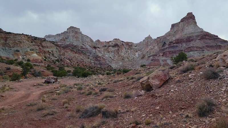
BLM 846 is an unmaintained dirt road that connects Temple Mountain Road to North Temple Wash. The north end starts out fairly smooth as you look toward Temple Mountain. The further south that you get, the rougher it becomes. You will pass by an old car or 2 as well as old mine ruins from days gone by. There are dispersed camping sites near both ends of the trail
Utah: Coal Wash Hero Photo
Scout Route Icon
5/5 (1 reviews)
Updated: 05/18/2026

Coal Wash

Moore, Utah

Wood Canyon is a difficult and long crossing along the west rim of the San Rafael Swell upheaval. You will cross prairies and zig-zag through trees, all with incredible views of the surrounding mountains. The views are best enjoyed traveling south to north. Along the trail, there are various challenges for stock and slightly modified 4x4 vehicles. The trail has two difficult hills that lead to a narrow rocky canyon. You will need experience on remote and difficult trails and have a reliable and durable vehicle with low-range gearing and durable offroad tires. Camping is found in the trees on the southern portion of the route. The sites are small, with one vehicle max.

Utah: Little Grand Canyon Hero Photo
Scout Route Icon
4.8/5 (5 reviews)
Updated: 05/20/2026

Little Grand Canyon

Castle Dale, Utah

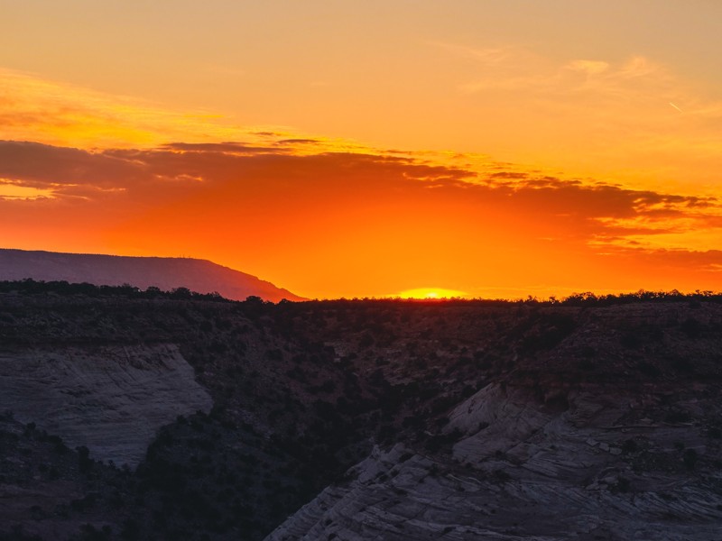
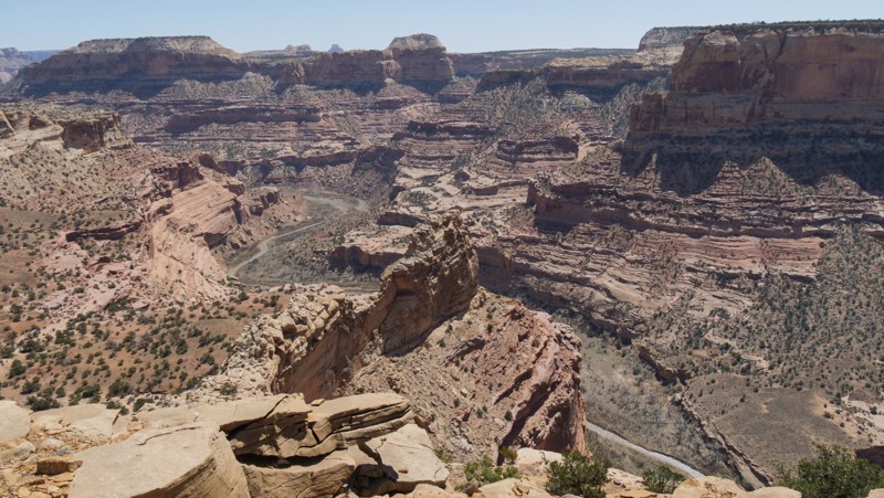
It doesn't get much better than sitting on the edge, drinking your morning coffee while the sun rises over the Little Grand Canyon. This easy out-and-back trail has countless free campsites right on the canyon's edge, or you can choose a camp tucked back in trees across the trail from the cliffs. There are breathtaking views all along the route. The trail becomes rougher the further you travel out to the three overlook points. Each overlook offers a different view down into the canyon, where the San Rafael River cuts through the earth. To reach the final point, you'll need 4x4 and high clearance.

Utah: Prickly Pear Pictographs Hero Photo
All-Access Icon
5/5 (3 reviews)
Updated: 01/02/2025

Prickly Pear Pictographs

Castle Dale, Utah

Travel across a beautiful landscape, twisting through pine trees and picturesque meadows before ending at a sandstone wall covered in ancient rock art. Prickly Pear Panel is a well-preserved Native American artwork display along a fun 4x4 trail. The trail leading out and back to the panel is an ideal route for stock 4x4s. There are mild challenges along the way that keep things exciting enough to keep pushing forward to the unique reward at the end. Long stretches of two-track zig-zag across grasslands, steep and soft dunes climb through pine trees, and there's primitive camping far away from the crowds. The rock art near the trail's end is estimated to have been painted around 2,000 years ago by the early Native American "Barrier Canyon Culture." These creative archaic people were hunter-gatherers, living in area caves or more temporary brush shelters. The red pigment was created using powdered hematite found in the surrounding landscape and likely mixed with animal fat, eggs, or other fluid as a binder. Paintbrushes were their fingers or brushes made from animal fur or prairie grasses. The course sandstone has absorbed the natural pigment, preserving it for thousands of years.

Utah: Good Water Canyon Hero Photo
All-Access Icon
4.4/5 (6 reviews)
Updated: 06/05/2022

Good Water Canyon

Huntington, Utah
Short and sweet, this trail starts and ends along The Wedge Overlook in the San Rafael Swell. It is a nice scenic offroad drive giving you another way back out of the area. The Wedge area attracts thousands of people a year, coming to look at the "Little Grand Canyon" as well as the petroglyphs along Buckhorn Draw. The area is fairly easily accessible by most vehicles as long as there have not been any large storms. Make a quick trip or spend an entire weekend exploring the San Rafael Swell.
Utah: Copper Globe Landing Strip Hero Photo
All-Access Icon
3/5 (1 reviews)
Updated: 06/05/2022

Copper Globe Landing Strip

Emery, Utah
Sitting atop the Sagebrush Bench lies the landing strip once used to access the Copper Globe Mine. This area hasn't been used in such a long time that the landing strip is near impossible to find, however. That also makes this trail seldom traveled, providing some tight spots for full-sized vehicles to squeeze through. Although there is nothing spectacular at the end of this trail, it can still make for a fun side adventure if you are exploring in the area.
Utah: Trail Spring Hero Photo
All-Access Icon
4.3/5 (3 reviews)
Updated: 05/28/2022

Trail Spring

Green River, Utah
Lesser known to the offroad crowd, the eastern portion of the San Rafael Swell has a few hidden gems. Trail Spring is one of those seldom explored nuggets. Along with some great views of the "benches" of the Swell, this trail leads you on a geologic voyage bordering on sensory overload. From the traditional yellow and tan sand indicative of the area, you quickly jump into what can only be described as an other worldly environment of packed black and white dirt with patches of deep purple and maroon. And just as quick, you roll into red rock reminiscent of Moab, which soon gives way to the Swell's ubiquitous yellow sand. If landscape diversity is your thing, this trail will surely excite you.
Utah: Humbug Mountain Hero Photo
Scout Route Icon
3.7/5 (3 reviews)
Updated: 04/22/2026

Humbug Mountain

Cleveland, Utah

The epitome of "the further you go, the harder it gets" type trail, Humbug Mountain, begins as an easy gravel road, leading past the Jurassic National Monument site, before climbing up difficult rocky passes at almost 6500' and a breathtaking overlook. Early along the route, signs mark the various sediment layers containing prehistoric bones. Much more information is available at the Cleveland-Lloyd Dinosaur Quarry, a marked turn along the route.

The trail remains easy and passable for cars until around the 12-mile point. After that, you need 4x4 low-range, high-clearance, and durable tires to reach the trail end. The climb up the mountain is rough and not for inexperienced drivers or under-equipped vehicles. The area is very remote. The ledges are very narrow. Rock slides can occur. Large rocks must be driven over or moved from the trail. The final 8 miles of the route are very scenic as you climb high above the desert, with views of the Price River and Stove Gulch below.

Early along the route, there are large areas where groups can be found camping. Along the easy section, before the steep climb begins, two pull-off trails lead to excellent primitive camping in the boulders. Both areas are interesting to explore on foot.

Utah: Jerry's Flat Loop Hero Photo
All-Access Icon
3/5 (1 reviews)
Updated: 09/16/2022

Jerry's Flat Loop

Green River, Utah
Jerry's Flat Loop is a nice little “shortcut” into or out of the area around Swasey’s Leap, Jackass Benches and Black Dragon Canyon. Although much of the trail lives up to its name (Flat), there are a few ups and downs along the way and one tighter section where the trail climbs through a small wash among the junipers and pinons between the benches. While not at all difficult, it provides a less civilized alternative to the graded gravel of Buckhorn Draw.
Utah: BLM 822 Hero Photo
Scout Route Icon
4/5 (2 reviews)
Updated: 04/21/2025

BLM 822

Moore, Utah
Acting as a shortcut to Eagle Canyon, BLM 822 Is a fun little trail with just a bit more of a challenge than most other trails around. Although there are only two obstacles, it is enough to turn around those unprepared. For the ones who tackle these obstacles, you will surely be rewarded with great views and access either down into Eagle Canyon or up into Rod's Valley, depending on which way you ran this trail.
Utah: Price River Road Hero Photo
Scout Route Icon
4/5 (1 reviews)
Updated: 10/15/2024

Price River Road

East Carbon, Utah

Price River Road is a welcoming backcountry road through a corner of this secluded desert region of Utah. While traveling along Highway 6, you can detour onto this enjoyable, maintained gravel road. The trail can be completed in 2WD in dry conditions. However, there is one bumpy crossing and soft sand crossing at the train trestle. This can be cautiously completed by all overland and camper van-type vehicles. The camping is pretty limited along this route. Only one established rock fire ring was found. Private ranches line the northern sections of the route; please respect the fence and boundary markers. Connecting the trail to Buried Forest and back on East Mounds Road makes for a scenic trail ride with an exciting hike in the middle.

Utah: Smith Camp Road Hero Photo
All-Access Icon
3.7/5 (3 reviews)
Updated: 12/18/2023

Smith Camp Road

Green River, Utah

Smith Camp Road is a maintained gravel road that accesses numerous other scenic routes within the San Rafael Swell region. As you drive along, note how the landscape changes dramatically from the flat plain. The route quickly travels to an old ranch site with a couple of structures still standing. You will also pass a massive area for a free group campsite. Be sure to combine this with Cottonwood Canyon Road and the petroglyphs at Waypoint 08, then onto Green River Cutoff to create a memorable day on the trail.

Utah: Humbug Flats Hero Photo
Scout Route Icon
3.7/5 (4 reviews)
Updated: 03/24/2025

Humbug Flats

Woodside, Utah
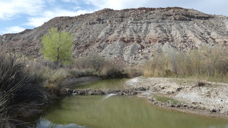
Driving across Humbug Flats with Humbug Buttes looming in the distance is reason enough to take this easy gravel road. However, if you travel to the end, you're treated to an epic remote campsite along the Price River. The trail ends at what can be best described as a natural green beltway. A unique and experimental change is that beavers control the water levels in this area. Using beaver to rehabilitate western forests, rivers, and wetlands is not new. It was a practice the U.S. Forest Service introduced in some western forests in the 1940s but was never widespread. The 15-mile out & back trail is all gravel and periodically maintained. You should expect a bumpy ride with the random washout rut across the road. You will not need four-wheel drive, but durable tires are required. Please do not gather or cut any wood in the desert.
Utah: San Rafael 9130 Hero Photo
Scout Route Icon
5/5 (1 reviews)
Updated: 10/15/2024

San Rafael 9130

Green River, Utah

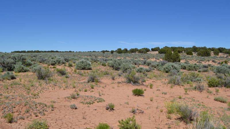
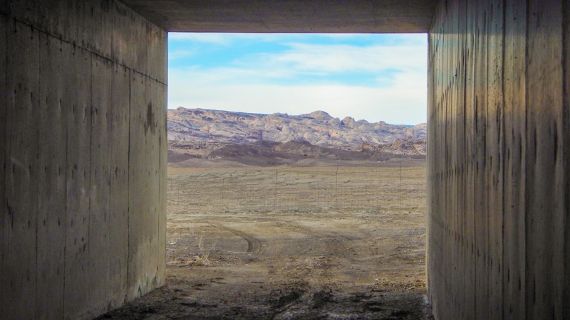
You will wonder what the travelers think as they watch you drive under I-70, out in this desolate landscape. It's a rare opportunity to drive across an interstate median, but it's legal and a creative link on your overland adventure across the San Rafael Swell. The moderate 6.4-mile trail takes about an hour to cross the seemingly endless desert flats. The dirt is soft, and there are countless deep washouts; a few can swallow an entire vehicle. Please use caution since they sneak up on you. A couple of the washouts have become so large you have to detour around them. The two tunnels under the interstate are large enough for full-size vehicles and rooftop tents. The camping is in the wide open and very exposed to the area's frequent winds. However, there is one protected site at the start of the gravel road, behind the large gravel mound, on the northern section of the trail.

Utah: Family Butte Road Hero Photo
Scout Route Icon
5/5 (2 reviews)
Updated: 01/05/2026

Family Butte Road

Moore, Utah

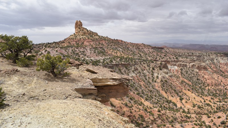
Family Butte Road is tucked far back in the southern region of the San Rafael Swell. The easy-graded dirt road offers breathtaking overlooks, up-close spire views, and memorable primitive camping. In either direction, you will enjoy views of Turkey Spire and Family Butte and stop at a couple of old mine sites. In dry conditions, the route is passable in 2WD with high clearance. There is abundant camping along the route; many sites offer cliffside views, or you can be nestled back in a canyon alone.

Utah: Moore Cutoff to Broken Pond Hero Photo
All-Access Icon
0/5 (0 reviews)
Updated: 09/24/2022

Moore Cutoff to Broken Pond

Emery, Utah
Tucked into the shadows of the Molen Reef and the Coal Cliffs lies a beautiful area seldom explored. Here in the west side of the San Rafael Swell, you can experience mesmerizing sunrises over the Swell, incredible lightning storms in the great distance, and nice cool evenings after a typical hot desert day. Far away from the popular trails in the heart of the Swell, this trail still boasts some awesome features. The views all along the trail are great, looking over the vast Central Utah desert to the east, and looking up to the Molen Reef to the west. As you wind your way through the trail, you will cross numerous washes and rolling painted hills of bentonite clay as you reach Broken Pond. Although the pond is nothing spectacular, it does feel like a little oasis in the middle of nowhere. Camping is also plentiful along this route and you are likely to be alone, even on the weekends. Although it may not be connected to many other trails, it is still near the outer edge of an entire network of trails worth exploring over the course of a few days. This is a nice and quiet little area to explore and can take up a nice full day if you are passing through.

Utah: Jurassic Flats Hero Photo
Scout Route Icon
4/5 (1 reviews)
Updated: 10/15/2024

Jurassic Flats

Victor, Utah

In the far northern region of the San Rafael Swell Recreation Area, Jurassic Flats is a unique, rambling journey across a varied and rugged landscape with a unique beauty and wealth of natural history. Buried under various layers of sediment lies millions of years of bones and other organic surprises. Before traveling to this remote trail, the nearby Jurassic National Monument is an excellent place to begin your journey. Combining the route with Humbug Mountain creates a scenic loop around this colorful landscape.
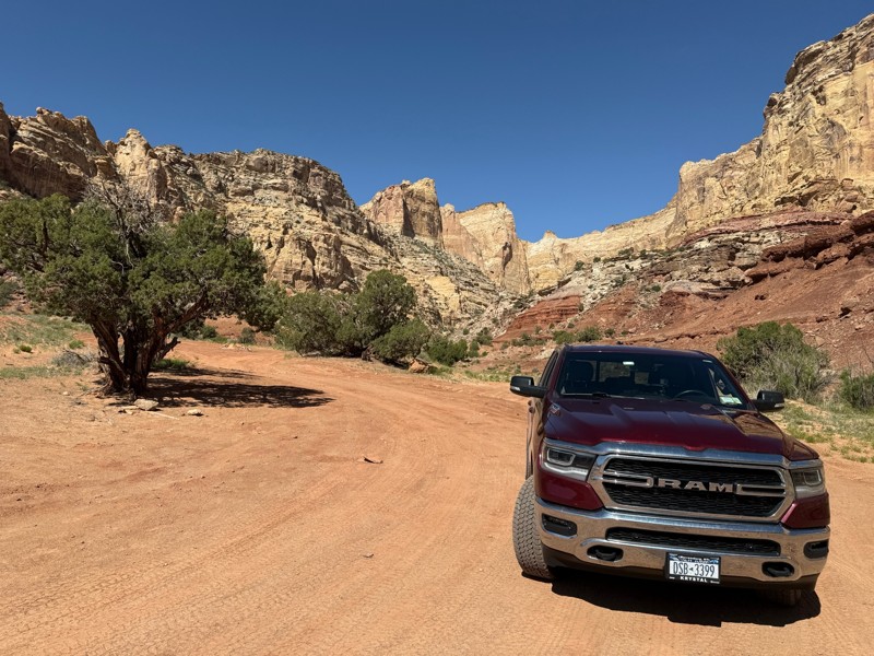
The trail is ideal for stock to slightly modified vehicles. The trail has a few sections in rocky washes, with the big boulders cleared out of the way, but things can always change. Low-range 4x4, high-clearance, and durable offroad-type tires are required. The western portion is wide-open prairies along old fences, while the eastern portion is in the rocky canyons. Camping can be found near the western trailhead in the boulders along the Humbug Mountain trail.

Utah: North Salt Wash Point Hero Photo
Scout Route Icon
4/5 (1 reviews)
Updated: 01/02/2025

North Salt Wash Point

Lawrence, Utah

Deep within the San Rafael Swell, the Salt Wash joins the San Rafael River at a scenic remote canyon overlook. This moderate 4x4 trail travels 7.5 miles to a spectacular overlook of this river junction. The rocky and dirt two-track crosses over desert meadows and along the edge of the Little Grand Canyon. The trail requires high clearance and 4x4 for the numerous rocky ledges and soft sand found along the route. Camping is limited to a few campsites along the edge of the cliffs at the end. It's worth the drive if you desire a private camping experience with breathtaking views.


Utah: Calf Canyon Overlook Hero Photo
Scout Route Icon
3.5/5 (2 reviews)
Updated: 10/15/2024

Calf Canyon Overlook

Woodside, Utah
One of the few maintained roads, Calf Canyon Overlook, is a quick drive over to impressive views of Buckhorn Wash and one of its offshoots, Calf Canyon. Once you hit the first overlook, the trail is not graded anymore. However, it is still lightly maintained and very easy. The second overlook is well worth your time to check out. If camping is your thing, this trail also deserves special note as there are many options, from right off of Green River Cutoff to both of the overlooks.