Region

The San Rafael Swell

Utah

Offroad Trails in The San Rafael Swell

A Region within Utah
4.3/5 (596)

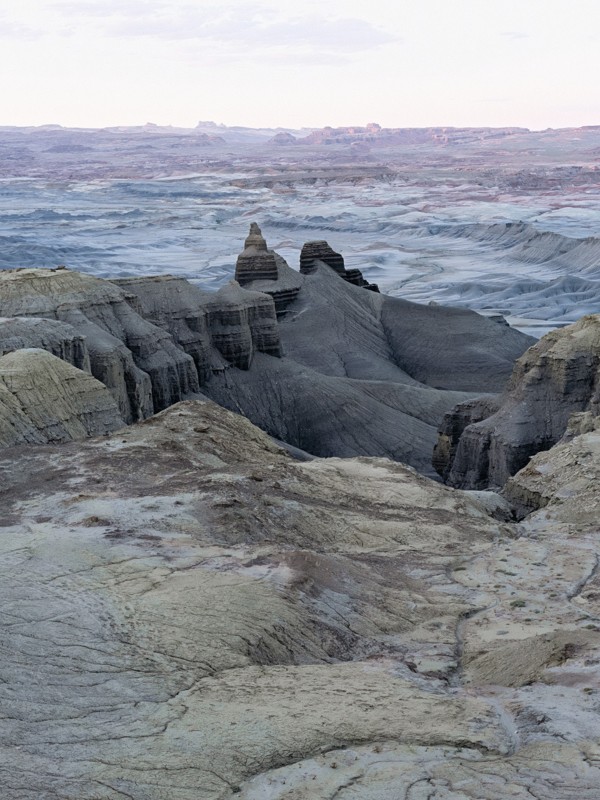
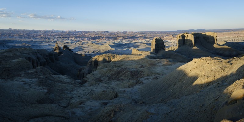
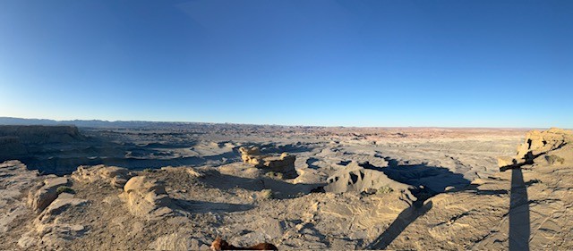
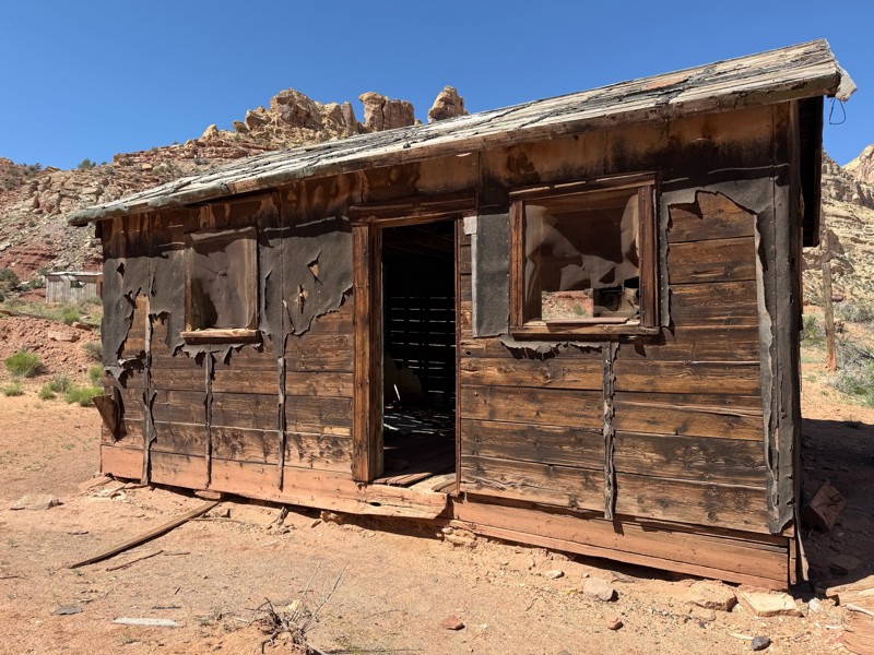
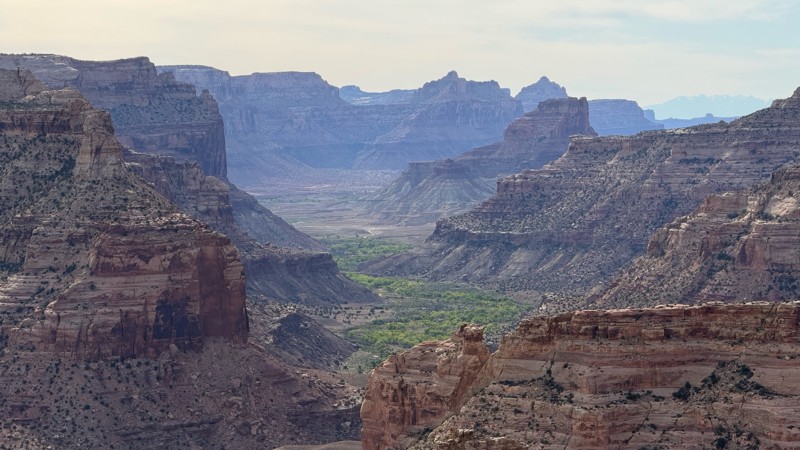
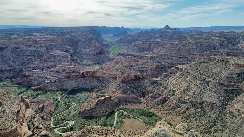
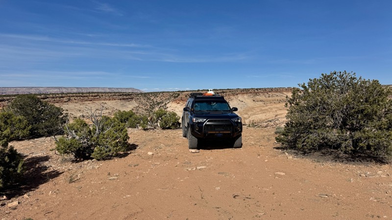
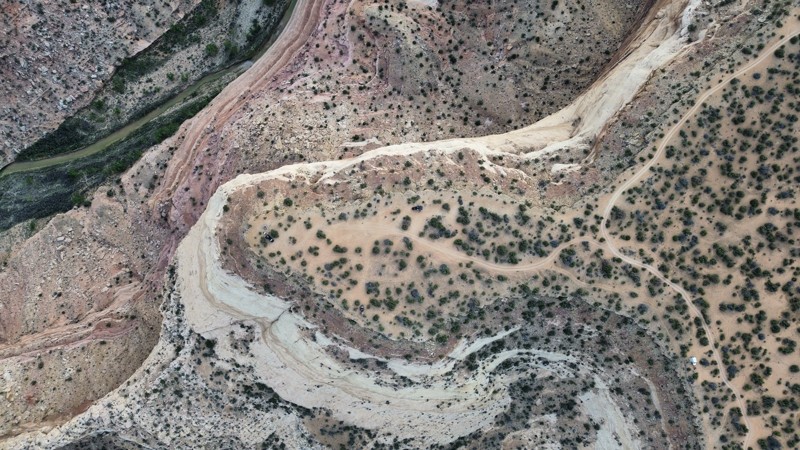
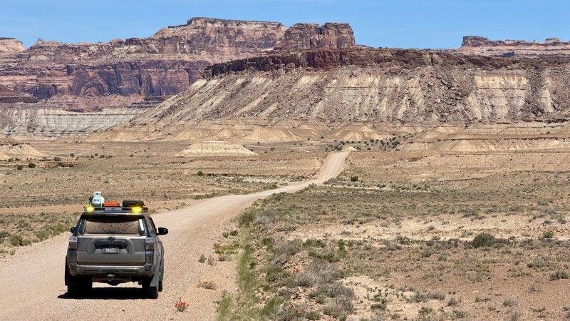
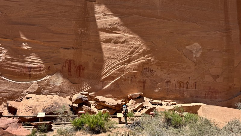
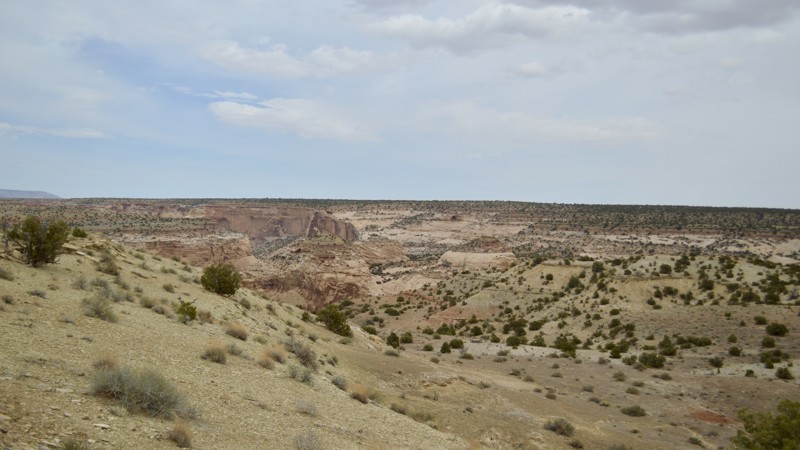
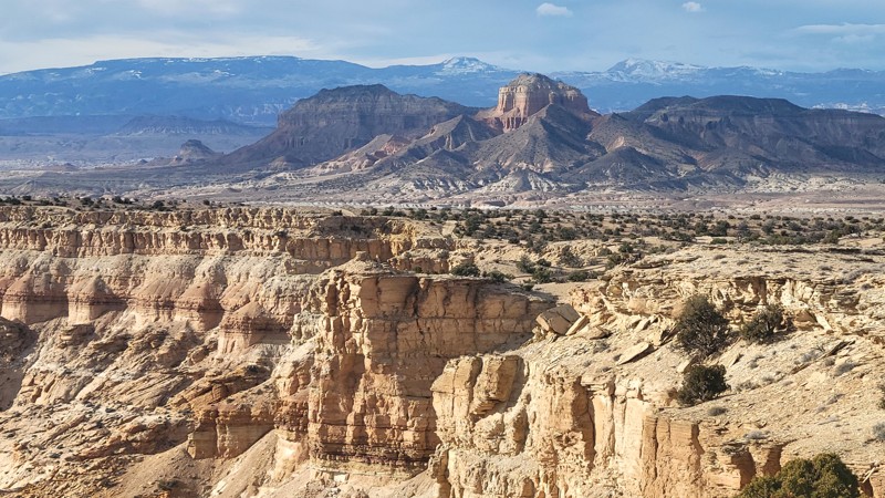
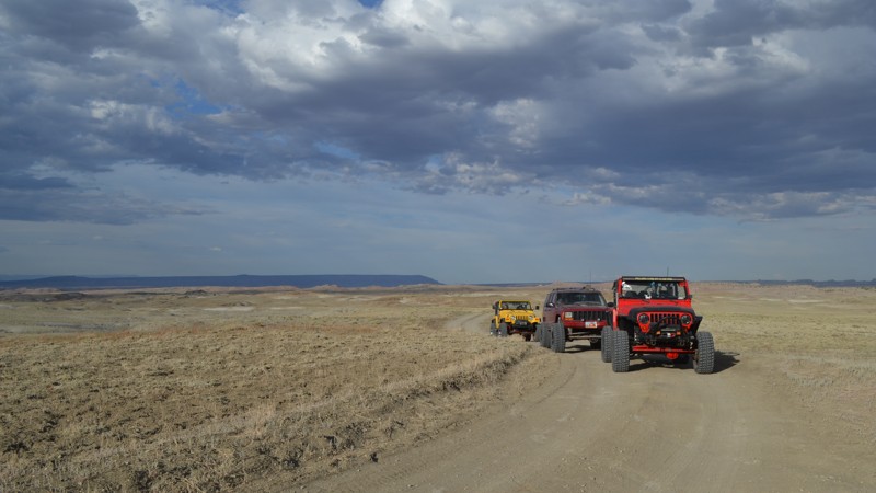
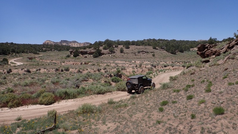
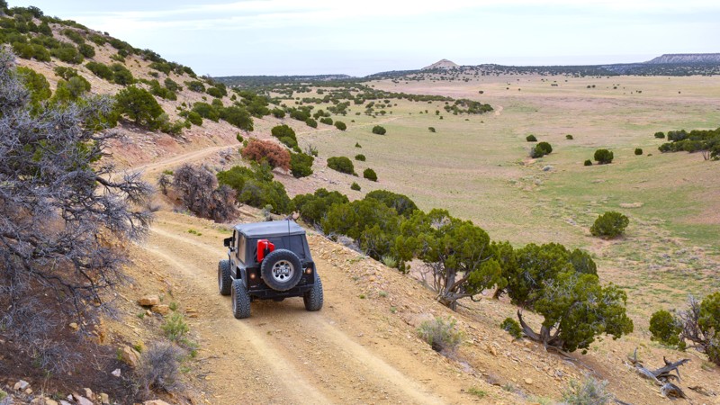
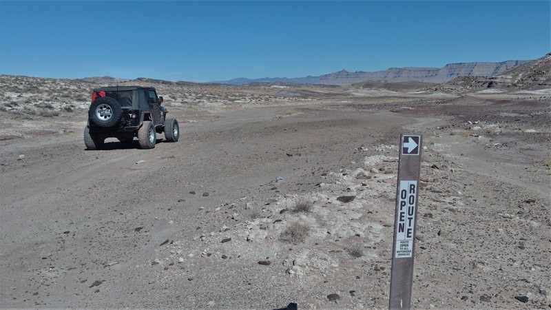
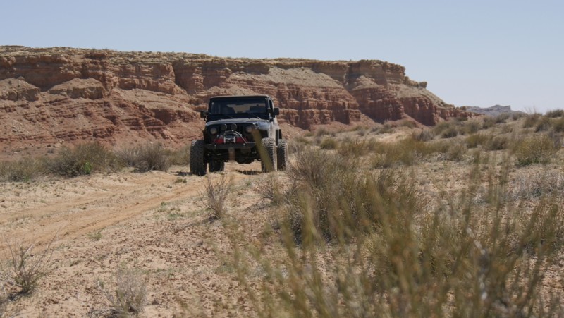
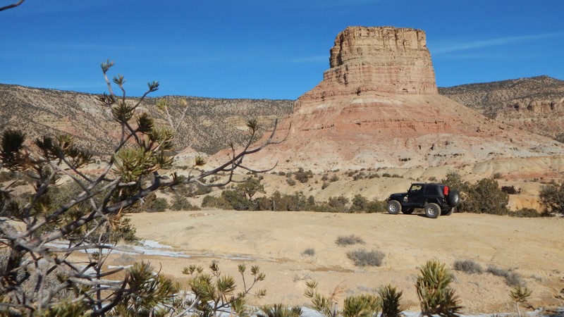
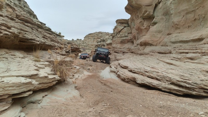
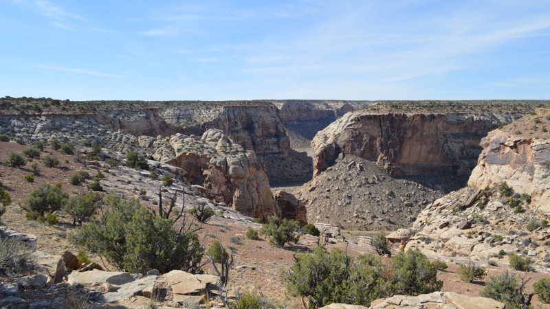
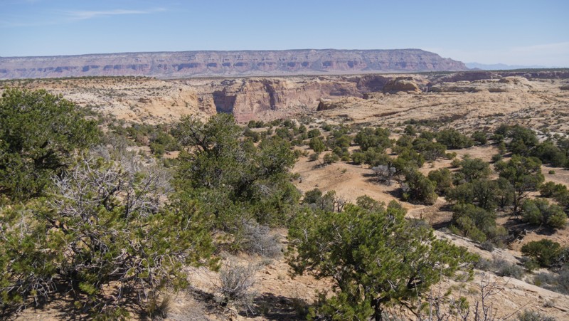
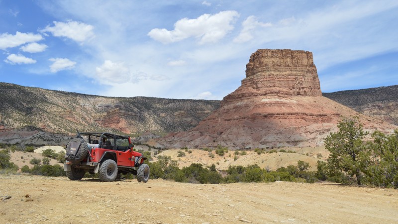
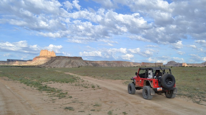
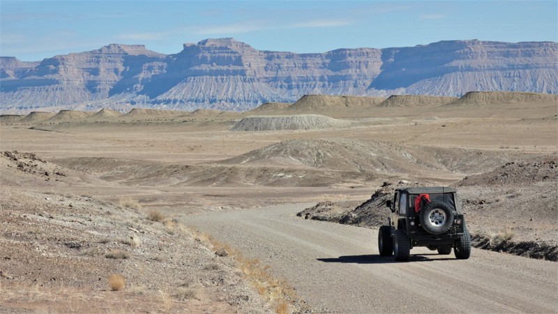
"The Swell," located in south-central Utah, is a geological upheaval that created a colorful desert landscape with towering buttes and narrow slot canyons.  Encompassing 900 square miles, San Rafael Swell is an outdoor paradise with abundant trails for all types of offroad enthusiasts.  There are numerous historical sites where you can get up close to America's best ancient Native American artwork or step into an old log cabin.  Buckhorn Draw and Black Dragon Wash trails travel into narrow slot canyons with designated sites for viewing the artwork. 

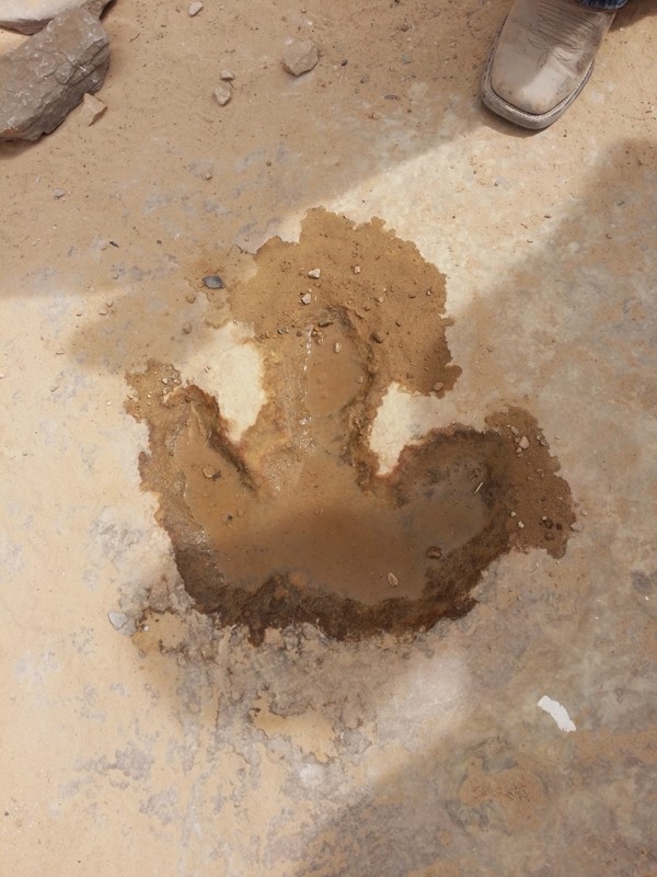
The trail system is vast and divided into two regions by Interstate 70.  The southern area trails are easier and less popular with the average weekend user.  Day trips can include stops at Goblin Valley State Park or squeezing your way through Crack Canyon and Chute Canyon hiking trails along the Behind The Reef trail.  The northern section includes the more difficult and famous 4x4 trails like Eagle Canyon, Devil's Racetrack, and Fix-it Pass; all three have breathtaking views and adrenaline-pumping rock-crawling obstacles.  The far northern region near Wellington, UT, includes an educational stop at Jurassic National Monument, a real-time dinosaur dig open to visitors. 

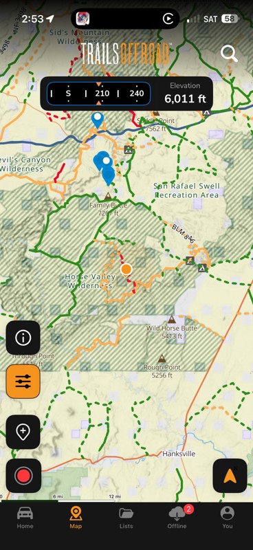
The winter months can be below freezing during the day, and summer temperatures can be over 100° in the shade.  The vast majority of the region is managed by the Bureau of Land Management, which allows camping up to 15 days.  Several areas are protected and designated as no camping; most of these sites are around ancient artwork sites.  Buckhorn Draw now has paid campsites along this very well-groomed scenic drive.  While other, more remote trails have that private campsite with a canyon view you've been searching for.  The Swell is remote, requiring planning, even for a day trip; venturing into this vast desert also requires a map system you can count on.  Preload the San Rafael regional trails offline before you begin your adventure.

Top Reasons to Explore Here

Basemaps
Go All-Access to Unlock


TRAILS OFFROAD™ TRAIL TYPES
Trail Guide
Full detailed write up with Advanced Rating System, Waypoints, Video, and more.
Scout Route
Lite version with highlights, camping, and hardest part documented. Vetted in person.
TRAIL DIFFICULTY RATINGS
easy (1-2)
Suitable for high clearance 2WD
moderate (3-4)
Best suited for a high clearance 4x4
difficult (5-6)
Best suited for a lightly modified 4x4
severe (7-8)
Best suited for a highly modified 4x4
extreme (9-10)
Best suited for specialized buggy type vehicles
LAYERS

Most Recent Trail Reviews

Most Popular

Search for Trails
Utah: Dog Hollow Reservoir Hero Photo
All-Access Icon
2/5 (1 reviews)
Updated: 06/05/2022

Dog Hollow Reservoir

Ferron, Utah
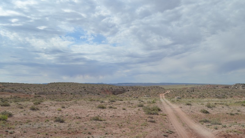
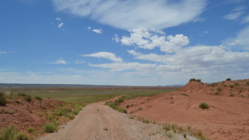
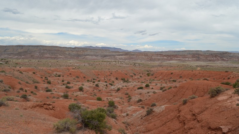
The terms "reservoir" and "desert" don't usually belong in the same discussion. While out meandering along this trail, you may be confused. There is no water to be found along its borders. Merely, a field where severe rainstorms may pool for a few days at most. This trail is quite a journey though, as you weave your way through the red and grey soils of the Central Utah desert. Aside from the idea of water, you gain quite impressive views of the upper west side of the San Rafael Swell, while traveling along a relatively tame trail. If you are looking for some views and a trail to get away from the crowds on the more popular trails in the area, be sure to check this one out!
Utah: Three Fingers Hero Photo
Scout Route Icon
5/5 (1 reviews)
Updated: 10/15/2024

Three Fingers

Green River, Utah

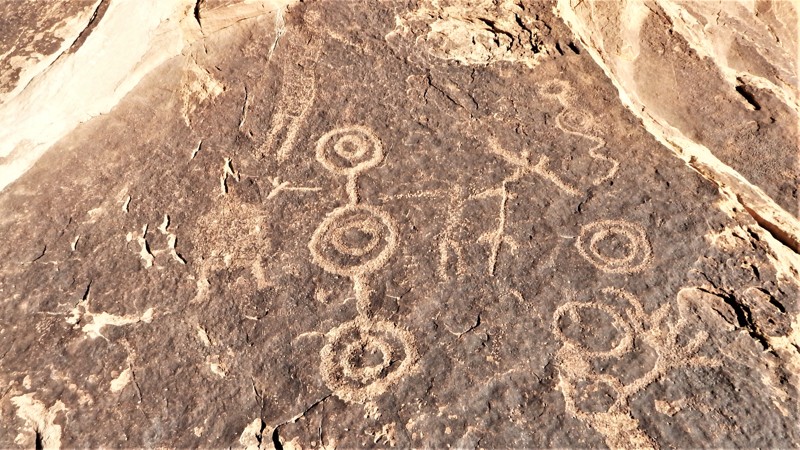
Three Fingers is a popular petroglyph site on the edge of the San Rafael Swell. The site is named for a specific piece of art with three fingers. The artwork is quite impressive, with numerous characters unique to this site. This easy out and back trail travels to a small parking area for hiking to the rock art site. The trail is easy enough for all stock 4x4s with high clearance and durable tires. This dirt road is not for passenger cars. A couple of deep washouts and ruts could cause low clearance 2WD vehicles to become high-centered. The walk to the rock art is about 100 yards beyond the parking area. Stay to the right as you walk into the canyon and start looking at the solid rock ground and walls. Be careful as you walk to help preserve the site; the petroglyphs are in the rock under your feet. There were not any campsites found along this trail. Please do not camp in the parking area.

Utah: Desert Lake Road Hero Photo
Scout Route Icon
3.7/5 (3 reviews)
Updated: 05/01/2026

Desert Lake Road

Elmo, Utah

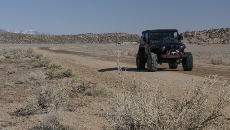
Camping and more camping is the best way to describe Desert Lake Road. This well-maintained gravel and dirt road is the main access route into the San Rafael Swell from the north. The trail travels across wide-open prairie while approaching the base of Cedar Mountain. Once you're around the foothills, the boulders along the eastern edge of the trail contain numerous free campsites. Many primitive campsites have large open areas for groups or RV campers. Smaller sites are hidden back in the boulders, making an ideal basecamp while exploring the Swell.

Utah: Red Canyon West Fork Overlook Hero Photo
Scout Route Icon
5/5 (1 reviews)
Updated: 10/15/2024

Red Canyon West Fork Overlook

Woodside, Utah
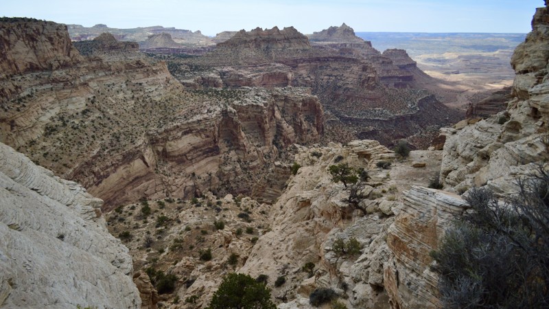
There is always one little surprise in an area, and this trail is it. Not hard, nor far from Green River Cutoff, the main artery of the Swell, this little jaunt takes you to a quite a surprising view. Camping at the end is possible, however, it is not very level if you are looking for any more room than just 2 rigs or tents. Be sure to check this one out next time you want to see a great overlook!
Utah: Little Wedge Road Hero Photo
Scout Route Icon
5/5 (2 reviews)
Updated: 05/28/2026

Little Wedge Road

Clawson, Utah
Often, people search for places similar to more popular or more prominent destinations but on a smaller scale or lesser-known to avoid the crowds. While the Grand Canyon is well known, the Wedge is a smaller, and far less visited replica. And just around the corner from the Wedge Overlook is the Little Wedge. This incredible precursor to the main attraction is well worth the visit if avoiding the crowds is one of your main concerns. One thing that the Little Wedge can offer that the Wedge Overlook cannot is spectacular hiking right off of the trail. The Sids Mountain Wilderness Study Area is along its eastern edge, marked by a wooden fence line. Scattered along the trail, you will see breaks in the fence and a footpath leading off into the distance below, likely leading to some scenic or photographic spot along the North Salt Wash or many other washes feeding the San Rafael River in times of heavy rain. Gear up and escape the masses along Little Wedge Road!

Utah: South Salt Wash Hero Photo
All-Access Icon
2/5 (1 reviews)
Updated: 06/05/2022

South Salt Wash

Emery, Utah
Have you ever wanted to avoid pavement just because? That is the reason to run this trail. Taking you from I70 to the 2/3rds point of the Moore Cutoff Road, this trail will bypass the very steep grade on the south end of Moore Cutoff Road before you hit the freeway. The scenery is typical of the western Swell, and with quite a few wash crossings, this trail could add a little entertainment to an otherwise easy drive. This trail also connects to the entrance of a large network of trails in the southern end of the Swell, making it possible to expand your trip into a full weekend of adventure.
Utah: Morrison Knudsen Tunnels Hero Photo
Scout Route Icon
4/5 (1 reviews)
Updated: 10/15/2024

Morrison Knudsen Tunnels

Cleveland, Utah
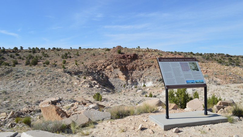
The San Rafael Swell seems such a strange location for an unknown "experiment." The Morrison Knudsen Tunnels lie in the north end of the San Rafael Swell, in the hills right next to Buckhorn Wash. These tunnels were completed in 1952 and have little history written about them. The Department of Defence provided limited answers, so one can only imagine their true purpose. If you are interested in the history of the Swell, be sure to check out this area and read all about this strange tunnel complex.
Utah: Slaughter Slopes Hero Photo
Scout Route Icon
5/5 (3 reviews)
Updated: 04/10/2026

Slaughter Slopes

Whipup, Utah

An astonishing overlook awaits the adventurous traveler who ventures way out into this remote region of the San Rafael Swell. Slaughter Slope, on the western rim of The Swell, is a massive geologic upheaval named after a wild horse slaughter in the 1930s. The rather mundane drive up to the cliff edge can reward you with fleeting glimpses of the remaining wild horses. While along the rim, you'll enjoy some of Utah's most spectacular views. The 360° views are like no other place on the planet, and you can camp right there on the rim, or you can find a campsite away from the edge. Durable tires, high clearance, and 4x4 for some vehicles may be required to reach the very end viewpoint. A loose shale rock hill leading to the summit is the most difficult challenge. Steady momentum should carry even the biggest rigs up and over.

Utah: E South Sand Bench Loop Hero Photo
All-Access Icon
1/5 (2 reviews)
Updated: 06/05/2022

E South Sand Bench Loop

Ferron, Utah
E South Sand Bench Loop is both a quick and mellow dirt trail off of Horn Silver Gulch. Though you likely won't consider this trail to be anywhere near as scenic as some of the more popular areas of the swell, its vast open fields of rocky terrain may have you feeling as though you've transported to the planet Mars. Out here, you'll find the sweet sound of seclusion and a handful of remote campsites for larger groups. With a few spurs of its own, you could easily find yourself spending a couple of hours weaving your way through a web of trails.
Utah: Earl's Draw Hero Photo
Scout Route Icon
3/5 (3 reviews)
Updated: 09/23/2026

Earl's Draw

Moore, Utah

A more challenging trail leading west toward Swasey's Cabin and Eagle Canyon, Earl's Draw is an easy-to-moderate 2.8-mile two-track traveling past several charming campsites. The trail winds through a dry gully with a few short side trails leading to large campsites. Almost all the sites are ideal for a group base camp while exploring the San Rafael Swell trails. The trail is ideal for beginners and stock vehicles with durable tires.

Utah: Arsens Garden Loop Hero Photo
Scout Route Icon
3/5 (2 reviews)
Updated: 04/08/2025

Arsens Garden Loop

Green River, Utah

Circling out and back across rolling hills and sprawling meadows, Arsens Garden Loop is used to access some of the country's best-wet slot canyoneering. Upper Greasewood Draw and other narrow slot canyons can be accessed by foot along this trail. A couple of pull-off areas mark where the hiking trails leading to the canyons begin. Minimal camping is found before the loop begins, and no "campsites" are found on the loop itself. The wildlife is abundant; herds of pronghorn antelope, the fastest animal in North America, can be seen grazing. The trail is ideal for stock-type 4x4s with high clearance. The tunnels under Interstate 70 appear to be around 12' tall. They can be filled with blowing sand, reducing the height. Do not attempt the trail in wet conditions.

Utah: Prospector Trail Hero Photo
Scout Route Icon
3.5/5 (4 reviews)
Updated: 09/23/2026

Prospector Trail

Green River, Utah
The Prospector Trail is an excellent continuation of the Buckmaster mining region over to the Cottonwood Canyon Road area of The Swell. The trail was once used to access numerous old mines in the area but has now become an easy way across this alien landscape. Be sure you have high clearance and durable off-road tires to get through the sharp rocks and washouts. The trail is lightly used, in fair to good condition, and not very bumpy. You might need 4x4 if you get high-centered in a rut or when it's wet. The camping is limited, and there were minimal spots without rocks covering the ground.
Utah: Tidwell Draw Hero Photo
Scout Route Icon
4/5 (2 reviews)
Updated: 11/20/2024

Tidwell Draw

Green River, Utah

An excellent addition to Thompson Hole, Tidwell Draw offers a more clear view of the Swell's uprising and a different 4x4 challenge while traveling out to the Hole. The trail is the same difficulty, but the challenges are more dirt with a mix of rock. You also drive through the cottonwood trees in the large Tidwell Draw. The trail ends at the brushy, dry Tidwell Draw and the always-flowing San Rafael River. There was no river access and no camping found along this route.

Utah: Old Spanish Trail Hero Photo
Scout Route Icon
3/5 (3 reviews)
Updated: 10/01/2025

Old Spanish Trail

Green River, Utah

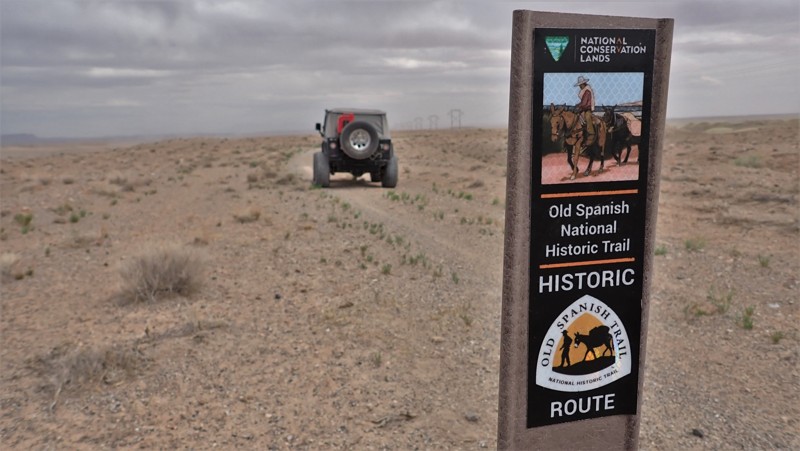
As the early settlers crossed this desolate landscape, they marked their way, leaving behind a trail marker for others to follow. Old Spanish Trail is the original route used by these weary travelers. This small section follows that original trail before it treks through Cottonwood Wash. The trail is loose and soft dirt but was once a graded road in areas. BE CAUTIOUS because there are deadly blind washouts. One crossing over a washout is not advised. Bypassing around the crumbling "bridge" will prevent a collapse. Camping is in the wide open on the dirt, where it can be very windy.

Utah: Spirit Railroad to Chimney Rock Hero Photo
Scout Route Icon
4.5/5 (2 reviews)
Updated: 09/21/2026

Spirit Railroad to Chimney Rock

Woodside, Utah
Take a short trip down history lane along this easy 4x4 trail. In 1881 Spirit Railroad was extended into this region of San Rafael. This trail travels right on its old grade to one of the best-preserved sites to see anything left from its construction. After wandering around the site looking for the old chimney, head back to Chimney Rock. The towering rock formation will make you think of the much larger Devil's Tower in Wyoming. There was a nice campsite near the base. The trail has a couple of mild challenges for stock 4x4s. You may need a four-wheel drive and high clearance to prevent high centering.
Utah: Neversweat Canyon Hero Photo
Scout Route Icon
5/5 (3 reviews)
Updated: 05/02/2025

Neversweat Canyon

Woodside, Utah

Neversweat Canyon is a truly unique Utah rock-crawling experience that isn't well-known or run by full-size vehicles. The pock-marked greenish sandstone narrow slot canyon section is almost surreal. You must choose your line through the entire canyon, over and around boulders, picking the best line for your vehicle, one rock at a time. The canyon is very challenging in stock vehicles. Modified 4x4s with extra ground clearance, skid plates, and durable 33-inch tires are recommended for this challenging route. Count on harsh pin-striping and potential body damage. The route follows the wash for the entire canyon. Motorcycles still use the grassy by-passes, which are now reclaimed and overgrown, therefore reduced to single-track. There's no camping within the canyon, but it is available on many of the easier trails in the area.

Utah: Buckhorn Wash Overlook Hero Photo
Scout Route Icon
4.5/5 (2 reviews)
Updated: 05/28/2026

Buckhorn Wash Overlook

Lawrence, Utah
Buckhorn Wash Overlook is a neat little scenic drive away from the crowds of the Swell. No obstacles lie along its path, making it a great option for some epic views for any driver, seasoned or beginner. Adventurers looking for secluded camping may also find this trail particularly intriguing as there are many options for small groups to enjoy quiet solitude.
Utah: Lone Warrior Hero Photo
Scout Route Icon
5/5 (2 reviews)
Updated: 10/15/2024

Lone Warrior

Moore, Utah
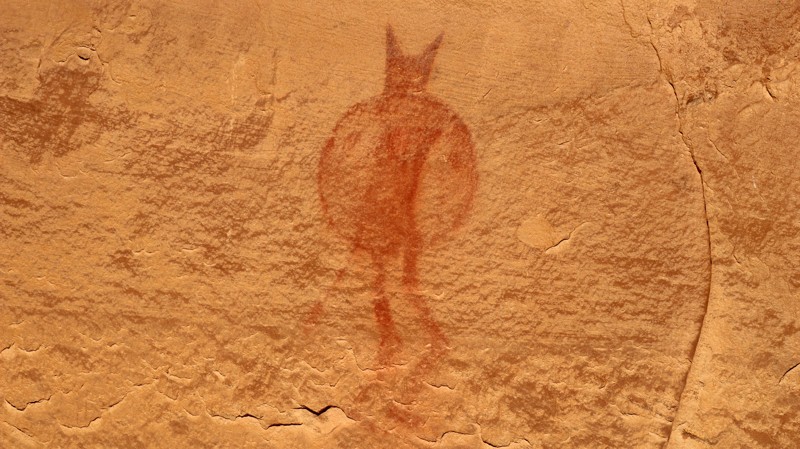
The San Rafael Swell hosts an extraordinary collection of ancient petroglyphs and pictographs. One of the most unique is the Lone Warrior pictograph. A massive sandstone wall hosts a single red figure holding his spear and shield. To be totally honest, there are other faded pictographs along the sandstone edifice. However, it takes a keen eye to spot them. Lone Warrior is a spur off Swasey's Cabin. The brief drive to the Lone Warrior trailhead is sandy and prone to occasional washouts, but normally very easy. The hike to the Lone Warrior panel is only a few hundred feet on level ground. Several fantastic campsites are nestled in sandstone outcroppings on the north side of the road. They make a wonderful place for a great night under the stars contemplating the story behind the Lone Warrior.
Utah: Dog Hollow Reservoir Alternate Hero Photo
All-Access Icon
4/5 (1 reviews)
Updated: 01/02/2025

Dog Hollow Reservoir Alternate

Emery, Utah

As the name suggests, this is another way to reach Dog Hollow Reservoir. Although that may not be your end goal, this trail is pretty exciting in its own way. From the start, you are treated with views over the western side of the San Rafael Swell. Once you start down into the wash, you will be treated with a few minor obstacles until you must exit the wash. Over the years this exit changes, so much so that previous users abandoned hopes of continuing on and returned the way they began. This has left the northern end of the trail almost invisible. For those people able to exit the wash, you can head north to other access trails for the Swell. If you are just looking for a little dirt, be sure to make it to the descent before the wash for the most scenic views!
Utah: Lower Wedge Hero Photo
Scout Route Icon
5/5 (1 reviews)
Updated: 10/15/2024

Lower Wedge

Lawrence, Utah

Lower Wedge is simply the trail with the most camping in the area. This easy dirt road winds through the trees to several free and eight improved sites that charge a fee. The campsites range from large open sites for RVs and groups to small intimate single tent camps with beautiful views of the nearby canyons. The trail ends at a large turn-around with a canyon view with Cedar Mountain as a backdrop. Early in the trail at campsite 5, there are vault toilets for the area campers. The most challenging part is the blind corners around the trees. Please be sure to use caution and take it slow.

Utah: Long Point Ridge Foothills Hero Photo
Scout Route Icon
4/5 (2 reviews)
Updated: 10/15/2024

Long Point Ridge Foothills

Woodside, Utah
Tucked away in a lesser-known part of the San Rafael Swell is a little trail that skirts the foothills of Long Point Ridge. This trail is very different from others around it. In addition to the ever-reliable scenic views you will receive, you must also face a bit of a challenge as this trail winds its way up and down through countless little washes. Though the washes are not rocky and choppy, they are narrow and steep. Vehicles larger than stock width or longer than 100 inches may find themselves in a bad spot or two due to how quickly you drop and begin climbing the back out at near 90-degree turns. Width is a big issue on this trail, as there are two spots that a slightly widened TJ could barely squeeze. If you are up for a fun little roller coaster challenge, check this one out.
Utah: Cane Wash Cutoff Hero Photo
Scout Route Icon
4/5 (1 reviews)
Updated: 10/15/2024

Cane Wash Cutoff

Castle Dale, Utah
This is an unmaintained dirt road with a few small wash crossings and the occasional patch of sand. The trail runs straight-through from Buckhorn Wash to Cane Wash, about 2.7 miles in length. There are no major obstacles and should be suitable for any high clearance vehicle. It provides access to Cane Wash and Pinnacle Point, which offers many options for camping. There is also a neat little hiking trailhead just across Cane Wash right at the end.
Utah: Buckmaster Road Hero Photo
Scout Route Icon
3.3/5 (3 reviews)
Updated: 04/22/2026

Buckmaster Road

Green River, Utah
Buckmaster Road is an easy county road used for accessing numerous trails leading into the San Rafael region of Utah. The road travels from highway 191 over to Smith Camp Road and Four Corners Mine Road, leading to numerous enjoyable 4x4 routes. The trail is mainly crushed gravel with a few very bumpy washboard sections. There weren't any established campsites found along this route. You can find the best camping along Four Corners Mine Road, picture included.
Utah: Buried Forest Hero Photo
Scout Route Icon
3/5 (1 reviews)
Updated: 10/15/2024

Buried Forest

East Carbon, Utah

In the early 20th century, a Utah photographer captured an image he labeled "Buried Forest." Perhaps he thought the large circles in the cliff face were petrified logs. We now know that to be false, but they are visually stunning, naturally occurring rock formations. The recent rediscovery of the "Buried Forest" concretions gave folks in Carbon County a new interpretation site. A hiking trail with signage explains how these tubes formed. The road from the highway and all the main roads in the region are well maintained. They are rough gravel, but there are no washouts or serious washboards. Camping is wide open and free, but the only established site was at the hiking trailhead. It's very exposed to the wind and visitors to the interpretive site. The hike to the site of the tubes is 1 mile.