




















Region

The San Rafael Swell

Utah

Offroad Trails in The San Rafael Swell

A Region within Utah
4.3/5 (596)

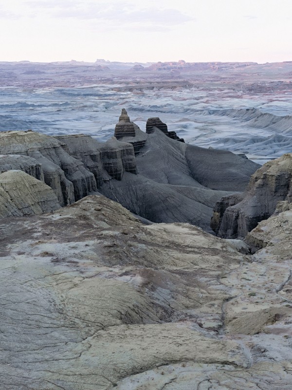
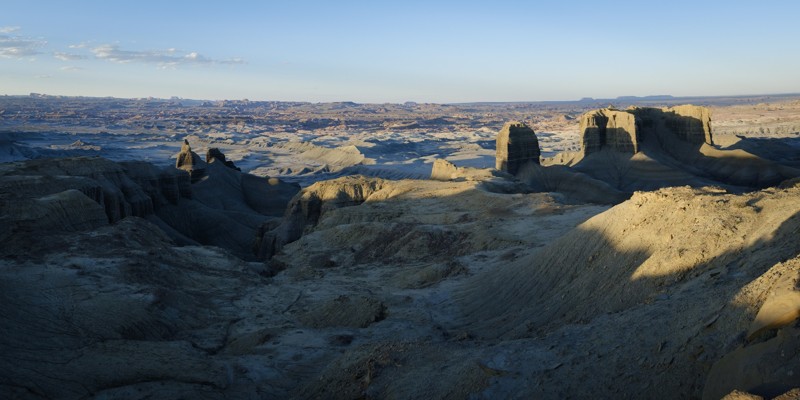
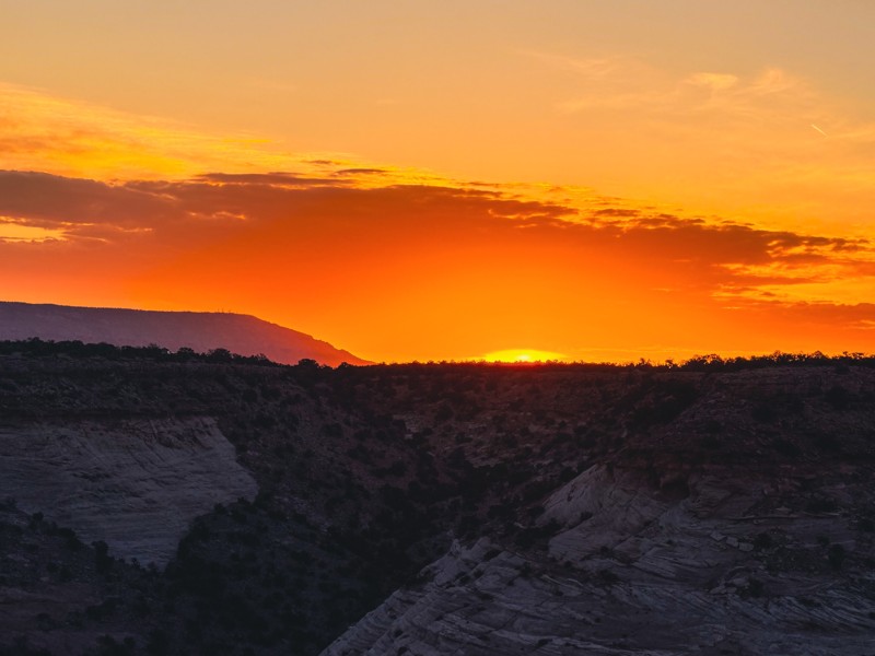
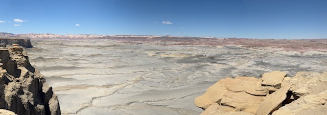
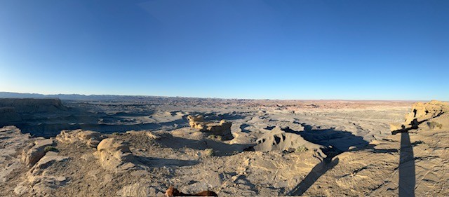
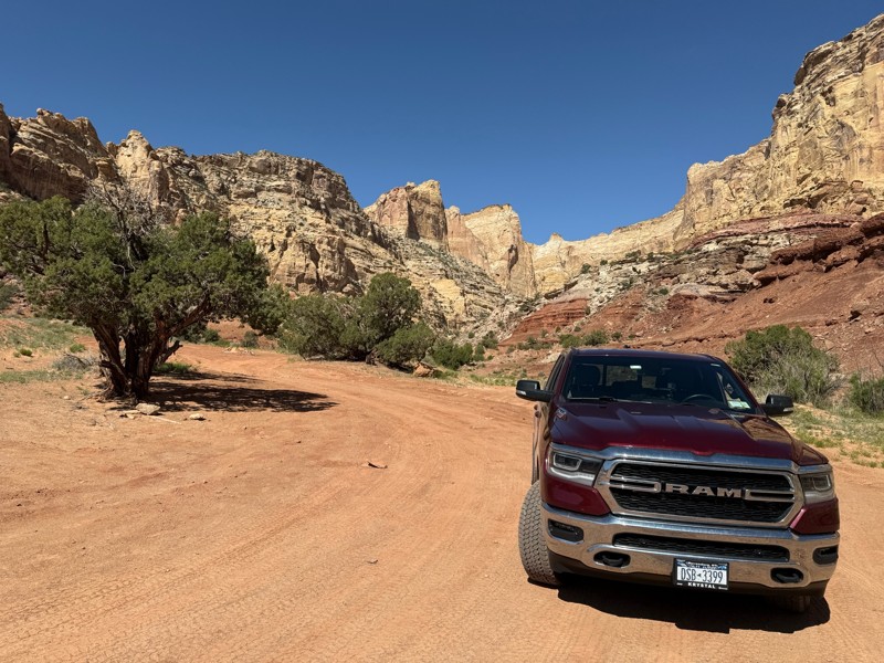
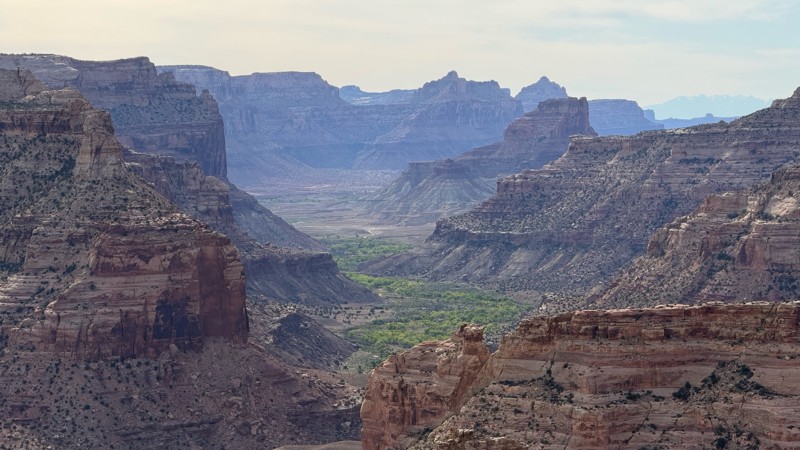
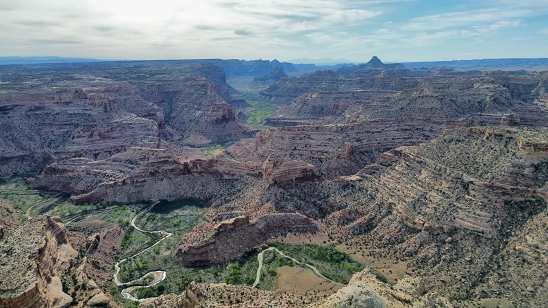
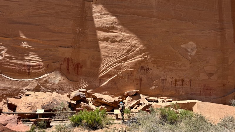
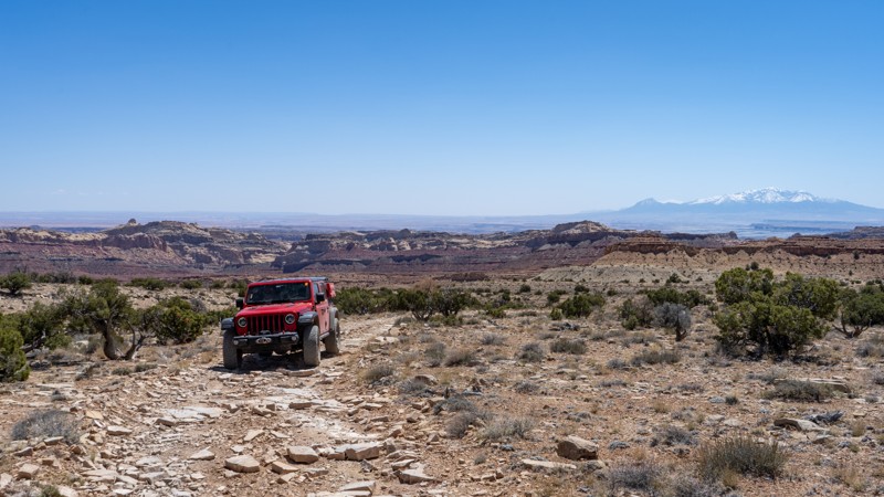
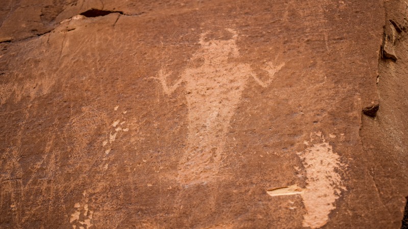
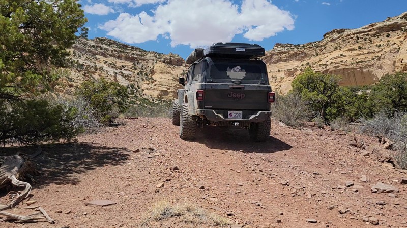
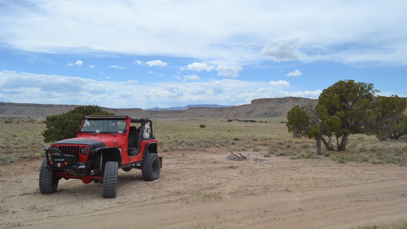
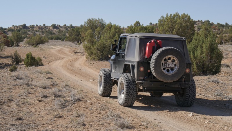
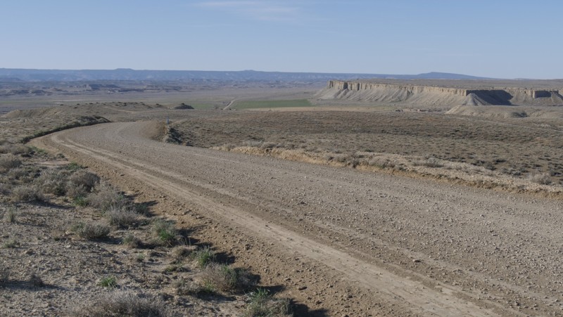
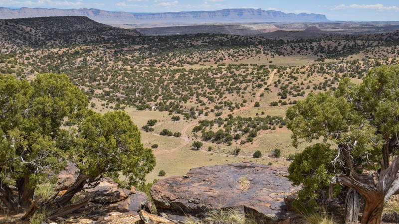
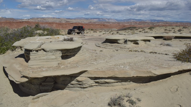
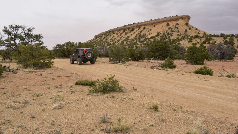
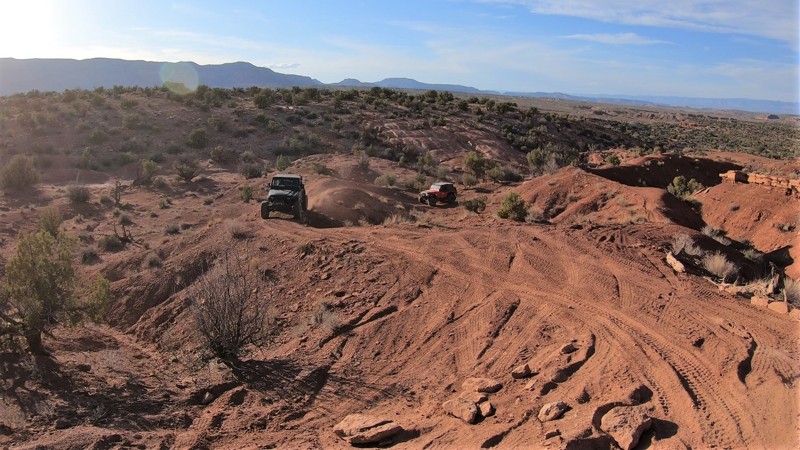
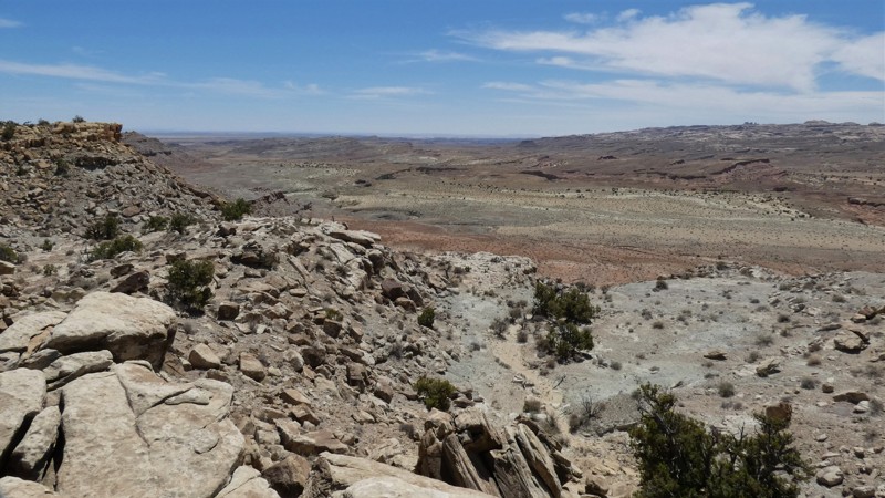
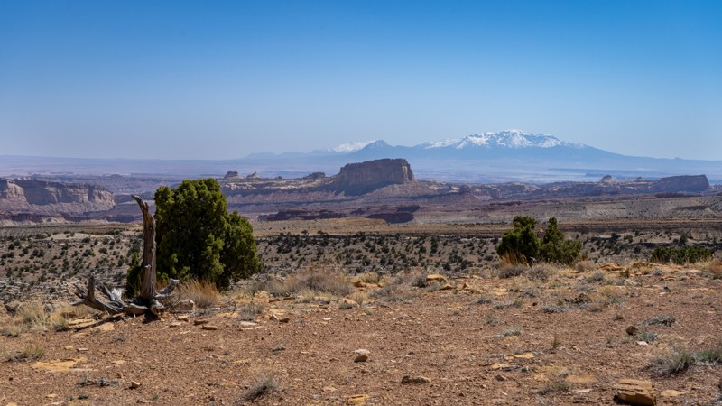
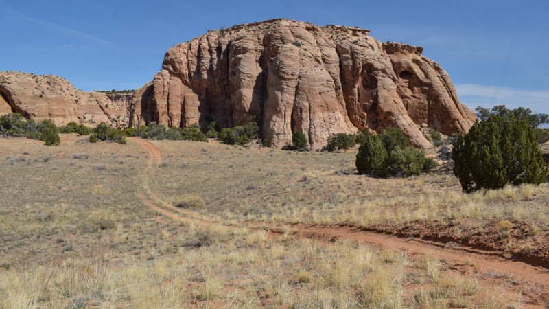
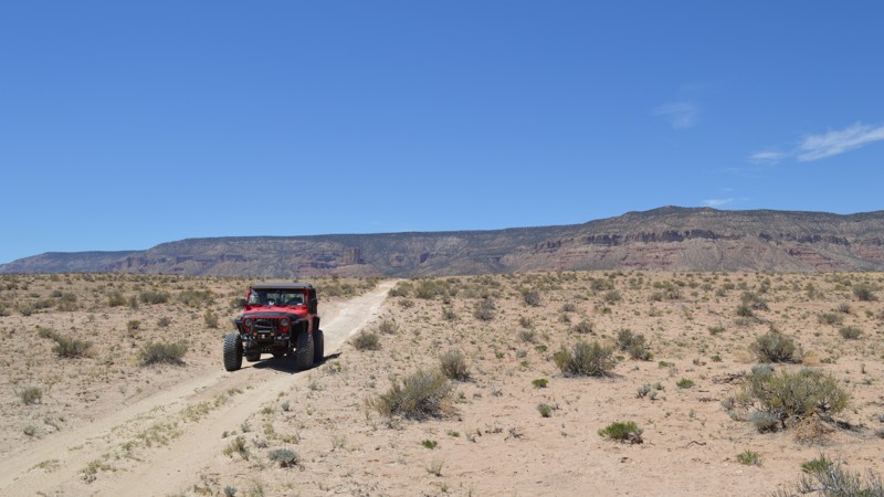
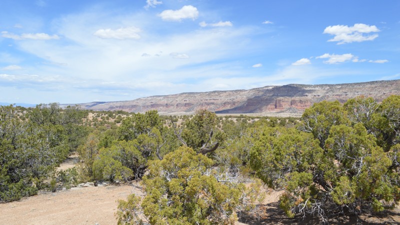
"The Swell," located in south-central Utah, is a geological upheaval that created a colorful desert landscape with towering buttes and narrow slot canyons.  Encompassing 900 square miles, San Rafael Swell is an outdoor paradise with abundant trails for all types of offroad enthusiasts.  There are numerous historical sites where you can get up close to America's best ancient Native American artwork or step into an old log cabin.  Buckhorn Draw and Black Dragon Wash trails travel into narrow slot canyons with designated sites for viewing the artwork. 

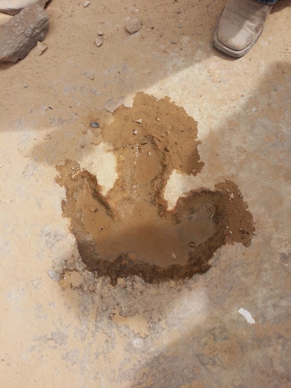
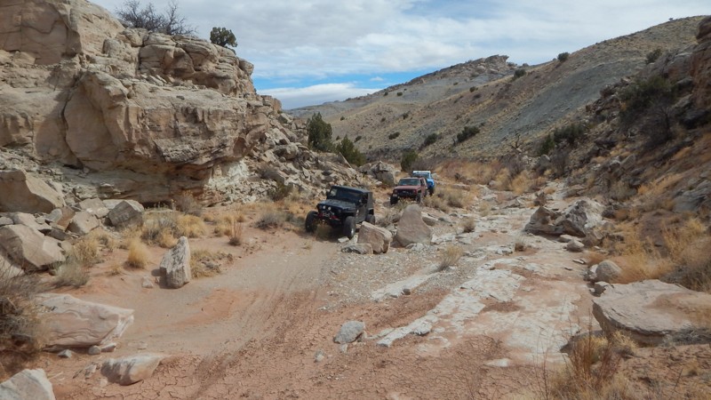
The trail system is vast and divided into two regions by Interstate 70.  The southern area trails are easier and less popular with the average weekend user.  Day trips can include stops at Goblin Valley State Park or squeezing your way through Crack Canyon and Chute Canyon hiking trails along the Behind The Reef trail.  The northern section includes the more difficult and famous 4x4 trails like Eagle Canyon, Devil's Racetrack, and Fix-it Pass; all three have breathtaking views and adrenaline-pumping rock-crawling obstacles.  The far northern region near Wellington, UT, includes an educational stop at Jurassic National Monument, a real-time dinosaur dig open to visitors. 

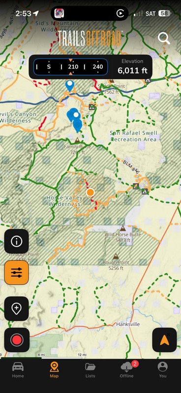
The winter months can be below freezing during the day, and summer temperatures can be over 100° in the shade.  The vast majority of the region is managed by the Bureau of Land Management, which allows camping up to 15 days.  Several areas are protected and designated as no camping; most of these sites are around ancient artwork sites.  Buckhorn Draw now has paid campsites along this very well-groomed scenic drive.  While other, more remote trails have that private campsite with a canyon view you've been searching for.  The Swell is remote, requiring planning, even for a day trip; venturing into this vast desert also requires a map system you can count on.  Preload the San Rafael regional trails offline before you begin your adventure.

Top Reasons to Explore Here

Basemaps
Go All-Access to Unlock


TRAILS OFFROAD™ TRAIL TYPES
Trail Guide
Full detailed write up with Advanced Rating System, Waypoints, Video, and more.
Scout Route
Lite version with highlights, camping, and hardest part documented. Vetted in person.
TRAIL DIFFICULTY RATINGS
easy (1-2)
Suitable for high clearance 2WD
moderate (3-4)
Best suited for a high clearance 4x4
difficult (5-6)
Best suited for a lightly modified 4x4
severe (7-8)
Best suited for a highly modified 4x4
extreme (9-10)
Best suited for specialized buggy type vehicles
LAYERS

Most Recent Trail Reviews

Most Popular

Search for Trails
Utah: BLM 855 Hero Photo
Scout Route Icon
3/5 (1 reviews)
Updated: 10/15/2024

BLM 855

Hanksville, Utah

Although not technical, BLM 855 provides an alternate path over a small plateau rather than around its foothills. While Wild Horse Canyon stays low, BLM 855 climbs, providing a different vantage point for its brief 1.5-mile length. There are no technical obstacles, but 4WD may be required to navigate the loose, rocky patches on the incline and decline. Embedded rock is littered with loose fragments, so slow and steady momentum is your friend. Camping is not found directly off this trail. However, many nearby trails have dispersed camping options available.

Utah: Lower Price River Canyon Hero Photo
Scout Route Icon
5/5 (1 reviews)
Updated: 10/15/2024

Lower Price River Canyon

Woodside, Utah

Lower Price River Canyon is one of those trails where you think, "Since I'm here, I might as well check it out," followed by being pleased you did. With easy access from Highway 191, it is passable in 2WD drive vehicles with high ground clearance and durable tires. The trail twists past private ranch land marked by old tires before primitive camping begins, and you enter the Desolation Canyon Wilderness. Price River comes into view as the canyon walls close in. Sometimes, you drive on steep, narrow shelf roads high above the muddy river. The trail is bouncy but reasonably well-maintained to the dead end at the old, closed river crossing. The real reason to venture out and back is the petroglyphs and pictographs hidden along the canyon walls. There are two sites, one with many hidden gems on the rocks.

Utah: Cedar Mountain Bench Hero Photo
Scout Route Icon
4/5 (1 reviews)
Updated: 10/15/2024

Cedar Mountain Bench

Lawrence, Utah
This mild trail is a neat little alternative to the more popularly traveled Green River Cutoff. Camping is abundant among the many little side spurs taking you right up to the walls of Cedar Mountain. Another great little advantage to taking this lesser-known route is the views over this part of the Swell. If you've got a little spare time in your day, take the scenic route!
Utah: BLM 929 Hero Photo
Scout Route Icon
5/5 (1 reviews)
Updated: 10/15/2024

BLM 929

Moore, Utah
This trail is a connector between Rods Valley Road and the Upper Eagle Canyon Trail. This trail does not get very much use and is quite tight. Expect pinstripes. There weren't any campsites along this trail.
Utah: NF-3498 Hero Photo
Scout Route Icon
4/5 (1 reviews)
Updated: 10/15/2024

NF-3498

Moore, Utah

Hugging up against the Molen Reef, NF-3498 is an easy jaunt taking you from Moore Cutoff Road to Horn Silver Gulch/Dutch Flat Road. This is a mellow trail suitable for any driver looking to get out and enjoy the San Rafael Swell's incredible views. Camping is also amazing along this route and away from the major crowds of the Swell.

Utah: Camel Wash Hero Photo
Scout Route Icon
5/5 (1 reviews)
Updated: 10/15/2024

Camel Wash

Woodside, Utah

If you're the adventurous type seeking the lesser-traveled trail, bushwhacking and rock crawling through remote Camel Wash is made for you. This very lightly used canyon is far out in the northern region of the San Rafael Swell Recreation Area, where very few full-size vehicles travel. The trail is almost "virgin" in spots, with the driver having to find their way through the brush, over boulders, up and down near vertical dirt embankments, all while staying on track. The trail is best traveled in either direction, the easiest being the flats on the western end. Combined with Neversweat and Grey Flats, it creates a fantastic rock-crawling scenic loop. No established campsites were noted along this trail, but a small group could use numerous flat and open areas on the BLM Land. You will need rock crawling experience and a reliable 4x4 vehicle with durable tires and high clearance.

Utah: Bitter Seep Passage Hero Photo
All-Access Icon
4/5 (1 reviews)
Updated: 06/05/2022

Bitter Seep Passage

Ferron, Utah
In the heart of Utah lies the San Rafael Swell, an area full of trails winding through towering red sandstone cliffs, juniper trees, and sandy washes. Tucked into the far western side of the Swell lies a seldom-used area in the shadows of the Molen Reef. Bitter Seep Passage is a great way to head back from Broken Pond after running the Moore Cuttoff to Broken Pond trail. The bulk of Bitter Seep Passage stays in a wash as you climb back up to higher ground. Although there are no difficult obstacles, the wash has the ability to change with every passing storm. This is a cool little trail to run to get you heading back to the Moore Cutoff Road.
Utah: East Wedge Hero Photo
Scout Route Icon
4/5 (2 reviews)
Updated: 04/24/2026

East Wedge

Lawrence, Utah

Time to get off the gravel roads and find a campsite? East Wedge is an ideal trail for those seeking more difficulty in their trails and privacy in their camps. The trail crosses over rolling prairie land with views of Cedar Mountain before getting into the trees and rocks. There are several free primitive campsites along the trail. A couple of the camps have room for a few vehicles and beautiful views of the surrounding area. The trail has no difficult obstacles and can be completed by all vehicles with 4x4, high clearance, and durable offroad tires.

Utah: East Main Hero Photo
Scout Route Icon
2/5 (1 reviews)
Updated: 12/07/2025

East Main

Victor, Utah

East Main is the first of many gravel roads leading to the vast network of trails within Utah's San Rafael Swell. In dry conditions, all vehicles with durable tires can easily travel the trail. The trail crosses over sprawling prairies with 360-degree views of the Book Cliffs and the mountains to the west. You'll be crossing over sections of private land, so camping is nonexistent along this route. Abundant free camping can be found further south on Desert Lake Road.

Utah: Verde Ledges Hero Photo
Scout Route Icon
4/5 (1 reviews)
Updated: 10/15/2024

Verde Ledges

Victor, Utah

The trail climbs numerous ridgelines with sprawling views while you're hyper-focused on the narrow rocky ledge ahead. Accessing remote canyons along the northern edge of the San Rafael Swell, Verde Ledges is an exhilarating addition to the Verde Loop. The trail has narrow ledge hills with large loose boulders to climb over, out, and back. Experience is needed on remote and difficult trails; low-range 4x4, high clearance, and durable offroad tires are required. While no established campsites were found along the route, the scenery, ground conditions, and privacy are motivators to create a temporary site along the trail for the night. The trail is impassable in wet conditions. Note: The end of the track currently ends at a large boulder, partially blocking the trail. The width is too narrow for full-size vehicles. ATV 66" width or less to safely pass.

Utah: Upper Sid and Charley Hero Photo
Scout Route Icon
2/5 (2 reviews)
Updated: 05/28/2026

Upper Sid and Charley

Clawson, Utah

Upper Sid and Charley trail easily travels almost 11 miles across wide-open prairie land above the popular spire. The trail has distant views of red and white sandstone cliffs and narrow slot canyons. You can park along the trail and hike into many of the numerous remote canyons that line the eastern edge of the trail and overlooks along The Red Ledges. The trail requires high clearance, durable tires, and four-wheel drive for the numerous off-camber ruts and rocky ledges. No established campsites were found along the route. Abundant camping can be found along Horn Silver Gulch at the northern trailhead.

Utah: Stove Gulch Hero Photo
Scout Route Icon
5/5 (2 reviews)
Updated: 03/24/2025

Stove Gulch

Woodside, Utah

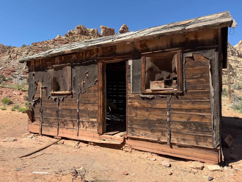
Take a trip back in time through a narrow slot canyon. Stove Gulch within the San Rafael Swell Recreation Area is a beautiful 4x4 experience. The trail winds through a narrow redrock-walled canyon leading to an old settler cabin before a dead end at the Price River. The trail is intended for slightly modified to capable stock 4x4s, but everyone will love it. The drops and descents into the wash are steep and very off-camber. The rocks in the wash are large, requiring careful tire placement to prevent high centering. To help preserve the integrity of this pristine canyon, please do not camp along the trail or drive off the trail up to the cabin. The trail ends at a turnaround near the very brushy Price River. Rockfall is common and may temporarily block the narrow canyon.

Utah: Wedge Cutoff Hero Photo
Scout Route Icon
3/5 (3 reviews)
Updated: 05/20/2026

Wedge Cutoff

Lawrence, Utah

Wedge Cutoff is a short gravel road shortcut from Green River Cutoff to the Wedge Overlook trail. It's a well-maintained gravel road with views of Cedar Mountain. Look for pronghorn hanging around the middle of the route, near the shallow reservoir and cattle crossing. No camping was found along the route.

Utah: Big Flat Hero Photo
Scout Route Icon
4/5 (1 reviews)
Updated: 10/15/2024

Big Flat

Woodside, Utah
For those looking to continue their overland journey across The Swell, Big Flat is a scenic and historic route that will be a welcomed alternative to the groomed gravel along the Green River Cut-Off. Early pioneers built a railroad through this rugged landscape. However, all signs of its existence have been eroded by nature. Sections of this route follow the old rail grade that powerlines have now replaced. The trail travels across wide-open meadows with picturesque views of Cedar Mountain. Deep washouts and mild rocky climbs will require 4x4 low-range gearing, high clearance, and durable off-road type tires.
Utah: East Mounds Road Hero Photo
Scout Route Icon
4/5 (1 reviews)
Updated: 10/15/2024

East Mounds Road

East Carbon, Utah

East Mounds Road is a picturesque backcountry road through a corner of this secluded desert region of Utah. While traveling along Highway 6, you can detour onto this enjoyable, maintained gravel road. The trail can be completed in 2WD when the conditions are dry. However, there is one bumpy crossing and soft sand crossing at the train trestle. This can be cautiously completed by all overland and camper van-type vehicles. Camping is limited to non-existent along this route. No established campsites with fire rings were found. Connecting the trail to Buried Forest and Price River Road makes for a leisurely scenic trail ride with an exciting hike in the middle.

Utah: Home Base Loop Hero Photo
Scout Route Icon
2/5 (1 reviews)
Updated: 01/02/2025

Home Base Loop

Moore, Utah

Home Base Loop traverses the high-elevation rolling hills deep within the San Rafael Swell. It is most frequented by wild burros, horses, and adventurous hikers. The trail accesses what is considered one of the more difficult slot canyon hikes in Utah, Crawford Draw to Eardley Canyon. In dry conditions, the entire 11-mile loop is passable in 2WD with high clearance. There are no obstacles, height restrictions, or narrow ledges. Washouts and deep ruts across the track are the only challenges. The trail drives down a broad grassy draw with sprawling meadow views and back up a similar draw. Limited camping was found along the trail, and the short spur trail included on the track is the unmarked drop-off and staging for the Crawford Draw hiking.

Utah: Summerville Cabins Alternate Hero Photo
Scout Route Icon
4/5 (2 reviews)
Updated: 03/24/2025

Summerville Cabins Alternate

Woodside, Utah
Providing a more challenging alternative to reach the Summerville Cabins, Saleratus is a shorter but more uncomfortable little trail. The majority of this route is packed and easy, but once you are about to reach the cabin, you will be in for a surprise. The narrowness of the tough section is unique, considering the surrounding trails' relative ease. Pushing through this challenge will provide you with a little bit of a rush just in time to reach the historical Summerville Cabins.
Utah: Calf Mesa Hero Photo
Scout Route Icon
4/5 (2 reviews)
Updated: 04/24/2026

Calf Mesa

Woodside, Utah
Considered an extension to Trail Spring, Calf Mesa is a short 4x4 loop to a scenic overlook on the edge of the San Rafael Swell. The trail has a few mild rocky challenges that require 4x4 and high clearance. Camping in this rugged landscape is minimal. A small area near the overlook has room for a tent of two. The most abundant camping is found along Green River Cutoff.
Utah: Cedar Overlook Hero Photo
Scout Route Icon
5/5 (1 reviews)
Updated: 01/14/2026

Cedar Overlook

Cleveland, Utah

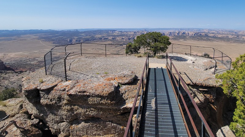
Bird's eye views of the San Rafael Swell from your campsite. Cedar Overlook, sometimes referred to as East Cedar Mountain, is an easy gravel road to the summit, where you'll find a day's worth of adventure. There are carefully constructed overlooks with steel walkways and fences on the edge of building-sized boulders. Shaded campsites and picnic tables are abundant before reaching the multiple radio and cell towers. Cell service is amazing. The trail becomes slightly rougher after the radio towers and ends at the airplane runway. The camping is primitive and free. Small individual campsites are tucked within the trees, and larger sites for RVs can be found along the main route. There is a vault-type toilet at the day-use picnic area. 

Utah: Baptist Draw Hero Photo
Scout Route Icon
4/5 (1 reviews)
Updated: 10/15/2024

Baptist Draw

Moore, Utah

Baptist Draw is a 5.5-mile spur off McKay Flats leading to a beautiful overlook at the edge of the Little Ocean Draw Wilderness. Although it is an easy journey over the packed dirt portions, the trail is rough in a few spots with loose and embedded rocks ranging in size up to about soft-ball size, so be sure to air down your tires. One patch of the trail has a small rocky rut cutting across, so take it slow. 4WD will not be necessary, but high clearance is recommended. At the trail's end lies impressive views of the surrounding Swell, including Temple Mountain, Behind the Reef, and even a distant view of the Henry Mountains. Dispersed camping is available in a few locations along the trail, as well as at the end, where a number of both small and large sites line the rim. The area offers no amenities, and the closest town is almost an hour away. Enjoy the solitude!

Utah: Big Hole Wash Hero Photo
Scout Route Icon
4/5 (1 reviews)
Updated: 10/15/2024

Big Hole Wash

Woodside, Utah

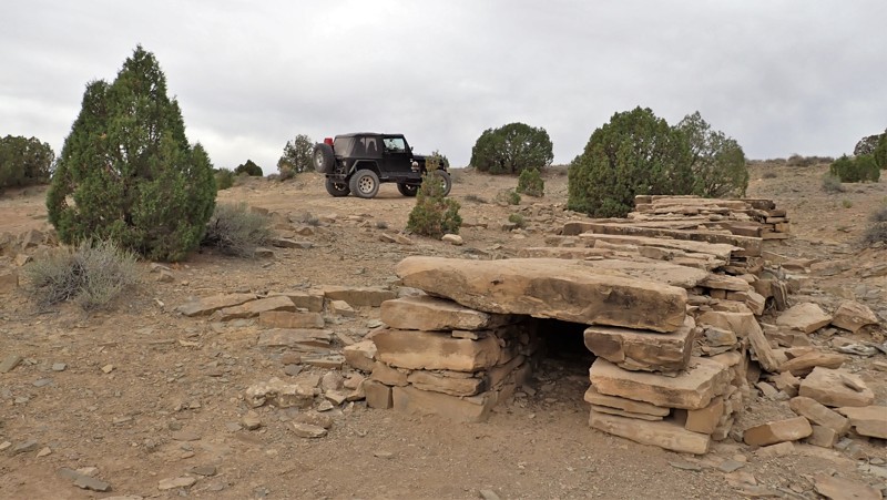
Continue your San Rafael 4x4 adventure with Big Hole Wash, a moderate 5-mile crossover. The trail has a few mild challenges for stock 4x4s. There are numerous deep washouts and one loose dirt hill. The trail has a couple of good-sized campsites with rock fire circles. Near the trail's eastern end is an old stone culvert left over from the Spirit Railroad that ran across the area over 140 years ago. The sandstone rocks are still standing in their original condition, but all the ground has washed away around them, creating a unique rock formation.

Utah: Box Flat Hero Photo
Scout Route Icon
5/5 (1 reviews)
Updated: 10/15/2024

Box Flat

Woodside, Utah

Traveling out and back to Box Flat feels like entering your remote private paradise. Once through the trees and over the numerous rock steps, you pop out onto a pristine prairie surrounded by scenic sandstone cliffs. The trail has a few early challenges that require you to take it slow in four-wheel drive and accept the bouncy ride. Located along the sandy two-track that circles Big Flat, there are a couple of small individual campsites and the trailhead for a remote hiking trail. The drive around the grassy meadow and between the sandstone buttes is scenic and peaceful.

Utah: Summerville Flats Hero Photo
Scout Route Icon
3/5 (1 reviews)
Updated: 10/15/2024

Summerville Flats

Woodside, Utah
An easy little jaunt, Summerville Flats runs you from the Spirit Railroad Complex over to Humbug Flats without backtracking to the Green River Cutoff. The Spirit Railroad Complex has a sign telling you about all of the old mining history in the area, and you can even see where the old train used to run. In fact, the hardest part of the trail is where you will turn off of the old railroad grade and descend while you tilt pretty heavily toward the driver's side. There are no major challenges, but this one may not be for you if you don't like off-camber.
Utah: Cow Canyon Overlook Hero Photo
Scout Route Icon
1/5 (1 reviews)
Updated: 10/15/2024

Cow Canyon Overlook

Woodside, Utah
This easy little trail gives you a glimpse of Cow Canyon and Buckhorn Wash. However, it ends up cutting you just a little bit short of right on the edge viewpoints. There is a camping option along this trail that will keep you away from the crowds. Be sure to take a little extra time and run these short spurs. You never know what you may find!