Region

The San Rafael Swell

Utah

Offroad Trails in The San Rafael Swell

A Region within Utah
4.3/5 (596)

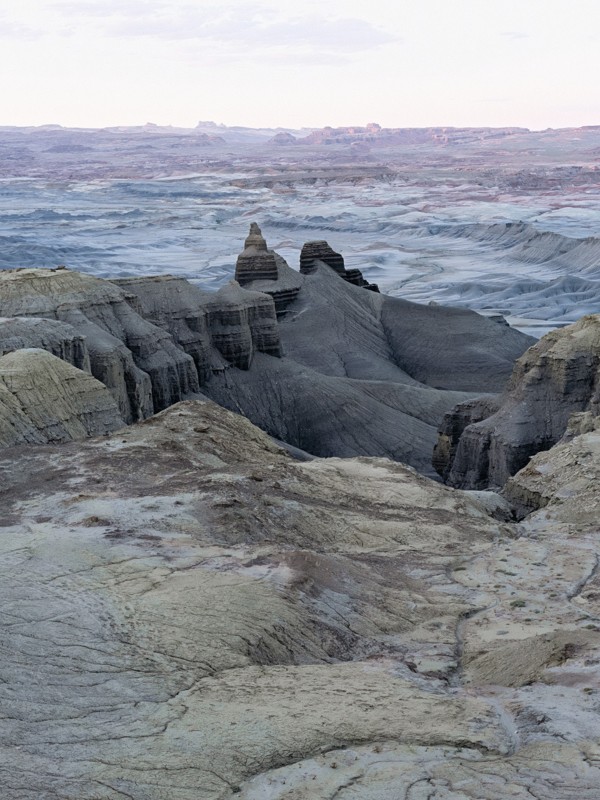
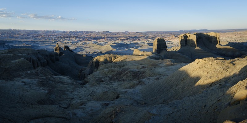
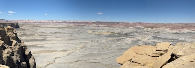
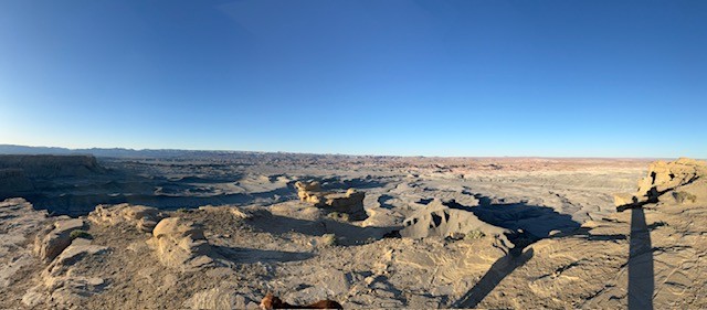
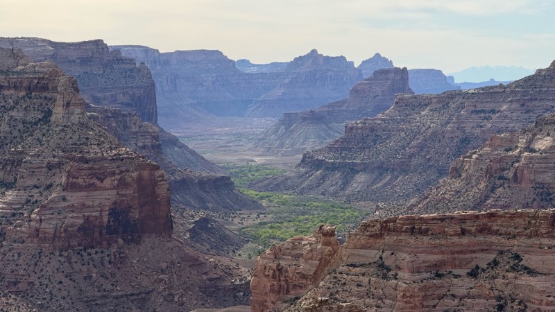
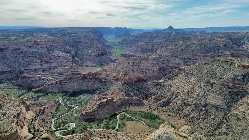
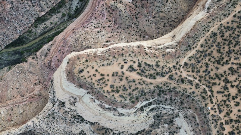
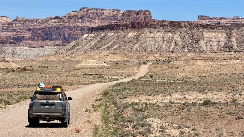
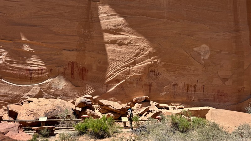
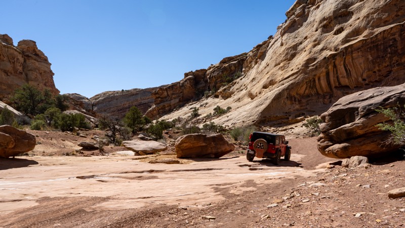
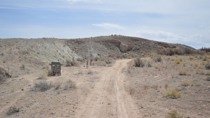
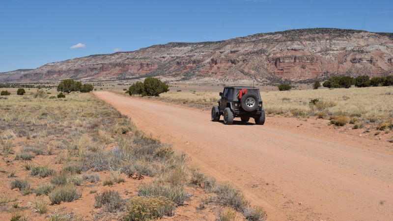
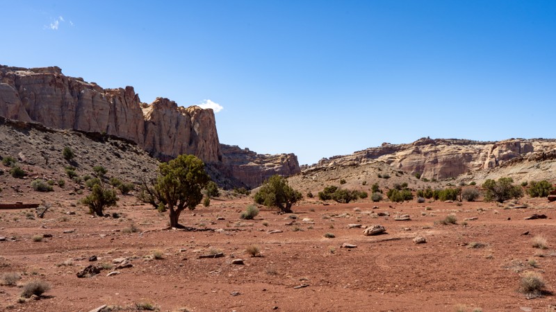
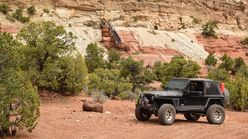
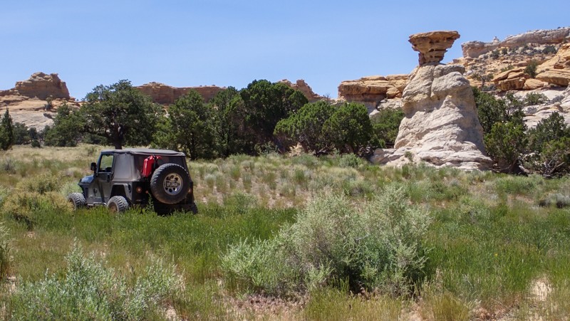
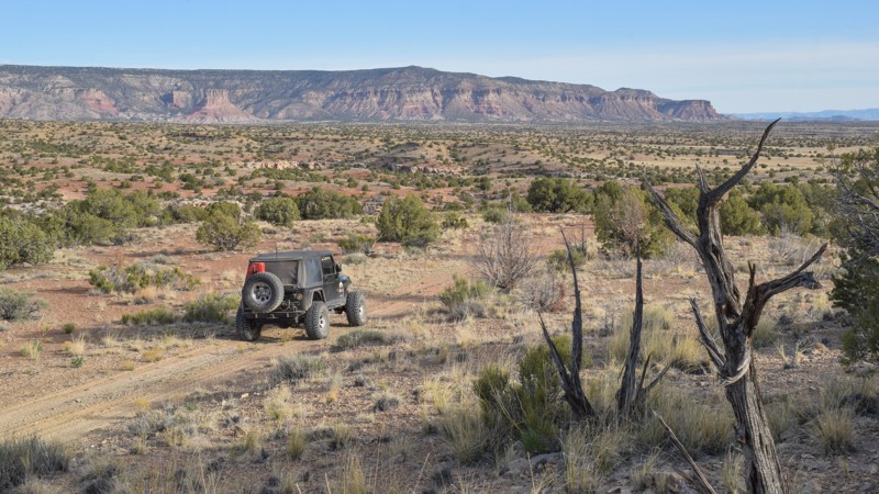
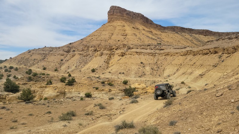
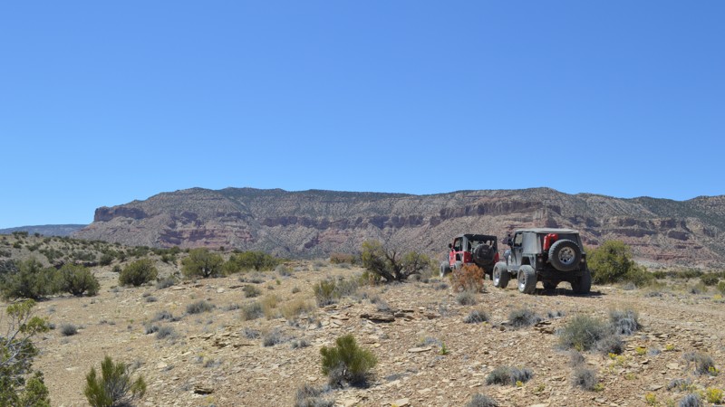
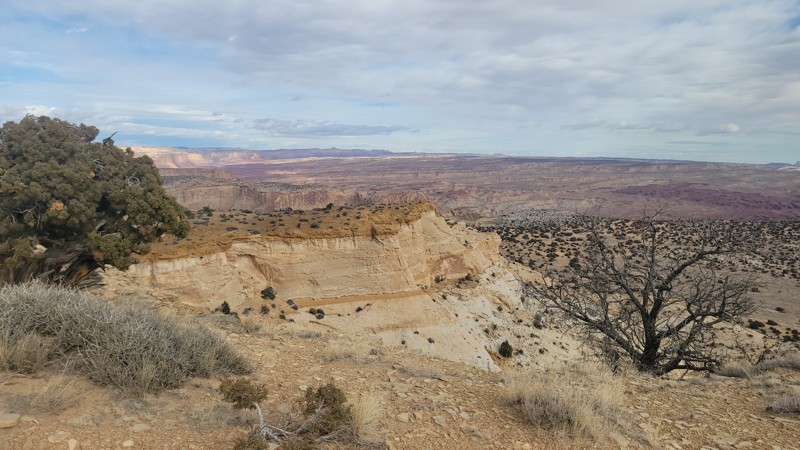
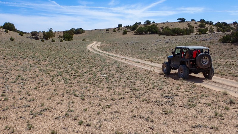
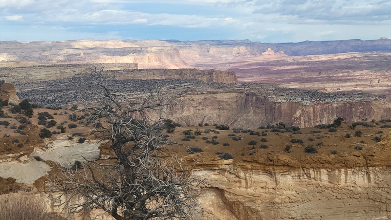
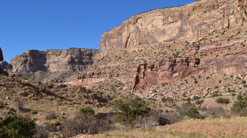
"The Swell," located in south-central Utah, is a geological upheaval that created a colorful desert landscape with towering buttes and narrow slot canyons.  Encompassing 900 square miles, San Rafael Swell is an outdoor paradise with abundant trails for all types of offroad enthusiasts.  There are numerous historical sites where you can get up close to America's best ancient Native American artwork or step into an old log cabin.  Buckhorn Draw and Black Dragon Wash trails travel into narrow slot canyons with designated sites for viewing the artwork. 

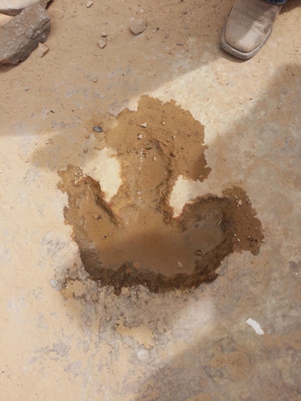
The trail system is vast and divided into two regions by Interstate 70.  The southern area trails are easier and less popular with the average weekend user.  Day trips can include stops at Goblin Valley State Park or squeezing your way through Crack Canyon and Chute Canyon hiking trails along the Behind The Reef trail.  The northern section includes the more difficult and famous 4x4 trails like Eagle Canyon, Devil's Racetrack, and Fix-it Pass; all three have breathtaking views and adrenaline-pumping rock-crawling obstacles.  The far northern region near Wellington, UT, includes an educational stop at Jurassic National Monument, a real-time dinosaur dig open to visitors. 

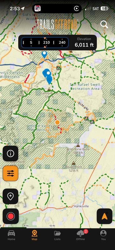
The winter months can be below freezing during the day, and summer temperatures can be over 100° in the shade.  The vast majority of the region is managed by the Bureau of Land Management, which allows camping up to 15 days.  Several areas are protected and designated as no camping; most of these sites are around ancient artwork sites.  Buckhorn Draw now has paid campsites along this very well-groomed scenic drive.  While other, more remote trails have that private campsite with a canyon view you've been searching for.  The Swell is remote, requiring planning, even for a day trip; venturing into this vast desert also requires a map system you can count on.  Preload the San Rafael regional trails offline before you begin your adventure.

Top Reasons to Explore Here

Basemaps
Go All-Access to Unlock


TRAILS OFFROAD™ TRAIL TYPES
Trail Guide
Full detailed write up with Advanced Rating System, Waypoints, Video, and more.
Scout Route
Lite version with highlights, camping, and hardest part documented. Vetted in person.
TRAIL DIFFICULTY RATINGS
easy (1-2)
Suitable for high clearance 2WD
moderate (3-4)
Best suited for a high clearance 4x4
difficult (5-6)
Best suited for a lightly modified 4x4
severe (7-8)
Best suited for a highly modified 4x4
extreme (9-10)
Best suited for specialized buggy type vehicles
LAYERS

Most Recent Trail Reviews

Most Popular

Search for Trails
Utah: Serpent Cross Hero Photo
Scout Route Icon
5/5 (2 reviews)
Updated: 10/15/2024

Serpent Cross

Moore, Utah

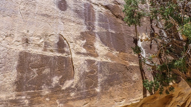
Native American rock art is abundant in the San Rafael Swell; large pictograph and petroglyph panels are the most popular destinations. The smaller sites are often overlooked and driven past. Serpent Cross falls into the latter category. This short, grassy two-track leads to an interesting piece of rock art, a long snake with a cross for a head. It's roughly six feet long, pecked into the sandstone cliff. The site is across the deep sandy trench at the end of the track. On a short spur trail, wonderful secluded camping is in the trees along the cliff. The trail mixes hard dirt and soft sand that may require 4x4 on hot days.

Utah: Baker Ranch Road Hero Photo
Scout Route Icon
4.5/5 (2 reviews)
Updated: 08/31/2026

Baker Ranch Road

Fremont, Utah

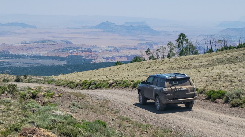
From the desert to the pines, this road gains 3,000 feet of elevation as it bridges the BLM lands of the San Rafael Swell and Fishlake National Forest. Baker Ranch Road travels easily along wide gravel ledges with dramatic views across the Rock Springs Bench and Cathedral Valley. Traction can be difficult when climbing the loose gravel and bumpy hill; a 4x4 is required to prevent washboards. Ranchers can be hauling big trailers, so use caution and slow down around blind turns. The trail is closed during winter months and is impassable in wet conditions. Camping was limited to a couple of small pull-off campsites with expansive views. The best camping in the area can be found at the western end of the trail, along Elkhorn Road.

Utah: Pack Saddle Flats Hero Photo
Scout Route Icon
4/5 (2 reviews)
Updated: 05/02/2025

Pack Saddle Flats

Woodside, Utah

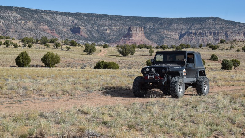
Quickly crossing miles of grassy prairie with Chimney Rock and Cedar Mountain as a backdrop, Pack Saddle connects Green River Cutoff with more remote trails within the San Rafael Recreation Area. Pack Saddle Flats is an overland adventure trail ideal for the back-country explorer trying to avoid gravel roads but not break anything. The trail has a couple of 4x4 challenges for stock or expedition-type vehicles. Camper vans or trucks with camper tops are not advised. The southern portion of the trail is the most difficult. One loose rock hill climb with a step at the very top requires extra ground clearance and a bump. This obstacle is going up when traveling north to south. After that point, the trail becomes narrow, around trees and along the edge of a cliff, wide enough for most standard 4x4s but not full-sized trucks and vans. The route has no established campsites.

Utah: Wild Horse Canyon Camp Spur Hero Photo
Scout Route Icon
4/5 (1 reviews)
Updated: 02/04/2025

Wild Horse Canyon Camp Spur

Hanksville, Utah

The first of many camp spurs, Wild Horse Canyon Camp Spur offers numerous opportunities to set up for the night and enjoy the serenity of the San Rafael Swell. This easy, packed dirt trail travels just 1 mile and dead-ends at one of the many popular slot canyon hikes within the "reef." Along this short trail lie endless options for setting up camp, ranging in size from single-vehicle to large groups and even RVs and trailers. The further back you go, the more likely you are to be alone. Just keep in mind that hikers are frequent in the area!

Utah: Summerville Cabins Hero Photo
Scout Route Icon
4/5 (3 reviews)
Updated: 03/24/2025

Summerville Cabins

Woodside, Utah

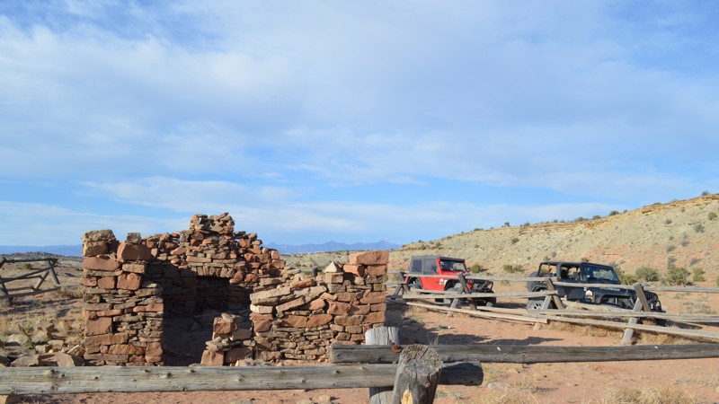
Dating back before the times of the Spirit Railway in the San Rafael Swell, these stone cabins are a sight to see. Still standing high in their original form, one can step inside and feel what it would have been like to live back in this era. This easy little jaunt will make a wonderful addition to an already packed weekend exploring the incredible sights that this area of the Swell has to offer.

Utah: Yellow Seep Hero Photo
Scout Route Icon
3/5 (1 reviews)
Updated: 01/02/2025

Yellow Seep

Clawson, Utah
This is a mild route that forks off of the North Fork of Coal Wash. It is an out and back to an area with a seep and a bunch of trees driving over a bit of sand, then packed dirt and embedded shale-type rock. There is minimal elevation gain over the trail's 2.5 miles, and it is suitable for any high clearance vehicle. The views are quite nice considering you are higher in elevation than your surroundings.
Utah: Box Flat Road Hero Photo
Scout Route Icon
3/5 (1 reviews)
Updated: 10/15/2024

Box Flat Road

Woodside, Utah

Box Flat Road is your easy gateway to the sprawling meadows and hidden canyons tucked back on the surrounding 4x4 trails. Box Flat is a remote central San Rafael Swell region with less human traffic. The trail is a well-maintained gravel road easily traveled in passenger cars equipped with durable tires. There's no established campsite along the road. However, venturing onto one of the many connecting 4x4 trails will reward you with private and remote camping.

Utah: SS4295 Hero Photo
Scout Route Icon
4/5 (1 reviews)
Updated: 02/04/2025

SS4295

Hanksville, Utah

SS4295 is a popular camping spur off the even more popular Behind the Reef Road. This trail offers numerous opportunities to pitch a tent under the incredibly dark sky that central Utah is known for. Many sites are large enough to accommodate big groups, including RVs and trailers, if you decide to bring them back this far on Behind the Reef Road. This trail is no more difficult than the trail to get here, that is until you reach the end. Packed dirt and frequent use keep this trail relatively smooth for the majority. Just before the trail terminates at another campsite, there is a large patch of embedded rock. Although the route through the rock is still 2WD friendly, high clearance is definitely necessary to reach the end.

Utah: Uranium Mine Hero Photo
Scout Route Icon
3/5 (1 reviews)
Updated: 10/15/2024

Uranium Mine

Moore, Utah

A short detour off Family Butte Road leads to what was likely a decommissioned uranium mine. The trail leading to the turnaround area is a moderate two-track with mild washouts that require high clearance. The site has a hiking trail leading up to the old flume and the closed-off tunnels. Please leave the site as you found it. The site is for day use only; please do not camp at the old mine.

Utah: Warrior Cabin Hero Photo
Scout Route Icon
3/5 (1 reviews)
Updated: 10/15/2024

Warrior Cabin

Moore, Utah

We've all said while on the trail, "I could live here." Hidden behind a sandstone butte are the fallen remains of Warrior Cabin, an unknown homestead that once stood here. Named after the nearby Lone Warrior rock art site, this short sandy two-track leads out and back to an old wooden cabin slowly disappearing into the ground. Taking your time and walking around the site, you might catch yourself thinking about it. Please stay on the designated track. The trail is soft sand and tall grass with hidden bumpy ruts. Short dead-end spurs lead up to the cliffs where small primitive campsites can be found. There is room for one to two vehicles with tents at each site.

Utah: Horse Heaven Hero Photo
Scout Route Icon
2/5 (2 reviews)
Updated: 05/02/2025

Horse Heaven

Woodside, Utah

Although you're more likely to see pronghorn, Horse Heaven was named for the meadows and shady canyons horses once populated. Horse Heaven is a moderate 4x4 trail connecting different San Rafael Recreation Area regions. The trail has mild hills with loose dirt and rocks that may require 4x4. The trail twists through desert scrub brush and across rocky washes that require high clearance and durable tires. Connecting with Cottonwood to the Big Flat area creates an enjoyable back-country overland route. The route has no established campsites.

Utah: Lockhart Wash Hero Photo
Scout Route Icon
2/5 (1 reviews)
Updated: 06/15/2025

Lockhart Wash

Green River, Utah

Deep within the San Rafael Swell region lies the Mexican Hat Wilderness, where access is limited to foot traffic. However, one trail, Lockhart Wash, offers an easement, allowing motorized travel into the wilderness before reaching the San Rafael River. The trail once traveled to the river edge, but now erosion has closed the final mile to the river. The trail has one nice camping area with distant views of the sandstone cliffs to the north. There is room for a couple of vehicles with tents. The route becomes rougher the further you travel. It's a bumpy two-track, without obstacles, and passable in high-clearance stock 4x4s. It is imperative that users remain on the established trail, as both sides of the road are wilderness.

Utah: Long Point Cabin Hero Photo
Scout Route Icon
4/5 (2 reviews)
Updated: 10/15/2024

Long Point Cabin

Woodside, Utah
In a lesser-known portion of the San Rafael Swell lies history waiting to be explored. Cabins are scattered throughout. Many are easy to drive to. Lying along a looping trail, it would be easy to miss this Long Point Cabin, so be on the lookout. This trail is a bit bumpier than most around here, so high clearance will be required to complete this loop.
Utah: Seger's Hole Hero Photo
Scout Route Icon
4/5 (2 reviews)
Updated: 02/02/2026

Seger's Hole

Whipup, Utah

Easily traveling to an amazing overlook of Seger's Hole, with multiple cliffside campsites, this remote trail is a wonderful addition for the adventurous traveler. Combined with Cedar Mountain, Seger's Hole offers an accessible viewpoint over the San Rafael Swell. The 360° views of the rugged landscape from the edge of the upheaval are truly unique. Camping is available at the eastern end, along the rim. It can be very windy on the rim, especially during springtime. In dry conditions, the entire route can be completed in 2WD.

Utah: Wedge Pond Hero Photo
Scout Route Icon
2/5 (1 reviews)
Updated: 02/04/2025

Wedge Pond

Castle Dale, Utah

Wedge Pond is a short 1.8-mile connector trail to access primitive camping and the North Salt Wash Point trail. The trail is a mix of small rock ledges and dusty two-track traveling across desert prairie land. The trail can be completed in high clearance 4x4s with durable offroad-type tires. Tall camper vans will not have height or width issues. Camping is found at the eastern trailhead and is usually occupied by large RVs and groups. There are no services or running water in the immediate area.

Utah: Grassy Creek Hero Photo
Scout Route Icon
4/5 (1 reviews)
Updated: 10/15/2024

Grassy Creek

Woodside, Utah

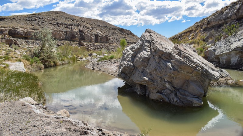
After visiting the Grassy Creek Petroglyphs, your adventure continues through a canyon with a mine site with cabins, an old railroad line, and a natural spring oasis. Grassy Creek winds along the eastern edge of the San Rafael Swell, where water is extremely rare during the summer months. After stopping at the log cabins, continue following the old railroad track mound to the hidden oasis. Large boulders in the creek mark where the mineralized water leaches from the cliffs. You will need 4x4 high-clearance and durable offroad tires to travel the entire trail. Consider that the Grassy Hills trail is considered hazardous, so you might consider an out-and-back on this one. No camping was found along this route.

Utah: Moroni Slopes Hero Photo
Scout Route Icon
4/5 (1 reviews)
Updated: 02/02/2026

Moroni Slopes

Caineville, Utah

Moroni Slopes, part of a dramatic upheaval, leads to a vertical drop into a labyrinth of canyons within the San Rafael Swell. The landscape appears barren and flat as you drive up the slope; only distant monuments are poking up from the scrub brush. The trail is comprised of hard-packed dirt and rock, allowing for higher speeds over the cobblestones, or you'll have to take it slow and enjoy the views. The camping at the eastern end, along the cliff, is amazing. The ground is level, there are rock fire pits, and breathtaking sunrises.

Utah: Calf Canyon Hero Photo
Scout Route Icon
4/5 (1 reviews)
Updated: 09/29/2025

Calf Canyon

Lawrence, Utah

A hidden gem in the San Rafael Swell, Calf Canyon sees little use, but don't let that deter you from what this trail has to offer. Lying just off Buckhorn Draw Road, this little canyon provides incredible isolated camping, stunning views, and access to world-class rock climbing. Although it is an easy trail, high clearance is needed due to the unmaintained wash crossing and a sandy and bumpy rock surface just before reaching the end. Dispersed camping is available at the trails end around the rock climbing areas. If you are looking for improved camping, Swinging Bridge Campground is just south on Buckhorn Wash and offers pit toilets, fire rings, and picnic tables in designated sites.


Utah: Neversweat Wash West Fork Hero Photo
Scout Route Icon
4/5 (1 reviews)
Updated: 10/15/2024

Neversweat Wash West Fork

Woodside, Utah
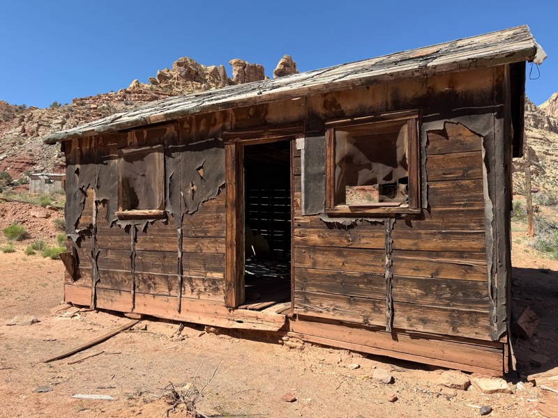
This brief little spur winds you through a little wash before ending at an intersection with great views. Although not technically challenging, there will be a few sections that will test your flex, so 4WD and good suspension are required. Camping is not abundant, but there are a few small options and one of decent size.
Utah: Verde Loop Hero Photo
Scout Route Icon
3/5 (1 reviews)
Updated: 10/15/2024

Verde Loop

East Carbon, Utah

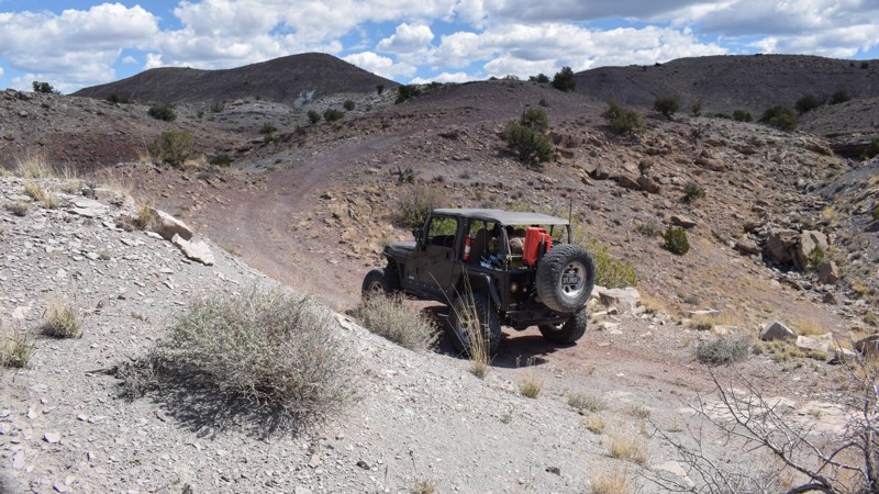
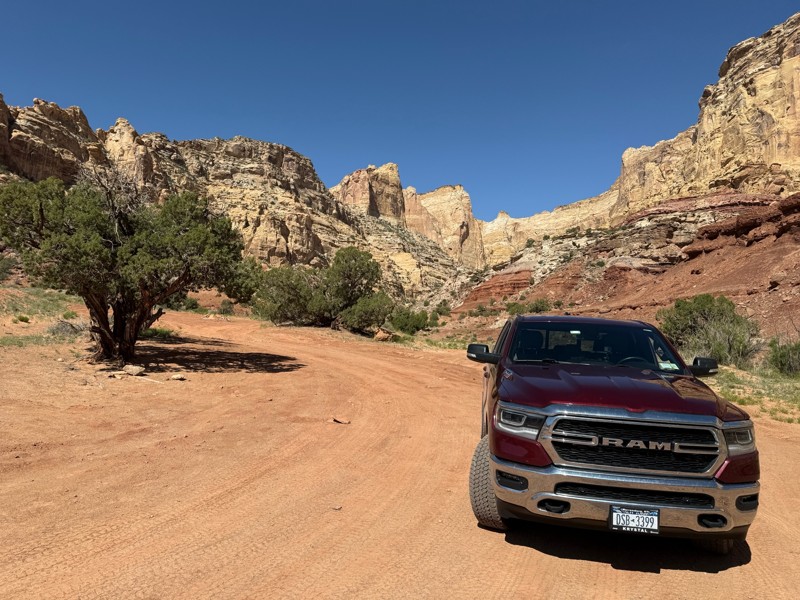
Climbing and descending over 500 feet, Verde Loop offers stunning views of the Book Cliffs and the foothills of the San Rafael Swell. On the northeastern edge of The Swell, the trail twists its way up and around rolling hills, with mild challenges for stock-type 4x4s. The trail is a mix of dirt and short, bumpy rock sections. A couple of deep washout obstacles require suspension flex for traction. While no established campsites were found along the route, the ease of access, scenery, ground conditions, and privacy are motivators to create a temporary site along the trail for the night. The trail is impassable in wet conditions.

Utah: E South Sand Bench Spur Hero Photo
All-Access Icon
1/5 (2 reviews)
Updated: 06/05/2022

E South Sand Bench Spur

Ferron, Utah
This trail is a quick and easy short cut for E South Sand Bench Loop. Along the trail, you will find a cluster of large boulders standing out from the otherwise barren scenery, giving you the feeling of being on another planet. Other than this strange crop of rocks, this trail offers plenty of isolation, as it is seldom used compared to other popular trails in the area. This would be a great area providing a secluded basecamp for a weekend adventure in the San Rafael Swell.
Utah: Sid and Charley Hero Photo
Scout Route Icon
5/5 (1 reviews)
Updated: 10/15/2024

Sid and Charley

Moore, Utah

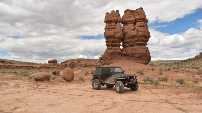
The not-so-famous twin spires, Sid and Charley, stand tall and are tucked 4 miles back in the desert. It's a quick and easy dead-end drive back to this photogenic pair of spires named after the local Swasey brothers; you know, Swasey's Cabin. The trail is rough dirt with rut washouts that bottom out suspension. You can drive up to the spires for pictures, continue a stone's throw away to camping near the cliffs and the petroglyphs, and then onto the end, where there is hiking to more petroglyphs hidden in the canyon. The level dirt area allows several vehicles with tents to hide from the wind below the cliffs, but the site does have moderate OHV and hiking traffic.

Utah: South Willow Springs Wash Hero Photo
Scout Route Icon
4/5 (1 reviews)
Updated: 01/07/2026

South Willow Springs Wash

Moore, Utah

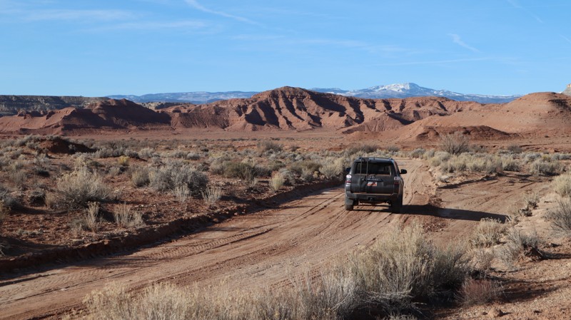
Traveling over 13 miles along the western rim of The Swell, South Willow Springs Wash is a semi-graded sandy road with contrasting views of the surrounding landscape. The distant snow-capped peaks and the colorful sandstone cliffs create a unique Utah driving experience. The track is a mix of soft sand and graded rock, with the occasional rough wash crossing. Concerns along this trail include softer sections of sand that may require 4-wheel drive, and a couple of large washes that may become rough after a rainstorm. Camping is limited to the northern trailhead, where one pull-off campsite can be found near the I-70 trailhead.

Utah: Grassy Hills Hero Photo
Scout Route Icon
1/5 (1 reviews)
Updated: 10/15/2024

Grassy Hills

Woodside, Utah

To complete the Grassy network of trails, you'll need nerves of steel or extra time to clear rocks off the narrow ledge you must drive along. While the trail is scenic and creates a nice loop from the Grassy Creek Petroglyphs, one short section is very hazardous as you navigate a hill. Small round lava rocks continually fall from above and accumulate on the narrow ledge. You feel like you're driving on ball bearings, and you don't realize it until it's too late; you must keep moving unless you want to kick several hundred rocks off the edge. No camping was found along the route.