Region

Moab

Utah

Offroad Trails in Moab

A Region within Utah
4.5/5 (2931)

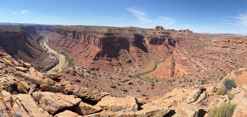
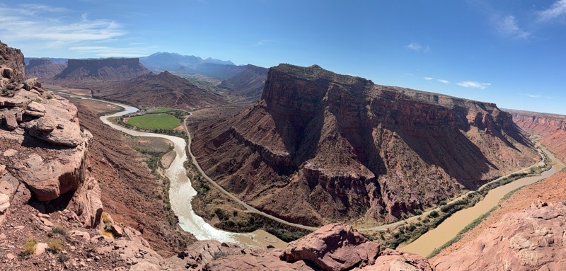
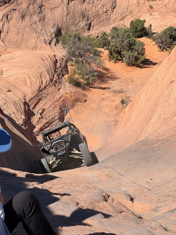
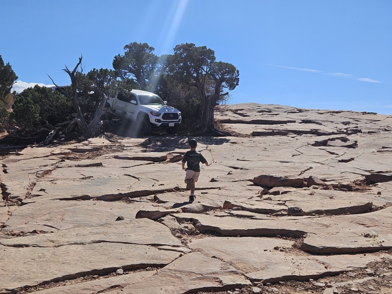
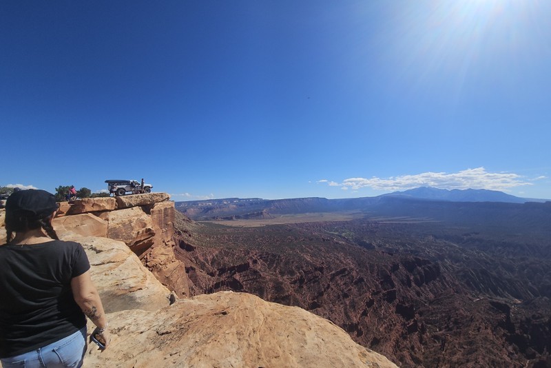
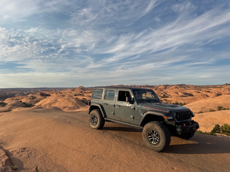
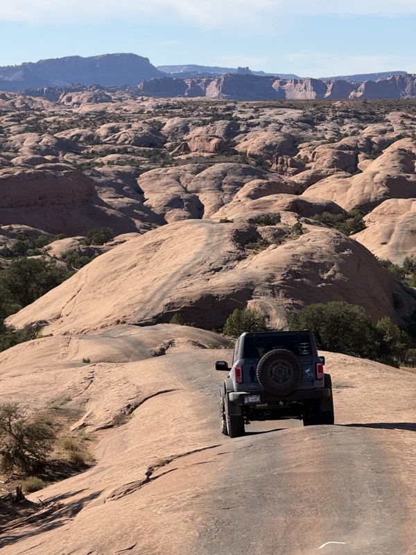
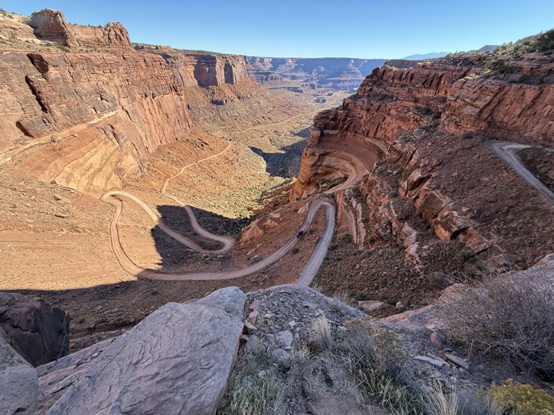
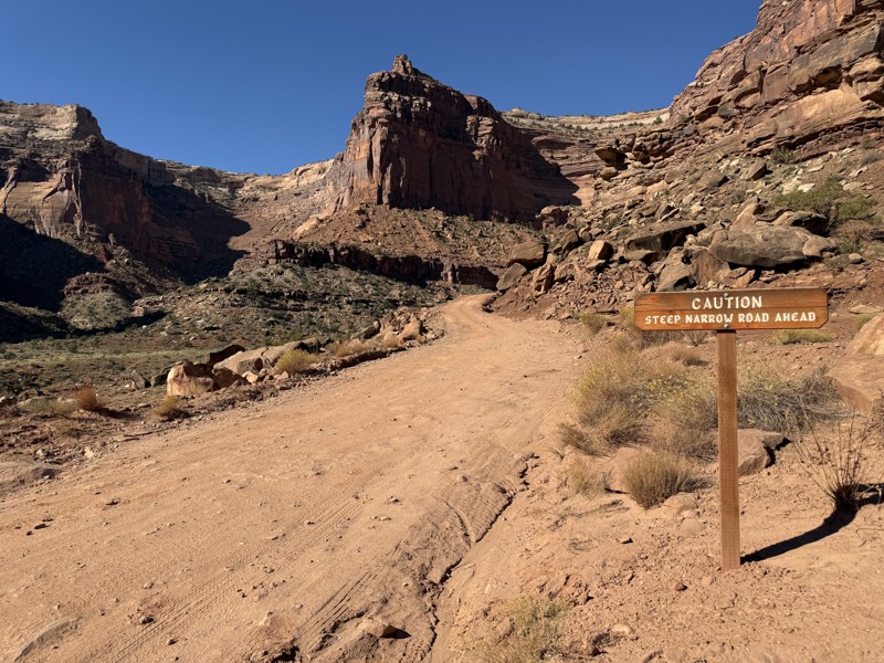
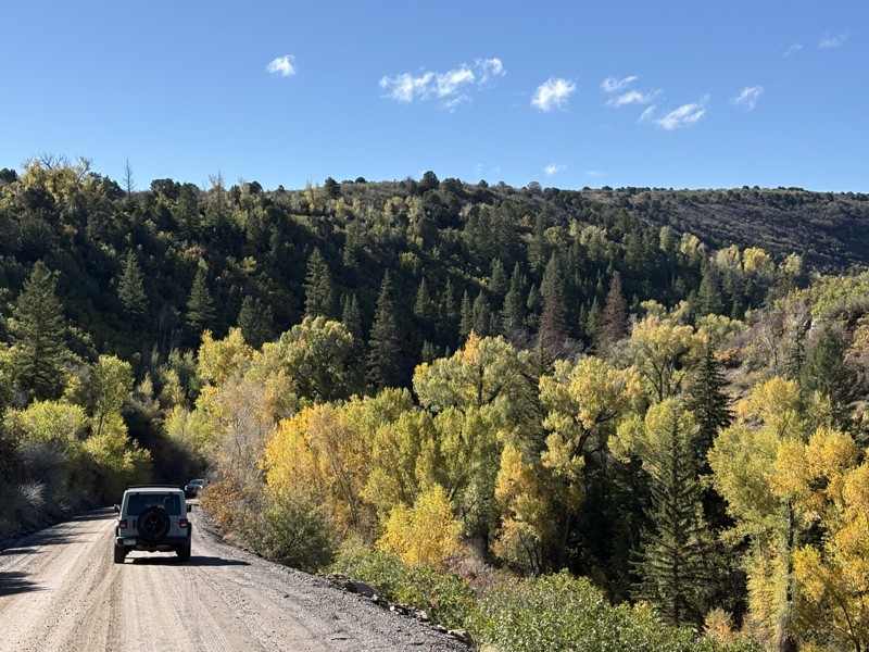
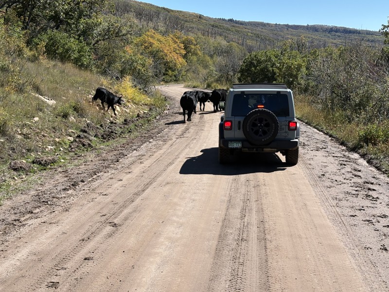
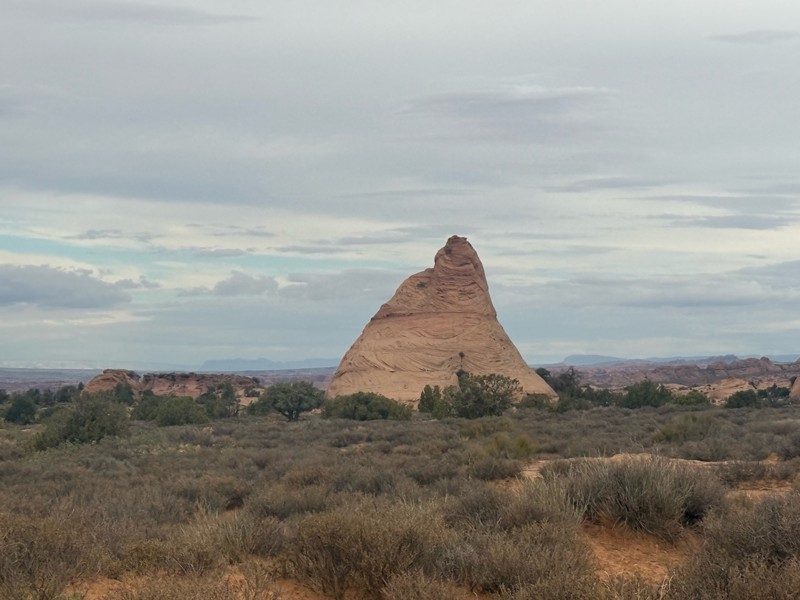
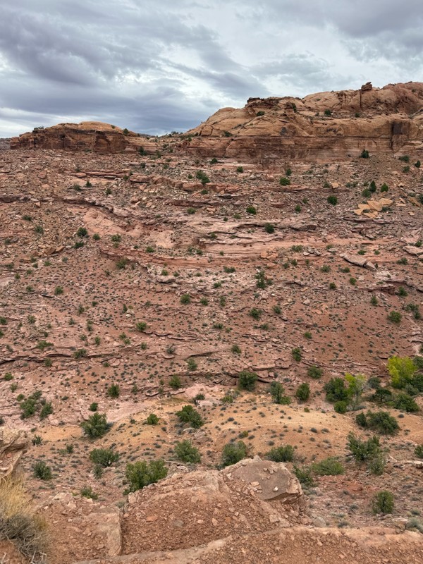
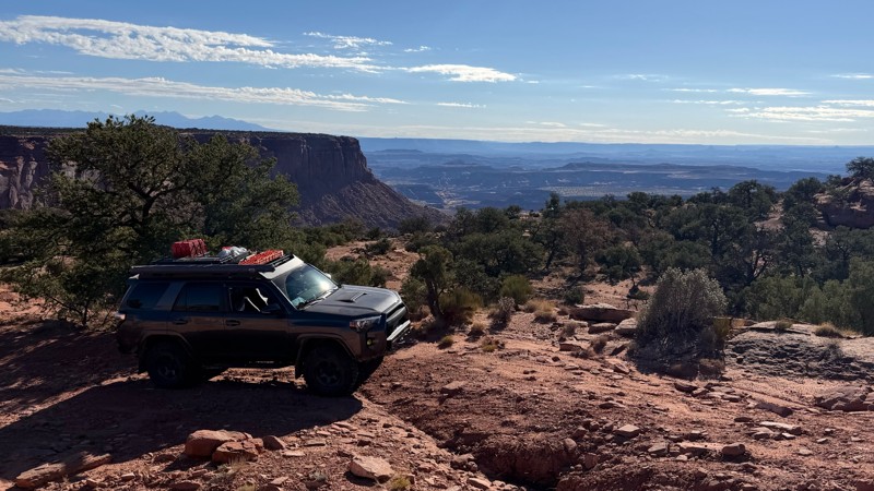
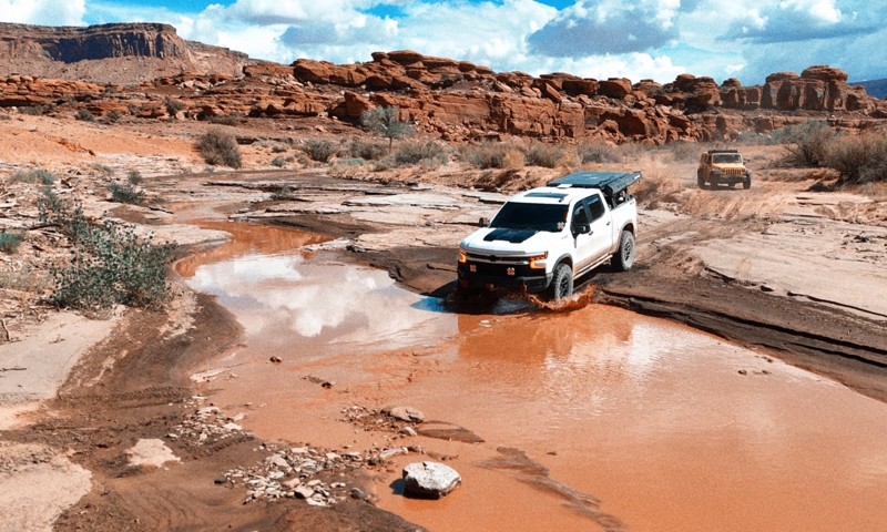
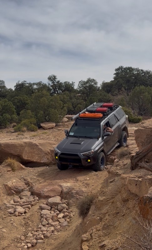
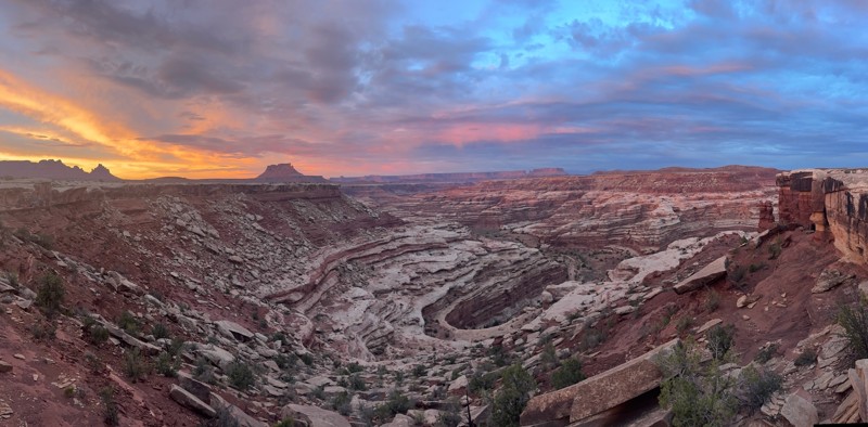
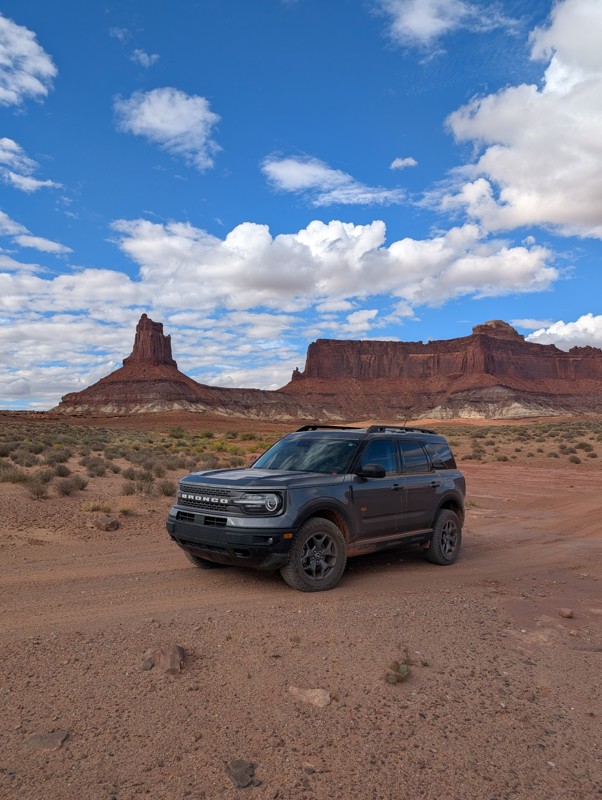
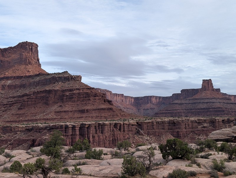
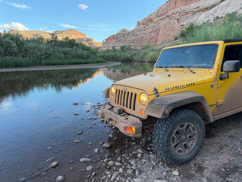
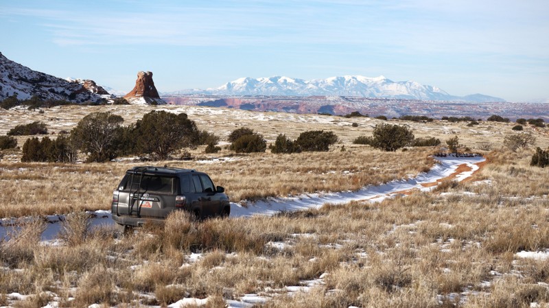
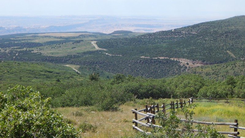
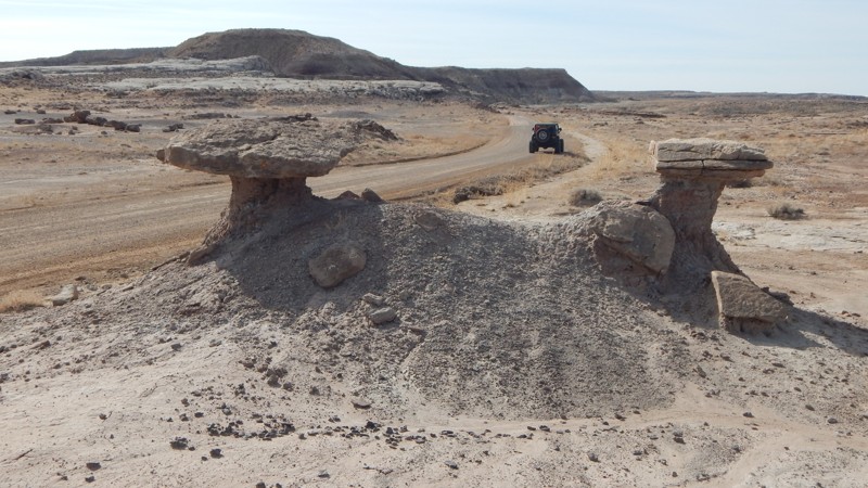
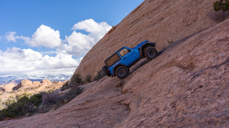
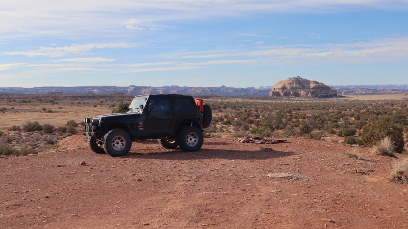
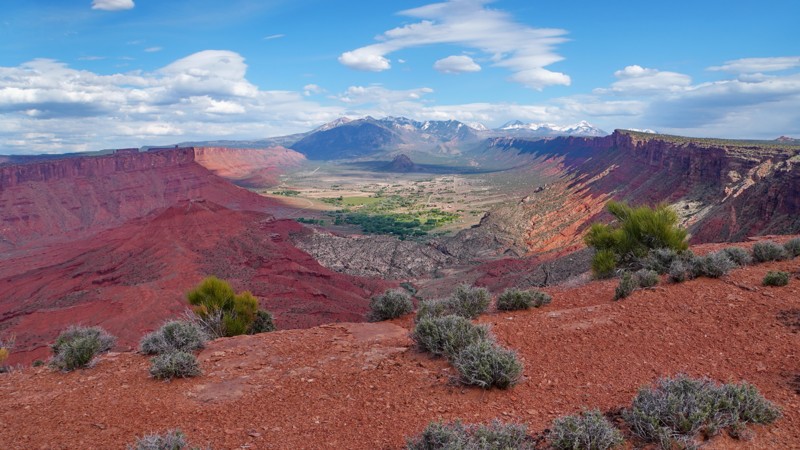
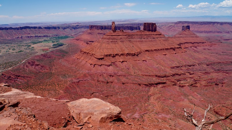
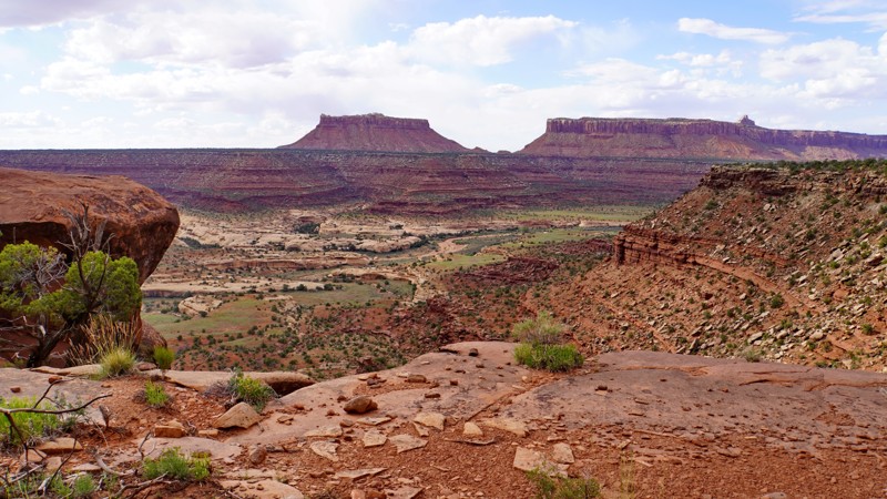
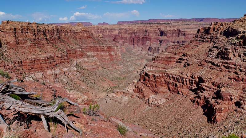
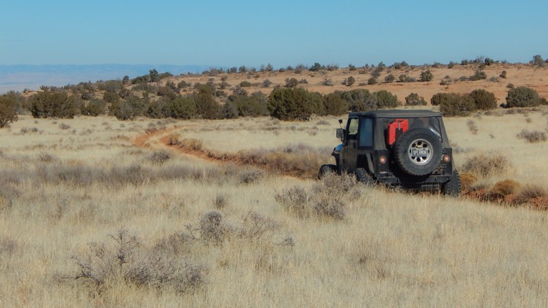
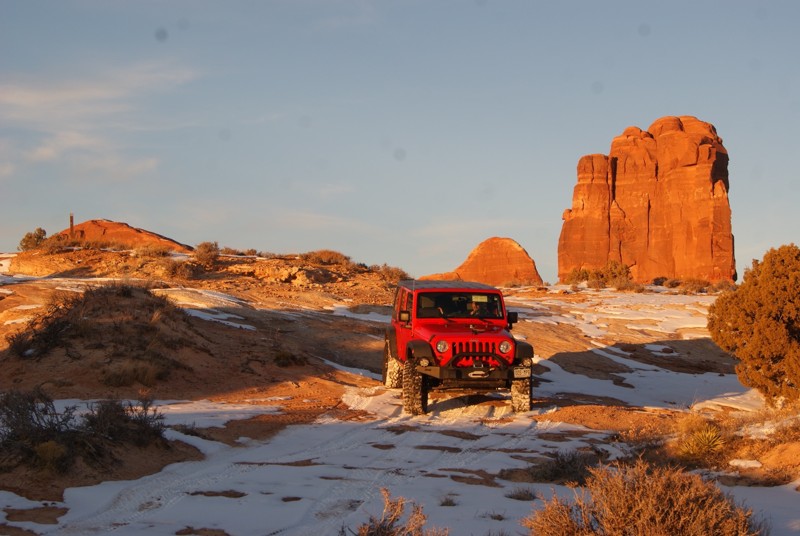
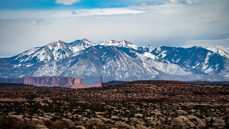
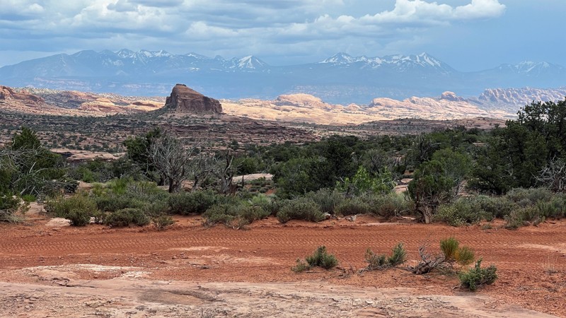
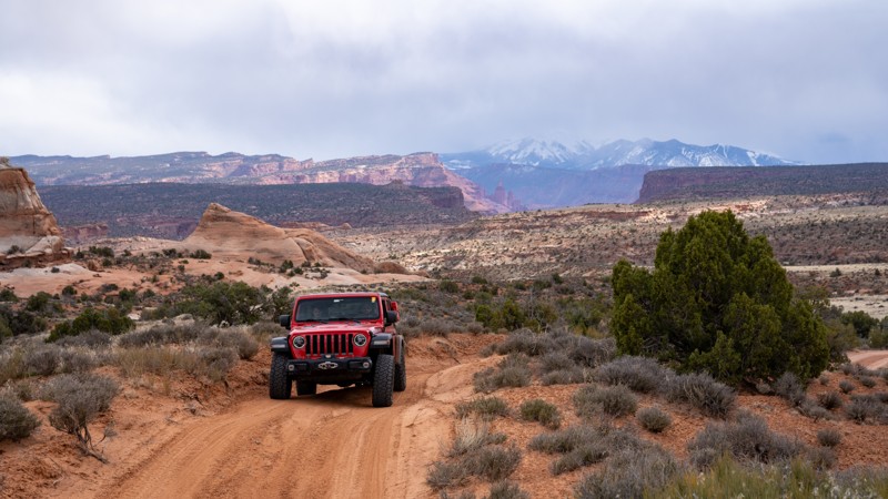
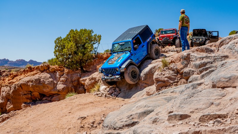
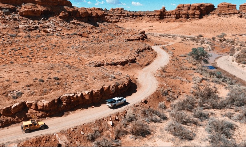
Moab, Utah, is renowned worldwide as a premier destination for offroad enthusiasts. Nestled in the heart of the American Southwest, Moab offers a diverse array of trails that cater to all skill levels. Whether it's an overland or rock crawling adventure you are looking for, this stunning red rock landscape offers 100s of open roads and trails that range from easy to extreme. The area spans over 103,000 square miles and includes lands managed by the Bureau of Land Management, The Manti-La Sal National Forest, Utah State Trust Land, Arches and Canyonlands National Parks, and the Sand Flats Recreation Area.

While the most well-known trails, such as Hell’s Revenge, Fins and Things, Poison Spyder, The White Rim Trail, and the Rimrocker, are typically the main attractions, the area is home to plenty of hidden gems worth exploring.

While visiting and riding the trails, enjoy Arches and Canyonlands National Parks to round out your trip. Plan accordingly because Arches now has a timed entry system from April through November, where you need a permit to enter. It is also important to know that summers can have extreme heat with monsoons, and even though it is a high-plain desert, it can snow in the winter months.

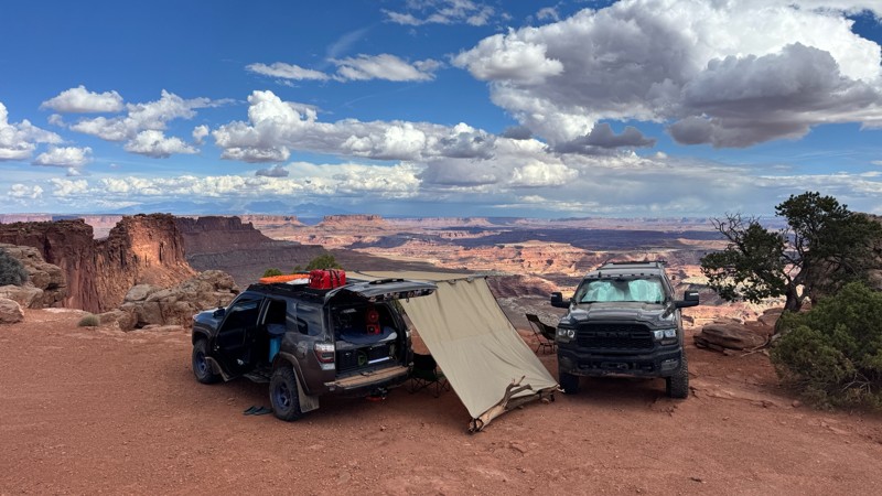
Dispersed camping is limited and only available in designated areas. Each Trails Offroad trail guide lists the various camping opportunities, including BLM’s designated campsites. BLM also manages several campgrounds with vault toilets and picnic tables. Within the town of Moab, you can find various lodging and dining opportunities and repair and maintenance services for your vehicle.

Top Reasons to Explore Here

Basemaps
Go All-Access to Unlock


TRAILS OFFROAD™ TRAIL TYPES
Trail Guide
Full detailed write up with Advanced Rating System, Waypoints, Video, and more.
Scout Route
Lite version with highlights, camping, and hardest part documented. Vetted in person.
TRAIL DIFFICULTY RATINGS
easy (1-2)
Suitable for high clearance 2WD
moderate (3-4)
Best suited for a high clearance 4x4
difficult (5-6)
Best suited for a lightly modified 4x4
severe (7-8)
Best suited for a highly modified 4x4
extreme (9-10)
Best suited for specialized buggy type vehicles
LAYERS

Most Recent Trail Reviews

Most Popular

Search for Trails
Utah: Rough Canyon Rim Hero Photo
All-Access Icon
3.3/5 (3 reviews)
Updated: 02/24/2026

Rough Canyon Rim

Moab, Utah

Rough Canyon Rim traverses out and back to the edge of Canyonlands National Park, the boundary for the Island in the Sky district and the Green River labyrinth. The trail's name comes from Rough Canyon to the south, but it adequately describes the driving experience. The first half of the route is quite scenic with mild terrain, while the second half is more challenging and less scenic. The trail wraps around the north side of a large sandstone dome known as Whitbeck Rock, while Beehive Butte is likely to catch your eye in the distance to the west. You’ll trek across grassy prairies with the occasional juniper tree, eventually descending down toward the park boundary fence. The trail ends at the park boundary, where vehicle access stops. The hike to the rim above Taylor Canyon on the now-closed trail is over 1.2 miles. 

Utah: Geyser Pass Hero Photo
Scout Route Icon
2/5 (3 reviews)
Updated: 05/20/2026

Geyser Pass

La Sal, Utah

Quickly climbing into the La Sal Mountains, Geyser Pass is a quick way to escape the summer heat. This easy 7.8-mile gravel road zigzags up switchbacks before ending in the pine trees at over 10,000 feet at Geyser Pass. The trail can be completed in 2WD and passenger cars in dry conditions. While climbing up, multiple pull-off-type dispersed campsites have expansive views across the desert below. Connecting with Dry Canyon Lake and La Sal Pass trails creates a wonderful 4x4 day run into the mountains.

Utah: Escalator Hero Photo
Scout Route Icon
5/5 (2 reviews)
Updated: 10/09/2025

Escalator

Moab, Utah

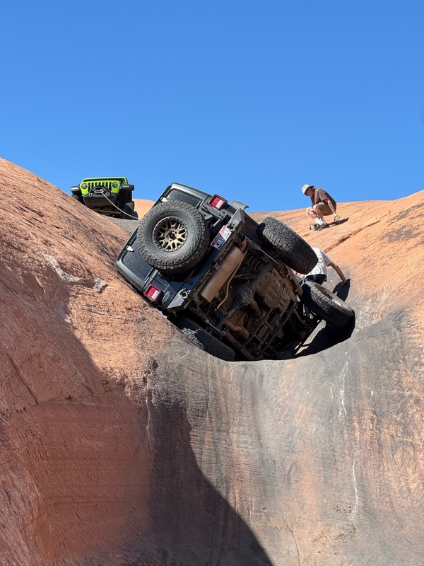
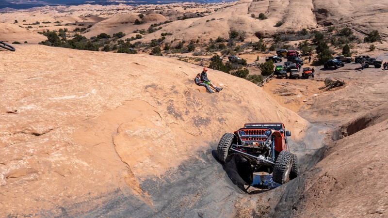
Escalator is a famous and very challenging optional route along the southwest end of Hell's Revenge Trail. As the name implies, Escalator is an extremely steep slickrock climb that makes its way through a series of deep potholes, each higher on the hill than the previous. This trail is extremely off-camber and leans your vehicle to such extreme angles that it is common to see vehicles blowing white smoke out of the tailpipe due to oil burning in the manifold.

This obstacle requires perfect tire placement. Just an inch offline can be the difference between conquering the obstacle or flopping your vehicle on its side.

Escalator is only recommended for experienced off-road enthusiasts with well-equipped off-road vehicles. Lockers are required, and a winch is recommended in case of recovery. Vehicles with hard tops are not recommended due to the extreme angles and the high risk of top damage.

Utah: Ruby Ranch Road Hero Photo
All-Access Icon
3.9/5 (8 reviews)
Updated: 03/04/2024

Ruby Ranch Road

Green River, Utah

Quickly traveling from the busy interstate, Ruby Ranch Road is your northern gateway into the unique desert landscape and network of trails leading south to Moab, Utah. Whether you're going to the dunes for the day or staying for a couple of weeks, Ruby Ranch has abundant free camping for groups or solo explorers looking for a spot to set up basecamp. With easy access to the small town of Green River, it's convenient, the area is less crowded, and the extensive trail network will keep you busy for days.

Utah: Hell's Alternate Hero Photo
Scout Route Icon
5/5 (1 reviews)
Updated: 02/16/2026

Hell's Alternate

Moab, Utah

Hell's Alternate, a designated route within Sand Flats Recreation Area, bypasses the two large fins along the first mile of the main Hell's Revenge 4x4 Trail. This trail is primarily used by search and rescue but is open to public travel. Hell's Alternate offers unique scenery and one minor, optional challenge, a short hill climb with a sharp 31-degree angle. Hell's Alternate crosses Hell's Revenge at the one-mile mark and continues to a viewpoint along the edge of Abyss Canyon before finally rejoining Hell's Revenge just before the Staircase Bypass.

This trail is suitable for any stock, high clearance 4x4.

Utah: Big Draw Trail Hero Photo
All-Access Icon
3/5 (5 reviews)
Updated: 02/24/2026

Big Draw Trail

Moab, Utah

Abundant scenic camping is the main attraction of this trail. Big Draw Road, named after the nearby Big Draw Wash that flows into Taylor Canyon, travels across scenic desert to the edge of Canyonlands National Park. The trail takes you through several desert terrains, where you'll traverse sand, dirt, and slow, bumpy rock surfaces. Along the way, you'll view Beehive Butte, a sandstone rock that looks like the state symbol for Utah. Not heavily traveled, Big Draw Road can be a nice escape from the crowds typically found on other Moab trails.

Utah: Mat Martin Point Hero Photo
Scout Route Icon
4.5/5 (2 reviews)
Updated: 06/20/2025

Mat Martin Point

Castle Valley, Utah

Mat Martin Point is one of the most scenic yet obscure and rarely visited Jeep trails in Moab. It starts at an intersection where the Porcupine Rim safari trail ends and a mountain bike trail continues west. Mat Martin Point heads north and leads to five different branches and overlooks of Castle Valley. Most people who drive Porcupine Rim either don't realize this is a legal trail or are so worn out from its relentless bumps they just turn around where the Mat Martin Point trail begins. It takes a minimum of 2 hours to reach the beginning of the Mat Martin Point trail from Sand Flats Road, so it's best to allocate a full day to explore this trail. Due to its remoteness, you will almost certainly have the whole area to yourself.

The trail is slightly less difficult than Porcupine Rim, with no major obstacles, but there are a few moderate ledges and shelf road sections. The most difficult section is where the trail crosses a small canyon in the middle of a SITLA parcel about halfway out to the point, where there are a series of ledges on a shelf road descending into the canyon. While the main route out to the point is fairly distinct, there are a couple of places where route finding can be difficult. The two overlook spurs to the northwest have become overgrown to the point where they are almost non-existent, though they can still be followed on the ground if you look carefully. Be sure to follow the GPS track closely to stay on the legal trail.

The northeastern overlook is by far the best overlook, as it provides spectacular views of the La Sal Mountains straight up Castle Valley to the south and Fisher Towers to the east along the Colorado River. The north overlook is also worth visiting, with excellent views across the Colorado River canyon to Dry Mesa and Arches National Park, along with two arches in the Windows area clearly visible on the horizon. The pair of overlooks to the northwest are less impressive as both spurs dead-end on hilltops in the middle of the mesa, quite a distance from the rim itself or any expansive views. Getting there requires driving a sandy trail that is so overgrown with small clumps of sagebrush it is barely visible, and the payoff isn't worth the bumpy drive over all that sagebrush. 

While the overlooks at the end of the point would make excellent campsites, camping is unfortunately prohibited on all BLM land along this trail. Camping is allowed on the SITLA parcel in the middle of the trail, but there are no existing campsites there. The closest established camping is either in the campgrounds in the Sand Flats Recreation Area or dispersed camping up Sand Flats Road in the Manti-La Sal National Forest.

Utah: Adobe Mesa Hero Photo
Scout Route Icon
5/5 (3 reviews)
Updated: 08/12/2026

Adobe Mesa

Castle Valley, Utah

Adobe Mesa is a lesser-known but highly scenic trail in the highlands above Moab. It is located on the mesa that separates Castle Valley from Professor Valley and is particularly known for the majestic overlook of Castleton Tower from the western end of the mesa. The trail starts from the La Sal Loop Road in the Manti-La Sal National Forest and crosses onto BLM land once out on the mesa. It initially winds through a valley with a section of off-camber shelf road before coming out onto the flat mesa. Near the end of the mesa, it splits into two branches that each go to a different overlook on the rim. The western branch leads to an overlook of Castleton Tower and is the more difficult of the two branches. The northern branch is the easiest of the two and leads to another overlook of Professor Valley on the rim, where you will also find an excellent campsite. While this overlook isn't quite as spectacular as the western overlook, it is still worth checking out. The entire mesa is open to dispersed camping, and several campsites can be found both near the beginning and ends of the trail.

Adobe Mesa's overall difficulty is moderate. The road surface changes from rutted dirt near the beginning to a mixture of sand and slickrock ledges further out. The western branch is the most difficult, with a series of rock ledges that will challenge stock vehicles.

Utah: Bridger Jack Mesa Hero Photo
Scout Route Icon
4.4/5 (5 reviews)
Updated: 05/01/2026

Bridger Jack Mesa

Monticello, Utah

The Bridger Jack Mesa trail is a rougher, more scenic alternative to the graded Beef Basin Road, winding around the west side of Bridger Jack Mesa. Most of the road is a narrow and rocky shelf road following a terrace on the side of the mesa with spectacular views down into Dry Fork Canyon and Lavender Canyon. While not recommended for those uncomfortable driving shelf roads, the road is wide enough for full-size vehicles and never gets dangerously narrow or off-camber. It is rough and rocky the whole way, but there are no major obstacles, and it should be passable to stock 4WD vehicles, though it will be more difficult for them.

This is an excellent overlanding trail, as it has abundant camping opportunities and can be combined with multiple other trails as part of a multi-day trip through Beef Basin and over Elk Ridge to Hotel Rock and Arch Canyon. The trail's northern end has a cluster of free designated campsites in the Bridger Jack Dispersed Camping Area, complete with picnic tables and fire rings, offering panoramic views of the Indian Creek area. This area makes a perfect basecamp for exploring the Indian Creek area and the Needles District of Canyonlands. There are also several established campsites near the southern end of the trail and a flat mesa top near the middle that would be a good area to camp as well.

Utah: Imperial Valley - Impossible Hill Hero Photo
Scout Route Icon
5/5 (3 reviews)
Updated: 03/08/2026

Imperial Valley - Impossible Hill

Hite, Utah

The Imperial Valley and Impossible Hill trail is a remote, challenging, and stunning trail in the Beef Basin area of Bears Ears National Monument and a portion of the Glen Canyon National Recreation Area. It is rarely traveled, and the road has all but faded away in places. The few who venture down it will find spectacular views, challenging rock obstacles, and perfect solitude.

This trail can be run in both directions and in combination with other connecting routes in the area. As shown here, the trail starts at an intersection with the Bobby's Hole trail just below the Bobby's Hole Dugway. It descends a steep, rocky hill called Impossible Hill, which is not for the faint of heart. It is much rougher than the challenging Bobby's Hole Dugway, and most of it is on a narrow, off-camber shelf road with significant exposure. Once at the bottom of Impossible Hill, the trail follows the bottom of Cross Canyon for a short distance before turning left and following the long, flat Imperial Valley. The trail through this section is faint and overgrown with tall grass, as it follows a broad meadow surrounded by red rock spires and cliffs and is filled with wildflowers in the spring. There are a few rocky sections as the trail cuts between levels of the valley.

Near the far point, the trail cuts steeply in and out of a wash before reaching a short spur leading to a spectacular overlook at the head of Imperial Canyon, a side canyon of Cataract Canyon. There is also a nice campsite here, though it lacks shelter from the wind. Continuing past this side spur, the trail follows a sandy wash and loops back upon itself, forming a lasso shape. The trail is almost non-existent in places and may not be possible to get all the way through, though it can be clearly seen at the fork where it rejoins the main trail.

This is an excellent trail to drive as part of a multi-day overlanding trip through Beef Basin. Camping is allowed throughout the area, though only one established campsite exists. If it is windy, you may wish to find a more sheltered spot to camp.


Utah: Tub Canyon (Dome Plateau) Hero Photo
All-Access Icon
3/5 (4 reviews)
Updated: 02/26/2025

Tub Canyon (Dome Plateau)

Moab, Utah

Traveling along the northwest reaches of its namesake, Tub Canyon is a moderate challenge traversing trees and a scenic prairie-like landscape. Part of the much larger Dome Plateau Loop, this trail offers glimpses of red sandstone buttes poking out between the trees and tall, blowing grass. Although this trail is impossible to run as a stand-alone trail, combined with the other Dome Plateau sections, it creates a challenging and incredibly scenic day on the trail. Considered an alternate route to the popular Dome Plateau Overlook, this route adds a small pinch of difficulty for those looking for a bit more excitement.
Utah: Dellenbaugh Tunnel Hero Photo
All-Access Icon
4.6/5 (9 reviews)
Updated: 06/05/2022

Dellenbaugh Tunnel

Moab, Utah
Sensory overload is how one might describe many off-road trails near Moab, and this one is no different. Tombstone Rock, an imposing red rock tower, is in almost constant view as you travel to an oddity in nature, Dellenbaugh Tunnel, a tunnel formed through sandstone that you can walk through. This is a short but an extremely fun four-wheel-drive trail with inspiring near and distant desert scenery to soak in.
Utah: Surprise Overlook Hero Photo
All-Access Icon
4.9/5 (11 reviews)
Updated: 05/15/2023

Surprise Overlook

Moab, Utah

Surprise Overlook near Moab is an excellent extension of your day if you are exploring Gemini Bridges, Little Canyon, or Bull Canyon. The trail is very short, with fantastic scenery in the immediate desert landscape and views of the La Sal Mountains in the distance. The trail's end treats you to a breathtaking view deep into Day Canyon. The trail is appropriately named because as you drive it, you have no idea of the view of the hidden Day Canyon. It is quite the surprise!

Utah: Picture Frame and Balcony Arches Hero Photo
Scout Route Icon
4.2/5 (5 reviews)
Updated: 04/10/2026

Picture Frame and Balcony Arches

Spanish Valley, Utah

Located south of Moab, about 20ish minutes, Picture Frame and Balcony Arches is part of the popular Behind The Rocks area and offers users amazing scenery, great primitive camping, and opportunities to explore a spiderweb network of numerous side trails. The trail begins off Highway 191 and winds through classic Utah desert landscapes, including sandstone formations, wide-open vistas, and scattered juniper trees. The trail is most accessible on the east end and gets rougher the farther west you travel. While the road isn’t particularly technical, weather conditions like rain can make parts of it more challenging, and it is best suited for high-clearance, 4WD vehicles due to sections of loose sand, rocky terrain, and slickrock. The end of the trail is where the reward is, with both arches situated near opposite corners of a large dome of sandstone that forms a ridge on a small mesa overlooking part of the Behind the Rocks Wilderness. Balcony Arch is located on the southwest corner, above several designated campsites, while Picture Frame Arch is located on the northeast corner. Picture Frame Arch is the more well-known arch and is a large, natural sandstone formation that resembles a picture frame, making it a popular spot for photography.

The first 2 miles of trail do not allow camping, but there are several large staging areas great for airing down or unloading your machines. For the remainder of the trail, primitive camping is only allowed in designated areas marked with a tent symbol sign. Campsites range in size from a single vehicle to large group sites. From tenting and car camping to travel trailers and RVs, there is definitely a spot along this trail for everyone.

Utah: Salt Valley Gorge Road Hero Photo
Scout Route Icon
3/5 (1 reviews)
Updated: 10/15/2024

Salt Valley Gorge Road

Crescent Junction, Utah
Salt Valley Gorge Road is a maintained BLM road that leads from Highway 191 east towards the entire Yellow Cat area, known for its uranium mines from the uranium boom in the 1950s. This road gives you glimpses of the north side of Arches National Park, the La Sal Mountains, and Fisher Towers. Going through Little Valley and towards Yellow Cat Flats, you are treated with varying badland-type views of reddish and grey clay mountains and structures throughout the entire route. Avoid during wet soggy conditions due to clay mud.
Utah: Hidden Canyon Rim Escape Hero Photo
All-Access Icon
3.8/5 (6 reviews)
Updated: 04/02/2023

Hidden Canyon Rim Escape

Moab, Utah

Hidden Canyon Rim Escape is a great continuation of the Hidden Canyon Overlook trail in the Labyrinth Rims/Gemini Bridges region. Traversing slickrock and steep rocky ascents requires a bit of nerve as you climb away from the flat and smooth. As you approach the peak of the climb, don't forget to look back at the stunning views over the Labyrinth Canyon region and the La Sals mountains towering over Moab.

Utah: Hatch Point Hero Photo
Scout Route Icon
4.8/5 (5 reviews)
Updated: 05/28/2026

Hatch Point

Spanish Valley, Utah

Many consider Hatch Point the best overlook campsite in the area, but getting there comes with a price. The 6.4-mile, one-hour, one-way, bumpy ride rewards you with breathtaking views of the Canyonlands and the twisting Colorado River far below. The rocky trail has one short section of 10 to 12-inch vertical ledges requiring high clearance and low-range gearing. Countless little rock ledges require slow speed, 4x4, and durable offroad-type tires. Once at the end, you can choose from a couple of campsites and sit back to enjoy the fantastic views. Prepare for winds. You must bring your firewood. An old vault toilet, picnic table, and rock fire ring are at the circle turn-around.

Utah: White Wash Dunes Hero Photo
All-Access Icon
4.8/5 (5 reviews)
Updated: 11/04/2024

White Wash Dunes

Green River, Utah

Although this area is an open OHV area, the track visits all the popular spots around the park to give you a complete experience in one track. You can either follow the track or try to reach the POIs on your own. Either way, you're guaranteed a good time on the dunes! White Wash Dunes is an open OHV area north of Moab, Utah. The BLM has designated this area wide open to off-highway vehicles. Similar to Sand Hollow in St. George, Utah, White Wash Dunes have countless drifting dunes to romp around on. When you're feeling a little more daring, feel free to try your luck climbing the red rocks. Go ahead. You can climb anything you see. As long as it's within this designated area, it's legal.

Utah: Big Indian Road Hero Photo
Scout Route Icon
3/5 (2 reviews)
Updated: 02/13/2026

Big Indian Road

Spanish Valley, Utah

Easily crossing the flowing meadows, passing Eight Mile Rock, Big Indian Road is 8.3 miles of panoramic splendor. The red rock mounds and La Sal Mountains jut out of the landscape, filling the windshield with contrasting views across the meadow grass. The easy route connects the Anticline Overlook Road and Looking Glass Road. In dry conditions, the road can be completed with high clearance 2WD. There can be soft sand and deep ruts after rainstorms. No camping is found along the route. Camping can be found on the area side trails or at the Hatch Point Campground.

Utah: Winter Camp Ridge Hero Photo
Scout Route Icon
4.7/5 (3 reviews)
Updated: 04/10/2026

Winter Camp Ridge

Dewey, Utah
Winter Camp Ridge starts as hard-packed dirt that gives way to sand. As the road increases in elevation, the sand gives way to protruding rock. Just before the last 1/2 mile is a gate and a sign that makes it look like the road does not legally continue, but it does. Once past the gate, the hardest part of the trail is a 15-degree slope of slickrock. The route will treat you with surreal rock formations while edging closer to the Arches National Park boundary, then finally ending in a large grassy open area right at the Park's boundary. Only one pre-existing camp was found along the way.
Utah: Cordova Canyon Overlook Hero Photo
Scout Route Icon
4.7/5 (3 reviews)
Updated: 10/09/2026

Cordova Canyon Overlook

Thompson Springs, Utah
A rugged 4WD road that meanders through washes, up and over hills, and follows a few shelf roads to a fantastic overlook of Cordova Canyon. Along the route, you are treated with remnants of the Uranium mining boom of the 50s as you pass Parco Mines, Yellow Bird Mine, and views into what is known as “Mine Draw.” One amazing campsite at the end looks over the canyon with views of the La Sal Mountains, Fisher Tower, and even Arches National Park.
Utah: D1900 - Gemini Bridges to Metal Masher Hero Photo
Scout Route Icon
4.5/5 (2 reviews)
Updated: 10/15/2024

D1900 - Gemini Bridges to Metal Masher

Moab, Utah

D1900 is a picturesque shortcut available between Gemini Bridges and Metal Masher in Moab, Utah. The trail begins at Waypoint 11 of Gemini Bridges and ends between Waypoints 3 & 4 of Metal Masher. Although this route may be slightly shorter than the usual one, it's worth taking a break to enjoy the breathtaking panoramic views, which may lengthen your travel time. D1900 is also slightly more challenging than the regular beaten path, with a few small slickrock ledges to navigate.


Utah: Kokopelli Yellow Jacket Canyon Section Hero Photo
Scout Route Icon
4/5 (1 reviews)
Updated: 09/28/2025

Kokopelli Yellow Jacket Canyon Section

Dewey, Utah

Part of the famed "Kokopelli Route," the Yellow Jacket Canyon section darts between Dome Plateau Upland and Owl Draw, crossing several challenging obstacles. The southwest end of the trail, near Yellow Jacket Canyon, is mainly a sandy trail with great views of the La Sal Mountains. As you work your way northeast, you will encounter several slickrock ledges ranging from 1-2 feet in height, with optional climbs as tall as 3-4 feet. The trail becomes mainly white slickrock through the middle section and traverses a steep, rocky, and ledgy hill climb before leveling out and passing through a low-lying clay area prone to mud pits during wet conditions. The trail traverses one more rocky hill climb with ledges 14" tall before leveling out on its way to Owl Draw. The only viable dispersed campsites are located near Owl Draw, where you can only find a few spots good for 2-3 vehicles.

This trail is best suited for modified vehicles with lifts and larger tires. Long-wheelbase vehicles will find this trail exceptionally challenging due to breakover angles along the ledgy hill climbs.

Utah: Flat Pass Hero Photo
All-Access Icon
5/5 (10 reviews)
Updated: 12/02/2025

Flat Pass

Spanish Valley, Utah

Typically driven as a continuation of Steel Bender, Flat Pass is a challenging route with numerous large ledges and one especially notorious drop often called “The Fall.” The trail delivers expansive views of the La Sal Mountains, includes a scenic water crossing at Mill Creek, and eventually drops back into Spanish Valley on the south side of Ken’s Lake. For drivers seeking a true taste of Moab’s ledgy, technical terrain, Flat Pass stands out as a must-run route that offers both dynamic obstacles and rewarding scenery.