Region

Moab

Utah

Offroad Trails in Moab

A Region within Utah
4.5/5 (2931)

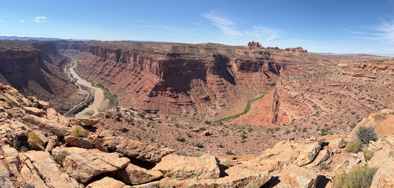
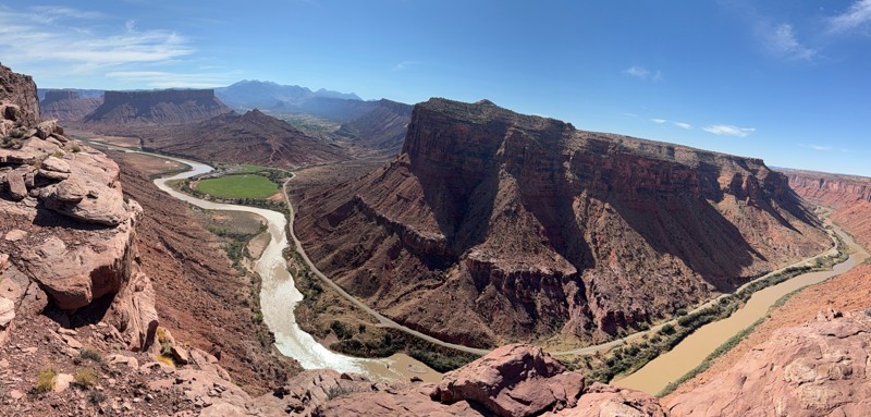
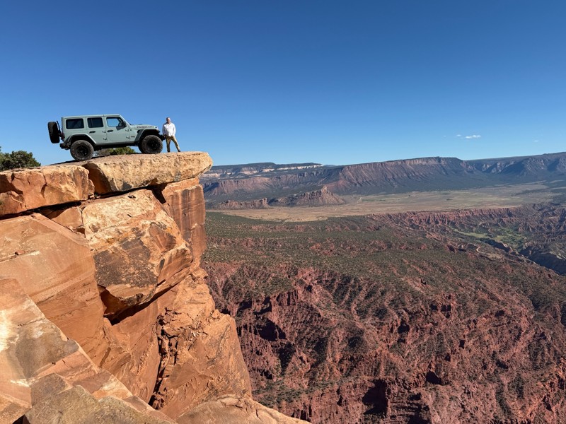
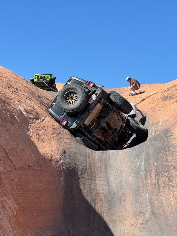
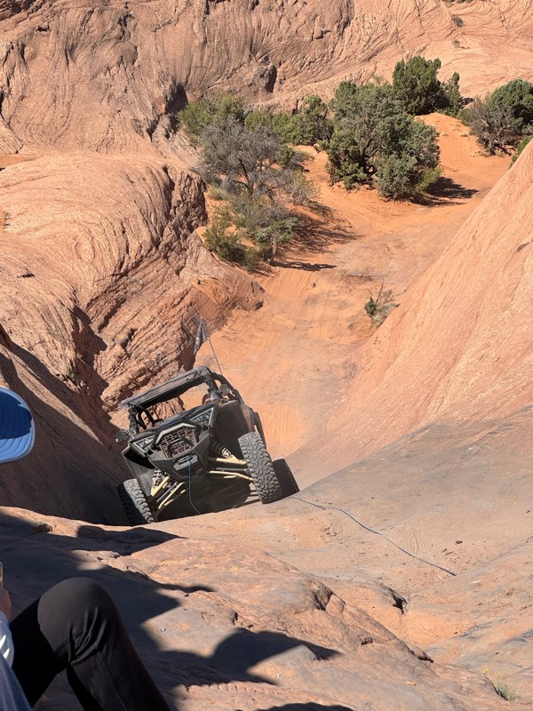
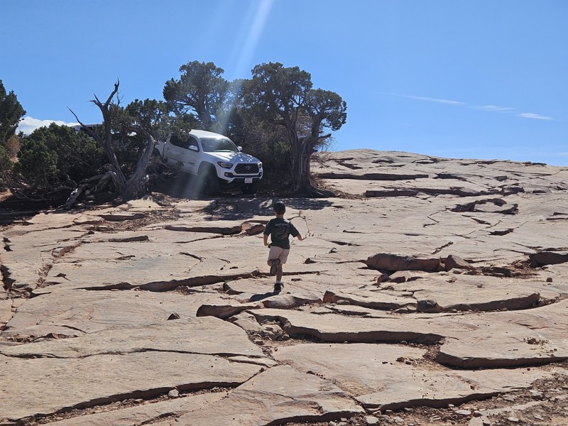
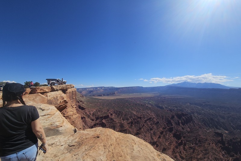
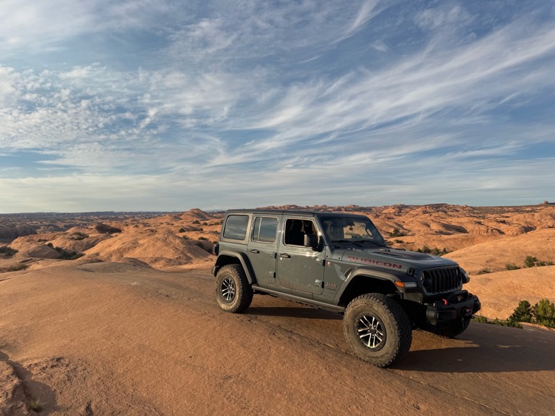
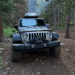
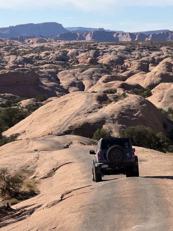
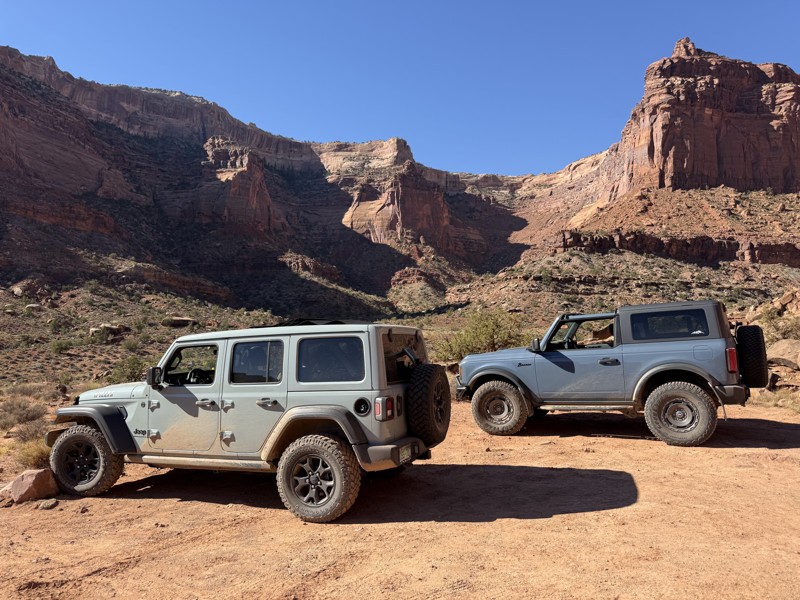
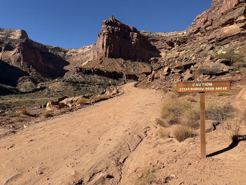
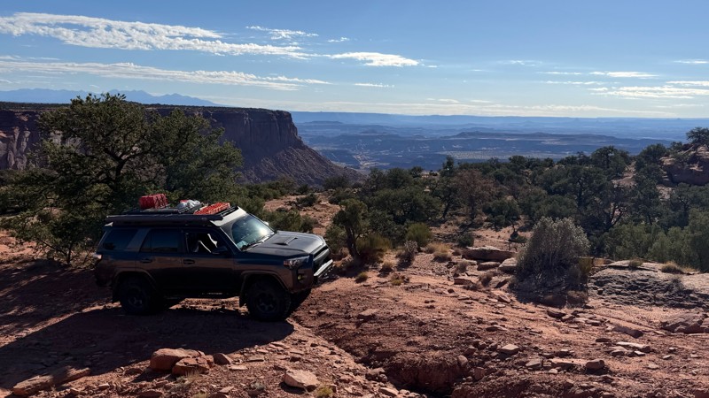
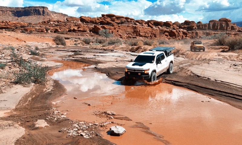
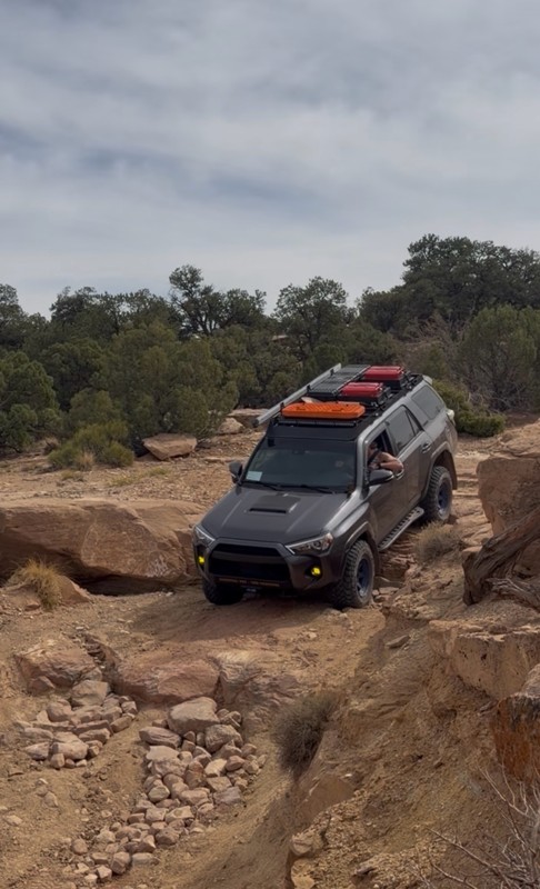
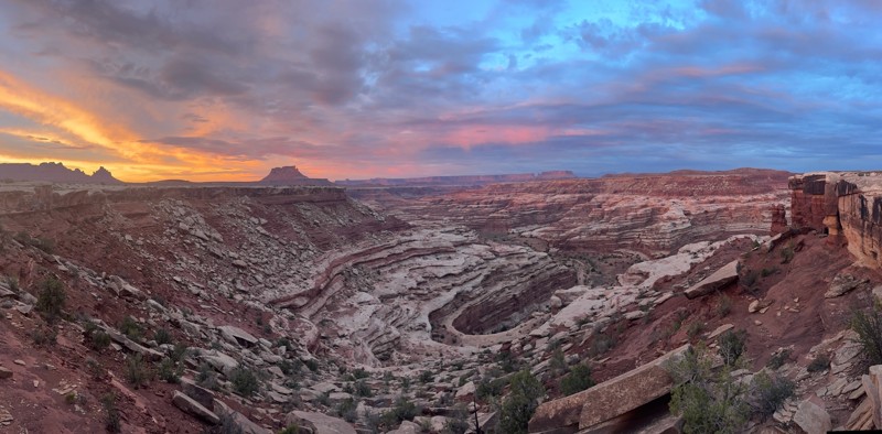
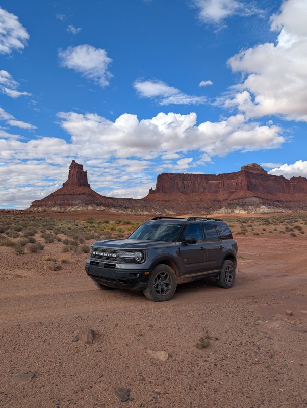
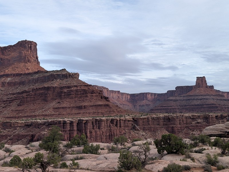
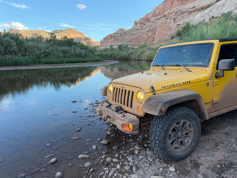
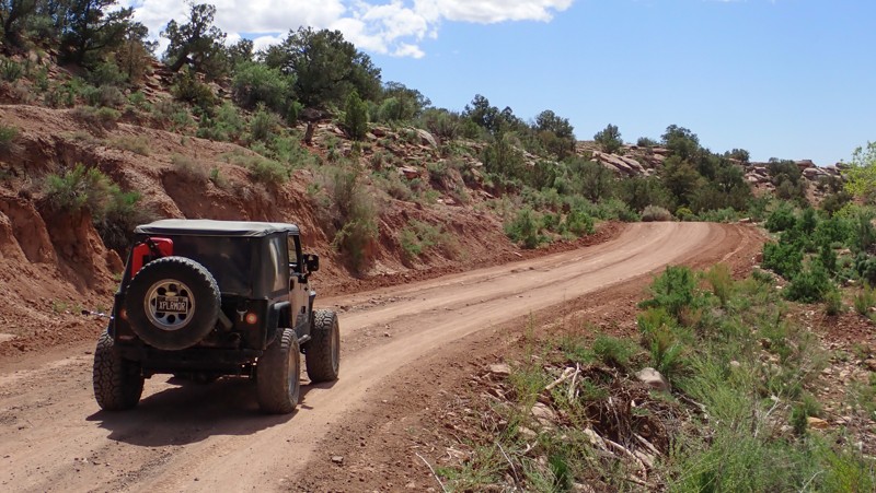
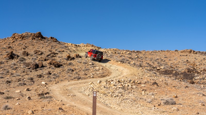
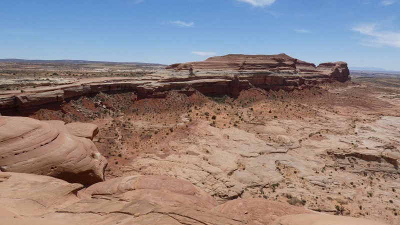
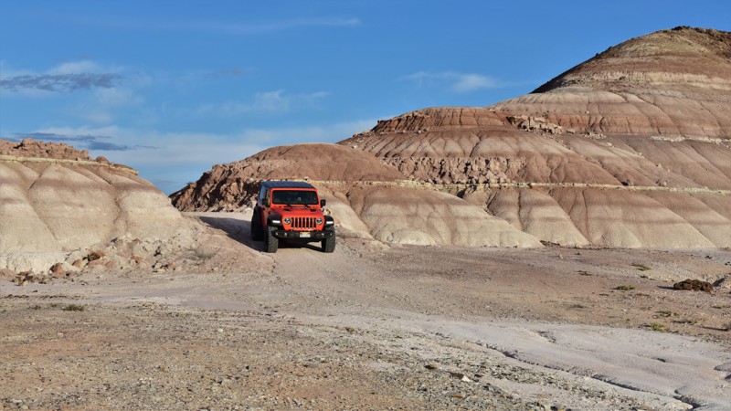
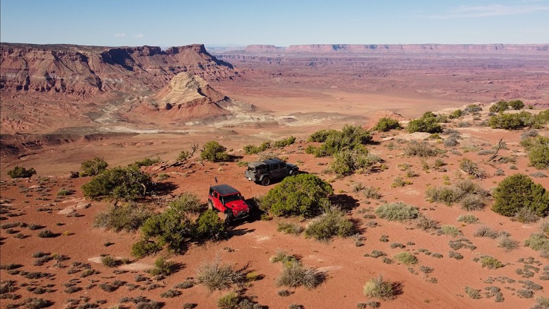
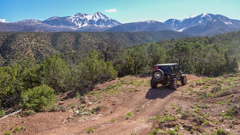
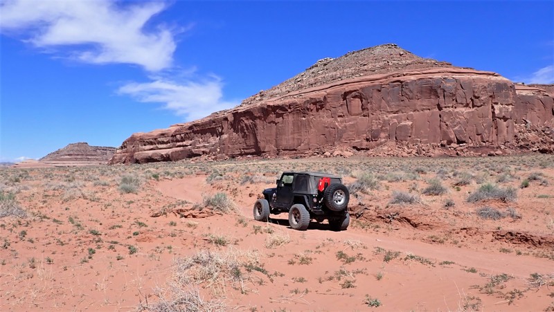
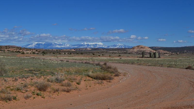
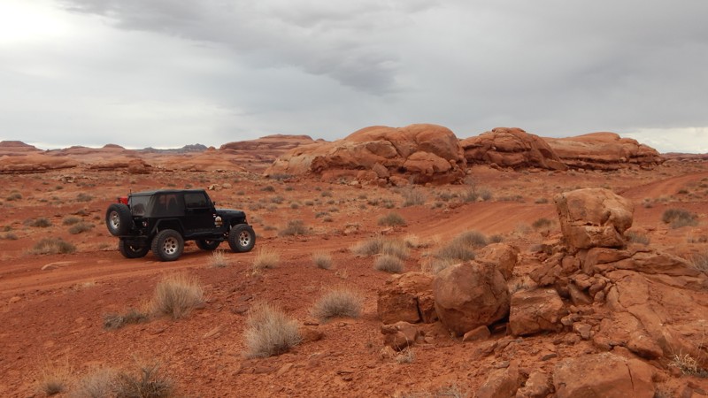
Moab, Utah, is renowned worldwide as a premier destination for offroad enthusiasts. Nestled in the heart of the American Southwest, Moab offers a diverse array of trails that cater to all skill levels. Whether it's an overland or rock crawling adventure you are looking for, this stunning red rock landscape offers 100s of open roads and trails that range from easy to extreme. The area spans over 103,000 square miles and includes lands managed by the Bureau of Land Management, The Manti-La Sal National Forest, Utah State Trust Land, Arches and Canyonlands National Parks, and the Sand Flats Recreation Area.

While the most well-known trails, such as Hell’s Revenge, Fins and Things, Poison Spyder, The White Rim Trail, and the Rimrocker, are typically the main attractions, the area is home to plenty of hidden gems worth exploring.

While visiting and riding the trails, enjoy Arches and Canyonlands National Parks to round out your trip. Plan accordingly because Arches now has a timed entry system from April through November, where you need a permit to enter. It is also important to know that summers can have extreme heat with monsoons, and even though it is a high-plain desert, it can snow in the winter months.

Dispersed camping is limited and only available in designated areas. Each Trails Offroad trail guide lists the various camping opportunities, including BLM’s designated campsites. BLM also manages several campgrounds with vault toilets and picnic tables. Within the town of Moab, you can find various lodging and dining opportunities and repair and maintenance services for your vehicle.


Top Reasons to Explore Here

Basemaps
Go All-Access to Unlock


TRAILS OFFROAD™ TRAIL TYPES
Trail Guide
Full detailed write up with Advanced Rating System, Waypoints, Video, and more.
Scout Route
Lite version with highlights, camping, and hardest part documented. Vetted in person.
TRAIL DIFFICULTY RATINGS
easy (1-2)
Suitable for high clearance 2WD
moderate (3-4)
Best suited for a high clearance 4x4
difficult (5-6)
Best suited for a lightly modified 4x4
severe (7-8)
Best suited for a highly modified 4x4
extreme (9-10)
Best suited for specialized buggy type vehicles
LAYERS

Most Recent Trail Reviews

Most Popular

Search for Trails
Utah: Professor Valley Rim Hero Photo
Scout Route Icon
5/5 (5 reviews)
Updated: 09/23/2026

Professor Valley Rim

Dewey, Utah

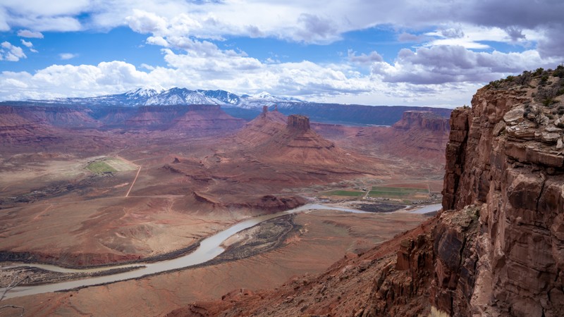
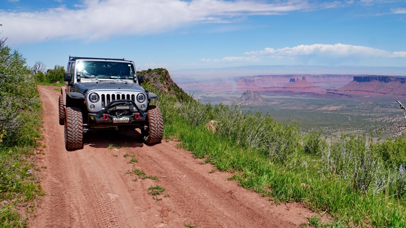
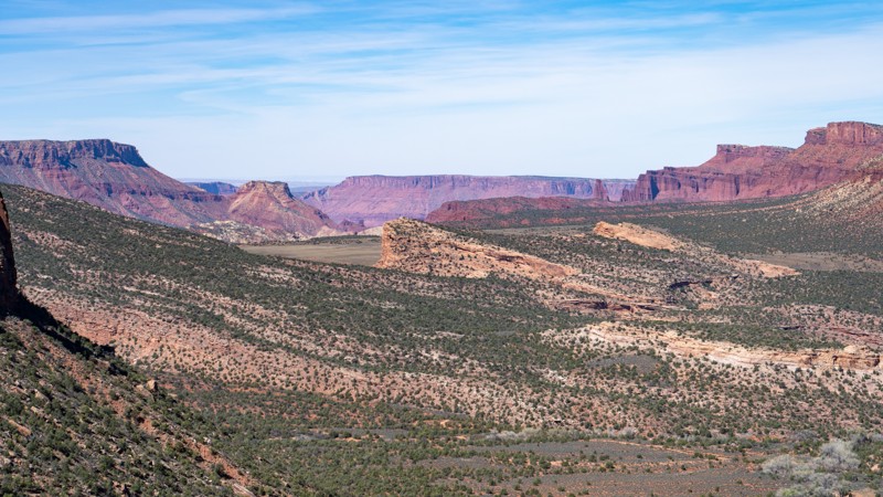
This short, 1.6-mile dead-end spur travels along the southwest end of Dome Plateau to a rim nearly 2,000 feet above Professor Valley. For over a half mile, you will ride the edge of the rim with astonishing panoramic views of the La Sal Mountains, Parriott Mesa, Castleton Tower, the Priest and Nuns rock formations, as well as the Colorado River. The drive is fairly easy in a high clearance 4WD vehicle, but users can expect to encounter 6-8" rocks and ledges along the way, tight brush that is likely to scratch your paint, and one loose hillclimb that might require low range. The trail ends at a small roundabout that can accommodate four to six vehicles and offers plenty of level, open ground for camping on top of patches of slickrock. This trail is suitable for any high clearance vehicle, but not recommended for large groups due to the small size of the ending turnaround.

Utah: Hunter Canyon Hero Photo
All-Access Icon
4.5/5 (4 reviews)
Updated: 04/01/2025

Hunter Canyon

Spanish Valley, Utah

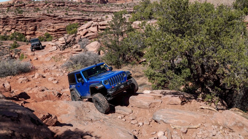
Wedged between two iconic Moab trails and skirting the edge of the Behind The Rocks Wilderness Study Area, Hunter Canyon somehow maintains a low profile while serving as the perfect encore to its neighboring routes. It lures you in with a few optional challenges, but just as you get comfortable and drop your guard, the canyon flips the script, throwing down a tight gauntlet of steep climbs, large boulders, and stacked ledges. It’s shorter and easier than its legendary northern neighbor, but make no mistake: Hunter Canyon is a rock-crawling trail that knows how to throw down.

Utah: Thelma and Louise Hero Photo
Scout Route Icon
4.3/5 (8 reviews)
Updated: 04/29/2025

Thelma and Louise

Moab, Utah

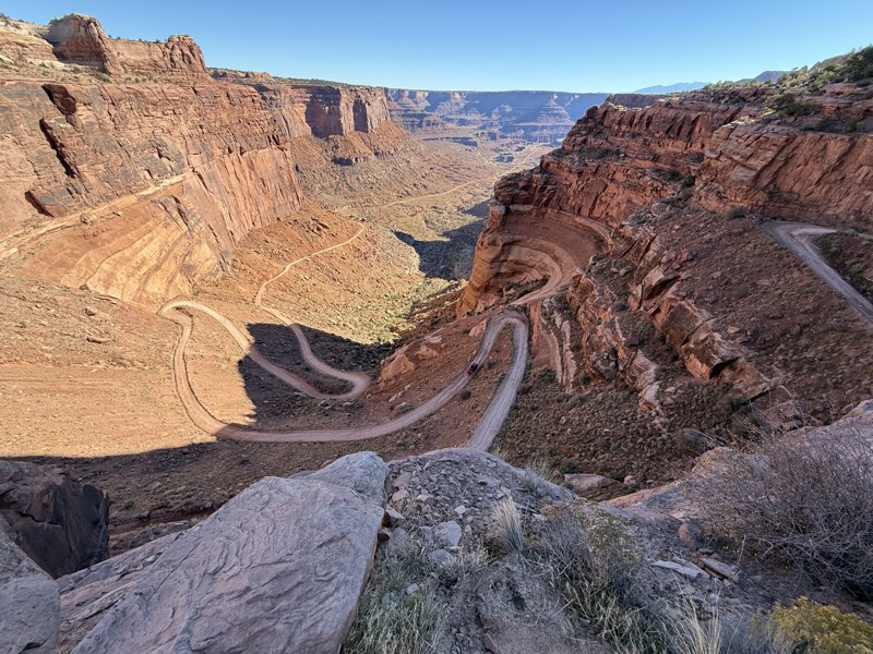
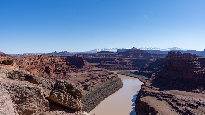
Many refer to this as Thelma and Louise Point due to the 1991 film "Thelma and Louise." Much of the film was shot above at Dead Horse Point and looking down into this location. The road is comprised of dirt with golfball to baseball-sized rocks, and any vehicle can handle it. Follow the track to ensure you stay on the actual road, as you will see many vehicles driving up the edges, which would be considered "off the trail." Camping is prohibited.

Utah: Upper Porcupine Rim Hero Photo
Scout Route Icon
5/5 (1 reviews)
Updated: 10/15/2024

Upper Porcupine Rim

Castle Valley, Utah

The Upper Porcupine Rim trail is an extremely scenic forest road that is also part of the Kokopelli Trail. It connects Sand Flats Road and the La Sal Loop Road, following the upper portion of Porcupine Rim with spectacular views of the La Sal Mountains and Castle Valley. It is best driven east to west, so the views along the rim are on the driver's side. It is also heavily used by bikes to access the Upper Porcupine Singletrack (UPS) trail, which is part of the Whole Enchilada bike trail.

The hardest part of the road is near the beginning, where it climbs steeply up to the rim from the intersection with Sand Flats Road. This section is heavily rutted dirt interspersed with short sections of slickrock, which would likely be impassable in wet conditions as it looks like it can get extremely muddy. Once on top of the mesa, the trail levels out and becomes smoother, passing through a wide-open flat meadow, which would be great for camping. About halfway into the trail, it reaches the rim of the mesa at an overlook with amazing views of Castle Valley to the west and Green Mountain and Mount Waas to the east. From here, the road follows along the rim for about a mile and a half before turning inland and intersecting the La Sal Loop Road next to the Jimmy Keen trailhead.

Though there are no obvious established campsites along this road, dispersed camping is allowed per the MVUM, and the meadow just before reaching the rim would make for a gorgeous location for camping. There are also multiple established campsites along Sand Flats Road near the beginning of this trail.

Utah: Mineral Point North Return via Hellroaring Rim Hero Photo
All-Access Icon
4/5 (2 reviews)
Updated: 12/26/2023

Mineral Point North Return via Hellroaring Rim

Moab, Utah

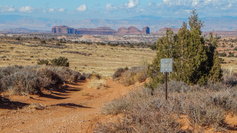
Hell Roaring Rim (HRR) is quietly becoming an iconic route to travel in Moab. Considered a "family route," it's ideal for stock 4x4s and beginner drivers wanting a bit of a challenge but "nothing crazy." This portion of the HRR route is a scenic and fun way to cut your teeth on the rocks and take in spectacular views of the entire region from high up on a mesa. You create the iconic HRR route and an all-day scenic adventure by including the Mineral Point and Mineral Point to Spring Canyon Bottom Road trails. You'll wind through a diverse and well-preserved desert landscape with hidden historic markers and endless views of the canyons and distant mountains.

Utah: Hell's Alternate #2 Hero Photo
Scout Route Icon
2/5 (2 reviews)
Updated: 09/10/2026

Hell's Alternate #2

Moab, Utah

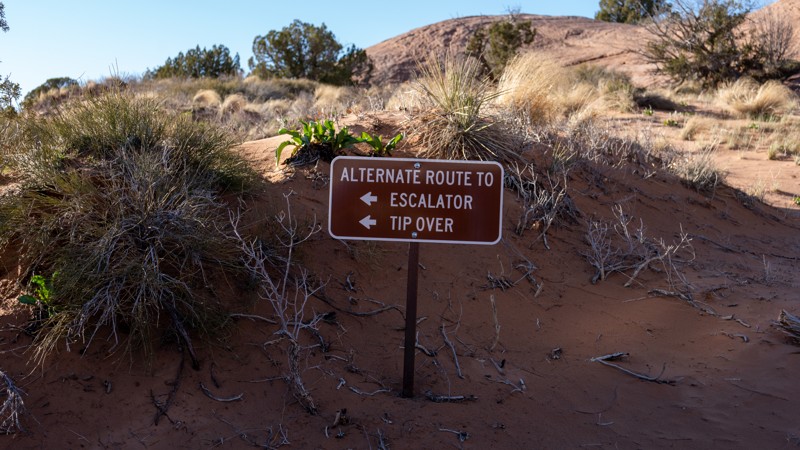
Hell's Alternate #2 is a short, easy, sandy shortcut that can be traveled in either direction, west or east. This trail is the quickest way to reach Escalator, Staircase, and Tip-Over Challenge from the Sand Flats entrance if looking to avoid the hot tubs. Additionally, this route is often used as an early exit route for those that run the northern half of Hell's Revenge and want to return to the entrance parking lot.

This trail is suitable for any high clearance vehicle.
Utah: 7 Up Hero Photo
Scout Route Icon
3/5 (1 reviews)
Updated: 10/15/2024

7 Up

Moab, Utah

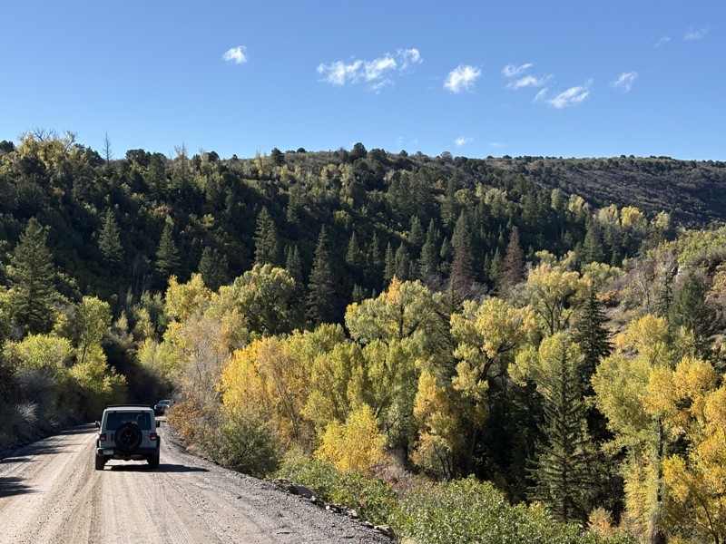
Known as an exciting mountain bike trail, 7-Up is a short but fun 4.9-mile 4WD track along a portion of the popular bicycle trail. The trail passes below colorful rock cliffs with a hidden natural arch and across sprawling meadows with beautiful backdrops of red buttes. Dropping onto the sandy two-track at the northern trailhead, known as Old Arths Road, you are advised of the no camping along this section of the trail, but you are allowed to camp at the southern end of the route. The trail is ideal for stock 4x4s with high ground clearance and durable offroad tires. Several rocky ledges 8 to 10 inches tall will high-center long and low vehicles.

Utah: Hideout Canyon Road Hero Photo
All-Access Icon
4.5/5 (22 reviews)
Updated: 06/29/2026

Hideout Canyon Road

Castle Valley, Utah

Hideout Canyon Road connects the east end of Onion Creek Trail to Polar Mesa, winding through its namesake canyon along the famed Kokopelli Trail. The road is lined with mature Utah juniper, giving the canyon a classic high-desert feel as twisted trunks and dense green crowns stand out against the red sandstone walls and sandy desert floor, with Cowhead Hill towering in the background. Following part of the Kokopelli Trail corridor, the route offers scenic canyon travel, access to great camping, and a memorable connection between two classic backcountry areas.

Utah: Salt Wash Road Hero Photo
All-Access Icon
3.8/5 (4 reviews)
Updated: 03/04/2024

Salt Wash Road

Green River, Utah

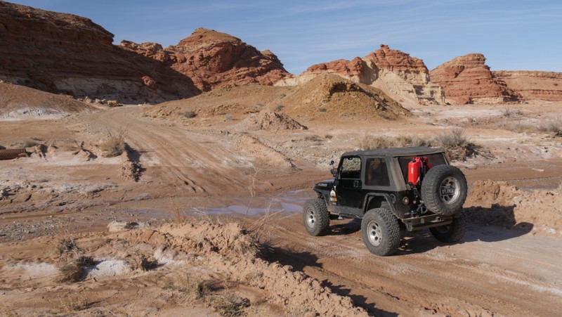
Salt Wash Road is a gateway to a mild but memorable painted desert and several popular 4x4 trails. A portion of the trail is part of the Easter Jeep Safari "Crystal Geyser" route and links several other 4WD trails between Moab and Green River, Utah. The road is easy and uneventful. The surrounding rock formations and multi-layered cliffs create beautiful panoramas. Deposits of bright white colors mixed into the red rocks create "cake layers" of colored sandstone. Lion's Head Rock at Waypoint 6 is a unique formation resembling a male lion with a mane of red rocks.

Utah: Radio Tower Bluff Road Hero Photo
All-Access Icon
2/5 (1 reviews)
Updated: 06/05/2022

Radio Tower Bluff Road

Green River, Utah
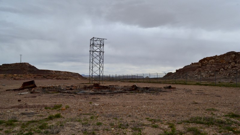
Radio Tower Bluff Road (sometimes referred to as Missile Base Road) is a unique trail just south of Green River, Utah. It is a short spur off of Crystal Geyser Road (Little Valley Road) and will take you back toward a section of the old missile base. Conspiracy theorists have reason to converge on this area. Located in the immediate area in the surrounding hills is the abandoned USAF Green River Launch Complex, known informally as New Area 51. With a quick scan of the area, keen observers can locate the abandoned buildings from the military complex which was closed down in the 1970s​. This area also has some unique geology to note. If you are in the area, be sure to take this leisurely​ drive and explore what Green River has to offer.
Utah: Salt Wash Trail Hero Photo
All-Access Icon
4.2/5 (4 reviews)
Updated: 03/23/2024

Salt Wash Trail

Green River, Utah

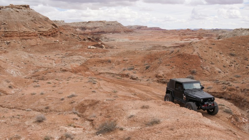
Otherworldly, barren, and desolate describe the foreboding landscape along Salt Wash Trail. The trail winds through and across rugged canyons with colorfully striped cinder cones dotting the horizon. This rugged but oddly beautiful Utah desert is frequented by geologists and archaeologists seeking rare earth minerals and ancient fossils. Salt Wash Trail has enough 4x4 challenges to keep things exciting and a wild mix of terrain, an excellent alternative to the easier trails in the area.


Utah: Brown's Hole Hero Photo
Scout Route Icon
2/5 (1 reviews)
Updated: 10/15/2024

Brown's Hole

La Sal, Utah

Located south of Moab, on the edge of the Manti-La Sal National Forest, Brown's Hole is an easy 5.3-mile trail cutting through a scenic canyon with private residence. The western portion of the trail is a graded gravel road with a couple of campsites. They are easily accessible and have room for a couple of vehicles with tents. The trail becomes rougher once you enter Browns Hole, a canyon with a flowing creek. There can be deep muddy ruts and potholes while passing the various rustic ranches. The eastern portion is a lovely forest road along a narrow ledge above the creek. The complete trail can be completed in a stock high clearance 4x4 vehicle.
Utah: Airport Hill Hero Photo
Scout Route Icon
4/5 (1 reviews)
Updated: 10/15/2024

Airport Hill

Moab, Utah

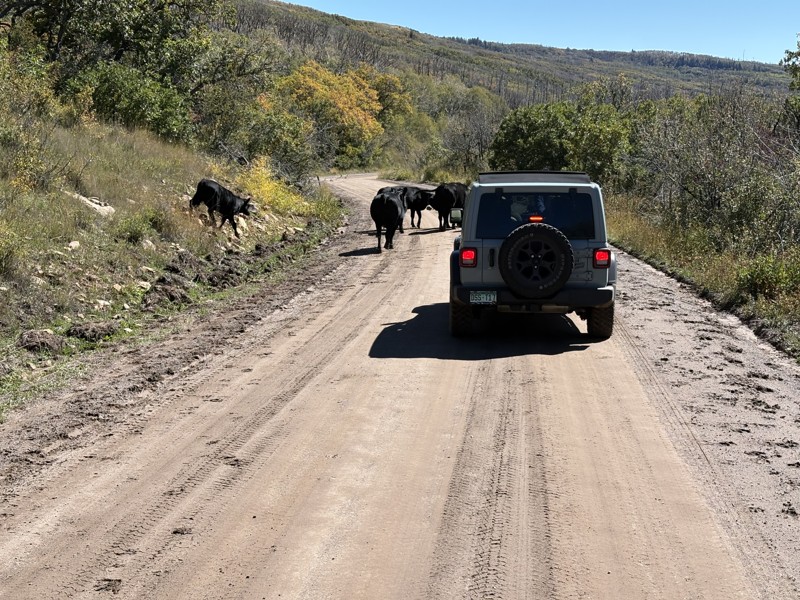
Airport Hill is a small section of the 3D Jeep Safari Route starting near the Mill Canyon Trailhead. The trail is known for its steep, rocky hill climb near its eastern end. This hill climb snakes up to the top of a mesa. There's a two-foot rock ledge before the trail levels out with panoramic views of the Labyrinth Rims area and the Canyonlands Field Airport. The trail continues west, trekking along exposed piles of slickrock and soft sand before ending at an intersection with Sevenmile Rim within Tusher Canyon.

This trail is suitable for any high clearance 4x4.

There is no camping along this trail. Camping in this area is limited to designated dispersed spots only. Several designated sites are located along Cotton Mine Road.

Utah: Rainbow Rim Hero Photo
All-Access Icon
4.6/5 (6 reviews)
Updated: 06/05/2022

Rainbow Rim

Moab, Utah

Driving out to the point and walking up to the edge of Rainbow Rim is breathtaking. The adrenaline rush of slowly approaching the edge of the 400-foot vertical cliff is something you will never forget. Countless overlooks in the Moab area require quite a bit of effort to reach either on foot or in a Jeep. Rainbow Rim is an excellent way for the family or a group to experience the feeling of walking up to a breathtaking overlook without committing to an arduous all-day beat down. This memorable trail has no rock crawling or challenging obstacles. Instead, the mild mix of Moab-type terrain entertains even the seasoned wheeler.

Utah: Salt Washington North Hero Photo
All-Access Icon
4/5 (4 reviews)
Updated: 06/05/2022

Salt Washington North

Green River, Utah
Salt Washington North begins near the Crystal Geyser just south of the town of Green River. It heads generally south until its dead end overlooking the Green River in a desolate, middle of nowhere place. The road allows for access to other trails like the Salt Wash Trail and ATV Orange Trail. This trail offers some beautiful views of the multi-colored, layered sandstone rock formations iconic to the Utah landscape.
Utah: Owl Draw Spur Hero Photo
All-Access Icon
4.8/5 (5 reviews)
Updated: 05/26/2024

Owl Draw Spur

Moab, Utah

If you want to add extra difficulty and excitement to an already iconic route, Owl Draw Spur is an excellent addition to the Dome Plateau Loop. It's a challenging and twisting ride through a rocky gorge with two big waterfalls. This short route starkly contrasts the other trails on the plateau. It's rugged and in a tight canyon without the sprawling prairie views and sandstone cliffs. Whether you're beginning or ending your plateau tour, leave time for this bonus track.

Utah: White Knuckle Bypass Hero Photo
Scout Route Icon
3/5 (1 reviews)
Updated: 10/15/2024

White Knuckle Bypass

Spanish Valley, Utah
Just like the name suggests, this road is a bypass for the extreme obstacle known as White Knuckle Hill along the western edge of the Behind The Rocks Trail. This road can be used as an early exit to reach Behind The Rocks Road or as an easy entry point by spectators to come and watch vehicles take on the extreme obstacle. This road does provide a couple of great campsites for those looking to get off the main path a little bit.
Utah: 347 and 166 Hero Photo
Scout Route Icon
3/5 (2 reviews)
Updated: 04/22/2026

347 and 166

Dewey, Utah
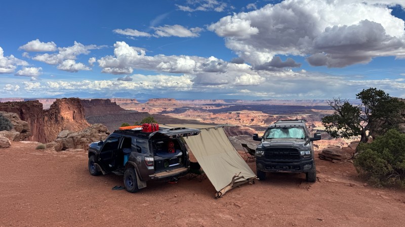
A wide graded dirt road leads you further south into the Dome Plateau area. It provides interesting views of Fish Deep Draw on the south end and The Highlands on the northeast end. Very little camping but abundant wildlife in the area due to a couple of nearby ponds.
Utah: Buttes and Towers to Seven Mile Rim Cutoff Hero Photo
Scout Route Icon
4/5 (1 reviews)
Updated: 04/01/2026

Buttes and Towers to Seven Mile Rim Cutoff

Moab, Utah
This trail is a short spur used to connect two iconic Moab routes. This short trail has does have a few mild challenges for low clearance vehicles. There are a few sandstones ledges that are 8-10 inches tall. Your vehicle will need 4x4 and high clearance to prevent high centering. Try not to get distracted by the breathtaking Determination Towers. Camping is not allowed in the Courthouse Pasture area. There is camping on trails to the north or at one of the established campgrounds along highway 313.
Utah: Canyon Rim Overlook Trail Hero Photo
Scout Route Icon
5/5 (2 reviews)
Updated: 10/15/2024

Canyon Rim Overlook Trail

Spanish Valley, Utah

If you are looking for epic views and the most amazing campsite, then this trail is for you. Canyon Rim Overlook Trail is about 25 minutes south of Moab. It’s convenient to the world-class trails that Moab has to offer without the crowds. The trail starts on Hatch Point Road and can be easily missed if you’re not paying attention. Although not overly difficult, there are a few spots that require your attention. 4x4 and a higher clearance vehicle are recommended.

Utah: Slaughter Flats 78 Hero Photo
Scout Route Icon
5/5 (1 reviews)
Updated: 10/15/2024

Slaughter Flats 78

Spanish Valley, Utah

Traveling up into to foothills of the Manti-La Sal Mountains, Slaughter Flats is a moderate scenic tour past old mines and sprawling panoramas of the mountain peaks. From the northern trailhead, the trail travels along narrow rocky ledges with countless dead-end off-shoots to old mine sites. By following the track closely, you'll safely travel past Yellow Circle mines and the relics left behind. You can stop at the old foundation with a chimney and a safe door. The old fenced-off mine entrances and a rusty truck dump are further up the twisting ledges. The trail is ideal for stock 4x4s with high clearance and durable offroad tires. The trail has numerous loose rocky hill climbs that require low-range gearing. The brush is tight, so you will get pinstripes. No camping was found along this route.

Utah: Levi Well Road Hero Photo
Scout Route Icon
3.8/5 (7 reviews)
Updated: 12/02/2025

Levi Well Road

Crescent Junction, Utah

Levi Well Road is a quick and easy way to access the expansive trails within this area. The trail mixes soft sand and large sandstone slabs poking through the sand. It can be pretty bumpy, but there are not any rock obstacles. Low clearance vehicles may become bogged down and high-centered in the deep sand ruts. Camper vans may want to use another access road. The soft sand may dictate four-wheel drive and lower tire pressures. Camping was fairly limited along this route but not the area in general.
Utah: Short Cut Road Hero Photo
All-Access Icon
2.5/5 (4 reviews)
Updated: 06/05/2022

Short Cut Road

Moab, Utah
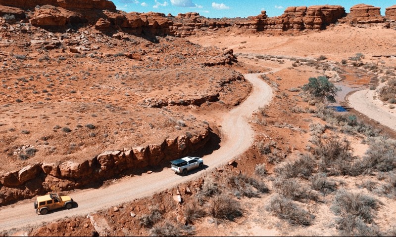
Short Cut Road is a great access road to many cool areas and sights to explore. If you are headed to Secret Spire, this will be the road to take. There are many camping opportunities along this route and also nearby, so it makes for a great place to basecamp​ for a weekend of adventure. You can also travel Short Cut Road to the south to access Spring Canyon Bottom. From there, you have a number of other incredible trails to explore.
Utah: Red Wash Road Hero Photo
Scout Route Icon
4.7/5 (3 reviews)
Updated: 04/10/2026

Red Wash Road

Green River, Utah
Red Wash Road is the continuation of Ruby Ranch Road. The trail starts at the southern border of the White Wash Dunes OHV area. You can find a couple of fenced-off areas for camping at the trailhead. The camp spots are very flat and have spectacular views of the surrounding area. The trail has a couple of mild rock crawling sections. You will need high clearance and 4-low gearing to navigate these sections safely. There are a couple of epic primitive campsites. The best site is hidden in a horseshoe-shaped canyon. The trail travels past its namesake canyon. You can park your vehicle right on the edge of the canyon to take in the breathtaking views.