Region

Moab

Utah

Offroad Trails in Moab

A Region within Utah
4.5/5 (2931)

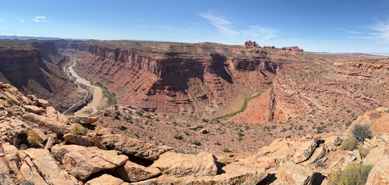
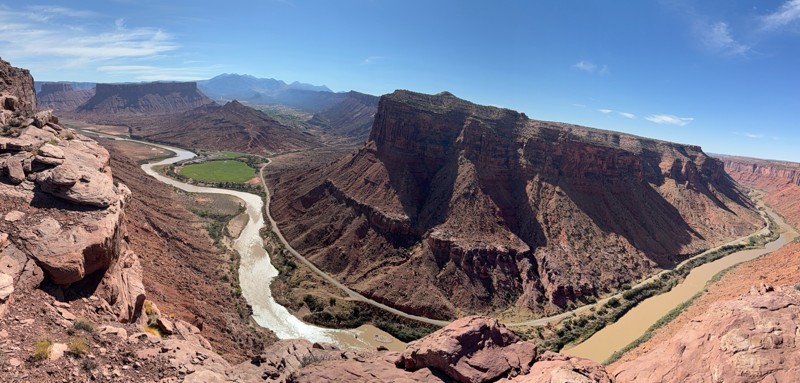
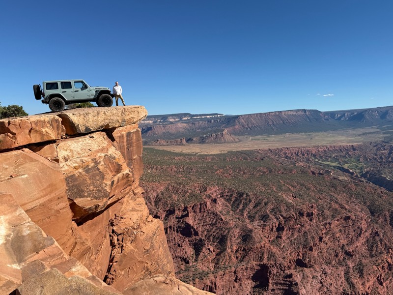
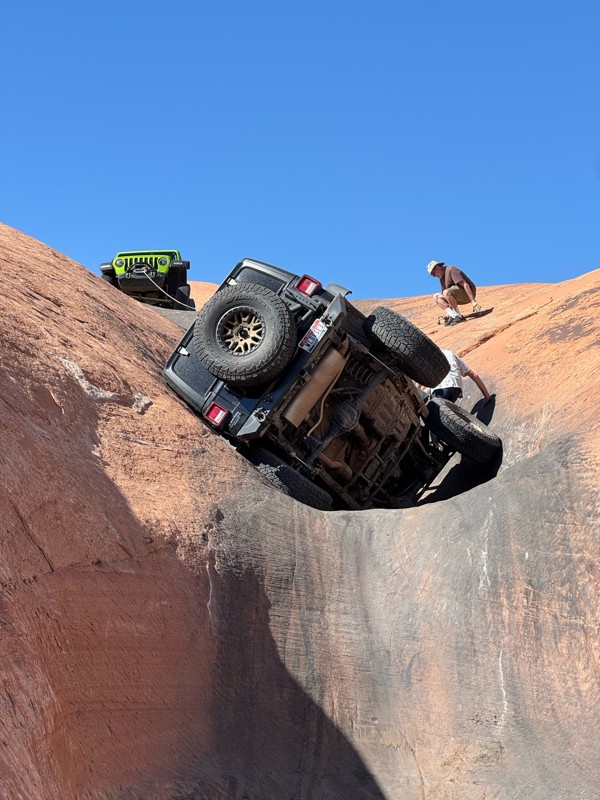
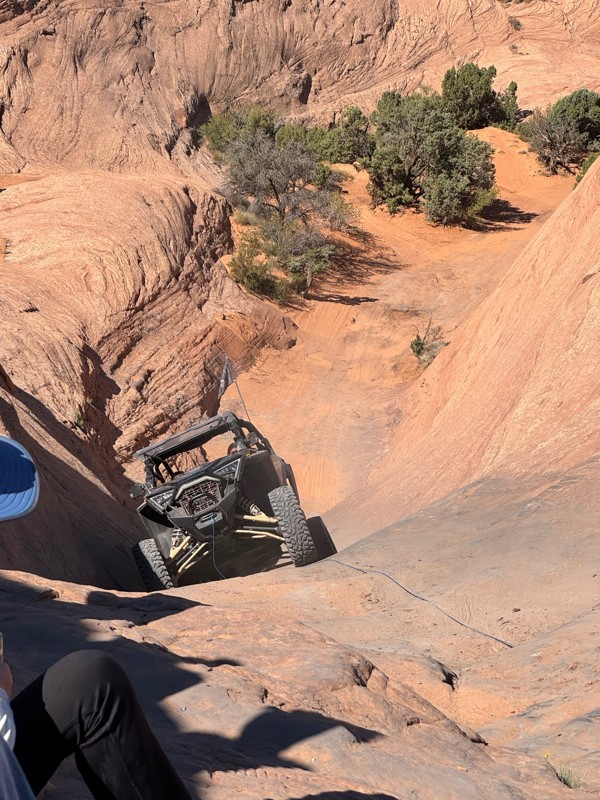
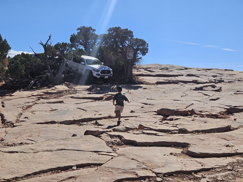
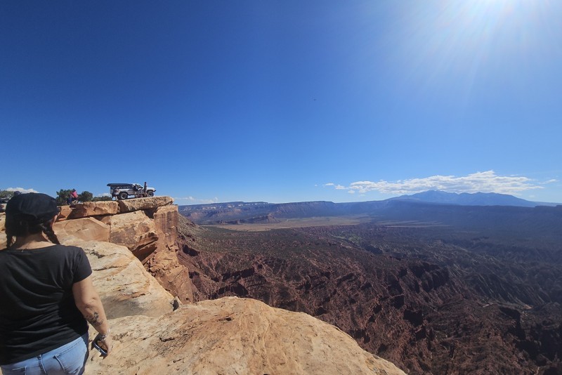
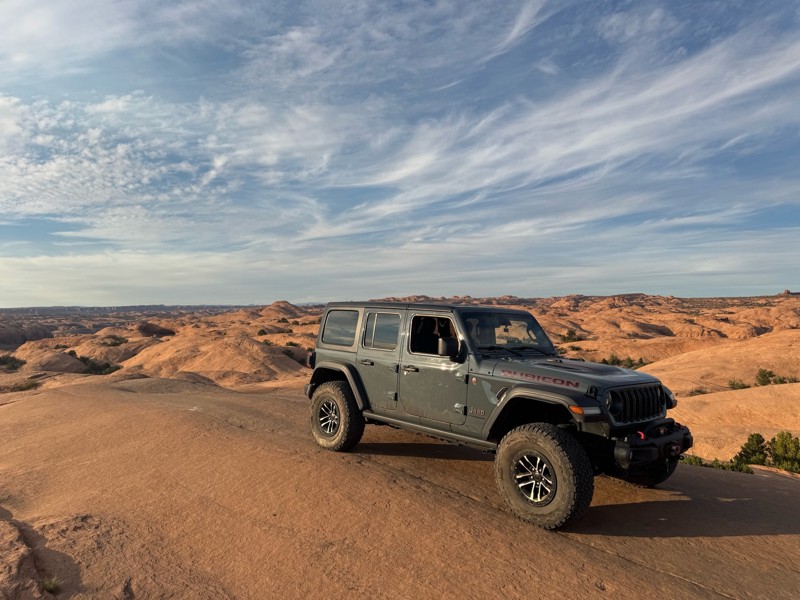
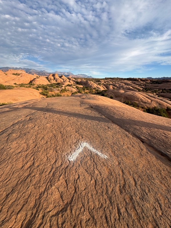
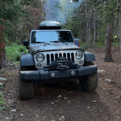
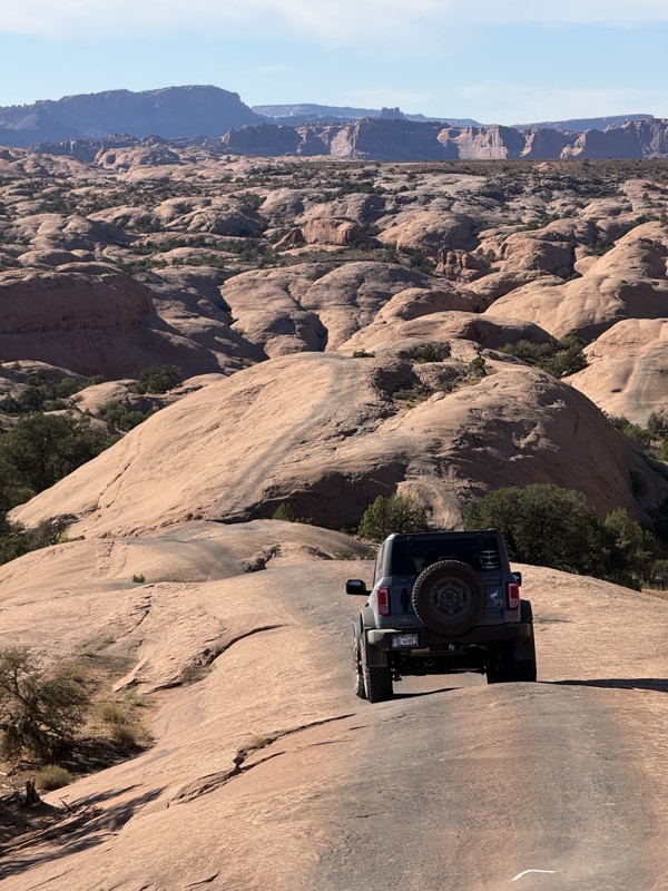
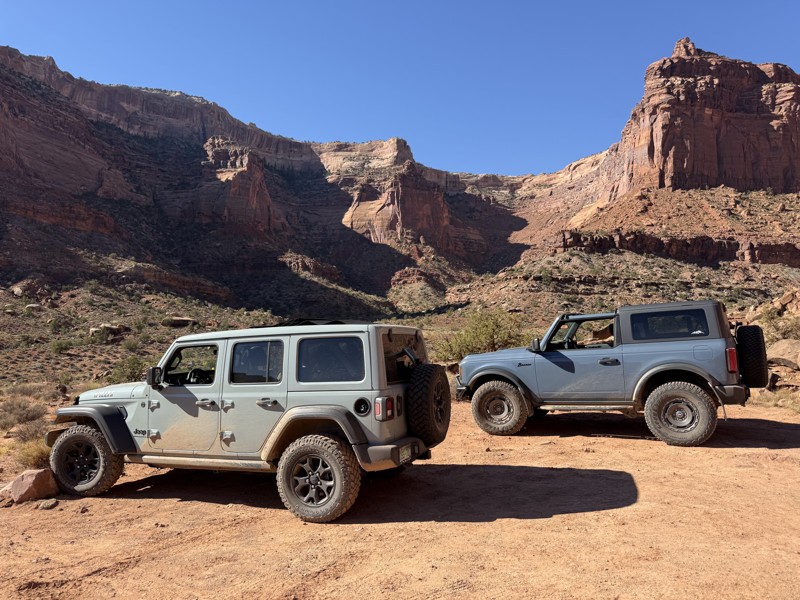
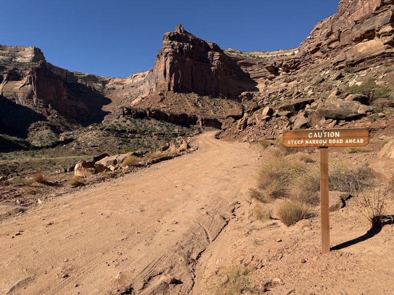
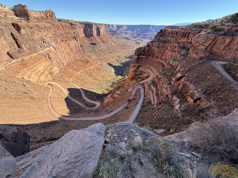
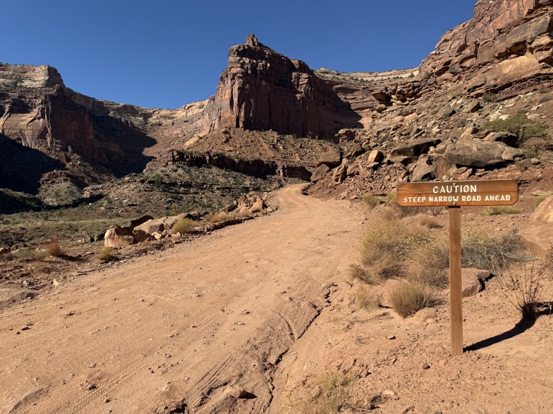
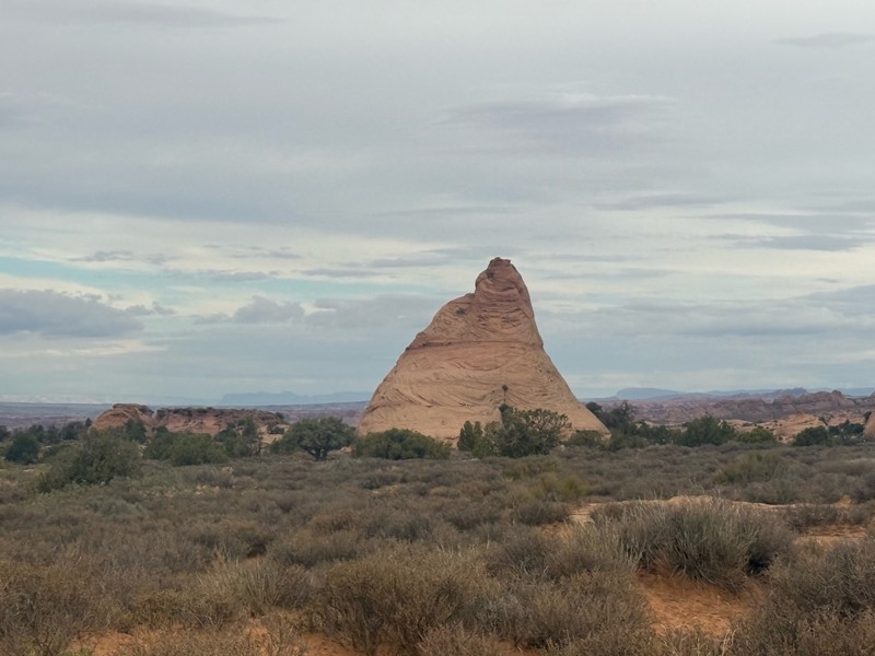
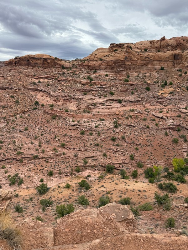
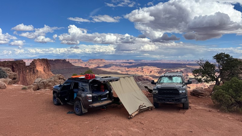
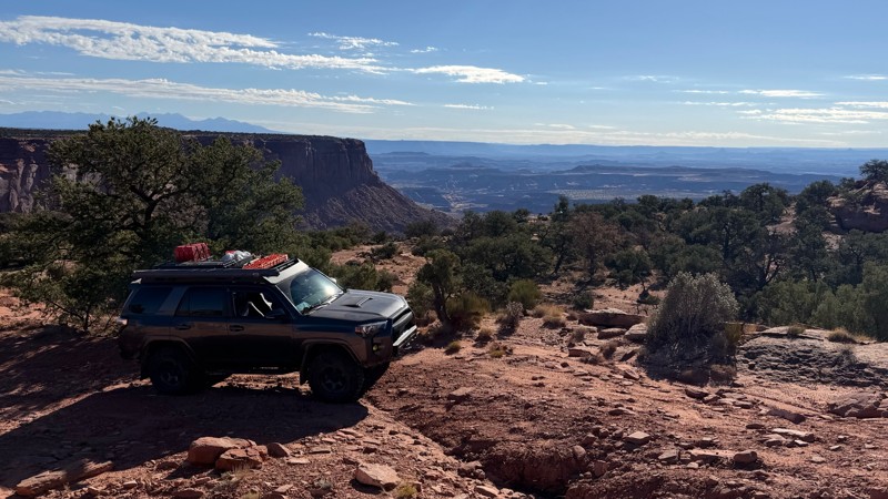
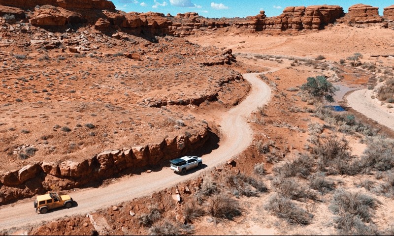
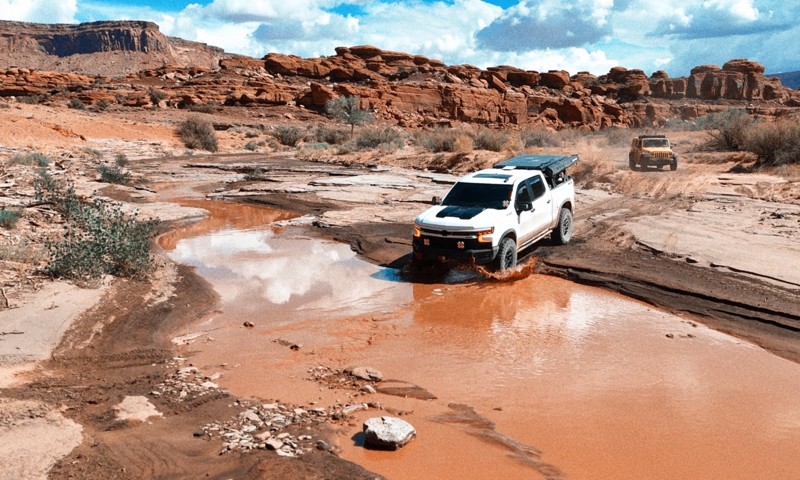
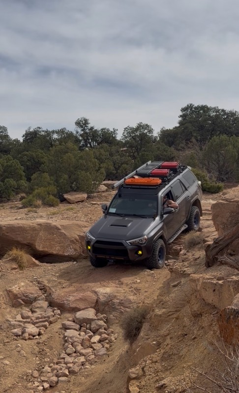
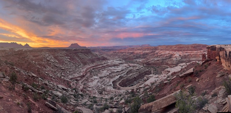
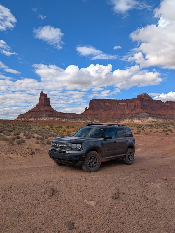
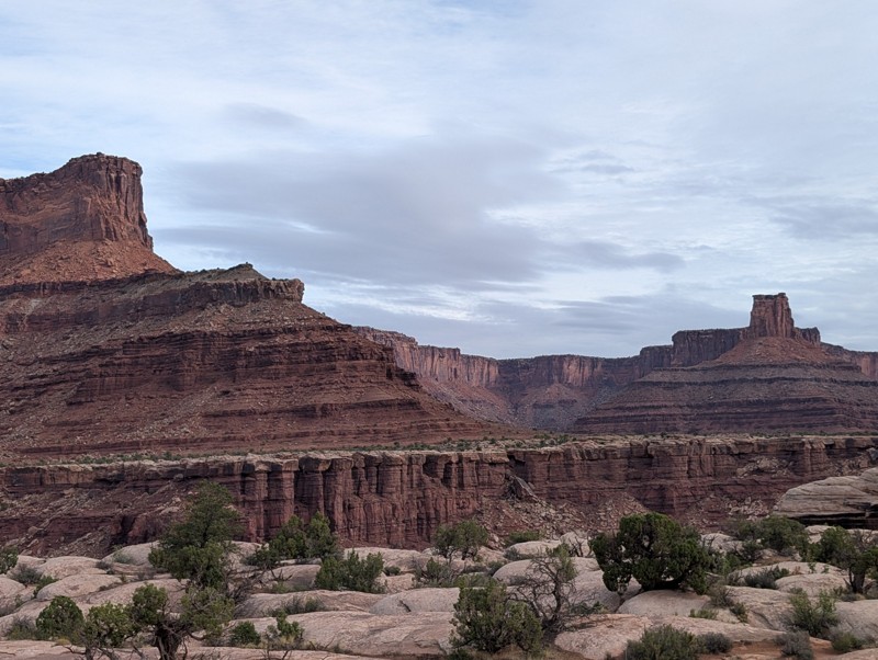
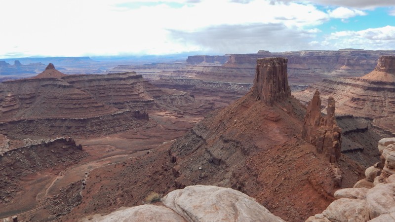
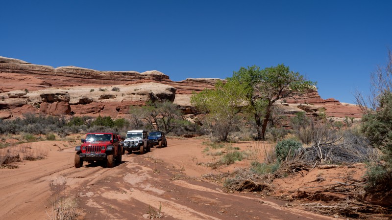
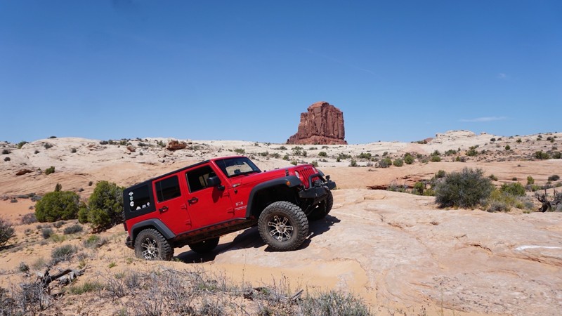
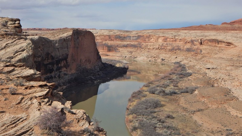
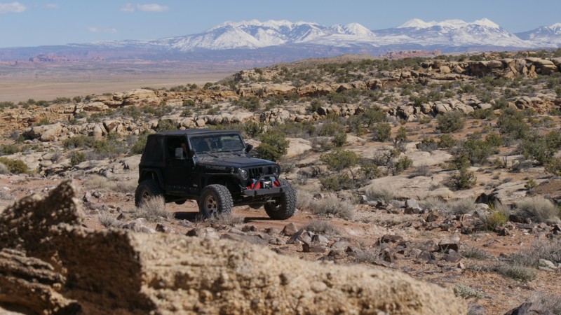
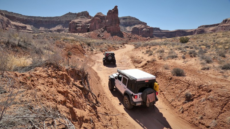
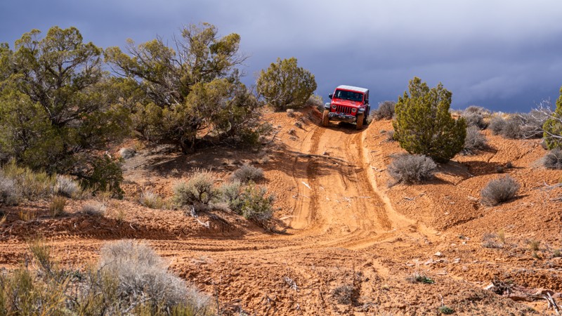
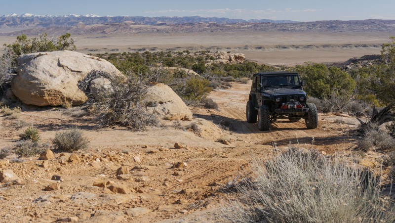
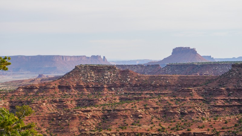
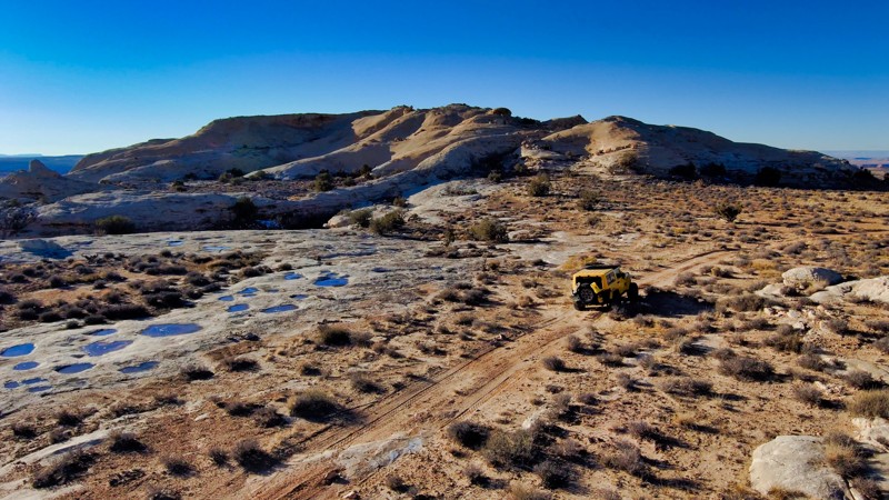
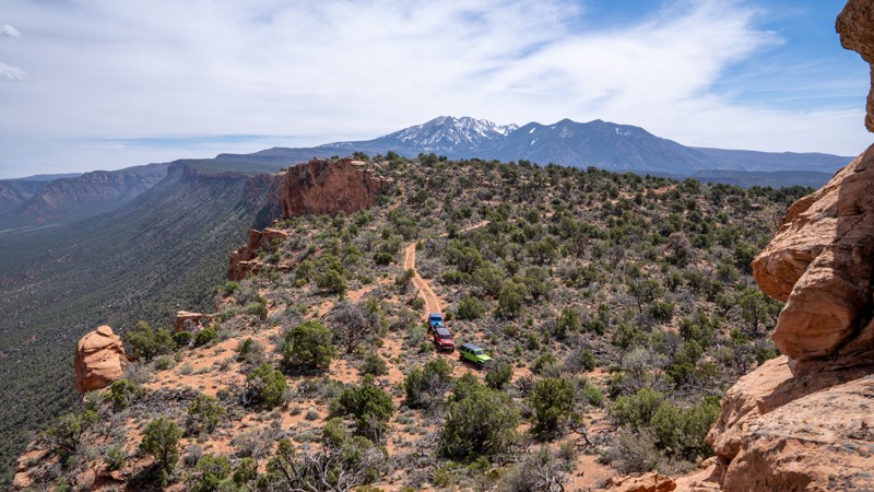
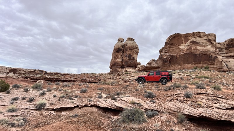
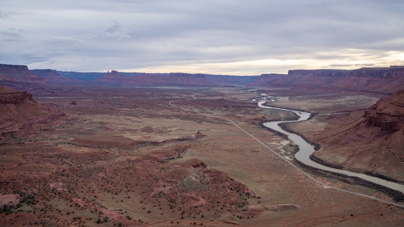
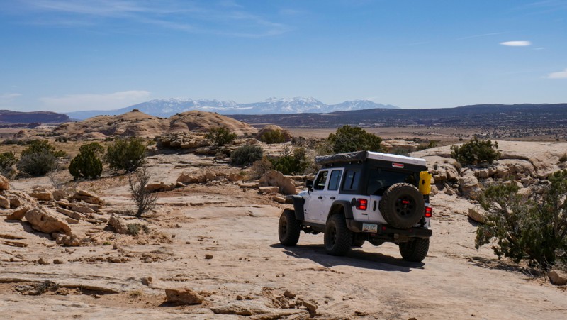
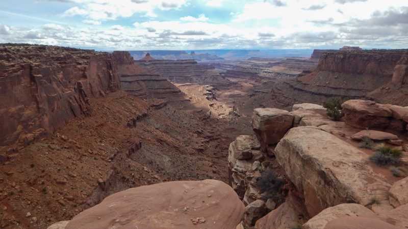
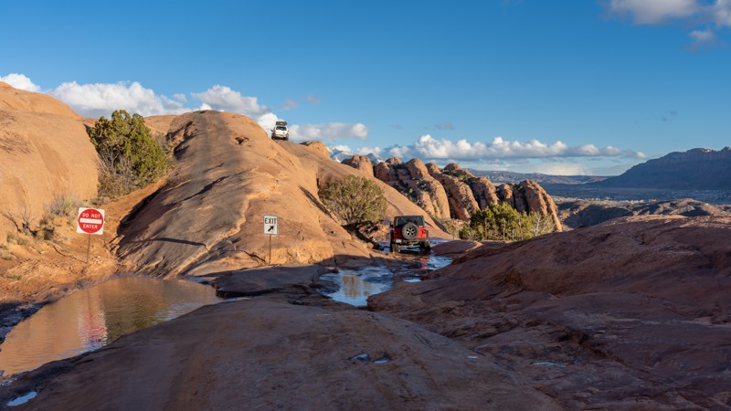
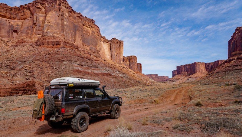
Moab, Utah, is renowned worldwide as a premier destination for offroad enthusiasts. Nestled in the heart of the American Southwest, Moab offers a diverse array of trails that cater to all skill levels. Whether it's an overland or rock crawling adventure you are looking for, this stunning red rock landscape offers 100s of open roads and trails that range from easy to extreme. The area spans over 103,000 square miles and includes lands managed by the Bureau of Land Management, The Manti-La Sal National Forest, Utah State Trust Land, Arches and Canyonlands National Parks, and the Sand Flats Recreation Area.

While the most well-known trails, such as Hell’s Revenge, Fins and Things, Poison Spyder, The White Rim Trail, and the Rimrocker, are typically the main attractions, the area is home to plenty of hidden gems worth exploring.

While visiting and riding the trails, enjoy Arches and Canyonlands National Parks to round out your trip. Plan accordingly because Arches now has a timed entry system from April through November, where you need a permit to enter. It is also important to know that summers can have extreme heat with monsoons, and even though it is a high-plain desert, it can snow in the winter months.

Dispersed camping is limited and only available in designated areas. Each Trails Offroad trail guide lists the various camping opportunities, including BLM’s designated campsites. BLM also manages several campgrounds with vault toilets and picnic tables. Within the town of Moab, you can find various lodging and dining opportunities and repair and maintenance services for your vehicle.


Top Reasons to Explore Here

Basemaps
Go All-Access to Unlock


TRAILS OFFROAD™ TRAIL TYPES
Trail Guide
Full detailed write up with Advanced Rating System, Waypoints, Video, and more.
Scout Route
Lite version with highlights, camping, and hardest part documented. Vetted in person.
TRAIL DIFFICULTY RATINGS
easy (1-2)
Suitable for high clearance 2WD
moderate (3-4)
Best suited for a high clearance 4x4
difficult (5-6)
Best suited for a lightly modified 4x4
severe (7-8)
Best suited for a highly modified 4x4
extreme (9-10)
Best suited for specialized buggy type vehicles
LAYERS

Most Recent Trail Reviews

Most Popular

Search for Trails
Utah: Little Grand Wash Hero Photo
Scout Route Icon
3/5 (3 reviews)
Updated: 04/10/2026

Little Grand Wash

Green River, Utah
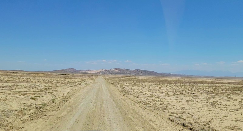
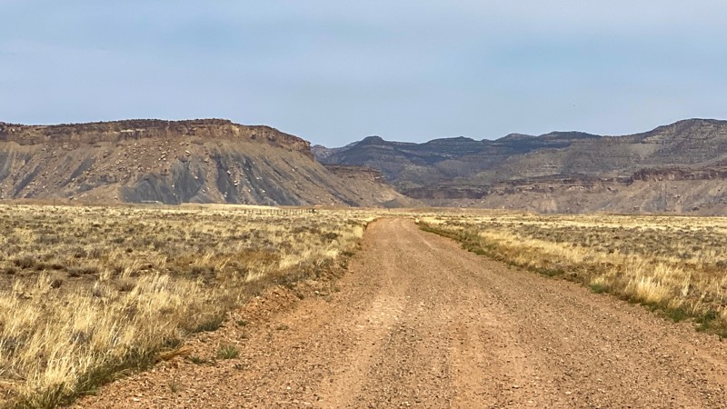
Little Grand Wash is one of the most desolate feeling trails in Utah. The alien-looking landscape appears more moon-like than being on planet earth. The trail is gravel sometimes, then turns to soft powdery grey dust. There are a couple of deep washout trenches that you must drop down into and back up to the other side. These require 4x4 and high ground clearance. The camping is wide open spaces, and flat soft ground is abundant, but no fire rings were found.
Utah: Bird's View Hero Photo
Scout Route Icon
5/5 (2 reviews)
Updated: 07/28/2026

Bird's View

Moab, Utah

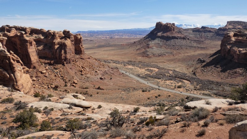
With a Bird's Eye view of the Bird's Eye and Crow's Head Spires, D1234 is an easy way to get to a fantastic overlook of Shafer Canyon and beyond. The trail is perfect for beginners in capable stock 4x4s looking to avoid the more difficult rock crawling trails leading to overlooks. There are vertical rock steps and blind ledges 6-8" tall to navigate. The overlook parking area has been recently updated with fencing and signage for the overlook access. Camping is prohibited on this route, but cliff-edge camping is found on trails D1230 and D1227.

Utah: Horse Canyon Hero Photo
All-Access Icon
5/5 (1 reviews)
Updated: 05/20/2025

Horse Canyon

Monticello, Utah

Desolation and beauty sum up the incredible experience of Horse Canyon. This extension of Salt Creek Canyon in the Needles District provides an incredible day of exploration and solitude, due to the limited number of daily permits. Be sure to take time to explore all of the side hikes and artifacts that this area is known for. Salt Creek Canyon and Horse Canyon offer quite possibly the most intense and undisturbed pictographs in Utah. Always come prepared for such a remote journey, and leave everything as you found it so that the next person can experience all of the same unique history in its well-preserved state.

Utah: Confluence Overlook Hero Photo
Scout Route Icon
5/5 (3 reviews)
Updated: 09/10/2026

Confluence Overlook

null, Utah

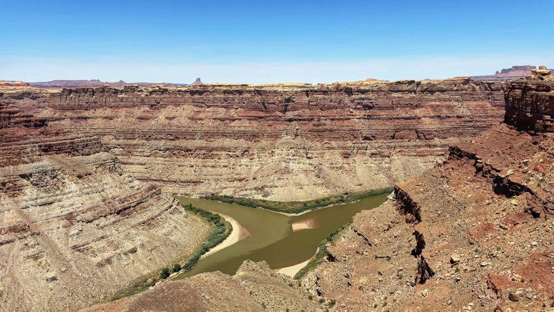
This short 3+ mile side route takes you to within a .5 mile hike of the Green River and Colorado River Confluence Overlook. It's an exceptional viewpoint of the two rivers that separate the three districts of Canyonlands. The trail is mostly smooth dirt with a few short sections of Slickrock that protrude just enough to keep this trail interesting. There are no named obstacles, but a narrow section with a Slickrock fin will require the correct line as it offers no bypass. A picnic table and pit toilet are in the parking area at the trail's end, which makes for a nice lunch stop.

Utah: Dellenbaugh Tunnel - East Alternate Hero Photo
All-Access Icon
4/5 (6 reviews)
Updated: 05/17/2024

Dellenbaugh Tunnel - East Alternate

Moab, Utah

Dellenbaugh Tunnel Trail is fairly well-known, but what is not so well-known are the alternate four-wheel drive routes that can be combined to either get to the Tunnel or be used as a variation on your way back to Moab or camp. This east alternate offroad trail is fun to drive due to the mix of road surfaces, in addition, it provides an impeccable view of Tombstone Rock for almost the entire route.

Utah: Trin Alcove East Hero Photo
Scout Route Icon
5/5 (2 reviews)
Updated: 10/15/2024

Trin Alcove East

Green River, Utah
Is it time to get away from everyone? Take this out and back trail right to the edge of Labyrinth Canyon and the Green River. Once you reach the end, you'll be out on a peninsula high above the river with sheer drops on both sides. You'll have countless vantage points as you hike around Trin Alcove Point, or you can choose to sit at camp enjoying your peaceful surroundings. This easy trail does have a few rocky sections that will require low-range gearing and high ground clearance. The trail is a mix of dirt, soft sand, and easy rock crawling to the very end. The ground at the end isn't the best for tent camping, but there are small areas that could be made to work. This spot is remote, so go over-prepared.
Utah: Hiccup Hills Hero Photo
Scout Route Icon
2.5/5 (2 reviews)
Updated: 10/15/2024

Hiccup Hills

Crescent Junction, Utah

Hiccup Hills is one of those hidden gems in this little-used area of north Moab. The views are massive, and the trail is quite exciting. The trail has a few rock-crawling obstacles and a difficult hill that will push the limits of stock vehicles. The Hiccup Hill climb is short but pretty intimidating. The ground is loose dirt, and large boulders litter the slope before you reach the top, where a cattle gate immediately stops you. A locker or two may be needed on this climb to prevent rolling down into the canyon. No camping was found along this rugged route.

Utah: Tusher Canyon Hero Photo
Scout Route Icon
5/5 (1 reviews)
Updated: 10/15/2024

Tusher Canyon

Moab, Utah
Tusher Canyon travels out and back through a very picturesque hidden canyon. The dead-end sign at the trailhead does its best to keep the crowds out of this gem. When traveling on one of the many more popular routes through the area, be sure to leave extra time to explore Tusher Canyon. You'll encounter mild rock ledges and super soft sand. Nothing more complicated than you've accomplished up to this point of your day on the trail. Please respect this delicate area and find another spot to camp. Camping is not allowed in the Courthouse Pasture area. There is camping on trails to the north or at one of the established campgrounds along Highway 313.
Utah: BLM 2340 Hero Photo
Scout Route Icon
4/5 (1 reviews)
Updated: 10/15/2024

BLM 2340

Spanish Valley, Utah

BLM 2341 is a sandy shortcut trail that makes an excellent "brief" Steel Bender Loop, as it cuts down the middle of the larger, main Steel Bender Loop. The trail offers a few mild challenges as you make your way through a mix of sand hills, rocky climbs, and slickrock ledges. This is a lesser-used trail with spectacular views in all directions. The trail is generally 1 to 1.5 vehicles wide, with plenty of pull-out opportunities to pass oncoming traffic. BLM 2341 trail is suitable for any high clearance 4x4 vehicle with low gearing.

Although dispersed camping is allowed, there are no suitable or existing campsites along this trail.

Utah: Miners Basin Hero Photo
Scout Route Icon
4.3/5 (3 reviews)
Updated: 01/06/2026

Miners Basin

Castle Valley, Utah

This little gem sits just north of the summit of the La Sal Loop out of Moab and takes you up into the true alpine timber and snowpack of the La Sal mountains and to an old west mining ruin that includes an abandoned US Post Office and a small alpine lake. Excellent hiking and views are to be found along the way, and also a roadside overlanding campsite or two. There is some scree, so a 4x4 is ideal, but you'll make it in a 2WD under good conditions. There will be snow up here except in midsummer.

Utah: West Valley City Road Hero Photo
Scout Route Icon
5/5 (1 reviews)
Updated: 10/15/2024

West Valley City Road

Crescent Junction, Utah
West Valley City Road is a dirt road shortcut between exit 175 of I-70 and US 191. This road did have a lot of washboards but could still be traversed pretty quickly. There isn't any camping along this road.
Utah: Staircase Bypass Hero Photo
Scout Route Icon
3/5 (1 reviews)
Updated: 10/15/2024

Staircase Bypass

Moab, Utah

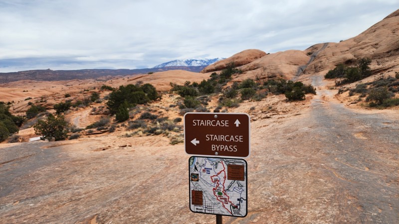
This easy slickrock route is a quarter-mile bypass to the Staircase obstacle on Hell's Revenge. This is a one-way trail, traveling from west to east, starting near the Tip-over Challenge at Waypoint 35 of Hell's Revenge and ending at Waypoint 16. There are no significant obstacles along this route, just a couple of small, less than 6-inch ledges to contend with. It is actually harder to access this little spur than it is to drive it. This section of trail is suitable for any vehicle, but accessing it will require a high clearance 4WD vehicle.
Utah: Above Sevenmile Canyon Hero Photo
Scout Route Icon
3/5 (1 reviews)
Updated: 02/20/2025

Above Sevenmile Canyon

Moab, Utah

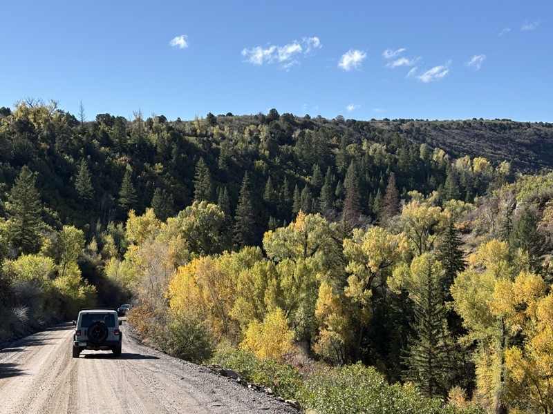
While exploring the Courthouse Pasture region, take this short out-and-back trail leading to a scenic overlook. The out-and-back spur is high above the sweeping s-turns along Highway 313. The trail is easy enough for most stock 4x4s with high clearance and durable tires. There are 6-8 inch rock ledges, loose off-chamber sections, and deep sand. Camping is not allowed in the Courthouse Pasture area. There is camping on trails to the north or at one of the established campgrounds along Highway 313.

Utah: Bunny Hop Hero Photo
Scout Route Icon
5/5 (1 reviews)
Updated: 10/15/2024

Bunny Hop

Crescent Junction, Utah

Starting down Bunny Hop from Blue Hills Road, look for the healthy jackrabbit population in this area. They hop around the rocks, seemingly oblivious to the loud vehicles climbing around the same stones. The trail is a moderate 4x4 challenge with several rocky ledge climbs that may high center low clearance vehicles. The trail is a great "ice-breaker" for beginners to the four-wheeling world. The views from the butte are vast and colorful, especially in the late afternoon sun. There is one campsite at the western trailhead.

Utah: Golden Stairs Hero Photo
Scout Route Icon
4/5 (3 reviews)
Updated: 09/10/2026

Golden Stairs

Hite, Utah

Short but sweet, this easy spur in the Maze District of Canyonlands takes you to the incredible Golden Stairs hiking trail and campsite of the same name. Getting into the park requires 4WD and high clearance, although this trail is an easy winding path. There is only a small amount of parking, so please be aware of keeping on the trail and leaving room for others to enjoy this breathtaking region. All camping in the Maze is by reservation only at Rec.gov.

Utah: D2662 Hero Photo
Scout Route Icon
3.9/5 (8 reviews)
Updated: 07/02/2026

D2662

Crescent Junction, Utah

This semi-maintained trail off Spring Canyon Point is an easy addition while running trails in this area. The toughest sections are rocky inclines, but all should be passable with clearance in good weather. 

Utah: Fisher Mesa Hero Photo
All-Access Icon
2/5 (5 reviews)
Updated: 05/06/2026

Fisher Mesa

Castle Valley, Utah

Fisher Mesa is a scenic trail with one unavoidable tradeoff: great views in exchange for extreme pinstriping. This narrow 4WD trail near Castle Valley winds through tight trees, rocky terrain, and remote mesa country, where tree branch contact is unavoidable in anything wider than 60 inches. Beyond the tight, tree-lined corridors, drivers can expect a slow, scenic backcountry drive with embedded rocks, small ledges, rough sections, and occasional mud, depending on the season. For those willing to accept heavy scars in their clearcoat, the trail rewards with sweeping views toward Castle Valley, Fisher Towers, the Colorado River corridor, and the surrounding red rock country.

Utah: Deadman Spring Hero Photo
Scout Route Icon
4.3/5 (3 reviews)
Updated: 09/29/2025

Deadman Spring

Moab, Utah

Deadman Spring provides a diverse driving experience that includes managing slickrock obstacles through stimulating terrain. It is no wonder that it's part of the popular Easter Jeep Safari Route. It can be used as a short half-day trip from town or a more stimulating diversion if traveling Spring Canyon Bottom Road. At the trail's eastern corner is the namesake Deadman Spring, which you can park to investigate on foot for a quick leg stretch. There is limited camping on this route, all of which falls within the acceptable dispersed camping zones set forth by the Moab Field Office. It is suitable for a high-clearance stock SUV with 4-low gearing.

Utah: Power Pole Rim Hero Photo
Scout Route Icon
4.5/5 (2 reviews)
Updated: 04/08/2025

Power Pole Rim

Dewey, Utah

Power Pole Rim is a multi-section spur off Pole Canyon Rim and leads to a fantastic cliffside overlook high above Hittle Bottom and the Colorado River. The road starts several miles into Pole Canyon Rim before branching off for a short stint, then crossing over Pole Canyon Rim again before dead-ending at the overlook. For the most part, this trail is a fairly easy, rocky, and rough road. This includes the second section of the road that leads to the overlook. However, the first section of the road between the two Pole Canyon Rim intersections is a nasty 30-yard hill climb on an exposed ridge, covered in loose dirt and riddled with multiple 18-inch ledges. This hill requires a lifted vehicle with larger tires. A spotter is recommended, and a good line choice is required.

The trail ends with several campsites along the rim next to the power poles that drop 1,200 feet to the valley floor next to the river. This is a great place to take in a sunset and enjoy the views.

Utah: Spring Canyon North Overlooks Hero Photo
Scout Route Icon
4/5 (2 reviews)
Updated: 10/15/2024

Spring Canyon North Overlooks

Moab, Utah
A straight out and back 2-track that follows a portion of the Secret Spire Easter Jeep Safari Route. This trail leads to the north edge of Spring Canyon and provides a view of the tip of Secret Spire. Traveling out the road has plenty of "whoop de doos" up and over soft and with a few patches of minor rock protrusions in other areas. At the end of the trail, the road surface is white rock.
Utah: D1227 Hero Photo
Scout Route Icon
5/5 (4 reviews)
Updated: 05/28/2026

D1227

Moab, Utah

With breathtaking views above Shafer Canyon, camping at the end of D1227 is a memorable experience. The 1.1-mile out-and-back trail has moderate challenges that require extra ground clearance, 4x4, and durable offroad-type tires. The small rocky ledges can easily highcenter passenger cars and long wheelbase camper vans. The turns through the trees are tight to reach the endpoint on the rim. Camping can be windy, but it's probably worth it.

Utah: Hell's Revenge Sand Flats Exit Hero Photo
Scout Route Icon
3/5 (1 reviews)
Updated: 09/10/2026

Hell's Revenge Sand Flats Exit

Moab, Utah

This is the exit route for those that do not want to run the entire Hell's Revenge loop or need to return to the parking lot within Sand Flats Recreation Area. Running parallel to the entrance fin along a lower fin, this simple 220-yard-long one-way trail provides one last spectacular view of the La Sal Mountains before ending at the Sand Flats entrance station. This trail is suitable for any high clearance vehicle.
Utah: Salt Valley Gorge Road Cutoff Hero Photo
Scout Route Icon
3.6/5 (5 reviews)
Updated: 03/17/2025

Salt Valley Gorge Road Cutoff

Crescent Junction, Utah
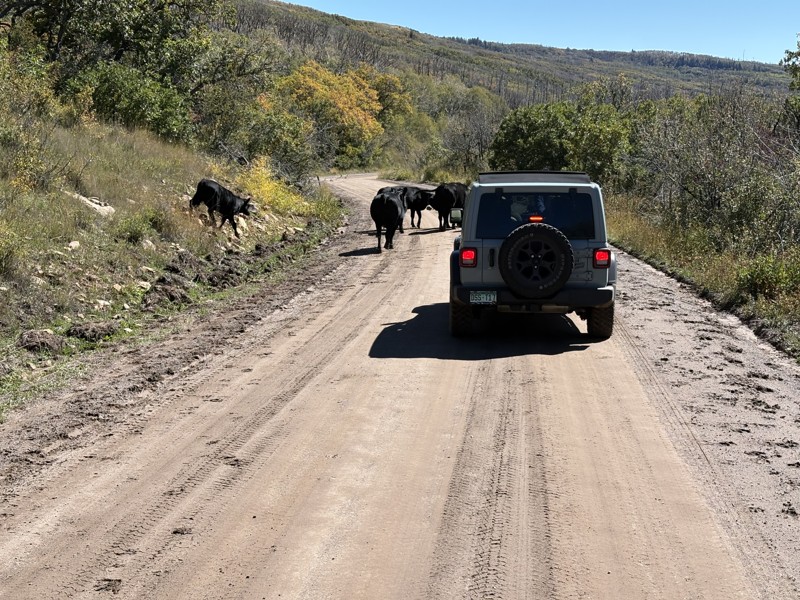
There is only one gas station on I-70 between Highway 191 and Fruita, Colorado. Beginning at that one gas station, Salt Valley Gorge Road Cutoff is a dirt trail southward that connects to other roads leading into Arches National Park and the Moab area. It's an easy graded road with no camping opportunities. The trail is much more interesting if driven from the north to the south.
Utah: Mineral Canyon Road Hero Photo
Scout Route Icon
5/5 (1 reviews)
Updated: 09/29/2025

Mineral Canyon Road

Moab, Utah

The steep rock canyon walls and surrounding desert landscapes that line Mineral Canyon Road are reminiscent of panoramic images from the Old Wild West. This is the natural elegance of Utah at its best. Starting near the end of Mineral Bottom Road, Mineral Canyon Road follows this gorgeous canyon for 1.6 miles. Although evidence of mining activity is sparse, Mineral Canyon was once the site of uranium mines in the 1950s. Along the Green River near the trailhead of Mineral Canyon Road is a small sandy airstrip occasionally used by backcountry pilots seeking adventure.

Heavy rain and high water from the nearby Green River can limit access to the Mineral Canyon. Be prepared for the potential of extreme backcountry conditions.