Region

Moab

Utah

Offroad Trails in Moab

A Region within Utah
4.5/5 (2931)

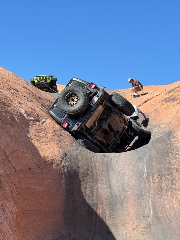
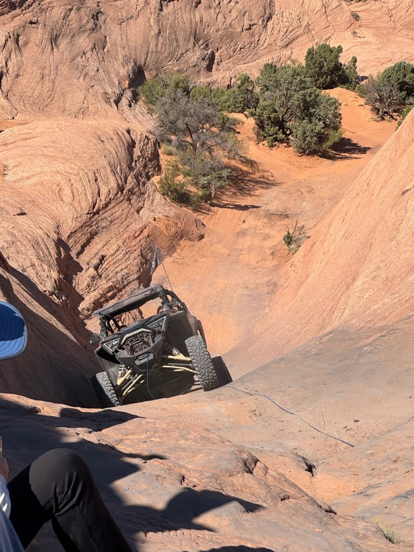
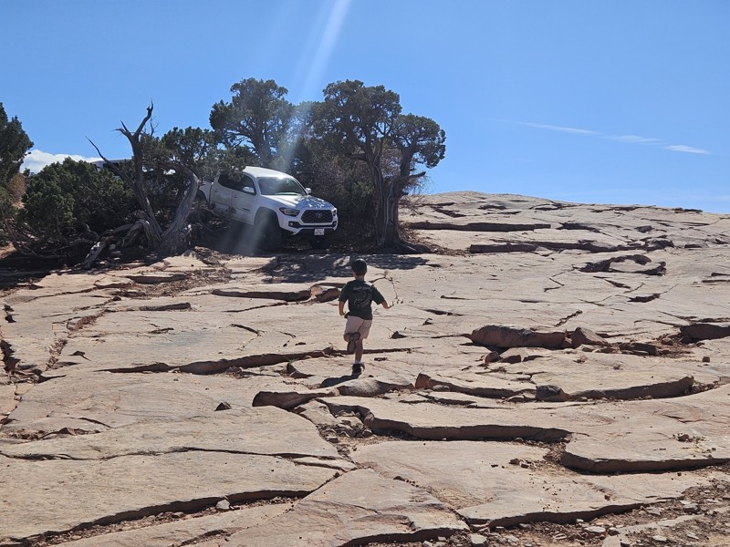
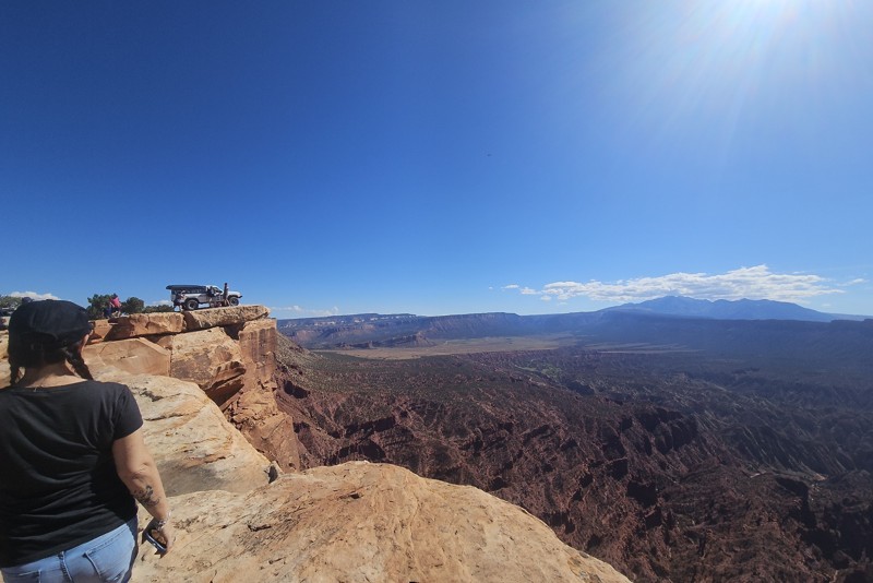
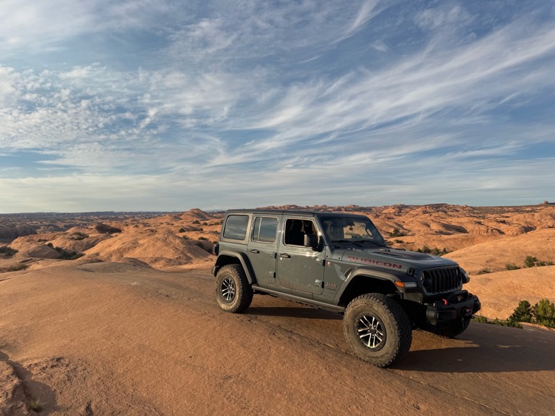
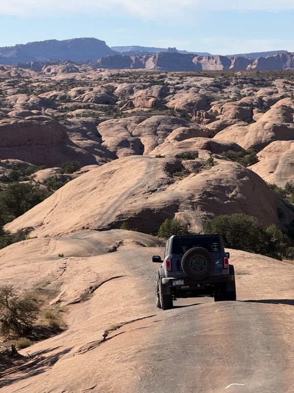
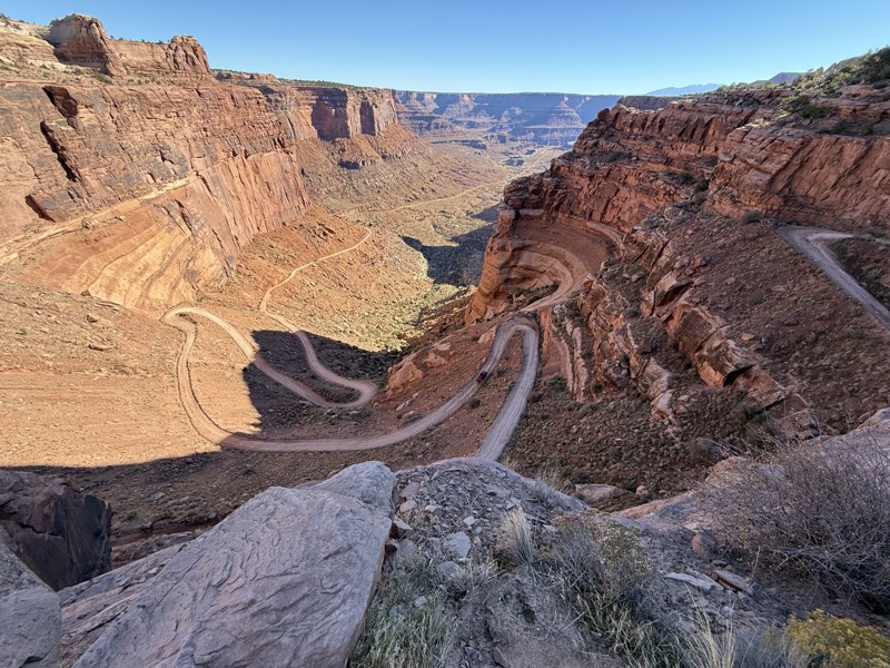
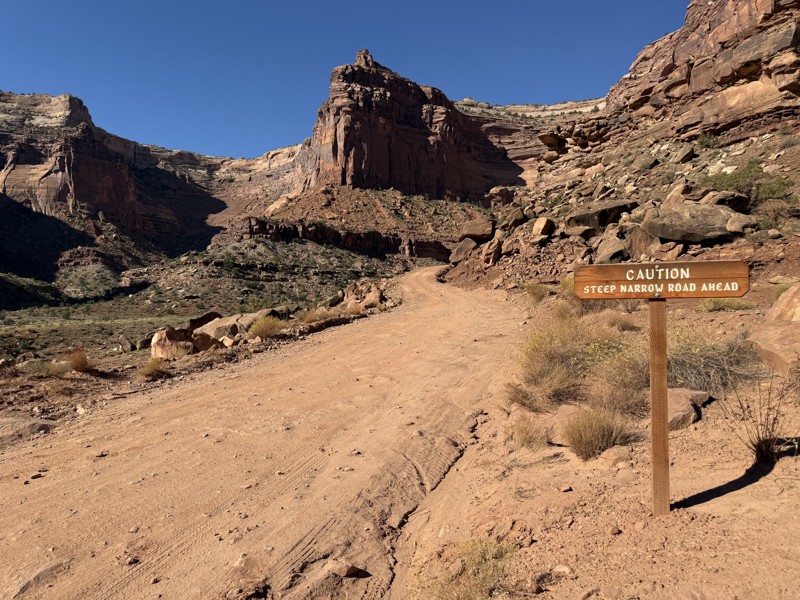
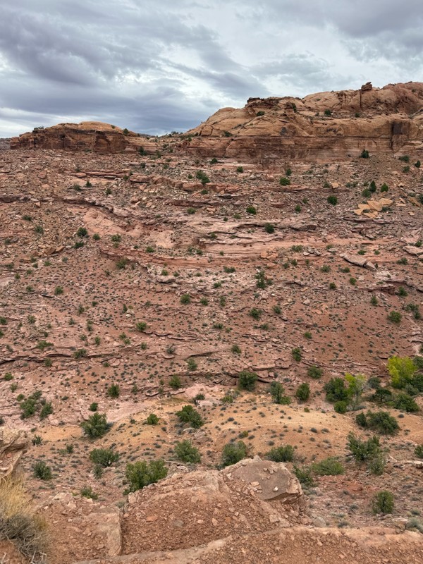
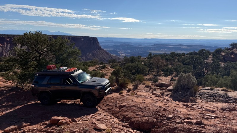
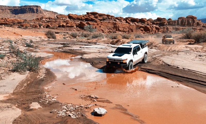
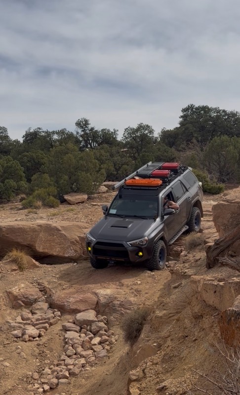
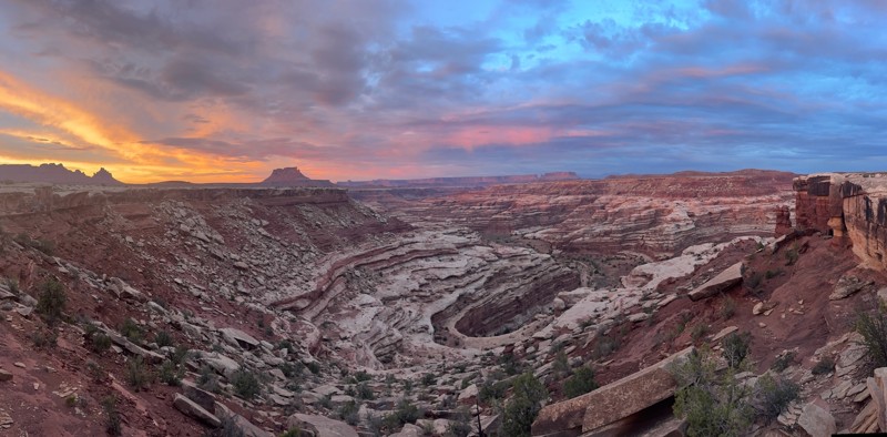
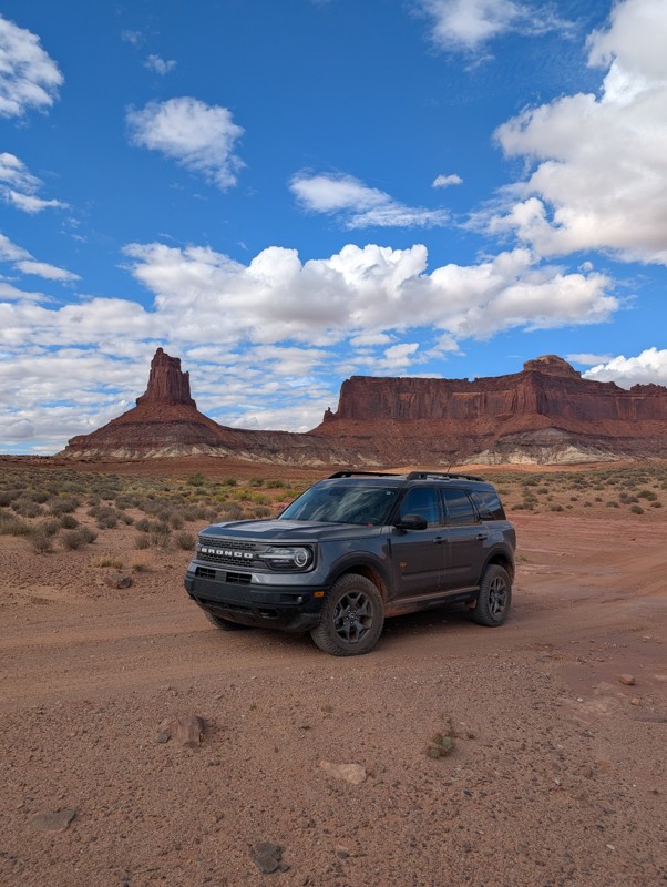
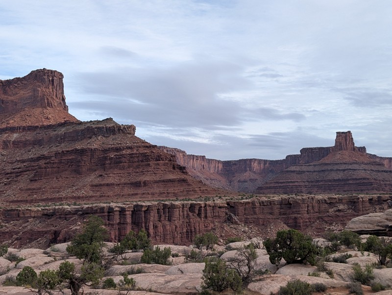
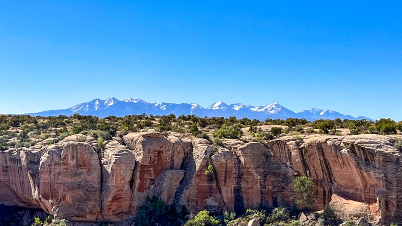
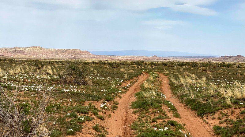
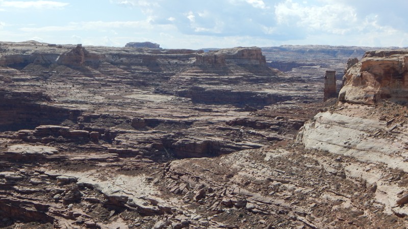
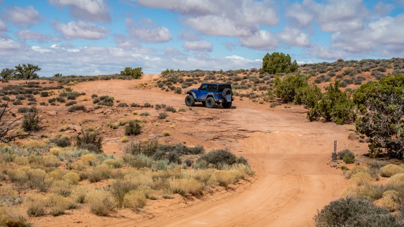
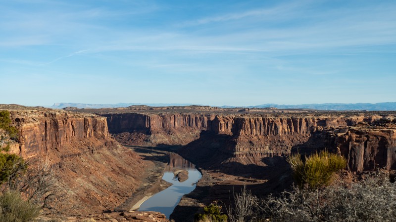
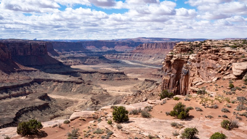
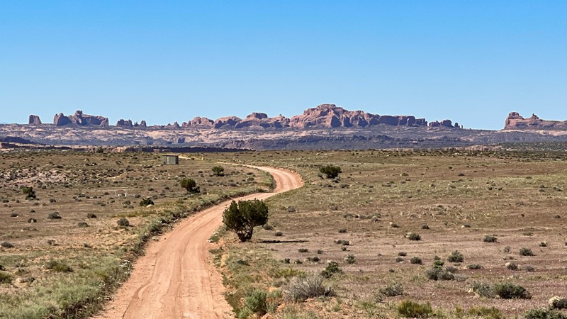
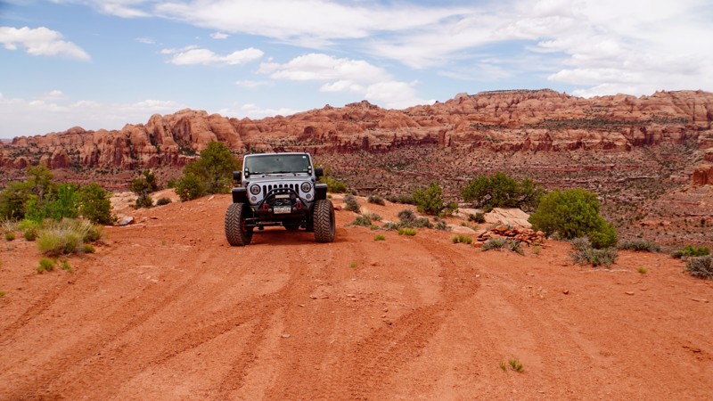
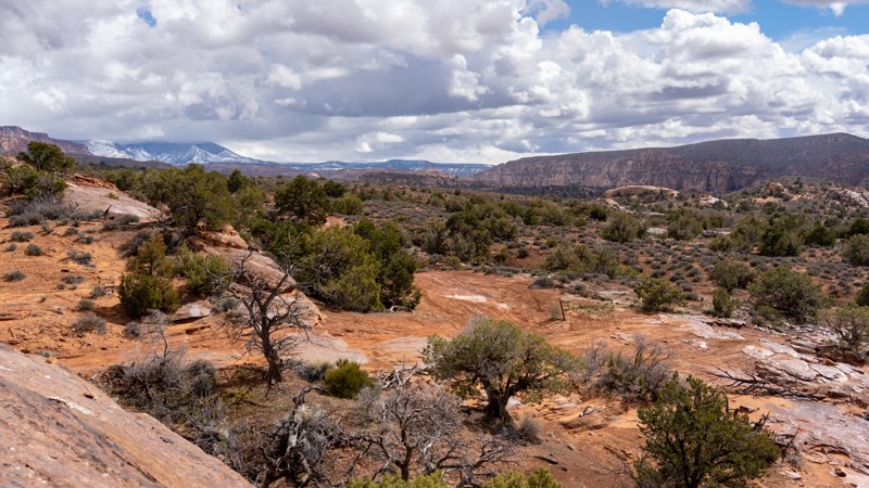
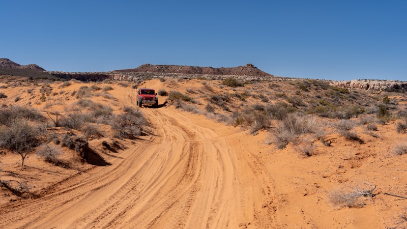
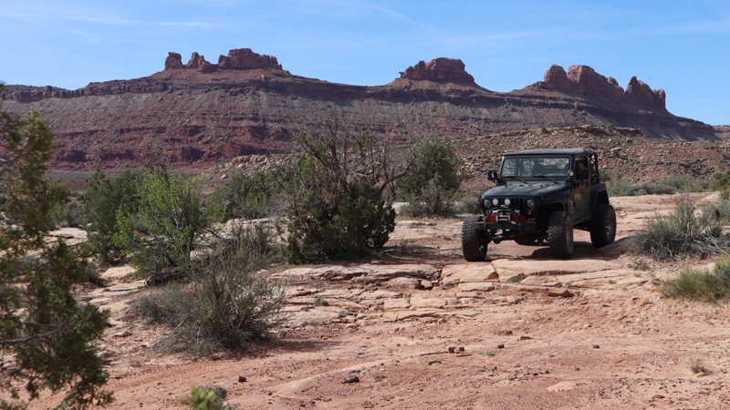
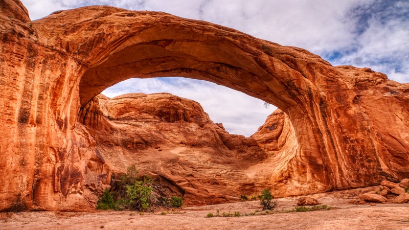
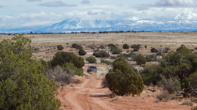
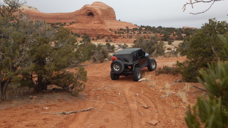
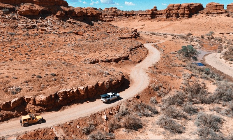
Moab, Utah, is renowned worldwide as a premier destination for offroad enthusiasts. Nestled in the heart of the American Southwest, Moab offers a diverse array of trails that cater to all skill levels. Whether it's an overland or rock crawling adventure you are looking for, this stunning red rock landscape offers 100s of open roads and trails that range from easy to extreme. The area spans over 103,000 square miles and includes lands managed by the Bureau of Land Management, The Manti-La Sal National Forest, Utah State Trust Land, Arches and Canyonlands National Parks, and the Sand Flats Recreation Area.

While the most well-known trails, such as Hell’s Revenge, Fins and Things, Poison Spyder, The White Rim Trail, and the Rimrocker, are typically the main attractions, the area is home to plenty of hidden gems worth exploring.

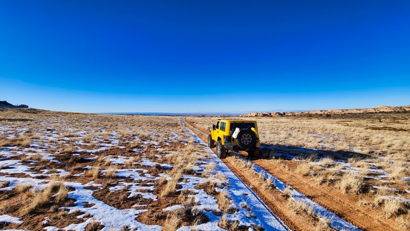
While visiting and riding the trails, enjoy Arches and Canyonlands National Parks to round out your trip. Plan accordingly because Arches now has a timed entry system from April through November, where you need a permit to enter. It is also important to know that summers can have extreme heat with monsoons, and even though it is a high-plain desert, it can snow in the winter months.

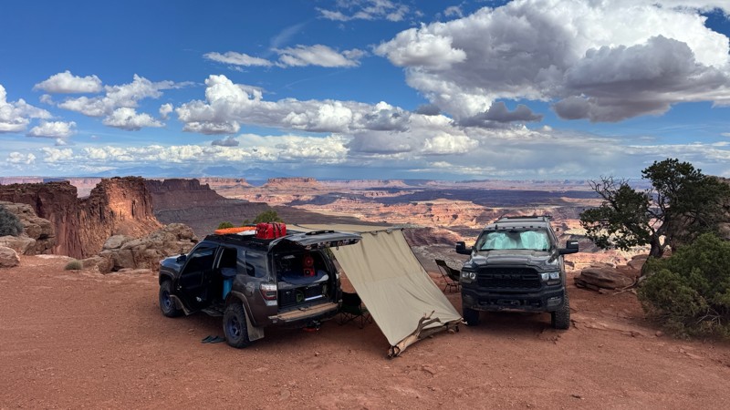
Dispersed camping is limited and only available in designated areas. Each Trails Offroad trail guide lists the various camping opportunities, including BLM’s designated campsites. BLM also manages several campgrounds with vault toilets and picnic tables. Within the town of Moab, you can find various lodging and dining opportunities and repair and maintenance services for your vehicle.


Top Reasons to Explore Here

Basemaps
Go All-Access to Unlock


TRAILS OFFROAD™ TRAIL TYPES
Trail Guide
Full detailed write up with Advanced Rating System, Waypoints, Video, and more.
Scout Route
Lite version with highlights, camping, and hardest part documented. Vetted in person.
TRAIL DIFFICULTY RATINGS
easy (1-2)
Suitable for high clearance 2WD
moderate (3-4)
Best suited for a high clearance 4x4
difficult (5-6)
Best suited for a lightly modified 4x4
severe (7-8)
Best suited for a highly modified 4x4
extreme (9-10)
Best suited for specialized buggy type vehicles
LAYERS

Most Recent Trail Reviews

Most Popular

Search for Trails
Utah: Behind the Rocks Spur Hero Photo
Scout Route Icon
2/5 (1 reviews)
Updated: 10/15/2024

Behind the Rocks Spur

Spanish Valley, Utah
This is one of many spur roads that connects Behind The Rocks Trail with Behind The Rocks Road. It is fairly narrow throughout the entire trek and appears to be seldom used. It is an easy but scenic route and offers one or two tent or vehicle campsites. If you are coming from Pritchett Canyon and looking for the fastest route to White Knuckle Hill, use this route.
Utah: Behind the Rocks Trail Cutoff Hero Photo
Scout Route Icon
4/5 (2 reviews)
Updated: 05/08/2025

Behind the Rocks Trail Cutoff

Spanish Valley, Utah

Providing excellent views of the Behind the Rocks Wilderness Study area, this road is an alternate route to Tukuhnikivatz Arch. You can also use it to bypass the Guardian on Behind the Rocks Trail. Comprised of dirt and protruding rock, it is a very rough drive. While being rough, there are no notable obstacles. Camping is prohibited.

Utah: Along The River Hero Photo
Scout Route Icon
5/5 (2 reviews)
Updated: 03/09/2026

Along The River

Green River, Utah
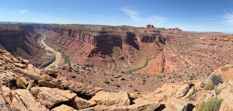
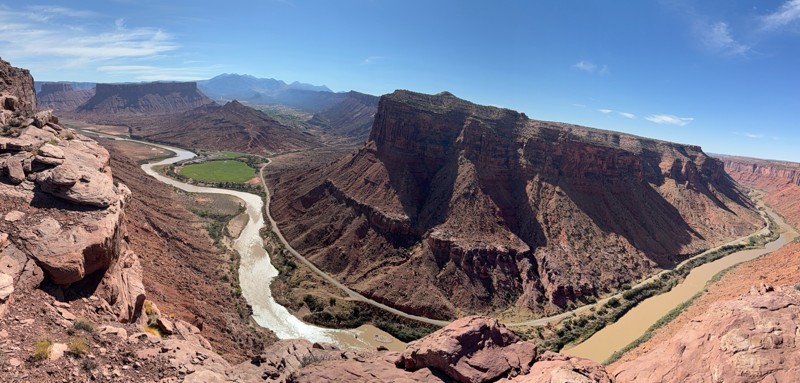
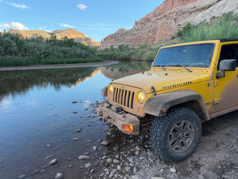
At the end of Salt Wash North, there is a beautiful 4x4 trail that travels along the banks of the Green River. The trail is ideal for experienced drivers with a high clearance 4x4 and durable off-road tires. The trail has one challenging hill climb with an off-camber rocky ledge at the top. Low range gearing is needed to climb the hill safely. There are a few level open dirt areas where camp can be set up along the river. Please purchase firewood in town; there is no firewood in the desert. The trail is most difficult when driven north to south.
Utah: Pipeline Road to Cordova Canyon Hero Photo
Scout Route Icon
3/5 (1 reviews)
Updated: 10/15/2024

Pipeline Road to Cordova Canyon

Dewey, Utah
Hard-packed dirt gives way to deep soft sand that gives way to protruding rock. This short out and back road ends right at the edge of Arches National Park with great views down into Cordova Canyon. An unsightly gas compressor station and natural gas line markers lead the way. Be wary of the short stretch of deep sand after windstorms. One potential camp location at the beginning of the trail.
Utah: Long Valley Hero Photo
Scout Route Icon
5/5 (1 reviews)
Updated: 10/15/2024

Long Valley

Thompson Springs, Utah
Traveling through what is known as Long Valley, this road runs somewhat parallel with the northern border of Arches National Park, separated by less than a mile at one point. Mostly a two-track with plenty of little dips, the driving is exciting, and the scenery is spectacular. White rock with juniper growing forth, patches of red rock, mining ruins, and ancient Native American pictographs provide sensory overload. There are a few good campsites.
Utah: 10 Mile Canyon Overlook Hero Photo
Scout Route Icon
5/5 (2 reviews)
Updated: 10/15/2024

10 Mile Canyon Overlook

Green River, Utah
10 Mile Canyon Overlook is a short side trail leading to a fantastic overlook with camping. Take a beautiful journey out to one of Moab's most breathtaking overlooks. 10 Mile Point starts as a maintained graded dirt road but ends on the rim, 400 feet above the Green River. The further you travel on this trail, the rougher it gets. There are several very bumpy sections, and towards the end, there is mild "rock crawling." You will need high clearance and possibly 4x4 for the soft sand or if you become high centered on a rock. This area is remote and not very busy; go over-prepared.
Utah: Fruit Bowl Access Trail Hero Photo
Scout Route Icon
3/5 (1 reviews)
Updated: 10/15/2024

Fruit Bowl Access Trail

Moab, Utah

Located off Mineral Bottom, D1168 is a 1.5-mile-long dead-end trail that leads to the Utah mecca of Highline, the Fruit Bowl Highline area. This rutty, rough, and chunky slickrock trail leads past a dozen designated camping areas and ends at a large parking lot with a pit toilet. This popular area plays host to the annual GGBY Highline Festival around Thanksgiving. A short, half-mile hike from the parking lot leads to a cliffside where highliners, base jumpers, and rope swingers enjoy amazing views against the backdrop of Utah's red rock canyons. Camping along the trail is only allowed in designated spots. This trail is best suited for high clearance 4WD vehicles. Airing down is unnecessary but dramatically improves your comfort while driving the trail.

Utah: D1511 Hero Photo
Scout Route Icon
4/5 (2 reviews)
Updated: 12/02/2025

D1511

Moab, Utah
A soft dirt road gives way to protruding rock, revealing views of Bowknot Bend. Towards the end, there is an intimidating ramp, but relatively simple to drive. Although Gaia GPS shows campsites at the end, they are not all accommodating.
Utah: Taylor Canyon Overlook Hero Photo
Scout Route Icon
5/5 (2 reviews)
Updated: 07/29/2026

Taylor Canyon Overlook

Moab, Utah

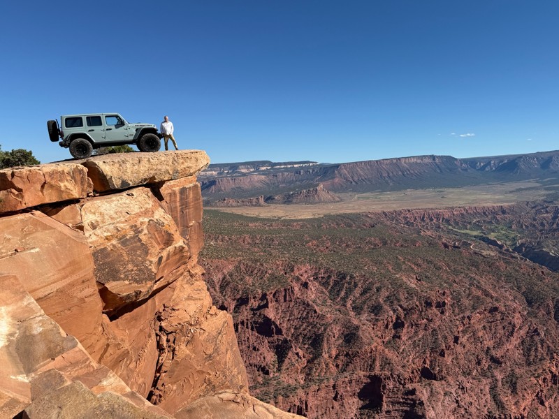
D116 is a 1.6-mile dead-end spur road off Mineral Bottom, ending at an incredible overlook of Taylor Canyon and the Canyonlands National Park. The trail passes a cattle grazing area and travels across several dry desert washes. The terrain is a mix of sand and rock, extremely rough and bumpy, with one 10"-12" slickrock ledge you will need to contend with. As you get closer to the trail's end, the sand becomes more widespread, substantially softer, and deeper. The cliffside ending is highly scenic, with epic views of Buck Mesa, the Colorado River, Taylor Canyon, and the Taylor Canyon Road. The road has two campsites on the plateau along the drive, with an additional 3-4 campsites near the rim edge, depending on how close you want to squeeze to your neighbor. The campsites are best for vehicle camping, rooftop tents, ground tents, and small offroad trailers. Large tents will have a hard time finding usable space.

The rough and rocky terrain makes using a high clearance, 4WD vehicle prudent.

Utah: Lost Springs Road Hero Photo
Scout Route Icon
3/5 (3 reviews)
Updated: 10/08/2026

Lost Springs Road

Dewey, Utah
A wide graded dirt road with great views of the Arches National Park and the La Sal Mountains provides a northern gateway into the Dome Plateau area. Where this road ends, two spurs lead to views down into Cordova Canyon or Lost Spring and the Lost Spring Wilderness Study Area. Several BLM D road spurs are marked with signs stating "Designated Route" throughout the road. Limited camping.
Utah: Upper Hunter Rim Hero Photo
Scout Route Icon
5/5 (1 reviews)
Updated: 10/15/2024

Upper Hunter Rim

Spanish Valley, Utah

This is a scenic, moderate alternative route to the middle section of the Behind the Rocks trail, which follows the upper rim of Hunter Canyon. It offers excellent views across the canyon into the Behind the Rocks Wilderness Study area and great dispersed campsites.

The route starts just after climbing out of the wash with the "High Dive" obstacle on the Behind the Rocks trail, with a right turn on a lesser-used track that winds around to the north to the rim of Hunter Canyon. From there, it follows the canyon rim for a while before dead-ending at a spectacular viewpoint/campsite on a point sandwiched between the canyon rim and a tall slickrock fin. Doubling back from there and turning right, you pass through a flat area at the base of more slickrock fins with additional dispersed camping opportunities. Turn right again to follow an easy sandy track that parallels the Behind the Rocks trail across a state trust land parcel, skirting the base of some sandstone cliffs before ultimately rejoining the Behind the Rocks trail just before Hummer Hill.

This route receives significantly less traffic than the main Behind the Rocks trail, and is much easier, with only a few moderate rock-ledge obstacles. It can be an easier bypass to the Vertical Ledges obstacle at Waypoint 16 of Behind the Rocks. Multiple dispersed campsites can be found near the trail's northernmost point, though the one at the main viewpoint is very exposed to wind. More sheltered campsites can be found amid the tangle of short spur trails further back from the rim.

Utah: BLM 2341 Hero Photo
Scout Route Icon
2/5 (1 reviews)
Updated: 09/10/2026

BLM 2341

Spanish Valley, Utah

BLM 2341 is a short spur road off of the Steel Bender loop. The trail travels over soft sand and sections of slickrock. The road is bumpy in places but very easy and can be completed by any high clearance vehicle. The trail is only one-vehicle wide the entire way, but there are many places to pull off and pass oncoming traffic. The trail offers fantastic views of the La Sal Mountains and passes unique rock formations.
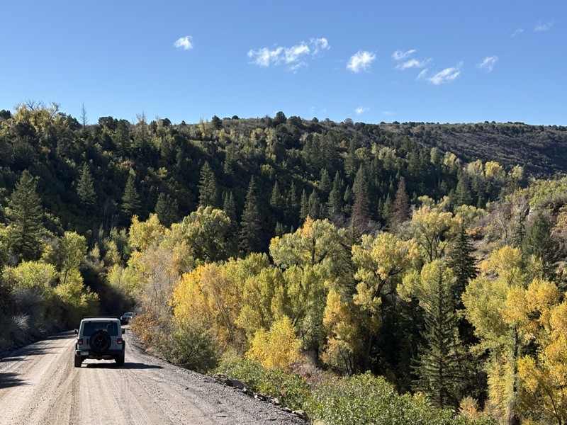
Although dispersed camping is allowed, there are no suitable or existing campsites along this trail.

Utah: Tusher Road Hero Photo
Scout Route Icon
2.5/5 (3 reviews)
Updated: 04/22/2026

Tusher Road

Moab, Utah

Tusher Road, an easy C-shaped connector, starts and ends along Tusher Canyon. The trail's southern half is a small section of the 3D Jeep Safari Route and passes trail D2482. The trail has long, soft sandy sections with small softball-sized rocks peppered randomly throughout. The only obstacle along the trail is a short, jagged rock ledge with multiple lines, including a smooth drive over two tabletop-sized sandstone slabs.

The trail is suitable for any high clearance vehicle.
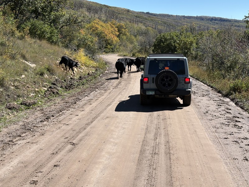
There is no camping along this trail. Camping in this area is limited to designated dispersed spots only. Several designated sites are located along Cotton Mine Road.

Utah: Lower Salt Wash Hero Photo
Scout Route Icon
5/5 (1 reviews)
Updated: 10/15/2024

Lower Salt Wash

Green River, Utah
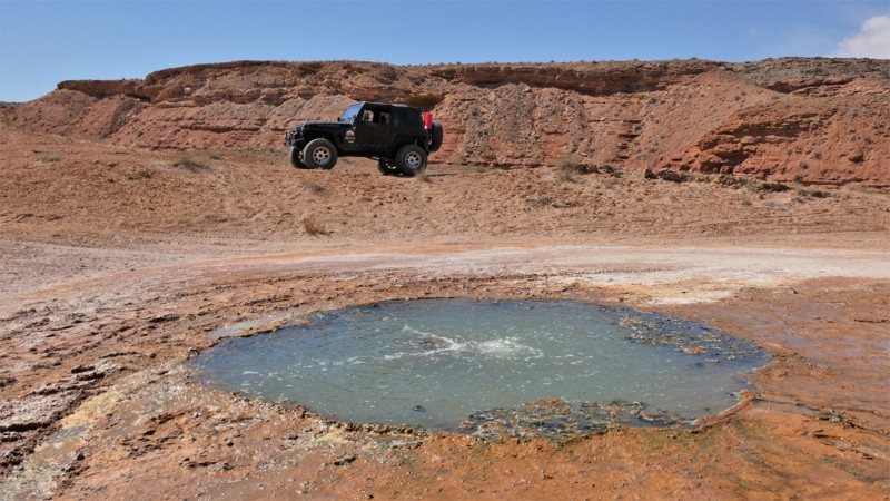
Lower Salt Wash is a moderate 4x4 trail that travels to a natural geyser and the banks of the Green River. The trail begins as a rough rocky wash before a short spur trail leading to "The Other Geyser." Unlike the more popular Crystal Geyser, this particular geyser has been left natural. No information was found about the geyser activity or history. After returning to the main route, you'll wind your way through Salt Wash down to the muddy banks of the Green River. The shoreline at the end is a wonderful place to bird-watch or simply watch the water flowing by.
Utah: Wind Whistle Rock Hero Photo
Scout Route Icon
4/5 (1 reviews)
Updated: 10/15/2024

Wind Whistle Rock

La Sal, Utah

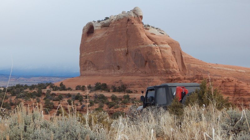
Capturing the wind in its deep alcove carved into the sandstone cliff 200' above, Wind Whistle Rock is truly a unique natural wonder. As you travel up this sandy 4x4 two-track, the cliff and the deep hole begin to take shape. You can understand how it got its name using a little imagination. The trail is ideal for beginners with high-clearance 4x4s looking to add a little adventure compared to paved roads. You'll need durable tires and ambition to travel to the end, where you're rewarded with remnants of an old signal tower from the early settlers and fantastic views of the La Sals. There was camping at the end, with room for 2 to 3 vehicles with tents.

Utah: D1230 Hero Photo
Scout Route Icon
4.3/5 (3 reviews)
Updated: 05/28/2026

D1230

Moab, Utah

Of the three spur trails leading to the overlooks of Shafer Canyon, D1230 is the easiest to reach and has a couple of primitive campsites to choose from. The trail leads out and back to a magnificent view of the canyons and rock spires below. The trail is a mix of dirt and rock with a couple of spots requiring flexy suspension and high ground clearance. Low-range gearing and durable tires help ensure safe travel to the overlook and camping area. The trail ends in the trees with a couple of rock fire rings dispersed around the area. Please help preserve the area and do not create new campsites. Wood gathering is prohibited, and you must remove all human waste from the area.

Utah: Little Mountain Hero Photo
Scout Route Icon
3/5 (1 reviews)
Updated: 10/15/2024

Little Mountain

Crescent Junction, Utah

Little Mountain is a very lightly used, difficult 4x4 trail hidden within the colorful hills of central Utah. The trail's challenges and views make for a fun and memorable day of wheeling. The route winds through a rocky canyon with narrow ledges, deep washed-out ruts, and one very rocky hill. You'll need high clearance, 4x4 low range, and durable offroad tires. A locker may be required to climb the rocky ledge hill midway through the trail. There was limited camping found in this rugged desert environment.

Utah: Black Ridge 4714 Hero Photo
Scout Route Icon
3/5 (2 reviews)
Updated: 10/15/2024

Black Ridge 4714

La Sal, Utah

Black Ridge is a moderate connector trail with sprawling views of the Manti-La Sal Mountains. This mild 4x4 trail is perfect for the adventurous type seeking lesser-used paths. Connecting with Slaughter Flats 78 creates a scenic and historical tour of this little-used area south of Moab, Utah. The trail is a mix of dirt and graded rock, with a few mild hills. Portions of the trail are slow going and bumpy, and the brush will become very tight once you climb into the trees. No established primitive campsites were found along this route, but the other connecting trails offer sites with mountain views.

Utah: West Arths Rim Hero Photo
Scout Route Icon
5/5 (2 reviews)
Updated: 01/12/2026

West Arths Rim

Moab, Utah

West Arths Rim is a scenic and rarely visited side spur off the Metal Masher Jeep Safari trail, which leads out to a spectacular scenic overlook looking down on Highway 313 and across to Seven Mile Rim. Prior to the trail closures in 2023, it formed a loop with another road that followed the cliff tops along Arths Rim back around to connect to Metal Masher, but that road was closed. Now, it is just an out-and-back spur accessed from the optional Widow Maker branch of Metal Masher. This route splits off before the actual Widow Maker Hill and the portion of the Widow Maker trail between it and the eastern junction with Metal Masher is easy, so any vehicle can reach it. While the trail is mostly rocky with broken slickrock, there are no real obstacles, and any 4x4 should be able to drive it.

The trail starts at an unmarked and easy to miss intersection in a grassy meadow that may be overgrown. It then descends into and crosses a small valley before climbing up the ridge to Arths Rim. The final climb to the edge of the rim crosses a large slickrock slab with scraped aside rocks marking the path. The road reaches the rim at a spectacular overlook marked with a large rock cairn. This is the main attraction of the trail, with views looking out the opening of Seven Mile Canyon along Highway 313 and to the east up Box Canyon and across to Heatwave Butte.

The road actually continues a short distance past the main overlook, turning back to the west, where it dead-ends at a flat parking area. You can park here and then walk a short distance out to the end of the point, which has amazing views up and down Seven Mile Canyon and some fun rock scrambling. While this spot would make a great campsite, camping is prohibited along most of this trail except near the beginning at the junction with the Widow Maker trail.

Utah: Zephyr Loop Hero Photo
Scout Route Icon
3/5 (1 reviews)
Updated: 04/24/2026

Zephyr Loop

Moab, Utah

Easily following along Sevenmile Canyon, Zephyr Loop travels across very mild Moab terrain, while offering wonderful views. Stock-type 4x4s, with high ground clearance, can traverse along the northern edge of the scenic Sevenmile Canyon. The trail has small rock steps and a long stretch in a sandy wash. The sand can be soft, at times, requiring the use of four-wheel drive. For a short while, you will travel into the Arches National Park; no fee is required. No established campsites are found along the route.

Utah: Pritchett Arch Trailhead Hero Photo
Scout Route Icon
4/5 (1 reviews)
Updated: 10/15/2024

Pritchett Arch Trailhead

Moab, Utah

This short spur off the Pritchett Canyon trail leads to the hiking trailhead for the majestic Pritchett Arch, which is approximately a half-mile hike away. You can also see Cummings Arch on the way to Pritchett Arch, though it is less impressive as it is more of a skylight than an arch. Pritchett Arch is similar to Corona Arch but larger and without the crowds. Because this area is so remote, you will likely be the only one there.

This road can be accessed without driving the major obstacles of Pritchett Canyon. To reach the start of the trail, come in on Behind the Rocks Road, which is itself a difficult level trail past the end of the Behind the Rocks safari trail. The road to the Pritchett Arch trailhead is mostly an easy sand road. However, there is one large, roughly two-foot ledge on the loop in the parking area at the end that can catch you by surprise when leaving. Though most people would only park along this road for day hiking, the trailhead is in a sheltered area that would also make a good campsite. This trail is suitable for any high clearance vehicle.
Utah: West Secret Spire Hero Photo
Scout Route Icon
3/5 (2 reviews)
Updated: 07/06/2026

West Secret Spire

Crescent Junction, Utah

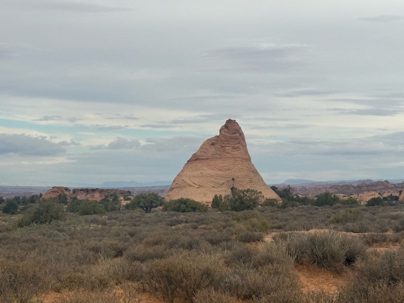
West Secret Spire runs between Spring Canyon Point and BLM 338 North. The road is unmaintained by the BLM and connects to the network of trails in this area along the Green River. This trail isn't difficult and is a great way to see the scenery in the area while likely not running into anyone.

Utah: D1228 Hero Photo
Scout Route Icon
0/5 (1 reviews)
Updated: 10/15/2024

D1228

Moab, Utah

D1228 is a vital connector when exploring all the scenic overlooks or looking for the perfect campsite. The trail has a couple of challenges for 4x4 vehicles. There are vertical rock ledges that require low-range gearing and clearance. The challenges are few and ideal for stock-type 4x4 vehicles driven by less experienced drivers. One small campsite with room for a single vehicle sits along the route. Additional camping at the end of the overlook spur trails has fantastic views above Shafer Canyon.
Utah: Bobby's Hole Overlook Hero Photo
Scout Route Icon
2/5 (1 reviews)
Updated: 12/27/2024

Bobby's Hole Overlook

La Sal, Utah

This easy 0.75-mile trail is a moderate 4x4 trail with tight brush leading to the edge of Bobby's Hole Canyon, where you can see Bobby's Hole, an alcove in the sandstone cliffs. The trail has rock and sandy challenges for stock 4x4s along this twisting trail through the trees. The trail offers unobstructed views of Wind Whistle Rock, a unique natural arch formed on the cliff. No camping is allowed on this route. However, the nearby Wind Whistle Campground has 15 individual campsites and access to a one-mile nature hike.