Region

Moab

Utah

Offroad Trails in Moab

A Region within Utah
4.5/5 (2931)

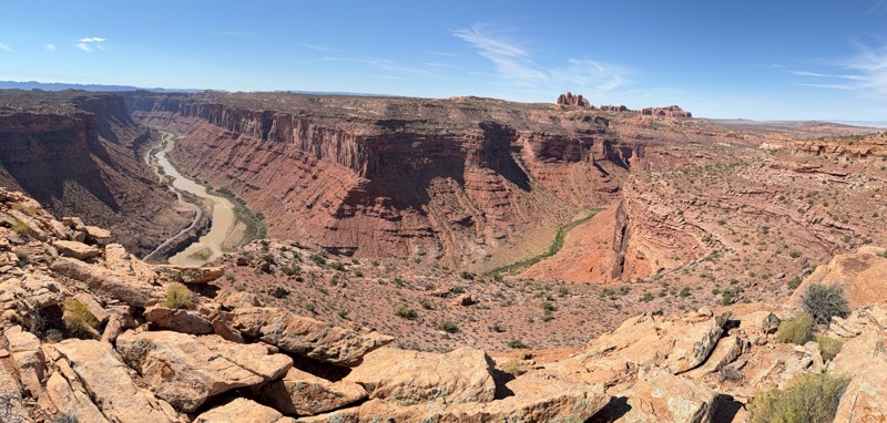
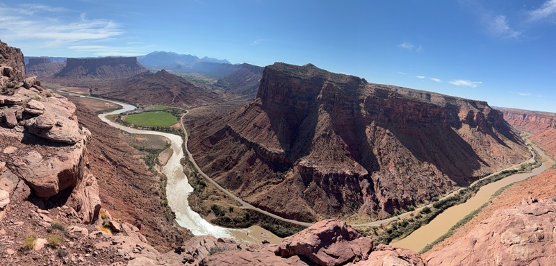
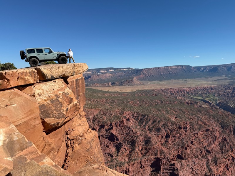
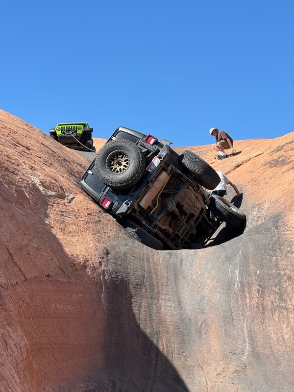
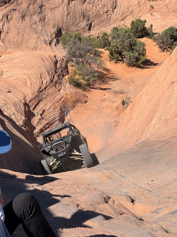
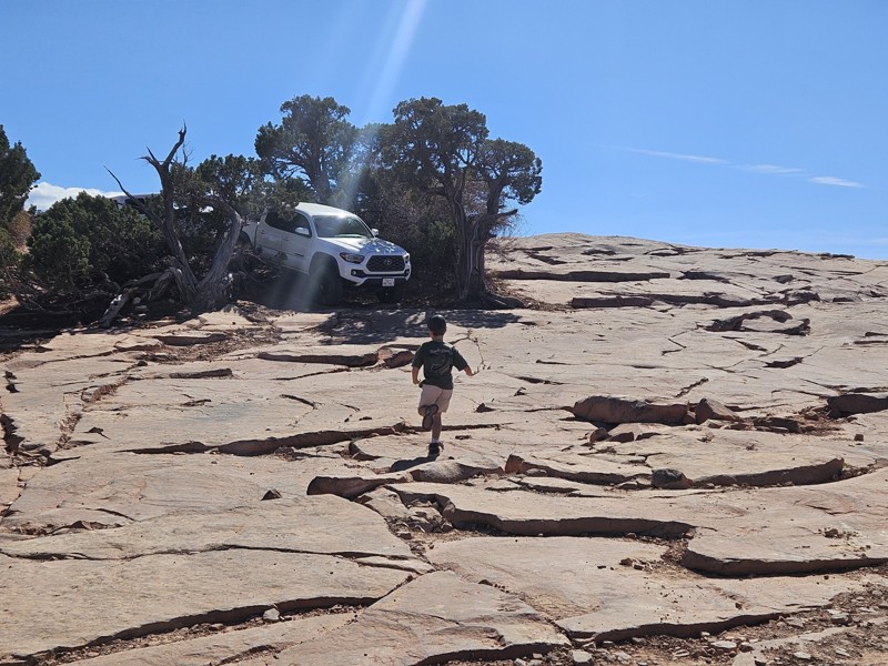
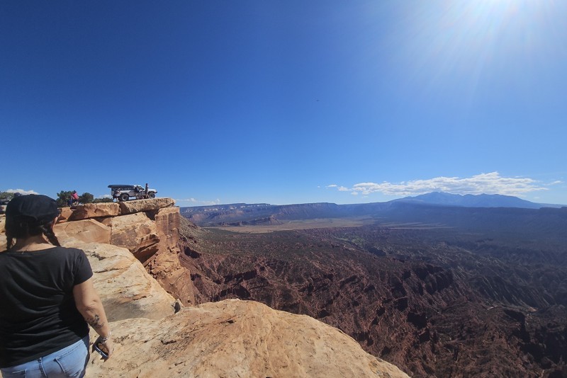
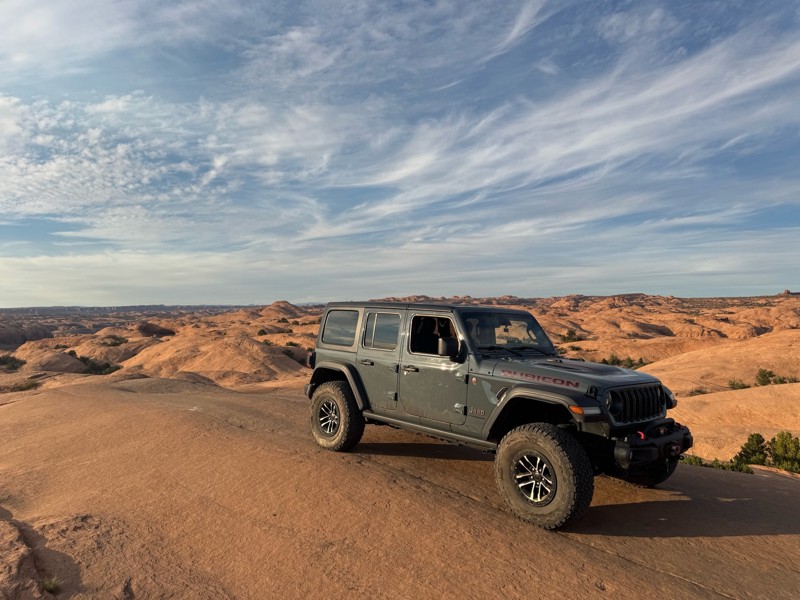
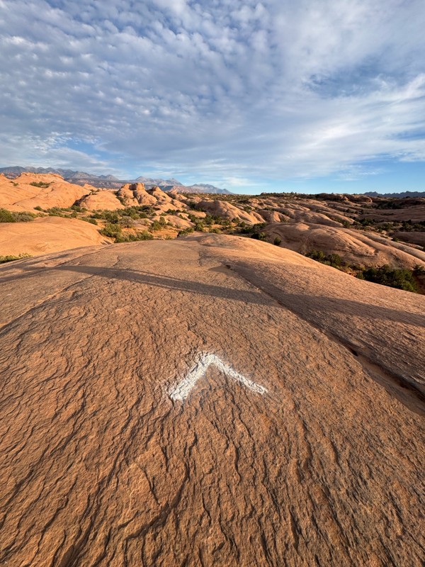
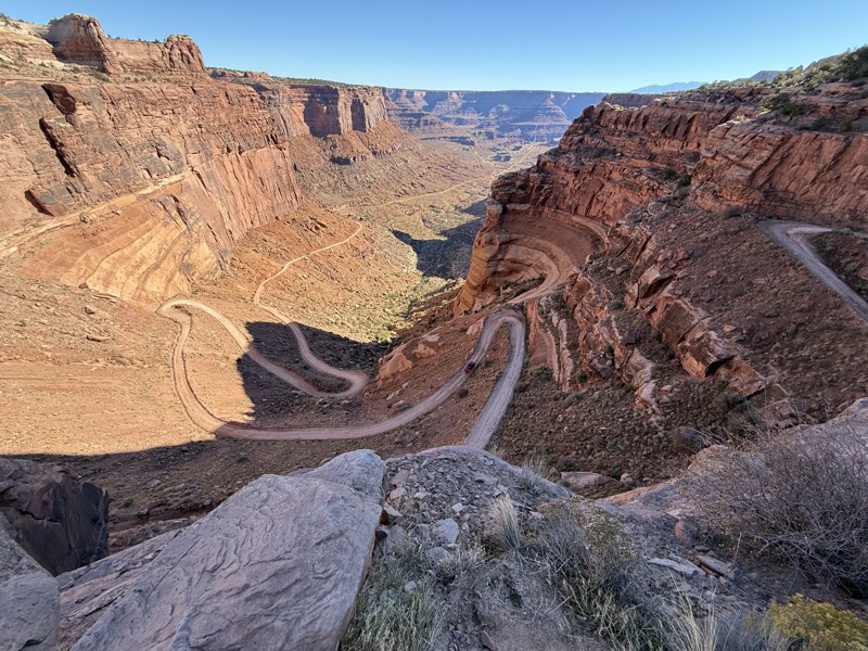
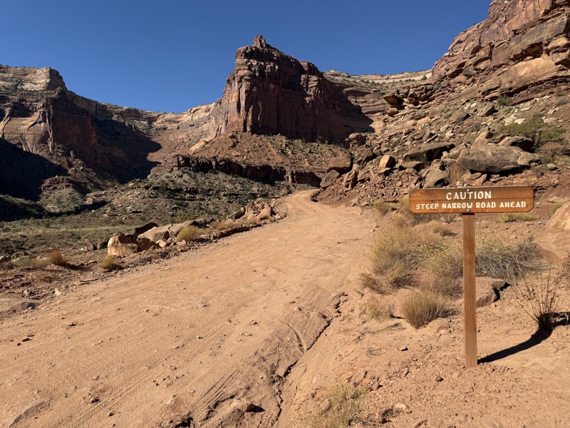
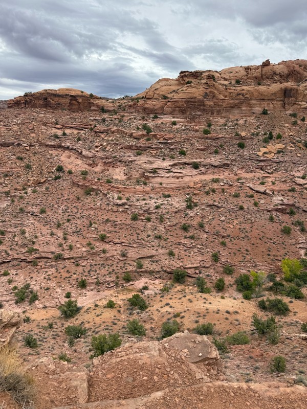
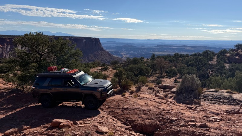
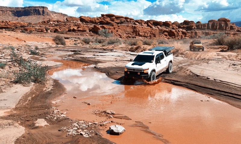
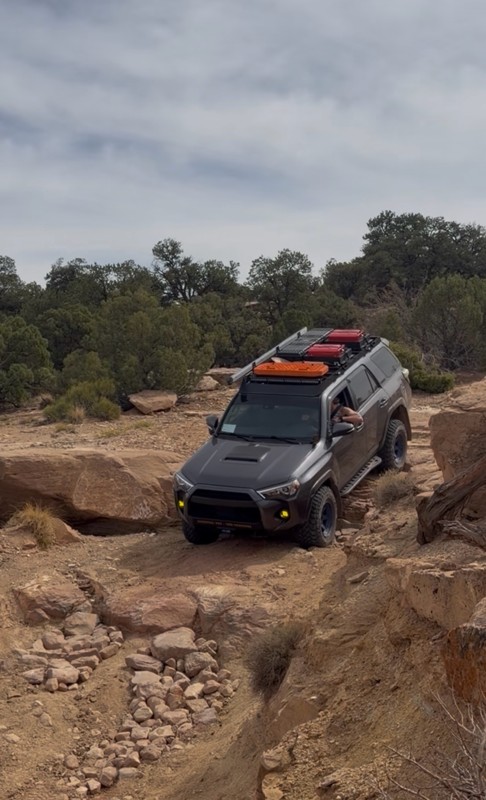
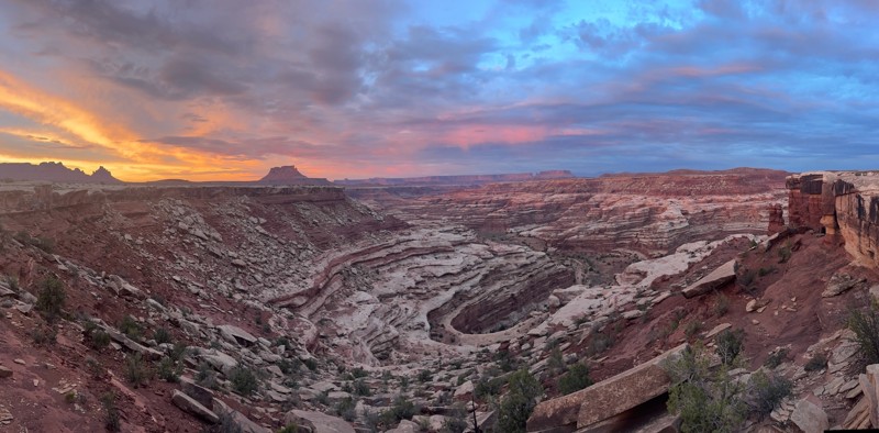
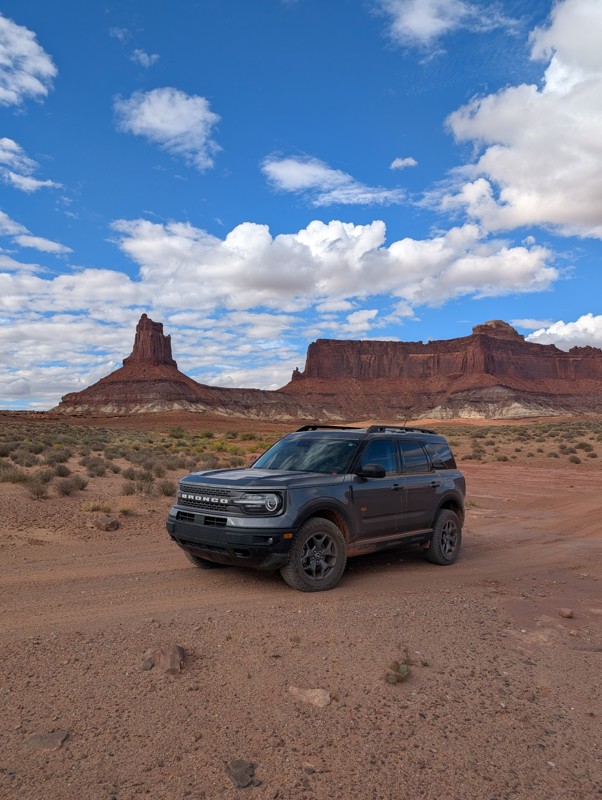
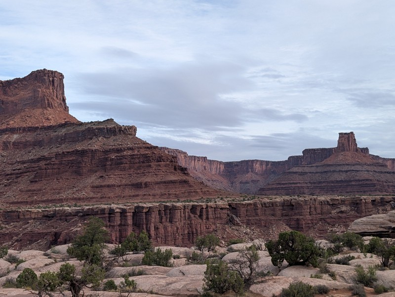
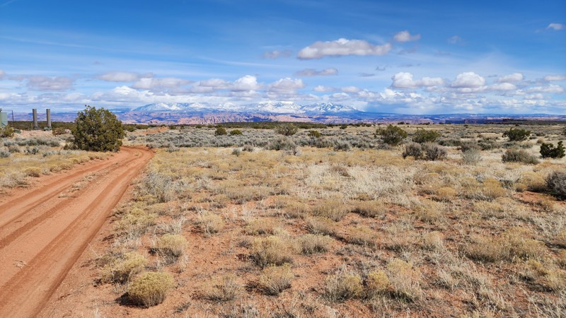
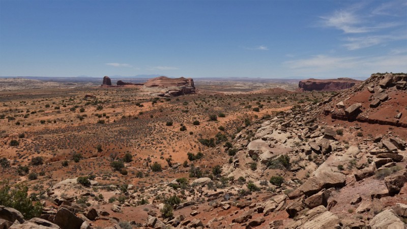
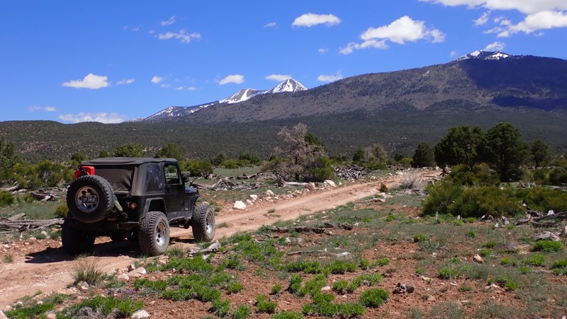
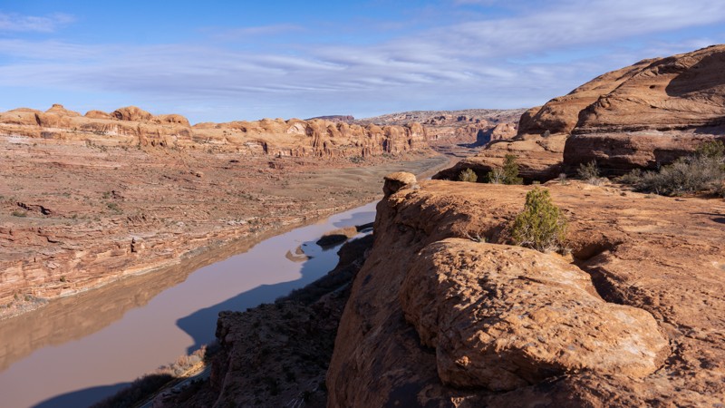
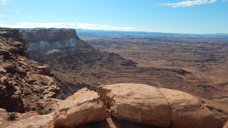
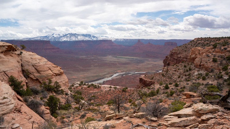
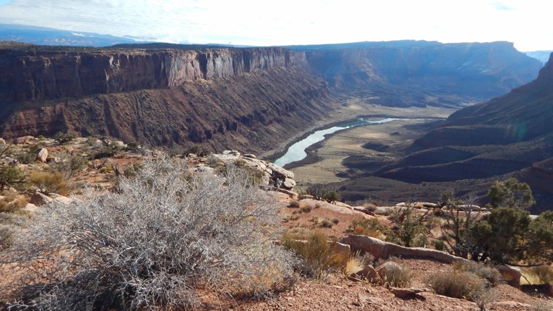
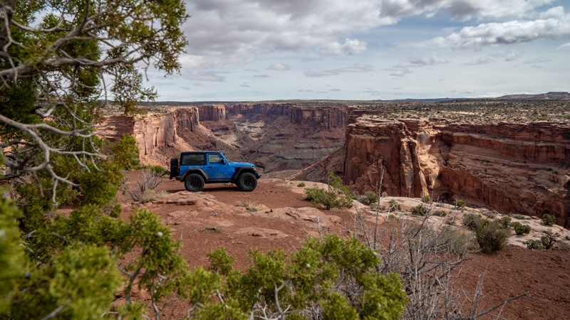
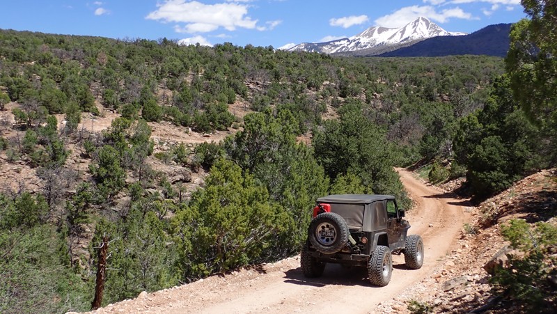
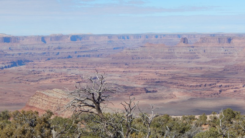
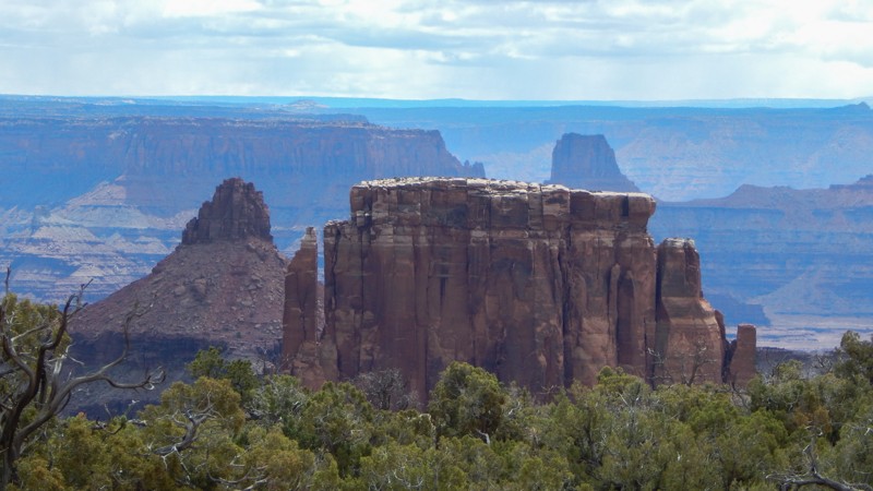
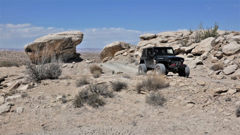
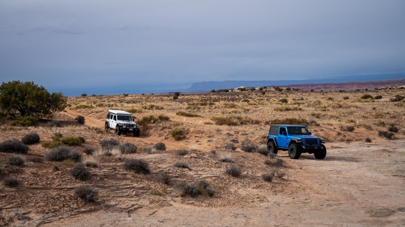
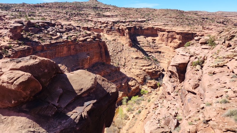
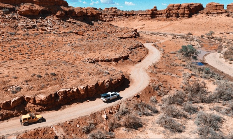
Moab, Utah, is renowned worldwide as a premier destination for offroad enthusiasts. Nestled in the heart of the American Southwest, Moab offers a diverse array of trails that cater to all skill levels. Whether it's an overland or rock crawling adventure you are looking for, this stunning red rock landscape offers 100s of open roads and trails that range from easy to extreme. The area spans over 103,000 square miles and includes lands managed by the Bureau of Land Management, The Manti-La Sal National Forest, Utah State Trust Land, Arches and Canyonlands National Parks, and the Sand Flats Recreation Area.

While the most well-known trails, such as Hell’s Revenge, Fins and Things, Poison Spyder, The White Rim Trail, and the Rimrocker, are typically the main attractions, the area is home to plenty of hidden gems worth exploring.

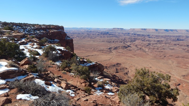
While visiting and riding the trails, enjoy Arches and Canyonlands National Parks to round out your trip. Plan accordingly because Arches now has a timed entry system from April through November, where you need a permit to enter. It is also important to know that summers can have extreme heat with monsoons, and even though it is a high-plain desert, it can snow in the winter months.

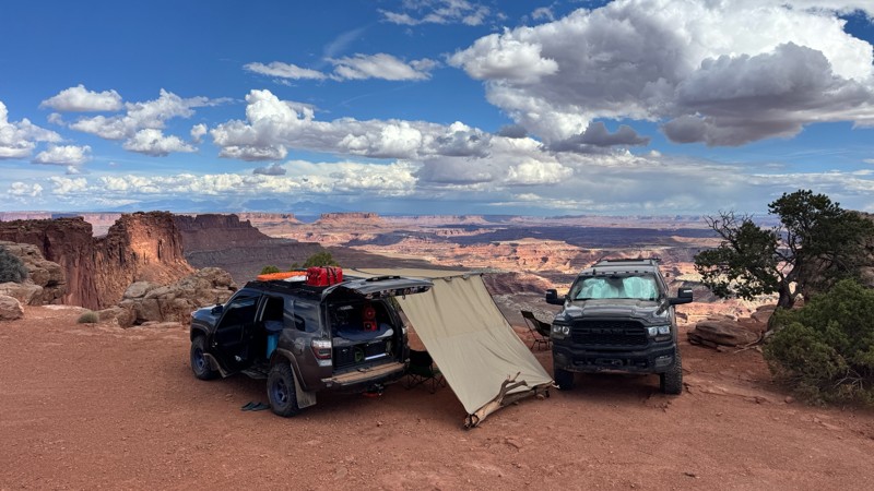
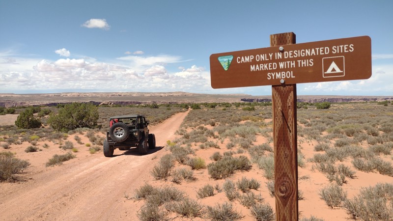
Dispersed camping is limited and only available in designated areas. Each Trails Offroad trail guide lists the various camping opportunities, including BLM’s designated campsites. BLM also manages several campgrounds with vault toilets and picnic tables. Within the town of Moab, you can find various lodging and dining opportunities and repair and maintenance services for your vehicle.


Top Reasons to Explore Here

Basemaps
Go All-Access to Unlock


TRAILS OFFROAD™ TRAIL TYPES
Trail Guide
Full detailed write up with Advanced Rating System, Waypoints, Video, and more.
Scout Route
Lite version with highlights, camping, and hardest part documented. Vetted in person.
TRAIL DIFFICULTY RATINGS
easy (1-2)
Suitable for high clearance 2WD
moderate (3-4)
Best suited for a high clearance 4x4
difficult (5-6)
Best suited for a lightly modified 4x4
severe (7-8)
Best suited for a highly modified 4x4
extreme (9-10)
Best suited for specialized buggy type vehicles
LAYERS

Most Recent Trail Reviews

Most Popular

Search for Trails
Utah: D1700 Hero Photo
Scout Route Icon
3/5 (1 reviews)
Updated: 10/15/2024

D1700

Moab, Utah

D1700 is a short, straight-through spur road off Long Canyon that leads past a gas well and back to Long Canyon. The road is an easy, hardpacked two-track offering great views of the La Sal Mountains. Camping is not allowed for the first half mile along the western end, but no pre-established campsites exist along the remainder of the road. This trail is suitable for any vehicle with decent ground clearance.

Utah: Dubinky Overlook Hero Photo
All-Access Icon
5/5 (1 reviews)
Updated: 06/05/2022

Dubinky Overlook

Moab, Utah
A quick detour to the end of this trail will reward you with spectacular views of the Rainbow Terrace and Lost World Butte area. Dubinky Overlook also has a couple of easily accessible campsites and a viewpoint that is well worth the 5 minutes drive out to the end. The trail is easy enough for most stock SUVs that want a small sampling of what the area 4x4 trails are like. The trail easily crosses over a rocky and sandy landscape. Bring your camping and camera gear for this short but sweet hidden gem.
Utah: Trail Canyon Shortcut Hero Photo
Scout Route Icon
3.8/5 (4 reviews)
Updated: 11/20/2025

Trail Canyon Shortcut

Dewey, Utah

Acting as a jumper from Dome Plateau Section 2 to Highlands Road, this entertaining two-mile trail allows users to push the limits of their stock vehicle on a few small rock obstacles. Beginners will enjoy the challenges, while seasoned wheelers will appreciate the break from a normal boring dirt road. Small sections of this trail also allow for a bit more speed, making this a relatively quick trail. No camping is found directly along this trail.

Utah: Dunes and Cliffs Hero Photo
Scout Route Icon
3/5 (1 reviews)
Updated: 10/15/2024

Dunes and Cliffs

Moab, Utah

You'll understand the name by traveling up two red dunes to the cliffs overlooking the Backside of Sevenmile Rim. The western trailhead is on Bartlett Wash Road at Waypoint 16. The sand is soft and off-camber in several spots. 4x4 and lower tire pressure are required. The route makes an excellent addition to connecting Bartlett Flat and more. The route has no rock obstacles. If you bypass the out and back spurs the 4.7-mile track can take as little as 15-20 minutes to complete. No camping was found along the route. The dead-end overlooks are turn-around points.

Utah: Upper Levi Well Hero Photo
Scout Route Icon
4/5 (2 reviews)
Updated: 12/27/2024

Upper Levi Well

Crescent Junction, Utah
Upper Levi Well is a short but scenic alternative to the standard Levi Well Road. This trail has a couple of minor obstacles ideal for stock-type 4x4s. There is a narrow sandy ledge that drops into a creek that has pooling water year-round. The soft sand and off-camber climbs will likely require 4x4 and high clearance. The trail crosses over a dramatic and colorful landscape. The ground is a mix of sand and dirt, which is completely impassable when wet. Camping is abundant if you only need a flat patch of ground to park and pitch a tent.
Utah: 4718 Manti La Sal Hero Photo
Scout Route Icon
3/5 (1 reviews)
Updated: 10/15/2024

4718 Manti La Sal

La Sal, Utah

Nestled within the foothills of the Manti-La Sal Mountains, 4718 is a moderate and scenic climb into the pinyon-juniper forest. Used to connect with Slaughter Flats 78, the trail is ideal for stock 4x4s and drivers looking for an adventurous day on the trail. There are no obstacles to mention, but there are long rocky hills with small ledges. The mountain views along the route's northern section are spectacular, but no primitive campsites were found along the trail.

Utah: D1190 D1195 Designated Camping Hero Photo
Scout Route Icon
2/5 (1 reviews)
Updated: 10/15/2024

D1190 D1195 Designated Camping

Moab, Utah

Finding legal camping along Mineral Bottom Road can be confusing. The area has strict camping regulations and designated campsites to help preserve the delicate landscape. Halfway along this 1.2-mile out-and-back trail, there are five designated campsites. Each site is marked with a brown carsonite post. The sites are relatively small, with room for 1-2 vehicles with tents. The ground can be rocky and not very level. The trail to the sites is soft sand with deep ruts before turning to sandstone rocks near the campsites. The trail continues past the designated campsites and dead-ends at a non-descript point in the desert. You can walk a short distance from the campsites for views down into Mineral Canyon. The campsites cannot be reserved and are first come, first served. There are no services or water in these remote camp areas, and you must bring out all human waste. The trail has small rocky ledges and soft washouts that may require 4x4.

Utah: D1585 Hero Photo
Scout Route Icon
4/5 (2 reviews)
Updated: 10/15/2024

D1585

Moab, Utah

D1585 is a short, camping spur road off the popular Poison Spider trail near the Pre-Launch Pad obstacle. This easy sandy road travels a quarter mile west of the main trail to a cliff edge high above the Colorado River. The camp spot at the end is a large, relatively flat slab of slickrock that can accommodate several vehicles.

This road is suitable for any high clearance vehicle.
Utah: Rustlers Loop Hero Photo
Scout Route Icon
3.5/5 (2 reviews)
Updated: 05/20/2026

Rustlers Loop

Spanish Valley, Utah

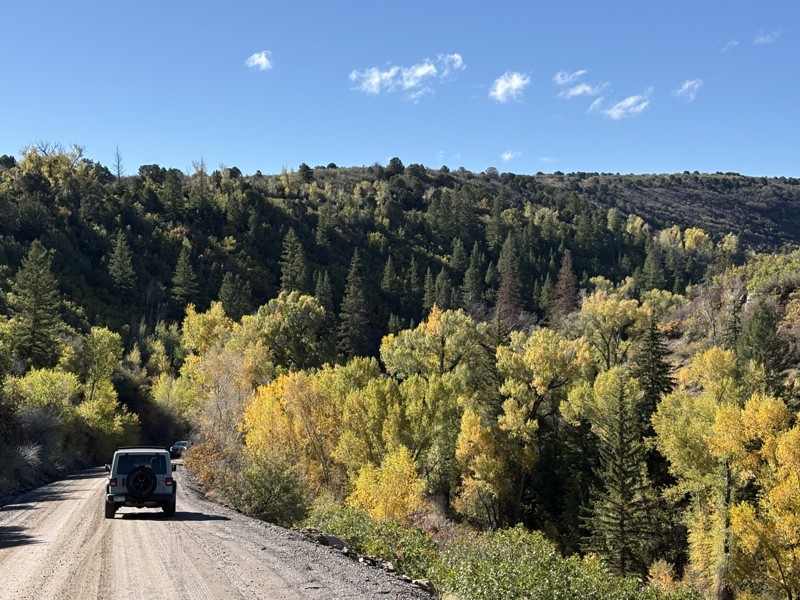
The proper 4x4 portion of the Rustler trail network rewards the ambitious traveler with amazing views very few have ever seen. The trail is tight and twisty through the trees along the rim. At numerous points, you can take a short walk to cliff-edge views of the Canyonlands, 2000 feet below. The trail has rocky sections requiring high clearance, 4x4, and durable offroad-type tires. It's bumpy, and your vehicle will get pinstripes. It takes about 30 minutes to complete the loop to the epic camping at the end of the Rustler Spur trail.

Utah: Richardson Overlook Hero Photo
Scout Route Icon
5/5 (1 reviews)
Updated: 02/26/2025

Richardson Overlook

Dewey, Utah

Tucked away in a lesser-used part of the Dome Plateau, Richardson Overlook is a short, out-and-back, but rewarding spur trail to an amazing overlook of the Colorado River, Onion Point, and the Richardson Amphitheater. This is a moderate trail with only a few minor challenges. Beginners and stock vehicles will really enjoy these challenges while everyone can appreciate the solitude that this trail provides. One small campsite at the overlook can accommodate 2-3 vehicles, but there are minimal flat spots for tents.

Utah: Jug Rock Flat Hero Photo
Scout Route Icon
1/5 (2 reviews)
Updated: 10/15/2024

Jug Rock Flat

Moab, Utah
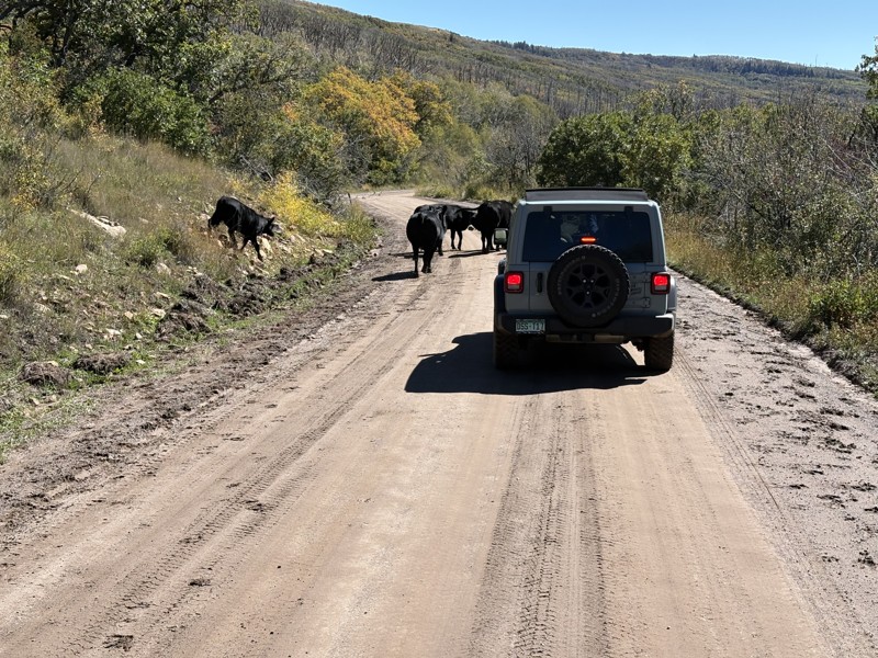
Jug Rock Flat is short soft dirt and sand crossover trail that travels parallel along the Jug Rock butte. Compared to the other more famous rock formations in the area, Jug Rock is a little underwhelming. The trail cuts across a well-used cattle grazing area with a gate that must remain closed. Be courteous to the cattle and try not to spook them. Camping was nonexistent or primarily where the ranchers were within the fenceline. The camping photo is along Dubinky Flat.

Utah: D2678 Hero Photo
Scout Route Icon
4/5 (2 reviews)
Updated: 10/15/2024

D2678

Moab, Utah

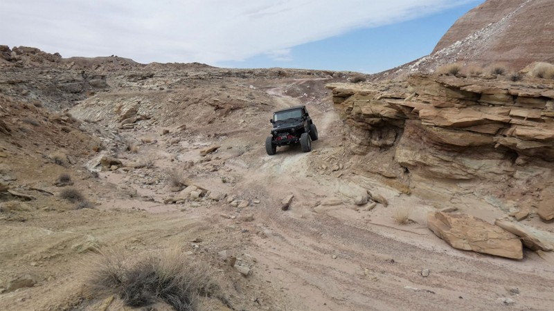
This spur off Spring Canyon Point has a little difficulty in an otherwise pretty tame area. The pictured rock climb is shortly after the trail leaves Spring Canyon Point and is a rough descent that you must climb on the way back out. At the end of the trail, you can park and continue on foot towards the river and the Keg Spring Bottom Viewpoint.

Utah: Orange Trail 01 Hero Photo
Scout Route Icon
3/5 (1 reviews)
Updated: 10/15/2024

Orange Trail 01

Green River, Utah
Outside Green River, Utah, the Orange Trail is a long OHV loop created by Bill Thompson over 15 years. The trail's entirety will be broken up into sections on this website. This portion of the loop is scenic, and at times it follows The Old Spanish Trail; keep an eye out for the old trail markers. This portion of the Orange Trail is one of the more challenging sections requiring experienced drivers with a capable 4x4. The trail has several rocky sections that require low-range gearing and high ground clearance. A difficult section with rock ledges on a hill may require a spotter and traction aids. Orange Trail is ideal for stock 4x4s owners who desire a challenge. The colorful rocks and dramatic contrast in the landscape create an alien planet feeling. While sporadic rock fire rings were found along the route, the ground was very hard and rocky for tent camping.
Utah: Richard's Mountain Spur Hero Photo
Scout Route Icon
3/5 (1 reviews)
Updated: 02/26/2025

Richard's Mountain Spur

Dewey, Utah

Richard's Mountain Spur is a 1.75-mile dead-end spur to an east-facing rim overlooking the Colorado River and the tip of Dome Plateau known as Richard's Mountain. From here, you can see Power Pole Rim and Pole Canyon Rim across the river. This trail is moderate, with a few small rocky patches perfect for beginners and stock vehicles. Camping is available along this spur.

Utah: D2761 Moab Hero Photo
Scout Route Icon
4/5 (1 reviews)
Updated: 10/15/2024

D2761 Moab

Crescent Junction, Utah

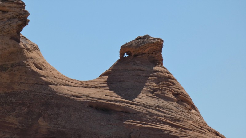
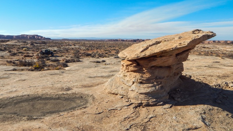
D2761 is a rocky, sandy, remote, dead-end 4x4 trail across a scenic desert landscape. Unique balance rocks and hoodoos add to the vast panoramas that stretch for miles in all directions. Watch for pronghorn and big horn sheep that thrive in this pristine, remote environment. The trail cuts straight across the scrub brush, following a sandy two-track with long sections of bumpy sandstone, mild vertical ledges, and gradual descents. Airing down tire pressure will aid with traction in the loose sand and over the endless bumps. Low-range 4x4 may be needed numerous times, and high clearance and durable offroad tires are required. The rocky step ledges are 10-14" tall and must be driven in both directions. There are no campsites along this route or down in Bull Bottom. Abundant camping is available along Ten Mile Point.

Utah: Dubinky Flat Hero Photo
Scout Route Icon
3.5/5 (2 reviews)
Updated: 04/28/2025

Dubinky Flat

Moab, Utah
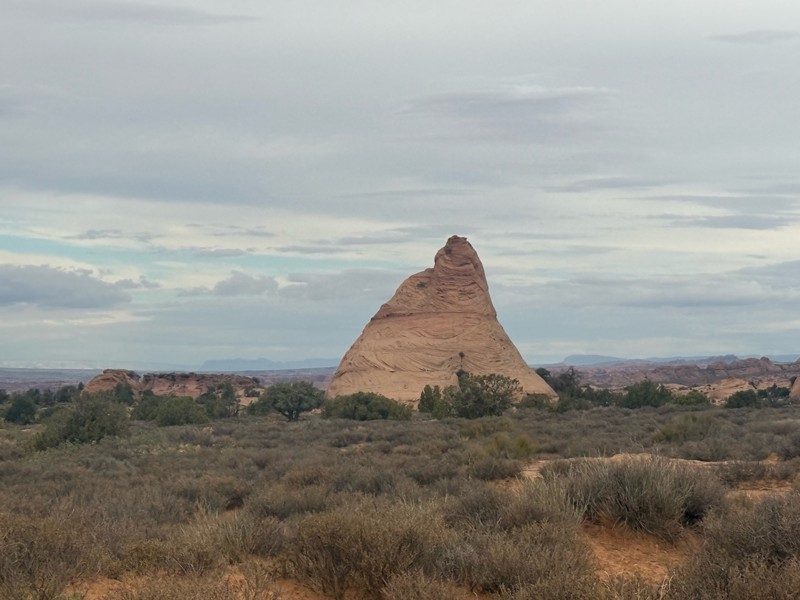
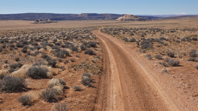
Dubinky Flat is an easy but scenic crossover-type trail you might consider a shortcut. It travels across the open meadows overlooking the Jug Rock ridgeline and a beehive-shaped rock butte. The trail is soft dirt and sand with the occasional hidden deep rut. Do not travel on this route in wet conditions. The route can be driven in 2wd with high clearance. There are no obstacles or rocky sections. Camping is allowed but very limited along this route.
Utah: Rustlers Spur Hero Photo
Scout Route Icon
3/5 (2 reviews)
Updated: 04/01/2025

Rustlers Spur

Spanish Valley, Utah

Rustlers Spur is the main out-and-back trail connecting all four of the Rustler network of trails. The 2-mile sandy service road leads to an overlook of the Canyonlands and a couple of rocky campfire rings for tent campers. The trail is hard-pack sand that is passable in 2WD in dry conditions. The trail connects with the more challenging 4x4 trail Rustlers Loop, leading to the Needles Overlook.

Utah: D1167 Hero Photo
Scout Route Icon
5/5 (1 reviews)
Updated: 10/15/2024

D1167

Moab, Utah

D1167 is a short, dead-end spur road off Mineral Bottom that leads to a couple of campsites at the cliff edge overlooking Mineral Canyon. Any vehicle can easily travel the road. The trail surface is primarily sand with sections of flat slickrock. The first campsite is large and wide open, with plenty of level space on top of the slickrock accommodating several tents and vehicles. Against another canyon area, the second campsite is again large and open, but has more uneven ground, making it harder to support ground tents. Rooftop tents are a great option at the second campsite.

Utah: Slaughter Flats 4254 Hero Photo
Scout Route Icon
4/5 (1 reviews)
Updated: 10/15/2024

Slaughter Flats 4254

La Sal, Utah

The Slaughter Flats region south of Moab is nestled in the foothills of the Manti-La Sal Mountains. The 4254 National Forest trail crosses sprawling meadows with stunning views of the snow peaked mountains. The camping is limited to a couple of sites, but what excellent campsites they are. Reaching this trail via Slaughter Flats 78 creates a scenic and historic tour of one of the lesser-known areas around Moab, Utah. The area trails are ideal for stock-type 4x4s with high clearance and a driver with a sense of adventure.

Utah: Rustlers Overlook Hero Photo
Scout Route Icon
1/5 (1 reviews)
Updated: 10/15/2024

Rustlers Overlook

Spanish Valley, Utah

The first and main road to the Rustler area trails leads to a subdued, overlook camping area. The easy sand road travels 3.4 miles to the turn-around camping area but is less rewarding than the Rustlers Spur trail. A vehicle can set up a tent or two in two small areas, but it would be tight and intrusive when traffic passes through for a look. The maintained road to the overlook is easy with packed sand and can be busy during the day. Whether you're there for a quick look or a few days, you'll leave with many memories and photos. Look for Horsehead Rock off in the distance.

Utah: D1233 Hero Photo
Scout Route Icon
2/5 (1 reviews)
Updated: 10/15/2024

D1233

Moab, Utah

D1233 is a short, half-mile out-and-back 4x4 trail that leads to a turn-around for a hike to an overlook of Shafer Canyon. The trail requires 4x4 because of the trails leading there and an undercut rock ledge. The trail is narrow, with twisting turns through the tight trees. The trail abruptly ends at a grassy dune with no indicators of a hiking trail. To reach the Shafer Canyon overlook cliff edge, you must carefully hike through the crypto soil to reach views of Crow's Head Spire and the canyon. There are no campsites along this trail.

Utah: Orange Trail 02 Hero Photo
Scout Route Icon
3.5/5 (2 reviews)
Updated: 04/22/2026

Orange Trail 02

Green River, Utah
Outside Green River, Utah, the Orange Trail is a long OHV loop created by Bill Thompson over 15 years. The trail's entirety will be broken up into sections on this website. This portion of the loop is scenic with very mild 4x4 terrain. The trail has rocky sections that require 4x4, durable tires, and high ground clearance. The most challenging portion of this segment is a dirt hill with 4 to 6-inch rocks. This is an ideal trail for stock 4x4s owners who desire a mild challenge when four-wheeling. The colorful stones and dramatic contrast in the landscape create an alien planet feeling. While no rock campfire rings were found along the route, the ground was soft and flat in areas for tent camping.
Utah: D2745 Hero Photo
Scout Route Icon
3/5 (1 reviews)
Updated: 05/12/2025

D2745

Crescent Junction, Utah

D2745 is slightly more difficult than its neighbors in this region. Bridging the gap between Duma Point Road, and D2707, this mixed-surface trail offers a few small rocky obstacles, where a slight lift aids in protecting your undercarriage. Running this trail from north to south offers a more significant challenge, as all obstacles will be uphill. There are no campsites along this trail.

Utah: Hunter Rim Hero Photo
Scout Route Icon
2/5 (2 reviews)
Updated: 07/30/2025

Hunter Rim

Moab, Utah

Hunter Rim is a scenic, meandering, bumpy drive along the edge of Hunter Canyon, ending at a view of Hunter Arch across the canyon. If you've committed to driving out this far on Behind the Rocks, consider driving about an hour roundtrip to the arch and narrow canyon viewpoint. The trail is mild compared to anything already encountered to reach this remote area along Behind the Rocks Road but expect several 12-14" ledges and basketball-sized rocks that can easily snag a differential. A couple of spots along the trail are a bit narrow due to washouts, but at the time of publication, they were passable in full-width vehicles. The terrain is rugged for camping, but it is allowed if needed.