Region

Moab

Utah

Offroad Trails in Moab

A Region within Utah
4.5/5 (2931)

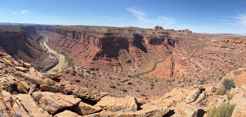
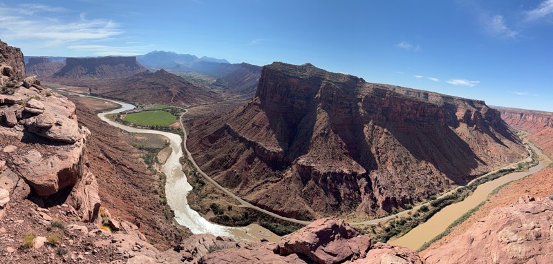
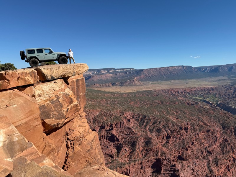
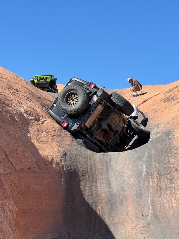
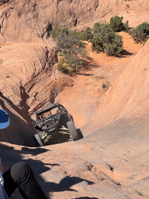
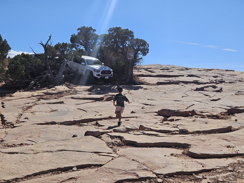
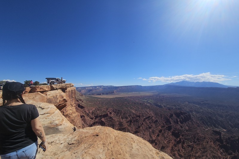
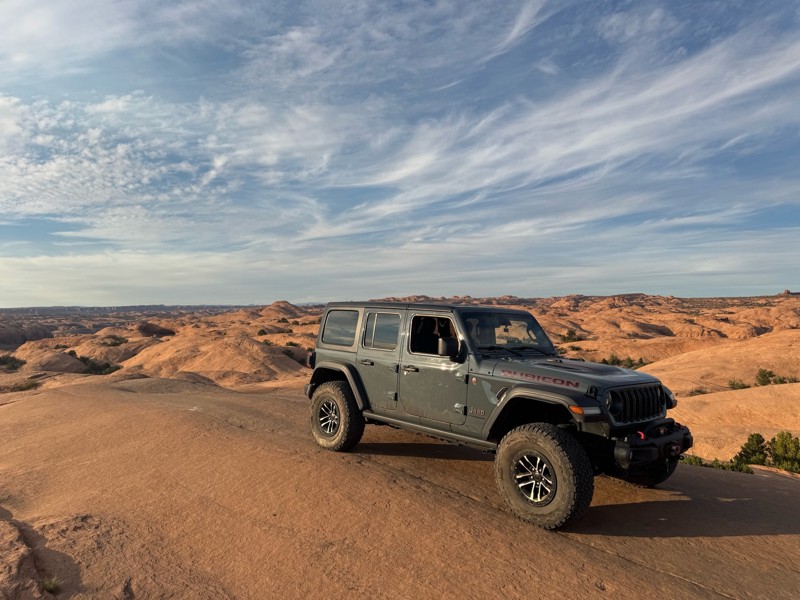
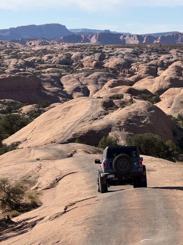
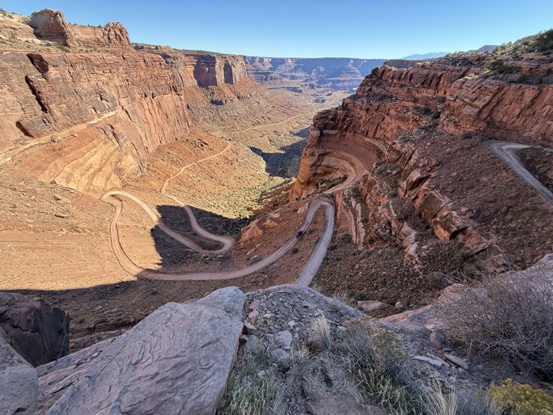
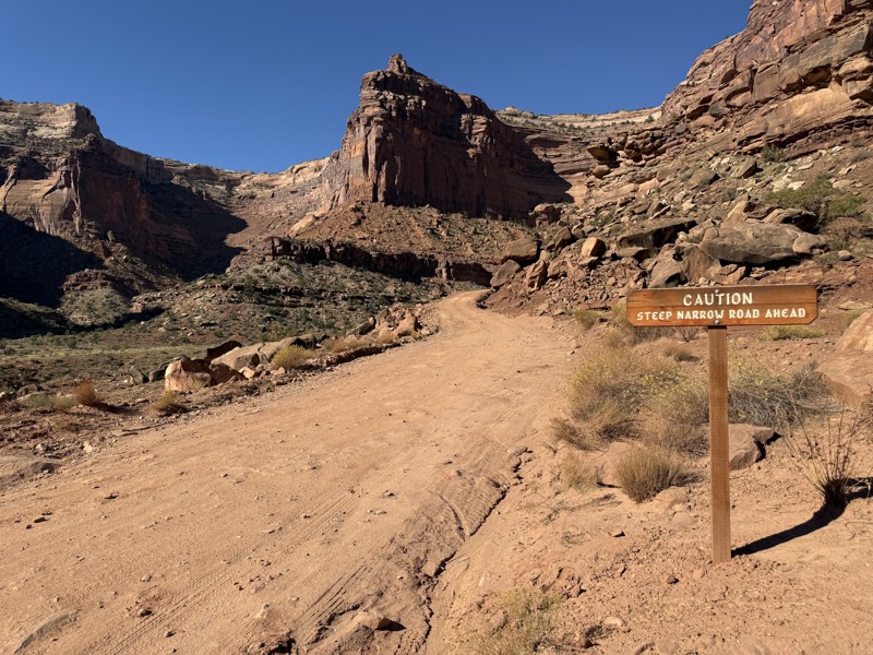
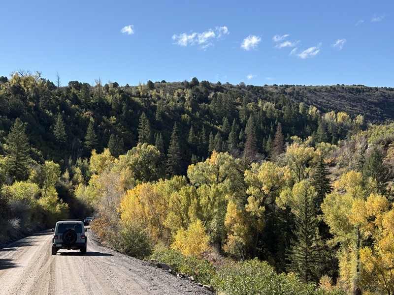
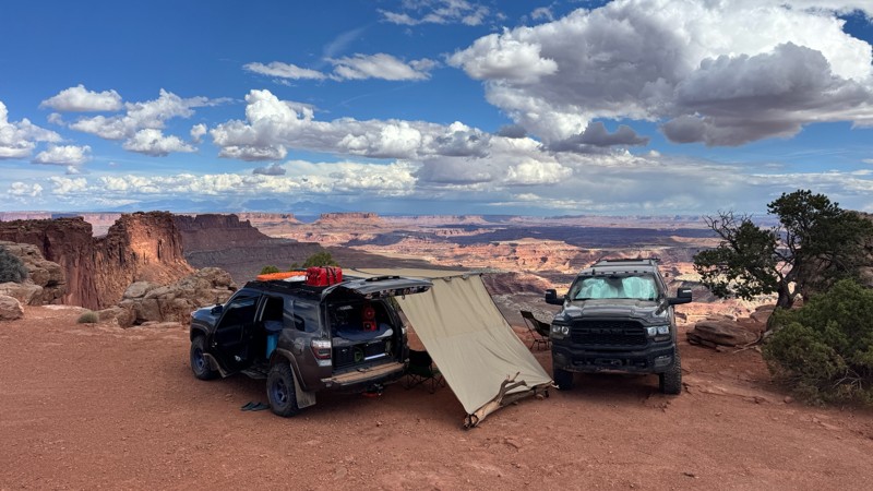
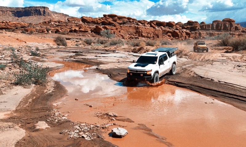
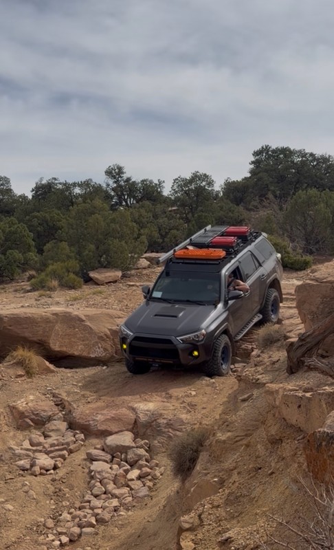
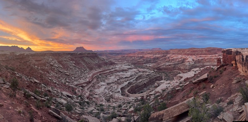
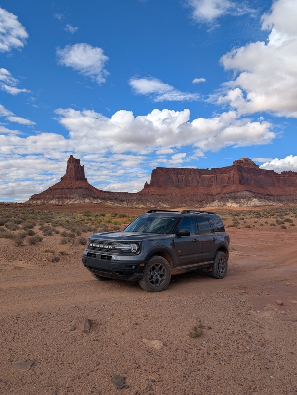
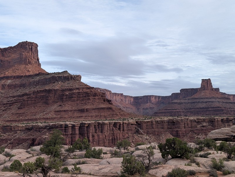
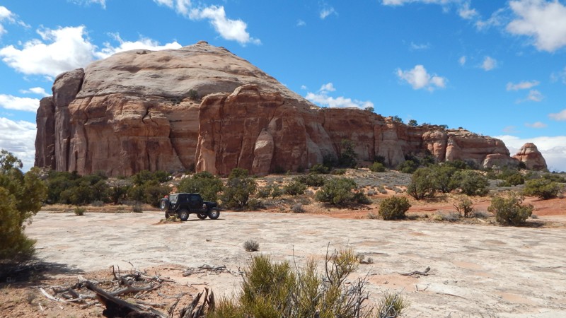
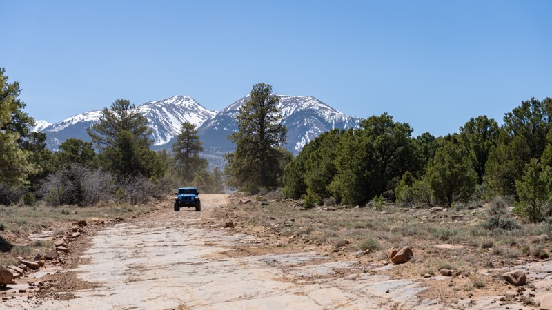
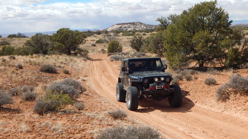
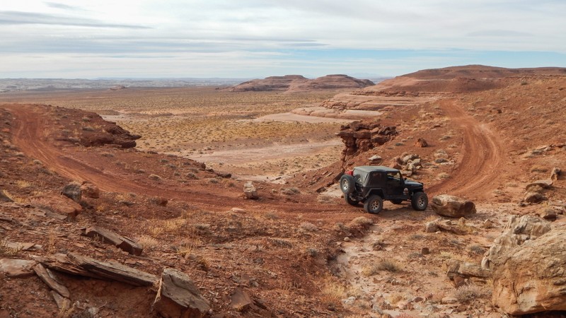
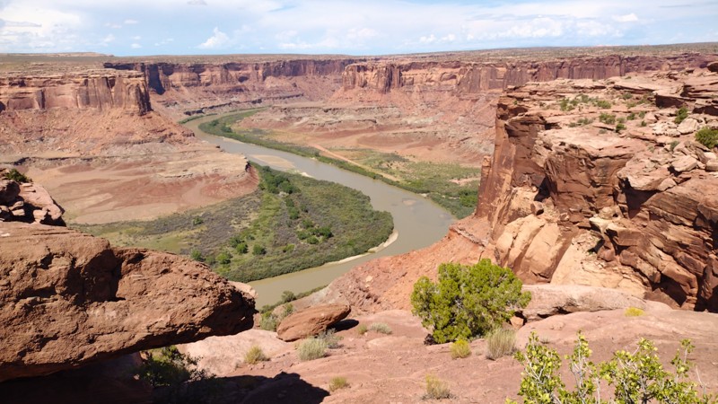
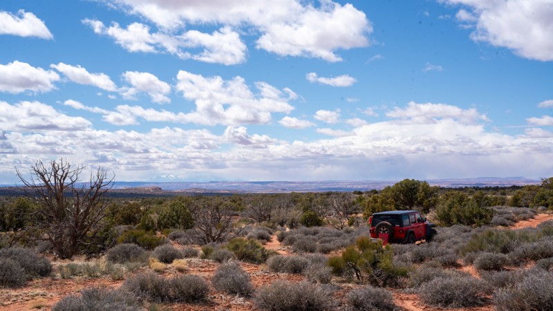
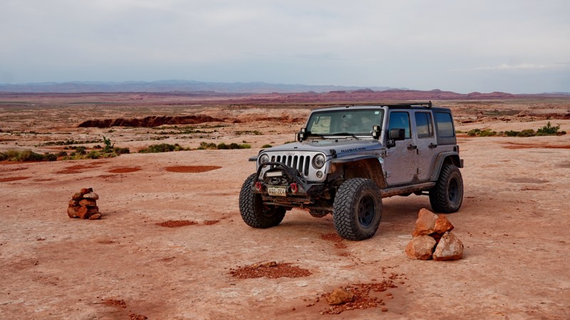
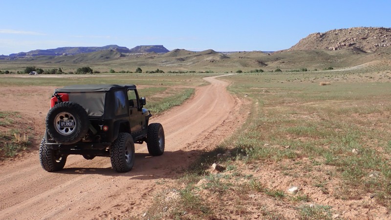
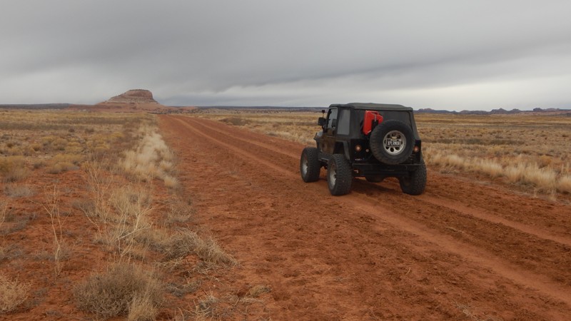
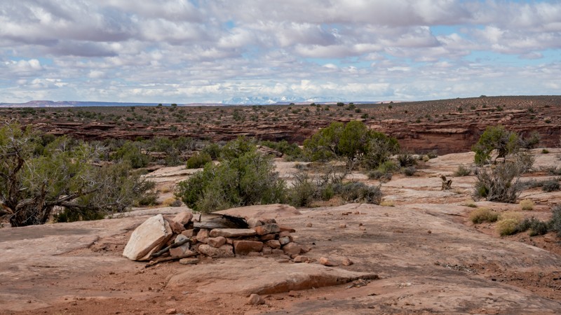
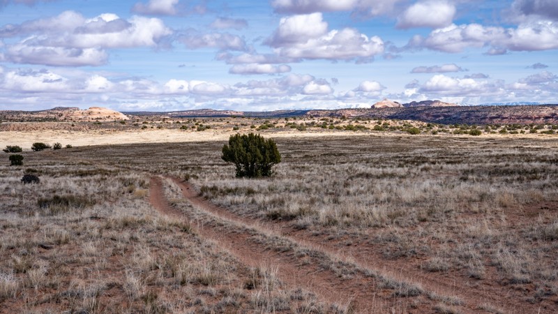
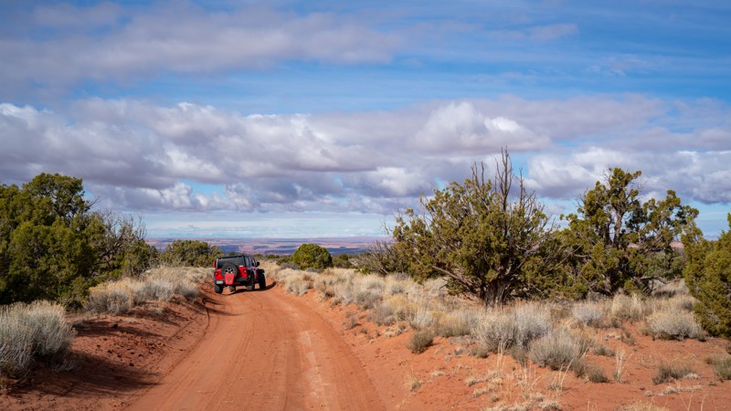
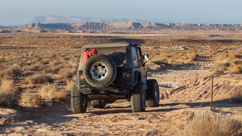
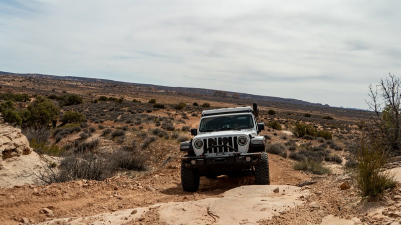
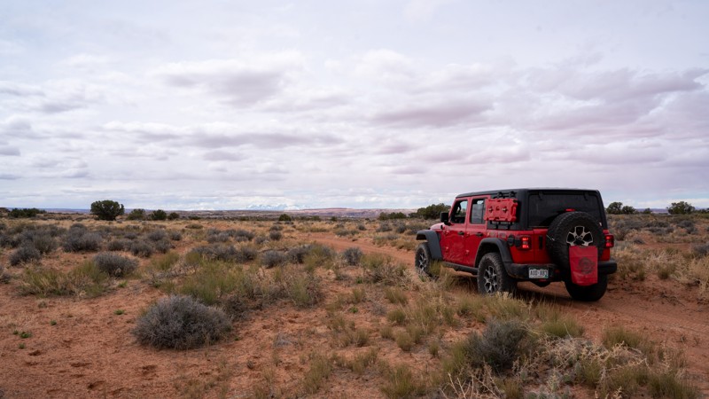
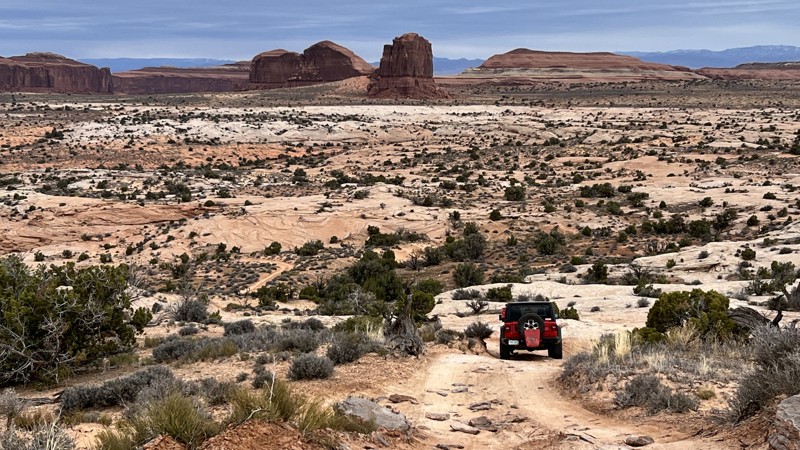
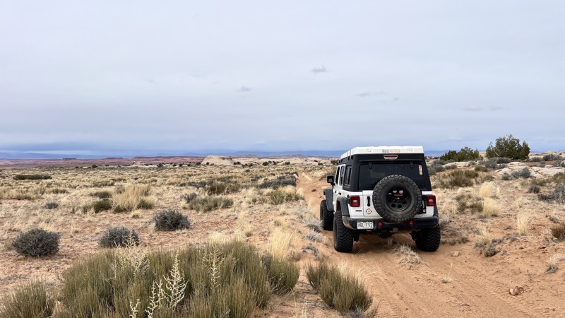
Moab, Utah, is renowned worldwide as a premier destination for offroad enthusiasts. Nestled in the heart of the American Southwest, Moab offers a diverse array of trails that cater to all skill levels. Whether it's an overland or rock crawling adventure you are looking for, this stunning red rock landscape offers 100s of open roads and trails that range from easy to extreme. The area spans over 103,000 square miles and includes lands managed by the Bureau of Land Management, The Manti-La Sal National Forest, Utah State Trust Land, Arches and Canyonlands National Parks, and the Sand Flats Recreation Area.

While the most well-known trails, such as Hell’s Revenge, Fins and Things, Poison Spyder, The White Rim Trail, and the Rimrocker, are typically the main attractions, the area is home to plenty of hidden gems worth exploring.

While visiting and riding the trails, enjoy Arches and Canyonlands National Parks to round out your trip. Plan accordingly because Arches now has a timed entry system from April through November, where you need a permit to enter. It is also important to know that summers can have extreme heat with monsoons, and even though it is a high-plain desert, it can snow in the winter months.

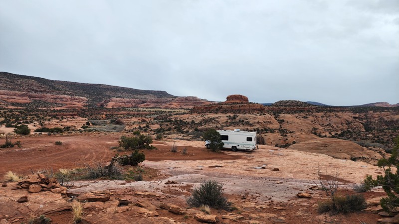
Dispersed camping is limited and only available in designated areas. Each Trails Offroad trail guide lists the various camping opportunities, including BLM’s designated campsites. BLM also manages several campgrounds with vault toilets and picnic tables. Within the town of Moab, you can find various lodging and dining opportunities and repair and maintenance services for your vehicle.

Top Reasons to Explore Here

Basemaps
Go All-Access to Unlock


TRAILS OFFROAD™ TRAIL TYPES
Trail Guide
Full detailed write up with Advanced Rating System, Waypoints, Video, and more.
Scout Route
Lite version with highlights, camping, and hardest part documented. Vetted in person.
TRAIL DIFFICULTY RATINGS
easy (1-2)
Suitable for high clearance 2WD
moderate (3-4)
Best suited for a high clearance 4x4
difficult (5-6)
Best suited for a lightly modified 4x4
severe (7-8)
Best suited for a highly modified 4x4
extreme (9-10)
Best suited for specialized buggy type vehicles
LAYERS

Most Recent Trail Reviews

Most Popular

Search for Trails
Utah: Behind the Rocks Overlook Hero Photo
Scout Route Icon
5/5 (1 reviews)
Updated: 10/15/2024

Behind the Rocks Overlook

Spanish Valley, Utah

This is a short, looping side trail off the Upper Hunter Rim trail, which goes out to a spectacular overlook on a rocky point along the rim of Hunter Canyon, looking across to the stunning rock fins of the Behind the Rocks Wilderness Study Area. Aside from that rocky point, the rest of the trail is easy sand. While there are no established campsites with fire rings along this trail, there are a couple of sheltered flat areas at the base of sandstone pinnacles that would make good campsites.

Utah: Beehive Butte Hero Photo
Scout Route Icon
3/5 (1 reviews)
Updated: 10/15/2024

Beehive Butte

Moab, Utah

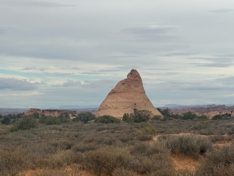
Taking this short, moderate 4x4 trail past Beehive Butte is an excellent addition to many other trails that crisscross this lesser-used region of Moab. The trail drives right up to and past the eastern side of the lone-standing Beehive Butte. The trail has a couple of mild rocky sections that are ideal for beginners and stock-type vehicles. You need 4x4, high-clearance, and durable tires to complete the 1.9-mile route. There were no campsites along this route.

Utah: Polar Mesa Hero Photo
Scout Route Icon
3/5 (1 reviews)
Updated: 05/01/2026

Polar Mesa

Castle Valley, Utah

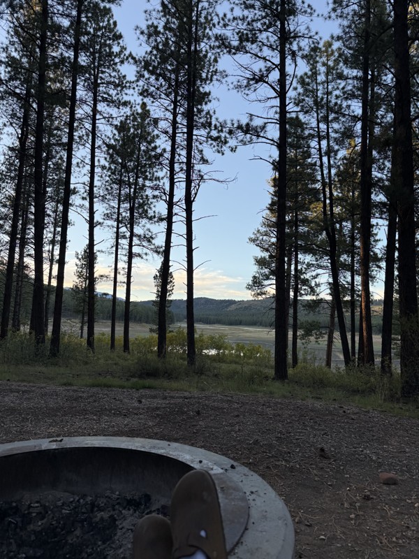
The name Polar Mesa may conjure a cold, rugged landscape, but that impression can be misleading. While the mesa reaches elevations above 8,100 feet and can experience polar-like temperatures in winter, late spring through fall offers a much different experience, with pleasant conditions and plenty of camping opportunities along the approach in the pine trees.

The road climbs steadily to the top of the mesa before ending at an old mining complex. These ruins are part of the Polar Mesa uranium and vanadium mining area, with the Effie F. Mine being one of the named mines associated with the remaining ore bin and trestle structures. From the far end of the road, the views stretch for miles in every direction, including distant views of the Book Cliffs to the north.

The road is generally maintained, but as you gain elevation, there is a section of wide shelf road that will require you to pay attention during the drive.

The best camping is located west of Hideout Canyon, where sites are large and spacious, suitable for any camp setup.

Utah: D1000 Hero Photo
Scout Route Icon
2.5/5 (2 reviews)
Updated: 10/15/2024

D1000

Moab, Utah

Crossing grassy meadows with views of the distant buttes, D1000 is a scenic and moderate alternative when entering this vast network of enjoyable 4x4 trails outside Moab. Between the sandy two-track, the trail easily crosses a few rocky sections requiring high-clearance and durable offroad-type tires. At the western trailhead is the lone campsite found along the route. The site is large enough for a couple of vehicles with tents and has spectacular views of the surrounding desert.

Utah: Backside of Sevenmile Rim Hero Photo
Scout Route Icon
3/5 (1 reviews)
Updated: 10/15/2024

Backside of Sevenmile Rim

Moab, Utah

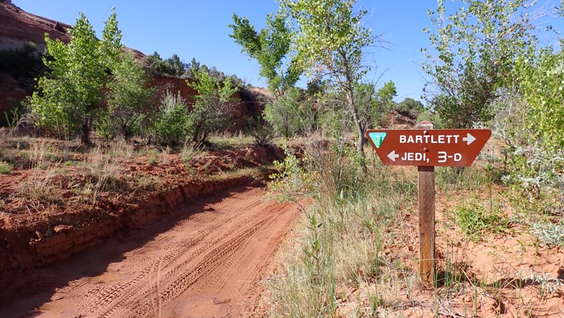
Rolling along the red sand beside the cliffs of the Backside of Sevenmile Rim, you'll discover a lovely campsite and captivating views along this 1.6-mile trail. The campsite is at the trailhead with Bartlett Wash Road at Waypoint 13. 4x4 and lower tire pressure are required. The route makes an excellent addition to connecting Bartlett Flat and more. The route has no rock obstacles, and takes as little as 10-15 minutes to complete.

Utah: Duma Point D2778 Hero Photo
Scout Route Icon
5/5 (1 reviews)
Updated: 10/15/2024

Duma Point D2778

Crescent Junction, Utah

Four miles out and back better be worth it. We've all muttered the words to ourselves at one point. Duma Point is one of those trails that's worth it. While not a difficult trail, this one's about the views and the feeling you get driving along the narrow cliff to the overlook. The trail winds along a picturesque rim that travels over two miles to Duma Point. The trail does have one off-camber obstacle between massive boulders. The entire trail can be completed in stock 4x4s with high clearance and durable offroad tires. The trail is narrow but wide enough for full-width trucks. The difficult obstacle is around the 3/4 mark of the trail. There are no campsites along this route. Camping is available along 10 Mile Point.

Utah: D1207 Designated Camping Hero Photo
Scout Route Icon
4.5/5 (2 reviews)
Updated: 04/24/2025

D1207 Designated Camping

Moab, Utah

While exploring the never-ending maze of trails along Mineral Bottom Road, you should know exactly where it's legal to camp. D1207 is a short, sandy, rocky out-and-back trail to several designated campsites for individuals or the entire overland crew. A short hike to the end leads to spectacular views of the Labyrinth Canyon and the Green River. The campsites along the early portion of the route are dispersed amongst the limited trees and are relatively small. The BLM map designates four individual campsites that cannot be reserved and are first come, first served. There are no services or water in these remote camp areas, and you must bring out all human waste. The trail has small rocky ledges and soft washouts that may require 4x4.

Utah: D1136 Hero Photo
Scout Route Icon
3.5/5 (2 reviews)
Updated: 10/15/2024

D1136

Moab, Utah

Cutting through the Moab desert is D1136, a feeder trail for many scenic spurs such as D1301, D1290, and D1291B. Although this trail poses no risk for your average high clearance 4WD vehicle, there are a few small challenges. Rocky patches may push beginners to jump out of their vehicles and look at the line choices, while seasoned drivers will have no issues. There are a few scattered, dispersed campsites along this lightly used trail.

Utah: D1649 Hero Photo
Scout Route Icon
3/5 (1 reviews)
Updated: 10/15/2024

D1649

Spanish Valley, Utah

Located just south of Hole 'N' The Rock roadside attraction, D1649 is a short, dead-end camping spur at the eastern end of Kane Creek Canyon. The road houses nearly a dozen dispersed campsites depending on how close you want to be to your neighbor. Camp views are vast as you look past numerous rock formations and tall sandstone fins along the edge of Muleshoe Canyon. The road surface is a mix of small rocks, sand, and slickrock, with a few bumps and dips along the way. It is suitable for any vehicle, including RVs and travel trailers.

Utah: Junes Bottom Hero Photo
Scout Route Icon
5/5 (1 reviews)
Updated: 02/09/2026

Junes Bottom

Green River, Utah

Junes Bottom is a scenic Utah red rock trail with a fascinating history, representing a rare success story in the endless land use fights with wilderness groups in Southern Utah. The road was originally constructed by rancher June Marsing in the 1930s, who lived in a small dugout house next to the Green River - ruins of which can still be seen today. The road was closed by the BLM in 2003 because it was inside a wilderness study area. The state was unsuccessful with a lawsuit trying to get it reopened, and the road remained closed for nearly 20 years. However, when the Labyrinth Canyon Wilderness Area was officially designated by Congress in the 2019 Dingell Act, the Junes Bottom Road was "cherry-stemmed" and excluded from the wilderness area. This forced the BLM to reopen it to vehicles in the 2020 San Rafael Desert Travel Management Plan.

Today, the Junes Bottom Road is one of only a handful of remaining roads accessing the west bank of the Green River in Labyrinth Canyon, though it ends about a quarter mile from the river itself. The difficulty is on the hard side of moderate. Although an aggressive stock high clearance vehicle could navigate the trail with some challenge, larger tires and a lift are highly recommended to safely traverse this trail due to its remoteness.

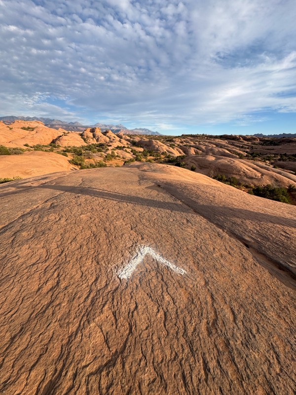
The terrain the road travels through varies greatly. It starts out as a sandy two-track crossing a grassy mesa top before descending through a series of steep dirt ramps and gullies. It then crosses a broad slickrock plain below striking red striped cliffs. Navigation can be tricky here. There are occasional cairns, paint blazes, and signs marking the wilderness boundary, but it can still be easy to wander off track. Good line choice is necessary here to avoid dragging your rear bumper coming off ledges and slickrock humps. The road becomes more distinct as it switchbacks down a series of terraces toward the river. This section has a notable ledge obstacle about a foot high leading into a narrow, curving shelf road section, which is the most challenging part of the trail. 

The road comes to an end at a small parking area and hiking trailhead at the boundary of the wilderness area, a short walk away from the bank of the Green River. Though there are no obvious established campsites along this road, this parking area could make a good place for vehicles with rooftop tents to camp and spend an evening exploring the riverbanks.


Utah: Brinks Spring Road Hero Photo
Scout Route Icon
3.3/5 (4 reviews)
Updated: 11/14/2025

Brinks Spring Road

Crescent Junction, Utah

Brinks Spring is a short-cut trail connecting Blue Hills Road and Hidden Canyon trails. Along this 1.8-mile trail, several wide-open large campsites are easily accessible in vans and RVs. There is no shade or protection from the wind. Midway through the trail, there can be mud from a nearby spring. In dry conditions, the trail can be completed in 2WD with high clearance. The northern section of the trail is graded dirt, and the southern portion is high clearance two-track.

Utah: Bartlett Rock Art Hero Photo
Scout Route Icon
3/5 (1 reviews)
Updated: 10/15/2024

Bartlett Rock Art

Moab, Utah

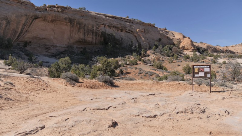
An excellent and quick detour is hidden in the sandstone cliffs. Bartlett Rock Art site is a short out-and-back trail where a short hike leads to a massive cliff wall with early Native American rock art. The trail is soft sand and rocks. It can be done in 2WD, but 4WD may be needed in the soft sand. The trail is not recommended for low-clearance passenger vehicles. The walk from the parking area is very short but uphill to the pictographs. There is no camping along this route, but it is abundant on the other area trails.

Utah: North Flats Road Hero Photo
Scout Route Icon
1/5 (1 reviews)
Updated: 10/15/2024

North Flats Road

La Sal, Utah

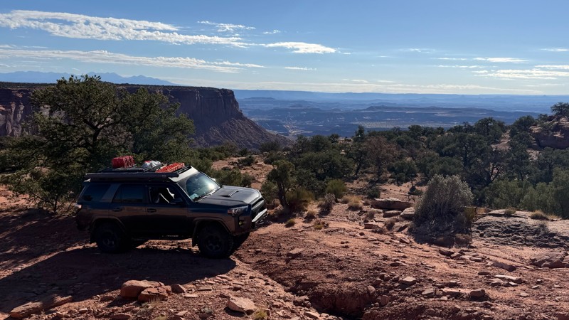
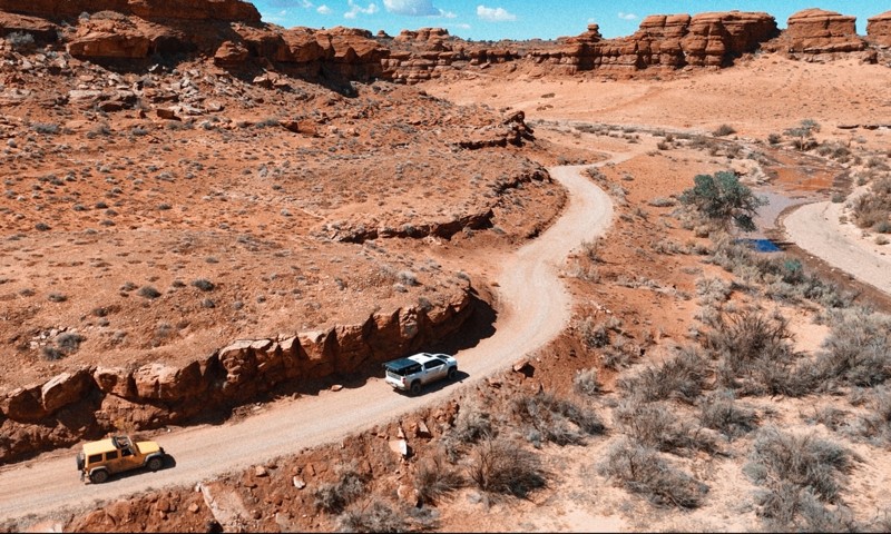
North Flats Road is a 4.6-mile dead-end road ranchers use to access a large corral. There is no camping, obstacles, or points of interest. The road can become impassable in wet conditions and does not connect with other legal trails.

Utah: D1164 Hero Photo
Scout Route Icon
4/5 (1 reviews)
Updated: 10/15/2024

D1164

Moab, Utah

D1164 is a short and easy dead-end spur road off Mineral Bottom Road that leads to several designated campsites, a few of which sit cliffside overlooking Mineral Canyon. The road is a mix of slickrock slabs and dirt with no major obstacles. It is rough enough that low-clearance vehicles and RVs should not attempt driving it, but any stock SUV or pickup truck would have no problems driving this road to the end. Camping along the road is only allowed in designated spots, of which you can find five along the trail. Portable toilets are required, and users must pack out all trash and human waste. Campsites along the road vary in size from one vehicle to multiple vehicles and are generally either soft sand or flat slickrock.

Utah: D1091 Hero Photo
Scout Route Icon
4/5 (3 reviews)
Updated: 10/15/2024

D1091

Moab, Utah

D1091 is an easy, straight-through two-track trail that starts and ends along Mineral Bottom Road. The road is primarily sand with sections of protruding slickrock. Expansive views of the La Sal Mountains, Buck Mesa, and beyond can be seen all along the trail as you trek across Horsetheif Point. On the western end of the trail, you will quickly pass a slickrock campsite good for vehicle camping and then come to a hard, 180-degree turn before reaching Horsetheif Spring. The spring is located on private property and provides no turn-around point, so please adhere to signage and ensure you take the 180-degree turn. The trail then becomes lightly used as it travels through grass and sagebrush and bumps its way back to the eastern side, ending just after a second large, slickrock campsite good for any camp setup and groups. The ground is level and provides ample parking. This trail is suitable for any high clearance vehicle.


Utah: D1065 Hero Photo
Scout Route Icon
3/5 (1 reviews)
Updated: 10/15/2024

D1065

Moab, Utah

A quick trail from Highway 313 to Island in the Sky, this jumper is a great choice for those looking to camp. Cowboy Camp Campground is located right off the pavement and offers toilets, tables, and fire rings. There is a fee to camp, although based on the views, it's worth it. Beyond the campground, the trail works downhill until it meets up with Mineral Bottom Road at Waypoint 4. There are no major obstacles, so beginners and stock vehicles will have no issues with this trail.

Utah: D2800 Moab Hero Photo
Scout Route Icon
2/5 (1 reviews)
Updated: 10/15/2024

D2800 Moab

Green River, Utah

Experience a remote and colorfully rugged landscape all to yourself. Traveling out to the remote Red Wash, D2800 is a scenic out-and-back trail to a network of red wall canyons and access to the Dead Cow dirtbike trail. The trail has long sections of loose sand and bump rock that require high clearance and durable tires. The trail ends above Red Wash, where the protected boundary is clearly marked. The trail does not have any camping.

Utah: Spring Bottom Road to Short Cut Road Cutoff Hero Photo
Scout Route Icon
3/5 (1 reviews)
Updated: 10/15/2024

Spring Bottom Road to Short Cut Road Cutoff

Moab, Utah
A straight-through road that eliminates a portion of driving along Mineral Bottom for those looking for more excitement. The south end has a tame rock obstacle to climb as you drive up a short elevation. Note that most of this track is on State Trust land, and oil and gas activity is in the area. No camping found.
Utah: D1503 Hero Photo
Scout Route Icon
3/5 (1 reviews)
Updated: 10/15/2024

D1503

Moab, Utah

D1503 is a mundane route that will connect you quickly between Spring Canyon Bottom and Deadman Point. The road can be driven in either direction. The only obstacle on the trail is where it meets Spring Canyon Bottom on the north. As you drive this road, you travel mainly through an open prairie-type environment with views of the Henry Mountains far in the distance. Please note that you will find several closed roads in the area that look well-traveled; they are, in fact, closed as of late 2023. Suitable camping is not found along this route.

Utah: Dellenbaugh Tunnel -  South Alternate Hero Photo
Scout Route Icon
4.5/5 (2 reviews)
Updated: 10/15/2024

Dellenbaugh Tunnel - South Alternate

Crescent Junction, Utah

This combination of trails, when driven from south to north, provides one of the more unique viewing opportunities of Tombstone Rock. When driving south to north, you will quickly lose elevation and face many mild obstacles, all on slickrock. It can be driven in any direction, starting from or going towards the famed Dellenbaugh Tunnel trail. Note that the spur leading west dead-ends into a clearing, which could be a good spot for lunch. Any high-clearance stock SUV with low gears will be able to manage without issue. Various maps or other services will also call this part of the Secret Spire Route. There are no camping opportunities.

Utah: D2707 Hero Photo
Scout Route Icon
3/5 (1 reviews)
Updated: 10/15/2024

D2707

Crescent Junction, Utah

When driving the famed Lost World Route, D2707 can be an add-on to extend your day and see new sights. It can be driven in any direction. The road is mostly sand with a few sections of slickrock, none of which is difficult and suitable for any high-clearance vehicle. There is evidence the area was once ripe with ranching, with a decrepit pump station providing the quintessential wild west vibe.  Suitable camping was not found along the route. 

Utah: Crystal Spring Hero Photo
Scout Route Icon
4/5 (1 reviews)
Updated: 10/15/2024

Crystal Spring

Crescent Junction, Utah

Climbing over the Blue Hills, Crystal Spring is a rugged but visually rewarding experience. The trail's multiple challenges include loose rocky hills and vertical rock ledges that can be navigated by stock high clearance 4x4 vehicles with low-range gearing. You'll need durable and aggressive tires to travel the entire route safely. While not an all-day adventure, connecting this trail with other challenging trails in the area makes for an enjoyable day in this colorful desert. Camping was sparse, with only one site on the trail, but it's nice.

Utah: Jug Rock Spring Canyon Link Hero Photo
Scout Route Icon
4.5/5 (2 reviews)
Updated: 10/15/2024

Jug Rock Spring Canyon Link

Crescent Junction, Utah

A combination of BLM trail numbers is technically labeled as Jug Rock Spring Canyon Link. Other maps and sources will also show this as part of the Easter Jeep Safari Secret Spire Route. It can be driven in any direction, with the road changing from dirt two-track to a section of slickrock near the southern end. Depending on which direction you drive the trail, there is a significant elevation change nearer the southern end, presenting a sustained climb/descent and quick slickrock pitches to negotiate. The trail is suitable for any high-clearance stock SUV with low gearing. There is no dispersed camping along the route.

Utah: Rustlers Cutoff Hero Photo
Scout Route Icon
2/5 (1 reviews)
Updated: 10/15/2024

Rustlers Cutoff

Spanish Valley, Utah

Rustlers Cutoff is part of the four-trail Rustlers network of 4x4 routes north of the Needles Overlook. It's a short sandy trail between Rustlers Loop and Rustler Spur. The soft sand may require vehicles to use 4WD. There is no camping along the route, but excellent camping is at the end of Rustlers Spur.