Region

Moab

Utah

Offroad Trails in Moab

A Region within Utah
4.5/5 (2931)

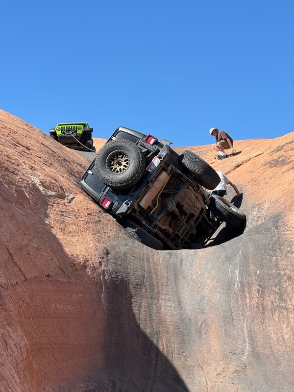
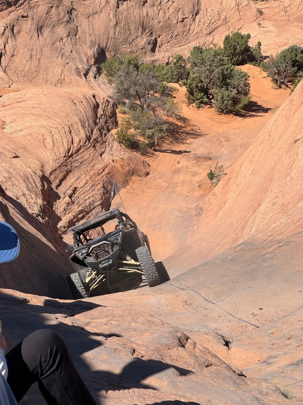
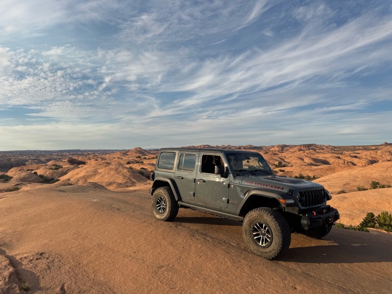
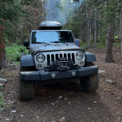
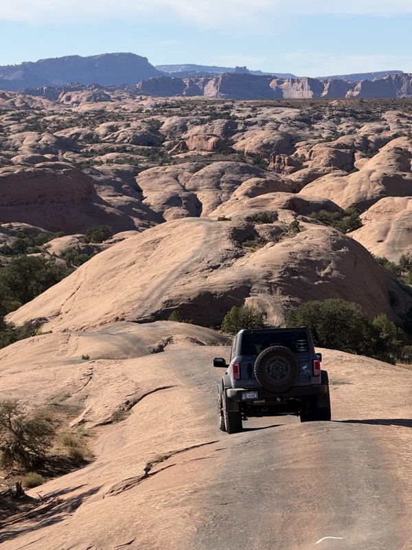
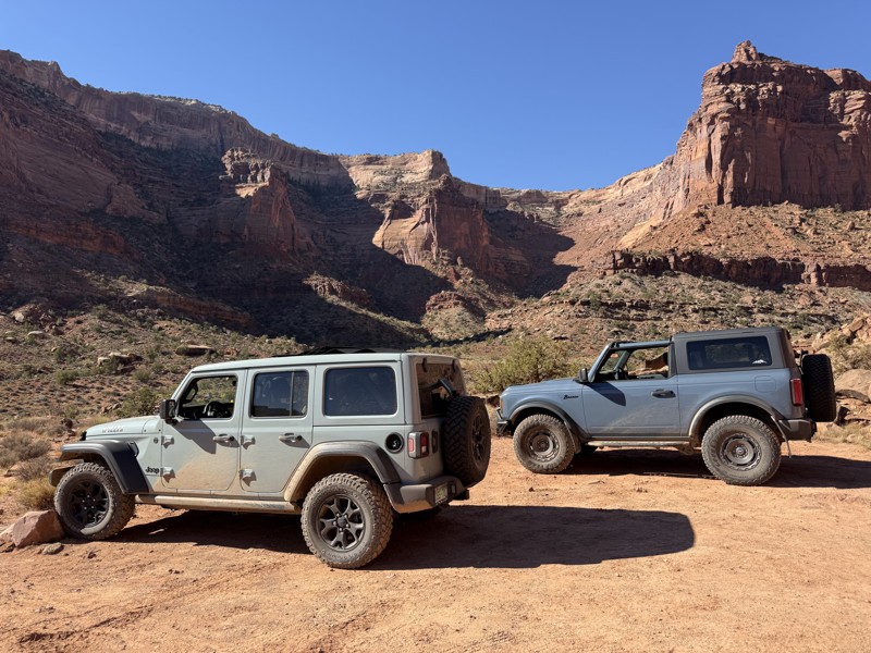
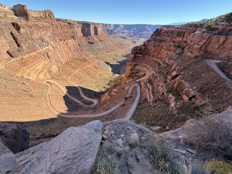
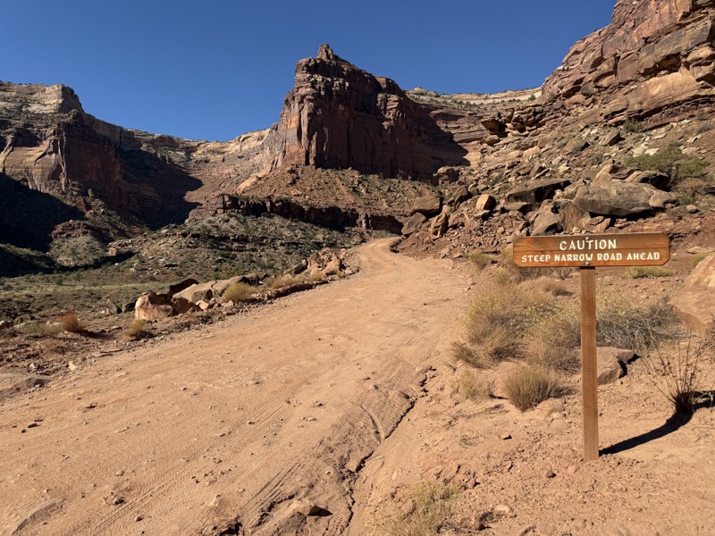
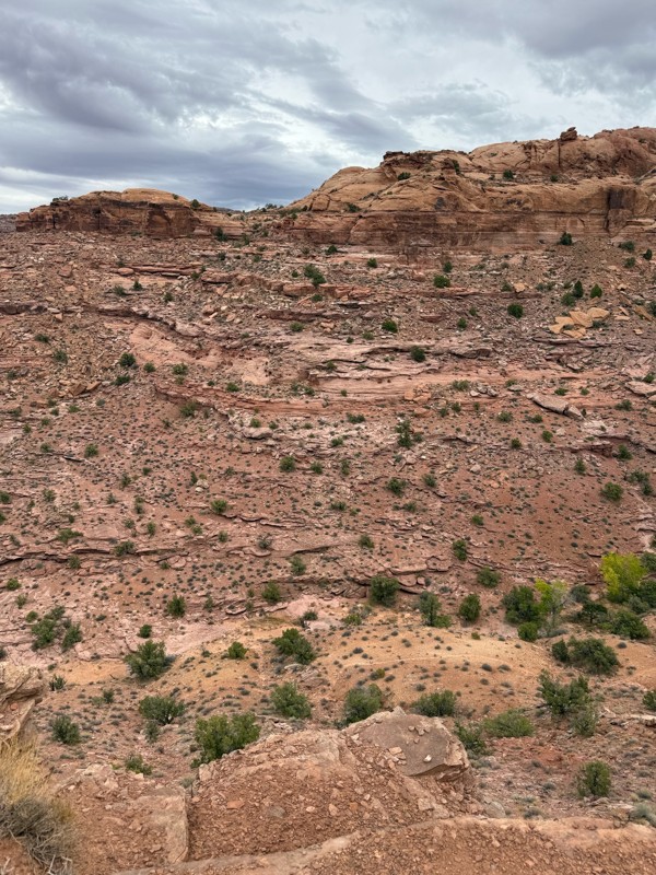
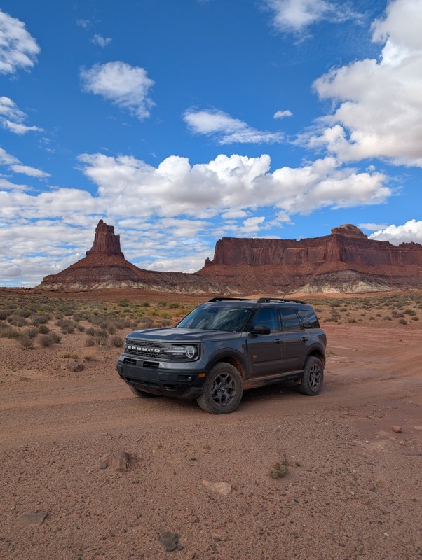
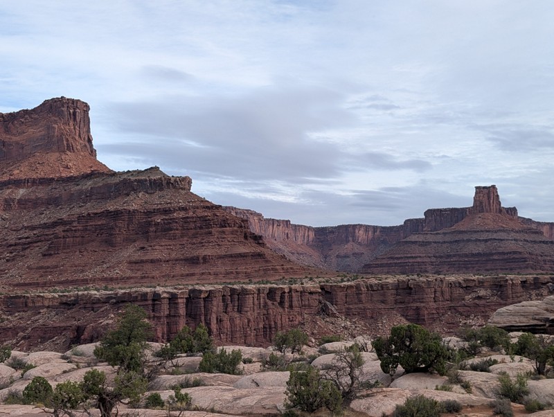
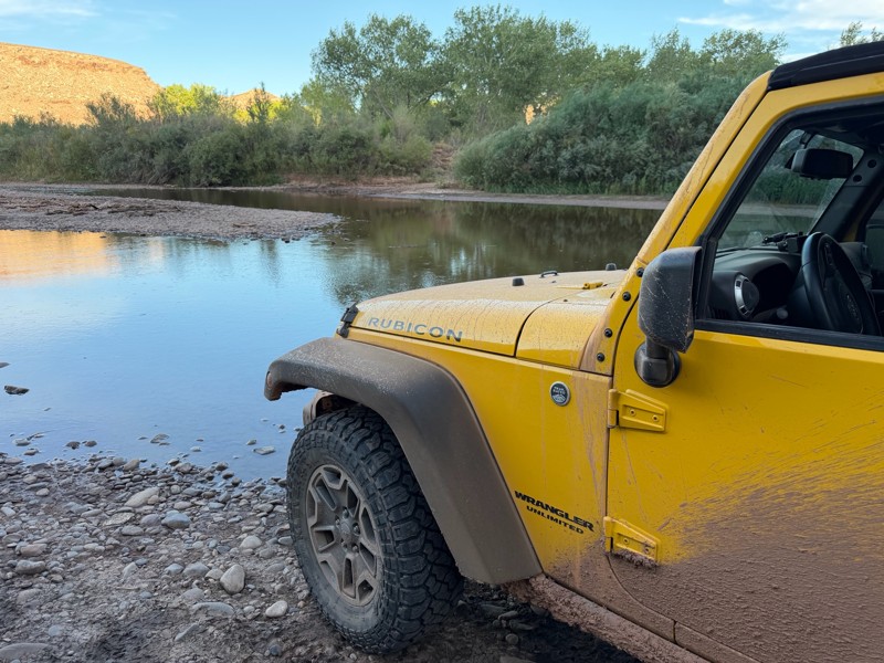
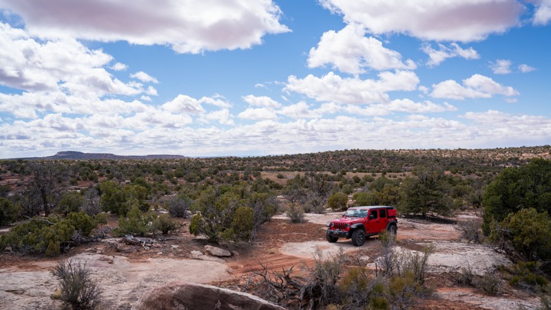
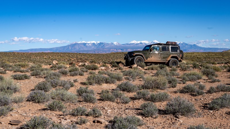
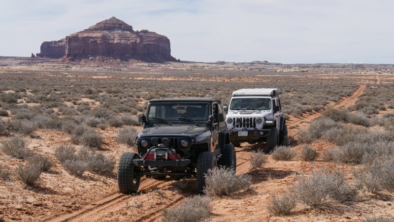
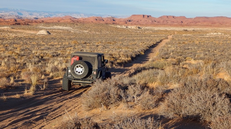
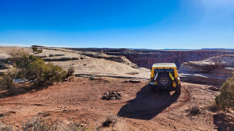
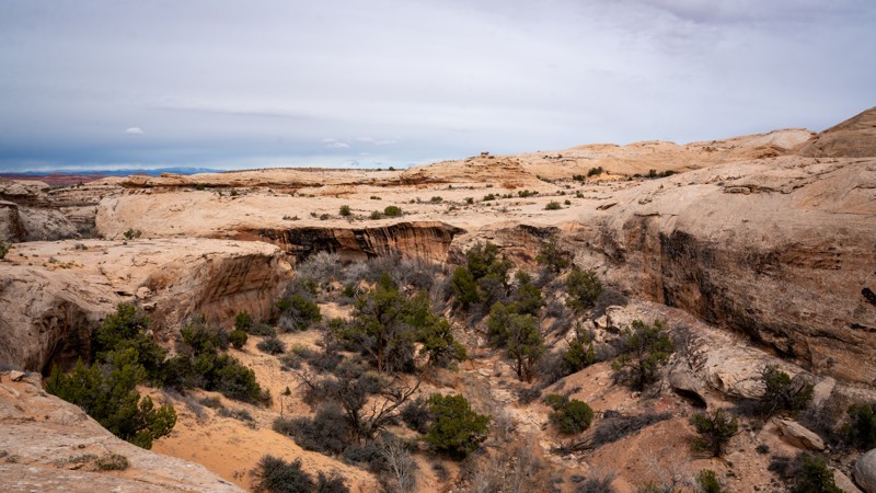
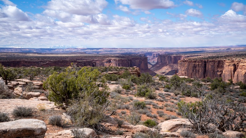
Moab, Utah, is renowned worldwide as a premier destination for offroad enthusiasts. Nestled in the heart of the American Southwest, Moab offers a diverse array of trails that cater to all skill levels. Whether it's an overland or rock crawling adventure you are looking for, this stunning red rock landscape offers 100s of open roads and trails that range from easy to extreme. The area spans over 103,000 square miles and includes lands managed by the Bureau of Land Management, The Manti-La Sal National Forest, Utah State Trust Land, Arches and Canyonlands National Parks, and the Sand Flats Recreation Area.

While the most well-known trails, such as Hell’s Revenge, Fins and Things, Poison Spyder, The White Rim Trail, and the Rimrocker, are typically the main attractions, the area is home to plenty of hidden gems worth exploring.

While visiting and riding the trails, enjoy Arches and Canyonlands National Parks to round out your trip. Plan accordingly because Arches now has a timed entry system from April through November, where you need a permit to enter. It is also important to know that summers can have extreme heat with monsoons, and even though it is a high-plain desert, it can snow in the winter months.

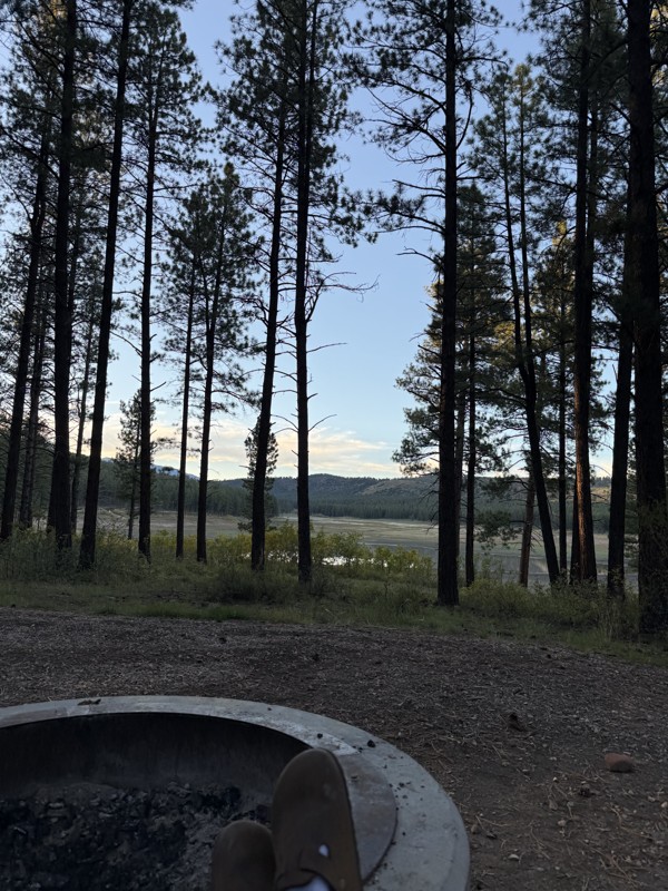
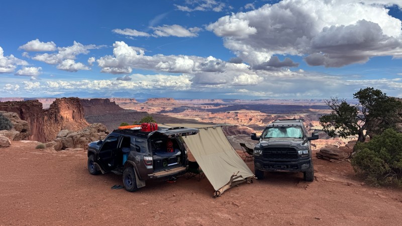
Dispersed camping is limited and only available in designated areas. Each Trails Offroad trail guide lists the various camping opportunities, including BLM’s designated campsites. BLM also manages several campgrounds with vault toilets and picnic tables. Within the town of Moab, you can find various lodging and dining opportunities and repair and maintenance services for your vehicle.


Top Reasons to Explore Here

Basemaps
Go All-Access to Unlock


TRAILS OFFROAD™ TRAIL TYPES
Trail Guide
Full detailed write up with Advanced Rating System, Waypoints, Video, and more.
Scout Route
Lite version with highlights, camping, and hardest part documented. Vetted in person.
TRAIL DIFFICULTY RATINGS
easy (1-2)
Suitable for high clearance 2WD
moderate (3-4)
Best suited for a high clearance 4x4
difficult (5-6)
Best suited for a lightly modified 4x4
severe (7-8)
Best suited for a highly modified 4x4
extreme (9-10)
Best suited for specialized buggy type vehicles
LAYERS

Most Recent Trail Reviews

Most Popular

Search for Trails
Utah: Kane Creek Canyon Overlook Hero Photo
Scout Route Icon
5/5 (2 reviews)
Updated: 04/01/2025

Kane Creek Canyon Overlook

Spanish Valley, Utah

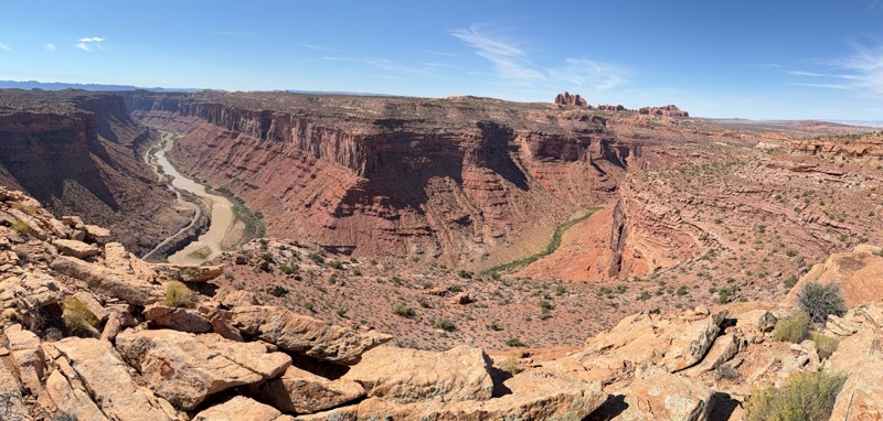
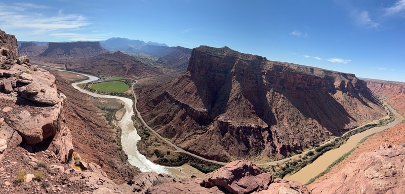
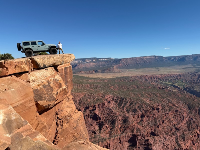
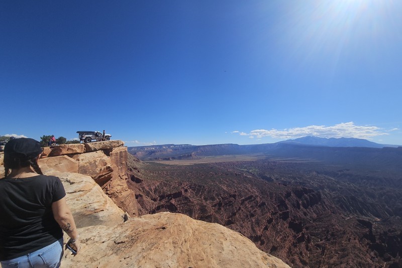
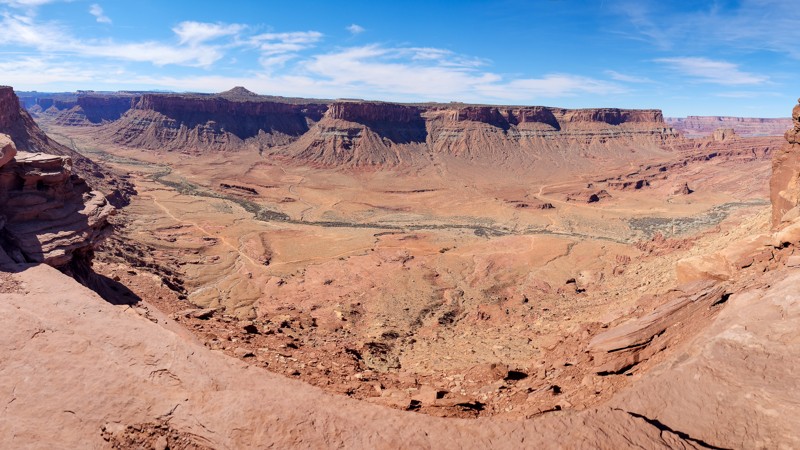
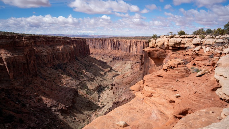
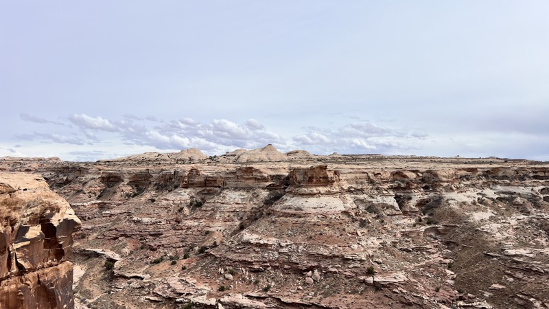
Magazine cover views abound at the end of this short out-and-back trail to the Kane Creek Canyon Overlook. The rocky, bumpy, 1.5-mile-long slow-going trail offers continuous unobstructed views of Behind the Rocks and the La Sal Mountains before ending at a spectacular viewpoint overlooking Kane Creek Canyon. This 360° panoramic view is like no other in Moab.

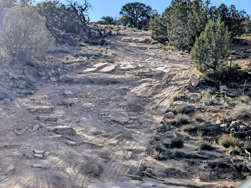
During the drive, you will encounter 6-8" rock steps mixed with loose dirt that can be completed in stock-type 4x4s with durable tires and high-ground clearance. At the end of the trail, you cross an old drill platform area that is large and flat, suitable for several vehicles camping with offroad trailers, rooftop tents, or ground tents. The overlook can accommodate 4-6 vehicles safely and offers a small, level spot used for camping but has little shelter from the wind.

Utah: D1031 Hero Photo
Scout Route Icon
4/5 (2 reviews)
Updated: 10/15/2024

D1031

Moab, Utah

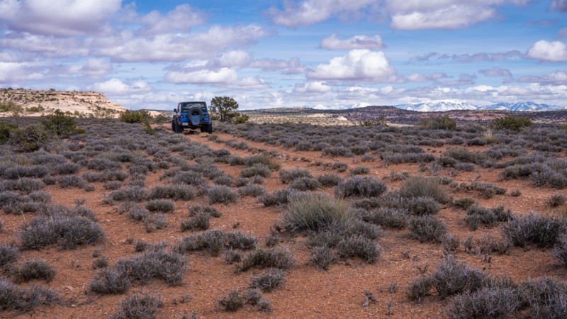
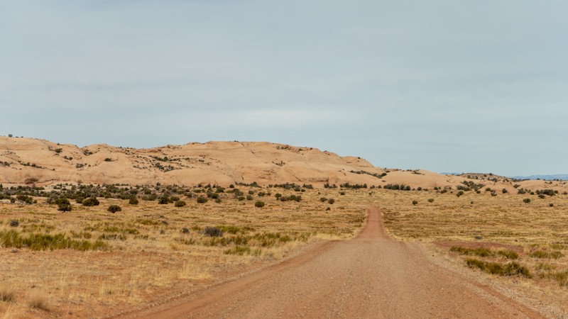
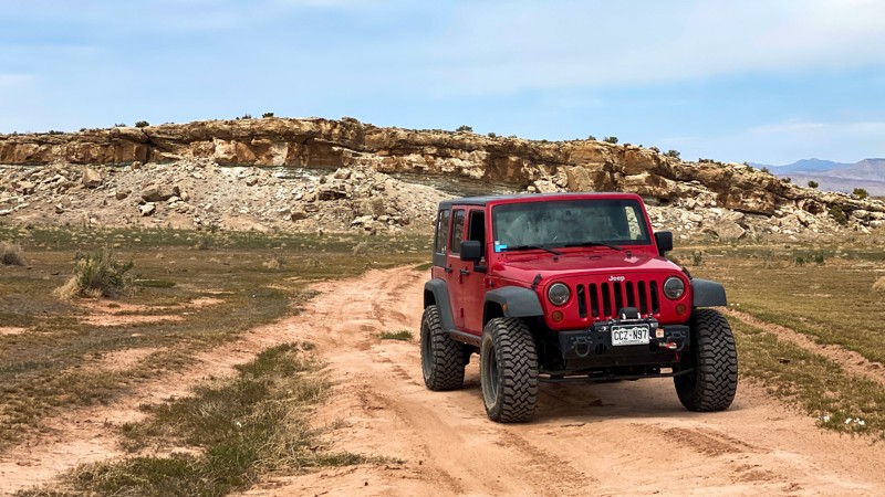
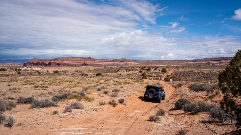
D1031 is a straight-through, lightly used sandy two-track that follows a high ridgeline between Mineral Bottom and Big Draw. The sandy trail has short sections of bumpy slickrock up to 10" ruts. The trail passes through extremely tight brush and trees where branches are likely to scratch your paint. The trail provides scenic views of the La Sal Mountains and has two great campsites with amazing cliffside views. Although the road is rough, any high-clearance vehicle will easily handle this trail in 2WD. Airing down is highly recommended to smooth the ride.

Utah: D1122A Hero Photo
Scout Route Icon
4/5 (1 reviews)
Updated: 10/15/2024

D1122A

Moab, Utah

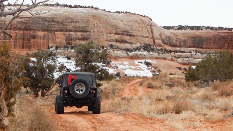
Bridging the gap between D1136 and Mineral Bottom Road, D1122A is a moderate trail that drives through typical Moab desert scenery. Sandy and smooth dirt stretches give way to rocky patches that may concern beginners and stock 4WD vehicles. The most challenging section is right where it branches off D1136, so you will quickly see if you are comfortable driving this trail. There are several dispersed campsites with plenty more opportunities on nearby spurs.

Utah: D1301, D1308 Hero Photo
Scout Route Icon
5/5 (1 reviews)
Updated: 10/15/2024

D1301, D1308

Moab, Utah

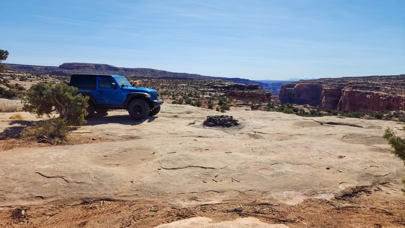
Branching off D1136 is a fantastic, moderately rated loop offering incredible North Fork Mineral Canyon views. Take a break and enjoy the peace and solitude at the end of this loop. Spanning 4 miles in length, this trail has a few minor bumps but should not require 4WD. Sadly, there is no camping on this trail, but many nearby spurs have good options for dispersed camping.

Utah: Spring Canyon Well Hero Photo
Scout Route Icon
1/5 (1 reviews)
Updated: 03/27/2025

Spring Canyon Well

Moab, Utah

A short section of graded road leads to Oil and Gas activity in the area. It leads to a portion of the Secret Spire Route run for Easter Jeep Safari.

Utah: Fallen Peace Officer Trail Hero Photo
Scout Route Icon
5/5 (1 reviews)
Updated: 05/01/2026

Fallen Peace Officer Trail

Moab, Utah

The Fallen Peace Officer Trail is a rugged 14-mile loop north of Moab, Utah, between Highway 191 and Arches National Park. It climbs to a high ridge with sweeping valley and La Sal Mountain views. The southern section pushes the harder end of the moderate rating. Expect steep, rocky climbs and technical ledges up to 18 to 24 inches. About 3 miles of the northern section overlap with the Copper Ridge Safari Route. There are stretches of rolling hills and several sandy wash crossings.

The project of creating this trail began following the 2010 shooting of Utah State Parks Officer Brody Young, who was critically wounded in a shootout at the Poison Spider Mesa trailhead. Dedicated in 2013 by the Utah Peace Officers Association, the trail serves as a living memorial to Utah law enforcement officers who have been killed or injured in the line of duty. The trailhead is located on Utah State Trust land and is accessible from Highway 191, approximately 13 miles north of the Colorado River bridge outside Moab.

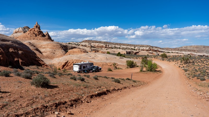
There is a large camping area at the trailhead, suitable for big RVs or trucks towing trailers. In addition, a popular dispersed camping area can be found nearby along Klondike Bluffs Road. There are also a few small, undesignated campsites scattered along the trail itself for those seeking more secluded spots.


Utah: 2538 Rainbow Rock Spur Hero Photo
Scout Route Icon
2/5 (1 reviews)
Updated: 10/15/2024

2538 Rainbow Rock Spur

Crescent Junction, Utah

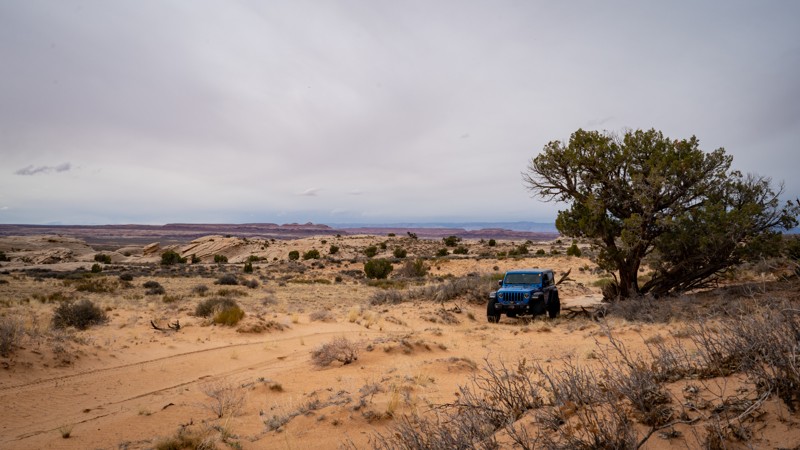
Set deep in the Rainbow Terrace area, 2538 is a short, sandy dead-end spur off Rainbow Rocks. The trail has exemplary views of the surrounding sandstone buttes. The trail abruptly ends at the Enduro Loop motorcycle trail. The trail is all soft sand with a couple of off-camber wash crossings.

Utah: D2766 Moab Hero Photo
Scout Route Icon
2/5 (1 reviews)
Updated: 10/15/2024

D2766 Moab

Green River, Utah

A very short part of the Dead Cow network of dirtbike trails, D2766 is a full-size vehicle crossover trail between D2761 and D2800. The trail is a bumpy, sandy, straight cut across the scrub brush. Be aware of the hidden boulder under the sand. There are no campsites along this route. Camping is available along 10 Mile Point and other trails.

Utah: D1523 Hero Photo
Scout Route Icon
3/5 (1 reviews)
Updated: 10/15/2024

D1523

Moab, Utah

This short spur off Spring Canyon Point leads to a small campsite with big views down into the Green River Canyon. The spur isn't difficult, and the camping area is large enough for a single vehicle. 
Utah: D2703 Hero Photo
Scout Route Icon
2/5 (1 reviews)
Updated: 10/15/2024

D2703

Crescent Junction, Utah

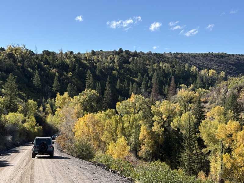
Hidden away in the Labyrinth Rims region of Moab is a network of seldom used trails. D2703 is one of the many spurs offering great views and a bit of solitude. This easy spur is 2 miles long and easy for any high clearance vehicle, with only sandy patches to worry about. The trail dead ends at Trough Canyon, a small, pretty canyon typical in this area of Utah. A motorcycle trail continues, but full-size vehicles must turn around on the rocky rim. There are no campsites along this trail, although many nearby spurs have great dispersed camping opportunities.

Utah: D1290 Hero Photo
Scout Route Icon
4/5 (1 reviews)
Updated: 03/19/2025

D1290

Moab, Utah

D1290 is a 2.5-mile out-and-back trail to an overlook of the North Fork Mineral Canyon. This trail's remote isolation adds to the peacefulness while you are out here. This is not an overly difficult trail, so new drivers and stock high-clearance 4WD vehicles will enjoy this trail. There are only a handful of small rocky obstacles to conquer. There's no campsite along the trail, but many nearby spurs offer great dispersed camping.

Utah: D2664 Hero Photo
Scout Route Icon
3/5 (2 reviews)
Updated: 10/15/2024

D2664

Crescent Junction, Utah

Traveling to a lookout point over the broad and colorful Rock Canyon, D2664 makes for a perfect stop for lunch or a leg stretch when doing other trails in the area. On your way out to the viewpoint, a mild obstacle is just at the starting point near the start from D2662, requiring high clearance. It is important to note that base maps will show this road continuing as a loop to where you could eventually look down into Tenmile Canyon. However, that section of the trail was closed in 2023. Suitable camping does not exist along this route.

Utah: Long Valley Cutoff Hero Photo
Scout Route Icon
3/5 (1 reviews)
Updated: 10/15/2024

Long Valley Cutoff

Thompson Springs, Utah
An easy connector road over the ridge to reach Long Valley. Although there are several flat locations, there are no pre-existing campsites. The trail has Interesting rock formations off in the distance and offers a good look back of Utahraptor Ridge to the northeast. This is the easiest of the roads going over the ridge that separates Long Valley and Little Valley.
Utah: D1411 Hero Photo
Scout Route Icon
2/5 (1 reviews)
Updated: 10/15/2024

D1411

La Sal, Utah

The first legal primitive camping you'll encounter when entering from Highway 191 is this short out-and-back sandy two-track. The trail leads up to a turn-around campsite with room for 3 to 4 vehicles with tents. The trail is soft sand and requires high clearance and AWD. It's ideal for overland camper vans, far enough off the road for privacy, and the sunrise wake-up views of the La Sal Mountains are fantastic.

Utah: D1494 Hero Photo
Scout Route Icon
5/5 (1 reviews)
Updated: 04/01/2025

D1494

Moab, Utah

D1494 is a short, out-and-back camping spur off of Spring Canyon Bottom. There are 7 well-spaced campsites along this trail, all offering great views and plenty of personal space. The trail surface is a mix of hard-packed dirt and slickrock. The slickrock makes the drive bumpy at times but not difficult. Any vehicle with decent ground clearance can make the trek back to the farthest campsites. A few of the campsites look back towards Spring Canyon Bottom Road, while a few others overlook Hell Roaring Canyon. The campsites here are suitable for any type of camp setup, but long trailers should use caution due to some of the raised slickrock in sections that could snag underside stabilizers.

Utah: Athena Trail Hero Photo
Scout Route Icon
3/5 (1 reviews)
Updated: 08/11/2025

Athena Trail

Green River, Utah

Named after the 1970's missile and the popular mountain bike trail that begins along this route, Athena Trail also has one of the last standing relics of the Green River Missile Launch Complex. In dry conditions, the trail can be completed in 2WD with high clearance and durable tires. The trail winds through rugged rolling hills with a couple of small campsites with stone fire rings. The trail leads out to an old launch site that has been left standing after 50 years. In 2024, the BLM removed all the old structures from the area. There is a turnaround area at the launch site where you can explore.

Utah: Sevenmile Canyon Overlook Hero Photo
Scout Route Icon
5/5 (1 reviews)
Updated: 05/05/2025

Sevenmile Canyon Overlook

Moab, Utah

D1821 is a short, dead-end spur off the 7UP trail that leads past a few small campsites to a fantastic overlook of the Sevenmile Canyon area. The trail is rough, rocky, and slow, with a few 10" slickrock steps requiring careful tire placement for vehicles with smaller tires. The ending provides a nice campsite for one or two vehicles and views of 7 Mile Point, Merrimac Butte, and the La Sal Mountains. The trail is suitable for any high clearance 4-wheel drive vehicle.
Utah: D2036 Hero Photo
Scout Route Icon
4/5 (2 reviews)
Updated: 10/15/2024

D2036

Moab, Utah

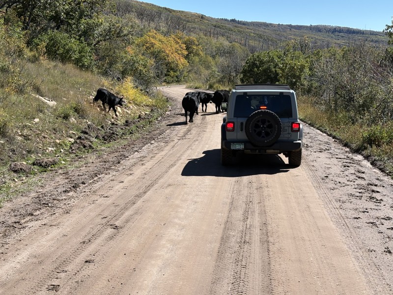
D2036 can be driven in any direction and follows a portion of the Easter Jeep Safari Secret Spire Route. The road is a mix of sandy two-track, with one slickrock climb/decent on the northern edge. To the south side of the slickrock climb are a few 1' to 2' tall ledges to manage, but any high-clearance stock SUV can handle them. There are no dispersed camping opportunities along the route.

Utah: D2718 Hero Photo
Scout Route Icon
1/5 (1 reviews)
Updated: 05/12/2025

D2718

Crescent Junction, Utah

D2718 is a jumper trail between Duma Point Road, and D2700. At just over 1 mile, this moderate trail takes no time in any high clearance vehicle. 4WD helps with the deep sand and small hills. The views around this region are consistent with the Moab desert with Dubinky Point to the south. Unfortunately, there are no campsites on this trail.
Utah: Robert's Bottom (Triangle Road) Hero Photo
All-Access Icon
4/5 (4 reviews)
Updated: 04/28/2026

Robert's Bottom (Triangle Road)

Dewey, Utah

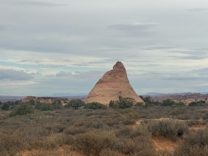
A wide, graded road with several designated dispersed campsites set against Entrada Sandstone or shaded by cottonwoods. Roberts Bottom Road transitions into Triangle Road, making it a common east–west corridor for overlanders traveling between Grand Junction and Moab. With multiple well-spaced sites, it’s an ideal place to stop for a night of camping.

Utah: D2629 Hero Photo
Scout Route Icon
2/5 (1 reviews)
Updated: 05/12/2025

D2629

Crescent Junction, Utah

Jumping between Duma Point Road and Rainbow Rocks (Rainbow Terrace), D2629 is a sandy 2.3-mile trail with good views of the surrounding valley and Dubinky Point. Although not a destination trail, this moderately rated trail is an excellent chance for beginners to tackle minor rocky obstacles and deep sand in stock 4WD vehicles. There are no campsites along this route, but many nearby trails have options for dispersed camping.

Utah: D2697 Hero Photo
Scout Route Icon
2/5 (1 reviews)
Updated: 10/15/2024

D2697

Crescent Junction, Utah

Acting as a halfway jumper between D2700 and B338, this moderately rated trail provides scenery typical of the Labyrinth Rims region of Moab, with sagebrush, junipers, and Mormon tea dotting the golden sand. There are no difficult obstacles, although a few rocky patches may slow down new drivers and stock vehicles. Due to the patches of soft sand, 4WD is recommended. There are no campsites on this trail, but many nearby spurs have great dispersed camping opportunities.

Utah: D1266A Hero Photo
Scout Route Icon
5/5 (1 reviews)
Updated: 04/01/2025

D1266A

Moab, Utah

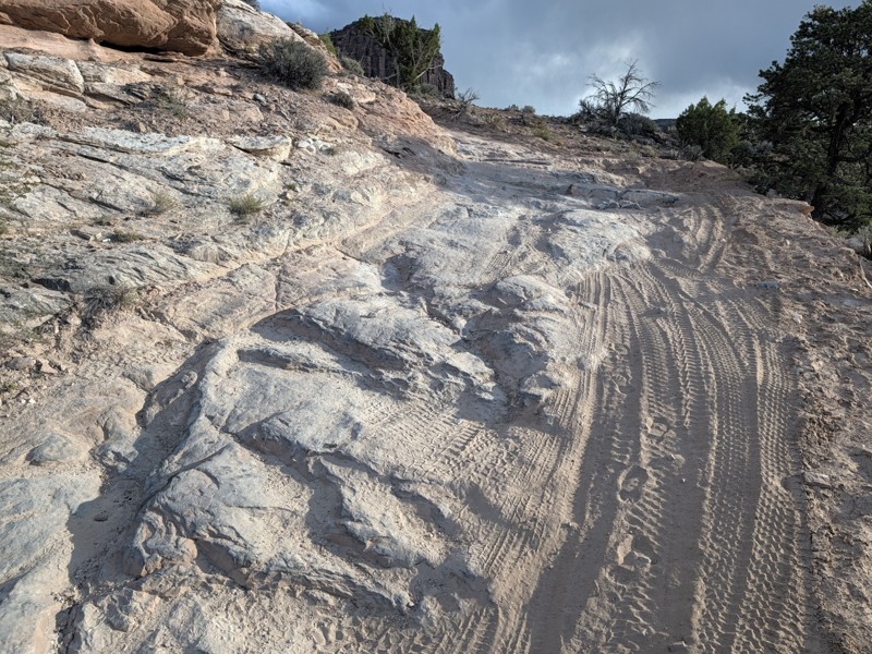
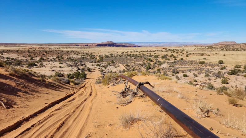
D1266A is a 1.75-mile straight-through connecting trail between Spring Canyon Bottom and Tibbetts Arch that follows a rusty pipeline its entire length. The trail is part of the Hell Roaring Rim Jeep Safari route and is most commonly run from north to south. The trail surface is a mix of sand and slickrock, with one long sandhill climb approximately halfway through and scattered slickrock ledges 8"-12" tall. The sandhill is deep, soft sand and offers a complete bypass route. However, any high clearance 4-wheel drive vehicle should easily conquer the hill with a little momentum. There is no suitable camping along this trail, but several wide areas of trail where you can pull over and enjoy the views.

Utah: Jewel Tibbetts Arch Hiking Trailhead Hero Photo
Scout Route Icon
2.5/5 (2 reviews)
Updated: 04/01/2025

Jewel Tibbetts Arch Hiking Trailhead

Moab, Utah

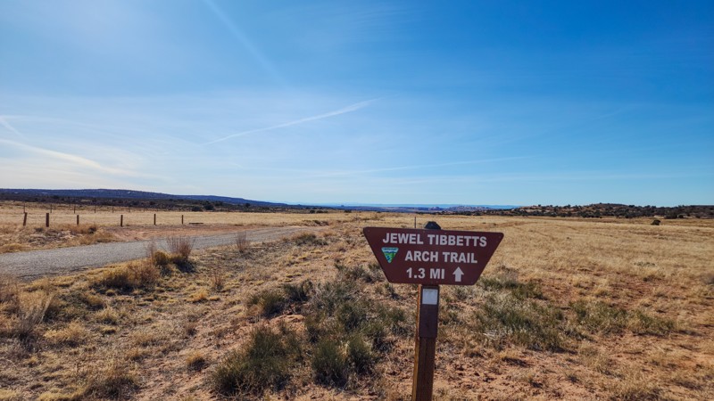
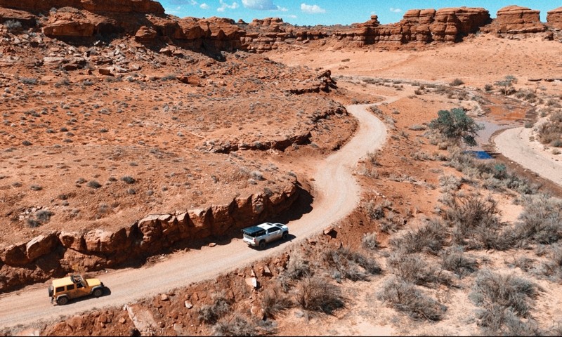
D1473 is the primary access road to the Jewel Tibbetts Arch hiking trailhead. The arch is located in Hell Roaring Canyon and is named after Jewel Tibbetts, a Moab rancher who lived about 10 miles away from the arch with her husband Bill in the 1950s and 1960s. They often took ranch visitors to see the arch.

Starting at Highway 313, the road is well-marked and traverses a mostly hardpacked sand surface with occasional sections of bumpy slickrock. You will find a cluster of dispersed campsites near the western terminus suitable for any vehicle or camp setup. The sites are large enough for multiple vehicles. Once the trail ends and intersects with Mineral Point Road to Spring Canyon Bottom Road, head southwest for another 0.3 miles to the official arch trailhead. The hike from this point is 2.1 miles roundtrip and takes about 2 hours to complete. If you have a capable, high clearance 4-wheel drive vehicle and want to skip the hike but still see the arch, continue south another 0.83 miles, where you can jump on D1463, which leads to a viewpoint of the arch that only requires a few hundred-yard hike.