Region

Moab

Utah

Offroad Trails in Moab

A Region within Utah
4.5/5 (2931)

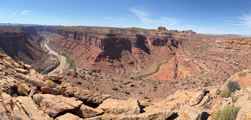
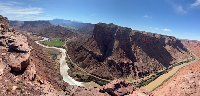
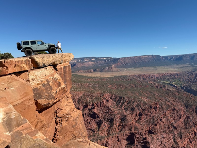
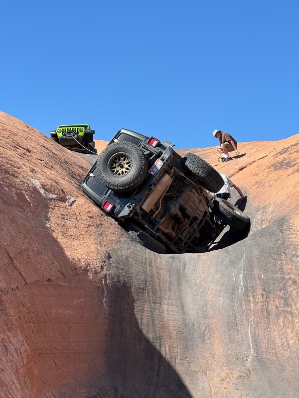
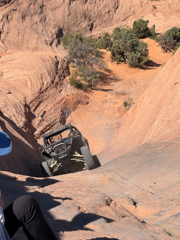
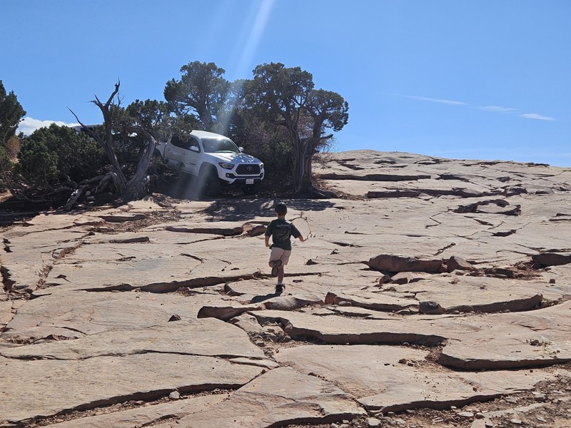
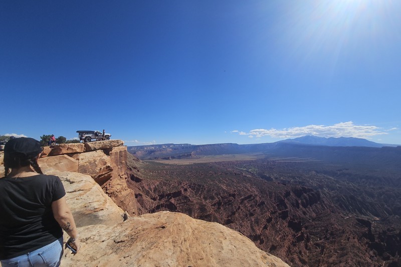
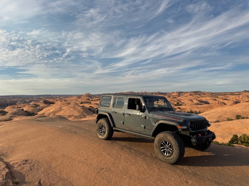
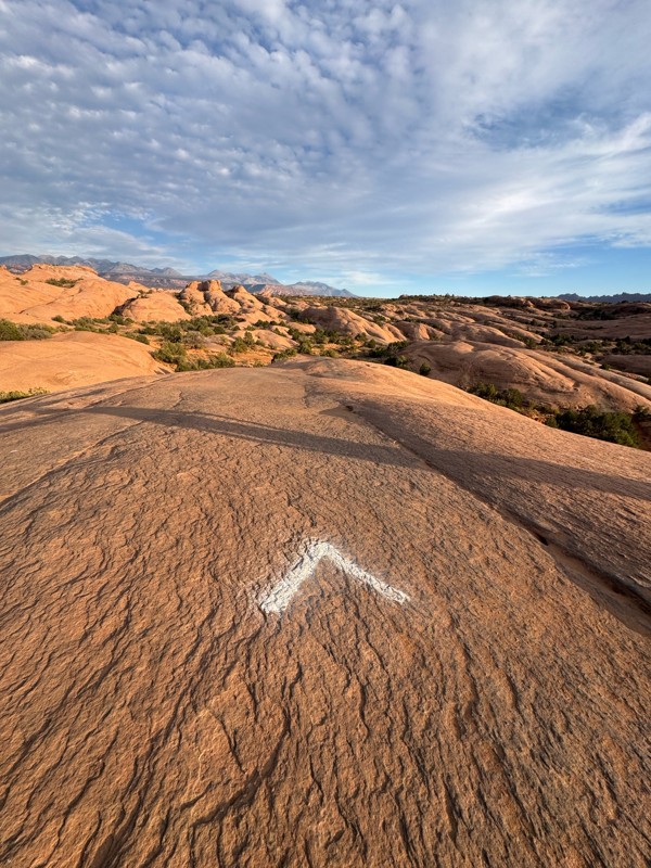
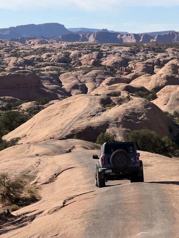
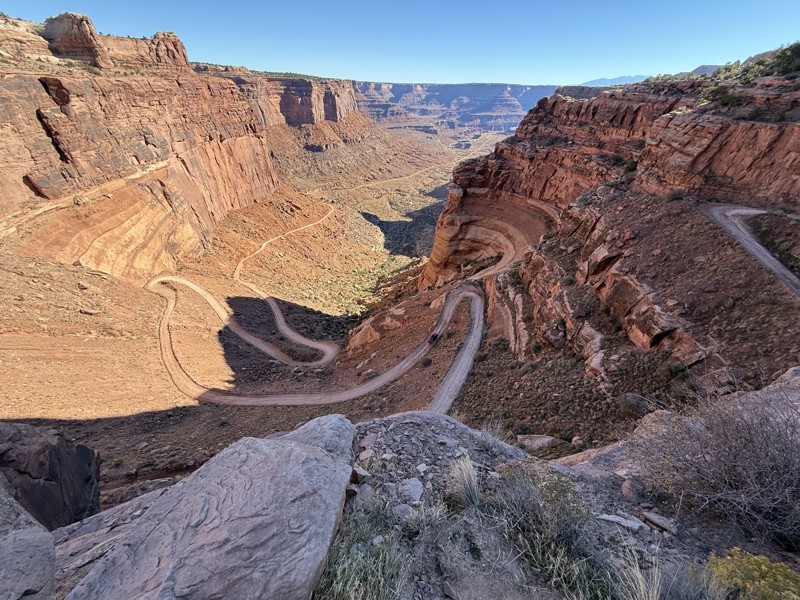
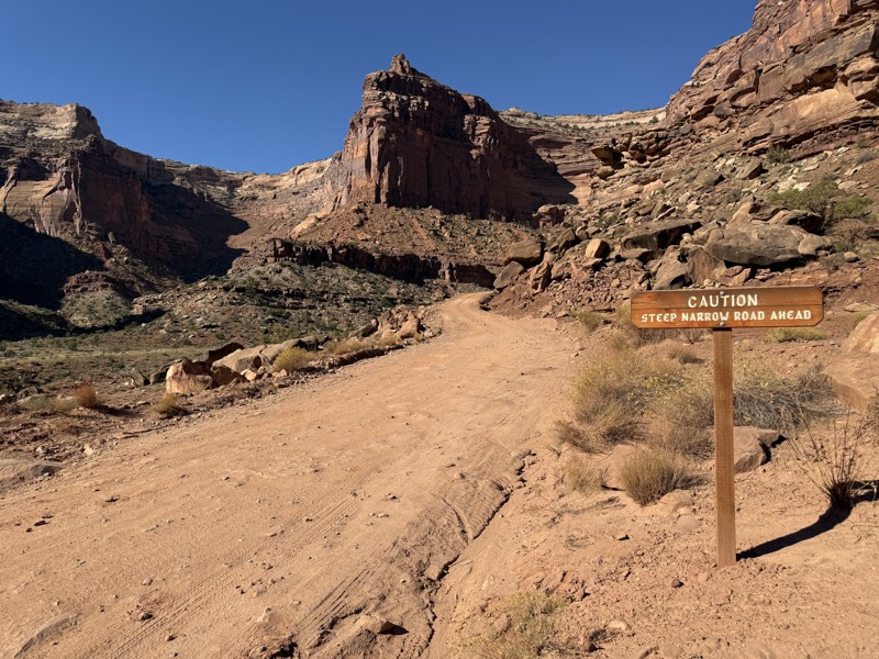
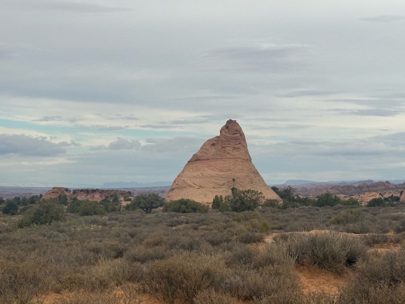
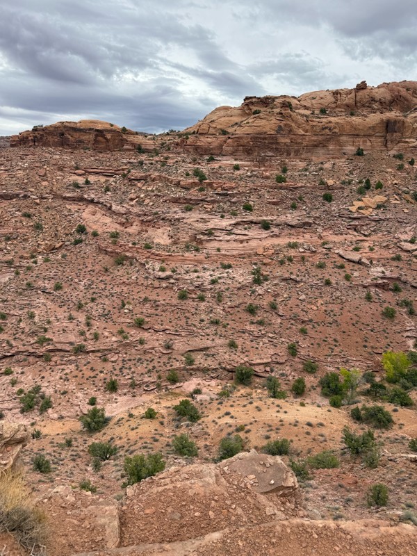
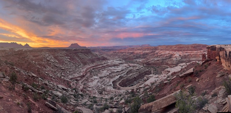
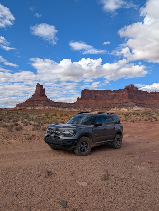
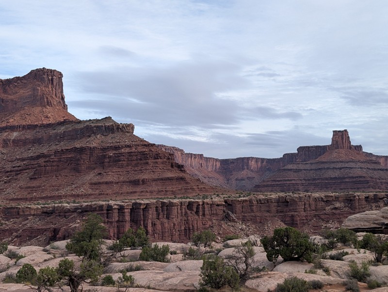
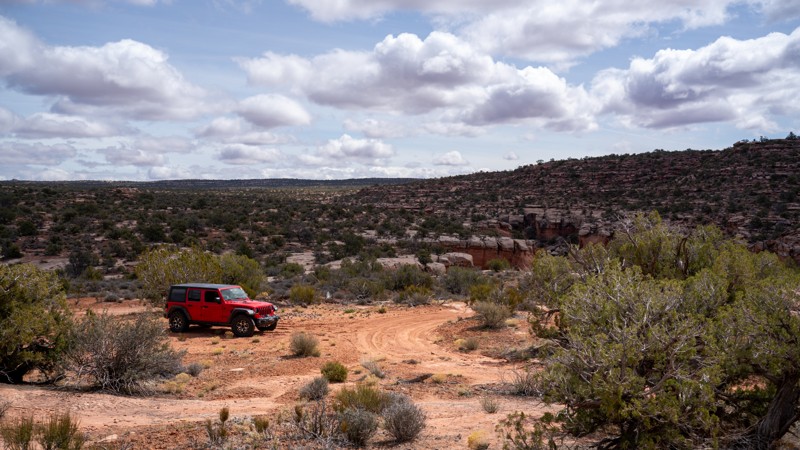
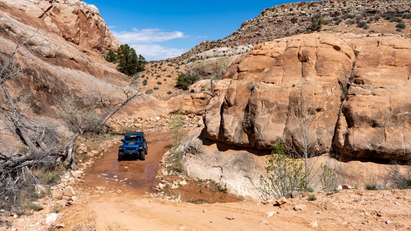
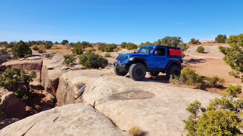
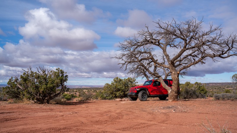
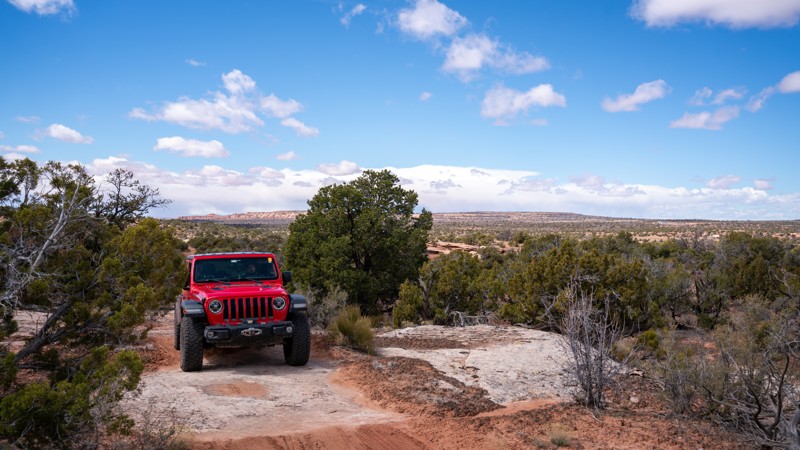
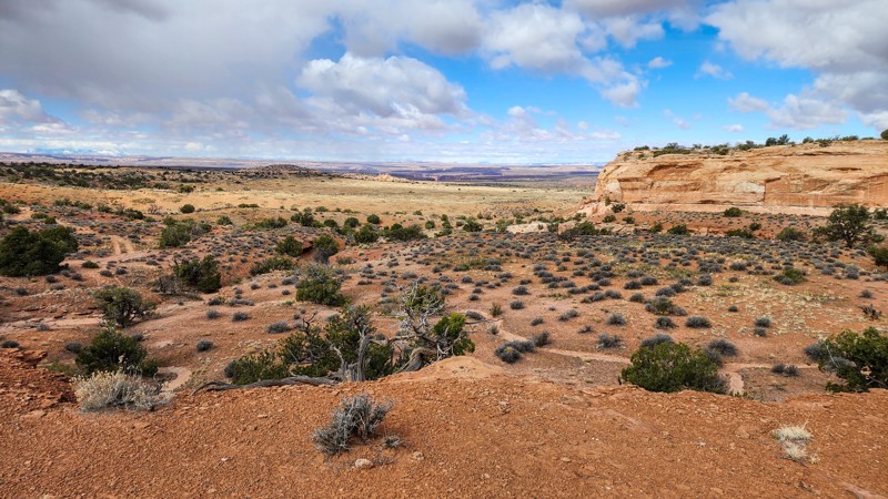
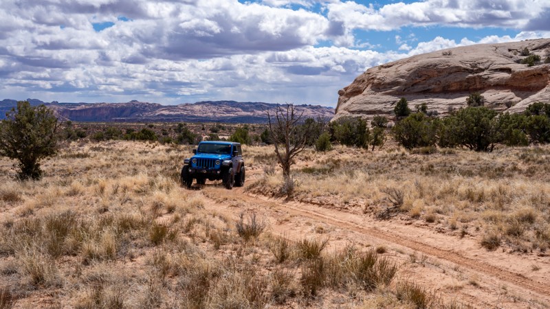
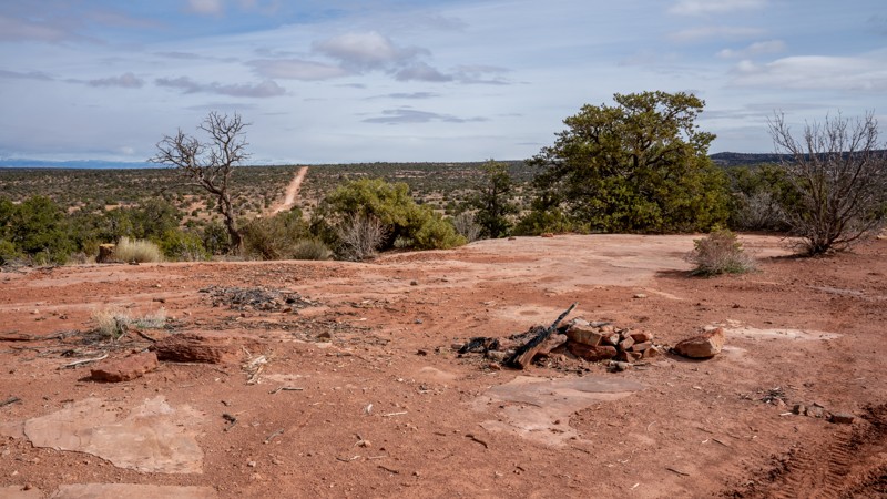
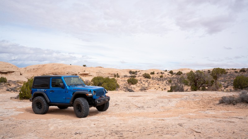
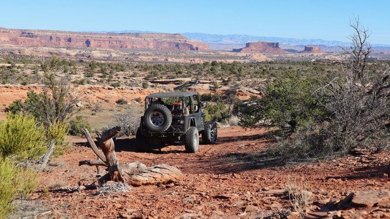
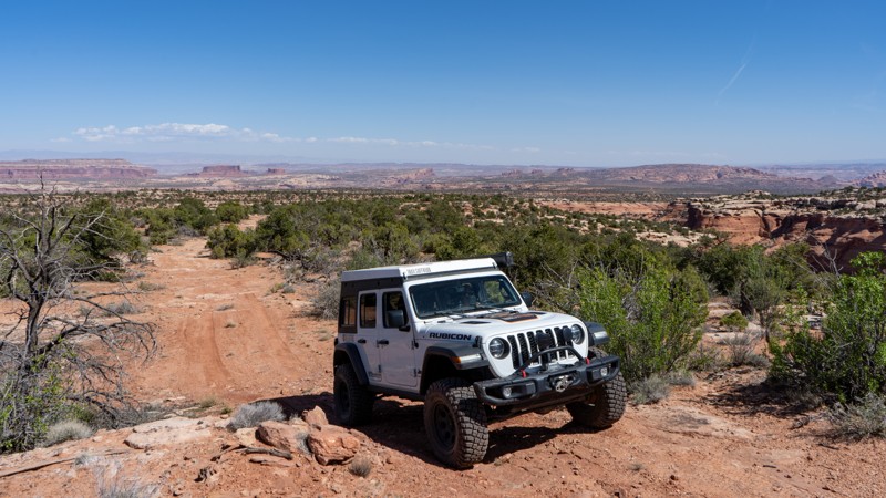
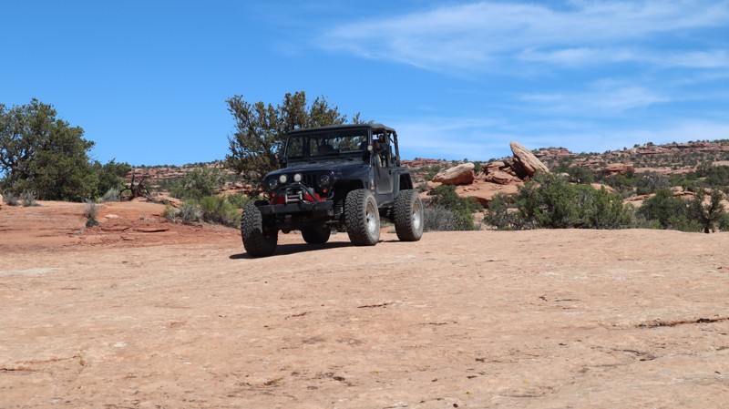
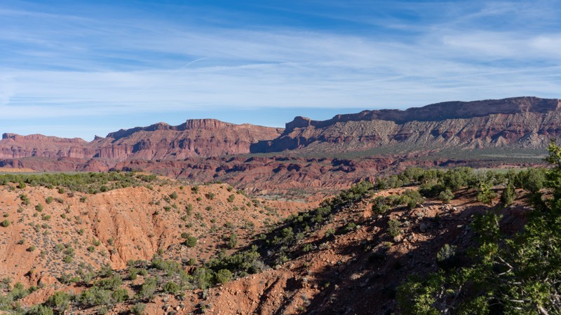
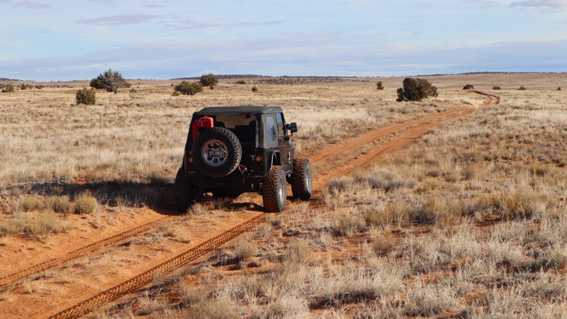
Moab, Utah, is renowned worldwide as a premier destination for offroad enthusiasts. Nestled in the heart of the American Southwest, Moab offers a diverse array of trails that cater to all skill levels. Whether it's an overland or rock crawling adventure you are looking for, this stunning red rock landscape offers 100s of open roads and trails that range from easy to extreme. The area spans over 103,000 square miles and includes lands managed by the Bureau of Land Management, The Manti-La Sal National Forest, Utah State Trust Land, Arches and Canyonlands National Parks, and the Sand Flats Recreation Area.

While the most well-known trails, such as Hell’s Revenge, Fins and Things, Poison Spyder, The White Rim Trail, and the Rimrocker, are typically the main attractions, the area is home to plenty of hidden gems worth exploring.

While visiting and riding the trails, enjoy Arches and Canyonlands National Parks to round out your trip. Plan accordingly because Arches now has a timed entry system from April through November, where you need a permit to enter. It is also important to know that summers can have extreme heat with monsoons, and even though it is a high-plain desert, it can snow in the winter months.

Dispersed camping is limited and only available in designated areas. Each Trails Offroad trail guide lists the various camping opportunities, including BLM’s designated campsites. BLM also manages several campgrounds with vault toilets and picnic tables. Within the town of Moab, you can find various lodging and dining opportunities and repair and maintenance services for your vehicle.


Top Reasons to Explore Here

Basemaps
Go All-Access to Unlock


TRAILS OFFROAD™ TRAIL TYPES
Trail Guide
Full detailed write up with Advanced Rating System, Waypoints, Video, and more.
Scout Route
Lite version with highlights, camping, and hardest part documented. Vetted in person.
TRAIL DIFFICULTY RATINGS
easy (1-2)
Suitable for high clearance 2WD
moderate (3-4)
Best suited for a high clearance 4x4
difficult (5-6)
Best suited for a lightly modified 4x4
severe (7-8)
Best suited for a highly modified 4x4
extreme (9-10)
Best suited for specialized buggy type vehicles
LAYERS

Most Recent Trail Reviews

Most Popular

Search for Trails
Utah: D2710 Hero Photo
Scout Route Icon
2/5 (1 reviews)
Updated: 10/15/2024

D2710

Crescent Junction, Utah

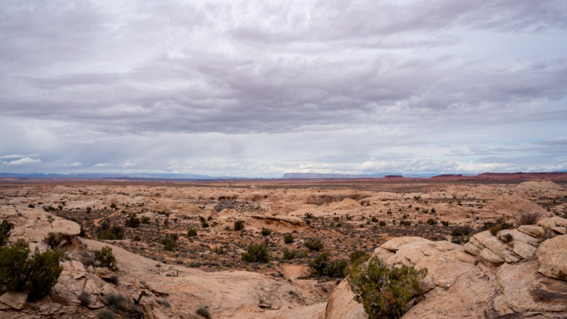
Tucked away in a less visited part of the Labyrinth Rims region of Moab, the D2700s trails offer peace and solitude, with small challenges and a lot of scenery. While D2710 is on the easier side of moderate, this trail has great scenery in almost every direction. Although there is no camping along this trail, many nearby spurs have good options for dispersed camping.

Utah: Ten Mile Canyon Overlook Hero Photo
Scout Route Icon
2.5/5 (2 reviews)
Updated: 04/01/2025

Ten Mile Canyon Overlook

Crescent Junction, Utah

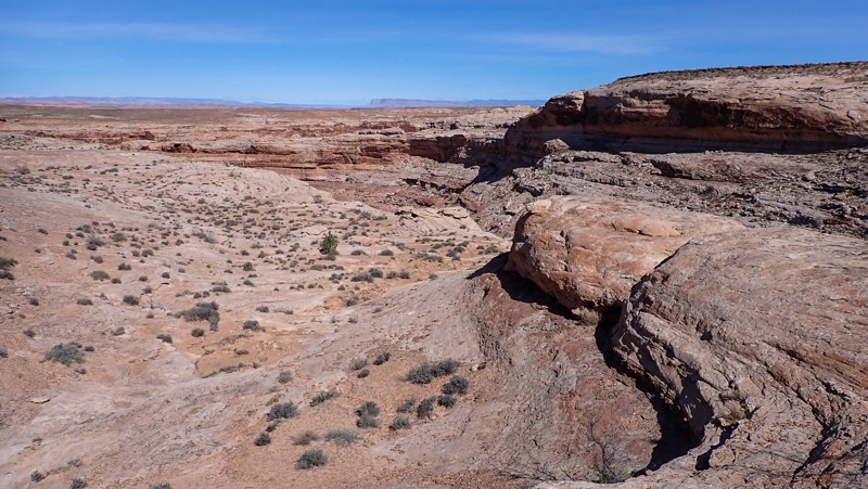
Located at the western end of the fantastic Lost World trail, D2701 quickly travels out and back to a breathtaking view on the rim of 10-Mile Canyon. The trail travels across patches of soft sand cut into the prairie grass and large sandstone slabs before ending at the rocks leading to the edge of the Canyon. You must park and walk a couple hundred feet over the white sandstone to enjoy the views. The ending is very small and tight and can only accommodate a few vehicles. Please do not drive beyond the designated track. The trail is located within a designated camping-only area along Ten Mile, but there are no designated sites along this track so you'll have to find another spot to set up camp for the night. Please be attentive with children and pets along the canyon edge.

Utah: D1291B Hero Photo
Scout Route Icon
3/5 (1 reviews)
Updated: 10/15/2024

D1291B

Moab, Utah

Branching off D1290, D1291B is a sandy, rocky out-and-back trail heading just over a mile to South Fork Mineral Canyon. Although the canyon is less than grand, it still offers the beautiful desert scenery that this region of Utah is known for. A few small challenges await users, but nothing that a stock 4WD vehicle cannot handle. The trail used to continue further but is now closed where the .gpx track ends. No campsites along this route exist, but many nearby spurs offer great dispersed camping opportunities.

Utah: Gold Mine Road Hero Photo
All-Access Icon
4.7/5 (4 reviews)
Updated: 04/28/2026

Gold Mine Road

Dewey, Utah

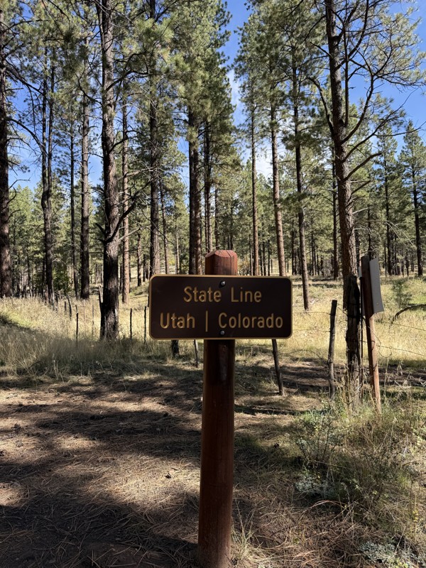
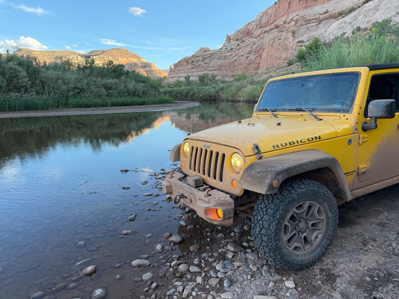
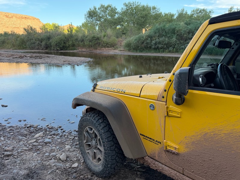
Gold Mine Road winds through Cow Canyon, tracing the Dolores River beneath towering canyon walls and shaded by stands of cottonwood trees. Connecting Entrada Bluffs/Shura Road to Triangle Road, it offers an iconic river crossing. A handful of well-placed campsites make it an ideal stop for overlanders traveling between Utah and Colorado. The route likely takes its name from historic mining activity near Big Pinto Mesa, adding a subtle layer of history to an already memorable drive.

Utah: D1480 Hero Photo
Scout Route Icon
4/5 (1 reviews)
Updated: 04/01/2025

D1480

Moab, Utah

D1480 is a short, out-and-back camping spur off of Spring Canyon Bottom. There are nearly a dozen campsites along this spur. The first half of them are easily accessible by any type of camp setup, including RVs and trailer trailers. The last half is best suited for vehicle camping and small trailers only. The trail surface is primarily hard-packed sand and dirt with occasional sections of exposed, flat, slickrock. The deeper into the trail you travel, the more slickrock you will encounter. The slickrock areas are not difficult but can be a bit rough and bumpy on passenger cars. The trail ends at several campsites that offer fantastic views of Hell Roaring Canyon.

Utah: D1280 Hero Photo
Scout Route Icon
3/5 (1 reviews)
Updated: 10/15/2024

D1280

Moab, Utah

Acting as a camping spur off Mineral Point, Waypoint 3, this short and sweet trail is not shy on options. Many of these sites are tucked into the trees that provide a fair amount of shade and are out of sight from the others. The further you drive back, the less likely you'll have neighbors. Most sites have plenty of flat sandy spots to pitch a tent. The trail is not difficult and does not require 4WD.

Utah: D1135 Hero Photo
Scout Route Icon
4/5 (1 reviews)
Updated: 10/15/2024

D1135

Moab, Utah

Another jumper between D1136 and Mineral Bottom Road, D1135 is an easy and quick option with good camping opportunities. There are no notable obstacles along this trail, so any higher-clearance vehicle should be acceptable. As with other spurs nearby, this area is less explored, making for a peaceful day on the trail. The campsites are quite nice, with several having large enough trees to provide shade from the summer sun.

Utah: Halfway Station Hero Photo
Scout Route Icon
4/5 (1 reviews)
Updated: 10/15/2024

Halfway Station

Moab, Utah

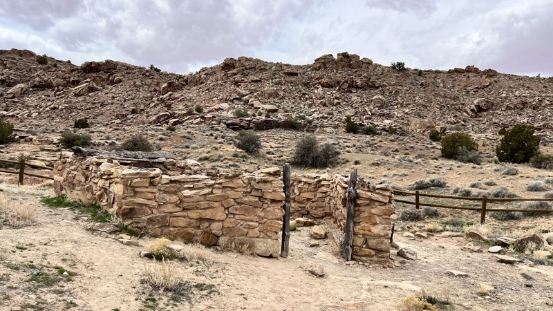
An easy dirt road that leads to The Upper Courthouse Station, also known as the "Halfway Station." Halfway Station was once used as a house that served as a place to eat a meal, change horses, rest a spell, or sleep overnight as travelers in the late 1800s made their way to the railroad 35 miles away in Thompson. It is illegal to remove, deface, or destroy historical resources and artifacts. The road is suitable for any vehicle, and there is no camping.

Utah: Big Pinto Mesa Hero Photo
Scout Route Icon
2.5/5 (2 reviews)
Updated: 05/01/2026

Big Pinto Mesa

Dewey, Utah

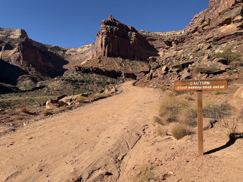
Big Pinto Mesa is a network of unnamed BLM “D” roads. While maps may show through access on the northwest and southwest corners, the northern route to Gold Mine Road is gated, and the southwestern route has long been washed away and is no longer passable by vehicle, making this a long, lollipop-shaped out-and-back. The trail begins on the southeast end with a sharply climbing, narrow, steep, and rocky shelf road section that requires a mild lift and larger tires. A long, rocky, and remote spur drops toward the Dolores River on the east side, though views are limited. Camping is very limited, with only one or two viable spots. Mining history is evident near the far north end, with additional remnants scattered throughout the area.

Utah: D1076 Hero Photo
Scout Route Icon
4/5 (1 reviews)
Updated: 10/15/2024

D1076

Moab, Utah

D1076 is a short dead-end spur road off of Mineral Bottom Road. The road is very rough, bumpy, and rutty, with several small exposed slickrock ledges and slabs. The rutty terrain will be sure to test your suspension flex, but otherwise, there are no major obstacles to contend with. The trail starts with campsites on both sides of the road that are very large, level, and great for groups or small trailers like popup campers. As the trail continues, climbing a somewhat steep and loose hill, it eventually traverses down a sandy and rocky two-track, finally ending at a large, flat campsite good for vehicle camping and ground tents. The trail is suitable for any high clearance 4WD vehicle and offers fantastic camping.

Utah: D1091B Hero Photo
Scout Route Icon
2/5 (1 reviews)
Updated: 10/15/2024

D1091B

Moab, Utah

D1091B is a short jumper road between Big Draw Trail and Mineral Bottom Road. It is a lightly used two-track with sections of sand and rough and bumpy slickrock striations. Due to light vehicle usage, route finding can be difficult along the slickrock. No pre-established campsites exist along this trail. This trail is suitable for any high clearance vehicle and airing down is highly recommended due to the brought terrain.

Utah: D1002 Hero Photo
Scout Route Icon
4/5 (1 reviews)
Updated: 10/15/2024

D1002

Moab, Utah

D1002 is a short and easy connecting trail between Mineral Bottom and D1000. The road is a mix of sand and exposed slickrock, making it a bit bumpy at times, yet still suitable for any high-clearance vehicle. The road can get very rutty and become impassable during heavy rain events. Although short, this road offers excellent dispersed camping options. Four fantastic campsites can be found along the drive that are large, flat, and perfect for any camp setup or any size group. These campsites offer great views of the surrounding area.
Utah: D2715 Hero Photo
Scout Route Icon
4/5 (1 reviews)
Updated: 10/15/2024

D2715

Crescent Junction, Utah

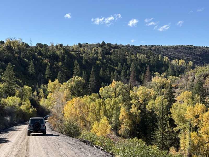
D2715 is a short and sweet spur off of D2700 in the Labyrinth Rims region of Moab. This area offers a lot, from hiking and biking to plenty of motorized recreation trails spanning hundreds of miles. D2700 is an incredible trail to drive for the scenery, while D2715 has its own draw. Although it is an easy sandy trail, the camping at the end is why you should come here. Tucked behind mounds of rock, this private and secluded campsite is one of the better ones in the area.

Utah: Calf Point Road Hero Photo
Scout Route Icon
5/5 (1 reviews)
Updated: 04/10/2026

Calf Point Road

Moab, Utah

A little-known, hardly used, and more challenging alternative to the easy Gemini Bridges, Calf Point Road will challenge the most capable stock-type 4x4s. The trail shares portions and name with the Bull Run mountain bike trail, where you must stop & yield to cyclists. Please be courteous on this contentious route; it's a restoration area and a shared trail. The trail has numerous rock ledges, 12-24" tall, with one section being an off-chamber undercut, diff grabber spike. The obstacles will be going up when traveling from north to south. There is no camping on the southern half. Camping can be accessed easiest from the northern trailhead, at the end of a short spur trail into a bowl canyon. The trail takes approximately one-hour to complete the 2.8 miles.

Utah: Missile Base Hero Photo
Scout Route Icon
3/5 (1 reviews)
Updated: 08/12/2025

Missile Base

Green River, Utah

Once part of the Green River Missile Launch Complex, which operated from 1964 to 1975, this moderate 4x4 trail crosses a ruggedly scenic desert landscape. In dry conditions, the trail is ideal for stock-type 4x4s with durable offroad tires. You need a little extra ground clearance to get over the natural gas pipeline. The trail navigates around a colorful landscape with otherworldly natural formations. You will travel along a portion of the vast Orange Trail network of ATV trails. Although no campsites resided along this road, camping can be found along the nearby Crystal Geyser Road.

Utah: Delores River Overlook Hero Photo
Scout Route Icon
5/5 (2 reviews)
Updated: 05/01/2026

Delores River Overlook

Dewey, Utah

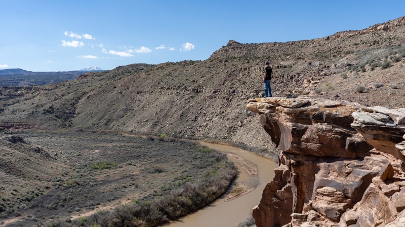
Dolores River Overlook is a rough, minimally maintained BLM D road branching off the easier portion of Rose Garden Hill in the greater Moab/Gateway canyon country. The trail runs about 4.8 miles one way, descending sharply from the start and dropping more than 1,000 feet over the first 1.5 miles before continuing across a slow, bumpy, rocky route toward a remote canyon viewpoint. Expect loose rock, rough embedded terrain, and sustained slow travel. One-way travel takes about 45-60 minutes. High-clearance vehicles are recommended, and 4 Low will likely be needed on the climb back out due to the steep, loose, and rocky grade. The trail ends at a small turnaround near a deep overlook of the Dolores River and Fisher Creek, with the best river view reached by a short walk north from the parking area. Camping is limited, though there is evidence of a campsite near the endpoint. This trail is best suited for drivers looking for a remote, scenic out-and-back with a rugged descent, a demanding return climb, and a quiet canyon overlook payoff.

Utah: D2855 Hero Photo
Scout Route Icon
2/5 (1 reviews)
Updated: 10/15/2024

D2855

Crescent Junction, Utah

D2855 is a short connector trail with beautiful views as you drive toward Tenmile Canyon. The trail meets with the two main crossover 4x4 trails used to access several other scenic routes. The trail mixes soft sand with whoops and a short stretch of rocky steps leading to the trail end. There is no camping along the route. Camping can be found along 10 Mile Point.

Utah: D1256 Hero Photo
Scout Route Icon
2/5 (1 reviews)
Updated: 10/15/2024

D1256

Moab, Utah

D1256 is a quick and easy jumper guiding users from Mineral Point, Waypoint 4, to Mineral Point Road to Spring Canyon Bottom, Waypoint 9. This simple trail has few obstacles, making it suitable for any driver, assuming the difficulty rating of Mineral Point Road to Spring Canyon Bottom is also up your alley. There are a few dispersed camping options directly off this trail.

Utah: Bull Canyon Overlooks Hero Photo
Scout Route Icon
3/5 (1 reviews)
Updated: 05/20/2026

Bull Canyon Overlooks

Moab, Utah

A short out-and-back trail leads to an area known as Bull Canyon Overlooks. The route drops in elevation and includes a few ledges and V-notch erosion obstacles that require higher clearance and 4-low gearing.

At the end of the trail is a large roundabout with a fire ring. This appears to be the only camping opportunity along the route. The views require a short walk from the parking area, but they are worth it, offering expansive overlooks down into Crips Hole.

Utah: Jacks Canyon Hero Photo
Scout Route Icon
4/5 (1 reviews)
Updated: 05/01/2026

Jacks Canyon

Moab, Utah

Jacks Canyon is a moderate crossover with access to hiking into Jacks Arch, and scenic slot canyons. The driving trail to Jacks Arch is now closed, but access into Periscope Canyon is still permitted. The trail has numerous off-camber rock ledges from 14-18" tall, and abundant soft sand. 4x4 low-range, offroad-type tires, and extra ground clearance are required. There is no camping along this route, but a camping area can be found at the end of Periscope Canyon.

Utah: Onion Creek Spur Hero Photo
Scout Route Icon
1/5 (1 reviews)
Updated: 05/01/2026

Onion Creek Spur

Castle Valley, Utah

A short spur to nothing and typically only serving the nearby ranch. While the maps may indicate that camping is suitable along these trails, it isn't, as they are lined with cryptobiotic soils and cow patties. However, if you wish to take this drive, it is suitable for any vehicle.
Utah: D1238 Hero Photo
Scout Route Icon
2/5 (1 reviews)
Updated: 03/09/2026

D1238

Moab, Utah

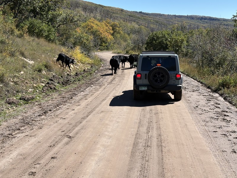
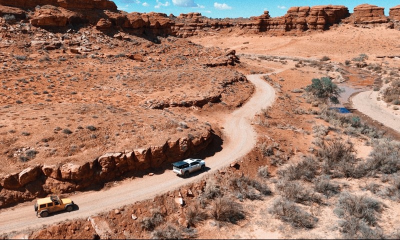
D1238 is an easy, two-mile trek across picturesque Utah prairie land. The sandy two-track cuts across blowing grasslands with distant views of the La Sal Mountain range and more. In dry conditions, you can easily drive in 2WD with a high clearance vehicle past Big Flat Reservoir, connecting with D1244 or D1240. The trail has short, small rock sections that are bumpy, and numerous deep washouts are easily avoided. No established or potential campsites can be found along this route.

Utah: D1262A Hero Photo
Scout Route Icon
2/5 (1 reviews)
Updated: 10/15/2024

D1262A

Moab, Utah

A jumper option from Mineral Point, Waypoint 6, to Mineral Point Road to Spring Canyon Bottom, Waypoint 6, is a short and easy trail similar to D1256. There are no significant obstacles, with the most challenging part being a slightly washed-out dirt hill. There are a couple of good dispersed camping opportunities along this trail.

Utah: D1244 Hero Photo
Scout Route Icon
2/5 (1 reviews)
Updated: 03/09/2026

D1244

Moab, Utah

D1244 is an easy 1.7-mile two-track prairie crossing that offers access to an old reservoir. Connected with D1238, it's a convenient way to avoid pavement and connect with other trails. Do not attempt this trail in wet conditions as the clay becomes extremely sticky and slick. The trail requires durable tires and high clearance. It's sandy, rutted, and a little rocky, but finding the southern trailhead may prove most difficult. The bushes are thick, hiding the trail's course at the large intersection. Camping is nonexistent across this prairie region bordering the parks. Abundant camping can be found further west across CR-143.