


By clicking "ACCEPT", you agree to be the terms and conditions of each policy linked to above. You also agree to the storing of cookies on your device to facilitate the operation and functionality of our site, enhance and customize your user experience, and to analyze how our site is used.
New Mexico Off-Road Trails
54
Total Trail Guides 48

402
Detailed Waypoints 53
Try a Free 7-Day Trial and unlock it all
Start a Free Trial Most Recent Trail Reviews
Rated 3/5
Open
Visited: 09/12/2026
Trail was pretty much exactly as described. I’d say the Moderate rating mostly comes from a handful of washouts along the route. Outside of those, it’s a fairly straightforward run. Compared to most m...

JE
Jorge Edward
No Rating
Open
Visited: 09/05/2026
Great trail — BUT what I’ll share makes it even better!
Come in from the south entrance off Laguna Bonita if you’re driving in from Grants. In my opinion, this side has all the fun.
About midway thr...
JE
Jorge Edward
Rated 4/5
Open
Visited: 08/29/2026
Leisurely trail, no real obstacles. Don’t even need to air down. Crest house and parking are closed, but trail is open
SL
Stefan L
Rated 5/5
Open
Visited: 08/26/2026
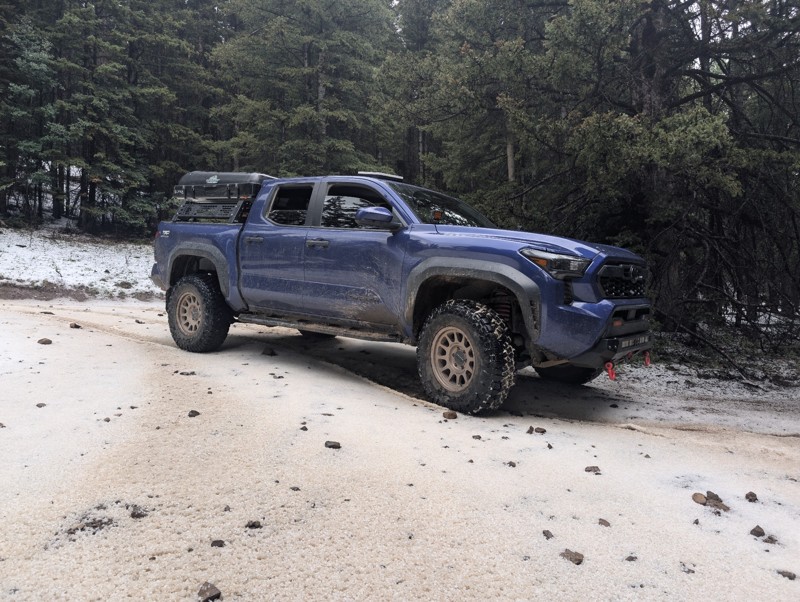
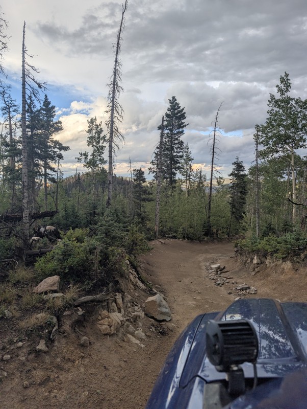
lots of fun. hit a summer thunderstorm at the top that dropped a sheet of hail and sleet. beautiful lake , worth the rocky ascent
CS
Chris S
No Rating
Open
Visited: 08/15/2026
Perfect trail for beginners or a quick dirt fix!
If you’re itching to get off the pavement and want more than just cruising down a wide-open dirt road, this is a great trail to hit. There are enough ...
JE
Jorge Edward
No Rating
Open
Visited: 08/11/2026
Per the MVUM, the trail is seasonally open. As always, check current fire restrictions/closures before venturing out.

Trails Offroad
No Rating
Open
Visited: 08/11/2026
Per the MVUM, the trail is seasonally open. As always, check current fire restrictions/closures before venturing out.
Trails Offroad
No Rating
Open
Visited: 08/11/2026
Per the MVUM, the trail is seasonally open. As always, check current fire restrictions/closures before venturing out.
Trails Offroad
Rated 4/5
Open
Visited: 08/05/2026
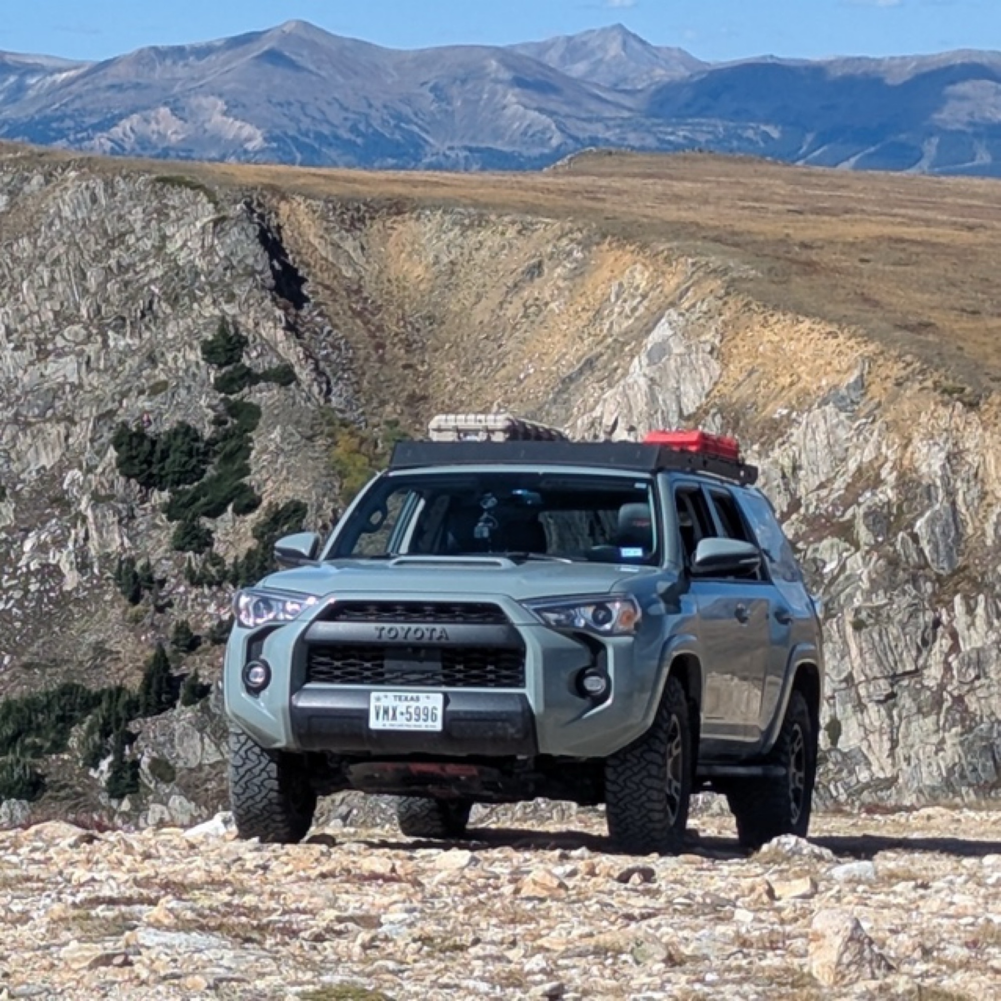
This was my favorite trail of the ones I did in the area. It was about as spicy as I can tolerate (I’m a noob). How this is rated 3 and Arroyo Pinos is also 3 is a mystery; this is much more challengi...
Papa Murph
Rated 5/5
Open
Visited: 07/02/2026
Been on this trail a few times and honestly it got washed out and is super rocky. I’ve got a 2022 wildtrak Bronco which climbed it easily but was kinda spooky and was bashin skid plates!
W
Wyatt
Rated 3/5
Open
Visited: 07/01/2026
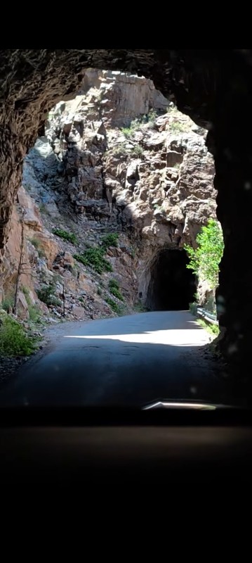
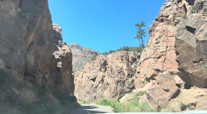
Beautiful drive that's approachable for most 2WD vehicles. The southern section, from the highway north through the Gilman Tunnels, is paved and offers some of the best scenery on the route, with the ...

Desi
Rated 5/5
Open
Visited: 06/27/2026
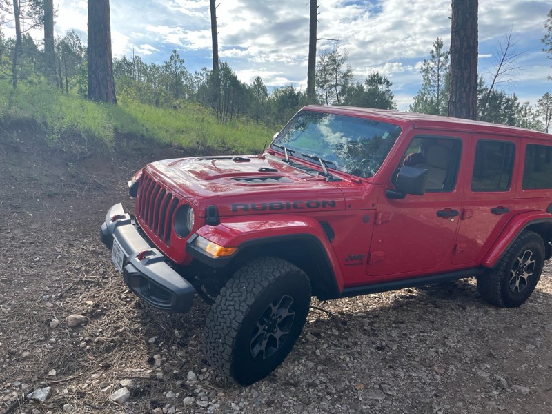
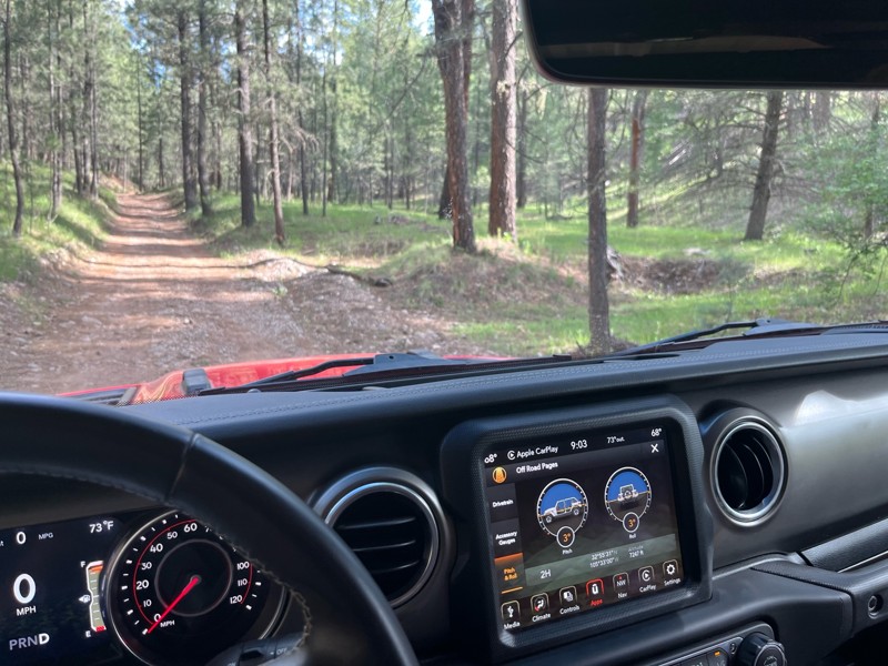
Didn’t use 4x4; easy, beautiful trail. You’ll hit 8100 fr and continue through a gate into a sandy area (if traveling from 82 west of Mayhill) take a left at cargapp and continue up, or take it back t...

J M Woolard
No Rating
Open
Visited: 06/26/2026
According to Agency date data, this trail should be open for the season.
Trails Offroad
No Rating
Open
Visited: 06/26/2026
According to Agency date data, this trail should be open for the season.
Trails Offroad
Rated 4/5
Open
Visited: 06/24/2026
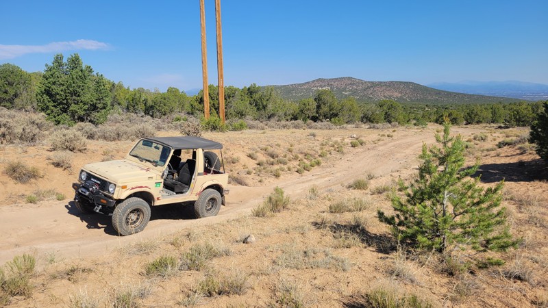
This is the main trail into the Caja Del Rio. Some minor washouts in the summer are normal, but usually don't affect travel.
RG
Remington Gillum
Official Crew
Rated 4/5
Open
Visited: 06/24/2026
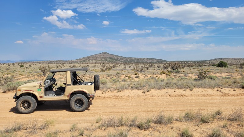
There is some washboard at the bottom, but it is otherwise smooth. The road can become unpassable when muddy.
RG
Remington Gillum
Official Crew
Rated 4/5
Open
Visited: 06/20/2026
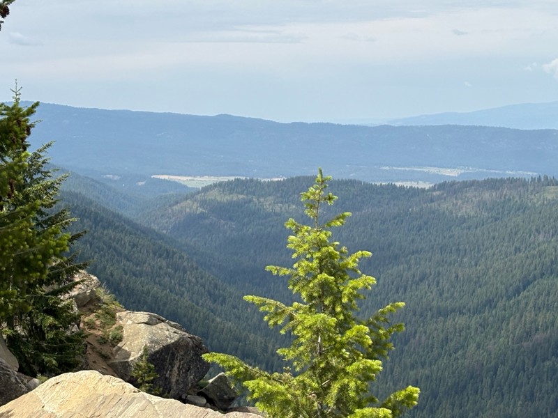
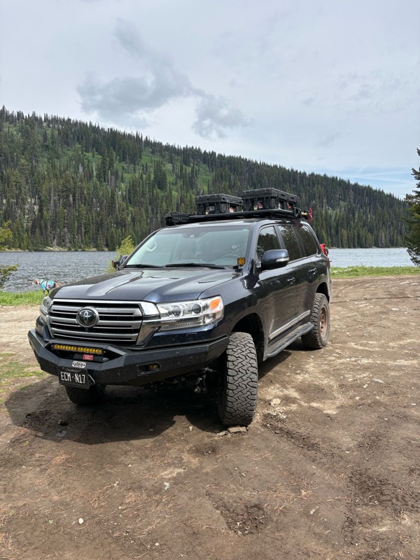
Nice easy and scenic trail. It is pretty washboarded, but not too bad. Very heavily trafficked, but it was a weekend.
Bryan Peterson
No Rating
Partially Open
Visited: 06/13/2026
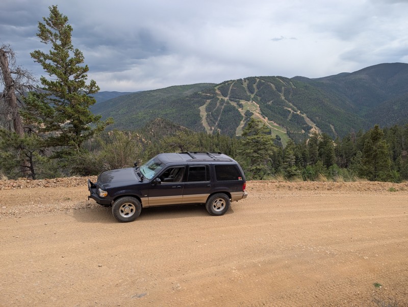
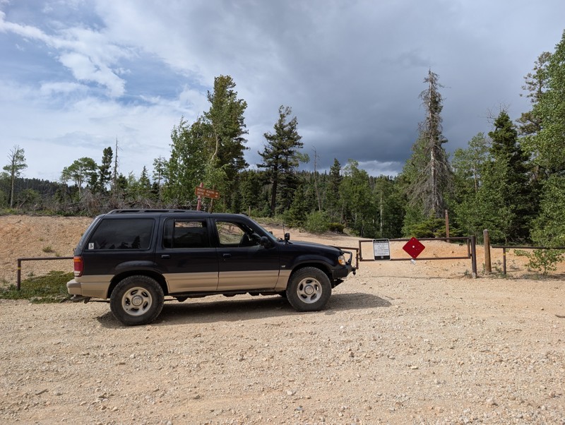
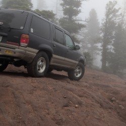
Easy scenic drive. Gate at the top stated the final section to the peak was closed. Worth the drive to escape the tourists in Red River. Easy climb to the top and back down.
Todd Schaffer
No Rating
Open
Visited: 06/13/2026
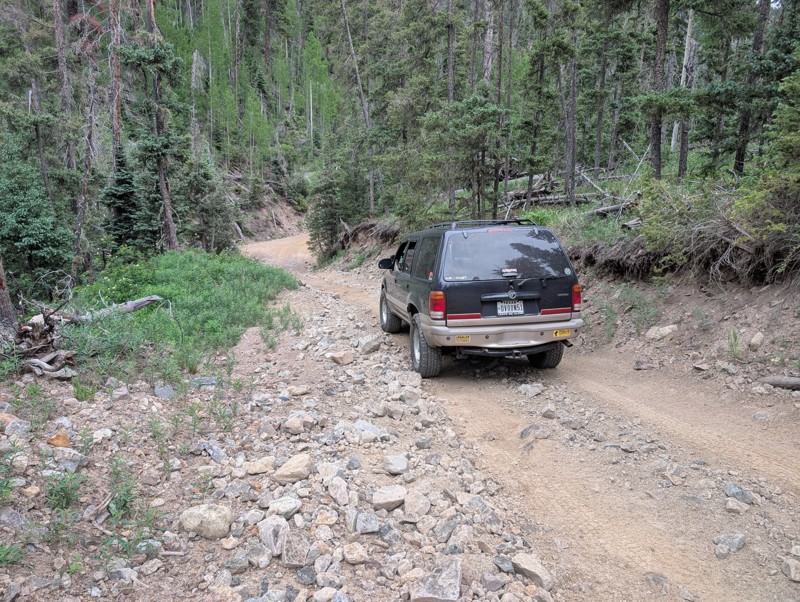
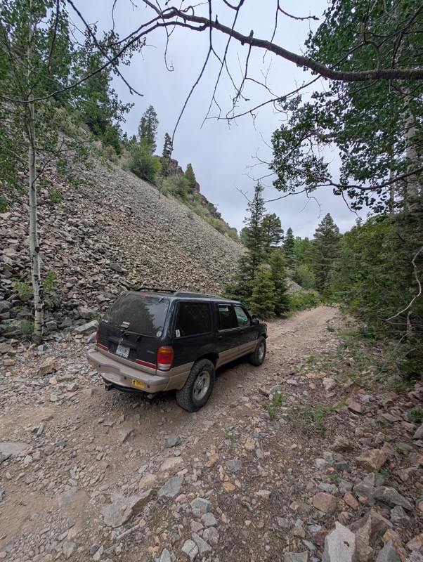
Drove this Saturday afternoon. Short trail ok if you don't have a lot of experience driving off road. Very rocky, watch for sharp rocks if you don't have the right tires. Suggest driving it early in t...
Todd Schaffer
Rated 4/5
Open
Visited: 06/06/2026
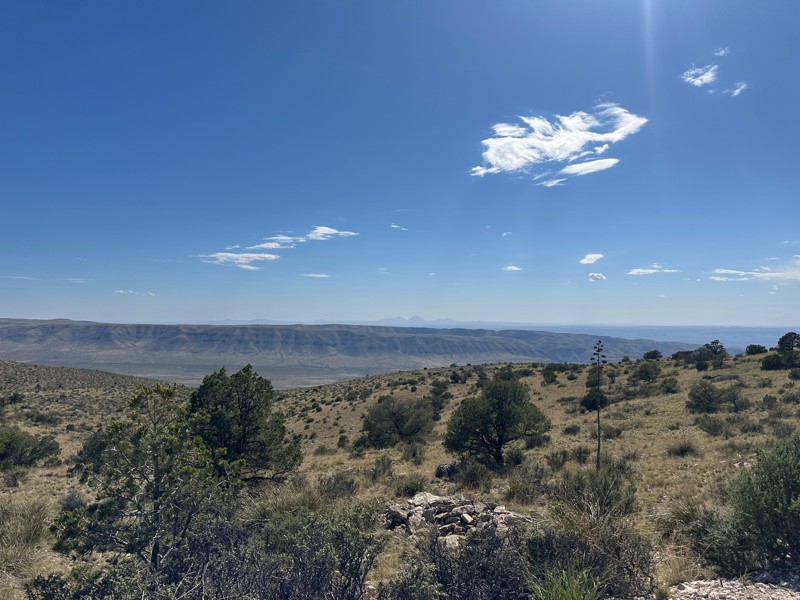
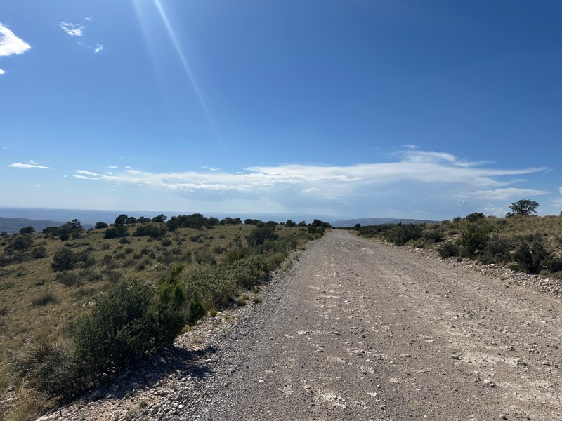
This trail is included in the first part of the New Mexico BDR. Beautiful views off the rim. When the wind in the valley below is above 20 mph, the wind on the rim can reach 50 or 60 mph.

Matthew Cordell
No Rating
Open
Visited: 06/06/2026
Nice ride for beginners. Not too tough and some nice views.
JH
John Hazle
Rated 5/5
Open
Visited: 06/01/2026
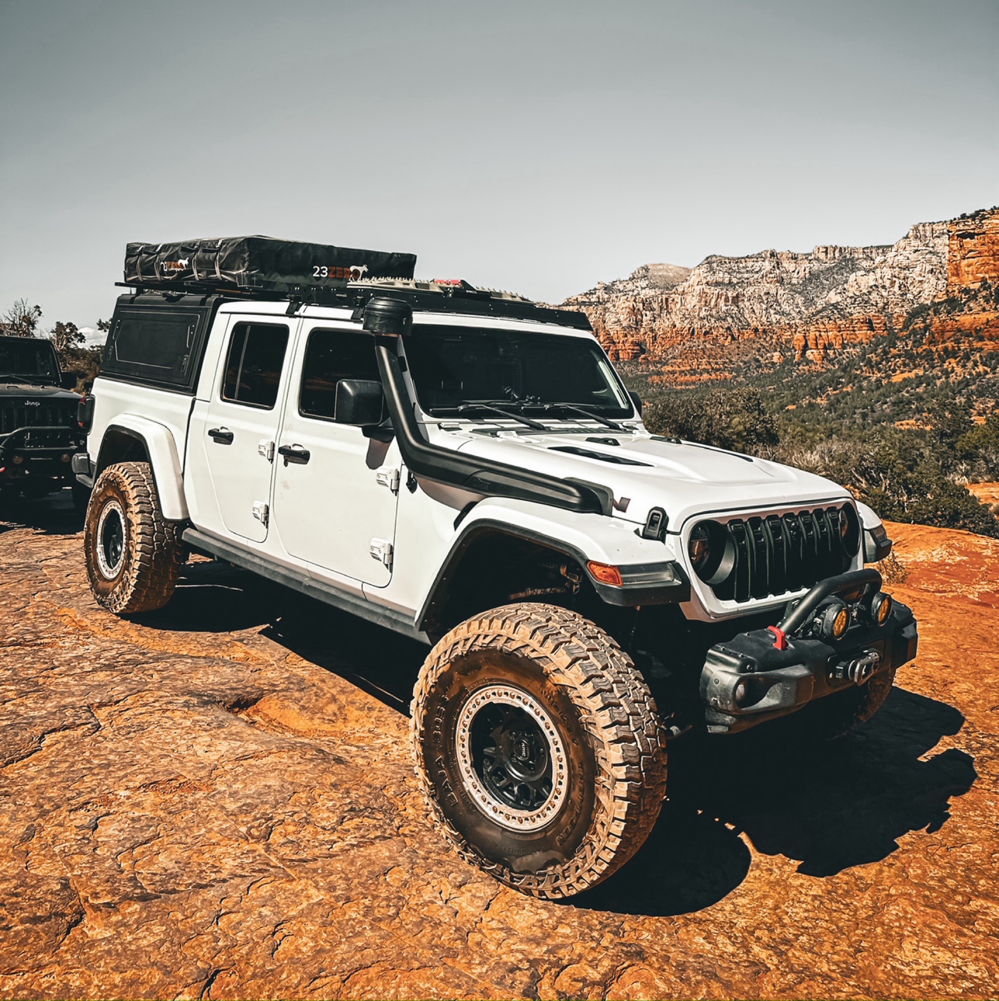
Okay so a few things about this trail, always either start west to east or northeast to southwest, the ruts on this trail over the years have turned it to more difficult on some spots. When going up t...
Francisco
No Rating
Open
Visited: 05/20/2026
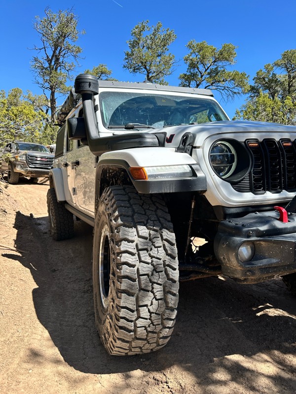
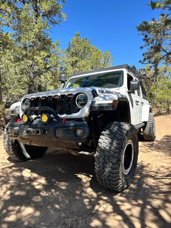
Now open, the obstacles have turned more difficult over the past year or so. Big steps up to 24inches in height, 4wd is definitely recommended and some mud holes that can have up to 36 inches of water...
Francisco
Rated 5/5
Open
Visited: 05/03/2026
The Byway is less washboarded than usual at the moment. There are some steep washouts on both sides of the road in some places so keep your eyes on the road.

Mary Turpin
Mary Turpin
Rated 5/5
Open
Visited: 05/03/2026
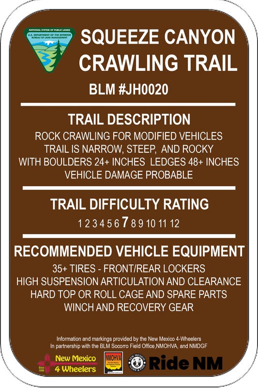
Today was a walking-the-trail encounter with Squeeze. We'd never seen it, and the trail has a reputation with locals for body damage. Much of the trail is typical Gordy's rock crawling fun. The last s...
Mary Turpin
Rated 5/5
Open
Visited: 05/03/2026
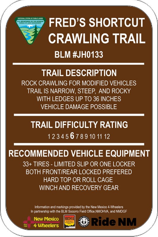
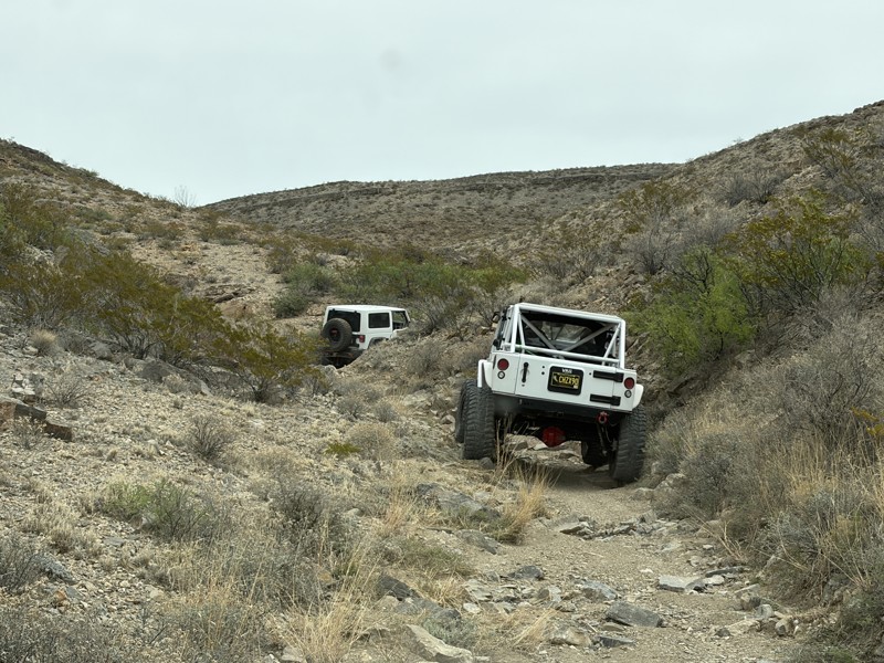
Fred's Shortcut is a fabulous little connector trail within the Gordy's Hill OHV Area. Connecting Upper Amado to Chupadero Mine Road, you can run Lower Amado or Hidden Valley in the morning, and Cat S...
Mary Turpin
Rated 5/5
Open
Visited: 05/03/2026
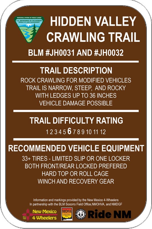
Three New Mexico 4 Wheeler rigs started our day on HV. The gatekeeper is in great shape and easy to climb since the hole at the bottom remains filled in with sand, as it's been all winter. We didn't p...
Mary Turpin
Rated 5/5
Open
Visited: 05/03/2026
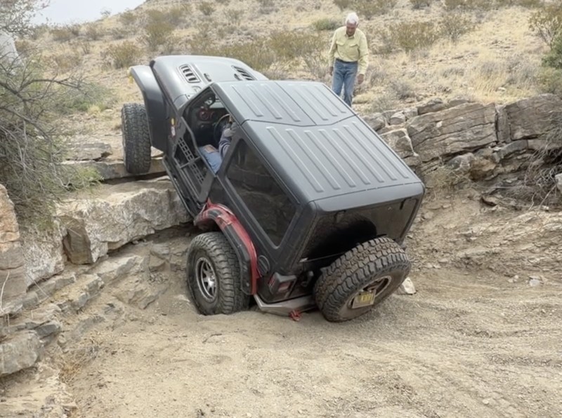
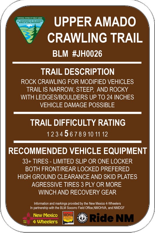
Upper Amado is a fun trail the New Mexico 4 Wheelers and other locals often use as a connector trail to access multiple rock rock crawling trails in the Gordy's Hill OHV Area. Three of us used it to c...
Mary Turpin
Rated 4/5
Partially Open
Visited: 04/11/2026
Blocked by snow about 2/3rds of the way up. Some sections are snow packed at higher elevations. Otherwise muddy, but decent. Trail is very narrow, not a lot of room to turn around. Slick sections can ...

Patrick Baldwin
Rated 4/5
Open
Visited: 03/19/2026
A nice experience for our first off-roading experience in our new Outback Wilderness. Nothing too challenging, mostly some deep ruts and shallow streams that were good easy practice for this type of d...
ZW
Zacary W.F.
Rated 5/5
Open
Visited: 03/16/2026
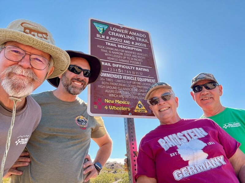
Today is a huge celebration for the New Mexico 4 Wheelers. Lower Amado (formerly Pucker Falls) was named a Jeep Badge of Honor trail today! Our members first walked the desert at the newly-created Gor...
Mary Turpin
Rated 5/5
Open
Visited: 03/14/2026
Arch Canyon is one of our Gordy's Hill OHV Area-home territory trails for the New Mexico 4 Wheelers (www.nm4w.org). I took a crew to do some trail maintenance on the exit end of Arch and holy cow, it'...
Mary Turpin

Scott Mitchell
Official Crew
Rated 5/5
Open
Visited: 03/07/2026
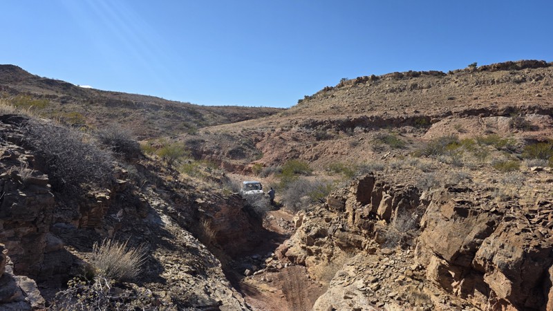
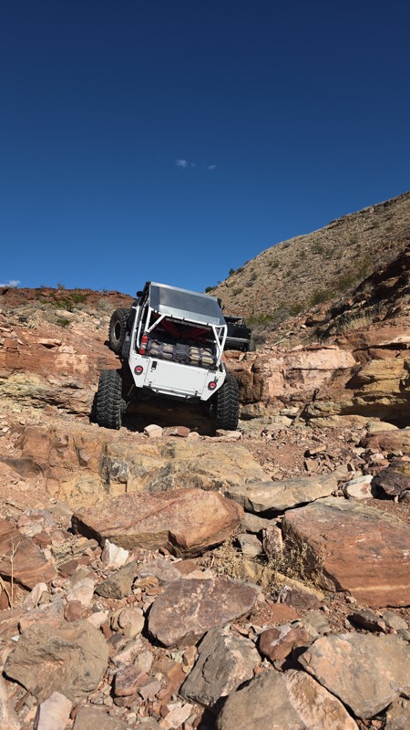
The trail is constantly changing with some obstacles definitely becoming more challenging. Still a solid 9 and always a great time!
Scott Mitchell
Official Crew
Rated 4/5
Open
Visited: 03/07/2026
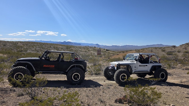
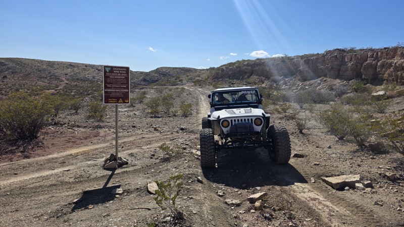
The trail is a bit more rutted between waypoints 5 and 6, and also from waypoint 8 to waypoint 10, but it remains consistent with the rating. It's a great jaunt into the interior of the Quebradas.
Scott Mitchell
Official Crew
Rated 4/5
Open
Visited: 03/07/2026
We ran this one following a trip up Coyote Hills. This trail remains pretty consistent with the trail guide with no noticeable changes.
Scott Mitchell
Official Crew
Rated 4/5
Open
Visited: 03/07/2026
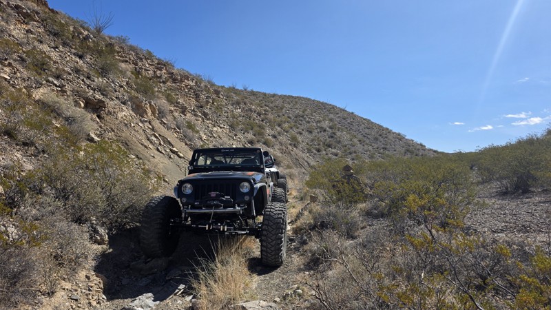
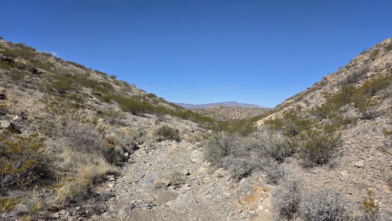
Easy trail for a high clearance 4WD. This is a good trail for making a loop from Bad Hair Day to the upper half of Arch Canyon, which terminates at the Chupadero Mine Road (Minas del Chupadero). It'...
Scott Mitchell
Official Crew
Rated 5/5
Open
Visited: 02/21/2026
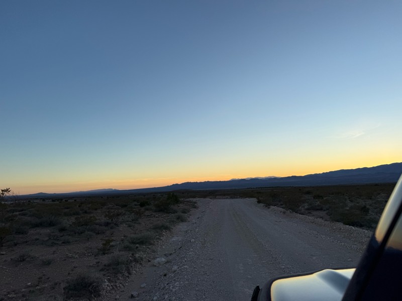
Nice easy drive. A few bumpy spots as to be expected from a dirt road. Beautiful drive through the foothills at sunset.
FM
Felecia Merkel
Rated 5/5
Partially Open
Visited: 01/31/2026
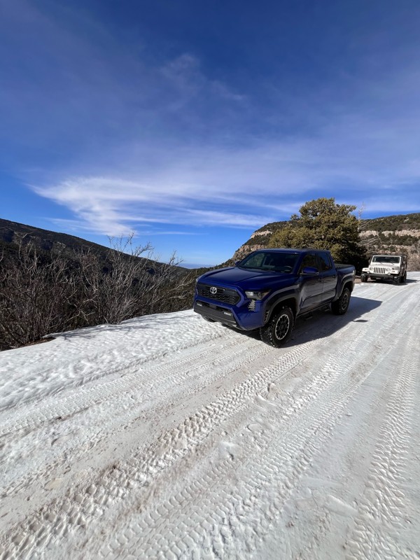
1/2 way up there is a sign that says road is closed and to proceed at your own risk. I had no problems going up this afternoon. I went with a 2nd gen taco TRD Sport totally stock and a ‘98 Wrangler Sa...
T
Tricky_rick
Rated 5/5
Open
Visited: 01/24/2026
NM4W ran Lower Amado going backwards as a last minute addition to explorations on this day. We had done Bad Hair Day and played on parts of Upper Amado earlier in the day, then came up the Causeway an...
Mary Turpin
Rated 5/5
Open
Visited: 01/24/2026
New Mexico 4 Wheelers took 5 rigs on BHD and had a blast! Rains the previous 24 hours made the trail damp, although not muddy. Wet sand allowed normally stable boulders to move as rigs went through, r...
Mary Turpin
Rated 5/5
Open
Visited: 01/24/2026
While most of the trail isn't a problem, it's always the hole at the base of the gatekeeper that is the question. Today it was completely filled in with sand, making the approach & climb a piece of ca...
Mary Turpin
No Rating
Temporary Closure
Visited: 01/17/2026
FR 144 is closed at the west end with a USFS sign that reads "No Motor Vehicles 1/1 - 4/15"
TS
Taylor Smith
Rated 5/5
Open
Visited: 01/10/2026
My club, the New Mexico 4 Wheelers, took 4 rigs on this fun trail on a chilly winter day and had all kinds of fun! Doug's is not a long trail but it is a solid Level 7. Lifts, lockers, and winches wer...
Mary Turpin
Rated 5/5
Open
Visited: 01/10/2026
All kinds of rock crawling fun on Bad Hair Day! Nothing is too hard on it's own, but the trail gives you a solid workout the whole way through. If you like rocks, rocks, and more rocks, this trail is ...
Mary Turpin
Most Popular

Updated: 10/15/2024
Carr Gap Canyon
Mayhill, New Mexico
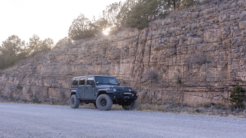
In the Lincoln National Forest, Carr Gap Canyon, FR607, is a gravel road that twists through the Sacramento Mountains. There are endless mountain and valley views along the narrow, windy road.
There aren’t any difficult sections other than the possibility of weather. Carr Gap Canyon has many offshoot roads and trails for further exploration.
There are multiple opportunities for camping along this road.
Dispersed campsites:
- (32.94990, -105.47080)
- (32.95263, -105.46906)
- (32.96658, -105.50075)
Updated: 12/11/2024
Coyote Canyon
Escondida, New Mexico
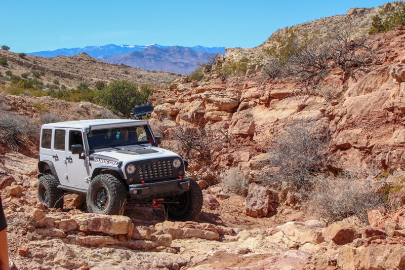
Nestled in the Coyote Hills between the Quebradas Backcountry Byway and Johnson Hill Road, lies a narrow one-mile passage known as Coyote Canyon. Flood waters from area rains follow this groove in the Earth from ATV Pass down to the Arroyo del Coyote, giving life to the many juniper trees and other flora found here. The trail makes for a challenging drive but it is quite scenic and secluded. It's also a great choice for some hiking, rock hunting, camping, or photography. In addition to amazing exposed geological features and beautiful landscapes in Coyote Canyon, there are countless nearby opportunities to offroad at varying degrees of technical difficulty, making this area a 4WD paradise.

Updated: 04/25/2024
San Lorenzo Canyon
Lemitar, New Mexico
Breathtaking skies and fascinating geological features are the hallmarks of this trail.
A sandstone masterpiece, San Lorenzo Canyon is home to caves, slots, hoodoos, pillars, springs and "slickensides", a geological term for the angular striations in the rock, formed when moving fault blocks ground against each other 7-10 million years ago.
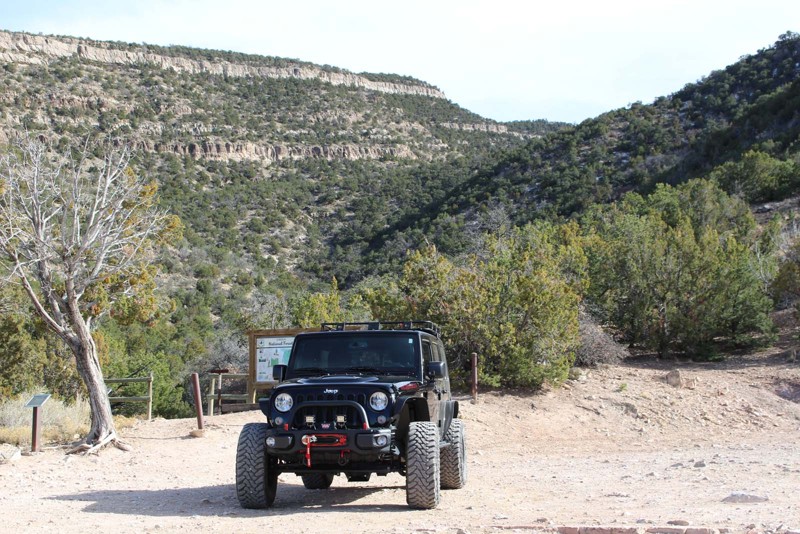
A short drive up the San Lorenzo Arroyo brings you into the lower canyon box, with a spring at its end. San Lorenzo, a desert canyon, hosts saltbush, rabbitbrush, yucca, tree cholla and prickly pear cacti as well as desert bighorn sheep, many bird species including roadrunners, and five (yes, five) types of rattlesnake. So, keep your hands and feet out of places you can't see!
There are countless opportunities for hiking and primitive camping along this pleasant desert trail. There are also many side canyons, slots, niches and crevices making it a great place to get out and explore.
Updated: 06/05/2022
Tunnel Spring
Placitas, New Mexico
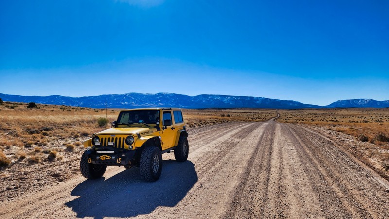
Nestled in the north end of the Sandia Mountain Wilderness is the 1.5-mile Forest Service Road 231, an easy drive leading to Tunnel Spring and some of the area's best hiking trails. At any point along this trail, there are spectacular 360-degree views.
A short 20 minutes north of Albuquerque, this trail is a readily accessible getaway from the stresses of urban life. The trail's proximity to the metropolitan areas of the Rio Grande Valley and its many opportunities for adventure and recreation make it a great destination in this area.
The Sandia Mountains are the most visited in New Mexico, with about half of the state's population living within an hour's drive. Sandía means watermelon in Spanish, and a popular belief is that the name is a reference to the reddish hue of the range's granite escarpments at sunset. The people of Sandia Pueblo, who are Tiwa speakers, consider the mountains sacred and also refer to the range as Bien Mur, "big mountain."
The granite of the Sandias is topped in many areas with a 300-foot layer of limestone, rich in marine fossils that can be seen where the rock is exposed. Wildlife in the area includes mule deer, black bears, squirrels, and bobcats as well as golden eagles, various species of hawks and roadrunners.
Updated: 10/15/2024
T West Road
Arabela, New Mexico
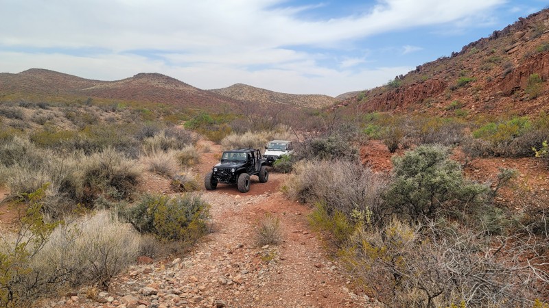
T West Road runs north to south through the broad New Mexico desert. It's an easy graded road with scenic views in most directions. However, the real reason for driving this dirt road is that it connects the paved highway to the trail leading to Roswell UFO Crash Site. The alleged 1947 alien crash mystery still resonates today. Don your tinfoil hat and head on out.
Updated: 09/10/2026
Lost Hill Loop
Derry, New Mexico
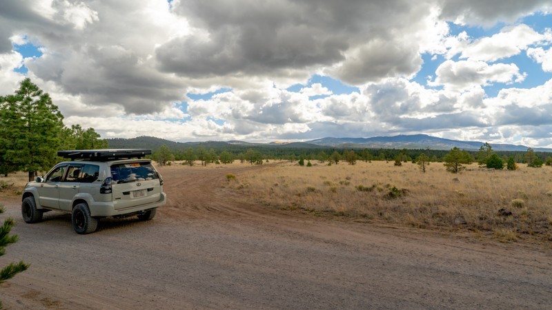
Lost Hill Loop runs 16 miles and connects with many area trails, including several Chile Challenge offroad event trails. It's a mix of hard-packed 2-track and meanders in, out, and through sections of brushy sand and gravel wash.
Updated: 10/15/2024
Laguna Bonita Road
Lobo Canyon, New Mexico
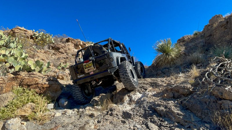
Laguna Bonita Road is a long haul at 35. It's the main access road across the Cibola National Forest north of Grants, New Mexico. Although the southern half of Laguna Bonita Road is mostly well-maintained dirt, the northern half devolves into a bumpy, cobble surface that rattles your teeth if you don't air down for comfort. Most dispersed camping is located on the southern portion of the trail, although it is worth trying the roads that spur off Laguna Bonita Road to find additional sites. The northern end connects to San Luis Road, where more camping begins to appear. The trail eventually accesses Highway 550.
Updated: 06/05/2022
Backstage Pass
Derry, New Mexico
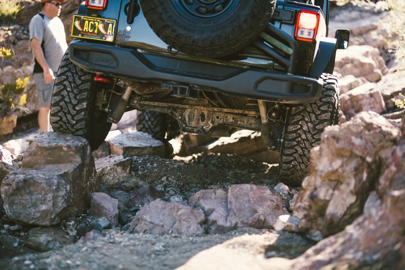
Located near two State Parks, Caballo and Percha Dam, Backstage Pass is one of many trails in the Lost Hills of the Caballo Mountains. This area is home to the annual Chile Challenge offroad event, running for over 30 years. These are some of the most famous trails in New Mexico, and Backstage Pass, a level 7 (Hard) trail on the Chile Challenge scale, is both an event and a local favorite.
The Caballo Mountains are a mountain range located in Sierra and Doña Ana Counties of New Mexico. The range is east of the Rio Grande and Caballo Lake and west of the Jornada del Muerto and White Sands Missle Range. The south of the range extends into northwest Doña Ana County. The Caballo and Percha State Parks offer various recreational opportunities and numerous improved campsites.
Updated: 12/11/2024
Hidden Valley Loop
Escondida, New Mexico
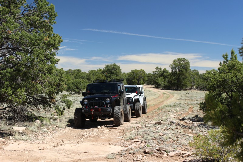
Venturing out from Arroyo de Los Pinos, Hidden Valley Loop takes you deeper into the badlands surrounding the Quebradas Backcountry Byway near Socorro, NM. There are myriad offroad trails along the Byway, which divides the 6,000-acre Gordy’s Hill Off-Highway Vehicle (OHV) Area from west to east, providing offroad driving challenges for all experience levels and offroad vehicle capabilities. Hidden Valley Loop is notable because it is not only a challenging trail, it's also a route leading to a broad network of increasingly technical Quebradas 4WD trails. If you enjoy the challenge of picking lines and crawling over and through big rock, you will like this trail! The arid desert landscape of the Quebradas is harsh yet beautiful, and it's teeming with life. Moving through the area, bands of red and yellow sandstone, red and purple shale, and white to gray limestone are all exposed in stunning geological features.
Updated: 06/05/2022
Limekiln
Milan, New Mexico
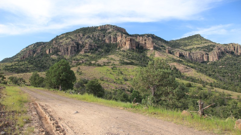
Meandering from old Route 66 near Grants, New Mexico, into the scenic Zuni Mountains, Limekiln is a 9-mile forest service road that gets its name from an adjacent canyon and nearby prehistoric pueblo site that is home to an ancient masonry kiln structure. The trail traverses part of Limekiln Canyon from Waypoint 8 to Waypoint 10. The short, sparse junipers at the beginning of the trail are soon joined by larger pinon pine and eventually, tall ponderosas tower above as you go deep into the Cibola National Forest. A great feature of this trail is that it provides access to camping sites on the northwest corner of the forest with a drive that is more interesting, challenging and private than traversing maintained dirt roads would be.
The trails in this area were originally used for railroad logging operations in the late 1800s and early 1900s. There are many antiquities in the area, including old homesteads, mining camps, logging camps, and volcanic features. The location of Limekiln's namesake pueblo site is now kept a secret to protect it from further looting and vandalism. Many recreational opportunities exist in this part of the Cibola National Forest.
Updated: 06/13/2025
Pueblo Park
Whispering Pines, New Mexico
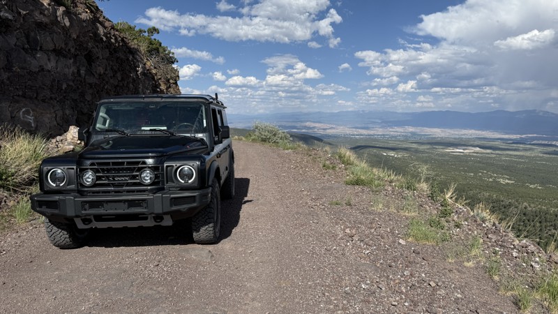
Pueblo Park runs from US 180 on the east into Arizona, ending on Blue River Road on the west. Besides straddling two states, the road runs through two national forests, Gila in New Mexic and Apache Sitgreaves in AZ. The ends of the trail are very easy. The middle third of the road climbs up and over the Blue Range. This section of trail is very rocky with a few shelves but does provide good views.
There is dispersed camping near the eastern end of the road. Additionally, Pueblo Park Campground is free and offers vault toilets, picnic tables, and fire grates.
Updated: 06/10/2026
31 Mile Road
Española, New Mexico
Despite the name of 31 Mile Road, this well-maintained backcountry road stretches for nearly 60 miles, offering a pleasant transition from wide-open desert vistas to dense, mountainous woodlands of Santa Fe National Forest. It begins in the high desert area of Española, and gradually climbs into the cooler, pine-shaded forests flanking the northern and western edges of the Valles Caldera National Preserve. The trail itself is a smooth, graded, mostly gravel trail. However, many spur trails break off and offer more of a challenge if that's what you're looking for. There are plenty of campsites along the trail, ranging in size from single-site to large group campsites. More shaded sites can be found along the many spur trails.

Updated: 10/15/2024
Presidential Staircase
Dona Ana, New Mexico
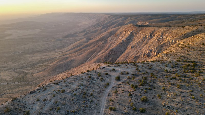
Located at the northern tip of the Chihuahuan Desert, the Southern Robledo Mountains are home to the 100th active U.S. national monument, the Prehistoric Trackways National Monument, and within that, the Robledo Mountains OHV Trail System. Just four short miles northwest of Las Cruces, this network of trails, including extreme OHV and mountain bike trails, is easy to get to and close to all of the conveniences and services of a modern city. The Presidential Staircase trail is a great warmup along the way to some of the more difficult trails in the system. The scene from the top of this moderate climb is a truly spectacular 360-degree view of the area. The OHV areas are separate from the Monument's sensitive fossilized trackway, and motorized vehicle travel is only permitted on designated trails and roads. Official signage for the trails is well and frequently placed, so it's easy to spot. The Monument includes a major deposit of Paleozoic Era fossilized footprint megatrackways containing footprints of numerous amphibians, reptiles, and insects (including previously unknown species), plants, and petrified wood dating back 280 million years.
Updated: 06/29/2026
Guadalupe Rim
Queen, New Mexico
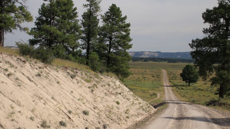
The Guadalupe Rim Trail is located in the southernmost unit of Lincoln National Forest, running along the western cliffs of the Guadalupe Mountain Range. Officially named Forest Road 67, it is the main access route to numerous additional forest roads that offer varying terrain, including small rock shelves, sand, and dirt.
The trail is primarily limestone gravel, with some dirt sections. It has an easy rating that is suitable for most vehicles. There are no significant obstacles other than potential weather-related issues, such as mud and ruts at a few points. This trail is also a small section of the 1,200-mile-long New Mexico Backcountry Discovery Route (NMBDR).
Along the trail, multiple viewpoints offer stunning views to the west over Dog Canyon. Within the Junipers and Pinyon trees, there are plenty of large flat camping areas that can fit multiple rigs at one time.
The trail's south end is within an hour and a half of several points of interest, including Sitting Bull Falls, Carlsbad Caverns National Park, and Guadalupe Mountain National Park. The closest amenities, such as gas, groceries, and lodging, can be found in Carlsbad, New Mexico.
Updated: 10/15/2024
Bill Knight Gap Road
Luna, New Mexico
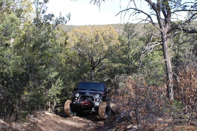
Bill Knight Gap Road, named for the switchbacking section that climbs a cliff, traverses pine forests and wide open meadows. The trail begins in the town of Luna and travels north to Highway 60. Cattle graze the meadows, and the trail does pass through a ranch on a small section of private land. There are scenic white cliffs that border the route. In the north, the incongruity of old abandoned ranch buildings with modern wind turbines on the hills above them is striking.
The road is well maintained, though traveled lightly enough that grass grows in the middle of the trail in places. There are a few dispersed campsites scattered along the trail.
Updated: 06/05/2022
Meadow Ridge Trail 05627
Tijeras, New Mexico
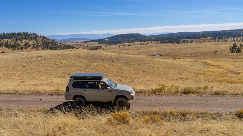
In addition to beautiful vistas and the fresh, pine scented air of the Manzanita Mountains, Meadow Ridge provides some of the most challenging and interesting 4WD terrain in the Manzanitas Trail System. This connector trail allows you to combine parts of the area's multiple interconnected trails in a single run.
Some have called Meadow Ridge the only true 4WD trail in the Manzanita Mountains as its rocky, narrow and deeply rutted path demand high clearance and close attention paid by those who traverse it.
Just 15 minutes from Albuquerque, it's very easy to quickly get out of the city and into the Cedro OHV area with hiking, mountain biking, horseback riding, OHV and 4WD use trails, including this interesting little gem.
Updated: 10/15/2024
FR 133
San Antonio, New Mexico
Forest Road 133 is an easy, bumpy trail for its 14-mile trek through the Carson National Forest. Spanning the distance between Apache (FR 87) and Highway 64, dispersed camping is plentiful along this trail, with most campsites large enough for multiple vehicles. This area is popular among hunters in the Fall. Do not be surprised to see camper trailers, SxSs, and ATVs during this time.
Although picturesque, this area is quite remote. The nearest basic services are the tiny town of Tres Piedras, with the Tres Piedras Ranger Station, post office, and Chili Line Depot restaurant, but no fuel station. The nearest fuel is north in Antonito, CO, or west on Highway 64 to Tierra Amarilla, NM.

Updated: 02/20/2024
Big Jim
Dona Ana, New Mexico
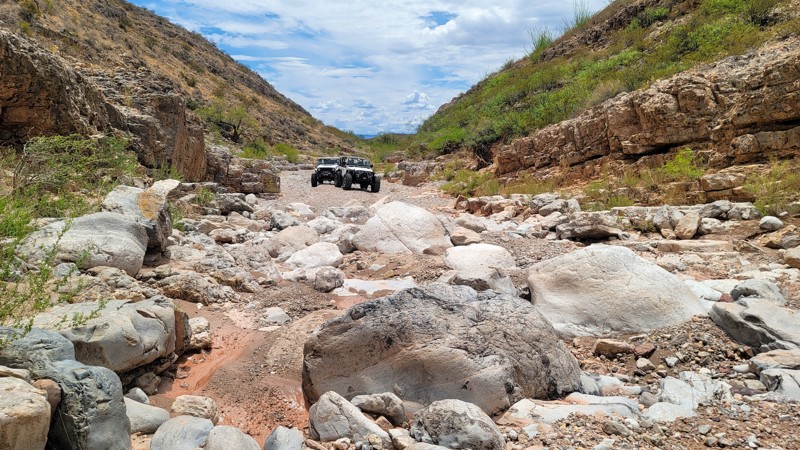
A dramatic desert landscape of rock, cliffs, hills, and washes that are lined with ocotillo, prickly pear, yucca, and other native species is what awaits you when you travel to and through the Big Jim trail. This trail has a great variety of driving challenges but don't let that distract you from enjoying the beauty of the surrounding land. There are many small trees along the trail that will allow you to catch a little relief from the desert sun while you enjoy the scenery and maybe a little picnic. This trail is fun to run in either direction, up or down.
Located at the northern tip of the Chihuahuan Desert, the Southern Robledo Mountains are home to the 100th active U.S. national monument, the Prehistoric Trackways National Monument, and within that, the Robledo Mountains OHV Trail System. Just four short miles northwest of Las Cruces, this network of trails, including extreme OHV and mountain bike trails, is easy to get to and close to all of the conveniences and services of a modern city.
You will notice that many of the trails here are named after varieties of chile. That's because Big Jim and its neighbors are the original trails of the Chile Challenge offroading event, which relocated further north to the Caballo NM area some years back.
The OHV areas here are separate from the Monument's sensitive fossilized trackway, and motorized vehicle travel is only permitted on designated trails and roads. Official signage for the trails is well and frequently placed, so it's easy to spot. The Monument includes a significant deposit of Paleozoic Era fossilized footprint mega-trackways containing footprints of numerous amphibians, reptiles, and insects (including previously unknown species), plants, and petrified wood dating back 280 million years.
Updated: 09/10/2026
Green Canyon
Arrey, New Mexico
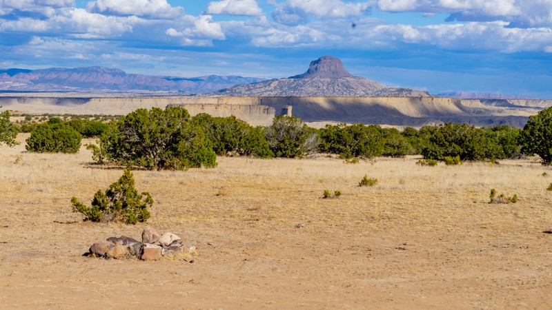
Green Canyon begins with a fairly technical boulder field which is not bypassable and must be crossed. Several additional technical sections lie ahead. The most severe section does have a bypass. This is a hard trail.
Updated: 10/15/2024
San Luis Road
San Luis, New Mexico
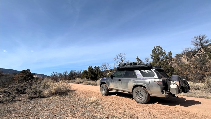
San Luis Road connects Old State Highway 279 to the Cibola National Forest boundary while traveling through an area that feels like a miniature Valley of the Gods. A handful of dispersed campsites dot the trail, with one providing a direct view into the Chamisa Wilderness Study Area and the beautiful mountains, mesas, and other rock formations. Sunrise and sunset in this area are stunning. Bring your camera. This road crosses through federal Bureau of Land Management land, wilderness study areas, and private parcels, so be sure you know the land boundaries and respect the management or ownership.
Updated: 09/04/2025
Chama Canyon Road
Youngsville, New Mexico
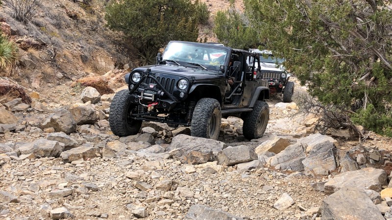
Chama Canyon Road, Forest Road 151, is located at the border of the Carson National Forest and the Santa Fe National Forest near the Chama River Canyon Wilderness. The easy 13-mile dirt road traverses a few low-lying areas. While none are prone to flash flooding, two areas along the route would be pretty muddy after a rain or snow melt. Four-wheel drive is not required for this road.
The colorful landscape along this route is breathtaking. Another cool feature is the area where the Rio Chama and the Rio Gallina meet. One river is crystal clear, and the other is murky silt. Below the confluence, they flow side by side with a clear delineation until finally mixing well downstream.
There are several established primitive campgrounds with vault toilets along the trail and quite a few dispersed campsites along the Rio Chama. A quick detour down FR 151U leads to a boat and kayak ramp.
The trail deadends at the Monastery of Christ in the Desert, which welcomes visitors.
Updated: 02/20/2024
Bell Pepper
Dona Ana, New Mexico
Located at the northern tip of the Chihuahuan Desert, the Southern Robledo Mountains are home to the 100th active U.S. national monument, the Prehistoric Trackways National Monument, and within that, the Robledo Mountains OHV Trail System. Just four short miles northwest of Las Cruces, this network of trails, including extreme OHV and mountain bike trails, is easy to get to and close to all of the conveniences and services of a modern city.
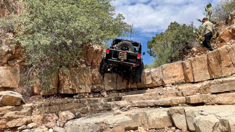
Bell Pepper and its neighbors are the trails of the original Chile Challenge event. This trail is fun in either direction, and there are plenty of small trees where you might catch a little relief from the desert sun. Ocotillo, prickly pear, yucca, and other native species also adorn the trail and sidehills.
The OHV areas here are separate from the Monument's sensitive fossilized trackway, and motorized vehicle travel is only permitted on designated trails and roads. Official signage for the trails is well and frequently placed, so it's easy to spot. The Monument includes a major deposit of Paleozoic Era fossilized footprint megatrackways containing footprints of numerous amphibians, reptiles, and insects (including previously unknown species), plants, and petrified wood dating back 280 million years.
Updated: 06/05/2022
Habanero Falls
Las Cruces, New Mexico
A dramatic desert landscape of rock, cliffs, hills, and washes that are lined with ocotillo, prickly pear, yucca, and other native species is what awaits you when you travel to and through Habanero Falls. This trail is very challenging, but don't let that distract you from enjoying the beauty of the surrounding land. There are many small trees along the trail that will allow you to catch a little relief from the desert sun while you enjoy the scenery and maybe a little picnic.
Located at the northern tip of the Chihuahuan Desert, the Southern Robledo Mountains are home to the 100th active U.S. national monument, the Prehistoric Trackways National Monument, and within that, the Robledo Mountains OHV Trail System. Just four short miles northwest of Las Cruces, this network of trails, including extreme OHV and mountain bike trails, is easy to get to and close to all of the conveniences and services of a modern city.
You will notice that many of the trails here are named after varieties of chile. That's because Habanero Falls and its neighbors are the original trails of the Chile Challenge offroading event, which relocated further north to the Caballo NM area some years back.
The OHV areas here are separate from the Monument's sensitive fossilized trackway, and motorized vehicle travel is only permitted on designated trails and roads. Official signage for the trails is well and frequently placed, so it's easy to spot. The Monument includes a major deposit of Paleozoic Era fossilized footprint mega trackways containing footprints of numerous amphibians, reptiles, and insects (including previously unknown species), plants, and petrified wood dating back 280 million years.

Updated: 12/11/2024
Arroyo de los Pinos Loop
Escondida, New Mexico
The Arroyo de Los Pinos Loop is a quick, scenic departure off of the Quebradas Backcountry Byway that will take you within 100 yards or so of the Ojo de Amado Spring, and it provides access to numerous offroading possibilities in the area with varying degrees of difficulty. Driving from the Quebradas road to the arroyo floor (approximately 300 feet below) provides opportunities to take in beautiful panoramic vistas of the region and surrounding mountain ranges. The Quebradas road crosses several arroyos which drain into the Rio Grande and erosion here has created breathtaking and scenic geological settings such as those in the Arroyo de Los Pinos. As one traverses the trail down into the arroyo, the color of the rock and earth are impossible to miss. The red color of these rocks results from the presence of small amounts of iron in the form of hematite, the same mineral that gives the planet Mars its red hue. Moving through the arroyo, bands of red and yellow sandstone, red and purple shale, and white to gray limestone are all exposed. Arroyo de Los Pinos Loop is one of many trails along the Quebradas Backcountry Byway, which divides the 6,000-acre Gordy’s Hill Off-Highway Vehicle (OHV) Area from west to east and provides excellent opportunities for offroad driving, offering challenges for all experience levels and your offroad vehicle’s capabilities.

Upgrade your Membership
Unlock all of the details on every Trail Guide and Scout Route.
Start a 7-day Free TrialCommunity
Partners

