


By clicking "ACCEPT", you agree to be the terms and conditions of each policy linked to above. You also agree to the storing of cookies on your device to facilitate the operation and functionality of our site, enhance and customize your user experience, and to analyze how our site is used.
New Mexico Off-Road Trails
54
Total Trail Guides 48

402
Detailed Waypoints 53
Try a Free 7-Day Trial and unlock it all
Start a Free Trial Most Recent Trail Reviews
Rated 3/5
Open
Visited: 09/12/2026
Trail was pretty much exactly as described. I’d say the Moderate rating mostly comes from a handful of washouts along the route. Outside of those, it’s a fairly straightforward run. Compared to most m...

JE
Jorge Edward
No Rating
Open
Visited: 09/05/2026
Great trail — BUT what I’ll share makes it even better!
Come in from the south entrance off Laguna Bonita if you’re driving in from Grants. In my opinion, this side has all the fun.
About midway thr...
JE
Jorge Edward
Rated 4/5
Open
Visited: 08/29/2026
Leisurely trail, no real obstacles. Don’t even need to air down. Crest house and parking are closed, but trail is open
SL
Stefan L
Rated 5/5
Open
Visited: 08/26/2026
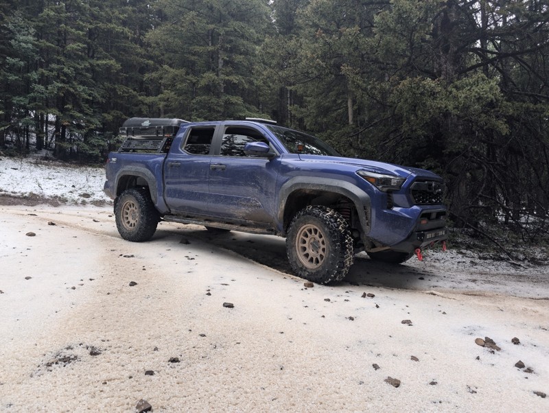
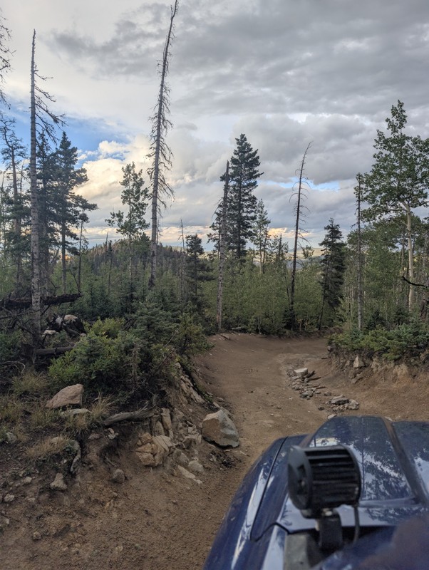
lots of fun. hit a summer thunderstorm at the top that dropped a sheet of hail and sleet. beautiful lake , worth the rocky ascent
CS
Chris S
No Rating
Open
Visited: 08/15/2026
Perfect trail for beginners or a quick dirt fix!
If you’re itching to get off the pavement and want more than just cruising down a wide-open dirt road, this is a great trail to hit. There are enough ...
JE
Jorge Edward
No Rating
Open
Visited: 08/11/2026
Per the MVUM, the trail is seasonally open. As always, check current fire restrictions/closures before venturing out.

Trails Offroad
No Rating
Open
Visited: 08/11/2026
Per the MVUM, the trail is seasonally open. As always, check current fire restrictions/closures before venturing out.
Trails Offroad
No Rating
Open
Visited: 08/11/2026
Per the MVUM, the trail is seasonally open. As always, check current fire restrictions/closures before venturing out.
Trails Offroad
Rated 4/5
Open
Visited: 08/05/2026
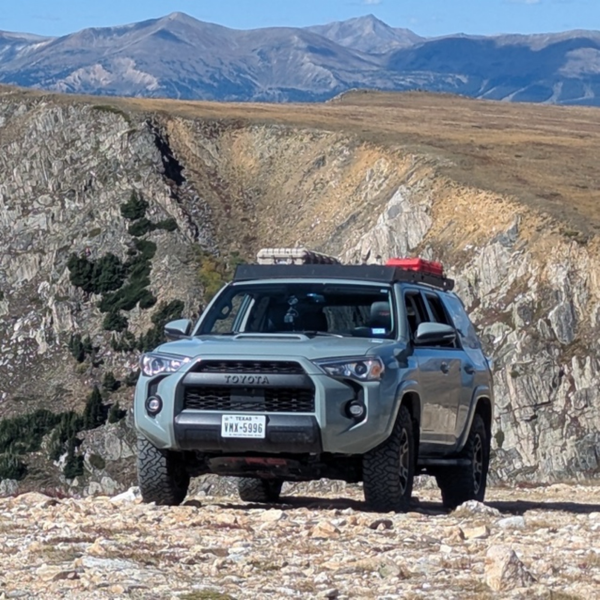
This was my favorite trail of the ones I did in the area. It was about as spicy as I can tolerate (I’m a noob). How this is rated 3 and Arroyo Pinos is also 3 is a mystery; this is much more challengi...
Papa Murph
Rated 5/5
Open
Visited: 07/02/2026
Been on this trail a few times and honestly it got washed out and is super rocky. I’ve got a 2022 wildtrak Bronco which climbed it easily but was kinda spooky and was bashin skid plates!
W
Wyatt
Rated 3/5
Open
Visited: 07/01/2026
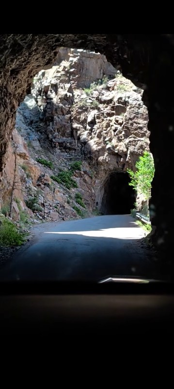
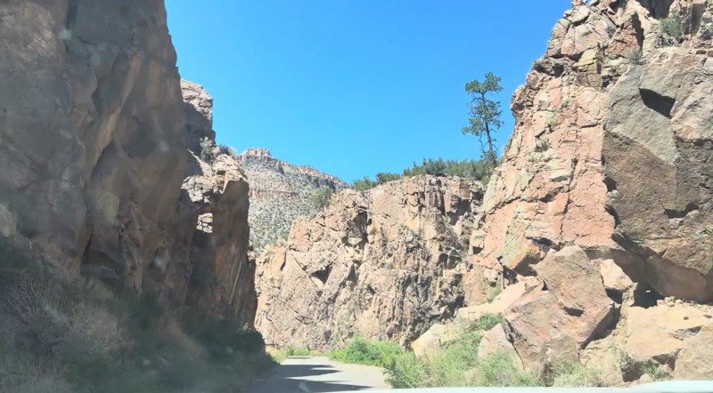
Beautiful drive that's approachable for most 2WD vehicles. The southern section, from the highway north through the Gilman Tunnels, is paved and offers some of the best scenery on the route, with the ...

Desi
Rated 5/5
Open
Visited: 06/27/2026
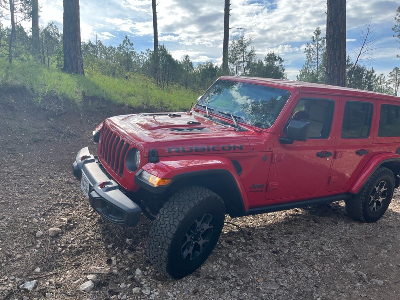
Didn’t use 4x4; easy, beautiful trail. You’ll hit 8100 fr and continue through a gate into a sandy area (if traveling from 82 west of Mayhill) take a left at cargapp and continue up, or take it back t...
J M Woolard
No Rating
Open
Visited: 06/26/2026
According to Agency date data, this trail should be open for the season.
Trails Offroad
No Rating
Open
Visited: 06/26/2026
According to Agency date data, this trail should be open for the season.
Trails Offroad
Rated 4/5
Open
Visited: 06/24/2026
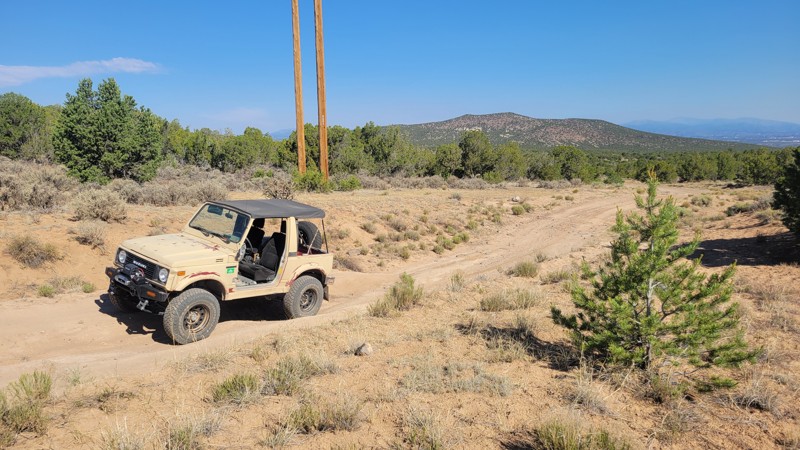
This is the main trail into the Caja Del Rio. Some minor washouts in the summer are normal, but usually don't affect travel.
RG
Remington Gillum
Official Crew
Rated 4/5
Open
Visited: 06/24/2026
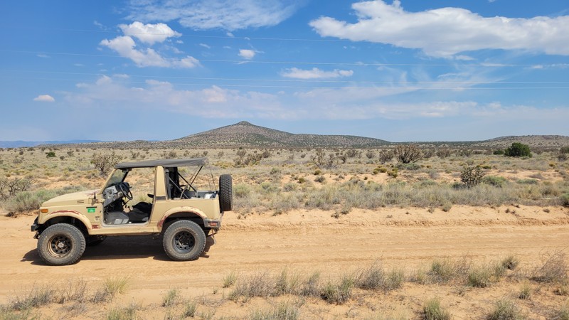
There is some washboard at the bottom, but it is otherwise smooth. The road can become unpassable when muddy.
RG
Remington Gillum
Official Crew
Rated 4/5
Open
Visited: 06/20/2026
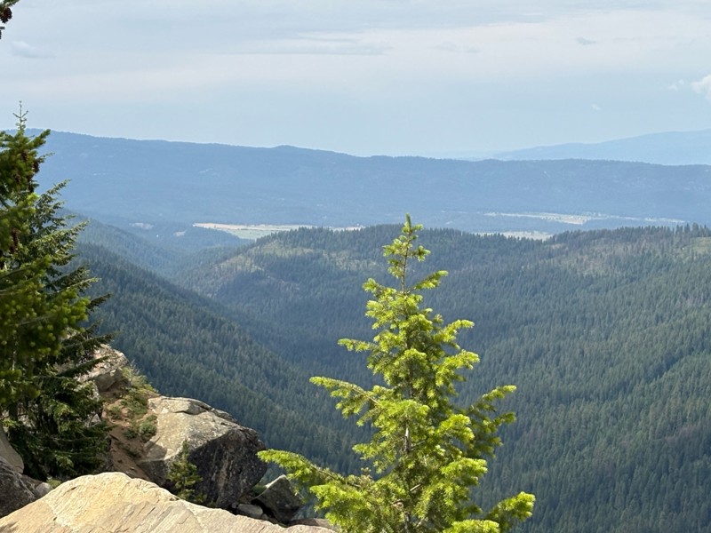
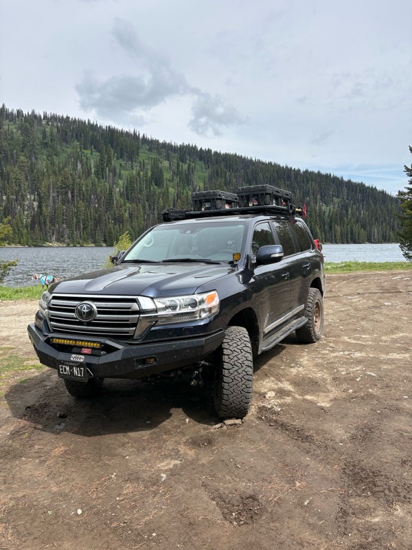
Nice easy and scenic trail. It is pretty washboarded, but not too bad. Very heavily trafficked, but it was a weekend.
Bryan Peterson
No Rating
Partially Open
Visited: 06/13/2026
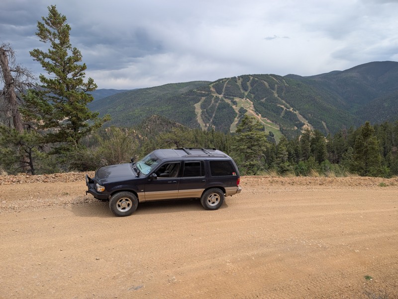
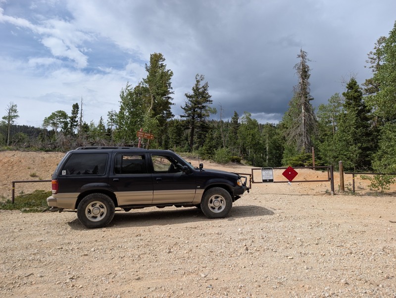
Easy scenic drive. Gate at the top stated the final section to the peak was closed. Worth the drive to escape the tourists in Red River. Easy climb to the top and back down.
Todd Schaffer
No Rating
Open
Visited: 06/13/2026
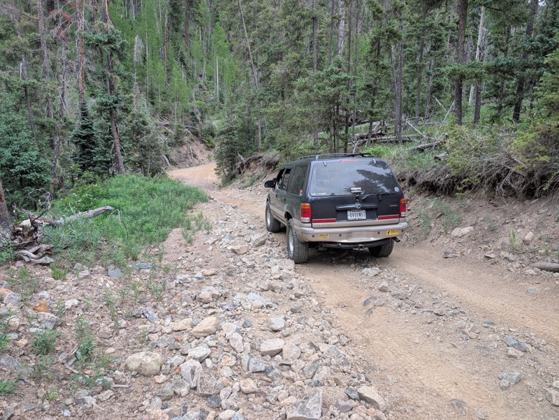
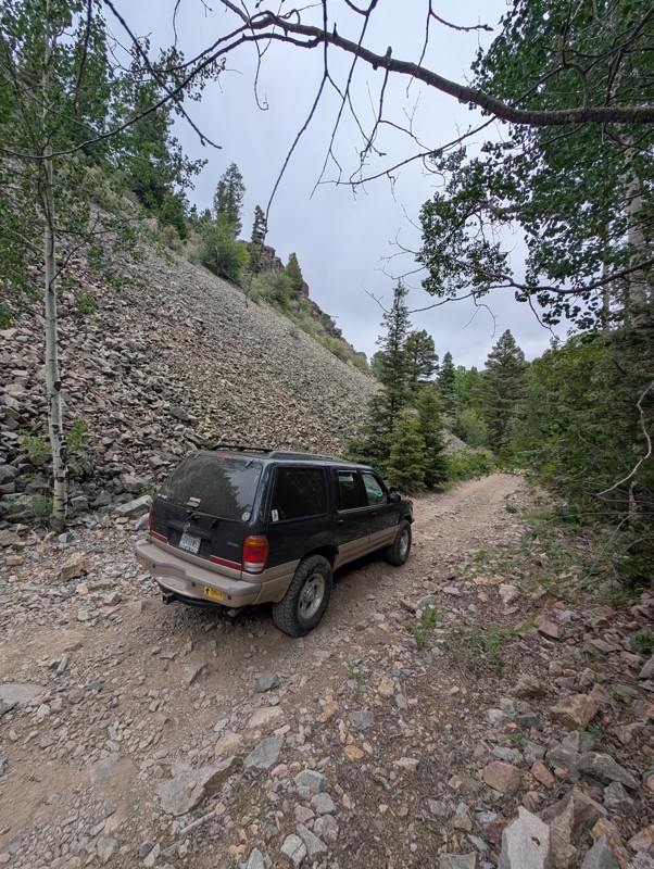
Drove this Saturday afternoon. Short trail ok if you don't have a lot of experience driving off road. Very rocky, watch for sharp rocks if you don't have the right tires. Suggest driving it early in t...
Todd Schaffer
Rated 4/5
Open
Visited: 06/06/2026
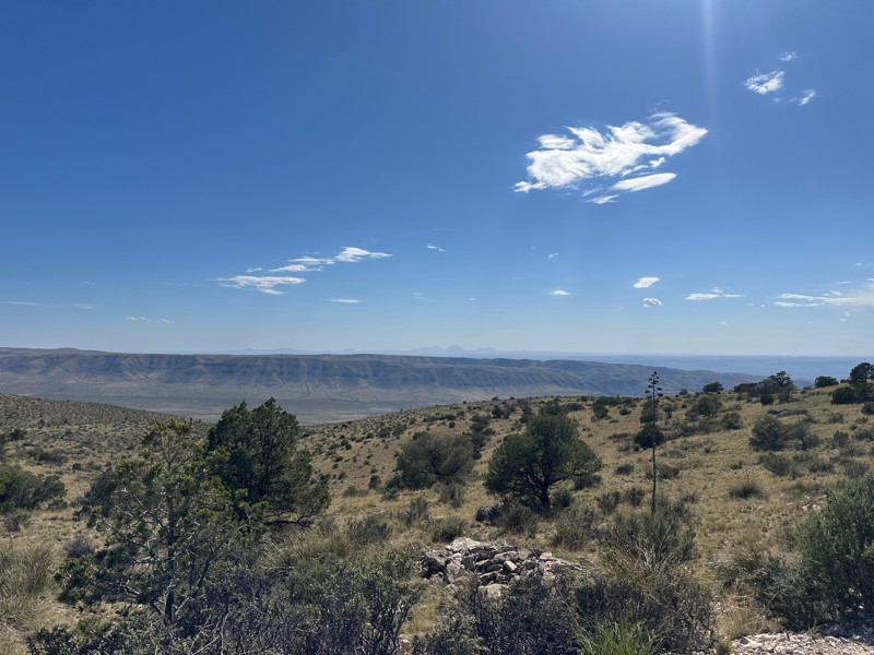
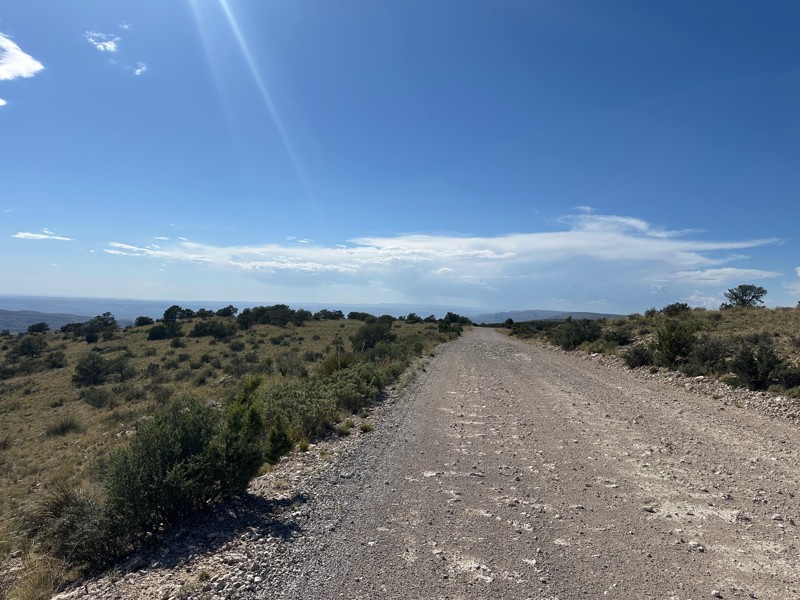
This trail is included in the first part of the New Mexico BDR. Beautiful views off the rim. When the wind in the valley below is above 20 mph, the wind on the rim can reach 50 or 60 mph.

Matthew Cordell
No Rating
Open
Visited: 06/06/2026
Nice ride for beginners. Not too tough and some nice views.
JH
John Hazle
Rated 5/5
Open
Visited: 06/01/2026
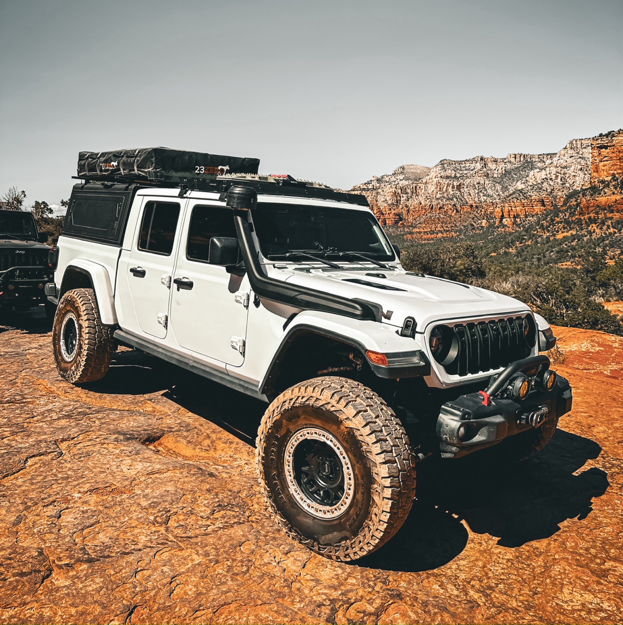
Okay so a few things about this trail, always either start west to east or northeast to southwest, the ruts on this trail over the years have turned it to more difficult on some spots. When going up t...
Francisco
No Rating
Open
Visited: 05/20/2026
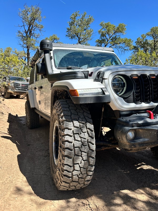
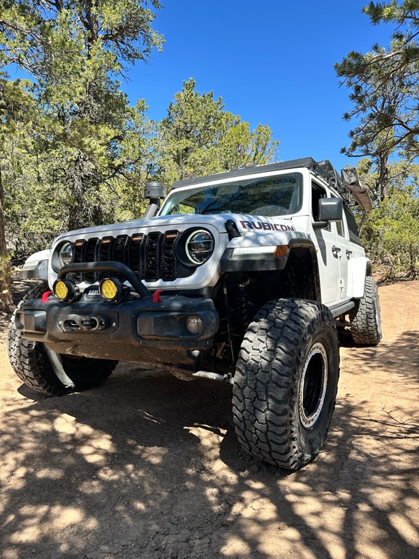
Now open, the obstacles have turned more difficult over the past year or so. Big steps up to 24inches in height, 4wd is definitely recommended and some mud holes that can have up to 36 inches of water...
Francisco
Rated 5/5
Open
Visited: 05/03/2026
The Byway is less washboarded than usual at the moment. There are some steep washouts on both sides of the road in some places so keep your eyes on the road.

Mary Turpin
Mary Turpin
Rated 5/5
Open
Visited: 05/03/2026
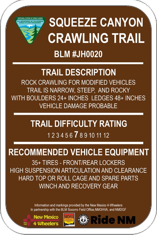
Today was a walking-the-trail encounter with Squeeze. We'd never seen it, and the trail has a reputation with locals for body damage. Much of the trail is typical Gordy's rock crawling fun. The last s...
Mary Turpin
Rated 5/5
Open
Visited: 05/03/2026
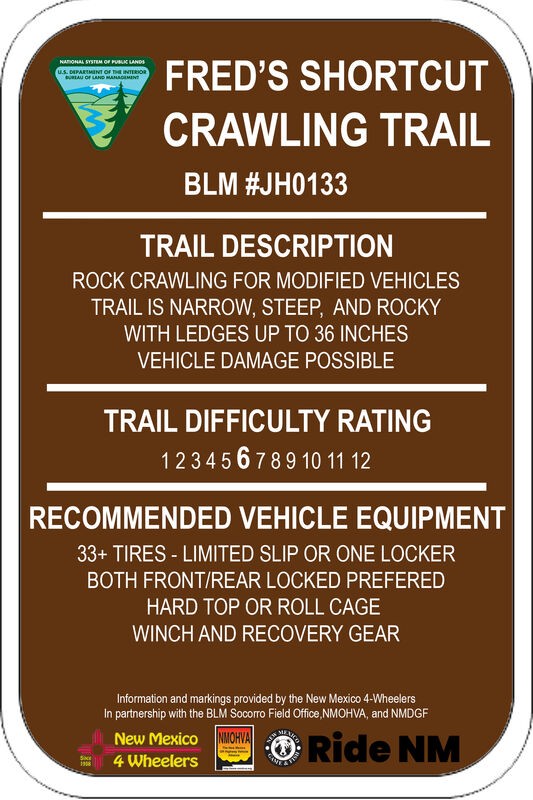
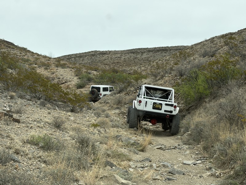
Fred's Shortcut is a fabulous little connector trail within the Gordy's Hill OHV Area. Connecting Upper Amado to Chupadero Mine Road, you can run Lower Amado or Hidden Valley in the morning, and Cat S...
Mary Turpin
Rated 5/5
Open
Visited: 05/03/2026
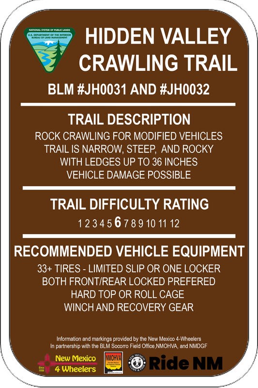
Three New Mexico 4 Wheeler rigs started our day on HV. The gatekeeper is in great shape and easy to climb since the hole at the bottom remains filled in with sand, as it's been all winter. We didn't p...
Mary Turpin
Rated 5/5
Open
Visited: 05/03/2026
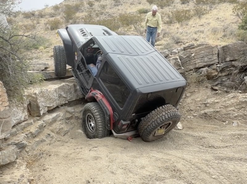
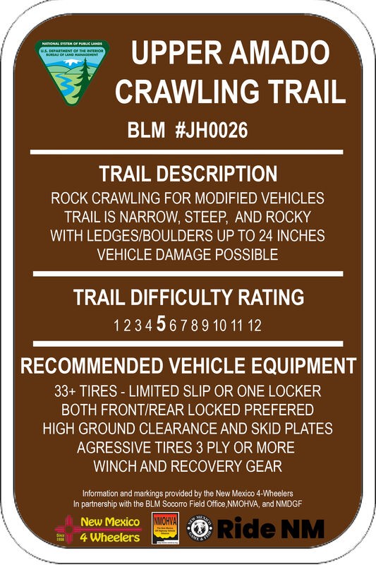
Upper Amado is a fun trail the New Mexico 4 Wheelers and other locals often use as a connector trail to access multiple rock rock crawling trails in the Gordy's Hill OHV Area. Three of us used it to c...
Mary Turpin
Rated 4/5
Partially Open
Visited: 04/11/2026
Blocked by snow about 2/3rds of the way up. Some sections are snow packed at higher elevations. Otherwise muddy, but decent. Trail is very narrow, not a lot of room to turn around. Slick sections can ...

Patrick Baldwin
Rated 4/5
Open
Visited: 03/19/2026
A nice experience for our first off-roading experience in our new Outback Wilderness. Nothing too challenging, mostly some deep ruts and shallow streams that were good easy practice for this type of d...
ZW
Zacary W.F.
Rated 5/5
Open
Visited: 03/16/2026
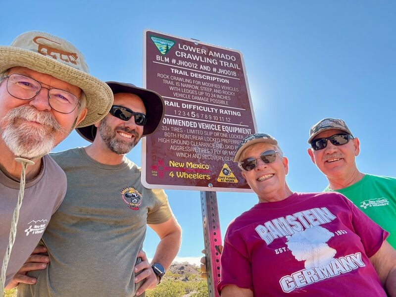
Today is a huge celebration for the New Mexico 4 Wheelers. Lower Amado (formerly Pucker Falls) was named a Jeep Badge of Honor trail today! Our members first walked the desert at the newly-created Gor...
Mary Turpin
Rated 5/5
Open
Visited: 03/14/2026
Arch Canyon is one of our Gordy's Hill OHV Area-home territory trails for the New Mexico 4 Wheelers (www.nm4w.org). I took a crew to do some trail maintenance on the exit end of Arch and holy cow, it'...
Mary Turpin

Scott Mitchell
Official Crew
Rated 5/5
Open
Visited: 03/07/2026
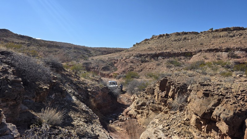
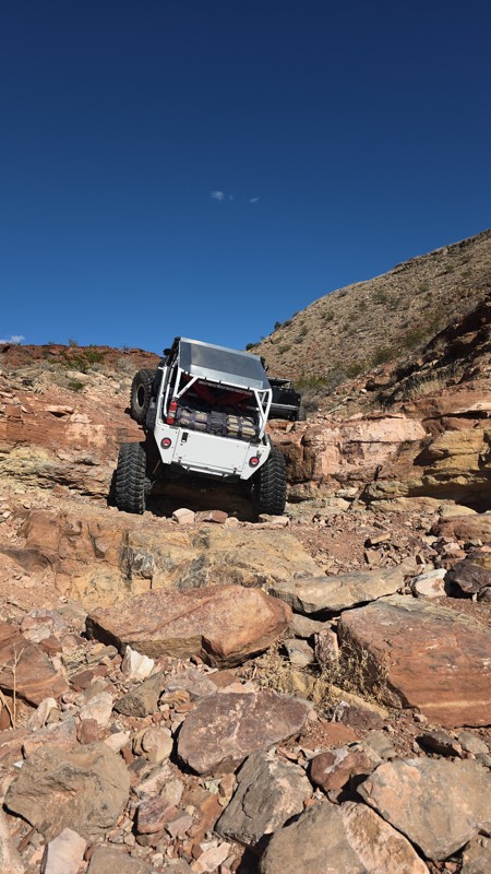
The trail is constantly changing with some obstacles definitely becoming more challenging. Still a solid 9 and always a great time!
Scott Mitchell
Official Crew
Rated 4/5
Open
Visited: 03/07/2026
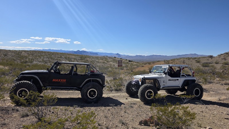
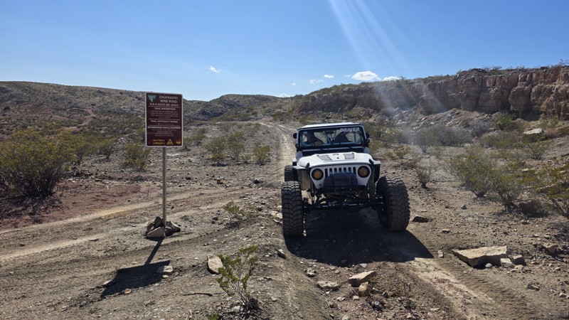
The trail is a bit more rutted between waypoints 5 and 6, and also from waypoint 8 to waypoint 10, but it remains consistent with the rating. It's a great jaunt into the interior of the Quebradas.
Scott Mitchell
Official Crew
Rated 4/5
Open
Visited: 03/07/2026
We ran this one following a trip up Coyote Hills. This trail remains pretty consistent with the trail guide with no noticeable changes.
Scott Mitchell
Official Crew
Rated 4/5
Open
Visited: 03/07/2026
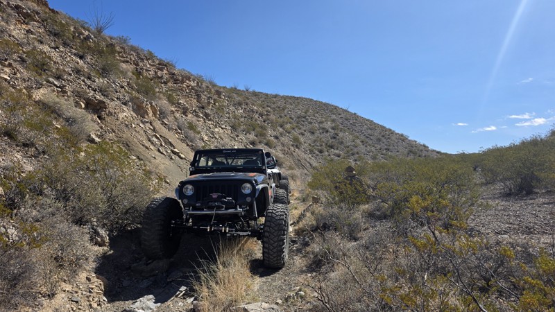
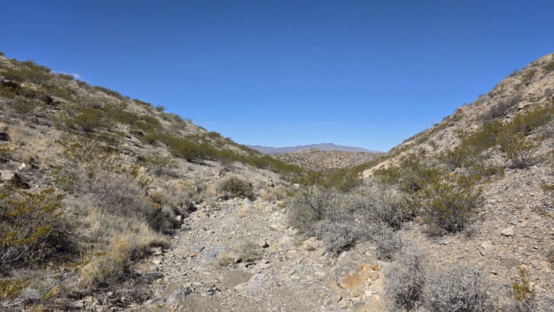
Easy trail for a high clearance 4WD. This is a good trail for making a loop from Bad Hair Day to the upper half of Arch Canyon, which terminates at the Chupadero Mine Road (Minas del Chupadero). It'...
Scott Mitchell
Official Crew
Rated 5/5
Open
Visited: 02/21/2026
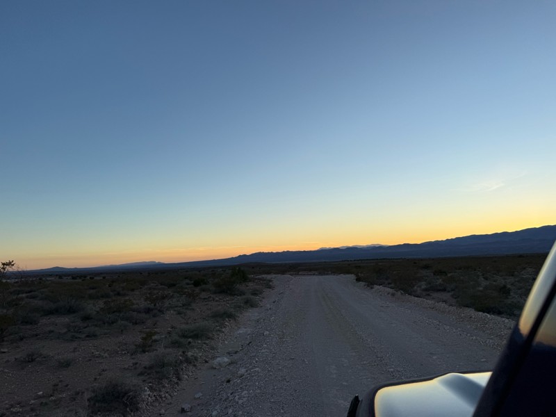
Nice easy drive. A few bumpy spots as to be expected from a dirt road. Beautiful drive through the foothills at sunset.
FM
Felecia Merkel
Rated 5/5
Partially Open
Visited: 01/31/2026
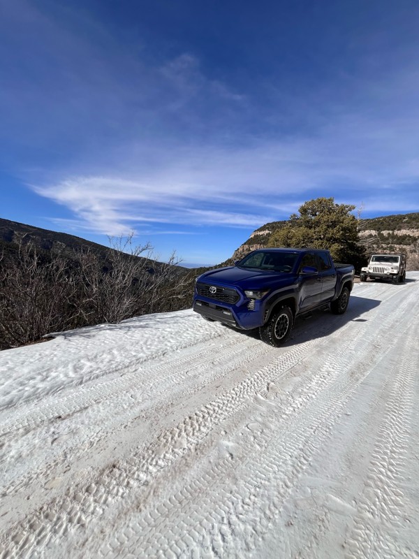
1/2 way up there is a sign that says road is closed and to proceed at your own risk. I had no problems going up this afternoon. I went with a 2nd gen taco TRD Sport totally stock and a ‘98 Wrangler Sa...
T
Tricky_rick
Rated 5/5
Open
Visited: 01/24/2026
NM4W ran Lower Amado going backwards as a last minute addition to explorations on this day. We had done Bad Hair Day and played on parts of Upper Amado earlier in the day, then came up the Causeway an...
Mary Turpin
Rated 5/5
Open
Visited: 01/24/2026
New Mexico 4 Wheelers took 5 rigs on BHD and had a blast! Rains the previous 24 hours made the trail damp, although not muddy. Wet sand allowed normally stable boulders to move as rigs went through, r...
Mary Turpin
Rated 5/5
Open
Visited: 01/24/2026
While most of the trail isn't a problem, it's always the hole at the base of the gatekeeper that is the question. Today it was completely filled in with sand, making the approach & climb a piece of ca...
Mary Turpin
No Rating
Temporary Closure
Visited: 01/17/2026
FR 144 is closed at the west end with a USFS sign that reads "No Motor Vehicles 1/1 - 4/15"
TS
Taylor Smith
Rated 5/5
Open
Visited: 01/10/2026
My club, the New Mexico 4 Wheelers, took 4 rigs on this fun trail on a chilly winter day and had all kinds of fun! Doug's is not a long trail but it is a solid Level 7. Lifts, lockers, and winches wer...
Mary Turpin
Rated 5/5
Open
Visited: 01/10/2026
All kinds of rock crawling fun on Bad Hair Day! Nothing is too hard on it's own, but the trail gives you a solid workout the whole way through. If you like rocks, rocks, and more rocks, this trail is ...
Mary Turpin
Most Popular
Updated: 02/29/2024
The Narrows
Derry, New Mexico
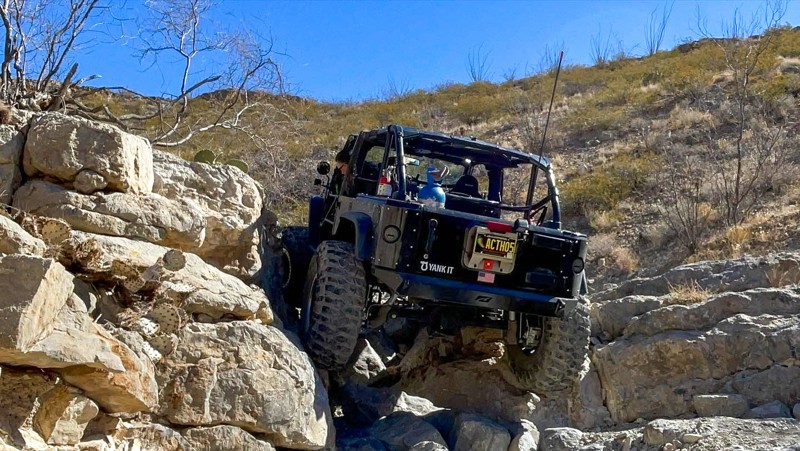
It may come as a surprise that one of the favorite hard-rated trails of the annual Chile Challenge runs parallel to and just yards from Interstate 25, but The Narrows is that trail. Fun and challenging, this trail lives up to its name for putting the squeeze on. The Narrows will test drivers with technical obstacles, but it also offers excellent desert scenery and beautiful views along the way.
Located near the Caballo and Percha Dam State Parks, The Narrows is one of many trails in the Lost Hills of the Caballo Mountains. This area is home to the annual Chile Challenge offroad event, which has been running for over 30 years. These are some of the most famous trails in New Mexico, and they do not disappoint.

Updated: 04/07/2024
ATV Pass
Escondida, New Mexico
Despite its name, ATV Pass is wide enough for 4WD vehicles. This is a hilly trail with spectacular 360-degree views along the ridge lines of the Cerrillos del Coyote (Small Hills of the Coyote). Upon reaching the top of The "Pass" at Waypoint 2, there is an expansive view to the north, across the Arroyo de la Parida and Ojo de la Parida. ATV Pass is a fun trail to drive, with its steep, rocky grades, off camber turns, and countless ravine crossings, it will definitely keep your interest.
The area around this trail, known as the Quebradas (the Breaks), is frequented by many types of outdoor enthusiasts including XC bike racers, hikers, and off-roaders, to name a few. The Quebradas is located between two major protected wildlife areas, the Sevilleta National Wildlife Refuge to the north and Bosque del Apache National Wildlife Refuge to the south.
One can easily plan a full day or multiple days of wheeling in this area, which is part of the 6,000-acre Gordy’s Hill Off-Highway Vehicle (OHV) Area.

Updated: 03/31/2025
Boy Scout Mountain
Arabela, New Mexico
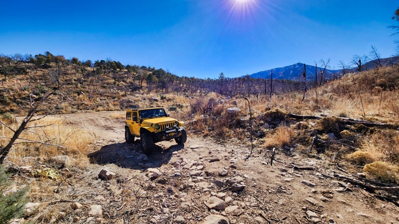
Boy Scout Road is a bumpy ride up into the New Mexico wilderness. The short trail meets up with a number of hiking trails, including the Captains Peak Trail. The rough road is not seasonal but does have gates in the event of bad weather or known washouts. The end of the trail is gated. Return the way you came.
Updated: 06/05/2022
Mount Sedgwick
Milan, New Mexico
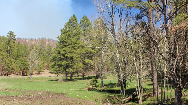
The highest peak in the Zuni Mountains, Mount Sedgwick sits at 9,256 feet. A great feature of this Cibola National Forest trail is that you can drive your 4WD vehicle all the way to the top! On the summit, an amazing 360-degree view awaits you in a spot where you can take a rest or picnic and enjoy the fresh air among tall ponderosa pines.
East, across the valley of the Rio San Jose, sits one of New Mexico's highest peaks, Mount Taylor. Also visible in the distance to the east are the towns of Milan and Grants. To the south are the sandstone bluffs of El Malpais National Monument.
Updated: 09/09/2026
La Mosca Peak Look Out
San Mateo, New Mexico
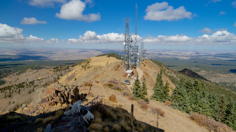
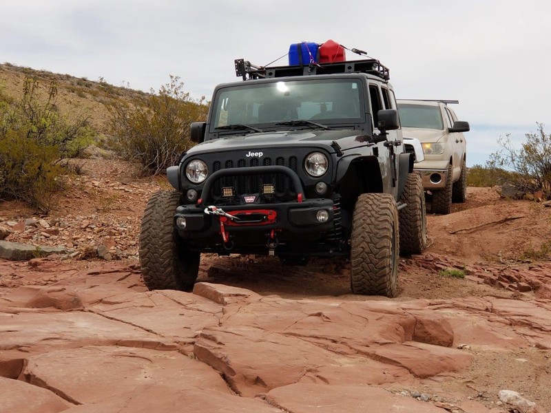
La Mosca Peak Look Out is a must-do trail if you are running around the Cibola National Forest north of Grants, New Mexico. The trail travels in a half-loop shape, starting and ending off Laguna Bonita Road. The trail climbs to the La Mosca Peak Look Out and radio towers at 11,036 elevation just below the summit of Mount Taylor. The views from the top of this trail are incredible. Standing at the base of the lookout platform can be almost vertigo-inducing. Although you can climb the stone steps up to the lookout tower's base, the public cannot access the interior or upper level of the tower itself. There are at least six dispersed camping sites of various sizes across the 16 miles of this trail.
The moderate rating is due to sections of steep climbs on the way up to the lookout, with shelf drops posing a higher risk during inclement weather and may feel daunting to novice drivers in good weather. Apart from a short, exposed rock area north of the lookout tower, most of the trail is rough dirt and easily traversed.
Updated: 03/16/2026
Chupadero Mine Road
Escondida, New Mexico
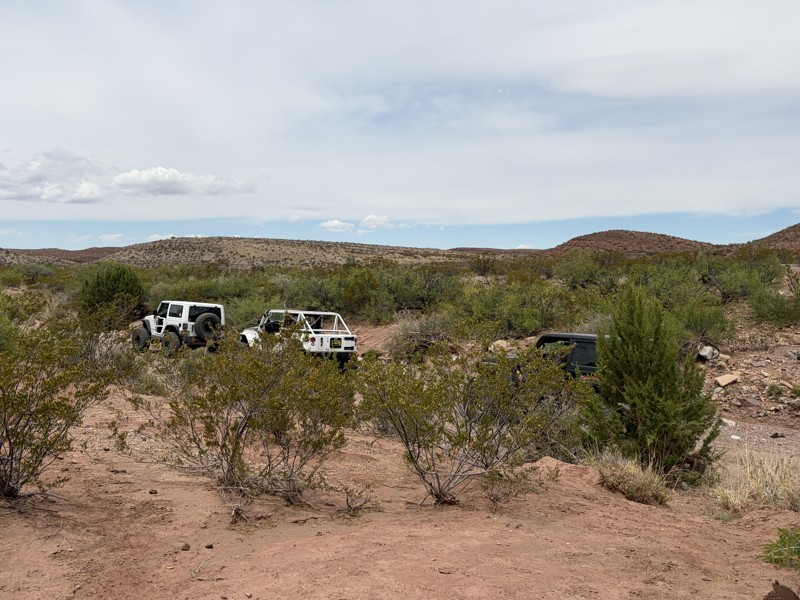
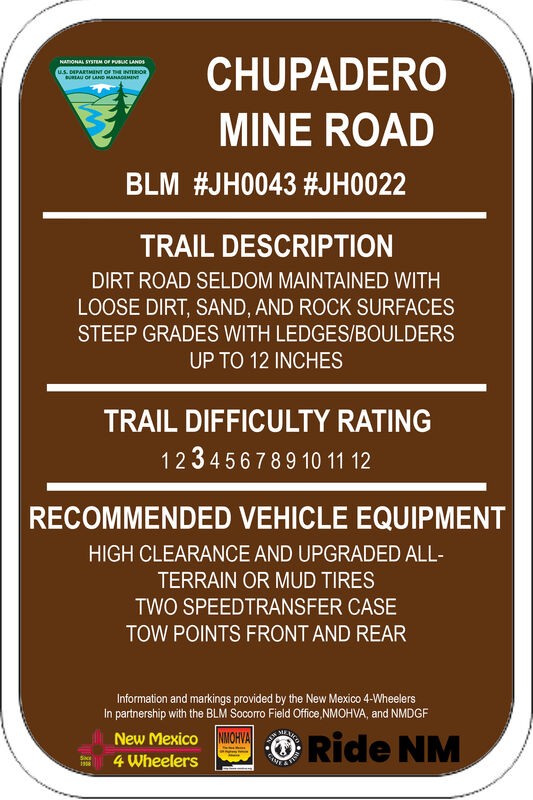
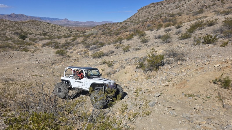
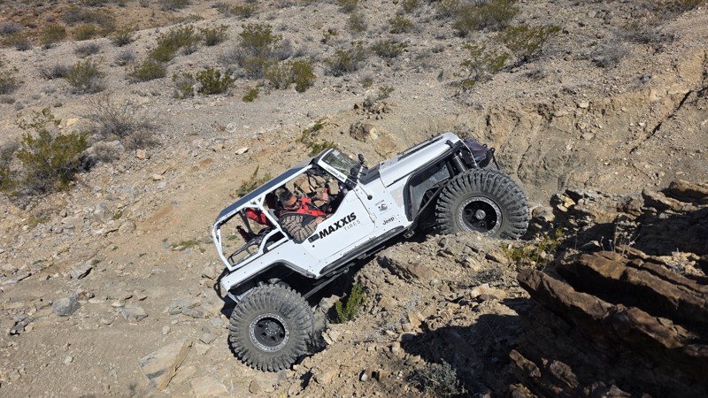
Chupadero Mine Road is a ruggedly beautiful two-mile trek into the Chihuahuan Desert Scrub of the Quebradas. The trail crosses multiple arroyos that drain into the Rio Grande River and erosion here has created not only breathtaking and scenic geological exposures, but also some excellent 4WD opportunities. Located within Johnson (Gordy's) Hill OHV Area, the area has many recreational uses, including 4WD, OHV, equestrian, and bicycle riding, camping, hiking, and photography. There are two nearby wildlife refuges, the Bosque del Apache National Wildlife Refuge to the south and the Sevilleta National Wildlife Refuge to the north, as well as multiple wilderness observation areas along the Quebradas Backcountry Byway. The Magdalena Mountains, Ladrone Mountain, Sandia Mountains, Manzano Mountains, Oscura Mountains, San Andreas Mountains, and other features too numerous to list can be seen in the panoramic views from this trail.

Updated: 12/11/2024
Lower Arroyo de Los Pinos
Escondida, New Mexico
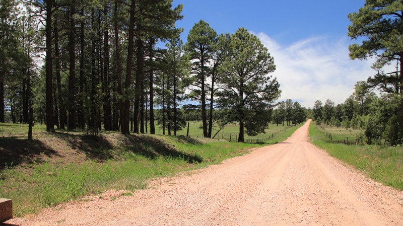
Near Socorro, NM and located off of the incredibly scenic Quebradas Backcountry Byway, this segment of Arroyo de Los Pinos is great for employing your driving skills while seeing much more of the area than you could from the Byway above. As you arrive, the color of the rock and earth are impossible to miss due to the presence of hematite, the same mineral that gives the planet Mars its red hue. The first segment of the trail from the Quebradas road to the arroyo floor takes you through a 400-foot elevation change, providing beautiful panoramic vistas of the region and its surrounding mountain ranges. Moving through the arroyo, bands of red and yellow sandstone, red and purple shale, and white to gray limestone are all exposed. There are many trails along the Quebradas Backcountry Byway, which divides the 6,000-acre Gordy’s Hill Off-Highway Vehicle (OHV) Area from west to east, providing offroad driving challenges for all experience levels and offroad vehicle capabilities.
Updated: 06/23/2025
Stinking Springs
McGaffey, New Mexico
Stinking Springs, FR 191, runs through the Cibola National Forest from Highway 400 to the edge of the Navajo Nation, where it becomes County Road 48. The trail begins in the east as a well-graded forest road with numerous large pine-shaded campsites passing Prewitt Lake and a large open meadow. Moving west, the road deteriorates with deep ruts before plunging off the western side of the Zuni Mountains into Stinking Springs Canyon via a narrow rocky shelf road with one extremely tight switchback turn. The views in the descent are impressive. The lower canyon is tree-lined and lush.
Updated: 12/11/2024
Doug's Dilemma
Escondida, New Mexico
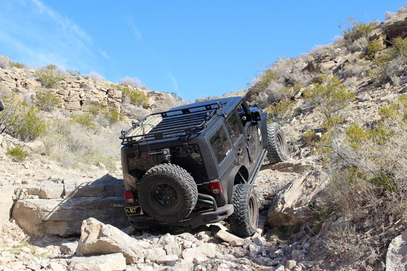
The BLM-administered area of the Quebradas (Spanish for "breaks") has 4WD trails ranging in difficulty from mild to wild. Known to local offroaders as a test of driver and vehicle alike, Doug's Dilemma is a challenging trail on the "wild" end of the scale. However, it can still be conquered without a purpose-built rock crawling rig or buggy. Though somewhat technical, requiring experience and a capable high-clearance 4WD vehicle, this is a really fun trail. If you enjoy the challenge of picking the right line while crawling over and through rock, you will like Doug's Dilemma!
Updated: 12/11/2024
Squeeze Canyon
Escondida, New Mexico
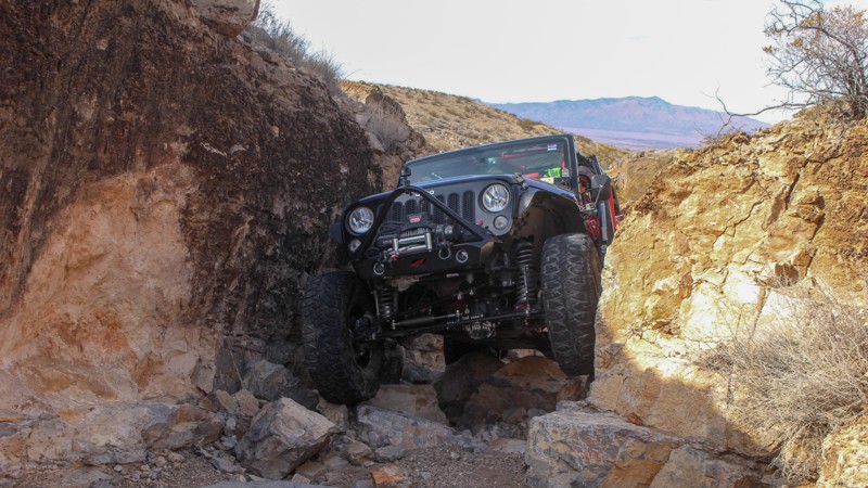
The scenic high mountain desert area near Socorro, NM that is the Quebradas encompasses the 600-acre Gordy's Hill OHV Area, home to dozens of 4WD trails as well as singletrack, hiking, and ATV trails. The area is adjacent to two wilderness study areas and there are two nearby wildlife refuges - the Bosque del Apache National Wildlife Refuge to the south and the Sevilleta National Wildlife Refuge to the north. Also found here is a trail known as Squeeze Canyon, the apex of which is a 100-foot gauntlet between two rock walls, littered with large rocks, that is only slightly wider than a vehicle. Squeeze Canyon is known for the challenge it offers offroad enthusiasts looking to test their skills, their nerve, and their willingness to accept possible vehicle damage. This trail is a delight for drivers who like technically difficult four-wheeling that is still short of extreme. Winding up this narrow, rocky ravine will demand all of a driver's attention, so it may be difficult to take in all of the natural beauty surrounding the trail. Nonetheless, it's worth a try, as millions of years of exposed geological features accent the landscape and despite being in the desert, the flora is magnificent year-round.
Updated: 09/10/2026
Milkweed Road to Lost Hills Access
Arrey, New Mexico
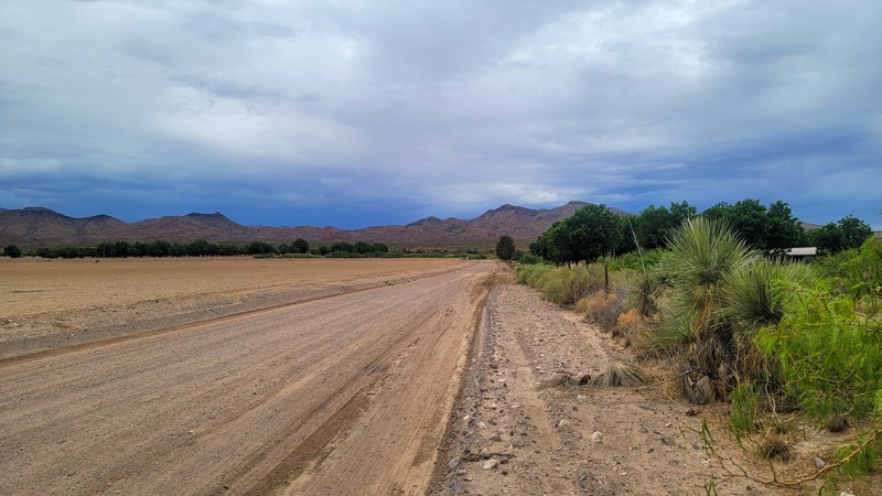
This route provides essential access to a number of the area trails. It starts as graded dirt roads on the west side of I-25. After going through an underpass tunnel turns into a rough 2-track road which is Lost Hills Access.
Updated: 09/10/2026
Lost Boys
Garfield, New Mexico
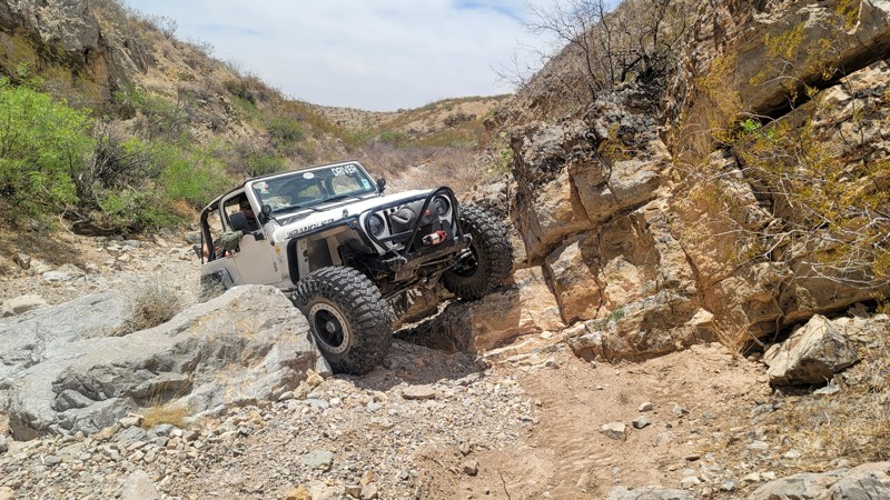
Lost Boys is a technical trail that takes about 45 minutes to reach via the Lost Hill Loop. Things get interesting quickly once on the trail with many technical obstacles, tight squeezes, and off-camber sections. Conquering the final obstacle often requires many vehicles to winch up. Though allowed, this trail is not really suitable for camping.
Updated: 03/16/2026
Coyote Hills
Escondida, New Mexico
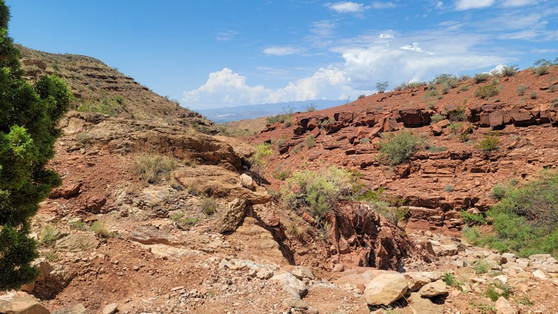
After a short 0.2 miles of dirt 2-track, Coyote Hills reaches the gatekeeper obstacle of Coyote Hills. From there, it is nonstop rock crawling and major obstacles one after another. There are no bypasses or winch points on this buggy-rated trail.
Updated: 12/11/2024
Upper Amado Canyon
Escondida, New Mexico
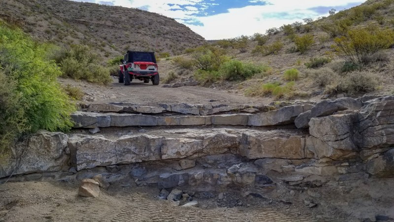
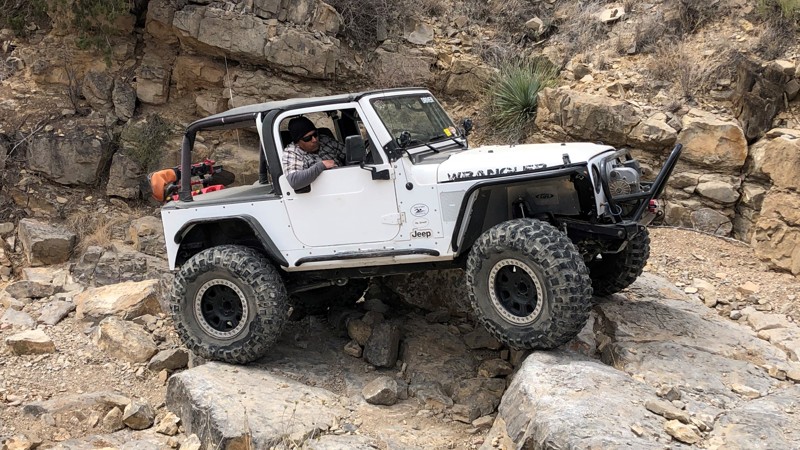
Venturing out from the Quebradas Backcountry Byway via Arroyo de Los Pinos and Hidden Valley Loop, the Upper Amado Canyon trail takes you deep into the desert badlands of the Quebradas (Spanish for "breaks") near Socorro, NM. There is a feeling of intense solitude while wheeling this trail, where the only sounds are the rocks beneath your wheels, your vehicle, and the occasional flying insect. The arid desert landscape of the Quebradas is harsh yet beautiful, and it's teeming with life. Moving through the area, bands of red and yellow sandstone, red and purple shale, and white to gray limestone are all exposed in stunning geological features. There are many offroad trails along the Quebradas Backcountry Byway, which divides the 6,000-acre Gordy’s Hill Off-Highway Vehicle (OHV) Area from north to south, providing offroad driving challenges for all experience levels and offroad vehicle capabilities. Upper Amado Canyon is part of a network of moderately technical/difficult 4WD trails concentrated in this section of the Quebradas that can be strung together for an awesome day of wheeling. If you enjoy the challenge of picking lines and a little rock crawling, you will like this trail!
Updated: 02/20/2024
Hopping Jalapeno
Dona Ana, New Mexico
A dramatic desert landscape of rock, cliffs, hills, and washes that are lined with ocotillo, prickly pear, yucca, and other native species is what awaits you when you travel to and through the Hopping Jalapeno trail. The trail has a great variety of driving challenges but don't let that distract you from enjoying the beauty of the land. There are many small trees along the trail that will allow you to catch a little relief from the desert sun while you enjoy the scenery and maybe a little picnic. This trail is fun to run in either direction, up or down.
Located at the northern tip of the Chihuahuan Desert, the Southern Robledo Mountains are home to the 100th active U.S. national monument, the Prehistoric Trackways National Monument, and within that, the Robledo Mountains OHV Trail System. Just four short miles northwest of Las Cruces, this network of trails, including extreme OHV and mountain bike trails, is easy to get to and close to all of the conveniences and services of a modern city.
The OHV areas here are separate from the Monument's sensitive fossilized trackway, and motorized vehicle travel is only permitted on designated trails and roads. Official signage for the trails is well and frequently placed, so it's easy to spot. The Monument includes a major deposit of Paleozoic Era fossilized footprint megatrackways containing footprints of numerous amphibians, reptiles, and insects (including previously unknown species), plants, and petrified wood dating back 280 million years.
Hopping Jalapeno and its neighbors are the trails of the original Chile Challenge event, which has relocated to the Caballo NM area.
Updated: 10/15/2024
Centerfire Road
Apache Creek, New Mexico
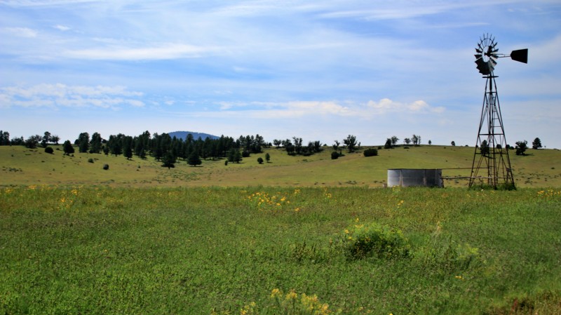
Centerfire road begins on private property on its northeastern end before quickly moving on to vast open grasslands dotted with tree-capped hills. This is open range, so watch out for cattle on the trail. There is a dispersed campsite near the intersection with Bill Knight Gap Road at the southwestern end of the trail. The ford at SA Creek can get deep and muddy after hard rains.

Updated: 12/11/2024
Bad Hair Day
Escondida, New Mexico
The BLM-administered areas of the Quebradas have 4WD trails ranging in difficulty from "mild to wild." Known to local offroaders as a test of driver and vehicle alike, Bad Hair Day is one of a handful of trails on the wild end of the scale that can be conquered without a purpose-built rock crawling rig or buggy, and it is a lot of fun to tackle! Getting to this trail takes you well into the ruggedly beautiful badlands of the Quebradas. About 1.5 miles off of the Quebradas Backcountry Byway, portions of two other trails are traversed in order to reach this trail. A popular destination for offroad enthusiasts, one can easily plan a full day or multiple days of wheeling in this area, which is part of the 6,000-acre Gordy’s Hill Off-Highway Vehicle (OHV) Area.

Updated: 12/11/2024
Flagstone Road
Escondida, New Mexico
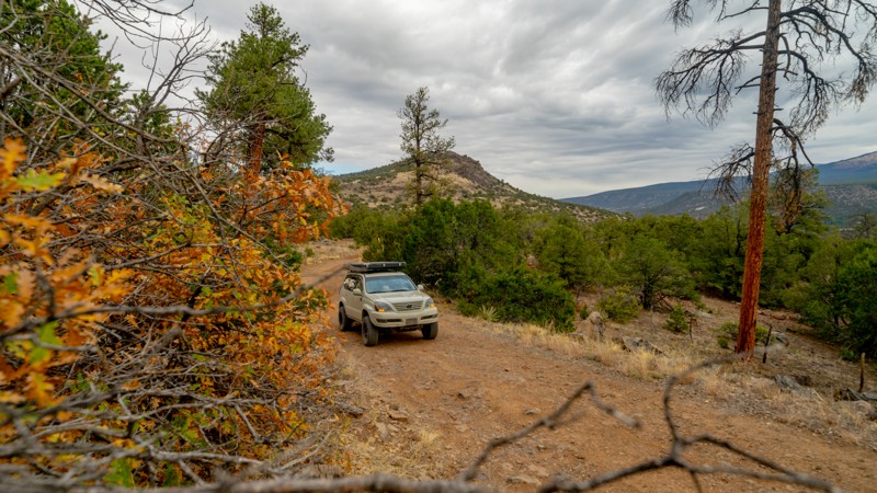
Flagstone Road gets its name from when it was a path for folks to head into the Coyote Hills to harvest flagstone, a popular material used in local architecture and landscaping. The 360-degree vistas along this trail are spectacular, and the array of rocks and fossils along the way is endlessly fascinating. Located in the Quebradas, an area known for its striking geological formations, including colorful rock layers, eroded cliffs, and distinctive landforms, Flagstone Road is the perfect trail for getting dirt under your tires and exploring the beauty of the New Mexico desert.
In addition to offroading, the area around the Quebradas Backcountry Byway offers several outdoor activities, including hiking, photography, birdwatching, and geology exploration. The unique rock formations and desert landscapes provide opportunities for both short walks and longer hikes.
The byway takes travelers through a variety of desert landscapes, including badlands, canyons, and arroyos (dry streambeds). The stark beauty of the desert scenery is a highlight of the byway.
Updated: 10/15/2024
Horace Mesa
Lobo Canyon, New Mexico
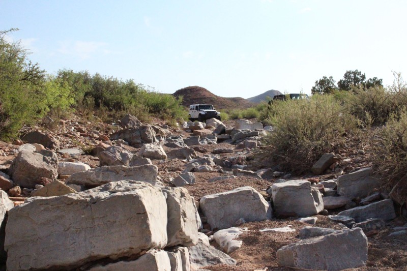
Horace Mesa is an easy dirt trail in the Cibola National Forest north of Grants, New Mexico. Running the half-loop-shaped route, you pass Lobo Canyon Picnic Ground, climb to the mesa edge, intersect with the Continental Divide Trail and Gooseberry Trail, and pass various dispersed campsites along the way. Views from the top of the mesa let you take in the beauty of the ponderosa forest. See if you can find the site featured in the camping photo. It's a gem! Most of the camping is located at the northern end of the trail.
Updated: 12/11/2024
Upper Arroyo de Los Pinos
Escondida, New Mexico
One of several major arroyos in the Quebradas area, Arroyo de Los Pinos runs alongside the first six miles of the west end of the Quebradas Backcountry Byway near Socorro, NM. There are many trails along the Byway, which divides the 6,000-acre Gordy’s Hill Off-Highway Vehicle (OHV) Area from west to east, providing offroad driving challenges for all experience levels and offroad vehicle capabilities. Upper Arroyo de Los Pinos is most notable for its increased technical difficulty in driving as compared to some of the other trails in the area. Moving through the arroyo is nonetheless scenic, as bands of red and yellow sandstone, red and purple shale, and white to gray limestone are all exposed in fascinating geological features. The Quebradas are located between two major protected wildlife areas, the Sevilleta National Wildlife Refuge to the north and Bosque del Apache National Wildlife Refuge to the south.
Updated: 08/11/2026
Six Mile Canyon
Jamestown, New Mexico
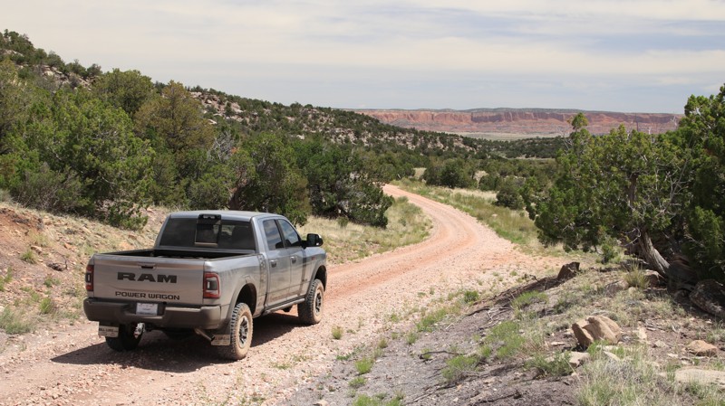
Running through the Cibola National Forest from I-40 to the historic hamlet of McGaffey, Six Mile Canyon passes sandstone bluffs, colorful bentonite hills, and a couple of surprise ponds. Most of the easy trail is in a forest of Ponderosa pines, junipers, and oaks. There are several dispersed campsites near the southern end of the trail.
Updated: 10/15/2024
Frisco Divide
Luna, New Mexico
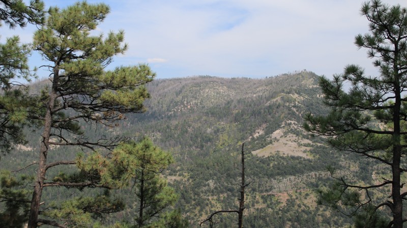
Frisco Divide runs through a dense mixed conifer forest from US 180 in the north to Pueblo Park in the south. There are steep grades and shelf roads at each end of the trail. Occasional breaks in the trees offer nice views. The best dispersed camping is near the trail's southern end, with the best site near the road's only meadow.
Updated: 12/11/2024
Edge Canyon
Escondida, New Mexico
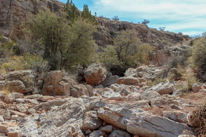
The Edge Canyon Trail starts off from the Quebradas Backcountry Byway near Socorro, NM, where it meets one of several major arroyos in the Quebradas area, Arroyo de Los Pinos. With options in degrees of difficulty along the way, this trail provides challenges for any level of driver but no need to worry - the extreme sections can be bypassed. A rarity in this desert area, many old trees exist at the end of the trail providing a beautiful place to enjoy the beauty of the area. The Quebradas Backcountry Byway bisects the 6,000-acre Gordy’s Hill Off-Highway Vehicle (OHV) Area. The lands here provide many recreational opportunities including offroad driving challenges for all experience levels and vehicle capabilities.
Updated: 10/15/2024
Godzilla
Garfield, New Mexico
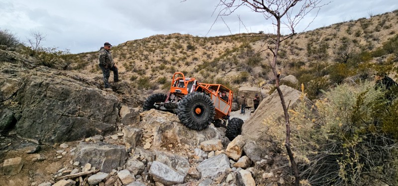
Godzilla is one of the newest rock crawling trails in the Caballo Reservoir area, and it is set as a level 8 for the 2024 Chile Challenge annual offroad event. This is an extremely rugged and technical trail. 37" or larger tire size, modified suspension, front and rear lockers, winch, and recovery gear are all recommended. There are optional 10+ level obstacles, and the possibility of breakage and body damage throughout the trail is genuine.

Upgrade your Membership
Unlock all of the details on every Trail Guide and Scout Route.
Start a 7-day Free TrialCommunity
Partners

