
Chamisoso Canyon (37.78 miles away)
Tijeras, New Mexico
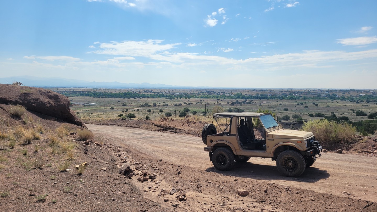

Camel Tracks Road is a mostly smooth and scenic climb from the Santa Fe River valley up onto the wide-open Caja del Rio Plateau, serving as the southern gateway into this rugged landscape west of Santa Fe. The road carries a quiet sense of history, following part of the original pre-1937 Route 66 alignment before connecting with Santa Fe National Forest Road 24. Along the way, drivers can expect sweeping desert views, rolling high-desert terrain, distant mountain backdrops, and the open, windswept feel that makes the Caja del Rio such a unique escape from the city. The drive is generally easy, with a mostly mellow surface with stretches of washboard, making it suitable for most vehicles in dry conditions.