Off-Road Trails & Off-Roading Near Ridgecrest, CA
Historic 4WD Routes, Desert Canyons, and Living Mining History
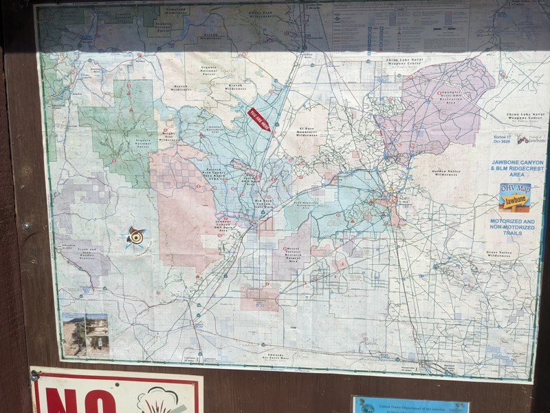
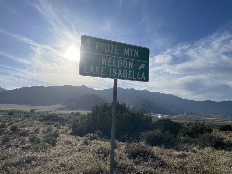
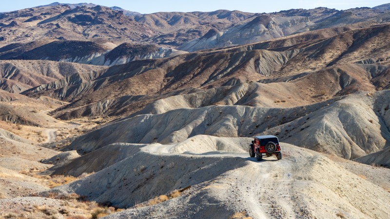
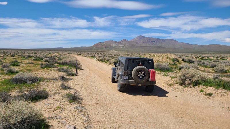
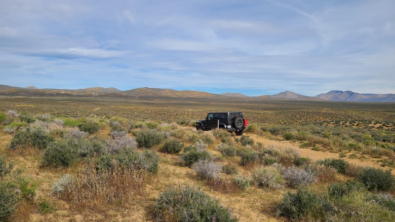
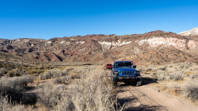
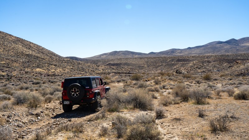
If you’re searching for off-roading near Ridgecrest, CA, you’re looking at one of California’s most historically rich and diverse off-road regions. Centered around Ridgecrest, this high-desert hub provides access to vast BLM lands, rugged mountain terrain, and the towering cliffs of Red Rock Canyon State Park. What sets Ridgecrest off-road trails apart is that many modern routes still follow the same mining and supply roads carved into the desert more than a century ago.
This makes the area one of California’s most intact desert mining landscapes, where history is not confined to museums—you experience it directly from the driver’s seat.
A Desert Written by Miners and Survivors
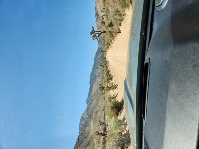
From the late 1800s through the mid-1900s, prospectors, homesteaders, and desert tinkerers pushed deep into the El Paso Mountains chasing gold, silver, and independence. They cut roads by hand, dug tunnels with simple tools, and built camps wherever water, shade, or shelter could be coaxed from the land. When many of these ventures failed, they were abandoned in place—leaving behind cabins, tunnels, and camps that still define today’s off-road routes.
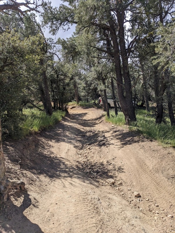
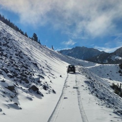
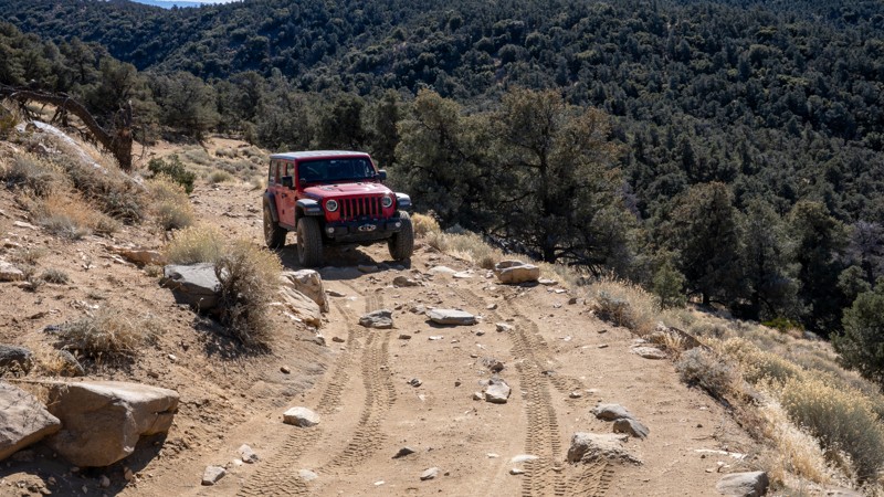
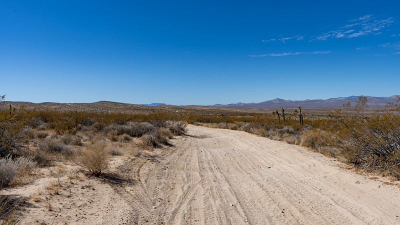
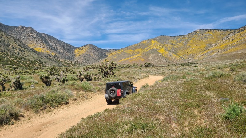
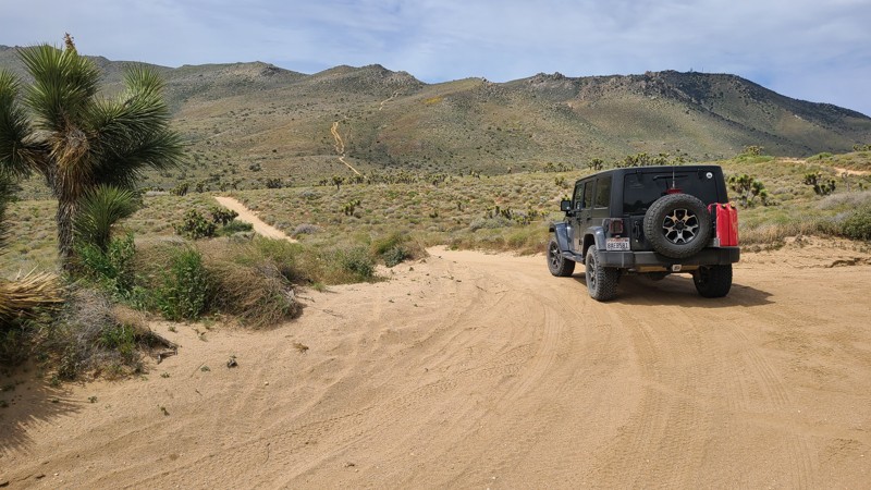
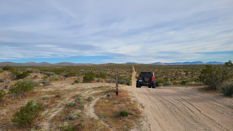
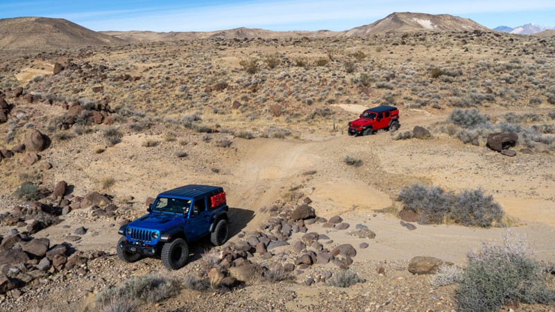
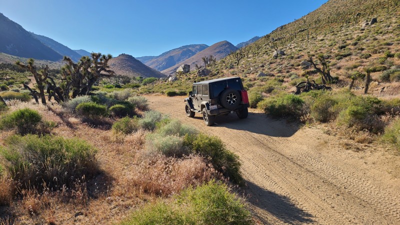
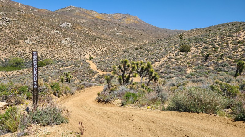
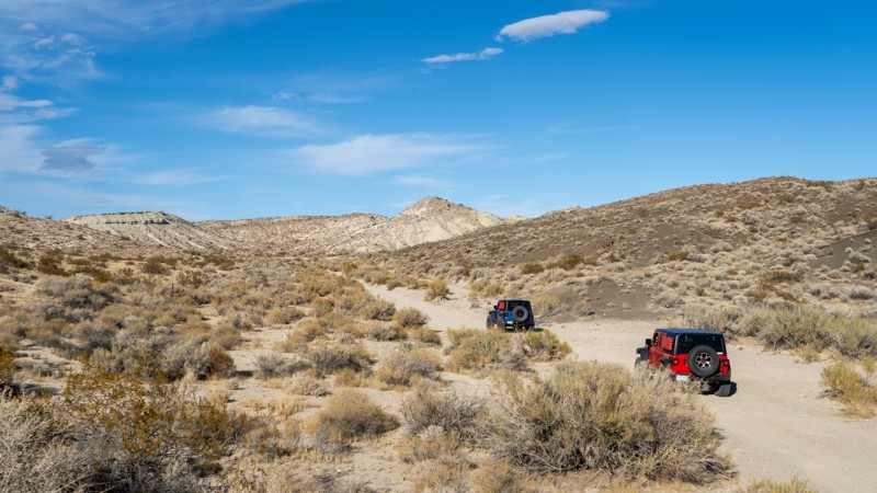
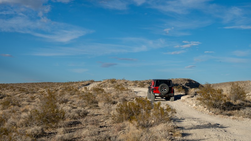
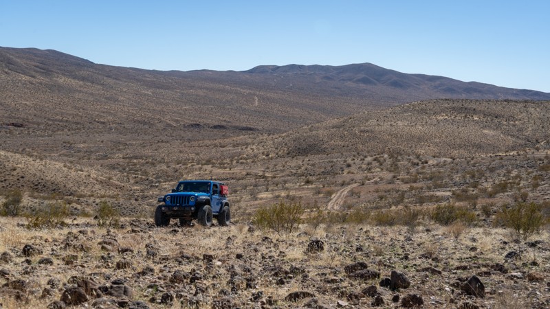
Must-Do Off-Road Trails Near Ridgecrest
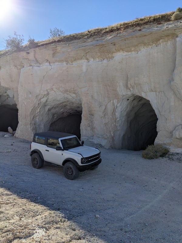
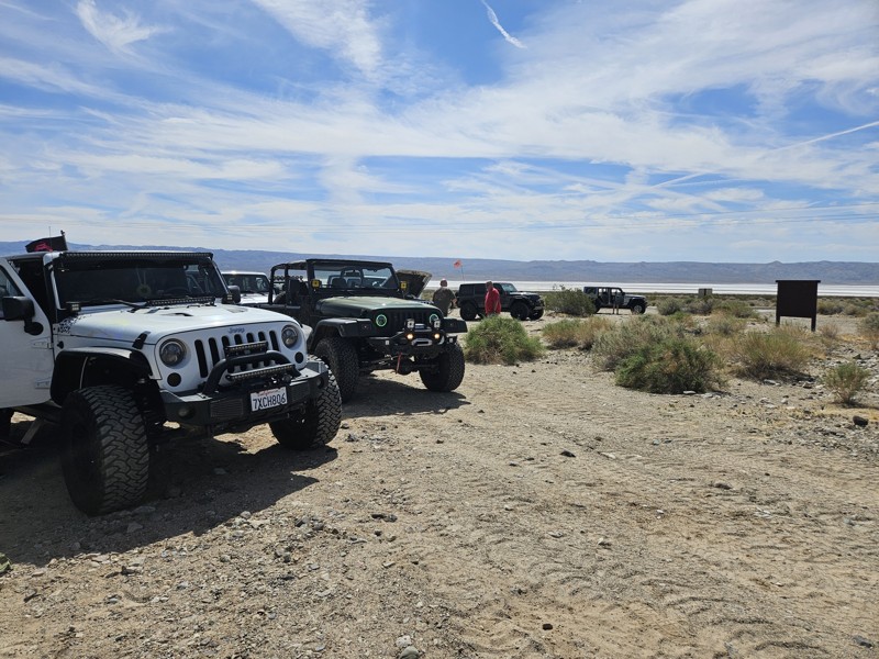
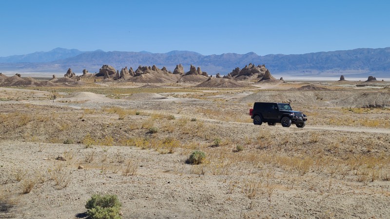
Trona Pinnacles
Rising dramatically from the Searles Dry Lake bed, the Trona Pinnacles are one of the most unusual off-road destinations near Ridgecrest. More than 500 towering tufa spires—some reaching 140 feet tall—formed underwater over 100,000 years ago. Today, the area is open to street-legal vehicles, hiking, and dispersed camping, with countless surrounding four-wheel-drive roads extending the experience. The Pinnacles are also widely recognized from their use as filming locations in major movies and television shows.
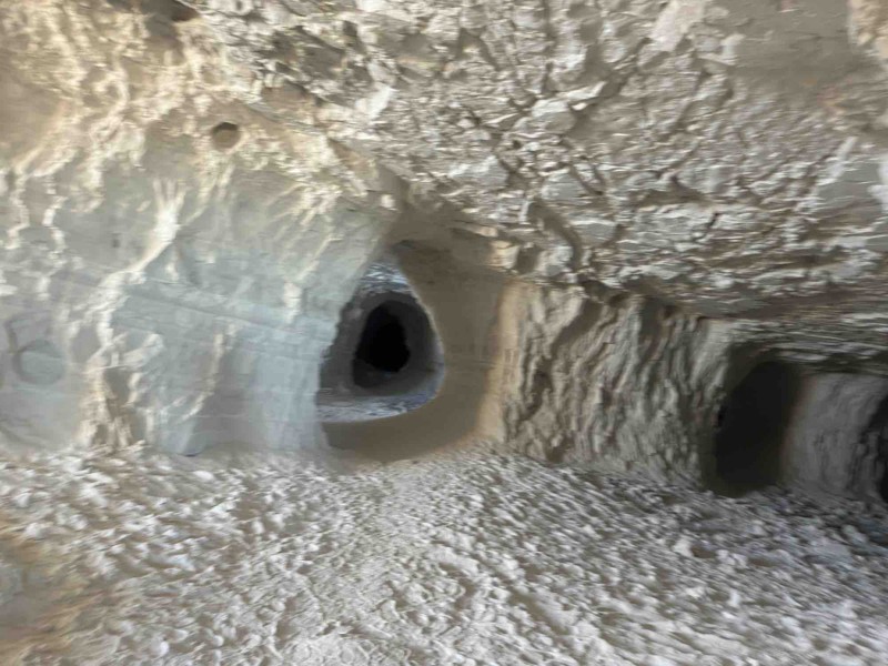
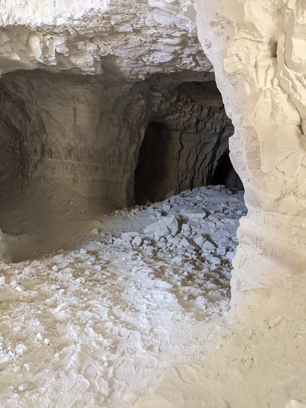
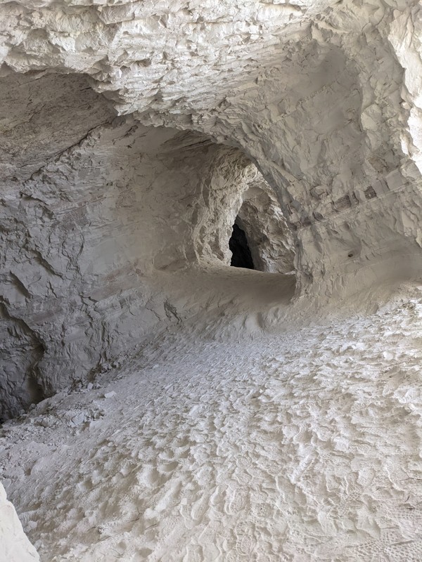
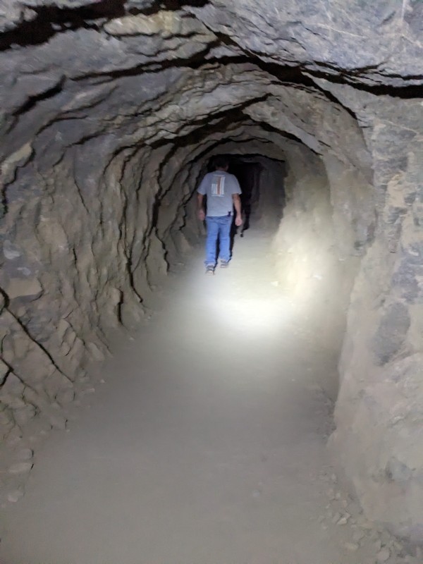
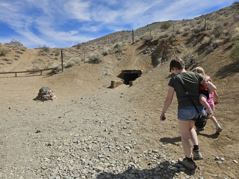
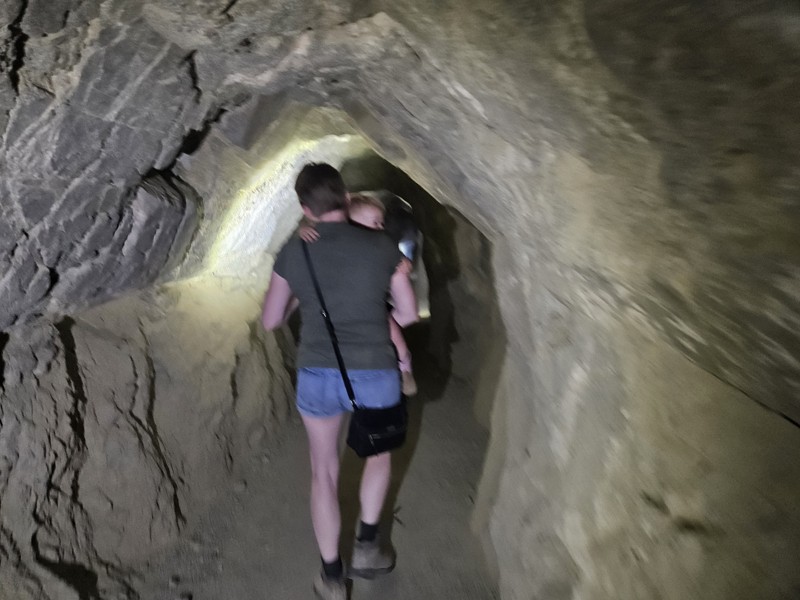
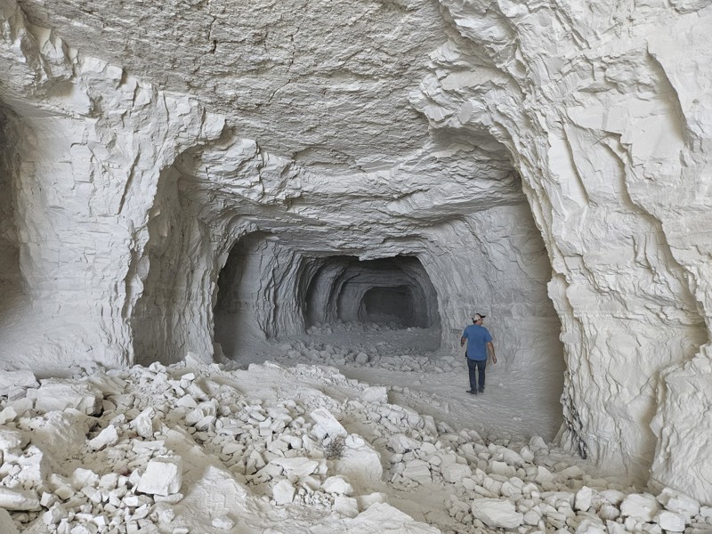
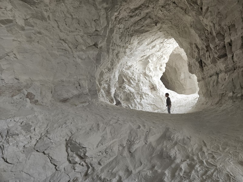
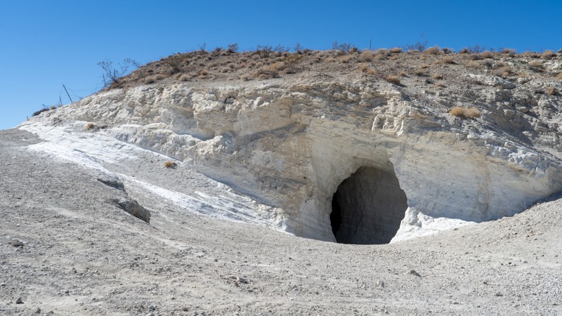
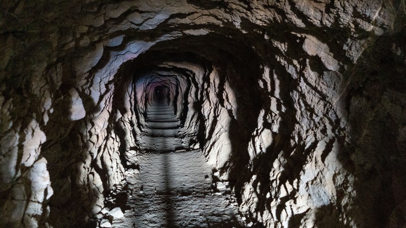
Burro Schmidt Tunnel
Accessible by nearly any vehicle, the Burro Schmidt Tunnel tells one of the Mojave Desert’s most remarkable individual stories. William “Burro” Schmidt spent 33 years digging a tunnel through Copper Mountain by hand, driven by the belief it would serve as a shortcut. Visitors can walk through the tunnel today with a flashlight, emerging on the far side to expansive desert views and additional trail connections.
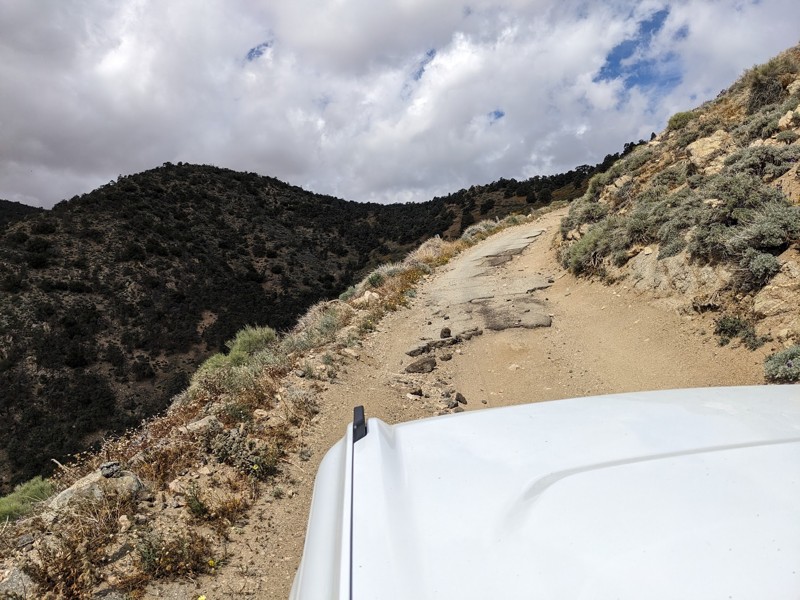
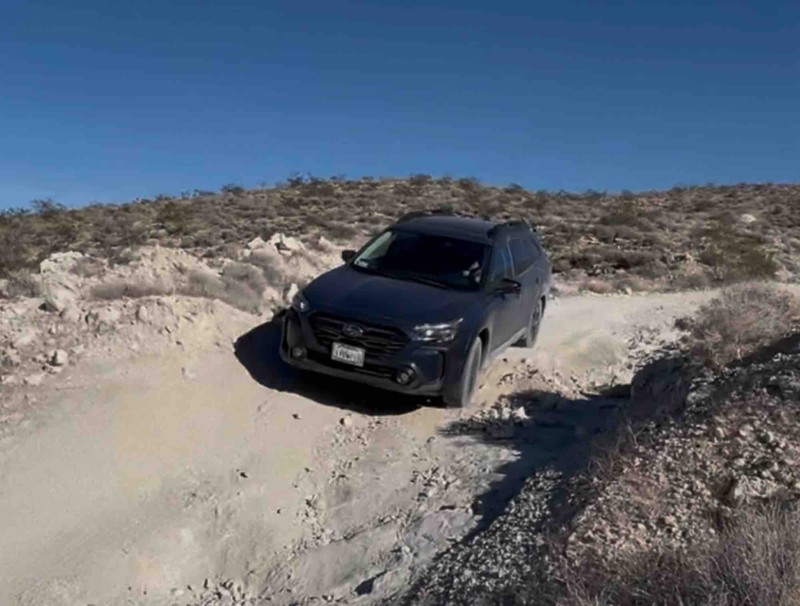
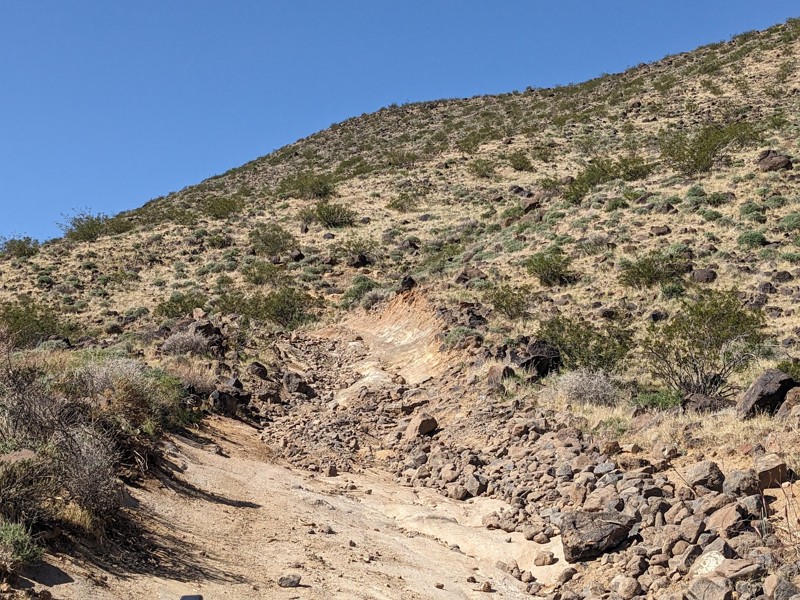
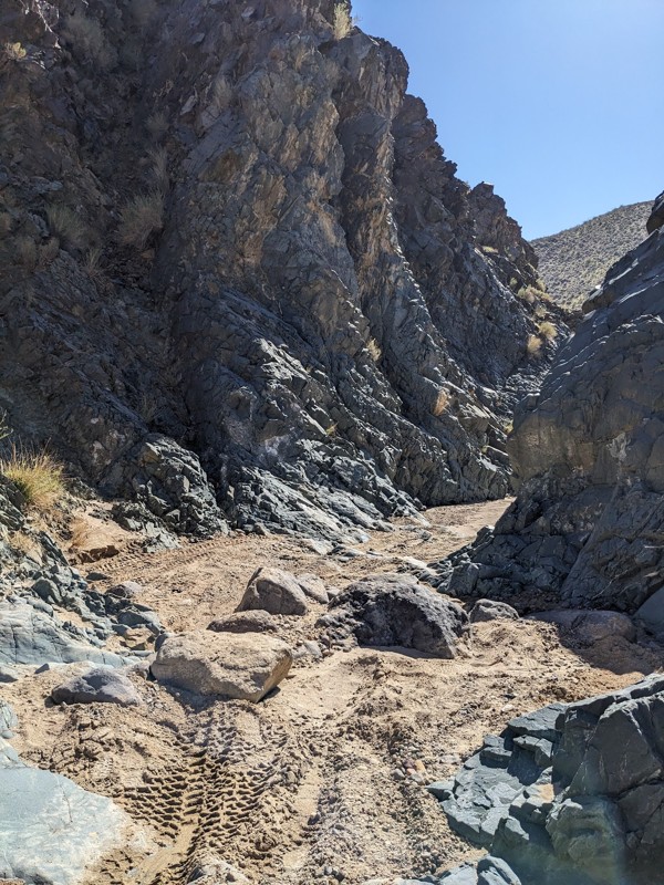
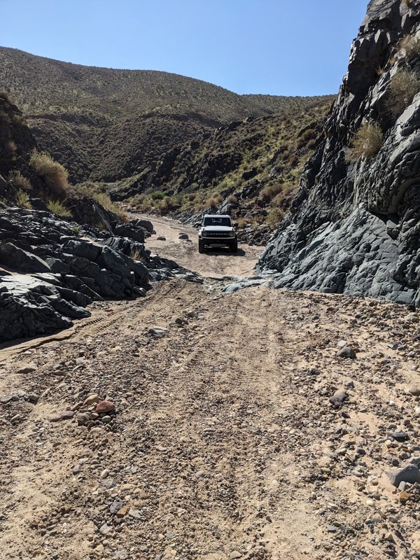
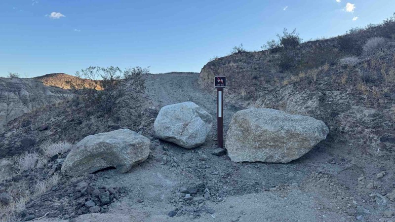
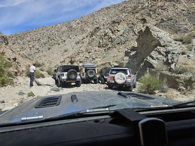
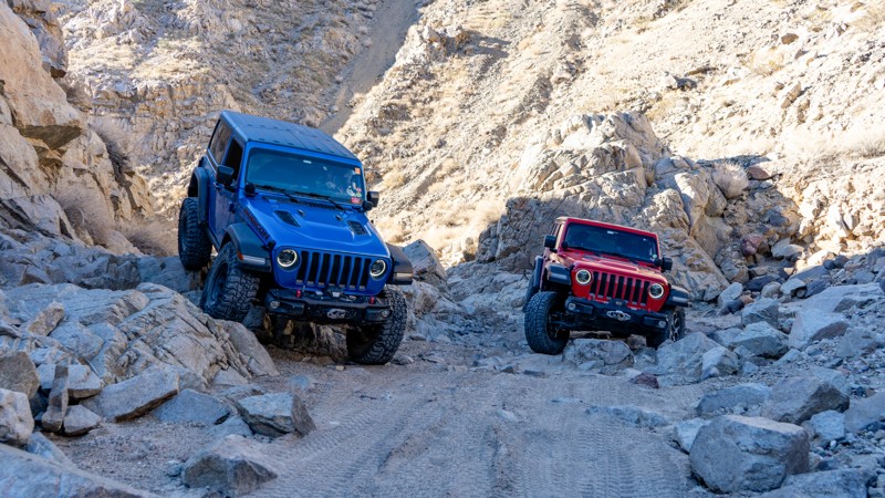
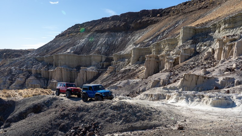
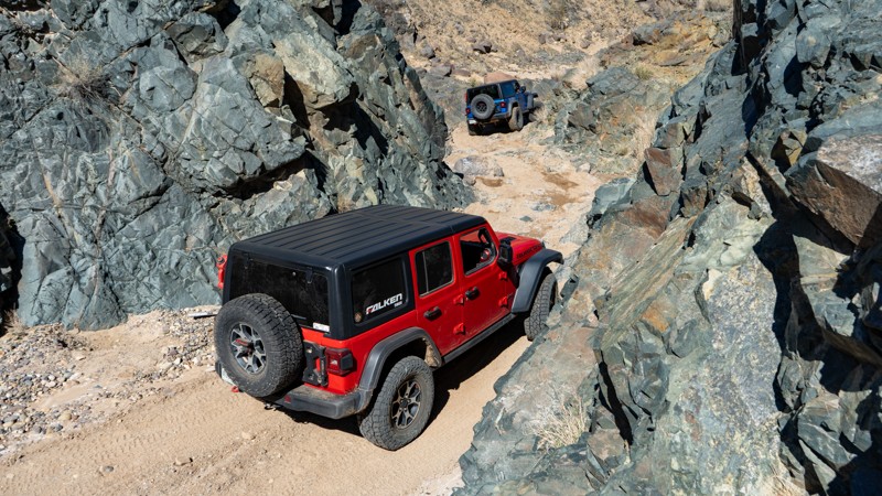
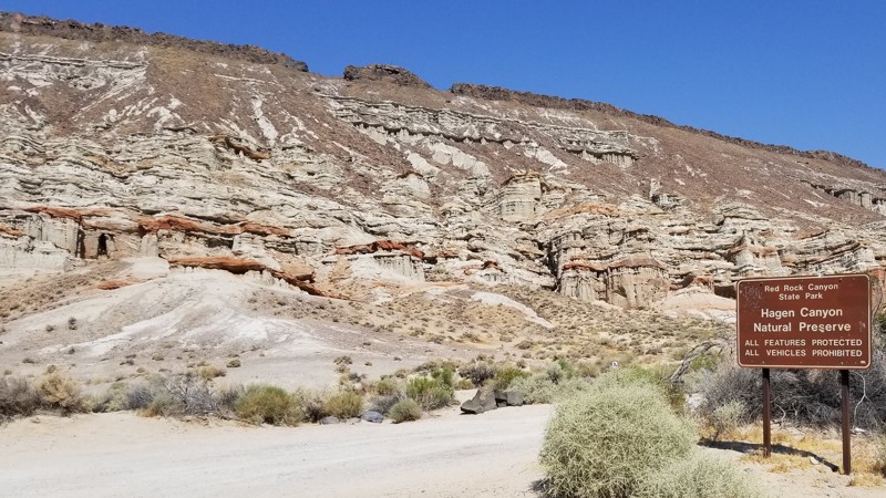
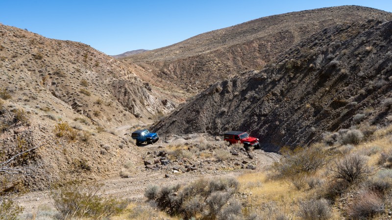
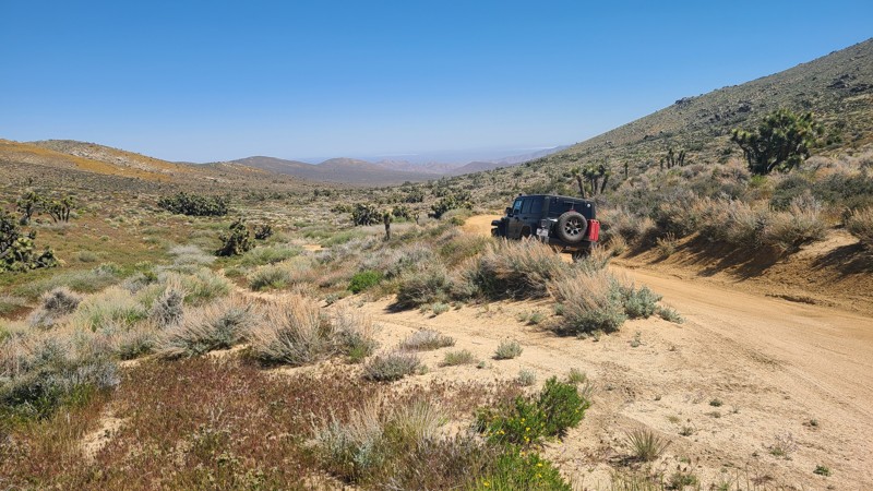
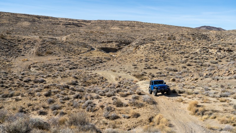
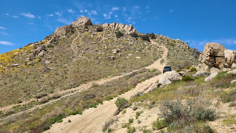
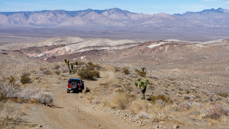
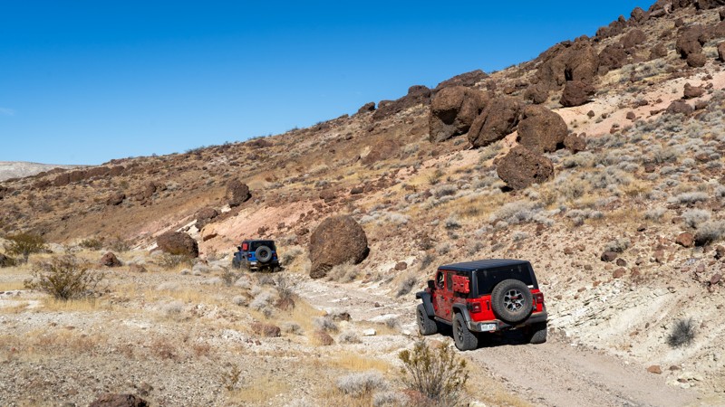
Last Chance Canyon
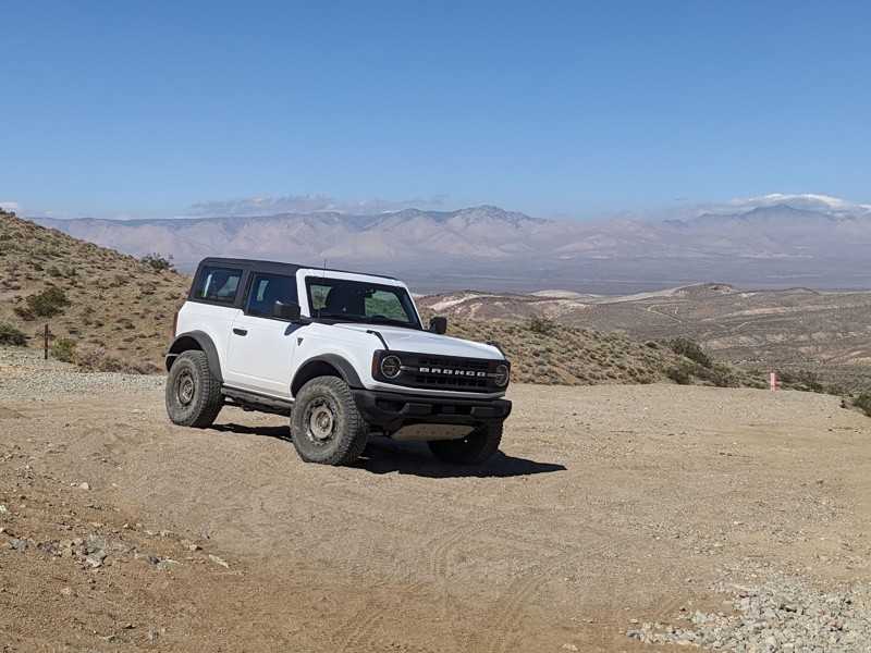
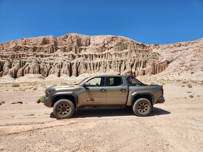
Located within Red Rock Canyon State Park, Last Chance Canyon is among the most challenging off-road trails near Ridgecrest, CA. Steep canyon walls, technical rock obstacles, and the infamous V-Notch make it a favorite among experienced rock crawlers. Beyond the driving challenge, the canyon preserves remnants of the region’s mining past, including the Dutch Cleanser Mine and other abandoned workings.
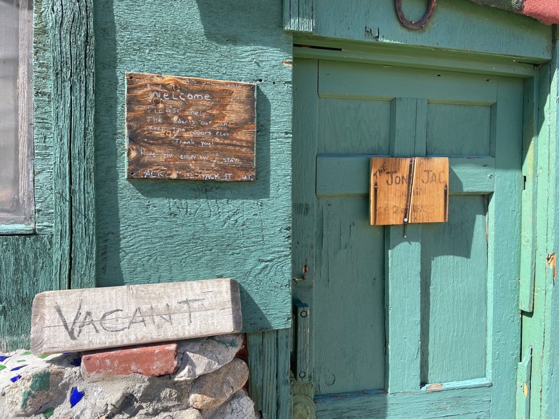
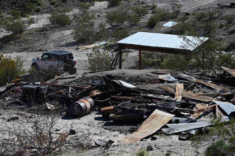
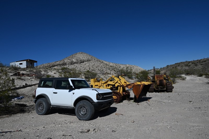
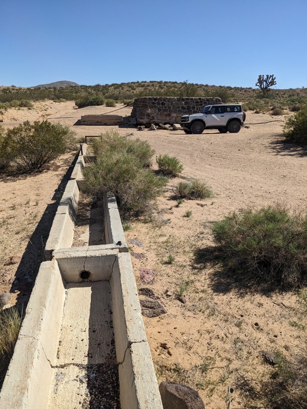
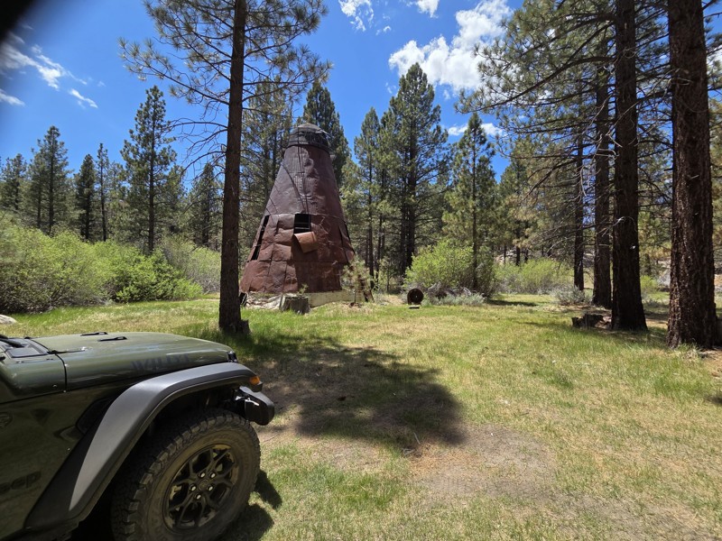
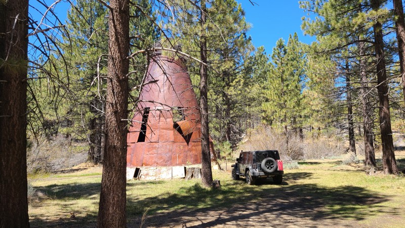
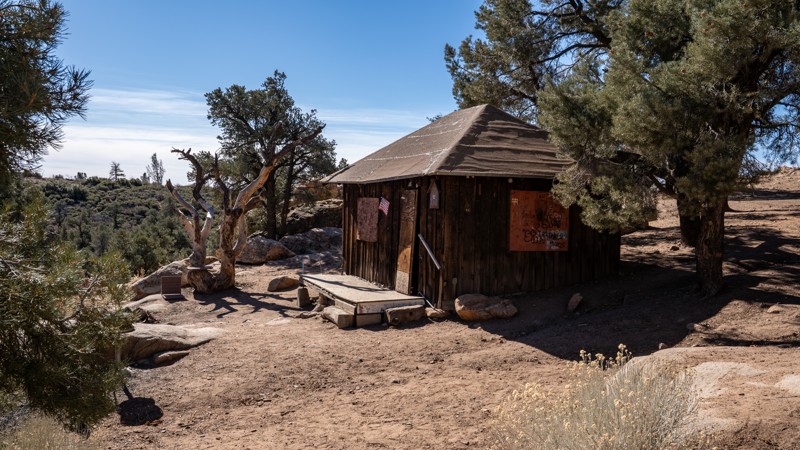
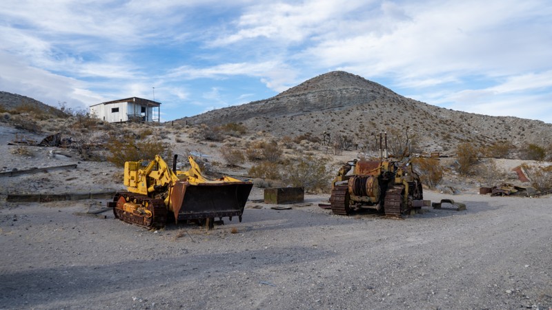
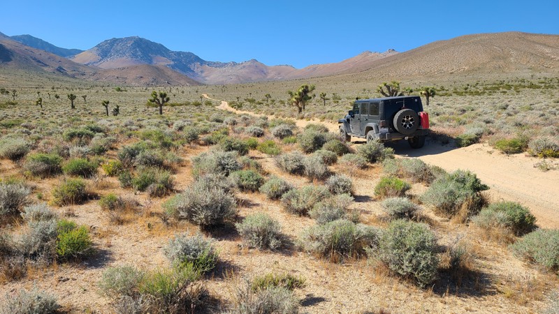
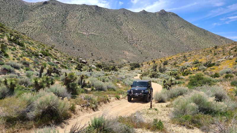
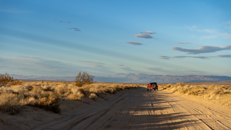
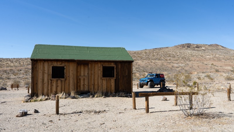
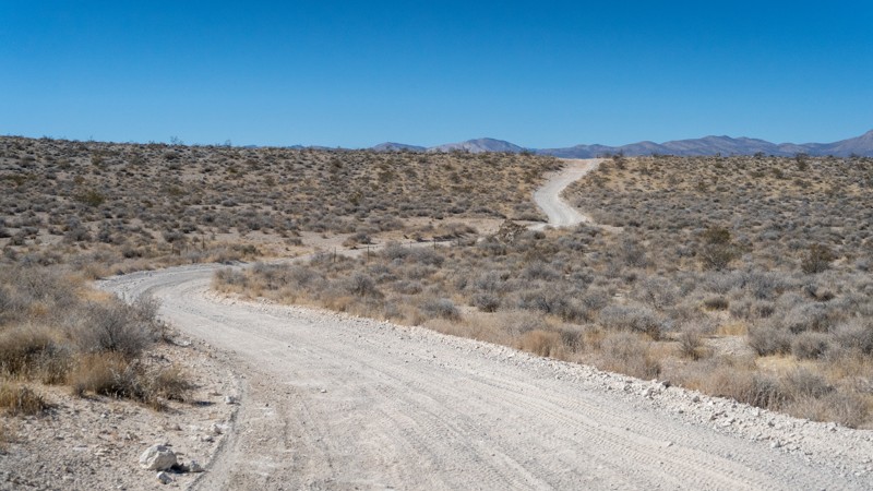
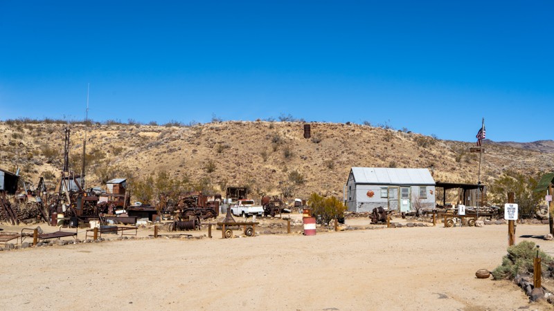
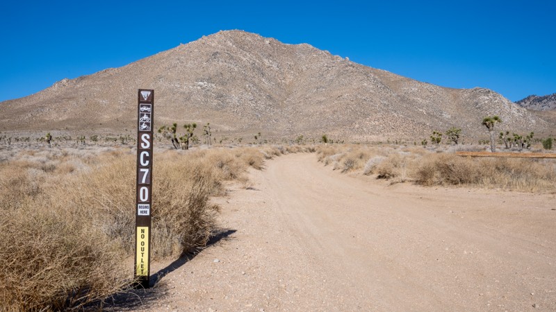
EP 30 – Bickel Camp
Bickel Camp preserves the legacy of Walt Bickel, a mechanically gifted prospector who settled in Last Chance Canyon in the 1930s. Originally from Kansas, Bickel built a self-sufficient desert camp using salvaged machine parts, rainwater collection, and ingenuity.
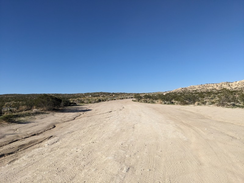
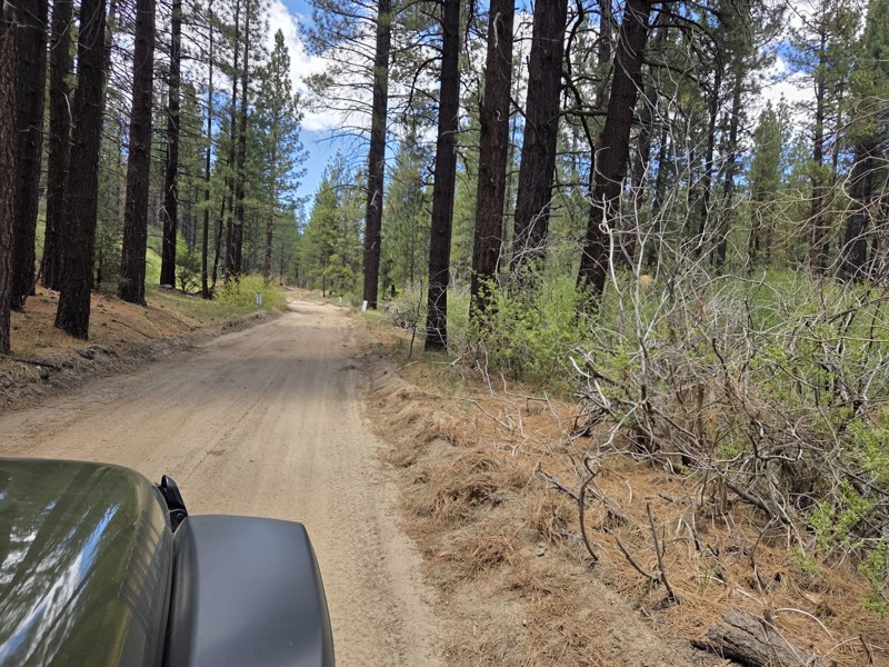
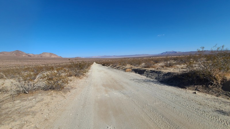
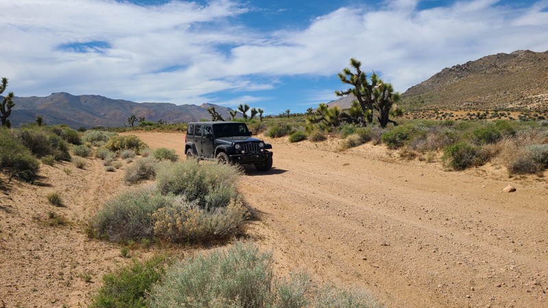
EP 30 is an easy, hard-packed sand road with occasional ruts and washboard, suitable for any high-clearance vehicle. This route leads to Bickel Camp, one of the most important living history sites in the El Paso Mountains. Dispersed camping can be found along the eastern half of EP 30, and the Camp itself features picnic tables and shade. Even if the gate is closed on the day you arrive, it is well worth stopping to view the historic oddities from outside the fence.
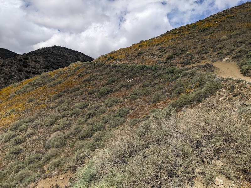
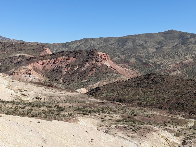
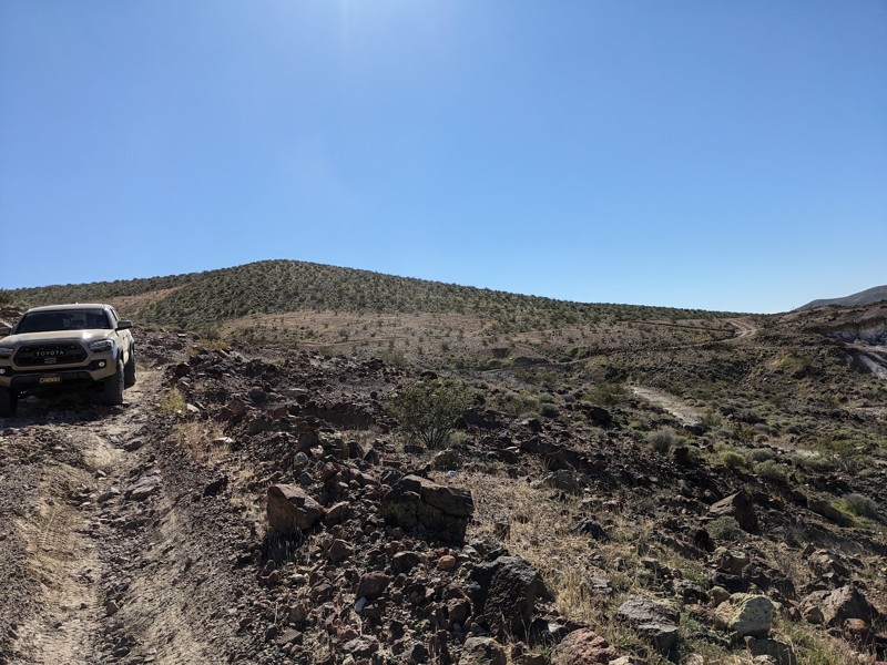
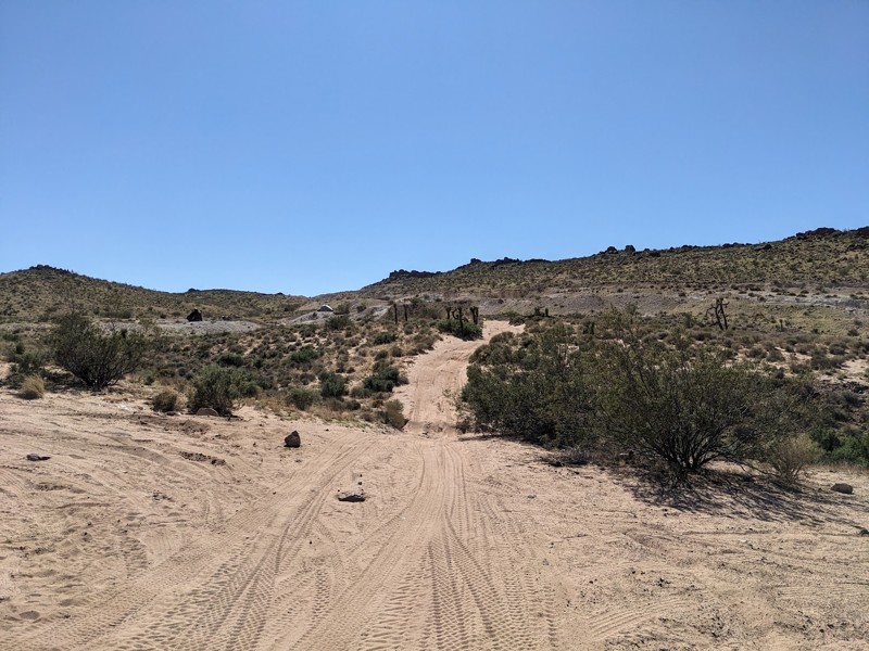
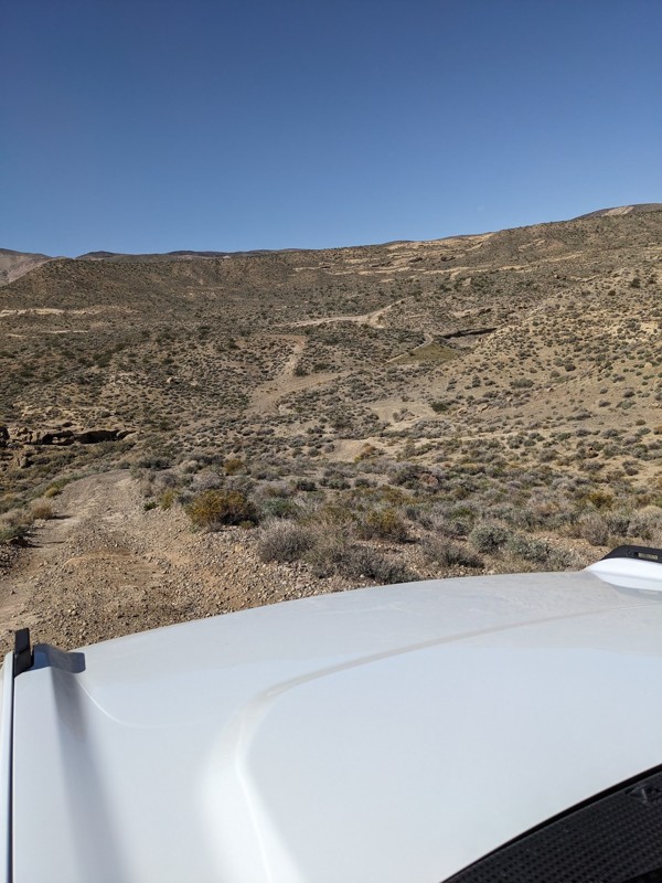
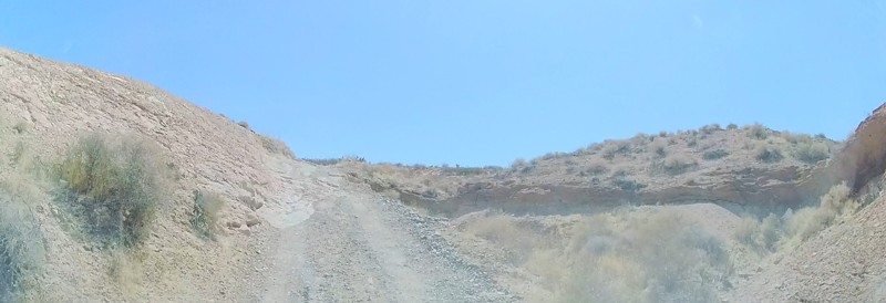
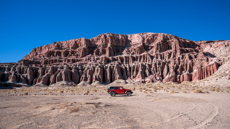
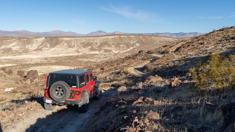
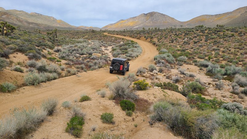
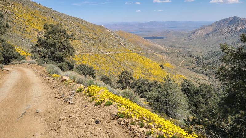
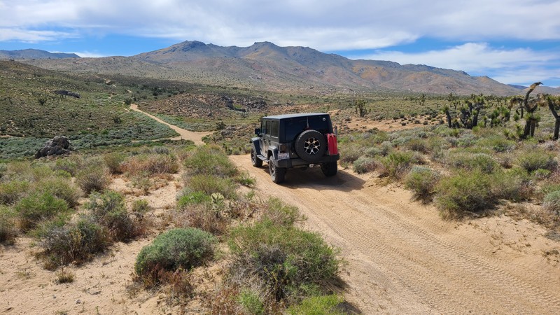
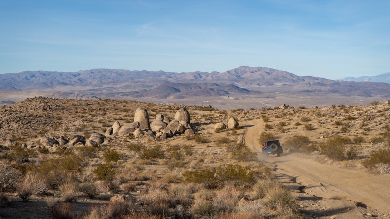
Bonanza Trail
The Bonanza Trail winds through historic mining country in the El Paso Mountains, passing abandoned tunnels, weathered cabins, and mining remnants from the late 1800s and early 1900s. A large abandoned commercial mine sits near the western end of the trail at the boundary of Red Rock Canyon State Park. Several cabins along this route were once stabilized under the BLM Adopt-A-Cabin program, adding another layer to the region’s preservation story.
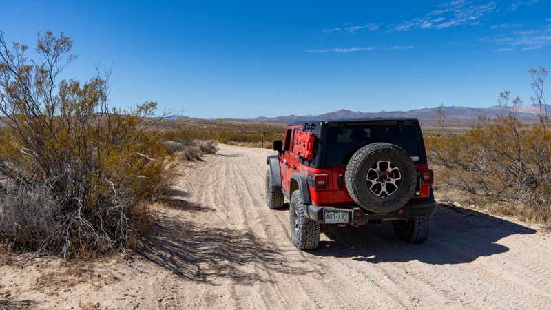
Camping & Access Notes
Dispersed camping is permitted on surrounding BLM-managed lands, including excellent pre-disturbed sites along the Bonanza Trail, EP 30, and near the Dutch Cleanser Mine while those areas remain under BLM management. Dispersed camping is not permitted within Red Rock Canyon State Park, including Last Chance Canyon.
For anyone searching for off-road trails near Ridgecrest, CA, this region offers a rare combination of capable 4WD terrain and deeply preserved desert history—where every mile tells a story.