


By clicking "ACCEPT", you agree to be the terms and conditions of each policy linked to above. You also agree to the storing of cookies on your device to facilitate the operation and functionality of our site, enhance and customize your user experience, and to analyze how our site is used.
Arkansas Off-Road Trails
56
Total Trail Guides 49

582
Detailed Waypoints 58
Try a Free 7-Day Trial and unlock it all
Start a Free Trial Most Recent Trail Reviews
No Rating
Partially Open
Visited: 09/07/2026
went in from the start point and when we got to where it was about to get fun and go up on the overlook section the government had put up signs of no road legal vehicles allowed. so it's kind of a let...

David Sirmon
No Rating
Open
Visited: 08/11/2026
Per the MVUM, the trail is seasonally open. As always, check current fire restrictions/closures before venturing out.

Trails Offroad
Official Crew
Rated 5/5
Open
Visited: 07/11/2026
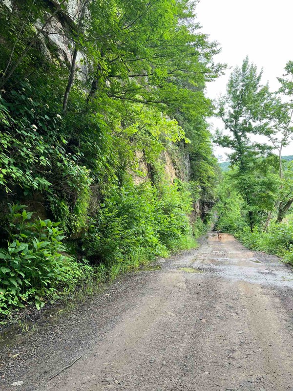
Map is pretty spot on, several different options for obstacles, does get narrow in some spots but awesome scenery
B
Brianna
Rated 5/5
Open
Visited: 06/20/2026
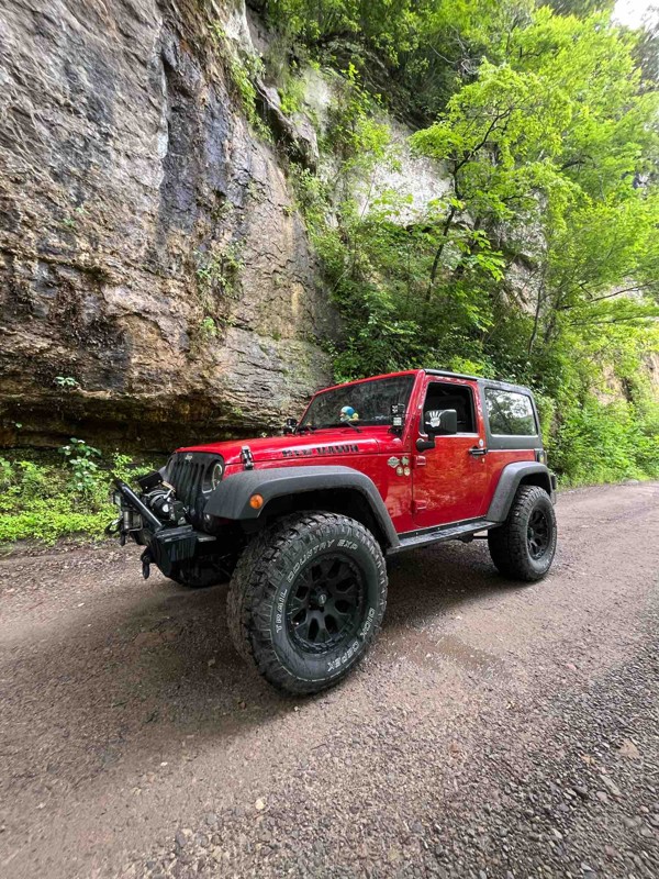
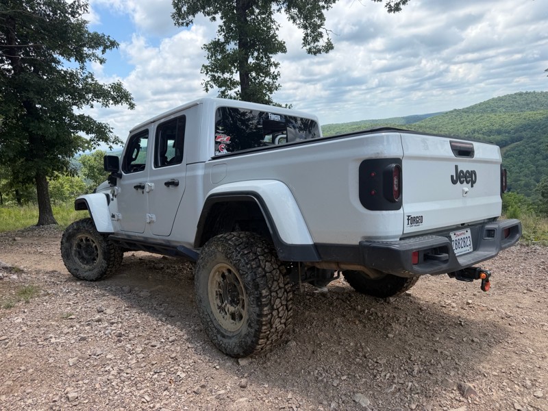
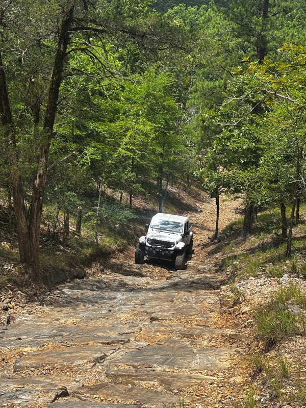
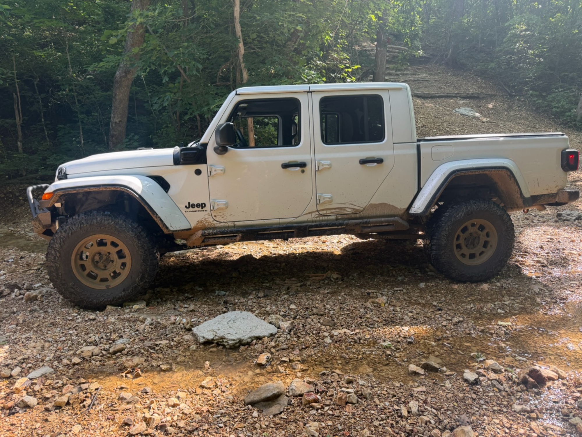
Loved it, 2025 gladiator sport s with 35’s, 2.5” Clayton long arm lift and rock jock anti rock sway bar.
Trail was just the right amount of challenge for myself and my 14 year old. I let him drive t...
Brad
No Rating
Temporary Closure
Visited: 06/14/2026
Unsure if they will open it due to the amount of downed trees. I will reach out to the ranger district and see what I can find out and will post a new review

Jason Clatt
Official Crew
Rated 5/5
Open
Visited: 06/14/2026
what a treat!! To think we have the ability to explore areas and find such amazing trails with fairytale style camping areas. I came across this spot around 10 AM and made my way back to it at 5 PM ...
Jason Clatt
Official Crew
Open
Visited: 06/13/2026
I attempted this in a stock 2026 4runner TRD Off Road. I got to waypoint 3 no problem. Just past way point 3 is a very deep and short crossing. I did not think I would be able to get through it withou...
JL
Jordan Leicht
No Rating
Partially Open
Visited: 06/13/2026
its closed to ohv at waypoint 10
BD
brian d
Rated 5/5
Open
Visited: 05/30/2026
i actually planned part of my route (135mi) to include this section simply because of the pictures and descriptions. loved it
Jason Clatt
Official Crew
Rated 5/5
Open
Visited: 05/30/2026
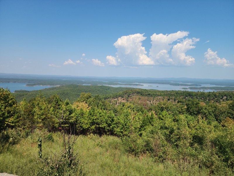
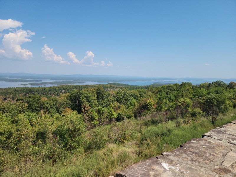
found myself on this road as a connector trail, didn"t know all the amazing camping areas nor the amazing overlook of the lake. It was a great place to stop and make lunch.
Jason Clatt
Official Crew
Rated 5/5
Open
Visited: 05/23/2026
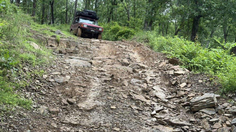
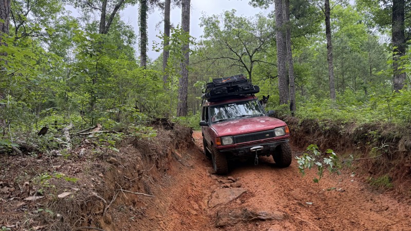
This trail presents a significant challenge, rewarding off-road enthusiasts with breathtaking views. Expect off-camber rock ledges and a notorious swamp section with numerous mud pits. The destination...
Jason Clatt
Official Crew
No Rating
Open
Visited: 05/16/2026
Trail was in great condition all the creek was dry sense no rain today but me and my friends had a blast on the trail and we will be back to finish the last part
A
Anthony
No Rating
Open
Visited: 05/09/2026
After 40 years of being in the passenger seat I am. now driving! This was day 3 of me being behind the wheel. I appreciated an easy trail!
SW
Susie White
Rated 5/5
Open
Visited: 04/26/2026
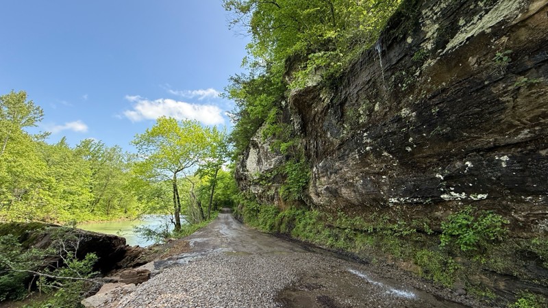
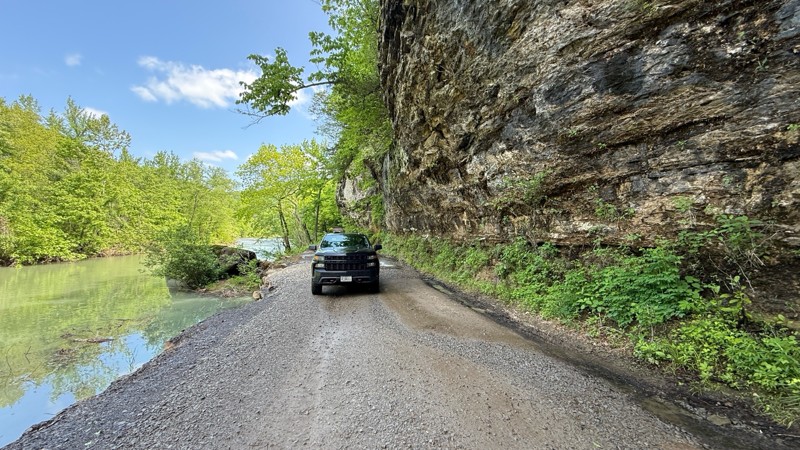
Carwash Falls was a good time today. Even though it rained quite a bit the night before, the water coming off the cliff face wasn’t crazy. The road is in great shape with some small puddles in spots. ...

Shayne Danielson
Official Crew
No Rating
Seasonal Closure
Visited: 03/31/2026
According to this trails management agency, the trail is likely closed for the season.
You can reach out to the agency for more details.
Be sure to leave us a report and let us know ...
Trails Offroad
Official Crew
Rated 4/5
Open
Visited: 03/21/2026
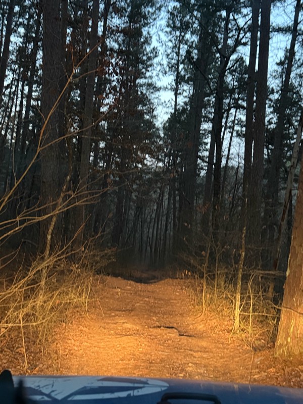
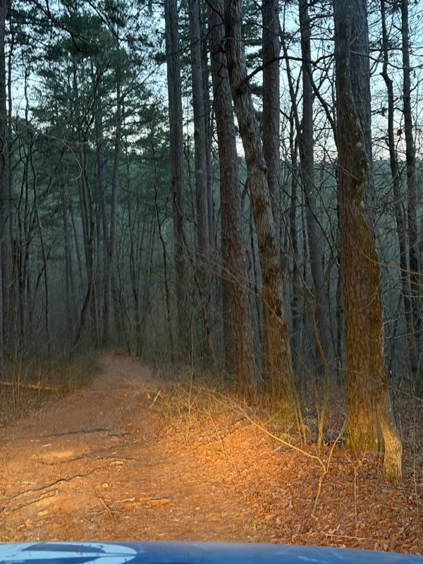
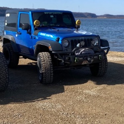
It was a fun little road, I went at dawn it dead ends into a homestead so you need to turn around. But nothing to challenging.
Shark Bait Jeep
Shark Bait Jeep
No Rating
Seasonal Closure
Visited: 03/15/2026
According to this trails management agency, the trail is likely closed for the season.
You can reach out to the agency for more details.
Be sure to leave us a report and let us know ...
Trails Offroad
Official Crew
No Rating
Seasonal Closure
Visited: 03/01/2026
According to this trails management agency, the trail is likely closed for the season.
You can reach out to the agency for more details.
Be sure to leave us a report and let us know ...
Trails Offroad
Official Crew
Rated 4/5
Open
Visited: 02/27/2026
This was a great experience. Prior to this I have run some trails in Moab and two other Badge of Honor trailes in Oregon. The loose rock and dirt made for a very different experience than those ones...
MS
Michael Shortle
No Rating
Open
Visited: 12/28/2025
When wet, this trail becomes quite the test! The ruts are a fun challenge but most can be bypassed
Kevin
No Rating
Open
Visited: 12/22/2025
tight trails and some steep slippery hills but nothing to be scared of does havea few deep creek crossing .
BD
brian d
BD
brian d
Rated 5/5
Open
Visited: 11/26/2025
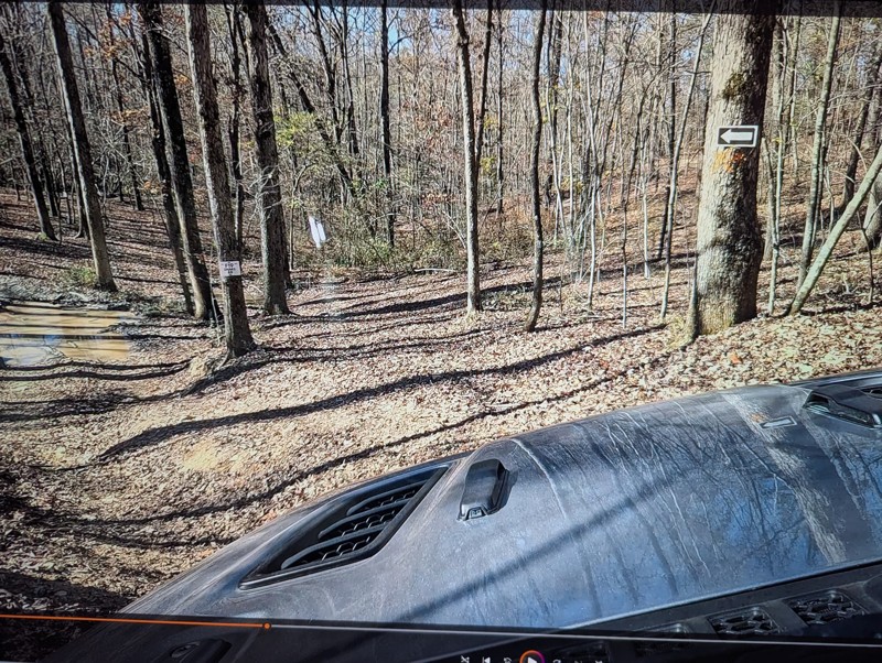
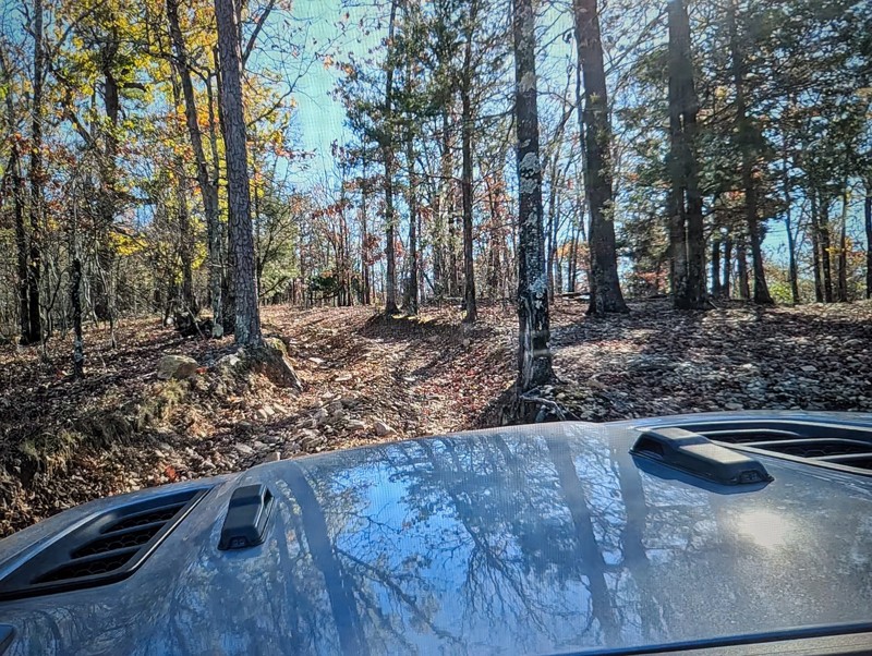
This is a very fun trail that provides a perfect warm up for the beginner to intermediate off roader. Sadly it is no longer a Jeep BOH trail but don't let that stop you from including it in your day...

Michael S Rusinko
Rated 5/5
Open
Visited: 11/26/2025
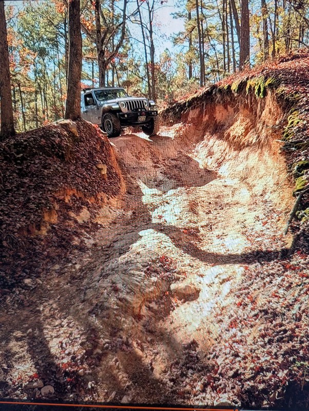
Rubicon Ridge definitely makes you earn your badge! There is no turning back after the initial drop off. You are committed for about an hours ride of awesome steep descents, climbs, and thrilling of...
Michael S Rusinko
Rated 5/5
Open
Visited: 11/26/2025
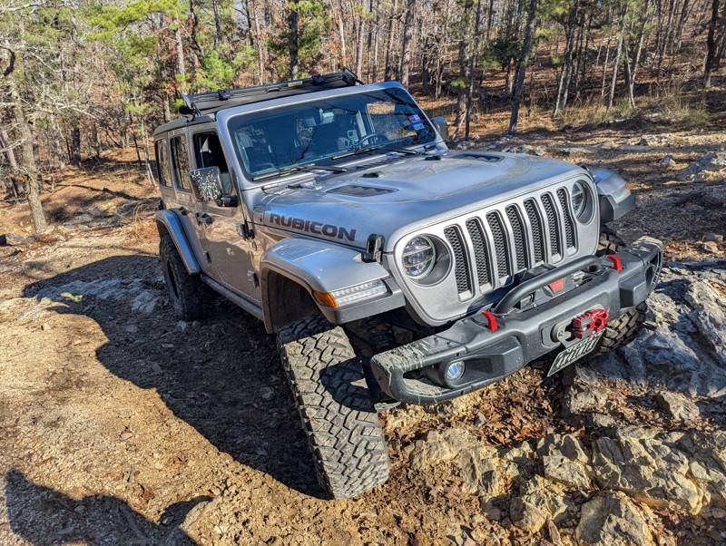
This trail is awesome! A must do trail for off any road enthusiast in the Arkansas area. We drove 8 hours and had a great time winding through the Arkansas woods earning our Jeep Badge of Honor. A ...
Michael S Rusinko
No Rating
Open
Visited: 11/08/2025
Fun trail a little spicy at the end with a stock jeep , but definitely doable .
BD
brian d
Rated 4/5
Open
Visited: 10/30/2025
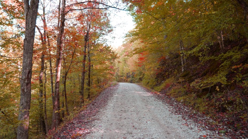
Most of the road is smooth gravel with light washboarding here and there, making it suitable for any high-clearance vehicle and most SUVs. The drive stays on the ridge for much of the route, offering ...

Brent
Official Crew
Rated 5/5
Open
Visited: 10/20/2025
I started the trail at the vista and went down. I had my offroad camper so took it nice and slow the 1st few miles through the rocky section. The trail was alot of fun and could be a nice trail to ru...


craig
No Rating
Open
Visited: 10/19/2025
Jumped on after driving Dare Mine (to loop back to highway). Little more exciting than Dare Mine - more stream-type crossings (although many were dry). More active trail. Saw a number of campers. Stil...
JD
Jon Dickinson
No Rating
Open
Visited: 10/19/2025
Sunny day. About 20 hours after rain storm. Trail essentially dry (but not dusty). Aired down to 25 PSI. Easy trail with some minor (but fun) stream crossings. Occasional rocks less than 3" but some u...
JD
Jon Dickinson
Rated 5/5
Open
Visited: 10/19/2025
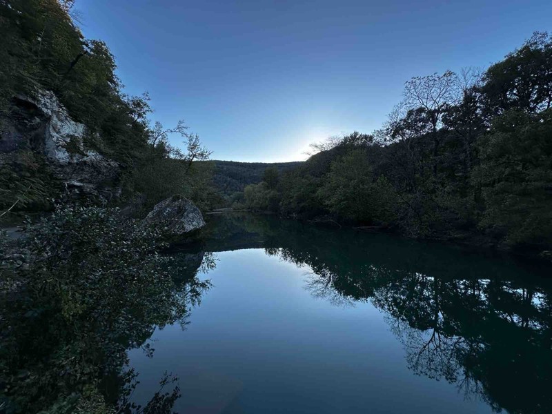
Loved this trail! The views are worth the drive alone. Trail itself was not very difficult but I’m sure with enough rainfall there could be concern in a few spots.

RS
Ryan Safarik
Rated 4/5
Open
Visited: 10/12/2025
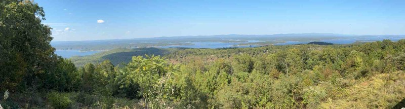
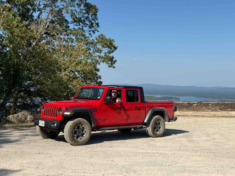
My first off-road in my 2023 Gladiator. It was fun but a little more intense than my wife wanted😜. It was a great first experience…
BT
Brad Teague
Rated 4/5
Open
Visited: 10/07/2025
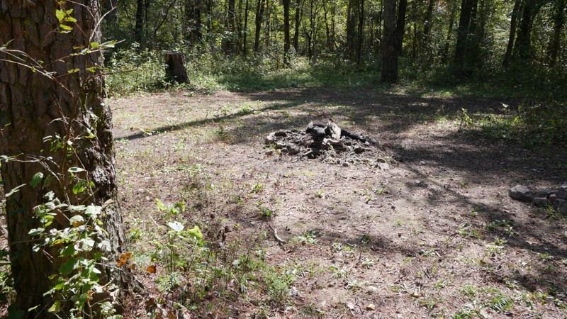
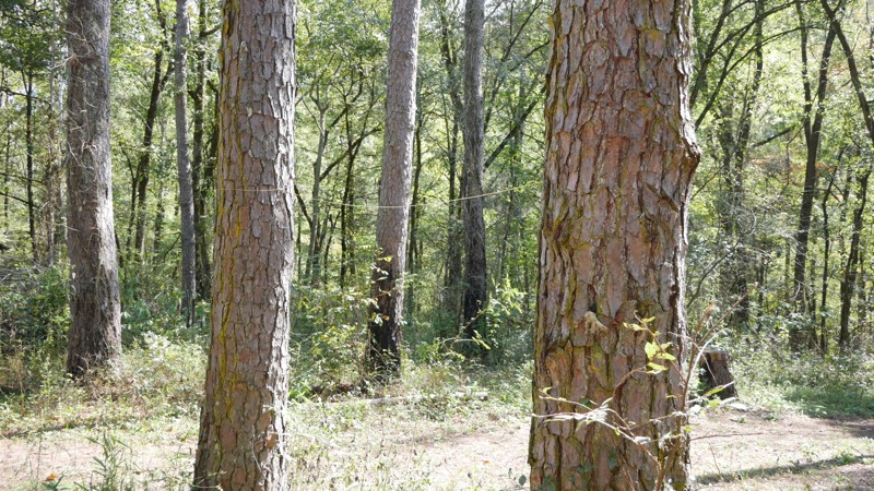
The drive begins on a broad gravel surface that gradually narrows as you move deeper into the forest. Expect moderate washboarding through the midsection, especially after dry spells or heavy traffic....
Brent
Official Crew
Rated 3/5
Open
Visited: 10/07/2025
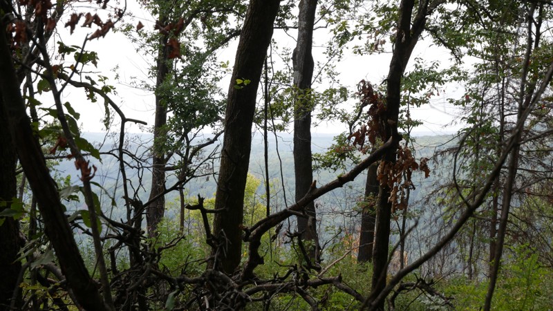
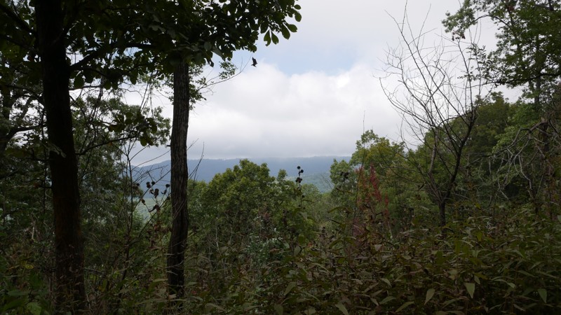
The road begins as a well-graded gravel surface and gradually narrows as it ascends into higher elevations. Expect mild washboarding and occasional rocky patches, especially after rainfall. While the ...
Brent
Official Crew
Rated 5/5
Open
Visited: 10/07/2025
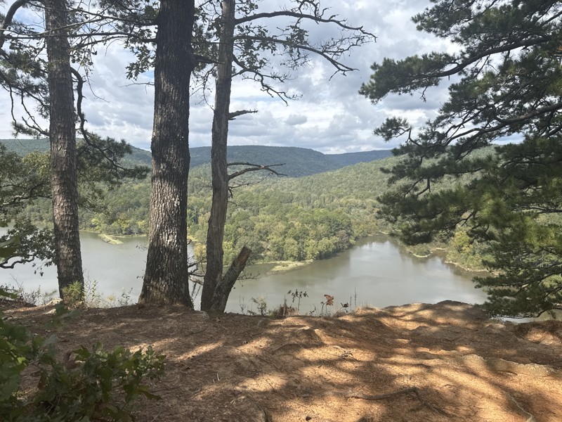
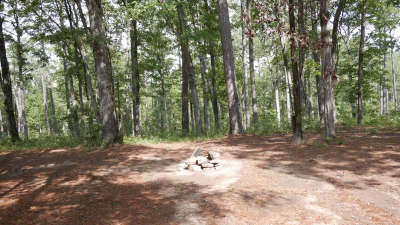
Shores Lake Road (Forest Service Road 1501) winds through some of the most scenic terrain in the Ozark National Forest, connecting Highway 215 near Shores Lake Recreation Area to the upper forest rout...
Brent
Official Crew
Rated 5/5
Open
Visited: 10/06/2025
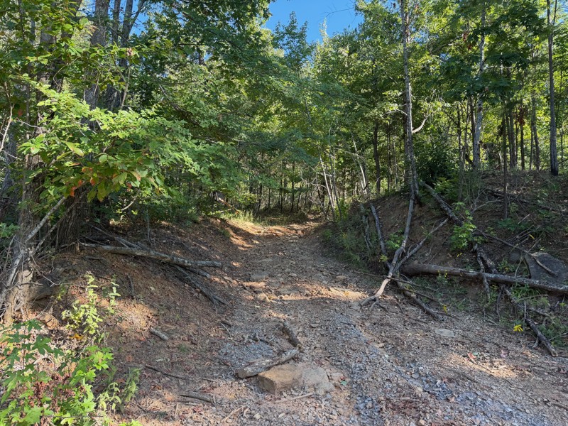
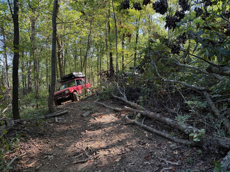
This trail has large rocks that will likely require a spotter. The trails are very narrow, covered in tree limbs, with logs that you must go over as well as downed trees that you must go around via al...
Jason Clatt
Official Crew
Rated 4/5
Open
Visited: 08/03/2025
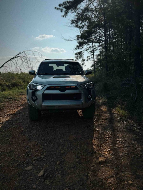
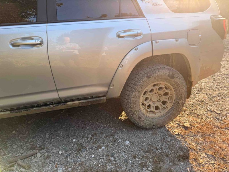
Very fun trail but took well over 3 hours because it was so narrow with most places very overgrown with trees. I have major pin stripping because of it. Spent most of the day in 4 low. Creeks were dr...
JP
J Parker
Rated 5/5
Open
Visited: 07/14/2025
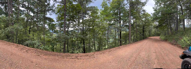
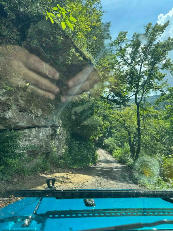
Great trail! No 4x4 needed. The creek was around 12-14 inches deep. Great views from this trail! I highly recommend for a beginner.
HC
Holly Cobb
Rated 5/5
Open
Visited: 07/10/2025
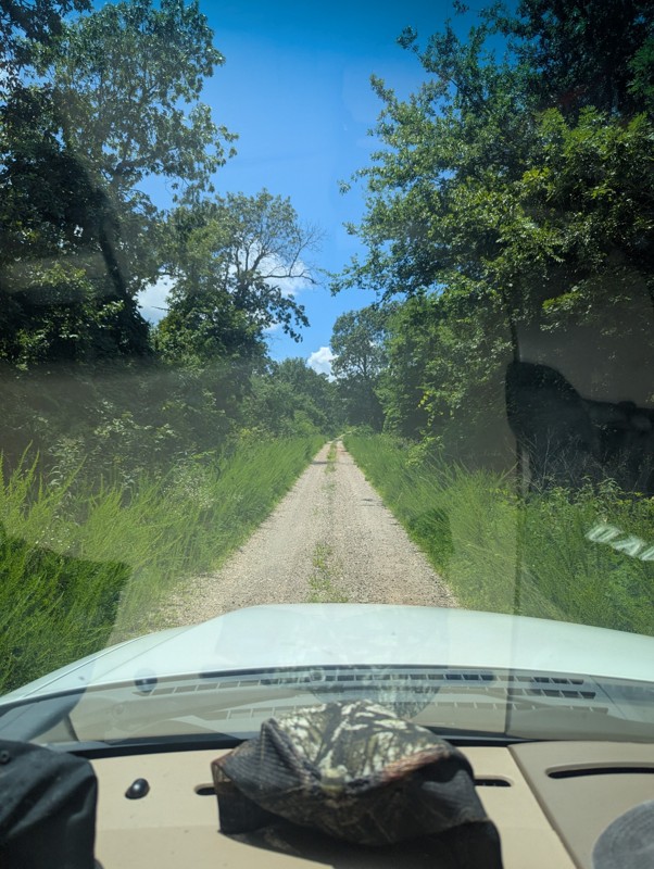
Drove today, was great and clear. Had a few muddy/wet spots near some of the overlook locations. Be aware of full road dip somewhere around mile 24!

Joseph M.
No Rating
Open
Visited: 07/05/2025
Drove this today. Everything was good but everyone should be aware to the giant full road dip at around mile 24.
JP
J Parker

Todd
Official Crew
GW
Gracey Williams
No Rating
Open
Visited: 06/14/2025
Lived up to its name. Steep and slick
JB
Jim Baker
Open
Visited: 06/14/2025
Great trail, went through with a stock Gladiator in 33s. Only dinged the rock sliders pretty good. I dinged my rock sliders on 35s with 2.5in lift in a JKU. My wife didn't like it at all. lol
JB
Jim Baker
Rated 2/5
Open
Visited: 05/24/2025
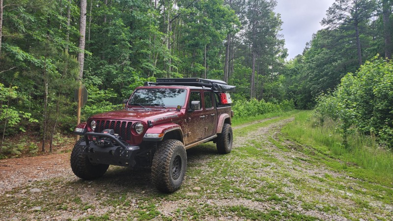
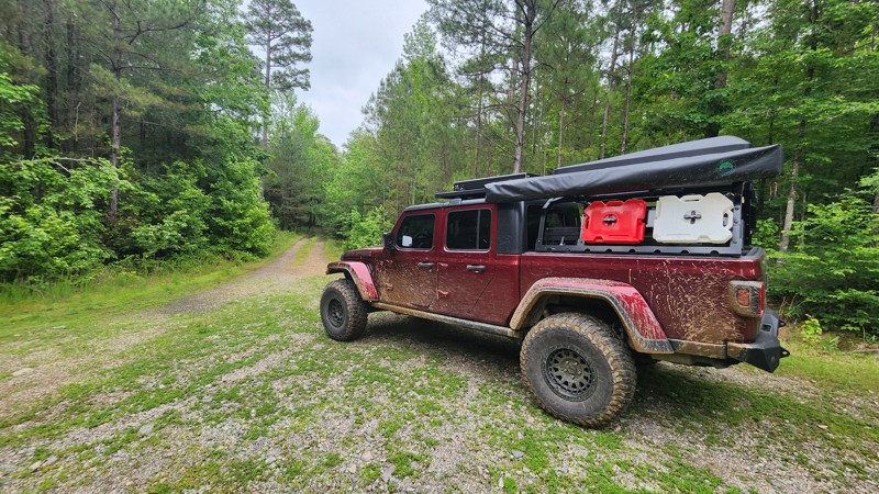
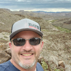
This trail is surrounded by dense tree cover, providing plenty of shade and a secluded feel, especially in the summer months. While the foliage limits long-range views, it adds to the immersive forest...
Tony Cress
Official Crew
Rated 4/5
Open
Visited: 05/24/2025
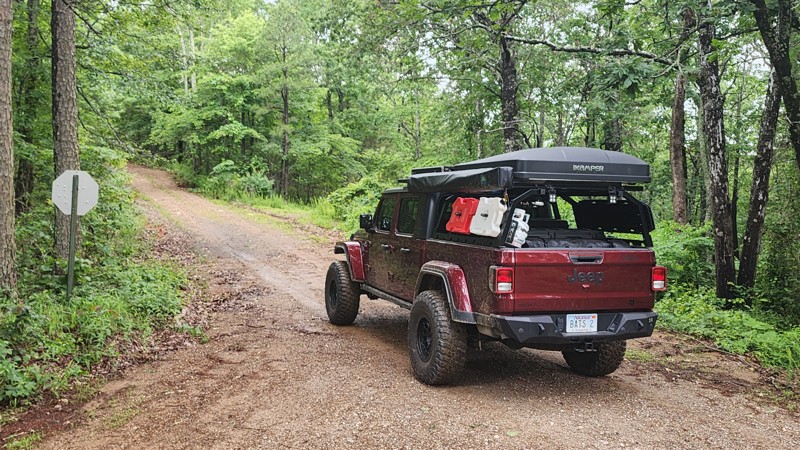
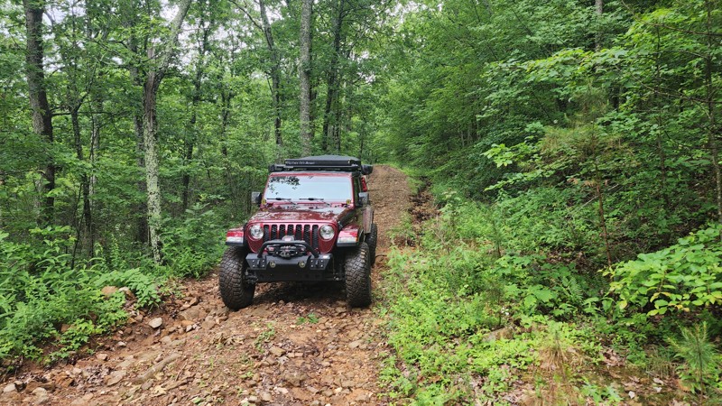
Beautiful scenic drive. Typically, 2 wheel drive vehicles with high clearance is all that would be needed. Depending on rainfall amounts, 4x4 could be required.
Tony Cress
Official Crew
Rated 3/5
Open
Visited: 05/24/2025
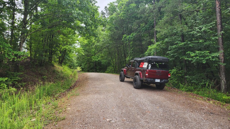
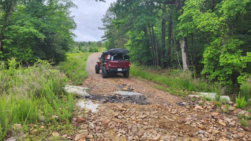
Very peaceful and scenic drive, I saw turkeys and deer along this trail. There is one spot where the culverts have been uncovered by recent heavy rainfall. I suspect this will be repaired quickly. Eit...
Tony Cress
Official Crew
Most Popular
Updated: 05/08/2024
Main Road 2 - Hot Springs ORV Park
Hot Springs, Arkansas
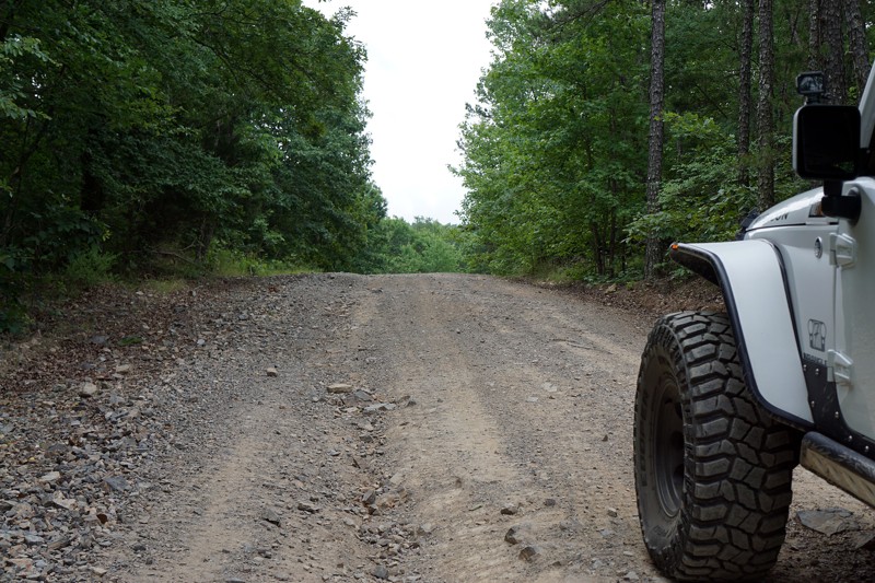
Main Road 2 near Hot Springs, Arkansas is one of the most used roads in Hot Springs ORV Park. There is a lot going on close to the Trailhead; a cabin to rent, the office/store, the front entrance to the pavilion, and the bathrooms/showers are all within 100 yards of each other. The pavilion is a great place to come off the trails, enjoy some shade, and eat your lunch. If you didn't pack enough to eat or drink you can find something to sustain you in the store. Main Road 2 is also the quickest way to get to Main Road 5, which has some of the highest elevations and best views of the Ouachita Mountains in the Park.

Updated: 10/15/2024
Wooten Road
Tag, Arkansas
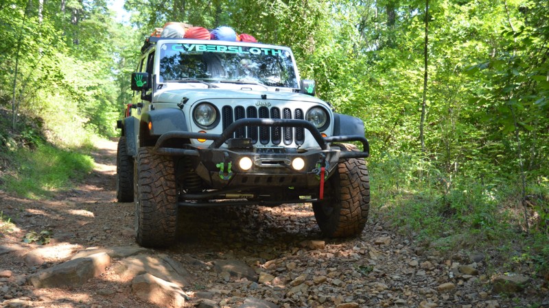
Wooten Road starts just off Highway 7 north of Dover, Arkansas. It is a nice forest road with many mud puddles (even in August). It also has few small off camber spots, and a bit of pin striping. No camping was noted.
Updated: 01/17/2023
4x4 Rock Hop G19 - Hot Springs ORV Park
Hot Springs National Park, Arkansas
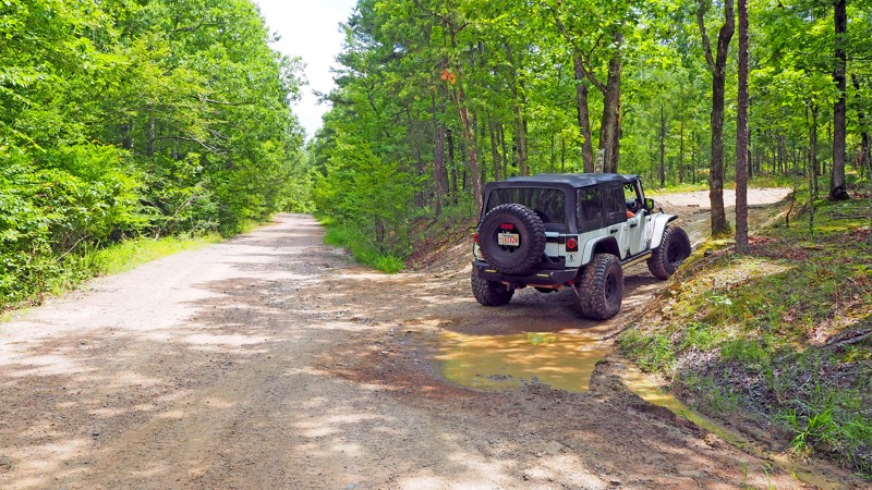
4x4 Rock Hop G19 is another great connector trail at Hot Springs ORV Park to get out of the sun and enjoy some shade. Grab a seat at the covered picnic table, relax, and recharge before continuing on to the excitement awaiting on Fun Run G3, one of Jeep's "Badge of Honor" trails. The "Kids Zone" at Waypoint 3 is a great place to let the younger ones enjoy some time on their four-whee
About Hot Springs ORV Park:
Originally established in March of 2002 as Superlift Off-Road Vehicle Park, Hot Springs Off-Road Vehicle Park is considered an off-road Mecca by many. The trails are well marked and rated from one to five diamonds (one being the easiest, five being the hardest.) According to HSORV Park's own trail map, a five-diamond trail is described as "These are the "real deal" obstacles for the hard-core off-roader. Go with at least 36" tires and all the other truck stuff. Mechanical and body damage is the norm. These trails require a co-driver/spotter and the driver's undivided attention. Bring a camera and a clean change of underwear." The Park's trail map is located here: Hot Springs ORV Park Trail Map and is a great reference for trail rating, rules, and regulations. You will also see on the map there are trails that are intended for motorcycles and/or SxS's/ATV's/UTV's only (no SUV's allowed.) If you are traveling from afar, plan on staying a while. You can wheel on the trails for days and not even make it to half of them. Anyone from beginner to expert can come and get their money's worth out of several days of trail riding or extreme rock crawling. After a day on the trail, you can shower up at the Park and head downtown to enjoy what Hot Springs has to offer. HSORV Park is only 5 miles from downtown Hot Springs. The city itself is a huge tourist attraction. From the beautiful scenic views atop Hot Springs Mountain Tower, a fun and refreshing day at Magic Springs Theme and Water Park, or enjoying the history of the city in the downtown spas or Gangster Museum of America, there is something for the whole family. Oaklawn is close by if you like to wager on horses or play some electronic gaming such as poker or blackjack. You could easily stay a week and not take it all in.lers or SxS's, as no big rigs are allowed in their loop.
Updated: 06/05/2022
Twin Hills East A15 to A23 - Hot Springs ORV Park
Hot Springs, Arkansas
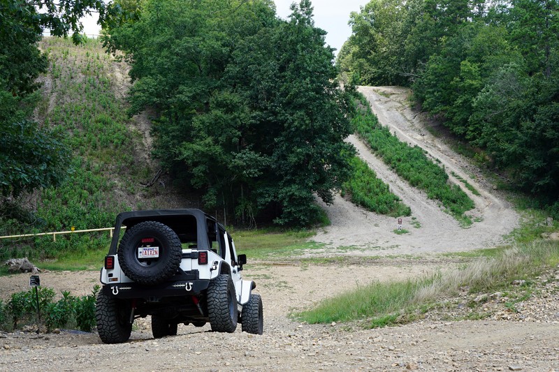
If you want to start the day off with a rush of adrenaline and a sense of accomplishment, Twin Hills East will give you that and more. Experience, a built rig, and a lack of self preservation are all highly recommended. Seriously though, taking the harder obstacles requires close attention, and a seasoned spotter is highly recommended. You can easily roll a vehicle here, and a flop would most likely result in tumbling to the bottom of the trail. Be sure and forewarn passengers it will be very steep and off camber. Optional gear would include a change of clothes and a blindfold. The view of Squid's Jaunt from the top of Twin Hills East is at its peak during the green months, as the contrast between the green foliage and dusty trails is very pleasing.
Updated: 06/05/2022
Crystal Mountain
Jessieville, Arkansas
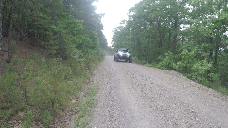
Crystal Mountain or Forest Road 75 is an excellent way to travel from Alum Fork to Winona Forest Drive/132, which is a large part of the increasingly popular Winona Auto Tour Trail. Crystal Mountain will take you north or south depending on your preferred destination. This will save a lot of time since it connects the two roads closer to the middle resolving the issue of having to travel all the way around. If the goal is to be time efficient, this is the road to take.
Updated: 07/15/2023
29000
Jessieville, Arkansas
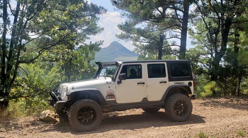
It's no secret that the Ouachita National Forest is one of the best free playgrounds for offroaders in the natural state. Forest Road 29000 is no exception. There's nothing better than hitting a dirt road and smelling the fresh mountain air! Not only does 29000 offer the dirt road and the fresh mountain air. It also harbors a stunning view of Forked Mountain and the rolling hills of the Ouachita National Forest. So don't forget to bring your camera because you're not going to want to miss this incredible photo opportunity!
Updated: 01/17/2023
Bilstein Ravine B19 - Hot Springs ORV Park
Hot Springs National Park, Arkansas
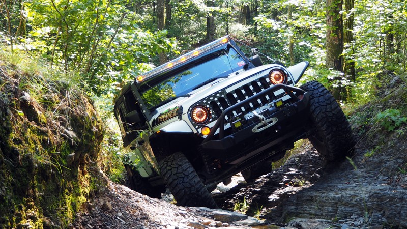
Recommended for all creekbed junkies and those that like to show their flex! The v-notch is the highlight of the trail, and you are in it right at the start. Grab the wheel, pick your line, and have a great time showing off your rig's abilities. Once you pass the v-notch, you can take a breath and enjoy the rest of the trail as you navigate the creek bed and take in the sights and sounds of the forest.
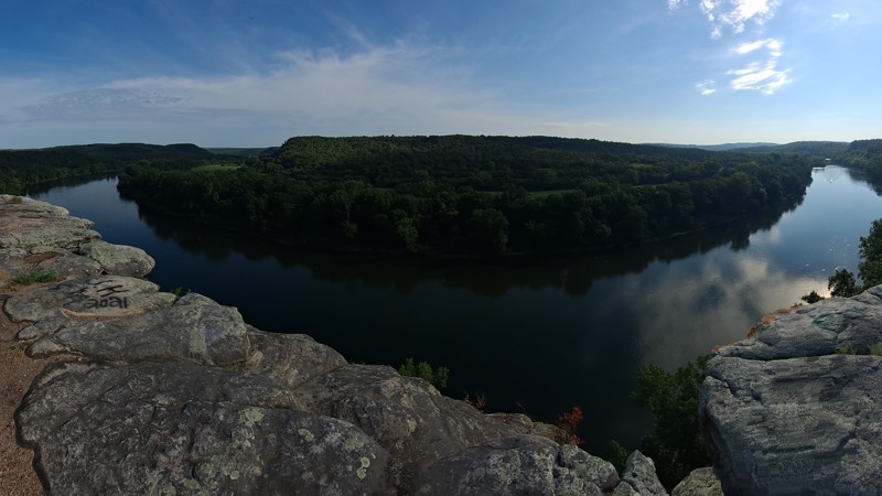
Updated: 10/15/2024
Culp Road
Calico Rock, Arkansas
Nestled in the Ozark National Forest, between Sylamore and Calico Rock, Arkansas, just off Highway 5, is Culp Road, an easy trek to City Rock Bluff and Historic Culp. This area was settled in the 1800s by Thomas Culp. City Rock Bluff was one of his points of trade and is preserved by the Ozark National Forest and Stone County Historical Society. It is an easy two-wheel drive with a spectacular view of the White River from the bluff. This short out-and-back trip is just a little over three miles and well worth the time if you are in the area.
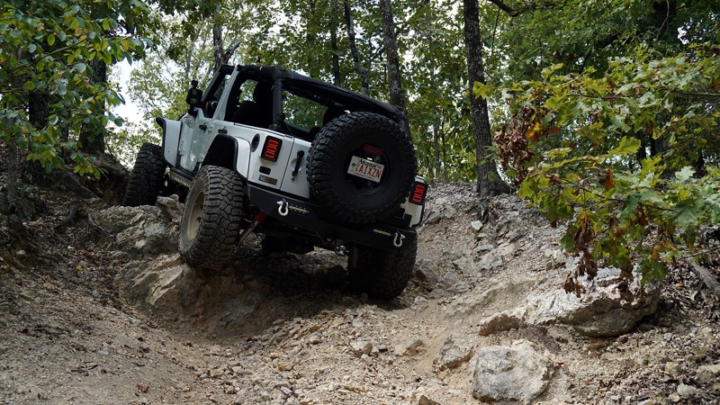
Updated: 06/05/2022
Sesame Street C3 - Hot Springs ORV Park
Hot Springs, Arkansas
Sesame Street is a very short, 5-diamond (the highest rating at HSORV) trail that will challenge you and your rig. It is one of the easier 5-diamond trails at the Park, but don't let your guard down. It is worth running Power Wagon Point to get to it, and is challenging enough to become one of your "go to" trails. It is also a great spot to test suspension or bumpstop changes.
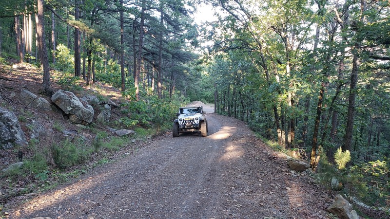
Updated: 06/05/2022
Fairchild
Jessieville, Arkansas
Fairchild or Forest Road 135 is a 2.7 mile short cut from Alum Fork/114 to Lake Winona Drive/132, which is a part of the increasingly popular Winona Auto Tour Trail. Fairchild offers a short mud bog, a couple of dispersed camping spots and 1/2 mile of a fairly steep incline with some mildly sharp switchbacks before arriving close to the top of Crystal Mountain. Whether time is of the essence or you're just exploring the beautiful Ouachita National Forest this is an ideal road to travel. Because of the short mud bog, only high clearance vehicles are recommended.
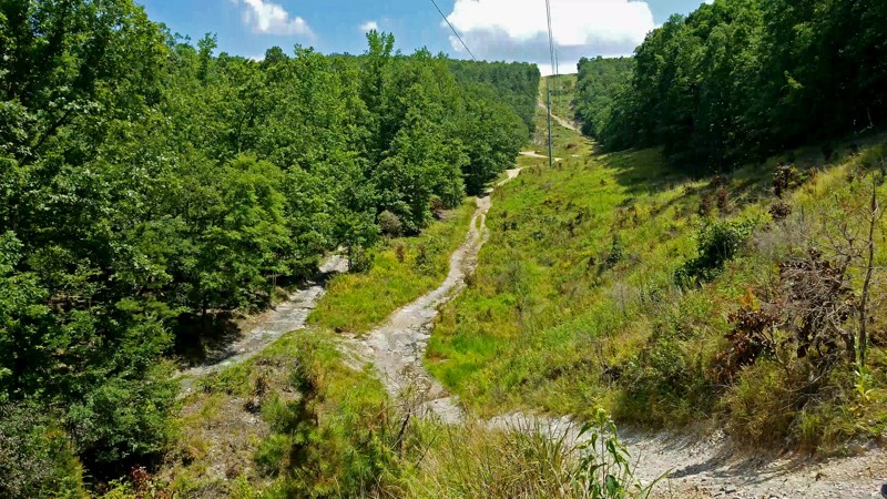
Updated: 05/08/2024
Samurai Way B13 to B28 - Hot Springs ORV Park
Hot Springs National Park, Arkansas
What a beautiful way to enjoy the day at Hot Springs ORV Park! Samurai Way is slightly less than a half-mile long, but packs in something most everyone can enjoy. There are beautiful views down the power line, exciting ascents and descents, some mild off-camber sections, and even a water/mud hole and a small creek crossing along the way. This is a great trail to introduce a new off-road driver to, and even a seasoned veteran will enjoy the open-air scenery.
Updated: 05/14/2025
Twin Knobs
Savoy, Arkansas
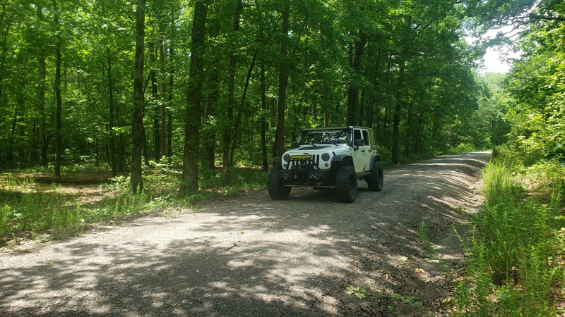
A smooth graded dirt road with patches of gravel and occasional potholes. Suitable for low clearance 2 wheel drive cars. This area of the Ozark National Forest has very little in the way of dispersed campsites, however there is one nice large campsite on this road capable of housing a group of 5 to 10 rigs.
Updated: 06/05/2022
Reform Point
Perryville, Arkansas
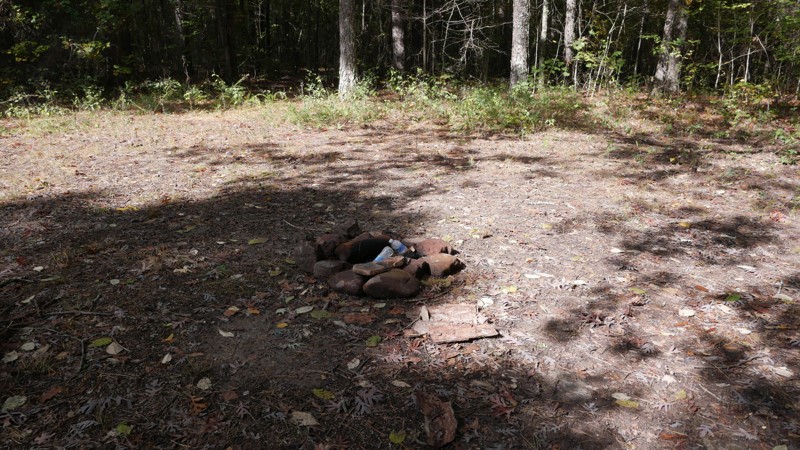
Reform Point is a 1.34 mile all gravel forest road that can be traveled either way and connects Lake Winona Road and Reform Road/FR179. There are several reasons to make the short trek down Reform Point/FR715. 1: It provides a bypass for the tough section of Reform Road/FR179 for vehicles not up to the challenge. 2: It provides a short cut from Reform Road/FR179 back to Lake Winona Road. 3: It provides a straight-through pass from Lake Winona Road to Lake Winona Drive/FR132. 4: It has a dispersed camping area with plenty of shade and a rock fire pit.
Updated: 10/15/2024
Charleston Road
Austin, Arkansas
Set in the Ozark-Saint Francis National Forest, Charleston Road begins shortly after you cross a levee. You can see the established camping area overlooking the small lake from the levee. As soon as you turn onto this road, you can drive up into the camp area to set up for your rides. There is an area large enough for a group to camp. There are several driving trails as well as walking trails a short distance from the camp area.
Updated: 10/15/2024
Forest Road 1652
Ben Hur, Arkansas
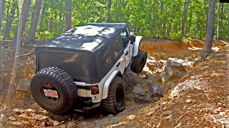
Morris Ridge, Forestry Road 1652, part of the Ozark St Francis National Forest, connects with Pope County Road 1008 and Arkansas Highway 16. Morris Ridge is a rough dirt, through road, with plenty of spots for camping and wandering in the woods. It appears to be a local hunting spot, so check seasons, use caution, and wear orange if you intend to explore out of your vehicle. The road has washed out and rocky areas. Expect some off-camber. Morris Ridge Road is just a few miles from Pedestal Rocks and Kings Bluff hiking trails if you are also looking for a scenic hike.
Updated: 01/17/2023
Michael’s Way D5 - Hot Springs ORV Park
Hot Springs National Park, Arkansas
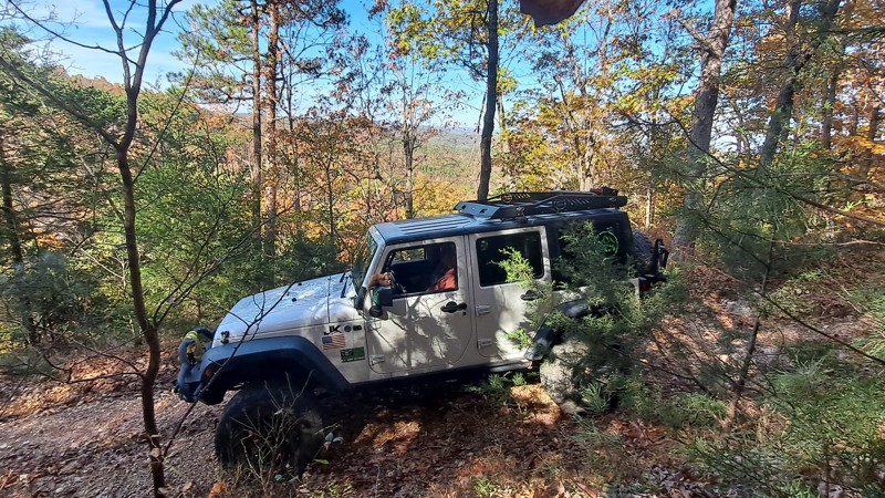
Adrenaline junkies only need apply! Michael's Way is all about the rocks, and big ones they are. The first set is just a teaser of what's to come. If tire lifting, bumper dragging, and spinning tires are your idea of fun this trail is the place for you. It is a short split in the trail at Waypoint 5 of Rubicon Ridge D1, but if you make it through it may be the most memorable.
Updated: 10/15/2024
Mountain Ridge Road
Advance, Arkansas
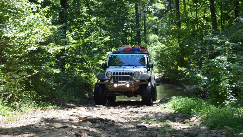
Mountain Ridge Road connects to County Road 72 and Forestry Road 1116 in Big Flat, Arkansas. The valley views from Mountain Ridge are inspiring. There is a beautiful area to pull off and camp or just hike and explore the bluffs. The road doesn't appear to be traveled often but is also used for horseback riding, so be alert. There are several off-camber areas, ruts, and rocks. Sway bar disconnects are recommended.
Updated: 10/15/2024
93054
Tag, Arkansas
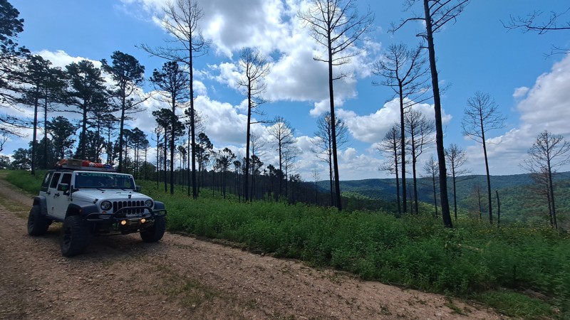
This short trail is for those who like to get muddy and enjoy a couple of creek crossings. It has a few Toyo sticking holes to test your new winch rope. Just watch out! Some of the holes are very deep.
Updated: 10/15/2024
FR 1139
Optimus, Arkansas
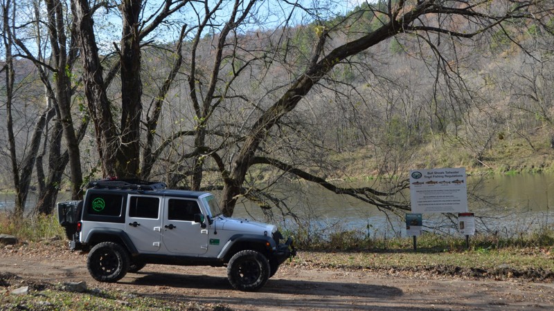
FR 1139 is an easy scenic road in the Ozark National Forest. The trail is a mix of evergreen and hardwood forests. You could see many types of wildlife, from deer to small black bears, in this area. It is not a technical drive and would be awesome for a nice leisurely jaunt through the forest. This road would be especially beautiful in the fall and winter months.
Updated: 10/15/2024
County Road 114
Advance, Arkansas
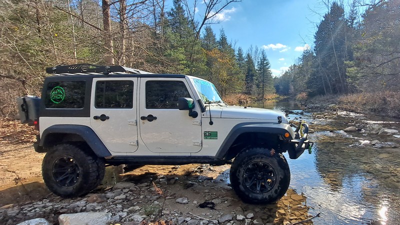
Baxter County Road 114 in Arkansas is a picturesque out-and-back road that ends at the Cartney Access to the White River, a great trout fishing spot with a rustic camp area. CR 114 crosses two spectacular creeks and passes breathtaking bluffs. It also connects with several other scenic county and forest roads. CR 114 is an easy gravel road suitable for all vehicles.
Updated: 10/15/2024
Perry Creek
Advance, Arkansas
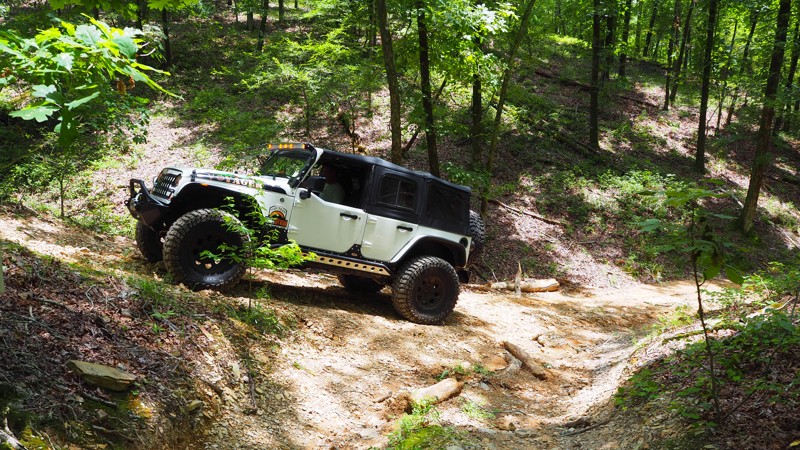
Forest Road 91002A, in the Ozark-St Francis National Forest, is a scenic out-and-back road that follows Perry Creek. At one time, there was a through road running adjacent called Perry Creek Road However, it seems to have been allowed to grow up and is inaccessible now. FR 91002A is a moderate trail with creek crossings, mud puddles, and forested campsites. During the wet season, the creek crossings could be an issue so be aware of the rain levels in the area before attempting the trail.
Updated: 01/17/2023
Tex-Winder F15 - Hot Springs ORV Park
Hot Springs National Park, Arkansas
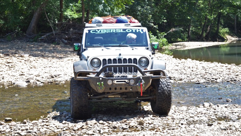
What a great trail to see what a new driver or rig can accomplish. Tex-Winder lives up to its name...how else can you pack .7 miles of trail into such a small area without multiple switchbacks and turns! It would be a great trail to add to any new guys list, requiring little use of 4WD, but demanding your attention so as not to run into any trees! Shaded and running several miles in the woods, it is a must-do if you have never been to Hot Springs ORV Park.
Updated: 10/15/2024
FR 93219
Tag, Arkansas
This trail was rocky and muddy. There is a creek crossing with a nice place to have lunch on the creek bed. You will want to take a right at the fork and then a left at the “T” the other roads are dead ends. This trail ends at Freeman Road (FR 1815).
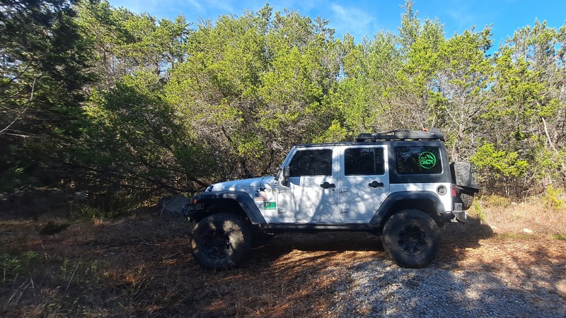
Updated: 10/15/2024
County Road 72
Advance, Arkansas
County Road 72 near the town of Big Flat, Baxter County, Arkansas, ends at a horse camp and nature hike. The hike will take you to Buffalo River, about a mile down the trail. There is a small creek crossing before you reach the river. County Road 72 is an easy drive for any vehicle but connects to the more difficult Mountain Ridge Road, which has epic bluff views. County Road 72 is a nice wooded country drive with mountain views, creeks, pastures, barns, horses, and donkeys.

Upgrade your Membership
Unlock all of the details on every Trail Guide and Scout Route.
Start a 7-day Free TrialCommunity
Partners

