



By clicking "ACCEPT", you agree to be the terms and conditions of each policy linked to above. You also agree to the storing of cookies on your device to facilitate the operation and functionality of our site, enhance and customize your user experience, and to analyze how our site is used.
Arkansas Off-Road Trails
56
Total Trail Guides 49

582
Detailed Waypoints 58
Try a Free 7-Day Trial and unlock it all
Start a Free Trial Most Recent Trail Reviews
No Rating
Partially Open
Visited: 09/07/2026
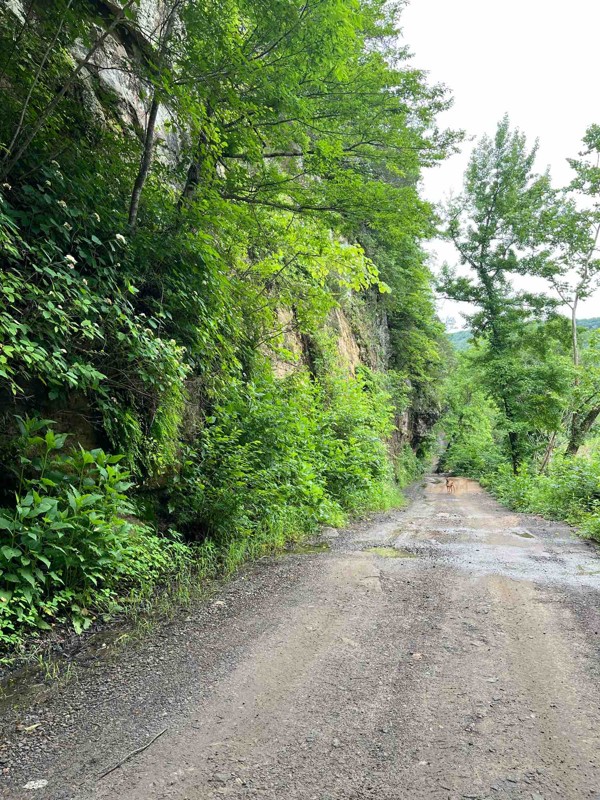
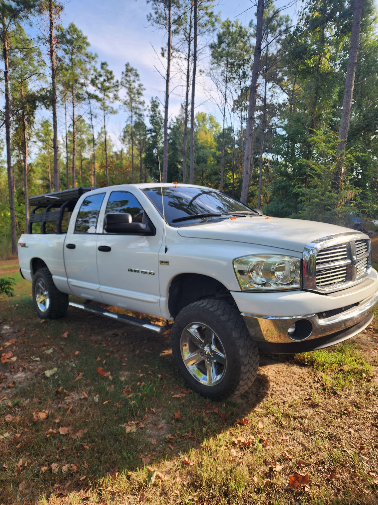
went in from the start point and when we got to where it was about to get fun and go up on the overlook section the government had put up signs of no road legal vehicles allowed. so it's kind of a let...

David Sirmon
No Rating
Open
Visited: 08/11/2026
Per the MVUM, the trail is seasonally open. As always, check current fire restrictions/closures before venturing out.

Trails Offroad
Official Crew
Rated 5/5
Open
Visited: 07/11/2026
Map is pretty spot on, several different options for obstacles, does get narrow in some spots but awesome scenery
B
Brianna
Rated 5/5
Open
Visited: 06/20/2026
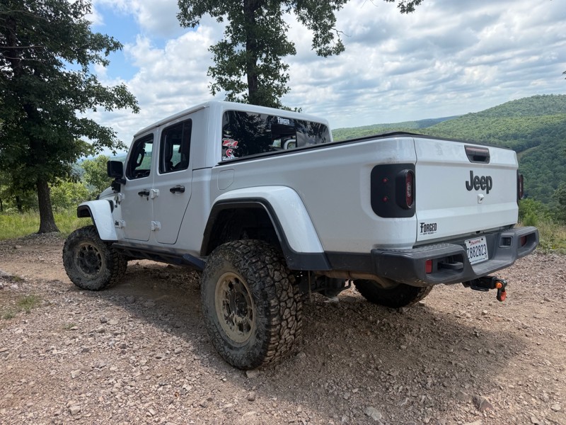
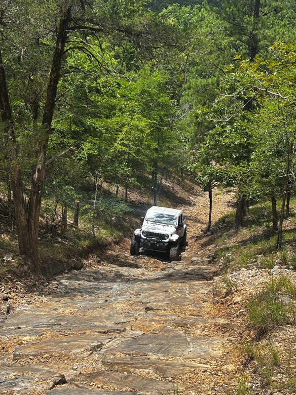
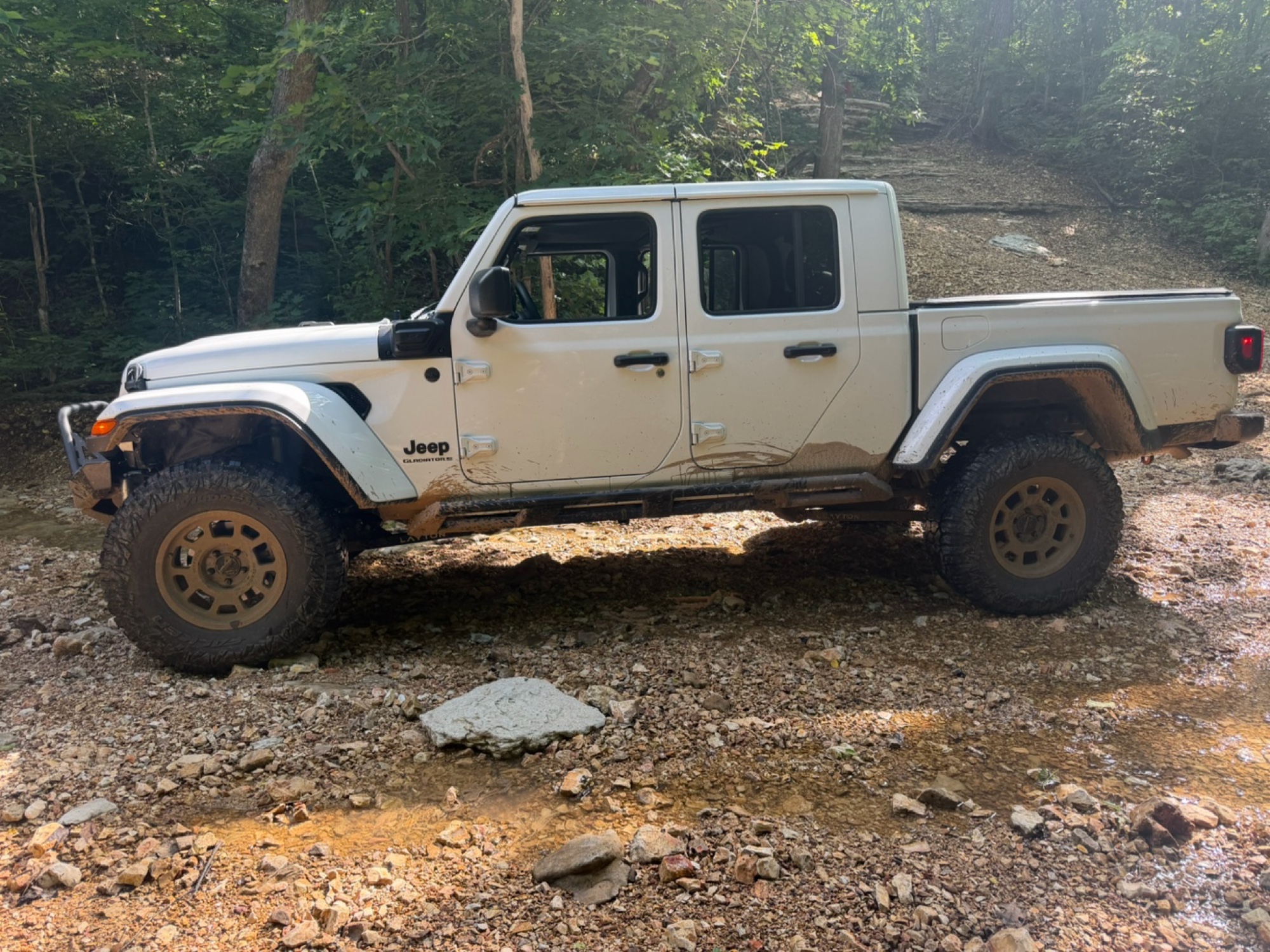
Loved it, 2025 gladiator sport s with 35’s, 2.5” Clayton long arm lift and rock jock anti rock sway bar.
Trail was just the right amount of challenge for myself and my 14 year old. I let him drive t...
Brad
No Rating
Temporary Closure
Visited: 06/14/2026
Unsure if they will open it due to the amount of downed trees. I will reach out to the ranger district and see what I can find out and will post a new review

Jason Clatt
Official Crew
Rated 5/5
Open
Visited: 06/14/2026
what a treat!! To think we have the ability to explore areas and find such amazing trails with fairytale style camping areas. I came across this spot around 10 AM and made my way back to it at 5 PM ...
Jason Clatt
Official Crew
Open
Visited: 06/13/2026
I attempted this in a stock 2026 4runner TRD Off Road. I got to waypoint 3 no problem. Just past way point 3 is a very deep and short crossing. I did not think I would be able to get through it withou...
JL
Jordan Leicht
No Rating
Partially Open
Visited: 06/13/2026
its closed to ohv at waypoint 10
BD
brian d
Rated 5/5
Open
Visited: 05/30/2026
i actually planned part of my route (135mi) to include this section simply because of the pictures and descriptions. loved it
Jason Clatt
Official Crew
Rated 5/5
Open
Visited: 05/30/2026
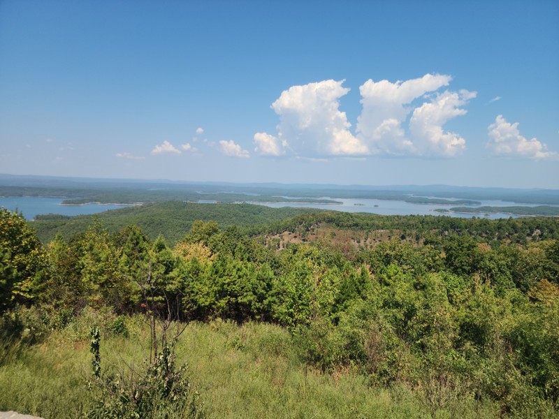
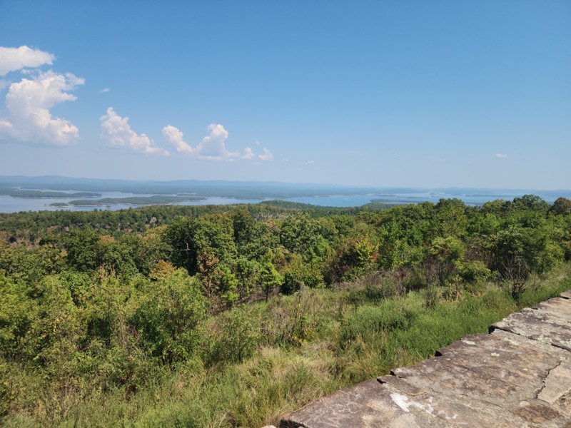
found myself on this road as a connector trail, didn"t know all the amazing camping areas nor the amazing overlook of the lake. It was a great place to stop and make lunch.
Jason Clatt
Official Crew
Rated 5/5
Open
Visited: 05/23/2026
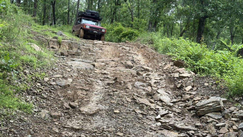
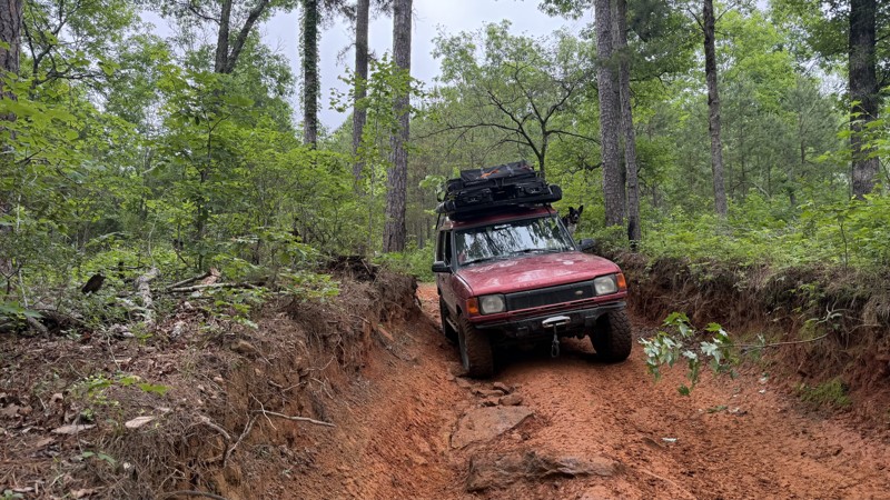
This trail presents a significant challenge, rewarding off-road enthusiasts with breathtaking views. Expect off-camber rock ledges and a notorious swamp section with numerous mud pits. The destination...
Jason Clatt
Official Crew
No Rating
Open
Visited: 05/16/2026
Trail was in great condition all the creek was dry sense no rain today but me and my friends had a blast on the trail and we will be back to finish the last part
A
Anthony
No Rating
Open
Visited: 05/09/2026
After 40 years of being in the passenger seat I am. now driving! This was day 3 of me being behind the wheel. I appreciated an easy trail!
SW
Susie White
Rated 5/5
Open
Visited: 04/26/2026
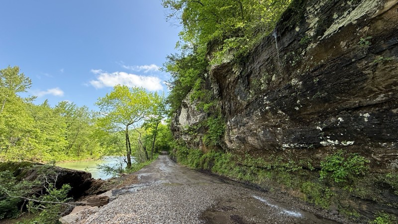
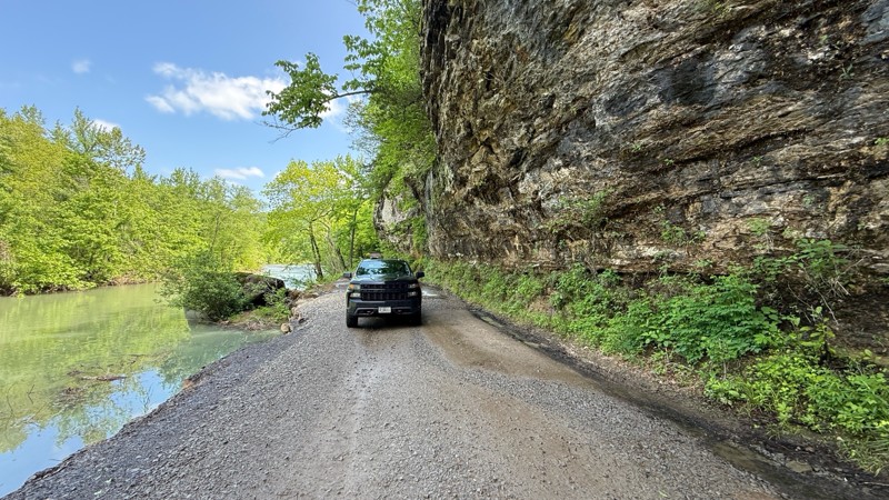
Carwash Falls was a good time today. Even though it rained quite a bit the night before, the water coming off the cliff face wasn’t crazy. The road is in great shape with some small puddles in spots. ...

Shayne Danielson
Official Crew
No Rating
Seasonal Closure
Visited: 03/31/2026
According to this trails management agency, the trail is likely closed for the season.
You can reach out to the agency for more details.
Be sure to leave us a report and let us know ...
Trails Offroad
Official Crew
Rated 4/5
Open
Visited: 03/21/2026
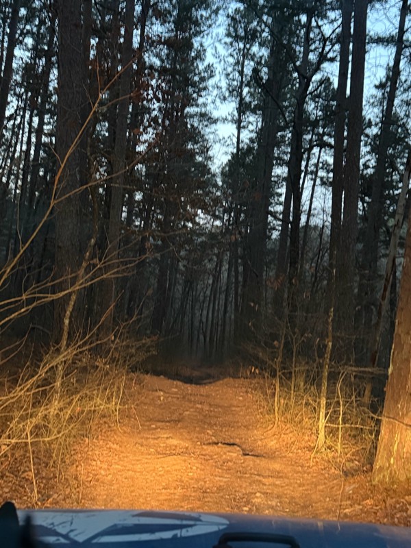
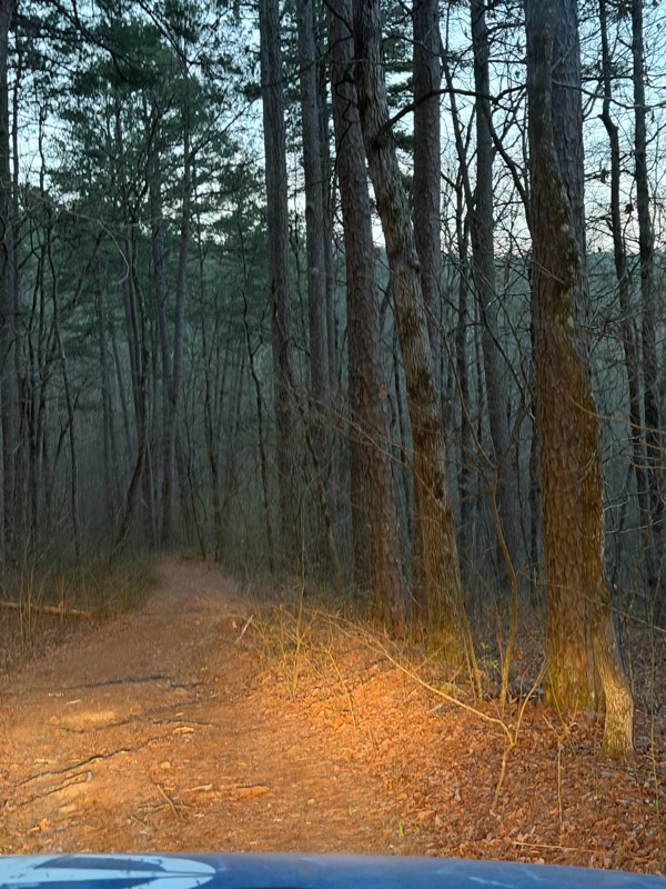
It was a fun little road, I went at dawn it dead ends into a homestead so you need to turn around. But nothing to challenging.
Shark Bait Jeep
Shark Bait Jeep
No Rating
Seasonal Closure
Visited: 03/15/2026
According to this trails management agency, the trail is likely closed for the season.
You can reach out to the agency for more details.
Be sure to leave us a report and let us know ...
Trails Offroad
Official Crew
No Rating
Seasonal Closure
Visited: 03/01/2026
According to this trails management agency, the trail is likely closed for the season.
You can reach out to the agency for more details.
Be sure to leave us a report and let us know ...
Trails Offroad
Official Crew
Rated 4/5
Open
Visited: 02/27/2026
This was a great experience. Prior to this I have run some trails in Moab and two other Badge of Honor trailes in Oregon. The loose rock and dirt made for a very different experience than those ones...
MS
Michael Shortle
No Rating
Open
Visited: 12/28/2025
When wet, this trail becomes quite the test! The ruts are a fun challenge but most can be bypassed
Kevin
No Rating
Open
Visited: 12/22/2025
tight trails and some steep slippery hills but nothing to be scared of does havea few deep creek crossing .
BD
brian d
BD
brian d
Rated 5/5
Open
Visited: 11/26/2025
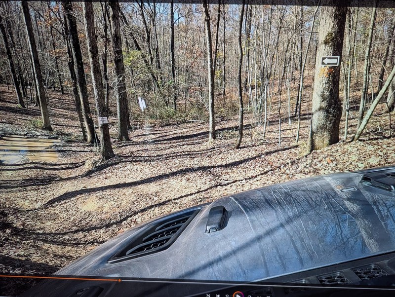
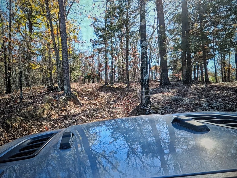
This is a very fun trail that provides a perfect warm up for the beginner to intermediate off roader. Sadly it is no longer a Jeep BOH trail but don't let that stop you from including it in your day...

Michael S Rusinko
Rated 5/5
Open
Visited: 11/26/2025
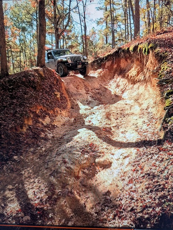
Rubicon Ridge definitely makes you earn your badge! There is no turning back after the initial drop off. You are committed for about an hours ride of awesome steep descents, climbs, and thrilling of...
Michael S Rusinko
Rated 5/5
Open
Visited: 11/26/2025
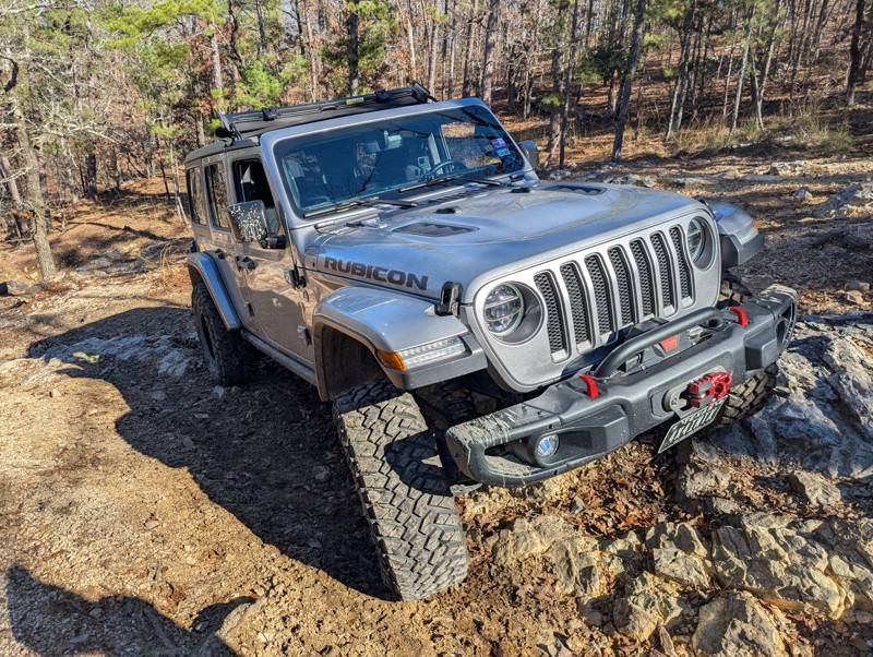
This trail is awesome! A must do trail for off any road enthusiast in the Arkansas area. We drove 8 hours and had a great time winding through the Arkansas woods earning our Jeep Badge of Honor. A ...
Michael S Rusinko
No Rating
Open
Visited: 11/08/2025
Fun trail a little spicy at the end with a stock jeep , but definitely doable .
BD
brian d
Rated 4/5
Open
Visited: 10/30/2025
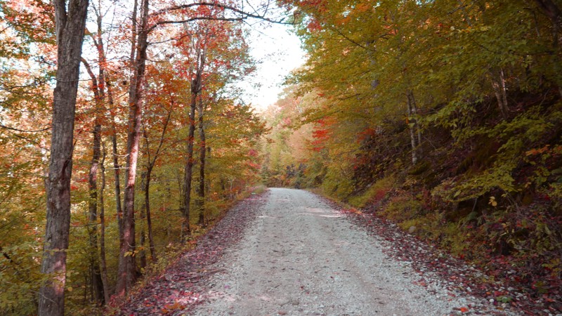
Most of the road is smooth gravel with light washboarding here and there, making it suitable for any high-clearance vehicle and most SUVs. The drive stays on the ridge for much of the route, offering ...

Brent
Official Crew
Rated 5/5
Open
Visited: 10/20/2025
I started the trail at the vista and went down. I had my offroad camper so took it nice and slow the 1st few miles through the rocky section. The trail was alot of fun and could be a nice trail to ru...


craig
No Rating
Open
Visited: 10/19/2025
Jumped on after driving Dare Mine (to loop back to highway). Little more exciting than Dare Mine - more stream-type crossings (although many were dry). More active trail. Saw a number of campers. Stil...
JD
Jon Dickinson
No Rating
Open
Visited: 10/19/2025
Sunny day. About 20 hours after rain storm. Trail essentially dry (but not dusty). Aired down to 25 PSI. Easy trail with some minor (but fun) stream crossings. Occasional rocks less than 3" but some u...
JD
Jon Dickinson
Rated 5/5
Open
Visited: 10/19/2025
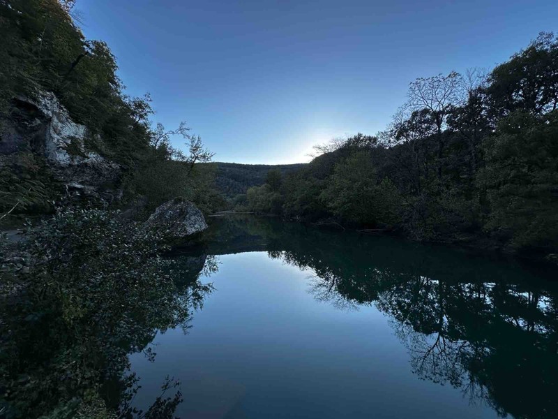
Loved this trail! The views are worth the drive alone. Trail itself was not very difficult but I’m sure with enough rainfall there could be concern in a few spots.

RS
Ryan Safarik
Rated 4/5
Open
Visited: 10/12/2025
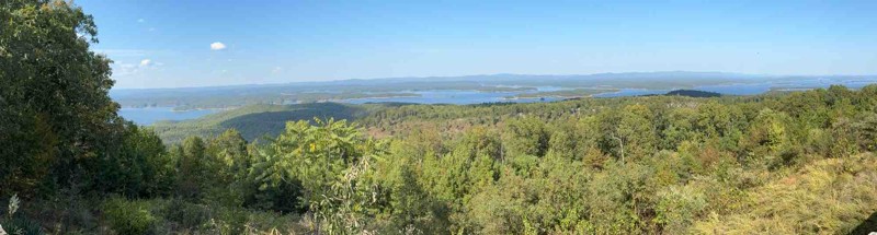
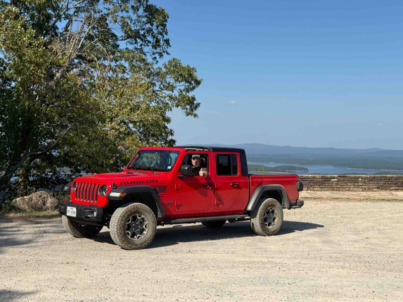
My first off-road in my 2023 Gladiator. It was fun but a little more intense than my wife wanted😜. It was a great first experience…
BT
Brad Teague
Rated 4/5
Open
Visited: 10/07/2025
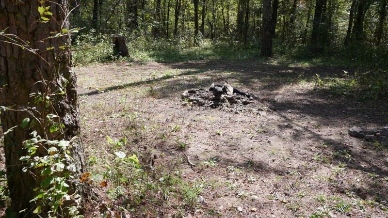
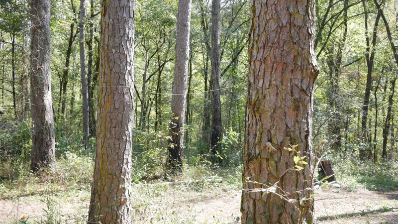
The drive begins on a broad gravel surface that gradually narrows as you move deeper into the forest. Expect moderate washboarding through the midsection, especially after dry spells or heavy traffic....
Brent
Official Crew
Rated 3/5
Open
Visited: 10/07/2025
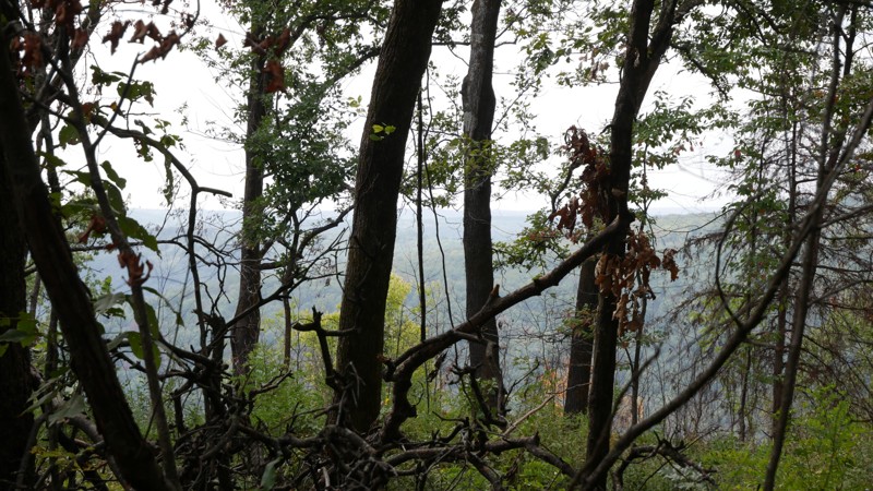
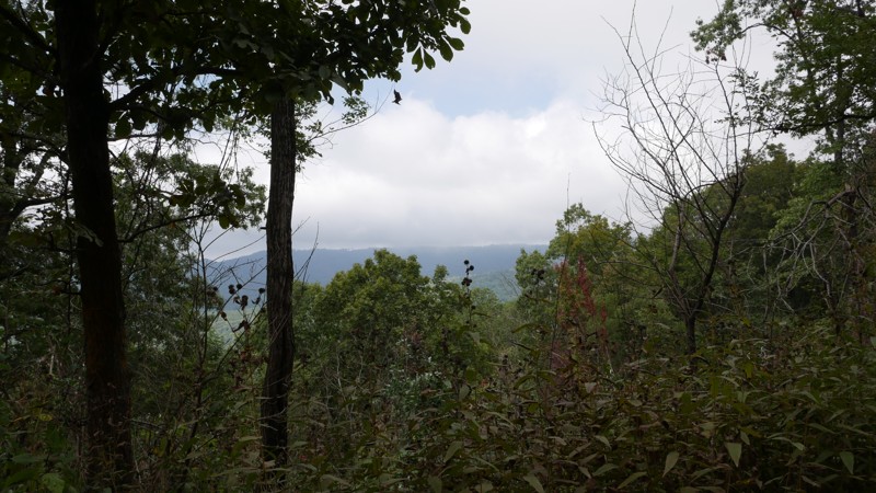
The road begins as a well-graded gravel surface and gradually narrows as it ascends into higher elevations. Expect mild washboarding and occasional rocky patches, especially after rainfall. While the ...
Brent
Official Crew
Rated 5/5
Open
Visited: 10/07/2025
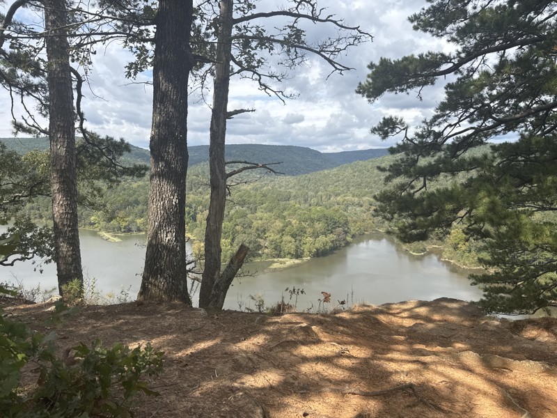
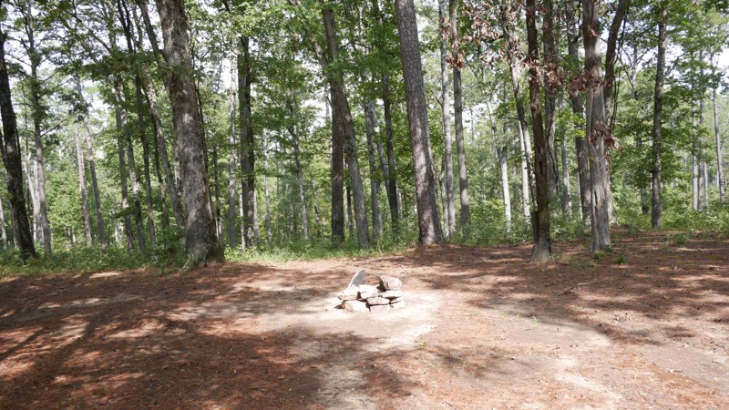
Shores Lake Road (Forest Service Road 1501) winds through some of the most scenic terrain in the Ozark National Forest, connecting Highway 215 near Shores Lake Recreation Area to the upper forest rout...
Brent
Official Crew
Rated 5/5
Open
Visited: 10/06/2025
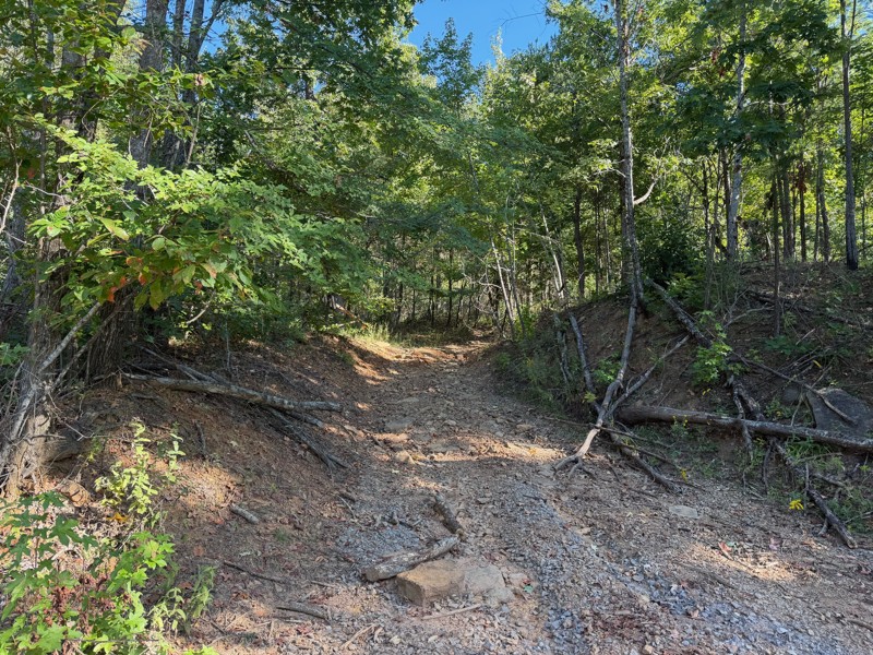
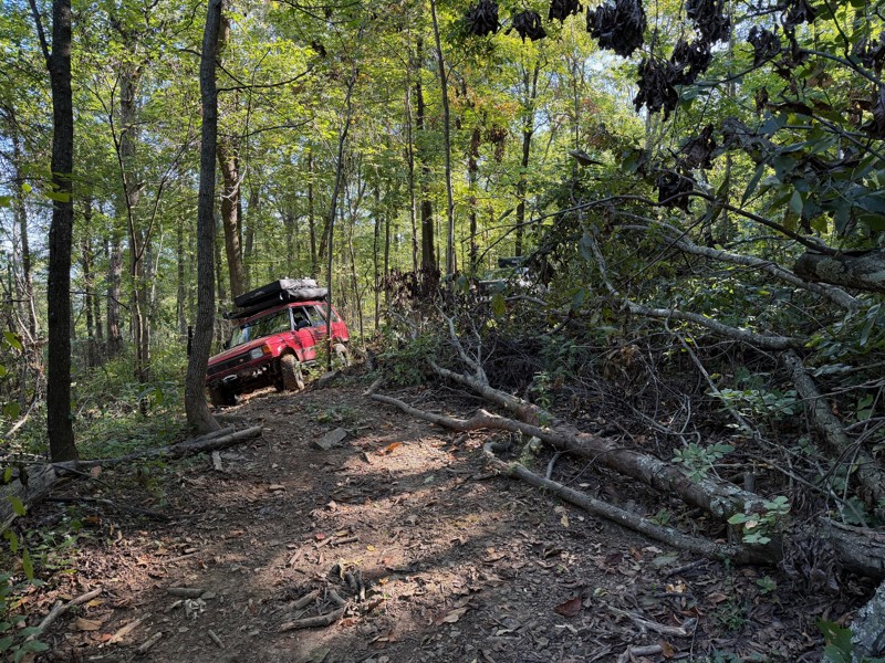
This trail has large rocks that will likely require a spotter. The trails are very narrow, covered in tree limbs, with logs that you must go over as well as downed trees that you must go around via al...
Jason Clatt
Official Crew
Rated 4/5
Open
Visited: 08/03/2025
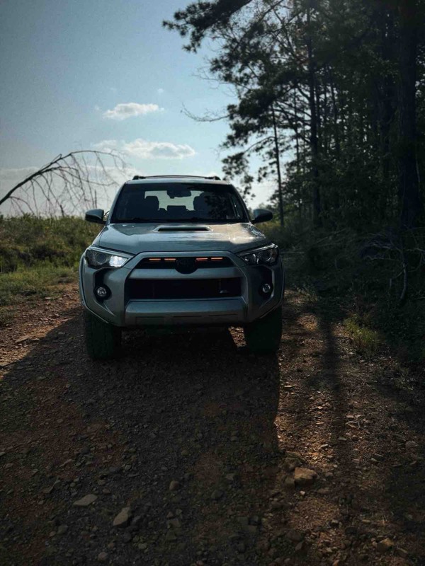
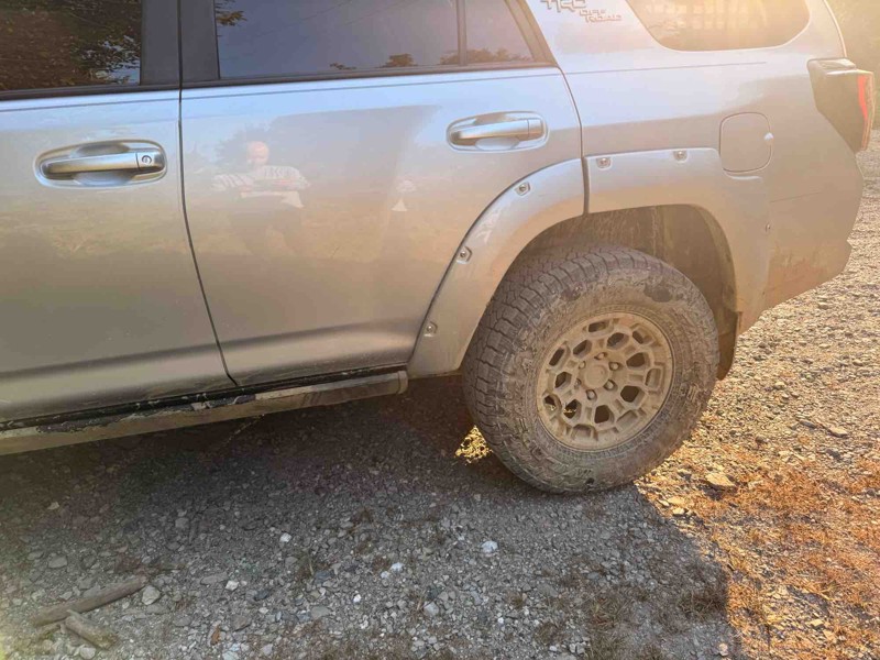
Very fun trail but took well over 3 hours because it was so narrow with most places very overgrown with trees. I have major pin stripping because of it. Spent most of the day in 4 low. Creeks were dr...
JP
J Parker
Rated 5/5
Open
Visited: 07/14/2025
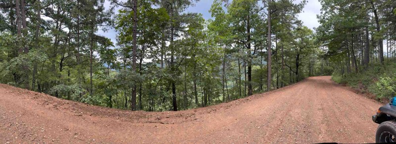
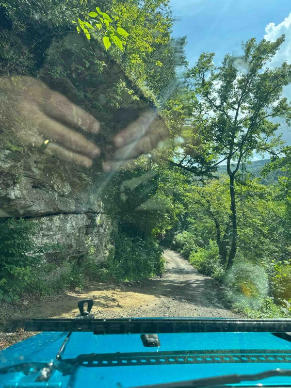
Great trail! No 4x4 needed. The creek was around 12-14 inches deep. Great views from this trail! I highly recommend for a beginner.
HC
Holly Cobb
Rated 5/5
Open
Visited: 07/10/2025
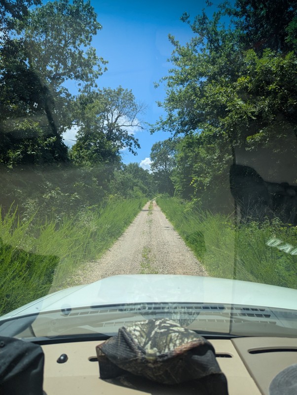
Drove today, was great and clear. Had a few muddy/wet spots near some of the overlook locations. Be aware of full road dip somewhere around mile 24!

Joseph M.
No Rating
Open
Visited: 07/05/2025
Drove this today. Everything was good but everyone should be aware to the giant full road dip at around mile 24.
JP
J Parker

Todd
Official Crew
GW
Gracey Williams
No Rating
Open
Visited: 06/14/2025
Lived up to its name. Steep and slick
JB
Jim Baker
Open
Visited: 06/14/2025
Great trail, went through with a stock Gladiator in 33s. Only dinged the rock sliders pretty good. I dinged my rock sliders on 35s with 2.5in lift in a JKU. My wife didn't like it at all. lol
JB
Jim Baker
Rated 2/5
Open
Visited: 05/24/2025
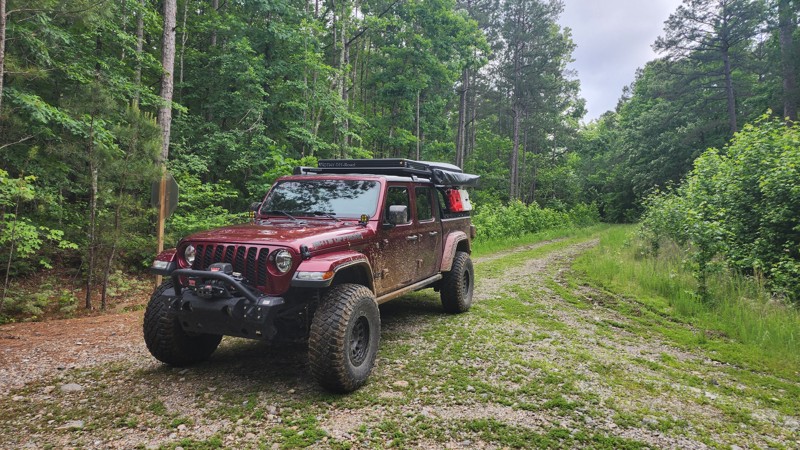
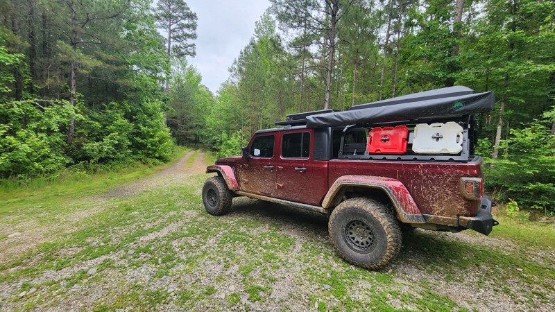
This trail is surrounded by dense tree cover, providing plenty of shade and a secluded feel, especially in the summer months. While the foliage limits long-range views, it adds to the immersive forest...
Tony Cress
Official Crew
Rated 4/5
Open
Visited: 05/24/2025
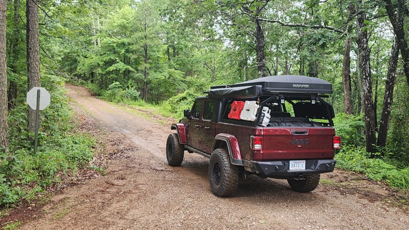
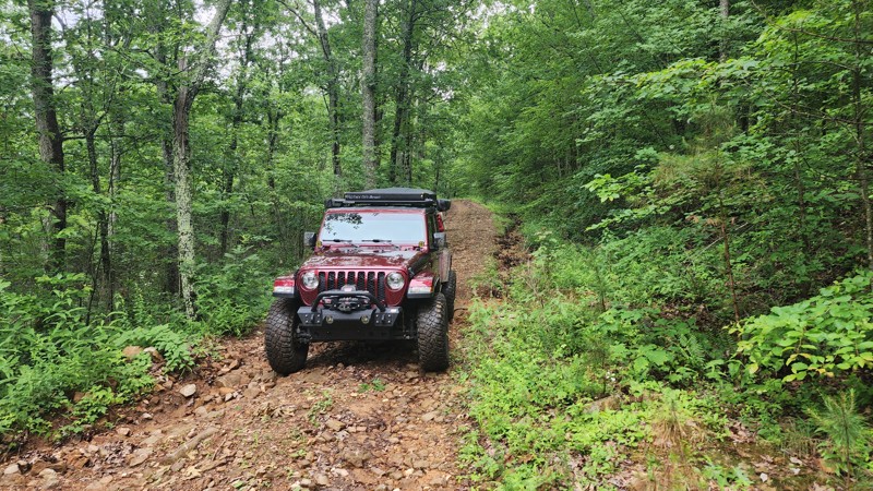
Beautiful scenic drive. Typically, 2 wheel drive vehicles with high clearance is all that would be needed. Depending on rainfall amounts, 4x4 could be required.
Tony Cress
Official Crew
Rated 3/5
Open
Visited: 05/24/2025
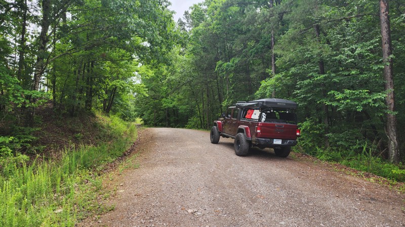
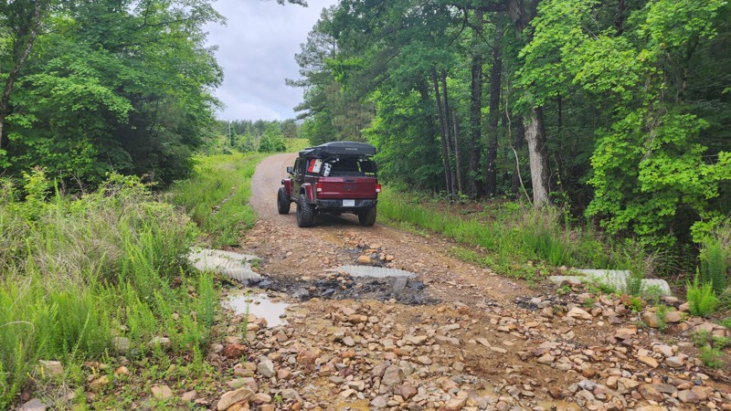
Very peaceful and scenic drive, I saw turkeys and deer along this trail. There is one spot where the culverts have been uncovered by recent heavy rainfall. I suspect this will be repaired quickly. Eit...
Tony Cress
Official Crew
Most Popular

Updated: 10/15/2024
Webb Lake Road
De Valls Bluff, Arkansas
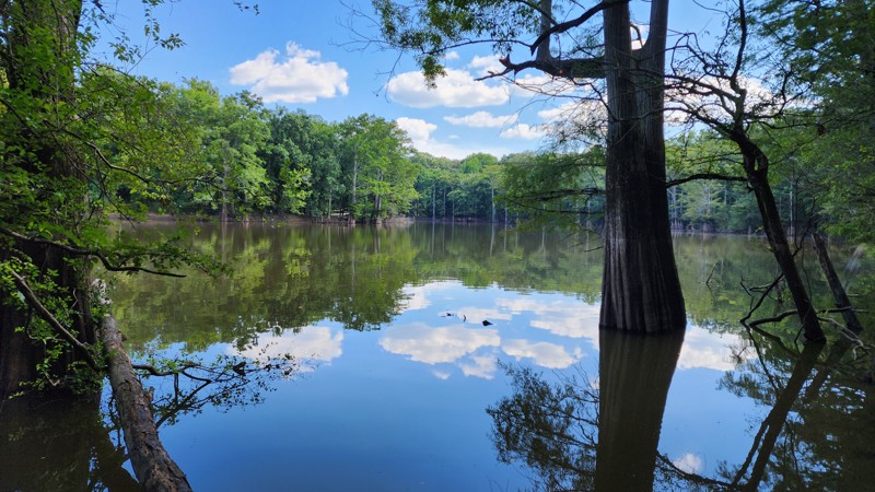
Webb Lake Road is an easy, straight-through gravel road that begins on the south side of the White River Rest Area on Interstate 40 and ends at Highway 70. In dry conditions, the trail is easily accessed by any two-wheel-drive vehicle. There is fishing at Webb Lake and several designated camping sites. An offshoot near the beginning of the trail allows access to the north side of Webb Lake. After passing Webb Lake, the trail winds around a small unnamed lake with great scenic views.
Updated: 10/15/2024
Cole Fork Road
Big Flat, Arkansas
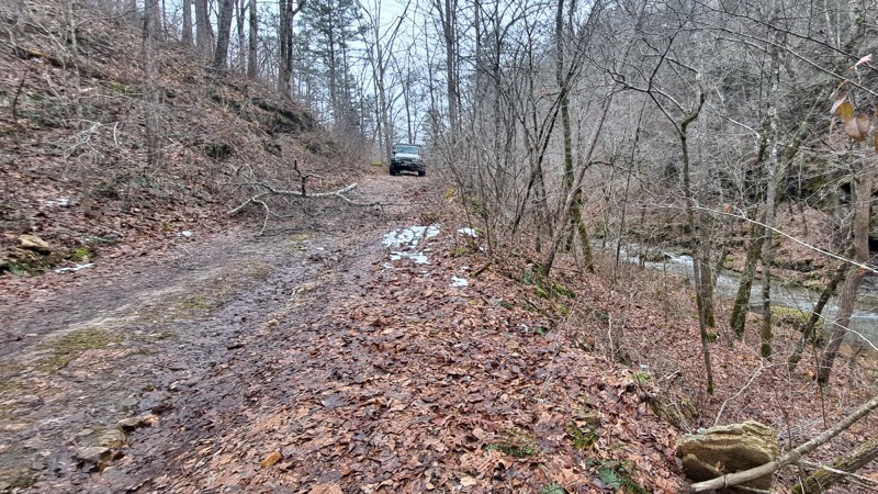
Spurring off FR 1108 in Ozark-St. Francis National Forest, FR 1125 follows a bluff line and a creek with awesome views. The road ends at the Sycamore Creek hiking trail and a forest campsite. OHVs tracks cross the creek, but the MVUM does not show the road continuing.
Updated: 01/17/2023
Dam Road F13 - Hot Springs ORV Park
Hot Springs National Park, Arkansas
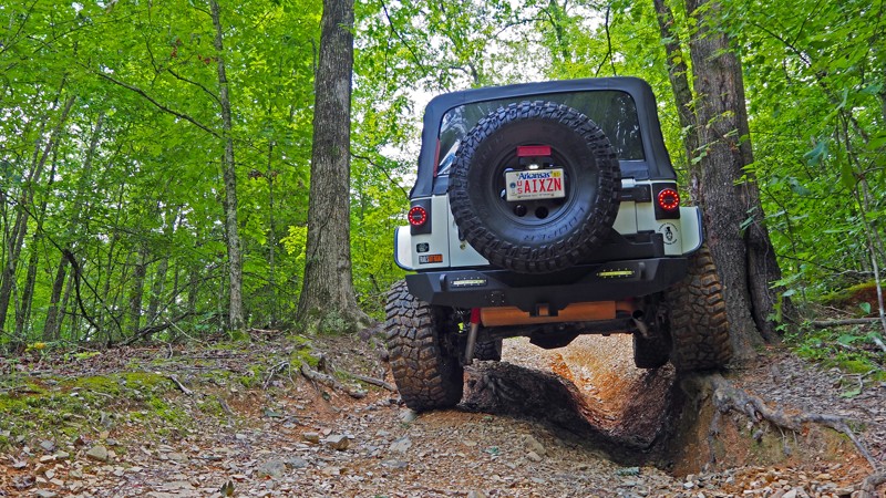
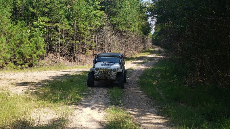
The anxiety per mile factor is extremely high on Dam Road! A precarious hill climb in Hot Springs ORV Park located between Pond Road and Main Road 2, it is less than one-tenth of a mile long and only one obstacle. The trail starts off innocent enough by a woodland pond. The real excitement begins when you turn the corner and start your climb. To the delight of some and the demise of others, you must carefully approach the washed-out area and pick the correct line, or risk dropping into the center of the trail. Dam Road will appeal to those who enjoy more challenging risks, as the consequences for your rear tire slipping off the edge could be dire. If you love excitement, it would be perfect to add to your day of wheeling after you run Rover's Ravine F7.
Updated: 07/15/2023
Cedar Mountain
Jessieville, Arkansas
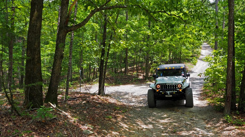
Do you love zigging and zagging through the national forests? Do you enjoy exploring side roads and seeing wildlife in their natural environment? Or maybe you are planning an overlanding trip and looking for the best route. Cedar Mountain has several side roads that lead to plenty of exploration and wildlife. It is also great for connecting many of the main forest roads together for a multi-day overland route. Regardless of whether you are looking for a good connector road for an overlanding trip, or just wanting to kick up a little dust, you'll want to put this short little forest road on the list!
Updated: 05/08/2024
Grand Cherokee Challenge B4 - Hot Springs ORV Park
Hot Springs National Park, Arkansas
If you enjoy driving on a country road, hearing the crunch of gravel under your tires and the flashes of light and shade from the canopy of the trees, Grand Cherokee Challenge B4 is an off-road destination for you! Located in Hot Springs ORV Park, it is short three tenths of a mile connector trail between Main Road 2 and the trailhead of Samurai Way B13 to B28, but is much more than that. If you are headed to Samurai Way B13 to B28, take Grand Cherokee Challenge, put some more crushed stone under your tires, and experience the feeling of a slow country drive.
Updated: 06/04/2026
Shores Lake Road
Cass, Arkansas
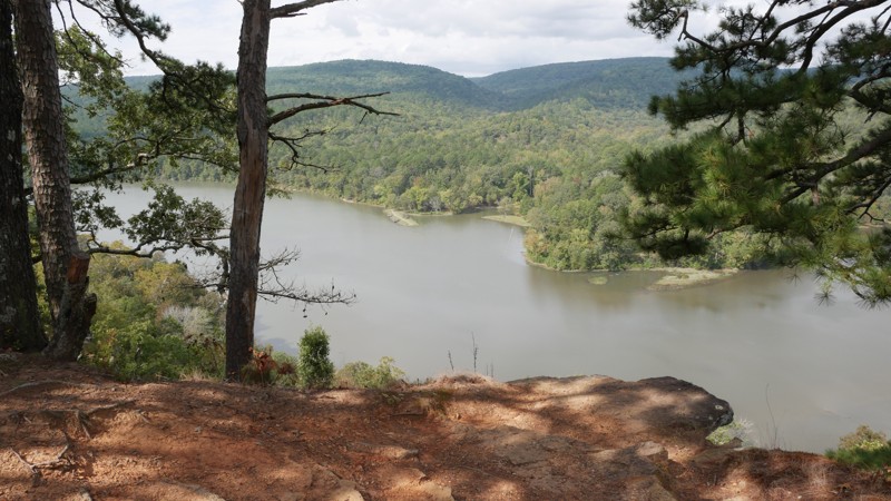
Shores Lake Road (FSR 1501) is primarily a well-graded gravel road with light washboarding and a few shallow washouts, especially after heavy rain. The route is passable in almost any vehicle, though a high-clearance rig will make for a smoother ride. The climb from the lake gradually gains elevation through dense hardwoods and pine, with occasional clearings offering sweeping glimpses of the valley below.
Several side trails branch off along the way, many leading to primitive campsites or short exploratory spurs perfect for off-roaders wanting to stretch their legs. The road is wide enough for easy passing, and navigation is straightforward, though cell service can be spotty; offline maps or a printed MVUM are recommended.
Highlights:
- Stunning overlook of Shores Lake from upper pull-offs near the ridge
- Multiple side trails and dispersed campsites along the route
- Direct access to the Shores Lake Recreation Area and nearby hiking loops
- Connects with FSR 1003 to White Rock Mountain for extended exploration
Updated: 04/10/2026
Lowder Road
Gobblers Point, Arkansas
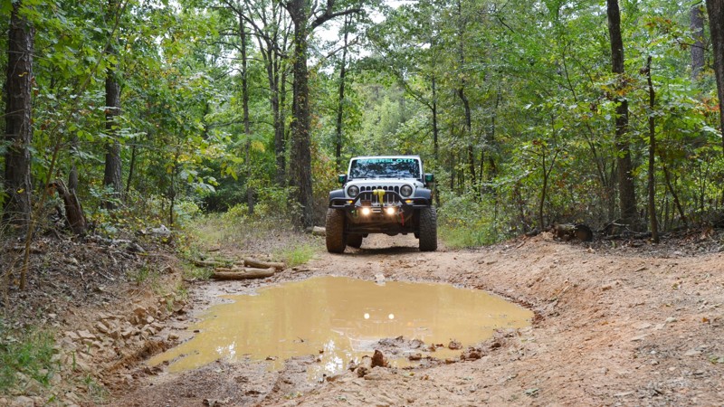
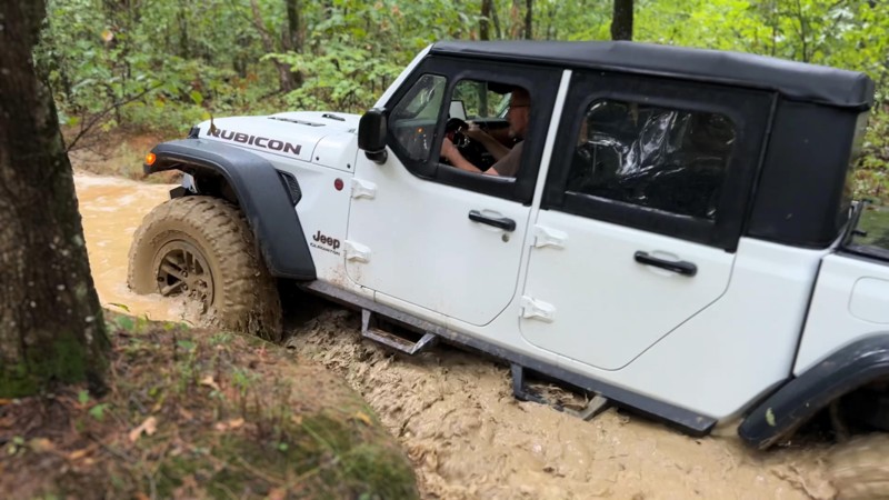
Lowder Road in the Ozark-Saint Francis National Forest is a fun dead-end road through the forest with several creek crossings. The creeks are seasonal and have some potential for a lot of water during the rainy season. The trail has a few mud puddles, some pin striping, and rocky/off-camber terrain. Lowder Road is not an especially long road but was well worth the ride.
Updated: 10/15/2024
FS 93053A
Solo, Arkansas
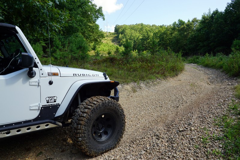
FS 93053A offers an enjoyable and moderately challenging ascent that caters to various offroad preferences. Driving northwest from Felkins/Meyer Bridge, you quickly encounter a creek crossing, which can be dry or up to 2+ feet deep during wetter months. Once across the creek, FS 93053A takes you across mixed terrain of loose dirt, clay, smaller rocks, and soccer to basketball-sized rocks. A steady 12-16 degree pitch and 746-foot elevation change through scenic hardwood and pines boosts your adrenaline, and expansive views of the canopy elicit feelings of driving through an enchanted forest. Expect both slight off-camber sections and possible pin-striping from overgrowth along the trail. There is a mostly firm-bottomed water hole with some softer mucky areas for a tinge of excitement, which can reach depths 3 feet even in drier seasons. This trail has a couple of good options for dispersed camping. There is one pull-off area large enough for 1-2 vehicles and another spot close to the top end of the trail, which can accommodate 7-10 vehicles and features a large established fire ring. FS 93053A is recommended if you enjoy scenic hill climbs through wooded areas, want an alternative route back to Adam's Mountain Road without completing Felkins/Meyer Bridge and Barker, or are looking for a stopover to camp during your next overland adventure.
Updated: 05/08/2024
Main Road 3 - Hot Springs ORV Park
Hot Springs, Arkansas
Main Road 3 is a smooth, short drive through the woods. It is not much in itself, but does lead to the entrance to C13 "Power Wagon Point", which is a 2 rated trail in the Park's rating system and a fun washed out hill climb. You can also make a scenic loop through the woods on "Waterfall" (B22 - B25) and end up back on Main Road 3.
Updated: 01/17/2023
Rover's Ravine F7 - Hot Springs ORV Park
Hot Springs National Park, Arkansas
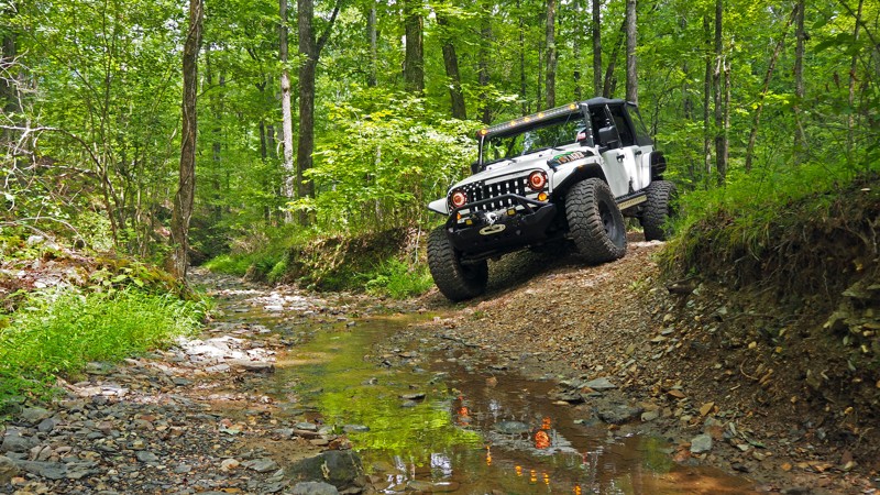
Rover's Ravine is a hidden gem amongst the 1200 acres of trails Hot Springs ORV Park has to offer. A gorgeous drive upstream and through the woods will calm your day, and Waypoint 5 will really get your blood pumping! Take a turn at Waypoint 2 of Pond Road, drop into the creek bed, and enjoy the sound of the creek and woodland scenery. The extreme off-camber and tight squeeze at Waypoint 5 will appeal to those who enjoy picking a perfect line. It takes an experienced driver or patient spotter to avoid body damage or a flop, but that just adds to the excitement of the trail!
Updated: 06/05/2022
Pond Road F14 to F2 - Hot Springs ORV Park
Hot Springs, Arkansas
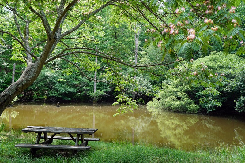
Pond Road near Hot Springs, Arkansas is a nice leisurely drive through the woods, complete with a stream crossing and a shaded picnic table by the pond. It is also a scenic cut-through between Main Road 1 and Main Road 2 that can be driven in either direction. If you are partaking in all the other off-road trails in Hot Springs ORV Park, this is a fun road to simply enjoy the scenery.
Updated: 10/15/2024
Pear Tree Road
Cleveland, Arkansas
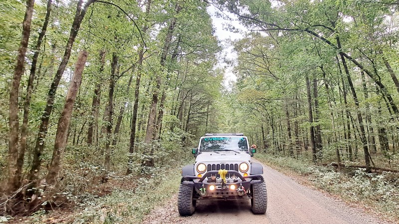
Pear Tree Road is a nice smooth county road with many jeep trails branching off as you drive further into the Ozark St-Francis National Forest. The road meanders through some farmland and into the pine forest . In the Fall, as the colors change, this will be a nice beautiful Sunday drive. No camping.
Updated: 06/15/2026
Deer Trap
Bidville, Arkansas
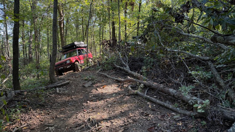
Hidden deep in the Ozark National Forest, Deer Trap Trail is a rugged and narrow path that tests both driver precision and vehicle width. Heading south through dense woodland, the route connects to Forest Road 1003 (White Rock Mountain), eventually leading toward Shores Lake. This secluded section of trail winds through thick hardwood forest, where the canopy closes in tightly overhead, creating a tunnel-like drive with low-hanging branches ready to leave their mark on wider rigs.
Downed timber and tight trail corridors make this route best suited for narrow offroad vehicles. Full-size trucks will struggle to squeeze through without significant pinstriping or risk of body damage. The terrain alternates between rutted dirt, slick roots, exposed rocks, and off-camber sections that require careful line choice, especially after rainfall when the surface becomes slick. While challenging in spots, the drive is immensely rewarding, offering a genuine backcountry feel and a sense of exploration that few other routes in the area provide.
This trail is not well-suited for camping, but a large, open site suitable for groups does exist, less than 1 mile from the southern end of the trail. Some vehicle leveling or creative tent placement will be required in 75% of the area due to the hillside's contour. The other 25% seems flat with little to no leveling
Updated: 09/29/2025
Little Cedar Creek
Hollis, Arkansas
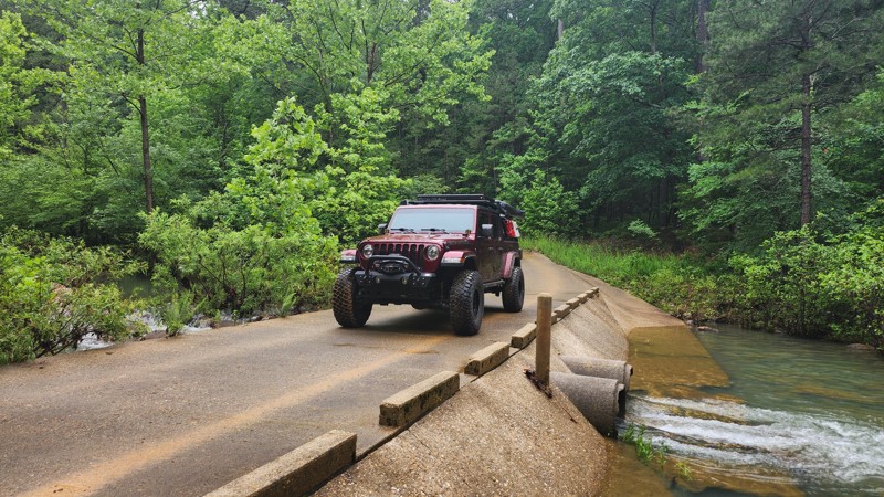
Traveling alongside the Flatside Wilderness, Little Cedar Creek is an easy, maintained trail with two low water crossings while trekking through a dense forest canopy, on its way to a fantastic hike to Forked Mountain Falls. This trail is suitable for any vehicle. Along the drive, you can find one Campsite on the way in and additional camping at the end of the road next to a large bluff on Forked Mountain.
Updated: 10/15/2024
Driver Creek Road
Cleveland, Arkansas
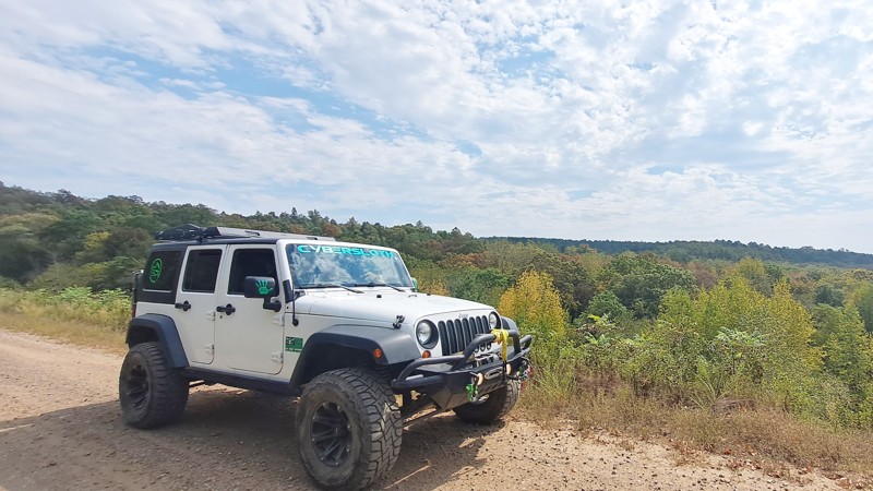
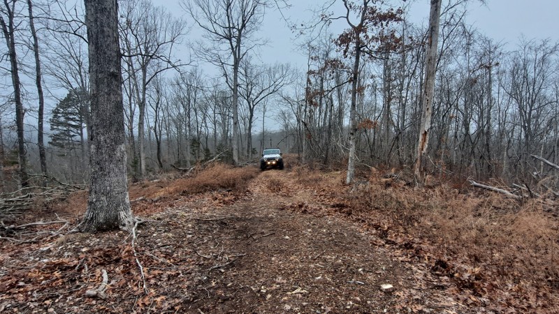
Driver Creek Road is an easy drive into the Ozark National Forest along a ridge with some nice views. There are many connecting off-road trails for more adventure. You will cross a levee around a lake as you move deeper into the forest.
The road ends at a staging area for OTVs and ATVs with primitive camping
Updated: 10/15/2024
Hooper Hollow
Fifty-Six, Arkansas
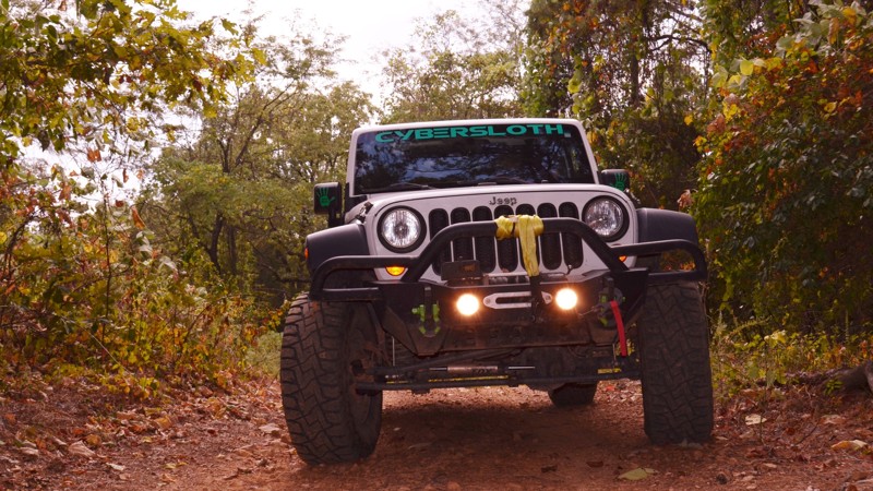
Hooper Hollow, FR 1108F, spurs off North Barkshed Road in the Ozark-St. Francis National Forest. This short side road winds through the woods and ends in a clearing on a grassy knoll. Hooper Hollow is a great road to catch wildlife and do a little bird watching. Downed trees are common on this trail. Bring your saw.
Updated: 10/15/2024
Driver Creek Dam Road
Cleveland, Arkansas
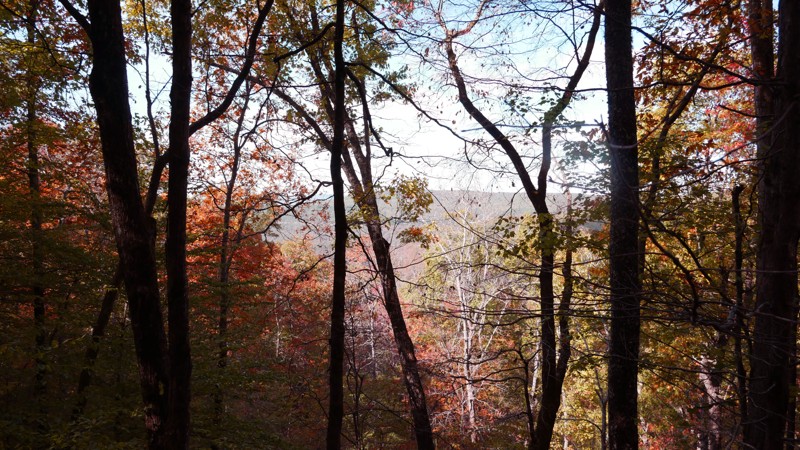
Driver Creek Dam Road is a nice, easy trail through the woods with several trails shooting off from the main roads. Some of the off-shoots are more technical and potentially exciting, particularly during the rainy season due to several creek crossings. There are many staging areas if you are looking to trailer an OHV or ATV for riding. There are also several campsites large enough for your entire group.
Updated: 11/20/2025
Parker Ridge Road
Deer, Arkansas
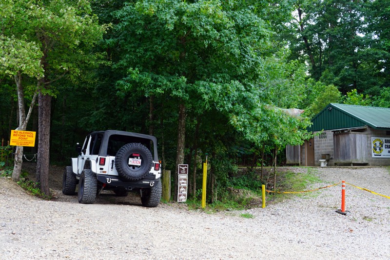
Parker Ridge Road offers an easy and scenic route along one of the Ozark National Forest’s most beautiful ridgelines. This well-maintained gravel forest road features gentle washboarding in sections, wide-open valley views on both sides of the ridge, and multiple side trails to explore. It’s an ideal beginner-friendly route with big-payoff scenery, especially during fall when the foliage turns the hillsides into a stunning blend of orange, red, and gold. There are also several primitive camping options.
Updated: 05/08/2024
Bulletproof Loop B1 to B7 - Hot Springs ORV Park
Hot Springs, Arkansas
Bulletproof Loop B1 to B7 is a smooth, short, forrest drive down a dirt road. It is very well shaded in the green months, and can be a nice route to run if you need a break from wheeling in the hot sun. There is a small dell that runs along the road on your left, and makes the wooded scenery that much more pleasant. The trail ends in the middle of B4 "Grand Cherokee Challenge."
Updated: 12/02/2025
Potato Knob
White Rock, Arkansas
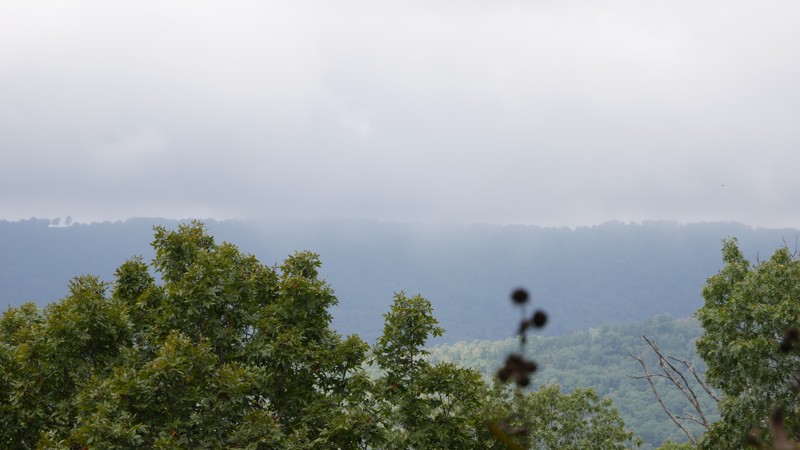
Forest Road 1510, locally known as County Road 77, or Potato Knob on Forest Service maps, winds its way through the rugged heart of the Ozark National Forest. This maintained gravel route steadily climbs in elevation, offering a classic backcountry drive that’s perfect for those looking to explore the high ridges north of Shores Lake and White Rock Mountain.
Expect mild washboarding. The road is wide enough to pass at most points. There is a steady climb in elevation. There are several offshoots for more trail exploration and many dispersed camping options.
There is primitive camping on this route, but there are only a few in this section.
Updated: 08/11/2026
Branscum
Optimus, Arkansas
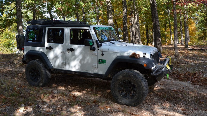
Forest Road #1140, in the Ozark St Francis National Forest, normally connects County Road 26 and Green Mountain Road. Currently, the part on the Green Mountain Road side is closed due to a washout on the bridge. It is still a beautiful, wooded, out-and-back trail with primitive camp areas. In October, the trees are vibrant, and the views are spectacular.
Updated: 01/17/2023
C11 to C13 - Hot Springs ORV Park
Hot Springs National Park, Arkansas
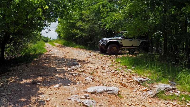
C11 to C13 is just what its name sounds like, a connector road between a harder trail and a main road, Ingrid's Revenge C6 and Main Road 5. It is short, as in super short. In fact you could line up 18 Jeep JKU Wranglers and cover every inch of this trail! If you want to avoid “The Bowl” on Ingrid's Revenge this would be your bypass route!
Updated: 06/04/2026
Fanes Creek Road
Bidville, Arkansas
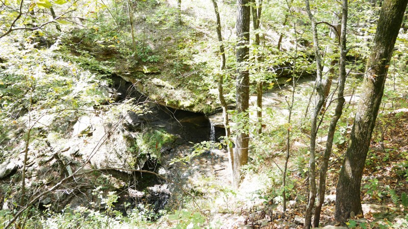
Fanes Creek Road is a scenic back road in the Ozark National Forest that delivers a mix of relaxed exploration and classic Ozark character. Winding along forested ridges and dropping into low creek valleys, this route offers a little more texture than your average forest road, with frequent washboards, mild ruts, and a few rocky stretches that keep things interesting.
While passable for most high-clearance vehicles, the uneven surface and occasional standing water make it best suited for SUVs and trucks with off-road tires.
Points of interest include Phipps Branch Falls, which is beautiful in the spring. There is a low-water bridge that crosses clear, turquoise water, offering a nice place to see true Ozark beauty. There are several opportunities to explore additional trails and dispersed camping.
Updated: 10/15/2024
Caney Road
Optimus, Arkansas
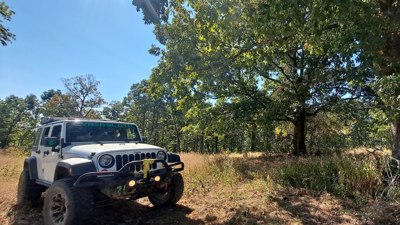
Caney Road, FR 1141A, connects to FR 1141 in the Ozark – St Francis National Forest. The trail ends in a secluded field with a nice campsite under several large hardwood trees. Caney Road would be a great place to set up camp and watch for wildlife. Deer, squirrel, and turkey are commonly seen, and occasionally you will spot a black bear or two. There are areas along the road that opens to valley views and beautiful Fall colors. The road goes from graded to field, back to graded. When you hit the field, just follow the tire tracks to pick up the graded road.

Upgrade your Membership
Unlock all of the details on every Trail Guide and Scout Route.
Start a 7-day Free TrialBrowse Trails in Arkansas by City
Browse every Arkansas city with offroad trail guides.
Community
Partners

