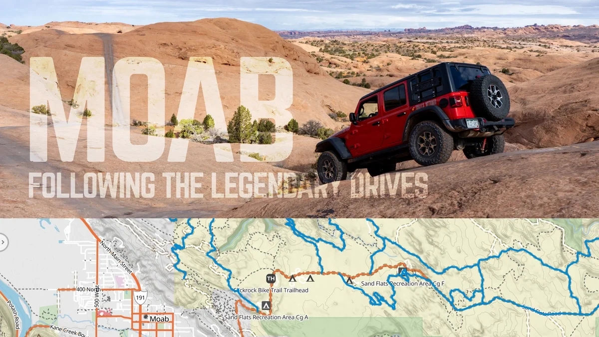
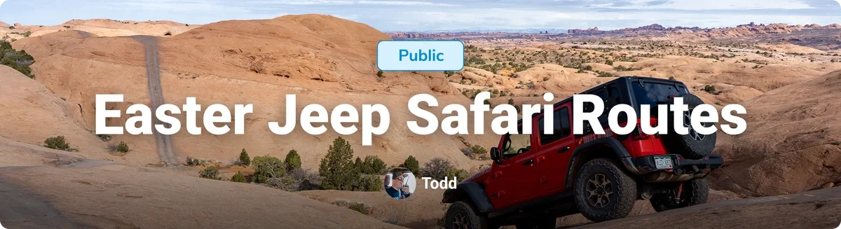
Easter Jeep Safari Routes: Following the Legendary Drives of Moab
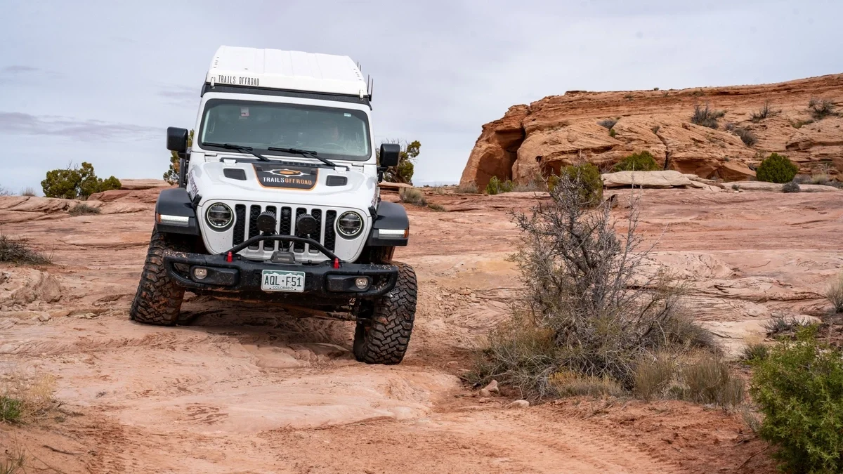
Every spring, the red rock desert surrounding Moab, Utah, fills with the sound of engines and the sight of four-wheel drives crawling across sandstone. For many offroad enthusiasts, Easter Jeep Safari is not just another event. It has become a tradition that draws people back year after year to experience the landscape and the trails that made Moab famous.
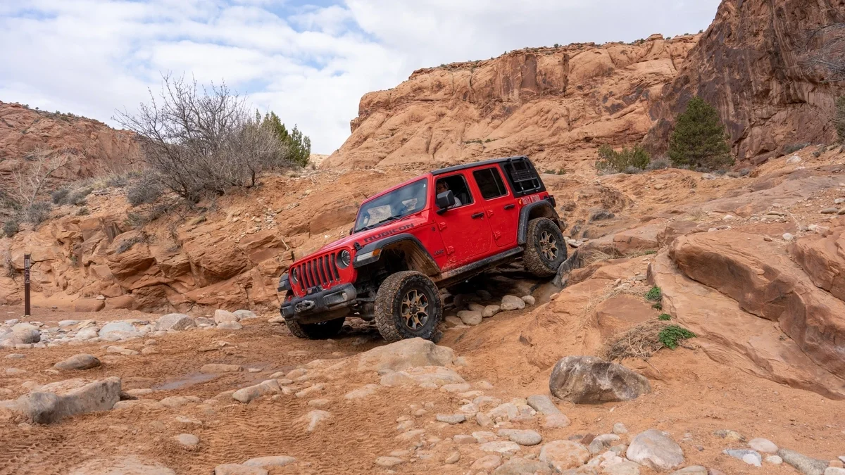
The trail names alone carry a kind of mythology. Hell’s Revenge, Poison Spider Mesa, Golden Spike, and Behind the Rocks have been part of the Easter Jeep Safari schedule for decades and have helped shape Moab into one of the most recognized offroad destinations in the world.
But when you start looking more closely at the event schedule or studying the maps, something interesting begins to appear. What many people refer to as Easter Jeep Safari trails are often not single trails at all. They are routes that combine several trails together into one organized drive for the day. Understanding that difference reveals a lot about how Moab works and how offroad travel really happens across the desert.
The Beginning of Easter Jeep Safari
The first Easter Jeep Safari took place in 1967. At the time, it was a small event organized by the Moab Chamber of Commerce to bring visitors to town during the slower spring season. The original run was a single-day drive on the trail known as Behind the Rocks.
Interest grew quickly. Word spread among Jeep owners and four-wheel-drive clubs, and what started as a simple outing soon became an annual gathering.
As the event expanded through the 1970s and early 1980s, the need for formal organization increased. In 1983, responsibility for the event shifted to the Red Rock 4-Wheelers, largely due to Bureau of Land Management permitting requirements. Since then, the Red Rock 4-Wheelers have worked closely with land managers to organize the event and guide thousands of participants across the region each year.
Today, Easter Jeep Safari includes dozens of organized runs that explore the most famous terrain anywhere in the Southwest.
Why They Are Called Routes
When you sign up for an Easter Jeep Safari drive, you are signing up for a route for the day.
A route is essentially a planned journey. It is an itinerary designed by the Red Rock 4-Wheelers and approved through the Bureau of Land Management permitting process. Instead of representing a single trail from start to finish, the route links together several trail segments to create one complete experience.
A single day on the trail may include portions of multiple named trails, short connectors between trail systems, and scenic sections chosen to highlight the best terrain in the area. The route defines where the group will travel during the event and helps organizers manage timing, safety, and group movement across public land.
In simple terms, the route tells the story of the day.
The Trails Beneath the Easter Jeep Safari Routes
Underneath every Easter Jeep Safari route are the individual trails themselves.
These trails are the actual roads managed by land agencies such as the Bureau of Land Management. Each one exists as its own segment with defined start and end points. Many of them are identified by official road numbers used by land managers to track access and maintenance.
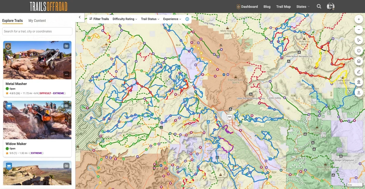
When Trails Offroad maps an area like Moab, we focus on these individual trail segments from beginning to end. They represent the real structure of the trail system as it is officially managed.
One way to think about it is that trails are the roads, and routes are the road trip.
Why Routes Sometimes Change
Moab’s trail network is surprisingly interconnected. Unless a trail is a simple out-and-back drive, there are often several ways to move through an area and reach the same destination. This flexibility is one reason Easter Jeep Safari routes occasionally change from year to year. If a section of trail becomes overused or damaged due to land management decisions, the organizers can simply adjust the route by connecting different trails.
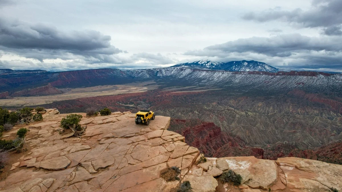
The experience may shift slightly, but the underlying trail system remains the same. That network of interconnected trails is one of the reasons Moab is such a remarkable place to explore. Once you understand how the trails fit together, you begin to see many different ways to move across the landscape.
Driving the Easter Jeep Safari Routes Yourself
For many visitors, Easter Jeep Safari is their first introduction to Moab. It is common for someone to attend the event one year and return later to explore the same trails on their own.
The GPS tracks shown here represent the varied authorized route corridors used during the event. They show how the Red Rock 4-Wheelers typically connect trails together to create a full day of driving.
Outside of the event week, almost all of those same routes remain open to the public. That means you can recreate portions of the famous Safari drives or design your own adventure using the same trail network.
Following Safari Routes with Trails Offroad
Because Easter Jeep Safari routes are built from multiple trails, permanently mapping every route on a map would quickly become confusing. In areas like Moab, many routes share the same trail segments, sometimes overlapping several times within a short distance.
To keep the map clear and easy to understand, Trails Offroad focuses first on the Trail Guides themselves. These guides document the individual trails that make up the region’s offroad network.
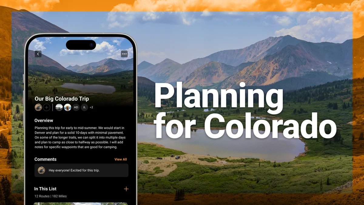
From there, experiences such as Easter Jeep Safari routes can be organized into Public Lists. These lists simply arrange the trails in the same sequence used during the event, allowing you to follow the route step by step if you want to recreate the experience. As you move from one trail to the next, you can still open the full trail guide for each segment. Difficulty ratings, descriptions, photos, and navigation information remain available throughout.
Some people enjoy following the classic Safari routes exactly as they were designed. Others prefer to explore side trails and discover new connections along the way. The trail system makes both possible.
Our list of the most famous EJS routes is available here.
The Real Magic of Moab
Easter Jeep Safari routes highlight some of the best driving anywhere in the world. They reflect decades of experience from the Red Rock 4-Wheelers and guide visitors across the region's most iconic terrain.
Yet the real magic of Moab lies beyond the routes themselves. It is the network of trails beneath them. The countless connections, overlooks, obstacles, and hidden corners of the desert are waiting to be explored.
Once you understand how the routes and trails work together, Moab stops looking like a single line on a map. Instead, it becomes something much bigger, a landscape full of possibilities.

Todd is the Founder of Trails Offroad and an avid wheeler who loves to explore new trails whenever and wherever possible. They say necessity is the mother of all invention, which is true for Todd. His want and desire to find passable trails and new nooks and crannies of the Great American west to explore were his reasons behind starting Trails Offroad. On any given day, you can find Todd on an obscure 4x4 trail, curating Trails Offroad guides, or using his legs to hike to an alpine lake.

Community
Partners