



By clicking "ACCEPT", you agree to be the terms and conditions of each policy linked to above. You also agree to the storing of cookies on your device to facilitate the operation and functionality of our site, enhance and customize your user experience, and to analyze how our site is used.
West Virginia Off-Road Trails
20
Total Trail Guides 12

175
Detailed Waypoints 83
Try a Free 7-Day Trial and unlock it all
Start a Free Trial Most Recent Trail Reviews
Rated 5/5
Open
Visited: 09/18/2026
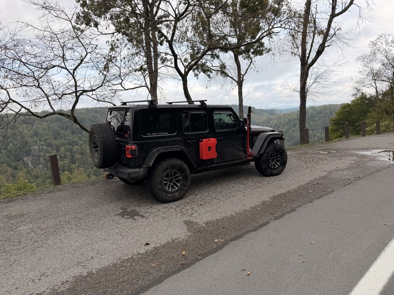
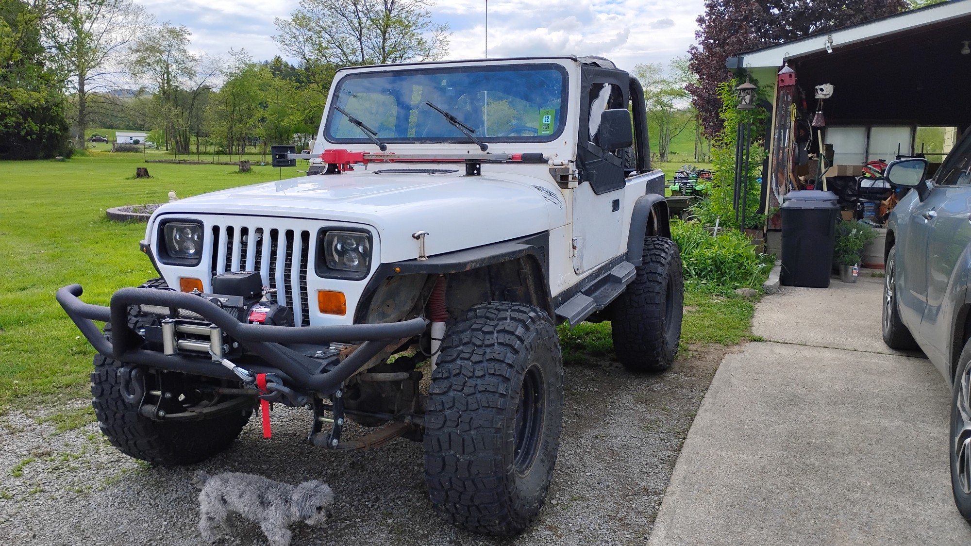
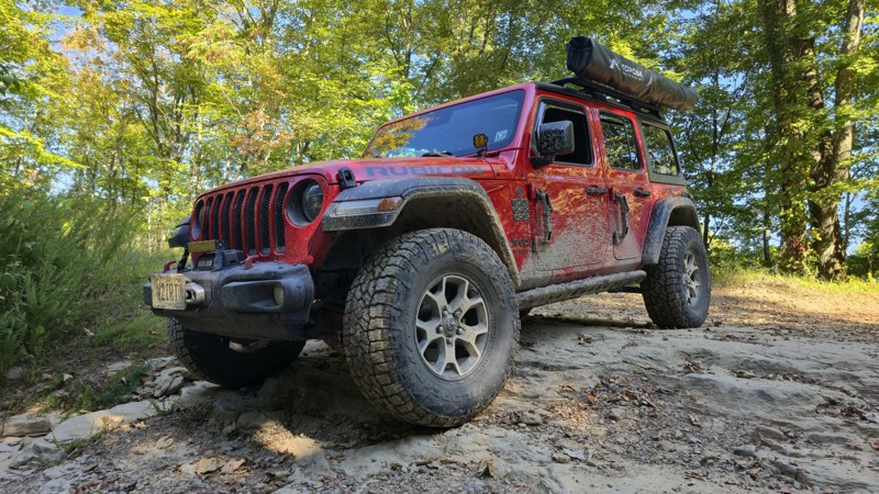
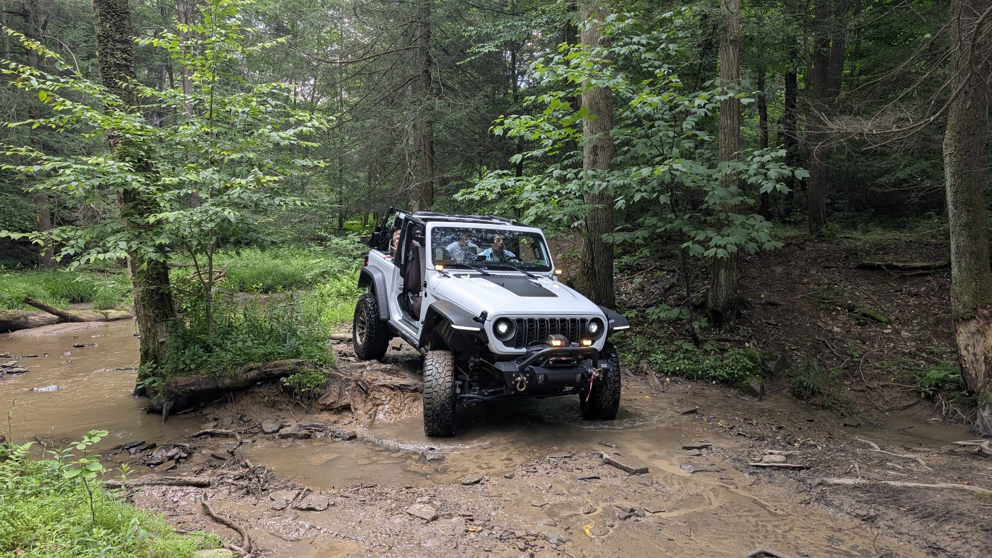
Trail is wet but fully passable, the Jeep pic shows the Jeep immediately after clearing the trail. No downed trees, washouts, or other blockages encountered. Water crossings are active, but nothing un...

Kenny Gall
No Rating
Open
Visited: 08/11/2026
Per the MVUM, the trail is seasonally open. As always, check current fire restrictions/closures before venturing out.

Trails Offroad
Official Crew
No Rating
Open
Visited: 08/06/2026
My wife bought me my first jeep for Christmas of 2025. This was our first trail we got to go on since we have had it. We had a blast in a stock 2025 Willys just took out time with it the trail looked ...
EL
Eddie L Dickens
Rated 5/5
Open
Visited: 08/02/2026
Great skill and confidence booster for stock Rubicon JL with self rescue gear
JM
James Means
Rated 5/5
Open
Visited: 07/14/2026
The new rating is spot on. I love running this trail in conjunction with Canyon Rim Road, makes for a good day of wheeling with beautiful sights and wildlife. Trail is OPEN as of now. State road is st...
Joseph Sandy
No Rating
Open
Visited: 03/20/2026
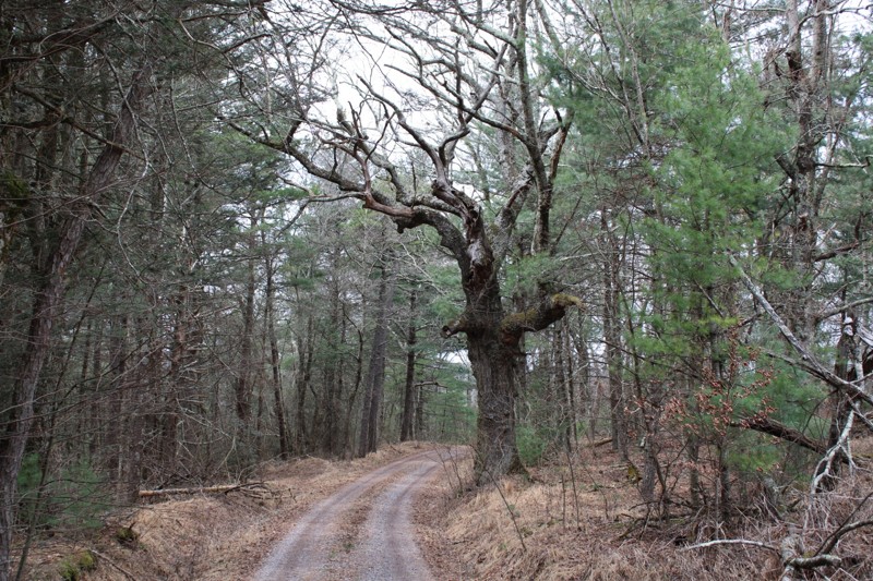
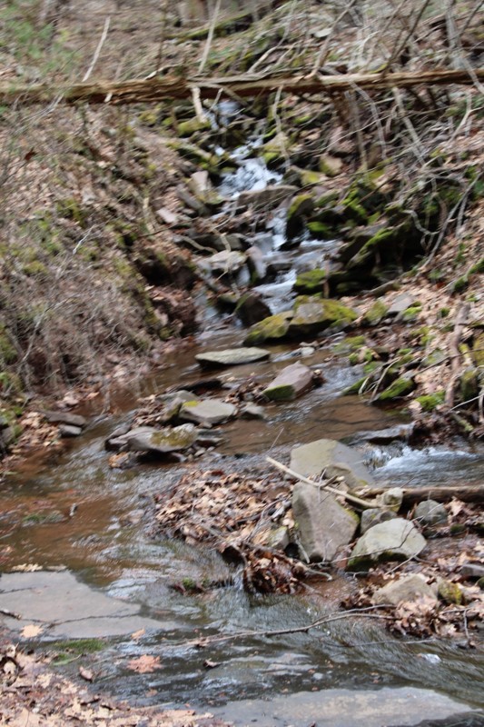
Mostly easy. Some snow still in spots but you can easily pass . Very scenic.
NJ
Neil Johnson
Rated 4/5
Open
Visited: 02/20/2026
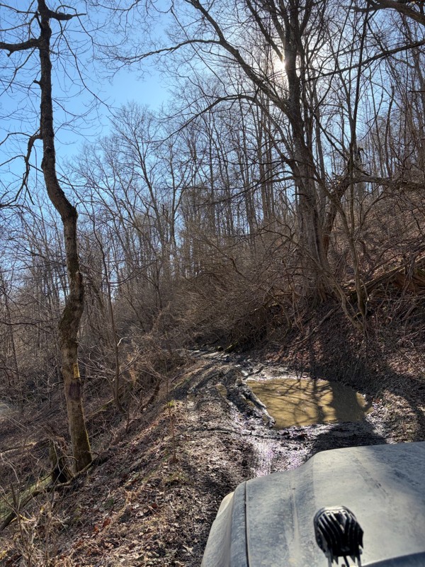
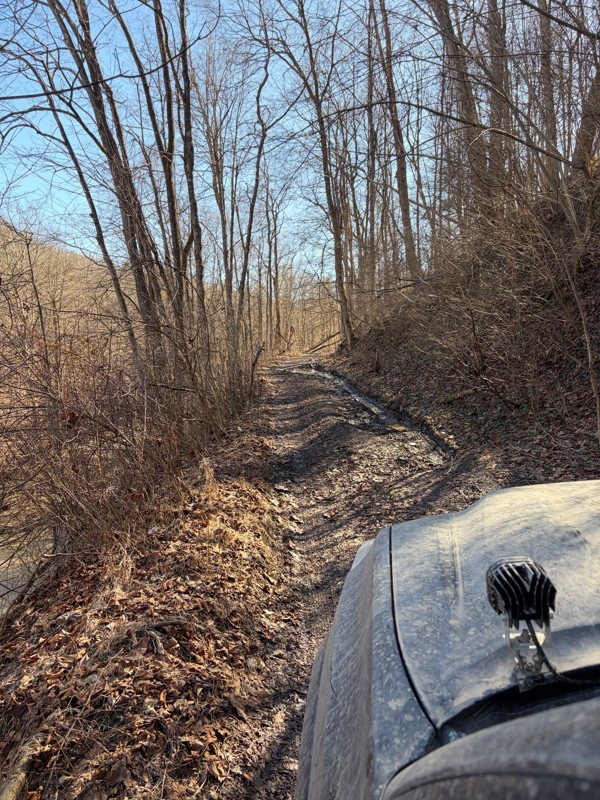
The first half of the trail was super well maintained and a lot of fun! Got to the bridge and turned around (in very poor shape). Apparently the gate no longer opens, so you have to turn around half w...
BS
Billy Smith
No Rating
Seasonal Closure
Visited: 02/15/2026
According to this trails management agency, the trail is likely closed for the season.
You can reach out to the agency for more details.
Be sure to leave us a report and let us know ...
Trails Offroad
Official Crew
No Rating
Temporary Closure
Visited: 11/19/2025
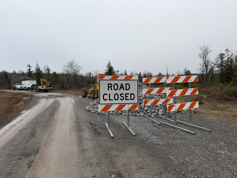
Missed the first sign at the entrance and came across a barrier and grading crew, stopped and spoke with them and they confirmed it is closed while they regrade and install fresh gravel. No ETA for co...
TT
Tripp Tapp
No Rating
Open
Visited: 11/16/2025
awesome trail. very new to offroading so this one made me a little nervous. my jeep is stock still. no lift on 33's. large ruts and a few deep mud holes but the jeep handled it like a champ. you'l...
WM
William Mitchell
No Rating
Open
Visited: 11/16/2025
so im very new to offroading. did not see a mudhole. got past the forst house that says to leave. right past it on the left is another little shanty. still on gravel. get to top of hill. can go ri...
WM
William Mitchell
Rated 5/5
Open
Visited: 11/06/2025
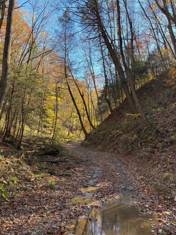
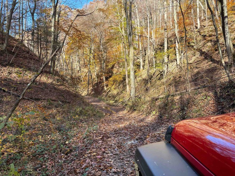
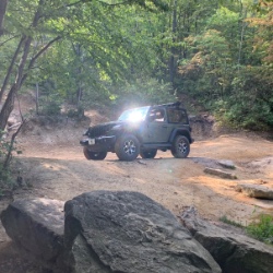
Took this down from the river overlook. Started off easy, but once you start going downhill in earnest, you gotta start paying more attention. It was easy today under dry conditions, but I could see i...
Chris Warner
Rated 5/5
Open
Visited: 11/06/2025
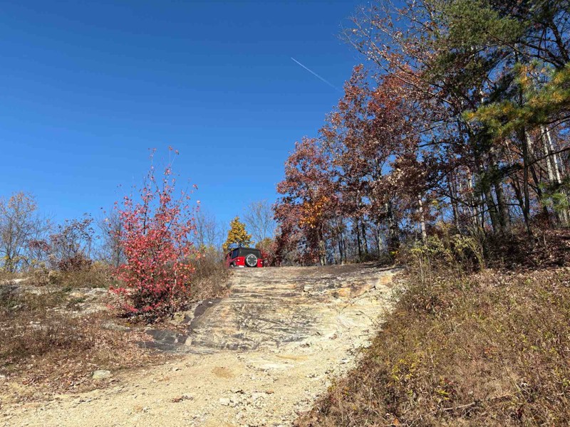
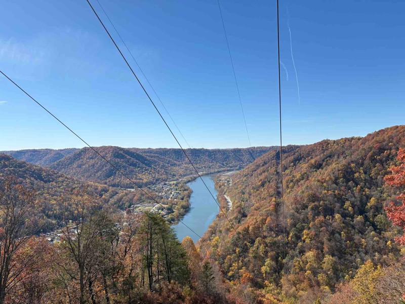
Fantastic trail! Had a great time. Most of it is pretty easy, but it gets a little more difficult towards the end at the overlook as already described. Went in my stock JLU, had no problems at all, ev...
Chris Warner
Rated 5/5
Open
Visited: 11/06/2025
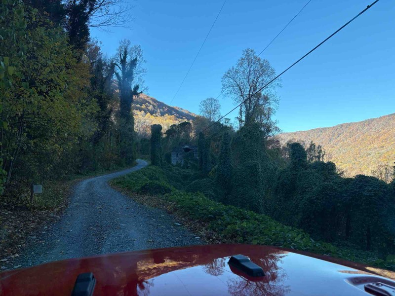
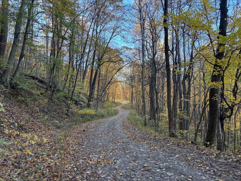
Biggest comment to make - the boulder is gone! Went to this trail expecting it, but they’ve obviously cleared it out (I think I took a pic of where it used to be). Otherwise, it was a nice, easy trail...
Chris Warner
No Rating
Open
Visited: 11/03/2025
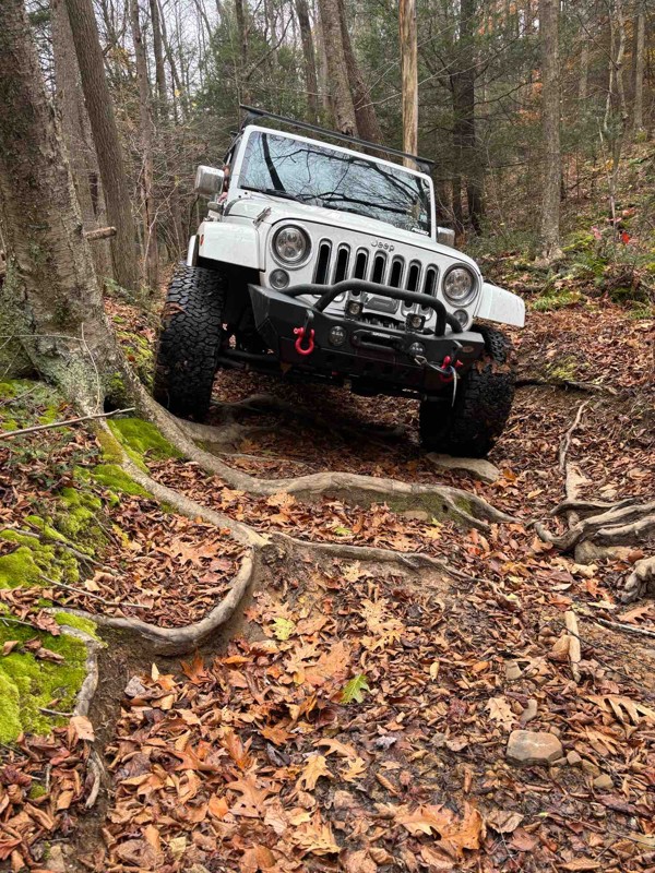
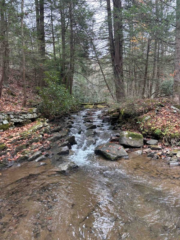
Amazing trail. A bit technical and rough, but overall a super fun trail. We had to remove a large tree from the trail, but no big deal.
JB
jason best
AE
Aaron E Lasure
Rated 4/5
Open
Visited: 09/11/2025
I ran this clockwise, coming in just south of Davis, WV. Most of the trail is just a gravel road with a handful of dispersed campsites. The difficult section is about 2/3 the way around if doing it th...
Peter Dougherty
Rated 5/5
Open
Visited: 09/11/2025
Very easy but enjoyable trail combo. The easy climbs necessary to get to it are even more fun. Not listed here is trail #29, which was more challenging than these two and definitely earning the blue r...
Peter Dougherty
Rated 4/5
Open
Visited: 09/11/2025
I ran this east to west, and as of September 2025 there is a second washout a bit further west, at 39.11227, -79.57259. Nothing extreme, but care is needed. The main washout further east isn't particu...
Peter Dougherty
No Rating
Open
Visited: 08/18/2025
Did the trail starting from Blackwater Falls State Park. Went about 4.7 miles at which point there is a turn around area and the trail turns into an easy graded dirt road. Reversed course at that poin...
MS
Marvin Smith
Rated 5/5
Open
Visited: 08/01/2025
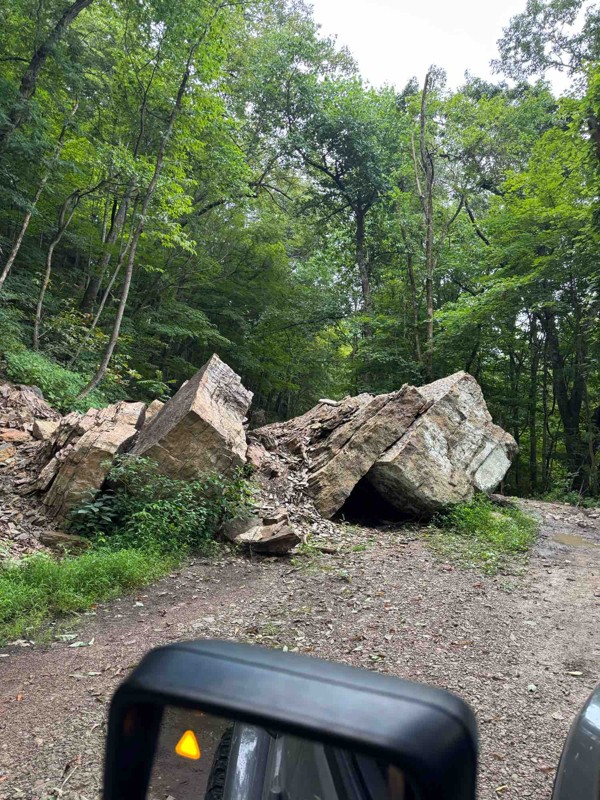
Fun, relaxing trail. It had recently rained so the ruts had standing water, but nothing that came close to requiring 4WD. The fallen boulder was easy to navigate around. The tree canopy, rock faces, a...
RS
Ryan Spitznagel
No Rating
Open
Visited: 06/28/2025
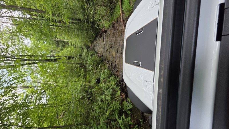
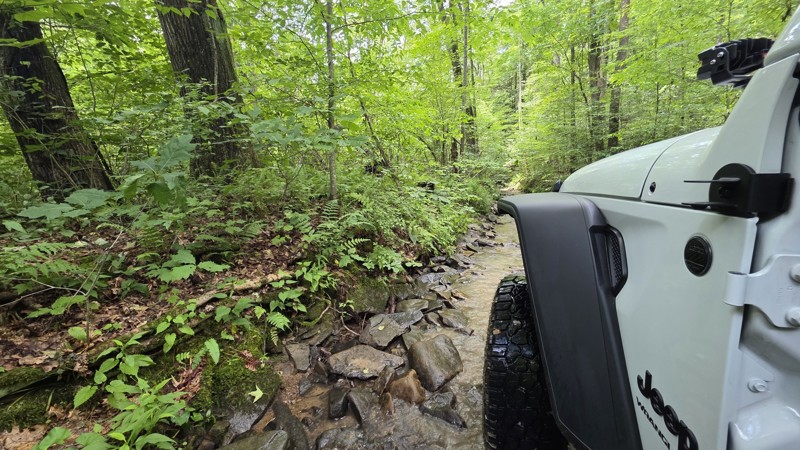
This is Peddler's Glory Rd (not Pedlar's Run). Beautiful trail. The description is accurate. Lots of rocky creekbed to crawl along. I had to use 3 of the bypasses due to large drops that I might have ...
Robert Barnett
Rated 4/5
Partially Open
Visited: 06/15/2025
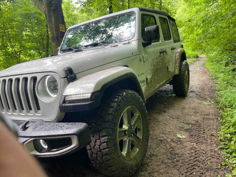
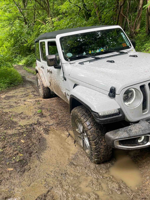
Part of the trail is closed which leaves the bridge as the only way across. I definitely wouldn’t try the bridge as the beams are rusted through and the slats are essentially rotted.
I did come at t...
SF
Spencer Flanagan
Rated 5/5
Open
Visited: 06/05/2025
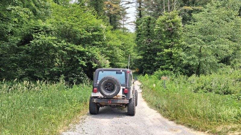
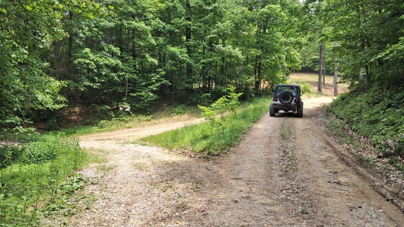
It is a short Trail. It does offer beautiful views of the landscape as well as local wildlife. It's a nice spot to take the kids for a little nature hike. And offers a few spots for picnics along th...
Joseph Sandy
No Rating
Open
Visited: 05/04/2025
No joke about the pinstriping, but the trail is super cool. Quite rocky in the second half. There was a lot rain this morning and the puddles were full and the streams were rushing. Stock Ranger Rapt...
PN
Paul Neureiter
Rated 4/5
Open
Visited: 04/21/2025
Very peaceful drive along the West Fork Greenbrier. Lots of fishing spots, but only a few of the campsites looked very desirable. I enjoyed it!
JJ
Justin J
Rated 3/5
Partially Open
Visited: 04/18/2025
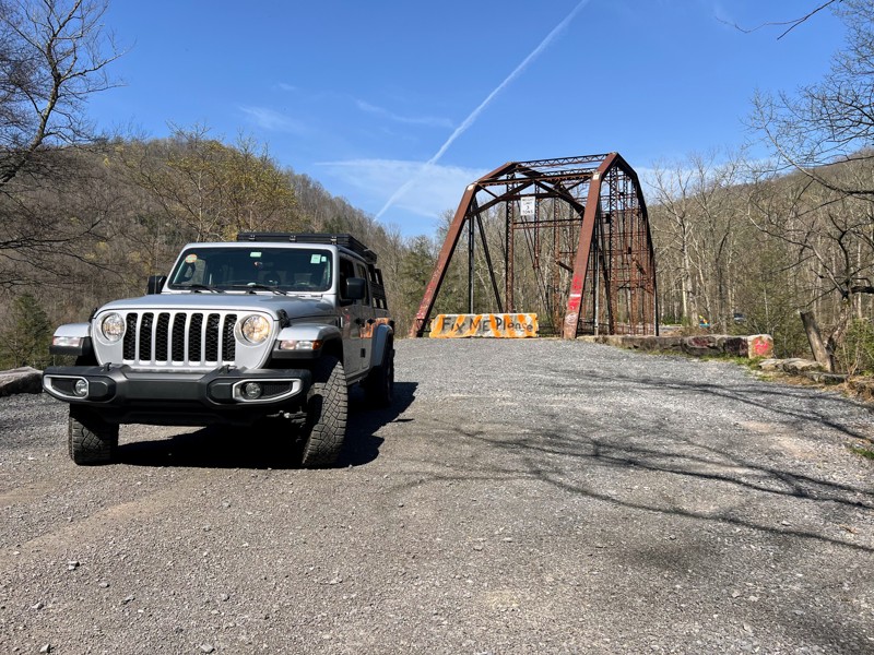
Trail is in good shape coming from the bull run side, but the scenic Bridge over the cheat river is permanently closed as of recent. Concrete barriers block off the bridge to vehicle traffic after its...
N
Nathan
Rated 2/5
Open
Visited: 04/17/2025
Family friendly gravel road with one rock stepper section. Stock vehicles can make the whole drive.

Andrew Spade
Rated 3/5
Partially Open
Visited: 04/17/2025
Not terrible. A lot of gates preventing any wheeling other than straight through. A nice smooth ride on a back road.
Andrew Spade
Rated 5/5
Open
Visited: 03/28/2025
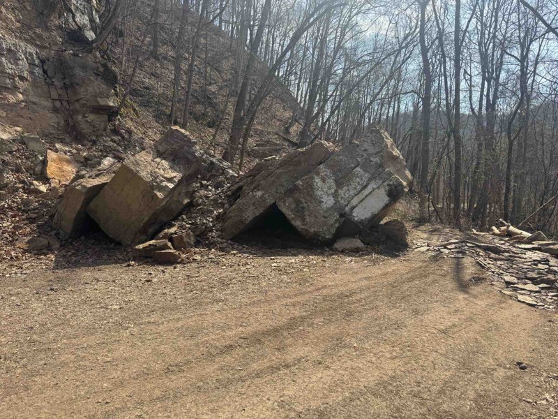
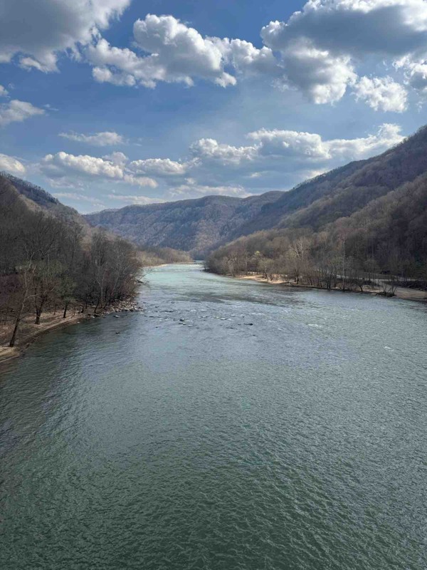
Easy trail fallen rocks in middle is only difficult part. Tree company was out there cutting back trees. Great trail to enjoy nature
Shark Bait Jeep
Rated 5/5
Open
Visited: 03/26/2025
Trail is a good 4. there's another wash out where they put a culvert in. Not real bad to maneuver around. I went through with ease on the whole trail. But it is rougher than it was before winter. Awes...
Joseph Sandy
Rated 5/5
Open
Visited: 03/08/2025
I agree with the rating. Right now the trail is ROUGH and freshly snow covered. There are some big holes and some pretty good washouts you have to be mindful of. I suspect the heavy rain last month in...

Ryan Boudreau
Official Crew
Rated 5/5
Open
Visited: 03/08/2025
Great scenic trail to connect with a whole series of other trails
Ryan Boudreau
Official Crew
Rated 5/5
Open
Visited: 03/08/2025
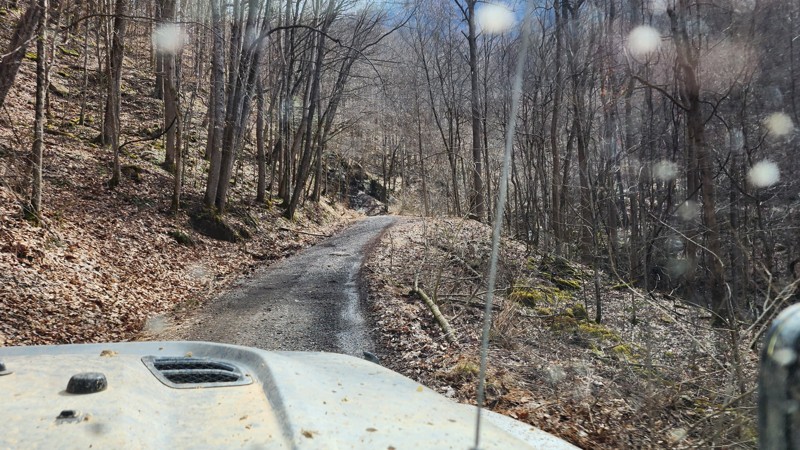
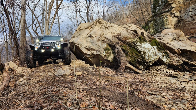
There is a brand new rock slide on the southern end of the trail which almost completely blocks the road. To get around, you are forced right up to the edge of the road. It's not hard, but could be sk...
Ryan Boudreau
Official Crew
Rated 3/5
Open
Visited: 03/08/2025
Fine road, nothing too special. Just a simple connector.
Ryan Boudreau
Official Crew
Rated 4/5
Open
Visited: 03/08/2025
Easy road. It is open with a little bit of snow currently on the ground. Should melt fast with Temps this week.
Ryan Boudreau
Official Crew
Rated 5/5
Open
Visited: 03/08/2025
This road is SO cool! Great scenic cruise along the creek with some cool rock walls to drive next to. it is a bit tight in so areas if you run into oncoming traffic.
Ryan Boudreau
Official Crew
Rated 5/5
Open
Visited: 03/08/2025
Cool scenic stretch of trail to stitch together with others.
Ryan Boudreau
Official Crew
Rated 5/5
Open
Visited: 03/08/2025
This trail is far harder than the 2 rating. And we were in a highly capable jeep on 40s. It is extremely rough with deep holes and rocks that most stock high clearance vehicles are going to have issue...
Ryan Boudreau
Official Crew
No Rating
Seasonal Closure
Visited: 02/15/2025
According to this trails management agency, the trail is likely closed for the season.
You can reach out to the agency for more details.
Be sure to leave us a report and let us know ...
Trails Offroad
Official Crew
Rated 1/5
Temporary Closure
Visited: 10/27/2024
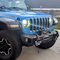
Sadly, this trail didn´t last very long, We went east to west and quickly found it turned into a gravel road and a short distance later, it was posted ¨Road Closed.¨ It appears a logging company has...
Dan Wilson
Rated 4/5
Open
Visited: 10/26/2024
I did this east to west. The washed out section looks challenging but it really isn't. Its a fun trail though.
CS
Charles Saftner
Rated 5/5
Open
Visited: 10/26/2024
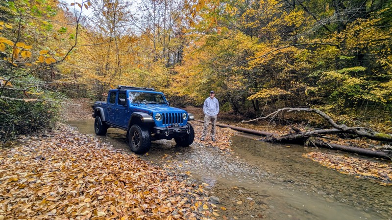
The trail was in excellent shape with gorgeous fall colors on full display. There wasn´t as much water as should be normal due to recent drought conditions, but there still were plenty of crossings t...
Dan Wilson
Rated 4/5
Open
Visited: 10/12/2024
I did this west to east, or CCW. Its a fun trail but a little tight in spots. The end, or eastern section, is just a gravel road so this is a lot shorter than it looks on the map.
CS
Charles Saftner
No Rating
Open
Visited: 09/21/2024
Did the trail for the second time this year. Started at the Blackwater Falls State Park drove the trail and then turned around and drove it again coming from the other end. Surprisingly for a Saturday...
MS
Marvin Smith
C
Colin
No Rating
Open
Visited: 08/18/2024
Trail is open. Notify the office if any tree clearing needs to take place. They are not great at patrolling all the trails for tree clearing.
Ryan Boudreau
Official Crew
Rated 5/5
Open
Visited: 08/17/2024
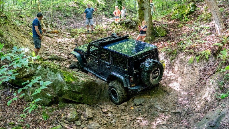
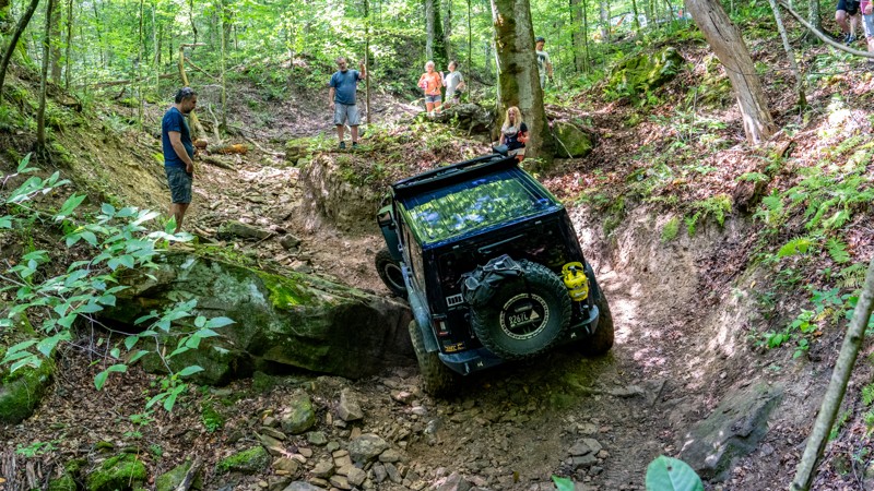
Trail was extremely rough on our group today. 7 rigs attempted it. First one on 40s made it through after some struggles. 2nd had a rear locker failure and couldn't make it past the first major obstac...
Ryan Boudreau
Official Crew
Rated 3/5
Open
Visited: 08/17/2024
Trail is in good condition. Very smooth, but yes steep in a few spots. It was dry and only needed 2wd. I don't doubt it would be more slippery if it was wet. But in regular conditions, easy.
Ryan Boudreau
Official Crew
Rated 3/5
Open
Visited: 08/17/2024
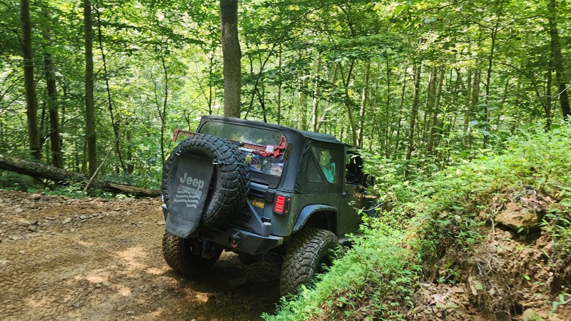
No different than the last time I was here. This trail is still an easy loop for any trail, but be aware that if you are in a group, there are not a lot of areas to pull out of the way for oncoming tr...
Ryan Boudreau
Official Crew
Most Popular


Updated: 05/14/2024
Bearwallow: Outer Green Loop
Open
/
Logan, West Virginia/
14.09 miles/
About 3 hours
Bearwallow is a network of trails in the Hatfield-McCoy trail system in West Virginia. Catering to full-size vehicles, it's no wonder it is part of the Jeep Badge of Honor list of trails. The Green Outer Loop includes five different trails and offers an excellent opportunity to test your 4x4 skills through a rollercoaster landscape of hill climbs and descents. If you are looking for more, the Green Outer Loop connects to a handful of the toughest offroad trails in the state. It's a perfect route for beginners and those looking for their Badges of Honor.

Updated: 03/14/2025
Canaan Loop Road
Open
/
Davis, West Virginia/
14.5 miles/
About 3 hours
Located near Thomas and Davis, Canaan Loop is situated in a wonderful area. Both towns feature a lovely atmosphere focused on outdoor recreation, with local shops, breweries, and restaurants. Blackwater Falls State Park has a wonderful selection of trails and waterfalls. Nearby, Dolly Sods contains plants and animals found nowhere else south of Canada. It truly is a nature lover's dream. Although many people experience the area by sticking to the towns and well-trod paths, being able to drive in and find a plethora of dispersed camping spots makes Canaan Loop a wonderful experience. It's easy to escape into nature while being close to amenities. From many of the campsites on the trail, Davis is less than 20 minutes away. Being able to leave a local brewery and be back at camp that quickly is a fantastic experience. The trail itself is absolutely beautiful, and weeks could be spent driving and stopping to explore the surrounding hiking trails, fishing spots, and nature viewing areas. Although it provides some measure of difficulty, it provides inexperienced drivers a beautiful place to test their skills.

Updated: 03/13/2025
Canyon Rim Road
Open
/
Parsons, West Virginia/
7.26 miles/
About 3 hours
Located in the Monongahela National Forest, Canyon Rim is nestled in some of the most spectacular wilderness in West Virginia. The higher elevations offer very special scenery full of unique plants and animals. Many people visit the area and stick to the state parks. While these are great, and it's nice to see the well-known places, it's even better to be away from the crowds. Canyon Rim doesn't see a lot of traffic, and it's a great escape. The area is great for the off-road community and the people they may be traveling with. The campsites are beautiful and secluded. There are hiking trails with creeks, forests, and waterfalls to explore. With few people coming through and plenty to explore, it's a great place to take your dog.

Updated: 05/09/2023
Bull Run Road
Masontown, West Virginia
Thirty minutes from Morgantown, WV, Bull Run Road has been a popular recreation area for years. The most notable area surrounds the Jenkinsburg bridge at the confluence of the Cheat River and Big Sandy Creek. Built by the Canton Bridge Company in 1912, it's an example of a unique design known as pin-connected Pennsylvania through-truss.
The trail to the bridge is beautiful year-round. There is something in every season. From the changing colors of fall to the pristine whites of winter, the new spring growth, and the vibrant greens of summer, it's difficult to choose a favorite. The optional section close to the bridge is always wet if you enjoy "mudding." Getting to the beach is possible year-round except in heavy snowfall. This part of the trail provides more of the "off-road" experience than other sections, which can be accessed by nearly any vehicle.
In 2020, the West Virginia Land Trust purchased the land surrounding the bridge, and it is managed in partnership with the Friends of the Cheat. The area had previously been abused by many weekend parties, but the area is now kept in pristine condition. The site features many dispersed campsites and river access for swimming, kayaking, and fishing. Nearby, visitors can explore the Cheat Canyon Wildlife Management Area and the Allegheny Trail, West Virginia's longest hiking trail at 330 miles.
Pets and children will enjoy the water and trails. For a more family-friendly and less crowded atmosphere, stick to weekdays and non-holiday weekends. If you want to meet people in the area, weekends are a great time as West Virginians are known for their friendliness.

Updated: 09/30/2023
Richford Road
Harman, West Virginia
Deep in the heart of "Wild West Virginia" lies the Monongahela National Forest, with hundreds of miles of roads and trails to explore. Richford Road, without a doubt, has the longest and deepest river crossing! Fording the poorly named Dry Fork of the Cheat River is an adventure. This is a great area for dispersed camping as well as fishing for native and stocked trout.

Updated: 06/05/2022
Little Indian Creek
Temporary Closure
/
Morgantown, West Virginia/
2.3 miles/
About 2 hours
Little Indian Creek is close to Morgantown, West Virginia, making it an excellent trip for those visiting the area or locals looking to get outside without traveling far. The area is typically wet and muddy, with ample opportunity to play in the creek. Most sites are firm bottomed, but the mud pits along the detour at Waypoint 7 are soft and deep with highly uneven bottoms. Be careful of tipping and bring recovery gear.
Driving through Little Indian Creek Wildlife Management Area provides plenty of opportunities to explore nature. At over 1000 acres, there is a variety of habitats, making it a prime location in the area for birdwatching. Pets and children will love to explore the creek. The space is open to hunting, so be cautious during the season and wear high visibility clothing when out of your vehicle.

Updated: 05/24/2024
Pedlar Run
Terra Alta, West Virginia
Pedlars Run is nestled in a beautiful eastern forest in Terra Alta, West Virginia. With Deep Creek Lake, Swallow Falls State Park, Cranesville Swamp, and Garrett National Forest all within a 40-minute drive, there is no shortage of things to do for the nature lover. If you're feeling parched after a long day on the trail, High Ground Brewing is only a few miles from the trail and features some of the best beer in the state.
As you travel through, you'll be struck by the lush green landscapes that West Virginia is known for. No matter what landscapes you call home, it's impossible not to be impressed. In the spring, ephemeral wildflowers fill the surrounding forest. Although often overlooked, the fall colors in West Virginia are among the best. If you like to hit the trails with a group, the various lines offer something for all vehicle types and drivers. There are plenty of opportunities to hop out and explore the wildlife along the creek. Dogs may not enjoy the rough trail, but many kids and dogs will also love exploring the beautiful area surrounding this trail.


Updated: 02/28/2026
McKendree Road
Thurmond, West Virginia
Traveling through West Virginia's only national park and the country's newest national park, McKendree Road is a cliff-hugging rough and rugged, narrow road that travels along the eastern banks of the New River Gorge, connecting the towns of Thurmond and Prince. This is a straight-through, 13-mile trek that begins along a hard-packed gravel road. Once crossing the Stonecliff Bridge, the road narrows to 1.5 vehicles wide and pounds across an untold number of potholes with spectacular views down to the river. Past the old town of Thayer, which offers awesome picnic and camping opportunities next to the river, the road becomes extremely narrow along the cliff edge with long stretches where passing is impossible, and pinstriping is guaranteed. Small creeks and shaded coves within the gorge produce picturesque waterfalls. The road conditions become rougher with small rocks, shallow mud holes, and eroded embankments until your final descent down Stretchers Neck to Highway 41.
This road is best suited for high clearance SUVs and pickup trucks and drivers with previous off-road experience.
Three primitive New River Gorge National Park campgrounds sit along McKendree Road, including Stone Cliff, Thayer, and Army Camp. Most of the sites within those campgrounds are walk-in only. Backcountry camping is allowed within the park as long as you stay more than 100 feet from state roads, parking lots, developed trails, trailheads, boat launch areas, etc.

Updated: 11/27/2023
Panther Mountain Road
Lockwood, West Virginia
Located one hour east of Charleston and traveling through the Gauley River National Recreation Area, Panther Mountain is a great road filled with picturesque moments that will leave your camera crying for more memory. This road is well-traveled and used by many outdoor enthusiasts. The road offers several access points to the world-renowned Gauley River, where you can partake in or watch numerous water activities. Panther Mountain also passes multiple hiking trails and astonishing waterfalls. If you are looking for an outdoor adventure, a great fall color drive, or an incredible lunch spot, Panther Mountain definitely has everything you are looking for.

Updated: 05/14/2024
Bearwallow 23 & 25
Open
/
Logan, West Virginia/
3.78 miles/
About an hour
Trails 23 and 25 are a nice reprieve and a hideaway from other areas of Bearwallow. They allow you to escape narrow roads and feel secluded amongst the trees and imposing rock structures while being lower on the mountain. As a bonus, these trails provide a glimpse into how auger mining takes place.

Updated: 10/15/2024
Beury Mountain Road
Maplewood, West Virginia
Located in central Fayette County, Beury Mountain Road is a twisting and winding gravel road that weaves through oak and hickory forests in the highlands east of New River Gorge. This road passes through the Buery Mountain Wildlife Management Area, connecting the towns of Maplewood and Thurmond. The road is an easy gravel road, one to two vehicles wide the entire way, with plenty of passing opportunities. The road's western end descends down the hillside rather quickly, losing 860' of elevation in 3 miles. You'll make your way through three tight switchbacks before ending at the historic coal town of Thurmond, which boasts only 5 year-round residents. Camping is prohibited in the management area but can be found nearby in the Babcock State Park and the national river area. This road is suitable for any stock SUV or pickup truck.

Updated: 04/23/2024
Russel's Run
Blacksville, West Virginia
Located in western Monongalia County, Russel's Run is nestled in the Appalachian Mountains. Driving to the trail, you'll pass by rural churches, coal mines, and farms that are all very emblematic of the area and the people who live here. The trail is excellent for beginners to test their vehicles and see the beauty of West Virginia's forests. The trail is tight at times, and you'll feel nestled into the mountains with dense tree coverage on all sides.
Updated: 08/12/2025
Cabwaylingo 29
Open
/
Missouri Branch, West Virginia/
1.88 miles/
About 30 minutes
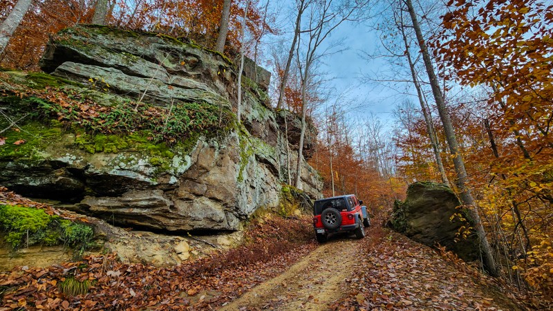
Winding through the heart of Cabwaylingo State Forest, Trail 29 is a short but rugged backway to Tick Ridge Campground that packs in more scenery than many longer rides. Don’t let its “green” Hatfield-McCoy rating fool you. This is a narrow, rocky climb with sandstone-lined corridors that demand a slower pace, giving you time to soak in towering rock formations, mossy ledges, and some of the best views in the trail system. For campers or explorers looking for a quick yet adventurous route, this little stretch delivers big rewards.

Updated: 08/18/2024
Bearwallow 76: The Cooler
Open
/
Logan, West Virginia/
0.44 miles/
About 30 minutes
Perhaps the "coolest" trail in the entire state of West Virginia. The Cooler gets its name from a natural vent that blows cold air out into the open. Its blast is potent enough to call it the most powerful air conditioner you have ever witnessed. The vent is right where the fun begins on the trail, just before you tackle obstacle after obstacle to reach the top.

Updated: 10/29/2024
Bowls Creek
Swiss, West Virginia
Located just east of Swiss, in Nicholas County, Bowls Creek is a hard-core rock crawling trail with endless obstacles and options suitable for any type of build. You'll traverse large boulders, waterfalls, downed timber, and deep water holes while trying your best to stay in the creek as much as possible. With many entry and exit points, this trail makes for a great group run where everyone can decide how much they want to push their limits.

Updated: 06/05/2022
Dolls Run
Blacksville, West Virginia
Located in western Monongalia County, 40 minutes from Morgantown, Doll's Run is a fun trail nestled in the Appalachian Mountains. On the drive there, you'll instantly get a feeling for the area. The area is entirely rural, consisting of dispersed homes, farmland, and large tracts of vacant land. Like many trails in Monongalia county, Doll's Run is an unmaintained public road built to connect communities that arose when the timber and coal industries brought people to the area.
For most people, other iconic areas overshadow this part of West Virginia. However, you'll find beauty and fun here if you work a little. While mine and timber industries altered much of the landscape, there are amazing surprises to be had. Cerulean warblers, challenging to see at the best of times, can be seen in the summer.
Lacking the expansive landscapes of the west does nothing to diminish the feeling of escaping into nature. You're never extremely far from homes or main roads, but the thick growth in these forests gives the impression of being in the middle of nowhere. Although the trail is not long by most standards, that makes it a great excursion if you need a quick getaway to recharge. You can also link other routes in the area for a full day of fun.

Updated: 06/05/2022
Gallagher Ridge
Blacksville, West Virginia
Located in western Monongalia County, 40 minutes from Morgantown, Graveyard Hill is a fun trail nestled in the Appalachian Mountains. Driving Gallagher Ridge, you'll instantly get a feeling for the area. The area is entirely rural, consisting of dispersed homes, farmland, and large tracts of vacant land. Like many trails in Monongalia county, this is an unmaintained public road built to connect communities that arose when the timber and coal industries brought people to the area. You aren't far from major roads, but you'll feel like you're on top of the world in the middle of nowhere.

Updated: 06/05/2022
Graveyard Hill
Blacksville, West Virginia
Graveyard Hill is full of mud, and anyone that hits the trails to put dirt on the tires won't be disappointed. However, it's all easy enough to get through, so it remains fun without being tedious. In an area with all four seasons, the trail never gets old. In the spring, the area begins to bloom. Summer welcomes dense tree coverage and a feeling of being nestled in. The fall foliage in October is as impressive as anywhere in the country. And if snow wheeling is up your alley, this trail is safe enough to ride.

Updated: 10/28/2024
Lilly Fork to Beech Fork
Avoca, West Virginia
Crossing between Clay County and Nicholas County, this off-road trail is a must-do if you enjoy water crossings. The trail is a straight-through, 17-mile-long trip that begins on Dundon Road just east of Clay, next to Buffalo Creek. The trail is rough and rugged with many cobble rock sections as it snakes its way through the hollows and begins following Lilly Fork. Around 5 miles in, the trail starts the first of nearly two-dozen water crossings, with several crossings being long stretches of driving up the creek. As you enter Nicholas County and begin following Beech Fork, the trail surface becomes very sandy outside the creek bed. Eventually, it becomes Twenty Mile Creek Road before intersecting with County Road 19/8.
Lodging and camping are available at the J.G. Bradley Campground & Lodge on the west end, just outside Clay. No camping along the trail exists, but this is an excellent overland alternative to the paved county roads between Clay and Summersville. The road is suitable for any high clearance SUV or pickup truck. Take caution during heavy rain events, as water levels can rise to several feet deep.

Updated: 06/05/2022
Mount Harmony
Blacksville, West Virginia
Located in western Monongalia County, much of the land is a mixture of old strip mines, forest, and farmland. Because of this, there are many primitive and unmaintained county roads to explore. Mount Harmony is a great place to escape to the forest and get mud on the tires. Offering a little bit of challenge for a new driver without being dangerous, this is a fun trail for all. For the more experienced, this is a great place to explore areas that you've never seen. Being a rural state, West Virginia has plenty of places where you can quickly and easily escape into nature. With other trails nearby, you can also make a day of hitting numerous short trails for a long day of fun!

Updated: 06/05/2022
Robinson Run
Blacksville, West Virginia
Located in western Monongalia County, 40 minutes from Morgantown, Robinson Run is a fun trail nestled in the Appalachian Mountains. On the drive there, you'll instantly get a feeling for the area. The area is entirely rural, consisting of dispersed homes, farmland, and large tracts of vacant land. Like many trails in Monongalia county, this is an unmaintained public road built to connect communities that arose when the timber and coal industries brought people to the area. Connecting to Doll's Run there is a lot to explore here.

Updated: 05/14/2024
Bearwallow 45: Deadfall
Open
/
Logan, West Virginia/
0.63 miles/
About 30 minutes
Deadfall in Bearwallow is an aptly named most difficult double trail. The trail wraps around and through a gully with dead and fallen timber overhead, down on the ground, and all around you. If you enjoy driving under timber that once stood tall, this is your kind of trail. The short but steep loose hill climb will surely give you a moment to remember!

Updated: 06/05/2022
Peter Eddy Trail
Blacksville, West Virginia
Located in western Monongalia County, much of the land is a mixture of old strip mines, forest, and farmland. Because of this, there are many primitive and unmaintained county roads to explore. This is a great place to escape into the forest and get some mud on the tires. There are some tight spots that can be fun weaving through trees but full-width vehicles could have issues and likely pinstriping. If you drive the trail from east to west, the muddiest parts will be going uphill to provide a bit more challenge.
The trail is relatively short but there are many similar trails nearby, such as Dolls Run. By linking some of these up, you can easily make a day of it and see spots in the area that most people don't even know about. Or, if you're just passing through or visiting Morgantown, it's a great short excursion if you don't have time for a longer trail.

Updated: 10/15/2024
Bearwallow 73: Purgatory
Ethel, West Virginia
Bearwallow 73, within the Hatfield-McCoy Trails System, is a hardcore rock crawler's dream trail. The first two hundred yards of this trail appear to be just another boulder-filled ravine, but that is only a tease of what lies ahead. As you make your way up a narrow ravine between trails 44 and 26, the rocks and boulders slowly increase in size until you finally encounter a formidable obstacle with car-sized boulders sure to challenge even the biggest 4x4s. After weaving through these enormous rock features, you will next encounter an extremely steep, loose, and dugout hill climb determined to keep you from conquering this obstacle, by adding a surprise 3-foot ledge midway up the hill. Hatfield-McCoy Trails are open 365 days a year, from sunup to sundown. Permits are required for all operators and passengers. Additionally, all drivers and passengers must wear a helmet on the trails. This includes full-size vehicles such as Jeeps.

Upgrade your Membership
Unlock all of the details on every Trail Guide and Scout Route.
Start a 7-day Free TrialBrowse Trails in West Virginia by City
Browse every West Virginia city with offroad trail guides.
Community
Partners

