Region

Grand Staircase-Escalante National Monument

Utah

Offroad Trails in Grand Staircase-Escalante National Monument

A Region within Utah
4.4/5 (198)

Grand Staircase–Escalante National Monument: Where the Desert Keeps Its Secrets

Overview

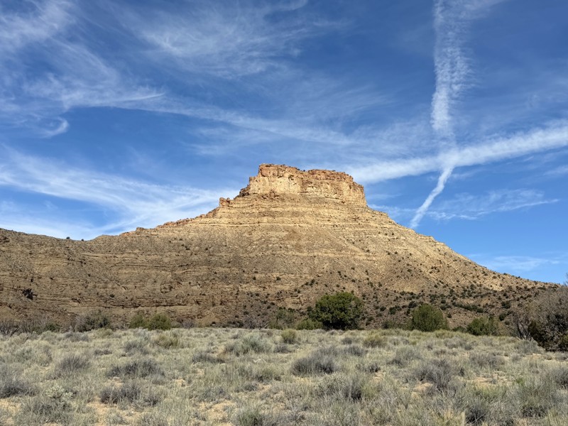
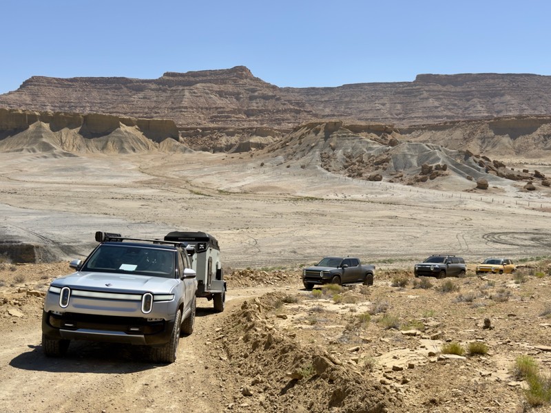
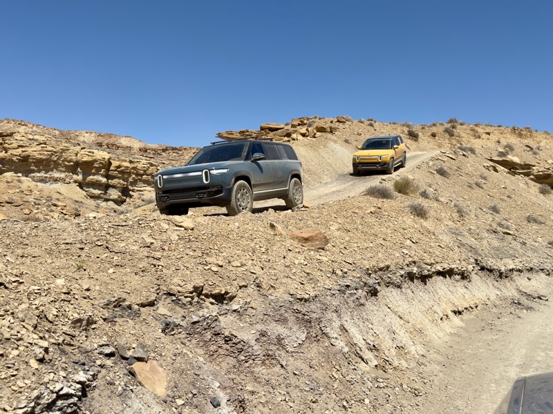
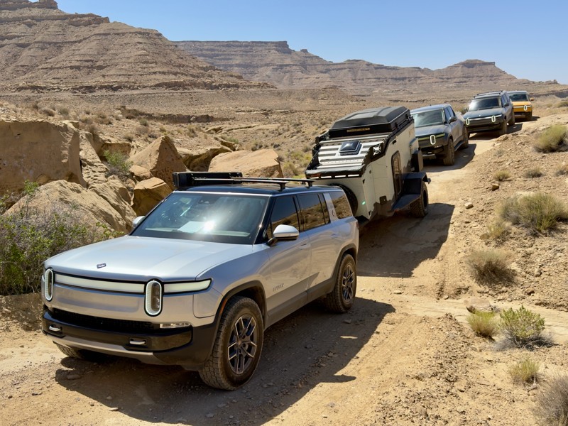
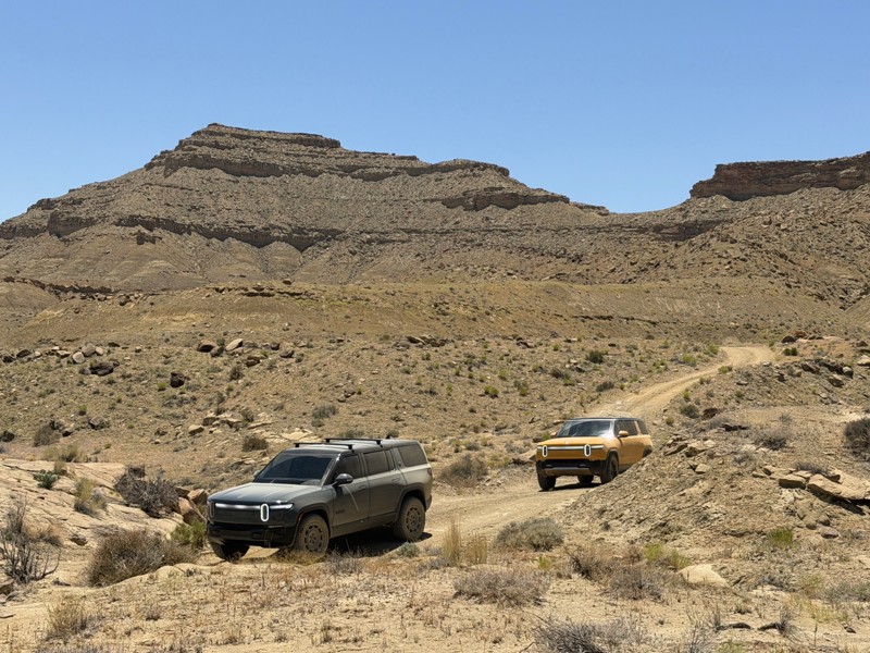
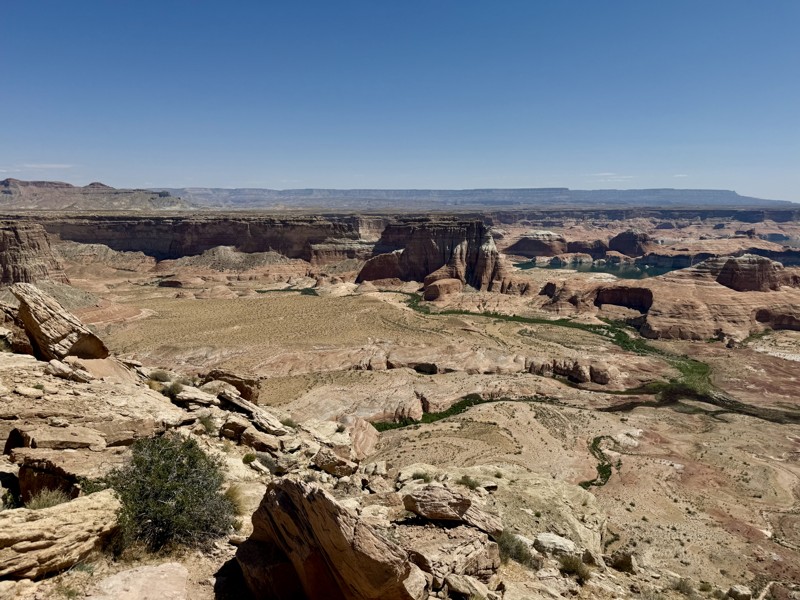
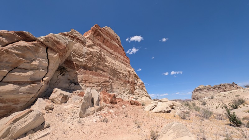
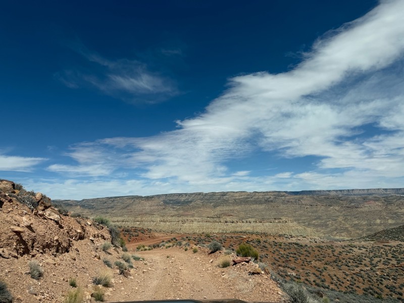
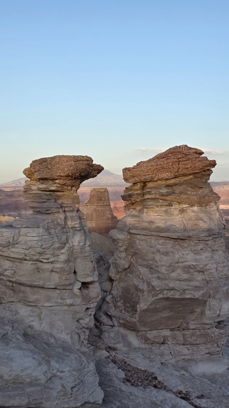
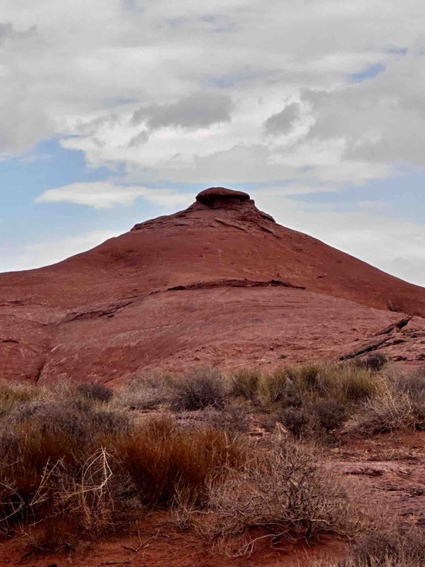
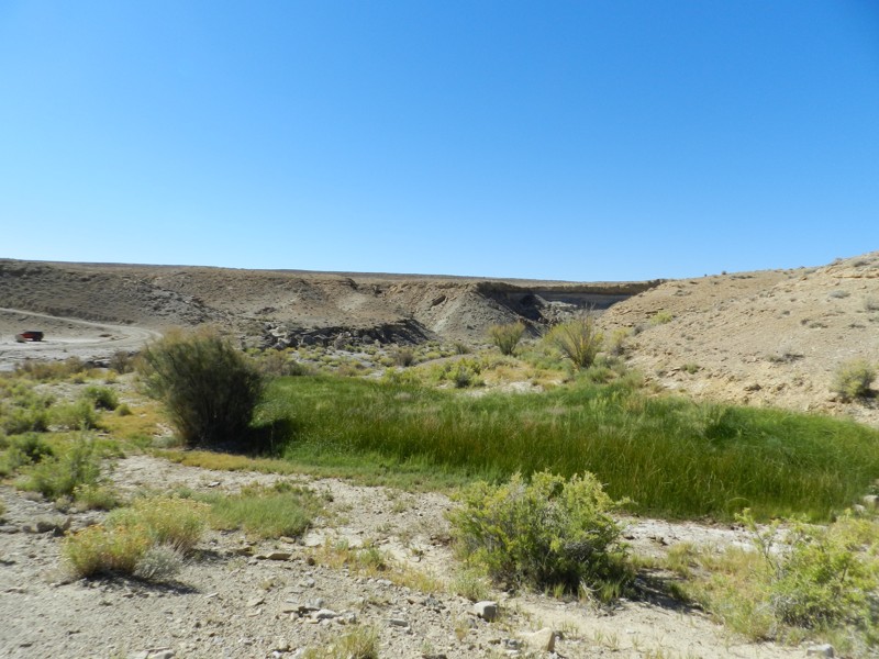
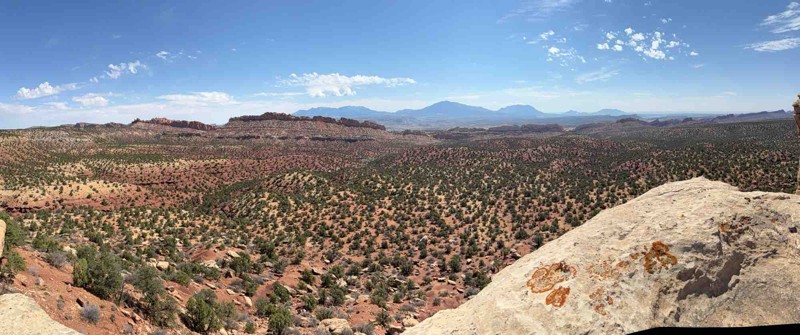
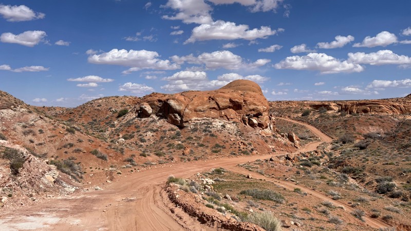
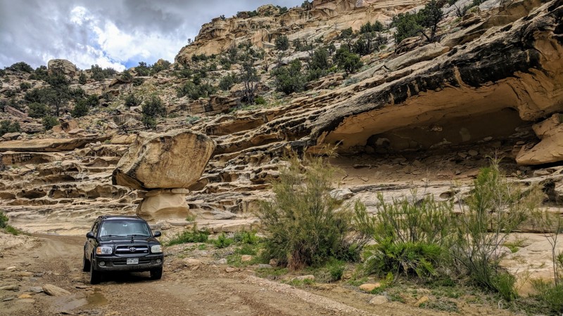
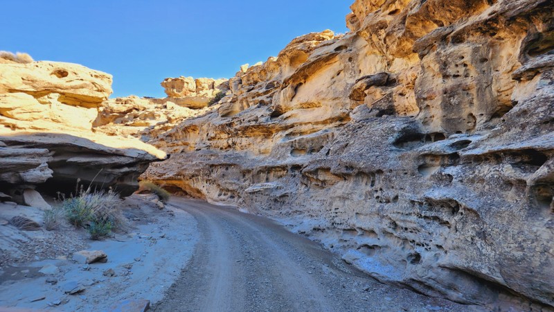
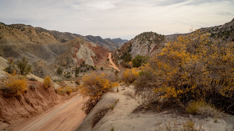
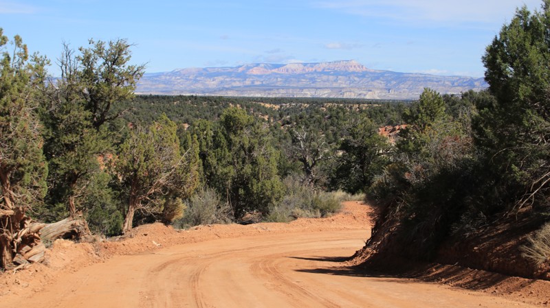
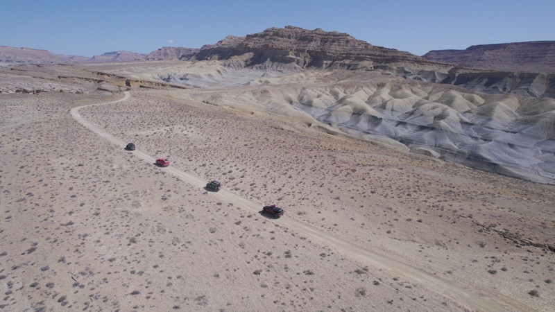
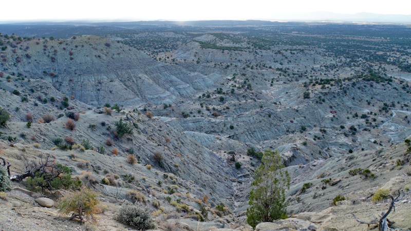
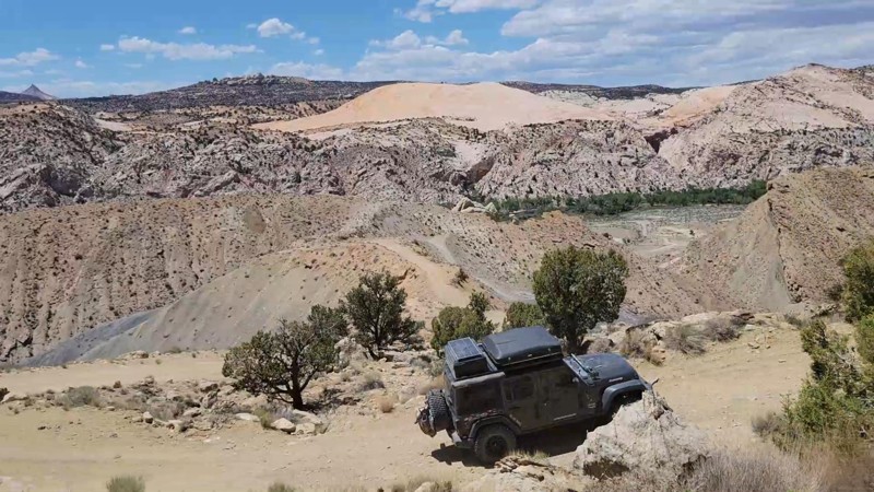
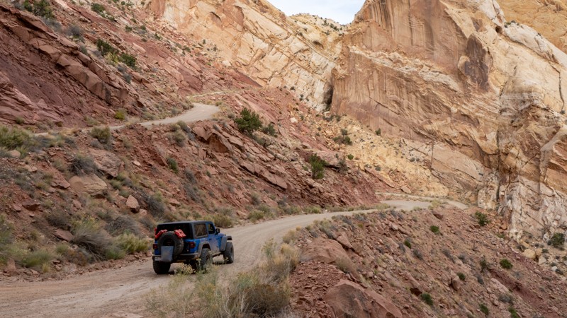
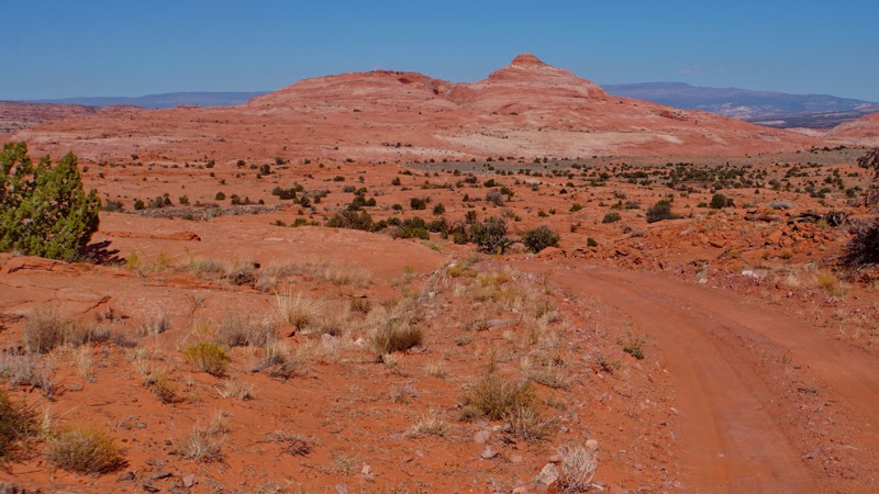
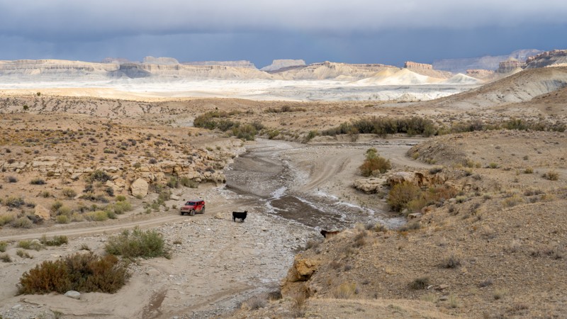
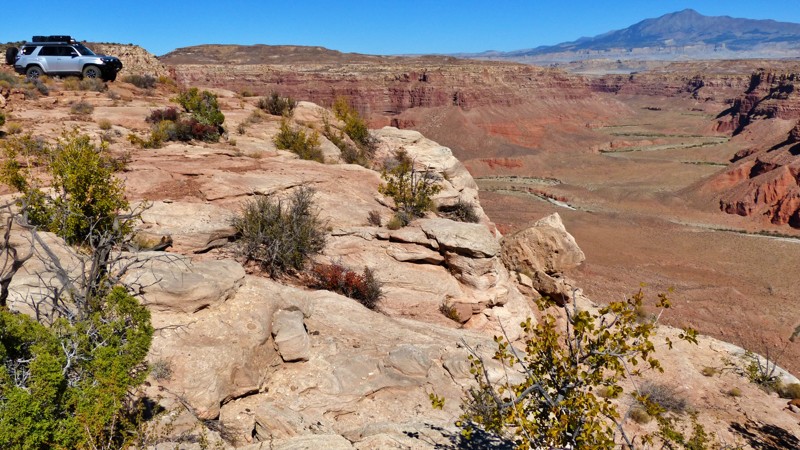
Grand Staircase–Escalante National Monument spans nearly one million acres of southern Utah canyon country. This vast wilderness of slickrock, slot canyons, and sandstone plateaus remains one of the most remote and least developed regions in the continental United States. Managed by the Bureau of Land Management, the monument protects a sweeping sequence of geologic “steps” stretching from the cliffs of Bryce Canyon to the desert rim of the Colorado River. It’s a land shaped by time, water, and solitude—where exploration feels raw and endless.

Getting There

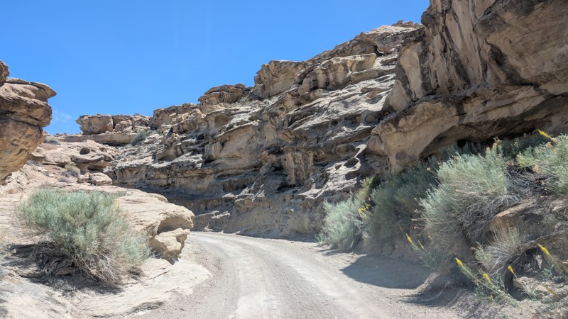
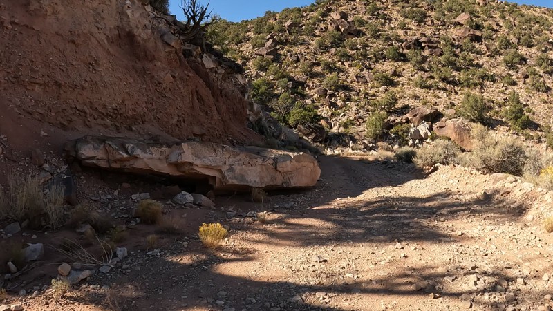
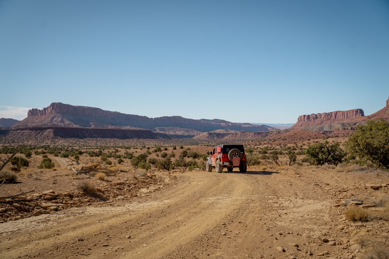
The monument is accessible from several small towns: Escalante and Boulder on Scenic Highway 12, Kanab to the south, and Big Water along Highway 89. Each provides fuel, food, and limited lodging before entering the monument’s backroads. Most major routes are graded dirt and can be traveled by high-clearance vehicles in dry conditions, but sudden storms can quickly make travel hazardous. Always check the weather and road conditions before setting out.

Trails

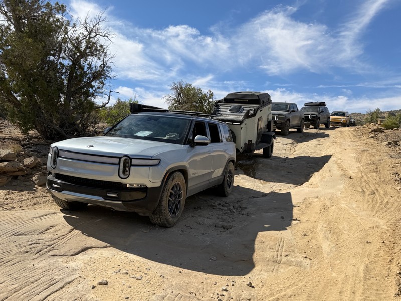
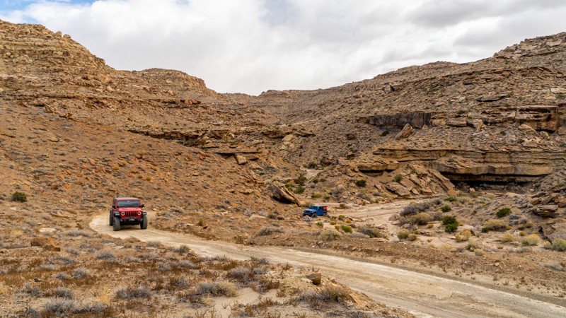
The network of primitive roads in Grand Staircase–Escalante offers some of the most rewarding overland routes in Utah. Each trail reveals a different character of the monument’s layered landscape:

  • Hole-in-the-Rock Road is the monument’s most famous backroad, leading deep into slickrock country with access to slot canyons like Peek-a-Boo and Spooky Gulch. The road follows the path of the original Mormon pioneers who carved their way toward the Colorado River in 1879.
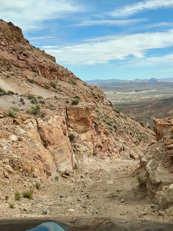
  • Smoky Mountain Road climbs from Big Water to Escalante across a stark, high-desert plateau with wide horizons and incredible geology. It’s remote, rough, and breathtaking, often requiring several hours to traverse.
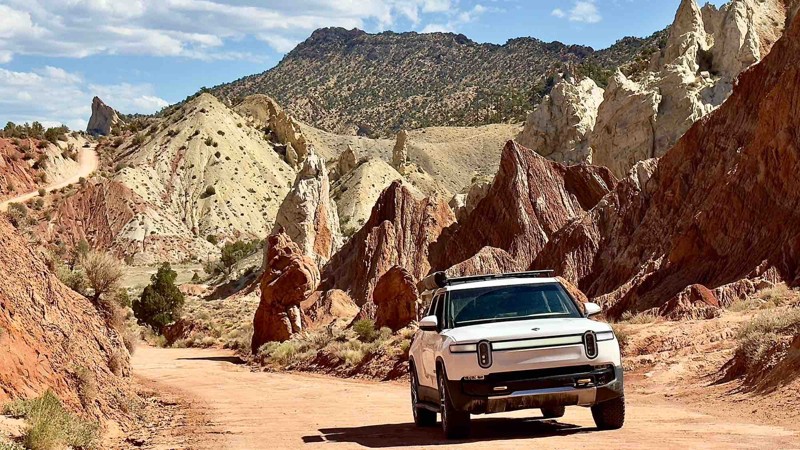
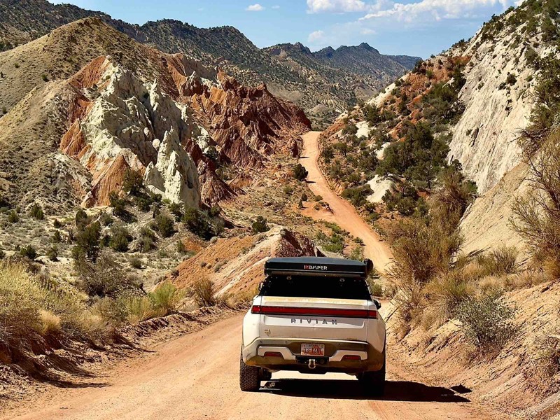
  • Cottonwood Canyon Road connects Highway 89 to Kodachrome Basin, winding through colorful badlands, hoodoos, and the striking Paria River canyon. It’s one of the most photogenic drives in southern Utah and passable in most dry conditions.
  • Burr Trail begins near Boulder and descends through the Waterpocket Fold, offering dramatic switchbacks, towering cliffs, and access to Capitol Reef’s remote southern reaches.

Camping

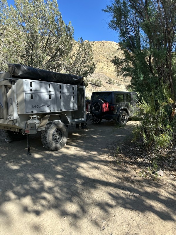
Dispersed camping is allowed throughout the monument, with hundreds of established pullouts and primitive sites along main routes. Sites are generally flat, scenic, and offer complete solitude, though no amenities are provided. Visitors should follow Leave No Trace principles—pack out all waste, minimize fire impact, and camp on previously disturbed surfaces. For those preferring developed facilities, campgrounds near Escalante, Boulder, and Kodachrome Basin State Park offer vault toilets and water.

Free permits are required for all overnight stays within Grand Staircase-Escalante National Monuments. You can get these permits at visitor centers or at developed trailheads. Additionally, certain high-traffic areas require special recreational permits, which are issued through a lottery system.

Wildlife & Seasons

Spring and fall are ideal seasons for travel, bringing mild days and cool nights. Summer heat can exceed 100°F, while flash floods and washed-out roads are common during the monsoon season. Wildlife sightings include desert bighorn sheep, mule deer, golden eagles, and the occasional coyote silhouetted against red rock at sunset. The quiet here is profound—broken only by wind and the echo of canyon wrens.

Nearby Attractions

Visitors can pair their trip with nearby destinations such as Bryce Canyon National Park, Capitol Reef National Park, or the Paria Rimrocks. Scenic Highway 12 itself is a world-class drive, linking many of these highlights while offering views of Escalante’s sweeping canyons and sandstone domes.

Why Visit

Grand Staircase–Escalante is for travelers who crave true wilderness and discovery. Its endless backroads, hidden canyons, and remote campsites reward patience and preparation. Here, exploration feels timeless—each mile unfolding a new layer of color, history, and silence. For those who value solitude, scale, and the spirit of the open desert, there’s no place quite like it.


Top Reasons to Explore Here

Basemaps
Go All-Access to Unlock


TRAILS OFFROAD™ TRAIL TYPES
Trail Guide
Full detailed write up with Advanced Rating System, Waypoints, Video, and more.
Scout Route
Lite version with highlights, camping, and hardest part documented. Vetted in person.
TRAIL DIFFICULTY RATINGS
easy (1-2)
Suitable for high clearance 2WD
moderate (3-4)
Best suited for a high clearance 4x4
difficult (5-6)
Best suited for a lightly modified 4x4
severe (7-8)
Best suited for a highly modified 4x4
extreme (9-10)
Best suited for specialized buggy type vehicles
LAYERS

Most Recent Trail Reviews

Most Popular

Search for Trails
Utah: Smoky Mountain Road Hero Photo
All-Access Icon
4.9/5 (28 reviews)
Updated: 01/14/2025

Smoky Mountain Road

Big Water, Utah

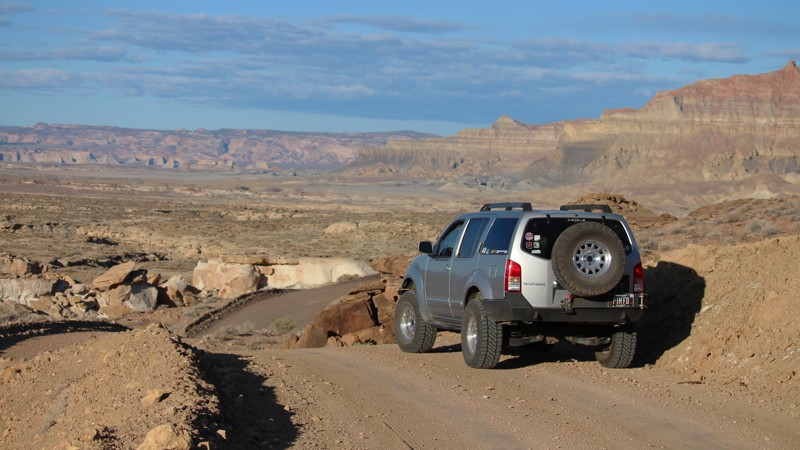
Have you ever wondered how a trail gets its name? Well, there is no mystery behind the naming of this trail. Smoky Mountain is aptly named due to the incredible active coal seam vents at the top of the trail, which have been burning for at least the last hundred thousand years or more! This trail is situated in the Grand Staircase - Escalante National Monument just north of Lake Powell. While not the most challenging trail in the area, this trail will take you on an epic, remote adventure through some of the most beautiful parts of Southern Utah. Once your tires hit the dirt, you will quickly start gaining elevation up to the top of Smoky Mountain. Turn after turn, majestic views of the surrounding desert plateaus will begin to appear. Take in the views, and take your time, as the shelf roads and steep walls may incite anxiety. At the top of the plateau on the short Coal Fires Road are the famous coal seam vents, which are not to be missed. A truly epic and unique experience, you can drive to these geological features. The smell of the burning coal and the glowing of the amber and mustard yellow residue along the walls of the coal seams provide an experience in itself. Overlanders can find ample camping along the way to soak in this amazing landscape and create memories that can be shared for years to come.

Utah: Croton Road Hero Photo
All-Access Icon
4.2/5 (22 reviews)
Updated: 01/14/2025

Croton Road

Big Water, Utah

Croton Road is located in the Grand Staircase-Escalante National Monument, just north of Lake Powell. It is a great overland route option to connect the town of Escalante, Utah (SW of Capitol Reef National Park) to the Lake Powell/Glen Canyon Dam area. This trail will provide you with many scenic spots of the entire Grand Staircase-Escalante area, staying above most of the amazing terrain surrounding you. To the north of this trail is Hole in the Rock Trail, which has some amazing features such as Devils Garden and Zebra Slot Wash, which you can connect to Left Hand Collet Road, an amazing wash trail, the legendary Alstrom Point, and finally end up on Smoky Mountain Road.

Utah: Alstrom Point Hero Photo
All-Access Icon
4.8/5 (27 reviews)
Updated: 05/19/2024

Alstrom Point

Big Water, Utah
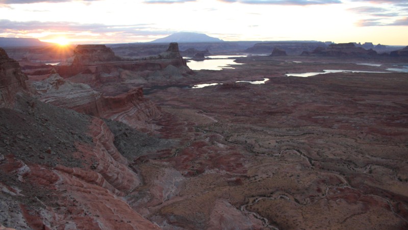
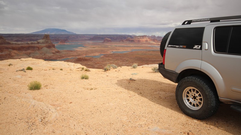
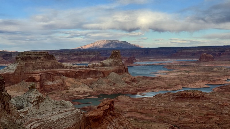
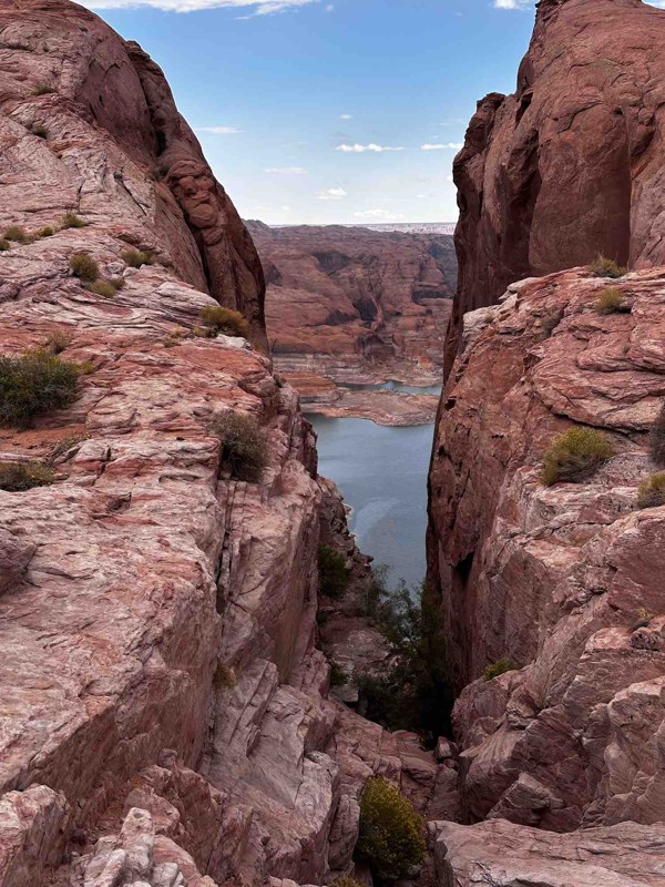
Alstrom Point is located in the Glen Canyon National Recreation Area. It is an overlook over the famous Lake Powell. Lake Powell is a manmade reservoir in which the water is held in by the also famous Glen Canyon Dam. The dam was completed in 1963 and it's intended purpose was to behave as an "aquatic bank" for the agriculture downstream of it. This dam has, in turn, created one absolutely stunning overlook that is called Alstrom Point. The trail itself is nothing to write home about, but the overlook at the end might be one of the most spectacular views of Lake Powell that is accessible by vehicle. The camping out at the end is subject to a lot of winds, but if you can handle the wind, the reward for camping out here and waking up to the views is well worth it.
Utah: Hole in the Rock Road Hero Photo
Scout Route Icon
4.3/5 (11 reviews)
Updated: 05/01/2026

Hole in the Rock Road

Escalante, Utah

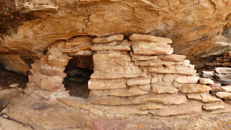
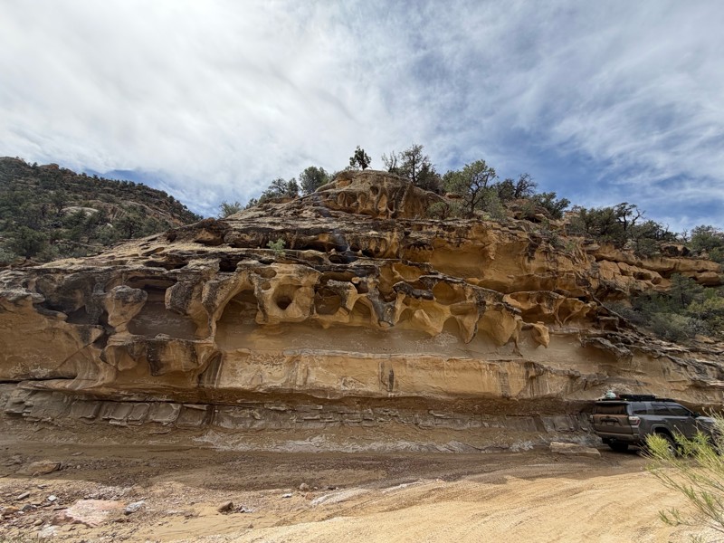
Historic Hole in the Rock Road runs from Scenic Byway 12, ending just above the Colorado River at the geologic feature for which it's named, a steep V-shaped cut in the north wall of the Colorado River's canyon. The famous Zebra and Tunnel slot canyons are just off the road. The geologically unique Devil's Garden and Dance Hall Rock are must-stops along the way. Spur trails lead off into the Glen Canyon Recreation Area with numerous trailheads for hiking into Coyotoe Gulch and to the immense Jacob Hamblin Arch. Left Hand Collet Road climbs westward onto the remote Kaiparowitz Plateau.

Hole in the Rock Road is a historic route. In the autumn of 1879, 250 men, women, and children began one of the Southwest’s most difficult and dramatic pioneer expeditions. Their goal was to establish a settlement on the San Juan River.  Their nearly 250-mile trek across virtually unexplored lands resulted in the little town of Bluff.  To learn more about the Hole-in-the-Rock Pioneers, visit the Escalante Heritage Center or Bluff Fort.  Additional segments of their route include Hole in the Rock Trail, Snow Flat Road, and Comb Ridge.  
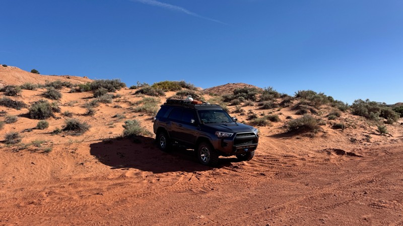
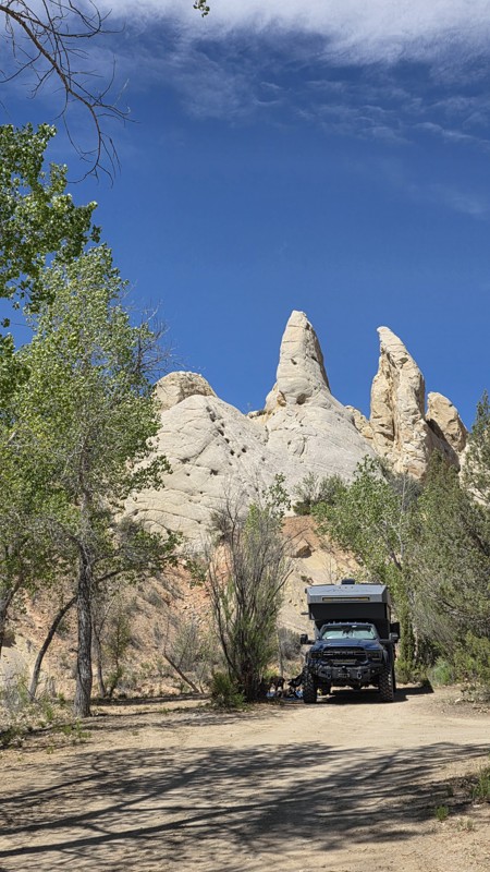
The northern portion of the road is graded dirt and sand with miles of continuous washboards. The southern part of the trail crosses uneven sandstone slickrock before ending just above the hole in the rock. Be prepared for 2 plus hours of dash rattling washboard. Large tires definitely help on this road. A stock SUV, pickup, or even crossover would have no problem. Clearance is required on the slickrock.

The north end of the trail is a popular boondocking area. While there are ample campsites along the trail, they get farther apart as you head south.  A very nice group of sites near Fifty Mile Spring is surrounded by red rock.

Utah: Left Hand Collet Road Hero Photo
All-Access Icon
4.8/5 (18 reviews)
Updated: 05/21/2024

Left Hand Collet Road

Escalante, Utah
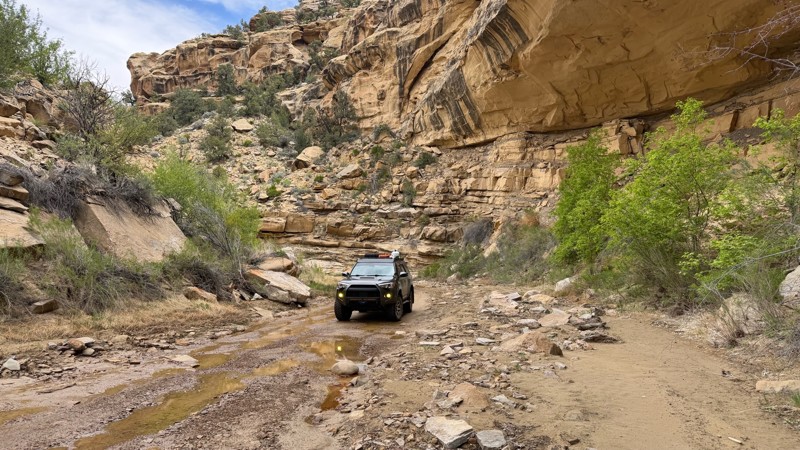
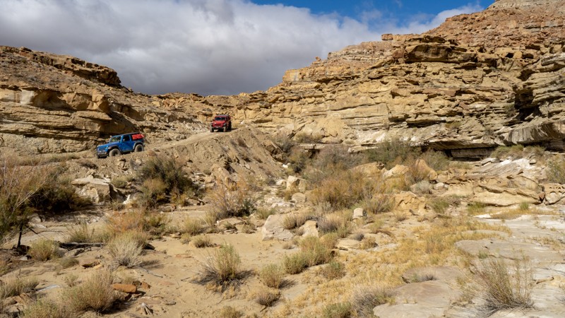
Left Hand Collet Road is situated in the Carcass Canyon Wilderness Study area just north of Grand Staircase - Escalante National Monument. It is a BLM road that connects the town of Escalante, Utah to other roads in the area, such as Smoky Mountain Road and Croton Road. It is an absolute must do in the area if you like wash driving and interesting rock formations. The rock formations around here are simply stunning. You could spend all day slowly navigating the wash in awe as the immediate scenery is amazing. There is a bit of camping at the northern end of this trail, and the camping looks incredible as well with stunning backdrops of the Grand Staircase - Escalante area to the southwest.
Utah: Crosby Canyon Hero Photo
Scout Route Icon
4.8/5 (5 reviews)
Updated: 09/10/2026

Crosby Canyon

Big Water, Utah

Crosby Canyon is a very scenic canyon trail that follows in and out of a wash taking you from Smoky Mountain Road down to the shores of Lake Powell. When dry, the path is fairly simple but can become quite difficult if muddy. It also has the potential to be dangerous with flash floods, so users should pay close attention to the weather. The end of the trail has some deep, soft sand, thus 4WD is highly recommended. Some camping can be found at the end of the trails.

Utah: Cottonwood Canyon Road Hero Photo
All-Access Icon
4.8/5 (18 reviews)
Updated: 03/12/2025

Cottonwood Canyon Road

Cannonville, Utah

Cottonwood Canyon Road is a great addition to anyone's southern Utah overland adventure plans. Spanning across the Grand Staircase-Escalante National Monument, the geologic features from start to finish provide endless opportunities for exploration. Perhaps the most scenic area lies along the Cockscomb, part of the East Kaibab monocline, with near vertical sandstone beds that form a sinuous hogs back of prominent, multicolored ridges. Prominent backcountry hiking and camping areas can be found in various places along the trail, making it popular for outdoor recreators of all types.

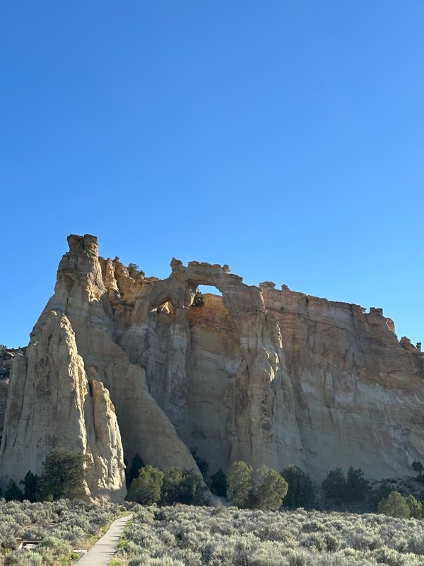
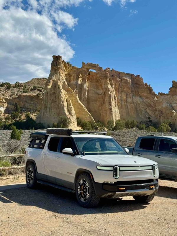
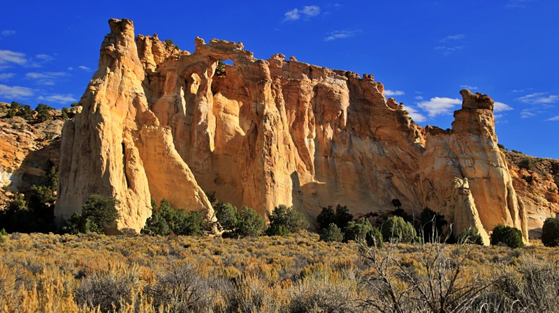
Cottonwood Canyon Road also passes near another geologic wonder, the Grosvenor Arch. Named for Gilbert Hovey Grosvenor, president of the National Geographic Society and the first full-time editor of National Geographic Magazine, the double sandstone arch towers 150 feet above the surrounding terrain.

Utah: Skutumpah Hero Photo
Scout Route Icon
3.3/5 (4 reviews)
Updated: 10/09/2026

Skutumpah

Canyon Point, Utah

Skutumpah (pronounced scoot um pa) runs east-west through the Grand Staircase Escalante National Monument from the intersections of Johnson Valley Road and Glendale Bench in the west to Cottonwood Canyon Road near Cannonville in the east.  The graded road is easily passable in 2WD vehicles unless wet.  When wet, the road becomes essentially impassable in any vehicle.  The clay surface becomes exceptionally slick, providing virtually no traction.  The road has deep ruts, steep grades, and hairpin switchbacks on the eastern end.  Emergency contact stations are every 5 miles along a good portion of the remote road.

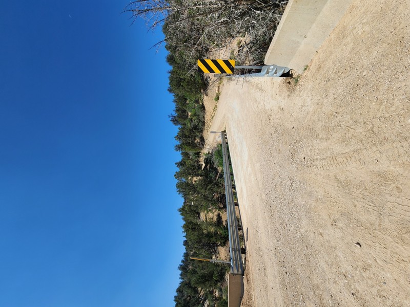
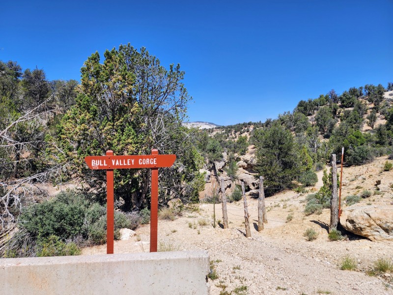
The western end is relatively dull but offers good views of the orange and pink cliffs of the Bryce Canyon area.  The road crosses Deer Springs Ranch, a large plot of private land.  Watch out for cattle on the trail.  The eastern half of the road is far more interesting.  A bridge crosses Bull Valley Gorge, a challenging canyoneering destination.  Take a moment to walk onto the bridge and look down into the impressively deep sandstone gorge.  Willis Slot Canyon is an easy 2-mile round trip hike through a scenic slot canyon.  The trailhead has plenty of parking.  

Camping is limited.  The best dispersed campsite on the western end is 2 miles into the track across from one of the emergency rescue beacons.  The shaded site can host up to 5 larger rigs and is suitable for tent camping.  A mile from the eastern end is a superb camping area on the edge of a ridgeline capable of hosting 15 to 20 vehicles while still providing privacy.   The best sites have impressive views, with Powell Point dominating the skyline.  Deer Springs Ranch offers cabins and campsites.  Plenty of commercial camping and lodging options exist in Cannonville, Tropic, and the beautiful Kodachrome State Park. 

Utah: Nipple Creek Road Hero Photo
Scout Route Icon
4.7/5 (4 reviews)
Updated: 06/15/2026

Nipple Creek Road

Big Water, Utah
Nipple Creek Road is a beautiful drive up onto the Kaiparowitz Plateau. The beginner-friendly trail features amazing colors, unique geologic features, and views that look like they are from another world. There is camping available near the southern end of the Road. The site is very big and shaded in the evening.
Utah: Horse Mountain - Death Ridge Hero Photo
Scout Route Icon
4/5 (3 reviews)
Updated: 04/22/2026

Horse Mountain - Death Ridge

Paria, Utah

Horse Mountain and Death Ridge roads form the second and more challenging section of a scenic overland route through Grand Staircase Escalante National Monument from Cottonwood Canyon to Escalante, along with Four Mile Bench Road.

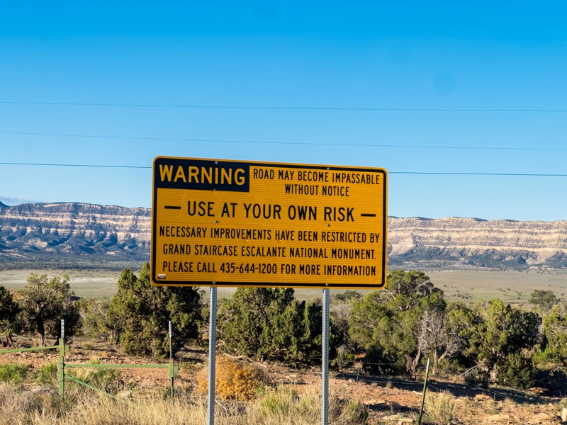
Though there is a sign at the southern end warning it is impassable to full-size vehicles, that is not usually the case. Full-size vehicles are allowed on the road and can usually travel it. However, much of the road passes through bentonite hills with highly erosive soils and is subject to frequent washouts. These washouts can narrow the road to the point where larger vehicles can't get through. These washouts also provide the main technical challenge on the route, which is on the hard end of moderate. The road is likely completely impassable in wet conditions.
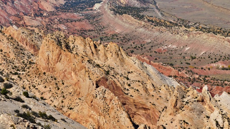
Starting from the south, the first part of the road follows a ridgetop with scenic views of the surrounding badlands terrain. It then crosses through gulches and clay hills, gradually ascending Horse Mountain to Death Ridge. It eventually intersects and follows Death Ridge Road, a graded dirt road that descends the ridgeline to intersect with Smokey Mountain Road just outside Escalante.

There are a few campsites along the trail, and it would be a good route for overlanding. All backcountry camping in Grand Staircase Escalante National Monument requires a permit.
Utah: Brigham Plains Road Hero Photo
Scout Route Icon
5/5 (3 reviews)
Updated: 03/24/2026

Brigham Plains Road

Paria, Utah

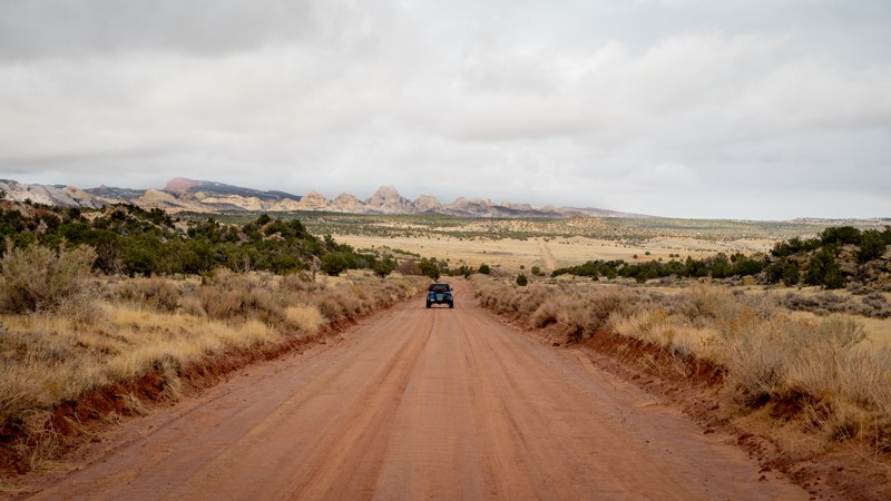
This trail takes you up onto the beautiful Brigham Plains. It is steep, narrow, and rocky going up or down either side. Going up the west side gives you incredible views of the Cottonwood Canyon. The east side takes you down a narrow shelf road with multiple switchbacks. Once you get through the switchbacks, you will travel through Coyote Creek Canyon. There are no campsites along this trail

Utah: Burr Trail Hero Photo
All-Access Icon
4.9/5 (13 reviews)
Updated: 03/12/2025

Burr Trail

Boulder, Utah

The Burr Trail is a scenic, historic route in southern Utah, known for its breathtaking landscapes and rich geological features. Stretching about 68 miles with pavement from the town of Boulder to the Grand Staircase-Escalante National Monument, the trail offers stunning views of red rock canyons, towering cliffs, and mesas. Originally a cattle-driving route, the Burr Trail now attracts travelers seeking a unique drive through diverse desert terrain, including the famous Waterpocket Fold and the dramatic Capitol Reef National Park. The portion of the trail written about here is the dirt stretch spanning the National Park boundaries. It is only a matter of time before it is all paved! Regardless, this trail is a must-see for those looking to experience the rugged beauty of southern Utah's wilderness.

Utah: Harris Wash and V Road Hero Photo
Scout Route Icon
4/5 (4 reviews)
Updated: 07/03/2026

Harris Wash and V Road

Escalante, Utah

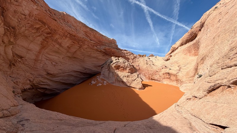
Harris Wash Road and V Road are technically two different roads, though they appear on the ground as one. The road leads from Hole in the Rock Road deep into a wilderness study area in the Red Breaks area of Grand Staircase Escalante National Monument. It provides the closest hiking access to the Cosmic Ashtray, one of the most famous geological features within the monument. The road is worth driving even without the hike for the spectacular views of the large Red Breaks petrified sand dunes.
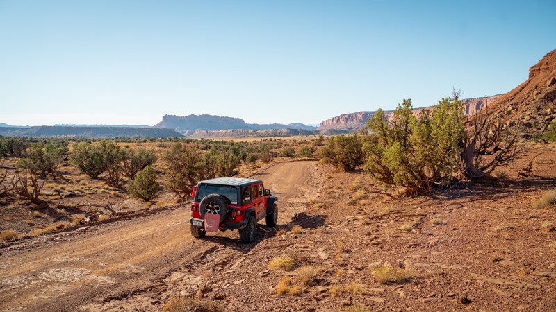
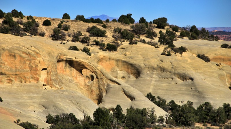
The first half, Harris Wash Road, is graded dirt, usually passable in any vehicle as far as the Harris Wash trailhead. After crossing Harris Wash, the road name changes to V Road. V Road has had a history of closures and reopenings. Currently, the road appears to continue, but the latest Travel Management Plan signed in December 2024 has closed the continuation after Harris Wash. This section may reopen in the future.

There are several excellent dispersed campsites to be found along this road. All backcountry camping in Grand Staircase Escalante National Monument requires a permit, which can be obtained at the visitor center in Escalante.

Utah: Four Mile Bench Hero Photo
Scout Route Icon
3.5/5 (2 reviews)
Updated: 03/24/2026

Four Mile Bench

Henrieville, Utah

Four Mile Bench spurs off Cottonwood Canyon Road, running 14 miles into the remote Kaparowitz Plateau. The trail climbs steeply along shelf roads up the face of the plateau. It also crosses Wahweep Wash, Blue Wash, and Tommy Smith Creek. These drainages are ordinarily dry but prone to flash flooding and washouts after heavy rains. Four Mile Bench ends at an intersection with Death Ridge Road, 313, marked as impassable by full-size vehicles.

The western end of Four Mile Bench passes Grosvenor Arch. The massive sandstone arch is actually two arches. They tower 150 feet above the desert, with the larger arch measuring 100 feet wide. There is a parking area with a vault toilet for those visiting this imposing natural wonder.

East of the arch, two small campsites sit on the south side of the road. One is a single-vehicle site very close to the trail, while the other is a lollipop site further off the trail. Neither are desirable campsites. Better camping options are available along Cottonwood Canyon Road.

Utah: Tibbet Canyon Hero Photo
Scout Route Icon
4.3/5 (4 reviews)
Updated: 06/02/2025

Tibbet Canyon

Big Water, Utah

Tibbet Canyon, located on the Kaiporowtz Plateau, is a beautiful canyon that runs from Nipple Butte to Smoky Hollow. There are several unique rock formations visible throughout the drive, no matter which direction you run it. Obstacles generally consist of bumpy wash crossings, which can increase in size with every storm. Any vehicle with high ground clearance will be able to handle this trail in normal conditions, but if there is any moisture present, 4WD is likely required. The only campsite found along the trail is at its eastern end, where it intersects Smoky Hollow. It is a large and exposed site with plenty of ground for 6-8 vehicles to spread out.

Utah: Upper Muley Twist Canyon Hero Photo
Scout Route Icon
4.9/5 (9 reviews)
Updated: 08/31/2026

Upper Muley Twist Canyon

Boulder, Utah

When a short trail combines numerous arches and one of the best views in Utah, you simply have to do it. Upper Muley Twist Canyon hosts several impressive arches along its short track, but they are easy to miss. Keep a careful eye out to the left as you drive inbound. There's even a double arch. The trail ends at a small trailhead parking lot. Follow the cairns east to the Strike Valley Overlook. The vibrant colors of the Waterpocket Fold are simply striking. The Henry Mountains dominate the eastern skyline. A view like this is why you come to Utah

Utah: Notom Road Scenic Byway Hero Photo
All-Access Icon
4.1/5 (10 reviews)
Updated: 03/12/2025

Notom Road Scenic Byway

Fruita, Utah

Notom Road Scenic Byway is aptly named for its stunning views of The Reef as it travels north/south along the striking rock formations. Much of the locally known Notom Bullfrog Road has been paved, leaving only a 16-mile section of maintained dirt as it travels through the Capitol Reef National Park boundary. Regardless of the lack of technical difficulties, this stretch is still filled with scenic views and is very remote, with services being few and far between.

Those seeking to spend a weekend in the area may choose to camp at the Cedar Mesa Campground and hike to the Circle Cliffs or continue south to connect with the historic Burr Trail and traverse the steep switchbacks. Others may continue all the way south to the little hamlet of Bullfrog, where you (and your vehicle) can take the ferry across Lake Powell to Halls Crossing.

Utah: Wolverine Loop Road Hero Photo
Scout Route Icon
4/5 (1 reviews)
Updated: 01/15/2026

Wolverine Loop Road

Boulder, Utah

Wolverine Loop Road is a remote trail providing access to the southernmost reaches of the Grand Staircase Escalante National Monument when traveling off the Burr Trail. Mild maintenance by the managing agency keeps this route open year-round though it can be prone to erosion at the various wash crossings due to seasonal rainfall and flash flooding. The wash crossings are considered the hardest part of the trail but are easily managble by most high-clearance 2WD vehicles when dry.

Various hiking trailheads and points of interest such as Horse Canyon TH, Wolverine Petrified Wood Natural Area, and Little Death Hollow Trailhead are all located along the trail. Scenic views are plentiful with towering red rock mesas in most directions.

Camping is not extremely plentiful, some spots are found shortly off the trail's western end, a couple more at Little Horse Canyon, and a few more off the branching trails of Silver Falls and Moody Creek Road.

If you plan to overnight camp within Grand Staircase - Escalante National Monument, be sure to obtain a Backcountry Permit at the Escalante Interagency Visitor Center or in most of the trail register boxes at hiking trailheads. Backcountry Permits for overnight stays are free and assist the BLM (Bureau of Land Management) with tracking public land use and can also assist with emergency response efforts. Day use does not require a backcountry permit, but please sign the trail register.

Utah: Cedar Wash Road Hero Photo
Scout Route Icon
3/5 (2 reviews)
Updated: 10/15/2024

Cedar Wash Road

Escalante, Utah

Cedar Wash Road begins off Center Street south of Escalante and connects with Hole in the Rock Road. Several small marginal campsites are along the north end of the road just after the pavement ends. These are suitable for one to two small vehicles. Hole in the Rock Road has plenty of very nice campsites.

The main draw of this otherwise nondescript road is the Cedar Wash Arch. Seeing the arch requires a short but mildly strenuous hike from the unsigned pullout.

The trail has deep sandy washes, sharp curves, and steep grades. Do not attempt if wet.

Utah: Eggnog - Star Springs Road Hero Photo
Scout Route Icon
5/5 (2 reviews)
Updated: 06/04/2026

Eggnog - Star Springs Road

Ticaboo, Utah

Eggnog - Starr Springs Road is an incredibly unique trail winding through a moon-like landscape just north of Bullfrog, Utah. Despite southern Utah being known for its red rock sandstone, this interesting little pocket of BLM land is bathed in blue and grey tones. Bentonite clay hills roll on far to the north, with a distant view of the well-known Waterpocket Fold to the west. Towering near the eastern end is Mount Hillers, a dramatic 10,000-foot-plus mountain peak with out-of-place red fins at its base. With the mashup geology, this trail is perfect for anyone in a high clearance 4WD vehicle looking to diversify their weekend overland trip.

Dispersed camping is limited to a few rocky spots along the trail. Luckily, there is a very peaceful and scenic campground at the eastern end of the trail called Starr Springs Campground. They offer a handful of designated campsites nestled among the oak tree grove, fire rings, picnic tables, and pit toilets.

Utah: Bullfrog Creek Overlook Hero Photo
Scout Route Icon
4/5 (1 reviews)
Updated: 10/15/2024

Bullfrog Creek Overlook

Ticaboo, Utah
Bullfrog Creek Overlook is a short, easy, and scenic side trip off the Notom Bullfrog Road. The trail's end provides stunning views of Bullfrog Creek and its multi-hued sandstone canyon a thousand feet below. To the northeast rises the Henry Mountains, the last mountain range added to the US Geological Survey Map and a worthy destination in itself. The overlook is suitable for camping or makes a superb picnic spot.
Utah: Smoky Hollow Hero Photo
Scout Route Icon
3.5/5 (2 reviews)
Updated: 07/03/2026

Smoky Hollow

Big Water, Utah

If peace and serenity are your thing, then look no further than Smoky Hollow. This trail acts as an alternate route through the mountains surrounding Smoky Mountain, the well-known feature of this area. Along the trail, you may encounter occasional washouts, as this trail does travel in a wash, but there is nothing a stock 2WD high clearance vehicle can't handle. Aside from the washouts, occasional patches of sand, possible sticky mud, and a steep climb at the end are also offered along this journey. Camping is surprisingly limited and only offered at the intersection with Tibbet Canyon (in the form of an open pullout) or at the northern end intersecting with Smoky Mountain Road. All sites are dispersed with no amenities.

Utah: Moody Creek Road Hero Photo
Scout Route Icon
4/5 (1 reviews)
Updated: 03/11/2025

Moody Creek Road

Boulder, Utah

Across its nearly 20-mile stretch, Moody Creek Road offers quite a few experiences. Beginning as a well-used dirt road within the Grand Staircase Escalante National Monument, the landscape is quintessential southern Utah, with towering red rock plateaus in most directions. As the trail works its way south, you will snake between the bases of Colt and Horse Pasture Mesas, where the trail narrows using a wash area to travel the canyons. You may notice a signage shift as you cross from the national monument over to Glen Canyon National Recreation Area lands. The first 14 miles of trail are traversable by high-clearance 2WD vehicles in dry conditions. Should you choose to push on, the final 3 miles of the trail make a bump in difficulty as conditions quickly shift to that of a true 'Jeep trail' with large ruts, rocky ledges, and steep climbs. The bumpy trek finally ends atop Four Mile Bench at the base of very colorful purple hills with stunning views of the surrounding rock formations.

Dispersed campsites are mostly limited to one just before the Silver Falls spur, a couple nested along the base of Colt Mesa (after the gate and coral), and one more along the final 3-mile stretch towards the purple hills.

If you plan to overnight camp within Grand Staircase - Escalante National Monument, be sure to obtain a Backcountry Permit at the Escalante Interagency Visitor Center or in most of the trail register boxes at hiking trailheads. Backcountry Permits for overnight stays are free and assist the BLM (Bureau of Land Management) with tracking public land use and can also assist with emergency response efforts. Day use does not require a backcountry permit, but please sign the trail register.

Utah: Collet Top Hero Photo
Scout Route Icon
3.3/5 (3 reviews)
Updated: 05/01/2026

Collet Top

Escalante, Utah
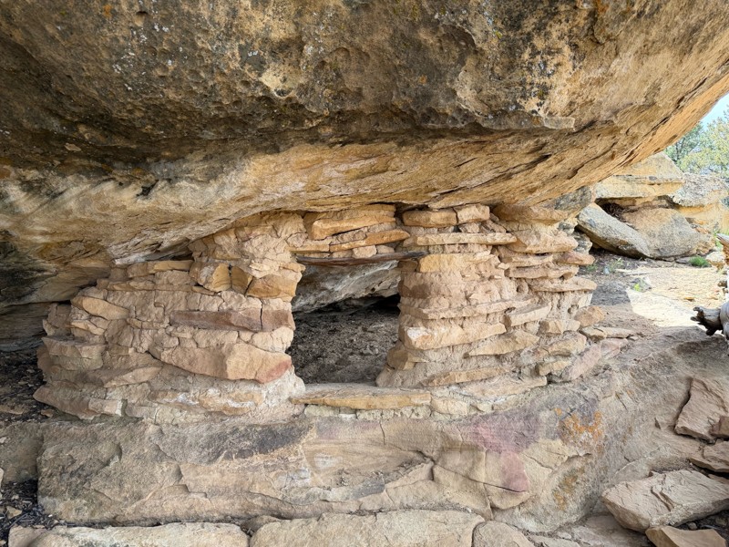
Collet Top is a short connector between Smoky Mountain Road to the west and Left Hand Collet Road and Croton Road to the east. The dirt trail crosses a flat valley of low scrub brush. About midway is a small rock outcropping. See if you can spot the Moqui house ruins. There is a nice campsite just south of the eastern intersection.