Region

Grand Staircase-Escalante National Monument

Utah

Offroad Trails in Grand Staircase-Escalante National Monument

A Region within Utah
4.4/5 (198)

Grand Staircase–Escalante National Monument: Where the Desert Keeps Its Secrets

Overview

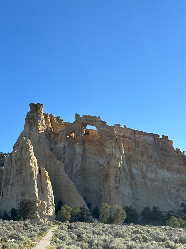
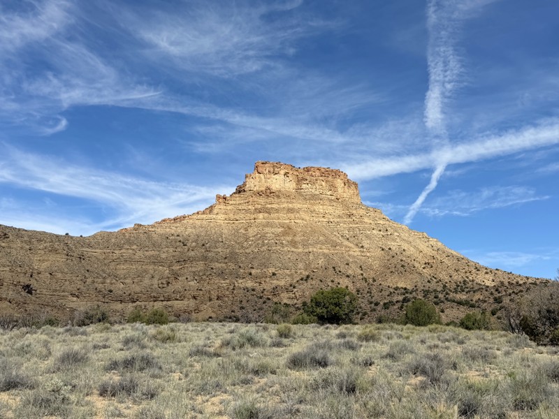
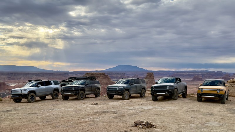
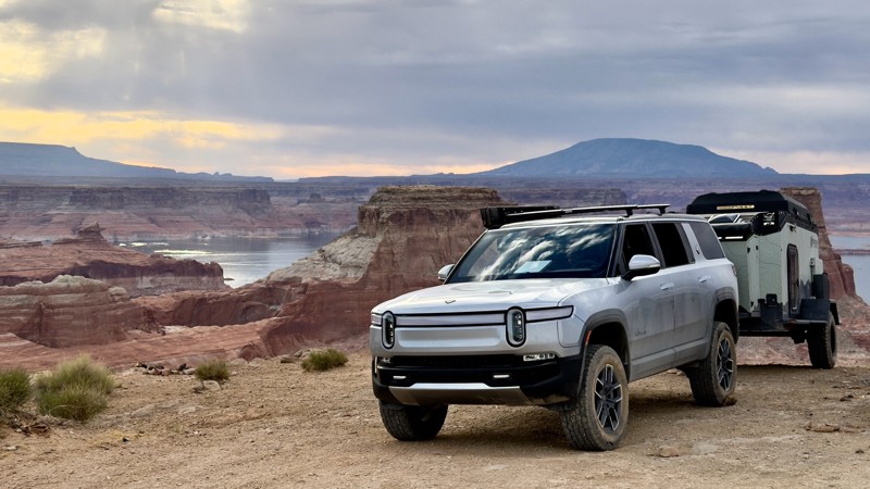
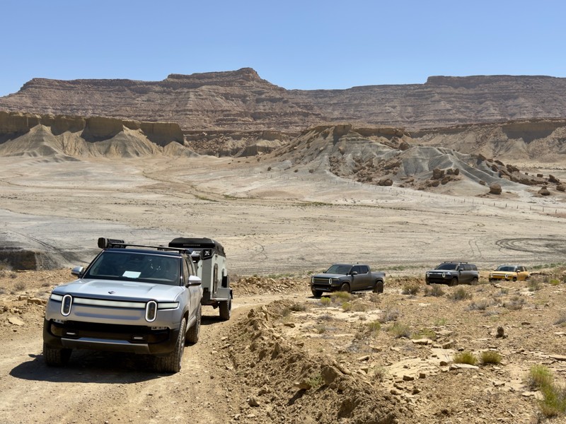
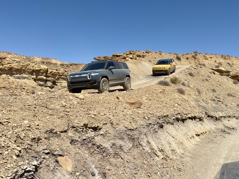
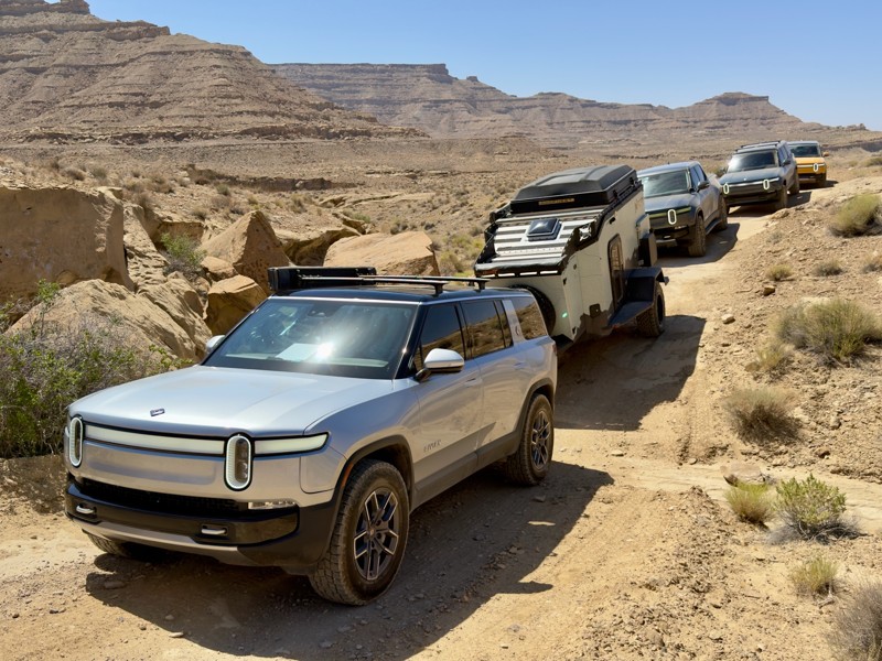
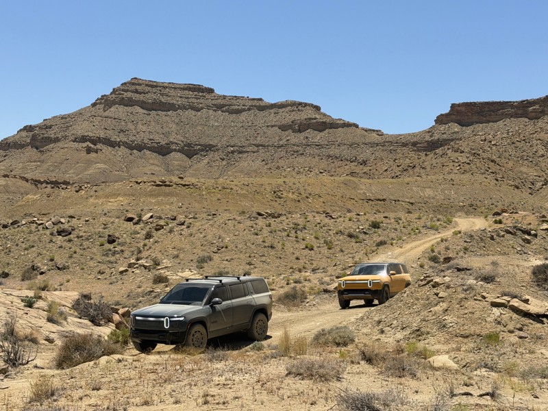
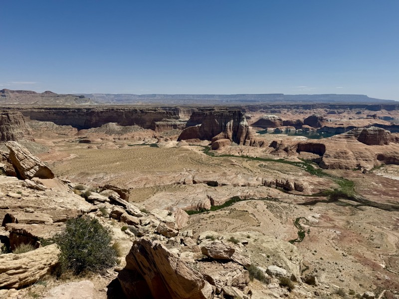
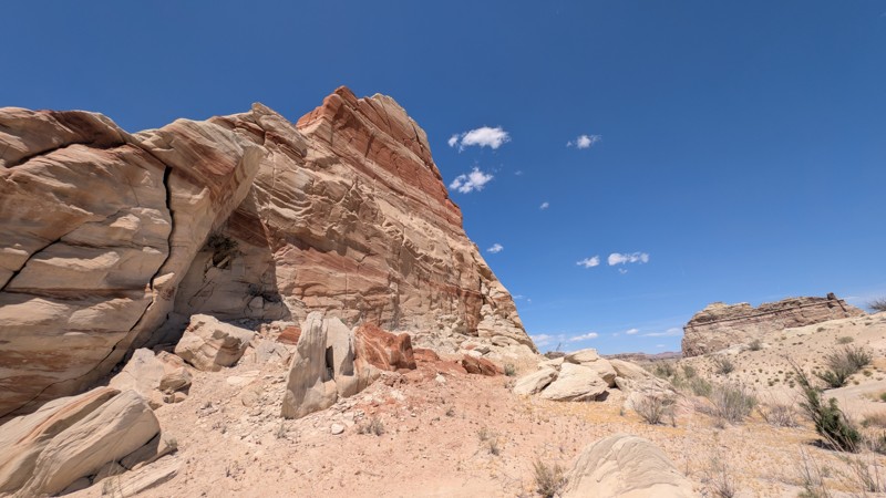
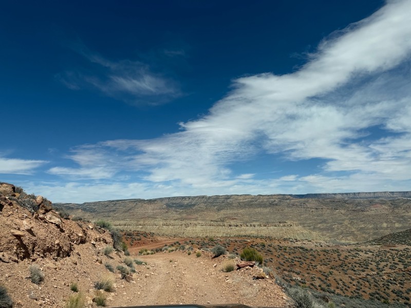
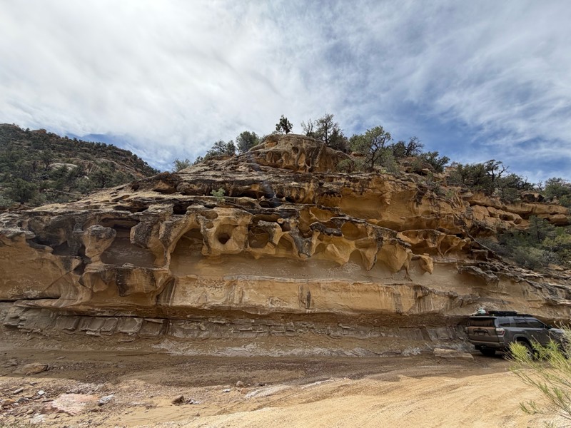
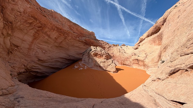
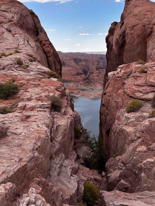
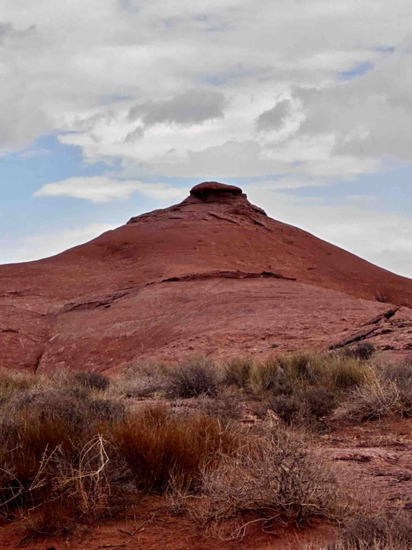
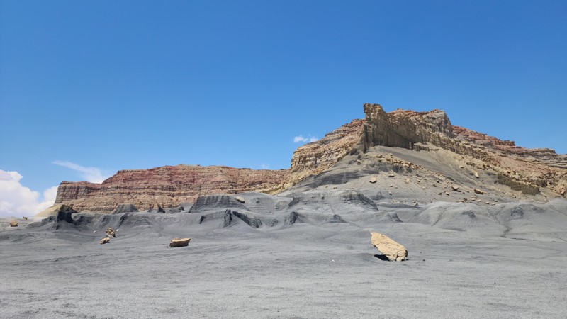
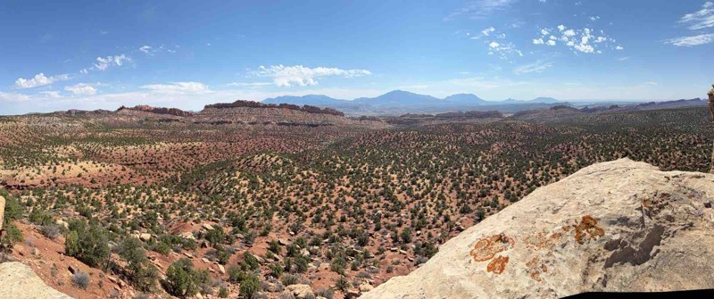
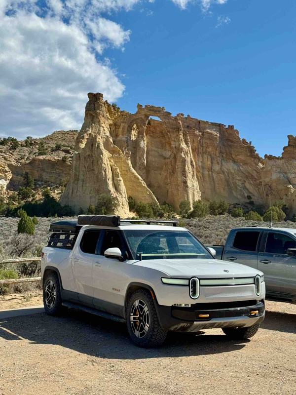
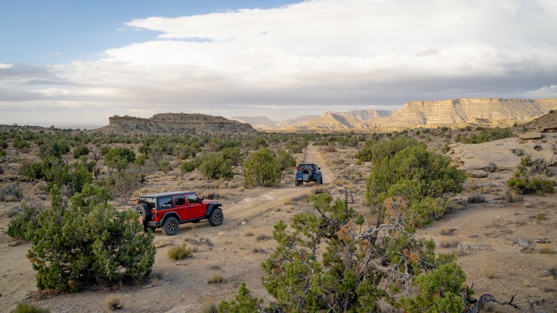
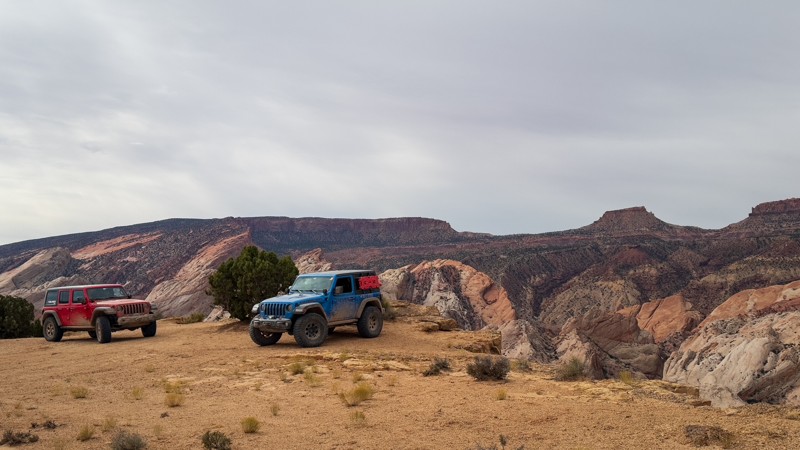
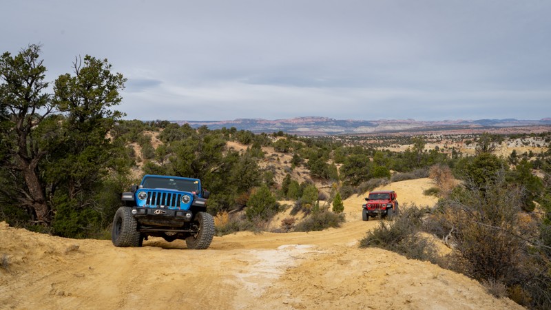
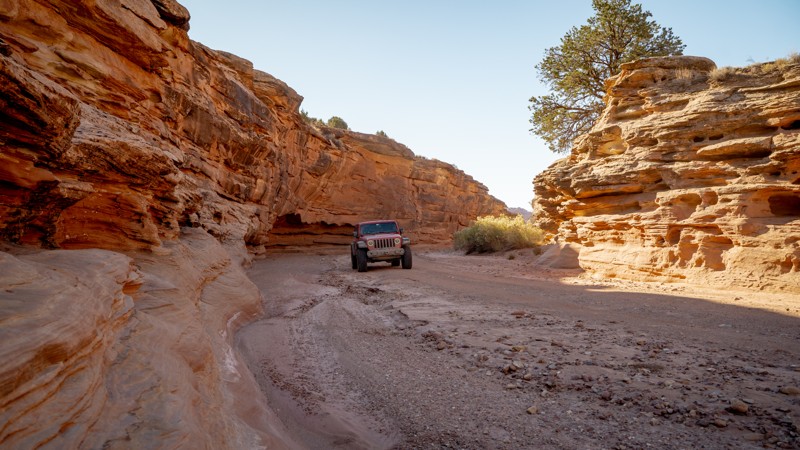
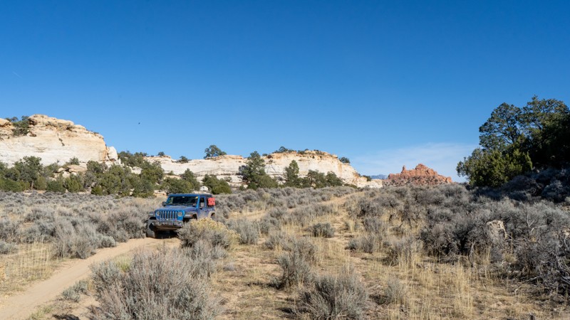
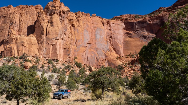
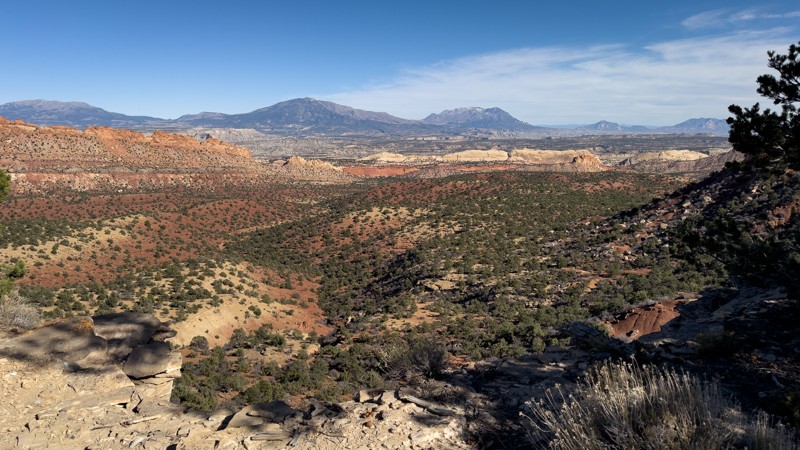
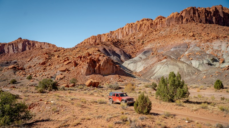
Grand Staircase–Escalante National Monument spans nearly one million acres of southern Utah canyon country. This vast wilderness of slickrock, slot canyons, and sandstone plateaus remains one of the most remote and least developed regions in the continental United States. Managed by the Bureau of Land Management, the monument protects a sweeping sequence of geologic “steps” stretching from the cliffs of Bryce Canyon to the desert rim of the Colorado River. It’s a land shaped by time, water, and solitude—where exploration feels raw and endless.

Getting There

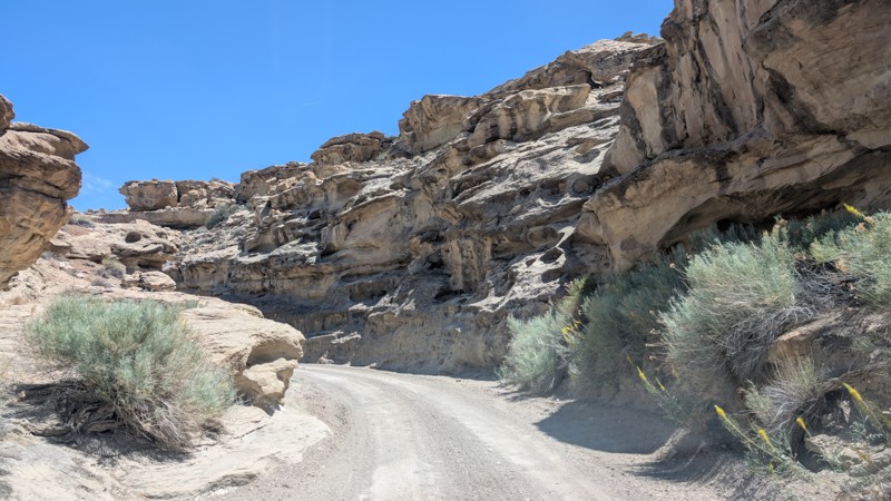
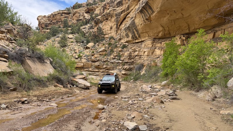
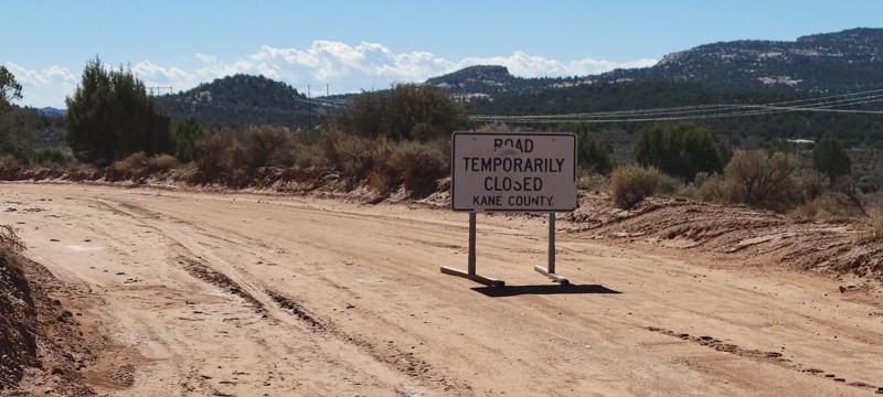
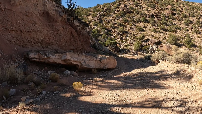
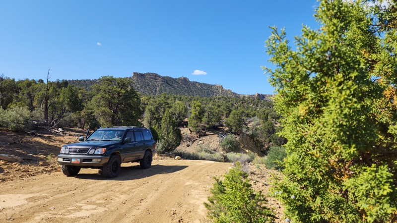
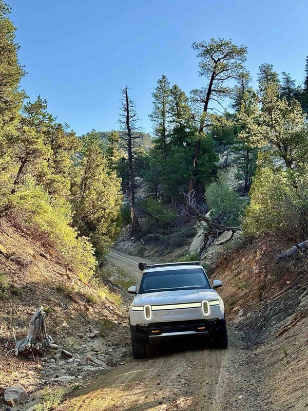
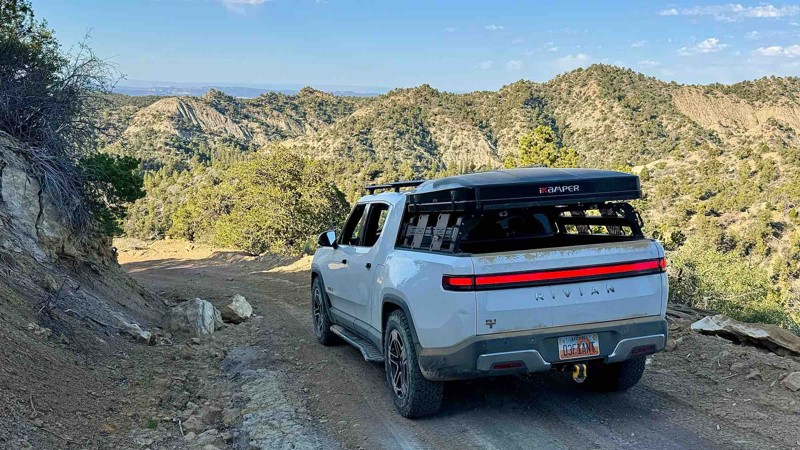
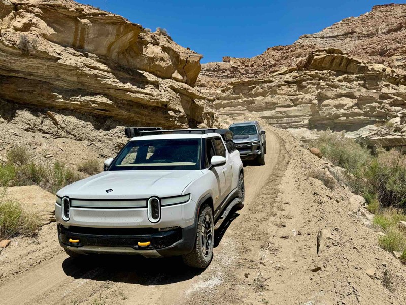
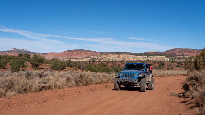
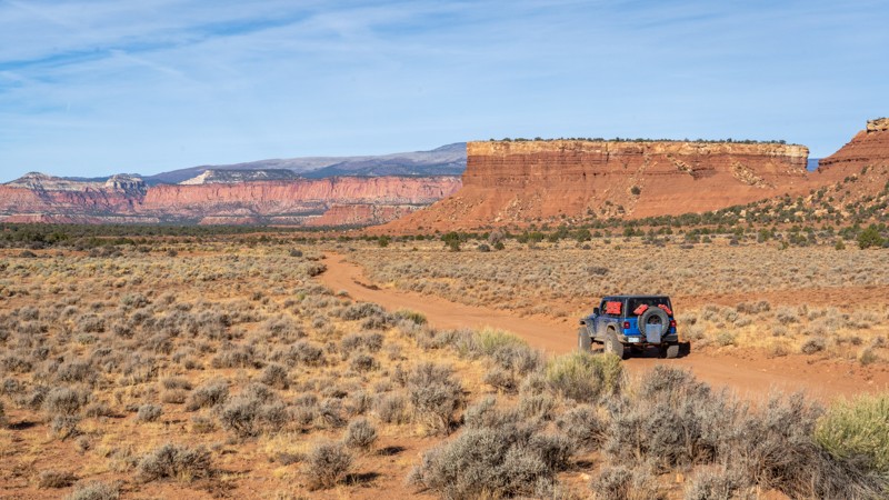
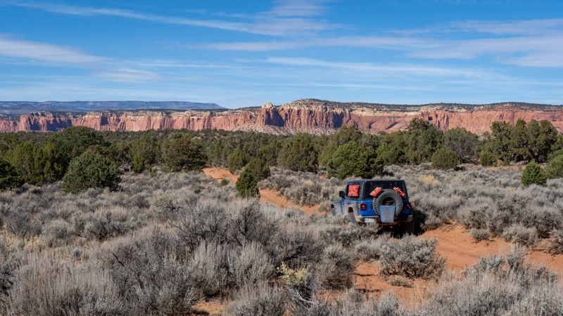
The monument is accessible from several small towns: Escalante and Boulder on Scenic Highway 12, Kanab to the south, and Big Water along Highway 89. Each provides fuel, food, and limited lodging before entering the monument’s backroads. Most major routes are graded dirt and can be traveled by high-clearance vehicles in dry conditions, but sudden storms can quickly make travel hazardous. Always check the weather and road conditions before setting out.

Trails

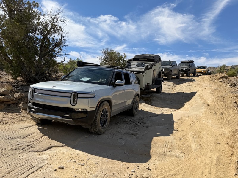
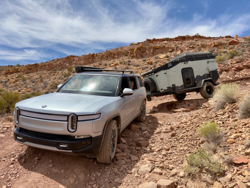
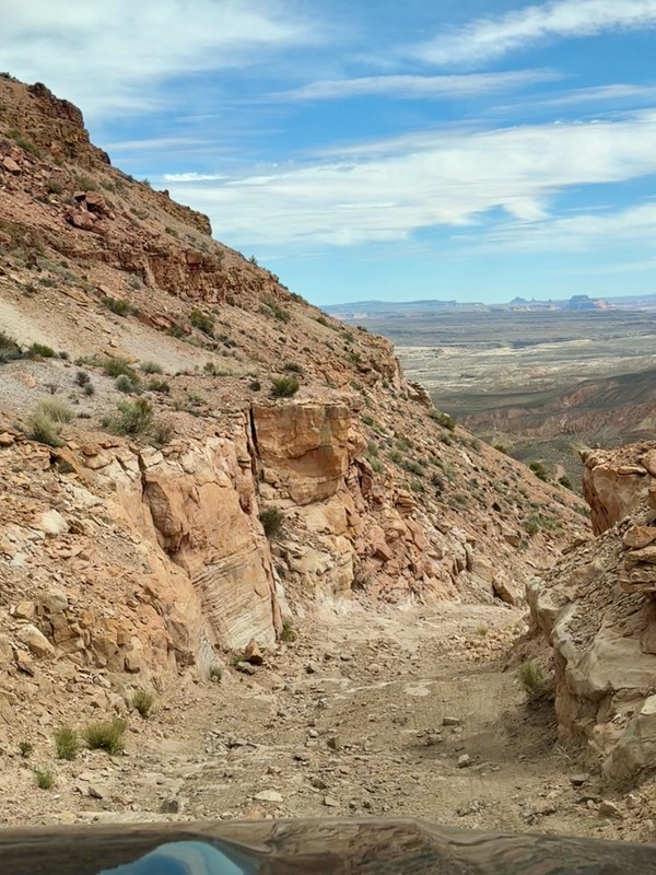
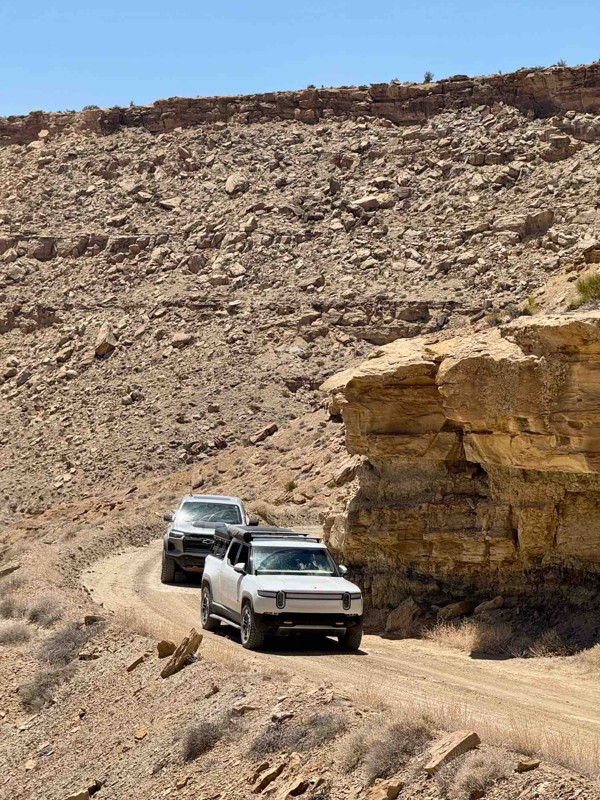
The network of primitive roads in Grand Staircase–Escalante offers some of the most rewarding overland routes in Utah. Each trail reveals a different character of the monument’s layered landscape:

  • Hole-in-the-Rock Road is the monument’s most famous backroad, leading deep into slickrock country with access to slot canyons like Peek-a-Boo and Spooky Gulch. The road follows the path of the original Mormon pioneers who carved their way toward the Colorado River in 1879.
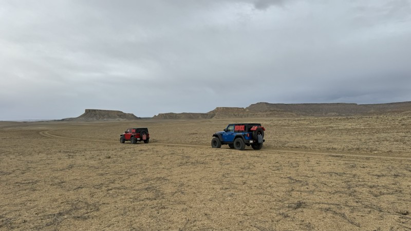
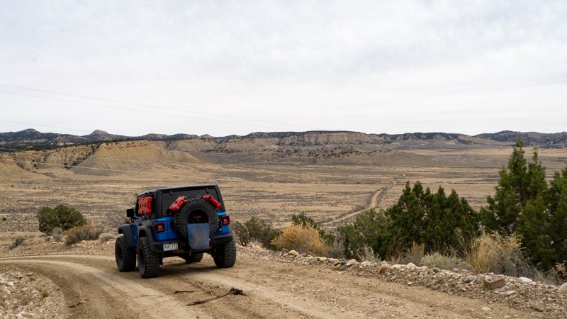
  • Smoky Mountain Road climbs from Big Water to Escalante across a stark, high-desert plateau with wide horizons and incredible geology. It’s remote, rough, and breathtaking, often requiring several hours to traverse.
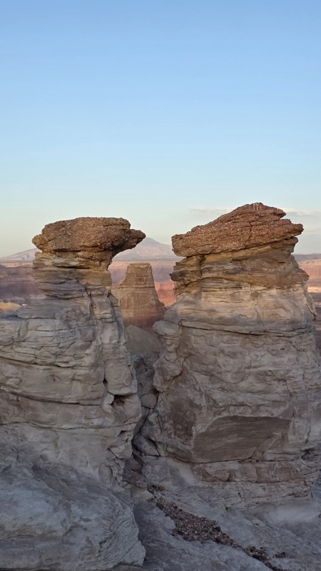
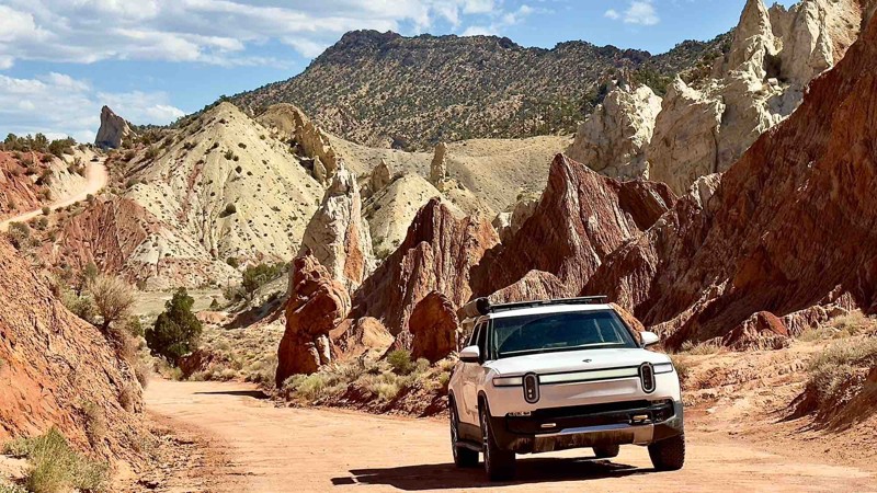
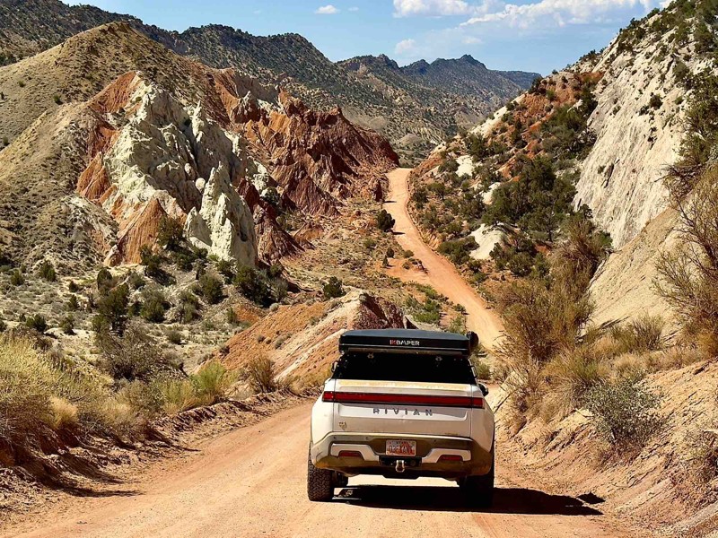
  • Cottonwood Canyon Road connects Highway 89 to Kodachrome Basin, winding through colorful badlands, hoodoos, and the striking Paria River canyon. It’s one of the most photogenic drives in southern Utah and passable in most dry conditions.
  • Burr Trail begins near Boulder and descends through the Waterpocket Fold, offering dramatic switchbacks, towering cliffs, and access to Capitol Reef’s remote southern reaches.

Camping

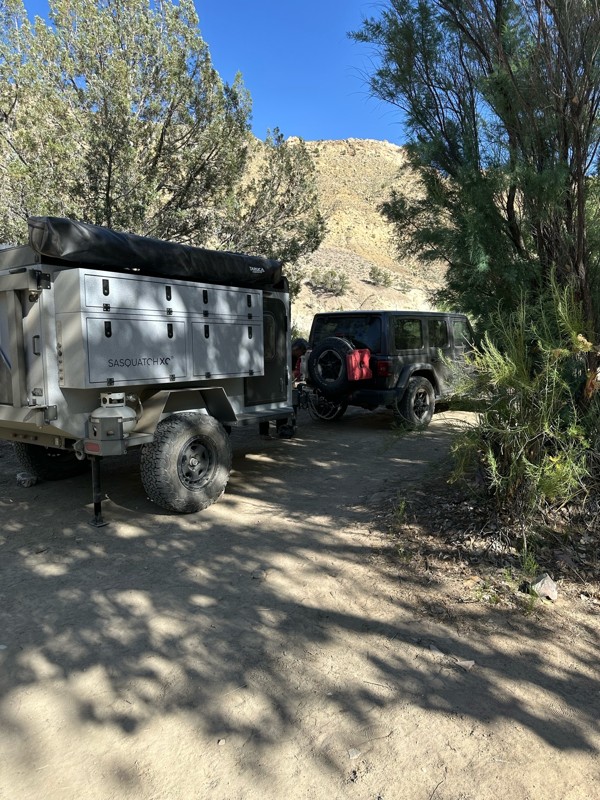
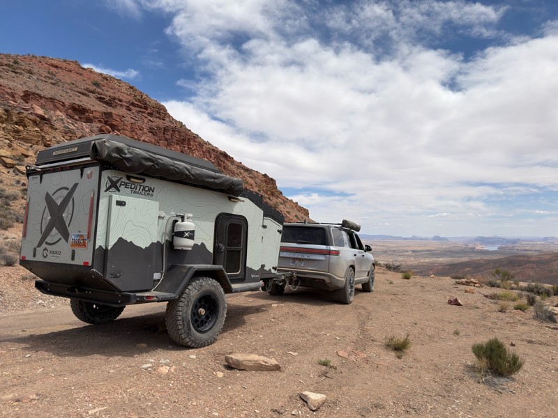
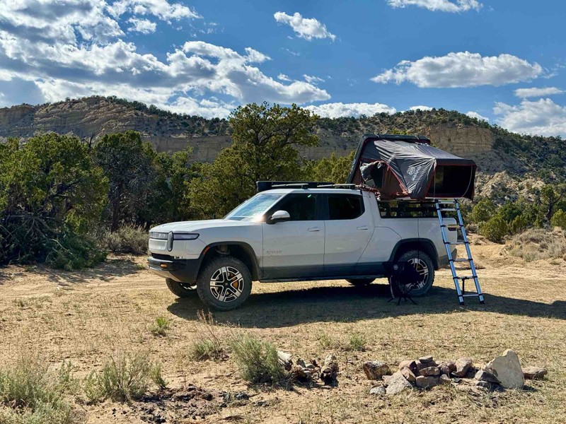
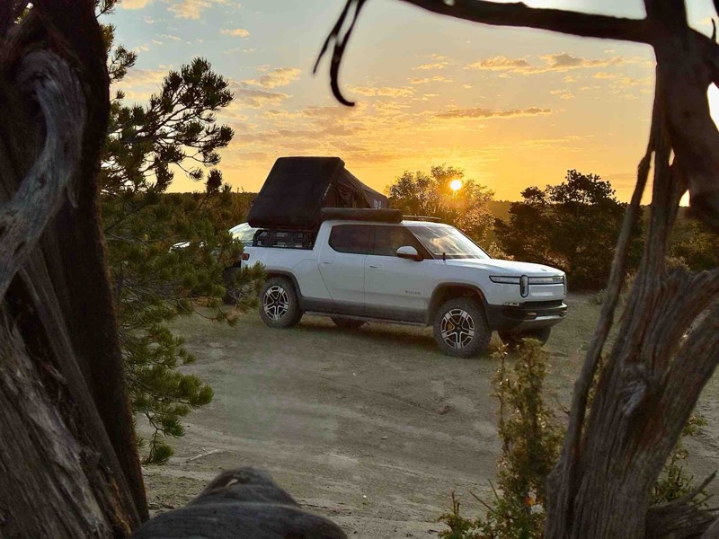
Dispersed camping is allowed throughout the monument, with hundreds of established pullouts and primitive sites along main routes. Sites are generally flat, scenic, and offer complete solitude, though no amenities are provided. Visitors should follow Leave No Trace principles—pack out all waste, minimize fire impact, and camp on previously disturbed surfaces. For those preferring developed facilities, campgrounds near Escalante, Boulder, and Kodachrome Basin State Park offer vault toilets and water.

Free permits are required for all overnight stays within Grand Staircase-Escalante National Monuments. You can get these permits at visitor centers or at developed trailheads. Additionally, certain high-traffic areas require special recreational permits, which are issued through a lottery system.

Wildlife & Seasons

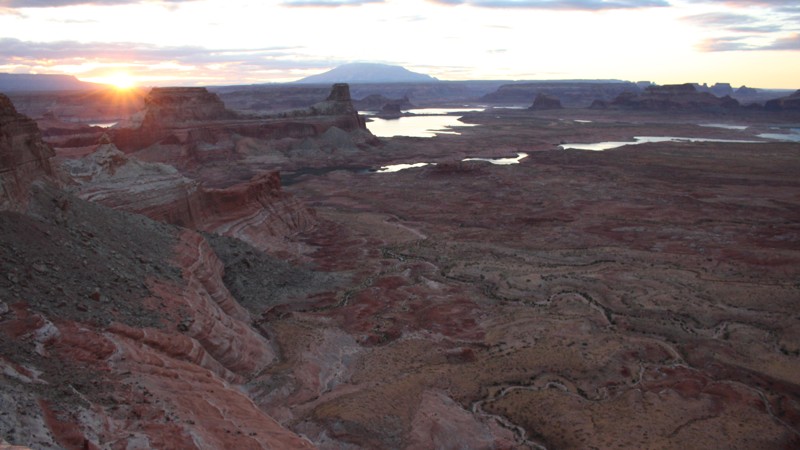
Spring and fall are ideal seasons for travel, bringing mild days and cool nights. Summer heat can exceed 100°F, while flash floods and washed-out roads are common during the monsoon season. Wildlife sightings include desert bighorn sheep, mule deer, golden eagles, and the occasional coyote silhouetted against red rock at sunset. The quiet here is profound—broken only by wind and the echo of canyon wrens.

Nearby Attractions

Visitors can pair their trip with nearby destinations such as Bryce Canyon National Park, Capitol Reef National Park, or the Paria Rimrocks. Scenic Highway 12 itself is a world-class drive, linking many of these highlights while offering views of Escalante’s sweeping canyons and sandstone domes.

Why Visit

Grand Staircase–Escalante is for travelers who crave true wilderness and discovery. Its endless backroads, hidden canyons, and remote campsites reward patience and preparation. Here, exploration feels timeless—each mile unfolding a new layer of color, history, and silence. For those who value solitude, scale, and the spirit of the open desert, there’s no place quite like it.


Top Reasons to Explore Here

Basemaps
Go All-Access to Unlock


TRAILS OFFROAD™ TRAIL TYPES
Trail Guide
Full detailed write up with Advanced Rating System, Waypoints, Video, and more.
Scout Route
Lite version with highlights, camping, and hardest part documented. Vetted in person.
TRAIL DIFFICULTY RATINGS
easy (1-2)
Suitable for high clearance 2WD
moderate (3-4)
Best suited for a high clearance 4x4
difficult (5-6)
Best suited for a lightly modified 4x4
severe (7-8)
Best suited for a highly modified 4x4
extreme (9-10)
Best suited for specialized buggy type vehicles
LAYERS

Most Recent Trail Reviews

Most Popular

Search for Trails
Utah: Coal Fires Road Hero Photo
Scout Route Icon
4.5/5 (3 reviews)
Updated: 04/22/2025

Coal Fires Road

Big Water, Utah

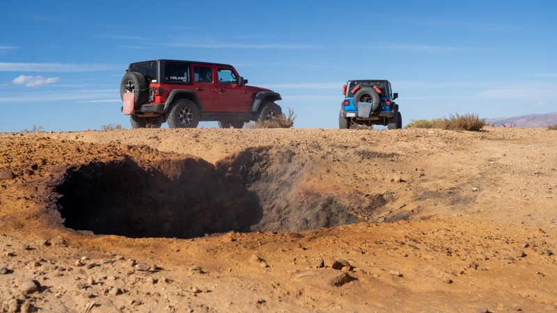
Rising from the ground in a seemingly random area is the smoke from an underground fire burning in the coal seams of Smoky Mountain. It is unknown when the fire started or how, but it is here to stay until the fuel has run out. Experts have tried extinguishing the fire, but new seams have opened, showing their failed attempts. These fires burn around 1,000 feet below the mudstone and sandstone known as the Straight Cliffs Formation. Although you can always smell the putrid odor, smoke may only be visible when temperatures are near or below freezing. Please be very cautious when exploring the seams as they are open holes with nauseating fumes that cling to clothing. Any vehicle with adequate ground clearance can drive this trail. Camping is rather limited to a few small, lightly-used sites. Better camping can be found along Smoky Mountain Road.
Utah: Heads of the Creek Hero Photo
Scout Route Icon
4/5 (2 reviews)
Updated: 06/15/2026

Heads of the Creek

Big Water, Utah

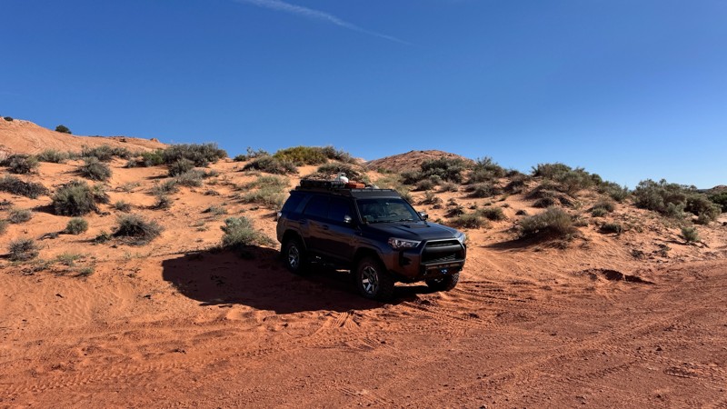
Heads of the Creek is a scenic trail that spans between Smoky Mountain Road and the intersections of Nipple Creek Road and Tibbet Canyon. Bordering along the Wahweap Wilderness Study, the trail drops in and out of washes and curves around the bases of unique formations like Pilot Rock, Weness Cove, John Henry Bench, and Clints Cove.

Camping is very limited on Heads of Creek. Most suitable spots have become popular with free-range cattle, making them places you would likely only want to stay at in a pinch.

Although no substantial obstacles are found on Heads of the Creek, this area is a major drainage for seasonal rain, meaning wash-outs can form quickly and increase the trail's difficulty, if not make it impassable completely. Mud in this area is notorious for stranding motorists until conditions dry out.
Utah: Big Thompson Mesa Road Hero Photo
All-Access Icon
5/5 (1 reviews)
Updated: 01/14/2025

Big Thompson Mesa Road

Bullfrog, Utah

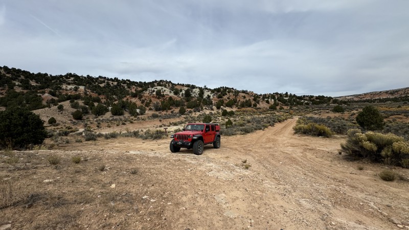
The Big Thompson Mesa Road in southern Utah offers a scenic drive through the heart of the region’s striking desert landscapes. This rough dirt road winds through the high desert, providing access to remote areas of natural beauty, including red rock formations, expansive mesas, and sweeping views of the surrounding canyons and valleys, including Water Pocket Fold. Although it is not as well known, Big Thompson Mesa Road is a worthy trip for offroad enthusiasts and adventurous travelers seeking a more isolated, off-the-beaten-path experience. The area’s rich geological features and dramatic vistas make it a hidden gem for those exploring southern Utah’s wild landscapes away from the more crowded tourist spots.
Utah: 121 Hero Photo
Scout Route Icon
0/5 (1 reviews)
Updated: 12/18/2024

121

Boulder, Utah

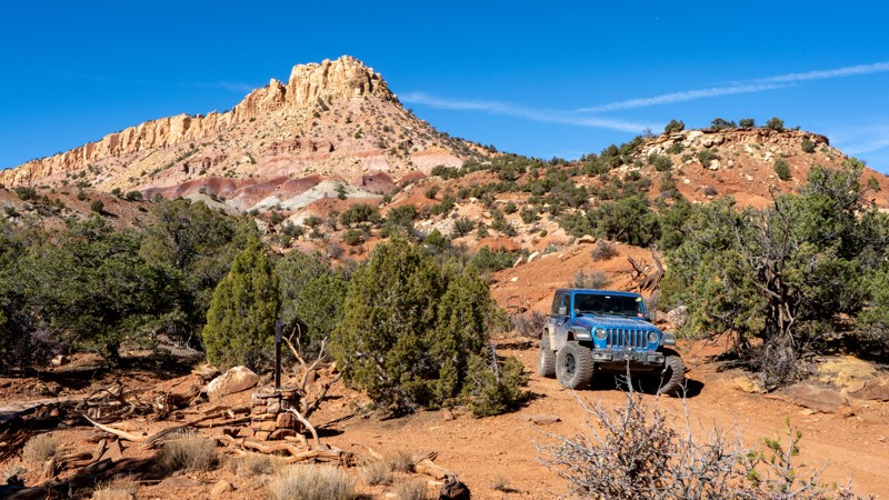
121 is a simple through-trail connecting Lampstand Road to the eastern paved portion of the Burr Trail. This is a well-maintained dirt road with no obstacles. Camping is limited to a couple of sites near the Burr Trail intersection. The good thing about these sites is that they are some of the few larger campsites in the area, able to accommodate 5-6 rigs and ground tents.

Utah: Lampstand Road Hero Photo
Scout Route Icon
4/5 (1 reviews)
Updated: 12/18/2024

Lampstand Road

Boulder, Utah

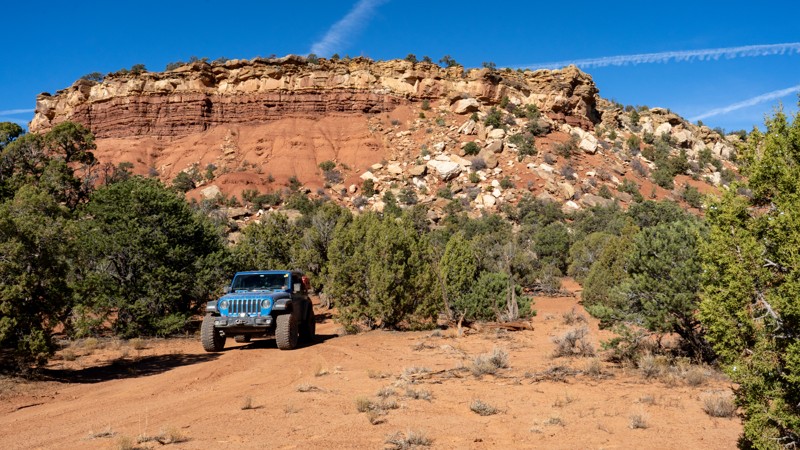
Acting as the main thoroughfare through a network of short spurs, Lampstand Road is a relatively maintained dirt road stretching from the Burr Trail into the Dixie National Forest near Impossible Peak. The bulk of the trail within the BLM boundaries is maintained with nothing more than a small washout slowing you down. Once you cross the border into the National Forest, the trail gets a little rougher with one small patch of exposed rocks where high clearance will be necessary. The trail forks a short distance after this obstacle, with tracks heading both north and south. Although the trail continues, it is severely washed out, and full-size vehicles cannot continue much farther. If you are trying to access the Stair Canyon hiking trail, park at the fork and walk the remaining portion of the trail.

Camping is available in many places along the trail in the form of dispersed camping. The nearest developed camping is Deer Creek Campground, located west on the Burr Trail, or Cedar Mesa Campground on Notom Road Scenic Byway.

Utah: Rock Spring Bench Road Hero Photo
Scout Route Icon
4/5 (1 reviews)
Updated: 12/18/2024

Rock Spring Bench Road

Henrieville, Utah

Rock Springs Bench Road is the first of many spurs you will encounter when driving the popular Cottonwood Canyon Road. This trail is unmaintained packed dirt, traversing a typical southern Utah desert landscape with wash crossings, occasional steep hills, and exposed embedded rocky patches. The most difficult part of this trail is the steep entry and exit from a few wash crossings. Long-wheelbase vehicles with bad approach or departure angles may struggle. One climb up a fin of dirt provides a small rock obstacle, but nothing that a stock high clearance 4WD vehicle can't handle. Views of the expansive terrain are the main draw for this out-and-back spur. Camping is limited to a few dispersed locations along the first stretch of the trail, offering no amenities.

Utah: Horse Canyon Road Hero Photo
Scout Route Icon
4/5 (1 reviews)
Updated: 01/07/2025

Horse Canyon Road

Boulder, Utah

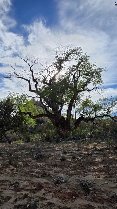
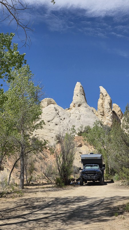
Horse Canyon Road is a spur off of Wolverine Loop Road, providing access to its namesake. Horse Canyon, as a geological feature, travels south to connect with Wolverine Canyon, Death Hollow, and eventually the Escalante River. Those seeking camping along Wolverine Loop Road can find an open site at the trailhead for Horse Canyon Road and one more shortly before the trailhead register, both of which have shade from large cottonwood trees that grow in the area. Overnight camping permits are required and free of charge, permit slips should be located in the trailhead register. Horse Canyon Road falls within the Grand Staircase-Escalante National Monument Resource Management Plan (RMP) for 2024, limiting travel beyond the mapped track.

Utah: Coyote Valley Road Hero Photo
Scout Route Icon
3/5 (1 reviews)
Updated: 12/31/2024

Coyote Valley Road

Paria, Utah

Coyote Valley Road is an easy dirt route serving as a southern connector between Cottonwood Road and Brigham Plains Road. A couple of campsites can be found at the southwestern end of the trail that are very exposed to the elements and are easily accessible, making them popular with trailer boondockers. Although Coyote Valley has no significant obstacles when rain falls in the area, the mud that forms is notorious for creating impassable conditions for nearly all vehicles. In dry conditions, the hardest part of the trail is a wash crossing at the northern end that may change in difficulty with erosion from seasonal rain. The colors of the surrounding plateaus frequently change from cool blue tones to golden hues depending on lighting and weather conditions. Have your camera ready!

Utah: Sinkholes Hero Photo
Scout Route Icon
2/5 (1 reviews)
Updated: 12/18/2024

Sinkholes

Boulder, Utah

Looping around and joining 121 to the Burr Trail pavement is Sinkholes, an unmaintained 2-track through junipers, pinyons, and open fields of sagebrush. This trail has a few minor washouts where high clearance is necessary. Even with the washouts, 2WD should be adequate to handle this bumpy trail. Despite the name, no sinkholes were found along the trail! The closest thing you will find is the large ravine alongside the southern end of the trail, with clear evidence of major flash floods. Camping is relatively limited to a few small campsites that may accommodate 1-2 vehicles each.

Utah: Brinkerhoff Spring Hero Photo
Scout Route Icon
3/5 (1 reviews)
Updated: 12/18/2024

Brinkerhoff Spring

Boulder, Utah

122 is a short camping spur leading off Lampstand Road and back to the cliffs. At the end, you will find evidence of an old corral and a dirty water tank. The only "moderately" difficult portions of the trail lie after the final camping options once you hit the final few hundred yards of trail. Washouts have caused deep ruts that will flex a stock suspension. If you are just interested in camping, this trail is just a bumpy dirt road. Camping is all small and only suitable for 1-2 vehicles.

Utah: Muley Twist Overlook Hero Photo
Scout Route Icon
5/5 (2 reviews)
Updated: 07/07/2025

Muley Twist Overlook

Boulder, Utah

Tucked away off the lightly used Sinkholes trail is a BLM 2-track leading to a gem of an overlook. From the moment you start this trail, bumps and washouts will keep you at a slow pace. Once you begin to climb a bit, a few rocky patches will emerge, warranting the need for 4WD and high clearance. Along the ridgeline, there are a few spots to pull over and view the impressive sights overlooking the Upper Muley Twist region. Camping is limited to one to two small, makeshift sites along the cliff edge, that are exposed to winds.

Utah: Wolverine Bypass Hero Photo
Scout Route Icon
3/5 (1 reviews)
Updated: 01/14/2026

Wolverine Bypass

Boulder, Utah

Wolverine Bypass provides a cut-over for those seeking to shorten their trip along Wolverine Loop Road. The trail is well-traveled and journeys through an area filled with scrubby juniper trees, dipping briefly into a windy section of a shallow canyon. A couple of campsites are located at the northern end of Wolverine Bypass, one with a scenic view of the surrounding mesas. The trail is suitable for any stock high-clearance vehicle in dry conditions, but be aware that seasonal rainfall creates flash flooding in the area.

If you plan to overnight camp within Grand Staircase - Escalante National Monument, be sure to obtain a Backcountry Permit at the Escalante Interagency Visitor Center or in most of the trail register boxes at hiking trailheads. Backcountry Permits for overnight stays are free and assist the BLM (Bureau of Land Management) with tracking public land use and can also assist with emergency response efforts. Day use does not require a backcountry permit, but please sign the trail register.

Utah: BLM 12260 Hero Photo
Scout Route Icon
4/5 (1 reviews)
Updated: 03/11/2025

BLM 12260

Ticaboo, Utah

BLM 12260 spans just over 3.25 miles as it runs parallel to The Reef before dead-ending at a scenic view of Long Canyon. Two campsites are found along the trail, with the larger one nestled among large boulders and the much smaller site at the base of the hardest part of the trail, a crumbly rock ledge. The uneven ground at the end of the trail makes it ill-suited for camping, but a great spot to take a lunch break. The trail is easy most of the way, made up of primarily rough dirt with small fist-sized rocks. However, halfway through the trail, you will encounter a 1-foot crumbly rock ledge on a small hill that necessitates the need for a high clearance, 4-wheel drive vehicle.

There is loads to see in the general area, from the big views of the southern end of The Reef to colorful bentonite hills and the sheer cliffs of deep canyons. Be sure to bring your camera and some extra time in the schedule to take it all in.

Utah: Silver Falls Road Hero Photo
Scout Route Icon
4/5 (1 reviews)
Updated: 03/11/2025

Silver Falls Road

Boulder, Utah

Silver Falls Road is a short 3.5-mile out-and-back trail traveling into the wide mouth of a canyon that eventually narrows as the path of Silver Falls Creek makes its way to the Escalante River. The motorized route comes to a dead-end at the boundary of the Glen Canyon National Recreation Area.

The general area around the start of the trail is also home to the historic Sneaky Prospect and Hotshot Prospect uranium mines, which are part of the Circle Cliffs Mining District.

A dispersed campsite can be found roughly 3 miles down the trail, with two more at the very end. If you plan to overnight camp within Grand Staircase - Escalante National Monument, be sure to obtain a Backcountry Permit at the Escalante Interagency Visitor Center or in most of the trail register boxes at hiking trailheads. Backcountry Permits for overnight stays are free and assist the BLM (Bureau of Land Management) with tracking public land use and can also assist with emergency response efforts. Day use does not require a backcountry permit, but please sign the trail register.

Utah: Round Valley Road Hero Photo
Scout Route Icon
2/5 (1 reviews)
Updated: 12/18/2024

Round Valley Road

Henrieville, Utah

Jogging north off Cottonwood Canyon Road, this maintained dirt road provides access to a small plot of Utah State land. Although the final destination is nothing spectacular, this trail does provide a few small camping locations on the ridge overlooking the mountains surrounding Cannonville and Tropic. These campsites are only large enough for 1-2 vehicles and have little in the way of flat ground for tents. The most difficult part of the trail is the descent into the small valley, with loose gravel covering the groomed dirt. Stock high-clearance vehicles will do just fine. Although the trail appears to continue around the fenced-off state land, official maps for the area do not list this portion, so please return the way you came.

Utah: 123 Hero Photo
Scout Route Icon
3/5 (1 reviews)
Updated: 12/18/2024

123

Boulder, Utah

Branching off Brinkerhoff Spring, 123 is a longer spur leading to a very random dead end with little room to turn around. The draw for this spur is the hiking offered that leads to the nearby plateau, with incredible views of the surrounding valley and cliffs. Obstacles along the trail include washouts and loose, chunky rocks that should pose no threat to stock, high-clearance 4WD vehicles. Camping is limited along this route and is all in the form of dispersed sites.

Utah: Middle Moody Canyon ORV Route Hero Photo
Scout Route Icon
3/5 (1 reviews)
Updated: 01/07/2025

Middle Moody Canyon ORV Route

Ticaboo, Utah

The Middle Moody Canyon ORV Route is a spur off Moody Creek Road within the Glen Canyon National Recreation Area (NRA). This is what the Glen Canyon NRA considers a Designated ORV Route and is open to conventional vehicles, OHVs, and street-legal ATVs. The route is a short 2-mile out-and-back and dead ends at a sizable turnaround spot with beautiful views of Middle Moody Canyon. The only camping on this trail would be at the turnaround spot, meaning you may have company if you stay there. This area is extremely remote and is the farthest south you can get within the Glen Canyon NRA via motorized travel when accessing from Burr Trail to the north. The hardest part you will encounter is a short and somewhat steep climb with patches of loose shale material that a stock 4WD vehicle can easily traverse.

Utah: Round Valley Draw Hero Photo
Scout Route Icon
3/5 (1 reviews)
Updated: 12/31/2024

Round Valley Draw

Henrieville, Utah

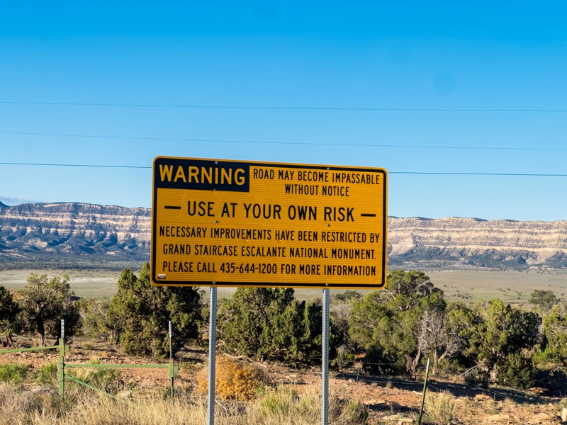
Providing access to the Round Valley Draw hiking trailhead, BLM 422 lies within the Grand Staircase - Escalante National Monument and stops short of the Paria-Hackberry Wilderness Study Area. A single campsite large enough for 1-2 vehicles is found at the end of the trail across from the small hiking trailhead parking area and registration box. Although the road seems to continue, clear signage is present after the parking area marking the end of BLM 422. This is likely due to the presence of the Wilderness Study Area and the revisions to the Travel Management Plan that have been taking place within the Grand Staircase - Escalante National Monument.

If you plan to overnight camp within Grand Staircase - Escalante National Monument, be sure to obtain a Backcountry Permit at the Escalante Interagency Visitor Center or in most of the trail register boxes at hiking trailheads. Backcountry Permits for overnight stays are free and assist the BLM (Bureau of Land Management) with tracking public land use and can also assist with emergency response efforts. Day use does not require a backcountry permit, but please sign the trail register.

Utah: Prospect Hero Photo
Scout Route Icon
2/5 (1 reviews)
Updated: 12/18/2024

Prospect

Boulder, Utah

Jogging south off Lampstand Road is BLM 125. This graded dirt road leads back into the juniper and pinyon trees. 2WD vehicles with high ground clearance are more than adequate to complete this trail. Camping is the main reason to travel, with a couple of nice sites tucked away from the more crowded Burr Trail options. Hiking is also available at the trail's end, heading back towards Egg Canyon and Lamanite Arch.

Utah: 124 Hero Photo
Scout Route Icon
1/5 (1 reviews)
Updated: 12/18/2024

124

Boulder, Utah

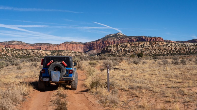
Another camping spur branching off of Lampstand Road, 124 is an easy route to a campsite nestled in a handful of large boulders. The trail crosses a wash and seemingly dead-ends in a sagebrush field, where another, less desirable campsite lies. Impressive views of the Lampstand are had from the entirety of this trail as you drive just north of its shadow. Although not a destination itself, 124 provides relief from the more busy areas of the Burr Trail, offering peace and quiet to those looking to set up camp for the night.

Utah: 126 Hero Photo
Scout Route Icon
3/5 (1 reviews)
Updated: 12/18/2024

126

Boulder, Utah

Branching off Lampstand Road, 126 is a short and sweet spur providing numerous camping options away from the more popular sites located close to the Burr Trail. There are no obstacles, and this trail is occasionally graded, so the only obstacles you may encounter are ruts and washouts from recent rain storms. Any vehicle with decent ground clearance will be able to complete this short spur. Campsites are dotted among the shady juniper and pinyon trees and are generally large enough for 1-2 vehicles with tents.