Region

Moab

Utah

Offroad Trails in Moab

A Region within Utah
4.5/5 (2931)

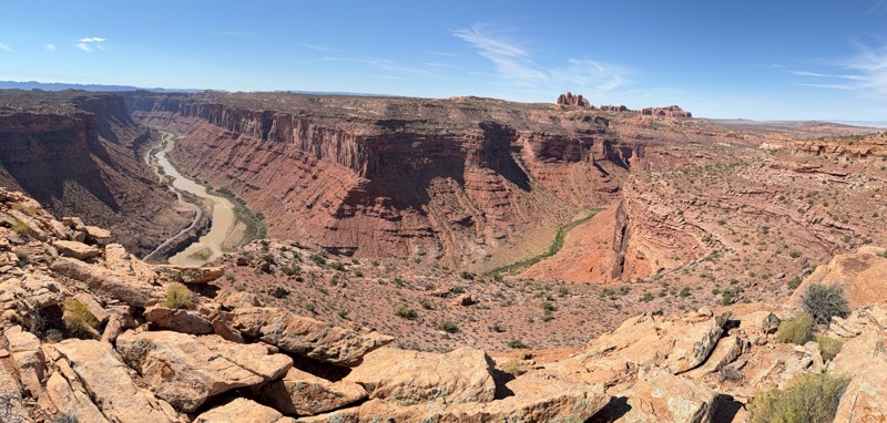
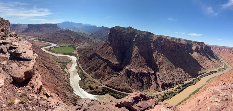
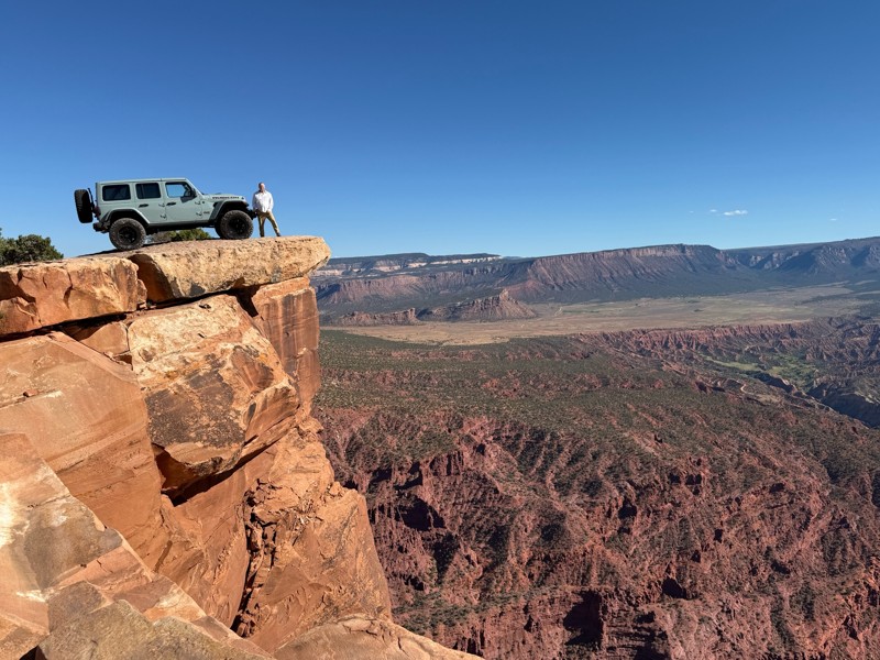
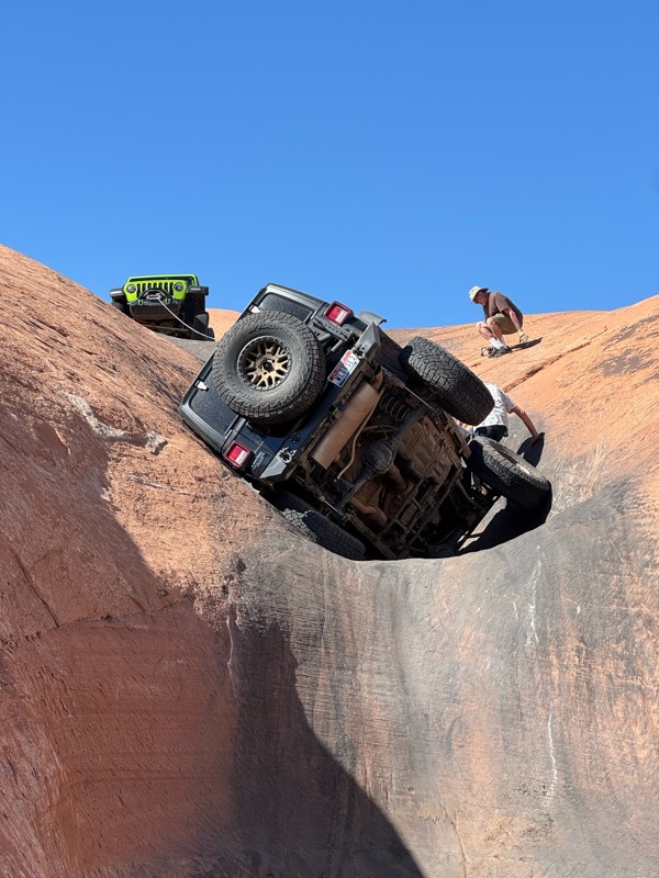
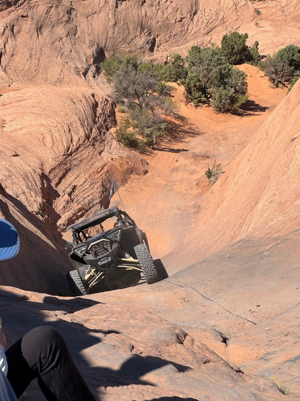
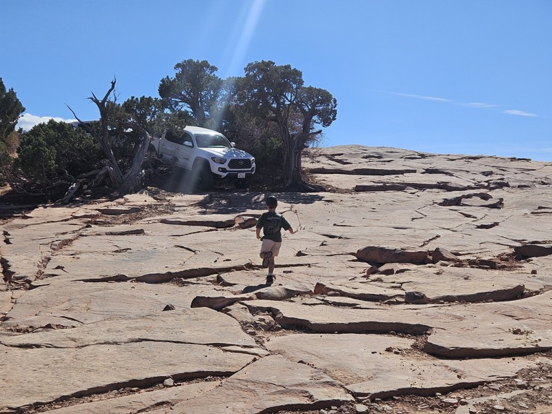
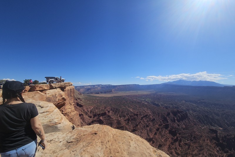
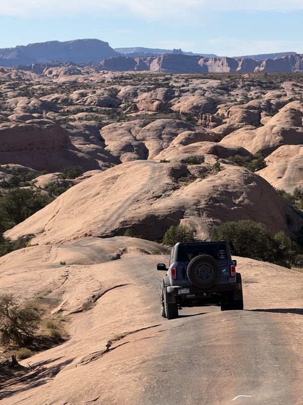
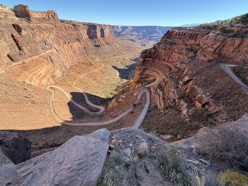
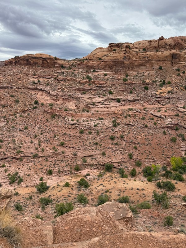
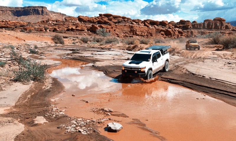
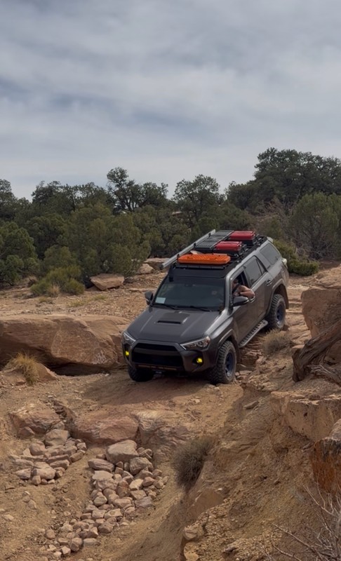
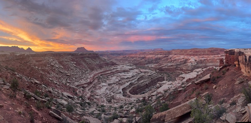
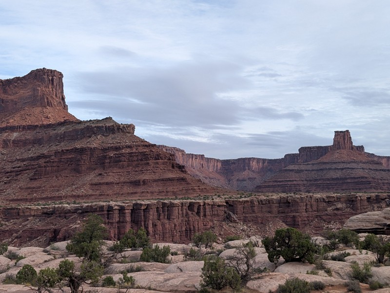
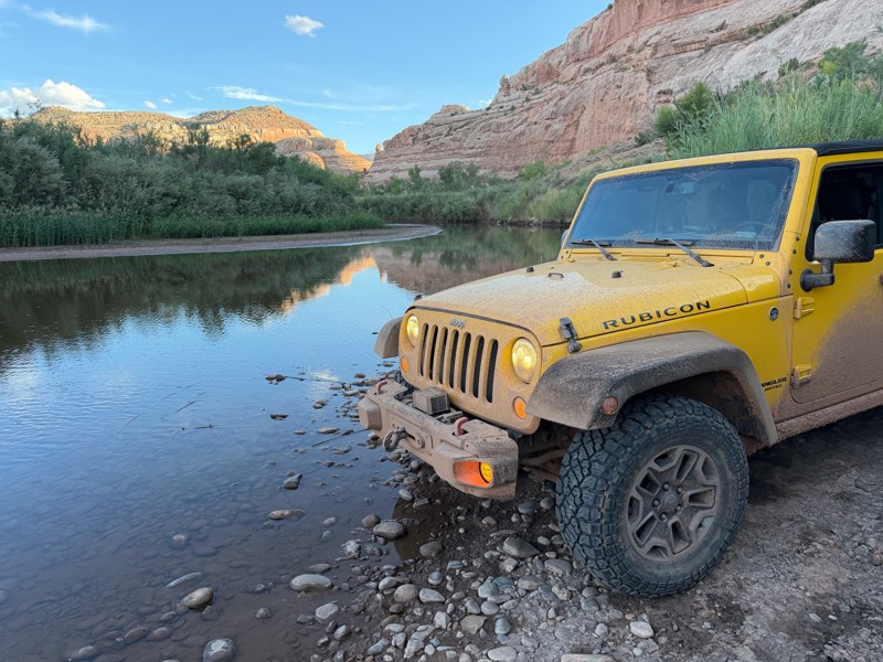
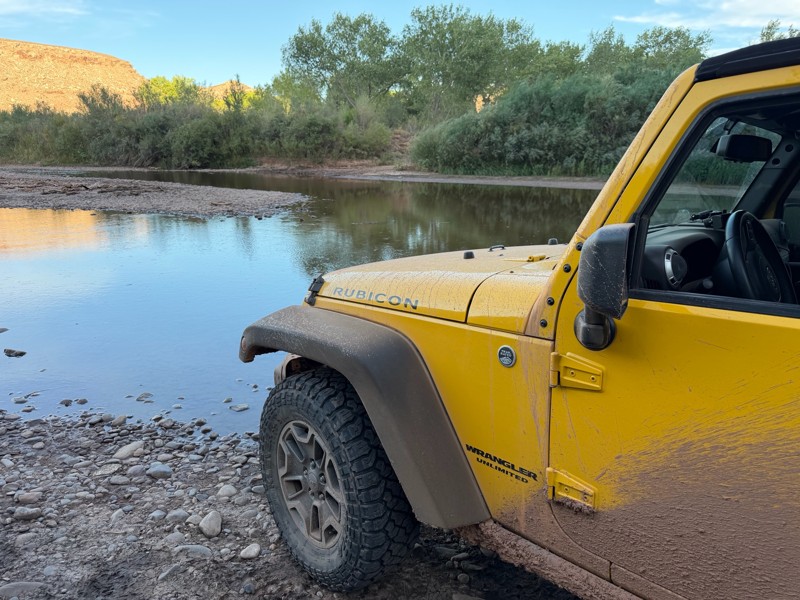
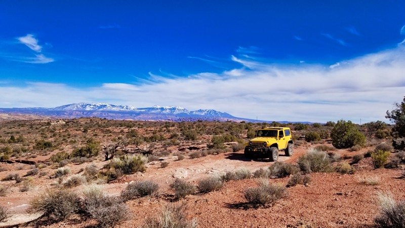
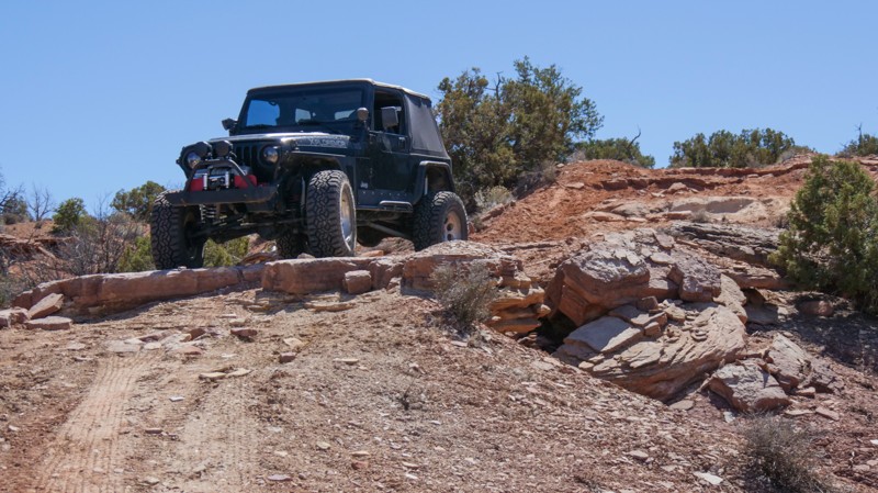
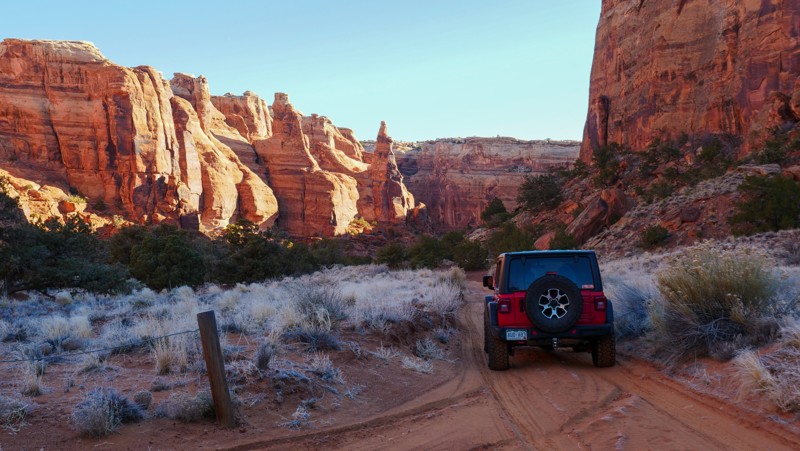
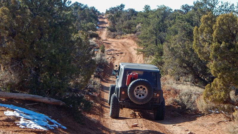
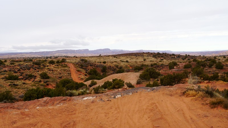
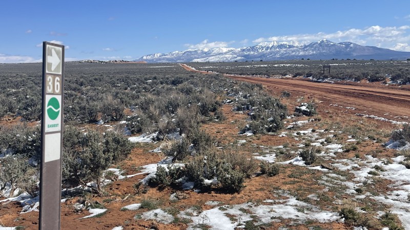
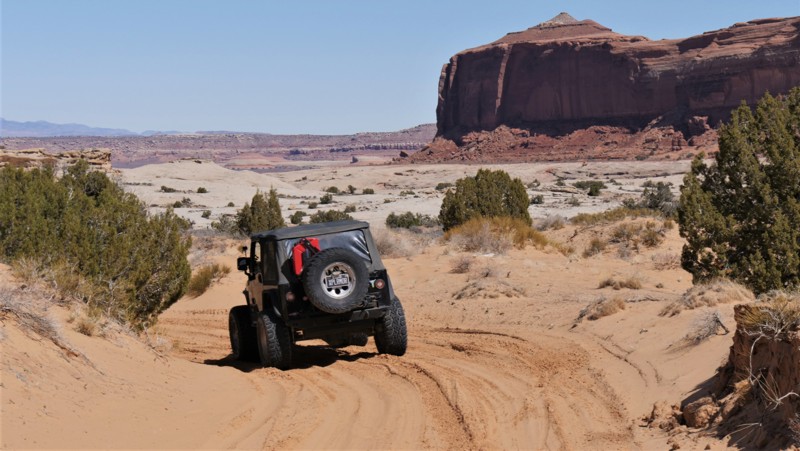
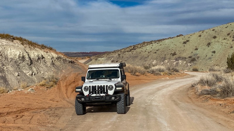
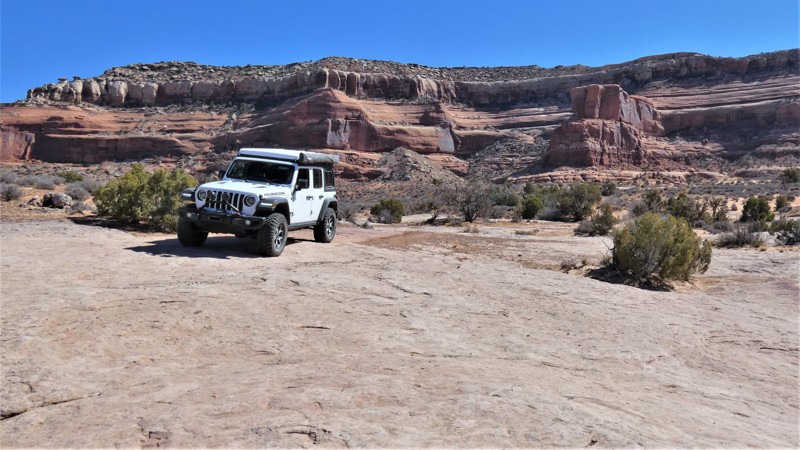
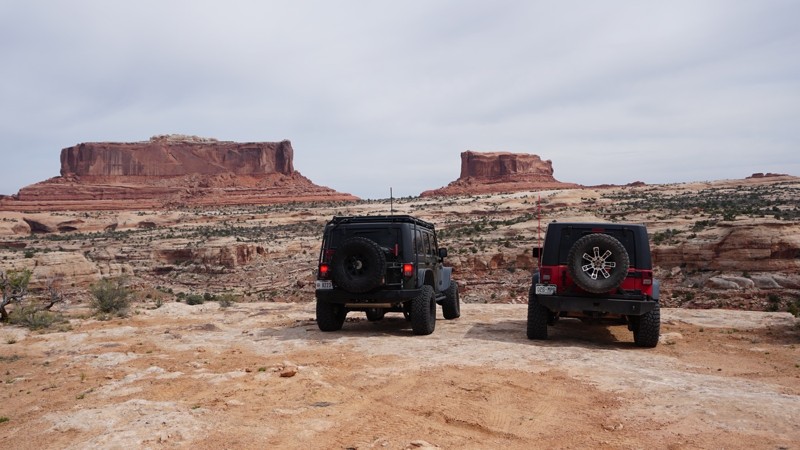
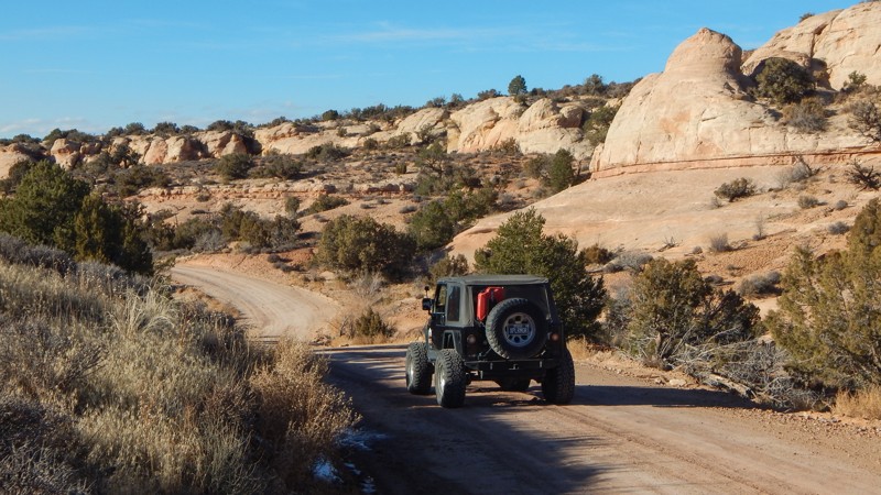
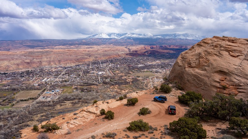
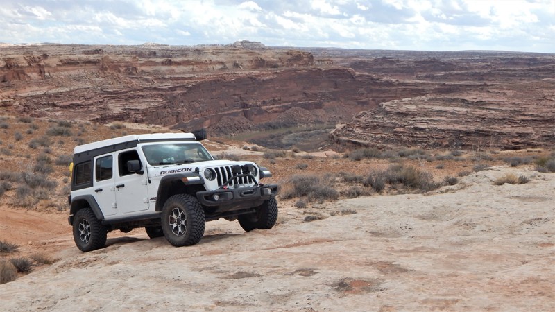
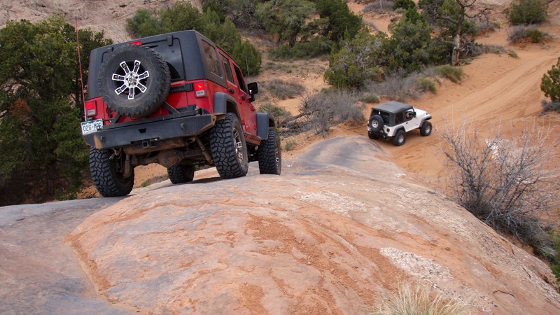
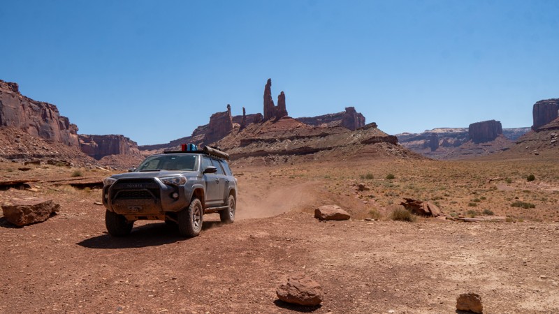
Moab, Utah, is renowned worldwide as a premier destination for offroad enthusiasts. Nestled in the heart of the American Southwest, Moab offers a diverse array of trails that cater to all skill levels. Whether it's an overland or rock crawling adventure you are looking for, this stunning red rock landscape offers 100s of open roads and trails that range from easy to extreme. The area spans over 103,000 square miles and includes lands managed by the Bureau of Land Management, The Manti-La Sal National Forest, Utah State Trust Land, Arches and Canyonlands National Parks, and the Sand Flats Recreation Area.

While the most well-known trails, such as Hell’s Revenge, Fins and Things, Poison Spyder, The White Rim Trail, and the Rimrocker, are typically the main attractions, the area is home to plenty of hidden gems worth exploring.

While visiting and riding the trails, enjoy Arches and Canyonlands National Parks to round out your trip. Plan accordingly because Arches now has a timed entry system from April through November, where you need a permit to enter. It is also important to know that summers can have extreme heat with monsoons, and even though it is a high-plain desert, it can snow in the winter months.

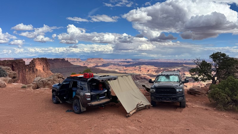
Dispersed camping is limited and only available in designated areas. Each Trails Offroad trail guide lists the various camping opportunities, including BLM’s designated campsites. BLM also manages several campgrounds with vault toilets and picnic tables. Within the town of Moab, you can find various lodging and dining opportunities and repair and maintenance services for your vehicle.


Top Reasons to Explore Here

Basemaps
Go All-Access to Unlock


TRAILS OFFROAD™ TRAIL TYPES
Trail Guide
Full detailed write up with Advanced Rating System, Waypoints, Video, and more.
Scout Route
Lite version with highlights, camping, and hardest part documented. Vetted in person.
TRAIL DIFFICULTY RATINGS
easy (1-2)
Suitable for high clearance 2WD
moderate (3-4)
Best suited for a high clearance 4x4
difficult (5-6)
Best suited for a lightly modified 4x4
severe (7-8)
Best suited for a highly modified 4x4
extreme (9-10)
Best suited for specialized buggy type vehicles
LAYERS

Most Recent Trail Reviews

Most Popular

Search for Trails
Utah: Arths Pasture Road Hero Photo
All-Access Icon
4.5/5 (6 reviews)
Updated: 10/31/2023

Arths Pasture Road

Moab, Utah

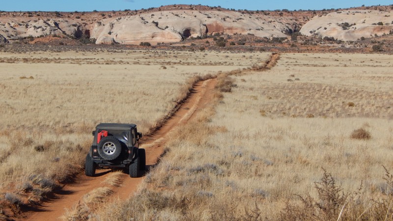
After an adrenaline-charged day of tackling Moab's more demanding offroad trails, Arth's Pasture serves as the perfect cooldown. While less technical, this trail doesn't compromise on the natural spectacle; it offers consistent, picturesque views toward the La Sal Mountains, making it a favorite spot for photo ops. As you reach the trail's end, the vista reveals the Manti-La Sal National Forest Mountain range and its surrounding wilderness. Although initially an exit route for the more intense Metal Masher, Arth's Pasture holds its own as a standalone out-and-back journey. For those looking to extend their adventure, this trail pairs excellently with nearby routes like Gemini Bridges, Four Arches Canyon, and Bull Canyon, making it an essential part of a full day of scenic yet manageable wheeling.

Utah: Mineral Point Road to Spring Canyon Bottom Road Hero Photo
All-Access Icon
4.3/5 (7 reviews)
Updated: 12/26/2023

Mineral Point Road to Spring Canyon Bottom Road

Moab, Utah

The iconic Hell Roaring Rim (HRR) route has become popular. Known as a family-friendly trail with spectacular views of the desert, this portion of HRR challenges even the most seasoned wheelers. Rocky ledges are overly abundant along this slow, bumpy traverse. You create the iconic HRR route and an all-day scenic adventure by connecting with the Mineral Point and Mineral Point Return via Hell Roaring trails. You'll wind through a diverse and well-preserved desert landscape with a hike to Tibbetts Arch and endless views of the canyons and distant mountains.

Utah: Bride Canyon Hero Photo
Scout Route Icon
4.2/5 (4 reviews)
Updated: 04/28/2025

Bride Canyon

Moab, Utah
Bride Canyon is the only place you can camp along Gemini Bridges Road. The trail has five designated sites, all somewhat different from one another. Site 1 and 2 offer a little larger space and are flatter. While taking it in, don't forget to look up the north canyon wall to spot Bride Canyon Arch. Arrive early, as there are no reservations or fees associated with these sites. They are first come, first serve.
Utah: Trail Canyon (Dome Plateau) Hero Photo
All-Access Icon
2/5 (1 reviews)
Updated: 02/26/2025

Trail Canyon (Dome Plateau)

Moab, Utah

Traveling through the wide, highlands of its namesake, Trail Canyon takes users across the top of the Highlands before quickly dropping down into a rugged and dense tree-lined drained. In either direction, this section of the iconic Dome Plateau Loop adds a little difficulty when you plan to visit the Dome Plateau Overlook. This route also offers access to several lesser-known overlooks of the canyon and the Colorado River.

Utah: Fins and Things - Alternate Route (The Wall) Hero Photo
Scout Route Icon
5/5 (8 reviews)
Updated: 06/10/2026

Fins and Things - Alternate Route (The Wall)

Moab, Utah
The Wall is an alternate route along the southern section of Fins and Things.  It is one-way only, starting at Waypoint 15.    It provides one of the more undulated obstacles throughout Fins and Things, meaning this obstacle is not smooth.  If you are new to offroading, you will want to disconnect your sway bars and most likely have a spotter.  If you are looking for more difficult options, this one won't take that much time to run as it is very short! 
Utah: Yellow Cat Road Hero Photo
Scout Route Icon
3/5 (6 reviews)
Updated: 10/08/2026

Yellow Cat Road

Thompson Springs, Utah
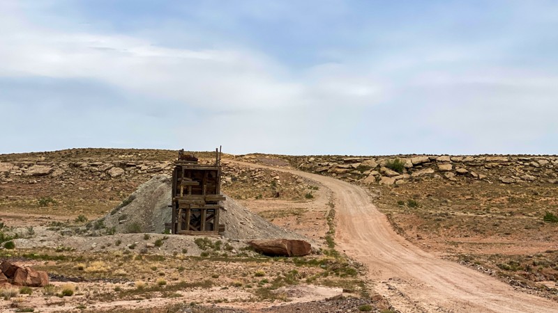
The road is as easy as it gets. It is a "B" designated route, meaning it gets maintained. It is one of the main roads in the area from its namesake, "Yellow Cat." The uranium mining boom of the 1950s used to make nuclear power and weapons. The road will change on the southern edge from flat roads with an open plains feel and begin to expose fascinating rock formations of all shapes and sizes with colors including white, red, and purplish, all with the La Sal Mountains looming in the background. Old mining ruins dot the route. The road has only minimal pre-existing camping opportunities. The trail is a narrow, steep shelf road comprised of clay that can become impassable when wet. There is also a wash towards the northeast that could be problematic in the rain.
Utah: Box Car Loop Hero Photo
Scout Route Icon
5/5 (2 reviews)
Updated: 10/15/2024

Box Car Loop

Spanish Valley, Utah
If you are looking for a trail that not many know about and definitely away from the bustle of Moab, "Box Car Loop" is the answer. This fun 19.57-mile loop starts and ends on the Needles Overlook Road. The trail is a mix of fast pasture sandy road with some whoops. There's a technical downhill section into a lower canyon, and then the trail climbs back up on some slickrock. There are several lookouts into Trout Water Canyon, which is the location of the Kane Creek Canyon trail. There are a few camping spots to be found, so this might make a great trail for exploring overland style.
Utah: Duma Point Road Hero Photo
All-Access Icon
4.2/5 (5 reviews)
Updated: 05/13/2025

Duma Point Road

Green River, Utah

Are you looking for an oasis in the desert? How about welcoming shade and a flowing creek in the middle of Utah's red desert? Dripping Springs is the start of a riparian beltway stretching to the banks of the Green River. The dense trees and vegetation thriving within Ten Mile Canyon are a hiker and bird watcher's paradise. In the winter, look for predator birds nesting within the nooks of the cliff walls. The shade under the cottonwood trees in the summer is a welcome reprieve. Gold-colored fall leaves create a vibrant contrast to the surrounding rock formations. When combined with other nearby trails, Duma Point Road adds a unique cooling break to an otherwise hot day in the high desert.

Utah: Mill Canyon - Tusher Road Hero Photo
Scout Route Icon
3.4/5 (8 reviews)
Updated: 09/23/2026

Mill Canyon - Tusher Road

Moab, Utah
Mill Canyon is also known as Tusher Road. It is graded and easy to follow with plenty of traffic. It leads to several other more famous trails such as Sevenmile Rim, Tusher Tunnel, Bartlett Wash, Monitor and Merrimac Jeep Trail, and Courthouse Pasture. There are also designated campsites along the route and hikes to dinosaur tracks.
Utah: Bartlett Flat Hero Photo
All-Access Icon
3.8/5 (5 reviews)
Updated: 05/04/2024

Bartlett Flat

Moab, Utah

Take a leisurely scenic tour along one of the lesser-known trails in the region. Bartlett Flat is an excellent alternative to the more congested trails within the area. The trail easily travels below a towering red cliff before zigzagging through the scattered rock formations that dot the valley. You'll roll through long stretches of bright red sand and across long, solid rock slabs. For the cautious traveler or less experienced rock crawler, connecting this with Bartlett Overlook is a fun day and an ideal way to experience Moab without all the risks of challenging obstacles.

Utah: Coyote Canyon  Hero Photo
All-Access Icon
5/5 (13 reviews)
Updated: 02/16/2024

Coyote Canyon

Moab, Utah
Coyote Canyon is a rock crawler's dream trail. Located just south of Moab, the loop is .65 miles of continuous rocks and challenges. Big climbs, tight maneuvers, and multiple lines will keep your attention glued to the trail for the entire trip. Ascending obstacles, descending obstacles, careful tire placement, and expert spotting is required to complete the route unscathed. If your rig has a weak point, Coyote Canyon will be sure to point it out. It's not every day you get a chance to have your own private rock crawling trail, and that's why Coyote Canyon should be on your bucket list!
Utah: Pole Canyon Rim Hero Photo
Scout Route Icon
4.8/5 (5 reviews)
Updated: 04/10/2026

Pole Canyon Rim

Dewey, Utah

With birdseye views 1,200 feet above the Colorado River, Pole Canyon Rim is an amazingly scenic in-and-out trail that leads to several overlooks. Beginning and ending on Entrada Bluffs, the trail starts as a fairly easy dirt and slickrock track passing Mule Shoe and Pole Canyon, with several campsites overlooking this canyon. As you continue south, the road becomes rockier and rougher, encountering small ledges less than 10 inches. A few miles in, the trail intersects with Powerpole Rim, where you can continue along the moderate and rough route or take a much harder Powerpole route to the rim overlooks. Eventually, the trail turns sharply and heads northwest, forking one more time. The southernmost fork leads to a rim-side overlook high above the Colorado River, and the northmost fork leads to a plateau overlook with 360-degree views. This northwest stretch of trail is quite narrow as it weaves through thick brush, and pinstriping is likely. There is plenty of opportunity to camp at the end of both fingers and amazing views in all directions.

This trail is suitable for any high clearance 4x4 or AWD vehicle. Low-range will likely not be used during your travels, but airing down is highly encouraged to ease in comfort of the ride.
Utah: Secret Spire Hero Photo
All-Access Icon
4.8/5 (8 reviews)
Updated: 11/04/2025

Secret Spire

Crescent Junction, Utah

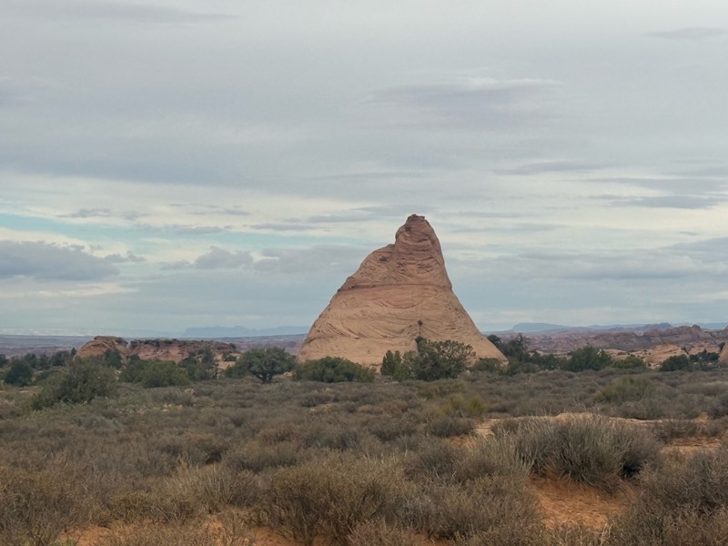
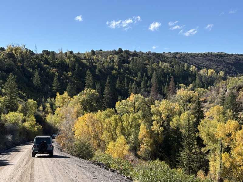
Part of an Easter Jeep Safari route, Secret Spire is a short, scenic drive across sandy two-track and slickrock on the mesa between Hellroaring and Spring Canyons. It rolls over small sandstone ledges that flex suspension and lightly test traction while staying beginner and stock-friendly. What it lacks in difficulty, it makes up for in scenery and geology, with flowing Navajo sandstone, sculpted hoodoos, and the namesake mushroom-shaped spire perched on a smooth dome at the halfway point.

Utah: Dee Pass Hero Photo
All-Access Icon
5/5 (4 reviews)
Updated: 06/05/2022

Dee Pass

Green River, Utah

Four-wheeling on the moon. That's how traversing this rugged, but oddly serene Utah desert trail feels. The different layers of colored dirt create a kaleidoscope of colors. The ground is virtually void of plant life, yet the landscape is alive with color. Dee Pass transports you over numerous colorful and rocky hills with unique panoramas. The La Sal Mountains create a perfect backdrop as you weave through the maze of balance rocks and narrow ledges. Dee Pass is not your typical Moab trail but part of the Easter Jeep Safari Crystal Geyser route.


Utah: Merrimac and Monitor Butte Viewpoint Hero Photo
All-Access Icon
3/5 (2 reviews)
Updated: 12/26/2023

Merrimac and Monitor Butte Viewpoint

Moab, Utah

Situated on the way to Canyonlands Island in the Sky District and Deadhorse State Park, this offroad trail is hidden amidst the paved and improved tourist areas directly off Highway 313. Named after the famous Merrimac and Monitor Civil War-era ironclads, it makes for a quick side trip when wheeling other trails in the Moab area. While not the most amazing trail, it takes you to a more up-close and personal view of Merrimac and Monitor Buttes and gives you a good bird's-eye view down into Seven Mile Canyon. It is perfect for the person looking to get used to driving offroad before tackling the more challenging trails in the area.

Utah: Dark Canyon Lake Road Hero Photo
Scout Route Icon
4/5 (2 reviews)
Updated: 05/23/2025

Dark Canyon Lake Road

La Sal, Utah

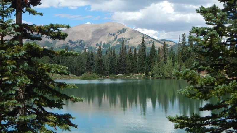
Dark Canyon Lake Road is a beautiful and leisurely cruise through dense forest and towering mountain peaks over 12,000 feet. The trail connects Two-Mile Road and Geyser Pass on a 12.8-mile gravel and hard-packed dirt road winding through a scenic pass. During winter months, Geyser Pass Road can be closed, and Dark Canyon Lake Road may be impassable. Along the way, a high clearance trail leads down to Dark Canyon Lake, a must-stop. There is a turn-around parking area for a few vehicles at the lake. Most of the shoreline is private, but there is a small area to get your toes wet and enjoy a mountain lake view. Camping is relatively abundant along the route. There are numerous primitive campsites on the 4x4 side trails, or you can camp at one of the organized campgrounds in the area.

Utah: Highlands Road Hero Photo
All-Access Icon
3/5 (4 reviews)
Updated: 01/08/2024

Highlands Road

Moab, Utah

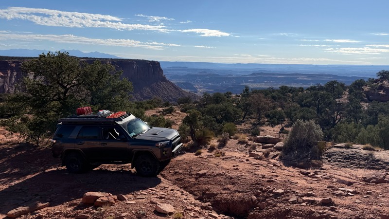
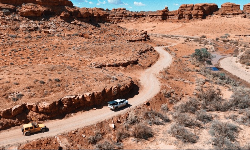
While Highlands Road may not be a "destination trail," you'll likely have to use this easy trail to visit the popular Dome Plateau Overlook. Winding across the Highlands of the Dome Plateau, the road travels past colorful sandstone cliffs and sprawling meadows with distant views of the La Sal Mountains. Numerous 4x4 trails branch off this county road, leading to overlooks, log cabins, and other hidden gems.

Utah: Squaw Park (Dome Plateau) Hero Photo
All-Access Icon
5/5 (5 reviews)
Updated: 02/26/2025

Squaw Park (Dome Plateau)

Moab, Utah

Part of the Dome Plateau Loop, Squaw Park is a leisurely scenic tour across tall grass meadows and towering sandstone cliffs with multiple caves to explore. Cave Spring is a unique natural feature where a natural spring drips out of the cave walls, creating a colorful oasis within the cliff wall. You'll want to plan extra time to hike up into the caves to see how far they go!

Utah: Barney's Overlook Hero Photo
Scout Route Icon
4.5/5 (4 reviews)
Updated: 04/10/2026

Barney's Overlook

Moab, Utah

Barney's Overlook is a spur trail off the northeast portion of the Poison Spider loop that takes you to an epic campsite behind Pig Rock with an incredible bird's eye view of the downtown Moab Valley. The road to the two viewpoints along the cliff edge starts as a sandy trail but quickly transitions to a rough, slow, and rocky track across many small, jagged, slickrock ledges. Camping at the end is exposed to the wind depending on direction, but the ground is level. A few soft sandy spots will make for a great floor bottom for a tent.

This trail is suitable for any high clearance 4x4.

Utah: 10 Mile Point Hero Photo
Scout Route Icon
4.8/5 (4 reviews)
Updated: 02/18/2025

10 Mile Point

Green River, Utah

Take a beautiful journey out to one of Moab's most breathtaking overlooks. 10 Mile Point starts as a maintained graded dirt road but ends on the rim, 400 feet above the Green River. The further you travel on this trail, the rougher it gets. There are several very bumpy sections, and towards the end, there is mild "rock crawling." You will need high clearance and possibly 4x4 for the soft sand or if you become high centered on a rock. This area is remote and not very busy; go over-prepared—plenty of free camping along this route.

Utah: Fins and Things Alternate (Fin) Hero Photo
Scout Route Icon
5/5 (4 reviews)
Updated: 06/30/2025

Fins and Things Alternate (Fin)

Moab, Utah

One of the many options on Fins and Things, this alternate track ramps up the excitement with a tricky descent down a razor-edge fin. Suitable for experienced drivers with capable vehicles and should not be attempted in slippery conditions.

Utah: Taylor Canyon Hero Photo
All-Access Icon
4.7/5 (4 reviews)
Updated: 06/20/2023

Taylor Canyon

Moab, Utah
The Canyonland's Island in the Sky District lays an expansive landscape of many plateaus and cliffs that reach more than 1000 feet above the Colorado and Green Rivers that border on three sides. Within the area is Taylor Canyon, a relatively short, 5-mile four-wheel-drive trail with enormous cliffs towering over you every step of the way. The sheer size of the cliffs and plateaus can make you feel insignificant in comparison. Making you feel even smaller, is your grand prize at the end, two buttes named Zeus and Moses standing there talking with one another through eternity. Taylor Canyon is a great trail for a stand-alone outing or added in the iconic White Rim for a truly epic adventure.
Utah: Colorado River Overlook Alternate Route Hero Photo
All-Access Icon
4/5 (2 reviews)
Updated: 06/05/2022

Colorado River Overlook Alternate Route

Monticello, Utah
This is an alternate route to the Colorado River Overlook four-wheel drive road within the Canyonlands Needles District. It offers a quick trip to the cliffs overlooking the mighty Colorado River. The Overlook is the easiest of backcountry roads within the Needles District, which has over 50 miles of roads which all lead you through the natural wonders of the area. This road takes you through the high desert with wide open views and it ends with an amazing view of the Colorado River and its associated canyons. This return route gives you a different perspective from the way you came in.
Utah: Pyramid Butte Hero Photo
Scout Route Icon
5/5 (5 reviews)
Updated: 01/20/2026

Pyramid Butte

Moab, Utah

From Potash Road, Pyramid Butte travels to the edge of the Colorado River, where you can see across to Chicken Corners. The road is primarily soft dirt and would be difficult in wet weather due to mud. A few patches of rocky soil are filled with goofball to baseball-sized rocks. Interestingly, patches of prickly pear cacti and sand dunes are built up against its namesake, Pyramid Butte. No camping is permitted.