Region

Moab

Utah

Offroad Trails in Moab

A Region within Utah
4.5/5 (2928)

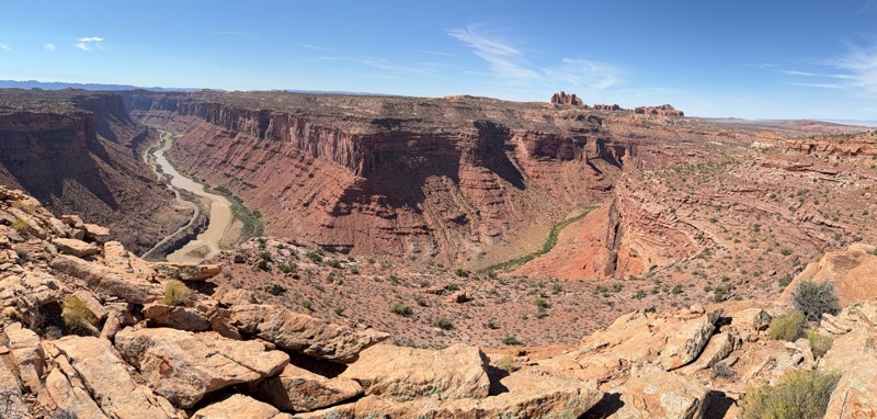
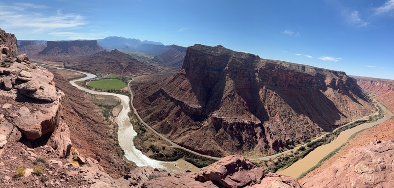
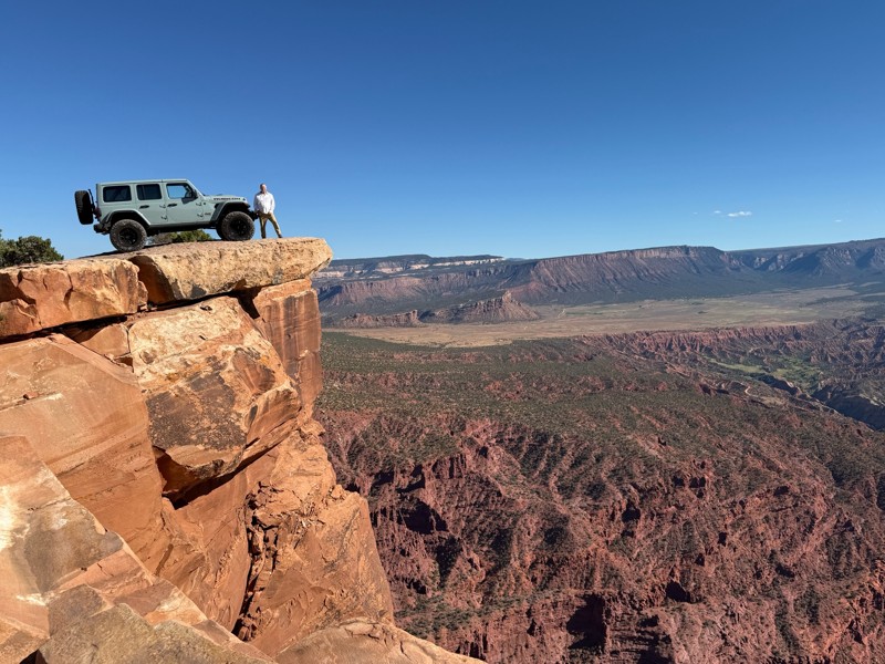
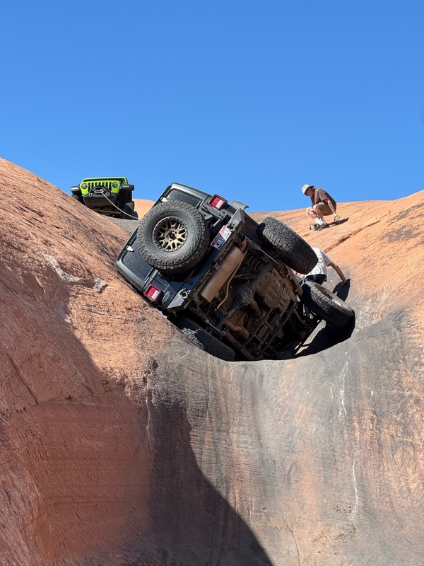
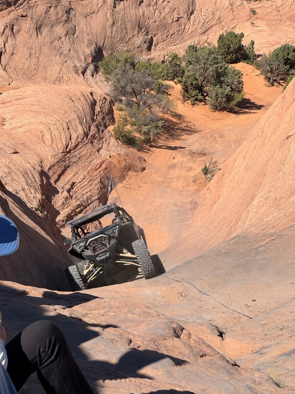
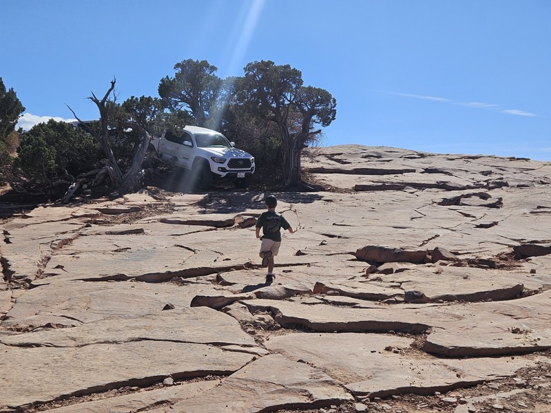
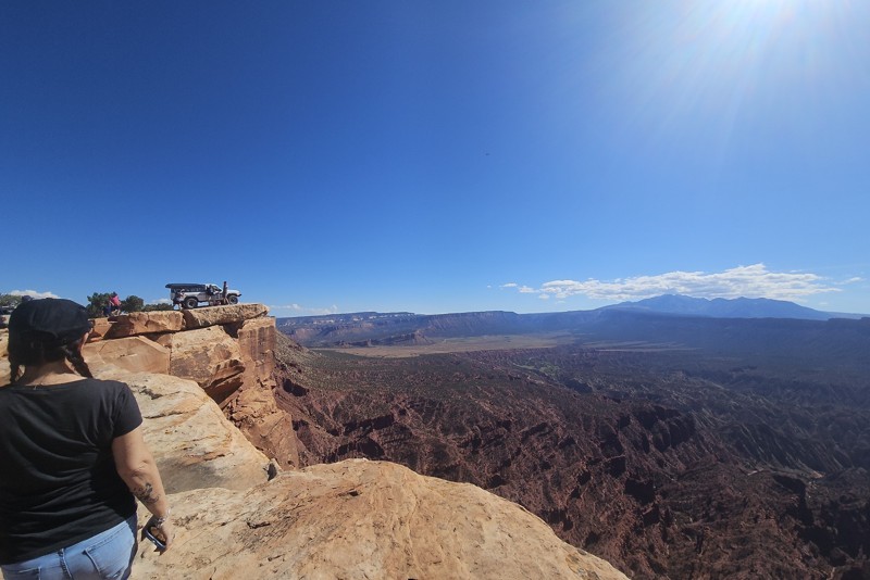
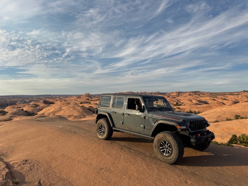
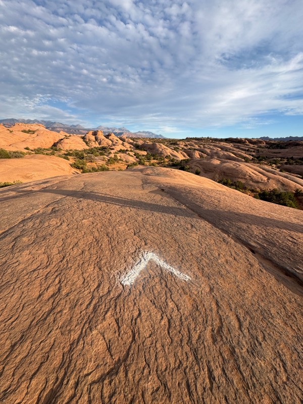
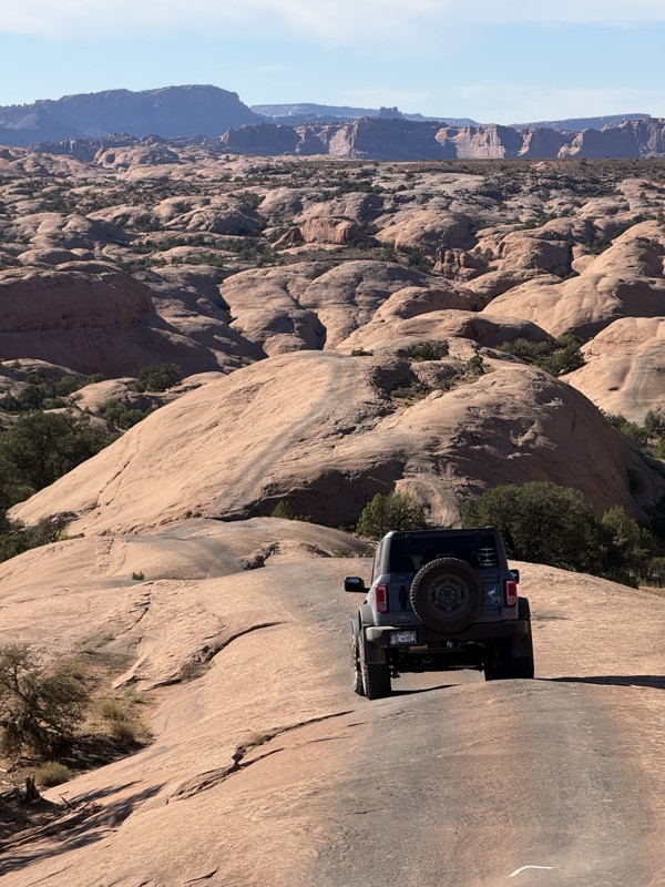
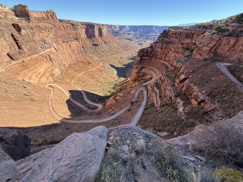
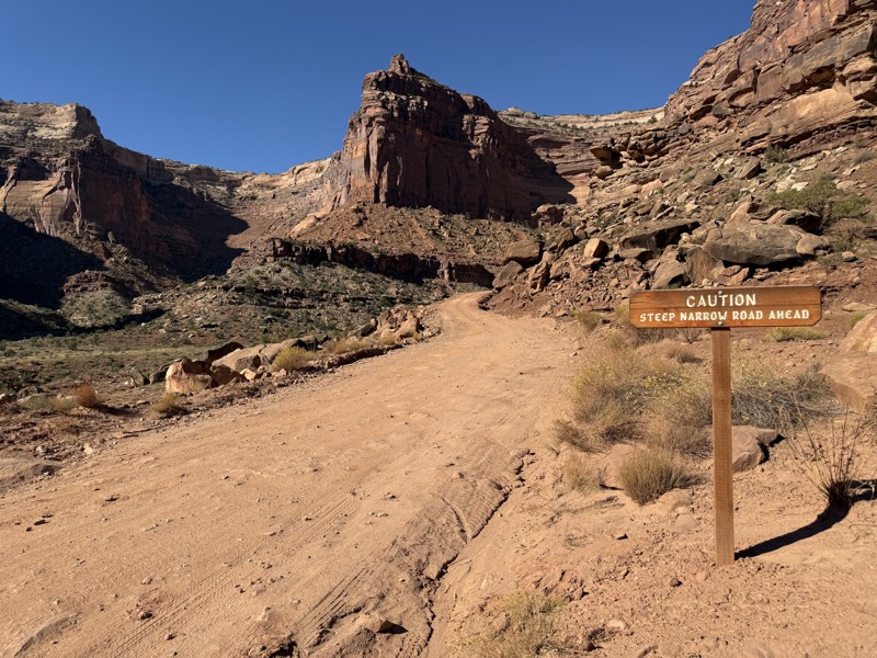
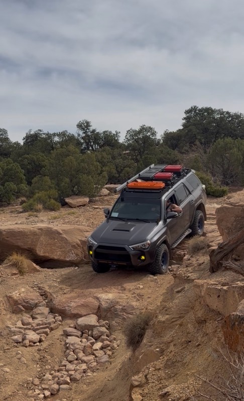
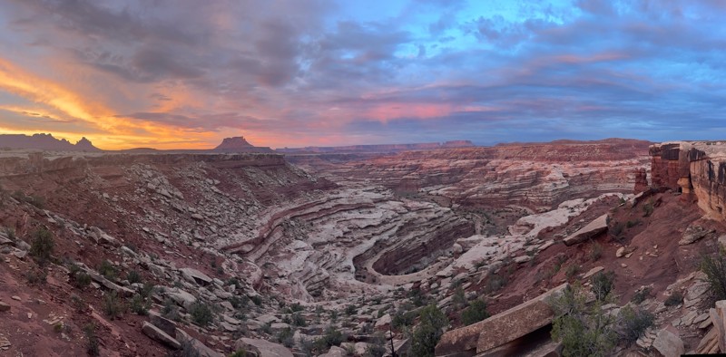
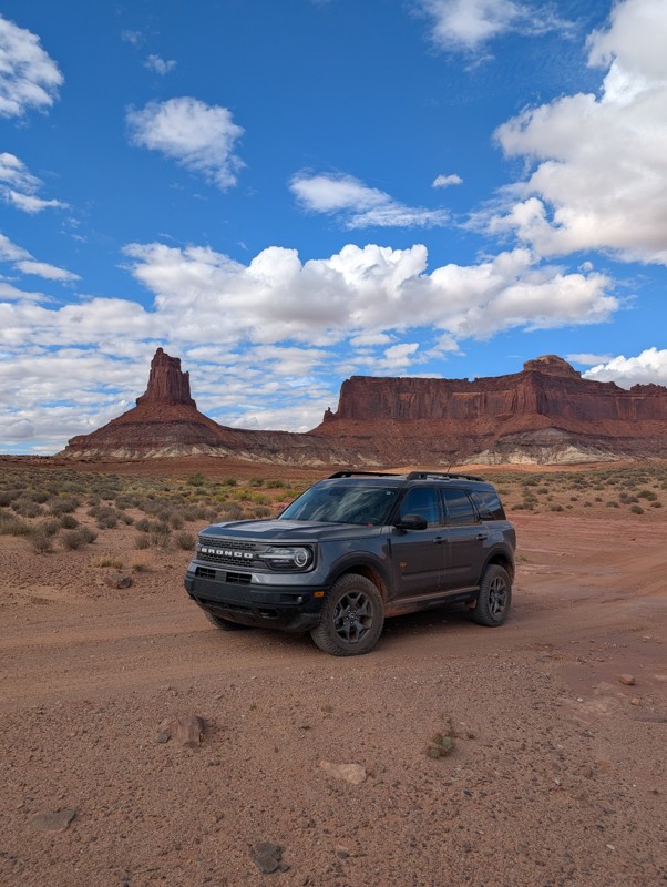
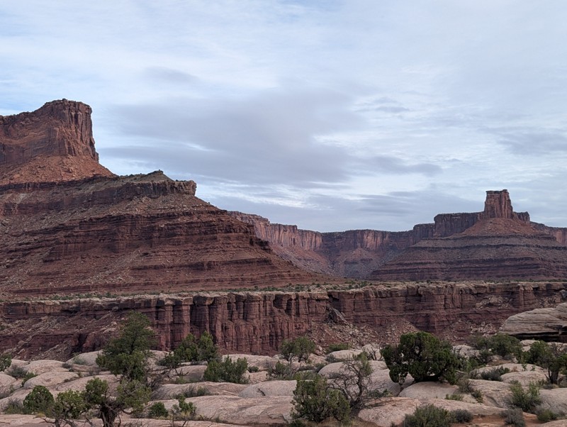
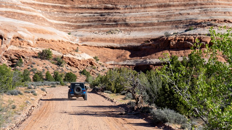
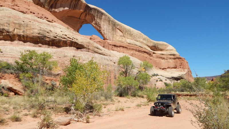
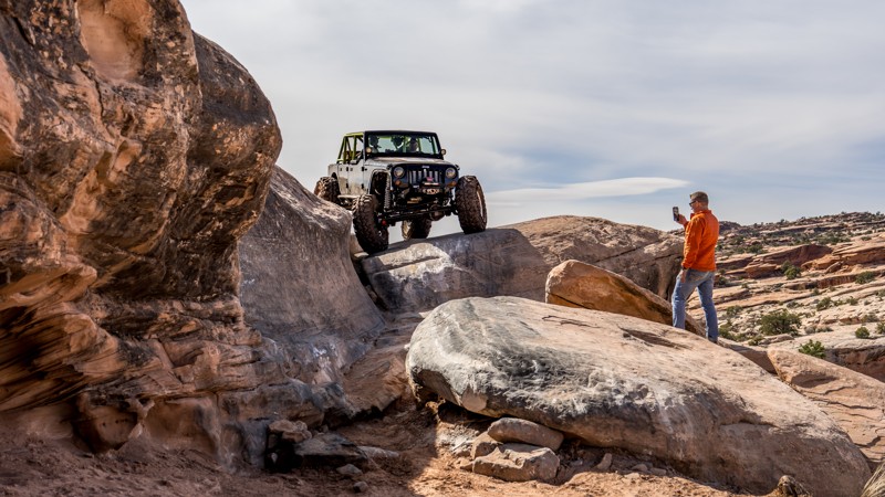
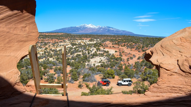
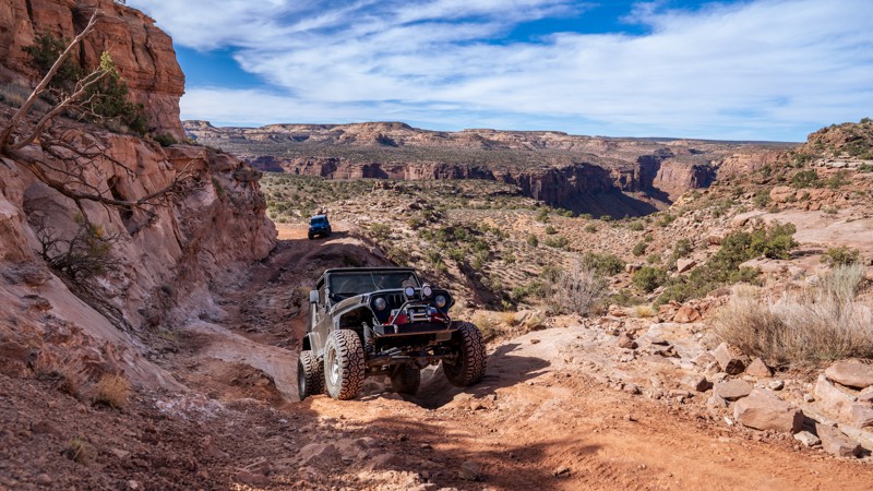
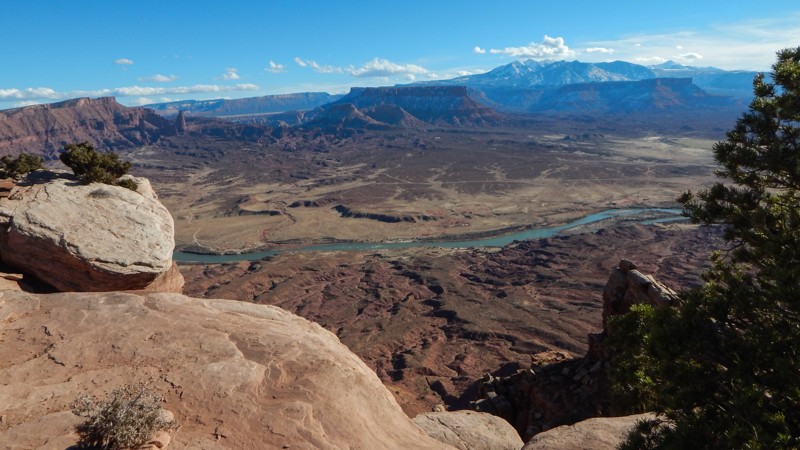
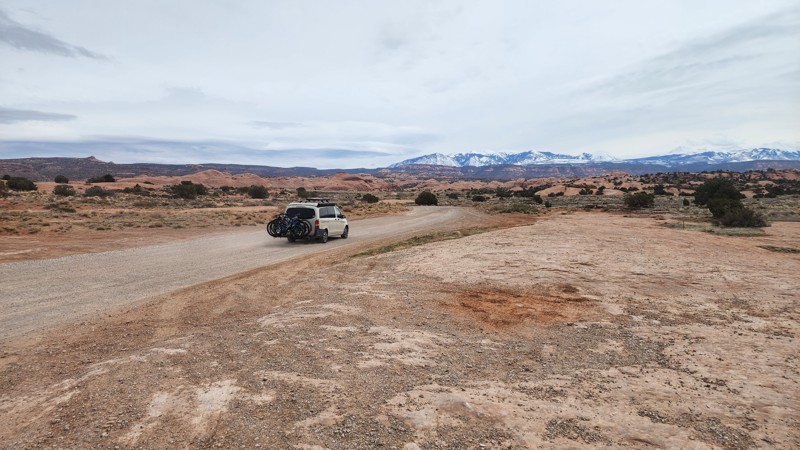
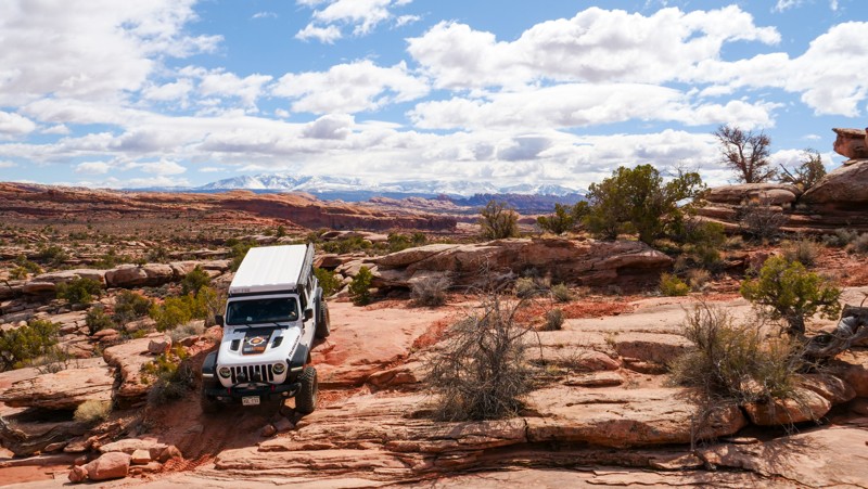
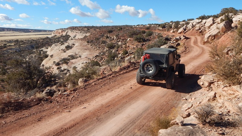
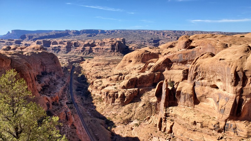
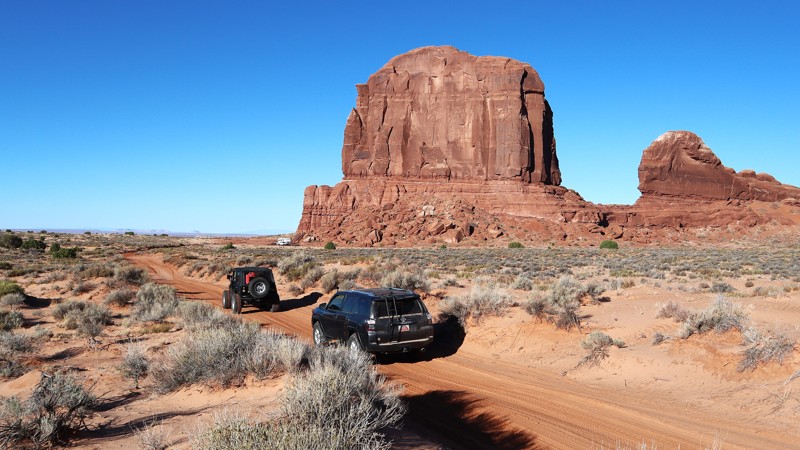
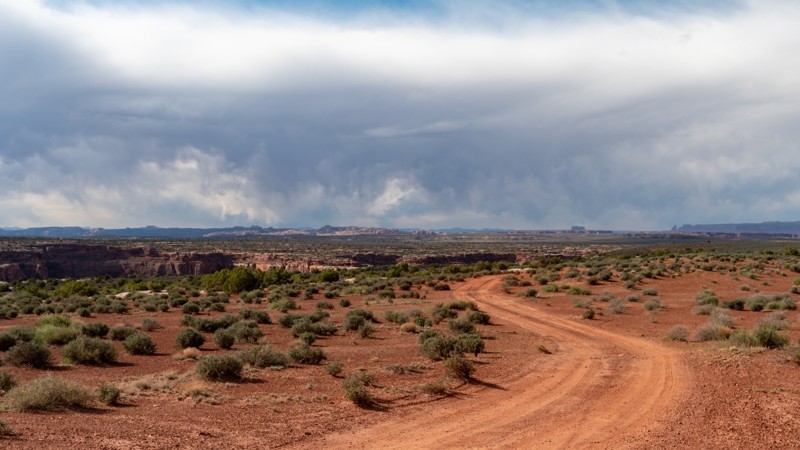
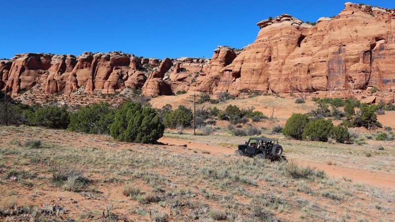
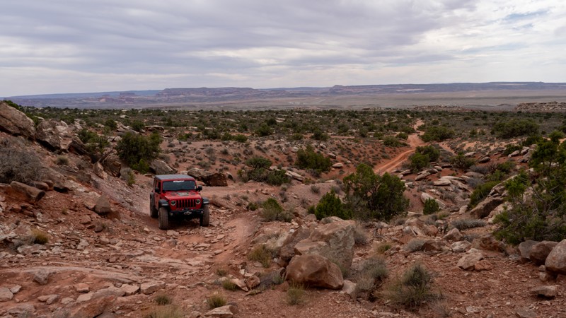
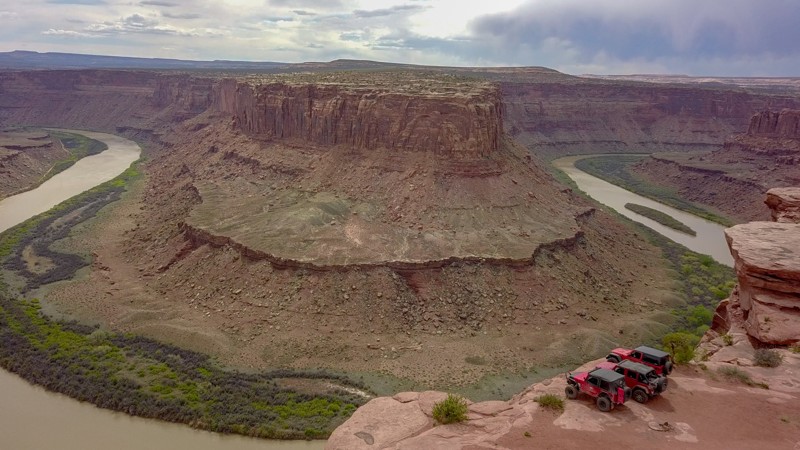
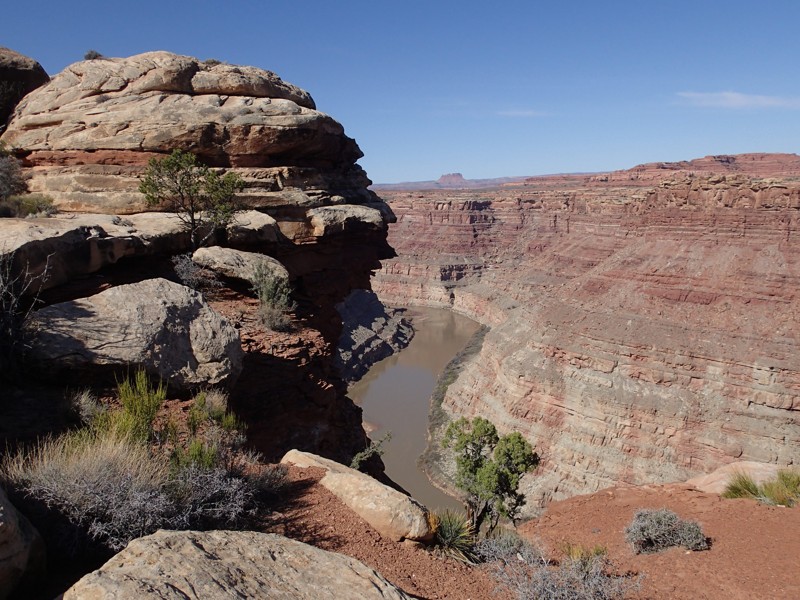
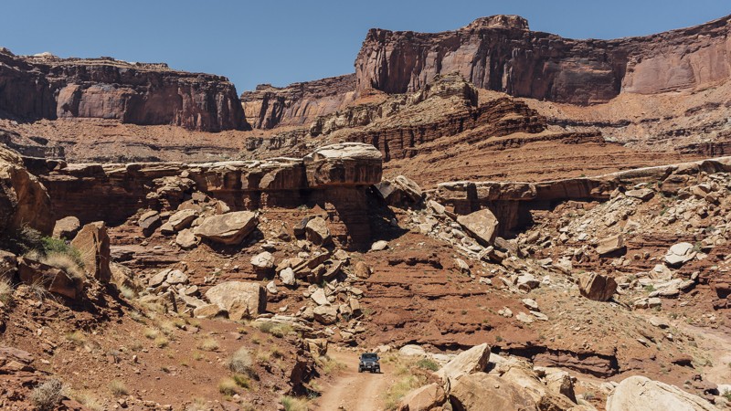
Moab, Utah, is renowned worldwide as a premier destination for offroad enthusiasts. Nestled in the heart of the American Southwest, Moab offers a diverse array of trails that cater to all skill levels. Whether it's an overland or rock crawling adventure you are looking for, this stunning red rock landscape offers 100s of open roads and trails that range from easy to extreme. The area spans over 103,000 square miles and includes lands managed by the Bureau of Land Management, The Manti-La Sal National Forest, Utah State Trust Land, Arches and Canyonlands National Parks, and the Sand Flats Recreation Area.

While the most well-known trails, such as Hell’s Revenge, Fins and Things, Poison Spyder, The White Rim Trail, and the Rimrocker, are typically the main attractions, the area is home to plenty of hidden gems worth exploring.

While visiting and riding the trails, enjoy Arches and Canyonlands National Parks to round out your trip. Plan accordingly because Arches now has a timed entry system from April through November, where you need a permit to enter. It is also important to know that summers can have extreme heat with monsoons, and even though it is a high-plain desert, it can snow in the winter months.

Dispersed camping is limited and only available in designated areas. Each Trails Offroad trail guide lists the various camping opportunities, including BLM’s designated campsites. BLM also manages several campgrounds with vault toilets and picnic tables. Within the town of Moab, you can find various lodging and dining opportunities and repair and maintenance services for your vehicle.


Top Reasons to Explore Here

Basemaps
Go All-Access to Unlock


TRAILS OFFROAD™ TRAIL TYPES
Trail Guide
Full detailed write up with Advanced Rating System, Waypoints, Video, and more.
Scout Route
Lite version with highlights, camping, and hardest part documented. Vetted in person.
TRAIL DIFFICULTY RATINGS
easy (1-2)
Suitable for high clearance 2WD
moderate (3-4)
Best suited for a high clearance 4x4
difficult (5-6)
Best suited for a lightly modified 4x4
severe (7-8)
Best suited for a highly modified 4x4
extreme (9-10)
Best suited for specialized buggy type vehicles
LAYERS

Most Recent Trail Reviews

Most Popular

Search for Trails
Utah: Entrada Bluffs Road aka Shura Road Hero Photo
All-Access Icon
3.2/5 (12 reviews)
Updated: 04/28/2026

Entrada Bluffs Road aka Shura Road

Dewey, Utah

Entrada Bluffs Road, also known as Shura Road, begins at the historic Dewey Bridge site, once a well-known crossing of the Colorado River before it was lost to fire. From there, the route opens into one of the most accessible desert corridors in the region, offering easy access to abundant camping, connections to dispersed sites, and nearby backroads. It follows portions of the iconic Kokopelli's Trail and leads toward the well-known Top of the World Trail. Along the way, the landscape unfolds into a striking expanse of Entrada Sandstone formed over 140 million years ago, revealing a rugged beauty that cannot be experienced from the pavement.

Utah: Lavender Canyon Hero Photo
All-Access Icon
5/5 (7 reviews)
Updated: 12/18/2023

Lavender Canyon

Monticello, Utah

Far back in Canyonlands, the twisting sandstone cliffs hide ancient wonders above this scenic 4x4 trail. Combined with Davis Canyon, Lavender Canyon is a destination adventure for those wanting to escape everything. The engrossing sense of remoteness takes you over as you travel back into the canyons. The towering Bridger Jack Mesa is a permanent eastern border as the walls slowly close on both sides. The cliffs within the National Park hide ancient Native American structures, still safe to this day, tucked high up on the sandstone cliffs. These structures are so well preserved they appear as if they were made recently and not hundreds of years ago. Reaching and gaining legal access beyond the National Park Boundary makes all the effort and planning worth it. Timing is everything, for the permit and weather.


Utah: Rusty Nail Hero Photo
All-Access Icon
5/5 (1 reviews)
Updated: 04/29/2024

Rusty Nail

Moab, Utah

Rusty Nail is a difficult rock crawling 4x4 trail that is a "shortcut" to the most popular and most difficult obstacles on the Golden Spike & Gold Bar Rim trails. This trail challenges the most seasoned veteran wheeler, both physically and mentally. Large, off-camber, undercut ledges, true to the Moab testament, make up the majority of the obstacles on Rusty Nail. Although there are only four named obstacles, the trail is riddled with numerous challenges and no bypasses. There are alternate routes on a couple of obstacles, but those routes are just as difficult, if not more difficult, than the main route.

Utah: Hook and Ladder OHV #1 (Cameo Cliffs) Hero Photo
All-Access Icon
4.2/5 (7 reviews)
Updated: 11/24/2022

Hook and Ladder OHV #1 (Cameo Cliffs)

Monticello, Utah
Also known as Cameo Cliffs, Hook and Ladder is an offroad odyssey that travels from the lower deserts to above "Hook and Ladder Gulch," following Cameo Ridge to higher elevations filled with juniper and cooler temperatures. Right away, the soft sand underneath your tires turns into that one distinct sound that is synonymous with Moab: "chirp, chirp," as you drive across swaths of slickrock with the La Sal Mountains to the northeast and the Abajo Mountains visible in your side view mirror. This specific route, Trail #1, is in the middle of an OHV area with more trails and adventures. Come for this trail, or come for them all.
Utah: Behind the Rocks Road Hero Photo
Scout Route Icon
3.6/5 (8 reviews)
Updated: 04/08/2025

Behind the Rocks Road

Spanish Valley, Utah

Not to be confused with the Behind The Rocks Trail, Behind The Rocks Road is a rough and rocky 9-mile-long connector road between Picture Frame Arch and Pritchett Canyon. It connects a spiderweb network of trails and is the main exit from the popular hardcore trails Pritchett Canyon and Behind The Rocks Trail, connecting those folks back to Highway 191. This road has both fast and slow crawling sections and is traveled by users in both directions. The road becomes more challenging the farther north you travel. The southernmost 3 miles is the easiest, with a mix of hard-packed dirt, sand, and slickrock slabs. The middle 3 miles traverse several ledges and a short section of rutty shelf road. The northernmost 3 miles, just past the Kane Creek Canyon Overlook, are the most difficult, with a continuous onslaught of rough-cut slickrock ledges, many of which are 18-32 inches tall. This road is best suited for modified vehicles with larger tires, small lifts, and skid plate protection.

There is no suitable camping along this stretch of Behind the Rock Road.

Utah: Dome Plateau Overlook Hero Photo
All-Access Icon
4.6/5 (9 reviews)
Updated: 03/23/2024

Dome Plateau Overlook

Moab, Utah

This leisurely drive ends with one of the best views in the western United States. The Dome Plaeau Overlook will take your breath away in many ways. You catch glimpses of the views as you travel along the trail. Only when you're about to drop down the hill at Waypoint 4 do you realize what's in store. The views of the Colorado River set against the distant plateaus and mountains are phenomenal. No matter what you're planning on doing while exploring the Dome Plateau, be sure to plan a stop at this one-of-a-kind overlook.

Utah: Sand Flats Road Hero Photo
Scout Route Icon
4.2/5 (21 reviews)
Updated: 07/28/2026

Sand Flats Road

Moab, Utah

Sand Flats Road travels through the famous Sand Flats Recreation Area, connecting Moab to the La Sal Mountain Loop Road. This easy road provides trailhead access to many of Moab's most popular and famed trails: Baby Lions Back, Hell's Revenge, and Fins and Things. Porcupine Rim, Mill Creek Rim West, and Mill Canyon Rim East also connect to/from Sand Flats Road. The road has a mixed surface, including pavement, gravel, and dirt, with many washboard sections. The road drives along several exposed shelf sections and is 2-plus vehicles wide the entire way. This road is suitable for any vehicle.
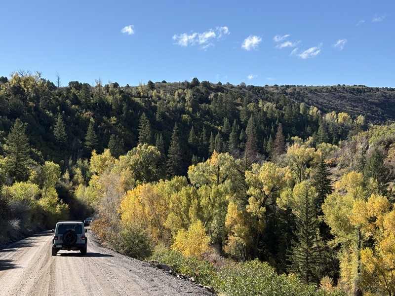
Entering Sand Flats Recreation Area does require a daily fee, and camping is an additional fee.

Nine campgrounds lettered A through J, with over 120 campsites, are open year-round on a first-come, first-served basis. Only group campsites can be reserved. Camping is limited to these designated sites. The campsites have nearby vault toilets. Expect the campgrounds to fill quickly from Thursday through Monday.

Utah: Little Canyon Hero Photo
All-Access Icon
4.6/5 (8 reviews)
Updated: 03/27/2024

Little Canyon

Moab, Utah

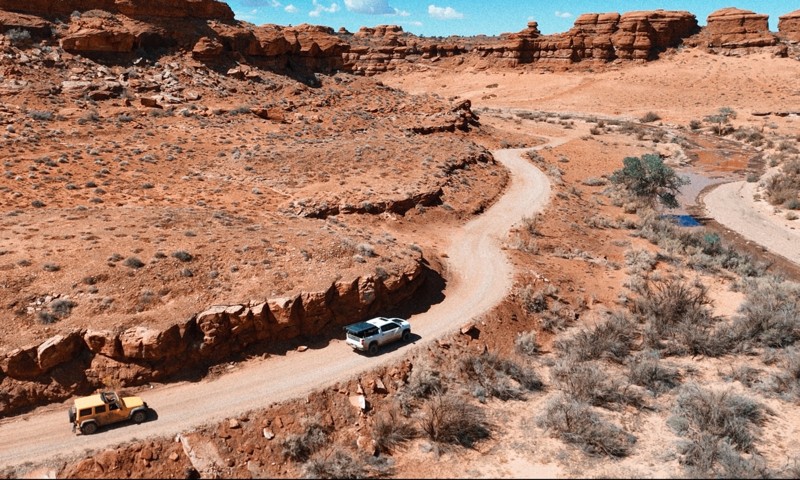
Within a network of more well-known trails lies Little Canyon. This unique trail is nestled between Gold Bar Rim and Bull Canyon, taking you across a traditional Moab landscape just northwest of town. You will likely have the trail all to yourself as you take in the breathtaking scenery. The La Sal Mountains tower in the background, rising over the red fins for which Moab is so well known. Alongside the expansive views are numerous shelves, ledges, and waterfalls, drawing your attention away for just a brief moment in time. This diverse combination of experiences will leave a lasting impression on those fortunate enough to find this hidden gem.

Utah: Owl Draw Hero Photo
All-Access Icon
4.6/5 (12 reviews)
Updated: 04/08/2024

Owl Draw

Moab, Utah

Whether you're beginning or ending your Dome Plateau adventure on this scenic route, you'll enjoy solitude and a bit of history as you traverse a rugged landscape. Owl Draw winds through canyons, over sprawling golden meadows, and along breathtaking sandstone cliffs with views of the La Sal Mountains. Owl Draw is the vital connector for multiple sections of the iconic Dome Platea Loop and is a worthy trail in its own right. The old log cabins tucked up in the rocks are just one of the highlights of this incredible drive.

Utah: Where Eagles Dare Hero Photo
Scout Route Icon
3.8/5 (7 reviews)
Updated: 06/08/2026

Where Eagles Dare

Moab, Utah
If you are looking for the steepest, longest climbs in all of Moab, Where Eagles Dares is the trail you need to conquer! This trail is a side spur off of Golden Spike and travels entirely along large slickrock fins with constant changes in elevations. This trail gets your attention from the very beginning with several steep uphill climbs and downhill descents on its way to an amazing overlook of Bootlegger Canyon with the Corona Arch and a tiny glimpse of the Colorado River making up the backdrop. Take an optional slow loop around the Where Eagles Dare namesake obstacle and finish off the trip winding your way up and over Phobia Hill before reconnecting with Golden Spike. There is no camping along this trail due to the very steep terrain.
Utah: Spring Canyon Point Hero Photo
All-Access Icon
4.6/5 (16 reviews)
Updated: 11/04/2025

Spring Canyon Point

Crescent Junction, Utah

With backdrops straight out of a western movie, Spring Canyon Point is a wonderful way to escape into Labyrinth Canyon for a night under a Dark Sky. With easy access from Dubinky Well Road, the trail begins along blowing red sands with distant views of Tombstone Butte. At the base of the red tower, you will find numerous campfire rings and a large fenced area for parking. Continuing west, the distant views of buttes and towers amaze as you climb above the colorful landscape. Once out onto the point, creating a thumb into the Labyrinth Canyon Wilderness, the views down into the canyon are breathtaking as you creep up to the edge. Use caution, closely watch children and pets along the cliff edge. The trail is ideal for overland groups or individuals seeking to escape the Moab crowds.

Utah: Deadman Point Road Hero Photo
All-Access Icon
4.6/5 (11 reviews)
Updated: 01/23/2024

Deadman Point Road

Moab, Utah

Located a bit off the beaten path lies this gem of a trail. About 45 minutes north of Moab, Utah, Deadman Point used to have quite the ending until the final few miles of trail was closed in 2023. This trail has your typical Moab type scenery with sagebrush and sand, but it's the views that make this all worth it. After a long day out exploring, the distant views help relax the soul. This area is also very popular for camping and you could easily make a weekend exploring all of the trails out in this region. If you are up for the final 3/4 mile-long hike, the overlook view is worth the effort.

Utah: Four Arches Canyon Hero Photo
All-Access Icon
3.7/5 (5 reviews)
Updated: 03/24/2026

Four Arches Canyon

Moab, Utah

"Keep going, it just gets better" aptly describes the experience in Four Arches Canyon. An excellent addition to Gemini Bridges, this scenic 2.5-mile trail takes about an hour and can be enjoyed by most stock-type 4x4 owners. Following almost invisible telephone lines, the trail winds through a vertical-walled canyon with narrow finger spires pointing to the sky. Include Four Arches Canyon on your next Moab day trip, because finding the four arches is a challenge left for each visitor.

Utah: Mineral Point Hero Photo
All-Access Icon
4.8/5 (8 reviews)
Updated: 05/27/2024

Mineral Point

Moab, Utah

After crossing the rugged and remote desert to reach Mineral Point, you're rewarded with breathtaking views of the Green River winding through Labyrinth Canyon. A textbook example of water's power, Labyrinth Canyon was carved over millions of years by one of the last wild rivers in the United States. Deep into the canyons visible to the south along the trail are ghostly silhouettes of the buttes and towers within Canyonlands. Long stretches across tall grassy meadows help break up the slow, bumpy sections. One final ledge must be conquered to reach one of nature's true wonders. Or you can simply park and walk the final quarter mile to this amazing overlook.

Utah: Dubinky Well Road Hero Photo
All-Access Icon
3.6/5 (13 reviews)
Updated: 10/22/2023

Dubinky Well Road

Moab, Utah

One would think that a trail with a name like Dubinky would be based on a family name. But that is not the case with Dubinky Well Road. The term originates from two brothers, Red and Dubinky Anderson. The story gets murkier because it is unknown if "Dubinky" was Dubinky's given first name or if it came from the rumored story of running from a ghost. Storytellers say he was so scared it caused him to run ten miles to what was to become Dubinky Ranch. Either way, Dubinky Well Road near Moab is steeped in ranching history, and the well itself was once grand central for those seeking water.  Today, it provides easy access to several more famous roads, beautiful views of the La Sal Mountains to the southeast, and the longest cliff line in the world, the Book Cliffs, to the north.

Utah: Dry Mesa Hero Photo
Scout Route Icon
5/5 (7 reviews)
Updated: 10/11/2026

Dry Mesa

Castle Valley, Utah

Dry Mesa is tucked far back in the Arches National Park, next to a popular hiking trailhead. You literally drive over the sidewalk into the colorful Cache Valley Canyon and quickly enter BLM land. Once out of the park, you wind through a rocky wash as the canyon walls become taller. After a few mild rocky climbs, the imposing Limousine Hill looms ahead. It looks like it goes on forever. This hill is steep and very challenging. The dirt is loose, the rock ledges are many, and did I mention it was steep? The minimum needed is 33s, lockers front and rear, and nerves of steel.

Once you reach the summit, take a few breaths, and decide which way to run the loop around Dry Mesa. The trail loops around to several overlooks, each with its own unique view of the Colorado River far below. The challenges on top are mild compared to what you had to go through to get up there. There's camping at a few of the overlooks, but the winds can be quite strong and relentless.

Utah: Jackson Hole Hero Photo
Scout Route Icon
2.2/5 (4 reviews)
Updated: 04/10/2026

Jackson Hole

Moab, Utah
Jackson Hole is primarily composed of dirt and rocks. This out-and-back trail navigates around a large mesa in the middle with tall bluffs on the outer edge of the loop. High-clearance 4x4 vehicles should have no issues navigating this trail. Camping can be found on Chicken Corners
Utah: Maze Overlook Hero Photo
All-Access Icon
4.7/5 (12 reviews)
Updated: 10/04/2023

Maze Overlook

Hanksville, Utah

The Maze Overlook trail in Canyonlands National Park is a thrilling adventure that takes visitors to breathtaking heights and rewards them with sweeping panoramic views. This rugged trail winds through the heart of the park's mesmerizing Maze District, showcasing the awe-inspiring natural beauty of red rock canyons and towering spires. As you navigate the challenging terrain, your adrenaline will surge with every twist and turn. Upon reaching the Maze Overlook, prepare to be captivated by the vastness of the landscape spread out before you, a true testament to the raw power of nature. The Maze Overlook trail is an unforgettable experience that will leave you in awe of the remarkable wonders found within Canyonlands National Park.

Utah: Klondike Bluffs Escape via Baby Steps Hero Photo
All-Access Icon
4.4/5 (34 reviews)
Updated: 04/30/2025

Klondike Bluffs Escape via Baby Steps

Moab, Utah

A short trail with big views! Descending from the top of Klondike Bluffs, you are greeted with expansive open views of Salt Valley below you and Arches National Park across from you. Near Moab, Utah, the Klondike Bluffs are something you don't commonly see. The odd discoloration makes you think you are in a completely different part of Utah. This remote and challenging trail puts you into a new area with miles of trails to explore, as well as putting you right at the border of Arches National Park.

Utah: Hellroaring Canyon North Rim Overlook Hero Photo
All-Access Icon
5/5 (16 reviews)
Updated: 05/27/2024

Hellroaring Canyon North Rim Overlook

Moab, Utah
Deceiving at first, this incredible little spur has some of the best views around Moab. There are many locations that give you a chance to look down upon the Green River, but this one takes the cake. You get to see a huge bend in the river and both tails for quite a ways. In addition, you are right at the edge of a sheer cliff providing you the magnitude of the landscape. No other viewpoints give you quite the perspective that this one does. This is an absolute must do if you are in the area!
Utah: Blue Hills Road Hero Photo
All-Access Icon
3.5/5 (13 reviews)
Updated: 03/04/2024

Blue Hills Road

Moab, Utah

Traveling across seemingly endless prairie lands, Blue Hills Road leisurely meanders along the edge of Moab's most iconic 4x4 areas. You can set up basecamp for up to 14 days at one of the many boondocking areas or choose a side trail and find a private campsite back in the hills. The route has beautiful views of the red rock cliffs and distant mountain peaks. This is the main access road to numerous popular 4x4 trails and an excellent way to see the local wildlife grazing on the prairies. Pronghorns are often seen in large herds, racing across the rolling hills, while the prairie dogs vigilantly watch for predators.

Utah: Bartlett Overlook Hero Photo
All-Access Icon
4.1/5 (8 reviews)
Updated: 01/15/2026

Bartlett Overlook

Crescent Junction, Utah

Bartlett Overlook, also known as Hidden Canyon Overlook, is an excellent way to get on the rocks around Moab, Utah, without the extreme challenges of the more well-known trails. The trail travels to a breathtaking overlook of Hidden Valley and much more. This mildly challenging route travels through a very diverse and transitioning landscape. The red sandstone mesas seem to rise out of nowhere, creating a swirl of dramatic colors. The trail does have a few challenges to test you and your vehicle's capabilities.

Utah: Colorado River Overlook Hero Photo
All-Access Icon
4.9/5 (10 reviews)
Updated: 05/01/2024

Colorado River Overlook

Monticello, Utah
Situated in the Canyonlands Needles District, this four-wheel drive road offers a quick trip to the cliffs overlooking the mighty Colorado River. The Overlook is the easiest of backcountry roads within the Needles District, which has over 50 miles of roads which all lead you through the natural wonders of the area. This road takes you through the high desert with wide open views and it ends with an amazing view of the Colorado River and its associated canyons. A great side trip for anyone visiting the park that wants to get off the pavement.
Utah: Lathrop Canyon Hero Photo
All-Access Icon
4.7/5 (15 reviews)
Updated: 06/08/2024

Lathrop Canyon

Moab, Utah
Lathrop Canyon is one of the few trails that branches off of the White Rim Trail. The drive through the canyon is quite fun, and it ends at the only point in Canyonlands where you can drive up to the Colorado River. The canyon, as well as the nearby hiking trail, are named after Howard Lathrop, who in 1939 was given a winter allotment by the US Grazing Service for his sheep. In 1953, the trail was used by uranium prospectors to obtain water from the Colorado River for their mining operations. Lathrop Canyon is a great addition to your day in Canyonlands, especially if it’s hot and you want to cool off in the river or under some shady trees.