Region

Moab

Utah

Offroad Trails in Moab

A Region within Utah
4.5/5 (2931)

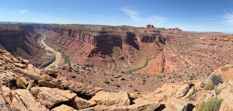
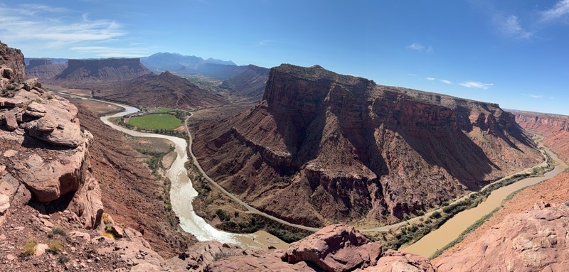
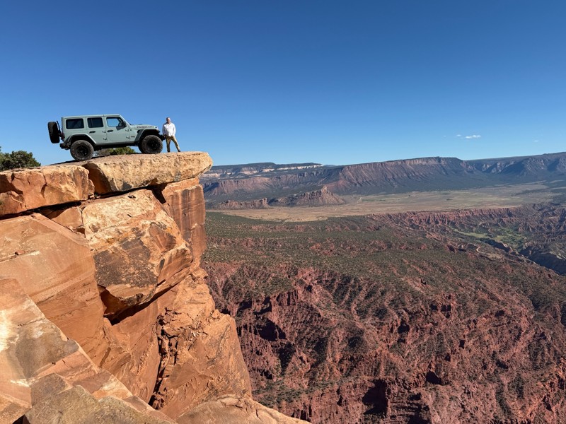
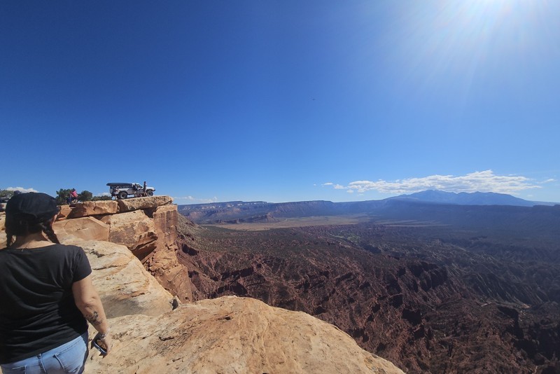
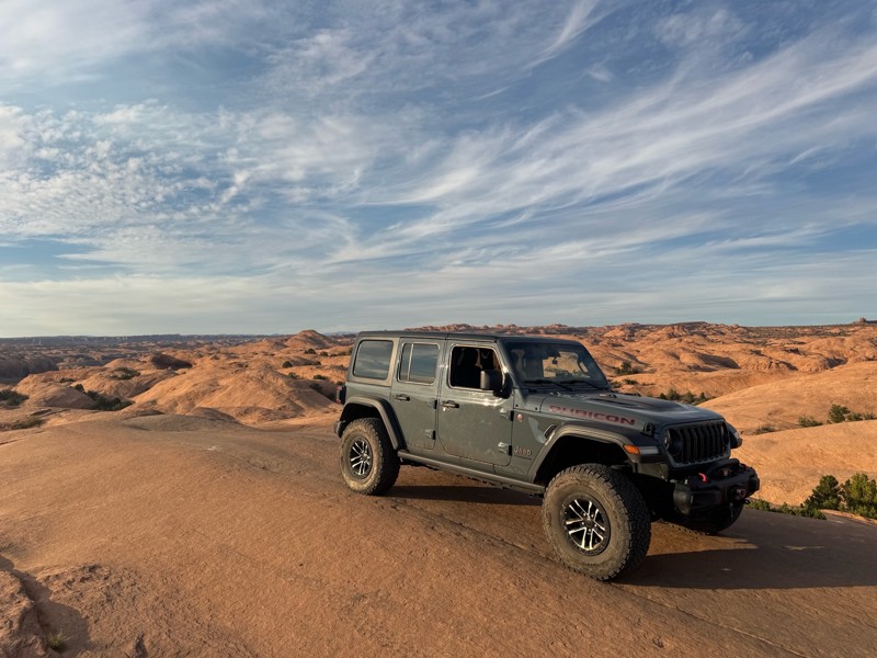
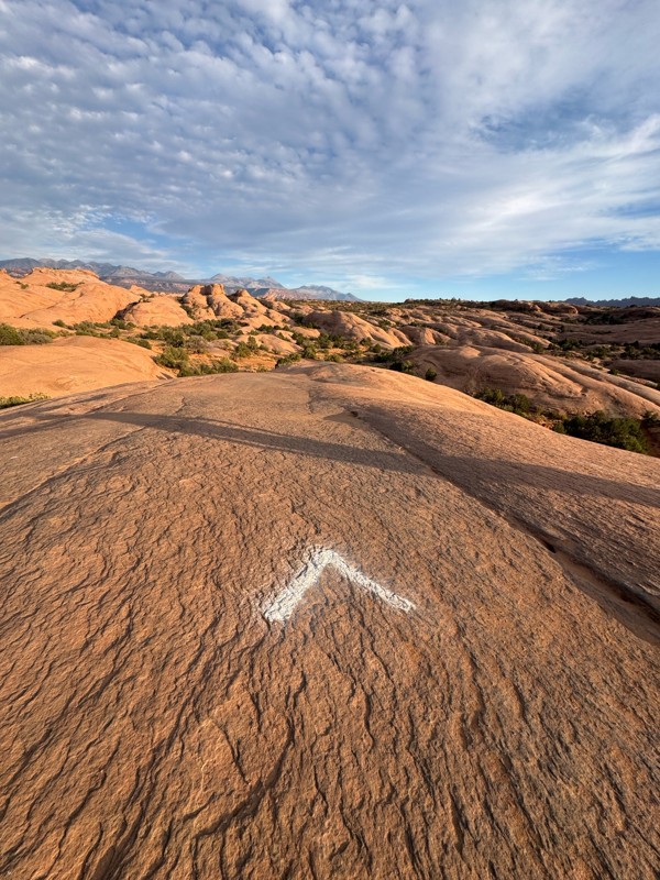
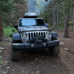
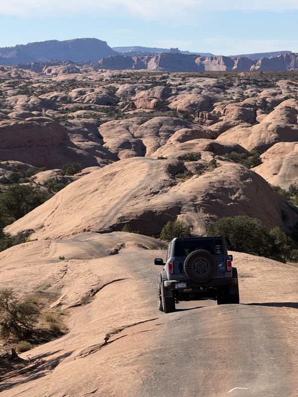
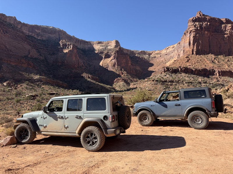
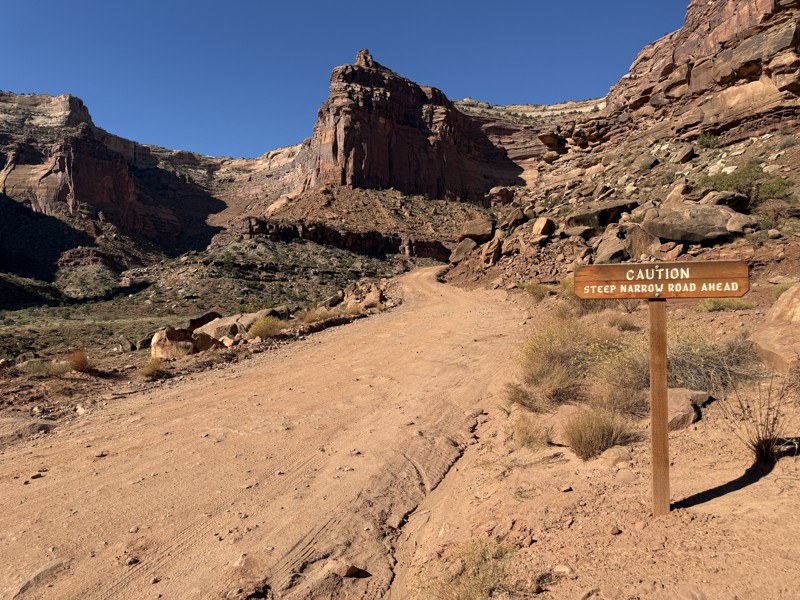
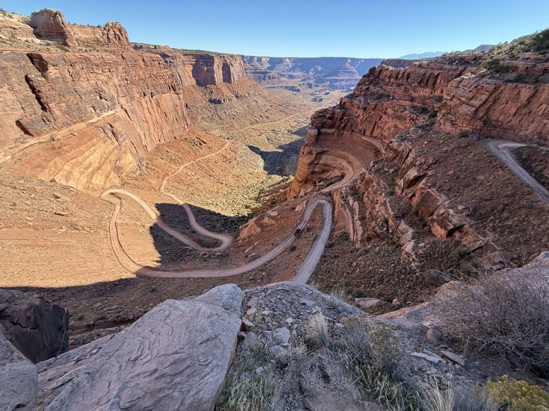
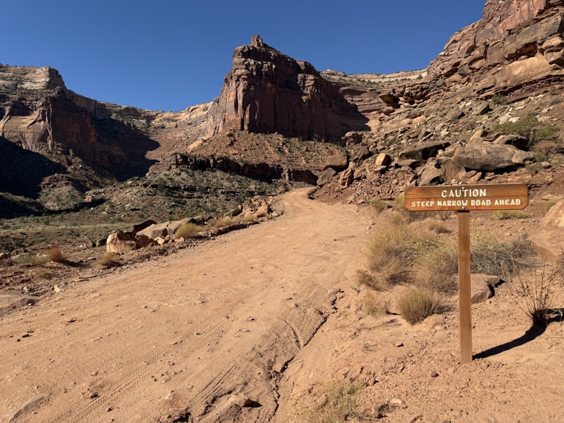
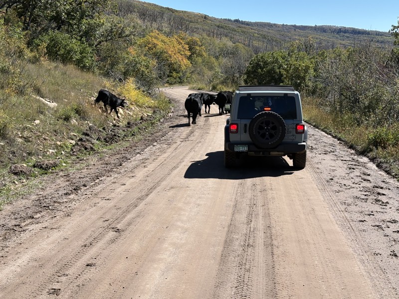
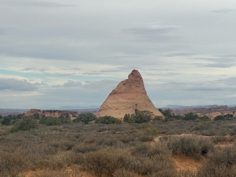
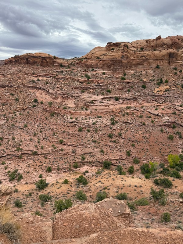
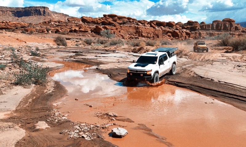
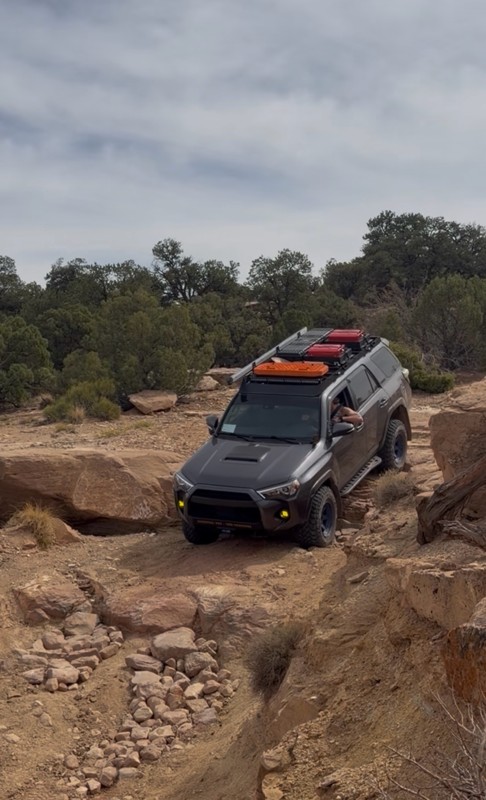
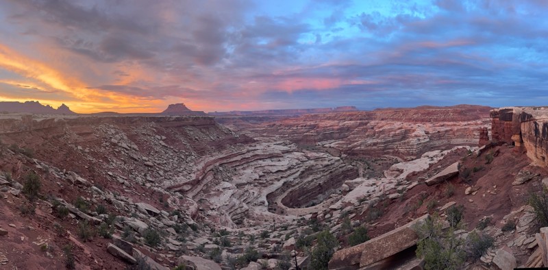
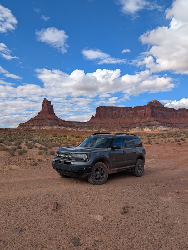
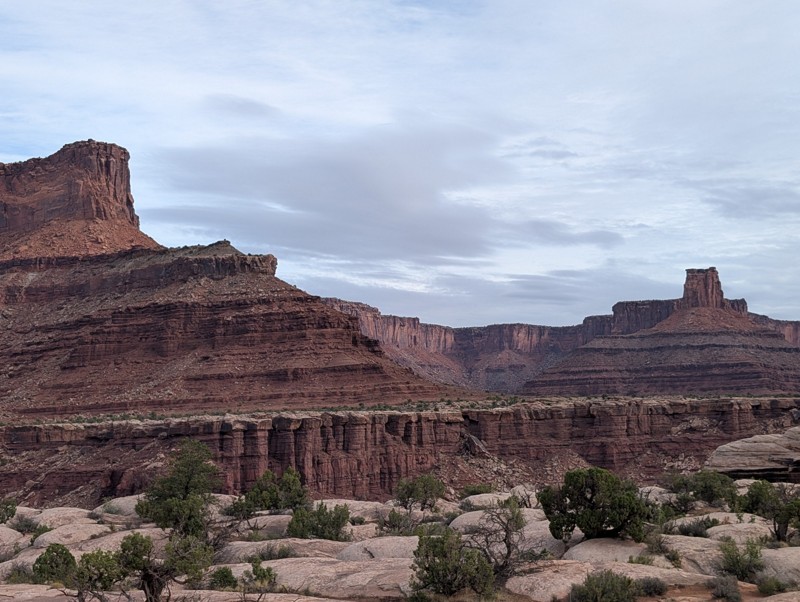
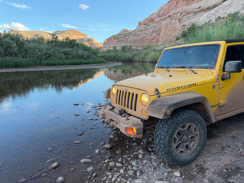
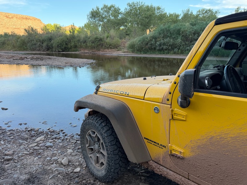
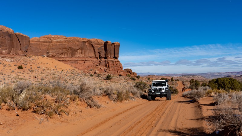
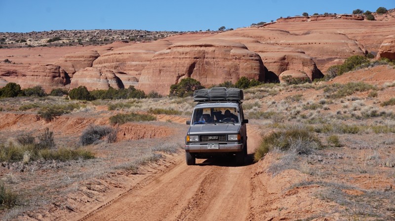
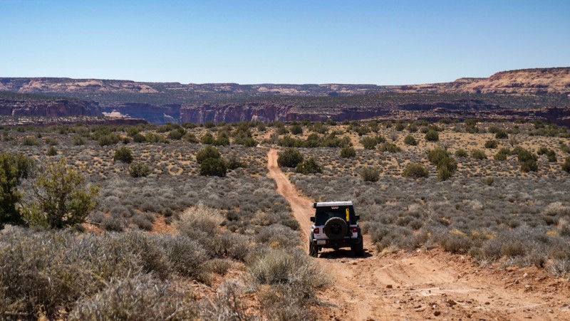
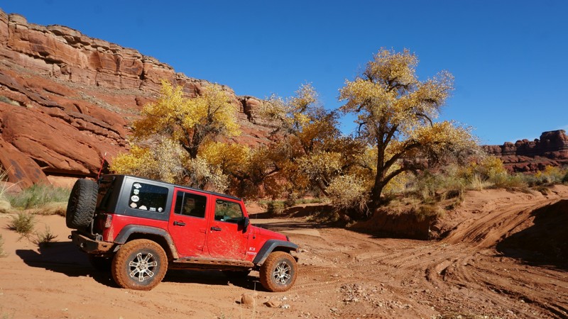
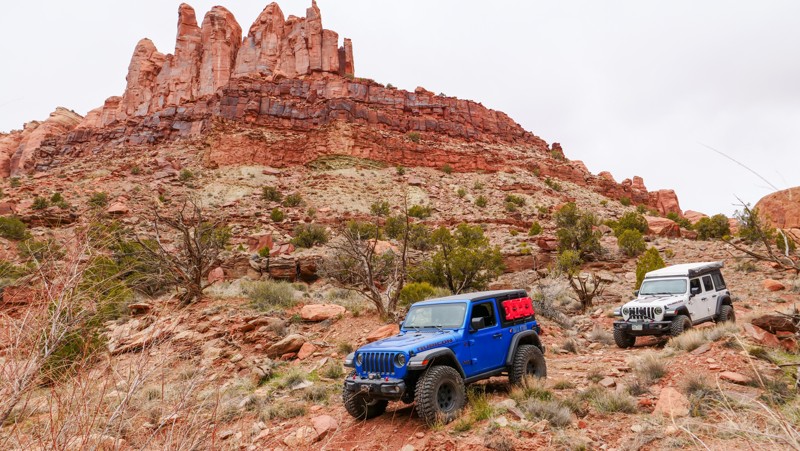
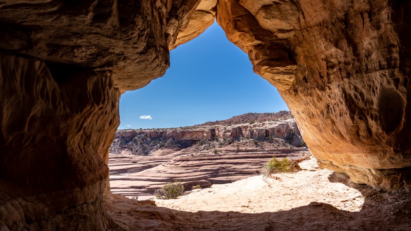
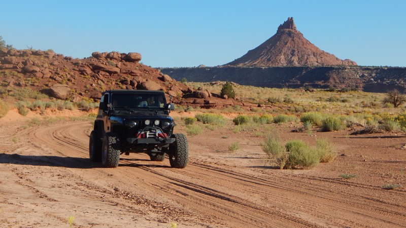
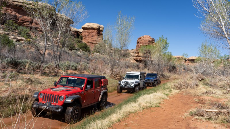
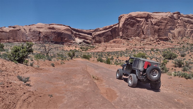
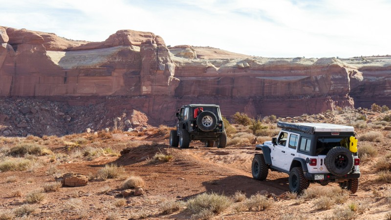
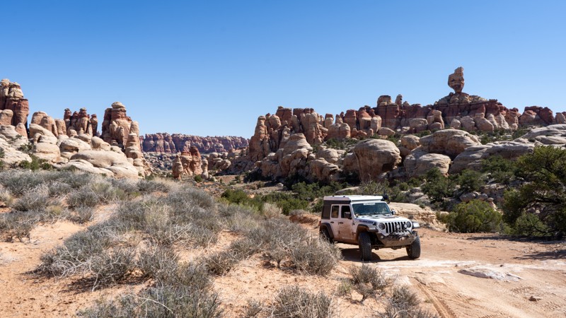
Moab, Utah, is renowned worldwide as a premier destination for offroad enthusiasts. Nestled in the heart of the American Southwest, Moab offers a diverse array of trails that cater to all skill levels. Whether it's an overland or rock crawling adventure you are looking for, this stunning red rock landscape offers 100s of open roads and trails that range from easy to extreme. The area spans over 103,000 square miles and includes lands managed by the Bureau of Land Management, The Manti-La Sal National Forest, Utah State Trust Land, Arches and Canyonlands National Parks, and the Sand Flats Recreation Area.

While the most well-known trails, such as Hell’s Revenge, Fins and Things, Poison Spyder, The White Rim Trail, and the Rimrocker, are typically the main attractions, the area is home to plenty of hidden gems worth exploring.

While visiting and riding the trails, enjoy Arches and Canyonlands National Parks to round out your trip. Plan accordingly because Arches now has a timed entry system from April through November, where you need a permit to enter. It is also important to know that summers can have extreme heat with monsoons, and even though it is a high-plain desert, it can snow in the winter months.

Dispersed camping is limited and only available in designated areas. Each Trails Offroad trail guide lists the various camping opportunities, including BLM’s designated campsites. BLM also manages several campgrounds with vault toilets and picnic tables. Within the town of Moab, you can find various lodging and dining opportunities and repair and maintenance services for your vehicle.


Top Reasons to Explore Here

Basemaps
Go All-Access to Unlock


TRAILS OFFROAD™ TRAIL TYPES
Trail Guide
Full detailed write up with Advanced Rating System, Waypoints, Video, and more.
Scout Route
Lite version with highlights, camping, and hardest part documented. Vetted in person.
TRAIL DIFFICULTY RATINGS
easy (1-2)
Suitable for high clearance 2WD
moderate (3-4)
Best suited for a high clearance 4x4
difficult (5-6)
Best suited for a lightly modified 4x4
severe (7-8)
Best suited for a highly modified 4x4
extreme (9-10)
Best suited for specialized buggy type vehicles
LAYERS

Most Recent Trail Reviews

Most Popular

Search for Trails
Utah: Bartlett Wash Road Hero Photo
All-Access Icon
3.6/5 (14 reviews)
Updated: 01/23/2024

Bartlett Wash Road

Moab, Utah

Bartlett Wash provides plenty of visual stimulation as you drive alongside sandstone cliffs formed over 100 million years ago and full cottonwoods offering shade in the summer. Many will want to drive it for the experience, while others will drive it to reach Hidden Canyon, Tusher Tunnel, or The Pickle. Whatever your motivation, Bartlett Wash is a road everyone takes at least once in Moab.

Utah: Hidden Canyon Hero Photo
All-Access Icon
4.7/5 (15 reviews)
Updated: 12/12/2023

Hidden Canyon

Moab, Utah

The Hidden Canyon offroad trail is scenic and fast-paced, nestled between The Blue Hills and Barlett Flats. Just north of Moab, the route takes you deep into a colorful canyon with Windgate and Entrada Sandstone walls. Due to the ease of this trail and others in the area, this is an excellent location for new offroaders to test their skills without sacrificing the "fun factor."

Utah: Kane Creek Canyon Rim Hero Photo
Scout Route Icon
4.2/5 (6 reviews)
Updated: 04/10/2026

Kane Creek Canyon Rim

Spanish Valley, Utah
Kane Creek Canyon Rim is a hidden gem off of the main Behind the Rocks Road that features fun and scenic wheeling and offers remote vibes and great camping to boot. Any stock 4WD vehicle will have no issues traversing the landscape but make sure you have adequate tires that are aired down properly as you will be navigating through large patches of sand. If you happen to find yourself south of Moab and looking for a nice quiet campsite for the evening or simply getting away from the crowds, this trail might just be for you.
Colorado: Triangle Road Hero Photo
Scout Route Icon
4/5 (7 reviews)
Updated: 10/04/2026

Triangle Road

Westwater, Colorado

Triangle Road is an interesting and scenic part of the overland route from Grand Junction to Moab. The easy 24-mile track has relatively simple dirt roads with small rock shelf sections. The trail's most exciting part is the Delores River crossing. Normally two to three feet deep, the Delores can rise to five feet or more during the Spring runoff. Just be sure to scout the crossing. Swinging in an arc seemed to be an easier crossing than straight through. When scouting the crosses, look for the sand bars, as the water will be shallowest there. While the rest of the trail can be done easily by a 2WD vehicle, the river crossing is a significant challenge and requires a high clearance vehicle. Once past the river, the trail ends at an intersection with Entrada Bluffs Road, which can be taken west to Highway 128 and Dewey Bridge.
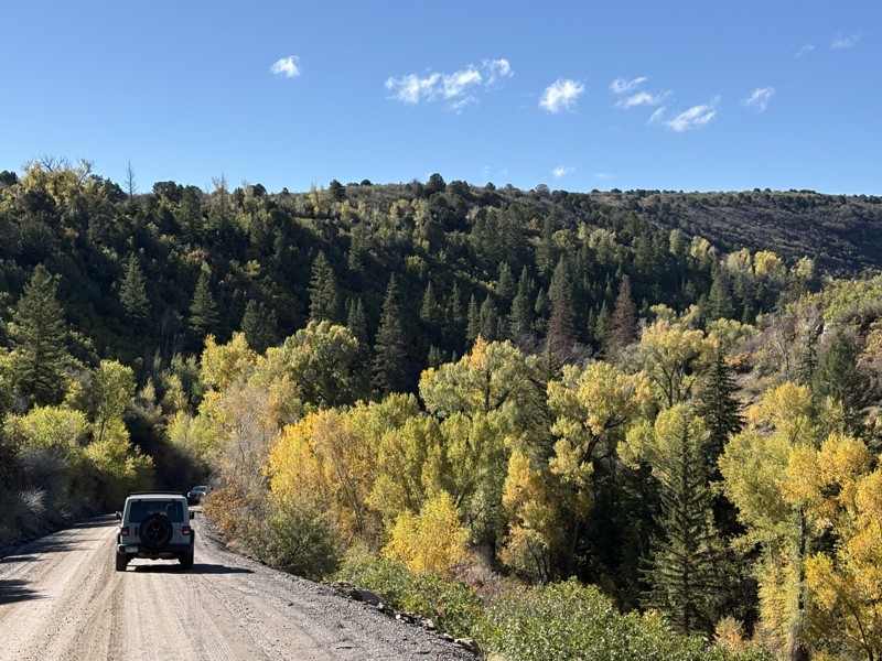
The trail offers plenty of camping for overland vehicles and tent campers if you choose to go light. There are several designated campsites between Entrada Bluffs and the river crossing.

Utah: Hidden Canyon Overlook Hero Photo
All-Access Icon
4.6/5 (8 reviews)
Updated: 04/22/2024

Hidden Canyon Overlook

Moab, Utah

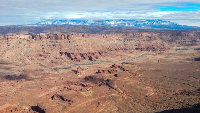
Hidden in the Labyrinth Canyon Wilderness lie numerous canyons to explore from both below and above. Hidden Canyon Overlook is part of the 3D Safari Route and gives a feeling of being deep in the outback. The trail traverses dirt, sand, and broad expanses of exposed bedrock, locally known as slickrock. The trail ends approximately 500 feet above Hidden Canyon, whose red and white sandstone contrasts with the blue sky and green vegetation. With the snow-capped La Sal Mountains in the distance, this place is a visual spectacle to cherish.

Utah: Anticline Overlook Hero Photo
Scout Route Icon
4.8/5 (4 reviews)
Updated: 02/13/2026

Anticline Overlook

Spanish Valley, Utah

Breathtaking cliff-edge views await you at the end of this easy 18-mile out-and-back gravel road. With multiple overlooks along the route, numerous side trails to choose from, and abundant camping, Anticline Overlook is your gateway to a remote and scenic Utah adventure. Named for the curved, uplifted Kane Creek Anticline, this dramatic landscape has views that rival the Grand Canyon. The overlook site has picnic tables, small shade shelters, interpretive signs, and a pit toilet. There is no water or camping at the Anticline Overlook, but dispersed camping is available on multiple side trails or at the Hatch Point Campground. With durable tires and dry conditions, the route can be completed in a passenger car.

Utah: Cotter Mine Road Hero Photo
Scout Route Icon
3.3/5 (10 reviews)
Updated: 01/09/2026

Cotter Mine Road

Moab, Utah
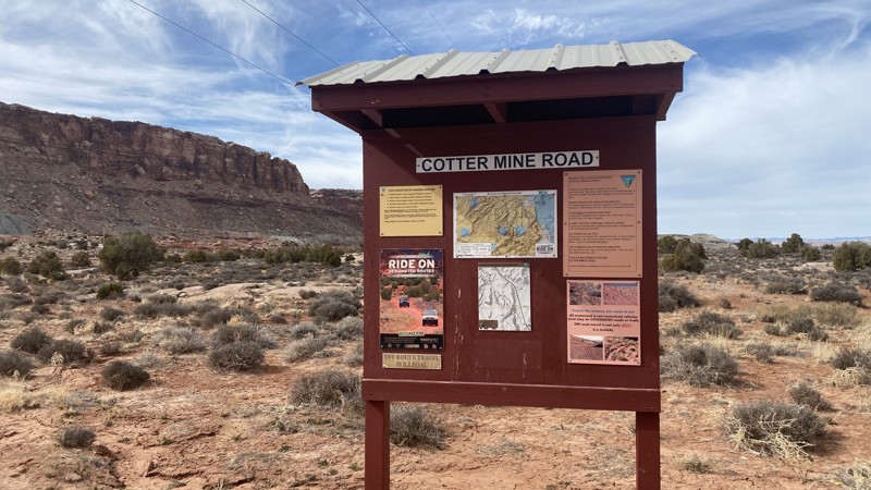
Railroad tracks and powerline give way to breathtaking views of the north side of Sevenmile Rim. There are several designated dispersed campsites along this route. This trail leads to other trails in the area and gives you a chance to check out dinosaur tracks even!
Utah: Lockhart Canyon Hero Photo
All-Access Icon
4/5 (7 reviews)
Updated: 06/05/2022

Lockhart Canyon

Monticello, Utah
Lockhart Canyon is near the Canyonlands National Park Needles District, directly off the famous and iconic Lockhart Basin. It is an entirely different driving experience altogether than the more popular trail. Taking you to the edge of the Colorado River, it travels deep into a canyon, following a wash almost the entire time. Remote and scenic, this off-road trail gives you plenty of fun wash driving and should be done if you are driving the entire Lockhart Basin Trail.
Utah: Dry Fork Bull Canyon Hero Photo
All-Access Icon
4/5 (6 reviews)
Updated: 04/04/2023

Dry Fork Bull Canyon

Moab, Utah

Seclusion, desert valley floors, high canyon walls, vegetation, and a meandering wash make Dry Fork Bull Canyon worth exploring. Situated near Moab, Utah, and a quick drive from the famous Gemini Bridges Road, this trail gives you that remote feeling that many off-road explorers seek. Once deep into the canyon, there are endless nooks and crannies along the edge of its walls to explore in detail by foot.

Note: This is not the more well-known trail, "Bull Canyon."

Utah: Panorama Point and Cleopatra's Chair Hero Photo
All-Access Icon
4.9/5 (12 reviews)
Updated: 03/27/2024

Panorama Point and Cleopatra's Chair

Hanksville, Utah

The Panorama Point Overlook 4WD trail in Canyonlands National Park offers an exhilarating journey through a stunning desert landscape. The rugged trail leads to sweeping vistas of the park's iconic red rock formations and deep canyons. The trail gradually ascends to the Panorama Point Overlook with an awe-inspiring panoramic view that stretches for miles, including the Las Sal and Abajo mountain ranges as well as a bird's eye view of the red rock canyons that give the Maze its moniker. From this vantage point, the layers of colorful cliffs and the meandering Colorado River create a breathtaking tapestry of nature's artistry. It's a must-visit destination for nature enthusiasts and adventurers seeking a remarkable experience in Canyonlands National Park.

Utah: Staircase Hero Photo
Scout Route Icon
4.9/5 (10 reviews)
Updated: 07/20/2026

Staircase

Moab, Utah

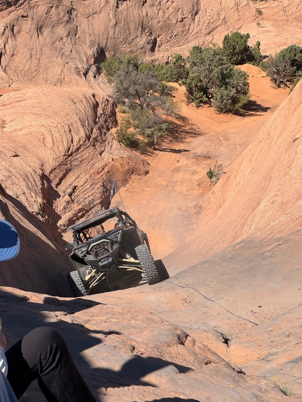
The Staircase is an older optional route previously closed for 10-15 years. Added back onto the Hell's Revenge trail map in 2022, this difficult slickrock chute is an excellent connector from Tip-Over Challenge to the large slickrock domes near the start of Hell's Revenge. The trail is one-way from west to east and descends a steep, narrow hill before leveling out and approaching the namesake obstacle. The main obstacle is a steep, slickrock chute with several off-camber ledges and deep holes. Tire placement is critical and short-wheelbase vehicles will find this obstacle more challenging.
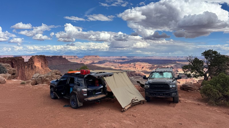
This trail is best suited for experienced drivers with well-equipped off-road vehicles. Good suspension travel and traction aid devices such as lockers are highly recommended.

Utah: Hell's Gate Hero Photo
Scout Route Icon
5/5 (9 reviews)
Updated: 09/10/2026

Hell's Gate

Moab, Utah

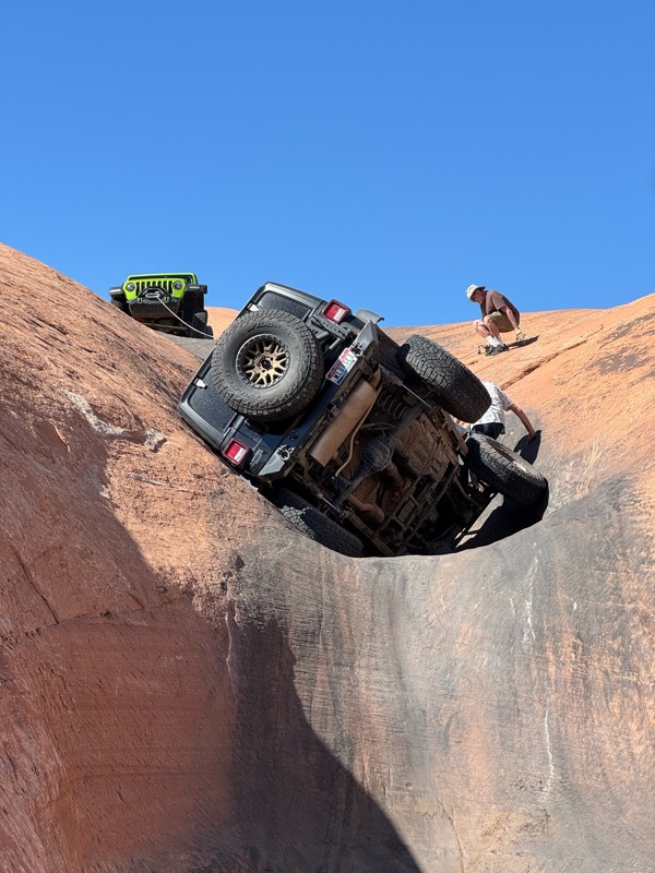
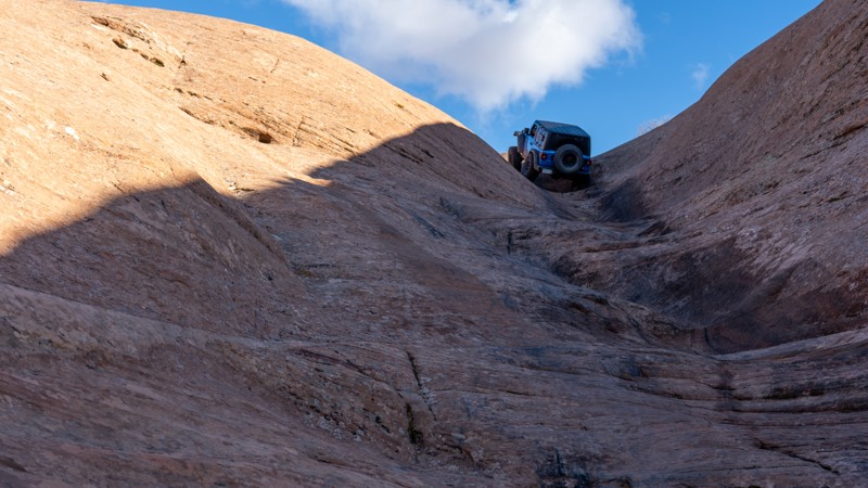
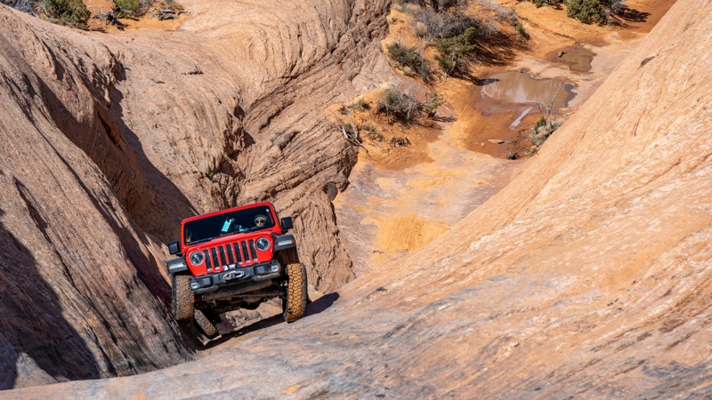
Hell's Gate is a famous and challenging optional route along Hell's Revenge Trail. Hell's Gate is best known for its steep, narrow, V-shaped climb with vertical walls, requiring drivers to carefully navigate their vehicles through a narrow slickrock channel. This obstacle is the poster child of many "Moab Failure" YouTube videos and always gathers a crowd.

The well-marked horseshoe-shaped trail starts near the overlook on the northern end of Hell's Revenge. Drivers must first negotiate a steep, 100-yard rutty descent while straddling a v-notch crack in the slickrock. This section is known as "Descending Into Hell." After reaching a sandy flat, the trail turns east for the "Climb Out of Hell," another steep, slickrock v-notch that cycles your suspension and lifts the front wheels of short-wheelbase vehicles. Longer wheelbase vehicles have an easier time ascending the steep climb.

Hell's Gate is not for the faint of heart and is only recommended for experienced off-road enthusiasts with well-equipped off-road vehicles. Novice drivers should avoid this obstacle-laden track. Traction aid devices such as lockers are highly recommended.

Utah: Tusher Tunnel Hero Photo
All-Access Icon
4.7/5 (19 reviews)
Updated: 10/22/2023

Tusher Tunnel

Moab, Utah

Tusher Tunnel is one of those offroad trails around Moab, Utah, that you need to drive at least once. It will provide an interesting side excursion to your already packed list of must-do trails. It leads to a unique geological feature, a naturally formed tunnel 83 feet long created by water seeping through a crack that dissolved away the rock when it reached a more complex layer of stone. As you walk through the tunnel, it feels like a transformative event as you get to the other side, and your eyes lay sight on an entirely new landscape.

Utah: Davis Canyon Hero Photo
All-Access Icon
4.5/5 (4 reviews)
Updated: 11/10/2025

Davis Canyon

Monticello, Utah

Utah's Canyonlands hide countless Native American artworks and ancient structures throughout its endless labyrinth of canyons. Deep within Davis Canyon, you can escape the crowds and have a few of the best-preserved historic sites all to yourself. These are the unmarked sites you won't find on any travel brochures. The granary on the cliff at Waypoint 9 is a nice stop with an exciting climb to view the precariously stacked stone structures. You can hike further into Davis Canyon to view the extremely well-preserved Five-Faces pictograph at the trail's end. Believed to have been left behind by the Anasazi hundreds of years ago, the stone structures and artwork found all over the area are exceptionally well preserved. Combining Davis and Lavender Canyons is a beautiful all-day or weekend adventure within a mesmerizing landscape.


Utah: Salt Creek Canyon Hero Photo
All-Access Icon
4.7/5 (9 reviews)
Updated: 05/13/2025

Salt Creek Canyon

Monticello, Utah

As one of the few trails in the Canyonlands Needles District, Salt Creek Canyon provides you with incredible scenery, a bit of excitement, and access to an excellent backcountry campground. This 4wd trail is not just a walk in the park. Despite its arid desert location, this trail has plenty of spring-fed water, providing life to lush vegetation. The surrounding rocks are sure a sight to see with the black streaks staining the iconic southern Utah red. This is an absolute must-do if you are in the area and can snag up one of the ten available vehicle permits issued daily. Also, please remember that since you are within the National Park, pets are not allowed.

Utah: Big Mesa Trail Hero Photo
All-Access Icon
4.4/5 (7 reviews)
Updated: 04/14/2025

Big Mesa Trail

Moab, Utah

Big Mesa is a logical yet rewarding addition to both Wipe-Out Hill and Bartlett Flat trails. These three trails challenge our vehicles while rewarding our souls with breathtaking views of 7-mile Point. Big Mesa has one 4x4 challenge that continues the feel of the other trails that traverse below the cliffs. Once you climb out of the wash, you will see mountain bikers cruising across bridges, traversing below the overhangs of the hidden natural arches, while you relax along this more leisurely section of trail.

Utah: Rainbow Rocks (Rainbow Terrace) Hero Photo
All-Access Icon
4.5/5 (11 reviews)
Updated: 03/29/2024

Rainbow Rocks (Rainbow Terrace)

Moab, Utah

Hidden behind the iconic Tombstone Butte, Rainbow Rocks is a windshield full of towering red cliffs. Also known as Rainbow Terrace, its name comes from the multi-layered Entrada Sandstone cliff faces. The vertical red wall creates a colorful boundary along most of the trail. The rocks are particularly stunning in the early morning or late afternoon sun. You'll begin by rolling up and down sandy hills, taking glimpses of Lost World Butte through lush desert vegetation. You'll twist through the maze of house-sized boulders that make any vehicle look small. While the views are amazing, the trail has enough challenges to entertain even the most hardened wheeler.

Combing Rainbow Rocks with Dee Pass, Salt Wash Road, and Crystal Geyser trails creates the Easter Jeep Safari "Crystal Geyser" route.


Utah: Crystal Geyser Road (Little Valley Road) Hero Photo
All-Access Icon
4/5 (11 reviews)
Updated: 11/27/2023

Crystal Geyser Road (Little Valley Road)

Green River, Utah

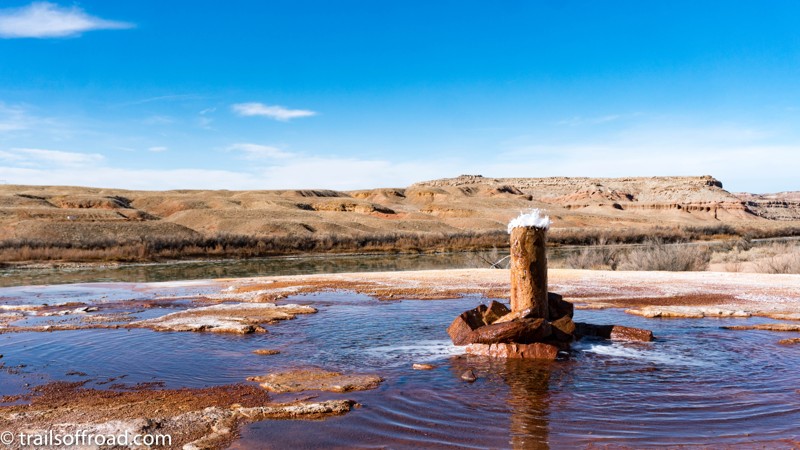
Crystal Geyser is a popular destination for off-roaders in Moab and Green River, Utah. Located only a few miles Southeast of Green River, Utah, Crystal Geyser is an example of a cold-water, carbon dioxide driven geyser. Geothermal activity is not involved in the geyser’s eruption. The tangerine, copper, and white colors deposited around the geyser’s base add a vibrant hue to an otherwise gray countryside. Crystal Geyser Road, also known as Little Valley Road, is the easiest and most direct way to the geyser itself. Several 4x4 trails meander through the rugged country between Moab and Green River and terminate at this very spot. One route, which is used during Moab’s Easter Jeep Safari, is called the Crystal Geyser Jeep Route. If you chose another route to the geyser, Crystal Geyser Road is the easiest way to depart the area.

Utah: Looking Glass Road Hero Photo
Scout Route Icon
3.3/5 (3 reviews)
Updated: 02/13/2026

Looking Glass Road

La Sal, Utah
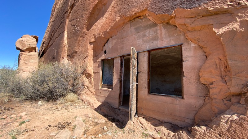
Looking Glass Road starts on Highway 191, south of Moab, Utah, and accesses Hatch Ranch Canyon. There are a couple of camping spots along the way and some interesting unique sights on this road, including some caves that were converted to dwellings and a community of eerily private houses. The road ends at Needles Overlook Road, which, if followed north, leads to the Anticline Overlook, which offers spectacular scenery overlooking several canyons and the Colorado River.
Utah: Bobbys Hole Hero Photo
All-Access Icon
5/5 (3 reviews)
Updated: 05/13/2025

Bobbys Hole

Monticello, Utah

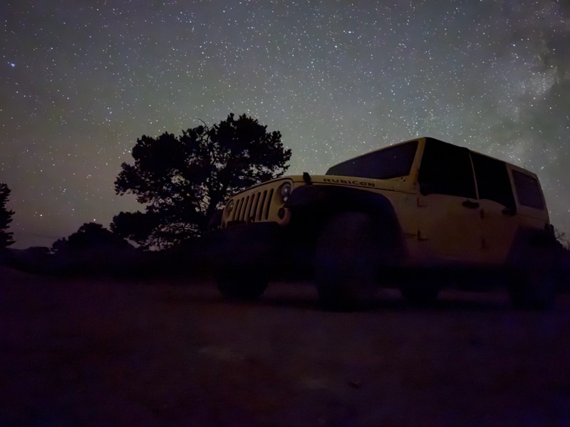
Tucked far into the southeastern Utah Desert is an overlander's paradise. If driving long distances over challenging terrain, far from any sort of civilization, is up your alley, then Bobby's Hole will surely be on your list. Lying on the edge of Canyonlands National Park in the Needles District, this unique desert trail provides it all. Numerous rocky obstacles will distract your attention from the incredible white and red rock spires surrounding you. Camping is at its best, whether you opt for a permitted site in the park or a dispersed site outside the boundary. Utah is known for its Dark Sky Parks; here, you are deep in the heart of darkness. Just don't forget the spare gas! Getting here consumes more fuel than tackling the trail itself, and once completed, you are still hours from the nearest station. Come prepared, but leave with bragging rights and irreplaceable memories after conquering Bobby's Hole.
Utah: Crystal Geyser Jeep Trail Hero Photo
All-Access Icon
4.1/5 (9 reviews)
Updated: 11/03/2023

Crystal Geyser Jeep Trail

Green River, Utah

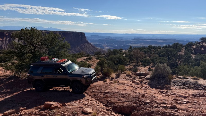
Crystal Geyser Jeep Trail is a trip through rural Utah's rugged desert country. This trail defines the term hitting the dusty trail. Layered multi-colored hills and boulder-lined cliffs surround this road. Considered the easy part of the famous Easter Jeep Safari Crystal Geyser route, this trail has unique desert views and multi-layered pinnacles of dirt that look like children's sand art. The area is rugged, isolated, and unpopulated, helping protect and repopulate the region's rare Desert Big Horn Sheep and Pronghorns.

Utah: Baby Lions Back Hero Photo
Scout Route Icon
4.9/5 (10 reviews)
Updated: 10/04/2026

Baby Lions Back

Moab, Utah

Baby Lions Back is a quick must-do side trip when driving Hell's Revenge or Fins and Things. The short drive takes 15 minutes or less and provides a thrill that you will remember for a long time. It is a one-way trail. Going up is not the issue, but coming down is very steep and ends in a pool of water that forms after rains or snow melt. The pool can be well above your vehicle's fording capacity. Exiting, you drive through one of the many designated campgrounds in the Sand Flats Recreation Area.

Utah: Widow Maker Hero Photo
Scout Route Icon
5/5 (1 reviews)
Updated: 01/12/2026

Widow Maker

Moab, Utah

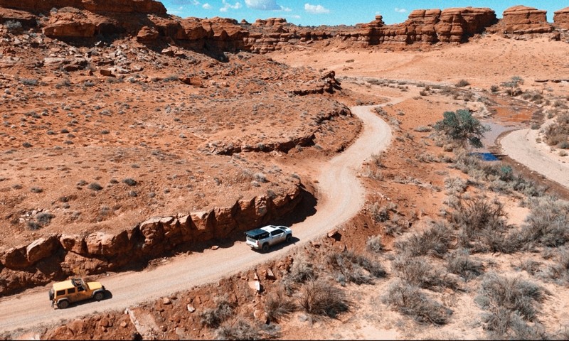
Widow Maker is a 1.3-mile-long optional spur route on the north end of the Metal Masher trail in Moab, Utah. The main feature of this spur is a steep and slick 10-foot vertical waterfall climb with no bypass. This difficult and technical obstacle requires a high degree of skill and precision to navigate successfully. The wall is known as "Widow Maker" because of the difficulty of getting over it and the high potential for rollover. This trail is not recommended for novice drivers or those with less capable vehicles. Additionally, short-wheelbase vehicles will find this obstacle exceptionally difficult to conquer. Large tires, dual lockers, plenty of horsepower, and a longer wheelbase will help you immensely.

Utah: Tukuhnikivatz Arch Hero Photo
All-Access Icon
4.5/5 (7 reviews)
Updated: 03/29/2024

Tukuhnikivatz Arch

Moab, Utah

In Moab, The La Sal Mountains are usually in view and seemingly towering out of the desert. With its triangular sides, Mount Tukuhnikivatz is the most famed peak of the La Sal's and grabs most of the attention. This offroad trail takes you to the appropriately named "Tukuhnikivatz Arch," which perfectly frames the famous mountain. While there is no easy way to pronounce the name, it is said to mean "where the sun sets last" in a native language.