


By clicking "ACCEPT", you agree to be the terms and conditions of each policy linked to above. You also agree to the storing of cookies on your device to facilitate the operation and functionality of our site, enhance and customize your user experience, and to analyze how our site is used.
Pennsylvania Off-Road Trails
15
Total Trail Guides 8

142
Detailed Waypoints 81
Try a Free 7-Day Trial and unlock it all
Start a Free Trial Most Recent Trail Reviews
Rated 5/5
Open
Visited: 05/07/2026
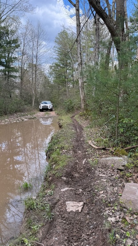
hell yeah as long as u have 9”ish gc and skids. the 2nd to last mud hole was deeper due to recent rain like 2 1/2’
C
CC
Rated 3/5
Open
Visited: 04/24/2026
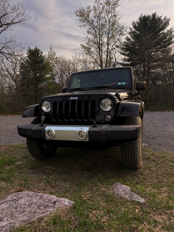
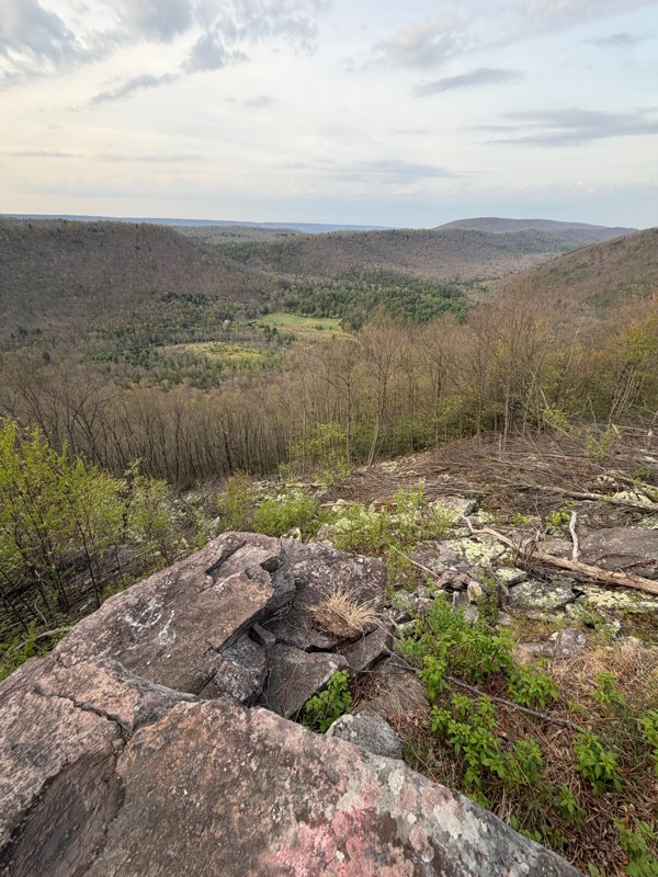
Washouts have made it a bit harder to traverse. Definitely recommend taking a vehicle with at least 34” tires, aired down and maybe a 1-3” lift depending on vehicle. Also, be careful of how the rocks ...

GM
Gabrielle McVey
No Rating
Open
Visited: 12/25/2025
very fun trail, but super rocky, heading towards sharp back hollow
D
Darin
Rated 5/5
Open
Visited: 12/25/2025
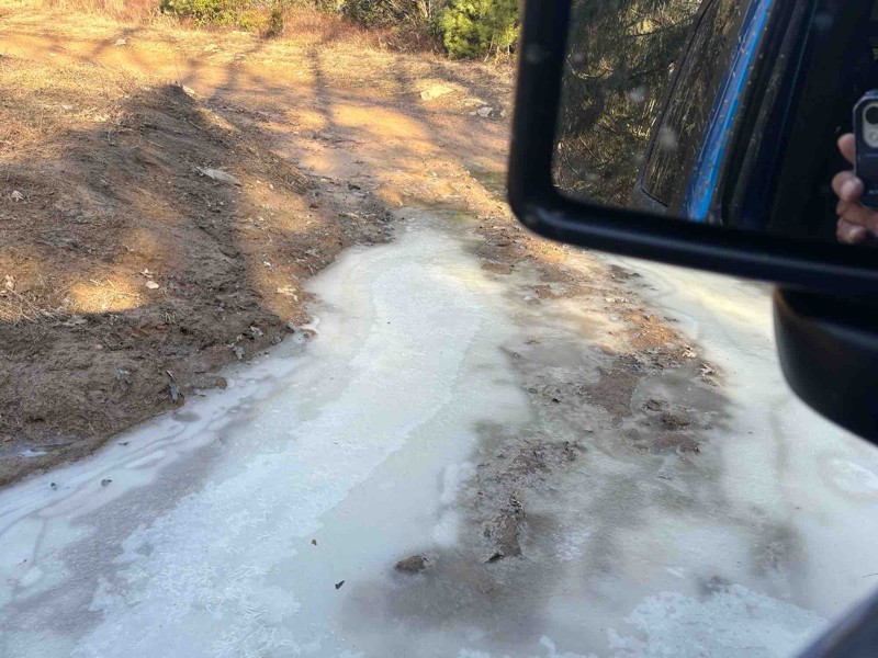
this is a very fun trail, but there will be a lot of pinstriping which when you read it, you don't realize how intense but the branches are very very close to the car so it's like going through a tree...
D
Darin
Rated 4/5
Open
Visited: 09/16/2025
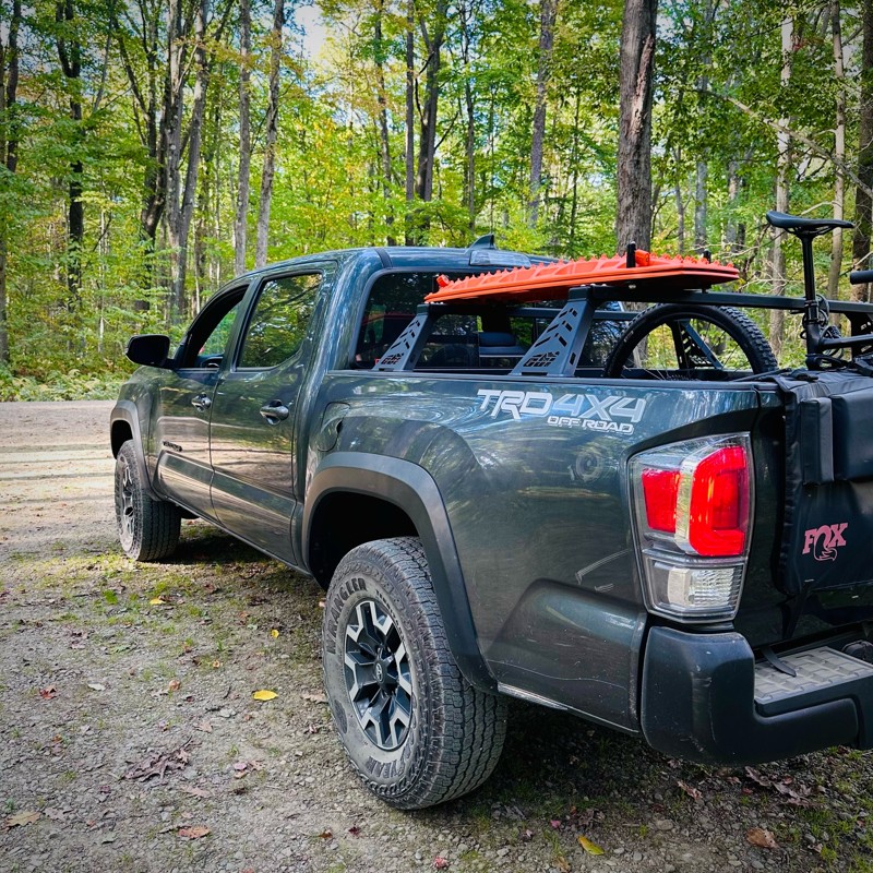
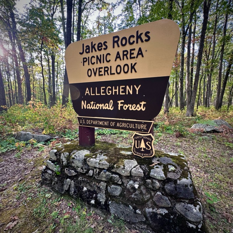
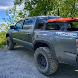
Drove this on my way to Jakes Rocks, very quiet. Saw a few others along the way and there were some people in the dispersed camping sites. Nice views from Jakes Rocks.
Mike
CS
Carl Sirles
Open
Visited: 08/19/2025
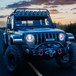
We did both Barney Rubble (a 7 to 8 on the scale) and this trail, supposedly a 5 on the scale. We found this trail every bit as challenging as Barney Rubble, maybe due to my wheelbase. We got through ...
Dale
No Rating
Open
Visited: 08/03/2025
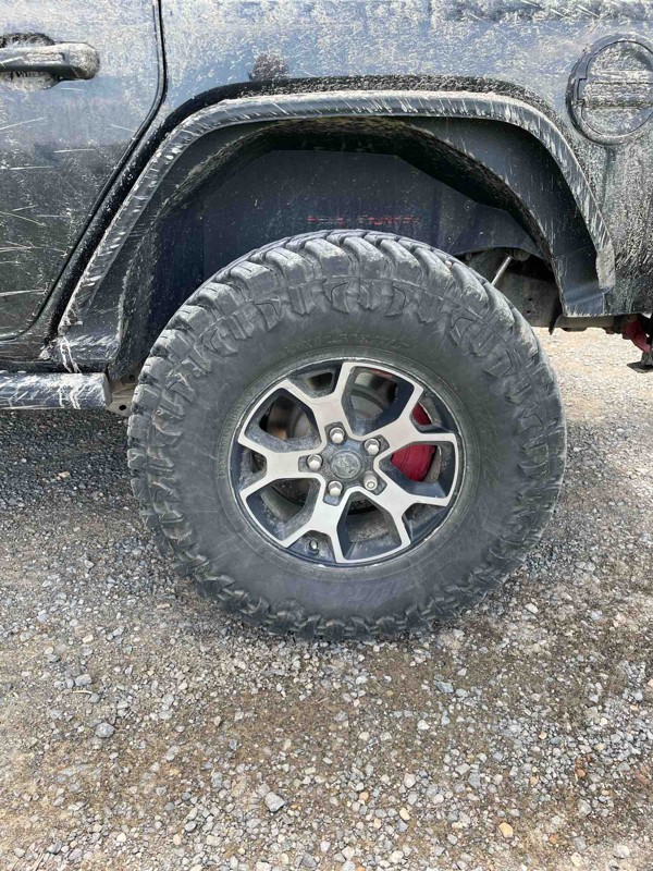
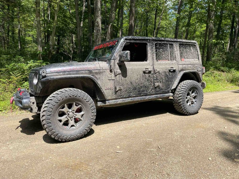
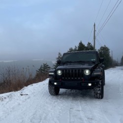
Dry on the run was able to hit 20mph on the first half and 2nd half had more cobblestone rock causing slower speed
Cory Lesher
No Rating
Open
Visited: 07/25/2025
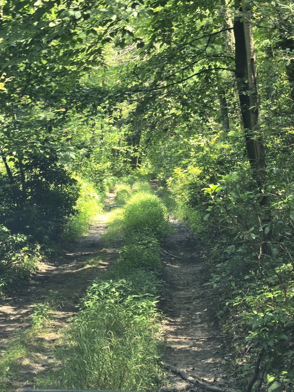
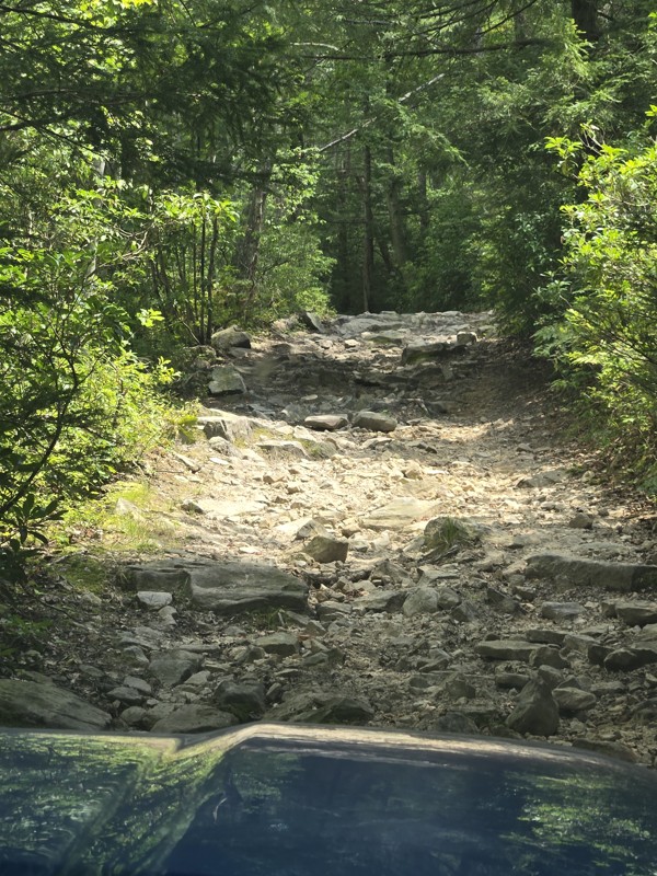
My wife and I enjoyed this trail. I would say that it's very narrow and not a lot of areas for passing. We would rate it 10/10 if was a foot and a half wider. You'll see from the photos It's even h...
JR
Jeff Reitz
Open
Visited: 04/13/2025
Enjoyed Barney Rubble today and earned my first BOH.
The trail is rated appropriately and moves east to hard as you move left to right on three lines.
Moderate boulders, and some medium drop offs, a...
Cory Lesher
No Rating
Open
Visited: 04/06/2025
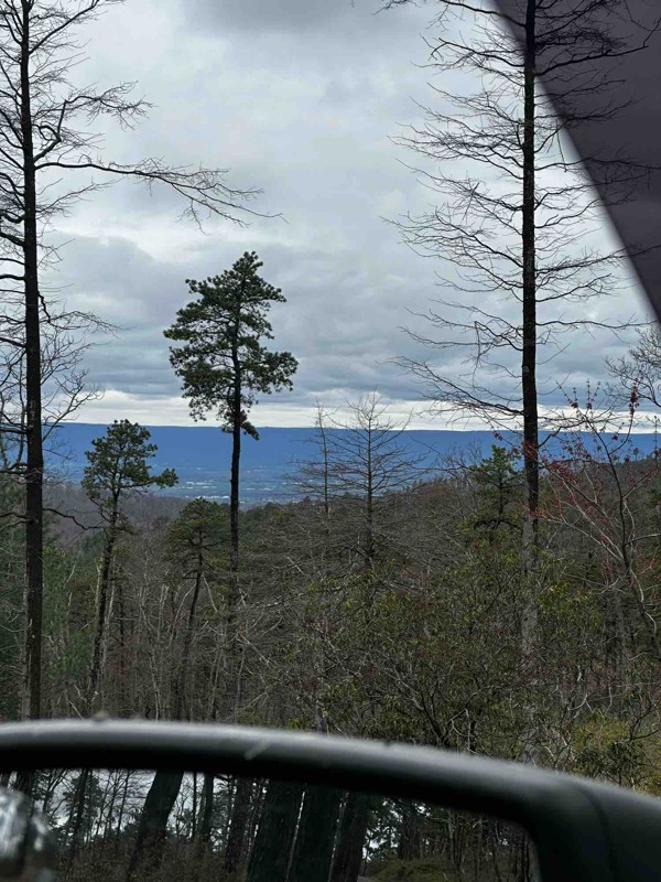
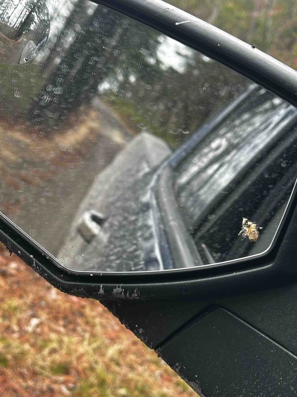
It’s not really much of a trail more of a gravel road. Most everywhere that looks fun is closed off. Gotta get creative.
GH
Greg Hoskins
Rated 5/5
Open
Visited: 03/29/2025
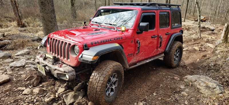
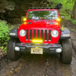
This was one of the most difficult trails I've ever conquered, and it took expert spotting to get my modest Jeep JL on 35s through unscathed, and even then, via the easier lines. Not for beginners, bu...
Peter Dougherty
Rated 4/5
Open
Visited: 03/29/2025
Sadly this is no longer a Jeep Badge of Honor trail; it was de-listed in Jan. 2025. It's a good trail, great for beginners, and was, for years, the gateway for NYC/NJ area Jeepers to enter the BoH pro...
Peter Dougherty
Open
Visited: 03/29/2025
One of my favorite trails in the park and deserving of a Jeep Badge of Honor rating. There are three tracks to reach the top; the left side is very easy, the middle line is for extreme rigs and buggie...
Peter Dougherty
Open
Visited: 10/19/2024
This was one tuff trail with a lot demanding sections. This can be really hard on jeeps with smaller tires or lifts.
Don n Kim
Open
Visited: 09/21/2024
This was everything advertised. A very technical trail.
Don n Kim
Rated 5/5
Open
Visited: 09/13/2024
This was the first trail we ran during our weekend trip to Rausch. It was a fun warmup! The flexy section was interesting, but nothing was overly challenging.

Steve Newcomb
Open
Visited: 09/13/2024
Decent little trail. We took the easier line, but it was still a fun challenge.
Steve Newcomb
Open
Visited: 08/16/2024
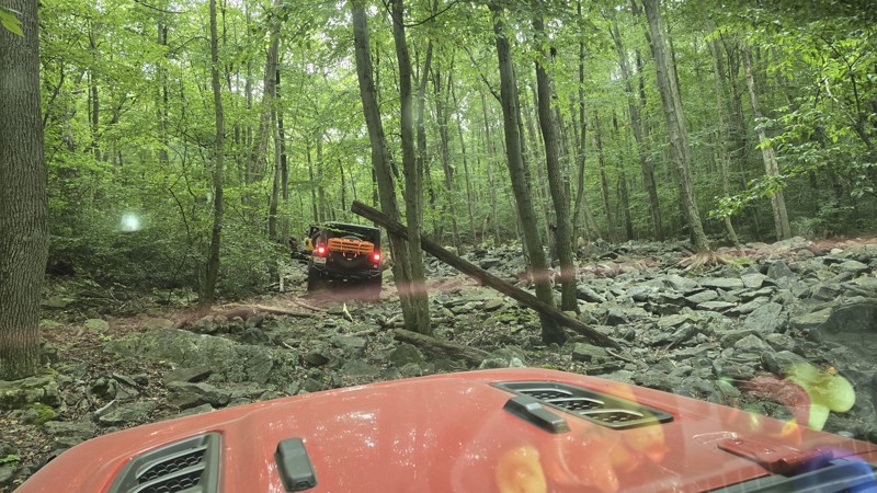
This trail broke me. Not my rig, but it broke my brain. The first time I ran it I tried the "moderate" center line but I ultimately had to bail, taking the left easy line ("Pebbles") up. They rate it...
Peter Dougherty
Open
Visited: 08/14/2024
One of the best "green" trails in the park. It's got a bit of everything, it's tight and demanding in spots, but you'll have a blast on 102. Strongly recommended!
Peter Dougherty
Rated 4/5
Open
Visited: 08/03/2024
This is a fun loop trail with nice views. Suitable for a levels of experience and builds.
Don n Kim
Open
Visited: 08/03/2024
This a tuff little trail a little harder on the short wheelbase vehicles.
Don n Kim
Open
Visited: 07/20/2024
Moderately difficult trail but a good challenge and a lot of fun. Strongly recommended! Trees are extremely tight along this trail so choosing the correct line is an absolute must! Stock rigs should g...
Peter Dougherty
CP
Chris Payne
Open
Visited: 06/29/2024
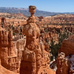
Great trail. Don’t be afraid to
Steve Hendrick
Rated 5/5
Open
Visited: 06/24/2024
Tough trail. Some of the lines that work are not obvious. Was glad to have LCA skids. Wheeler it with a local group that said it was markedly harder than even a month ago.
JP
Jason Priddle
Rated 3/5
Open
Visited: 08/17/2023
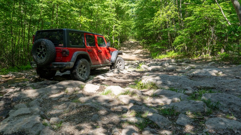
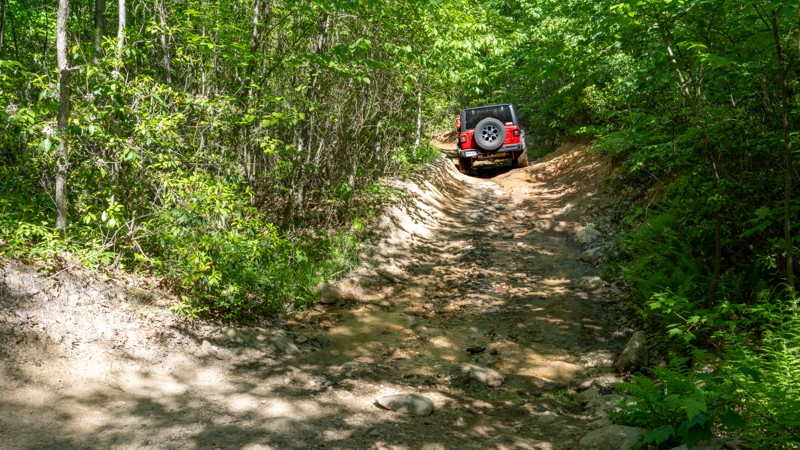
Trail 10 is a good way to travel the length of the eastern reserve if you are looking for some rocks and some views, and want to avoid the fast-paced, dusty traffic on the East Anthracite Road. It's n...

Ryan Boudreau
Official Crew
No Rating
Open
Visited: 07/08/2023
Trail is in great shape. Lots of bikes out there, so pay attention.
B
Bryan
No Rating
Open
Visited: 07/08/2023
Trail is in great shape. Puddles weren't terribly deep or soft, they were easy to get through.
B
Bryan
Rated 3/5
Open
Visited: 05/29/2023
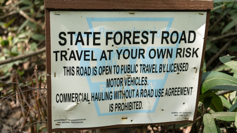
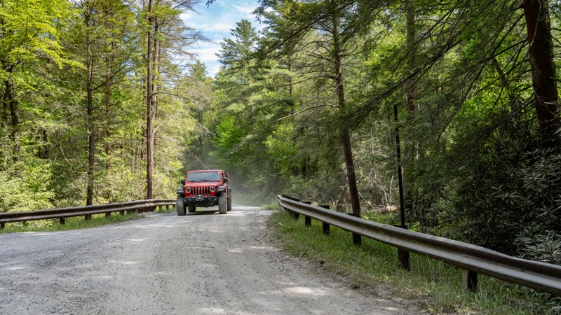
The reservoir has to be the highlight of this road. It's pretty uneventful otherwise. From a map, it looks like it would be a great connector road, but literally every road we could find off of this o...
Ryan Boudreau
Official Crew
Rated 5/5
Open
Visited: 05/28/2023
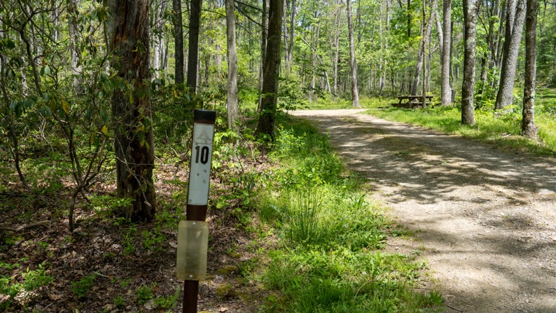
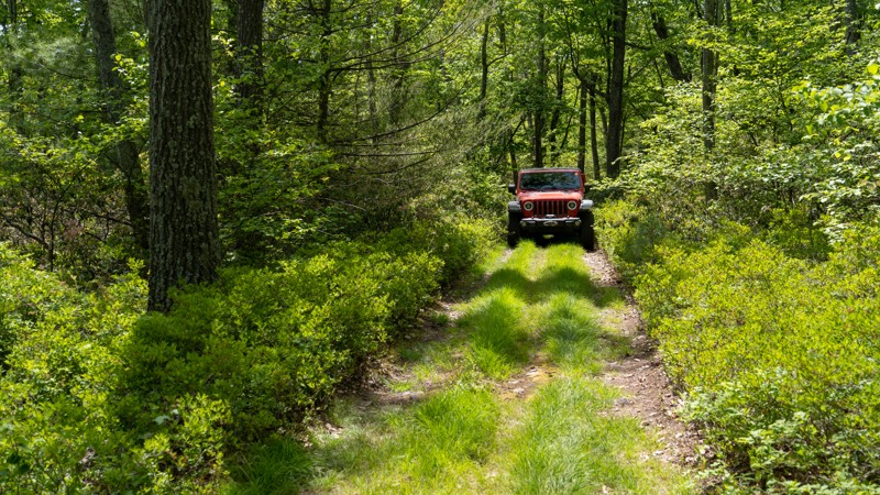
This trail has such a cool feel, like traveling through Jurassic Park. Yea, it's super tight and annoyingly rough, but its a great trail in the middle of the dense forest. No views, but good scenery I...
Ryan Boudreau
Official Crew
Rated 3/5
Open
Visited: 05/28/2023
Not my favorite trail in the area, but not the worst either. It's just rough and narrow through the trees. Definitely wouldn't take a car back here, but anything with good clearance would be just fine...
Ryan Boudreau
Official Crew
Rated 1/5
Open
Visited: 05/28/2023
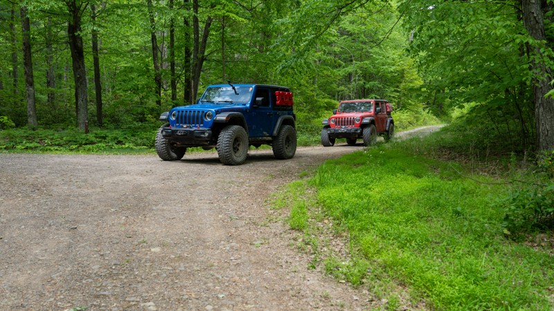
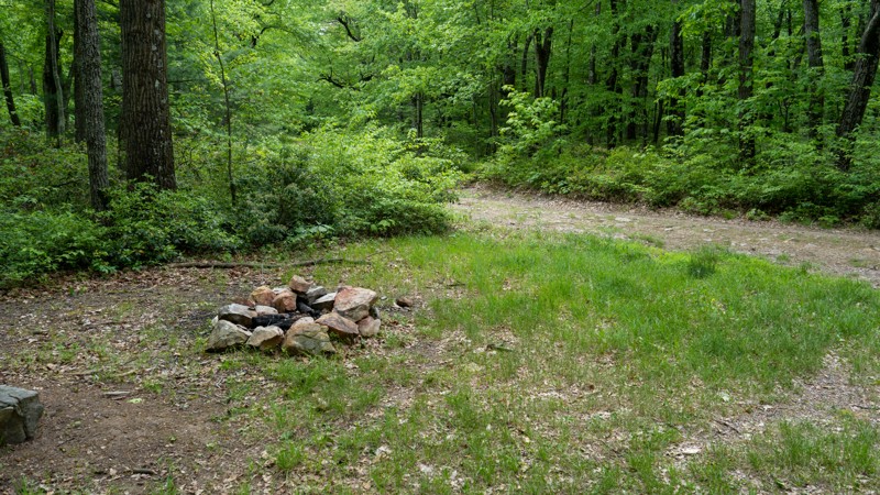
Nothing worth noting along this road. It's just a rough and rocky exit for Wampler. There looks to be one campsite along the road since it is wide, flat and has a fire ring, but the legality of the si...
Ryan Boudreau
Official Crew
Rated 2/5
Open
Visited: 05/28/2023
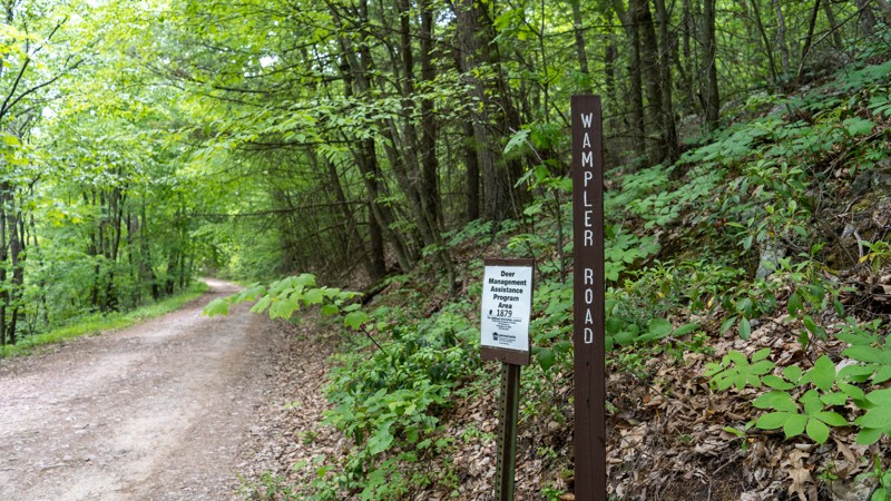
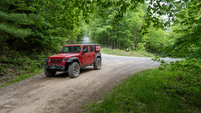
Pretty boring road. Almost any vehicle can get to the overlook. The road is not wide enough to accommodate RVs, or even turn them around, but any standard car can get to the overlook. Past that, there...
Ryan Boudreau
Official Crew
Rated 3/5
Open
Visited: 05/28/2023
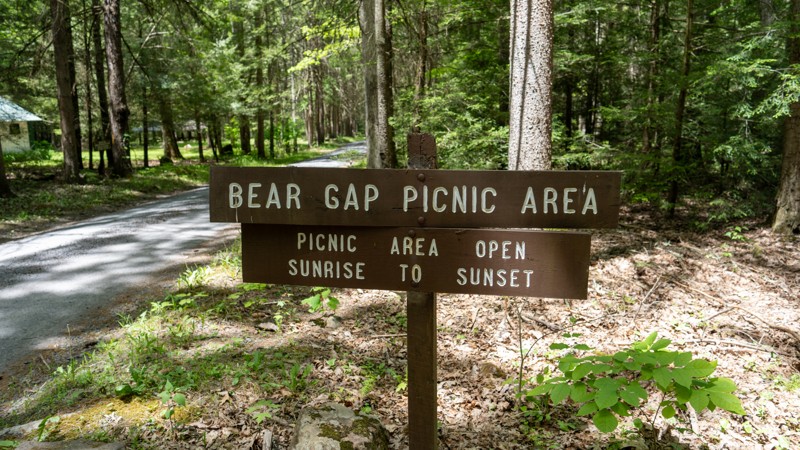
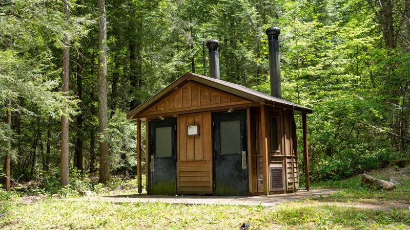
Large and well-maintained picnic area, and the bathroom is a plus. Not much else to say about the road. It's mainly just an access road that is paved along the westernmost mile or two.
Ryan Boudreau
Official Crew
Rated 5/5
Open
Visited: 05/28/2023
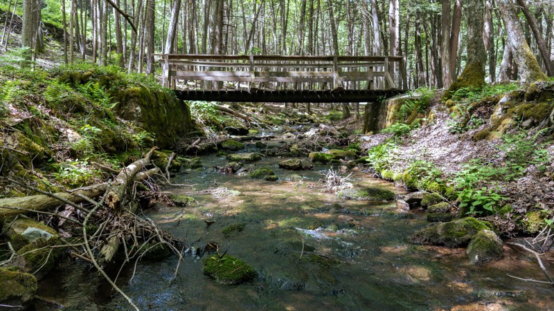
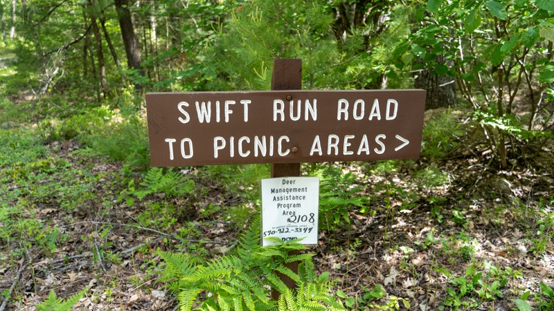
Although this is a super easy road, I found it to be extremely scenic and a wonderful drive through the state forest. The picnic areas are big, quiet, and well taken care of with plenty of things to s...
Ryan Boudreau
Official Crew
Rated 1/5
Open
Visited: 05/27/2023
The active logging has made most of the trail an easy gravel road now, and then beyond that, the trail is really not made for the newer, wider vehicles. You are constantly dragging across trees, and t...
Ryan Boudreau
Official Crew
Rated 3/5
Open
Visited: 05/27/2023
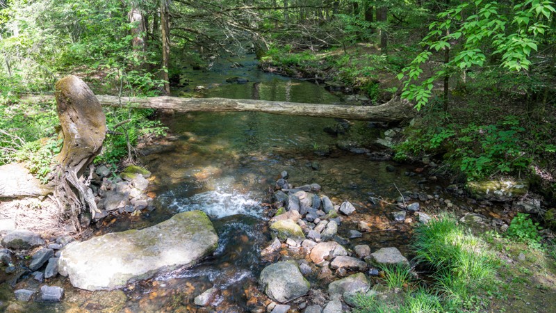
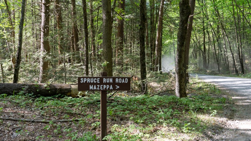
Easy gravel road with a few campsites and nice creek access.
Ryan Boudreau
Official Crew
Rated 1/5
Open
Visited: 05/27/2023
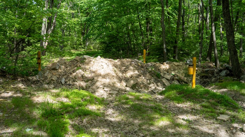
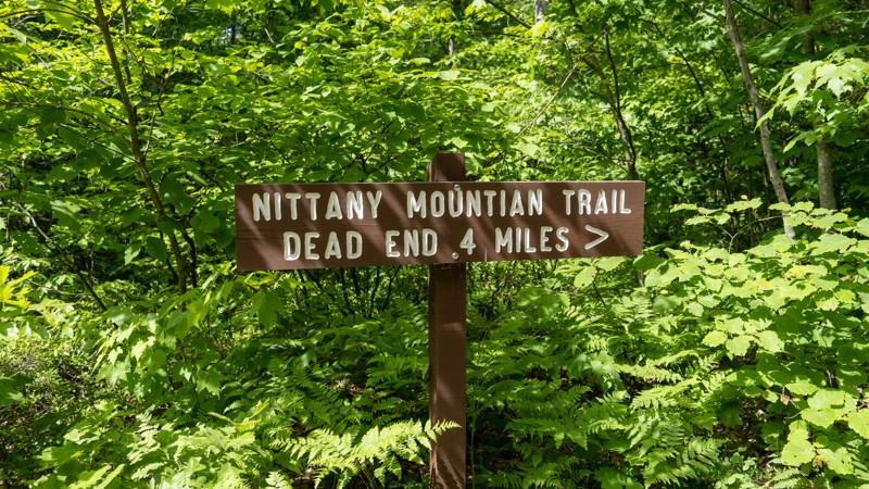
I found this trail to be a terrible experience in fa ullsize vehicle. It's super tight in the tree scratching the paint really bad. It's just rocky enough the entire way to keep you at crawl speeds, a...
Ryan Boudreau
Official Crew
Rated 2/5
Open
Visited: 05/27/2023
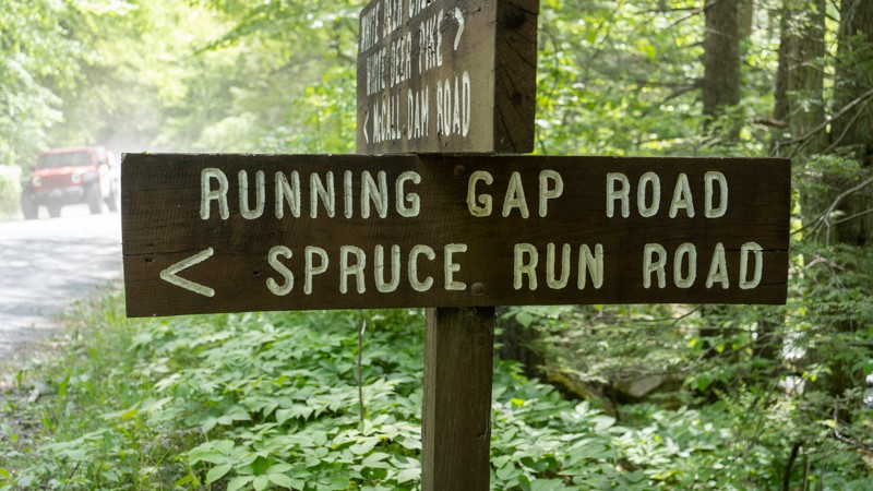
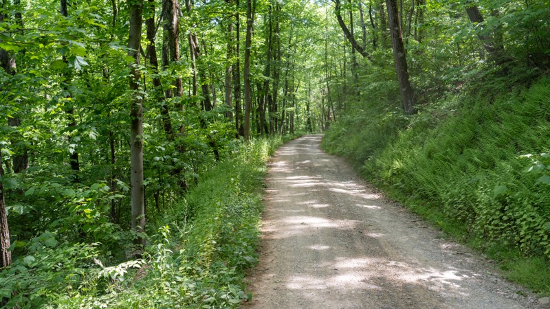
Just a simple connector road with HUGE waterbars!
Ryan Boudreau
Official Crew
Rated 2/5
Open
Visited: 05/27/2023
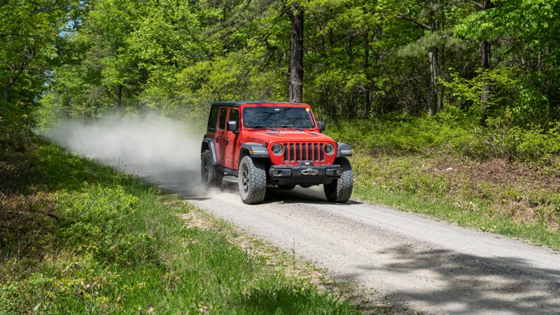
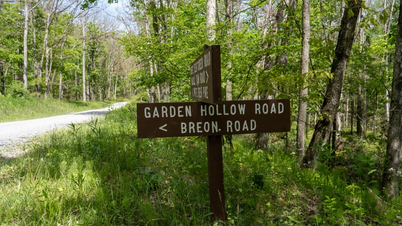
Pretty boring, fast paced road with no views and no real destinations unless you are using it to access Duncan Trail. The campsite along the road is ok, but there are far better sites along White Deer...
Ryan Boudreau
Official Crew
Rated 4/5
Open
Visited: 05/27/2023
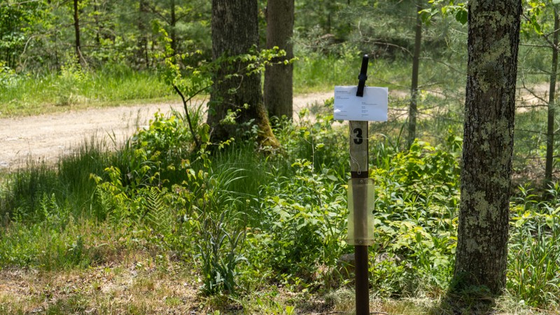
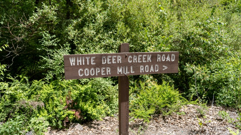
The road itself is nothing special. The creekside views are great, and several areas to stop, hangout, and enjoy the cool waters. Great road if you are looking for camping.
Ryan Boudreau
Official Crew
Rated 5/5
Open
Visited: 05/27/2023
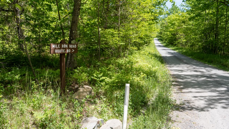
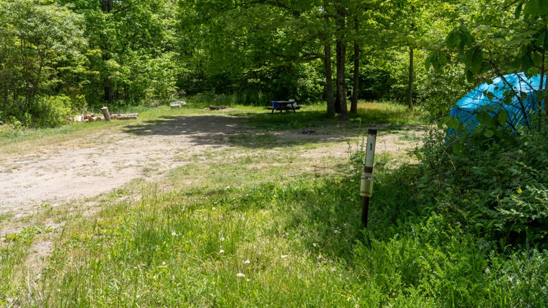
The road itself is nothing special. However, the camping along it is fantastic! Very remote and spread out. Great place if you want to spend the weekend.
Ryan Boudreau
Official Crew
Rated 2/5
Open
Visited: 05/27/2023
Pretty boring road. Drivable by anything. One scenic lookout and a lot of thin forest areas due to logging activities.
Ryan Boudreau
Official Crew
Rated 1/5
Open
Visited: 05/27/2023
I can see why they consider this a drivable trail, because the state just doesn't want to encourage sedans and trailers to be on this road, but it is a far cry from needing 4wd like signs suggest. It'...
Ryan Boudreau
Official Crew
Rated 4/5
Open
Visited: 05/27/2023
Good road to enjoy the creeks Easy for any vehicle.
Ryan Boudreau
Official Crew
Rated 5/5
Open
Visited: 05/26/2023
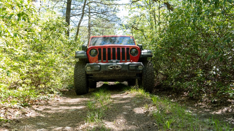
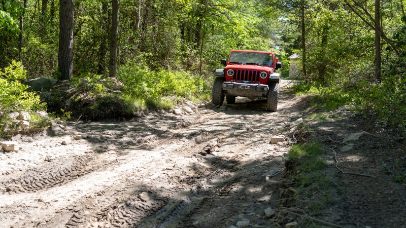
Best trail in BESF. Plenty of obstacles to entertain someone in a Jeep or other capable 4wd. Do you need lockers, giant tires, or body armor? HELL NO! But is it rougher and more fun than the gravel ro...
Ryan Boudreau
Official Crew
Rated 3/5
Open
Visited: 05/26/2023
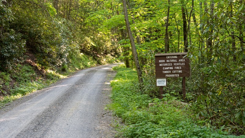
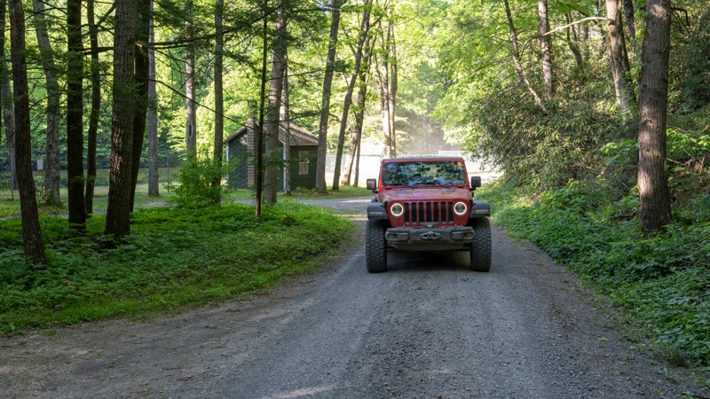
Just a simple connecting road. Not much to see or do along this road except travel to the next one.
Ryan Boudreau
Official Crew
Rated 4/5
Open
Visited: 05/26/2023
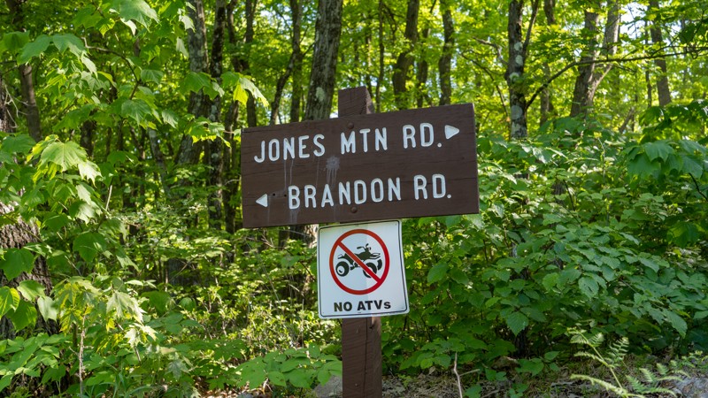
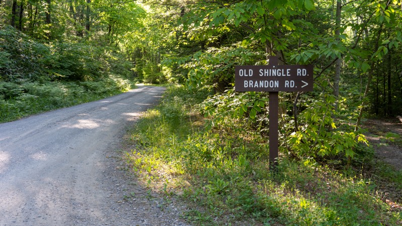
Definitely scenic. Creek is a great place to hang out or cool down in the summer heat.
Ryan Boudreau
Official Crew
Rated 3/5
Open
Visited: 05/26/2023
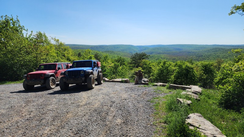
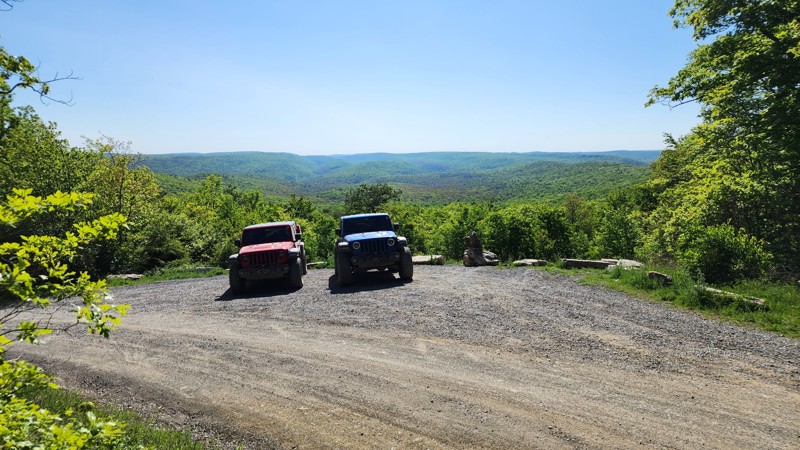
Fast-paced gravel road with a good scenic viewpoint and a campsite.
Ryan Boudreau
Official Crew
Most Popular

Updated: 10/15/2024
Panther Run Road
Siglerville, Pennsylvania
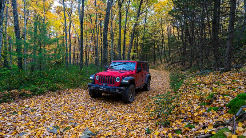
Panther Run Road is a connector or bail-out route running from Little Poe Road to Siglerville Millheim Pike. At the southern outlet, Siglerville Millheim Pike, you aren't far from the Big Valley Vista lookout, with its beautiful view of the valley and farmlands below. Panther Run is mostly a cobblestone surface, so airing down will make it a more comfortable ride, and the second half heading towards Siglerville Millheim Pike is prone to mud. Be aware there is also a gate that can be closed at the Siglerville Millheim Pike outlet. If you enjoy multiple offroad platforms, Panther Run Road is also part of Bald Eagle State Forest's dual sport moto trail system.
Updated: 10/15/2024
Cowley Hill
Austin, Pennsylvania
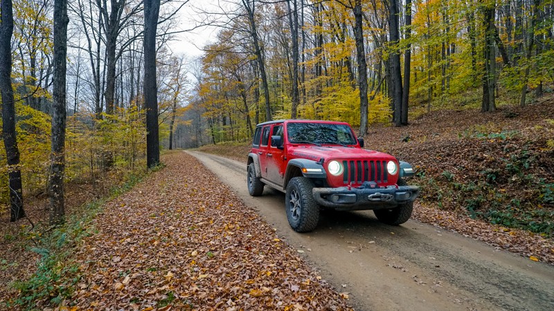
Cowley Hill is a well-maintained route through a northern section of the Elk State Forest. Cowley Hill runs from Sizerville State Park to its outlet on Ridge Road. There is no camping along the Cowley Hill trail, but there is camping available on the Sizerville State Park grounds that opens the second Friday in April and closes in mid-December. During autumn, this drive treats you to regional colors. Roads in this area can be hit or miss, as many are gated for administrative use only.
Updated: 09/10/2026
Rausch Creek Off Road Park: Tower Road
Joliett, Pennsylvania
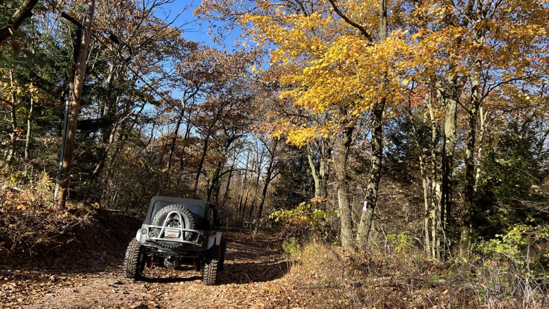
Even though Rausch Creek has many "green" trails in its park, not all of them are easy. This trail, however, is as easy as they come. Take this road as a fast access trail on the park's north end to access the blue, black, and even red trails (i.e., hard, harder, and hardest) Rausch Creek is known for.
As with the rest of the trails at Rausch Creek, primitive camping can be found (with advanced notice) in their main parking lot.
Updated: 09/10/2026
41 - Anthracite Outdoor Adventure Area
Ranshaw, Pennsylvania
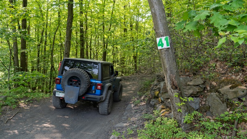
Trail 41 is a straight-through connector trail from East Anthracite Road to trail 17. 41 is in the Eastern Reserve of Anthracite Outdoor Adventure Area (AOAA). This trail is rough and bumpy but not technical. One mud hole halfway through the trail can be sticky at times but typically not that deep. The terrain is mainly packed dirt with protruding chunky rocks, flat in shape and the width of basketballs. Trail 41 is primarily used as an access trail to Barney Rubble, but it does pass by one of only two visible bat caves on the property. Look for the large black tube, just off the trail to the west, after passing trail 10.
This is an easy trail suitable for any high clearance vehicle.
Be sure to reference the AOAA website for accommodation links, days and hours of operation, waiver, and pass purchasing links.
Updated: 10/15/2024
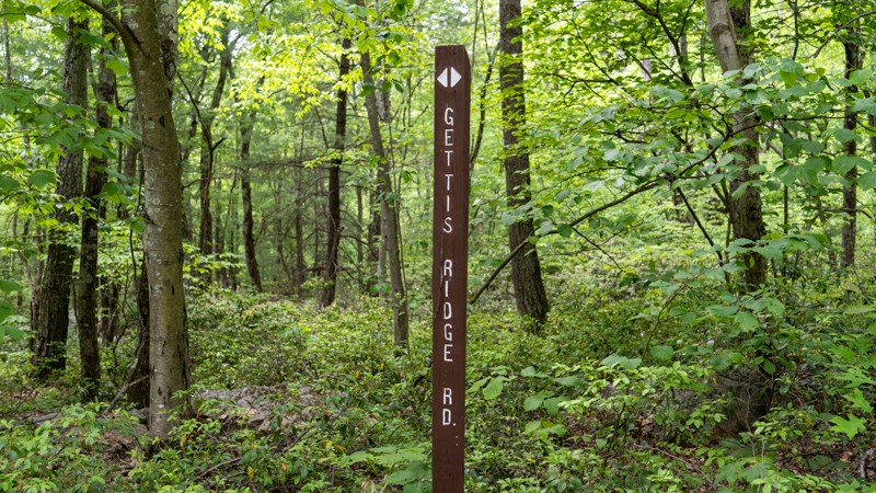
Gettis Ridge Road
Boalsburg, Pennsylvania
Gettis Ridge is a straight-through, rough, bumpy two-track road connecting Wampler Road to Beidleheimer Road. Users should be aware that although this shows up on maps as connecting to Keith Springs, there are gates keeping the section from Keith Springs to Wampler Road closed to motorized users. The road surface along Gettis Ridge is not well-traveled and consists of hard-packed dirt and small flat rocks the size of dinner plates. A few shallow mudholes are the only problems for your clean paint. Although this road is easy, the rough terrain is best suited for high clearance vehicles. Airing down is highly encouraged to smooth out the ride.
Updated: 10/15/2024
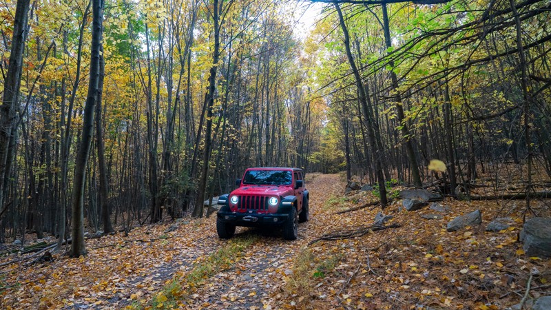
Red Gobbler Trail
Siglerville, Pennsylvania
Red Gobbler Trail is a short out-and-back trail spurring off Strongs Improvement Road. Red Gobbler is considered one of Bald Eagle State Park's "Drivable Trails" open for use by licensed motor vehicles. The trail receives no regular maintenance, so the park recommends 4WD. Although the trail is easy, there are a few spots where water seems to gather and could create small mud puddles. During the Fall, this trail shows off its colors, with certain trees turning an almost neon green! The trail ends at a permanent gate to a private property line, but there is room to turn around.
Updated: 08/19/2026
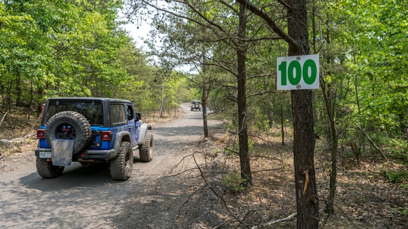
100 - Anthracite Outdoor Adventure Area
Fairview-Ferndale, Pennsylvania
Trail 100 is a simple and short connector road between trails 115 and 101 in the Western Reserve of Anthracite Outdoor Adventure Area (AOAA). This trail offers no obstacles and traverses a well-maintained, hard-packed dirt road through thick tree cover. Several unique rock formations can be found along this trail. Trail 100 is primarily used as an entry and exit point to the Mammoth trail, avoiding the muddy sections of Puddle Road. This trail is suitable for any high clearance 4x4.
Be sure to reference the AOAA website for accommodation links, days and hours of operation, waiver, and pass purchasing links.
Updated: 10/15/2024
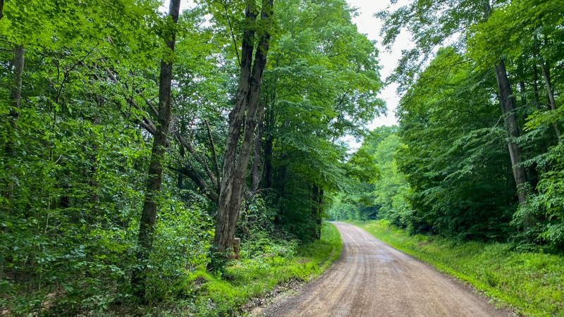
Lamonaville Road
Marienville, Pennsylvania
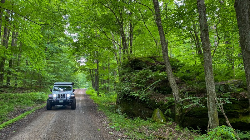
Originating from Marienville, PA, Lomonaville Road gives quick access to the Allegheny National Forest and the more exciting roads you are most likely looking for. It is a mix of hardpacked dirt, gravel, and a slight stretch of pavement when traveling through private land. There is no camping.
Updated: 10/15/2024
Lamonaville
Marienville, Pennsylvania
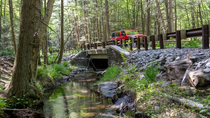
The road is a mix of hardpacked dirt and loose gravel that any vehicle can accomplish. The official Allegheny National Forest road ends at the State Game Lands Number 28 area. Once inside the State Game Lands, the road reaches Spring Creek, offering good angling opportunities and incredible scenery. While the Forest Service road officially ends, it appears to join another road to continue to Big Run Road. Camping opportunities are also scattered along the way.
Updated: 10/15/2024
Cooper Mill Road
Forest Hill, Pennsylvania
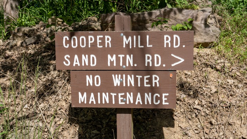
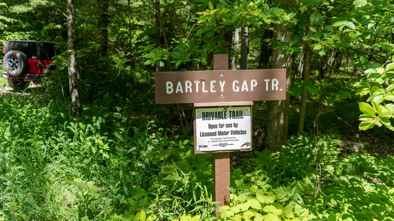
Cooper Mill Road is an easy, scenic, gravel connector road that travels north and south between Highway 192 and Interstate 80. You may encounter washboarding along the road, but the road is perfectly suitable for any vehicle. Cooper Mill Road has one scenic overlook on the north edge of Sand Mountain and several scenic bridge crossings, with great watering holes to get reprieve from the summer heat. This road passes numerous hiking trails and a few wildlife habitats, making it a great place to explore the Bald Eagle State Forest on foot. Camping can be found on the road's northern end at State Forest site number 9, a roadside campsite with a steel fire ring and a picnic table. Camping permits and reservations are required for all State Forest Campsites and can be reserved online or by calling the State Forest Office. There is little to no cell service along the road. Making prior camping arrangements is highly recommended.
Updated: 10/15/2024
Bartley Gap
Laurelton, Pennsylvania
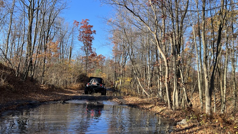
Bartley Gap is noted as a driveable trail within the Bald Eagle State Forest. This nearly 3/4-mile long trail traverses down an easy gravel two-track and dead-ends at a hunting camp and the start of the Bartley Gap Hiking trail. Vegetation in the middle of the two-track might present a problem to low-clearance cars, but otherwise, this trail is suitable for any vehicle with decent ground clearance.
Updated: 09/10/2026
Rausch Creek Off Road Park: G and P Green
Joliett, Pennsylvania
Rausch Creek is known for its challenging obstacles and mud holes, but if you are in a stock rig and/or a beginner, trail G/P is a great little trail for you to try. This trail meanders through the lush forest, where you will have a few rock obstacles and mud pockets to contend with. This is a great trail to get the day started before you venture out to conquer the harder trails at Rausch Creek Off Road Park.
As with the rest of the trails at Rausch Creek, primitive camping can be found (with advanced notice) in their main parking lot.
Updated: 09/10/2026
104 - Anthracite Outdoor Adventure Area
Fairview-Ferndale, Pennsylvania
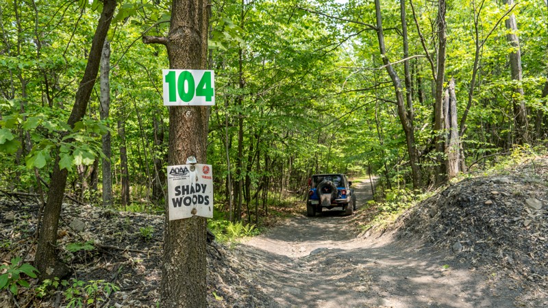
Trail 104, also known as Shady Woods, is a short spur road off of trail 101 in the Western Reserve of Anthracite Outdoor Adventure Area (AOAA). This trail offers no obstacles and traverses a single-wide, hard-packed dirt road through thick pine and hardwood forest. Although not difficult, there are a couple of shallow mud puddles and one spot where you must navigate between a few tight trees. Vehicles with wide, one-ton type axles might find this trail a bit too tight for their liking. This trail is best suited for narrow, high clearance vehicles.
Be sure to reference the AOAA website for accommodation links, days and hours of operation, waiver, and pass purchasing links.
Updated: 10/15/2024
Mile Run Road
Elimsport, Pennsylvania
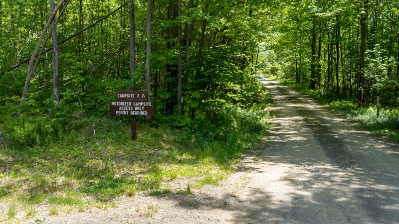
Mile Run Road is a straight-through gravel road, two vehicles wide, that passes two motorized campsites. The road offers no scenic views and is an easy, simple drive through the forest. This road is suitable for any vehicle, including RVs and trailers, and best fits those looking to camp. Campsite number 1 is located on the west end of the road near the intersection with Pine Flat Road. Campsite 1 is a good-sized site directly next to the road. It offers plenty of level ground for several vehicles and a few tents and has a steel fire ring and picnic table. Trailers would fit fine in the site but must be backed in. Campsite number 2 is located halfway through the road, on the north side of Little Mountain. This campsite is an absolute gem and one of the best sites within Bald Eagle State Forest. The site sits back off the road nearly a quarter mile and is a massive round-about site with tons of room for the biggest trailers or any sized group. A flat, gravel tent pad is provided, and plenty of grassy space. There is only one picnic table and a fire ring, but the ample space at this site is great for sprawling out. Camping permits and reservations are required for all State Forest Campsites and can be reserved online or by calling the State Forest Office. There is spotty cell service along this road. Making prior camping arrangements is highly recommended.
Updated: 09/10/2026
Lake Barry - Anthracite Outdoor Adventure Area
Gowen City, Pennsylvania
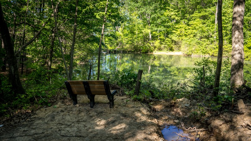
Lake Barry is a short dead-end trail in the Eastern Reserve of Anthracite Outdoor Adventure Area (AOAA). The trail is an easy drive and suitable for any vehicle. It begins about halfway down East Anthracite Road, traveling south for 300 yards across along hardpacked dirt with an occasional shallow mud hole and a few small and flat exposed rocks the size of softballs. The trail ends at a reclaimed, scenic lake with a couple of benches, a few picnic tables, and a wooden dock. There is enough room at the end to accommodate about ten vehicles. This is an excellent place to plan your lunch stop and take in the natural beauty in the middle of the AOAA park.
Be sure to reference the AOAA website for accommodation links, days and hours of operation, waiver, and pass purchasing links.
Updated: 01/06/2026
Flat Hollow
Siglerville, Pennsylvania
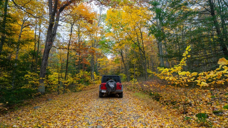
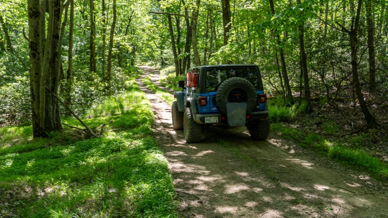
Flat Hollow Road mostly serves as a connector or bail-out route running from the middle of Strong Mountain Road to Strongs Improvement Road. The surface is mostly packed dirt, with the hardest part being a cobblestone-textured rocky climb that is bumpy but mellow. Like many of the trails in the area, it could become muddy during very wet seasons. The trail has outstanding Fall colors.
Updated: 10/15/2024
Old Tar Road
Loganton, Pennsylvania
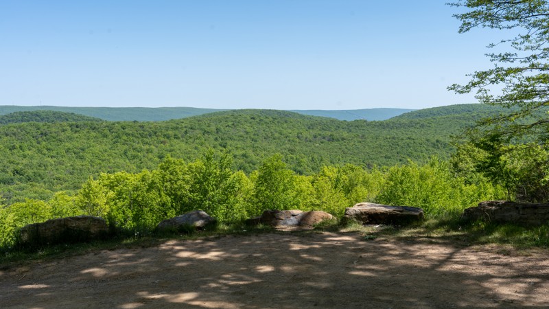
Old Tar Road is a quiet, remote, dead-ending two-track traveling a ridgeline between Shriner Mountain and Brush Mountain. The road takes you through dense, heavily wooded, and shadowy forest, where pinstriping of your paint is almost guaranteed. The road surface contains countless, never-ending potholes that will leave your back screaming for the aspirin. There are several shallow but sticky seasonal mud holes to be cautious of along the trek. 4WD is recommended but not a necessity for this trail. The dense forest provides no views and very few opportunities to turn around. The trail comes to an end at a stone wall, where it then becomes a non-motorized trail.
Updated: 10/15/2024
Pine Flat Road
Eastville, Pennsylvania
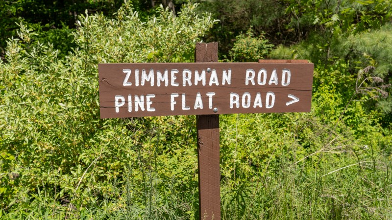
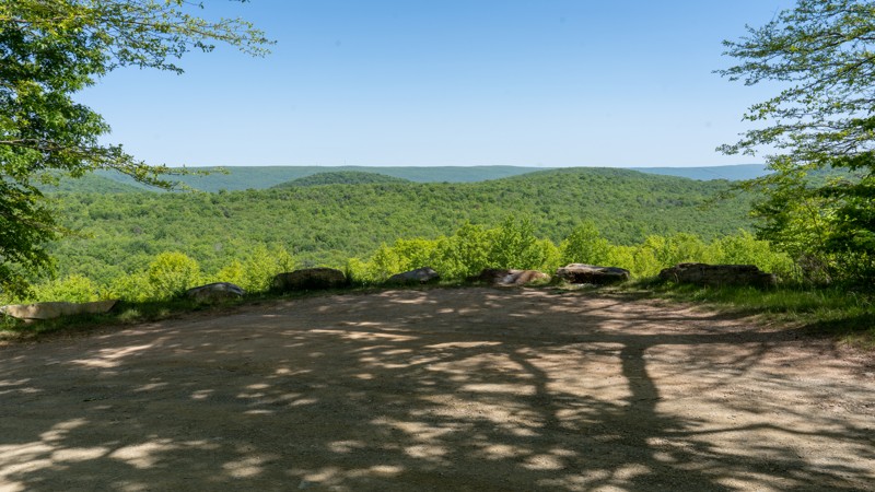
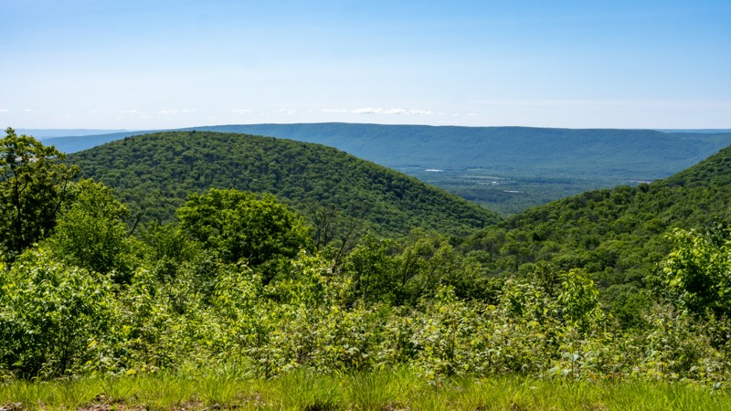
Pine Flat Road is an easy, hard-packed dirt and gravel connecting road primarily used to access Red Tongue Trail. The road is 1.5-2 vehicles wide with occasional potholes and small protruding rocks. The road crosses several active logging areas and offers one scenic lookout point. This road is suitable for any vehicle.
Updated: 10/15/2024
Buffalo Flat Road
Laurelton, Pennsylvania
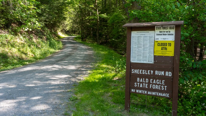
Buffalo Flat Road is an easy, connecting road that offers a quiet drive through the thick vegetation of Bald Eagle State Forest. This gravel road is two vehicles wide, the entire length, and suitable for any vehicle. The road passes Hobo Vista, a large pullout offering scenic views past Bartley Mountain down into the towns of Laurelton, Hartleton, and Mifflinburg. Buffalo Flat Road offers great camping at State Forest site number 34, which pulls off the road a little way to a round-about site with a steel fire ring and a picnic table. Camping permits and reservations are required for all State Forest Campsites and can be reserved online or by calling the State Forest Office. There is little to no cell service along the road. Thus, making prior camping arrangements is highly recommended.
Updated: 10/15/2024
Sheesley Run Road
Laurelton, Pennsylvania
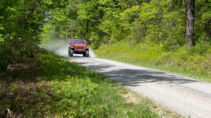
Traveling through Sheesley Hollow and along the creek, Sheesley Run Road is an easy, gravel connecting road within the Bald Eagle State Forest. The 2-mile-long road starts on the south end at Highway 45, just west of Hickernell Spring. It travels along the northern slope of Stitzer Mountain, passes a few hunting camps, and finishes on the north end at a 4-way intersection with Stony Run Road and Buffalo Flat Road. Sheesley Run Road is two vehicles wide, the entire length, and suitable for any vehicle. No camping exists along this road.
Updated: 10/15/2024
Garden Hollow Road
Eastville, Pennsylvania
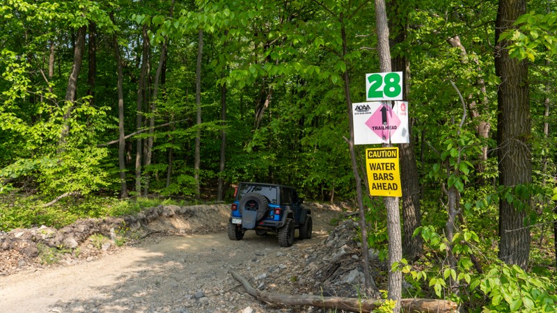
Garden Hollow Road is a simple, easy gravel connector road that cuts through the Bald Eagle State Forest. The road is a broad, single-lane with plenty of room to pull over for oncoming traffic. This road is suitable for any vehicle. Garden Hollow connects Duncan Trail and White Deer Creek, passing one state forest campsite.
Campsite number 10 is slightly smaller than other nearby campsites and is located directly in front of the access to the Duncan Trail. The site has a steel fire ring and a picnic table and is best suited for a single vehicle and a ground tent. Trailers would find it hard to maneuver into the site and keep from blocking access to Duncan Trail. Camping permits and reservations are required for all State Forest Campsites and can be reserved online or by calling the State Forest Office. There is little to no cell service along this road. Making prior camping arrangements is highly recommended.
Updated: 09/10/2026
28 - Anthracite Outdoor Adventure Area
Gowen City, Pennsylvania
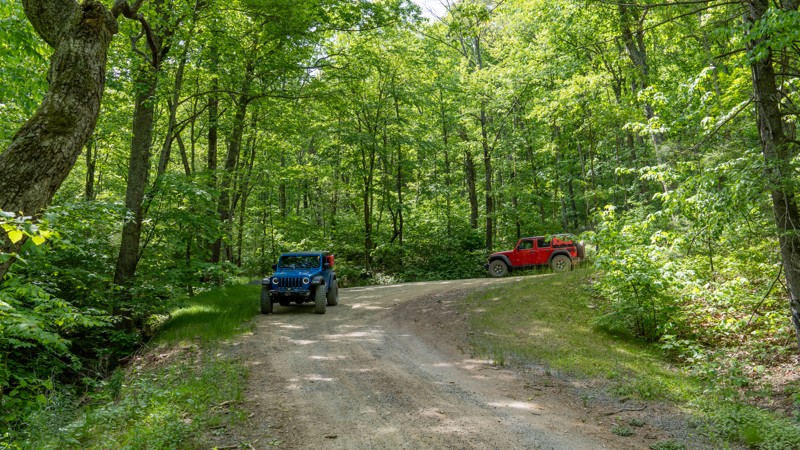
Trail 28 is an easy, straight-through connecting trail that cuts through the three bench levels of the Eastern Reserve of Anthracite Outdoor Adventure Area (AOAA). Trail 28 is a short, steep little hill pitching to 18 degrees as you make your way south to north from trail 36 to East Anthracite Road. The trail is two-way and plenty wide to pass oncoming traffic with excellent visibility. The road surface is hard-packed dirt with small, loose, golf ball and baseball-sided rocks. This trail is suitable for any high clearance 4x4.
Be sure to reference the AOAA website for accommodation links, days and hours of operation, waiver, and pass purchasing links.
Updated: 10/15/2024
Running Gap Road
Forest Hill, Pennsylvania
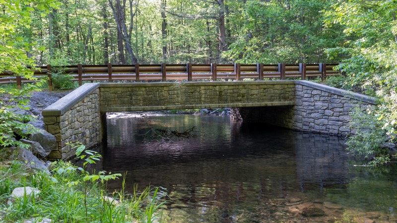
Running Gap Road is a hard-packed dirt road that travels through old mature forests with large trees and descends sharply through a natural terrain gap between Naked Mountain and Nittany Mountain. The road is generally 1.5 vehicles wide, with plenty of opportunities to pass oncoming traffic. Running Gap descends 471 feet in 1.5 miles, necessitating numerous water bars. These large water bars protect the road from erosion and ensure drivers control their speed. Trucks towing trailers might find the water bars and steep grades challenging, but this road is suitable for any vehicle. The road is generally used as a connecting road between White Deer Creek and Spruce Run Road. There are no motorized campsites along the road. However, there is one primitive backpacking campsite that can be seen from the road. This campsite requires users to hike into and does not require a permit if only used for a single night. Users must remember that backpacking campsites cannot be within 200 feet of a forest road.
Updated: 10/15/2024
Brandon Road
Forest Hill, Pennsylvania
Brandon Road is a short, easy connector road between Jones Mountain and Old Shingle Road. The road is entirely gravel and 1.5-2 vehicles wide. The road offers a fantastic scenic pullout that overlooks Mifflinburg. In the colder months, when the leaves have fallen from the trees, you can anticipate views all the way to Lewisburg. The road traverses over the North Fork Buffalo Creek, which is a fantastic place to stop and take in the natural beauty of the Bald Eagle State Forest or relax and cool off with a quick dip in the slow-moving water. This road is suitable for any vehicle.

Upgrade your Membership
Unlock all of the details on every Trail Guide and Scout Route.
Start a 7-day Free TrialCommunity
Partners

