


By clicking "ACCEPT", you agree to be the terms and conditions of each policy linked to above. You also agree to the storing of cookies on your device to facilitate the operation and functionality of our site, enhance and customize your user experience, and to analyze how our site is used.
Pennsylvania Off-Road Trails
15
Total Trail Guides 8

142
Detailed Waypoints 81
Try a Free 7-Day Trial and unlock it all
Start a Free Trial Most Recent Trail Reviews
Rated 5/5
Open
Visited: 05/07/2026
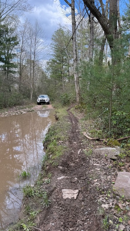
hell yeah as long as u have 9”ish gc and skids. the 2nd to last mud hole was deeper due to recent rain like 2 1/2’
C
CC
Rated 3/5
Open
Visited: 04/24/2026
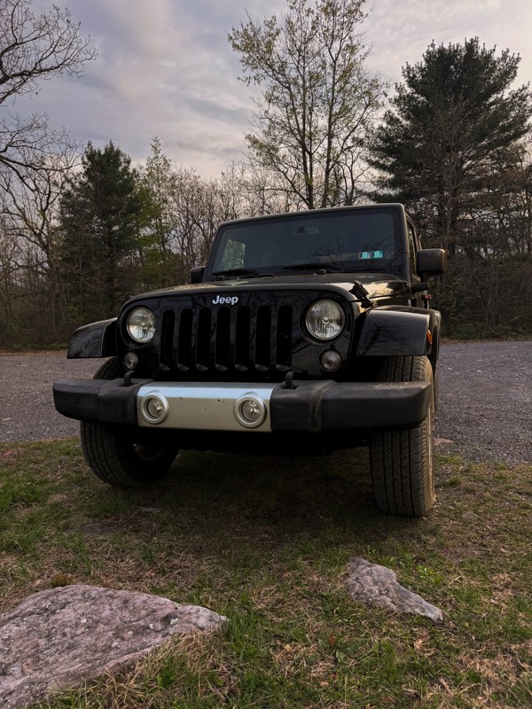
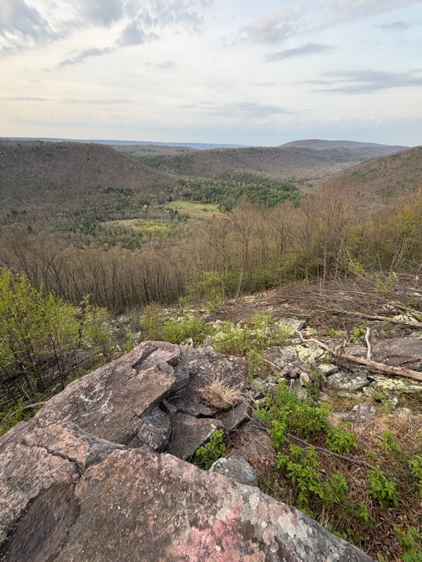
Washouts have made it a bit harder to traverse. Definitely recommend taking a vehicle with at least 34” tires, aired down and maybe a 1-3” lift depending on vehicle. Also, be careful of how the rocks ...

GM
Gabrielle McVey
No Rating
Open
Visited: 12/25/2025
very fun trail, but super rocky, heading towards sharp back hollow
D
Darin
Rated 5/5
Open
Visited: 12/25/2025
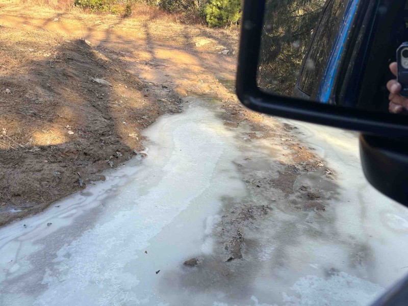
this is a very fun trail, but there will be a lot of pinstriping which when you read it, you don't realize how intense but the branches are very very close to the car so it's like going through a tree...
D
Darin
Rated 4/5
Open
Visited: 09/16/2025
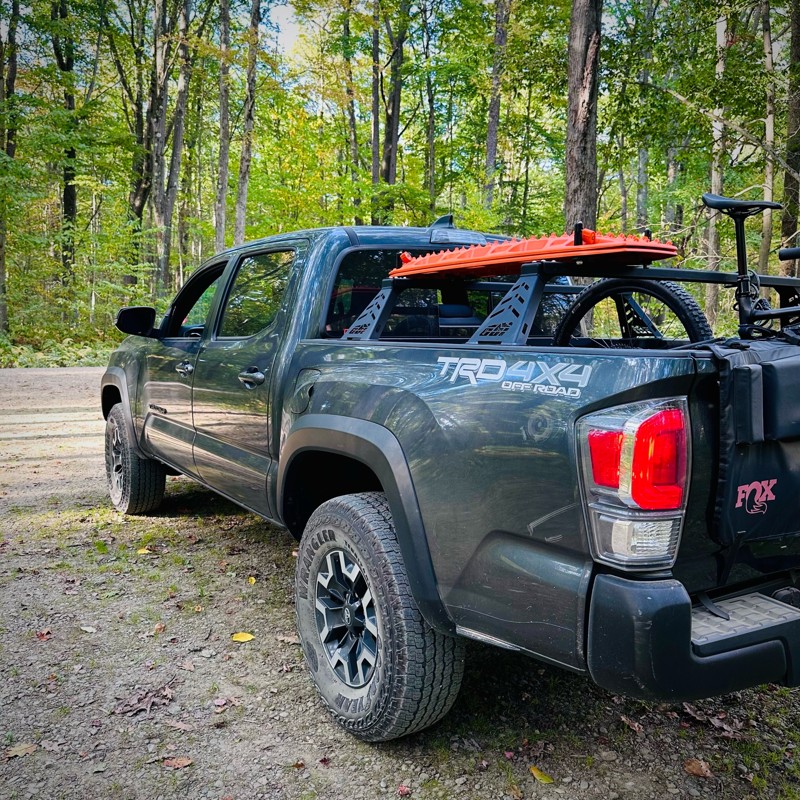
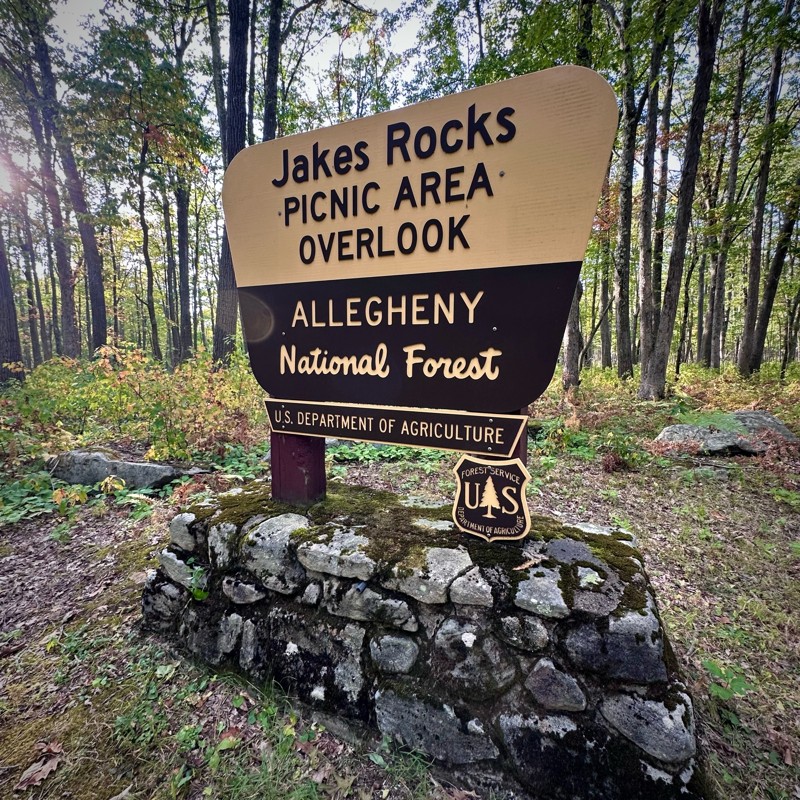
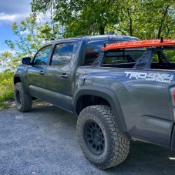
Drove this on my way to Jakes Rocks, very quiet. Saw a few others along the way and there were some people in the dispersed camping sites. Nice views from Jakes Rocks.
Mike
CS
Carl Sirles
Open
Visited: 08/19/2025
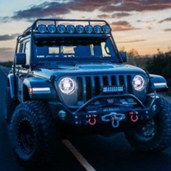
We did both Barney Rubble (a 7 to 8 on the scale) and this trail, supposedly a 5 on the scale. We found this trail every bit as challenging as Barney Rubble, maybe due to my wheelbase. We got through ...
Dale
No Rating
Open
Visited: 08/03/2025
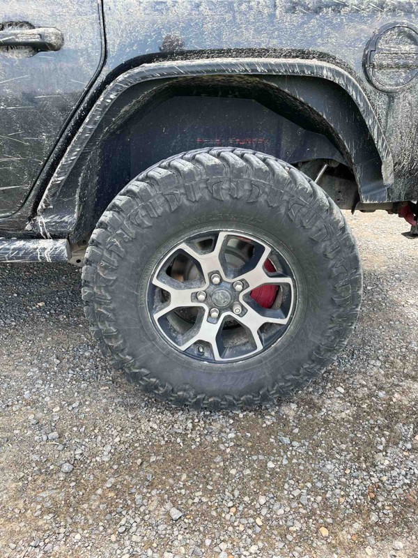
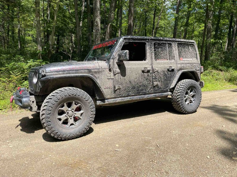
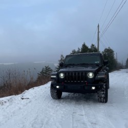
Dry on the run was able to hit 20mph on the first half and 2nd half had more cobblestone rock causing slower speed
Cory Lesher
No Rating
Open
Visited: 07/25/2025
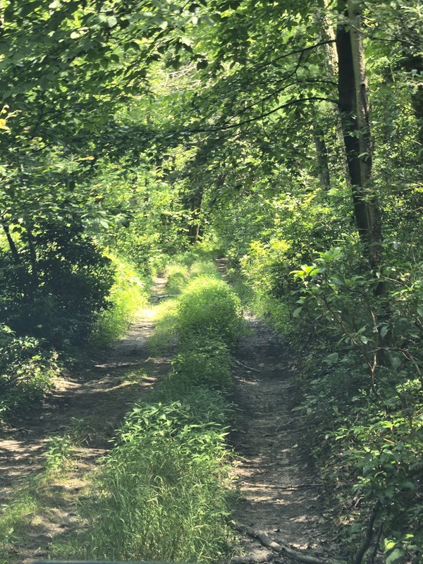
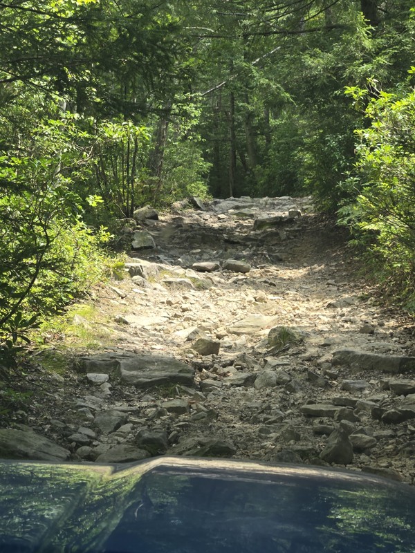
My wife and I enjoyed this trail. I would say that it's very narrow and not a lot of areas for passing. We would rate it 10/10 if was a foot and a half wider. You'll see from the photos It's even h...
JR
Jeff Reitz
Open
Visited: 04/13/2025
Enjoyed Barney Rubble today and earned my first BOH.
The trail is rated appropriately and moves east to hard as you move left to right on three lines.
Moderate boulders, and some medium drop offs, a...
Cory Lesher
No Rating
Open
Visited: 04/06/2025
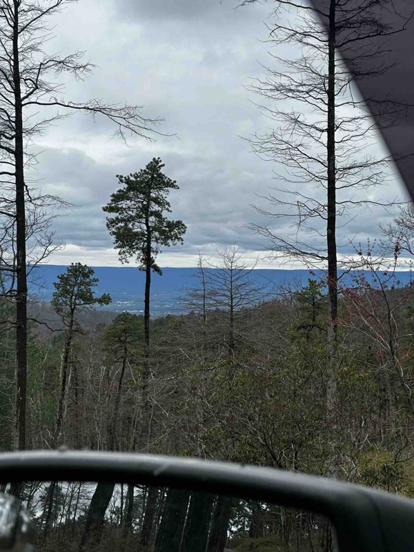
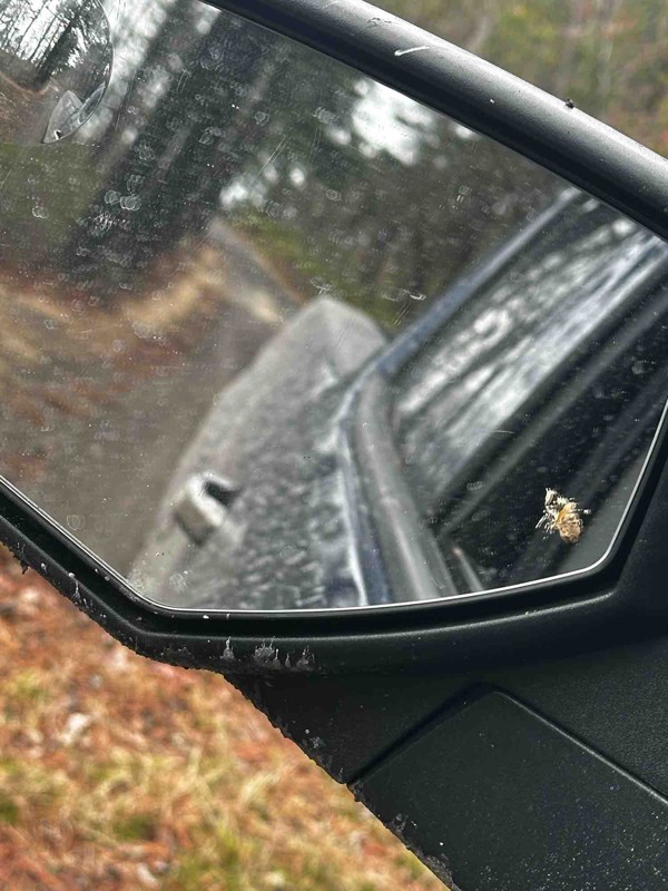
It’s not really much of a trail more of a gravel road. Most everywhere that looks fun is closed off. Gotta get creative.
GH
Greg Hoskins
Rated 5/5
Open
Visited: 03/29/2025
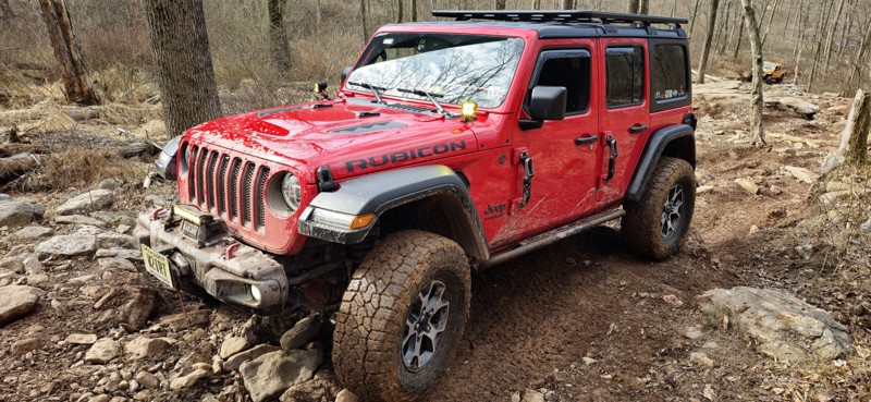
This was one of the most difficult trails I've ever conquered, and it took expert spotting to get my modest Jeep JL on 35s through unscathed, and even then, via the easier lines. Not for beginners, bu...
Peter Dougherty
Rated 4/5
Open
Visited: 03/29/2025
Sadly this is no longer a Jeep Badge of Honor trail; it was de-listed in Jan. 2025. It's a good trail, great for beginners, and was, for years, the gateway for NYC/NJ area Jeepers to enter the BoH pro...
Peter Dougherty
Open
Visited: 03/29/2025
One of my favorite trails in the park and deserving of a Jeep Badge of Honor rating. There are three tracks to reach the top; the left side is very easy, the middle line is for extreme rigs and buggie...
Peter Dougherty
Open
Visited: 10/19/2024
This was one tuff trail with a lot demanding sections. This can be really hard on jeeps with smaller tires or lifts.
Don n Kim
Open
Visited: 09/21/2024
This was everything advertised. A very technical trail.
Don n Kim
Rated 5/5
Open
Visited: 09/13/2024
This was the first trail we ran during our weekend trip to Rausch. It was a fun warmup! The flexy section was interesting, but nothing was overly challenging.

Steve Newcomb
Open
Visited: 09/13/2024
Decent little trail. We took the easier line, but it was still a fun challenge.
Steve Newcomb
Open
Visited: 08/16/2024
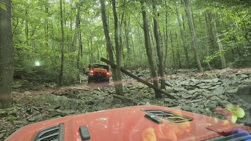
This trail broke me. Not my rig, but it broke my brain. The first time I ran it I tried the "moderate" center line but I ultimately had to bail, taking the left easy line ("Pebbles") up. They rate it...
Peter Dougherty
Open
Visited: 08/14/2024
One of the best "green" trails in the park. It's got a bit of everything, it's tight and demanding in spots, but you'll have a blast on 102. Strongly recommended!
Peter Dougherty
Rated 4/5
Open
Visited: 08/03/2024
This is a fun loop trail with nice views. Suitable for a levels of experience and builds.
Don n Kim
Open
Visited: 08/03/2024
This a tuff little trail a little harder on the short wheelbase vehicles.
Don n Kim
Open
Visited: 07/20/2024
Moderately difficult trail but a good challenge and a lot of fun. Strongly recommended! Trees are extremely tight along this trail so choosing the correct line is an absolute must! Stock rigs should g...
Peter Dougherty
CP
Chris Payne
Open
Visited: 06/29/2024
Great trail. Don’t be afraid to
Steve Hendrick
Rated 5/5
Open
Visited: 06/24/2024
Tough trail. Some of the lines that work are not obvious. Was glad to have LCA skids. Wheeler it with a local group that said it was markedly harder than even a month ago.
JP
Jason Priddle
Rated 3/5
Open
Visited: 08/17/2023
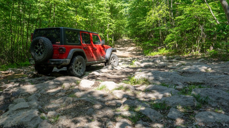
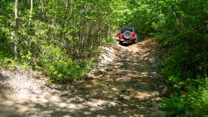
Trail 10 is a good way to travel the length of the eastern reserve if you are looking for some rocks and some views, and want to avoid the fast-paced, dusty traffic on the East Anthracite Road. It's n...

Ryan Boudreau
Official Crew
No Rating
Open
Visited: 07/08/2023
Trail is in great shape. Lots of bikes out there, so pay attention.
B
Bryan
No Rating
Open
Visited: 07/08/2023
Trail is in great shape. Puddles weren't terribly deep or soft, they were easy to get through.
B
Bryan
Rated 3/5
Open
Visited: 05/29/2023
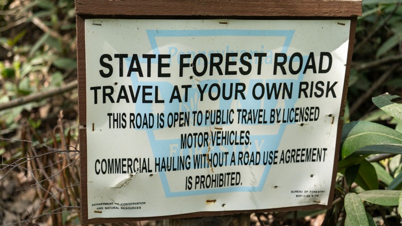
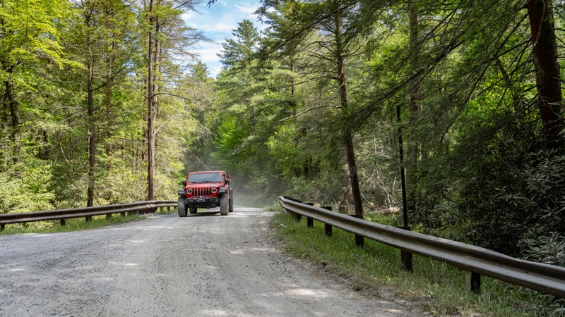
The reservoir has to be the highlight of this road. It's pretty uneventful otherwise. From a map, it looks like it would be a great connector road, but literally every road we could find off of this o...
Ryan Boudreau
Official Crew
Rated 5/5
Open
Visited: 05/28/2023
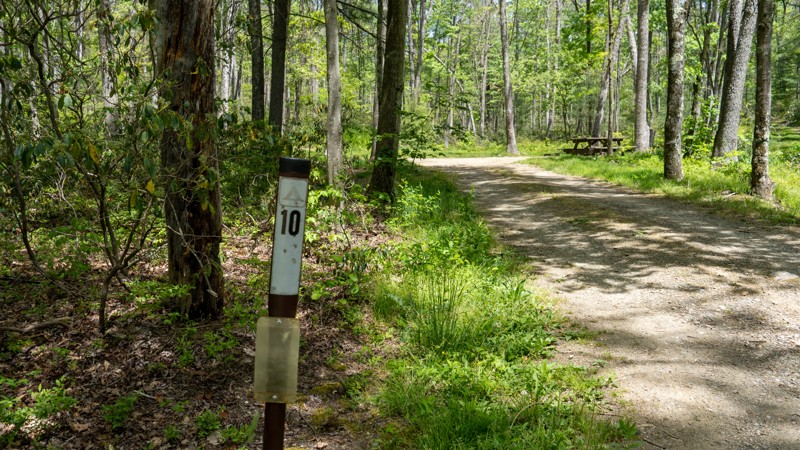
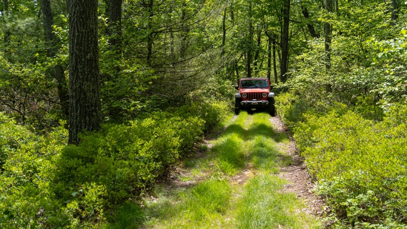
This trail has such a cool feel, like traveling through Jurassic Park. Yea, it's super tight and annoyingly rough, but its a great trail in the middle of the dense forest. No views, but good scenery I...
Ryan Boudreau
Official Crew
Rated 3/5
Open
Visited: 05/28/2023
Not my favorite trail in the area, but not the worst either. It's just rough and narrow through the trees. Definitely wouldn't take a car back here, but anything with good clearance would be just fine...
Ryan Boudreau
Official Crew
Rated 1/5
Open
Visited: 05/28/2023
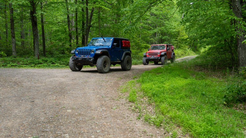
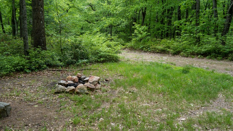
Nothing worth noting along this road. It's just a rough and rocky exit for Wampler. There looks to be one campsite along the road since it is wide, flat and has a fire ring, but the legality of the si...
Ryan Boudreau
Official Crew
Rated 2/5
Open
Visited: 05/28/2023
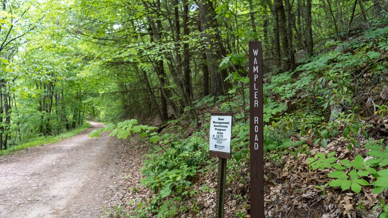
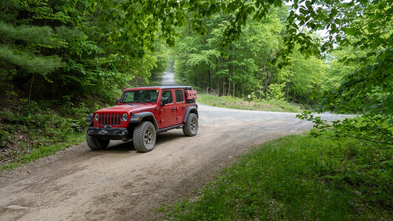
Pretty boring road. Almost any vehicle can get to the overlook. The road is not wide enough to accommodate RVs, or even turn them around, but any standard car can get to the overlook. Past that, there...
Ryan Boudreau
Official Crew
Rated 3/5
Open
Visited: 05/28/2023
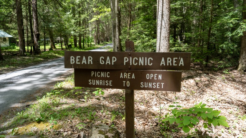
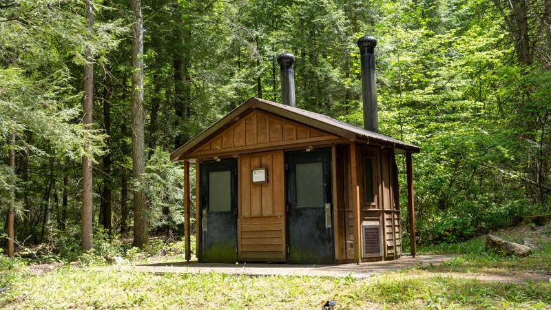
Large and well-maintained picnic area, and the bathroom is a plus. Not much else to say about the road. It's mainly just an access road that is paved along the westernmost mile or two.
Ryan Boudreau
Official Crew
Rated 5/5
Open
Visited: 05/28/2023
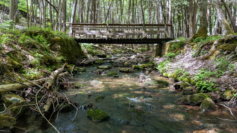
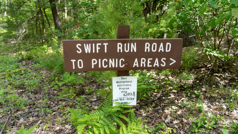
Although this is a super easy road, I found it to be extremely scenic and a wonderful drive through the state forest. The picnic areas are big, quiet, and well taken care of with plenty of things to s...
Ryan Boudreau
Official Crew
Rated 1/5
Open
Visited: 05/27/2023
The active logging has made most of the trail an easy gravel road now, and then beyond that, the trail is really not made for the newer, wider vehicles. You are constantly dragging across trees, and t...
Ryan Boudreau
Official Crew
Rated 3/5
Open
Visited: 05/27/2023
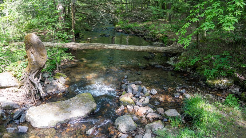
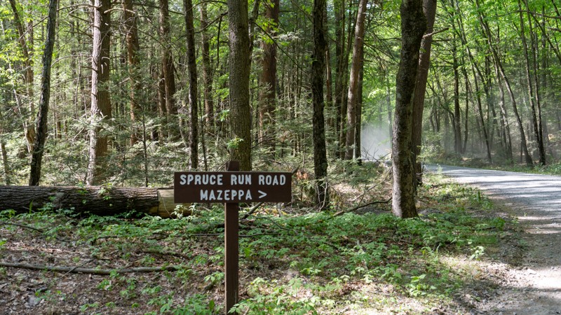
Easy gravel road with a few campsites and nice creek access.
Ryan Boudreau
Official Crew
Rated 1/5
Open
Visited: 05/27/2023
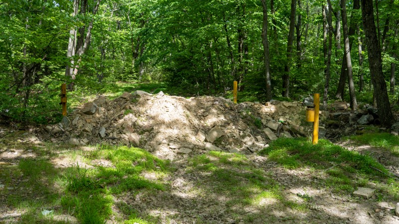
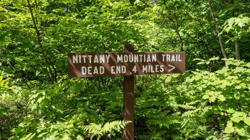
I found this trail to be a terrible experience in fa ullsize vehicle. It's super tight in the tree scratching the paint really bad. It's just rocky enough the entire way to keep you at crawl speeds, a...
Ryan Boudreau
Official Crew
Rated 2/5
Open
Visited: 05/27/2023
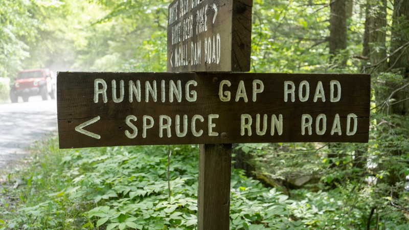
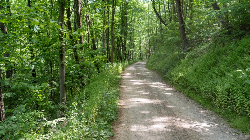
Just a simple connector road with HUGE waterbars!
Ryan Boudreau
Official Crew
Rated 2/5
Open
Visited: 05/27/2023
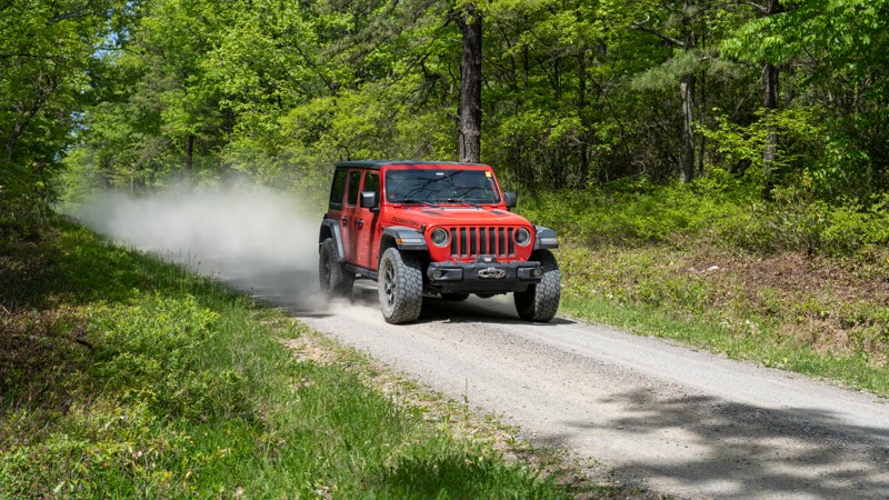
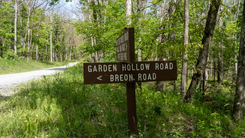
Pretty boring, fast paced road with no views and no real destinations unless you are using it to access Duncan Trail. The campsite along the road is ok, but there are far better sites along White Deer...
Ryan Boudreau
Official Crew
Rated 4/5
Open
Visited: 05/27/2023
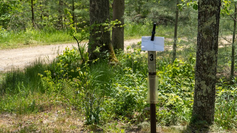
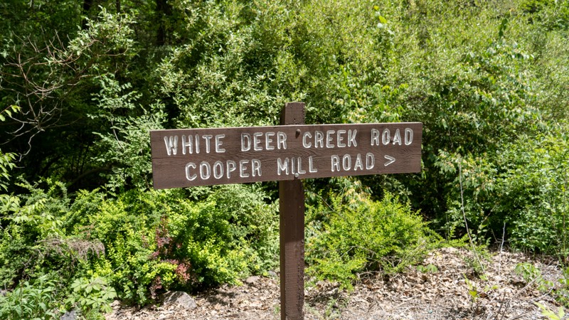
The road itself is nothing special. The creekside views are great, and several areas to stop, hangout, and enjoy the cool waters. Great road if you are looking for camping.
Ryan Boudreau
Official Crew
Rated 5/5
Open
Visited: 05/27/2023
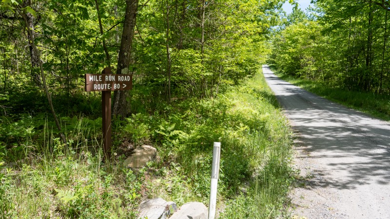
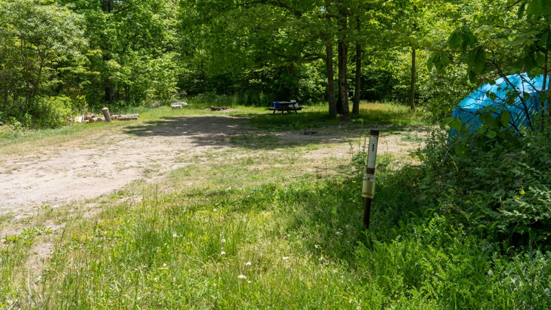
The road itself is nothing special. However, the camping along it is fantastic! Very remote and spread out. Great place if you want to spend the weekend.
Ryan Boudreau
Official Crew
Rated 2/5
Open
Visited: 05/27/2023
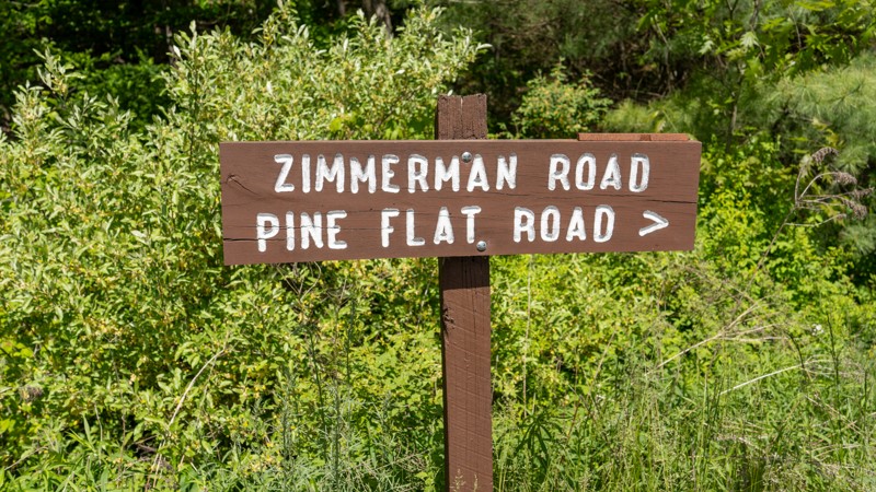
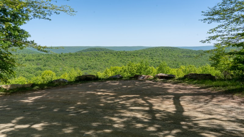
Pretty boring road. Drivable by anything. One scenic lookout and a lot of thin forest areas due to logging activities.
Ryan Boudreau
Official Crew
Rated 1/5
Open
Visited: 05/27/2023
I can see why they consider this a drivable trail, because the state just doesn't want to encourage sedans and trailers to be on this road, but it is a far cry from needing 4wd like signs suggest. It'...
Ryan Boudreau
Official Crew
Rated 4/5
Open
Visited: 05/27/2023
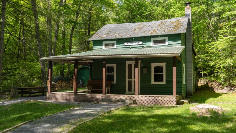
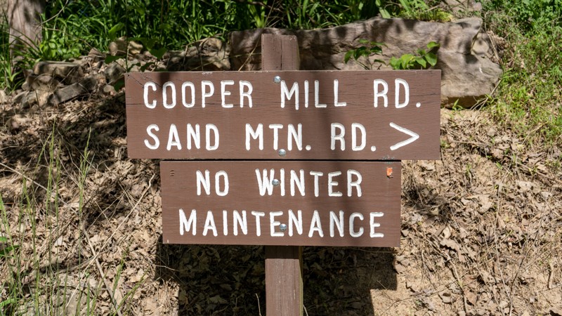
Good road to enjoy the creeks Easy for any vehicle.
Ryan Boudreau
Official Crew
Rated 5/5
Open
Visited: 05/26/2023
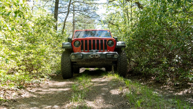
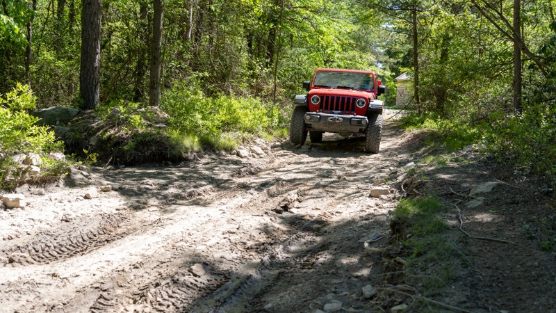
Best trail in BESF. Plenty of obstacles to entertain someone in a Jeep or other capable 4wd. Do you need lockers, giant tires, or body armor? HELL NO! But is it rougher and more fun than the gravel ro...
Ryan Boudreau
Official Crew
Rated 3/5
Open
Visited: 05/26/2023
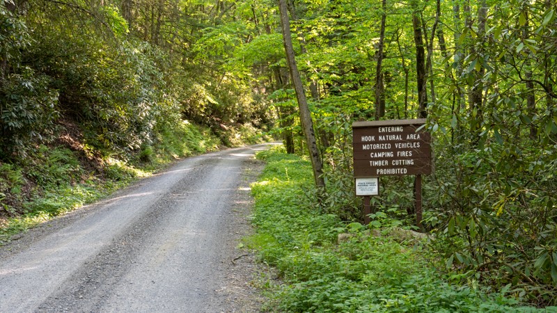
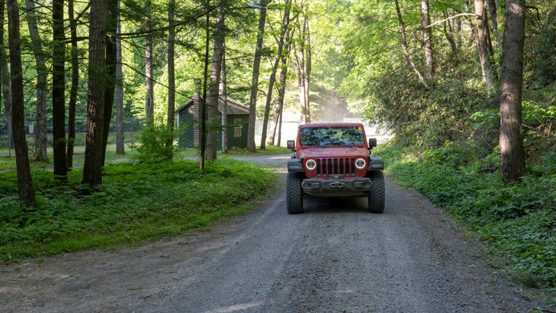
Just a simple connecting road. Not much to see or do along this road except travel to the next one.
Ryan Boudreau
Official Crew
Rated 4/5
Open
Visited: 05/26/2023
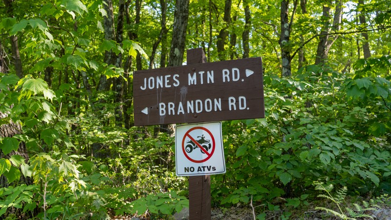
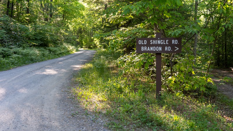
Definitely scenic. Creek is a great place to hang out or cool down in the summer heat.
Ryan Boudreau
Official Crew
Rated 3/5
Open
Visited: 05/26/2023
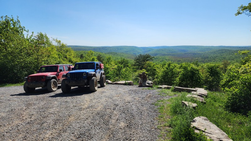
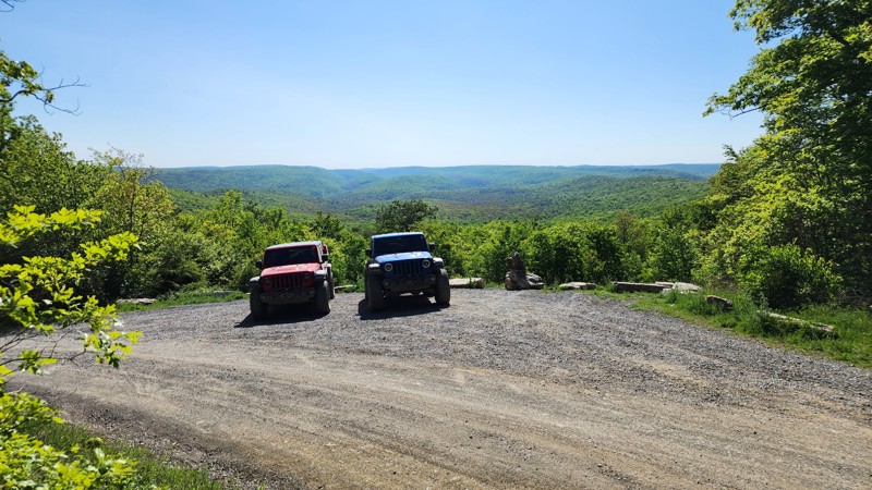
Fast-paced gravel road with a good scenic viewpoint and a campsite.
Ryan Boudreau
Official Crew
Most Popular


Updated: 02/05/2025
Rausch Creek Off Road Park: 11
Open
/
Pine Grove, Pennsylvania/
3.11 miles/
About 2 hours
No matter how big and bad your vehicle is or how simply stock it is, Trail 11 in Rausch Creek Off Road Park is a must-do trail. You will meander around a glacial depression chock full of trees, and plenty of small obstacles and terrain features will keep you interested in the road while taking in the sights of the surrounding woodlands. This trail is suitable for any beginner. After checking this one off the list, be sure to check out the remaining 3,000 acres and over 80 miles of trails for almost every type of 4WD vehicle, from stock to pro rock buggies.

Updated: 09/05/2023
Barney Rubble - Anthracite Outdoor Adventure Area
Open
/
Shamokin, Pennsylvania/
0.16 miles/
About 40 minutes
Named after the iconic cartoon character from the Flinstones, Barney Rubble is a technical trail located within Anthracite Outdoor Adventure Area (AOAA). This trail requires precise vehicle control as you surgically maneuver through a vast expanse of tombstone-sized boulders. As a newly recognized Jeep Badge of Honor trail, this epic trail is a rock crawler's fantasy that will keep the adrenaline pumping through your veins for hours. Whether you come for the badge, the challenge, or the adventure, be sure to explore as many trails as you can within this 8,000 acres off-road park.

Updated: 07/20/2026
Fern Ridge - Anthracite Outdoor Adventure Area
Open
/
Shamokin, Pennsylvania/
1.15 miles/
About an hour
Located within the 8,000-acre Anthracite Outdoor Adventure Area (AOAA), Fern Ridge is a progressively technical trail that grasps every moment of your attention and endlessly temps you with something more challenging around every bend. With multiple exit points, Fern Ridge almost seems to tease you and leave you wondering if the next stretch will be too much for your vehicle. Come test your skills along this Jeep Badge of Honor trail and attempt the handful of optional hardcore loops it offers.

Updated: 07/20/2024
Rausch Creek Off Road Park: Crawl Daddy
Open
/
Pine Grove, Pennsylvania/
0.26 miles/
About 2 hours
This famous Jeep Badge Of Honor Trail is named after the notorious obstacle "Crawl Daddy." The purists and old-timers who have visited Rausch Creek Off Road Park for years will say, "You haven't done Crawl Daddy if you take the bypass." Either way, if you take the bypass or conquer it, the entire trail will pump your blood and challenge your rig and mind as you figure out tire placement and throttle control on this rock-crawling trail. Don't limit yourself to these trails because the Park consists of 3,000 acres with over 80 miles of trails for almost every type of 4WD vehicle, from stock to pro rock buggies.

Updated: 10/28/2022
Rausch Creek Off Road Park: Crawler Ridge
Open
/
Pine Grove, Pennsylvania/
0.1 miles/
About 30 minutes
Crawler Ridge is the shortest of the three Jeep Bage of Honor Trails within Rausch Creek Off Road Park, but you could spend all day trying several different rock crawling lines from difficult to extreme. It is rich in driver choice options that will test your vehicle and your mental ability to treat rock crawling like a chess match as you pick and choose where your tires are going! Don't limit yourself to this trail because the Park consists of 3,000 acres with over 80 miles of trails for almost every type of 4WD vehicle, from stock to pro rock buggies.

Updated: 10/18/2022
Poe Paddy Drive
Open
/
Coburn, Pennsylvania/
4.83 miles/
About an hour
Poe Paddy Drive offers the best views in the Bald Eagle State Forest with two viewing area pull-outs directly on the trail. Bald Eagle State Forest is named after the Native American Chief Bald Eagle and stretches across 194,602 acres of ridges, mountain streams, and tracts of old-growth forest. Visiting the forest in September and October can be a real treat, with vibrant, changing leaves surrounding you on every road. Bald Eagle State Forest is worth spending an entire weekend or more and is well suited for families and groups with multiple state-managed campgrounds in the immediate area.

Updated: 10/21/2022
Coal Knob
Sheffield, Pennsylvania
Situated just south of the Allegheny Reservoir, Coal Knob is just one of many recreation-friendly roads in the 514,029 acres of public land that make up the Allegheny National Forest. This area has multi-use motorized roads, hiking trails, and designated camping. For those who enjoy multiple motorized platforms, the Allegheny National Forest boasts 76 miles of interconnecting OHV-specific trails. Like much of the eastern United States, visiting in September and October is a real treat, with leaves changing to vibrant yellow, orange, and red. With various sizes of designated campsites that are plentiful and easily accessible, Coal Knob is an excellent option for solo travel and families alike, .

Updated: 10/21/2022
Red Mill Run
Open
/
Kane, Pennsylvania/
6.43 miles/
About 30 minutes
Situated at the southern end of the Allegheny National Forest, Red Mill Run is just a few miles north of Ridgway, giving you easy access to 514,029 acres of public land in northern Pennsylvania. The Allegheny National Forest is filled with multi-use motorized roads, hiking trails, and improved campgrounds. It even encompasses the Allegheny Reservoir for outdoor enthusiasts looking for water time. For those who enjoy multiple motorized platforms, the Allegheny National Forest boasts 76 miles of interconnecting OHV specific trails. Like much of the eastern United States, visiting in September and October is a real treat, with leaves changing to vibrant yellow, orange, and red. Red Mill Run and the Allegheny National Forest have plentiful dispersed, designated, and improved camping for solo travelers and families.

Updated: 10/17/2022
Strong Mountain Road
Coburn, Pennsylvania
Strong Mountain Road runs through the Bald Eagle State Forest, named after the Native American Chief Bald Eagle. Bald Eagle State Forest stretches across 194,602 acres featuring ridges, mountain streams, and tracts of old-growth forest. Visiting the forest in September and October is a real treat, with vibrant, changing leaves surrounding you on every road. Bald Eagle State Forest is worth spending an entire weekend or more and is well suited for families and groups with multiple state-managed campgrounds in the immediate area.

Updated: 10/23/2023
Sharpback Hollow
Hartleton, Pennsylvania
Located within the Bald Eagle State Forest, not far from the icon town of Woodward, Sharpback Hollow is one of the few drivable trails within the state forest where you will need a true 4WD vehicle. Deep ruts, sharp rocks, and murky mudholes lie in wait beneath the shadows of the leafy canopy. If you hope to leave the gravel roads behind, the relentless barrage of varying terrain along this trail makes it enjoyable for anyone seeking a challenge.

Updated: 10/18/2022
Little Poe Road
Coburn, Pennsylvania
Little Poe Road is one of the trails in the Bald Eagle State Forest, named after the Native American Chief Bald Eagle, and stretches across 194,602 acres of ridges, mountain streams, and tracts of old-growth forest. Visiting the forest in September and October can be a real treat, with vibrant, changing leaves surrounding you on every road. Bald Eagle State Forest is worth spending an entire weekend or more and is well suited for families and groups with multiple state-managed campgrounds in the immediate area.

Updated: 10/23/2023
Duncan Trail
Eastville, Pennsylvania
Located in the Bald Eagle State Forest, just south of Interstate 80, Duncan Trail is a rugged and tight drive following the southern contours of Nittany Mountain. The overgrown foliage along this trail will leave you feeling accomplished, as if you were the first person in ages to bushwhack your way from point to point. The dense tree cover cleverly tries to portray this short trail as secluded and alone, but users can rest easy knowing you are only a stone's throw from the highway.

Updated: 04/08/2025
Milesburn Road
Cleversburg, Pennsylvania
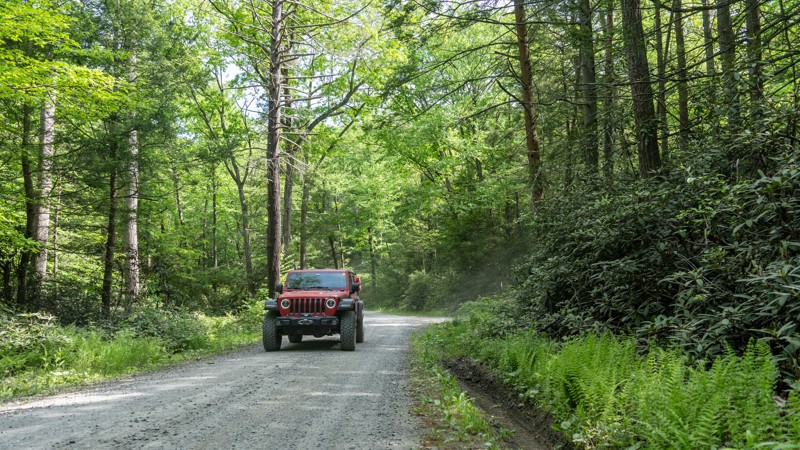
Milesburn Road is an easy, dirt alternative between the towns of Shippensburg and Fayetteville, traveling through the Michaux State Forest. The road is 1.5-2 vehicles wide as it snakes its way through old-growth forests, offering scenic wood views. There are tons of hiking opportunities off this road and plenty of fishing at Long Pine Run Reservoir. There is one State Forest campsite along the route, campsite number 11. This is a hike-in site where you must park at the road and hike your gear to the campsite. Formal campgrounds can be found at the nearby Caledonia State Park. This road is suitable for any vehicle.
Updated: 10/15/2024
Salmon Creek Road
Marienville, Pennsylvania
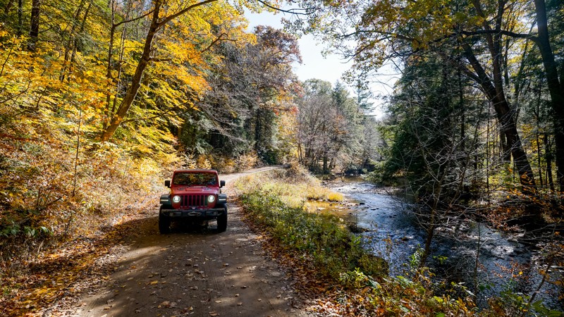
The value of this trail is in the final 1.25 miles, which has roughly 7 designated campsites. The road is overall graded and well-maintained because of the abundance of oil and gas activity. The first almost 6 miles don't provide any camping or obstacles. You'll arrive at the first designated campsite, # 14, when you notice a turn-out and the brown numbered ground stake.
All of the campsites are walk-in. There is usually room to park 1-2 vehicles just off the road, and then the site is a short walk away. The best campsite is easily # 13, which is spacious with a great view of Salmon Creek. Again, it's a walk-in, so no vehicle camping.
The road ends at a gate, roughly at campsite 8. Unfortunately, this prevents vehicles from finishing the route and connecting with Branch Ridge Road. The gate was placed in 2019 to close a section of Salmon Creek Road due to drainage issues and road damage. There is no estimated timeline for when repairs will be coordinated.
Updated: 08/11/2025
Henstep 4x4 Drivable Trail
Weikert, Pennsylvania
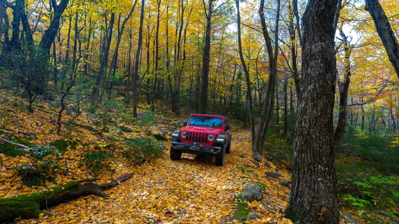
Henstep 4x4 Drivable Trail is one of the few trails in the Bald Eagle State Forest that specifically has 4x4 in the designation. This trail will absolutely cause pinstriping and is not recommended by full-size vehicles due to the width of certain areas and the vegetation's proximity to the trail. The difficulty rating for this route is due to the multiple soft-bottom mud pits that get significantly deeper seasonally and the rocky climbs. Pay attention to the exposed edges of the mud pits. Depth fluctuations range from a couple of inches to 16 plus.
Updated: 09/10/2026
102 Green - Anthracite Outdoor Adventure Area
Gowen City, Pennsylvania
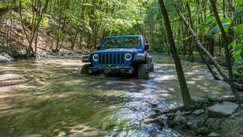
At nearly 6 miles long and spanning almost the entire length of the Western Reserve, Trail 102 Green is the longest continuous trail within Anthracite Outdoor Adventure Area (AOAA). This is a straight-through trail used as one of the main travel veins through the reserve and is the main entry and exit point for the Fern Ridge Badge of Honor Trail. Trail 102 Green starts relatively easy and wide as it crisscrosses multiple times with its sister trail, 102 Blue. After crossing several mud holes, the two trails become one again as the trail chokes down to a single vehicle wide in width. The trail snakes its way through the tight and thick forest, traversing countless rock gardens of varying sizes and shapes, from footballs and grapefruits to tombstones. Eventually, the trail widens a bit and comes to an excellent lookout at Glacier Rocks, where you can experience truly unique rock features not seen anywhere else in the park. The trail continues its trek west, weaving through tight trees and traversing the rough terrain.
Because trail 102 Green parallels Fern Ridge and is significantly easier, park staff recommends 102 as an alternative badge trail for those with vehicles incapable of tackling Fern Ridge. Trail 102 Green is suitable for stock high clearance 4x4s, but is not recommended for groups, long-wheelbase vehicles such as pickups, or extremely wide vehicles. Due to the rocky terrain, airing down is highly recommended.
Be sure to reference the AOAA website for accommodation links, days and hours of operation, waiver, and pass purchasing links.

Updated: 10/23/2023
Red Tongue Trail
Eastville, Pennsylvania
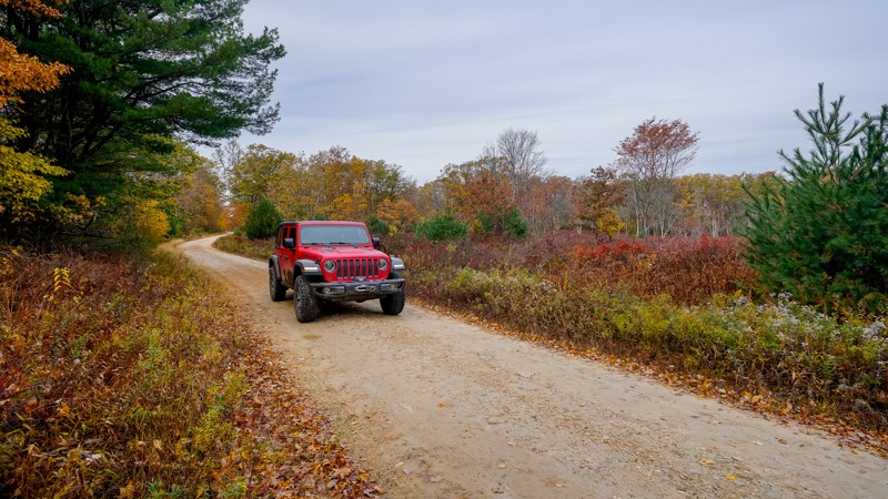
Originally a log tram route, Red Tongue Trail is a narrow, bumpy two-track that cuts through thick and lush foliage, tip-toeing the border between Bald Eagle State Forest and Tiadaghton State Forest. Located a short distance from Milton, just north of I-80, Red Tongue Trail is a great alternative to the gravel roads nearby, providing plenty of solitude and adventure.
Updated: 10/15/2024
Three Runs Tower Road
Pottersdale, Pennsylvania
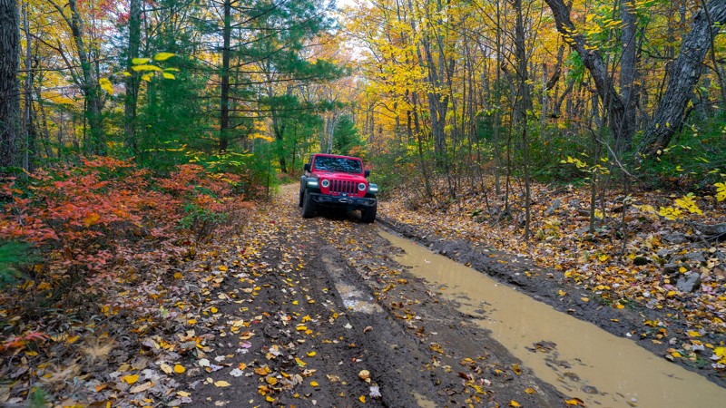
Three Runs Tower Road runs from within the Quehanna Wild Area south through Moshannon State Forest before ending just off Jim L Road. About a mile from the northern trailhead, you'll find the site of a historic old fire lookout. Currently, only the stone foundation and rubble remain. The Quehanna Trail also intersects there. The Moderate rating for this route is due to the three mud holes located at the southernmost end of the trail, the largest is pictured, and none of them has a bypass. This trail was stunning in the autumn with the vibrant reds from the lower shrubs. There is no camping available along this route.
Updated: 08/18/2025
Longwell Draft Road
Ingleby, Pennsylvania
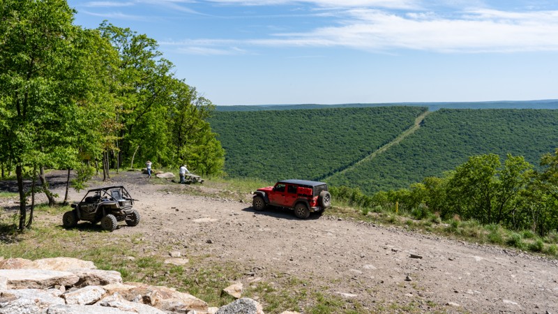
Longwell Draft Road gets its Moderate rating for the mud! This stretch of trail has at least six seasonal mudholes that vary in depth depending on the season and recent precipitation. This route tends to hold onto moisture, and where there isn't mud, the surface leans toward the cobblestone texture found on other trails in the area. 4WD and airing down would be wise. Longwell Draft is a connector running from Strong Mountain Road to Hoofnagle Road.
Updated: 09/10/2026
12 - Anthracite Outdoor Adventure Area
Gowen City, Pennsylvania
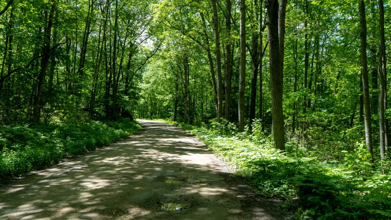
Trail 12 is a knife-shaped loop trail on the southeastern edge of the Eastern Reserve of Anthracite Outdoor Adventure Area (AOAA). The trail starts easy, making its way up and down rolling hills like a rollercoaster ride, traversing across a hard-packed, two-vehicle wide road as you pass by Polaris Rock. The trail narrows to a single vehicle wide, becomes a bit rougher, and continues to an amazing viewpoint at the Vista View South Picnic Area, dedicated to Kathy Jeremiah. The loop portion begins just beyond the picnic area, where the road becomes extremely rough and slow going due to the many exposed football-sized rocks. The northern half of the loop through Timber Town is lined with extremely dense, tight trees making the trail not suitable for extra wide vehicles or long-wheelbase vehicles such as pickup trucks. Overall, this is a rough and rocky trail still suitable for any short wheelbase, high clearance 4x4.
Be sure to reference the AOAA website for accommodation links, days and hours of operation, waiver, and pass purchasing links.
Updated: 09/09/2026
Hook Run
Scandia, Pennsylvania
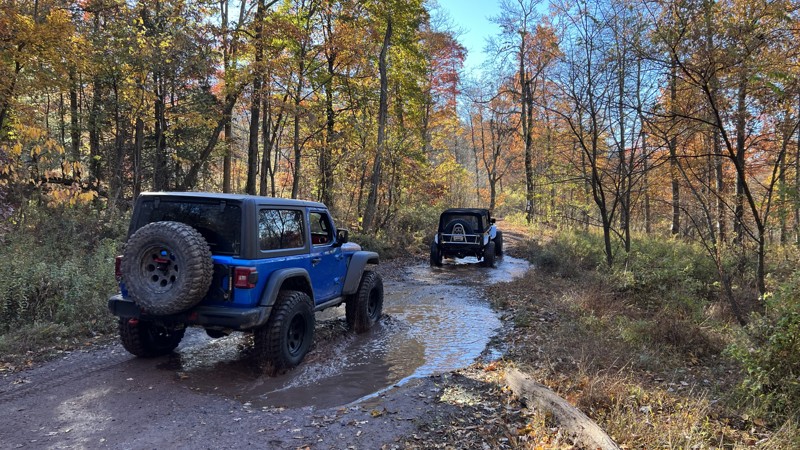
Hook Run is mostly crushed gravel and hard-packed dirt road that any vehicle could drive. Towards the western end, there are a few short sections of potholes. Camping is abundant on the eastern end, with a few locations further off the road than others. Additionally, these numbered sites vary in size and tree cover.
Updated: 09/10/2026
Rausch Creek Off Road Park: Trail H
Joliett, Pennsylvania
Trail H at Rausch Creek primarily serves as an access road to the western loop of the park. While it's mostly easy, you will encounter a few rocks along the way. This trail is rather steep and will be a good test for beginners to use their transfer case to descend and not solely rely on the brakes. The real allure of this trail is the stunning views as you descend to the western loop, especially when the foliage colors change in the autumn months. Take this trail to access Trail 11, a Jeep Badge of Honor trail.
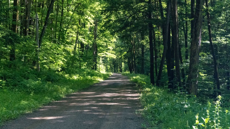
As with the rest of the trails at Rausch Creek, primitive camping can be found (with advanced notice) in their main parking lot.
Updated: 10/15/2024
Fire Road 137
University of Pittsburgh Bradford, Pennsylvania
Fire Road 137 is a narrow but mellow road with patches of potholes running through the Allegheny National Forest. Along the way, you will pass several small designated dispersed campsites, with one sitting next to a babbling brook. A numbered white triangle marks all of the campsites. Logging and oil and gas activity can be seen from the road.

Updated: 10/23/2023
High Top Trail
Beaver Springs, Pennsylvania
South of the Snyder-Middleswarth State Forest Picnic Area, branching off from Swift Run Road, High Top Trail is a short, narrow trail that will forever leave its mark etched into the surface of your once pristine paint job. The relentless assault of branches and twigs will create an unsettling symphony of abrasion as you navigate through a dense thicket of tightly packed brush and sun-blocking trees. If you ever wanted to experience the sense of true bush-whacking, this might be the trail for you.

Upgrade your Membership
Unlock all of the details on every Trail Guide and Scout Route.
Start a 7-day Free TrialCommunity
Partners

