Region

Tillamook State Forest Off-Road Trails

Oregon

Offroad Trails in Tillamook State Forest Off-Road Trails

A Region within Oregon
4.3/5 (138)

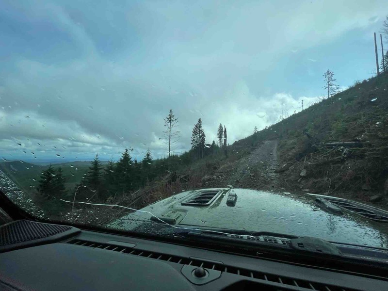
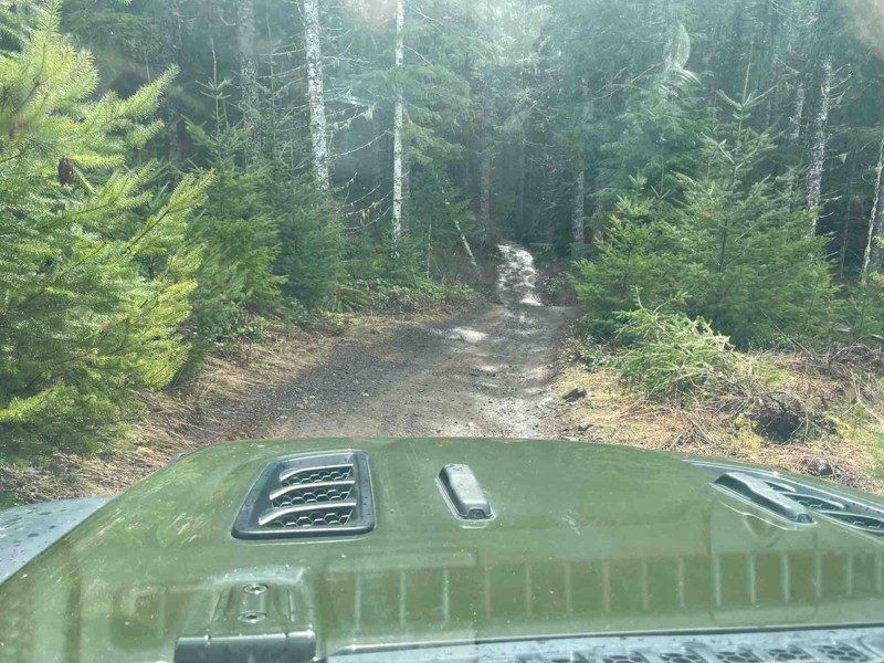
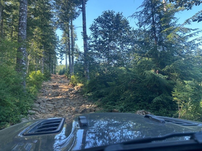
Deep in Oregon's Coast Range, Tillamook State Forest is one of the Pacific Northwest's premier destinations for off-road driving. Dense Douglas-fir forests, moss-covered trees, steep ridges, muddy climbs, rock gardens, and an extensive network of forest roads give the area a character unlike the wide-open terrain found across much of the West.

The Browns Camp and Jordan Creek areas are at the center of Tillamook's four-wheel-drive trail system. Together with Diamond Mill, they provide more than 250 miles of designated OHV trails ranging from easy forest roads to extreme technical terrain. Browns Camp is especially popular with four-wheel-drive enthusiasts and provides direct access to a large interconnected network of trails.

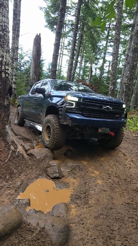
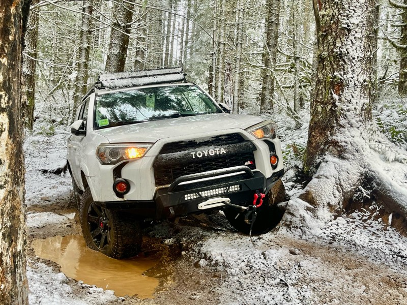
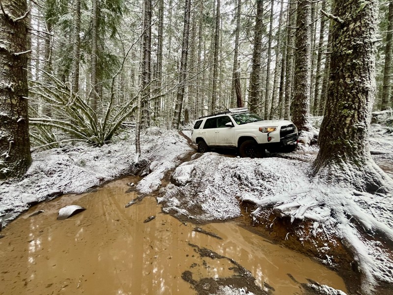
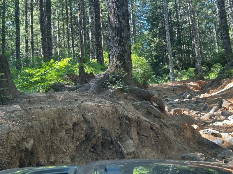
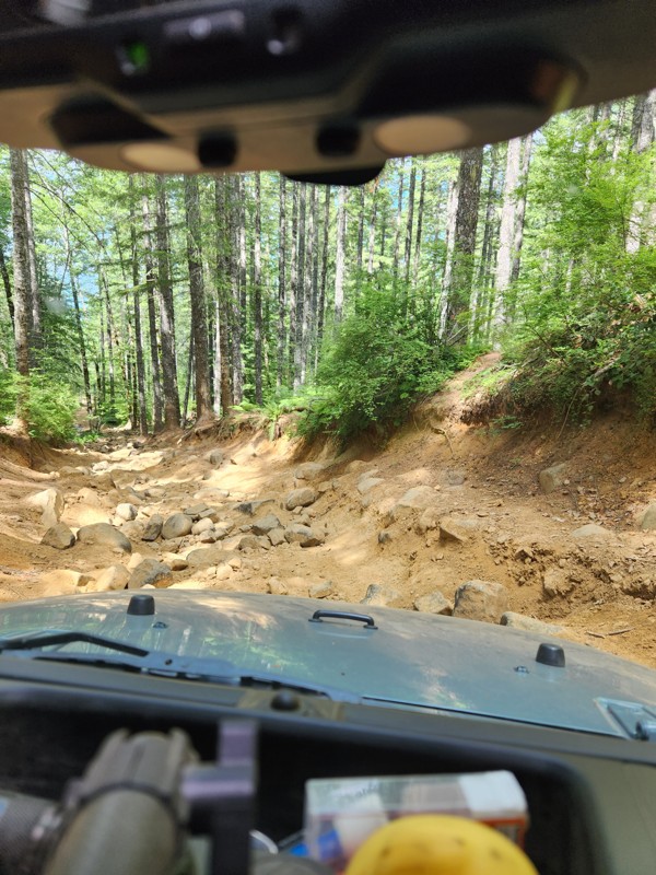
Conditions are a major part of the Tillamook experience. A trail that is manageable during a dry summer afternoon can become considerably more difficult after days of Oregon rain. Mud, deep ruts, slick roots, wet rock, standing water, and steep forested hillsides frequently make traction the deciding factor. The Trails Offroad guides for the area reflect that variety, from relatively mild sections of Archers Firebreak to trails where lockers, larger tires, careful spotting, and recovery equipment become increasingly important.

Five Tillamook Trails to Put on Your List

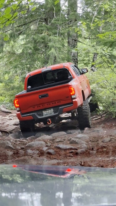
Firebreak Five is arguably Tillamook's best-known 4x4 trail and one of Oregon's Jeep Badge of Honor trails. Its rock gardens and changing conditions can turn a reasonable summer challenge into a serious wet-weather obstacle.

Cedar Tree is another Jeep Badge of Honor trail and one of the forest's signature drives. Its namesake is a massive fallen cedar that became an iconic photo stop, while water holes, forest obstacles, and tight terrain add to the experience.

7 Up offers two very different personalities. The Easy Way provides a challenging forest drive suitable for many capable 4x4s, while the infamous Hard Way is serious buggy territory where broken driveline components and rollovers are not unheard of.

Can Opener attracts built rigs to its gatekeeper boulders, steep climb, and namesake rock obstacle. It is as much a place to watch serious rock crawling as it is a trail to drive.

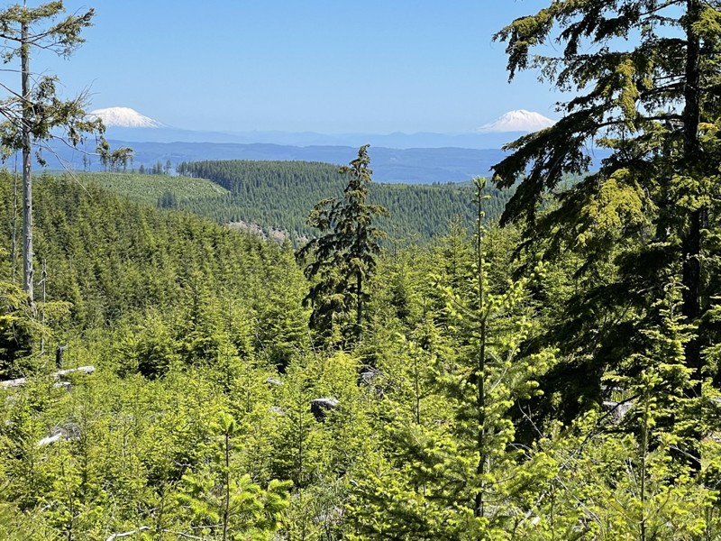
Archers Firebreak is a collection of interconnected trails along Archers Ridge, combining easier 4x4 travel with mud, ruts, forest driving, and impressive views across the Jordan Creek drainage.

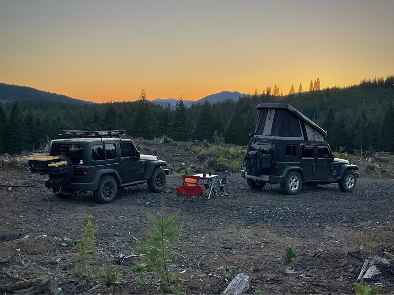
Camping makes Tillamook particularly well-suited to a weekend trip. Browns Camp offers OHV-focused camping with direct trail access, while dispersed and designated camping opportunities are also available throughout the forest. Check current trail, fire, and seasonal restrictions before heading out.

Top Reasons to Explore Here

Altitude Category IconAltitude
Beginner Category IconBeginner
Camping Category IconCamping
Forest Category IconForest
Iconic Category IconIconic
Mud Category IconMud
Overland Category IconOverland
Rock Category IconRock
Scenic Category IconScenic
Snow Wheeling Category IconSnow Wheeling
Water Category IconWater
Basemap Styles

Content Type
Guide Types
Scout Route
Full Trail Guide

Difficulty Rating
easy
moderate
difficult
severe
extreme

Waypoints
Camping
Staging Area
Bathroom
Obstacle
Point of Interest
Directional

Most Recent Trail Reviews

Most Popular

Search for Trails
Oregon: Cedar Tree Hero Photo
All-Access Preview Icon
4.6/5 (51 reviews)
Updated: 02/05/2025

Cedar Tree

Open
/
Banks, Oregon/
4.21 miles/
About an hour

Cedar Tree is an aptly named trail deep in the Tillamook State Forest, where the highlight is a huge fallen cedar trunk that vehicles used to be able to drive under. The iconic fallen cedar tree at Waypoint 7 is a favorite place for photographs of 4x4 rigs. The trail wanders through the forest's prettiest and most exciting sections along the cedar tree. A significant, deep depression is often filled with water and makes for an exciting challenge to cross. An ancient tree stump hides a shelf that can catch the unsuspecting driver by surprise. Cedar Tree is one of the highlights of Tillamook State Forest and should be one of your must-do trails while visiting the park. 

Oregon: Firebreak Five Hero Photo
All-Access Preview Icon
4.8/5 (21 reviews)
Updated: 02/05/2025

Firebreak Five

Open
/
Banks, Oregon/
2.3 miles/
About 2 hours

Firebreak Five is a trail that can go from mild to wild depending on conditions. In dry summer weather, most vehicles can navigate the entire trail by taking the easiest lines and combining good spotting and good driving. In the soggy winter months, certain sections of the trail, such as Waypoint 4, can become incredibly difficult or even impassable for all but trucks rolling on sticky tires, with front and rear lockers, or with little regard for possible drive-train damage. The changing conditions and challenges that voyagers along Firebreak Five face are all part of the adventure. Firebreak Five also has the distinction of being a "Jeep Badge of Honor." For those looking for a big challenge, there is an optional rock garden, and there are very difficult lines to take on the obstacles that will challenge even the most built rigs.

Oregon: Ginsberg Point Trail Hero Photo
All-Access Icon
5/5 (6 reviews)
Updated: 05/28/2023

Ginsberg Point Trail

Tillamook, Oregon
The Ginsberg Point Trail is one of only a handful of 4x4 trails in the Trask OHV region of western Tillamook State Forest. Designated as an intermediate trail and comprised of several sections - this is the longest 4x4 trail in the Trask OHV. Although not the most technical of trails, the Ginsberg will provide enough variety of hills, mud, rocks and tree stumps to challenge even the more experienced drivers. As a bonus, there are stunning views of the beautiful forest and surrounding valleys along the way.

Oregon: Bates Road / Tillamook State Forest Hero Photo
All-Access Icon
5/5 (11 reviews)
Updated: 06/05/2022

Bates Road / Tillamook State Forest

Banks, Oregon
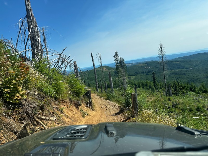
Bates Road packs in amazing views of the Oregon Coast Range, a knife-edge ridge to drive along, fun and challenging trails, and the small but real chance of serious vehicle damage. The ridge narrows down to a knife edge in several points with the road running right at the crest. Those who take their eyes off the road are rewarded with views to the north and east across the patchwork of clearcuts and timber. Deep dug out sections of trail make for moments of slipping, moments of unexpected gripping, and occasional heart-pumping moments of a barely controlled descent down steep slopes. This is not a trail that Trails Offroad suggests as a first time 4x4 driving experience for beginners. This is a trail that Trails Offroad recommends for adventure and challenge.
Oregon: Hoodraiser / Tillamook State Forest Hero Photo
All-Access Icon
4.3/5 (22 reviews)
Updated: 06/09/2023

Hoodraiser / Tillamook State Forest

Banks, Oregon
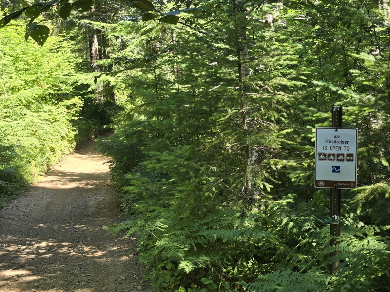
Hoodraiser is a fun romp through the Tillamook State Forest that is perfect for beginner 4x4ers to get a taste of the adventures that await in the Oregon Coast Range. The trail starts near the South Fork of the Wilson River and heads south and west through the forest toward the top of the ridge. The many water bars cut into the trail give Hoodraiser its name. Going up and over the water bars obscures the view of the trail because the hood of the vehicle is pitched up into the air -- hence the name Hoodraiser. Several narrow sections (wide enough for full size vehicles) are a fun challenge for drivers learning the dimensions of their vehicles. A few small mud puddles after rains make for a good place to take videos of overlanders driving through the forest.
Oregon: University Firepower Part 2 / Tillamook State Forest Hero Photo
All-Access Icon
4.9/5 (22 reviews)
Updated: 07/15/2023

University Firepower Part 2 / Tillamook State Forest

Banks, Oregon
University Firepower Part 2 may start out as an easy gravel road but it packs in a few surprises along the way. There are tight, twisty sections in dense forest where it is easy to become disoriented. Never fear though because all dirt paths lead to the end of the trail. Halfway through the trail, explorers are presented with a choice: the high road scrambles up the hill while the low road scuttles around the side. Choose your way wisely based on your vehicle's abilities and the trail conditions because the high road can be unforgiving if a mistake is made. The trail ends near where Cedar Tree trail begins which is an excellent place to head next after finishing University Firepower Part 2.
Oregon: The Jeep Trail Hero Photo
All-Access Icon
5/5 (7 reviews)
Updated: 06/10/2023

The Jeep Trail

Tillamook, Oregon
The Jeep Trail is one of only a handful of 4x4 trails in the Trask OHV region of western Tillamook State Forest. This is a purely scenic trail, offering the explorer a narrow, but enjoyable route among huge ferns, moss-covered trees, and stunning views.
Oregon: Saddle Up Part One  / Tillamook State Forest Hero Photo
All-Access Icon
5/5 (11 reviews)
Updated: 06/05/2022

Saddle Up Part One / Tillamook State Forest

Banks, Oregon
Saddle Up Part One is one of the few trails in the Tillamook State Forest with a shelf-style road where there is big exposure if a driving mistake is made. There is nowhere to turn around once committed to the trail and only one or two places where one or at most two vehicles can get off the road to let others pass. Limited sight lines make for an exciting time wondering what or who is around the next bend. An optional obstacle makes for an interesting puzzle to tackle. The views on a clear day from the section of trail around Waypoint 2 make it all worthwhile though. Expansive panoramas to the south provide a stunning setting to take photos of vehicles seemingly perched on the edge of a cliff. On stormy days, near white-out conditions can frequently occur where visibility is no more than 100 feet at times. Even on bad weather days, Saddle Up Part One is still a worthwhile trail for adventurous explorers in the Tillamook State Forest.
Oregon: Beaverdam Road Hero Photo
Scout Route Icon
5/5 (3 reviews)
Updated: 10/15/2024

Beaverdam Road

Glenwood, Oregon
Beaverdam Road is a forest service road located in the Tillamook State Forest. This is a major access road with access to many 4x4 Jeep trails including: "University Firepower", "Cedar Tree" and "Firebreak Five". There is a detour where you turn off onto "University Falls Road" for about a half mile due to bridge work. There are many side roads with dispersed camping spots and really awesome views of the surrounding hills. There is a campground called "Browns Camp ORV Campground." This is also a staging area for parking tow rigs and trailers. This campground is designated only for OHV camping.
Oregon: Can Opener #28B /  Tillamook State Forest Hero Photo
All-Access Icon
4/5 (10 reviews)
Updated: 06/05/2022

Can Opener #28B / Tillamook State Forest

Tillamook, Oregon
The challenging obstacle at the end of Can Opener gives the trail its name and makes this a fun trail for rock crawlers. After crossing a gatekeeper boulder field, the trail heads up a steep hill to a boulder pile at the top of the hill. Many big, built rigs spend hours playing around on the boulders and trying the more challenging lines through the obstacle. The shaded forest setting and ample parking make this a great spot to spend a little time watching 4x4s crawl through the forest.
Oregon: Firebreak One / Tillamook State Forest Hero Photo
All-Access Icon
3.3/5 (15 reviews)
Updated: 06/05/2022

Firebreak One / Tillamook State Forest

Banks, Oregon
Firebreak One is a great introduction to the Tillamook State Forest and the Brown's Camp Area. As soon as the trail plunges into the moss-covered, dripping wet forest of the Oregon Coast Range, the adventure begins. The trail winds through second growth timber on the way to the top of the ridge where it suddenly bursts through the trees into a vast clear-cut with sweeping views to the west. The trail turns into a gravel road on top of the ridge and continues through a mix of second and third growth forest, and clear-cuts on its way down to one of the main roads through the forest.
Oregon: 7 Up (Easy Way)  / Tillamook State Forest Hero Photo
All-Access Icon
4.3/5 (11 reviews)
Updated: 06/05/2022

7 Up (Easy Way) / Tillamook State Forest

Banks, Oregon
The 7 Up (Easy Way) trail is a challenging but manageable adventure through the forest to the top of the hill where the iconic 7 Up (Hard Way) trail connects. There are three legs to 7 Up which include two legs that are passable by normal 4x4s (detailed in this trail description) and one leg that is a challenge for even the most built buggies (detailed as the 7 Up (Hard Way) trail). On warm summer afternoons, rock buggies can often be found battling up the 7 Up (Hard Way) trail where they often break axles, drive lines, and occasionally flip over and crash down the hill. The 7 Up (Easy Way) trail is a popular trail that many overlanders enjoy throughout the year. The trail winds up and down through a deep, dark forest where night time comes hours ahead of schedule. Thick moss hangs from the trees in some areas and lends a magical, enchanted aura to the trail especially in the late afternoon and early evening.
Oregon: Hogs Back / Tillamook State Forest Hero Photo
All-Access Icon
4.2/5 (14 reviews)
Updated: 09/17/2023

Hogs Back / Tillamook State Forest

Banks, Oregon
Hog's Back is a fun trail that follows the spine of a ridge and hides a few surprises. On the top of the ridge, a rock garden has been installed for anyone wishing to test their skills. The descent into the dense forest on the north end of the trail becomes tricky as the trees close in on the road. Full size vehicles are not recommended but most SUVs and light pickups can make it through by executing three point turns as needed. A big view to the north peeks through the trees as the road hugs the edge of a cliff overlooking a quarry. Hog's Back has a little of everything and is a worthwhile trail to explore in the Tillamook State Forest.
Oregon: Stick in the Nose #37 / Tillamook State Forest Hero Photo
All-Access Icon
4.8/5 (13 reviews)
Updated: 06/05/2022

Stick in the Nose #37 / Tillamook State Forest

Tillamook, Oregon
Stick in the Nose is an apt name for this tight trail where brush encroaches on both sides of the dirt track and tree branches hang low. Gatekeeper obstacles and a challenging rocky obstacle halfway along the trail make for a challenging but achievable adventure through third growth forest on the way up to the top of Fox Creek Ridge. On clear days, Archer's Ridge across the Jordan Creek drainage can be seen to the north. On rainy, cloudy days, driving on Stick in the Nose feels like going to another planet where it is highly unlikely any other vehicles or people will be encountered.
Oregon: South Fork Road Hero Photo
Scout Route Icon
5/5 (1 reviews)
Updated: 03/11/2025

South Fork Road

Jordan Creek, Oregon
South Fork Road is located in the Tillamook State Forest. The road intersects with US Highway 6 and climbs up into the western end of the forest. This major access road connects to many 4x4 Jeep trails, including Hoodraiser, Archers Firebreak #28, Can Opener #28B, 7 Up, and Waldo's Way. When explored, there are many side roads where you will find dispersed camping spots and some really awesome views of the surrounding hills.
Oregon: Archers Firebreak #28H / Tillamook State Forest Hero Photo
All-Access Icon
4/5 (10 reviews)
Updated: 06/05/2022

Archers Firebreak #28H / Tillamook State Forest

Tillamook, Oregon
Archers Firebreak #28H starts out and ends mild but in between the trail can get pretty wild. The trail is a continuation of the Archers Firebreak series of trails that march west along Archers Ridge. On days with decent weather, a huge view of the Oregon Coast Range await along the trail. Adding to the excitement, a challenging dug-out section of trail with a deeply cut center rut that is eager suck unwary vehicles into its hold. Along the way, the trail passes through second growth forest and recent clearcuts offering up scenic views of the Jordan Creek drainage and great memories.
Oregon: Powerline #4D / Tillamook State Forest Hero Photo
All-Access Icon
4.5/5 (14 reviews)
Updated: 10/29/2024

Powerline #4D / Tillamook State Forest

Banks, Oregon

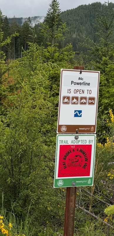
Powerline #4D combines some interesting, tight segments of trail through the forest with a stretch of gravel access road as it follows the high tension power lines toward the coast. A fun and challenging optional section is available for those who want to attempt a reasonably difficult stretch of trail with few significant risks. There are good views near Waypoint 4 looking back to the east along the power lines.

Oregon: Powerline #4B / Tillamook State Forest Hero Photo
All-Access Icon
3.6/5 (19 reviews)
Updated: 12/23/2023

Powerline #4B / Tillamook State Forest

Banks, Oregon
The Powerline #4B trail immediately plunges into a dense second growth forest thick with maples and fir trees dripping with moss and ferns. Depending on how recently the last rains passed through the Tillamook State Forest, visitors may be quite literally greeted with dripping moss and branches hanging low over the trail. A tight switchback points the trail southward toward the high tension power lines. After emerging from the dark and wet forest, the trail turns into a gravel access road that follows under the power lines on their march westward to bring electricity to the communities of the northern Oregon Coast. At the top of the ridge, 4x4ers are greeted with big views to the west across the patchwork of second and third growth timber, and clear cuts. Nine days out of ten, the distant ridges and mountains are veiled in clouds, rain, and mist, but on rare sunny blue sky days, the entire Devil's Lake Branch of the Wilson River Basin is on full display.
Oregon: University Falls Road Hero Photo
Scout Route Icon
5/5 (2 reviews)
Updated: 10/15/2024

University Falls Road

Glenwood, Oregon
University Falls Road is a forest service road located in the Tillamook State Forest. This road does a lower-level loop through the forest and reconnects with US Highway 6. This forest service road is a major access road with access to many 4x4 Jeep trails including: "Powerline #4B", "Powerline #4C" and "Powerline #4D". There are many side roads with dispersed camping and really awesome views of the surrounding hills. Browns Camp ORV Campground is located on Scroggins Creed Road. This is also a staging area for parking tow rigs and trailers. This campground is designated only for OHV camping.
Oregon: Saddle Up Part Two  / Tillamook State Forest Hero Photo
All-Access Icon
5/5 (10 reviews)
Updated: 06/05/2022

Saddle Up Part Two / Tillamook State Forest

Banks, Oregon
Saddle Up Part Two starts with a big gatekeeper boulder field guarding the entrance to a lovely little stretch of dirt track that switchbacks down through a stand of young fir trees. A second boulder field guards the exit to the first segment of Saddle Up Part Two before the trail allows vehicles to continue onto the final segment that wraps around a small knoll popular with hunters for camping. The trail emerges onto a gravel road at the perfect spot to continue on to explore the Dog Leg trail.
Oregon: C-Line Road Hero Photo
Scout Route Icon
5/5 (1 reviews)
Updated: 10/15/2024

C-Line Road

Glenwood, Oregon
C-Line Road starts at Beaver Dam Road and Saddle Mountain Road intersection. This 8.9-mile road goes over to the west side of the forest and connects with South Fork Road, giving you access to some of the more difficult trails in the area. There are many pull-outs with beautiful views and numerous camping spots from which to choose.
Oregon: Powerline #4C  / Tillamook State Forest Hero Photo
All-Access Icon
2.7/5 (14 reviews)
Updated: 01/21/2023

Powerline #4C / Tillamook State Forest

Banks, Oregon
Powerline #4C is a fun jaunt through thickets of alder, maple, and other deciduous trees on the way down to the bottom of the Elliot Creek Drainage. The trail almost immediately narrows to a tight single lane of travel where full-size vehicles might not have the most fun navigating through narrow spots. Depending on when the last maintenance was done on the trail, 4x4s may end up with some pinstriping from brush and trees but that is all part of the charm of Powerline #4C. During the fall, the leaves on the trees turn vivid shades of yellow, orange, and red, making for some very pretty trail segments that are excellent for taking glamour shots of overlanding rigs.
Oregon: Lyda Hill #100 / Tillamook State Forest Hero Photo
All-Access Icon
5/5 (10 reviews)
Updated: 06/05/2022

Lyda Hill #100 / Tillamook State Forest

Tillamook, Oregon
Lyda Hill trail is a short but exciting trail that gets progressively more challenging with a deeply rutted section waiting to challenge the nerves of 4x4ers willing to risk potential body damage from laying a vehicle on its side. The trail climbs up the steep, wooded flank of Lyda Hill but never quite reaches the summit before turning back around on itself and pointing adventurers back down the hill.
Oregon: Truck Dent Hero Photo
All-Access Icon
5/5 (5 reviews)
Updated: 06/05/2022

Truck Dent

Tillamook, Oregon
Truck Dent is a very short, but scenic trail along the top of a ridge, with just enough challenges to keep the driver on his/her "toes". On a clear day,​ you will be treated to beautiful 360-degree panoramic views. As a great connector trail combined with other roads in the area - Truck Dent can be experienced from either direction, but going uphill from west to east can make the trail a bit more challenging. The beautiful forest scenery and panoramic views are what makes this trail so fun.
Oregon: Archers Firebreak #28 / Tillamook State Forest Hero Photo
All-Access Icon
3/5 (10 reviews)
Updated: 06/05/2022

Archers Firebreak #28 / Tillamook State Forest

Tillamook, Oregon
Archers Firebreak #28 is a fun and easy trail that curls down through a recent clear cut from the top of the ridge down to the saddle between Lyda Hill and Archers Ridge. A couple switchbacks on the first part of the trail are a great place to take video of an overlanding rig going on an adventure. This is a popular trail to connect between the trail network in the Browns Camp area (eastern third) of the Tillamook State Forest and the trails that are accessible from the Jordan Creek campground.
Oregon: Archers Firebreak #28G / Tillamook State Forest Hero Photo
All-Access Icon
2/5 (11 reviews)
Updated: 06/05/2022

Archers Firebreak #28G / Tillamook State Forest

Tillamook, Oregon
Archers Firebreak #28G is a fun continuation of the Archers Firebreak series of trails in the Tillamook State Forest. The trail romps along the top of Archers Ridge through stands of second growth timber. If it has been raining recently, the big puddles between Waypoints 2 and 3 should be full of water and a fun place to splash through.
Oregon: Ample and Alluring #26 / Tillamook State Forest Hero Photo
All-Access Icon
4/5 (9 reviews)
Updated: 06/05/2022

Ample and Alluring #26 / Tillamook State Forest

Tillamook, Oregon
Ample and Alluring lives up to its name with an ample forest loaded with big ferns, dripping moss, and a tight trail. The trail is alluring to those who like to thread their way through tight spots and challenge themselves with potential exposure to rolling off the trail if a vehicle wanders too close to the edge. After a great romp through the forest and up the mountain, Ample and Alluring pops out of the woods and onto a gravel road that leads to more adventures in the Tillamook State Forest.
Oregon: Archers Firebreak #28D / Tillamook State Forest Hero Photo
All-Access Icon
3/5 (10 reviews)
Updated: 06/05/2022

Archers Firebreak #28D / Tillamook State Forest

Tillamook, Oregon
Archers Firebreak #28D is a little romp through the forest on top of Archers Ridge. The trail has sections of smooth gravel, sections of dirt track, and a section of muddy trail sunken four feet below the forest floor. This trail is a small part of the larger Archers Firebreak collection of trails that can make for a fun afternoon of exploring in the Tillamook State Forest.
Oregon: #28D Connector /  Tillamook State Forest Hero Photo
All-Access Icon
3.3/5 (11 reviews)
Updated: 06/05/2022

#28D Connector / Tillamook State Forest

Tillamook, Oregon
This trail, part of the Archers Firebreak series of trails in the Tillamook State Forest, is not the monster trail it once was. Trail maintenance several years ago returned the trail to something that can be enjoyed by almost any 4x4er exploring the forest. Spectacular views through the trees into the Jordan Creek area are especially rewarding near sunset when the valley below fills with mist and fog and the sky burns pink and yellow to the west.
Oregon: Archers Firebreak #28I / Tillamook State Forest Hero Photo
All-Access Icon
2/5 (10 reviews)
Updated: 06/05/2022

Archers Firebreak #28I / Tillamook State Forest

Tillamook, Oregon
Archers Firebreak #28I cuts across the top of Archers Ridge on its way west in the series of Archers Firebreak trails. The trail goes through several areas that were recently logged and include some good views of the Jordan Creek Basin. The trail also cuts through healthy second growth forests before ending in a logging landing at the start of the next trail. Stock 4x4s will enjoy this relatively mild trail.
Oregon: Cedar Road Hero Photo
Scout Route Icon
5/5 (1 reviews)
Updated: 10/15/2024

Cedar Road

Jordan Creek, Oregon
Cedar Road climbs through a nice forest. Starting at C-Line Road, it dead-ends at a gate after 3.3 miles. There are majestic views of the hills and valleys looking to the south. 4x4 Jeep trails that are accessible via Cedar Road include "7 Up", "Waldo's Way" and "Dog Leg". A few side roads offer limited camping.
Oregon: Stage Coach Road Hero Photo
Scout Route Icon
5/5 (1 reviews)
Updated: 10/15/2024

Stage Coach Road

Glenwood, Oregon
Stage Coach Road connects "University Falls Road" and "South Fork Road". The road follows a small creek completely shaded, providing a neat rainforest effect with moss growing on the trees. There are a few camping spots on a couple of side roads.
Oregon: Archers Firebreak #28C / Tillamook State Forest Hero Photo
All-Access Icon
3.3/5 (12 reviews)
Updated: 04/21/2024

Archers Firebreak #28C / Tillamook State Forest

Tillamook, Oregon
Archers Firebreak #28C is a short segment of the Archers Firebreak complex of trails along the top of Archers Ridge in the Tillamook State Forest. A fun hill climb can be challenging but manageable for stock vehicles. The trail meanders through a young stand of timber on its way west along Archers Ridge.