



By clicking "ACCEPT", you agree to be the terms and conditions of each policy linked to above. You also agree to the storing of cookies on your device to facilitate the operation and functionality of our site, enhance and customize your user experience, and to analyze how our site is used.
North Carolina Off-Road Trails
12
Total Trail Guides 9

147
Detailed Waypoints 33
Try a Free 7-Day Trial and unlock it all
Start a Free Trial Most Recent Trail Reviews
Rated 5/5
Open
Visited: 09/13/2026
Had an absolute blast on this trail. We have been wanting to do this one for a while now. Opportunity presented itself and we took advantage of a gorgeous day! There are plenty of camping spots as we...

KC
Kim Conard
No Rating
Open
Visited: 08/29/2026
Easy trail. Nothing really exciting here. Good one to add to your Uwharrie trip.
JB
Jason Braswell
Rated 4/5
Open
Visited: 08/29/2026
This is one of my favorite trails in the Uwharrie system. It is easily one of my favorites.... it has everything from mild to wild. A stock rig could handle it with a spotter in some sections. Over al...
JB
Jason Braswell
Rated 4/5
Open
Visited: 08/19/2026
Nice ride with creek crossing. We did it in our stock friendly jeep. Highlights are spot on. Nice Mountain View’s. Some rocks and mud holes, it was a fun trail.
KC
Kim Conard
No Rating
Open
Visited: 08/11/2026
Per the MVUM, the trail is seasonally open. As always, check current fire restrictions/closures before venturing out.

Trails Offroad
Official Crew
No Rating
Open
Visited: 08/11/2026
Per the MVUM, the trail is seasonally open. As always, check current fire restrictions/closures before venturing out.
Trails Offroad
Official Crew
No Rating
Temporary Closure
Visited: 08/11/2026
From the forest service on July 14
Hurricane Gap Road (NFSR 31) Closed on Rollins Chapel Road side from Mile Post 1.116 to Mile Post 1.665
No reopen date listed.

Todd
Official Crew
No Rating
Temporary Closure
Visited: 07/28/2026
Still has cones and the trail barrier blocking off of I40 just past the Harmon Den.
JP
Jeff Pugliese
Rated 5/5
Open
Visited: 07/01/2026
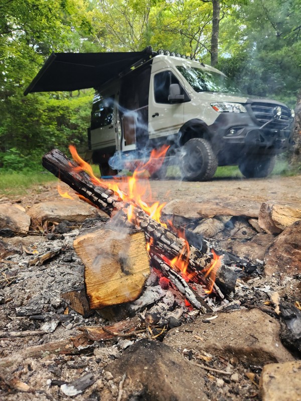
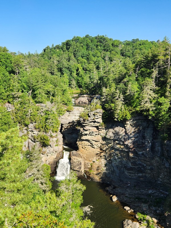
Did the top half of the route to get to a camp spot. Steep in areas with some dug up sections of road, but the northern portion of the route was two lanes wide with plenty of room to maneuver. Some so...
Dylan Erickson
Rated 5/5
Open
Visited: 07/01/2026
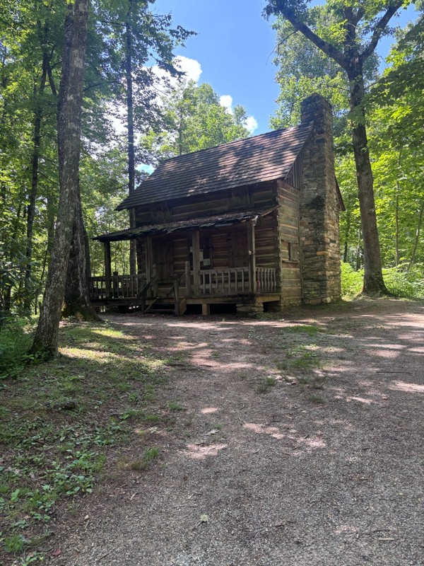
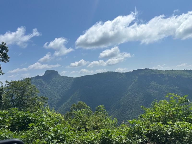
Easy trail. Very nice views.
T
Tommy
No Rating
Open
Visited: 06/26/2026
According to MVUM data, this trail should be open for the season.
Trails Offroad
Official Crew
No Rating
Open
Visited: 06/26/2026
According to MVUM data, this trail should be open for the season.
Trails Offroad
Official Crew
No Rating
Open
Visited: 06/26/2026
According to MVUM data, this trail should be open for the season.
Trails Offroad
Official Crew
No Rating
Open
Visited: 06/26/2026
According to MVUM data, this trail should be open for the season.
Trails Offroad
Official Crew
Rated 5/5
Open
Visited: 06/19/2026
Short but fun trail with a Little Rock garden. I’ve camped at the top of Wolfs den a few times and it’s always been great. This is the perfect trail for beginners provided you don’t try to take on the...
Stacy Grosch
Rated 4/5
Open
Visited: 06/19/2026
From what I've seen, the climb is gradually getting wider, but about halfway up there's a ledge that can kick your rear end sideways and put you uncomfortably close to the tree beside it if you're not...
Stacy Grosch
Rated 5/5
Open
Visited: 06/18/2026
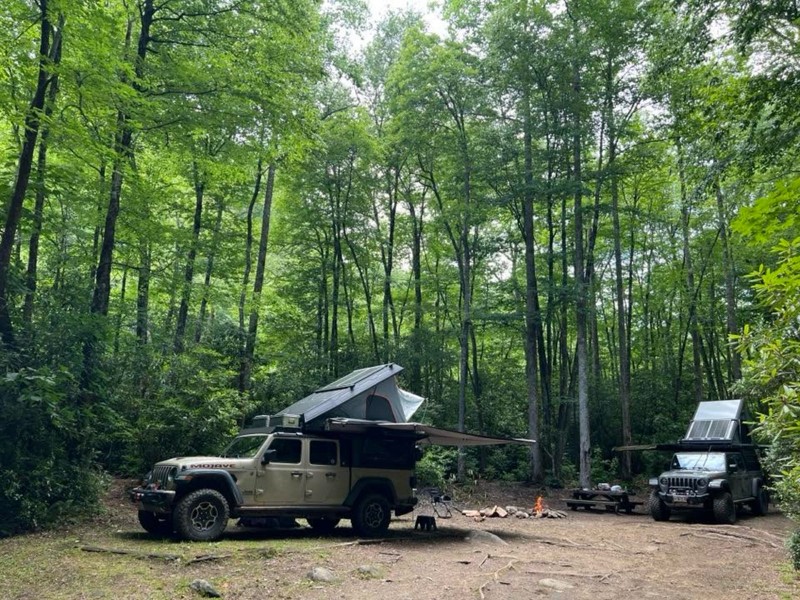
Spent Thursday night at site A12 super nice. Trail was spot on west end was a little ruffer then the east side.

Earl Neisler
No Rating
Open
Visited: 06/14/2026
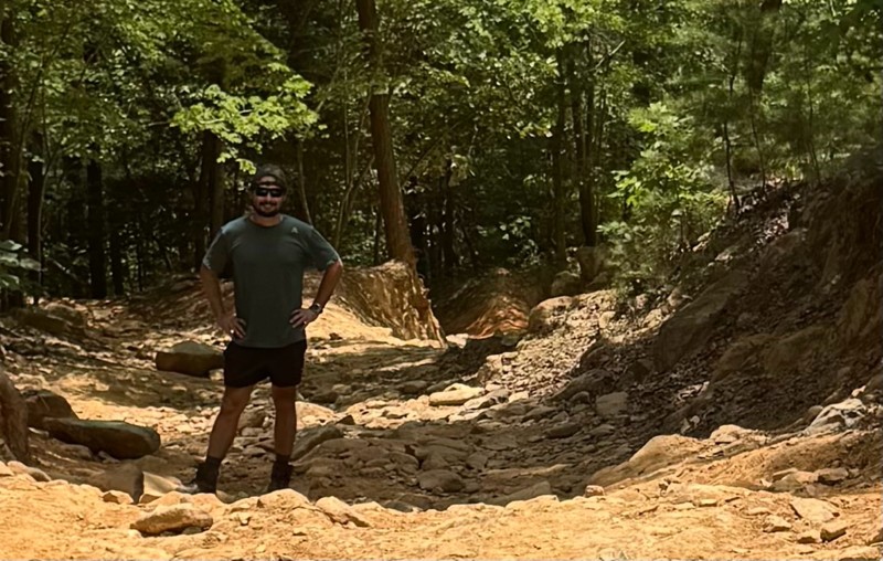
Ran this trail in the countdown WP direction (11,10,9….), as it was our exit the park route. WP 10 was good stop to watch 2 rigs fight their way up and a built rig cleaned it in his sleep. Stock 4xE...
CS
Carl Sirles
No Rating
Open
Visited: 06/13/2026
This is a amazing trail. Dickey bell helped me push the limits of my truck and was an awesome confidence booster. I highly encourage everyone to try this trail if you are ever in the Uwharrie area of ...
JB
Jason Braswell
Rated 4/5
Open
Visited: 05/12/2026
Numerous no visibility, narrow switchback turns going up and down the mountain. Be aware of animals from yards of houses along the way at the beginning of road (before pavement ends). Road is a pleasa...

Bob Decker
Rated 5/5
Open
Visited: 05/02/2026
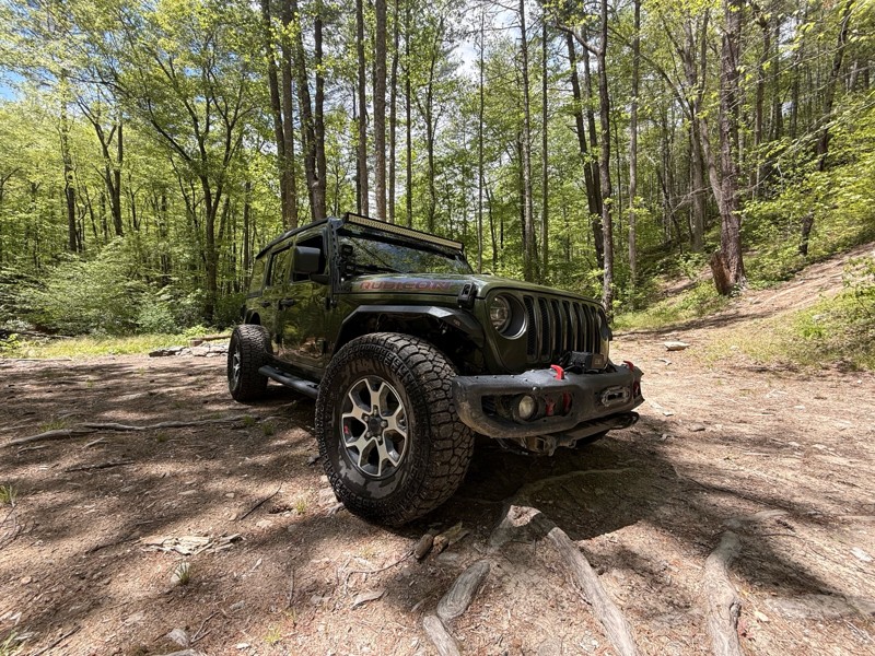
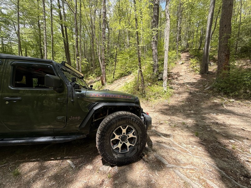
This is a perfect example of a moderate trail. With a great combination of terrain and optional hill climbs and obstacles. It’s public land with some private residencies. Don’t let the closed gate foo...
SS
Samuel Shelton
Rated 5/5
Open
Visited: 04/06/2026
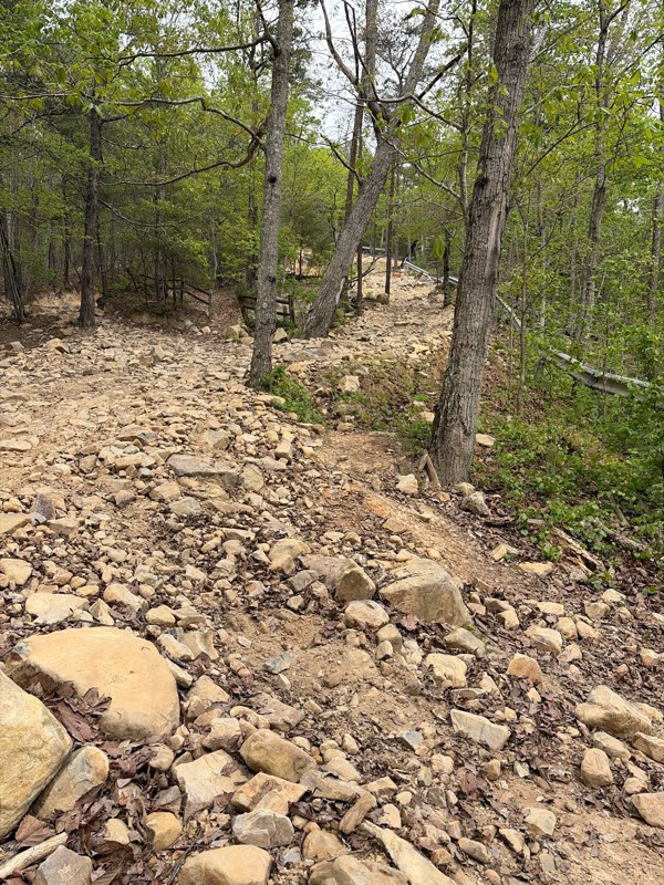
Always a fun ride. The main attraction is of course, the short ascent (or descent) that is a true rock climb. It’s a challenge but any decent 4-wheel vehicle can make it. There are three lines you can...
RL
Rodney Lucas
Todd
Official Crew
Open
Visited: 03/07/2026
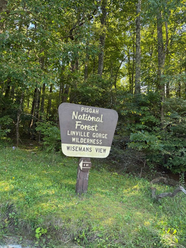
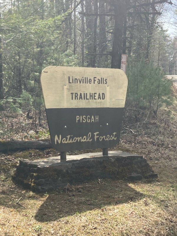
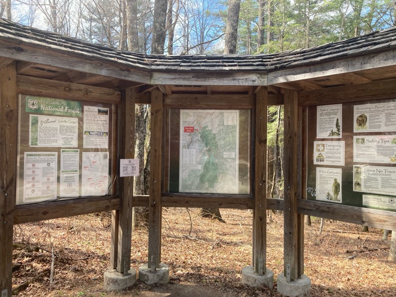
Old 105 never fails to impress. The views are spectacular, the camping is plentiful and the hiking is great. We stopped at Wisemans View at the northern end of the trail to look out over the gorge, an...

Keegan O'Dell
JW
Jon Williams
Rated 5/5
Open
Visited: 02/20/2026
i completed this trail after completing pinnacle mountain trail! was an easy going trail where you can rip through and not need to use any 4WD, you can also take it slow and take in the views, half wa...
CW
CHRISTOPHER WILLIS
Rated 5/5
Open
Visited: 02/20/2026
as a newer person to this lifestyle, i must say taking this road as my first adventure was one of the greatest experiences ever! it starts off with some good smooth gravel that climbs up and down the ...
CW
CHRISTOPHER WILLIS
No Rating
Temporary Closure
Visited: 01/05/2026
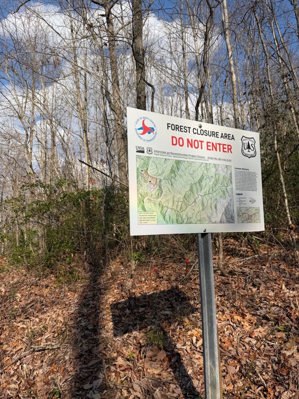
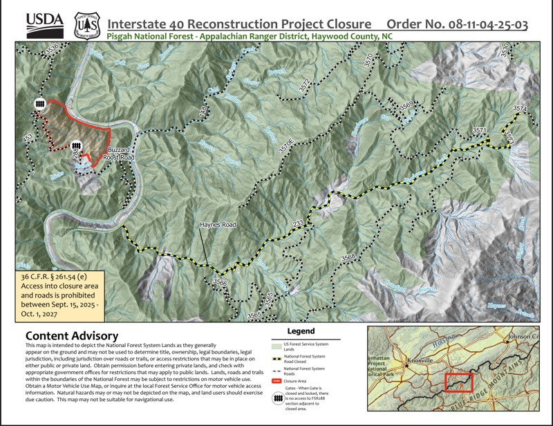
According the Forest, the road is closed until 10/1/2027 per Order No. 08-11-04-25-03,
Todd
Official Crew
No Rating
Seasonal Closure
Visited: 12/31/2025
According to this trails management agency, the trail is likely closed for the season.
You can reach out to the agency for more details.
Be sure to leave us a report and let us know ...
Trails Offroad
Official Crew
No Rating
Seasonal Closure
Visited: 12/31/2025
According to this trails management agency, the trail is likely closed for the season.
You can reach out to the agency for more details.
Be sure to leave us a report and let us know ...
Trails Offroad
Official Crew
No Rating
Seasonal Closure
Visited: 12/15/2025
According to this trails management agency, the trail is likely closed for the season.
You can reach out to the agency for more details.
Be sure to leave us a report and let us know ...
Trails Offroad
Official Crew
No Rating
Seasonal Closure
Visited: 12/15/2025
According to this trails management agency, the trail is likely closed for the season.
You can reach out to the agency for more details.
Be sure to leave us a report and let us know ...
Trails Offroad
Official Crew
No Rating
Seasonal Closure
Visited: 12/15/2025
According to this trails management agency, the trail is likely closed for the season.
You can reach out to the agency for more details.
Be sure to leave us a report and let us know ...
Trails Offroad
Official Crew
No Rating
Seasonal Closure
Visited: 12/15/2025
According to this trails management agency, the trail is likely closed for the season.
You can reach out to the agency for more details.
Be sure to leave us a report and let us know ...
Trails Offroad
Official Crew
No Rating
Seasonal Closure
Visited: 12/15/2025
According to this trails management agency, the trail is likely closed for the season.
You can reach out to the agency for more details.
Be sure to leave us a report and let us know ...
Trails Offroad
Official Crew
No Rating
Seasonal Closure
Visited: 12/15/2025
According to this trails management agency, the trail is likely closed for the season.
You can reach out to the agency for more details.
Be sure to leave us a report and let us know ...
Trails Offroad
Official Crew
No Rating
Seasonal Closure
Visited: 12/15/2025
According to this trails management agency, the trail is likely closed for the season.
You can reach out to the agency for more details.
Be sure to leave us a report and let us know ...
Trails Offroad
Official Crew
No Rating
Seasonal Closure
Visited: 12/15/2025
According to this trails management agency, the trail is likely closed for the season.
You can reach out to the agency for more details.
Be sure to leave us a report and let us know ...
Trails Offroad
Official Crew
Rated 5/5
Open
Visited: 12/09/2025
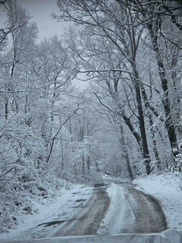
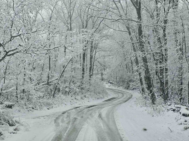
First time on the trail today. Was out looking for some camping spots and I found plenty of them. There was snow on most of the trail today. There were some slick spots. Had to put it in 4x4 twice tod...
BW
Bill Weathers
No Rating
Temporary Closure
Visited: 11/29/2025
The gate to the entrance are locked
DR
Daniel Raynor
Rated 3/5
Open
Visited: 11/28/2025
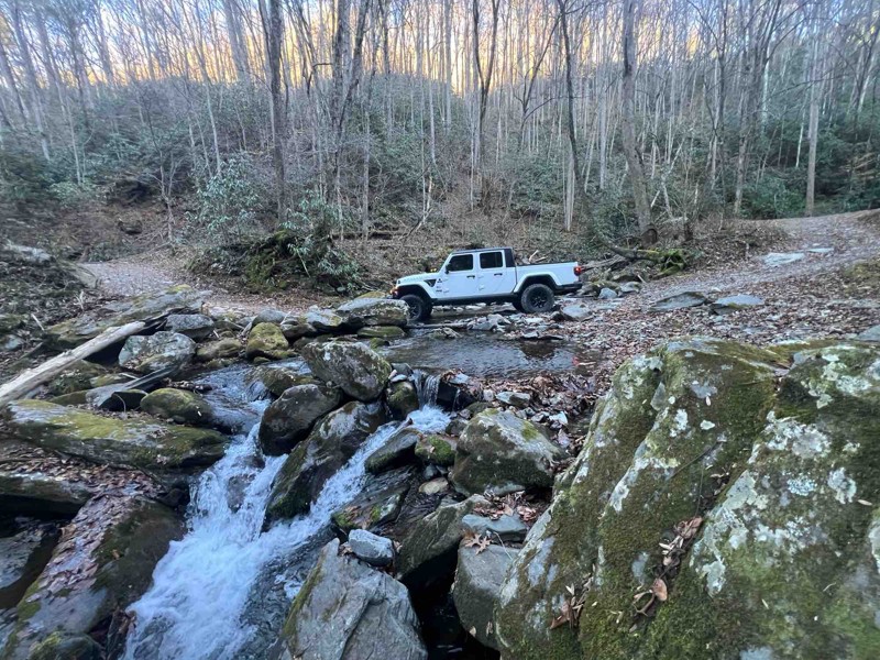
Trail was decent. Not challenging at all. Completed it without using 4wd in a Gladiator with 3.5” lift on 35s.
MP
Matt Parker
Rated 5/5
Open
Visited: 11/28/2025
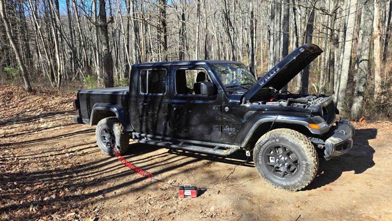
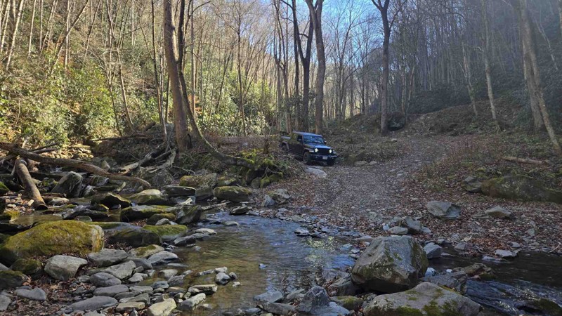
The trail notes were pretty spot on but most of the mud pits are filled in pretty good. Had fun doing it in my stock Gladiator.
CL
Christopher Lanois
DR
Daniel Raynor
No Rating
Open
Visited: 11/21/2025
Ran this conjunction with Bent Creek. It's an easy graded trail that you share with bikers and a few hikers. Easy drive.
EF
Eddie Fort
Rated 3/5
Open
Visited: 11/21/2025
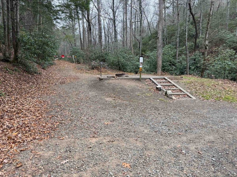
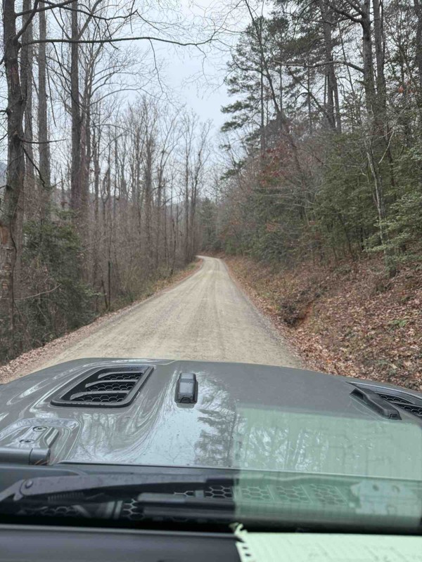
Ran Bent Creek today and it is completely open! An easy graded trail done in 2wd. Camping at the beginning and end in designated campground. No camping on most of the trail.
Easy drive.
EF
Eddie Fort
Most Popular


Updated: 03/09/2026
Green River Road
Cedar Mountain, North Carolina
Green River Road is an easy winding route that crosses the Green River offering great views of the river. This is a well-traveled route connecting to Pinnacle Mountain Road located in the Dupont State Recreational Forest. The road is good for beginners or sightseers looking for moving water not far from the road.

Updated: 06/29/2026
Upper Santeetlah
Lake Santeetlah, North Carolina
Upper Santeetlah meanders through the Nantahala National Forest along Santeetlah Creek passing several historic homesteads. Multiple large shady designated campsites have fire rings and lantern holders.

Updated: 10/15/2024
Webb Mill
Andrews, North Carolina
Webb Mill is a scenic mountain road through the Nantahala National Forest, offering superb views, especially in the Fall. The narrow track twists through the mountains from Andrews across Porterfield Gap to the community of Denton, which boasts a population of "several." There aren't any campsites along this route.

Updated: 09/09/2026
Sawmill Trail
Uwharrie, North Carolina
Sawmill's best use it as a connector running from the end of Rocky Mountain Loop to Slab Pile. This trail gets its Moderate rating due to the water bars on the trail that require adequate clearance to ensure minimal undercarriage scrape and avoid high centering on them.

Updated: 12/02/2025
Bent Creek
Bent Creek, North Carolina
Bent Creek can be used driving out of Asheville, North Carolina to make your way deeper into the forest. It is suitable for any vehicle. There is no camping. Be wary of the many bicyclists using the trail.

Updated: 10/15/2024
Avery Creek
Wolf Ford, North Carolina
Avery Creek is one of the many forest service roads that connect to the Blue Ridge Parkway. When traveling north to south, the road leaves the Parkway and terminates in the south at the White Pines Group Site and Avery Creek. It travels generally downhill and is thick with rhododendron. There are several designated dispersed campsites on the south end, but they offer little privacy. The road is suitable for any vehicle.

Updated: 10/15/2024
Edgemont Road (North)
Gragg, North Carolina
Edgemont Road is a state/county road traveling through private land and the Pisgah National Forest. It follows a shelf almost the entire way down to where it connects with Watauga Turnpike and it eventually ends at Edgemont. The top half delights with flowing waterfalls from the Linn Cove Branch and the Wilson and Little Wilson Creeks. Rhodendron and rock walls line the top. One small camp was found. This would not classify as a great camping road.

Updated: 10/15/2024
Little Snowbird Road
Woodville, North Carolina
The gravel Little Snowbird Road runs through the quaint little community of Denton, which proudly boasts a population of "several." This route continues the offroad connection of the Smoky Mountain 1000 between Andrews and Snowbird. There are not any campsites on this route.

Updated: 10/15/2024
Edgemont Pinola
Mortimer, North Carolina
Traveling from the small town of Edgemont, this gravel and mixed dirt road ascends 2,200 feet and terminates close to the Blue Ridge Parkway and the town of Pineola. Although spelled somewhat differently than this road name, we can only assume that the road once served as a major route between Edgemont and Pineola. Today it offers access to hiking and views of rhododendron, pines, and hardwoods. No dispersed camping opportunities were found.

Updated: 07/14/2025
Hurricane Gap Road
Hurricane, North Carolina
Hurricane Gap Road is a 2-lane gravel road that leaves US 25 east of Hot Springs to the north, taking you up about 1000 feet in elevation to the Rich Mountain Fire Tower Road in the Pisgah National Forest. There is dispersed camping on Rich Mountain Fire Tower Road. The Rich Mountain Fire Tower is one of only six remaining fire towers along the Appalachian Trail.

Updated: 12/02/2025
Wash Creek
Beaverdam, North Carolina
Wash Creek starts from the Blue Ridge Parkway and travels downhill for almost six miles before it meets the North Fork Mills River and the North Mills River improved campground. As you pass by rhododendron and laurel, the road has plenty of twists and turns. The trail also has nine first come, first serve designated numbered dispersed campsites, complete with a fire ring. The trail is suitable for any vehicle.

Updated: 10/15/2024
Watauga Turnpike
Mortimer, North Carolina
A mix of gravel and hardpacked dirt, Watauga Turnpike connects the small town of Edgemont to Edgement Road, which gets you close to Linville. The road will twist and turn with a handful of blind turns. No camping was found.

Updated: 10/15/2024
Old River Road
Fairview, North Carolina
The Old River Road winds you along the incredible white water of the rushing Nantahala River. This is a hot spot for trout fishing. There are multiple campsites right on the river bank.

Updated: 10/15/2024
Edgemont Road (South)
Mortimer, North Carolina
Maps show Edgemont Road being a combination of this road, Edgemont Road North and Watauga Turnpike. We have separated these to pay more attention to the Forest Service Road, Watauga Turnpike. Also, all three roads are completely different from one another in terms of scenery and road surfaces. This section is also Highway 90. It is a simple gravel road that travels mostly through private land. No camping except for the seasonal Mortimer Campground.

Updated: 10/15/2024
Anthony Creek
Globe, North Carolina
Anthony Creek is a simple gravel state road in the Pisgah National Forest. As the trail runs along Anthony Creek, it is lined with rhododendron. There are two waterfalls, the most significant at the eastern end being the Woodruff Branch flow. The trail begins and ends on private land. No camping was spotted.

Updated: 10/15/2024
Headwater
Sega Lake, North Carolina
When traveling from south the north, the road rises in elevation as you follow Rockhouse Creek. Hiking trails branch off to Transylvania Falls and Slick Rock Falls. The scenic value makes this a busy road. There are four designated dispersed campsites. The most secluded site is #1 on the north end. The trail is suitable for any vehicle.

Updated: 08/11/2025
Weavers Bend Road
Wolf Creek, North Carolina
This graveled/dirt out-and-back road takes you along the beautiful French Broad River. There are active train tracks and a bridge at the south end. Multiple campsites right on the river bank are plenty big enough for several vehicles.

Updated: 08/11/2025
Roseboro Gragg
Gragg, North Carolina
Roseboro Gragg is an out-and-back road that leads to Old House Gap, a popular area to hike. Many roads intersected at the Gap at one time, but they are all gated. There is a decent flowing water feature courtesy of Little Wilson Creek. One very nice campsite was spotted early into the trail, but only one.

Updated: 10/15/2024
Rich Mountain Fire Tower Road
Hurricane, North Carolina
Rich Mountain Fire Tower Road is an out-and-back gravel road that takes you to a very scenic lookout tower in the Pisgah National Forest. The tower is open to the public. You can also camp in it. There are also other campsites along the road.

Updated: 10/15/2024
Table Rock
Ashford, North Carolina
The first 3/4 of the road is hard-packed gravel, and the last 25% is a paved one-lane road leading to the parking lot for the hiking area up to Table Rock. The last 25% is the most challenging portion, with a steady 8% to 10% grade with switchbacks. It is a one-mile hike uphill to the top of Table Rock. Suitable for any vehicle.

Updated: 10/15/2024
148A
Joe, North Carolina
148A connects Cold Springs Creek Road with Brown Gap. It is short and has a moderate grade, suitable for any vehicle. A small number of dispersed campsites are found along the road.

Upgrade your Membership
Unlock all of the details on every Trail Guide and Scout Route.
Start a 7-day Free TrialCommunity
Partners

