


By clicking "ACCEPT", you agree to be the terms and conditions of each policy linked to above. You also agree to the storing of cookies on your device to facilitate the operation and functionality of our site, enhance and customize your user experience, and to analyze how our site is used.
New Mexico Off-Road Trails
54
Total Trail Guides 48

402
Detailed Waypoints 53
Try a Free 7-Day Trial and unlock it all
Start a Free Trial Most Recent Trail Reviews
Rated 3/5
Open
Visited: 09/12/2026
Trail was pretty much exactly as described. I’d say the Moderate rating mostly comes from a handful of washouts along the route. Outside of those, it’s a fairly straightforward run. Compared to most m...

JE
Jorge Edward
No Rating
Open
Visited: 09/05/2026
Great trail — BUT what I’ll share makes it even better!
Come in from the south entrance off Laguna Bonita if you’re driving in from Grants. In my opinion, this side has all the fun.
About midway thr...
JE
Jorge Edward
Rated 4/5
Open
Visited: 08/29/2026
Leisurely trail, no real obstacles. Don’t even need to air down. Crest house and parking are closed, but trail is open
SL
Stefan L
Rated 5/5
Open
Visited: 08/26/2026
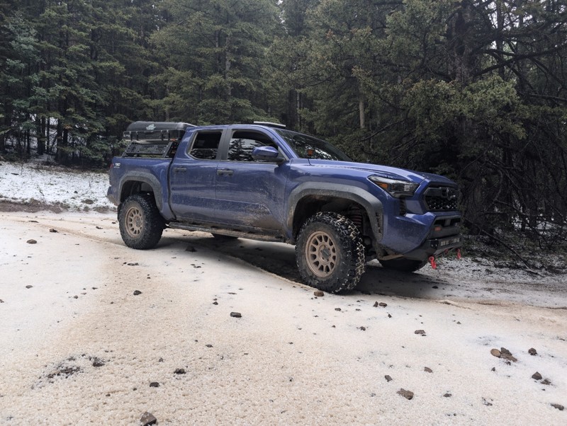
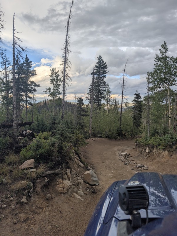
lots of fun. hit a summer thunderstorm at the top that dropped a sheet of hail and sleet. beautiful lake , worth the rocky ascent
CS
Chris S
No Rating
Open
Visited: 08/15/2026
Perfect trail for beginners or a quick dirt fix!
If you’re itching to get off the pavement and want more than just cruising down a wide-open dirt road, this is a great trail to hit. There are enough ...
JE
Jorge Edward
No Rating
Open
Visited: 08/11/2026
Per the MVUM, the trail is seasonally open. As always, check current fire restrictions/closures before venturing out.

Trails Offroad
Official Crew
No Rating
Open
Visited: 08/11/2026
Per the MVUM, the trail is seasonally open. As always, check current fire restrictions/closures before venturing out.
Trails Offroad
Official Crew
No Rating
Open
Visited: 08/11/2026
Per the MVUM, the trail is seasonally open. As always, check current fire restrictions/closures before venturing out.
Trails Offroad
Official Crew
Rated 4/5
Open
Visited: 08/05/2026
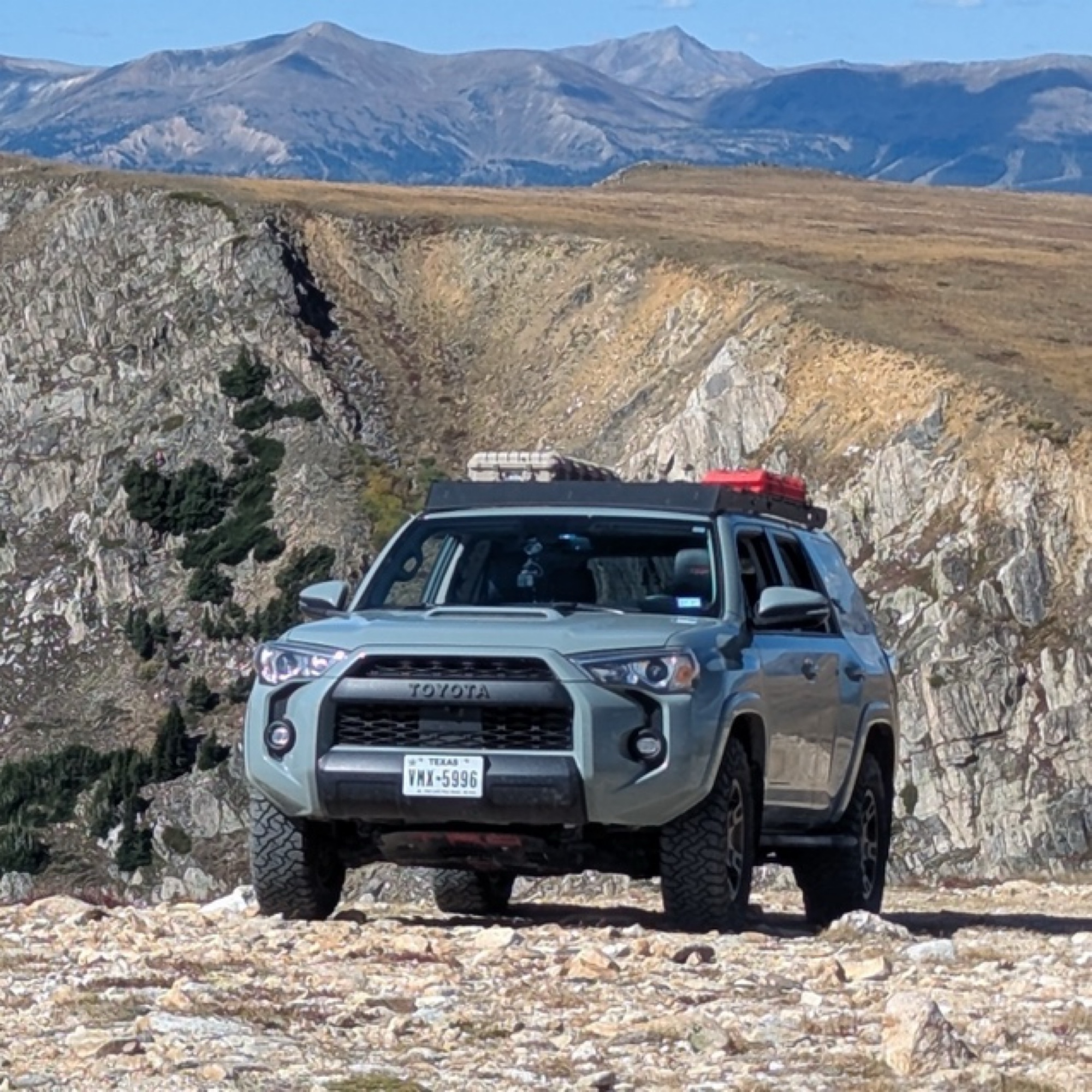
This was my favorite trail of the ones I did in the area. It was about as spicy as I can tolerate (I’m a noob). How this is rated 3 and Arroyo Pinos is also 3 is a mystery; this is much more challengi...
Papa Murph
Rated 5/5
Open
Visited: 07/02/2026
Been on this trail a few times and honestly it got washed out and is super rocky. I’ve got a 2022 wildtrak Bronco which climbed it easily but was kinda spooky and was bashin skid plates!
W
Wyatt
Rated 3/5
Open
Visited: 07/01/2026
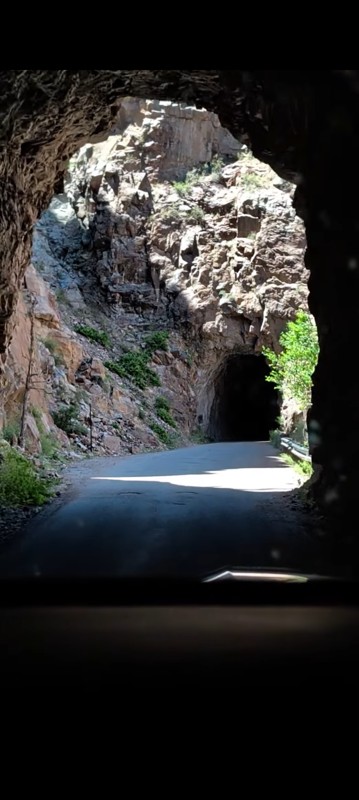
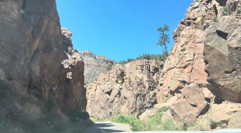
Beautiful drive that's approachable for most 2WD vehicles. The southern section, from the highway north through the Gilman Tunnels, is paved and offers some of the best scenery on the route, with the ...

Desi
Rated 5/5
Open
Visited: 06/27/2026
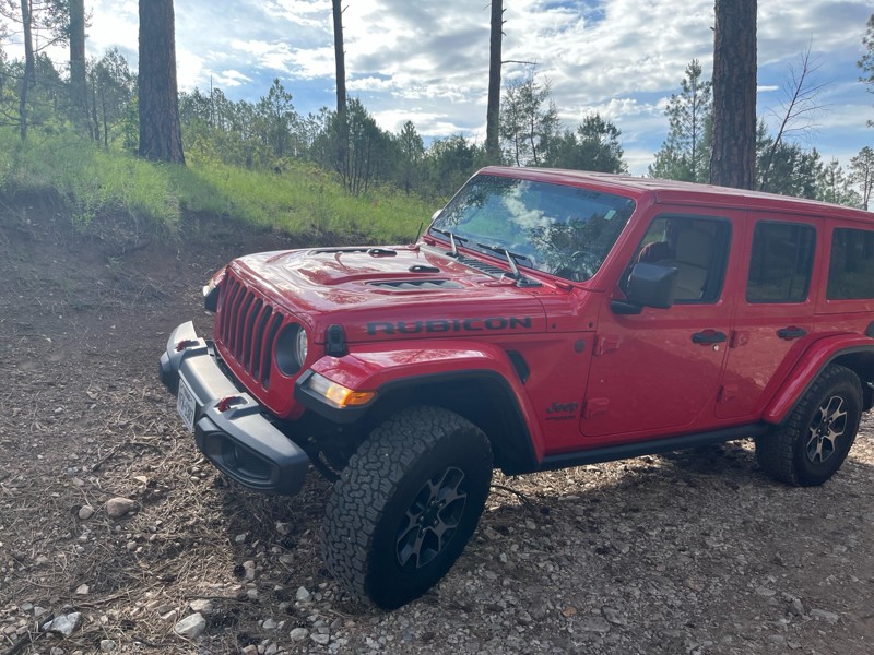
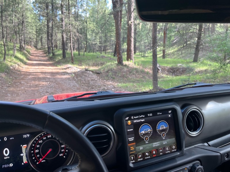
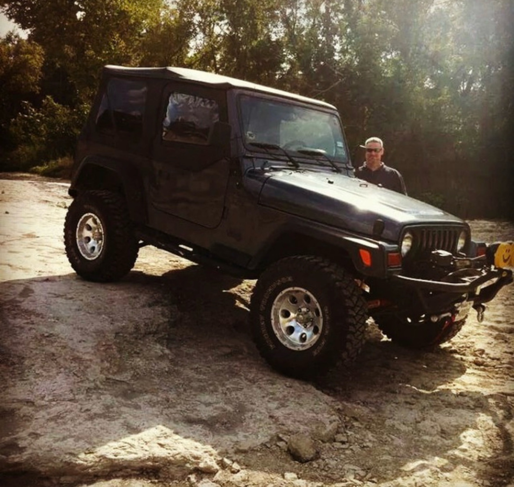
Didn’t use 4x4; easy, beautiful trail. You’ll hit 8100 fr and continue through a gate into a sandy area (if traveling from 82 west of Mayhill) take a left at cargapp and continue up, or take it back t...
J M Woolard
No Rating
Open
Visited: 06/26/2026
According to Agency date data, this trail should be open for the season.
Trails Offroad
Official Crew
No Rating
Open
Visited: 06/26/2026
According to Agency date data, this trail should be open for the season.
Trails Offroad
Official Crew
Rated 4/5
Open
Visited: 06/24/2026
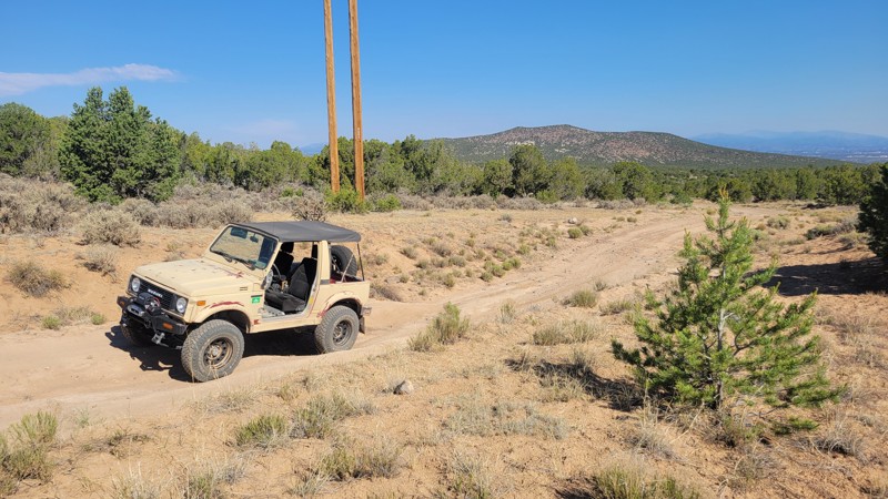
This is the main trail into the Caja Del Rio. Some minor washouts in the summer are normal, but usually don't affect travel.
RG
Remington Gillum
Official Crew
Rated 4/5
Open
Visited: 06/24/2026
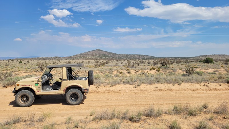
There is some washboard at the bottom, but it is otherwise smooth. The road can become unpassable when muddy.
RG
Remington Gillum
Official Crew
Rated 4/5
Open
Visited: 06/20/2026
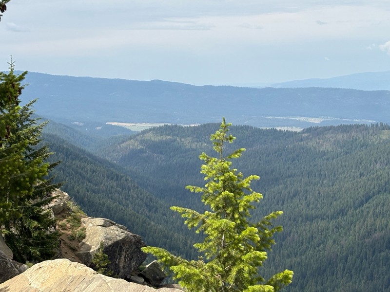
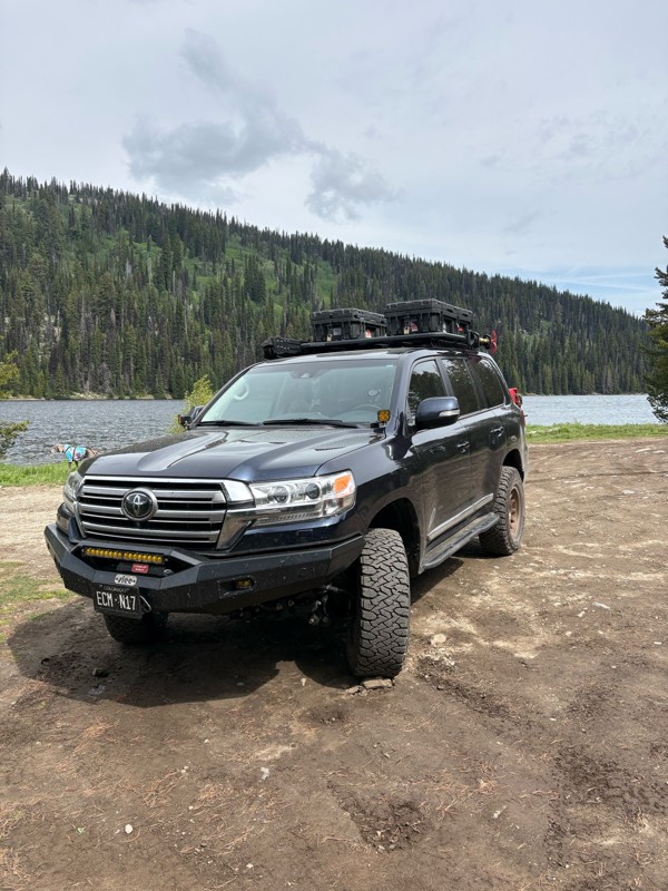
Nice easy and scenic trail. It is pretty washboarded, but not too bad. Very heavily trafficked, but it was a weekend.
Bryan Peterson
No Rating
Partially Open
Visited: 06/13/2026
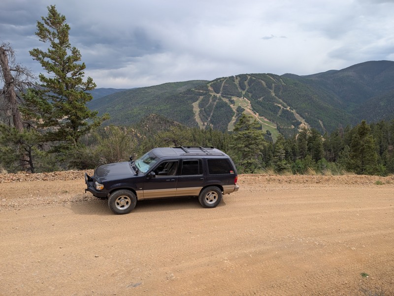
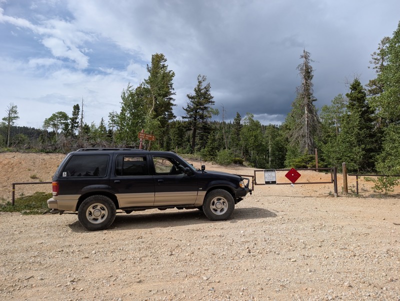
Easy scenic drive. Gate at the top stated the final section to the peak was closed. Worth the drive to escape the tourists in Red River. Easy climb to the top and back down.
Todd Schaffer
No Rating
Open
Visited: 06/13/2026
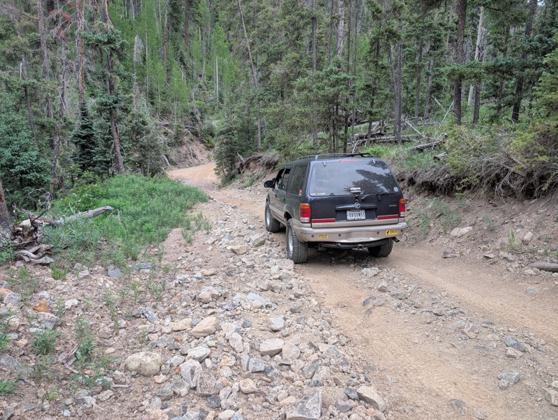
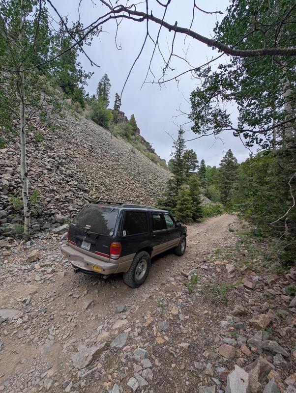
Drove this Saturday afternoon. Short trail ok if you don't have a lot of experience driving off road. Very rocky, watch for sharp rocks if you don't have the right tires. Suggest driving it early in t...
Todd Schaffer
Rated 4/5
Open
Visited: 06/06/2026
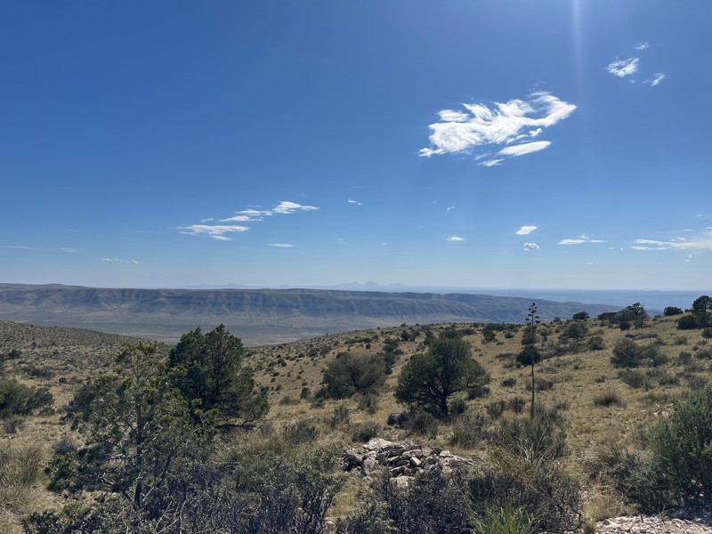
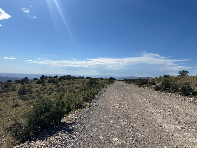
This trail is included in the first part of the New Mexico BDR. Beautiful views off the rim. When the wind in the valley below is above 20 mph, the wind on the rim can reach 50 or 60 mph.

Matthew Cordell
No Rating
Open
Visited: 06/06/2026
Nice ride for beginners. Not too tough and some nice views.
JH
John Hazle
Rated 5/5
Open
Visited: 06/01/2026
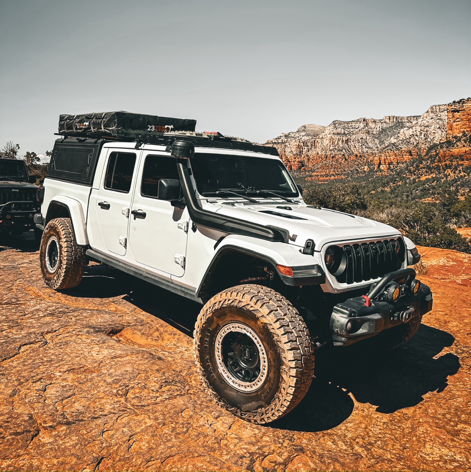
Okay so a few things about this trail, always either start west to east or northeast to southwest, the ruts on this trail over the years have turned it to more difficult on some spots. When going up t...
Francisco
No Rating
Open
Visited: 05/20/2026
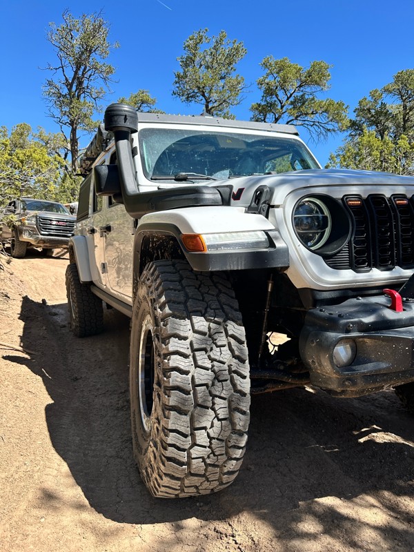
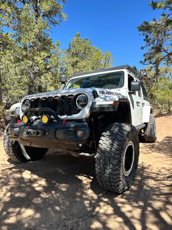
Now open, the obstacles have turned more difficult over the past year or so. Big steps up to 24inches in height, 4wd is definitely recommended and some mud holes that can have up to 36 inches of water...
Francisco
Rated 5/5
Open
Visited: 05/03/2026
The Byway is less washboarded than usual at the moment. There are some steep washouts on both sides of the road in some places so keep your eyes on the road.

Mary Turpin
Mary Turpin
Rated 5/5
Open
Visited: 05/03/2026
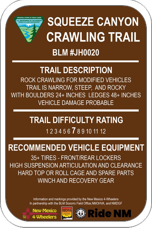
Today was a walking-the-trail encounter with Squeeze. We'd never seen it, and the trail has a reputation with locals for body damage. Much of the trail is typical Gordy's rock crawling fun. The last s...
Mary Turpin
Rated 5/5
Open
Visited: 05/03/2026
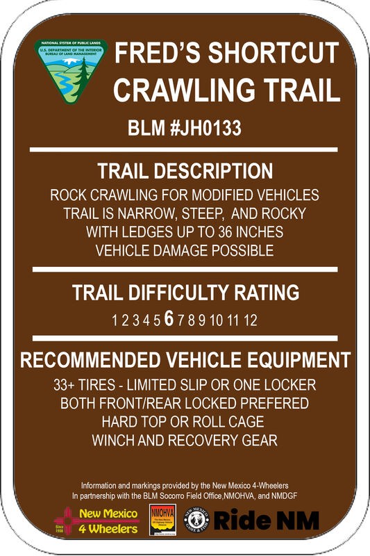
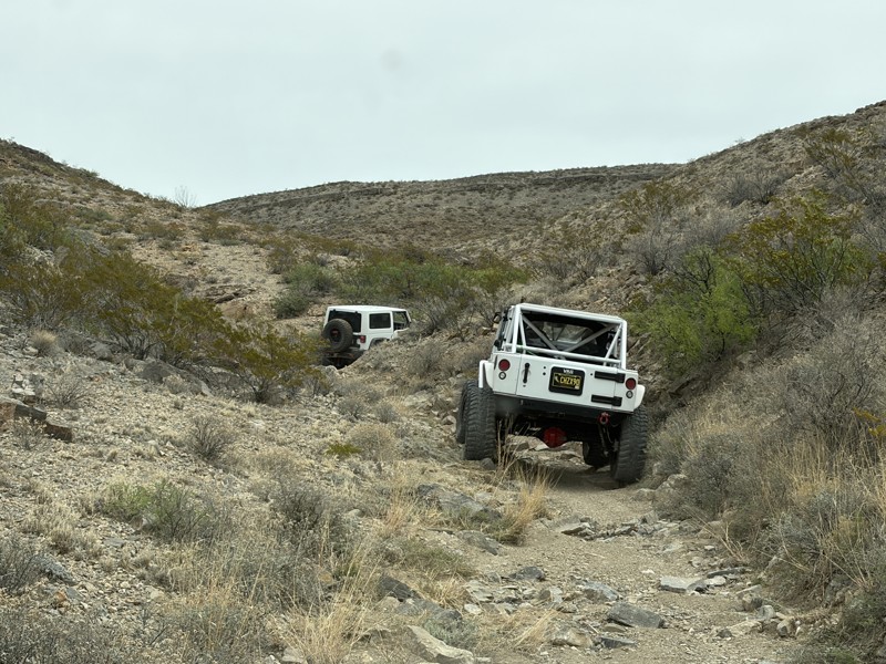
Fred's Shortcut is a fabulous little connector trail within the Gordy's Hill OHV Area. Connecting Upper Amado to Chupadero Mine Road, you can run Lower Amado or Hidden Valley in the morning, and Cat S...
Mary Turpin
Rated 5/5
Open
Visited: 05/03/2026
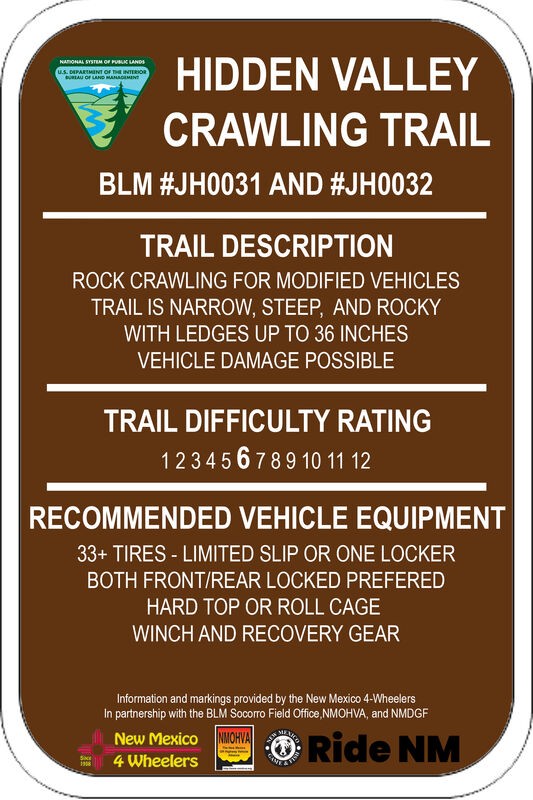
Three New Mexico 4 Wheeler rigs started our day on HV. The gatekeeper is in great shape and easy to climb since the hole at the bottom remains filled in with sand, as it's been all winter. We didn't p...
Mary Turpin
Rated 5/5
Open
Visited: 05/03/2026
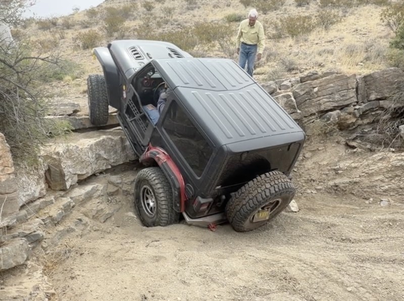
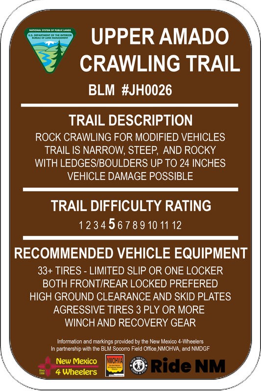
Upper Amado is a fun trail the New Mexico 4 Wheelers and other locals often use as a connector trail to access multiple rock rock crawling trails in the Gordy's Hill OHV Area. Three of us used it to c...
Mary Turpin
Rated 4/5
Partially Open
Visited: 04/11/2026
Blocked by snow about 2/3rds of the way up. Some sections are snow packed at higher elevations. Otherwise muddy, but decent. Trail is very narrow, not a lot of room to turn around. Slick sections can ...

Patrick Baldwin
Rated 4/5
Open
Visited: 03/19/2026
A nice experience for our first off-roading experience in our new Outback Wilderness. Nothing too challenging, mostly some deep ruts and shallow streams that were good easy practice for this type of d...
ZW
Zacary W.F.
Rated 5/5
Open
Visited: 03/16/2026
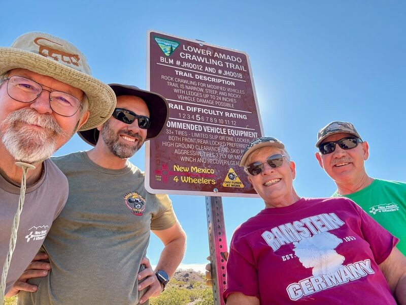
Today is a huge celebration for the New Mexico 4 Wheelers. Lower Amado (formerly Pucker Falls) was named a Jeep Badge of Honor trail today! Our members first walked the desert at the newly-created Gor...
Mary Turpin
Rated 5/5
Open
Visited: 03/14/2026
Arch Canyon is one of our Gordy's Hill OHV Area-home territory trails for the New Mexico 4 Wheelers (www.nm4w.org). I took a crew to do some trail maintenance on the exit end of Arch and holy cow, it'...
Mary Turpin

Scott Mitchell
Official Crew
Rated 5/5
Open
Visited: 03/07/2026
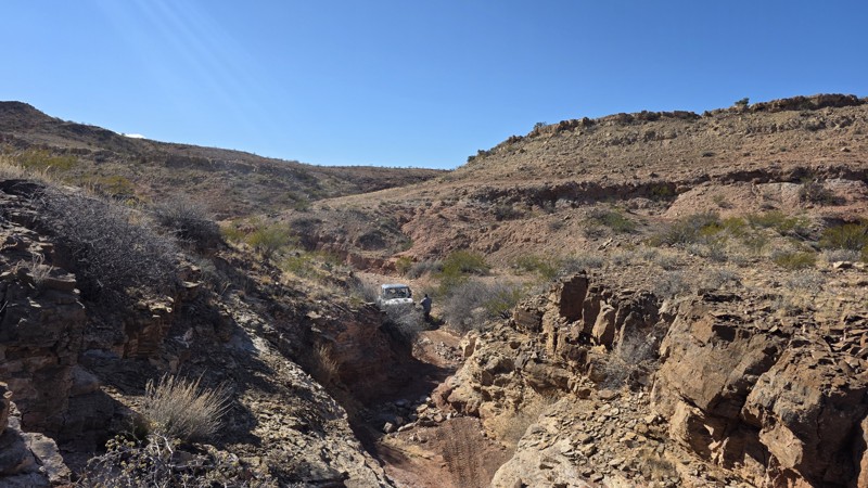
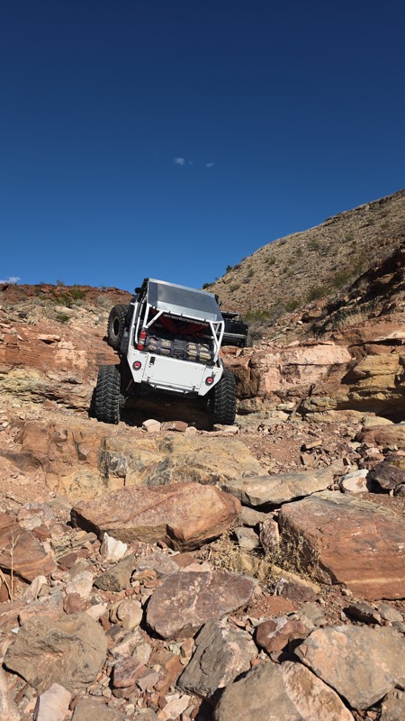
The trail is constantly changing with some obstacles definitely becoming more challenging. Still a solid 9 and always a great time!
Scott Mitchell
Official Crew
Rated 4/5
Open
Visited: 03/07/2026
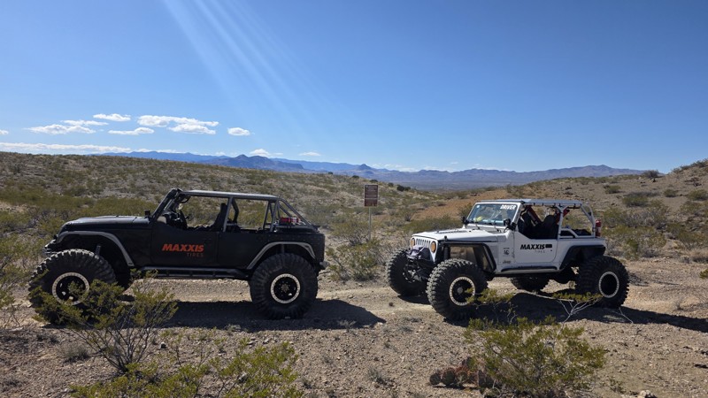
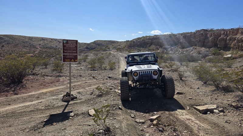
The trail is a bit more rutted between waypoints 5 and 6, and also from waypoint 8 to waypoint 10, but it remains consistent with the rating. It's a great jaunt into the interior of the Quebradas.
Scott Mitchell
Official Crew
Rated 4/5
Open
Visited: 03/07/2026
We ran this one following a trip up Coyote Hills. This trail remains pretty consistent with the trail guide with no noticeable changes.
Scott Mitchell
Official Crew
Rated 4/5
Open
Visited: 03/07/2026
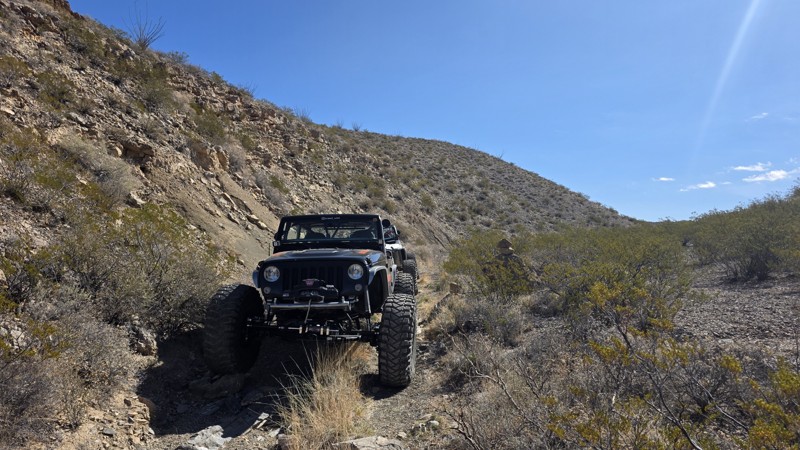
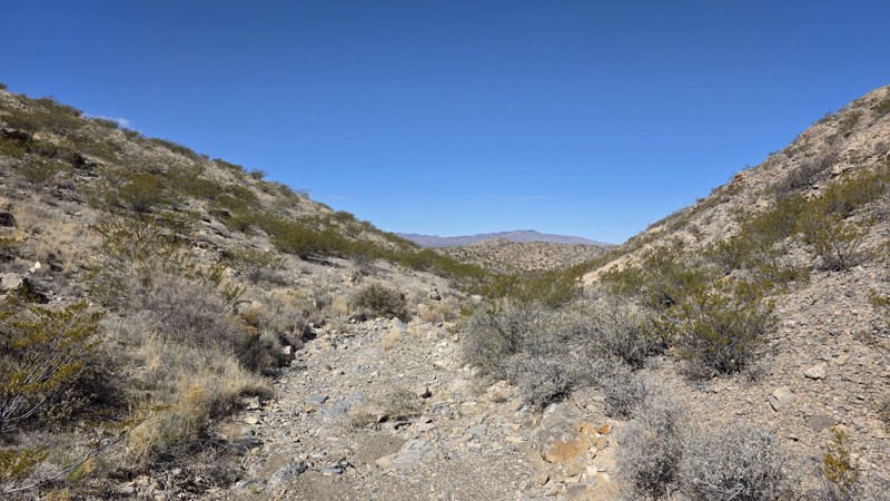
Easy trail for a high clearance 4WD. This is a good trail for making a loop from Bad Hair Day to the upper half of Arch Canyon, which terminates at the Chupadero Mine Road (Minas del Chupadero). It'...
Scott Mitchell
Official Crew
Rated 5/5
Open
Visited: 02/21/2026
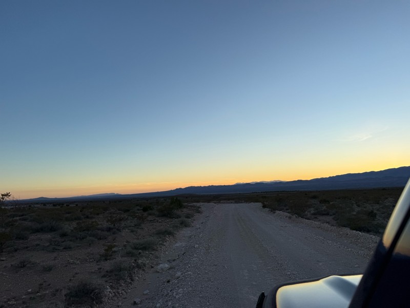
Nice easy drive. A few bumpy spots as to be expected from a dirt road. Beautiful drive through the foothills at sunset.
FM
Felecia Merkel
Rated 5/5
Partially Open
Visited: 01/31/2026
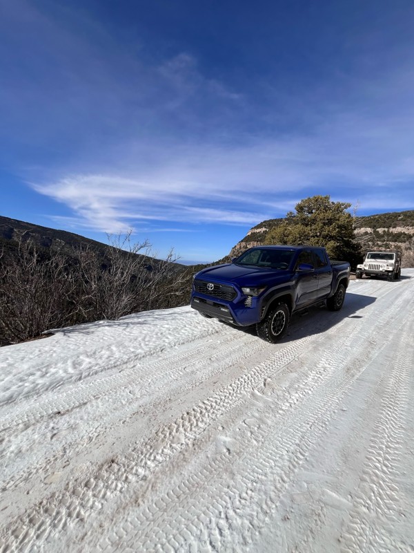
1/2 way up there is a sign that says road is closed and to proceed at your own risk. I had no problems going up this afternoon. I went with a 2nd gen taco TRD Sport totally stock and a ‘98 Wrangler Sa...
T
Tricky_rick
Rated 5/5
Open
Visited: 01/24/2026
NM4W ran Lower Amado going backwards as a last minute addition to explorations on this day. We had done Bad Hair Day and played on parts of Upper Amado earlier in the day, then came up the Causeway an...
Mary Turpin
Rated 5/5
Open
Visited: 01/24/2026
New Mexico 4 Wheelers took 5 rigs on BHD and had a blast! Rains the previous 24 hours made the trail damp, although not muddy. Wet sand allowed normally stable boulders to move as rigs went through, r...
Mary Turpin
Rated 5/5
Open
Visited: 01/24/2026
While most of the trail isn't a problem, it's always the hole at the base of the gatekeeper that is the question. Today it was completely filled in with sand, making the approach & climb a piece of ca...
Mary Turpin
No Rating
Temporary Closure
Visited: 01/17/2026
FR 144 is closed at the west end with a USFS sign that reads "No Motor Vehicles 1/1 - 4/15"
TS
Taylor Smith
Rated 5/5
Open
Visited: 01/10/2026
My club, the New Mexico 4 Wheelers, took 4 rigs on this fun trail on a chilly winter day and had all kinds of fun! Doug's is not a long trail but it is a solid Level 7. Lifts, lockers, and winches wer...
Mary Turpin
Rated 5/5
Open
Visited: 01/10/2026
All kinds of rock crawling fun on Bad Hair Day! Nothing is too hard on it's own, but the trail gives you a solid workout the whole way through. If you like rocks, rocks, and more rocks, this trail is ...
Mary Turpin
Most Popular

Updated: 10/15/2024
NF 157
Timberlake, New Mexico
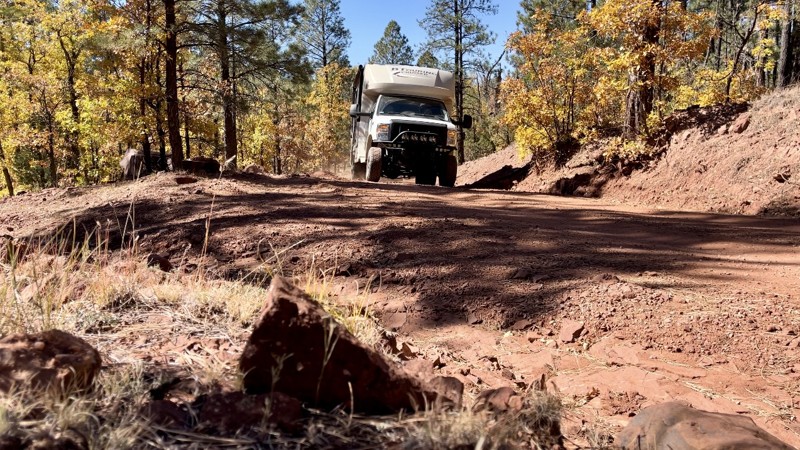
This easy point-to-point scenic road takes you over the Zuni Mountains in the Cibola National Forest. It crosses through a few pieces of privately owned land with gates. No campsites were found along this trail. Two established campgrounds, as well as dispersed campsites, are available north of the trail. Quaking Aspen and McGaffey Campgrounds are located along NM 400. Both are seasonal and have large sites suitable for everything but large Class A motorhomes. Neither have water.
This ordinarily easy trail is impassable when wet. Pay attention to the weather.
Updated: 08/10/2025
American Creek
Cuba, New Mexico
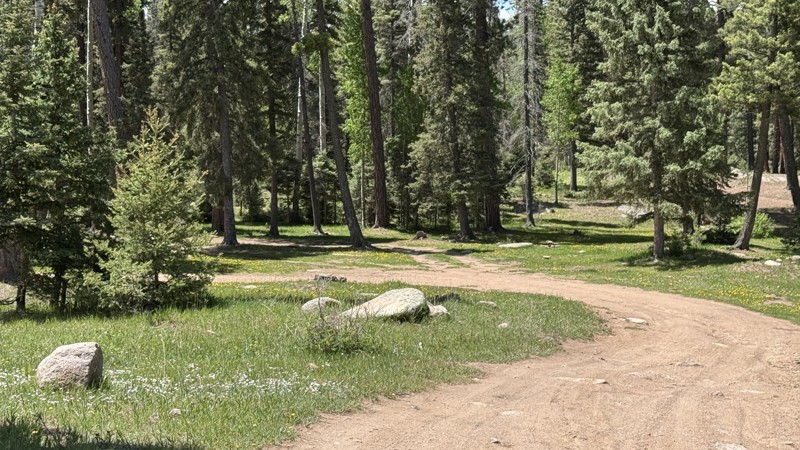
Santa Fe National Forest Service Road 70, also known as the American Creek Trail, offers a remote and scenic route through the Jemez Mountains in northern New Mexico. This unpaved forest road follows the path of Rio de las Vacas (or American Creek), winding through dense coniferous forests and open meadows. It provides access to established & dispersed camping, hiking, and wildlife viewing. This easy, graded dirt trail is doable in a passenger car, but has moderately challenging spur trails that may require a high-clearance, 4x4 vehicle. There is a large established campground at the beginning of the trail. This trail is shared with hikers and horseback riders.
Updated: 09/17/2026
Caja Del Rio
Tres Arroyos, New Mexico
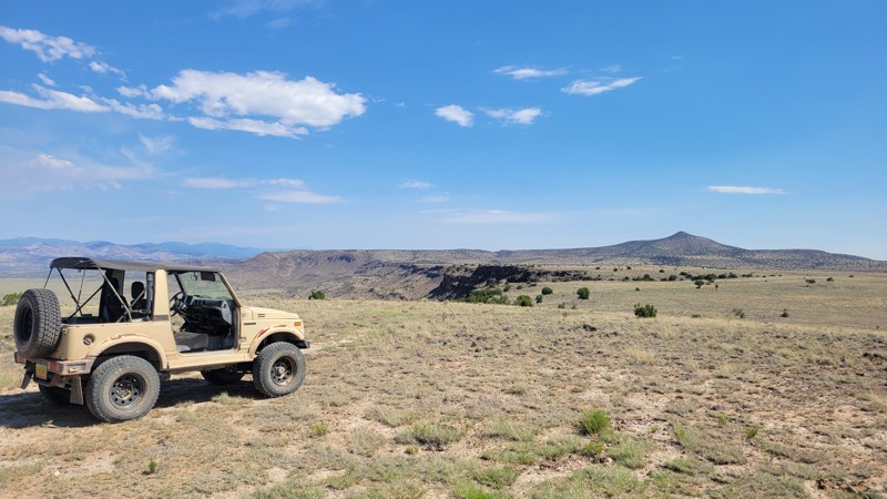
Caja del Rio Road (Forest Road 24) is the primary route into the rugged Caja del Rio plateau west of Santa Fe, offering an easy and scenic drive across one of northern New Mexico's most distinctive volcanic landscapes. Beginning among the rolling piñon and juniper-covered hills, the well-traveled dirt road gradually climbs onto the broad La Bajada Mesa, where expansive views stretch across the Rio Grande Valley, distant mountain ranges, and the dramatic basalt cliffs that define the region. The final miles follow the original alignment of pre-1937 Route 66, ending at the southern edge of the mesa with a remarkable overlook of the historic La Bajada switchbacks that once challenged early cross-country travelers. Aside from occasional minor washouts after summer storms, the road is generally suitable for most passenger vehicles in dry conditions, making it an excellent choice for sightseeing, photography, history, and exploring the many side roads throughout the Caja del Rio.
Updated: 10/15/2024
Underwood Lake Road aka Hell Roaring Mesa
Feaster, New Mexico
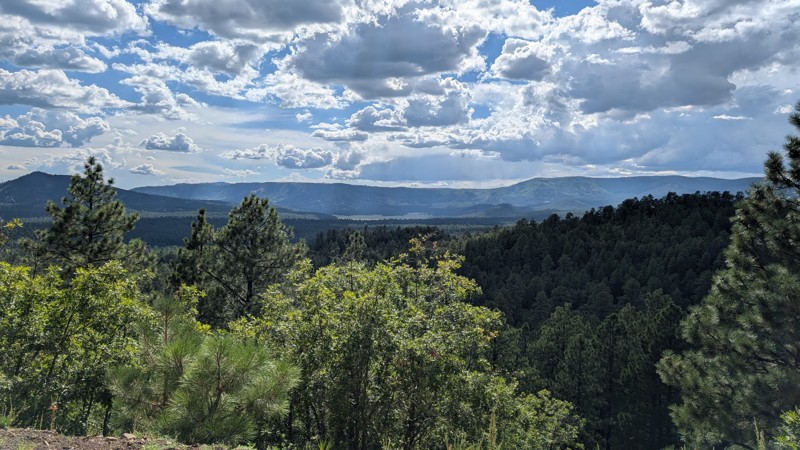
Underwood Lake Road, also known as Hell Roaring Mesa, is a well-maintained graded dirt road suitable for almost any vehicle. It is an out-and-back road that takes you back into the forest and has several places great for dispersed camping. The name suggests a lake somewhere nearby, but if there is one, it has long since dried up. The road ends, and there is a large area for camping with a fire pit already constructed. Herds of elk roam the area, and you can hear the wolves howling at night. This might be your spot if you are looking for a place to set up camp in an area with some solitude.
Updated: 01/06/2026
The Great Escape
Escondida, New Mexico
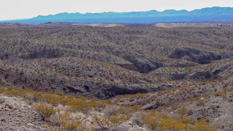
Connecting the Pucker Falls trail to Hidden Valley Loop, The Great Escape is an aptly named trail that rises steeply up the side of the massive arroyo, offering drivers a quick escape from the high rock escarpments of the falls back to the main Quebradas road, with the bonus of an amazing panoramic view at the end. This connecting trail is a steep (> 40-degree) ascent up a loose dirt and gravel hillside that takes you to the north ridge above Amado Canyon. The first section of the climb is an immediate 60-foot elevation change that is loose and rutted, followed by a right turn onto a longer section that takes you up another 60 feet in elevation. In all, you rise approximately 12 stories in 0.1 miles. Steady, 4-low power in an under-powered gear like 2nd will help maintain traction. Too much power causes bouncing and spinning wheels, which is something to avoid. Note that this trail will put you out on the Hidden Valley Loop trail, from which you will also have a very steep descent, regardless of the direction you go. If you are uncomfortable seeing nothing but blue sky in your windshield, returning to the Pucker Falls trailhead is another option. This trail is suited for drivers experienced with steep grades and loose footing. This trail may be impassable under wet conditions.
Updated: 09/29/2025
FS 429
San Rafael, New Mexico
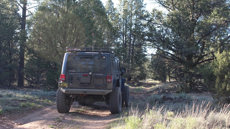
Just over an hour west of Albuquerque, New Mexico, FS 429 is a short but beautiful trail in the Zuni Mountains that is somewhat off the beaten path. The tall ponderosa pines surrounding this quiet and secluded trail in Limekiln Canyon make for the perfect area to camp, picnic, and explore with the entire family. The San Mateo and Zuni Mountains make up the Mt. Taylor Ranger District, which has approximately 520,000 acres of diverse forest lands, including Mt. Taylor, an extinct volcano considered sacred to Native Americans. The Zuni Mountains have a diverse history that includes railroad logging and sheep herding. Many of the trails in this area were originally used for railroad logging operations in the late 1800s and early 1900s during steam railroading's heyday. There are many antiquities in the area, including old homesteads, mining camps, logging camps, and vast volcanic features.
Excellent dispersed camping is allowed along both sides of FR 429 within 300 feet of the road's centerline , as indicated on the Motor Vehicle Use Map (MVUM) for the Mount Taylor Ranger District (505-287-8833). Note that this is an unimproved area, so please, tread lightly. A shovel and axe are required in order to have a campfire in unimproved areas of the Zuni Mountains. Please observe all fire restrictions.
Updated: 09/29/2025
Cruce de Parida
Lemitar, New Mexico
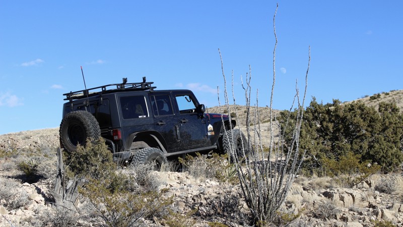
Cruce de Parida (Parida Crossing) is a short and easy connecting trail in the Coyote Hills that brings four area trails together and provides access to the Arroyo de la Parida. The tranquility and scenery of this desert area is relaxing and picturesque, with red earth and ancient sandstone cliffs climbing out of deep arroyos. Whether you want to explore, camp, hunt for rocks, or just get some fresh air and sunshine, planning a trip within the network of trails that Cruce de Parida connects is a great way to go. Flora and fauna abound in this rugged yet beautiful landscape. At certain times of day, you may see area wildlife, including gray fox, mule deer, coyote, bobcat, porcupine, raccoon, ground squirrel, opossum, jackrabbit, cottontail, and of course, always be on the lookout for rattlesnakes! Although camping is legal anywhere along the trail, no predisturbed campsites exist directly along this trail.
Updated: 09/29/2025
El Canal
Escondida, New Mexico
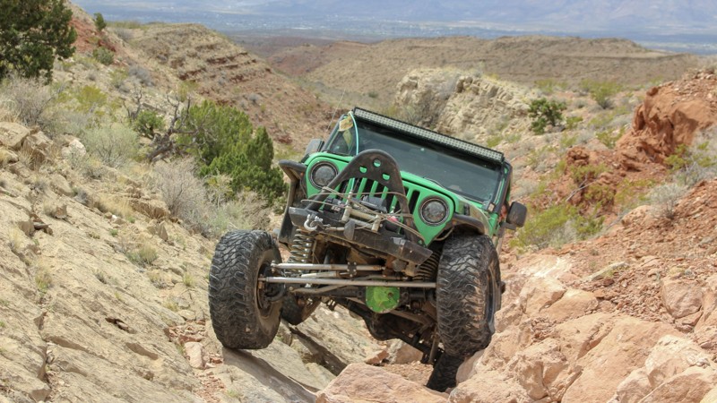
El Canal (The Gutter) is a brief but difficult loop off of the Coyote Exit trail. Though the views from this spot are spectacular, you won't notice them as this trail will demand every bit of your attention. If you're looking to get your heart rate up and test your rig, this is a great place to do it! The Quebradas (Spanish for "breaks") are located between two major protected wildlife areas, the Sevilleta National Wildlife Refuge to the north and Bosque del Apache National Wildlife Refuge to the south. There are many 4WD trails along the Quebradas Backcountry Byway, which bisects the 6,000-acre Gordy’s Hill Off-Highway Vehicle (OHV) Area, providing offroad driving challenges for all experience levels and offroad vehicle capabilities. No camping is found directly along the trail
Updated: 09/17/2026
FR 24M
Las Campanas, New Mexico
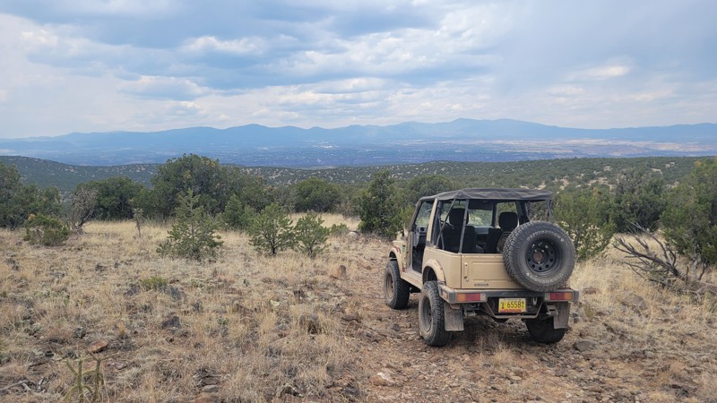
This trail offers incredible views of the Sangre de Cristo mountains to the east and the Jemez mountains to the west. It starts as a dusty dirt road before a few rocky climbs to the best vantage points. You'll end the trail at the edge of White Rock Canyon with the Rio Grande below you, and Los Alamos just across the canyon.
Updated: 09/17/2026
FR 24J
White Rock, New Mexico
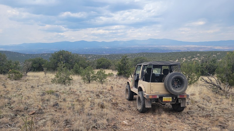
This is a great route to run as a loop in conjunction with 24M. It carves through the sagebrush flats and up basketball-sized rocky climbs. It is only slightly harder than 24M but offers just as many views. The trail is narrow in spots, so expect pinstriping.
Updated: 07/02/2026
Camel Tracks Road
La Cienega, New Mexico
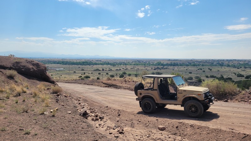
Camel Tracks Road is a mostly smooth and scenic climb from the Santa Fe River valley up onto the wide-open Caja del Rio Plateau, serving as the southern gateway into this rugged landscape west of Santa Fe. The road carries a quiet sense of history, following part of the original pre-1937 Route 66 alignment before connecting with Santa Fe National Forest Road 24. Along the way, drivers can expect sweeping desert views, rolling high-desert terrain, distant mountain backdrops, and the open, windswept feel that makes the Caja del Rio such a unique escape from the city. The drive is generally easy, with a mostly mellow surface with stretches of washboard, making it suitable for most vehicles in dry conditions.

Upgrade your Membership
Unlock all of the details on every Trail Guide and Scout Route.
Start a 7-day Free TrialCommunity
Partners

