


By clicking "ACCEPT", you agree to be the terms and conditions of each policy linked to above. You also agree to the storing of cookies on your device to facilitate the operation and functionality of our site, enhance and customize your user experience, and to analyze how our site is used.
New Mexico Off-Road Trails
54
Total Trail Guides 48

402
Detailed Waypoints 54
Try a Free 7-Day Trial and unlock it all
Start a Free Trial Most Recent Trail Reviews
Rated 3/5
Open
Visited: 09/12/2026
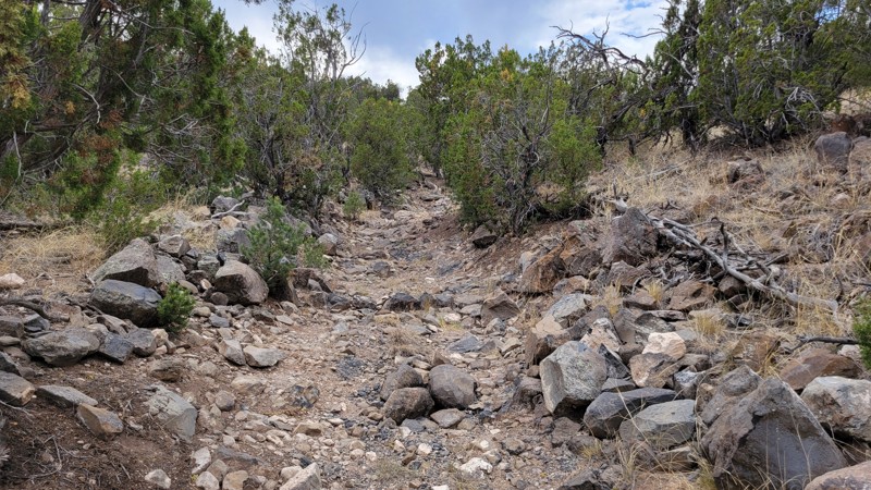
Trail was pretty much exactly as described. I’d say the Moderate rating mostly comes from a handful of washouts along the route. Outside of those, it’s a fairly straightforward run. Compared to most m...

JE
Jorge Edward
Rated 4/5
Open
Visited: 09/08/2026
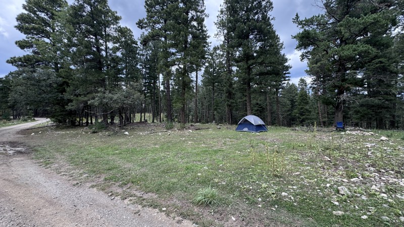
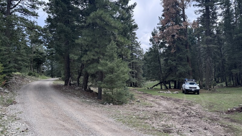
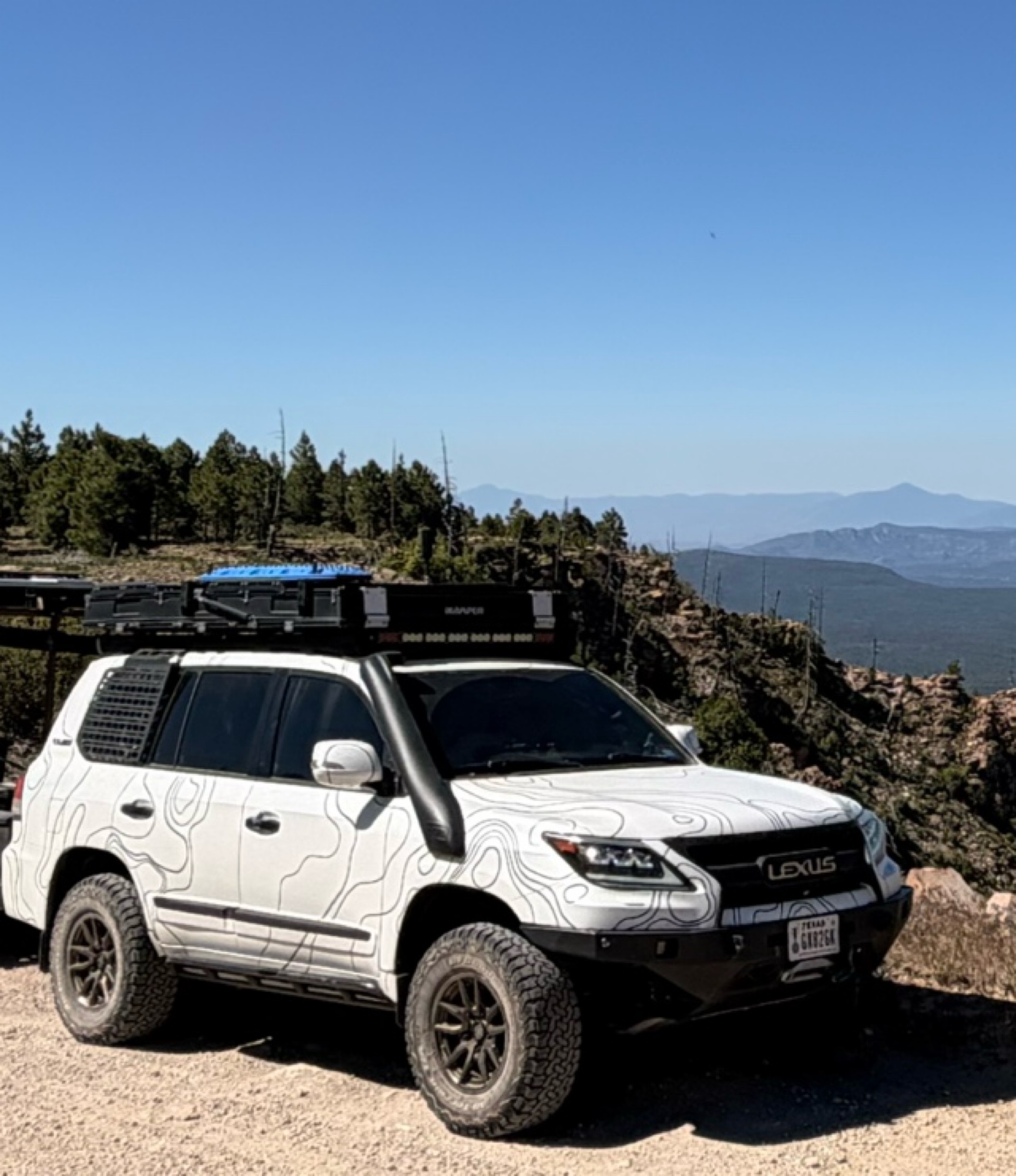
Pumphouse Road was a peaceful and enjoyable escape into the Lincoln National Forest. The dense forest provided a welcome change from the surrounding desert, and the recent rain left portions of the ro...
Chase “Steady” Capehart
Official Crew
No Rating
Open
Visited: 09/05/2026
Great trail — BUT what I’ll share makes it even better!
Come in from the south entrance off Laguna Bonita if you’re driving in from Grants. In my opinion, this side has all the fun.
About midway thr...
JE
Jorge Edward
Rated 4/5
Open
Visited: 08/29/2026
Leisurely trail, no real obstacles. Don’t even need to air down. Crest house and parking are closed, but trail is open
SL
Stefan L
Rated 5/5
Open
Visited: 08/26/2026
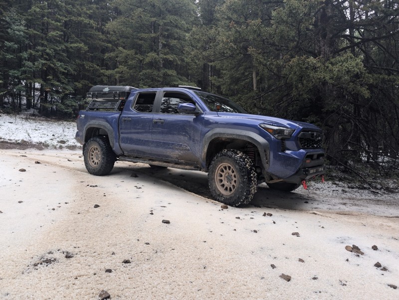
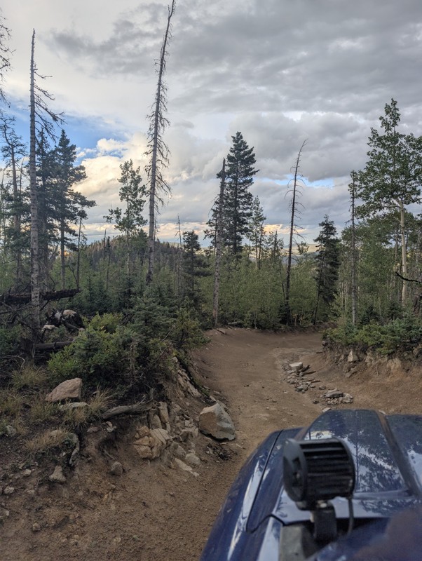
lots of fun. hit a summer thunderstorm at the top that dropped a sheet of hail and sleet. beautiful lake , worth the rocky ascent
CS
Chris S
No Rating
Open
Visited: 08/15/2026
Perfect trail for beginners or a quick dirt fix!
If you’re itching to get off the pavement and want more than just cruising down a wide-open dirt road, this is a great trail to hit. There are enough ...
JE
Jorge Edward
No Rating
Open
Visited: 08/11/2026
Per the MVUM, the trail is seasonally open. As always, check current fire restrictions/closures before venturing out.

Trails Offroad
Official Crew
No Rating
Open
Visited: 08/11/2026
Per the MVUM, the trail is seasonally open. As always, check current fire restrictions/closures before venturing out.
Trails Offroad
Official Crew
No Rating
Open
Visited: 08/11/2026
Per the MVUM, the trail is seasonally open. As always, check current fire restrictions/closures before venturing out.
Trails Offroad
Official Crew
Rated 4/5
Open
Visited: 08/05/2026
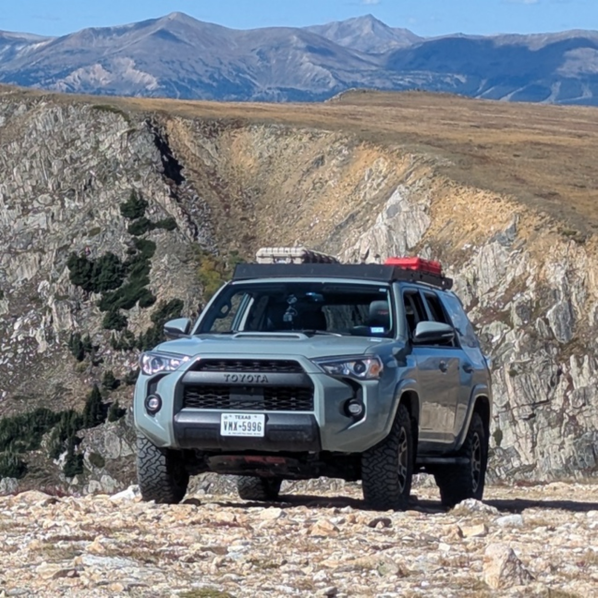
This was my favorite trail of the ones I did in the area. It was about as spicy as I can tolerate (I’m a noob). How this is rated 3 and Arroyo Pinos is also 3 is a mystery; this is much more challengi...
Papa Murph
Rated 5/5
Open
Visited: 07/02/2026
Been on this trail a few times and honestly it got washed out and is super rocky. I’ve got a 2022 wildtrak Bronco which climbed it easily but was kinda spooky and was bashin skid plates!
W
Wyatt
Rated 3/5
Open
Visited: 07/01/2026
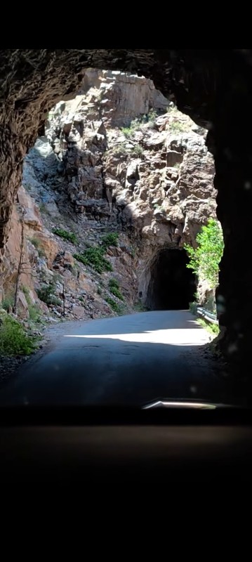
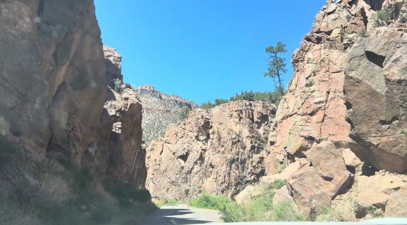
Beautiful drive that's approachable for most 2WD vehicles. The southern section, from the highway north through the Gilman Tunnels, is paved and offers some of the best scenery on the route, with the ...

Desi
Rated 5/5
Open
Visited: 06/27/2026
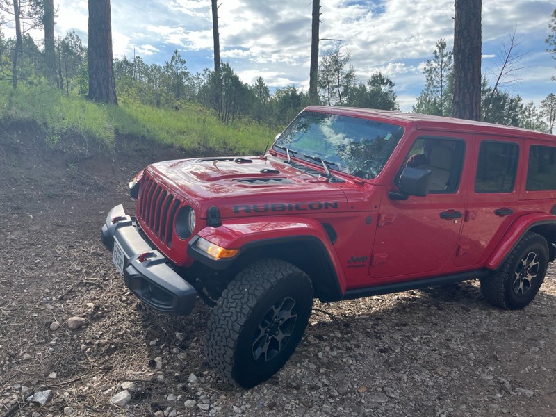
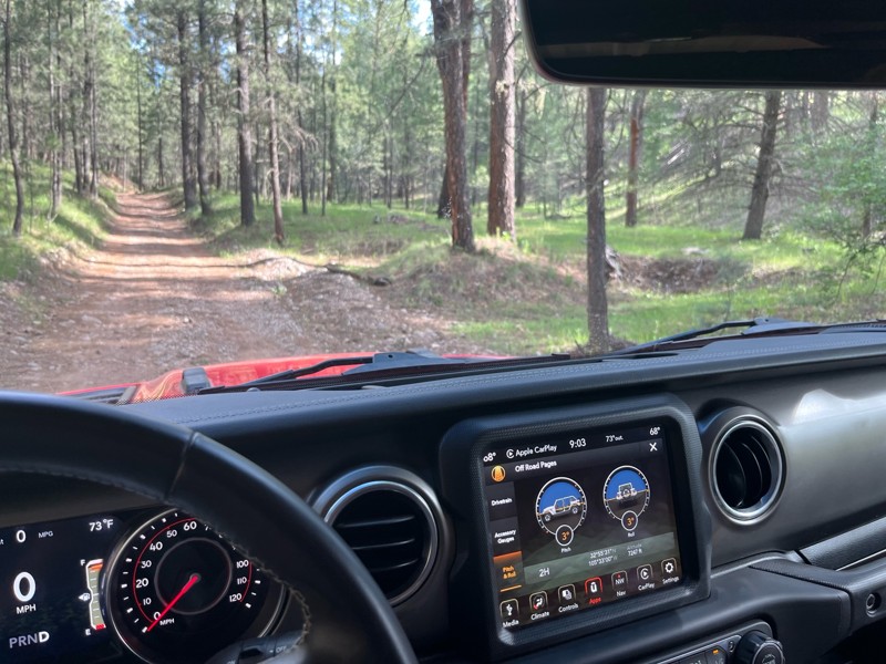
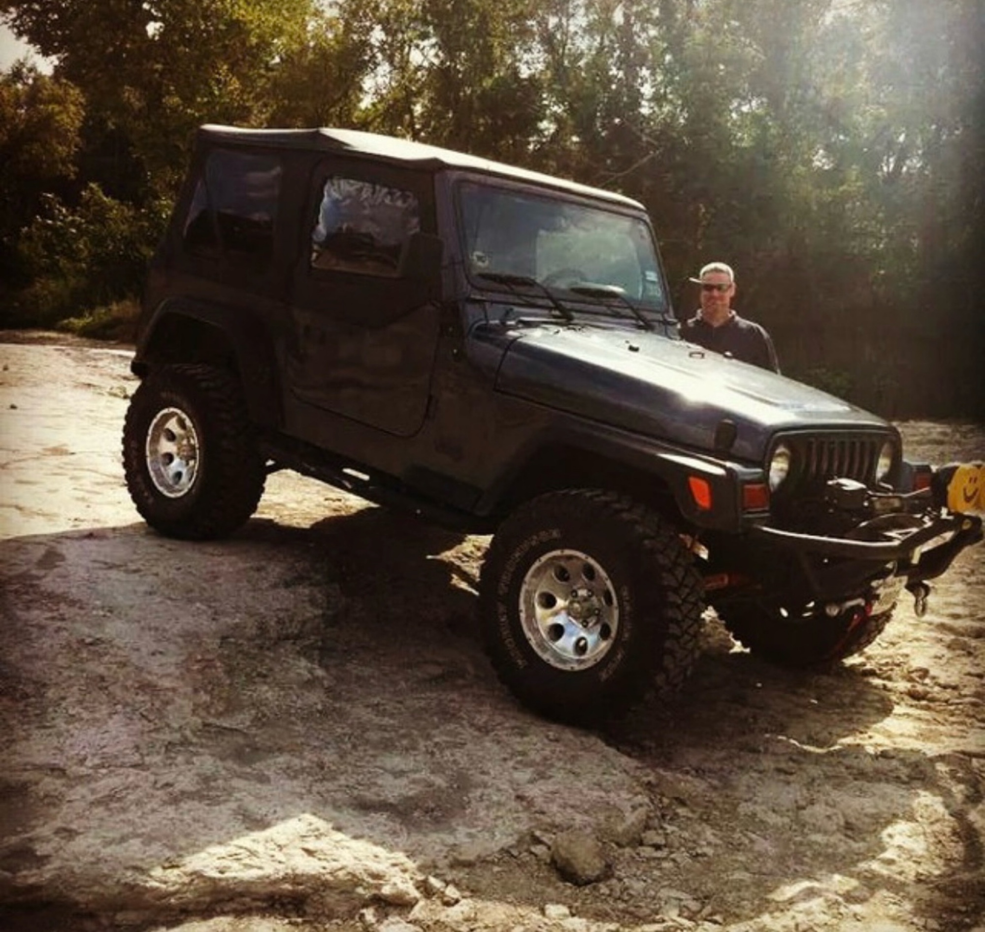
Didn’t use 4x4; easy, beautiful trail. You’ll hit 8100 fr and continue through a gate into a sandy area (if traveling from 82 west of Mayhill) take a left at cargapp and continue up, or take it back t...
J M Woolard
No Rating
Open
Visited: 06/26/2026
According to Agency date data, this trail should be open for the season.
Trails Offroad
Official Crew
No Rating
Open
Visited: 06/26/2026
According to Agency date data, this trail should be open for the season.
Trails Offroad
Official Crew
Rated 4/5
Open
Visited: 06/24/2026
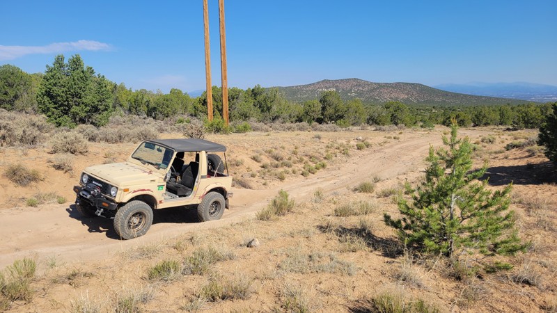
This is the main trail into the Caja Del Rio. Some minor washouts in the summer are normal, but usually don't affect travel.
RG
Remington Gillum
Official Crew
Rated 4/5
Open
Visited: 06/24/2026
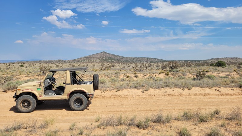
There is some washboard at the bottom, but it is otherwise smooth. The road can become unpassable when muddy.
RG
Remington Gillum
Official Crew
Rated 4/5
Open
Visited: 06/20/2026
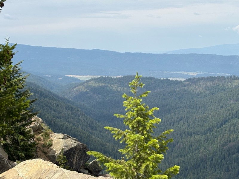
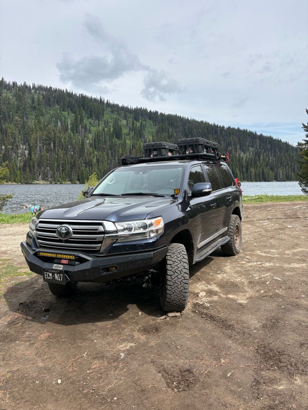
Nice easy and scenic trail. It is pretty washboarded, but not too bad. Very heavily trafficked, but it was a weekend.
Bryan Peterson
No Rating
Partially Open
Visited: 06/13/2026
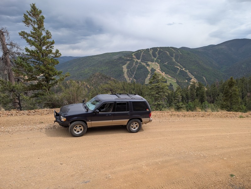
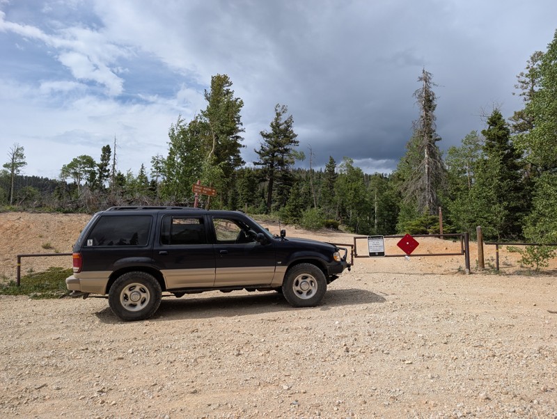
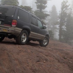
Easy scenic drive. Gate at the top stated the final section to the peak was closed. Worth the drive to escape the tourists in Red River. Easy climb to the top and back down.
Todd Schaffer
No Rating
Open
Visited: 06/13/2026
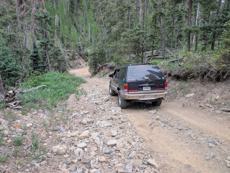
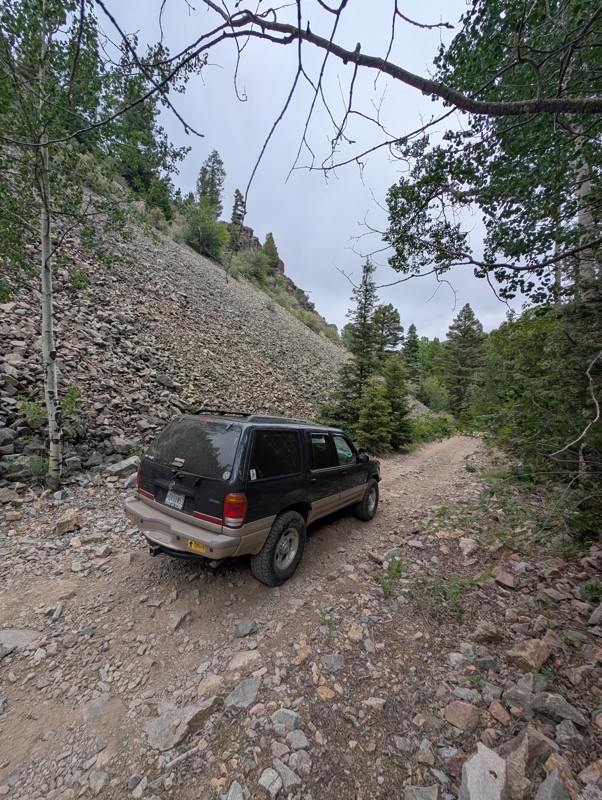
Drove this Saturday afternoon. Short trail ok if you don't have a lot of experience driving off road. Very rocky, watch for sharp rocks if you don't have the right tires. Suggest driving it early in t...
Todd Schaffer
Rated 4/5
Open
Visited: 06/06/2026
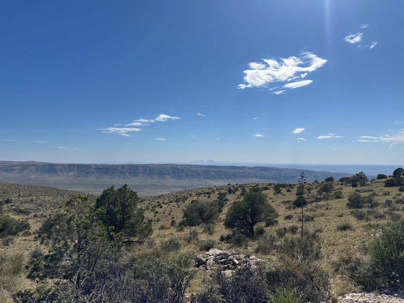
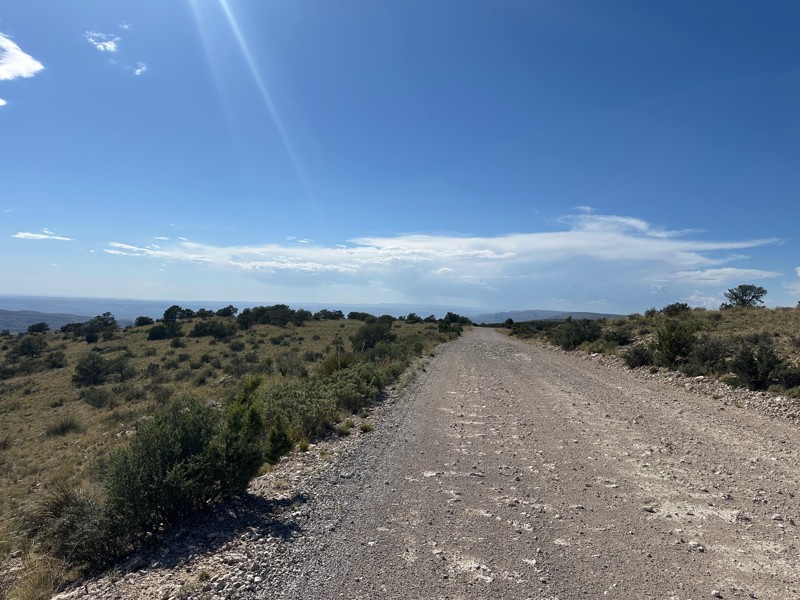
This trail is included in the first part of the New Mexico BDR. Beautiful views off the rim. When the wind in the valley below is above 20 mph, the wind on the rim can reach 50 or 60 mph.

Matthew Cordell
No Rating
Open
Visited: 06/06/2026
Nice ride for beginners. Not too tough and some nice views.
JH
John Hazle
Rated 5/5
Open
Visited: 06/01/2026
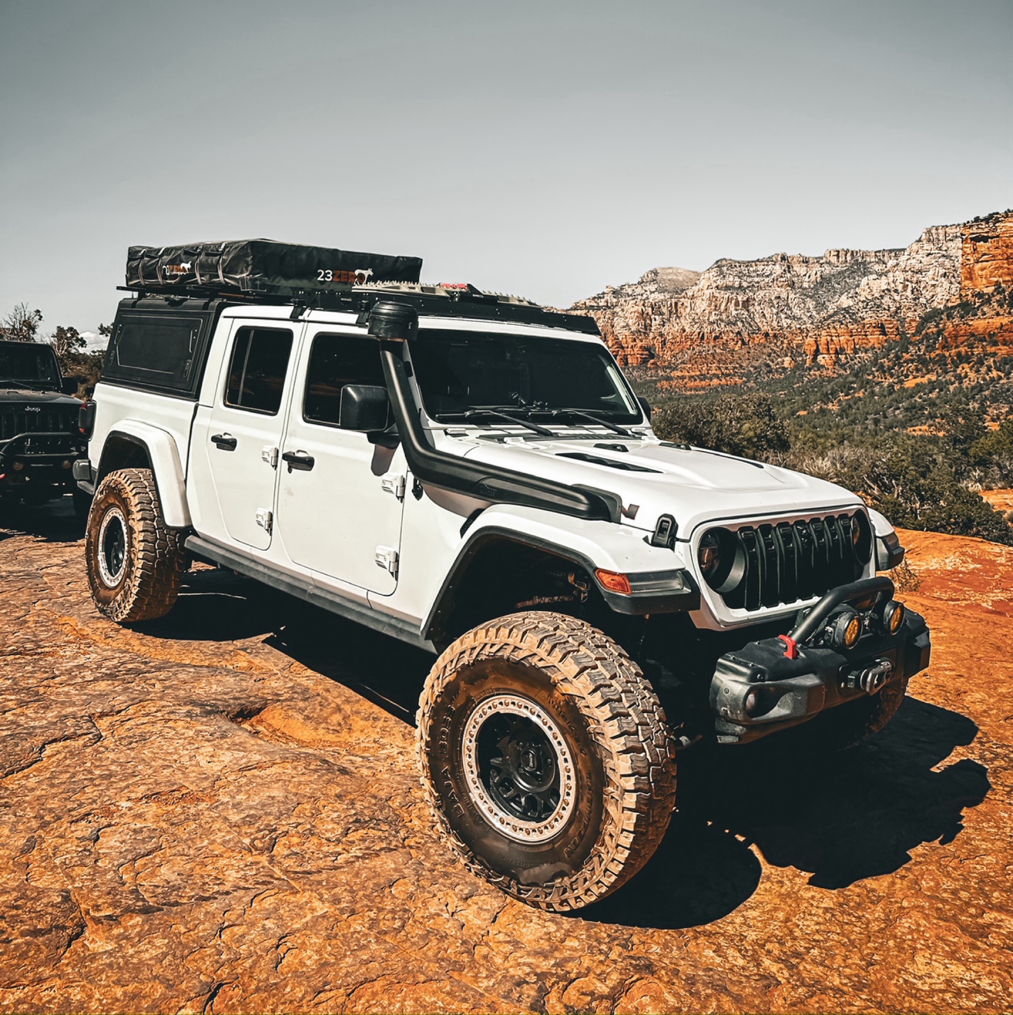
Okay so a few things about this trail, always either start west to east or northeast to southwest, the ruts on this trail over the years have turned it to more difficult on some spots. When going up t...
Francisco
No Rating
Open
Visited: 05/20/2026
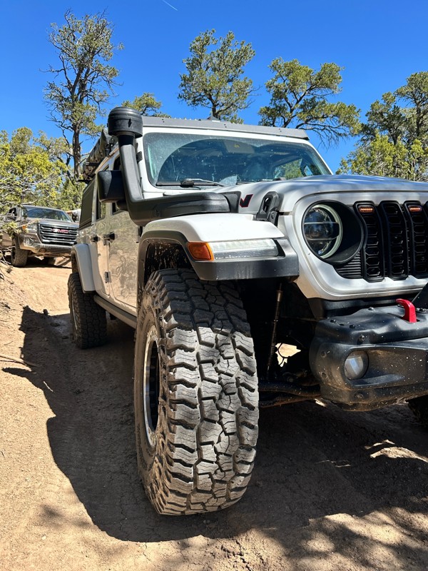
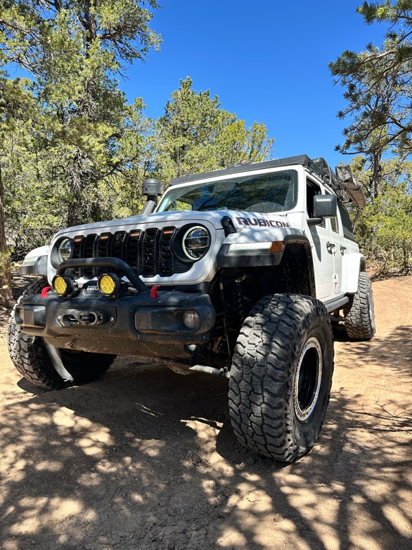
Now open, the obstacles have turned more difficult over the past year or so. Big steps up to 24inches in height, 4wd is definitely recommended and some mud holes that can have up to 36 inches of water...
Francisco
Rated 5/5
Open
Visited: 05/03/2026
The Byway is less washboarded than usual at the moment. There are some steep washouts on both sides of the road in some places so keep your eyes on the road.

Mary Turpin
Mary Turpin
Rated 5/5
Open
Visited: 05/03/2026
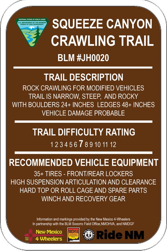
Today was a walking-the-trail encounter with Squeeze. We'd never seen it, and the trail has a reputation with locals for body damage. Much of the trail is typical Gordy's rock crawling fun. The last s...
Mary Turpin
Rated 5/5
Open
Visited: 05/03/2026
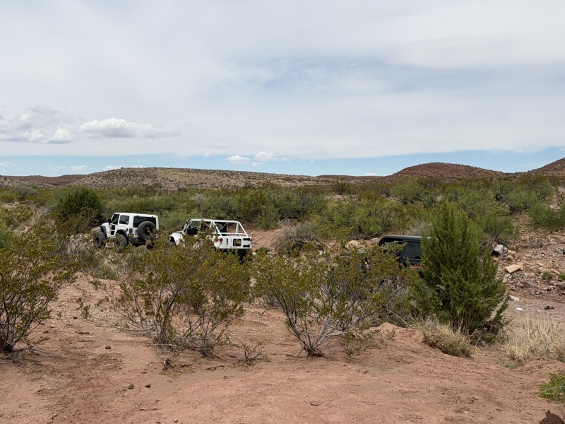
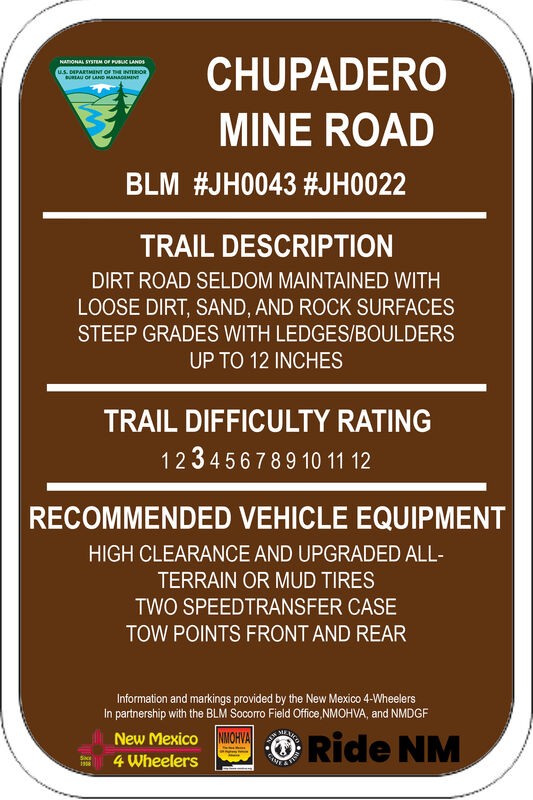
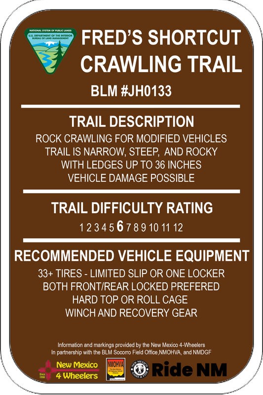
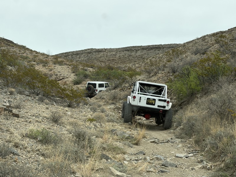
Fred's Shortcut is a fabulous little connector trail within the Gordy's Hill OHV Area. Connecting Upper Amado to Chupadero Mine Road, you can run Lower Amado or Hidden Valley in the morning, and Cat S...
Mary Turpin
Rated 5/5
Open
Visited: 05/03/2026
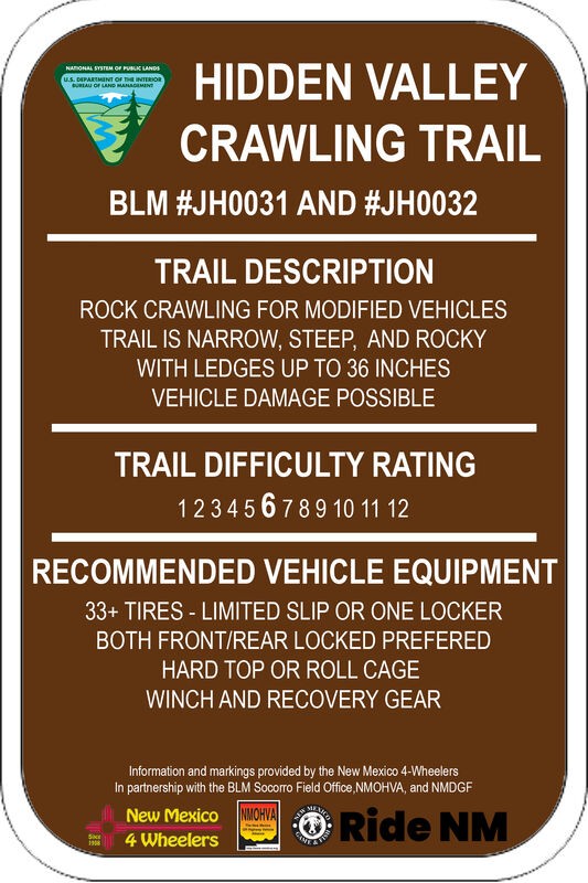
Three New Mexico 4 Wheeler rigs started our day on HV. The gatekeeper is in great shape and easy to climb since the hole at the bottom remains filled in with sand, as it's been all winter. We didn't p...
Mary Turpin
Rated 5/5
Open
Visited: 05/03/2026
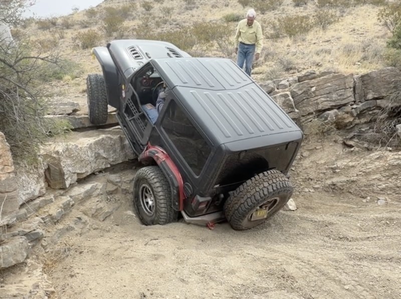
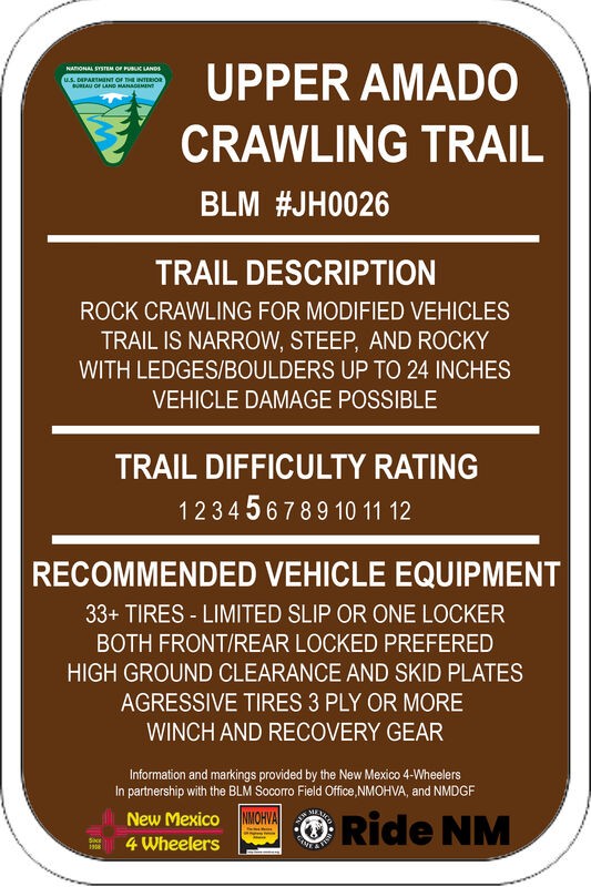
Upper Amado is a fun trail the New Mexico 4 Wheelers and other locals often use as a connector trail to access multiple rock rock crawling trails in the Gordy's Hill OHV Area. Three of us used it to c...
Mary Turpin
Rated 4/5
Partially Open
Visited: 04/11/2026
Blocked by snow about 2/3rds of the way up. Some sections are snow packed at higher elevations. Otherwise muddy, but decent. Trail is very narrow, not a lot of room to turn around. Slick sections can ...

Patrick Baldwin
Rated 4/5
Open
Visited: 03/19/2026
A nice experience for our first off-roading experience in our new Outback Wilderness. Nothing too challenging, mostly some deep ruts and shallow streams that were good easy practice for this type of d...
ZW
Zacary W.F.
Rated 5/5
Open
Visited: 03/16/2026
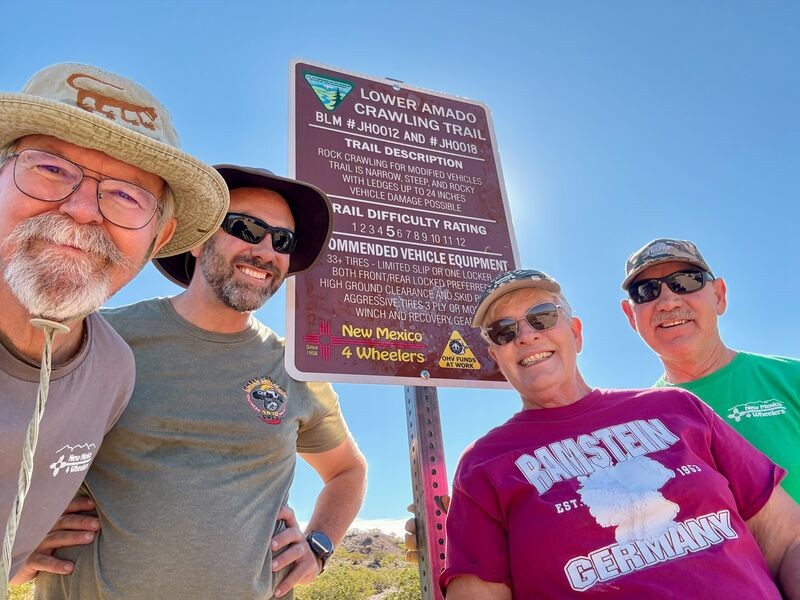
Today is a huge celebration for the New Mexico 4 Wheelers. Lower Amado (formerly Pucker Falls) was named a Jeep Badge of Honor trail today! Our members first walked the desert at the newly-created Gor...
Mary Turpin
Rated 5/5
Open
Visited: 03/14/2026
Arch Canyon is one of our Gordy's Hill OHV Area-home territory trails for the New Mexico 4 Wheelers (www.nm4w.org). I took a crew to do some trail maintenance on the exit end of Arch and holy cow, it'...
Mary Turpin

Scott Mitchell
Official Crew
Rated 5/5
Open
Visited: 03/07/2026
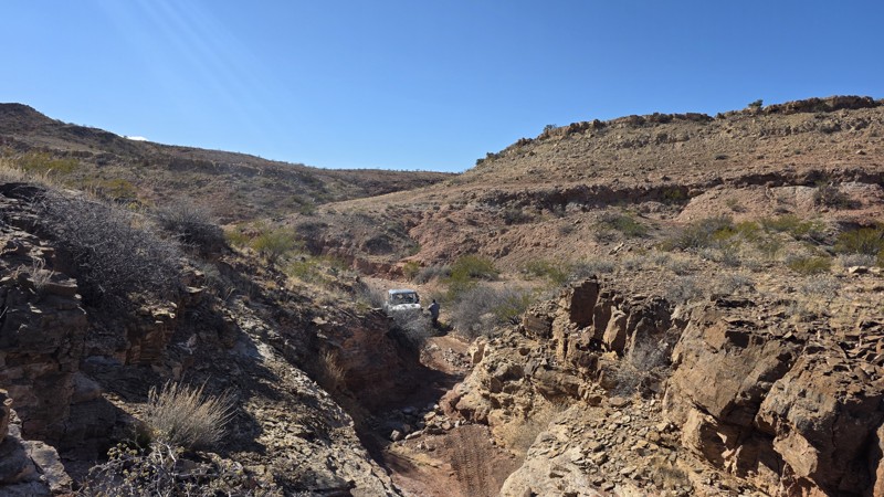
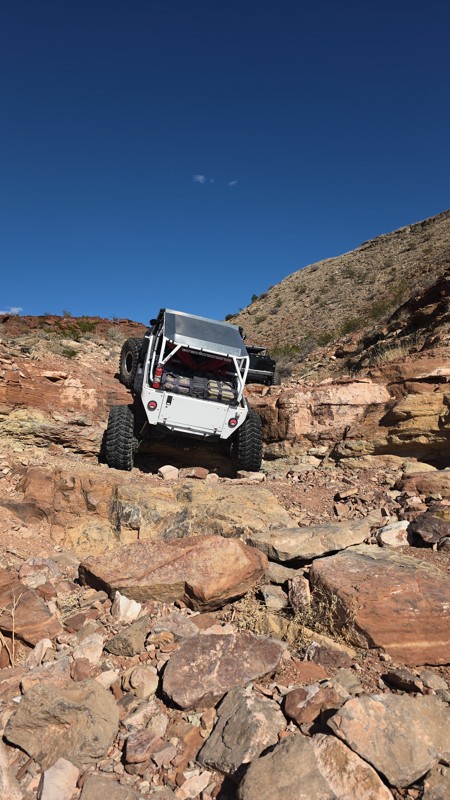
The trail is constantly changing with some obstacles definitely becoming more challenging. Still a solid 9 and always a great time!
Scott Mitchell
Official Crew
Rated 4/5
Open
Visited: 03/07/2026
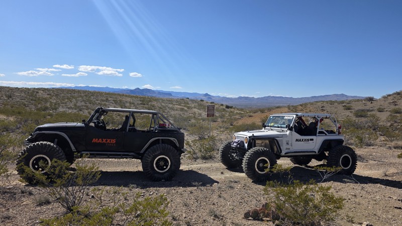
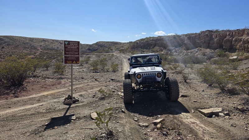
The trail is a bit more rutted between waypoints 5 and 6, and also from waypoint 8 to waypoint 10, but it remains consistent with the rating. It's a great jaunt into the interior of the Quebradas.
Scott Mitchell
Official Crew
Rated 4/5
Open
Visited: 03/07/2026
We ran this one following a trip up Coyote Hills. This trail remains pretty consistent with the trail guide with no noticeable changes.
Scott Mitchell
Official Crew
Rated 4/5
Open
Visited: 03/07/2026
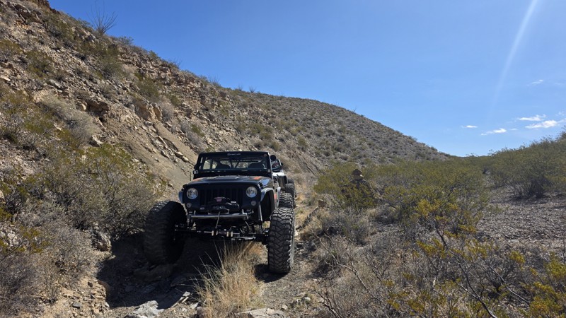
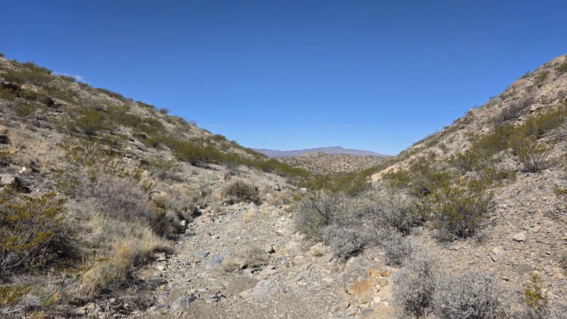
Easy trail for a high clearance 4WD. This is a good trail for making a loop from Bad Hair Day to the upper half of Arch Canyon, which terminates at the Chupadero Mine Road (Minas del Chupadero). It'...
Scott Mitchell
Official Crew
Rated 5/5
Open
Visited: 02/21/2026
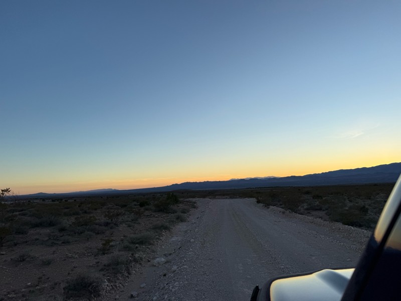
Nice easy drive. A few bumpy spots as to be expected from a dirt road. Beautiful drive through the foothills at sunset.
FM
Felecia Merkel
Rated 5/5
Partially Open
Visited: 01/31/2026
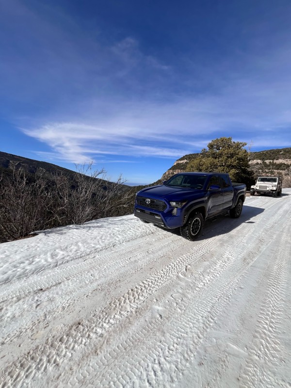
1/2 way up there is a sign that says road is closed and to proceed at your own risk. I had no problems going up this afternoon. I went with a 2nd gen taco TRD Sport totally stock and a ‘98 Wrangler Sa...
T
Tricky_rick
Rated 5/5
Open
Visited: 01/24/2026
NM4W ran Lower Amado going backwards as a last minute addition to explorations on this day. We had done Bad Hair Day and played on parts of Upper Amado earlier in the day, then came up the Causeway an...
Mary Turpin
Rated 5/5
Open
Visited: 01/24/2026
New Mexico 4 Wheelers took 5 rigs on BHD and had a blast! Rains the previous 24 hours made the trail damp, although not muddy. Wet sand allowed normally stable boulders to move as rigs went through, r...
Mary Turpin
Rated 5/5
Open
Visited: 01/24/2026
While most of the trail isn't a problem, it's always the hole at the base of the gatekeeper that is the question. Today it was completely filled in with sand, making the approach & climb a piece of ca...
Mary Turpin
No Rating
Temporary Closure
Visited: 01/17/2026
FR 144 is closed at the west end with a USFS sign that reads "No Motor Vehicles 1/1 - 4/15"
TS
Taylor Smith
Rated 5/5
Open
Visited: 01/10/2026
My club, the New Mexico 4 Wheelers, took 4 rigs on this fun trail on a chilly winter day and had all kinds of fun! Doug's is not a long trail but it is a solid Level 7. Lifts, lockers, and winches wer...
Mary Turpin
Most Popular


Updated: 06/26/2024
Goose Lake
Open
/
Red River, New Mexico/
7.37 miles/
About an hour
Goose Lake is the best known trail in the Red River, NM area. The trail can be full of surprises that can take a seemingly easy trail and offer you challenges. Seasonal changes create fun adventures ranging from easy family favorite water crossings to adrenaline junkie snow wheeling. Immediately you are faced with a drive through the river with depths that have ended more than one adventure before it could start. From the river the trail climbs the mountain which leads to a shelf road with plenty of room for one vehicle, but will make for creative parking when you pass opposing traffic. A "cave" and remnants of mining cabins from the late 1800s and smaller water crossings further the adventure. Reaching the crystal clear lake provides photo opportunities as well as fishing, hiking, or primitive camping. Wildlife like Marmots and Rams can often be seen on the ridge surrounding the lake.

Updated: 03/19/2025
Lake Fork Canyon
Jemez Springs, New Mexico
Some of the finest mountain scenery in the southwest is found in the 1.6-million-acre Santa Fe National Forest, and wheeling on Lake Fork Canyon is a great way to enjoy it. Tall ponderosa pines, aspens, scrub oak, and grassy meadows frame a scenic Jemez Mountain trail that is one of New Mexico's outdoor treasures. As the trail starts out at the historic Gilman Tunnels, the Rio Guadalupe runs alongside the east side of the trail and offers trout fishing adjacent to numerous parking turnouts and picnicking sites. As the trail runs through Lake Fork Canyon in the north, the Rio Cebolla runs along its east side. The Jemez Mountains are very important to the Native American people of the Jemez Pueblo. The Walatowa Visitor Center located near Jemez Pueblo on State Highway 4 is a great way to learn about the rich culture of the area.

Updated: 06/16/2024
Greenie Peak
Red River, New Mexico
Greenie Peak located in the Carson National Forest is the highest peak accessible to motorized travel in New Mexico. Upon reaching the peak you will have sweeping views of the Wheeler Peak Wilderness and also a bird's eye view of the Red River Ski Resort. For anyone touring the Enchanted Circle this high altitude adventure is a must.

Updated: 04/25/2024
Quebradas Backcountry Byway
Open
/
Escondida, New Mexico/
24.16 miles/
About an hour
The first thing an offroad enthusiast will notice upon starting along the 24-mile Quebradas Backcountry Byway is frequent evidence of adventure - tire tracks heading off the main route into arroyos, through ravines and canyons, up hills and out into the desert. So, in addition to amazing geological features and beautiful landscapes, there are countless opportunities to wheel at varying degrees of technical difficulty, making this area a 4WD paradise.
The name Quebradas (Spanish for “breaks”), refers to the numerous arroyos, ravines and cliffs that the trail traverses. This area near Socorro, NM is home to many spectacular geologic exposures. Many of these geologic points of interest have been marked by the Bureau of Land Management with small signs along the way, and even more geology is available to those who venture farther from the road. Photography, rock hounding, hiking, camping, wildlife watching, hunting, cultural sightseeing and backcountry vehicle touring are some of the recreation opportunities available on these public lands.
Driving this trail you'll pass through areas of convoluted badlands, narrow box canyons and near-vertical multi-colored, water-sculpted limestone, sandstone and granite cliffs. At certain times of day, you may see area wildlife including gray fox, mule deer, coyote, bobcat, porcupine, raccoon, ground squirrel, opossum, jackrabbit, cottontail and of course, always be on the lookout for a rattlesnake.

Updated: 05/31/2024
Chamisoso Canyon
Open
/
Tijeras, New Mexico/
5.99 miles/
About 40 minutes
The Manzanita Mountains Trail System provides access to a number of wooded canyons, open meadows and limestone pavements in a multi-use area consisting of hiking, mountain biking, horseback riding, OHV, and 4WD use trails.
The towers atop the 7,767-foot Cedro Peak are visible for miles and they provide an easy point of reference as you explore a landscape where high mountain desert meets forest - pinon pine, juniper, and cedar coexist with yucca, cholla and prickly pear cacti.
Within 15 minutes of Albuquerque and easy access to the clean air of the Cibola National Forest, this trail a natural destination for offroad enthusiasts.

Updated: 06/29/2024
Robledo Loop
Open
/
Las Cruces, New Mexico/
10.88 miles/
About 3 hours
Located at the northern tip of the Chihuahuan Desert, the rugged and beautiful Southern Robledo Mountains are home to the 100th active U.S. National Monument, the Prehistoric Trackways. Robledo Loop is the trail that provides access to most of the area's trails, whether they be for hiking, fossil hunting, or offroading. A full range of what the Monument offers are found along this trail - amazing 360-degree vistas of the Rio Grande Valley and surrounding desert, tall hills, low-lying arroyo bottoms, and access to the many trails in the Robledo Mountains OHV Trail System. Just four short miles northwest of Las Cruces, this network of trails, including extreme OHV and mountain bike trails, is easy to get to and close to all of the conveniences and services of a modern city.
The OHV areas here are separate from the Monument's sensitive fossilized trackway, and motorized vehicle travel is only permitted on designated trails and roads. Official trail signage is well placed and frequent, so it's easy to spot. The Monument includes a major deposit of Paleozoic Era fossilized footprint megatrackways containing footprints of numerous amphibians, reptiles, and insects (including previously unknown species), plants, and petrified wood dating back 280 million years.

Updated: 05/19/2024
4th of July Canyon
Red River, New Mexico
There is a discrepancy between the Motor Vehicle Use Map and the signage along this trail. The MVUM is the legal binding document showing the first half as a 50" and under trail and not legal for full size vehicles, as where the on trail signage states otherwise. Due to the nature of the MVUM being the legal document, we advise that this trail is 50" and under. We are working with the Forest Service to determine if the signage is correct, or if the map is correct.
Old Red River Pass Trail is closed for repair. Forest Road 488 is the only Entrance and Exit for Full Size Vehicles at this time. Remember to Stay on Forest Road 488 as it borders Enchanted Circle Cross Country Skiing Area which are not trails open to motorized use!
4th of July Canyon is a "choose your own adventure style of trail." You can make it as challenging or easy as you want. Photo opportunities abound of the Sangre de Christo mountains and spacious meadows.

Updated: 06/16/2024
Pioneer Creek
Red River, New Mexico
Water, this Jeep trail is for those who like to splash through the water. Situated adjacent to the Red River Ski Resort, the trail will treat you to the benefits of all the snow melt. It is not a long trail but allows you to play in the water, in fact the trail forces you to play in the water! Pioneer Creek steps up the water play by having the creek run directly down the trail for more than a quarter of the length of the trail. With the trailhead located in downtown Red River and being relatively short, it is a perfect trail for those with a tight schedule but a desire to explore the Carson National Forest.

Updated: 06/01/2024
Las Huertas Canyon
Placitas, New Mexico
The drive through Las Huertas Canyon in the Sandia Mountain Wilderness is a popular one due to its close proximity to the Albuquerque Metropolitan Area. In addition to providing an alternate route to Sandia Peak, this trail offers people an escape into a cool pine forest, away from the heat and bustle of nearby cities and towns.
This trail also provides access to two large group picnic sites (Las Huertas and Balsam Glade), limitless hiking opportunities, and the Sandia Cave archaeological site. The Sandia Cave (a.k.a. Sandia Man Cave) is a National Historic Landmark that has played an important role in the history of archaeological thought about the Paleoindian period and Southwestern archaeology. It is located high up on the steep cliff walls of Las Huertas Canyon.
Las Huertas Creek, which is adjacent to the trail, is the only year-round stream in the Sandia Range. The water draws birds and other wildlife to the picnic grounds and surrounding areas. aspen and fir trees surround the trail, providing shade from the sun.

Updated: 06/16/2024
Old Red River Pass
Red River, New Mexico
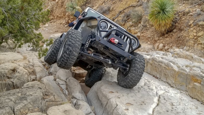
At over a hundred years old, the Old Red River Pass is a trail with some history. This was the only eastern access into the town of Red River until the mid 1960s. Considering the town began to gain popularity as a tourist destination in the 1930s, it is fun to imagine what it was like to travel in the family station wagon down these switchbacks for the annual family vacation. Now the Old Red River Pass is a Forest Road with little maintenance, so high clearance vehicles are required. On the climb up the pass you will encounter spectacular views of the town and the Wheeler Peak wilderness.
Updated: 02/20/2024
Amatista Ledges
Open
/
Dona Ana, New Mexico/
1.84 miles/
About 2 hours
Located at the northern tip of the Chihuahuan Desert, the Southern Robledo Mountains are home to the 100th active U.S. National Monument, the Prehistoric Trackways. Within the Monument's boundaries exists the Robledo Mountains OHV Trail System. Just four short miles northwest of Las Cruces, this network of trails, including extreme OHV and mountain bike trails, is easy to get to and close to all of the conveniences and services of a modern city.
Amatista Ledges and its neighbors are the trails of the original Chile Challenge event. This trail is fun in either direction, and there are plenty of small trees where you might catch a little relief from the desert sun. Ocotillo, prickly pear, yucca, and other native species adorn the trail and sidehills.
The OHV areas are separate from the Monument's sensitive fossilized trackway, and motorized vehicle travel is only permitted on designated trails and roads. Official trail signage is well done and frequently placed, so it's easy to spot. The Monument includes a major deposit of Paleozoic Era fossilized megatrackways containing footprints of numerous amphibians, reptiles, insects (including previously unknown species), plants, and petrified wood dating back 280 million years.

Updated: 02/12/2026
Apache
Tres Piedras, New Mexico
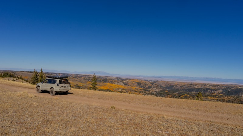
Apache has many different surfaces and conditions across its nearly 44 miles, traveling through the Rio Grande and Carson National Forests along the edge of the Cruces Basin Wilderness. The trail is easy and well-maintained for roughly 25 miles from Highway 285 to the Lagunitas Creek Fishing area. After that point, the trail roughens considerably with rockier surfaces, areas of ruts, and even a large mud pit at roughly mile 29. See the Hardest Part photo. Trail conditions vary from the Lagunitas Creek Fishing area to the Colorado state line, where FR87 becomes FR117 and returns to a well-maintained dirt road.
Dispersed camping is plentiful along this trail, with most campsites being large enough for multiple vehicles. This area is popular among hunters in the Fall. Do not be surprised to see camper trailers, SxSs, and ATVs during this time. The trail on the Colorado side (FR117) is a seasonal road open 05/17-02/29. It is closed in the spring for elk calving season.
On the Highway 285 side, your nearest services are the tiny town of Tres Piedras with the Tres Piedras Ranger Station, post office, and Chili Line Depot restaurant, but no fuel station. At the northern end, travel east on Highway 17 to Horca, CO, and visit the Red Bear Haus for a general store, food and beer, and other services. Overall, your nearest fuel is Antonito, CO, or Chama, NM.
Updated: 01/04/2023
Forest Road 604
Jemez Pueblo, New Mexico
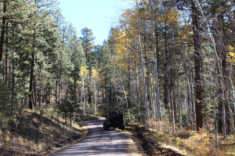
Tall ponderosa pine and aspen frame this forest trail as it gently meanders through the western side of the beautiful Jemez National Recreation Area. Located in the 1.6-million-acre Santa Fe National Forest, the surrounding woods are high, dense and scenic. FR604 is one of only two trails in this area designated as allowing dispersed camping, and its almost endless primitive campsite possibilities offer plenty of privacy.
A short drive from either Los Alamos or Albuquerque, FR604 is a quick destination for scenic family drives, picnics, or camping trips. Nearby, along FR376, are the Cebolla and Guadalupe Rivers, offering laid-back trout fishing that is easily accessible, making it great for young children. Multiple spur roads connect to FR604 for OHV, camping, hunting, hiking, and other recreational uses. There are many attractions in the area, including various hot springs and the Valles Caldera National Preserve, a place of significant geological, ecological and cultural interest.
Updated: 06/20/2023
Chain of Craters
Grants, New Mexico
The Chain of Craters Backcountry Byway is a 33-mile backcountry trail that winds through high mountain desert. Driving this unpaved road along a rift where lava flowed 200,000 years ago and seeing the 30 cinder cones left behind makes for a memorable experience. Located in El Malpais National Conservation Area (NCA) and National Monument in northwestern New Mexico, the byway, which is County Road 42, passes almost exclusively through public lands. The trail forms the western boundary of the West Malpais Wilderness and connects NM 53 and NM 117. The Continental Divide National Scenic Trail, a 3,100-mile trail stretching from Mexico to Canada along the continental divide, intersects with the byway at multiple points. As a land feature, the term El Malpais - "the badlands" - is used locally and in other parts of the southwest to refer to lava flows.

Updated: 06/05/2022
Forest Loop
Placitas, New Mexico
Amidst breathtaking vistas, Forest Loop (FR445) lazily meanders through the northwest corner of the Sandia Mountain Wilderness. Nestled between Sandia Pueblo and the Village of Placitas, this trail winds around in juniper, cactus, sand, and sage as the ridgeline of the Sandias climbs above.
At nearly any point along the trail, one can see for many miles across the Albuquerque Basin and Rio Grande Valley. The region's surrounding mountain ranges, dormant volcanoes, ancient lava flows and mesas are all visible in the distance. A prominent hiking trail off of Forest Loop, Piedra Lisa, provides access to Waterfall Canyon and linked trails leading all the way to the 10,678-foot Sandia Peak.
Whether you want to load up your bike, day pack, picnic basket or just take a pleasant drive through the foothills, Forest Loop is a great destination.

Updated: 06/05/2022
FR 542 - Cibola National Forest
Tijeras, New Mexico
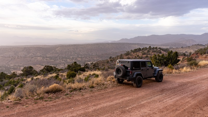
Forest Road 542 is located in the Manzanita Mountains south of Interstate 40 within the Sandia Ranger District of the Cibola National Forest. Just under 15 minutes from Albuquerque, this trail, which is part of the Manzanita Mountains Trail System provides an opportunity to quickly get out of the city and into nature without much fuss. FR542 is relatively easy to traverse and perfect for someone wanting to ease into off-roading and learn to use their 4WD vehicle; however, it also offers optional challenges, including a set of 12”-18” shelves off to the side of one section of the trail for the more adventurous wheeler.
The Manzanita Mountains Recreation Zone doesn’t have an amenity fee and is open year-round. With trails for hiking, bicycling, horseback riding, OHV riding and motorized vehicle use, along with camping, picnic sites and beautiful views from within a fresh pine forest, this area has something for everyone. The Manzanitas Mountains are adjacent to the Manzano Mountain Wilderness. Manzanita is Spanish for “little apple.” The village of Manzano (apple), as well as the mountains, got their name from explorers in the 1700s who noticed very old apple trees growing there – a curiosity to them as apple trees are not native to this country.
Updated: 02/19/2025
Silver Spring
High Rolls, New Mexico
Silver Spring, FR162, is a dirt road that winds through Lincoln Nation Forest near the small mountain town of Cloudcroft. The west portion is just over 6,600 feet in elevation and is primarily a graded gravel road with great views of the desert and valleys below. There are a couple of camping spots in this section.
The forest becomes denser in the central and eastern portions, with more opportunities for camping. The trail gains elevation towards the east end, peaking at over 8,700 feet.
There are no significant obstacles other than the possibility of snow or mud, depending on the season. Several other trails connect to FR 162, including a fire tower overlook on the east side. If camping, there are parcels of private land with signage dotted along this trail.
Camping spot on the west side: (32.97571, -105.82628)

Updated: 06/05/2022
FR13 - Cibola National Forest
Tijeras, New Mexico
The first trail marker you encounter heading south on Forest Road 13 bears an icon of a mountain goat, which is appropriate, because you are about to go for a climb! The northern half of this trail is steep and rocky as you head toward Cedro Peak and an elevation of 7500 feet. Midway through, dense pinon and cedar forest will briefly give way to beautiful long range views of the Manzano Mountains to the south and the towers atop Cedro Peak to the west.
Whether you enjoy wheeling overland, in snow, mud or on rocky inclines, FR13 will have a little bit of each depending on the season. The area boasts more than 300 days of sunshine annually so there is ample opportunity to get out and enjoy this trail and others in the Manzanita Mountains Trail System.
Updated: 03/16/2026
Lower Amado
Open
/
Escondida, New Mexico/
1.59 miles/
About an hour
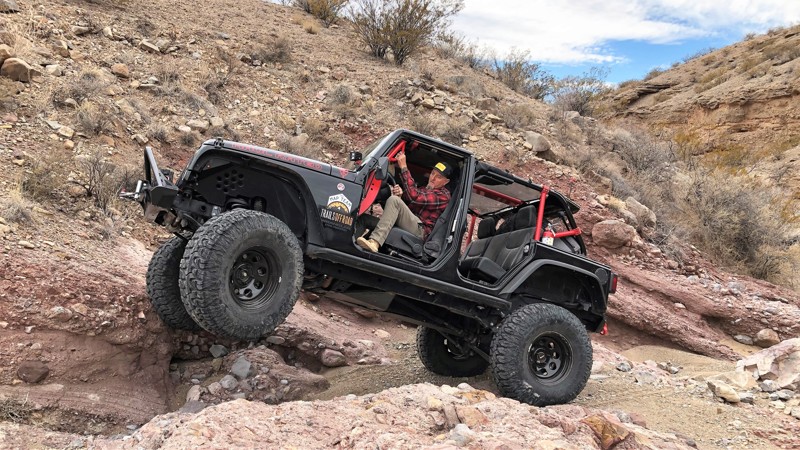
Wheeling in the arroyos of the Quebradas near Socorro, New Mexico is as interesting as it is scenic, and it's always different. With powerful flash floods, each rain reconfigures these arid waterways, such that millions of years of geological history lay exposed all around. Just off of the Quebradas Back Country Byway, Lower Amado runs through a canyon, offering a great assortment of challenges and optional lines to try as it traverses sand, boulders, pilings of sedimentary rock, and intimidating vertical rock escarpments. Though it reaches a high-end rating of 10 (extreme), the first 2/3 of the trail can be completed in a lightly modified 4x4. The rock hounds in your group will be enthralled by the many geological features of this area, and marine fossils abound for those with an eye for spotting them. Maybe best of all, this trail has enough variety that even the most hardcore rock crawlers in your squad will not be bored!
Updated: 05/05/2026
Valles Caldera National Preserve Backcountry
La Cueva, New Mexico
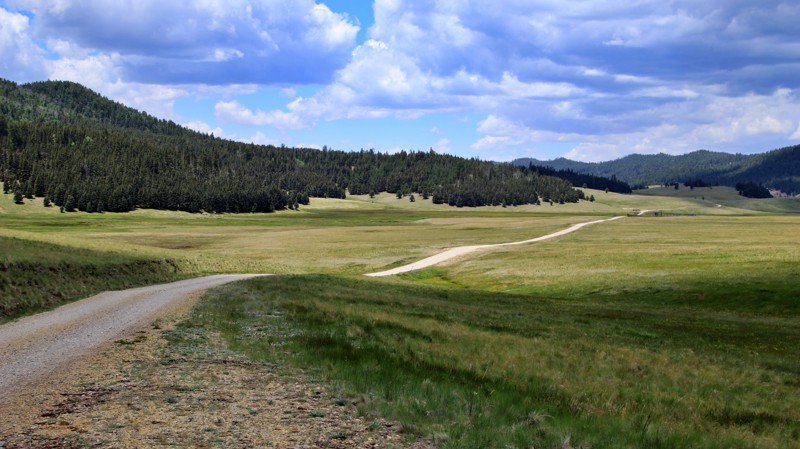
Over a million years ago, a volcano in present-day New Mexico erupted with a force over 300 times the 1980 Mount Saint Helens eruption. Ash fell as far away as present-day Utah. The eruption resulted in a huge caldera, the sunken center of a volcano. Humans since the Paleolithic period have valued this unique high-elevation area of cinder cones and massive prairies. The Ancestral Puebloans referred to the area as the Bear's Paw based on the arrangement of the cinder cones and valleys.
Established in 2000, Valles Caldera National Preserve protects this 88,900-acre unique ecosystem. Visitors are welcome to the front portion of the Preserve in Valle Grande. Most visitors enjoy viewing large elk herds from the many pullouts along Highway 4. New Mexico's elk were hunted out. Imported Rocky Mountain elk now thrive in the Preserve. A mile beyond the visitor center, the cabin area includes ranch houses and hunting lodges from the land's previous users. One cabin was used in the Longmire TV series. Though the program was supposedly set in Wyoming, the rustic cabin and forever views of Valles Caldera were used as Sherrif Walt Longmire.
A limited number of daily backcountry permits available through Recreation.gov allow driving into the stunning backcountry of the preserve. Anglers snag most permits hoping to outwit a wily Longnosedace in San Antonio Creek or the other beautiful brooks winding through open alpine meadows. The easy dirt road winds north through hills dotted with Gunnisson's prairie dog towns and across meadows full of Rocky Mountain Iris. In the far north of the Preserve, the road forks going west to Valle San Antonio and eastward to Valle Toledo. The San Antonio cabin evokes an idyllic cowboy lifestyle. Old ranch roads are closed and are now used as hiking trails to get even deeper into this fantastic landscape.
Camping is not allowed in the Preserve. Jemez Falls Campground is popular and close by. Dispersed camping is permitted along nearby FR 287 in the Santa Fe National Forest.
Updated: 07/02/2026
Three Mile Canyon
Mayhill, New Mexico
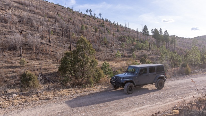
Three Mile Canyon, FR 228, runs 10 miles through the Sacramento Mountains. It is a straight-through trail that connects US Highway 82 with Carr Gap Canyon, FR607.
Most of the southern portion is in a wooded forest, while the northeastern end is rolling hills and valleys. Three Mile Canyon is an ungraded dirt road that may have deep mud holes and ruts with no bypass after significant rain or snow. Cattle freely roam throughout the area with multiple unlocked gates.
There are several spur trails and roads to explore and plentiful dispersed campsites.

Updated: 04/07/2024
Arroyo de la Parida
Escondida, New Mexico
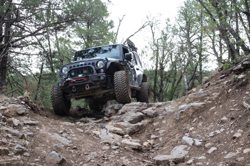
Sandstone bluffs tower above this trail as it winds its way up an expansive arroyo, into the Coyote Hills. The low canyon created by the flash floods that flow through Arroyo de la Parida is very scenic. Traveling along the arroyo floor and seeing tell-tale signs of massive water flows, you can almost forget that you are in the harsh, high desert badlands of the Quebradas.
The Quebradas/Gordy's Hill OHV Area offers diverse recreation opportunities including many trails that traverse deeply dissected canyons, high sandstone and limestone bluffs, terraces, and escarpments. On the higher ridges of the Coyote Hills, there are scenic views of the Rio Grande Valley to the west. There are a variety of 4WD trails here, offering challenges for all experience levels.
Updated: 06/05/2022
FR 12 - Cibola National Forest
Tijeras, New Mexico
The Manzanitas Trail System provides access to a number of wooded canyons, open meadows, and limestone pavements in a multi-use area consisting of hiking, mountain biking, horseback riding, OHV, and 4WD use trails. The towers atop the 7,767-foot Cedro Peak are visible for miles and they provide an easy point of reference as you explore a landscape where high mountain desert meets forest - pinon pine, juniper, and cedar coexist with yucca, cholla, and prickly pear cacti. Within 15 minutes of Albuquerque and providing easy access to the clean air of the Cibola National Forest, this trail is a natural destination for offroad enthusiasts and it's a local favorite.
Updated: 06/05/2022
Rocotillo Rapids
Dona Ana, New Mexico
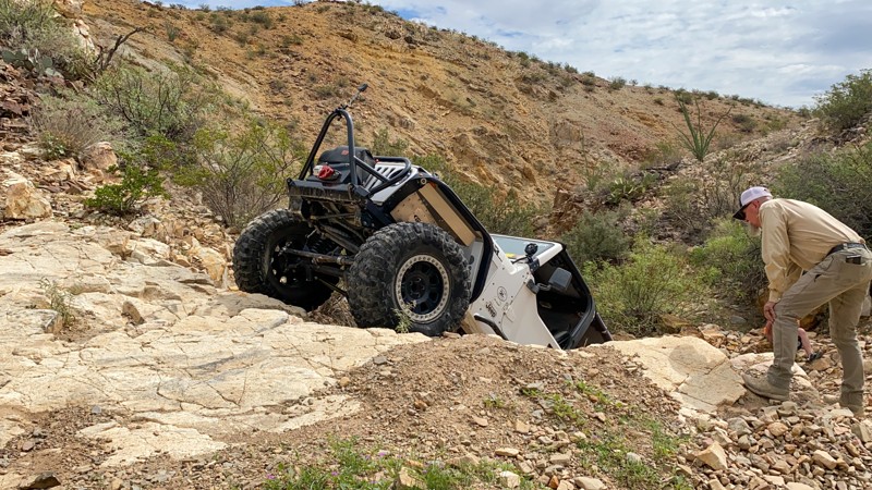
For those about to rock (crawl), we salute you. Rocotillo Rapids is a dramatic desert landscape of rock, bluffs, and hills decorated with ocotillo, prickly pear, yucca, and other native species. This trail is very challenging, but don't let that distract you from enjoying the beauty of the surrounding land. There are many small trees along the trail that will allow you to catch a little relief from the desert sun while you enjoy the scenery and maybe a little picnic.
Located at the northern tip of the Chihuahuan Desert, the Southern Robledo Mountains are home to the 100th most active U.S. national monument, the Prehistoric Trackways National Monument, and the Robledo Mountains OHV Trail System. Just four short miles northwest of Las Cruces, this network of trails, including extreme OHV and mountain bike trails, is easy to get to and close to all of the conveniences and services of a modern city. The trails in this system are the original trails of the annual Chile Challenge offroading event, which relocated further north to the Caballo NM area some years back.
The OHV areas here are separate from the Monument's sensitive fossilized trackway, and motorized vehicle travel is permitted only on designated trails and roads. Official signage for the trails is well and frequently placed, so it's easy to spot. The Monument includes a significant deposit of Paleozoic Era fossilized footprint mega trackways containing footprints of numerous amphibians, reptiles, and insects (including previously unknown species), plants, and petrified wood dating back 280 million years.

Upgrade your Membership
Unlock all of the details on every Trail Guide and Scout Route.
Start a 7-day Free TrialCommunity
Partners

