


By clicking "ACCEPT", you agree to be the terms and conditions of each policy linked to above. You also agree to the storing of cookies on your device to facilitate the operation and functionality of our site, enhance and customize your user experience, and to analyze how our site is used.
Michigan Off-Road Trails
25
Total Trail Guides 14

251
Detailed Waypoints 104
Try a Free 7-Day Trial and unlock it all
Start a Free Trial Most Recent Trail Reviews
Rated 4/5
Open
Visited: 08/26/2026
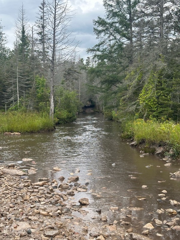
As others have stated, the star is the long water crossing which was a blast. Everything past waypoint 6 is a graded dirt road due to logging, so pretty easy. Took about 15 minutes to run through this...


Daniel Adler
Rated 3/5
Open
Visited: 08/26/2026
Ran this solo this morning in a light sprinkle and other than the MU Nemesis obstacle, there wasn’t much to be challenged. Mix of rocky sections and usual forest trails. Took about 20 minutes to get t...
Daniel Adler
Rated 4/5
Open
Visited: 08/25/2026
Pretty spot on rating. Lift and bigger tires help, but not necessary.

Matt Berg
No Rating
Open
Visited: 08/11/2026
Per the MVUM, the trail is seasonally open. As always, check current fire restrictions/closures before venturing out.

Trails Offroad
Official Crew
No Rating
Open
Visited: 08/11/2026
Per the MVUM, the trail is seasonally open. As always, check current fire restrictions/closures before venturing out.
Trails Offroad
Official Crew
No Rating
Open
Visited: 08/11/2026
Per the MVUM, the trail is seasonally open. As always, check current fire restrictions/closures before venturing out.
Trails Offroad
Official Crew
No Rating
Open
Visited: 08/11/2026
Per the MVUM, the trail is seasonally open. As always, check current fire restrictions/closures before venturing out.
Trails Offroad
Official Crew
No Rating
Open
Visited: 08/11/2026
Per the MVUM, the trail is seasonally open. As always, check current fire restrictions/closures before venturing out.
Trails Offroad
Official Crew
No Rating
Open
Visited: 08/11/2026
Per the MVUM, the trail is seasonally open. As always, check current fire restrictions/closures before venturing out.
Trails Offroad
Official Crew
No Rating
Open
Visited: 08/11/2026
Per the MVUM, the trail is seasonally open. As always, check current fire restrictions/closures before venturing out.
Trails Offroad
Official Crew
No Rating
Open
Visited: 08/11/2026
Per the MVUM, the trail is seasonally open. As always, check current fire restrictions/closures before venturing out.
Trails Offroad
Official Crew
No Rating
Open
Visited: 08/11/2026
Per the MVUM, the trail is seasonally open. As always, check current fire restrictions/closures before venturing out.
Trails Offroad
Official Crew
No Rating
Open
Visited: 08/11/2026
Per the MVUM, the trail is seasonally open. As always, check current fire restrictions/closures before venturing out.
Trails Offroad
Official Crew
No Rating
Open
Visited: 08/11/2026
Per the MVUM, the trail is seasonally open. As always, check current fire restrictions/closures before venturing out.
Trails Offroad
Official Crew
No Rating
Open
Visited: 07/29/2026
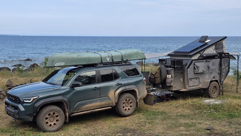
The trail seems to be doable for any type of vehicle, weather dependent. We saw a Ford Fiesta and many regular Subarus out there.
The last few miles after the turn are a moon scape with 30+ vehicle s...


This Tedious Path
Rated 4/5
Open
Visited: 07/22/2026
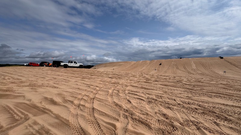
Silver lake is always fun and with enough people around always a little nerve wracking. I give EVERYONE lots of room because you never know who is paying attention to their surroundings. With that in ...


Colin Cole
Official Crew
No Rating
Open
Visited: 06/26/2026
According to Agency date data, this trail should be open for the season.
Trails Offroad
Official Crew
No Rating
Open
Visited: 06/26/2026
According to MVUM data, this trail should be open for the season.
Trails Offroad
Official Crew
No Rating
Open
Visited: 06/26/2026
According to MVUM data, this trail should be open for the season.
Trails Offroad
Official Crew
Rated 4/5
Open
Visited: 06/19/2026
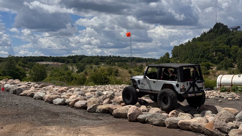
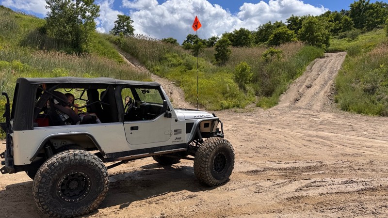
Every time I visit Holly Oaks it is a little bit better! The main loop itself is still easy to navigate so long as you have 4wd but there are steep climbs and descent to explore, narrow paths through ...
Colin Cole
Official Crew
Rated 5/5
Open
Visited: 05/24/2026
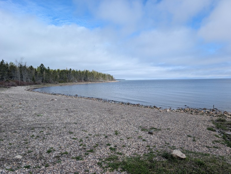
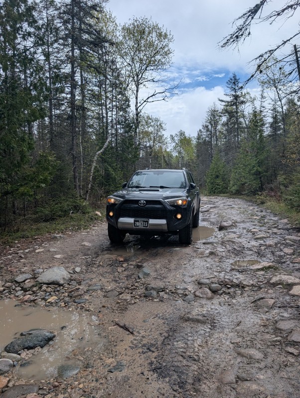
This was a fun trail and really scenic. Would highly recommend. Only one portion of the steps have been "altered" but you still have a rock field to navigate after. I still wouldn't rate as an easy tr...

Blake Ealy
Rated 3/5
Open
Visited: 05/24/2026
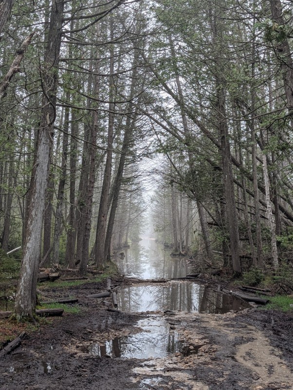
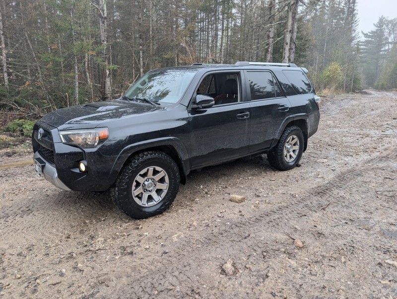
Ran trail from north to south. First couple hundred yards has some rocks. They are logging next to the rest of the trail so the road has been graded. After much deliberation in my head, I did the wate...
Blake Ealy
No Rating
Open
Visited: 05/24/2026
Completed early in the morning and I was the only person on the trail. I took the easiest route (far right) for Nemesis obstacle. Wavepoint 10 was the hardest part for me. Not sure if I could of found...
Blake Ealy
Rated 5/5
Open
Visited: 05/23/2026
Easy trail with a very cool lighthouse at the end. It was open and had access to climb up to the top which was a nice surprise.
Blake Ealy
No Rating
Seasonal Closure
Visited: 03/14/2026
According to this trails management agency, the trail is likely closed for the season.
You can reach out to the agency for more details.
Be sure to leave us a report and let us know ...
Trails Offroad
Official Crew
Rated 4/5
Open
Visited: 01/31/2026
I ran parts of this trail with a group during the Great Lakes Four Wheel Drive Association's Winter Blast event. The trail itself is pretty rough with whoops and alternating chop but airing down and ...


Colin Cole
Official Crew
No Rating
Seasonal Closure
Visited: 11/30/2025
According to this trails management agency, the trail is likely closed for the season.
You can reach out to the agency for more details.
Be sure to leave us a report and let us know ...
Trails Offroad
Official Crew
No Rating
Seasonal Closure
Visited: 11/30/2025
According to this trails management agency, the trail is likely closed for the season.
You can reach out to the agency for more details.
Be sure to leave us a report and let us know ...
Trails Offroad
Official Crew
No Rating
Seasonal Closure
Visited: 11/30/2025
According to this trails management agency, the trail is likely closed for the season.
You can reach out to the agency for more details.
Be sure to leave us a report and let us know ...
Trails Offroad
Official Crew
No Rating
Seasonal Closure
Visited: 11/30/2025
According to this trails management agency, the trail is likely closed for the season.
You can reach out to the agency for more details.
Be sure to leave us a report and let us know ...
Trails Offroad
Official Crew
No Rating
Seasonal Closure
Visited: 11/30/2025
According to this trails management agency, the trail is likely closed for the season.
You can reach out to the agency for more details.
Be sure to leave us a report and let us know ...
Trails Offroad
Official Crew
No Rating
Seasonal Closure
Visited: 11/30/2025
According to this trails management agency, the trail is likely closed for the season.
You can reach out to the agency for more details.
Be sure to leave us a report and let us know ...
Trails Offroad
Official Crew
No Rating
Seasonal Closure
Visited: 10/31/2025
According to this trails management agency, the trail is likely closed for the season.
You can reach out to the agency for more details.
Be sure to leave us a report and let us know ...
Trails Offroad
Official Crew
No Rating
Seasonal Closure
Visited: 10/31/2025
According to this trails management agency, the trail is likely closed for the season.
You can reach out to the agency for more details.
Be sure to leave us a report and let us know ...
Trails Offroad
Official Crew
No Rating
Seasonal Closure
Visited: 10/31/2025
According to this trails management agency, the trail is likely closed for the season.
You can reach out to the agency for more details.
Be sure to leave us a report and let us know ...
Trails Offroad
Official Crew
No Rating
Seasonal Closure
Visited: 10/31/2025
According to this trails management agency, the trail is likely closed for the season.
You can reach out to the agency for more details.
Be sure to leave us a report and let us know ...
Trails Offroad
Official Crew
No Rating
Seasonal Closure
Visited: 10/31/2025
According to this trails management agency, the trail is likely closed for the season.
You can reach out to the agency for more details.
Be sure to leave us a report and let us know ...
Trails Offroad
Official Crew
No Rating
Seasonal Closure
Visited: 10/31/2025
According to this trails management agency, the trail is likely closed for the season.
You can reach out to the agency for more details.
Be sure to leave us a report and let us know ...
Trails Offroad
Official Crew
No Rating
Seasonal Closure
Visited: 10/15/2025
According to this trails management agency, the trail is likely closed for the season.
You can reach out to the agency for more details.
Be sure to leave us a report and let us know ...
Trails Offroad
Official Crew
Rated 5/5
Open
Visited: 10/12/2025
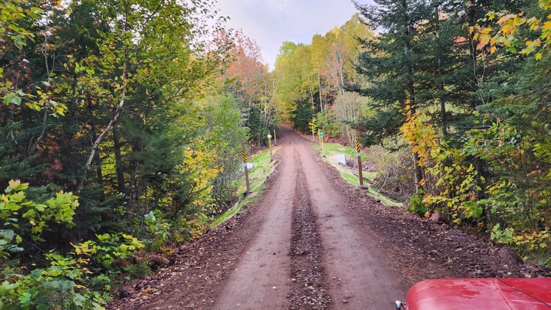
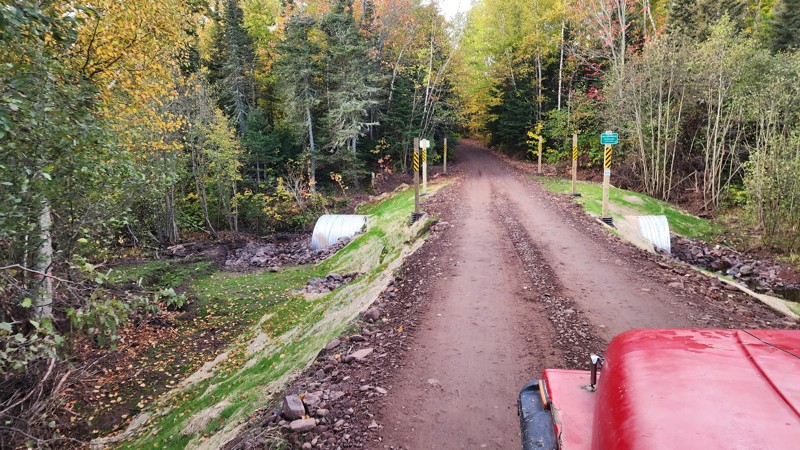
Awesome trail, been on it a few times and still love the views at the end. Recently the main water crossing has been replaced by a land bridge thing. I've added pictures of the new construction.
LL
Liam Lafferty
No Rating
Open
Visited: 09/27/2025
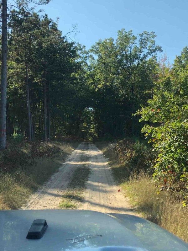
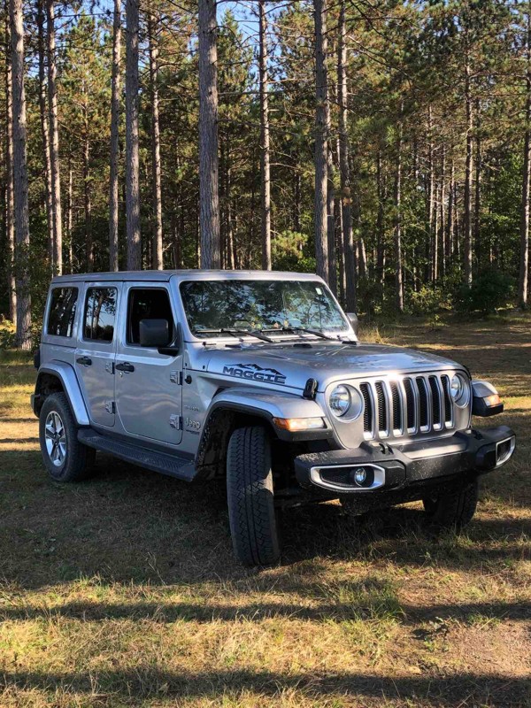
The trail is very nice and sandy. Family and I really enjoyed the time there. Unfortunately we didn’t see any other Wrangler or Broncos, but the trail was full of ATV vehicles. They were very friendly...

Klaus
Rated 5/5
Open
Visited: 08/29/2025
It as a beautiful trail. Just switch your 4x4 to sand and mud at times. You’ll love the light house. I’d go not in a weekend. The parking lot for the lighthouse is crowded..
LC
Lisa Carlson Ingersoll
No Rating
Open
Visited: 08/02/2025
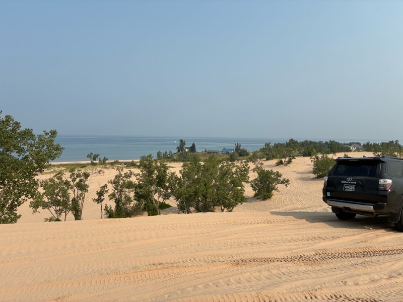
I went to Silverlake for the Ford Bronco 60th anniversary birthday bash, and rally. And what a great time it was. This facility is normally really busy on the weekends, but because of our group funct...


Gregg Easterbrook
No Rating
Open
Visited: 07/12/2025
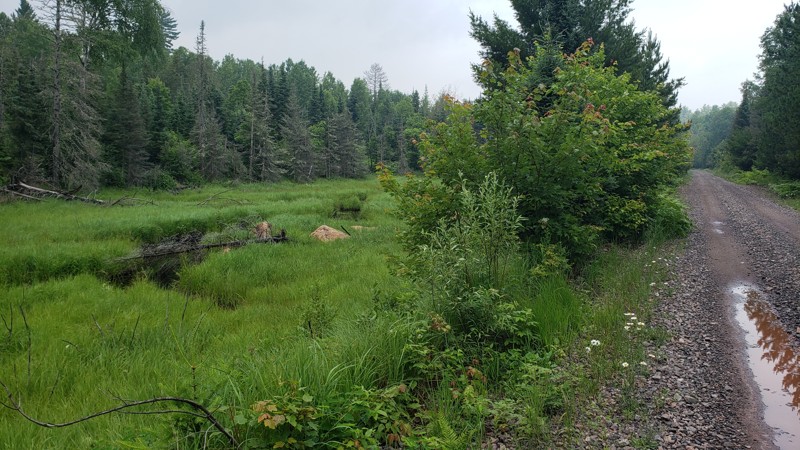
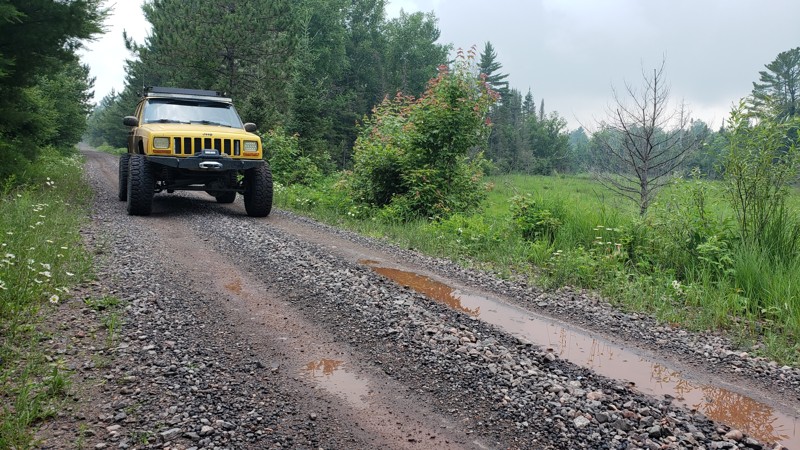
The trail was easy and well-maintained, with a smooth crushed limestone surface that held up well even after recent rain, just a few small puddles along the way. It’s a great route if you're looking t...

Eric Randle
Official Crew
Rated 2/5
Open
Visited: 07/11/2025
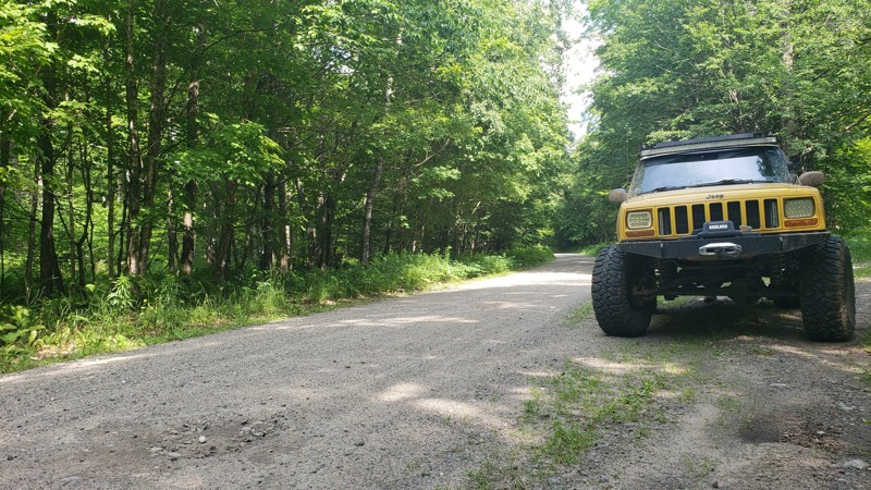
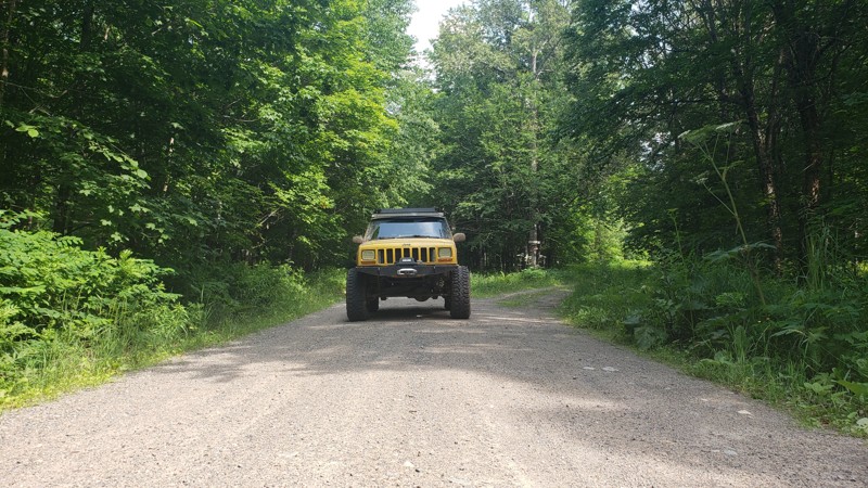
When we drove this road, the weather couldn’t have been better; partly cloudy skies made for some stunning views, especially at the water crossings. One highlight was spotting a beaver dam from a brid...
Eric Randle
Official Crew
Rated 3/5
Open
Visited: 07/11/2025
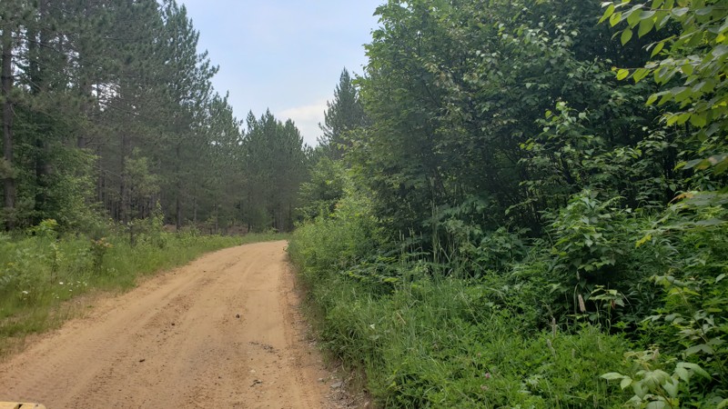
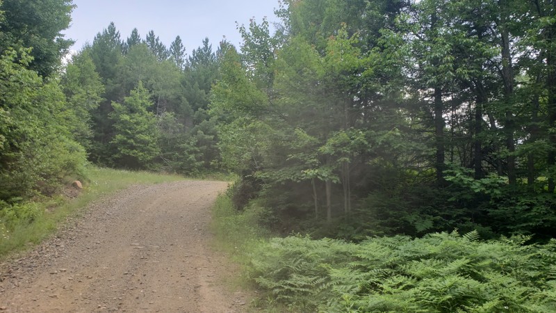
We had great weather during our ride, and the trail was dry and in good condition. However, it was clear from the ruts and erosion in certain areas that this route could be much more challenging after...
Eric Randle
Official Crew
Rated 2/5
Open
Visited: 07/11/2025
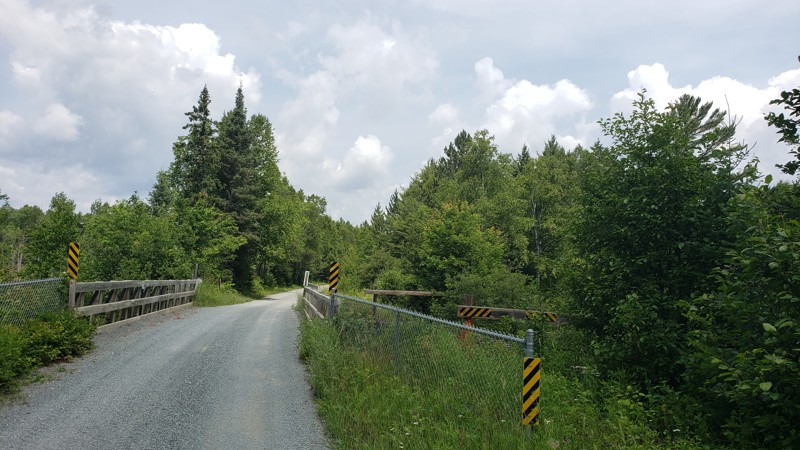
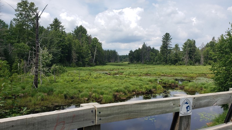
We started this trail in Republic and followed it north to Champion, riding a section of Michigan’s ORV Route C. The trail was smooth, well-maintained, and easy-going for the first half, with nice vie...
Eric Randle
Official Crew
Rated 2/5
Open
Visited: 07/09/2025
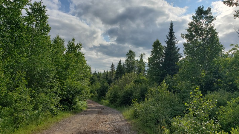
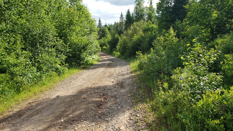
New DNR Road was a pretty easy drive overall. There were a few muddy spots and one section that was close to being washed out, but still passable with a high-clearance vehicle. There’s a small bridge ...
Eric Randle
Official Crew
Rated 2/5
Open
Visited: 07/09/2025
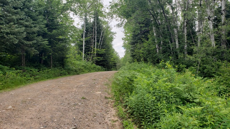
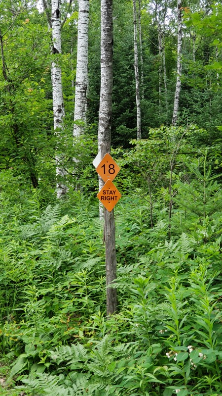
Camp 2 Road is a mellow forest trail that runs through the Crystal Falls State Forest, offering a scenic ride through dense woods and wildflowers. It’s mostly gravel with some muddy patches, puddles, ...
Eric Randle
Official Crew
Rated 2/5
Open
Visited: 07/09/2025
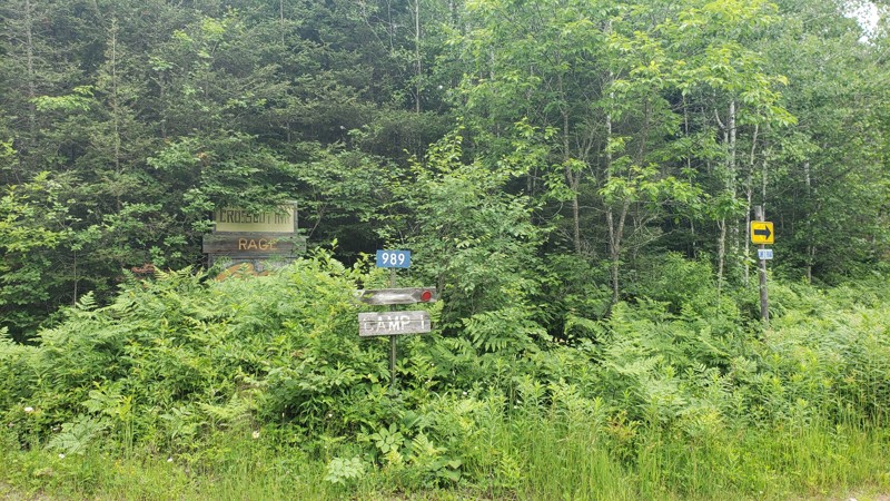
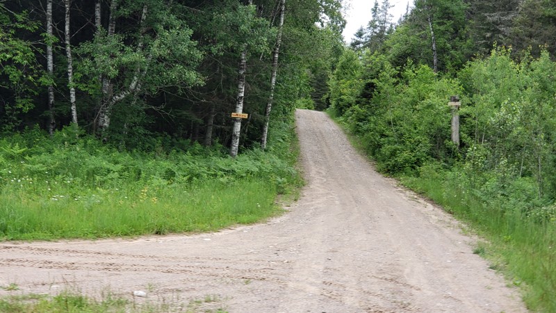
Camp One Road is a quiet forest road that winds through the woods in the Crystal Falls State Forest. It’s not a tough drive, but recent rain has left a few washouts and plenty of puddles to splash thr...
Eric Randle
Official Crew
Most Popular

Updated: 06/07/2023
Naomikong Point
Paradise, Michigan
Whitefish Bay National Forest Scenic Byway leads to many of Michigan's famous "roadside parks and scenic turnouts" that offer beautiful views and excellent lunch spots. While Naomikong Point is not one of those, it's the roadside attraction anyone overlanding across the Upper Peninsula should take in. One of the best-secluded lunch stops or "stretch-the-legs" breaks awaits you on this quick diversion from the Whitefish Bay National Forest Scenic Byway.
Updated: 06/05/2022
Shale Beach Shortcut
Drummond Island, Michigan
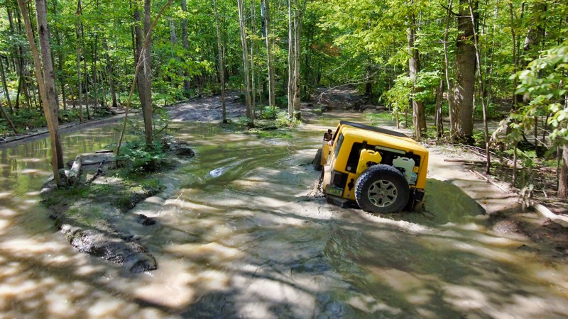
On the south-eastern side of the island, wet weather and seasonal flooding inundate the Shale Beach Shortcut with water. Time and traffic, combined with the regular flooding, have created "Tank Traps," holes large enough to swallow a vehicle. These flooded holes can make it a long day . Get your winch ready and head out here to see if you can get through without using it.
Updated: 06/05/2022
Clear Lake Road
Drummond Island, Michigan
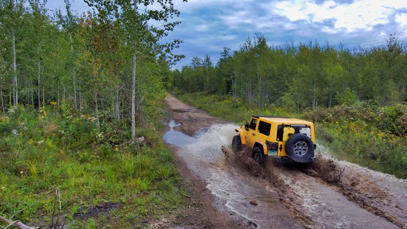
On the south-eastern side of Drummond Island, Clear Lake Road is a mild feeder trail into the system. This side of the island is saturated with water and while this trail doesn’t have any specific obstacles, the muddy and sometimes deep pits can be fun to splash through. New drivers to Drummond Island can get a good taste of some of the more difficult mud on the nearby Marblehead Loop by tackling Clear Lake Road first.

Updated: 08/14/2023
Fisher Road
Rexton, Michigan
The north woods of Michigan's Upper Peninsula can be a remote and lonesome place to visit. Fisher Road goes through the heart of the Sault St Marie State Forest. Trees and water can make or break your day in this dense woodland. Downed trees can force a turnaround or a chance to break out your saw. The sandy-bottomed water crossing adds to the sense of adventure. What will your trip bring? Peaceful serenity? Adventure? There's only one way to find out along Fisher Road.

Updated: 09/30/2023
East Poe Point Road
Drummond Island, Michigan
Drummond Island has many unique features, some easier to get to than others. East Poe Point Road is an easy and muddy dirt road that works it’s way north through the island’s alvars and onto the fossil ledges. The Fossil Ledges on Drummond Island is the fossilized remains of a 450 million-year-old sea bed. If you make your way to the beach, make sure to look and take pictures of the fossils you find but take nothing from the beach and help preserve it for future generations. On top of the fossils that are waiting to be found, Drummond Island has lots of opportunities for adventure.
Drummond Island is 250 square miles packed full of activities for everyone in your group. The island has 13 distinct ecosystems that attract wildlife to match and is a destination for bird watching. If you’re looking for an easy day on the island trails with plenty to see, hop on the ferry and run this with Bruce Point Road and Colton Bay Road to get a taste of the island.

Updated: 10/15/2024
50 1/2 Road
Wedgewood, Michigan
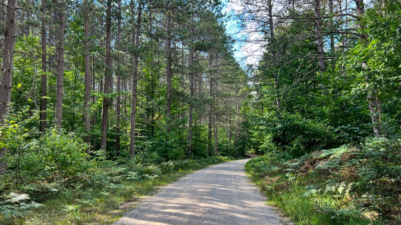
50 ½ Road shares a small portion of 9983. This gpx track encompasses 50 ½ Road on the east and 9983 on the west. The road is gravel and does have sections going through healthy White Pine stands. No dispersed camping opportunities, but there are two State Forest Campgrounds just west of Cadillac, Michigan.
Updated: 10/15/2024
Sterling Truck Trail
Morres Junction, Michigan
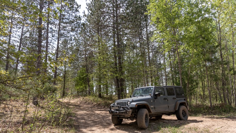
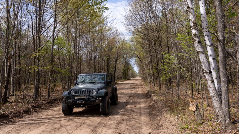
The Sterling Truck Trail is situated in the heart of the Gladwin State Forest. Lined with aspen, oak, and various pine trees, this trail provides a fun experience for nature lovers and off-roaders. This trail connects to numerous two-track forest trails.
While not a technical trail, the sandy terrain can offer a unique challenge for 2WD vehicles. After a heavy rain, the Sterling Truck Trail can morph into a completely different beast. Mud puddles, varying in size and depth, scatter the path, turning a standard journey into a muddy adventure. These naturally occurring obstacles add an element of surprise and excitement, making every trip on the Sterling Truck Trail a unique experience.
There is a large camping spot that could easily accommodate five or six rigs at 44.06119, -84.11771
Updated: 10/15/2024
Center Firelane Trail
Alger, Michigan
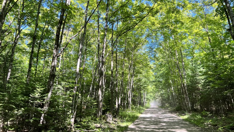
The Center Firelane Trail blends beautiful scenery and access to many miles of forest trails for off-road adventures. The trail offers diverse terrain, with sandy stretches that give way to sections of hard gravel and the occasional mud puddle. The trail has seen active logging activities in recent years, and sections of the trail are flanked by freshly cut timber.
This 10.6-mile trail is nestled within the Gladwin State Forest, a 12000-acre expanse home to many animals, such as white-tailed deer, beavers, mink, muskrats, and dozens of bird species, including sandhill cranes, swans, ducks, geese, and bald eagles.
South of Highway 61, the Gladwin trailhead is a launching point for ATVs and motorcycles. Center Firelane Trail also hosts a short loop called the Gladwin ORV Route, aka "Mosquito Alley." There is an extensive network of unmarked trails that also connect to this road.
Camping in the Gladwin State Forest is abundant. Many dispersed camping opportunities exist, including a wide clearing at 44.03889, -84.19643 that can accommodate a large group.
Updated: 10/15/2024
A Route-MI-123 to MI-129
Kenneth, Michigan
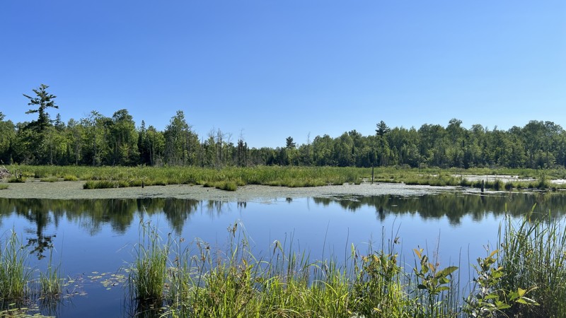
This trail is part of the State of Michigan ORV trail system. This section of the A Route runs mostly congruent with US Forest Service roads in the Hiawatha National Forest. The trail has a narrow overpass where it crosses over I-75. A few miles east of the interstate, the trail runs through Michigan State Forest, and the trail changes to a narrow, winding rough dirt trail that is much more intriguing to negotiate. Following the official A route by the State, it does have a few sections of pavement. A few nice camping spots are available near Bay City Lake. The trail begins at Michigan Highway 123 and ends at Michigan Highway 129.
Updated: 10/15/2024
OC Route North
Lake Mine, Michigan
OC Route North is part of the State of Michigan ORV route system. The OC Route North combines a designated trail, a paved road, and gravel US Forest Service roads. Users must remain on the trail as the trail borders both public and private lands. A Michigan ORV Route System permit is required for all vehicles on this trail. There are a few camping opportunities in the National Forest section.

Updated: 07/07/2022
East Colton Bay Road
Drummond Island, Michigan
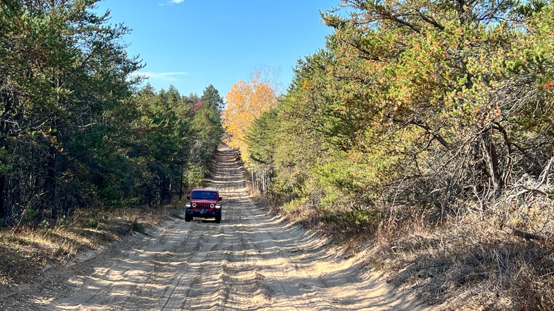
On the northeast side of Drummond Island, East Colton Bay Road is an easy introduction to driving in the dirt on the island. The trail makes its way through the Maxton Plains Alvar Preserve giving you a chance to drive on and see this rare geographic feature up close and personal. Alvars are made up of a thin layer of soil with a limestone base underneath. These limestone portions of the trail almost look like ancient roads peaking out from the ground. Add East Poe Point Road and Bruce Point Road for about a half-day of exploration.
Drummond Island is a 250 square mile island in the Great Lakes that sits right on the border between the United States and Canada. The island’s biggest tourism draw is it’s ATV routes and over 40 miles of ORV trails, many of which you can find detailed here on Trailsoffroad.com. While traveling these trails it’s not uncommon to see wildlife like osprey, blue herons, redheaded woodpeckers, and sandhill cranes. Get your tires a little muddy and explore this protected area of the island via East Colton Bay Road.
Updated: 10/15/2024
St Helen Route North (Center)
St. Helen, Michigan
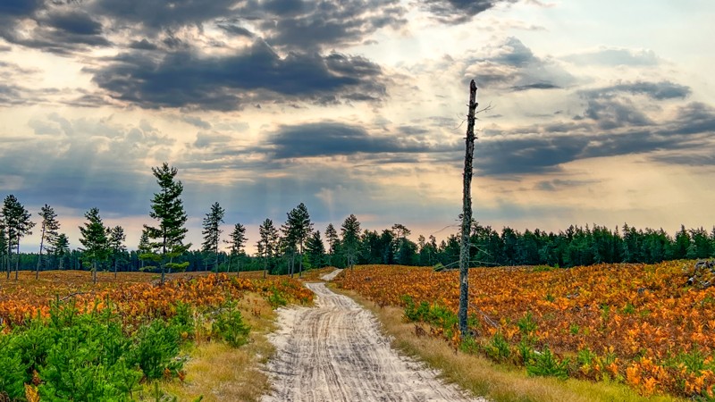
This route runs from a trailhead parking area through a popular ORV area and ends at another trailhead parking area. The moderate rating is due to the majority of the trail surface being made of soft sand that could be difficult for 2WD vehicles to navigate. The southern section of the route runs directly along the side of Saint Helen Road as a wide sand trail maintained for ORV. This is handy if you do not want to air up and drive on pavement. Run this route independently, utilize it as a loop with Meridian Road, or continue to the St. Helen Little Loop trail.
Updated: 10/15/2024
Coast Guard Line Road
Deer Park, Michigan
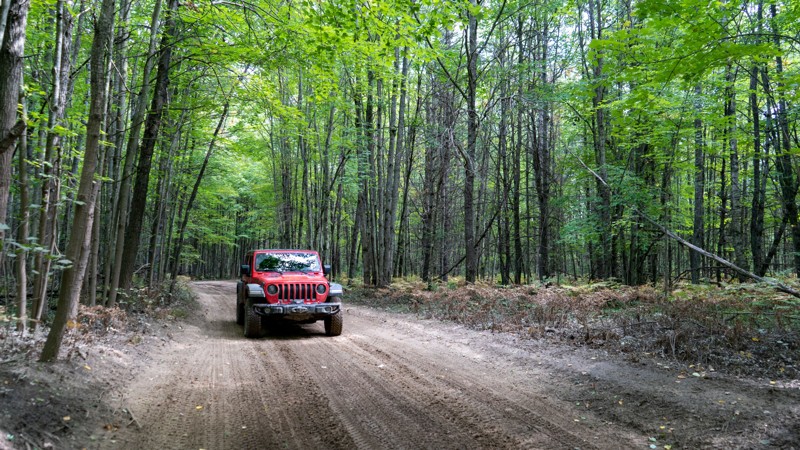
Coast Guard Line Road has a wild feeling as it passes through private property and public land in the Newberry State Forest. The road connecting H37 and County Road 374 is hard-packed dirt, with deep pockets of loose sand and some protruding rock. The sand will make you want to have 4WD. Maps name this and surrounding roads "Coast Guard Line Road." It does appear on the Michigan DNR portal as a legal route. You will get a mix of tall white pines to areas that have been clear-cut during logging operations. There are a few prime spots for dispersed camping, and at each end, there are State Forest Rustic Campgrounds minutes away.
Updated: 03/23/2025
St. Helen to Denton ORV Route
Prudenville, Michigan
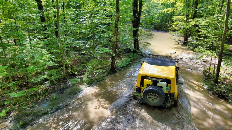
Depicted here, it starts where Emery Road ends and follows the St. Helen to Denton ORV route. It is wetter than Emery Road. Standing water exists with plenty of water holes. The waterholes are fairly firm on the bottom. A few of the side road areas provide potential campsites. Be wary of fast-moving ATV and side by side traffic around the blind curves.
Updated: 09/16/2025
B Route South
Hancock, Michigan
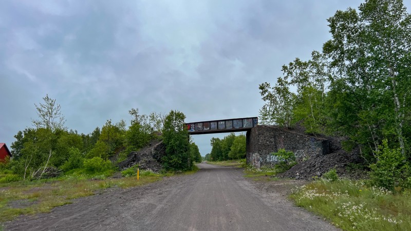
B Route South is a designated State of Michigan DNR route that runs between Houghton and Calumet. It travels an old railroad bed and is well maintained. It originates in Houghton and terminates in Calumet, giving plenty of opportunities to see historic structures from the mining boom. It is open to ATVs, side-by-sides, and motorcycles. A Michigan ORV permit is required on any vehicle using this trail. No camping opportunities.
Updated: 07/17/2022
Stone's Throw
Drummond Island, Michigan
Running parallel to the border between Canada and the United States, Stone’s Throw connects East Marblehead Loop and Shale Beach to the rest of the trails on the island. The trail in this area starts to get very wet as you enter the marsh, leading to some deep water. The short trail isn’t terribly technical, but the muddy and wet road surface makes the trek fun while hopping around this area of the island.
Updated: 07/26/2025
Ponozzo Road
Gibbs City, Michigan
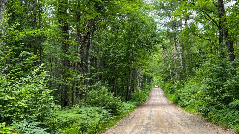
Ponozzo Road starts as a very wide and well-maintained gravel road through a residential area before morphing into a nice, well-maintained road through the Ottowa National Forest. As you drive north, the road comes under the shade of a dense tree canopy. No dispersed camping was found, but a beautiful forest service campground can be had at the end on Perch Lake Road.
Updated: 10/15/2024
FR 3500
Elmwood, Michigan
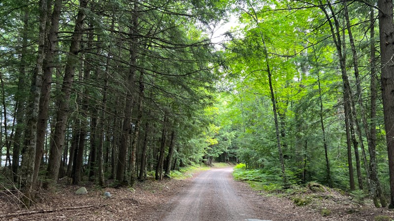
Forest Road 3500 is a graded gravel road near Kenton, Michigan. The road is wide and well-maintained, passing by several small lakes and an old dam structure. Look for camping on the south end where logging roads have been blocked off. The ground is open and flat in those locations. This road is part of the route known as the "7-hour Plane Crash Trail" that goes from Crandon, WI, to the Keweenaw Peninsula in Michigan.
Updated: 10/15/2024
Simmons Woods Road
Corinne, Michigan
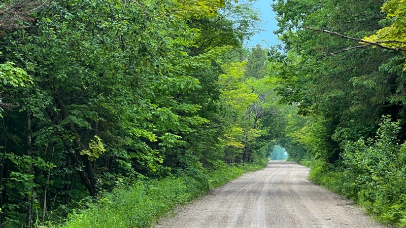
Mostly graded or hard-packed dirt, Simmons Woods passes through private property before entering the Sault St. Marie State Forest. It reaches Duel Lake, a popular spot for anglers and boondockers. Camping locations are near the lake, with two large fields for trailers and RVs. Further down the road, tent campers can find a little more seclusion.
Updated: 10/15/2024
A Route (Western Portion)
Marks, Michigan
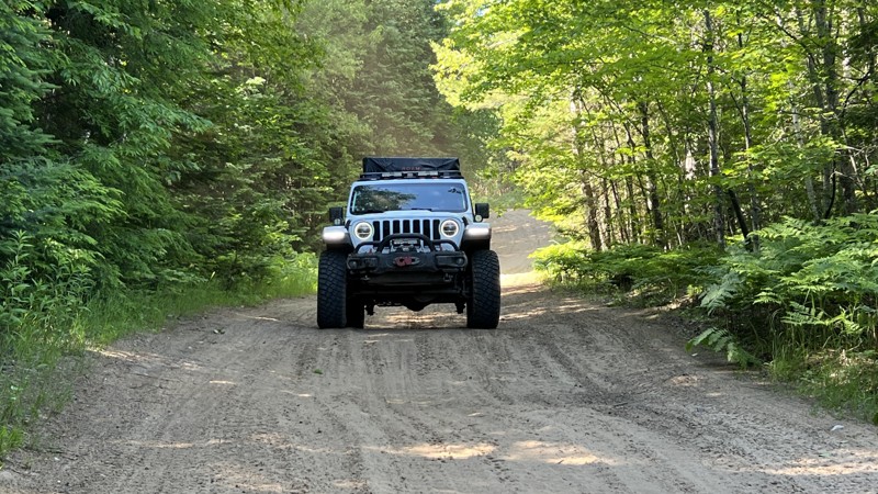
This route follows the western portion of what the Michigan DNR labels as the A Route, which is open to full-size vehicles. Several roads make up this route. The road surface is a mix of gravel, hard-packed dirt, mud, water crossings, and several patches of deep and fluffy sand. Four-wheel drive is recommended. The scenery is diverse and changes from a dense tree canopy to open areas of marshland and logging. There's plenty of camping in the middle portion of the route as well as the eastern. However, the east end is closer to busier paved roads and residences.

Updated: 03/09/2024
East Bruce Point Road
Drummond Island, Michigan
Drummond Island is home to the largest remaining Alvar in North America and East Bruce Point Road is access to the birds that inhabit this rare ecosystem. The trail runs through the Maxton Plains Alvar where you can see Herons, Sandpipers, Brown Thrashers, Savannah Sparrows, and an occasional grouse. This easy road is great for those who want to get a taste of the wildlife on Drummond without getting into some of the more remote and harsher areas of the island.
Updated: 08/11/2026
Highbanks
Strongs, Michigan
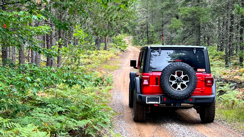
Highbanks' southern end passes by private property and telephone poles, but that quickly gives way to a remote feeling as you look at a narrow hilly road through thick forest, which encroaches the road. Expect standing water after heavy rain or spring melt. Several small hill climbs exist as well. Larger rigs with overland gear hanging off the sides could struggle on this trail. 4WD recommended. No dispersed camping opportunities. Open 4/1 – 11/30
Updated: 10/15/2024
County Road 500
Whitehouse Landing, Michigan
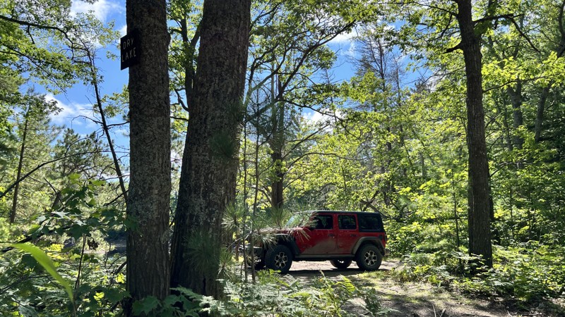
One of the primary roads leading to the beautiful and historic Crisp Point and also The Mouth of the Two Hearted River Area. It is a simple gravel road with a few patches of deep sand. It does offer a good-sized first-come first campground named.Culhane State Forest Campground. Additionally, it does provide a good view of Dry Lakes.
Updated: 10/15/2024
FR 3470
Beechwood, Michigan
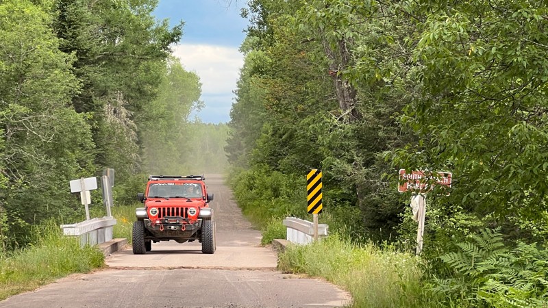
FR 3470 is a long, straight forest service road with little change from beginning to end. In the middle are a few different water features in streams and ponds. Look for wildlife such as deer and turtles. No camping opportunities were found.

Upgrade your Membership
Unlock all of the details on every Trail Guide and Scout Route.
Start a 7-day Free TrialCommunity
Partners

