


By clicking "ACCEPT", you agree to be the terms and conditions of each policy linked to above. You also agree to the storing of cookies on your device to facilitate the operation and functionality of our site, enhance and customize your user experience, and to analyze how our site is used.
Michigan Off-Road Trails
25
Total Trail Guides 14

251
Detailed Waypoints 104
Try a Free 7-Day Trial and unlock it all
Start a Free Trial Most Recent Trail Reviews
Rated 4/5
Open
Visited: 08/26/2026
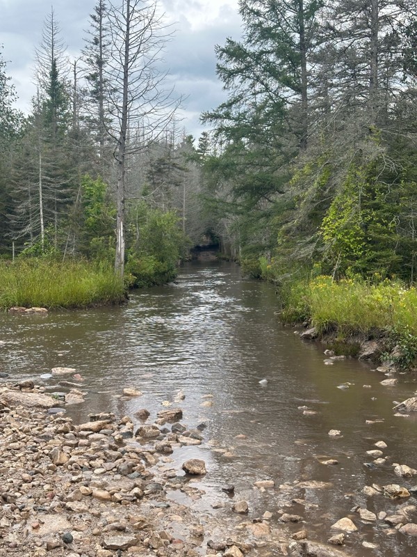
As others have stated, the star is the long water crossing which was a blast. Everything past waypoint 6 is a graded dirt road due to logging, so pretty easy. Took about 15 minutes to run through this...


Daniel Adler
Rated 3/5
Open
Visited: 08/26/2026
Ran this solo this morning in a light sprinkle and other than the MU Nemesis obstacle, there wasn’t much to be challenged. Mix of rocky sections and usual forest trails. Took about 20 minutes to get t...
Daniel Adler
Rated 4/5
Open
Visited: 08/25/2026
Pretty spot on rating. Lift and bigger tires help, but not necessary.

Matt Berg
No Rating
Open
Visited: 08/11/2026
Per the MVUM, the trail is seasonally open. As always, check current fire restrictions/closures before venturing out.

Trails Offroad
Official Crew
No Rating
Open
Visited: 08/11/2026
Per the MVUM, the trail is seasonally open. As always, check current fire restrictions/closures before venturing out.
Trails Offroad
Official Crew
No Rating
Open
Visited: 08/11/2026
Per the MVUM, the trail is seasonally open. As always, check current fire restrictions/closures before venturing out.
Trails Offroad
Official Crew
No Rating
Open
Visited: 08/11/2026
Per the MVUM, the trail is seasonally open. As always, check current fire restrictions/closures before venturing out.
Trails Offroad
Official Crew
No Rating
Open
Visited: 08/11/2026
Per the MVUM, the trail is seasonally open. As always, check current fire restrictions/closures before venturing out.
Trails Offroad
Official Crew
No Rating
Open
Visited: 08/11/2026
Per the MVUM, the trail is seasonally open. As always, check current fire restrictions/closures before venturing out.
Trails Offroad
Official Crew
No Rating
Open
Visited: 08/11/2026
Per the MVUM, the trail is seasonally open. As always, check current fire restrictions/closures before venturing out.
Trails Offroad
Official Crew
No Rating
Open
Visited: 08/11/2026
Per the MVUM, the trail is seasonally open. As always, check current fire restrictions/closures before venturing out.
Trails Offroad
Official Crew
No Rating
Open
Visited: 08/11/2026
Per the MVUM, the trail is seasonally open. As always, check current fire restrictions/closures before venturing out.
Trails Offroad
Official Crew
No Rating
Open
Visited: 08/11/2026
Per the MVUM, the trail is seasonally open. As always, check current fire restrictions/closures before venturing out.
Trails Offroad
Official Crew
No Rating
Open
Visited: 08/11/2026
Per the MVUM, the trail is seasonally open. As always, check current fire restrictions/closures before venturing out.
Trails Offroad
Official Crew
No Rating
Open
Visited: 07/29/2026
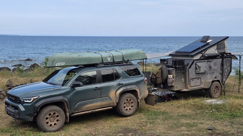
The trail seems to be doable for any type of vehicle, weather dependent. We saw a Ford Fiesta and many regular Subarus out there.
The last few miles after the turn are a moon scape with 30+ vehicle s...


This Tedious Path
Rated 4/5
Open
Visited: 07/22/2026
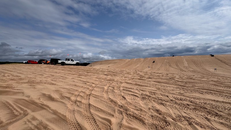
Silver lake is always fun and with enough people around always a little nerve wracking. I give EVERYONE lots of room because you never know who is paying attention to their surroundings. With that in ...


Colin Cole
Official Crew
No Rating
Open
Visited: 06/26/2026
According to Agency date data, this trail should be open for the season.
Trails Offroad
Official Crew
No Rating
Open
Visited: 06/26/2026
According to MVUM data, this trail should be open for the season.
Trails Offroad
Official Crew
No Rating
Open
Visited: 06/26/2026
According to MVUM data, this trail should be open for the season.
Trails Offroad
Official Crew
Rated 4/5
Open
Visited: 06/19/2026
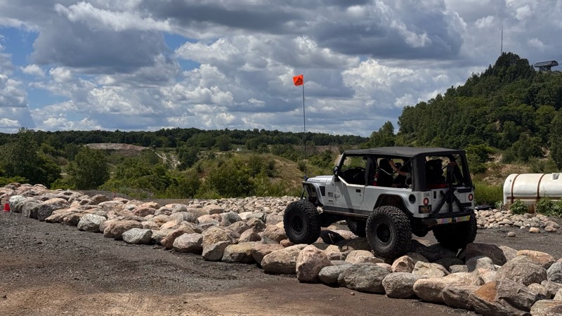
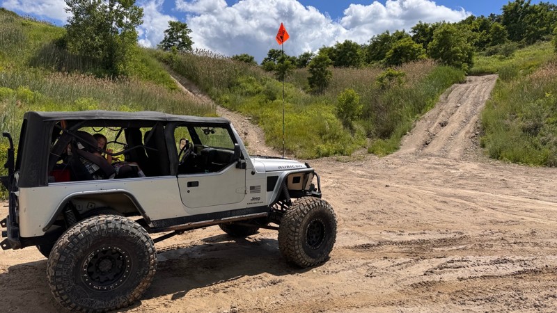
Every time I visit Holly Oaks it is a little bit better! The main loop itself is still easy to navigate so long as you have 4wd but there are steep climbs and descent to explore, narrow paths through ...
Colin Cole
Official Crew
Rated 5/5
Open
Visited: 05/24/2026
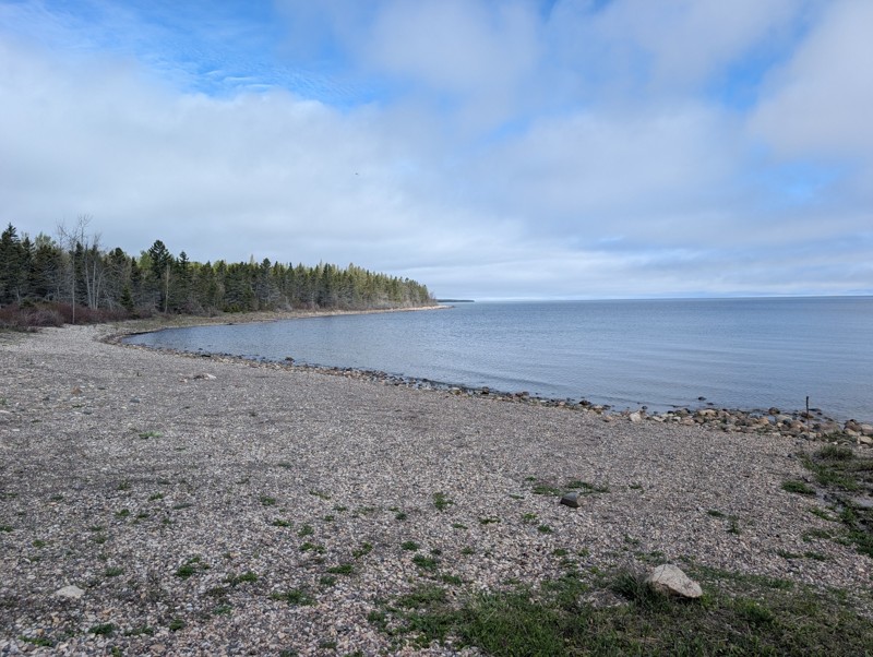
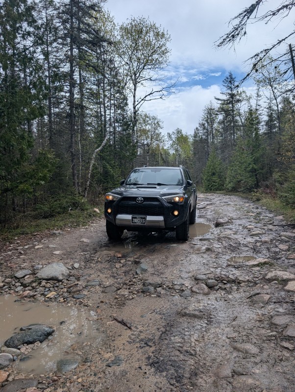
This was a fun trail and really scenic. Would highly recommend. Only one portion of the steps have been "altered" but you still have a rock field to navigate after. I still wouldn't rate as an easy tr...

Blake Ealy
Rated 3/5
Open
Visited: 05/24/2026
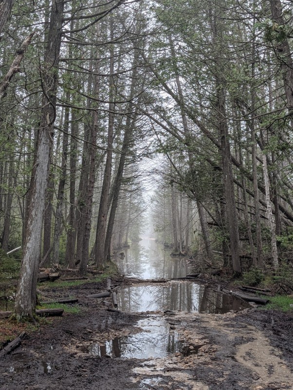
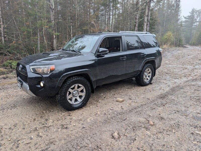
Ran trail from north to south. First couple hundred yards has some rocks. They are logging next to the rest of the trail so the road has been graded. After much deliberation in my head, I did the wate...
Blake Ealy
No Rating
Open
Visited: 05/24/2026
Completed early in the morning and I was the only person on the trail. I took the easiest route (far right) for Nemesis obstacle. Wavepoint 10 was the hardest part for me. Not sure if I could of found...
Blake Ealy
Rated 5/5
Open
Visited: 05/23/2026
Easy trail with a very cool lighthouse at the end. It was open and had access to climb up to the top which was a nice surprise.
Blake Ealy
No Rating
Seasonal Closure
Visited: 03/14/2026
According to this trails management agency, the trail is likely closed for the season.
You can reach out to the agency for more details.
Be sure to leave us a report and let us know ...
Trails Offroad
Official Crew
Rated 4/5
Open
Visited: 01/31/2026
I ran parts of this trail with a group during the Great Lakes Four Wheel Drive Association's Winter Blast event. The trail itself is pretty rough with whoops and alternating chop but airing down and ...


Colin Cole
Official Crew
No Rating
Seasonal Closure
Visited: 11/30/2025
According to this trails management agency, the trail is likely closed for the season.
You can reach out to the agency for more details.
Be sure to leave us a report and let us know ...
Trails Offroad
Official Crew
No Rating
Seasonal Closure
Visited: 11/30/2025
According to this trails management agency, the trail is likely closed for the season.
You can reach out to the agency for more details.
Be sure to leave us a report and let us know ...
Trails Offroad
Official Crew
No Rating
Seasonal Closure
Visited: 11/30/2025
According to this trails management agency, the trail is likely closed for the season.
You can reach out to the agency for more details.
Be sure to leave us a report and let us know ...
Trails Offroad
Official Crew
No Rating
Seasonal Closure
Visited: 11/30/2025
According to this trails management agency, the trail is likely closed for the season.
You can reach out to the agency for more details.
Be sure to leave us a report and let us know ...
Trails Offroad
Official Crew
No Rating
Seasonal Closure
Visited: 11/30/2025
According to this trails management agency, the trail is likely closed for the season.
You can reach out to the agency for more details.
Be sure to leave us a report and let us know ...
Trails Offroad
Official Crew
No Rating
Seasonal Closure
Visited: 11/30/2025
According to this trails management agency, the trail is likely closed for the season.
You can reach out to the agency for more details.
Be sure to leave us a report and let us know ...
Trails Offroad
Official Crew
No Rating
Seasonal Closure
Visited: 10/31/2025
According to this trails management agency, the trail is likely closed for the season.
You can reach out to the agency for more details.
Be sure to leave us a report and let us know ...
Trails Offroad
Official Crew
No Rating
Seasonal Closure
Visited: 10/31/2025
According to this trails management agency, the trail is likely closed for the season.
You can reach out to the agency for more details.
Be sure to leave us a report and let us know ...
Trails Offroad
Official Crew
No Rating
Seasonal Closure
Visited: 10/31/2025
According to this trails management agency, the trail is likely closed for the season.
You can reach out to the agency for more details.
Be sure to leave us a report and let us know ...
Trails Offroad
Official Crew
No Rating
Seasonal Closure
Visited: 10/31/2025
According to this trails management agency, the trail is likely closed for the season.
You can reach out to the agency for more details.
Be sure to leave us a report and let us know ...
Trails Offroad
Official Crew
No Rating
Seasonal Closure
Visited: 10/31/2025
According to this trails management agency, the trail is likely closed for the season.
You can reach out to the agency for more details.
Be sure to leave us a report and let us know ...
Trails Offroad
Official Crew
No Rating
Seasonal Closure
Visited: 10/31/2025
According to this trails management agency, the trail is likely closed for the season.
You can reach out to the agency for more details.
Be sure to leave us a report and let us know ...
Trails Offroad
Official Crew
No Rating
Seasonal Closure
Visited: 10/15/2025
According to this trails management agency, the trail is likely closed for the season.
You can reach out to the agency for more details.
Be sure to leave us a report and let us know ...
Trails Offroad
Official Crew
Rated 5/5
Open
Visited: 10/12/2025
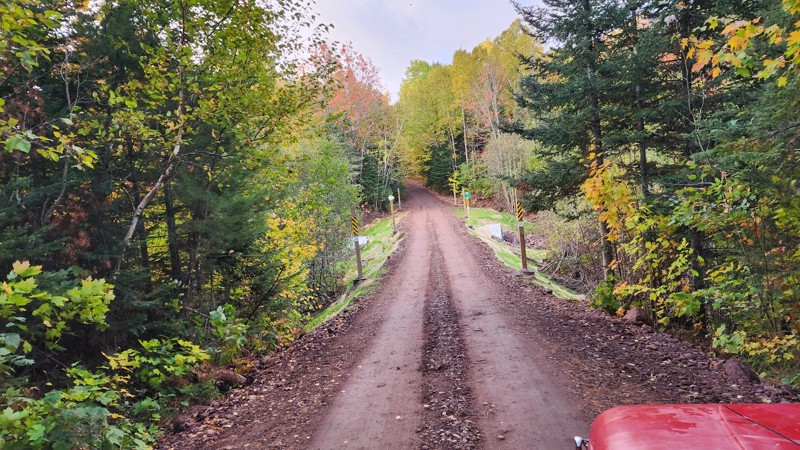
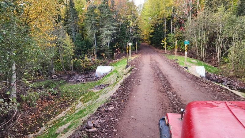
Awesome trail, been on it a few times and still love the views at the end. Recently the main water crossing has been replaced by a land bridge thing. I've added pictures of the new construction.
LL
Liam Lafferty
No Rating
Open
Visited: 09/27/2025
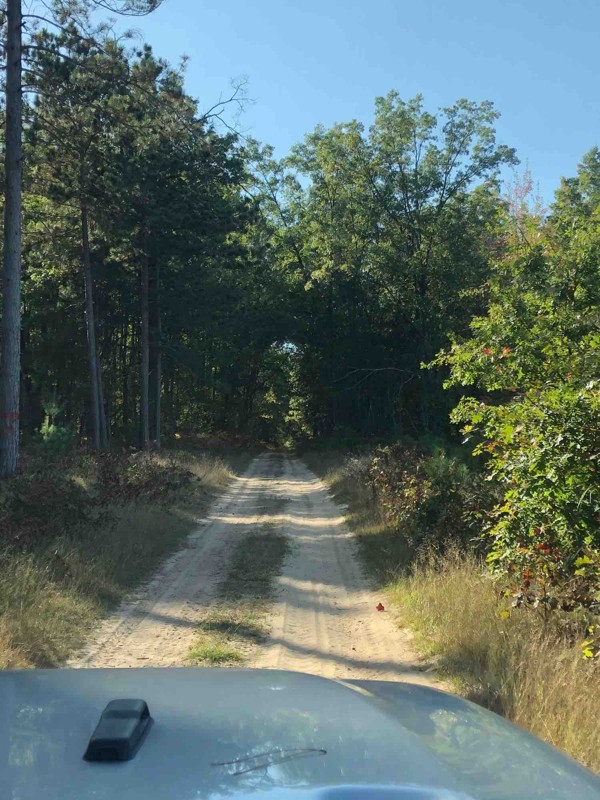
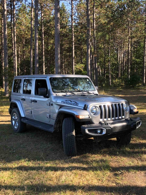
The trail is very nice and sandy. Family and I really enjoyed the time there. Unfortunately we didn’t see any other Wrangler or Broncos, but the trail was full of ATV vehicles. They were very friendly...

Klaus
Rated 5/5
Open
Visited: 08/29/2025
It as a beautiful trail. Just switch your 4x4 to sand and mud at times. You’ll love the light house. I’d go not in a weekend. The parking lot for the lighthouse is crowded..
LC
Lisa Carlson Ingersoll
No Rating
Open
Visited: 08/02/2025
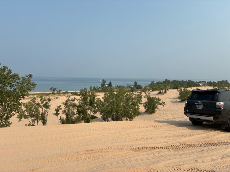
I went to Silverlake for the Ford Bronco 60th anniversary birthday bash, and rally. And what a great time it was. This facility is normally really busy on the weekends, but because of our group funct...


Gregg Easterbrook
No Rating
Open
Visited: 07/12/2025
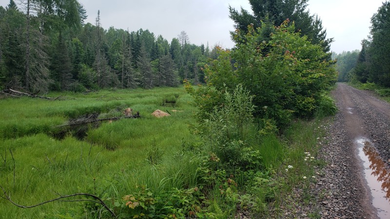
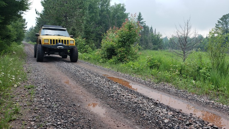
The trail was easy and well-maintained, with a smooth crushed limestone surface that held up well even after recent rain, just a few small puddles along the way. It’s a great route if you're looking t...

Eric Randle
Official Crew
Rated 2/5
Open
Visited: 07/11/2025
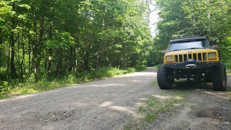
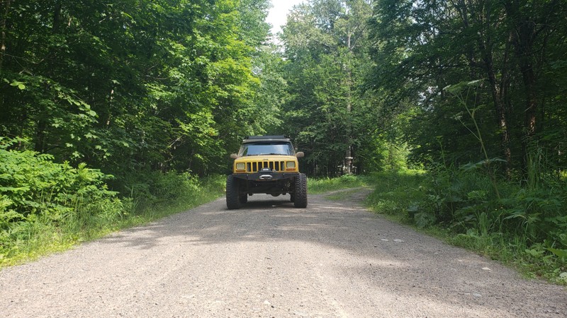
When we drove this road, the weather couldn’t have been better; partly cloudy skies made for some stunning views, especially at the water crossings. One highlight was spotting a beaver dam from a brid...
Eric Randle
Official Crew
Rated 3/5
Open
Visited: 07/11/2025
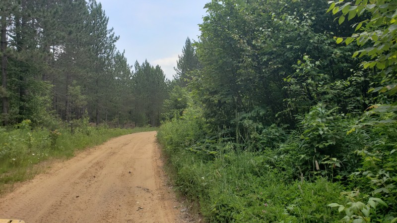
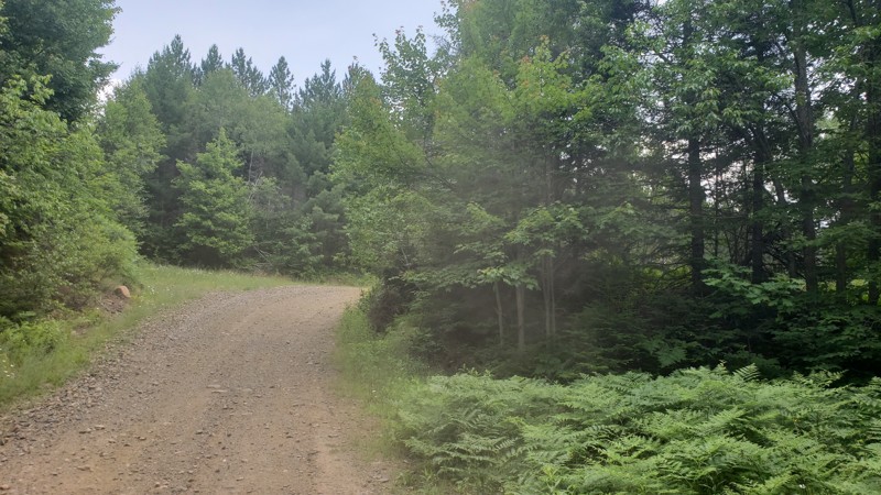
We had great weather during our ride, and the trail was dry and in good condition. However, it was clear from the ruts and erosion in certain areas that this route could be much more challenging after...
Eric Randle
Official Crew
Rated 2/5
Open
Visited: 07/11/2025
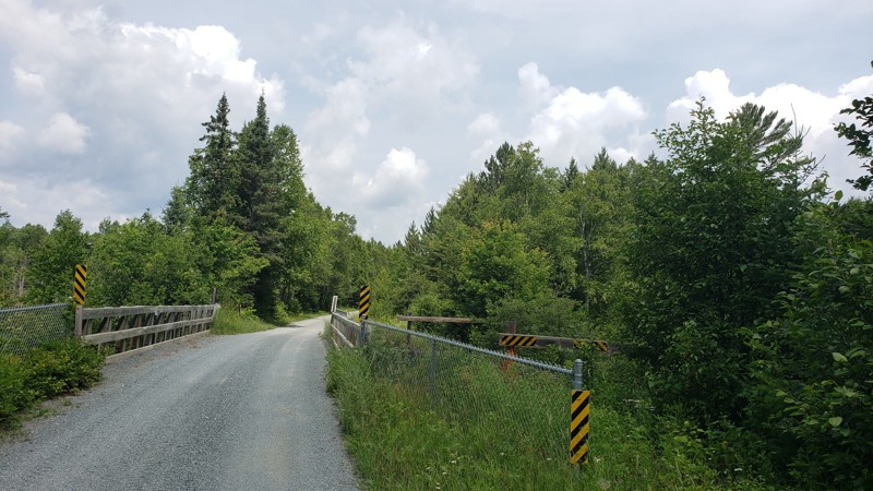
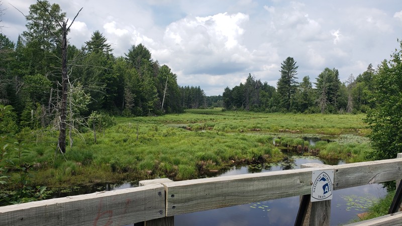
We started this trail in Republic and followed it north to Champion, riding a section of Michigan’s ORV Route C. The trail was smooth, well-maintained, and easy-going for the first half, with nice vie...
Eric Randle
Official Crew
Rated 2/5
Open
Visited: 07/09/2025
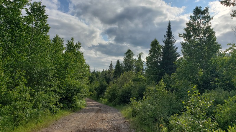
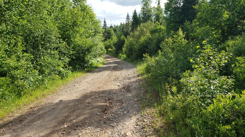
New DNR Road was a pretty easy drive overall. There were a few muddy spots and one section that was close to being washed out, but still passable with a high-clearance vehicle. There’s a small bridge ...
Eric Randle
Official Crew
Rated 2/5
Open
Visited: 07/09/2025
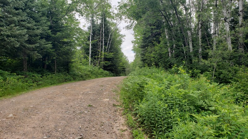
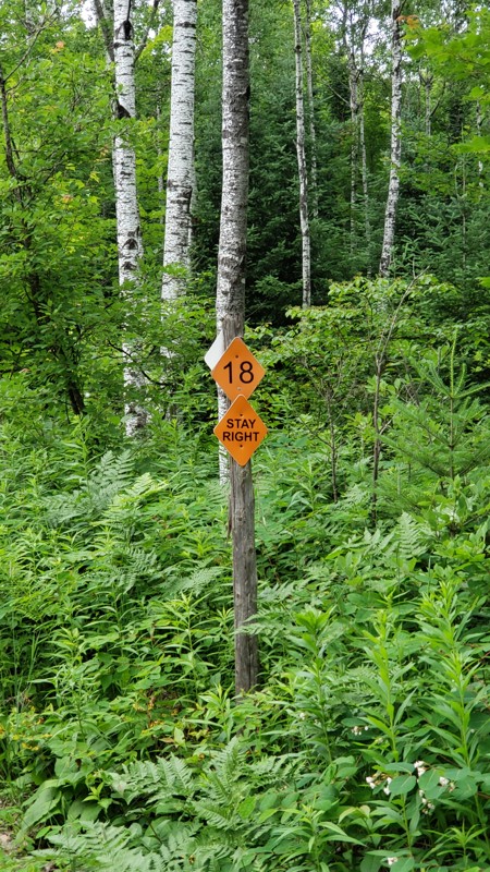
Camp 2 Road is a mellow forest trail that runs through the Crystal Falls State Forest, offering a scenic ride through dense woods and wildflowers. It’s mostly gravel with some muddy patches, puddles, ...
Eric Randle
Official Crew
Rated 2/5
Open
Visited: 07/09/2025
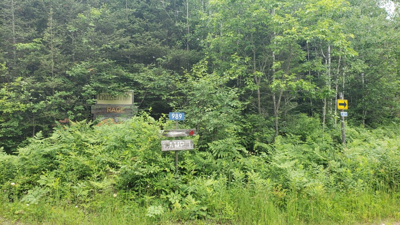
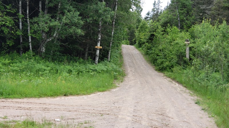
Camp One Road is a quiet forest road that winds through the woods in the Crystal Falls State Forest. It’s not a tough drive, but recent rain has left a few washouts and plenty of puddles to splash thr...
Eric Randle
Official Crew
Most Popular


Updated: 12/15/2023
Holly Oaks ORV Park: Lower Main Loop
Open
/
Holly, Michigan/
2.12 miles/
About an hour
If you were in a desert dying of thirst and found water, you would call it an oasis. If you live in one of the major metro areas of the Great Lakes and found a place to go wheel, you would call it Holly Oaks! Just north of Detroit, Holly Oaks provides a wide range of 4x4 opportunities from mild to wild. The Lower Main Loop is perfect for everyone because you can keep it mellow or tackle Mt. Magna! While you are at it, check in to earn your Jeep Badge of Honor!

Updated: 11/06/2024
Silver Lake Sand Dunes
Open
/
Mears, Michigan/
6.41 miles/
About 2 hours
Lake Michigan has the largest deposit of freshwater coastal sand dunes. At Silver Lake Sand Dunes, you can drive on them! The area for driving covers 450 of the 2,000-acre stretch of dunes sandwiched between its namesake, Silver Lake, and Lake Michigan. Two steep dunes are separated by a more gentle landscape that allows you to pick your adrenaline threshold, ranging from a quick and easy stroll to Lake Michigan or pointing your vehicle straight up with a rooster tail of sand spinning out the back. Grab the tow strap and give it a try!

Updated: 01/06/2025
South Marblehead Loop
Open
/
Drummond Island, Michigan/
4 miles/
About an hour
Winding its way along the eastern shoreline of Drummond Island, Marblehead Road is a perfect taste of all the trails here. While driving through the dense forest there are deep muddy puddles, a few small rock obstacles, and then “The Steps at Marblehead” right before reaching the lookout. This is the only named obstacle and requires a good vehicle and driver to get down and back up. Marblehead sits a little over 100’ feet above the water and the limestone that makes up most of the island is exposed here, creating drama along this shoreline. This limestone is part of what’s known as the Niagara Escarpment, a natural rock formation that stretches for over 900 miles and is actually part of Niagara Falls. Do not miss the Steps at Marblehead or this trail in general, it really is a gem within the trail system.

Updated: 09/16/2022
Emery Road
Open
/
West Branch, Michigan/
10.91 miles/
About 2 hours
Just outside West Branch, Michigan, and situated in the Roscommon State Forest Area, Emery Road is a diverse route that connects to the Houghton Lake Area almost entirely on dirt. Unlike many four-wheel drive roads in Michigan, it offers various landscapes of pines, hardwoods, and open areas, with prime dispersed camping opportunities nestled in between, all without a bunch of mud.

Updated: 05/15/2024
High Rock Bay
Open
/
Copper Harbor, Michigan/
3.05 miles/
About 30 minutes
Your rugged journey on High Rock Bay will yield a fascinating and memorable view of Lake Superior, the largest of the Great Lakes. High Rock Bay is located near the tip of the beautiful Keweenaw Peninsula in Michigan's Upper Peninsula. Significant snowfall and harsh winters allow vehicle access to this far northern gem for only a few months of the year.
Camping on the lake's shore is magically relaxing. The end of the trail offers a view of the Manitau Island Lighthouse. The lighthouse congers up stories and tales about the adventures of mariners who have navigated these waters in times past.

Updated: 06/05/2022
Nemesis
Open
/
Drummond Island, Michigan/
3.06 miles/
About 2 hours
On the west side of Drummond Island and closest to many of the accommodations and resorts is this moderate to difficult trail, Nemesis. This rutted and rocky entrance to the trail network is a challenge on the body and the rig. The trail’s namesake comes from the obstacle at Waypoint 12, Mu’s Nemesis. This steep incline has multiple rocky tracks to the top and no doubt has caused people some trouble over time. Enjoy this muddy and technical run on Drummond that can really test the driver and vehicle.

Updated: 07/18/2022
St. Helen Little Loop
Open
/
Saint Helen, Michigan/
3.52 miles/
About 30 minutes
St. Helen Little Loop is a delightful route through the Michigan State Forest south of the city of St Helen, Michigan. You will be treated to banked sandy curves, deep sandy intersections, and several places where standing water allows a splash through the puddles, all located under a heavy canopy of trees. This trail is easy to find and conveniently located in Michigan's mitten. St. Helen Little Loop can give beginning drivers an excellent area to experience the nuances of vehicle handling while driving through sand, mud, and water.

Updated: 12/15/2023
Holly Oaks ORV Park: North 60 Loop
Open
/
Holly, Michigan/
1.44 miles/
About 30 minutes
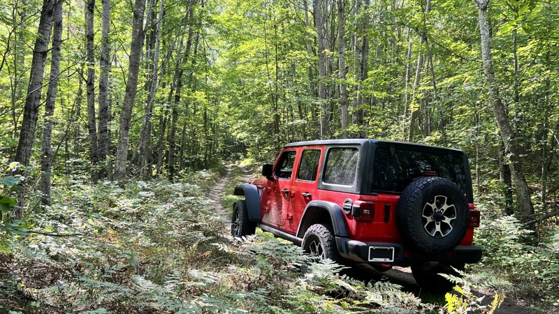
Crisscrossed with old mining roads and extreme terrain features ranging from mud flats to 40-foot vertical cliffs, the North 60 is the newest addition to Holly Oaks ORV Park. Located just north of Detroit, Holly Oaks provides a wide range of 4x4 opportunities from mild to wild. The North 60 is considered a "scramble area" where riders are free to make their own paths. While you are gathering the courage to conquer something never attempted before, make sure to check in and earn your Jeep Badge of Honor!

Updated: 10/15/2024
1000
Goodar, Michigan
Tight and unrefined is the best way to describe this road. The section south of East Hughes Lake Road is very tight, with a few spots for a very small camping setup. Driving north from East Hughes Lake, the road becomes very muddy with patches of standing water. 4WD and recovery gear are highly recommended.

Updated: 05/01/2024
Plywood Camp Road
Drummond Island, Michigan
Finding the history of Plywood Camp is difficult, but this trail will leave a lasting memory you will most likely never forget. It is a challenging drive that will test your skills as you pick your way through. If you make it to Plywood Camp, you are only moments away from brushing. your tires right up to Lake Huron and looking at Canada across the way. This one is a must-do when visiting Drummond Island!

Updated: 09/15/2022
Crisp Point Lighthouse
Open
/
Pine Stump Junction, Michigan/
7.35 miles/
About 3 hours
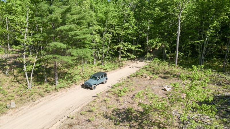
What is there not to like about driving over seven miles on dirt through a tight and twisty emerald green forest only to arrive at a historic lighthouse on the shores of Lake Superior? Crisp Point Lighthouse, named after Christopher Crisp, was constructed in 1903 and 1904 and became operational on May 5, 1904. The 15-acre lighthouse site is prime lakefront and was purchased for only $30! Today is an opportunity to see our maritime history and take in the sights through pristine forests and the coastline.
Updated: 10/15/2024
Tin Cup Springs
Chase, Michigan
Carved out of the northwest lower peninsula of Michigan is the 17.4-mile Tin Cup Springs ORV trail. Located in the Cadillac State Forest, this scenic sandy loop has dense white oak forests, fragrant stands of various pine trees, and ferns that blanket the forest floor.
This well-marked, two-way trail is open to all types of offroad vehicles with a valid Michigan ORV license and trail permit. The single-track Tin Cup Springs Motorcycle trail crisscrosses the ORV trail at several points.
The trail is primarily sand with hard-packed dirt in a few stretches. Airing down tires is wise on this trail. Areas with almost bottomless sand would be difficult for a two-wheel drive vehicle, especially in on inclines.
There aren’t any established campsites along Tin Cup Springs, but multiple unnamed trails throughout the State Forest have spots for camping.
Parking lot with restroom - 43.96169, -85.72108

Updated: 07/17/2022
Sheep Ranch Trail
Drummond Island, Michigan
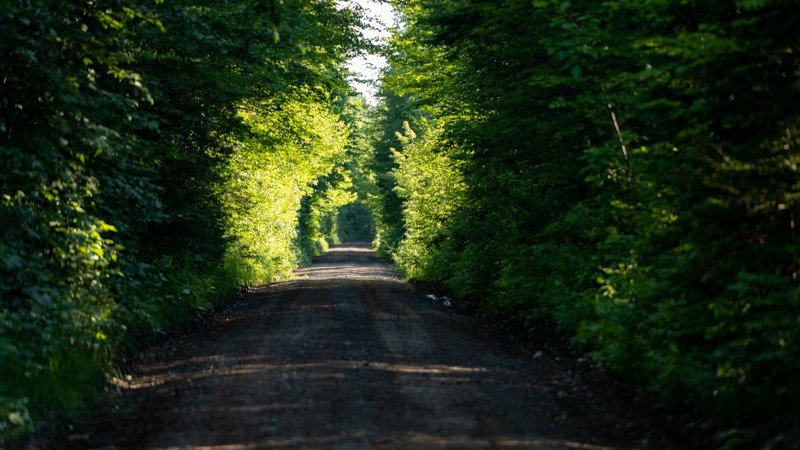
In the middle of the Drummond Island trail system is the mild to moderate Sheep Ranch Trail. This trail is one of the main routes through the island and has long water crossings to get your tires and maybe your doors wet and muddy. The dense forest road has a number of rocky sections to keep things interesting for new and experienced drivers alike. Nevenen's Road, Sheep Ranch Trail, and Glen Cove Road make for a full day of mild offroading on Drummond.
Updated: 09/16/2025
BN Route
Mass City, Michigan
BN Route is a gravel trail that follows an old railroad bed southwest of Houghton, MI. It is part of the Michigan DNR trail system and requires a state OHV license to use. It is also known as the Bill Nicholls Route. The draw on this route is where the trail crosses the three branches of the Firesteel River using old steel trestle bridges. While the bridge structure is steel, the road surface is wood planks, and you can hear them creak and crack as you drive. The bridges are just wide enough for a full-size vehicle and roughly 60' above the ravine and river below. There are minimal camping opportunities along the route, but the trail goes through two small towns with small inns. About 1/2 through, the trail enters Twin Lakes, where there is a state campground and a fuel station. The southern end, right where the trail originates or terminates, depending on which direction you drive is the Adventure Mine. You can take an underground mine tour of a mine that began over 160 years ago.

Updated: 07/09/2022
Glen Cove Road
Open
/
Drummond Island, Michigan/
6.7 miles/
About an hour
Glen Cove Road serves as a primary artery within the Drummond Island trail network. This nearly 7-mile long trail connects the southern part of the island with Marblehead Road, Shale Beach, Stone's Throw and the East Marblehead Loop. Since this trail is a feeder, it is maintained at some level and none of the trail sits below the water line so there isn’t a ton of mud along the way either, but there is plenty to see.
Drummond Island is host to a good size population of animals and is a haven in the area for birds. Sandhill Cranes, Upland Sandpipers, Vesper & Savannah Sparrows, and the occasional grouse can be seen along the way. The island is host to 13 eco-systems and 6 different types of forests. Get a good taste of the island as a whole and don’t take this trail for granted, take your time to enjoy nature and wildlife along it.

Updated: 08/15/2023
Two Hearted Landing
Open
/
Pine Stump Junction, Michigan/
2.25 miles/
About 35 minutes
Suppose you are looking for a great touring route of this area on your way to Crisp Point Lighthouse. Then Two Hearted Landing is definitely what you were looking for. Take in the sights of the Mouth of the Two Hearted River, then engage 4WD and take this road as a more thrilling shortcut over to Crisp Point.

Updated: 07/17/2022
Shale Beach
Drummond Island, Michigan
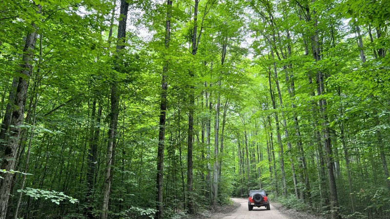
Normally shale rock is sharp and jagged, but millions of years of natural waves against these shores have created nearly 2 miles of pebbled beach. The white round stones make a distinctive sound as the giant natural rock tumbler of waves rolls down the shoreline. This is a great place to stop for lunch or even camp as the views of Lake Huron and Canada are in the distance.
The trail that is Shale Beach isn’t very long but shares traits from its neighbors. While it is mostly dirt throughout, it does have a spot with a deep mud pit and some rocks to be aware of. The trail to this isolated beach may not be that easy, but it is worth it.
Updated: 09/22/2025
Kalkaska North Loop
Bear Lake, Michigan
The Kalkaska North Loop is part of the State of Michigan ORV trail system. It is located west of Grayling, Michigan, and travels through public and private lands. ATVs and side-by-sides heavily use the trail here. The trail is a combination of dirt and sand with a few sections of pavement where it follows existing public roads. A parking area at the start of the trail is well marked and a great place to air down. This trail sees considerable traffic and is heavily used by the ATV and side-by-side community.

Updated: 07/27/2022
Caffey Truck Trail
Rexton, Michigan
Caffey Truck Trail runs through Michigan's Upper Peninsula north woods. The trail is quiet and peaceful, far from the hustle and bustle of city life. But the road lies in an area once busy with mining and heavy logging. Just north of the road's start, a limestone quarry operated from 1905 to 1936. Railroads hauled timber and ore. Today, only a few houses are scattered about. Nearby towns have been reduced to historical memories. Today, hunting, fishing, and off-roading are the main draws for those traversing the Caffey Truck Trail.
Updated: 06/05/2022
East Marblehead Road
Drummond Island, Michigan
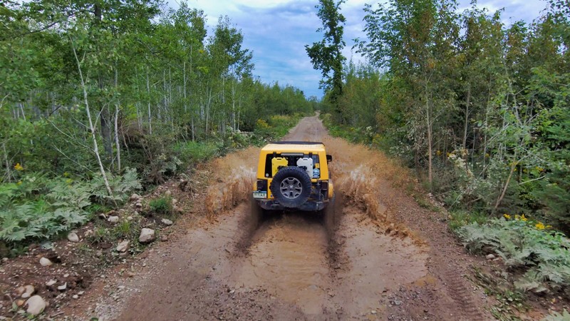
Drummond Island contains 13 separate ecosystems, including this coastal marsh typically inundated with water. Over the years, vehicles traveling through the water have created obstacles and muddy pits throughout this trail, increasing its difficulty. These 'Tank Traps' are large enough holes to swallow a vehicle up to its windows. Traversing this trail when it is soaked can be tricky. Make sure your recovery gear is on hand.
If it is wet, this trail is a test of a rig, its driver, and in some cases, their fortitude. If you are up for the challenge or can't resist a muddy mess, head out to East Marblehead Road and see if you can tackle it.
This road also has access to a number of the rougher trails on this side of the island, including the difficult unnamed trail that travels from the end of this trail to the southeast beach and the difficult ORV trail that runs parallel to East Marblehead Road. Grab a couple of these trails and spend all day testing your rig's capabilities.
Updated: 08/11/2026
Haywire Grade (J Route)
Shingleton, Michigan
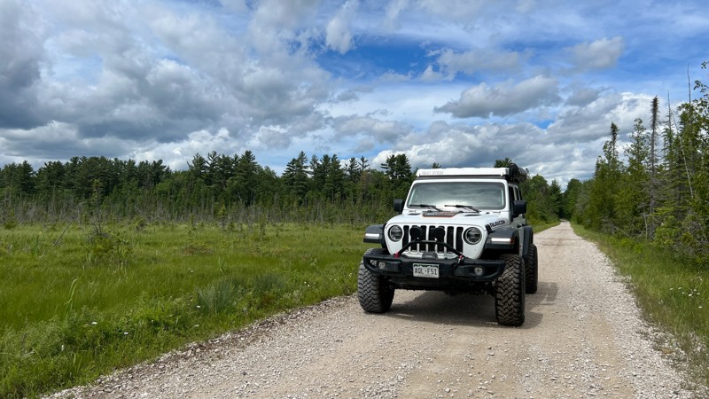
The Haywire Grade, also called the J Route, is a designated full-size route managed by the Michigan Department of Natural Resources. The road is mostly gravel but has mixed sections of sand and hard-packed dirt and an old rail line. It connects the towns of Shingleton and Manistique and connects with the C Route that travels just southwest of Munising. The road travels through thick hardwood forests, with a few patches of pine that has been reforested. As you travel by marshland, the tree canopy opens up between the wooded sections. This is one of the many rails to trails road, as this one is built upon the old "Haywire Grade," completed and operating in 1896. The DNR provides well-written informational kiosks as your drive the road that describes the historical rail stops. No camping along the route.
Updated: 10/15/2024
Mandan Road
Copper Harbor, Michigan
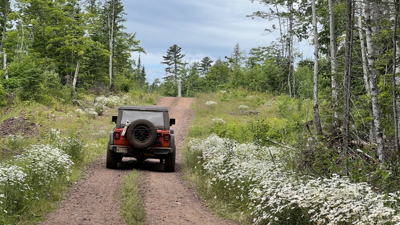
Mandan Road is the gateway to the best trails at the tip of the Keweenaw Peninsula. Mandan Road begins at the US Highway 41 pavement's ending. The trail is rough dirt and periodically maintained by the State. The road ends by turning into an ATV-only trail as defined by Michigan DNR. High Rock Bay is accessible along Mandan Road. There are a few dispersed camping locations towards the beginning of the road and at the end.
Updated: 06/05/2022
Nevenen's Road
Drummond Island, Michigan
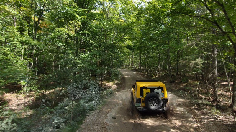
On the western side of Drummond Island’s 40-miles of ORV trails is one of the main feeder trails into the system, Nevenen’s Road. This easy off-road trail connects to multiple moderate and difficult trails along the way and doesn’t have any real obstacles, just rocks and some water on the trail. Nevenen’s Road can act as a nice introduction to the trails in the area and this ends up being a nice drive to start or end your day in Drummond’s vast trail system.
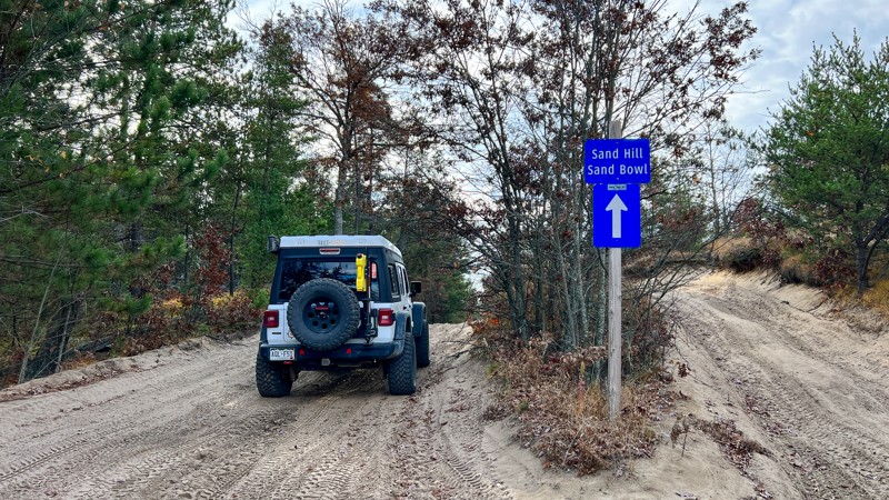
Updated: 06/26/2026
Meridian Road aka The Sand Bowl
St. Helen, Michigan
This route runs from a trailhead parking area, through a popular ORV area, and connects to the Saint Helen Center scout route. The moderate rating is due to the majority of the trail surface being made of soft sand that could be difficult for 2WD vehicles to navigate. About halfway down the trail, you'll reach the Sand Bowl, a great dune area to play around in and practice deep sand driving. Run this route independently or utilize it as a loop with Saint Helen Center.

Upgrade your Membership
Unlock all of the details on every Trail Guide and Scout Route.
Start a 7-day Free TrialCommunity
Partners

