


By clicking "ACCEPT", you agree to be the terms and conditions of each policy linked to above. You also agree to the storing of cookies on your device to facilitate the operation and functionality of our site, enhance and customize your user experience, and to analyze how our site is used.
Georgia Off-Road Trails
61
Total Trail Guides 53

432
Detailed Waypoints 33
Try a Free 7-Day Trial and unlock it all
Start a Free Trial Most Recent Trail Reviews
Rated 4/5
Open
Visited: 09/05/2026
Has been really washed out during the recent storm and now has a huge rock in one of the ruts where the bypass is. Lots of downed trees most have been cleared off the road enough to make passable. I w...

AR
Andrew reed
No Rating
Open
Visited: 09/05/2026
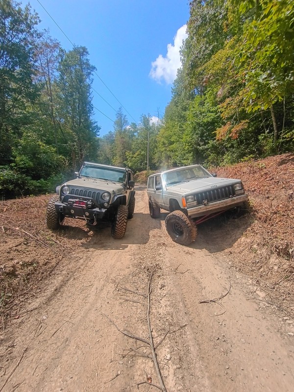
Pretty easy trail. I did not have to use 4wd but I imagine if I rode in rainy weather I would of needed it.
CI
Cory Inman
No Rating
Open
Visited: 09/02/2026
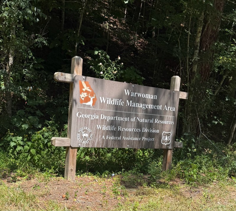
Easy in and out road. There were a few ruts but nothing crazy. There was a couple of good camping sites.
KC
Kim Conard
Rated 5/5
Open
Visited: 08/23/2026
completed trail today west to east. bumpy but not difficult. most difficult part is the big rutted out hill near the river, if you drive west to east you'll have gravity on your side but im certain m...
LL
Luke LoRusso
No Rating
Open
Visited: 08/11/2026
Per the MVUM, the trail is seasonally open. As always, check current fire restrictions/closures before venturing out.

Trails Offroad
No Rating
Open
Visited: 08/11/2026
Per the MVUM, the trail is seasonally open. As always, check current fire restrictions/closures before venturing out.
Trails Offroad
No Rating
Open
Visited: 08/11/2026
Per the MVUM, the trail is seasonally open. As always, check current fire restrictions/closures before venturing out.
Trails Offroad
No Rating
Open
Visited: 08/11/2026
Per the MVUM, the trail is seasonally open. As always, check current fire restrictions/closures before venturing out.
Trails Offroad
No Rating
Open
Visited: 08/11/2026
Per the MVUM, the trail is seasonally open. As always, check current fire restrictions/closures before venturing out.
Trails Offroad
No Rating
Open
Visited: 08/11/2026
Per the MVUM, the trail is seasonally open. As always, check current fire restrictions/closures before venturing out.
Trails Offroad
No Rating
Open
Visited: 08/11/2026
Per the MVUM, the trail is seasonally open. As always, check current fire restrictions/closures before venturing out.
Trails Offroad
No Rating
Open
Visited: 07/30/2026
Easy ride. The last little bit is a washboard from recent rains. It’s a little bumpy.

Danny Thompson
No Rating
Open
Visited: 07/25/2026
Update: trail is open but with more rain lately, the bottom half of the trail is becoming alot rougher than our last time 3 months ago. Several wash out ruts and larger rocks are beginning to collect ...
BM
Brian Mason
Rated 5/5
Open
Visited: 07/25/2026
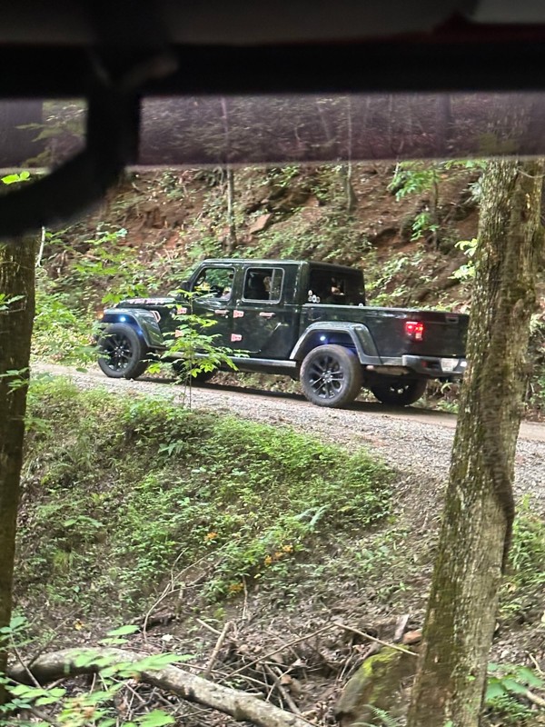
Drove up to where road meets with Corbin Creek Rd. First half is simple gravel paved roads. After that it turned into the typical service road with larger rocks. could have done this road in 2wd. A co...
BM
Brian Mason
Rated 5/5
Open
Visited: 07/25/2026
After a hard rain this morning, trail is still open to what would be a 4th creek crossing. A couple of muddy spots but never took Jeep Gladiator out of 2wd.
BM
Brian Mason
Rated 4/5
Open
Visited: 07/09/2026
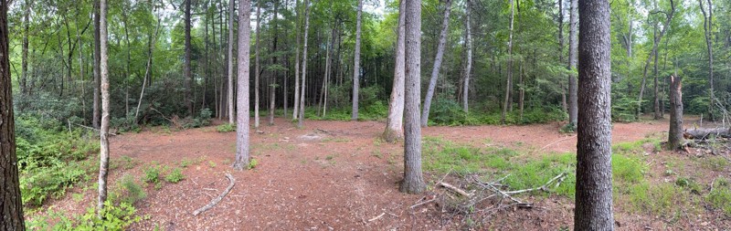
I only did the southern part, having got on at the intersection with Indian Grave Gap road and headed south. Completely smooth apart from one small area with a mud hole. plenty of stopping places for ...
MA
Mark Arnold
No Rating
Open
Visited: 07/09/2026
Easy trail for beginners, trail had caution tape stretched across it at Chattahoochee campground. I ignored it and continued on. No problems getting through.
MA
Mark Arnold
No Rating
Temporary Closure
Visited: 07/09/2026
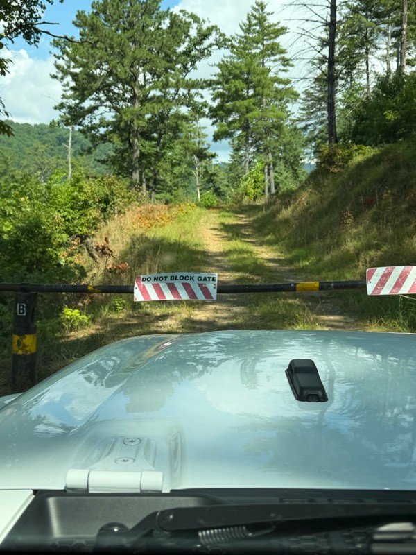
Both gates closed, not sure if temporary or permanent.
MA
Mark Arnold
No Rating
Partially Open
Visited: 07/08/2026
roads closed on both ends for repair on good roads. lol but you can walk in about 12 a mile

Destanie Whitmire
No Rating
Partially Open
Visited: 07/01/2026
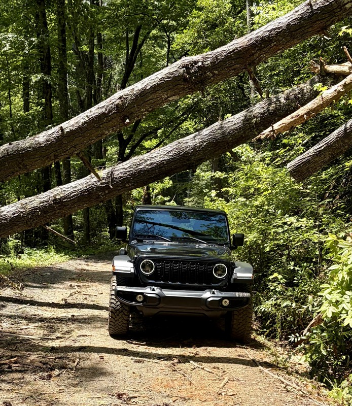
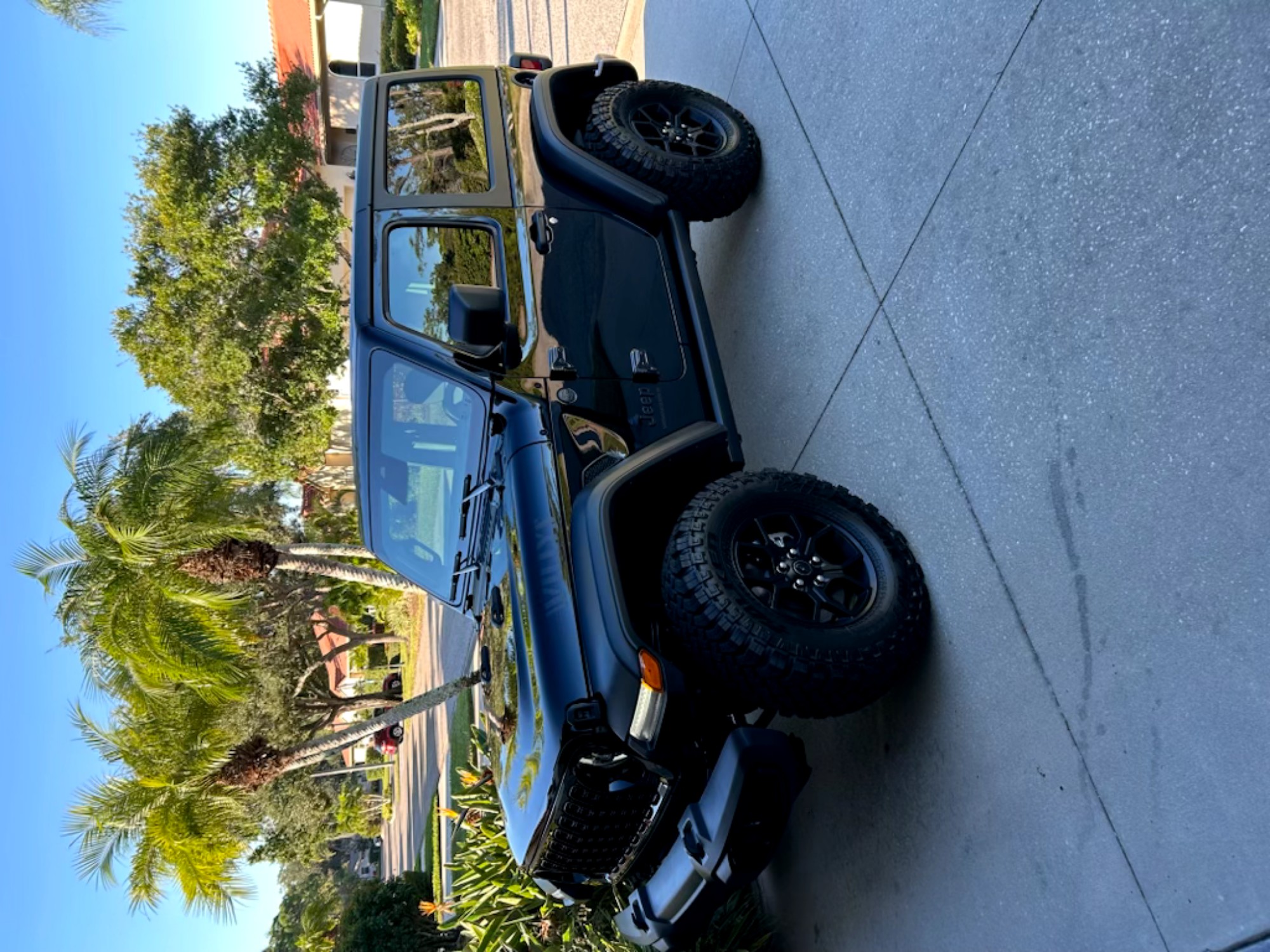
Bring your chain saw and watch out for low ceilings!!!
Tim Martin
No Rating
Open
Visited: 06/30/2026
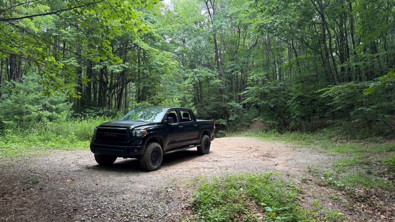
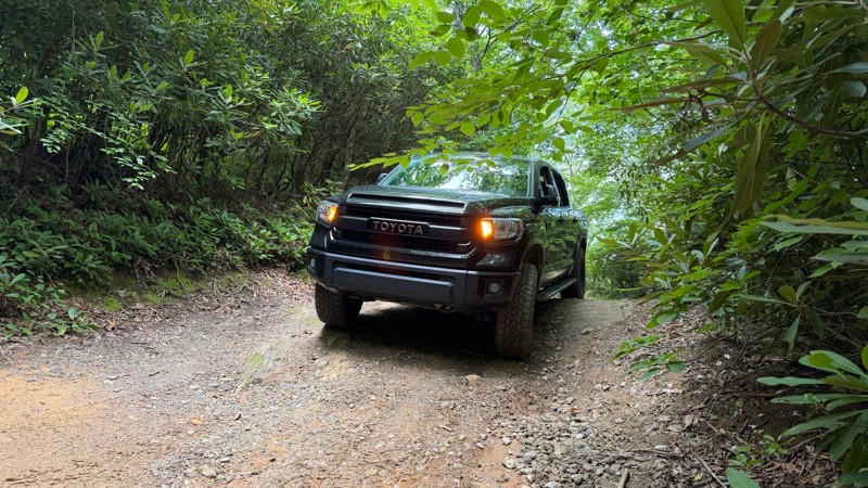
This trail appears to have been regraded at some point after the Scout Route was originally published. It is still a nice drive, with a few waterfalls and camp spots along the way. Once you get past t...

Thad Black
Rated 5/5
Open
Visited: 06/30/2026
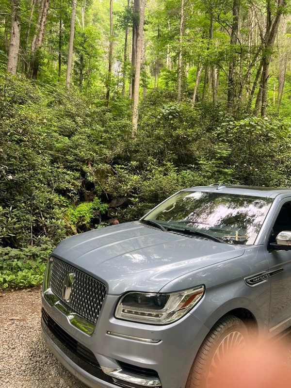
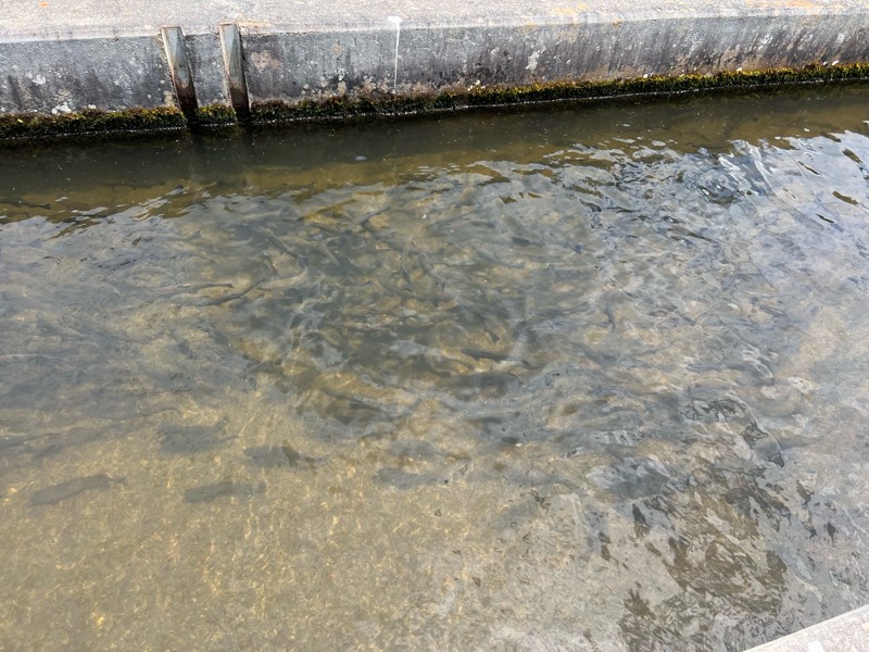
Easy trail wide and very open. The fish hatchery was really cool to see and a fun addition to the trail.
DL
Demetrius leitzsey
Rated 5/5
Open
Visited: 06/28/2026
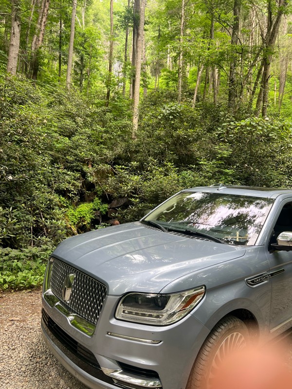
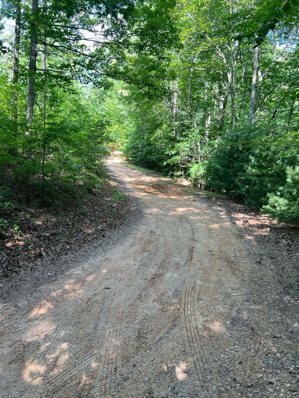
Great trail! Not very busy and easily completed in my 18 Navigator. This was my first trail ride ever. Thank you everyone for the reviews and advice.
DL
Demetrius leitzsey
Rated 4/5
Open
Visited: 06/27/2026
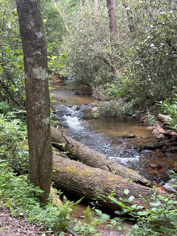
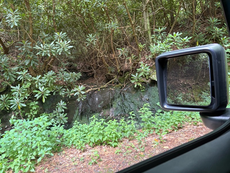
Beautiful scenery on this ride I would say it’s a lot easier than a two we drove from South to North. I could see needing four-wheel-drive in some sections when it’s very wet.
AR
Andrew reed
Rated 5/5
Open
Visited: 06/27/2026
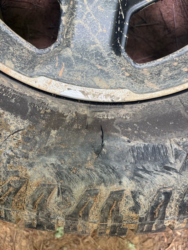
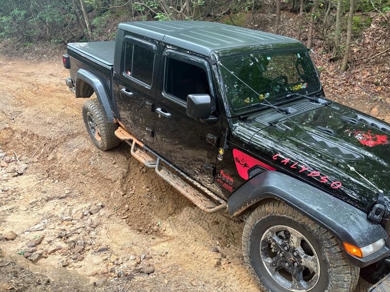
Most of the trail is fairly easy there is a few technical spots. If you pick your line it’s no problem. There is one section about a half mile in if you’re coming from north to south that there is a b...
AR
Andrew reed
No Rating
Open
Visited: 06/26/2026
Very nice beginners trail. This was my first time trail riding EVER, and it was all I have ever dreamed of!
J
Jill
Rated 5/5
Open
Visited: 06/26/2026
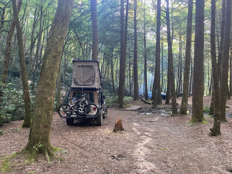
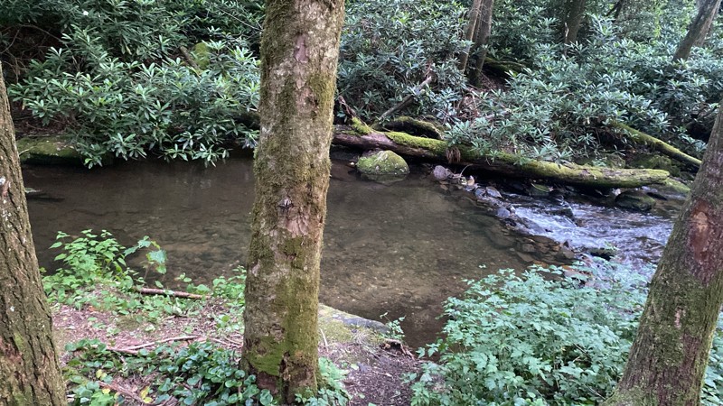
Very cool road, camping by the creek was awesome.
CV
Cesar Valencia
No Rating
Open
Visited: 06/26/2026
According to Agency date data, this trail should be open for the season.
Trails Offroad
No Rating
Open
Visited: 06/26/2026
According to MVUM data, this trail should be open for the season.
Trails Offroad
No Rating
Open
Visited: 06/26/2026
According to MVUM data, this trail should be open for the season.
Trails Offroad
No Rating
Open
Visited: 06/26/2026
According to MVUM data, this trail should be open for the season.
Trails Offroad
No Rating
Open
Visited: 06/26/2026
According to MVUM data, this trail should be open for the season.
Trails Offroad
No Rating
Open
Visited: 06/26/2026
According to MVUM data, this trail should be open for the season.
Trails Offroad
No Rating
Open
Visited: 06/26/2026
According to MVUM data, this trail should be open for the season.
Trails Offroad
No Rating
Open
Visited: 06/26/2026
According to MVUM data, this trail should be open for the season.
Trails Offroad
No Rating
Open
Visited: 06/26/2026
According to MVUM data, this trail should be open for the season.
Trails Offroad
No Rating
Open
Visited: 06/26/2026
According to MVUM data, this trail should be open for the season.
Trails Offroad
No Rating
Open
Visited: 06/26/2026
According to MVUM data, this trail should be open for the season.
Trails Offroad
No Rating
Open
Visited: 06/26/2026
According to MVUM data, this trail should be open for the season.
Trails Offroad
No Rating
Open
Visited: 06/26/2026
According to MVUM data, this trail should be open for the season.
Trails Offroad
No Rating
Open
Visited: 06/26/2026
According to MVUM data, this trail should be open for the season.
Trails Offroad
No Rating
Open
Visited: 06/26/2026
According to MVUM data, this trail should be open for the season.
Trails Offroad
Rated 5/5
Open
Visited: 06/20/2026
A few bumpy/rocky sections but very doable. Saw some Subarus and trucks in addition to Jeeps!
DT
Dottie Tieslau
Rated 5/5
Open
Visited: 06/16/2026
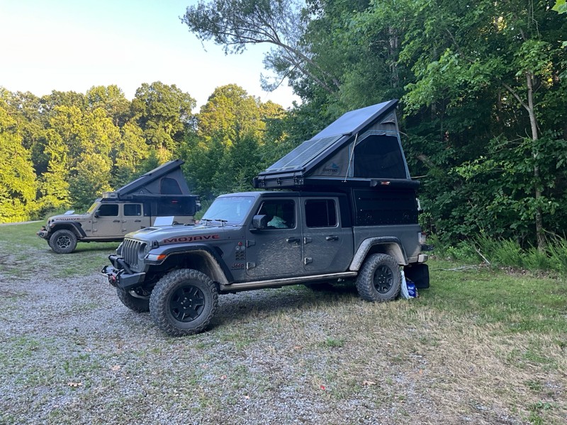
This is were we spent Tuesday night nice camp site next to the creek had a tree across the creek as a bridge. This was a fun night.

Earl Neisler
No Rating
Open
Visited: 06/16/2026
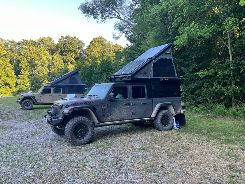
We tried to run from west to east starting at point 10. There was a tree down at 10 our tall rigs would not fit under. So we went to point 1 and ran to the swing bridge. Fun times on the hike.
Earl Neisler
Earl Neisler
Earl Neisler
No Rating
Open
Visited: 06/14/2026
Started late and spent the night at Hickory Creek campground small, and worked well for our needs. The trail rating was spot on.
Earl Neisler
Rated 4/5
Open
Visited: 06/13/2026
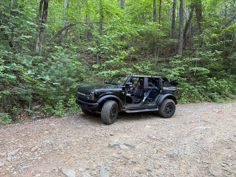
Beautiful scenery. A few dips and rocky sections but overall easy drive.
LB
Lara Boldin
Rated 5/5
Open
Visited: 06/13/2026
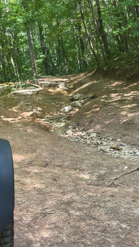
We went north to south, waypoint 1 to 3. The reviews are right on. It is rutted and very rocky but we had a blast. We went slow and picked lines carefully through the trail. No problems in my Bronco i...
LB
Lara Boldin
Most Popular


Updated: 01/15/2024
Tray Mountain Road
Open
/
Helen, Georgia/
8.02 miles/
About an hour
Just north of Helen, Georgia lies Tray Mountain Road. Perhaps the most popular offroad trail in all of Georgia, this road climbs Tray Mountain to Tray Gap, a small parking area and an intersection with the famous Appalachian Trail. The road follows along the ridge so there are spectacular views off one side or the other for the northern portion of the trail, especially in the winter months when there are no leaves on the trees blocking the view. With so many things to do and it's close proximity to Helen, don't pass up Tray Mountain Road.

Updated: 02/07/2024
Charlies Creek Road
Clayton, Georgia
About halfway between Hiawassee and Clayton lies Charlies Creek Road. One of the most popular off-road trails in all of Georgia because of its many water crossings and rough terrain, this trail follows along Charlies Creek and Flat Branch Creek through the valley between River Mountain and Wheeler Knob. It even crosses over the famous Appalachian Trail. With its proximity to some of the best camping in the state, it's easy to see why this trail is the favorite of many!

Updated: 05/04/2024
Forest Service Road 333
Open
/
Morganton, Georgia/
3.33 miles/
About an hour
Following the Toccoa River along the base of John Dick Mountain, Forest Service Road 333 is the rarely used north western entrance of the Blue Ridge Wildlife Management Area of the Chattahoochee National Forest. This trail also offers access to the the Toccoa River Swinging Bridge along the Benton MacKaye Trail, a 300+ mile hiking trail along the Appalachian Mountains that spans across three states. With hiking, fishing, camping and access to numerous other trails, Forest Service Road 333 is a fun addition to any day in the mountains of North Georgia.

Updated: 06/29/2024
Nimblewill Gap
Dahlonega, Georgia
Situated in a mountain range spanning 550 miles from Georgia to Pennsylvania called the Blue Ridge Mountains is an easy trail known as Nimblewill Gap Road. What it lacks in difficulty and obstacles, it makes up for in gorgeous scenery. Part of the trail follows along the beautiful Nimblewill Creek before climbing up the eastern side of Amicalola Mountain reaching Nimblewill Gap, the pass between Amicalola Mountain and Black Mountain. Numerous roadside camping areas make this trail very popular with campers looking to get away from more traditional campgrounds. Additionally, any hikers or history buffs in your group will be delighted to see that this road also offers access to the famous Appalachian Trail, the 2100 mile hiking trail from Georgia to Maine. With camping, hiking, and access to other trails in the area, Nimblewill Gap Road has a little something for everyone.

Updated: 03/09/2024
Grassy Gap Road
Dahlonega, Georgia
One of the less frequently traveled Forest Service roads, Grassy Gap Road is another entrance to the popular Blue Ridge Wildlife Management Area of the Chattahoochee National Forest. Climbing 1200 feet up Gooch Mountain, there are stunning views overlooking the ridge, especially in the winter when there are no leaves on the trees. Connecting to Coopers Gap Road which offers access to the famous Appalachian Trail, Grassy Gap Road is a fun way into the Blue Ridge Wildlife Management Area for those looking for a rougher ride than the average Forest Service road.

Updated: 07/14/2024
Old Bucktown Road
Ellijay, Georgia
Just outside of Ellijay, Georgia, and immediately north of Amicalola Falls State Park lies Old Bucktown Road. Part of the beautiful Blue Ridge Mountains which extend 550 miles from Georgia all the way to Pennsylvania, Old Bucktown Road is a rocky mountain pass that cuts through from Ellijay to Nimblewill. One of the rougher Forest Service roads left in Georgia, this is a great trail for beginner offroad drivers or for someone looking to test out a new rig without being too rough or too remote. Additionally, any hikers or history buffs in your group will be delighted to see that this road also offers access to the famous Appalachian Trail, the 2100 mile hiking trail from Georgia to Maine.

Updated: 03/16/2024
Corbin Creek Road
Open
/
Helen, Georgia/
10.35 miles/
About an hour
Just north of Helen, Georgia lies Corbin Creek Road. Twisting and turning all the way to the top of Tray Mountain, this popular trail is the northernmost and smoothest way to Tray Gap, a small parking area and the intersection with the famous Appalachian Trail. In addition to some great camping spots, there are stunning views to the northwest overlooking the Chinquapin Ridge - especially in the winter months when there are no leaves on the trees blocking the view. So whether you're out day hiking the Appalachian Trail, looking for some secluded camping, or just out for a beautiful mountain drive, give Corbin Creek Road a look.

Updated: 06/15/2024
93C - Nicholson Gap
Open
/
Blairsville, Georgia/
2.53 miles/
About an hour
Located just east of Blairsville, in the Chattahoochee National Forest of north Georgia, Nicholson Gap is one of the main trails into the heart of the infamous Beasley Knob OHV Trail System. This narrow, single-lane trail will get the blood pumping like an amusement park ride as you twist and turn through the dense foliage, climb up and down steep grades, and sling bright orange Georgia mud down the sides of your vehicle. Combine this trail with several others in the network to fully complete the only Jeep Badge of Honor in the state of Georgia.

Updated: 06/15/2024
93A - Access
Open
/
Blairsville, Georgia/
1.81 miles/
About 20 minutes
Situated in the Chattahoochee National Forest of north Georgia, 93A is the simplest and easiest road within the Beasley Knob OHV Trail System. Known simply as "Access," this trail leads to several of the most intense Beasley Knob trails. It offers a few great camping opportunities that are sometimes used as impromptu camps after a long, eventful day tackling other trails in the network. Come explore for a day or a weekend, but combine this trail with several others in the network to complete the only Jeep Badge of Honor trail in Georgia.

Updated: 05/18/2024
Noontootla Road
Suches, Georgia
About 25 minutes east of East Ellijay, Georgia and just north of Amicalola Falls State Park lies Noontootla Road. One of the main routes through the Blue Ridge Wildlife Management Area, this trail follows along Noontootla Creek and then Chester Creek offering outstanding views for almost the entire way. This trail also crosses and has a small parking area for the famous Benton MacKaye Hiking Trail which also is the closest access point for the popular Long Creek Falls. So if you are looking for some of the best camping in the entire state or out for a great hike or drive through the forest, check out Noontootla Road.

Updated: 06/08/2024
Forest Service Road 28-1
Dahlonega, Georgia
Forest Service Road 28-1 is one of the main roads of a popular offroad driving loop in the Blue Ridge Wildlife Management Area. It is also the southern main entrance of the Blue Ridge District of the Chattahoochee National Forest. This road connects with numerous other Forest Service roads and non-motorized hiking/biking/equestrian trails. This trail has many interesting sights, such as the Wahsega 4-H Center and US Army Camp Merrill.

Updated: 06/15/2024
93D - Bridge Gap
Open
/
Blairsville, Georgia/
2.5 miles/
About 40 minutes
Located a few miles east of Blairsville, in the Chattahoochee National Forest, Bridge Gap is a mid-level trail within the infamous Beasley Knob OHV Trail System. This trail will have you white-knuckling the steering wheel as you descend steep grades, maneuver through intense rock gardens, and pray you find a pull-out before meeting oncoming traffic. Whether you come for the rocks, the Jeep Badge of Honor designation, or just good off-road fun in the forests of north Georgia, Bridge Gap is a must-do trail.

Updated: 12/18/2023
Calbeck Road
Calhoun, Georgia
If a beautiful mountaintop drive is what you are looking for, then look no further. Hidden inside the Armuchee area of the Chattahoochee National Forest, just west of Calhoun, lies Calbeck Road. What starts as your basic forest road surrounded by thick green trees leads to a unique, open clearing on the top of Calbeck Mountain. Stunning views overlook the Dry Creek Valley you just drove through to get here all the way across to the peaks of 1780-foot Horn Mountain. Stretching 17 miles, Horn Mountain is the eastern wall of The Pocket, a popular and geographically unique recreation area. Whether you are out to see the bright blue skies against the green mountain tops in the summer, the beautiful colors of fall, or watch a storm move in during the spring, Calbeck Road is one you'll remember for its beauty.

Updated: 05/24/2024
93G - Nelson Cove
Open
/
Blairsville, Georgia/
2.71 miles/
About an hour
Located in the Chattahoochee National Forest, Nelson Cove is one of the more difficult trails within the Beasley Knob OHV Trail System. Deep trenches, steep climbs, and sticky mud holes await those brave enough to attempt the drive. Spinning tires and roaring engines will leave mud splattered across windows like abstract art. With perseverance, determination, and in some cases, a little luck, you can conquer this trail and proudly earn a portion of the Badge of Honor designation. Combine trail 93G with several others in the network to fully complete the Jeep Badge of Honor.

Updated: 03/09/2024
Winding Stair Gap Road
Dahlonega, Georgia
About halfway between Suches and Dahlonega lies Winding Stair Gap Road. This trail is the western part of a popular off-road driving loop through the Blue Ridge district of the Chattahoochee National Forest. Connecting Winding Stair Gap, a five-way intersection of trails, to the southern entrance of the forest - Winding Stair Gap Road follows the ridge overlooking Penitentiary Cove to the east and Jones Creek to the west. So if you're looking for a shortcut through the mountains or just out for a scenic drive through the forest, check out Winding Stair Gap Road.

Updated: 03/03/2024
Appalachian Blue Ridge Road
Suches, Georgia
About halfway between Suches and Dahlonega lies Appalachian Blue Ridge Road, one of the most scenic non-paved drives in all of Georgia. This trail follows along the famous Appalachian Trail the entire way and is the connector route from Hightower Gap to Coopers Gap. Looking to the north you will find spectacular views of the valley and mountains for most of the way, especially in the winter months when there are no leaves on the trees blocking the view. With camping areas throughout and small parking areas at both ends of this trail, Appalachian Blue Ridge Road is perfect for campers, day hikers, or anyone looking for an easy scenic drive through the mountains.

Updated: 10/18/2023
Jones Creek Road
Dahlonega, Georgia
Tucked deep within the Blue Ridge District of the Chattahoochee National Forest lies Jones Creek Road. This easy, scenic trail has some of the best-secluded camping in the area. This trail has it all with water crossings, roadside camping, access to hiking trails and waterfalls and much more! If you're in the area and looking for some secluded off the beaten path camping, give this trail a look.

Updated: 06/15/2024
93B - Blue Rock Mountain
Open
/
Blairsville, Georgia/
0.53 miles/
About 3 hours
Rightfully earning the designation as the most challenging trail within the Beasley Knob OHV Trail System, Blue Rock Mountain is a legendary trail with a fearsome reputation for holding hostage any mortal who dares cross its sacred domain. If spending multiple hours traveling half a mile up treacherous terrain sounds like an acceptable challenge, 93B is the trail of your dreams or can easily become your nightmare. This Jeep Badge of Honor trail will not go gently into the night, but rest assured, conquering Blue Rock Mountain will leave you feeling like you just conquered Mount Everest.

Updated: 03/02/2024
Coopers Gap Road
Dahlonega, Georgia
One of the more scenic mountainous trails in Georgia, Coopers Gap Road, is the main eastern route in and out of the Blue Ridge Wildlife Management Area. Breathtaking views of ridges and valleys off both sides throughout much of the ride, this trail twice crosses paths with the famous Appalachian Trail - a 2,200 hiking trail from Georgia to Maine. With multiple camping areas and two parking areas, Coopers Gap Road is an excellent route for day hikes, overnight hikes, or just a scenic ride through the Blue Ridge Mountains.

Updated: 01/14/2024
Dunaway Gap Road
Armuchee, Georgia
Tucked away in the northwestern part of Georgia, just west of Calhoun, lies Dunaway Gap Road. This short, rarely-used trail is the only cut-through of Johns Mountain, a 20-mile-long mountain that forms the western part of The Pocket, a popular and geographically unique recreation area. The trail traverses the Johns Mountain Wildlife Management Area, a 28,000-acre area with opportunities for hiking, fishing, hunting, horseback riding, and mountain biking.

Updated: 03/28/2024
Gumlog Gap Road
Blairsville, Georgia
Just north of Blairsville is one of the most beautiful, scenic rides in all of Georgia. Known as Gumlog Gap Road, this pair of Forest Service roads travels the ridge between Gumlog Mountain, Chestnut Top, Tarklin Knob, Turkey Knob, and Piley Top. Right next to the beautiful Lake Nottely, this trail has some incredible views overlooking into North Carolina - even when the trees are thick with leaves. Riding this trail in the summer might make you think you took a wrong turn and ended up in the jungles of Columbia with the thick green surroundings and the Kudzu vines everywhere. If you're looking for an easy off-pavement scenic getaway, don't pass up Gumlog Gap Road.

Updated: 09/19/2023
Duncan Ridge Road
Suches, Georgia
Spanning the ridge across the Coopers Creek Wildlife Management Area, just north of Suches, Georgia, lies Duncan Ridge Road. This scenic mountain trail overlooks the valley to the south and runs the ridges of several mountains such as Wildcat Knob, Coosa Bald and Buckeye Knob. With access to four popular hiking trails - Duncan Ridge Trail, Coosa Backcountry Trail, Yellow Mountain Trail and Shope Gap Trail - and some good secluded camping areas, Duncan Ridge Road is a great addition to any trip through the mountains.

Updated: 03/03/2024
Springer Mountain Road
East Ellijay, Georgia
About 25 minutes east of East Ellijay, Georgia and just north of Amicalola Falls State Park lies Springer Mountain Road. The western main entrance to the Blue Ridge Wildlife Management Area of the Chattahoochee National Forest, this trail is the connector trail from the forest entrance to Winding Stair Gap, a five-way intersection of trails. Springer Mountain Road also has the parking area for the southern terminus of the famous Appalachian Trail at Springer Mountain. So if you're looking to hike or just check out the beginning of the most famous hiking trail in the country or just out for a scenic drive through the mountains, don't pass up Springer Mountain Road.

Updated: 12/01/2023
Rock Creek Road
Suches, Georgia
This smooth and scenic road is the main entrance to the Blue Ridge Wildlife Area of the Chattahoochee National Forest. Just outside the beautiful Suches, Georgia, this trail offers access to the famous Appalachian Trail, a 2,200 mile hiking trail from Georgia to Maine. Following the heavily stocked trout stream, Rock Creek, all the way past Rock Creek Lake, this trail passes the Chattahoochee Forest National Fish Hatchery, which is open to the public. With at least a half dozen fishing access points to the creek, plus the fish hatchery itself and Rock Creek Lake, this trail offers access to some of the best trout fishing in the area. With hiking, fishing, camping and access to numerous other trails, Rock Creek Road is a great place to spend a day in the mountains.

Upgrade your Membership
Unlock all of the details on every Trail Guide and Scout Route.
Start a 7-day Free TrialCommunity
Partners

