


By clicking "ACCEPT", you agree to be the terms and conditions of each policy linked to above. You also agree to the storing of cookies on your device to facilitate the operation and functionality of our site, enhance and customize your user experience, and to analyze how our site is used.
Georgia Off-Road Trails
61
Total Trail Guides 53

432
Detailed Waypoints 33
Try a Free 7-Day Trial and unlock it all
Start a Free Trial Most Recent Trail Reviews
Rated 4/5
Open
Visited: 09/05/2026
Has been really washed out during the recent storm and now has a huge rock in one of the ruts where the bypass is. Lots of downed trees most have been cleared off the road enough to make passable. I w...

AR
Andrew reed
No Rating
Open
Visited: 09/05/2026
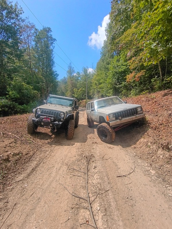
Pretty easy trail. I did not have to use 4wd but I imagine if I rode in rainy weather I would of needed it.
CI
Cory Inman
No Rating
Open
Visited: 09/02/2026
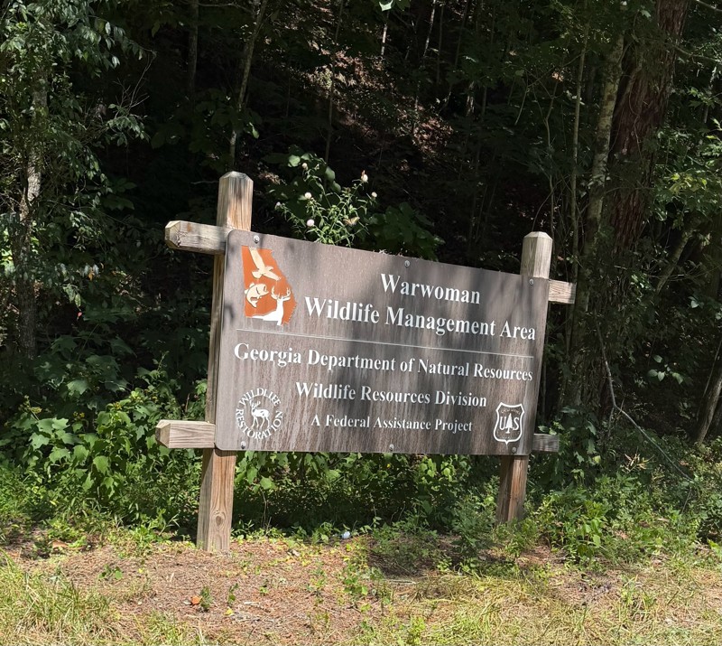
Easy in and out road. There were a few ruts but nothing crazy. There was a couple of good camping sites.
KC
Kim Conard
Rated 5/5
Open
Visited: 08/23/2026
completed trail today west to east. bumpy but not difficult. most difficult part is the big rutted out hill near the river, if you drive west to east you'll have gravity on your side but im certain m...
LL
Luke LoRusso
No Rating
Open
Visited: 08/11/2026
Per the MVUM, the trail is seasonally open. As always, check current fire restrictions/closures before venturing out.

Trails Offroad
Official Crew
No Rating
Open
Visited: 08/11/2026
Per the MVUM, the trail is seasonally open. As always, check current fire restrictions/closures before venturing out.
Trails Offroad
Official Crew
No Rating
Open
Visited: 08/11/2026
Per the MVUM, the trail is seasonally open. As always, check current fire restrictions/closures before venturing out.
Trails Offroad
Official Crew
No Rating
Open
Visited: 08/11/2026
Per the MVUM, the trail is seasonally open. As always, check current fire restrictions/closures before venturing out.
Trails Offroad
Official Crew
No Rating
Open
Visited: 08/11/2026
Per the MVUM, the trail is seasonally open. As always, check current fire restrictions/closures before venturing out.
Trails Offroad
Official Crew
No Rating
Open
Visited: 08/11/2026
Per the MVUM, the trail is seasonally open. As always, check current fire restrictions/closures before venturing out.
Trails Offroad
Official Crew
No Rating
Open
Visited: 08/11/2026
Per the MVUM, the trail is seasonally open. As always, check current fire restrictions/closures before venturing out.
Trails Offroad
Official Crew
No Rating
Open
Visited: 07/30/2026
Easy ride. The last little bit is a washboard from recent rains. It’s a little bumpy.

Danny Thompson
No Rating
Open
Visited: 07/25/2026
Update: trail is open but with more rain lately, the bottom half of the trail is becoming alot rougher than our last time 3 months ago. Several wash out ruts and larger rocks are beginning to collect ...
BM
Brian Mason
Rated 5/5
Open
Visited: 07/25/2026
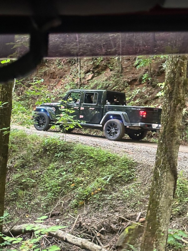
Drove up to where road meets with Corbin Creek Rd. First half is simple gravel paved roads. After that it turned into the typical service road with larger rocks. could have done this road in 2wd. A co...
BM
Brian Mason
Rated 5/5
Open
Visited: 07/25/2026
After a hard rain this morning, trail is still open to what would be a 4th creek crossing. A couple of muddy spots but never took Jeep Gladiator out of 2wd.
BM
Brian Mason
Rated 4/5
Open
Visited: 07/09/2026
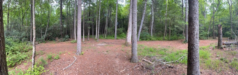
I only did the southern part, having got on at the intersection with Indian Grave Gap road and headed south. Completely smooth apart from one small area with a mud hole. plenty of stopping places for ...
MA
Mark Arnold
No Rating
Open
Visited: 07/09/2026
Easy trail for beginners, trail had caution tape stretched across it at Chattahoochee campground. I ignored it and continued on. No problems getting through.
MA
Mark Arnold
No Rating
Temporary Closure
Visited: 07/09/2026
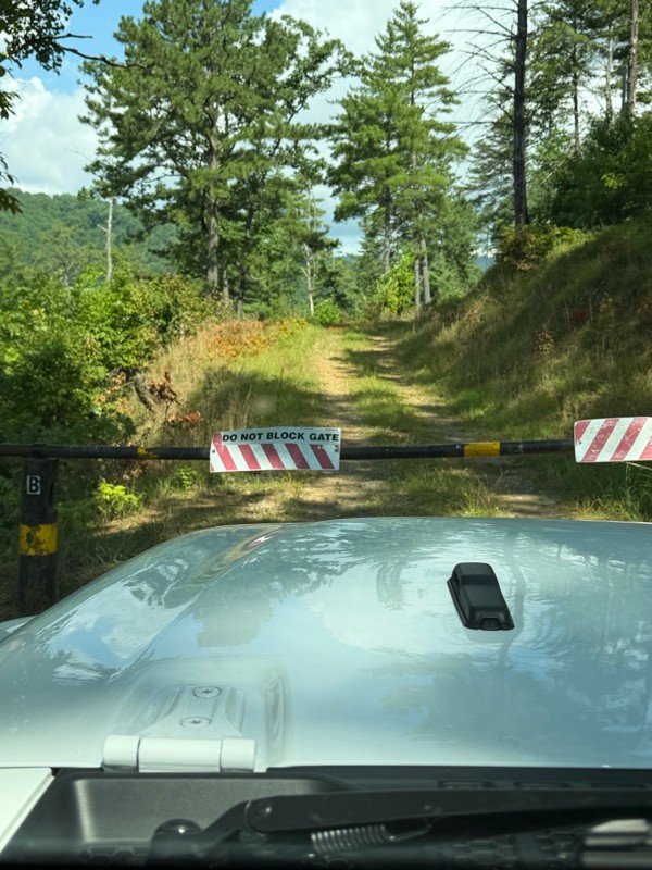
Both gates closed, not sure if temporary or permanent.
MA
Mark Arnold
No Rating
Partially Open
Visited: 07/08/2026
roads closed on both ends for repair on good roads. lol but you can walk in about 12 a mile

Destanie Whitmire
No Rating
Partially Open
Visited: 07/01/2026
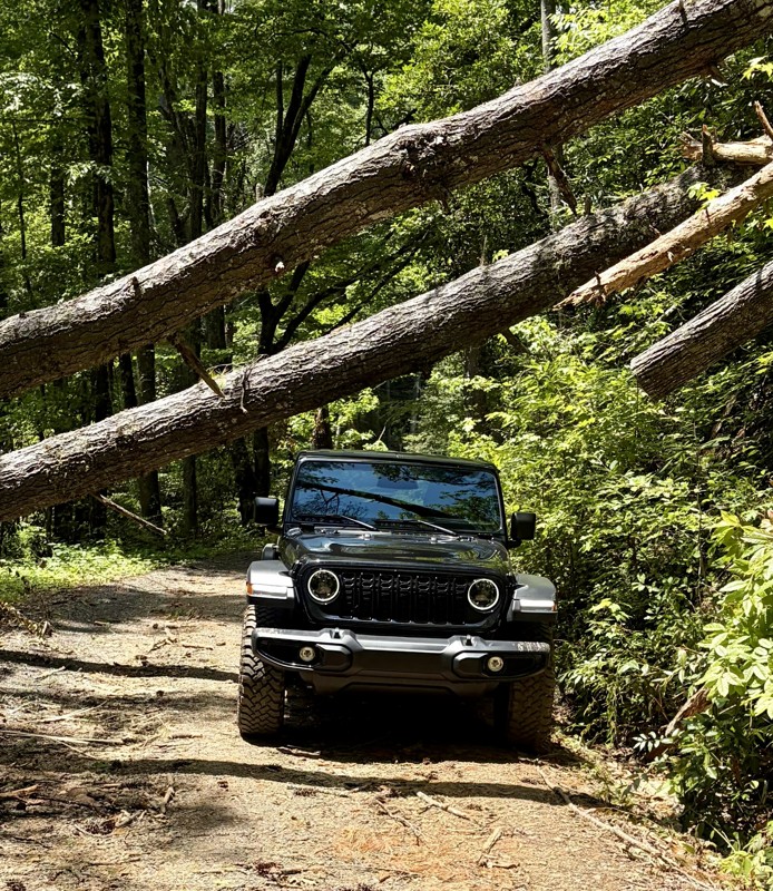
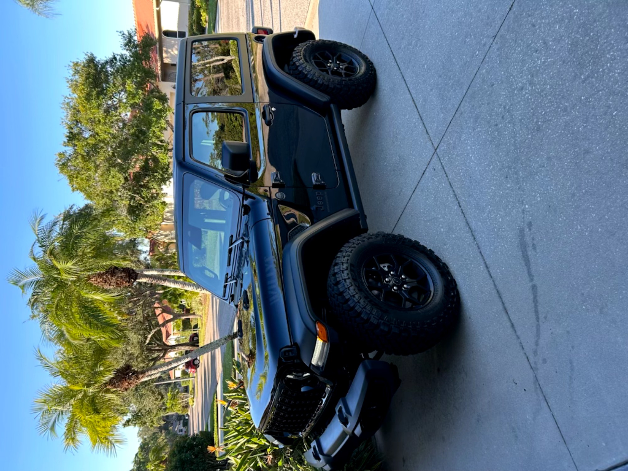
Bring your chain saw and watch out for low ceilings!!!
Tim Martin
No Rating
Open
Visited: 06/30/2026
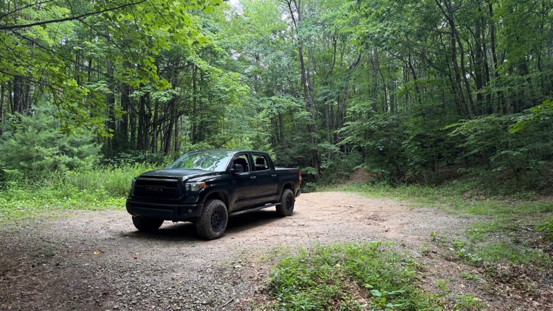
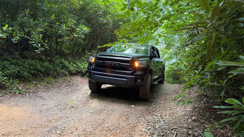
This trail appears to have been regraded at some point after the Scout Route was originally published. It is still a nice drive, with a few waterfalls and camp spots along the way. Once you get past t...

Thad Black
Rated 5/5
Open
Visited: 06/30/2026
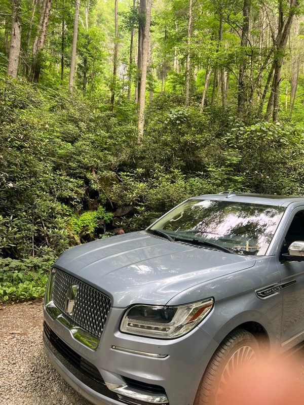
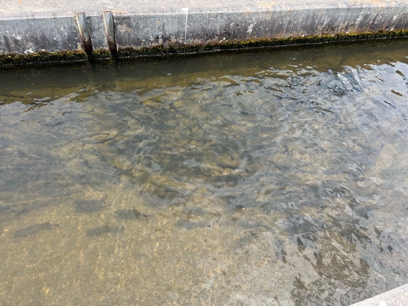
Easy trail wide and very open. The fish hatchery was really cool to see and a fun addition to the trail.
DL
Demetrius leitzsey
Rated 5/5
Open
Visited: 06/28/2026
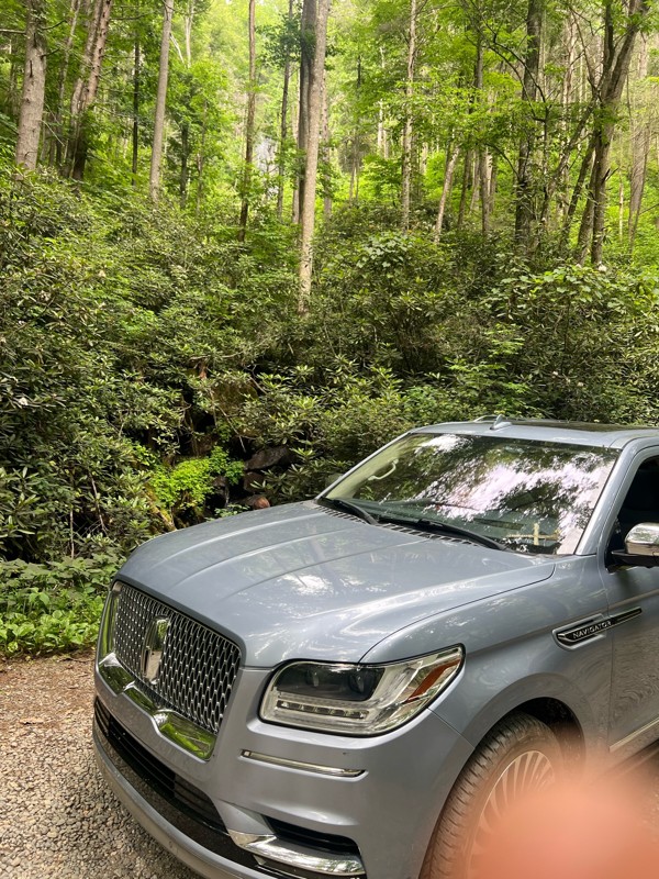
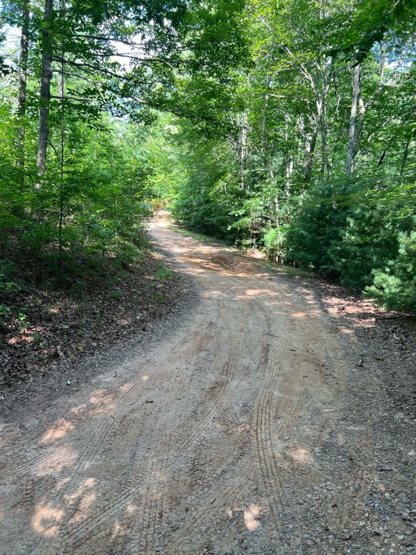
Great trail! Not very busy and easily completed in my 18 Navigator. This was my first trail ride ever. Thank you everyone for the reviews and advice.
DL
Demetrius leitzsey
Rated 4/5
Open
Visited: 06/27/2026
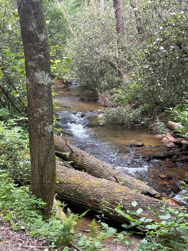
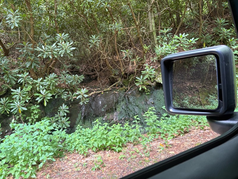
Beautiful scenery on this ride I would say it’s a lot easier than a two we drove from South to North. I could see needing four-wheel-drive in some sections when it’s very wet.
AR
Andrew reed
Rated 5/5
Open
Visited: 06/27/2026
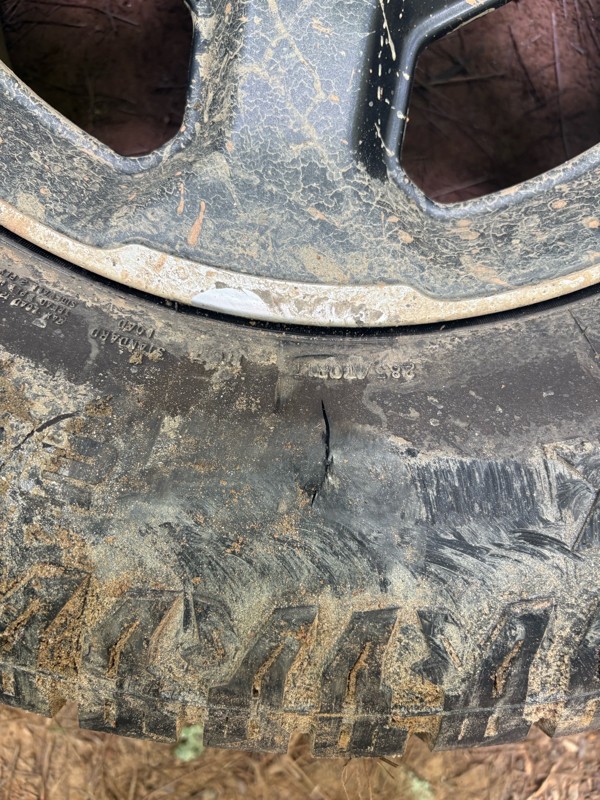
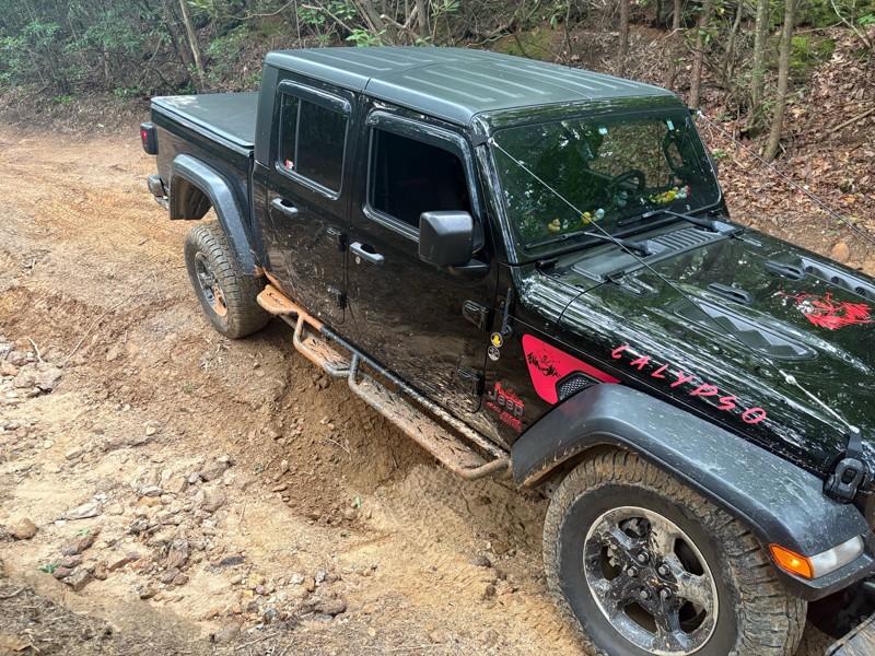
Most of the trail is fairly easy there is a few technical spots. If you pick your line it’s no problem. There is one section about a half mile in if you’re coming from north to south that there is a b...
AR
Andrew reed
No Rating
Open
Visited: 06/26/2026
Very nice beginners trail. This was my first time trail riding EVER, and it was all I have ever dreamed of!
J
Jill
Rated 5/5
Open
Visited: 06/26/2026
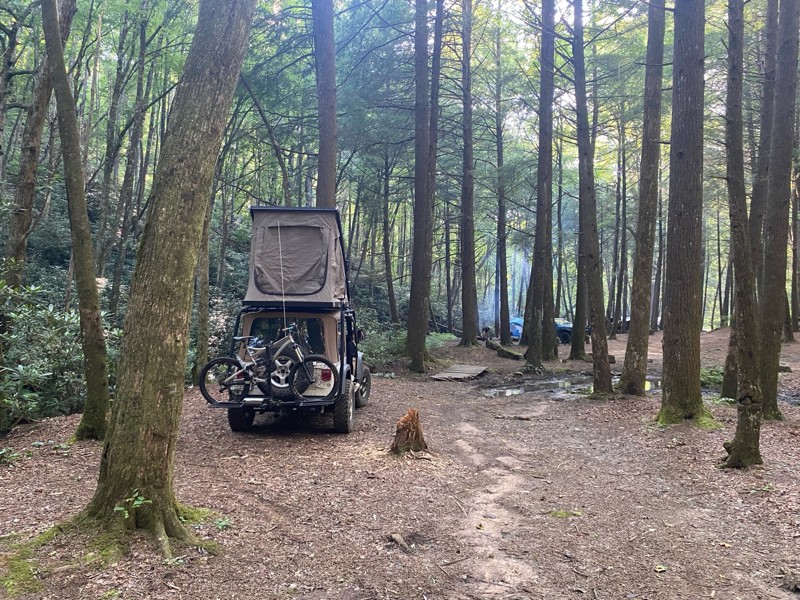
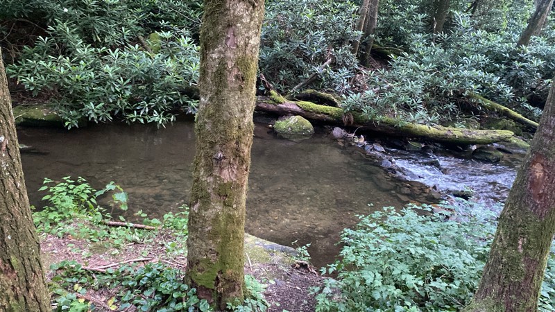
Very cool road, camping by the creek was awesome.
CV
Cesar Valencia
No Rating
Open
Visited: 06/26/2026
According to Agency date data, this trail should be open for the season.
Trails Offroad
Official Crew
No Rating
Open
Visited: 06/26/2026
According to MVUM data, this trail should be open for the season.
Trails Offroad
Official Crew
No Rating
Open
Visited: 06/26/2026
According to MVUM data, this trail should be open for the season.
Trails Offroad
Official Crew
No Rating
Open
Visited: 06/26/2026
According to MVUM data, this trail should be open for the season.
Trails Offroad
Official Crew
No Rating
Open
Visited: 06/26/2026
According to MVUM data, this trail should be open for the season.
Trails Offroad
Official Crew
No Rating
Open
Visited: 06/26/2026
According to MVUM data, this trail should be open for the season.
Trails Offroad
Official Crew
No Rating
Open
Visited: 06/26/2026
According to MVUM data, this trail should be open for the season.
Trails Offroad
Official Crew
No Rating
Open
Visited: 06/26/2026
According to MVUM data, this trail should be open for the season.
Trails Offroad
Official Crew
No Rating
Open
Visited: 06/26/2026
According to MVUM data, this trail should be open for the season.
Trails Offroad
Official Crew
No Rating
Open
Visited: 06/26/2026
According to MVUM data, this trail should be open for the season.
Trails Offroad
Official Crew
No Rating
Open
Visited: 06/26/2026
According to MVUM data, this trail should be open for the season.
Trails Offroad
Official Crew
No Rating
Open
Visited: 06/26/2026
According to MVUM data, this trail should be open for the season.
Trails Offroad
Official Crew
No Rating
Open
Visited: 06/26/2026
According to MVUM data, this trail should be open for the season.
Trails Offroad
Official Crew
No Rating
Open
Visited: 06/26/2026
According to MVUM data, this trail should be open for the season.
Trails Offroad
Official Crew
No Rating
Open
Visited: 06/26/2026
According to MVUM data, this trail should be open for the season.
Trails Offroad
Official Crew
Rated 5/5
Open
Visited: 06/20/2026
A few bumpy/rocky sections but very doable. Saw some Subarus and trucks in addition to Jeeps!
DT
Dottie Tieslau
Rated 5/5
Open
Visited: 06/16/2026
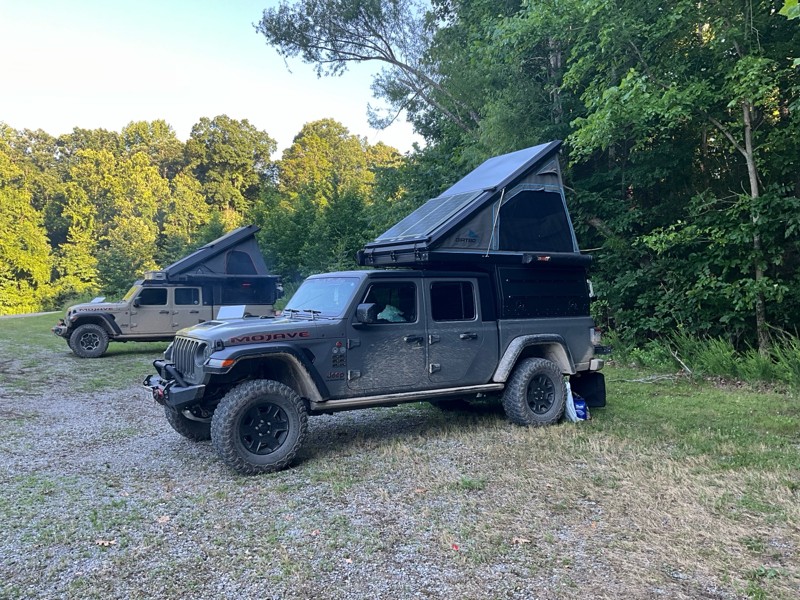
This is were we spent Tuesday night nice camp site next to the creek had a tree across the creek as a bridge. This was a fun night.

Earl Neisler
No Rating
Open
Visited: 06/16/2026
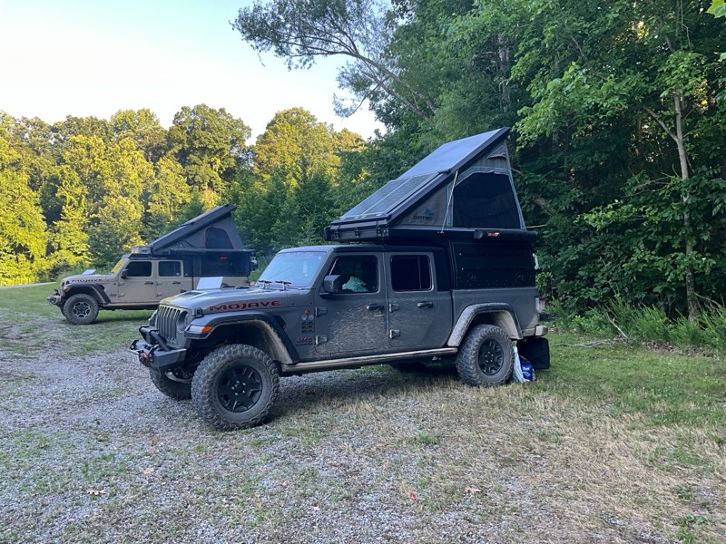
We tried to run from west to east starting at point 10. There was a tree down at 10 our tall rigs would not fit under. So we went to point 1 and ran to the swing bridge. Fun times on the hike.
Earl Neisler
Earl Neisler
Earl Neisler
No Rating
Open
Visited: 06/14/2026
Started late and spent the night at Hickory Creek campground small, and worked well for our needs. The trail rating was spot on.
Earl Neisler
Rated 4/5
Open
Visited: 06/13/2026
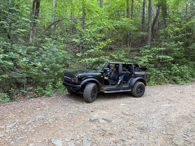
Beautiful scenery. A few dips and rocky sections but overall easy drive.
LB
Lara Boldin
Rated 5/5
Open
Visited: 06/13/2026
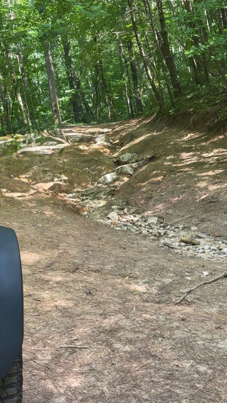
We went north to south, waypoint 1 to 3. The reviews are right on. It is rutted and very rocky but we had a blast. We went slow and picked lines carefully through the trail. No problems in my Bronco i...
LB
Lara Boldin
Most Popular

Updated: 06/05/2022
Cooper Creek Road
Suches, Georgia
Just north of Suches, Georgia and right next to Lake Winfield Scott lies Cooper Creek Road. This trail is the main route through the Coopers Creek Wildlife Management Area that spans more than 30,000 acres and offers hunting opportunities for deer, bear, turkey and small game in addition to trout fishing. There are numerous small clearings for camping along this trail including some right along the creek. This trail is also a connecting trail to four other trails. The eastern trailhead is across the street from the Winfield Scott Recreation Area which has full facilities including nice restrooms. With so many things to do, and its close proximity to so many other trails - Cooper Creek Road is a great easy trail to hit while out exploring the forest.

Updated: 12/18/2023
Hale Ridge Road
Clayton, Georgia
Hale Ridge Road is the main route through the Warwoman Wildlife Management Area of the Chattahoochee National Forest and the only road that goes completely through to North Carolina. Just outside Clayton, Georgia, Hale Ridge Road offers access to numerous hiking trails, including the Bartram Trail, Three-Forks Trail, Holcomb Trail, and the Rabun Bald Trail. With access to many hiking trails and other Forest Service roads, Hale Ridge Road is a fun place to explore while out in the mountains.

Updated: 07/24/2024
Red Root Road
Cornelia, Georgia
Just east of Cornelia lies Red Root Road. The main route through the Lake Russell Wildlife Management Area - a 17,000+ acre area known for primitive camping, hiking, hunting, and fishing - this trail is one of only three trails in the area that is open year round. Red Root Road runs along the Middle Fork Broad River for part of the way and then passes between Allen Mountain and Farmers Mountain for some outstanding views. With so many activities, Red Root Road is a great place to explore while out in the mountains.

Updated: 07/07/2024
Weeks Creek Road
Morganton, Georgia
Just southeast of Blue Ridge Lake is a little connector trail called Weeks Creek Road. This trail follows along the base of Weeks Mountain and Pine Mountain and connects the popular Aska area to Highway 60. With a few secluded camping areas, this trail also makes for a good escape from the crowds along the Toccoa River which is just outside the western trailhead. So if you're just out for a scenic ride or looking for a shortcut to the lake or river, check out Weeks Creek Road.

Updated: 05/17/2024
Knight Creek Road
Suches, Georgia
Just north of Suches, Georgia, lies Knight Creek Road. Fully enclosed within the Cooper's Creek Wildlife Management Area boundary, this fun little trail follows the beautiful Knight Creek the entire way. Rougher than most other trails in the area, this trail follows up the slope between Upper Polecat Mountain and Licklog Mountain and allows you to stretch your vehicle's legs a little bit. Spanning more than 30,000 acres, the Coopers Creek Wildlife Management Area offers hunting opportunities for deer, bear, turkey, and small game in addition to trout fishing. With so many things to do and its close proximity to so many other trails, Knight Creek Road is a great trail to hit while out exploring the forest.

Updated: 12/18/2023
Overflow Creek Road
Clayton, Georgia
Just outside Clayton, Georgia, Overflow Creek Road is one of the main routes through the Warwoman Wildlife Management Area of the Chattahoochee National Forest. One of the smoother and more popular trails in the area, Overflow Creek Road crosses over the famous Chattooga River, where the movie Deliverance was filmed. With access to camping, fishing, and numerous hiking trails, Overflow Creek Road is a fun road to explore while in the area.

Updated: 03/28/2024
West Skeenah Road
Suches, Georgia
If you're looking to get lost in the woods, look no further than West Skeenah Road. Situated just north of Suches, Georgia, this long and winding road is part of the ever-popular Georgia Traverse - a 390-mile route with 225 miles of unpaved surfaces. Nothing but curves, this easy but scenic trail might make you feel like your on a slow-moving roller coaster in a sea of green far from civilization. Following the base of Wilscot and Deadenenn Mountains, this road connects Highway 60 to Skeenah Gap Road while crossing over numerous creeks including Woody Branch, Pigeon Creek, and Skeenah Creek. So whether your following along the Georgia Traverse, looking for a secluded camping spot, or just looking to get away from it all, check out West Skeenah Road.

Updated: 03/28/2024
Ivylog Gap Road
Blairsville, Georgia
Just north of Blairsville is a little trail called Ivylog Gap Road. This easy, scenic trail follows the ridge between Ivylog Mountain, Juber Knob, Lynn Knob, Anderson Knob, and Mine Mountain and might even make you forget you're so close to the megacity of Atlanta. Right next to the beautiful Lake Nottely, known for trophy striper fishing, this trail connects to the town of Young Harris next to Brasstown Bald - the tallest mountain in all of Georgia with a lookout tower, making it a popular attraction. So, if you find yourself in the area and need to get away from the crowds and the pavement, give Ivylog Gap Road a look.

Updated: 01/26/2024
West Wolf Creek Road
Blairsville, Georgia
Situated south of Blairsville and just north of Vogel State Park is West Wolf Creek Road. Following West Fork Wolf Creek most of the way, this trail runs through the valley between Frady Mountain and Sheriff Knob to the southeast and Ben Knob, Big Grassy Knob and Wildcat Knob on the northwest. A popular trail due to the numerous camping areas, there is also access to the popular Coosa Backcountry Hiking Trail. So whether you're out for a day of hiking, a night of camping or just a scenic drive through the forest, don't overlook West Wolf Creek Road.

Updated: 03/16/2024
Swallows Creek Road
Hiawassee, Georgia
Hidden just south of Hiawassee, Georgia lies Swallows Creek Road. Situated in the heart of the Swallow Creek Wildlife Management Area, a 19,000-acre public area with over 25 miles of hiking trails and opportunities for hunting and fishing, this often overlooked road has some incredible creekside camping areas. Surrounded by sights and sounds of nature, this secluded trail follows Swallows Creek through Syrup Mill Cove, along the base of Berrong Mountain all the way to Buckeye Cove. So whether you're looking for some hiking and camping, hunting and fishing, or just a scenic drive through the forest, don't overlook Swallows Creek Road.

Updated: 03/28/2024
Forest Service Road 97
Dahlonega, Georgia
A short and scenic trail along Campbell Mountain, Forest Service Road 97 is one of many Forest Service roads in the Blue Ridge Ranger District of the Chattahoochee National Forest. Surrounded the entire way by sights and sounds of nature, there is a small clearing at the end perfect for a picnic or place to park while setting up camp for the night. Because of its close proximity to so many other trails and because it's slightly rougher than the average gravel road, this is an ideal trail to hit while out exploring for the day in the area.

Updated: 03/28/2024
Forest Service Road 69C
Morganton, Georgia
Forest Service Road 69C, also known as Lower Frozen Branch Road, is a scenic loop off the beaten path inside the Blue Ridge Wildlife Management Area of the Chattahoochee National Forest. A side trail off Rock Creek Road, this loop is directly across from the Chattahoochee Forest National Fish Hatchery and the Frank Gross Campground. A short distance away from both the Appalachian Trail and the Benton MacKaye Trail, Forest Service Road 69C is a great place for camping after a day of hiking or just an easy beautiful drive through the forest.

Updated: 03/16/2024
Sea Creek Road
Suches, Georgia
Just north of Suches lies Sea Creek Road. Fully enclosed within the boundary of the Cooper's Creek Wildlife Management Area that spans more than 30,000 acres and offers hunting opportunities for deer, bear, turkey, and small game in addition to trout fishing - this fun little trail follows the beautiful Sea Creek the entire way. This trail also offers access to numerous other trails and the popular Sea Creek Falls. With lush green views of the forest and the sounds of the creek most of the way, Sea Creek Road is a great trail to explore if you're looking to get away from it all.


Updated: 06/04/2026
Sarah’s Creek
Pine Mountain, Georgia
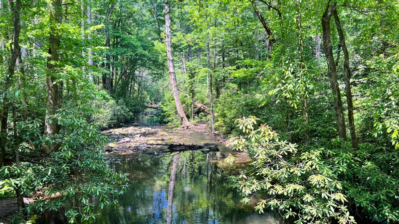
Located within the Warwoman Wildlife Management Area outside of Clayton, Georgia, Sarah’s Creek, or FS 156, is a trail that offers a fun offroad challenge and ample solitude for those looking to escape. The trail begins as a simple road providing access to the Sarah’s Creek Campground, which the National Forest Service manages. This is an improved campground that offers standard amenities with flat pads, fire pits, and outhouses.
While the trail begins as paved, the farther north you travel, the more degraded the road surface becomes. Once you pass the NFS campground, you’ll come to a creek crossing, which marks the start of the interesting obstacles. Immediately after the creek crossing, you’re faced with a rocky, washed-out section. Scout before you commit, as this serves as the gatekeeper, and turning around is very difficult. Narrow width and short wheelbase or big lifts and large tires are your friends here. Otherwise, you can count on busted mirrors or smashed bumpers.
Past this highlight obstacle, the trail is interesting but not nearly as pucker-inducing. Dispersed campsites are fairly abundant, but they can be small. The trail comes to an end at a large turnaround. Although it appears two more trails have been cut into the woods, these are not officially recognized trails and should be considered illegal.
Updated: 07/08/2026
Tumbling Creek
Dunn, Georgia
Tumbling Creek is one of the eight roads that make up the overlanding route around the Cohutta Wilderness Area. When traveling from the south to the north, the road quickly loses elevation, leaving the ridgelines' broken views behind you as you wind your way down to the lush laurel-lined trail below. Once towards the bottom, the road drives beside sections of its namesake, Tumbling Creek, with picturesque campsites dotted along its banks. Keep an eye out for mini waterfalls and bear! Most of this road is closed from January - March.

Updated: 03/09/2024
Hightower Gap Road
Suches, Georgia
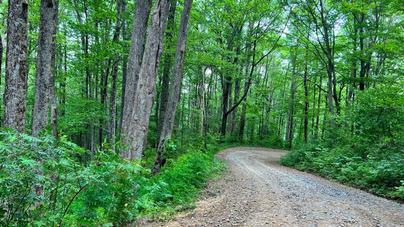
Just south of Suches, Georgia and not too far from Amicalola Falls State Park lies Hightower Gap Road. This easy trail is the connector route from Hightower Gap to Winding Stair Gap. In addition to numerous camping areas and some outstanding views, there is also an intersection with the famous Appalachian Trail and a small parking area at the northern trailhead making this an excellent trail for day hikers. So whether you're looking for some top-notch camping areas, day hiking on the Appalachian Trail or just out for an easy scenic drive through the mountains, don't pass up Hightower Gap Road.
Updated: 04/27/2026
Three Forks
Hasslers Mill, Georgia
Three Forks is part of the Cohutta Wilderness Area loop. It is mostly gravel with sections of embedded rock. This section of the loop includes older-growth hardwood trees that make a dense canopy for most of the route, so thick you will see plenty of moss growing on the trunks of the trees you pass by. As a bonus, this road has the Mountaintown Overlook, which gives expansive views of the valley below and ridgelines off in the distance. Several dispersed campsites can be found along this section of the loop. Most of this road is closed from January - March.

Updated: 10/16/2022
Finney Creek Road
Clayton, Georgia
A short and scenic trail just outside Clayton, Georgia, Finney Creek Road is one of many Forest Service roads in the Warwoman Wildlife Management Area of the Chattahoochee National Forest. Surrounded the entire way by sights and sounds of nature, there are plenty of camping and hunting areas along the trail as well as the main Warwoman Wildlife Management Area wild game check-in station. With hunting, camping and it's close proximity to numerous other trails, Finney Creek Road is a great trail to hit while out exploring the area.

Updated: 12/18/2023
Bull Mountain Road
Dahlonega, Georgia
One of many short offroad trails in the Blue Ridge district of the Chattahoochee National Forest, Bull Mountain Road is a very scenic forest service road that offers access to the Bull Mountain trail system, a 50-plus mile trail system for horses, mountain bikes, and hikers.

Updated: 05/15/2023
Water Gauge Road
Tallulah Falls, Georgia
Situated in the Chattooga River District of the Chattahoochee National Forest, just outside Tallulah Falls, Georgia, lies Water Gauge Road - a relatively smooth gravel Forest Service road offering access to the famous Chattooga River. The border between Georgia and South Carolina, the Chattooga River is a whitewater river where the 1972 movie Deliverance starring Burt Reynolds was filmed. A short hike down the Water Gauge Hiking Trail at the end of the road leads to numerous access points to the river for fishing, watching the whitewater rafters or just relaxing along the river.

Updated: 10/15/2024
Scull Shoals Experimental Forest Trail
Maxeys, Georgia
Take a break from cheering on the Dawgs in Athens to get out and explore the Scull Shoals Experimental Forest. While the trails in this area are not difficult, they provide a great opportunity to experience Georgia's natural beauty. The trail connects with Moose Finch and the Scull Shoals Trail.
Several spurs off the main trail lead to dispersed campsites. Campsites are typically open areas featuring a rock fire ring. There are no fees for using these locations.

Updated: 09/19/2023
Guard Camp Road
Cornelia, Georgia
About halfway between Cornelia and Toccoa lies Guard Camp Road. This trail is the northern main entrance to the Lake Russell Wildlife Management Area, a 17,000+ acre area known for primitive camping, hiking, hunting, and fishing. One of only three trails in the area open year round, Guard Camp Road is the connector road from the northern entrance game check station all the way down to Red Root Road. With superb hunting access, hiking trail access, and primitive camping, Guard Camp Road is a great place to explore while out for a day or weekend in the mountains.

Updated: 09/19/2023
Brown Bottoms Road
Cornelia, Georgia
About halfway between Cornelia and Toccoa lies Brown Bottoms Road. One of the main routes through the Lake Russell Wildlife Management Area - a 17,000+ acre area known for primitive camping, hiking, hunting and fishing - this trail is one of only three trails in the area that is open year round. The connector trail between Red Root Road and Guard Camp Road, Brown Bottoms Road also crosses the Middle Fork Broad River just after its source. With so many fun activities, Brown Bottoms Road is a nice easy scenic trail to explore while in the area.

Updated: 07/17/2026
Chattahoochee River Road
Scorpion Hollow, Georgia
Starting immediately north of the popular town of Helen, this easy gravel road climbs to the top of Unicoi Gap and reconnects to Highway 75. Lots to do on this one! Numerous access spots along the Chattahoochee River along the southern section are popular with trout fishermen. Access to seasonal hunting roads makes it popular with hunters as well. The trail has multiple outstanding roadside campsites and two improved campgrounds, Low Gap Creek Campground and Upper Chattahoochee River Campground. The road is well maintained with small solid bottom potholes and small ruts around corners, making this one suitable for any high clearance vehicle.

Upgrade your Membership
Unlock all of the details on every Trail Guide and Scout Route.
Start a 7-day Free TrialCommunity
Partners

