













By clicking "ACCEPT", you agree to be the terms and conditions of each policy linked to above. You also agree to the storing of cookies on your device to facilitate the operation and functionality of our site, enhance and customize your user experience, and to analyze how our site is used.
Colorado Off-Road Trails
602
Total Trail Guides 575

6450
Detailed Waypoints 568
Try a Free 7-Day Trial and unlock it all
Start a Free Trial Most Recent Trail Reviews
Rated 5/5
Open
Visited: 09/22/2026
Scenic road connecting to other alpine loop trails. it's not very technical or hard. but if you don't prefer shelf roads, maybe that can be considered hard. Red Mountain peaks are awesome. the scenery...



Mustafa ParDane
Official Crew
Rated 5/5
Open
Visited: 09/22/2026
Besides the shelf roads, there is not other bug obstacle or anything technical. As always, it has really good views :)


Mustafa ParDane
Official Crew
Rated 5/5
Open
Visited: 09/22/2026
Views are awesome as always with any alpine loop trails. There is a very short hike at the summit that takes you to even higher point with better views. Lake Como looks very good from there.


Mustafa ParDane
Official Crew
Rated 5/5
Open
Visited: 09/22/2026
Started from Lake City as most people recommend running the alpine loop clockwise. I think that was a wise choice because I didn't have a lot of ongoing traffic. The views are awesome and they start r...


Mustafa ParDane
Official Crew
Rated 5/5
Open
Visited: 09/22/2026
Tough trail, lots of technical spots throughout. Dont attempt solo or with any kind of stock truck!


Greg Dermann
Rated 4/5
Open
Visited: 09/22/2026
Just a dirt road with lots of potholes. Nothing technical. Drove this up to the 401 Trailhead to bike. Pretty busy with folks camping and leaf peeping. Overall it is in a pretty area and theres good c...



Davis McPherson
Rated 4/5
Open
Visited: 09/22/2026
Ok I have not run that trail in the last 4 years. I don't recall it looking like the photos. Did it recently get this way (rock garden) and get the difficult rating?
C
coyoteslocos
No Rating
Temporary Closure
Visited: 09/21/2026
Sign at the bottom of the hill says road construction but when you get to the turn off it is blocked.
PD
Paul Dixon
Rated 5/5
Open
Visited: 09/21/2026
Ran the trail from Westcliff side over the pass and into Great Sand Dunes NP. Had great weather. Don't think it had rained much in the days prior. So, the trail was dry. Think the difficulty ratin...



Stephen
Rated 5/5
Open
Visited: 09/21/2026
Id put it at a 3 some larger rocks mud and shelf roads: beautiful trail. Highly recommend.


Brian mckie
No Rating
Open
Visited: 09/21/2026
There is an area towards the end of this trail not long before it opens into the meadow that is very shaded and has become a mud hole. Well, somebody with a vehicle not capable enough to get through i...

Curt Greeley
Rated 5/5
Open
Visited: 09/20/2026
Ran this trail for the first time on 9/20/26. Absolutely stunning views and the leaves were almost at peak. This might be my new favorite trail to run during this time of year. Not difficult, but long...



Jack Mackie
Rated 4/5
Open
Visited: 09/20/2026
I wanted to run this trail on my way out from the gulches area but when I got down to the first stream crossing it had a few large logs placed in it. Im not sure if this is for traction or what, but I...
Jack Mackie
Rated 5/5
Open
Visited: 09/20/2026
First time out here and I ran this alone on 9/20/26 coming back from Old Stage 220. Took Sportsman Rd to get to 220 so I decided to take this to trail to get back to Cedar Mtn Rd. This is more fun tha...
Jack Mackie
Rated 5/5
Open
Visited: 09/20/2026
This is one of my favorite trails. I like to start at St. Mary's and run it in reverse lf this trail guide. I prefer to take most of the steep sections downhill, but if you want a fun challenge, then ...


Tim
Rated 5/5
Open
Visited: 09/20/2026
Ran this on 9-20-26 up to the Phoenix rocks. WK2 3" lift on 33's. Never been in this area before but I have read many of the reviews on here about the gulch trails. I was alone and the phoenix rocks w...

Jack Mackie
SH
Sharon Hansen
Rated 5/5
Open
Visited: 09/20/2026
Maiden voyage for my stock suspension 1994 Wrangler. The trail was surprisingly rocky in the beginning. Beautiful views and not too much traffic.
SH
Sharon Hansen
Rated 2/5
Partially Open
Visited: 09/20/2026
While there were some aspen views, this is not the best place to find them. Most of the views of the surrounding area are obscured by pine trees that are close to the road. Many of the overlooks are o...
MG
Mike Gerdts
Rated 4/5
Open
Visited: 09/20/2026
We enjoyed the trail. Beautiful scenery. Definately narrow in some areas. The terrain itself wasn't so difficult. Clearence is needed for some of the rocks in the trail.


Lisa Johnson
Rated 4/5
Open
Visited: 09/19/2026
Ran it in a 157"WB F150 on 33's, and would probably run it in a passenger car. Great views, easy climb and the switchbacks were totally navigable in a fullsize. Some of the roads on top are more app...
J
Justin
Rated 5/5
Open
Visited: 09/19/2026
The last descent at the end is kind of muddy so take it extra slow.



Joshua Scurran
Rated 5/5
Open
Visited: 09/19/2026
Ran east to west. The ascent at waypoint 14 has been cleaned up considerably - not sure if this was the work of the recovery crew we passed who were headed up Mt Baldy road, but it was much less rocky...

Jeff Dew
JG
Joseph G Botthof III
No Rating
Temporary Closure
Visited: 09/19/2026
Following up on Ryan's post, multiple incidents have occurred of vehicles sliding off the trail at washouts. CO4x4RNR was up yesterday recovering a vehicle, and we were told the trail will remain clo...

ERIC D BROWN
Rated 5/5
Open
Visited: 09/19/2026
Epic views at the top make this in and out road a must see on my list. Shelf roads with a few areas for passing. Switchbacks and 12"-18" boulders in only a few places to navigate. 4wd and good clearan...



Desi
Rated 5/5
Open
Visited: 09/19/2026
Expect closures Sept 21-24 for pipeline maintenance starting near the trestle. Perhaps related, there’s a rusty 4-6” pipe sticking out of a puddle near the trailhead at the top.
It’s been a bit rai...

MG
Mike Gerdts

Kirk Kneezle
Kirk Kneezle
Kirk Kneezle
WH
William Harkcom
No Rating
Temporary Closure
Visited: 09/18/2026
Forest Service has closed the trail due to washout damage. No ETA yet on fixes or reopening.


Ryan Boudreau
Official Crew
No Rating
Open
Visited: 09/18/2026
Only drove it to the Chinns Lake cutoff, but that part was in great condition. They've recently laid down new gravel on the lower portion in the neighborhood, it is super smooth.
S
Scott
No Rating
Open
Visited: 09/18/2026
Great condition. Only tough spot is some deep holes just before you get to the lake, otherwise it's easy. The mud holes are deeper than I remember, but it's been raining quite a bit. Lake is very, ...
S
Scott
No Rating
Open
Visited: 09/18/2026
We ran it downhill from the Miner's Gulch area. It's an easy descent thru the forest, a few rocks here and there, nothing major. Nice view of the aspens and rain clouds moving thru the area. Decent...
S
Scott
No Rating
Open
Visited: 09/18/2026
Mostly moderate, but a few spots are pretty rough with unavoidable and awkwardly placed boulders - stock vehicle are likely to hit their rocker panels. Good approach angles and rock sliders are your...
S
Scott
Rated 5/5
Open
Visited: 09/18/2026
Trail is in great condition, views from the top are magnificent.
S
Scott
Rated 4/5
Open
Visited: 09/18/2026
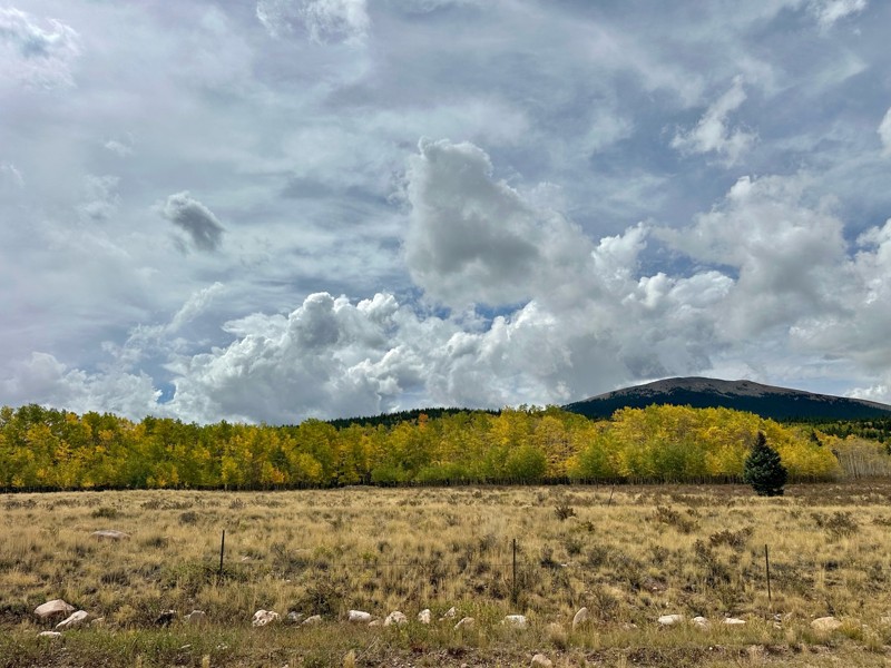
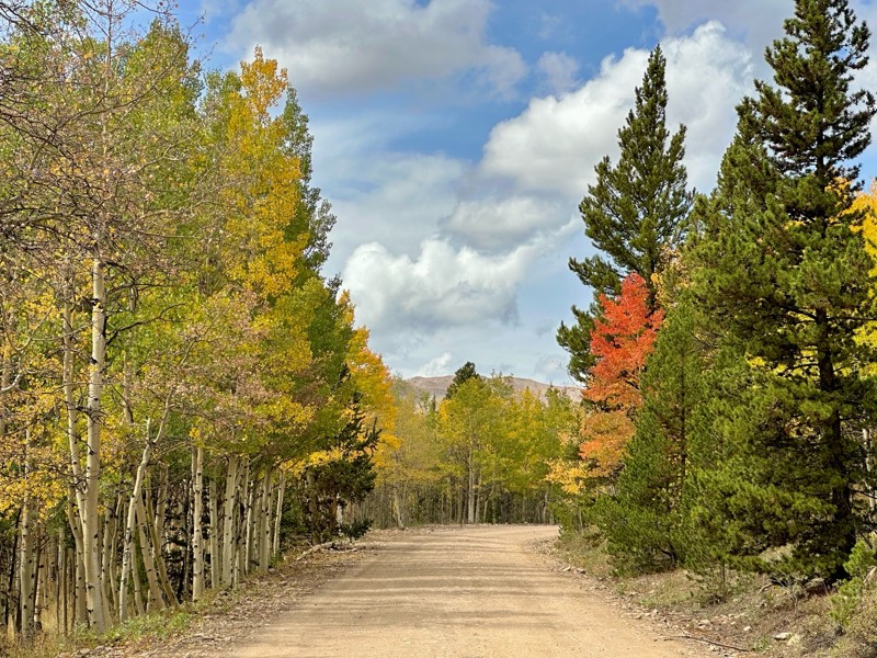
Went up for the aspens and I’d guess, for the most part, they’re maybe a few days past peak. Ran it in “reverse” starting from the east trailhead and there was still plenty of good color to see. Close...

Scott Bram
Rated 5/5
Open
Visited: 09/18/2026
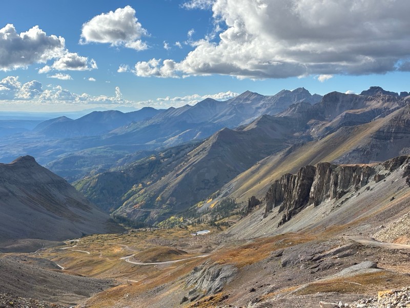
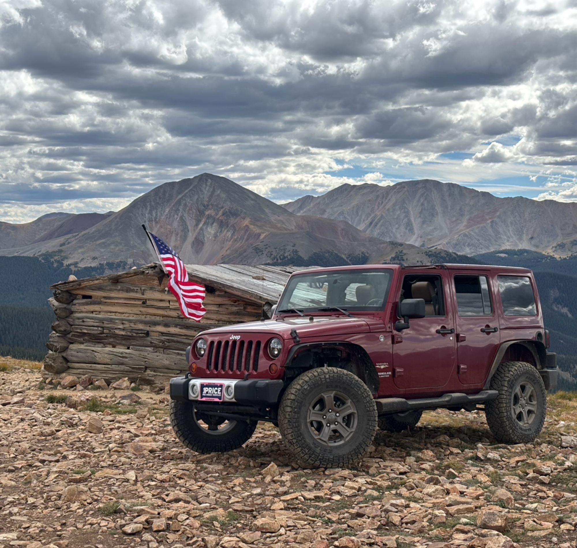
Ran the trail starting in Telluride on Friday the 18th. The trail is open the whole way through to Ouray. Very little dust thanks to all of the rain lately made our first time on Imogene very pleasant...
Matthew Stef
Rated 5/5
Open
Visited: 09/18/2026
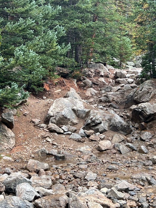
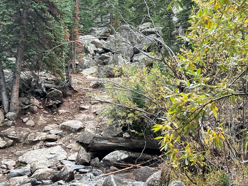
Fantastic views. Great time of the year to go - less likely to need to pass other vehicles on some steep ascents. The “gatekeeper” obstacle and narrow (no room to pass) sections are the major conside...
TK
Tarik Khatib
Rated 5/5
Open
Visited: 09/18/2026
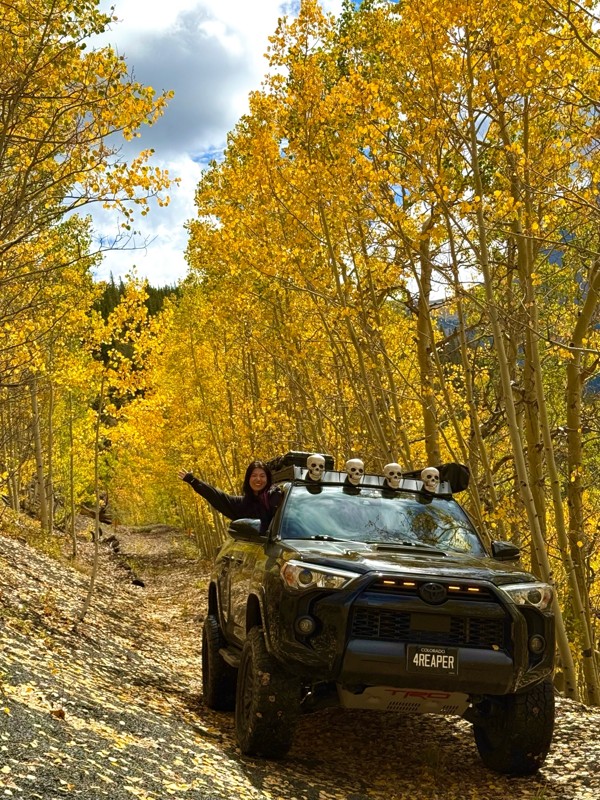
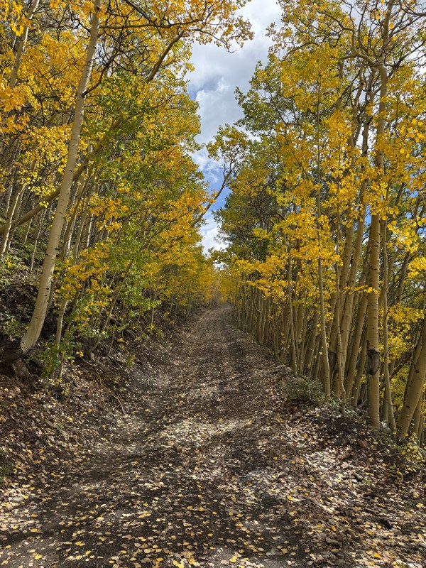
We honestly didn’t mean to take this road but ended up on this road on accident looking for a way to get from Georgia pass to Breck. The colors were amazing!! We came east to west so we were heading d...
V
Vince
Rated 5/5
Open
Visited: 09/18/2026
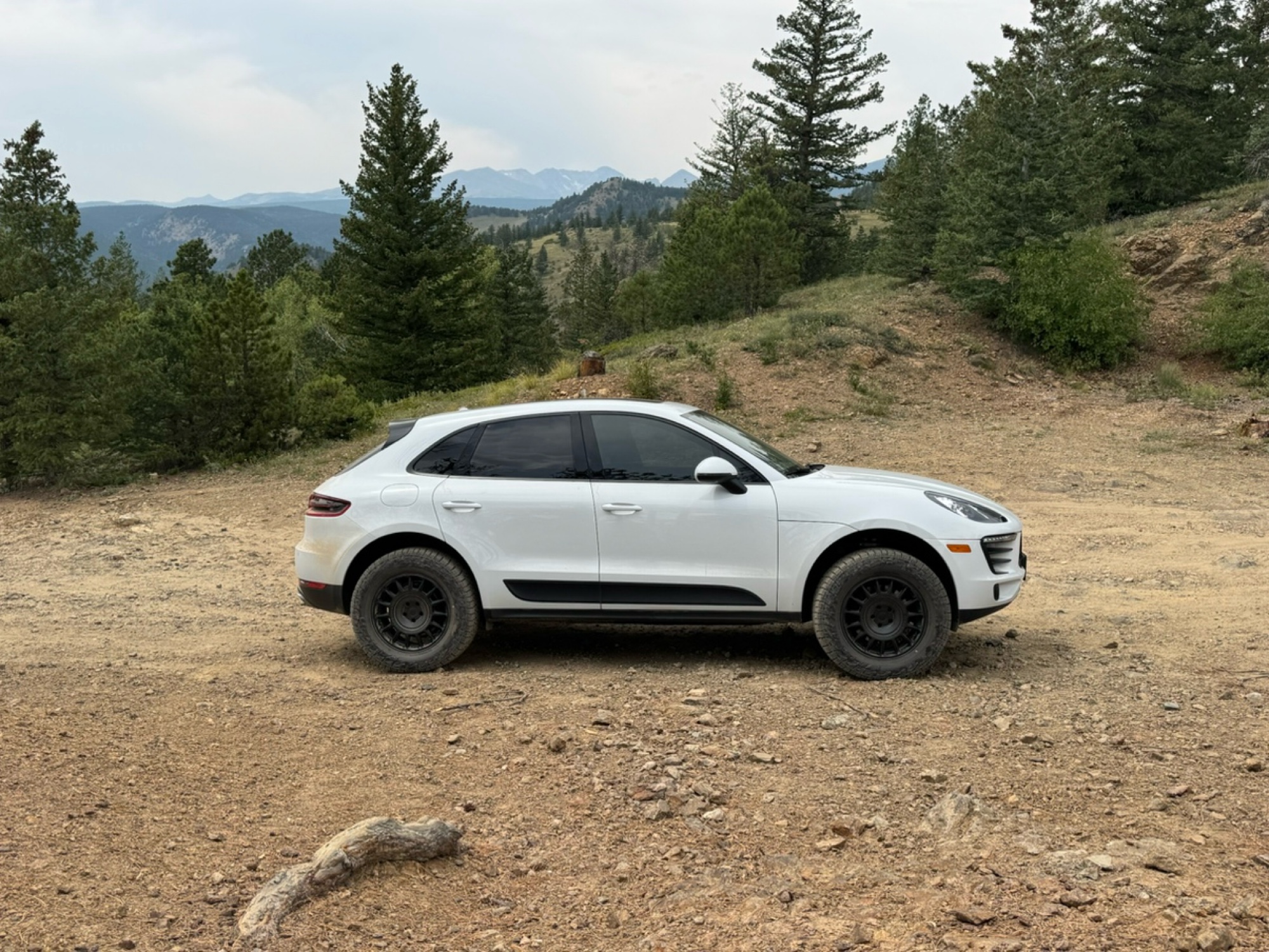
Beautiful trail. Fun whoops and a pretty rocky section. Would definitely recommend not taking the family sedan.
Wade Williams
Rated 5/5
Open
Visited: 09/18/2026
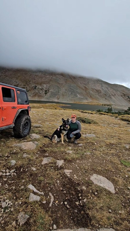
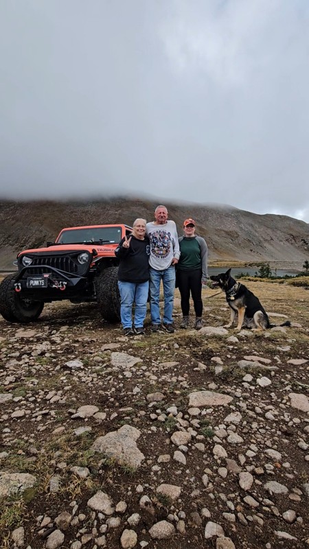
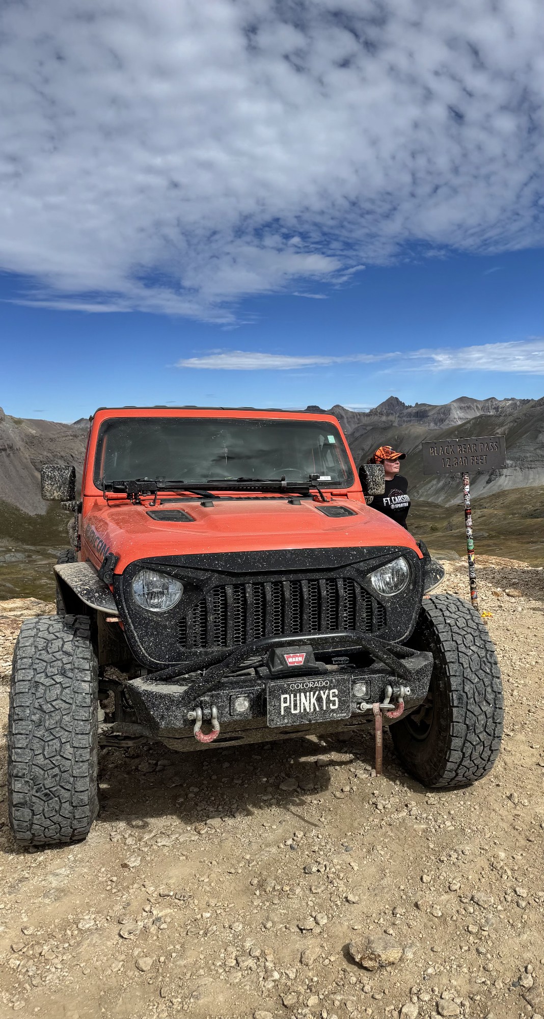
Super fun trail! Good mix of choosing some lines depending on clearance but nothing crazy or scary feeling. Moody views, but I prefer it that way.
Tamara Gold
No Rating
Open
Visited: 09/17/2026
Did this from East to West and it was a fine leaf peeping drive.
SB
Seth Burmeister
No Rating
Open
Visited: 09/17/2026
17 Jeep Renegade FWD, Stock size All Terrain tires 225/55R18
Scraped the bottom once on a rutted out area but simple tire placement would avoid that. After the Waterfall (waypoint 10) due to it rainin...
SB
Seth Burmeister
No Rating
Open
Visited: 09/17/2026
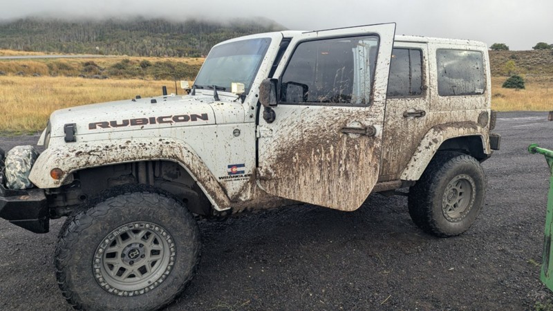
trail is an all day adventure. we took 5 hours to traverse the 8 miles of the trail in a constant rain. lots of mud and very rocky boulder fields keep you moving slow and slipping over the rocks.

Gregory A Hatch
No Rating
Open
Visited: 09/17/2026
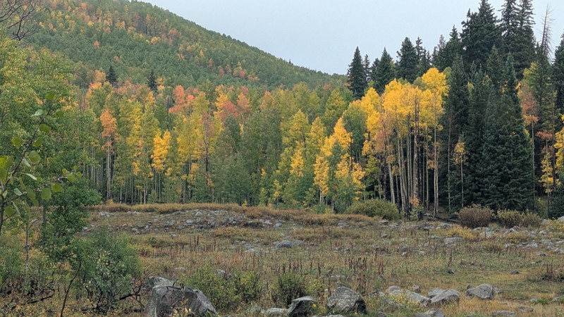
Fantastic trail in the Fall with numerous Aspen groves. Love the varied terrain.
DP
David P Miller
Rated 5/5
Open
Visited: 09/17/2026
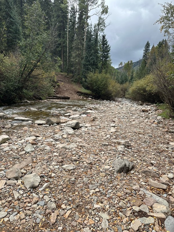
Nice fire road, some washboards n slight rocks. Semi-high clearance is all you need.
B
Bert
Most Popular


Updated: 07/22/2024
Imogene Pass
Open
/
Telluride, Colorado/
12.05 miles/
About 3 hours
Imogene Pass offers gorgeous scenery and traverses a backcountry rich in mining history. It offers an opportunity to look back in time and relive what it would have been like to live and work in harsh alpine mining environments. Immense mining structures and machines are plentiful along what was once the most prosperous gold and silver mining area in Colorado. Book-ended by the beautiful towns of Telluride and Ouray at either end of the trail, it is no wonder this is a Jeep Badge of Honor Trail.

Updated: 07/20/2024
Engineer Pass Road
Open
/
Lake City, Colorado/
21.02 miles/
About 4 hours
Engineer Pass is well known as part of the iconic Alpine Loop trail network in the high San Juan Mountains. Many roads criss-crossing over the peaks were established during the late 1800s to support mining operations seeking gold, silver, lead, and other ore deposits. These trails provided lifelines to transport ore, people, and supplies between the mines and the nearby towns of Silverton, Ouray, and Lake City.
Those looking to have a quintessential Colorado weekend adventure can complete the Alpine Loop, leaving Lake City via Cinnamon Pass and connecting to Engineer Pass Road in the area of the Animas Forks ghost town. Easily extend the adventure by connecting to iconic trails like California Pass, Picayne, Placer Gulch, and more. Regardless of where you start Engineer Pass, opportunities are plentiful to test your skills, explore the backcountry of Colorado, and even touch the skies at mountain summits along the way.
The San Juan Mountain Range is full of mining history and ruins. Some are marked clearly, while others are not. The BLM has worked with local historical societies to restore structures and make them safe to enter. These are typically well-marked with informational signage and placards. Many mining sites have been left to the elements and should be appreciated from afar as they are no longer structurally sound.
If you are looking for epic scenery, you'll find spots all along the trail worth stopping for. Odem Point and the official summit have breathtaking panoramic views of the surrounding peaks, including the Uncompahgre, Coxcomb, Wetterhorn, and Wildhorse mountain peaks. The view is so expansive at Oh (Odem) Point that on a very clear day, you might see all the way to Utah if you turn your eyes to the west. Whitmore Falls Scenic Overlook at Waypoint 14 offers a beautiful waterfall after a short hike down a well-marked footpath.
This trail is easily traversable by a stock 4WD and can be enjoyed by all drivers, from the beginner to the experienced, with something for the whole family. While this trail isn't rough, it is a proper offroad trail and will test your fortitude with high-altitude shelf roads subject to quick weather changes.
Jeep® Owners: Engineer Pass Road is a Badge of Honor trail. Visit the Jeep® Badge of Honor mobile app to check in on the trail and earn your official badge.

Updated: 06/29/2024
Yankee Hill Road
Open
/
Central City, Colorado/
5.76 miles/
About 2 hours
Located just west of the historic mining and gambling town of Central City, Yankee Hill Road takes you directly into a network of off-road trails known as the Yankee Hill Trail System. This large trail network offers amazing high alpine views and miles of trails that can be combined to create numerous routes for a full day or even an entire weekend of off-road fun.

Updated: 11/07/2024
Rimrocker
Open
/
Montrose, Colorado/
160.88 miles/
About 2 days
The Rimrocker Trail is a route of connected trails that allows you to enjoy 160 miles of off-pavement travel while experiencing the many different stunning landscapes that connect Montrose, Colorado to Moab, Utah. The trail is an especially vibrant destination to travel through the aspens during their fall color changes as well as stopping for the fantastic views at the overlooks. Towards the west end of the trail, the Manti-La Sal National Forest provides beautiful scenery and wildlife as well as gorgeous views of the La Sal Mountains. As you approach Moab, the landscape quickly turns from forest into desert as it transitions to some shelf roads built of the signature Moab red sand. Rimrocker travels through some historic areas of Colorado, highlighting the areas that reflect the mining days of the early 20th century. One area, in particular, is the old, abandoned company town of Uravan. Uravan is a contraction of Uranium and Vanadium. The town was a company town established by U. S. Vanadium Corporation in 1936 to extract the rich vanadium ore in the region. As a byproduct of vanadium extraction, small amounts of uranium were also produced. You will notice a green hue to many of the rocks as you travel through this region. The green hue is an indication of the presence of uranium ore. This trail is an overlander's dream trail offering multi-day camping opportunities, scenic vistas, impressive flora/fauna (absolutely massive swaths of Aspen stands), and a multitude of ever-changing biomes and landscapes. This trail is definitely one to take your time on, soak up the glorious sights and sounds, and make some new incredible memories. Whether you are brand new to overlanding or a seasoned wheeler, this trail has something for everybody. Don't forget the camera!

Updated: 10/07/2025
Red Cone
Open
/
Grant, Colorado/
5.98 miles/
About 2 hours
Red Cone is one of the most iconic trails in central Colorado. This four-wheel-drive trail provides spectacular views of the divide, with several rocky obstacles at the beginning and a once-in-a-lifetime descent near the end. The upper portion of the trail traverses the ridge lines around 12,000 feet with views for miles, but the steep, one-way descent at the end is a unique feature of this trail. Red Cone is also a key connecting trail to nearby trails, such as Webster Pass and the Montezuma trail system. Combining this with those trails creates a full day of offroad fun. A well-equipped vehicle with high clearance and low range is required.

Updated: 11/18/2025
Black Bear Pass
Open
/
Telluride, Colorado/
9.79 miles/
About 2 hours
The sign that once stood at the trailhead said it best; You don't have to be crazy to drive this road - but it helps. Traveling between Silverton and Telluride, Black Bear Pass is a legendary shelf road with 1,000-foot drop-offs, dangerous off-camber switchbacks, tight turns, and loose shale. It offers amazing mountaintop scenery as you climb to 12,840 feet and pass the breathtaking 365-foot Bridal Veil Falls, the tallest waterfall in Colorado. This Jeep Badge of Honor trail rightfully earns its title as one of the most dangerous trails in the country.

Updated: 06/10/2025
Rampart Range Road
Open
/
Woodland Park, Colorado/
57.09 miles/
About 4 hours
Picturesque Rampart Range Road is the perfect introduction to trails on the Colorado Front Range. The 60-mile road winds through the stunning Pike National Forest and follows the entire length of the Front Range south of US 85. The road's southern end offers smooth driving and breathtaking views of Pike's Peak that will leave you spellbound. Built in the 1930s by the Civilian Conservation Corps as part of efforts to escape the Great Depression, Rampart Range Road is a testament to Colorado's history and resilience. Nowadays, the road connects counties, trails, and off-roaders, making it a hub of recreation and a popular destination for adventurers seeking an escape from the hustle and bustle of Denver life.

Updated: 06/03/2025
Kingston Peak
Open
/
Rollinsville, Colorado/
8.22 miles/
About 3 hours
Situated about an hour from the Denver and Boulder Metro areas, Kingston Peak is a high-altitude trail that is a must-do for anyone in the area. Although they call this the Kingston Peak Trail, the real beauty and focal point are the amazing views of James Peak for almost the entire route. James Peak is 13,294 feet and is named in honor of Dr. Edwin James, an early explorer, historian, and botanist who was a member of the famous Stephen H. Long expedition to Colorado in 1820.

Updated: 10/07/2025
Cinnamon Pass
Open
/
Lake City, Colorado/
25.03 miles/
About 4 hours
Winding through the spectacular scenery of the San Juan Mountains, Cinnamon Pass is the southern half of the world-renowned Alpine Loop Scenic Byway. This trail, just outside of Lake City, Colorado, showcases ghost towns and mines from the 1880s while providing epic scenic overlooks and stunningly beautiful wildflowers along the drive. Whether you are a beginner or a seasoned offroad veteran, this trail will easily have a hypnotizing effect on you, and you will find yourself stopping often to take pictures.

Updated: 07/22/2024
Ophir Pass
Open
/
Ophir, Colorado/
10 miles/
About 2 hours
Climbing to 11,789 feet and passing through both the Uncompahgre National Forest and the San Juan National Forest, Ophir Pass is a spectacular mountain pass that offers alpine views of the upper Ophir Valley and neighboring peaks. This pass has been traversed for hundreds of years for many different reasons. The pass was originally used by the Navajo on hunting trips between the San Miguel and Animas Valleys. In 1878, the tiny mining town of Ophir was established, and by 1881 the new Ophir Pass Toll Road began to carry goods between early mountain settlements. The arrival of the railroad decreased the use of the pass in the early 1890s, and the road became a rarely used wagon road. Finally, in 1953, the modern Ophir Pass that we know today was first opened to Jeeps and other off-road vehicles. While the shelf roads may test your fortitude, the views off of this iconic trail are well worth an afternoon. For Jeep owners, this road is 1 of 6 trails in Colorado recognized as a Badge of Honor Trail. Don't forget to use the Badge of Honor app to check in and get a special badge showing trail completion.

Updated: 07/12/2024
Switzerland Trail
Nederland, Colorado
Nestled a few miles west of Boulder, Colorado, Switzerland Trail is an easy outing for an afternoon getaway. Nearly the entire route is a shelf road offering spectacular views of the nearby foothills and the snow-capped peaks to the west. The trail has only slight grades as it follows an old railroad route from Sugarloaf Mountain to the community of Gold Hill. Because Switzerland Trail is open year-round, It can be a popular spot for those who partake in snowy driving adventures.

Updated: 07/23/2024
Medano Pass
Open
/
Gardner, Colorado/
19.99 miles/
About 3 hours
Known as the backway into the Great Sand Dunes, Medano Pass offers travelers a very unique experience you will not find anywhere else in Colorado. One of only a few primitive roads that cross the Sangre de Cristo Mountains, Medano Pass follows the route of the 1806 expedition of Lt. Zebulon Pike, revealing breathtaking scenery, abundant dispersed camping, countless water crossings, and deep sand you generally only find in desert environments. The Great Sand Dunes are the tallest dunes in North America, rising to a maximum height of 750 feet from the floor of the San Luis Valley, covering about 19,000 acres. If you are looking for the only beach-like offroad experience you can find in the Rocky Mountains, Medano Pass is certainly a trail you need to see.

Updated: 08/05/2026
Tincup Pass
Open
/
St. Elmo, Colorado/
12.69 miles/
About 2 hours
Cutting through two National Forests and crossing the Continental Divide at 12,154 feet, Tincup Pass offers beautiful high alpine views while following the same route used by miners and prospectors searching for their fortunes in the late 1800s. This relatively easy route takes you from one historic mountain town right into another. St. Elmo was an important mining and railroad supply center built during the 1880s mining boom and now has only a few residences, while Tincup, originally called Virginia City, has been revived as a popular summer destination, with many historic buildings still in use today.

Updated: 07/19/2024
Bill Moore Lake
Empire, Colorado
About an hour from Denver and situated within the Arapahoe National Forest, Bill Moore Lake 4X4 Road is one of the Empire Loop trails just above Empire, Colorado. This trail offers amazing alpine scenery and fun hill climbs for novice and seasoned wheelers. At the end of the rough terrain, you are rewarded with a magnificent alpine lake on the edge of the James Peak Wilderness.

Updated: 10/15/2024
Mosquito Pass
Leadville, Colorado
Peaking at around 13,185 feet, Mosquito Pass is among the highest North American passes accessible to 4WD vehicles. Connecting the towns of Alma and Leadville, Colorado, this trail offers spectacular views, especially in early autumn when the nearby valley foliage begins to change color. The vibrant gold, amber, and green hues provide a stark contrast to the grey-brown stone and pale grasses covering the high, treeless ridges. Although open for year-round activities, Mosquito Pass can remain locked away in the cold hands of winter until midway through the summer months.
Updated: 07/21/2024
Slaughterhouse Road (aka Slaughterhouse Gulch)
Bailey, Colorado
Slaughterhouse Gulch is a locally famous off-road trail near Bailey, CO, attracting locals in droves most weekends. The loop has several small obstacles, making it perfect for a day of climbing rocky sections and flexing out your suspension. Though the trail isn't particularly scenic, it does offer beautiful aspen groves that turn gold in the fall, drawing leaf-peepers. Multiple large parking areas and proximity to Highway 285 and County Road 43 make it ideal for large groups. Its popularity means it can get crowded on weekends, so visiting on weekdays or planning a night run is best.

Updated: 10/15/2024
Poughkeepsie Gulch
Open
/
Ouray, Colorado/
3.77 miles/
About 3 hours
Traveled primarily for its technicality rather than its mining history, this 4WD trail has long been considered the hardest in the Ouray, Silverton, and Lake City areas. Although challenging, this jeep trail offers spectacular views along the way as it parallels the Uncompahgre River to its source at the jaw-dropping blue water of Lake Como. Poughkeepsie Gulch is often run for its access to "The Wall," a challenging but optional offshoot to a group of embedded rocks with numerous lines to challenge even built rigs. Camping is also a popular attraction to this trail, as there are several dispersed sites lining the trail in the first few miles. Whether you are here for the thrill or the scenery, this trail will not disappoint.
Updated: 08/19/2025
Webster Pass
Montezuma, Colorado
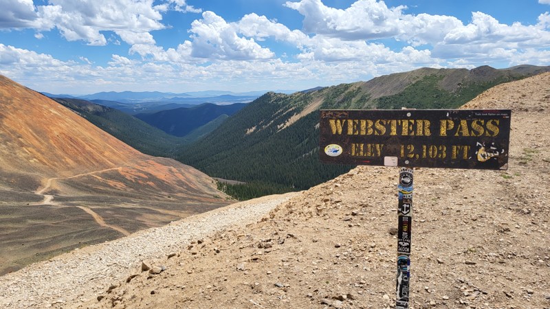
Webster Pass, topping out at 12,103 feet near Montezuma, is a quintessential Colorado high-country route that blends approachable challenge with jaw-dropping scenery. The trail climbs quickly above treeline, tracing narrow shelf roads and loose rocky sections while offering sweeping views of colorful scree slopes, jagged ridgelines, and forested valleys. A seasonal creek crossing at the base sets the tone for an alpine ascent where careful throttle control and steady nerves are rewarded with one of the state’s most dramatic high-elevation drives.

Updated: 08/20/2024
Georgia Pass
Open
/
Breckenridge, Colorado/
11.27 miles/
About 3 hours
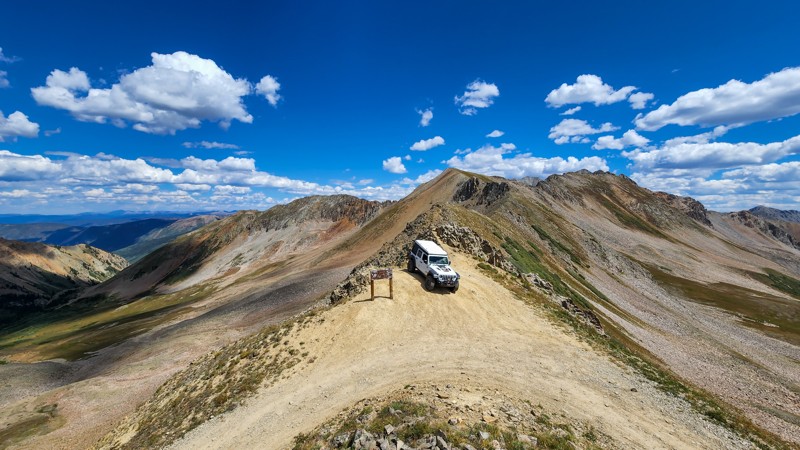
Georgia Pass is the middle and least busy of the three main passes over the Continental Divide in Summit County. While the southern slope is an easy dirt road, the north side offers a fun and thrilling offroad adventure, easy enough for first-time wheelers and exciting enough to get them hooked on the sport.
The trail summits in the saddle between Mount Guyot and Glacier Ridge, with spectacular views of the rugged Swan River Valley and the grassy plains of South Park. The notorious rock garden SOB Hill (a.k.a. Number 10 Road) ends at the summit. It's also a stop on the famous backpacking route, the Colorado Trail.
Updated: 07/07/2024
Pearl Pass
Aspen, Colorado
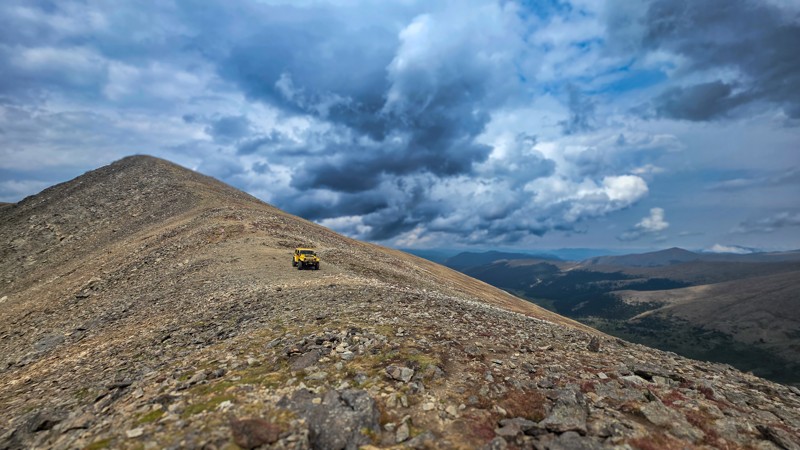
Located just south of the Maroon Bells-Snowmass Wilderness, Pearl Pass is a high alpine off-road trail between Aspen and Crested Butte. The trail has a variety of different terrain, from grassy hillsides and water crossings to coarse rock fields and towering mountains. This extremely rugged mountain pass will amaze you while traveling in some of the most remote terrain in the state, taking in incredible views as you cross the Continental Divide at 12,705 feet. Snow can linger very late into the summer, and some years this pass doesn't fully open due to snow blockage.
Updated: 09/03/2025
Argentine Pass
Georgetown, Colorado
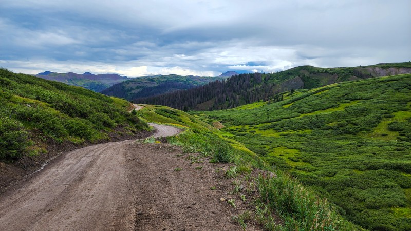
Looking for an offroad adventure close to Denver that's guaranteed to get your blood pumping and take your breath away? Argentine Pass is a beautiful journey through stunning scenery, with moderate obstacles, thrilling switchbacks, and shelf roads that excite your adventure. Along the way, you'll even have the chance to explore the historic Waldorf Mine and Santiago Mines, adding a touch of history to your journey. But the real highlight of the trail is the view from the top - at over 13,000 feet, you'll see Gray's and Torrey's Peaks and, on clear days, awe-inspiring Colorado Mountain vistas in the distance. So grab your vehicle, buckle up, and prepare for the offroad adventure of a lifetime on the Argentine Pass trail.
Updated: 07/22/2024
Stony Pass
Silverton, Colorado
Situated in the San Juan Mountains near Silverton, Colorado, Stony Pass crosses the Continental Divide and is one of the longest uninterrupted off-road climbs in the entire state. It used to be a major supply route into Silverton from the east until 1882 when the Durango to Silverton Narrow Gauge Railroad made it obsolete. It became just a road utilized for mining before it was abandoned. The road was reopened as a four-wheel drive route by the US Forest Service in the 1950s. Optional side trips are available that allow you to travel up to the historic Buffalo Boy Tram Station and beyond up to 13,000' in elevation. Wildflowers, alpine views, and mining history make this a trip worth taking.
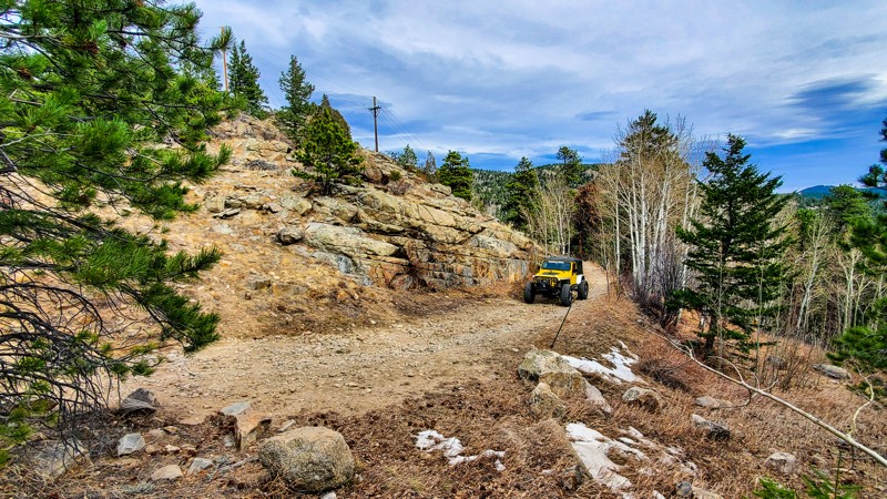
Updated: 07/16/2024
Boulder County Road 68J
Boulder, Colorado
Located just north of Gross Reservoir, in the Arapaho National Forests, Boulder County Road 68J is a rough, 4wheel drive road that connects Boulder with the small mountain community of Ridgewood. This road is an excellent start to escape the city bustle and connect to the amazing camping that is offered along Winiger Ridge. This road is open year-round, and its close proximity to the front range along with its south-facing slopes helps keep the trail relatively snow-free. Enjoy the solitude found in this area, but be sure to respect all private property.

Updated: 07/06/2024
Holy Cross City
Open
/
Minturn, Colorado/
4.42 miles/
About 4 hours
Located in the Sawatch Range, on the side of 14,009 foot Mount of the Holy Cross, Holy Cross City is one of the state's most challenging and famous rock-crawling trails. Stock vehicles should not attempt this trail. Best known for its two most significant obstacles, French Creek and Cleveland Rock, this trail will test your driving ability and your vehicle's durability, while also providing incredible scenery and fantastic historical highlights. Before attempting this Jeep Badge of Honor trail, be sure you have the required equipment indicated at the trailhead. This includes a winch, 33'' or larger tires, locking differentials, and various recovery and repair equipment. This trail is always crowded on the weekends, so expect a full day on the trail as you wait your turn to conquer the major obstacles.

Upgrade your Membership
Unlock all of the details on every Trail Guide and Scout Route.
Start a 7-day Free TrialBrowse Trails in Colorado by City
Browse every Colorado city with offroad trail guides.
Community
Partners

