


By clicking "ACCEPT", you agree to be the terms and conditions of each policy linked to above. You also agree to the storing of cookies on your device to facilitate the operation and functionality of our site, enhance and customize your user experience, and to analyze how our site is used.
Arkansas Off-Road Trails
56
Total Trail Guides 49

582
Detailed Waypoints 58
Try a Free 7-Day Trial and unlock it all
Start a Free Trial Most Recent Trail Reviews
No Rating
Partially Open
Visited: 09/07/2026
went in from the start point and when we got to where it was about to get fun and go up on the overlook section the government had put up signs of no road legal vehicles allowed. so it's kind of a let...

David Sirmon
No Rating
Open
Visited: 08/11/2026
Per the MVUM, the trail is seasonally open. As always, check current fire restrictions/closures before venturing out.

Trails Offroad
Official Crew
Rated 5/5
Open
Visited: 07/11/2026
Map is pretty spot on, several different options for obstacles, does get narrow in some spots but awesome scenery
B
Brianna
Rated 5/5
Open
Visited: 06/20/2026
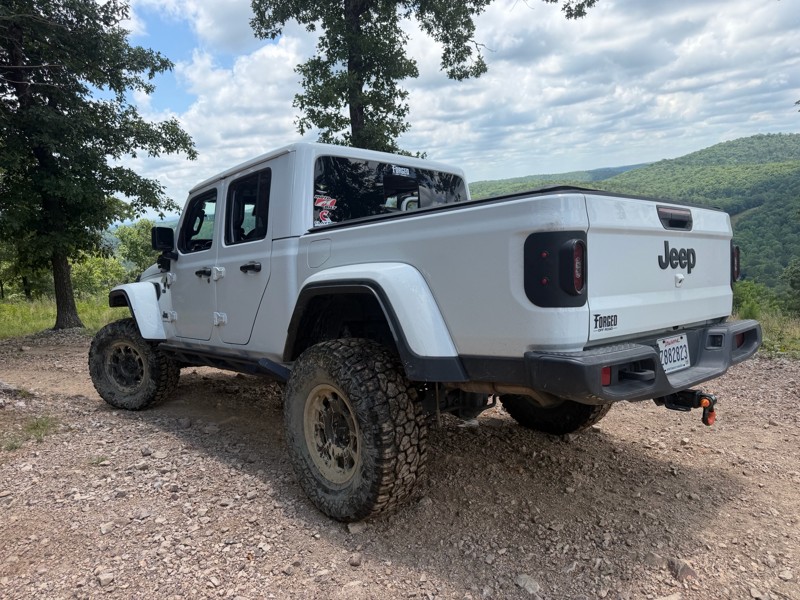
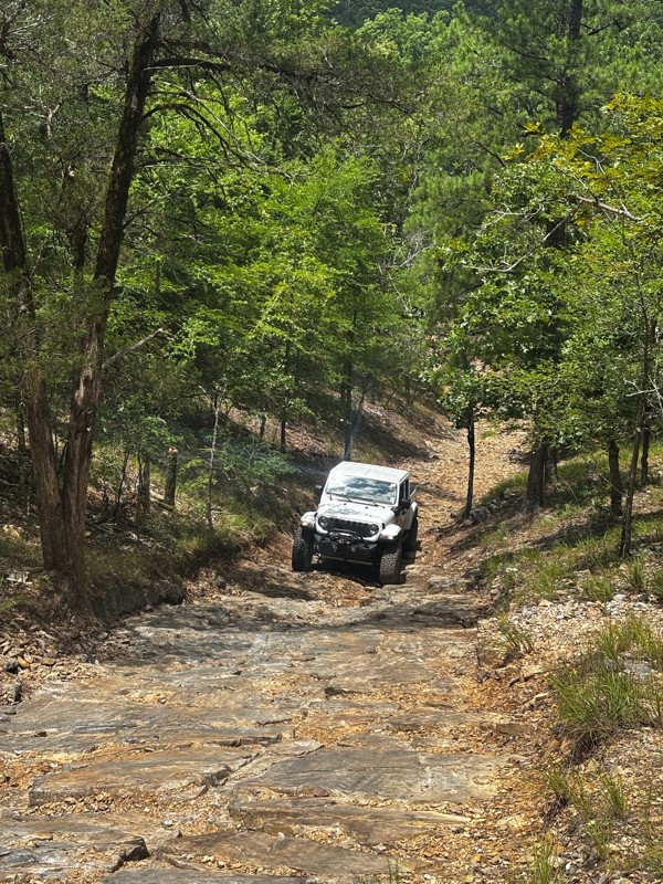
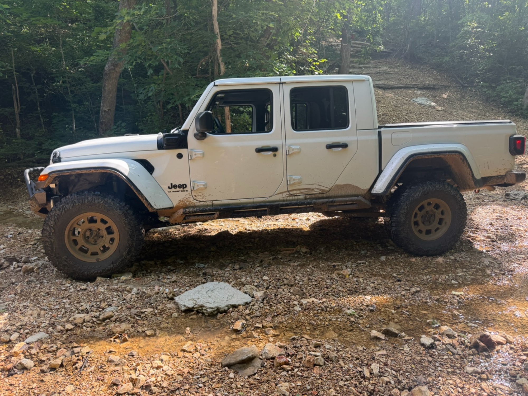
Loved it, 2025 gladiator sport s with 35’s, 2.5” Clayton long arm lift and rock jock anti rock sway bar.
Trail was just the right amount of challenge for myself and my 14 year old. I let him drive t...
Brad
No Rating
Temporary Closure
Visited: 06/14/2026
Unsure if they will open it due to the amount of downed trees. I will reach out to the ranger district and see what I can find out and will post a new review

Jason Clatt
Official Crew
Rated 5/5
Open
Visited: 06/14/2026
what a treat!! To think we have the ability to explore areas and find such amazing trails with fairytale style camping areas. I came across this spot around 10 AM and made my way back to it at 5 PM ...
Jason Clatt
Official Crew
Open
Visited: 06/13/2026
I attempted this in a stock 2026 4runner TRD Off Road. I got to waypoint 3 no problem. Just past way point 3 is a very deep and short crossing. I did not think I would be able to get through it withou...
JL
Jordan Leicht
No Rating
Partially Open
Visited: 06/13/2026
its closed to ohv at waypoint 10
BD
brian d
Rated 5/5
Open
Visited: 05/30/2026
i actually planned part of my route (135mi) to include this section simply because of the pictures and descriptions. loved it
Jason Clatt
Official Crew
Rated 5/5
Open
Visited: 05/30/2026
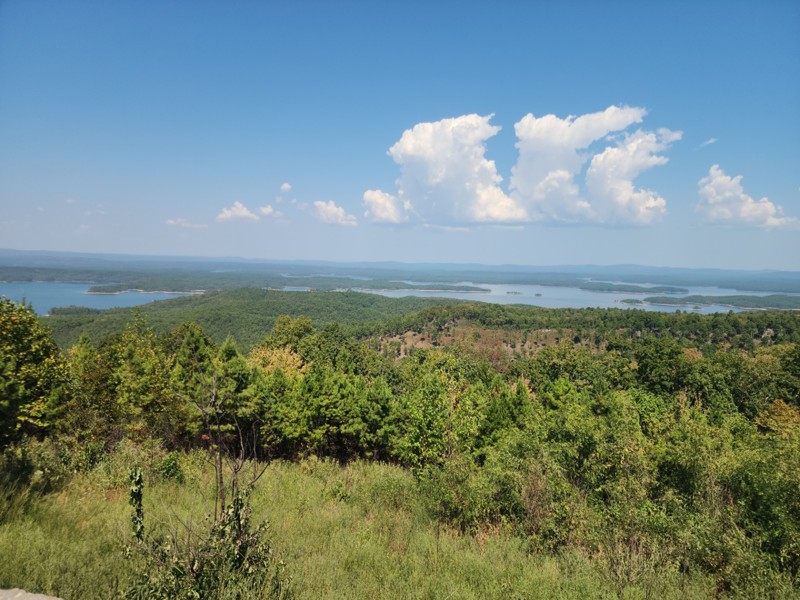
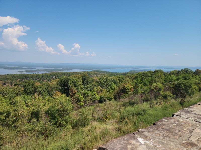
found myself on this road as a connector trail, didn"t know all the amazing camping areas nor the amazing overlook of the lake. It was a great place to stop and make lunch.
Jason Clatt
Official Crew
Rated 5/5
Open
Visited: 05/23/2026
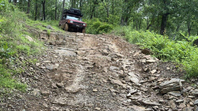
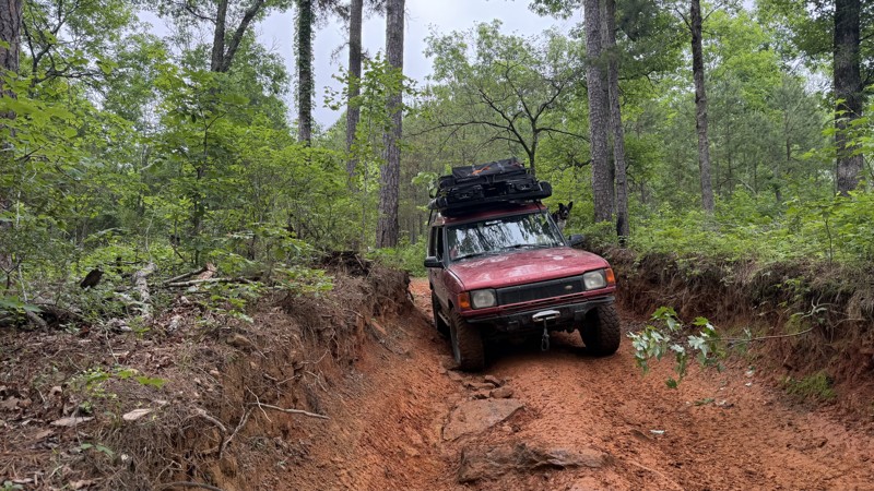
This trail presents a significant challenge, rewarding off-road enthusiasts with breathtaking views. Expect off-camber rock ledges and a notorious swamp section with numerous mud pits. The destination...
Jason Clatt
Official Crew
No Rating
Open
Visited: 05/16/2026
Trail was in great condition all the creek was dry sense no rain today but me and my friends had a blast on the trail and we will be back to finish the last part
A
Anthony
No Rating
Open
Visited: 05/09/2026
After 40 years of being in the passenger seat I am. now driving! This was day 3 of me being behind the wheel. I appreciated an easy trail!
SW
Susie White
Rated 5/5
Open
Visited: 04/26/2026
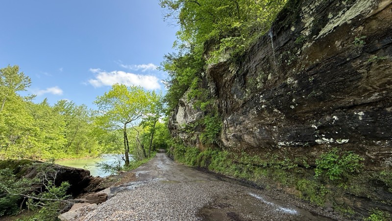
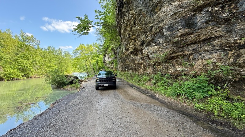
Carwash Falls was a good time today. Even though it rained quite a bit the night before, the water coming off the cliff face wasn’t crazy. The road is in great shape with some small puddles in spots. ...

Shayne Danielson
Official Crew
No Rating
Seasonal Closure
Visited: 03/31/2026
According to this trails management agency, the trail is likely closed for the season.
You can reach out to the agency for more details.
Be sure to leave us a report and let us know ...
Trails Offroad
Official Crew
Rated 4/5
Open
Visited: 03/21/2026
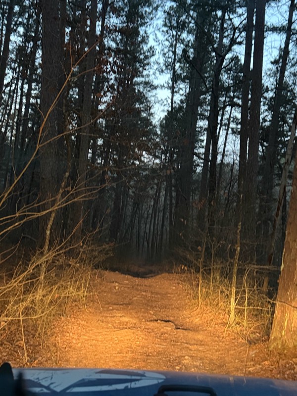
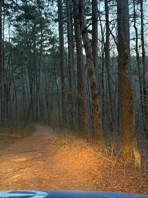
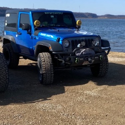
It was a fun little road, I went at dawn it dead ends into a homestead so you need to turn around. But nothing to challenging.
Shark Bait Jeep
Shark Bait Jeep
No Rating
Seasonal Closure
Visited: 03/15/2026
According to this trails management agency, the trail is likely closed for the season.
You can reach out to the agency for more details.
Be sure to leave us a report and let us know ...
Trails Offroad
Official Crew
No Rating
Seasonal Closure
Visited: 03/01/2026
According to this trails management agency, the trail is likely closed for the season.
You can reach out to the agency for more details.
Be sure to leave us a report and let us know ...
Trails Offroad
Official Crew
Rated 4/5
Open
Visited: 02/27/2026
This was a great experience. Prior to this I have run some trails in Moab and two other Badge of Honor trailes in Oregon. The loose rock and dirt made for a very different experience than those ones...
MS
Michael Shortle
No Rating
Open
Visited: 12/28/2025
When wet, this trail becomes quite the test! The ruts are a fun challenge but most can be bypassed
Kevin
No Rating
Open
Visited: 12/22/2025
tight trails and some steep slippery hills but nothing to be scared of does havea few deep creek crossing .
BD
brian d
BD
brian d
Rated 5/5
Open
Visited: 11/26/2025
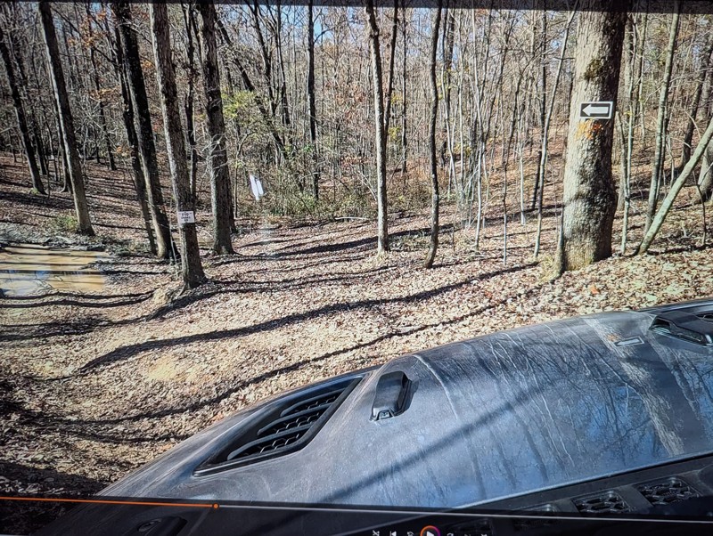
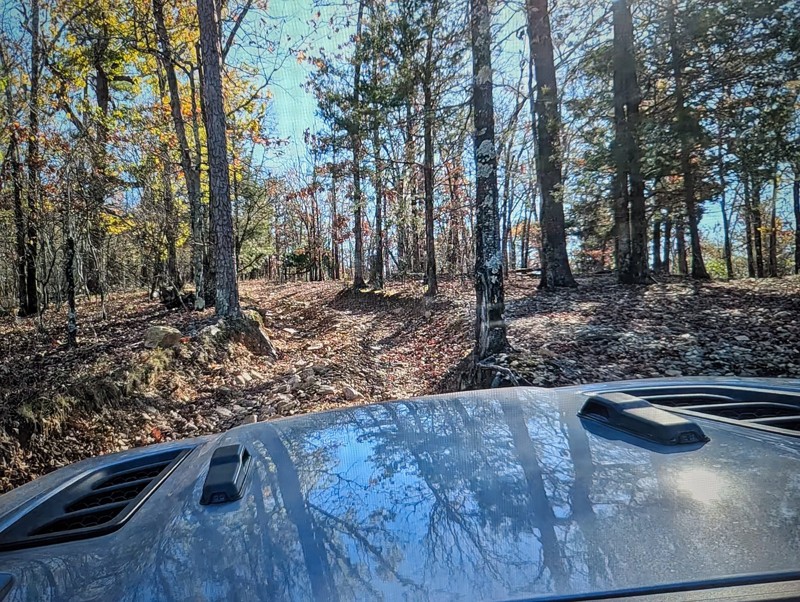
This is a very fun trail that provides a perfect warm up for the beginner to intermediate off roader. Sadly it is no longer a Jeep BOH trail but don't let that stop you from including it in your day...

Michael S Rusinko
Rated 5/5
Open
Visited: 11/26/2025
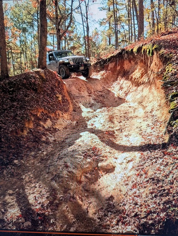
Rubicon Ridge definitely makes you earn your badge! There is no turning back after the initial drop off. You are committed for about an hours ride of awesome steep descents, climbs, and thrilling of...
Michael S Rusinko
Rated 5/5
Open
Visited: 11/26/2025
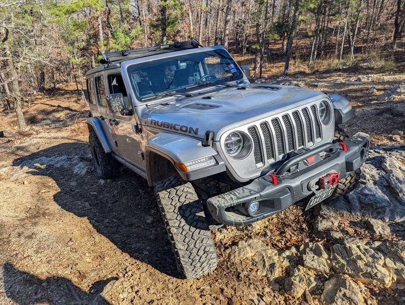
This trail is awesome! A must do trail for off any road enthusiast in the Arkansas area. We drove 8 hours and had a great time winding through the Arkansas woods earning our Jeep Badge of Honor. A ...
Michael S Rusinko
No Rating
Open
Visited: 11/08/2025
Fun trail a little spicy at the end with a stock jeep , but definitely doable .
BD
brian d
Rated 4/5
Open
Visited: 10/30/2025
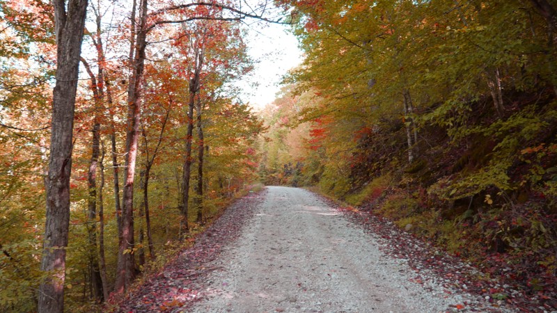
Most of the road is smooth gravel with light washboarding here and there, making it suitable for any high-clearance vehicle and most SUVs. The drive stays on the ridge for much of the route, offering ...

Brent
Official Crew
Rated 5/5
Open
Visited: 10/20/2025
I started the trail at the vista and went down. I had my offroad camper so took it nice and slow the 1st few miles through the rocky section. The trail was alot of fun and could be a nice trail to ru...


craig
No Rating
Open
Visited: 10/19/2025
Jumped on after driving Dare Mine (to loop back to highway). Little more exciting than Dare Mine - more stream-type crossings (although many were dry). More active trail. Saw a number of campers. Stil...
JD
Jon Dickinson
No Rating
Open
Visited: 10/19/2025
Sunny day. About 20 hours after rain storm. Trail essentially dry (but not dusty). Aired down to 25 PSI. Easy trail with some minor (but fun) stream crossings. Occasional rocks less than 3" but some u...
JD
Jon Dickinson
Rated 5/5
Open
Visited: 10/19/2025
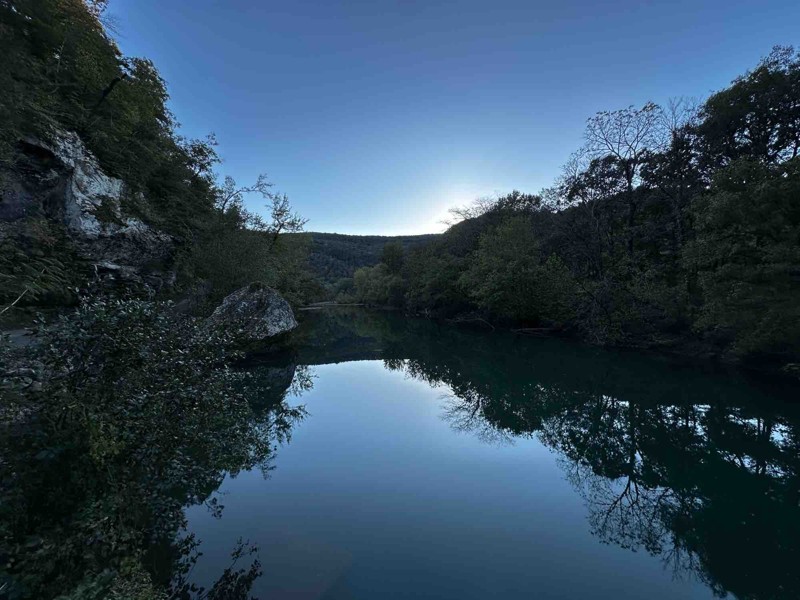
Loved this trail! The views are worth the drive alone. Trail itself was not very difficult but I’m sure with enough rainfall there could be concern in a few spots.

RS
Ryan Safarik
Rated 4/5
Open
Visited: 10/12/2025
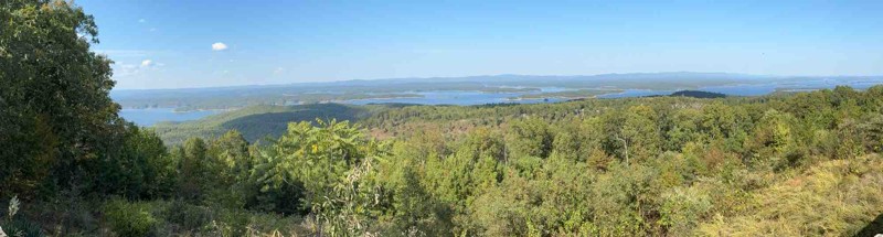
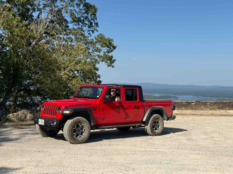
My first off-road in my 2023 Gladiator. It was fun but a little more intense than my wife wanted😜. It was a great first experience…
BT
Brad Teague
Rated 4/5
Open
Visited: 10/07/2025
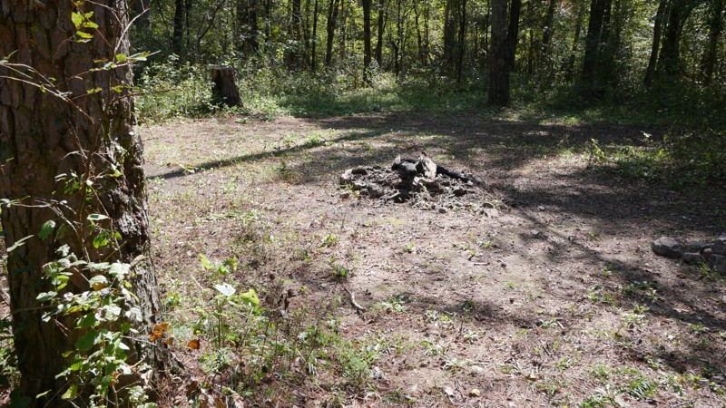
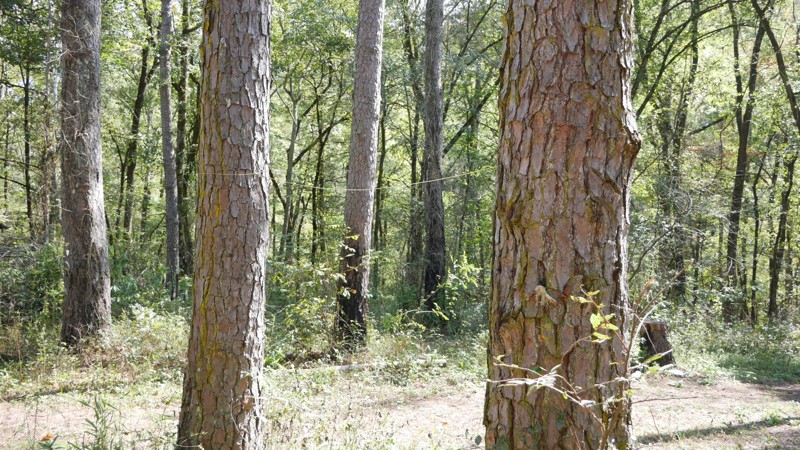
The drive begins on a broad gravel surface that gradually narrows as you move deeper into the forest. Expect moderate washboarding through the midsection, especially after dry spells or heavy traffic....
Brent
Official Crew
Rated 3/5
Open
Visited: 10/07/2025
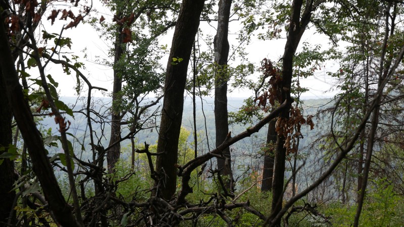
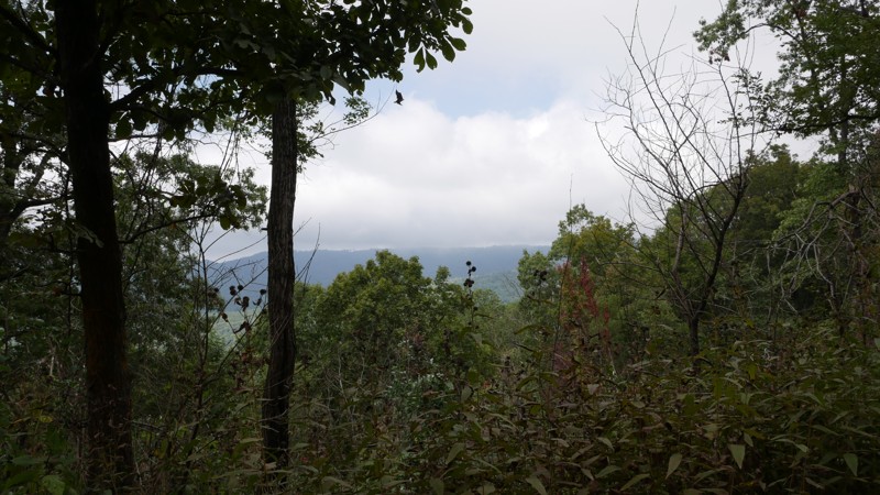
The road begins as a well-graded gravel surface and gradually narrows as it ascends into higher elevations. Expect mild washboarding and occasional rocky patches, especially after rainfall. While the ...
Brent
Official Crew
Rated 5/5
Open
Visited: 10/07/2025
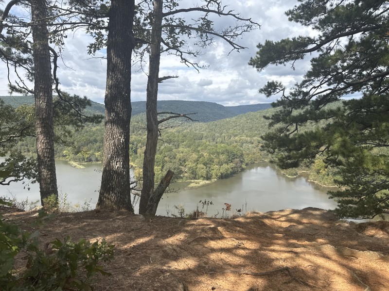
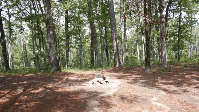
Shores Lake Road (Forest Service Road 1501) winds through some of the most scenic terrain in the Ozark National Forest, connecting Highway 215 near Shores Lake Recreation Area to the upper forest rout...
Brent
Official Crew
Rated 5/5
Open
Visited: 10/06/2025
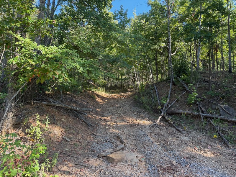
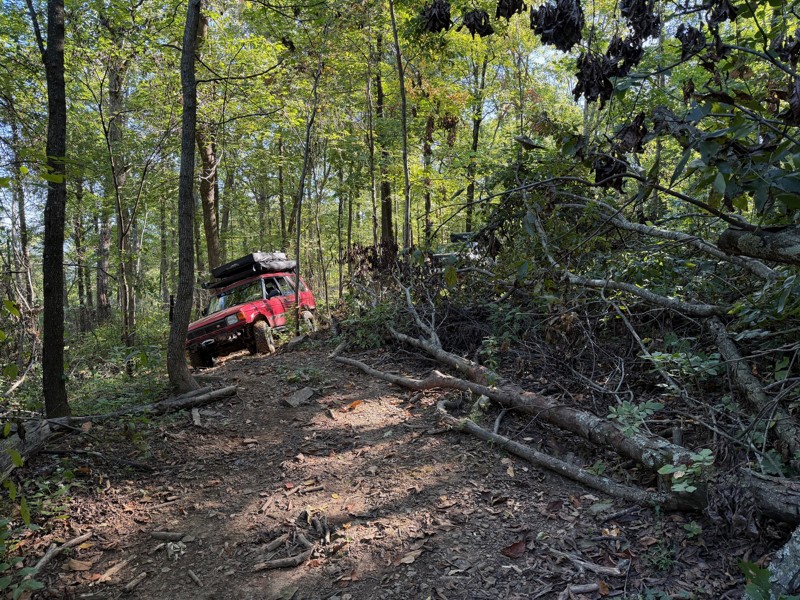
This trail has large rocks that will likely require a spotter. The trails are very narrow, covered in tree limbs, with logs that you must go over as well as downed trees that you must go around via al...
Jason Clatt
Official Crew
Rated 4/5
Open
Visited: 08/03/2025
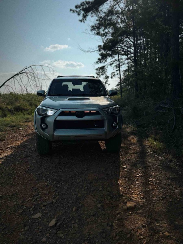
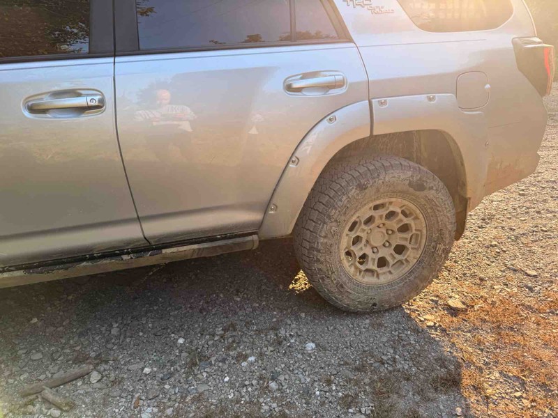
Very fun trail but took well over 3 hours because it was so narrow with most places very overgrown with trees. I have major pin stripping because of it. Spent most of the day in 4 low. Creeks were dr...
JP
J Parker
Rated 5/5
Open
Visited: 07/14/2025
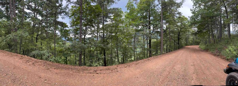
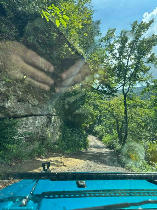
Great trail! No 4x4 needed. The creek was around 12-14 inches deep. Great views from this trail! I highly recommend for a beginner.
HC
Holly Cobb
Rated 5/5
Open
Visited: 07/10/2025
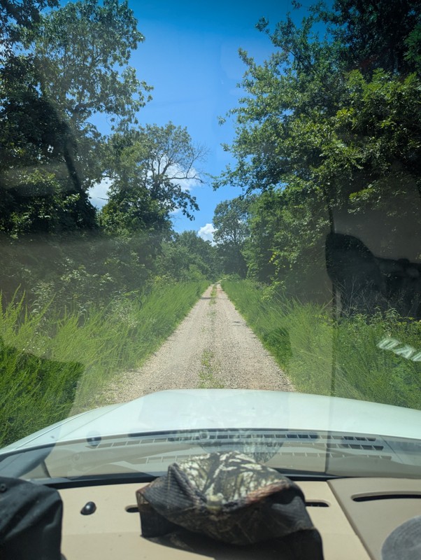
Drove today, was great and clear. Had a few muddy/wet spots near some of the overlook locations. Be aware of full road dip somewhere around mile 24!

Joseph M.
No Rating
Open
Visited: 07/05/2025
Drove this today. Everything was good but everyone should be aware to the giant full road dip at around mile 24.
JP
J Parker

Todd
Official Crew
GW
Gracey Williams
No Rating
Open
Visited: 06/14/2025
Lived up to its name. Steep and slick
JB
Jim Baker
Open
Visited: 06/14/2025
Great trail, went through with a stock Gladiator in 33s. Only dinged the rock sliders pretty good. I dinged my rock sliders on 35s with 2.5in lift in a JKU. My wife didn't like it at all. lol
JB
Jim Baker
Rated 2/5
Open
Visited: 05/24/2025
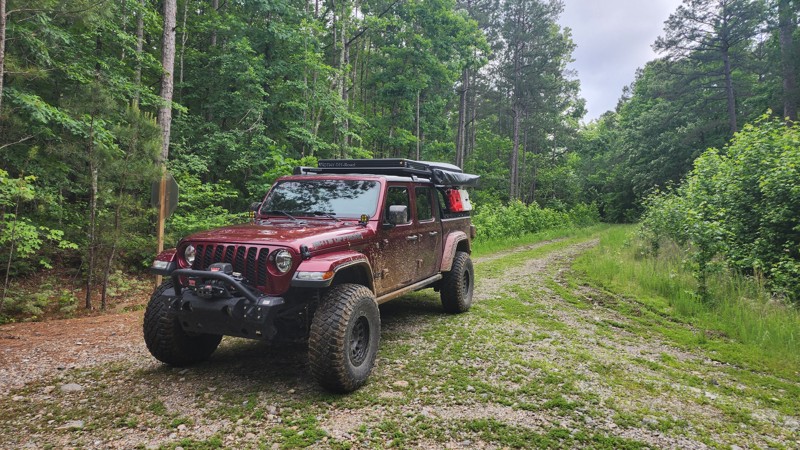
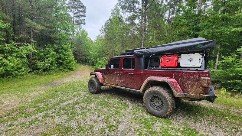
This trail is surrounded by dense tree cover, providing plenty of shade and a secluded feel, especially in the summer months. While the foliage limits long-range views, it adds to the immersive forest...
Tony Cress
Official Crew
Rated 4/5
Open
Visited: 05/24/2025
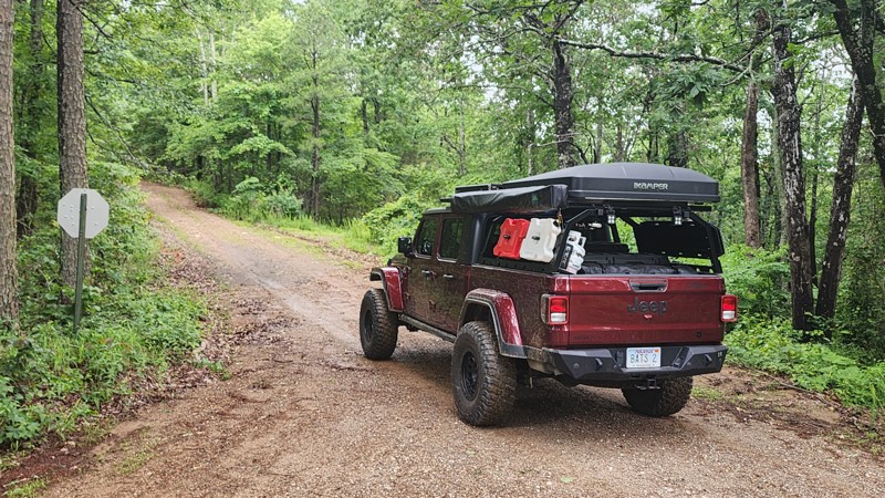
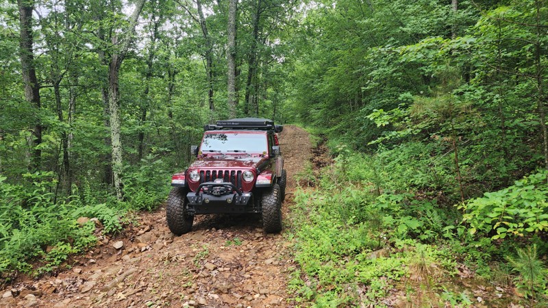
Beautiful scenic drive. Typically, 2 wheel drive vehicles with high clearance is all that would be needed. Depending on rainfall amounts, 4x4 could be required.
Tony Cress
Official Crew
Rated 3/5
Open
Visited: 05/24/2025
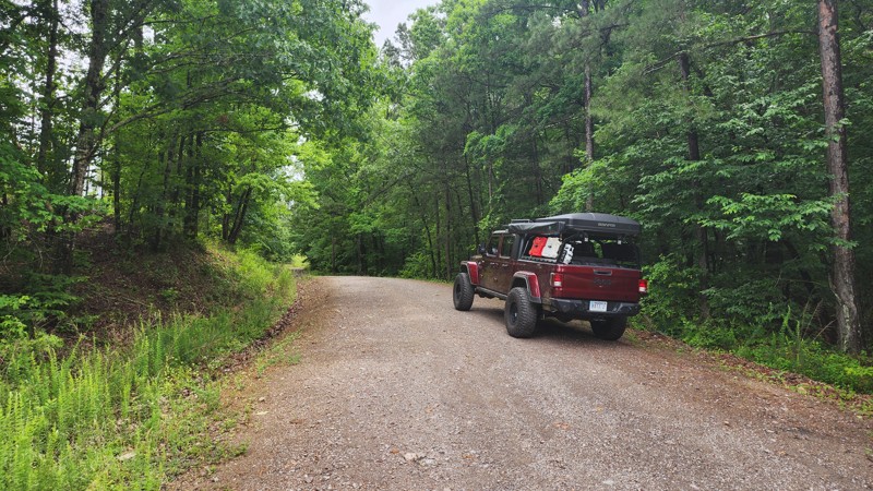
Very peaceful and scenic drive, I saw turkeys and deer along this trail. There is one spot where the culverts have been uncovered by recent heavy rainfall. I suspect this will be repaired quickly. Eit...
Tony Cress
Official Crew
Most Popular

Updated: 09/03/2022
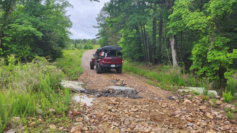
North Fork Saline River Trail
Perryville, Arkansas
This serene shaded route takes you near the heart of the North Fork Saline River. Nestled down in a valley, the fork of the river actually starts along this trail from the water run off! Traveling through the wet valley along the North Fork Saline River grants access to cool temperatures, and due to proximity of water, the chance to view some of Arkansas' native wild life!
This route is a great cut through to take when coming back from Crystal Mountain Peak or the Winona Auto Tour to avoid the drone of plain dirt / gravel roads.
Updated: 04/03/2025
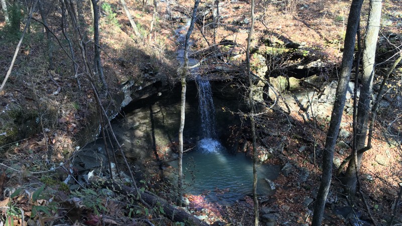
Barker
Hector, Arkansas
A quiet, peaceful journey awaits as you travel along Barker Road. Situated near one of the main roads crossing the Ozark National Forest, Barker provides a great off-highway access point into the heart of the forest while experiencing a small waterfall along the way. This road is an excellent start to your journey through the spectacular Ozarks National Forest.

Updated: 05/28/2026
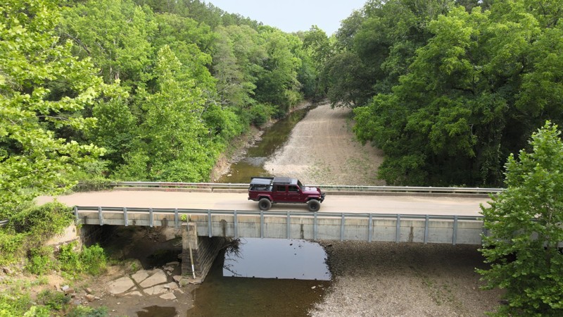
Cove Creek Crossing
Odell, Arkansas
Cove Creek Crossing is a very easy, scenic, smooth, graded dirt road in the Ozark National Forest connecting Cove Creek Road and Old Cove City Road at the intersection with Bug Scuffle Road. The thick forest along the road shines with Fall color. Along the way, numerous spur trails spread out into the forest with varying degrees of difficulty. Most require a 4WD with high ground clearance. There are also a few spots along this road with fire rings where you can pull off to camp.
Updated: 01/17/2023
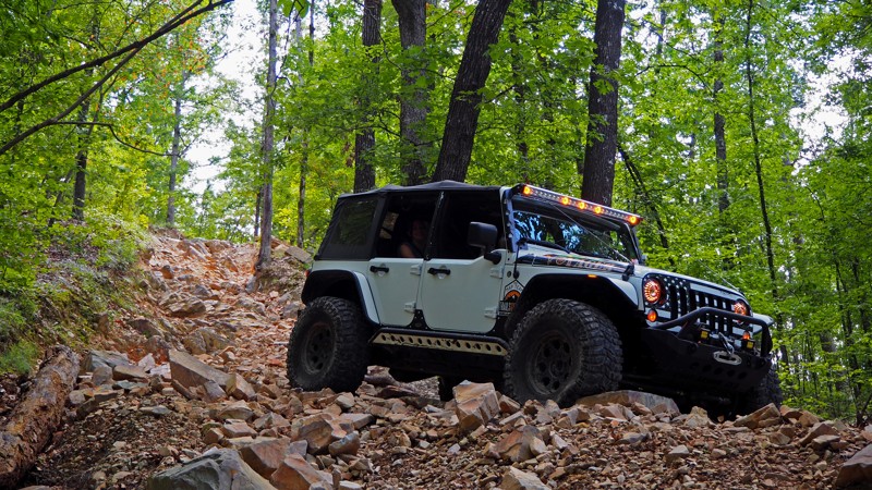
C16 - Hot Springs ORV Park
Hot Springs National Park, Arkansas
C16 is a lesser traveled off-road trail at Hot Springs ORV Park, possibly due to its difficulty level (or maybe the lack of a catchy name?) If you love extreme downhill grades on large, loose rocks or you enjoy scaring your passengers to death you will love it! Most people that rock crawl think of going up and over, but C16 is all about the downhill slide at Waypoint 4. Experienced wheelers will enjoy the challenge, as it demands every bit of attention and experience you can muster.


Updated: 06/05/2022
The Loop F17 F42 - Hot Springs ORV Park
Open
/
Hot Springs, Arkansas/
0.72 miles/
About 10 minutes
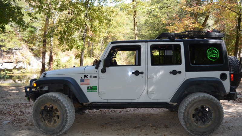
Excitement awaits off the path of this wooded connector trail! The entrances to some of Hot Springs ORV Parks most popular destinations are accessed here. One of the three Jeep "Badge of Honor" trails the park has to offer can also be accessed from The Loop. It can stand on its own as an easy, shaded drive through the woods, with a few water/mud holes and a spring crossing along the way. If you are headed down Main Road 1, cut through here on a hot summer day to cool down with under some shade and enjoy the woodland scenery!
Updated: 10/15/2024
Gunner Pool Road
Fifty-Six, Arkansas
In the heart of the Ozark – St Francis National Forest, Gunner Pool Road leads to one of the best swimming holes around. Sylamore Creek runs right through Gunner Pool Recreation Area with camping for the low cost of $10 per night in a rustic, primitive campground complete with pit-toilets, picnic tables, and grills. There are no water or electric sites, but water is available on site. There are also several off-road free primitive campsites along Gunner Pool Road. Sylamore Creek still runs at a very cool temperature in the summer heat for a nice cooling wade or dip, complete with fish and tadpoles. There are hiking trails along this road as well. Gunner Pool Road is a great place to see deer, turkey, squirrels, and occasionally a black bear. A very cool one-lane bridge crosses Sylamore Creek.

Updated: 06/05/2022
Squid's Jaunt G7 to G6 - Hot Springs ORV Park
Hot Springs, Arkansas
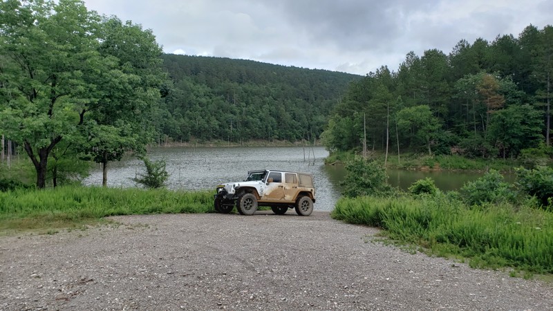
Squid's Jaunt at Hot Springs ORV Park is a rock filled, medium difficulty trail that can be enjoyed by both stock and modified 4x4 vehicles. It ascends 366' over the course of half a mile, and is rated a 3 out of 5 on the Park's rating system (which suggests at least 32" aggressive tires and a locking differential). There are enough larger rocks, ledges, and loose gravel to entertain a seasoned veteran. Mildly challenging bypasses around harder sections will also allow a beginner in a stock rig (and use of a spotter) to complete the trail and feel proud to have done so. Traveling from west to east (uphill) is the more challenging route, with a two foot ledge midway up the trail being one of the more notable obstacles. The view back to the west as you get to the top is picture worthy, and warrants stopping along the way to take in the scenery.
Updated: 07/19/2023
Cedar Creek Lake
Jessieville, Arkansas
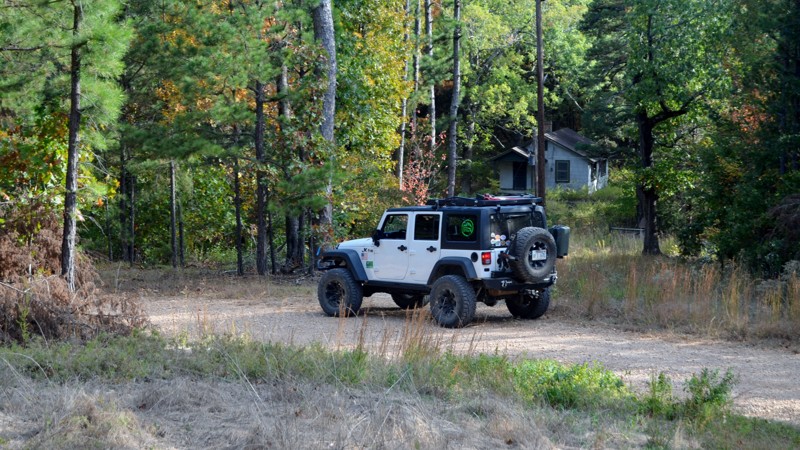
Just a mile down Cedar Creek Lake Road off of Trail 86 lies a quiet little lake most folks have never heard of, Cedar Creek Lake. Cedar Creek Lake is an 86 acre flood control lake that has the 4 most common types of fish native to the natural state; largemouth bass, crappie, bream, and catfish. Rates of fishing success vary widely, from not good to spotty to very good, depending on the angler and on the particular occasion when he or she goes after the fish. Cedar Creek Lake is one of 6 watershed lakes in this part of the Ouachita National Forest. This little lake is an excellent place to get the canoe out and take advantage of a mere fraction of what the beautiful state of Arkansas has to offer. There's a ton of great forest roads in the area to explore, one being Little Cedar Creek/FR793 which offers some magnificent camping spots and a short hike to a waterfall. A few more are Ritter/FR211, Muse Mountain/FR778, and Reform Road/FR179. This area of the Ouachita National Forest is known as Flatside Pinnacle. But don't let that deter you from exploring this area of the forest. It has some marvelous scenery you won't want to miss out on!
Updated: 04/22/2026
Green Mountain Road
Fifty-Six, Arkansas
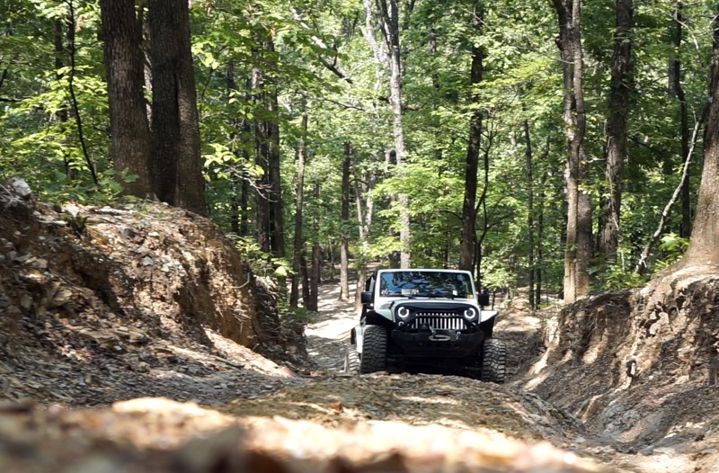
Green Mountain Road, Forest Road 1113, in the Ozark St Francis National Forest, is a quiet, easy country road that winds through the woods, past historic buildings, and accesses the Sylamo Bike Trail with several trailheads for parking. There are plenty of established pull-offs for boondock camping. From Arkansas Highway 5, Green Mountain Road connects to many more open forestry and county roads worth exploring.
Updated: 05/31/2024
Power Wagon Point C4 to C17 - Hot Springs ORV Park
Hot Springs, Arkansas
A steep rutted out hill climb and several water crossings are the highlights of Power Wagon Point. The grade of the climb ranges from approximately 20 to 50 degrees and is enough to be exciting, and high clearance is desired to avoid scraping your undercarriage. During this write-up, the depth of the rutted out area was miscalculated, and a camera lens met its fate in the middle of the trail. The first water crossing can be deep after heavy rains, so proceed with caution! Power Wagon Point is also heavily wooded, so it can provide respite from the hot sun on a sweltering summer day. This is a one way only trail and is marked as such. Do not attempt to run it backwards, as it would be almost impossible to move off to the side of the trail in some spots.

Updated: 07/15/2023
Reform Road
Perryville, Arkansas
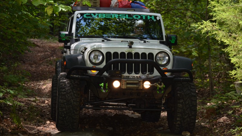
It's a well-known fact that this area of the Ouachita National Forest is incredibly picturesque, but doesn't offer anything very challenging or technical. However, there are a handful of fun trails in the area that are more "trail" like and not so much scenic gravel road, and Reform Road happens to be one of them! Reform Road offers a variety of just about everything in its 4.5 miles. It could be said it's the "total package" as far as trails go. In the first 2 miles, there will be mud, washouts, rock stair steps, and a couple of camping locations. Then the rest is a casual gravel road climb up to the increasingly popular Winona Auto Tour Scenic Drive. If you are wanting to get out and explore this area of the Ouachita National Forest and are looking for something a bit more "trail" oriented you'll want to check this one out for sure!
Updated: 10/11/2025
Roaring Springs Road
Optimus, Arkansas
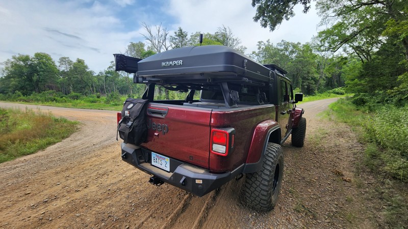
Just off of FR 1119 in the Ozark National Forest is a technical trail with several big rock formations to the sides of the trail, a wet weather creek area, and everything from sand to shelf rock on the trail. Several areas with large ruts made it more suitable for a 4x4 vehicle with a 2-4 inch lift and larger tires. The hardest section, where you have to climb up the sandy washed-out bank, is the reason for the difficulty rating. There were no established camp areas on this little trail but several along surrounding forestry roads.
Updated: 10/15/2024
Old Cove City Road
Odell, Arkansas
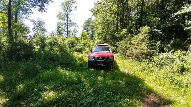
Old Cove City Road is an easy scenic dirt road in the Ozark National Forest running between the 3-way intersection with Bug Scuffle Road and Cove Creek Crossing and paved Lee Creek Road, State Highway 220. Like Cove Creek Crossing, numerous trails spur off this road. Most notable is Pannell Road, a popular technical route for 4x4 vehicles with high ground clearance.
There aren't many places to camp on Old Cove City Road. However, there are a few roadside spots and campsites on the spur trails in the area. A 4x4 vehicle may be required to access those spots on the spur trails.
Updated: 06/10/2023
Black Berry Loop
Hector, Arkansas
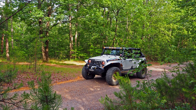
This shady route takes you into the shady recesses of the Ozark National Forest. After the first bend it will take you through the sun and several patches of wild black berries ( Warning: these encroach upon the trail times and will scratch your rig. See route description). If you catch them in season, they will be the sweetest black berries you've ever eaten, and at times can easily be picked from your rig just by rolling the window down (see warning above / route description).
This lush portion of the forest, with it's sweet fruit and closeness to the Illinois Bayou, make it home to some of Arkansas' most known wild life. Animal sightings are common on this trail, including deer, hogs, and black bears, so have your cameras ready! (remember: these are wild animals, and you should never approach them. Follow tread lightly principles!) Finally, for the brave, you can take a quick hike down to the bayou if you split off at Waypoint 4.
Updated: 06/05/2022
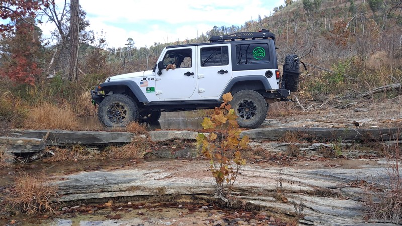
Forest Road 94 - Flatside Wilderness
Perryville, Arkansas
Forest Road 94 is a great detour off the Winona Auto Tour Scenic Drive up to the beautiful Flatside Pinnacle overlook, or drive this heavily wooded road on through to Trail 86 to explore the Ouachita Mountains even more. Being well maintained by the Forest Service, anyone that doesn't mind dust and gravel can enjoy this scenic connector trail and have a fun day exploring!
Updated: 10/15/2024
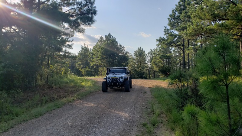
Bee Hollow Road
Mount Olive, Arkansas
Bee Hollow is a scenic, wooded drive with creek crossings, mountain views, a lot of pinstriping, overgrown areas, and moderate rock climbing. It is located in the Ozark St Francis National Forest between the towns of Mountain View, Arkansas, and Calico Rock, Arkansas. Stay on the trail since it runs behind the Sylamore gun range. You will see warning signs when you reach that area. During October, the trail has amazing fall colors. There are several creek crossings, be aware of water levels during the rainy season and watch for washout spots along the tops of the creek beds. Due to the rocky terrain and deep ruts, there are several off-camber spots along the trail. The trail begins off Arkansas Highway 5 - Sylamore Scenic By-Way. Expect to send a couple of hours on this trail.
Updated: 02/01/2024
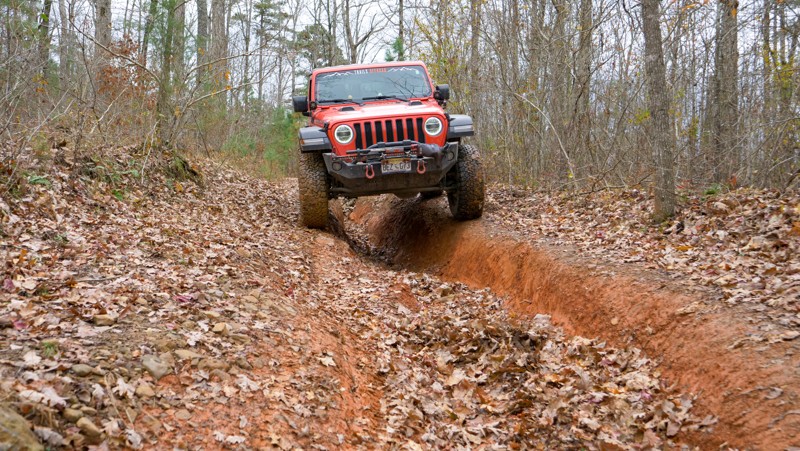
Doyle Springs
Jessieville, Arkansas
Doyle Springs/207 is an excellent connector road to get from Deberrie Road to the Forest Road 29000, Trail 86, Forest Road 94 intersection. It is at this intersection that a host of forest road exploration awaits! Doyle Springs is a lovely forest road where you are sure to see some type of wildlife at some point during the excursion, whether it be deer, turkeys, coyotes and even the occasional Bald Eagle! There is really no "wrong turn" from the intersection, whichever way you decide is bound to be terrific!
Updated: 06/19/2022
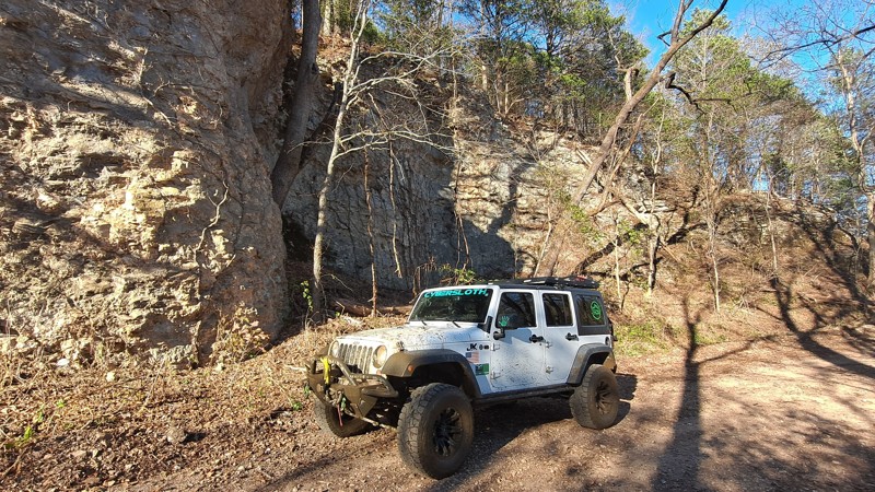
93054N
Hector, Arkansas
This technical trail in the Ozark National Forest is an excellent way to save time by cutting from Adams Mountain Road to North Fork Road in order to continue exploring other areas of the forest. This short trail is a great way to dodge those mundane gravel roads, do a little technical driving, and get in some good experience and practice with a spotter. Be warned, though. You WILL NEED a spotter to deal with the washouts. It's not the hardest trail, which makes it PERFECT for beginner off-roaders with a good spotter, or medium experienced off-roaders with a beginner spotter wanting to get practice. Don't let the short length of this fool you; this trail offers plenty of excitement with a challenging hill climb/descent, washouts in the middle of the trail, and an exciting stair-step rock climb on the west end.
Updated: 10/15/2024
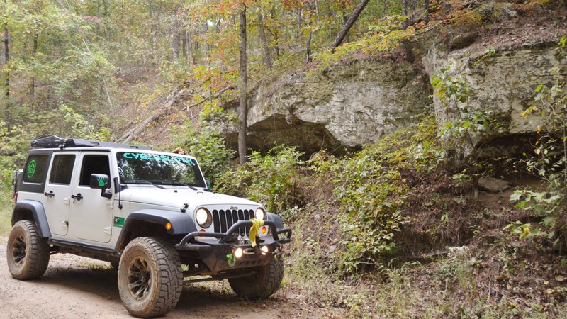
County Road 14
Woolum, Arkansas
Searcy County Road 14 runs through the Richland Elk Preserve in Arkansas. The scenery is ever-changing, with a creek crossing, mud puddles, fields that are part of the elk preserve, epic bluffs, and the majestic Buffalo River. At one time, the county road continued across the Buffalo River, past Woolum campground, and followed the river back to the highway. However, CR14 washed out on the Woolum side of the Buffalo River and has been barricaded for some time with no projected repair date. Depending on your vehicle’s height and capabilities, you can still cross to the Woolum campground, which is basically a large field beside the river with pit toilets. Searcy County Road 14 connects to Searcy County Road 12 and, at this time, ends at the Buffalo River crossing.
Updated: 10/15/2024
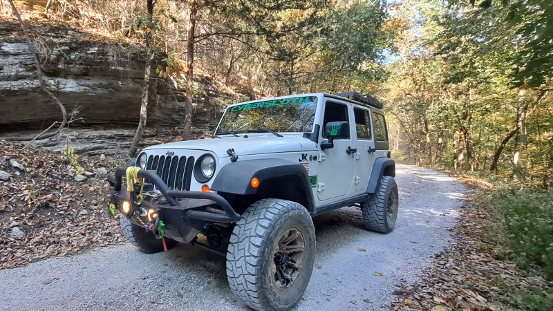
Wilderness Trail
Lost Corner, Arkansas
Wilderness Trail is a nice wide country road with a few historic buildings along the way. The buildings are on private property, so you must enjoy them from the road. Several hiking trailheads along the road have designated parking areas to stop and stretch your legs. Towards the east end of the road you will start seeing more and more residences. Wilderness Trail is a nice relaxing drive.
Updated: 10/15/2024
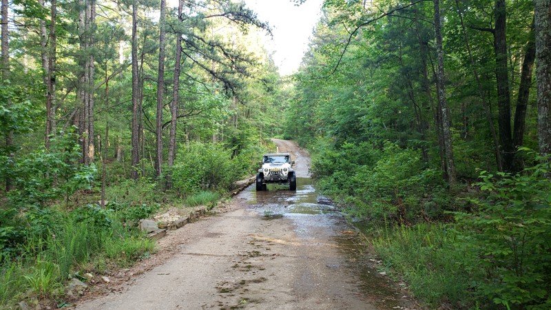
Tie Ridge Road
Optimus, Arkansas
Tie Ridge Road, County Road #1112, which also turns into County Road 55/Tie Ridge Road, runs through the Ozark – St Francis National Forest from Highway 14. Around the middle of Tie Ridge Road is Bark Shed Campground with vault/pit toilets and trash cans but no other amenities. At Bark Shed, there is a wonderful little swimming hole, an old bridge, hiking trails, and beautiful bluffs. Tie Ridge Road has everything from woods, bluffs, Sylamore Creek, camping, and hiking trails. The trail makes for a wonderful day ride or weekend campout.
Updated: 06/05/2022
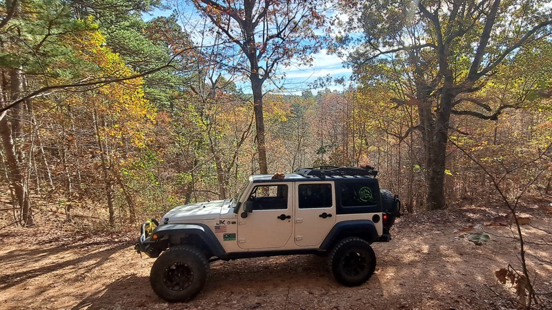
Alum Divide
Jessieville, Arkansas
The Ouachita National Forest is a great way to get away from the hustle and bustle of everyday life. Alum Divide/961 is an excellent road to take and slow things down. Alum Divide offers several options. You can watch the wildlife in their natural habitat, listen to the birds, or stop at one or all three of the low water bridges and enjoy the relaxing melody of the water as it flows down Bread Creek. There are several forest roads to choose from that branch off of Alum Divide that lead to other areas of the Ouachita National Forest. Such as Ritter, Alum Branch, and Alum Fork just to name a few. No matter what your decision is it won't be a disappointment. Often times the best excursions are the ones with no real destination in mind.
Updated: 10/15/2024
Brushy Creek Road
Advance, Arkansas
Brushy Creek Road, FR 1116, in the Ozark St Francis National Forest, runs adjacent to the Leatherwood Wilderness. The road is packed full of valley views, wildlife, and peaceful places to camp or picnic. It is an out-and-back road that ends on Cleveland Knob. Brushy Creek Road is an easy ride with very little traffic.
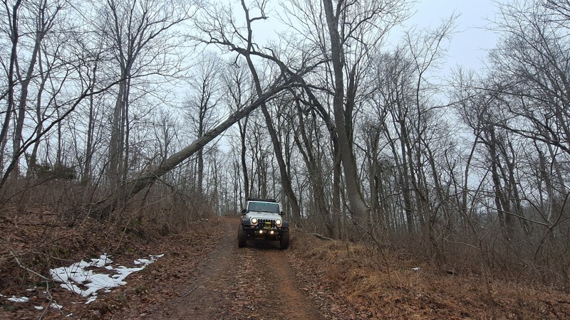
Updated: 10/15/2024
North Barkshed Road
Big Flat, Arkansas
Ozark-St. Francis National Forest Road 1108, locally called Barkshed Road, is the north end of a road that ends at a closed bridge at the Barkshed Recreation area. The road is gated off about a mile from the closed bridge. It is a nice easy drive through the forest with several OHV trails branching off for further exploration.

Upgrade your Membership
Unlock all of the details on every Trail Guide and Scout Route.
Start a 7-day Free TrialCommunity
Partners

