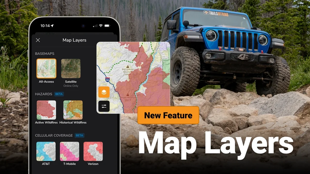
Map Layers Now in the Trails Offroad App and Website
Map Layers are now available in iOS, Android, and on trailsoffroad.com.
This initial update gives you access to active wildfires, historic wildfire perimeters, mine locations, and cell phone coverage areas for AT&T, Verizon, and T-Mobile.
Map Layers are available for all-access members with the exception of active wildfires, which is free to all.
Map layers can be used with an internet connection. In the coming weeks you will be able to download historic, cell coverage, and mines for offline use alongside the All-Access base map with your state.
You can start using map layers today by updating the Trails Offroad app or visiting the website.
More about each map layer
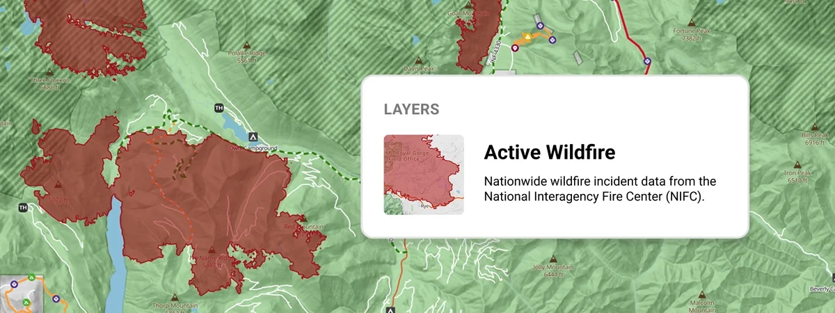
Active Wildfires Map
The Active Wildfires layer shows current wildfire incident locations and perimeters from the NIFC, refreshed every 4 hours. Use it to check whether a trail or its access roads are near an active incident before heading out. This is not a substitute for official closure orders.
You can check the Active Wildfires layer before heading out for the weekend to check for new and active wildfires that may impact your travels.
Tapping a wildfire feature on the map will let you view detailed information, like size, containment percentage, cause, and severity.
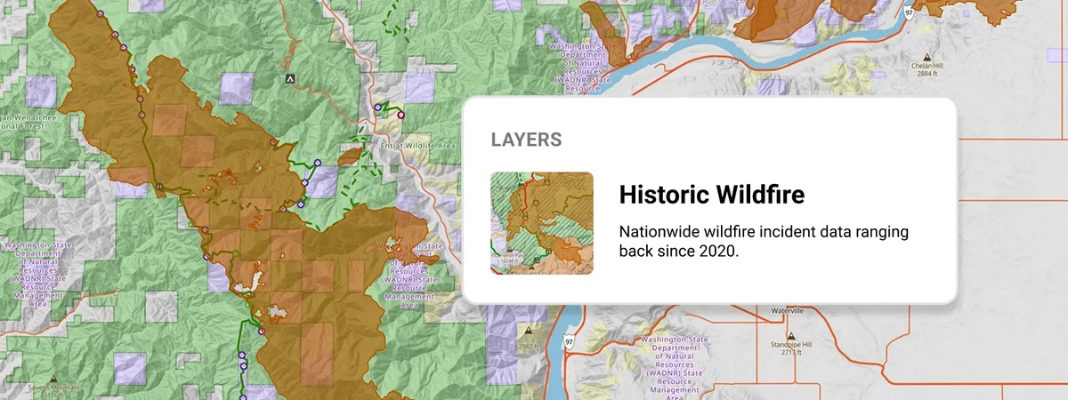
Historic Wildfires Map
Final perimeters of past wildfires since 2020 from NIFC, updated every 24hrs. Burn scars change trail conditions for years (downed timber, washouts, lost tree cover), allowing you to be more informed about actual trail conditions today.
Use the Historic Wildfires Map layer to plan routes and camping locations. Wild areas can take years to recover from wildfires. Avoiding historic burns will make sure that you’re camping in a comfortable location and avoiding disturbing fragile regrowth areas.
Select a historic wildfire on the map to view information like size, cause, and age.
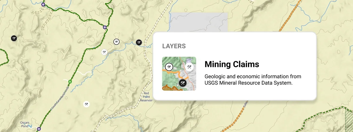
Mine Locations Map
Explore thousands of abandoned mines, historic shafts, adits, and prospect sites from USGS records. Use the Mine Locations layer to spot old mining sites along your route, keep camp and side routes clear of unmarked openings, and find the ghost towns and gold rush history most people drive right past.
Cell Phone Coverage Map
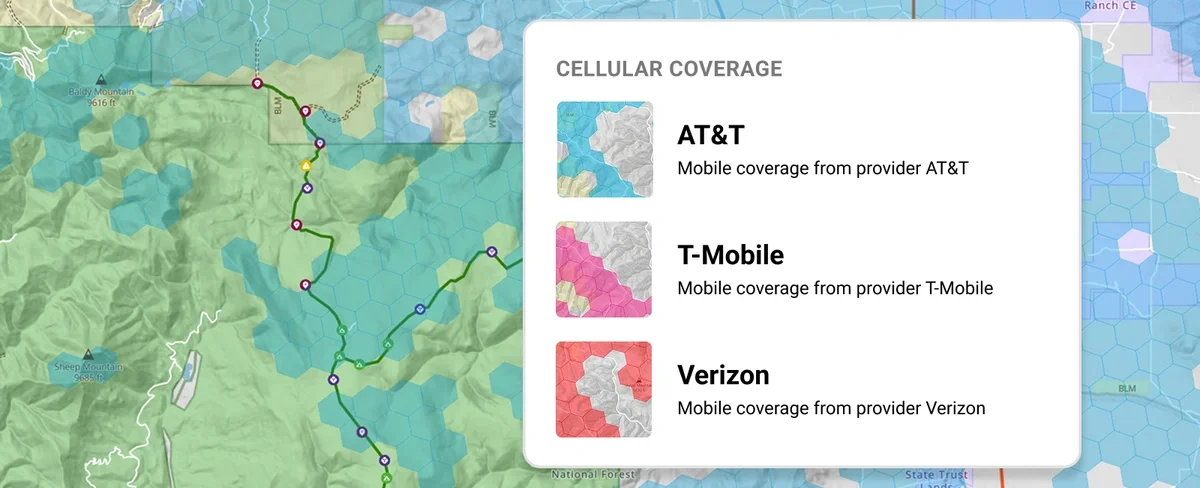
The Cell Phone Coverage maps show reported cell phone service areas for AT&T, Verizon, and T-Mobile, split by carrier. Use it to plan where you'll have service for check-ins and emergencies and where you'll need to rely on downloaded guides. Coverage is a carrier estimate and varies with terrain.
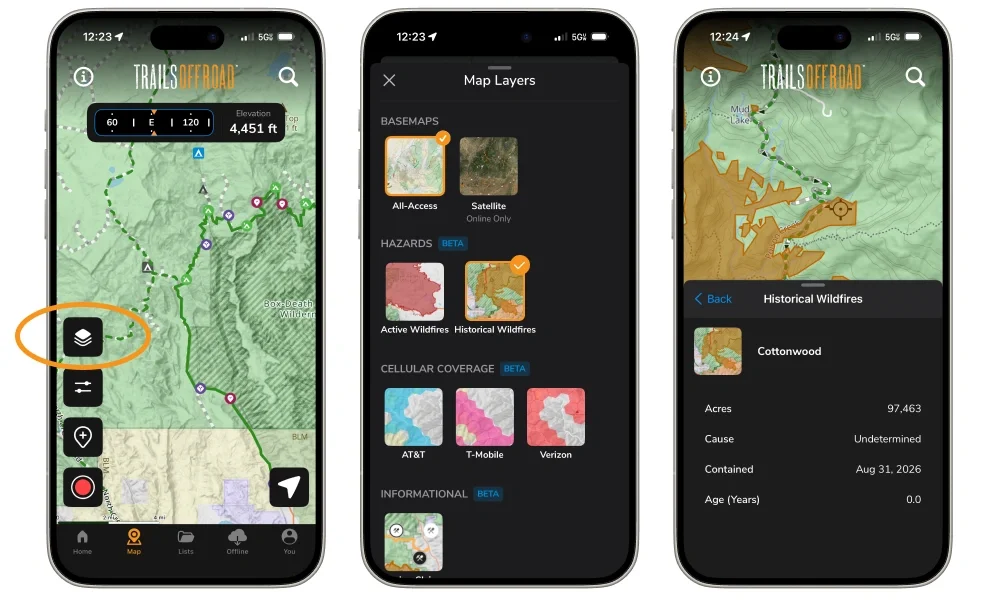
How to use map layers
Tap the map layers icon on the map page in the Trails Offroad app or website to view and select your map sources. When viewing a map, tap a feature to get detailed information.
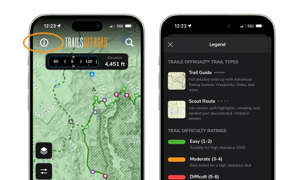
The newly updated map legend has moved to the top left corner of the map screen. Tap it to get detailed information about each map source.
You can use the Active Wildfires layer for free. Other map layers are available with an all-access membership.
New to Trails Offroad? Test drive Map Layers and more with 20% off your first year.
What’s next for map layers
We are very excited about this release because it is another step closer to being the ultimate planning tool for offroad trips. In the coming weeks, we will be working on the ability to download map layers, so you can view them offline, too.
We’re really interested in your feedback and suggestions. What map layers would you like to see added next?
Looking for another way to be a part of the action? Apply to be an ambassador, join us as a beta tester, follow us on social or send us an email.
FAQ
Where to download map layers within the Trails Offroad app?
You can download the All-Access Base Map in the Trails Offroad app by following these steps. Additional map layers will be available for download soon.
How do I suggest new map layers for Trails Offroad?
Send us a message on social or to support@trailsoffroad.com!
How do I view maps offline in Trails Offroad?
Download maps for your state by following these steps. The next time you’re without cell service, your maps will still be available.

I've been running strategy and operations in offline navigation apps for over 10 years. I hike, offroad, and am a mom to two adorable kiddos.
More Articles

What Kind of Off-Road Vehicle Is Right for You?
Read More 
Community
Partners

