
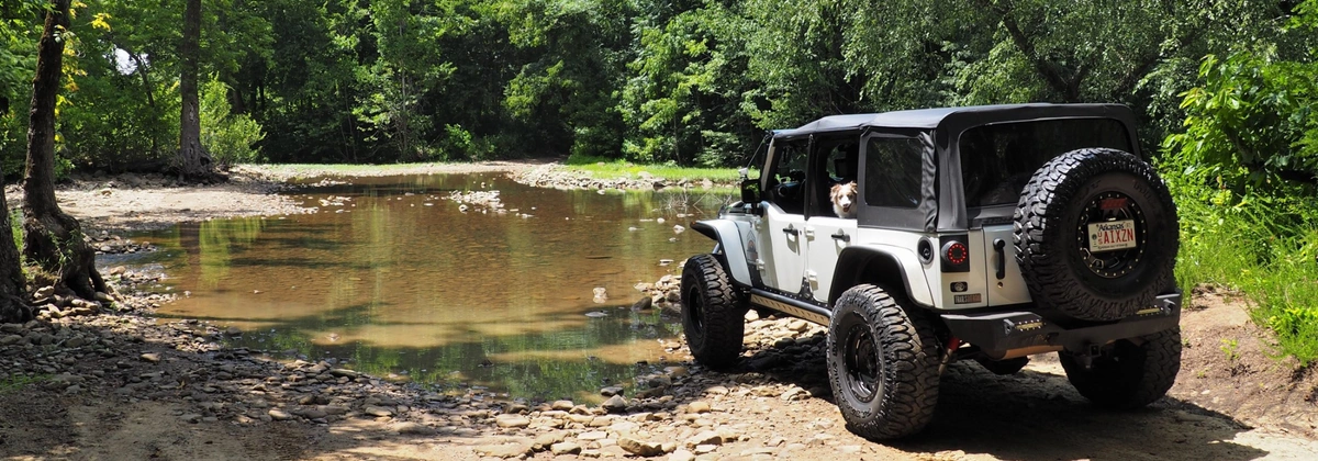
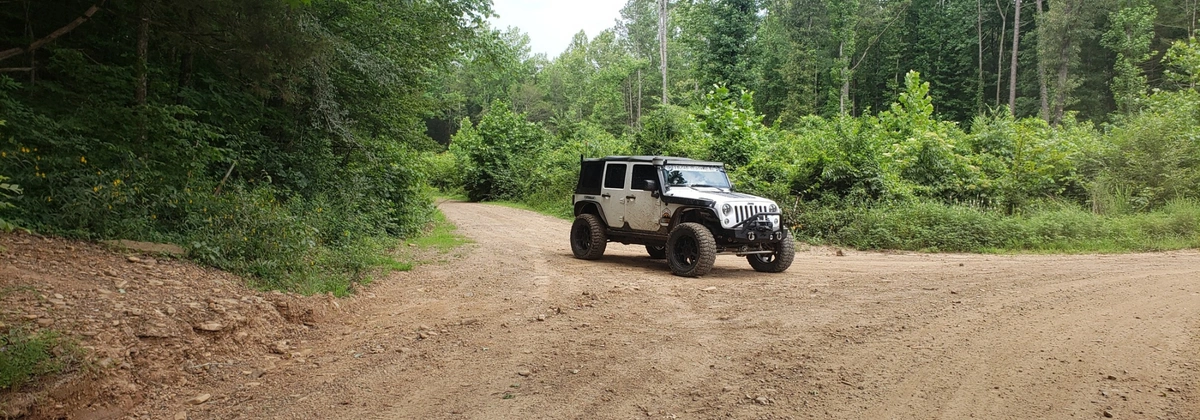
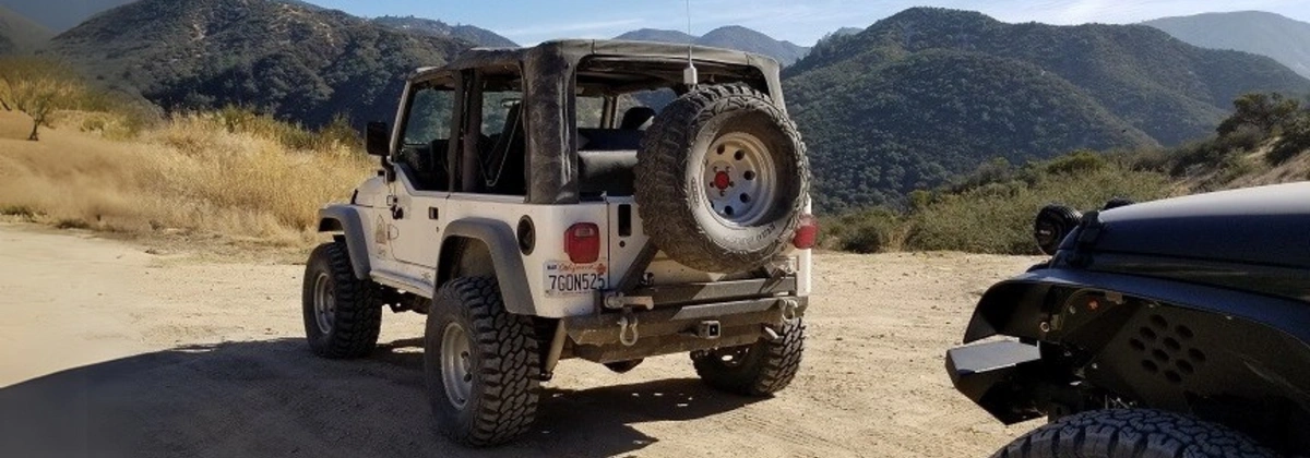
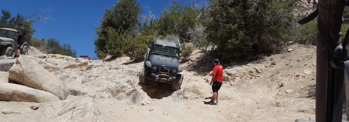
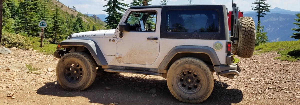
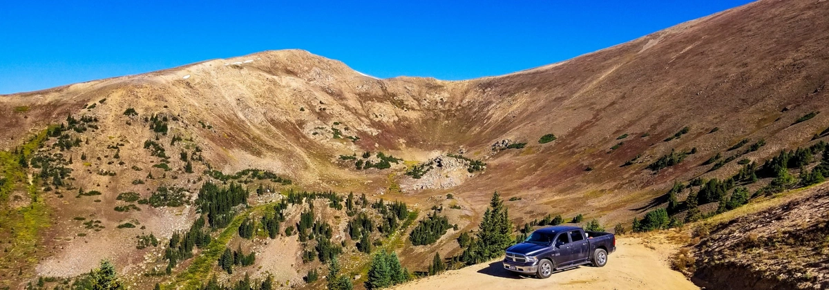
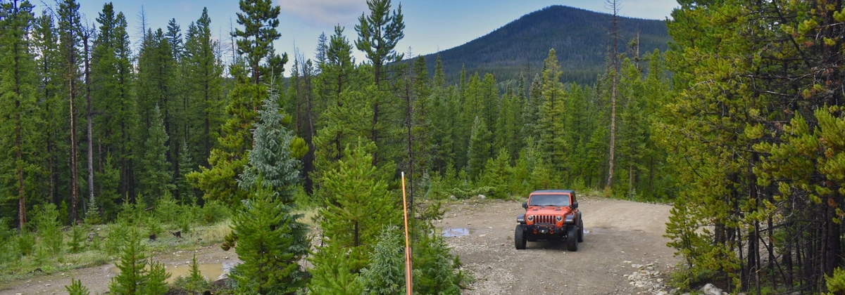
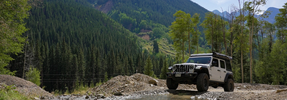
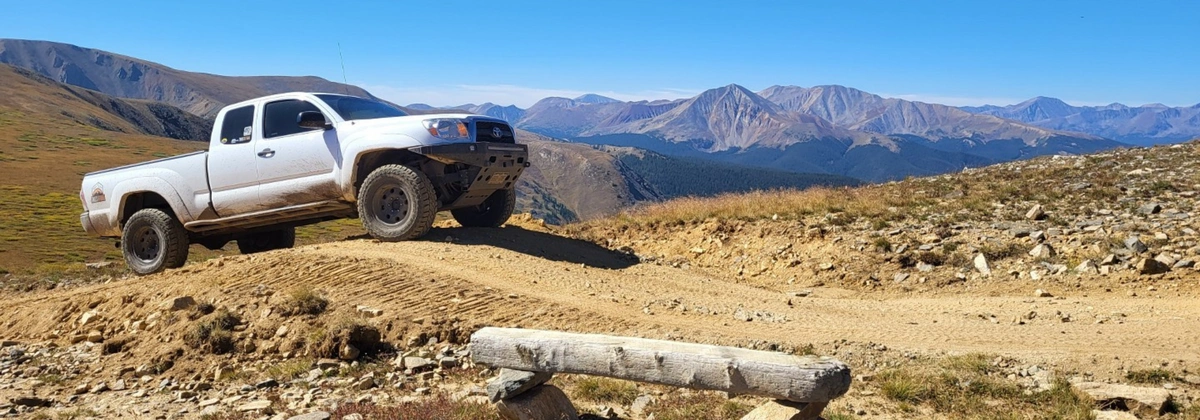
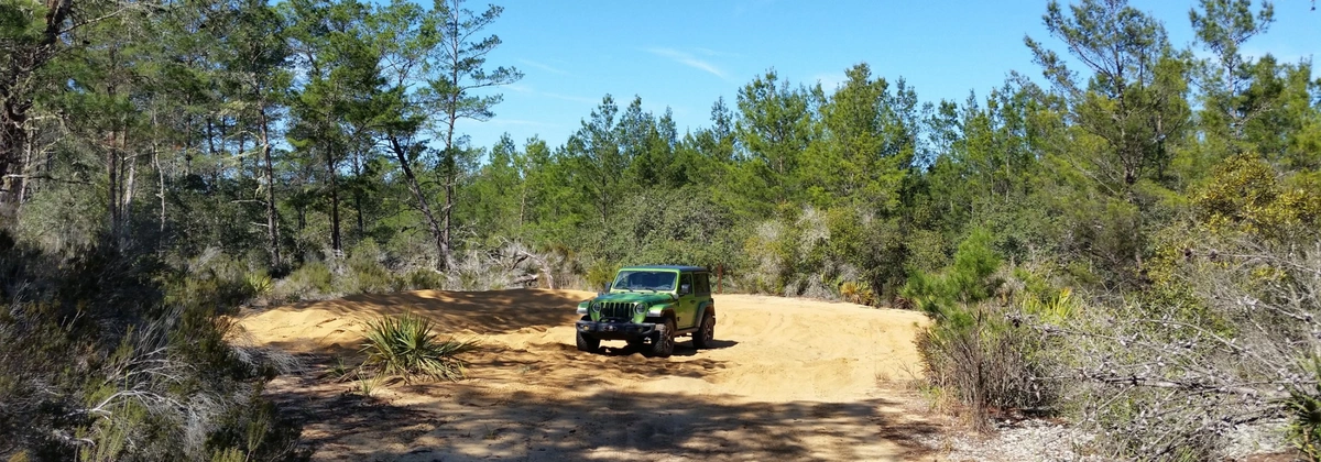
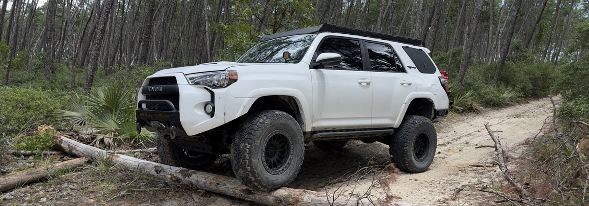
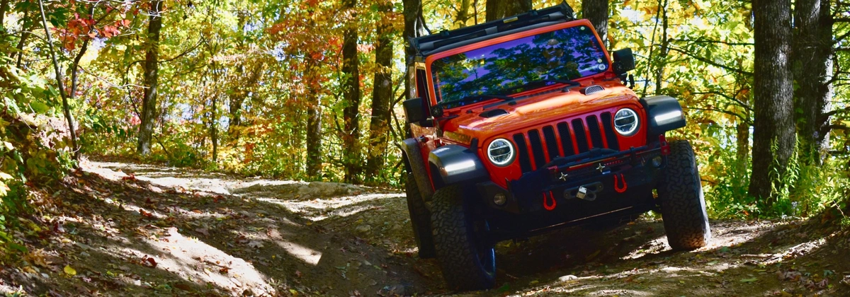
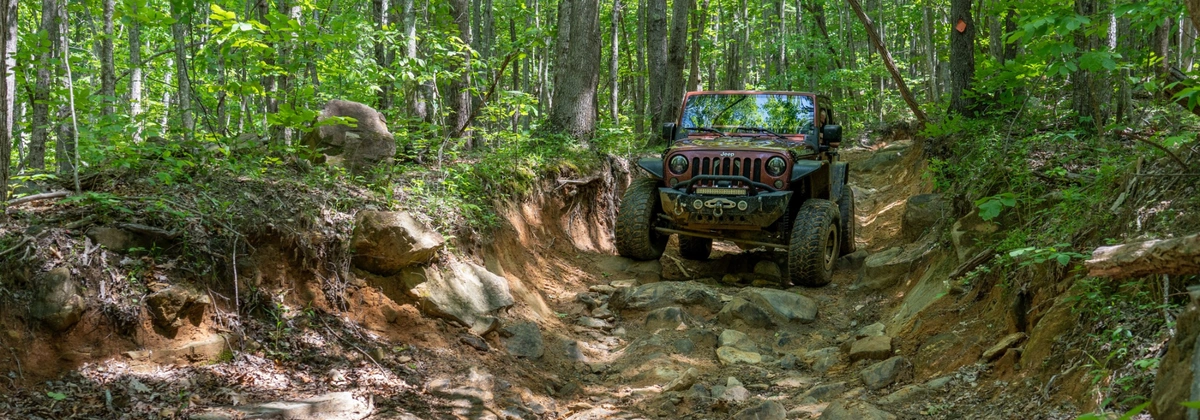
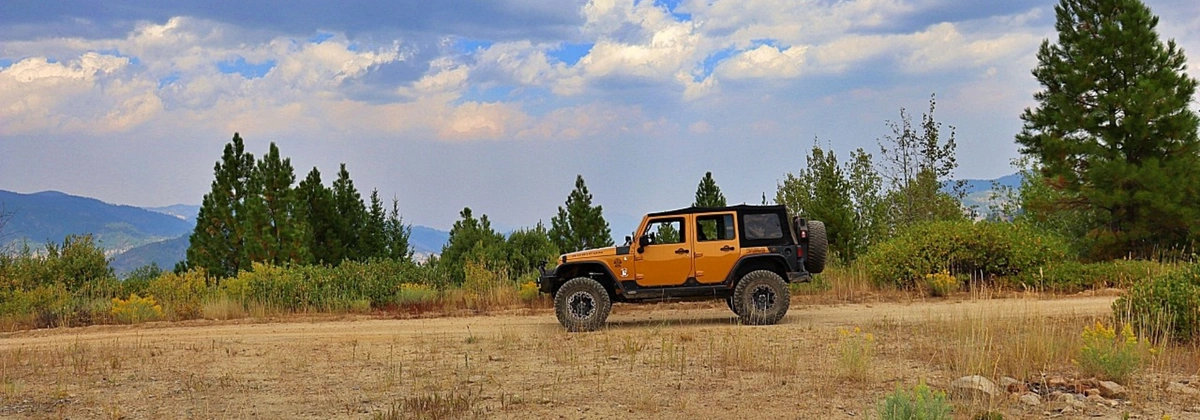
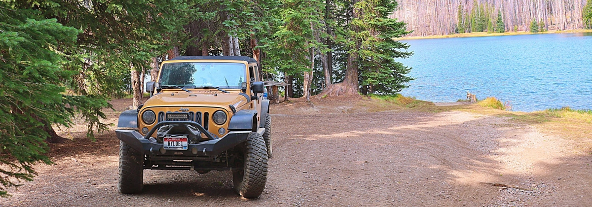
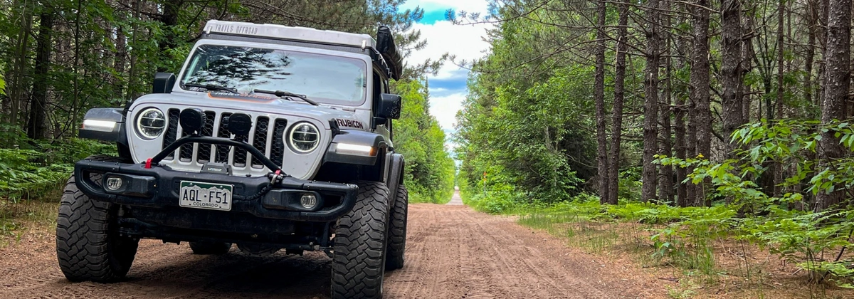
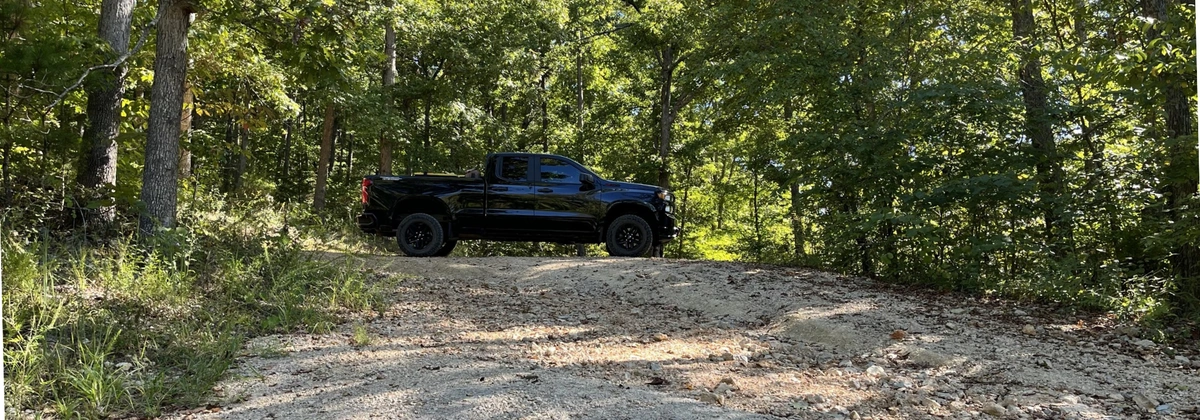
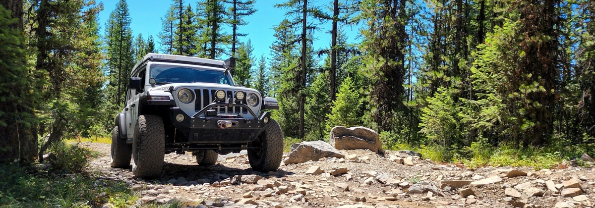
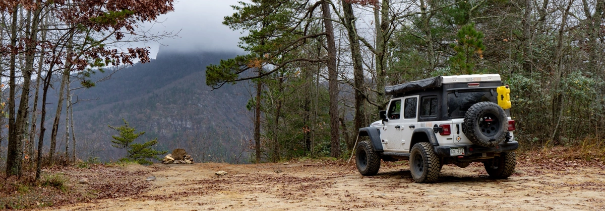
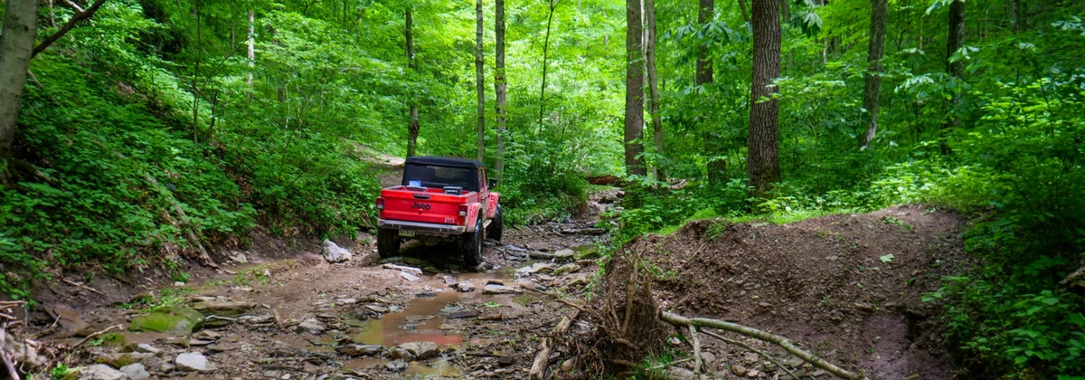
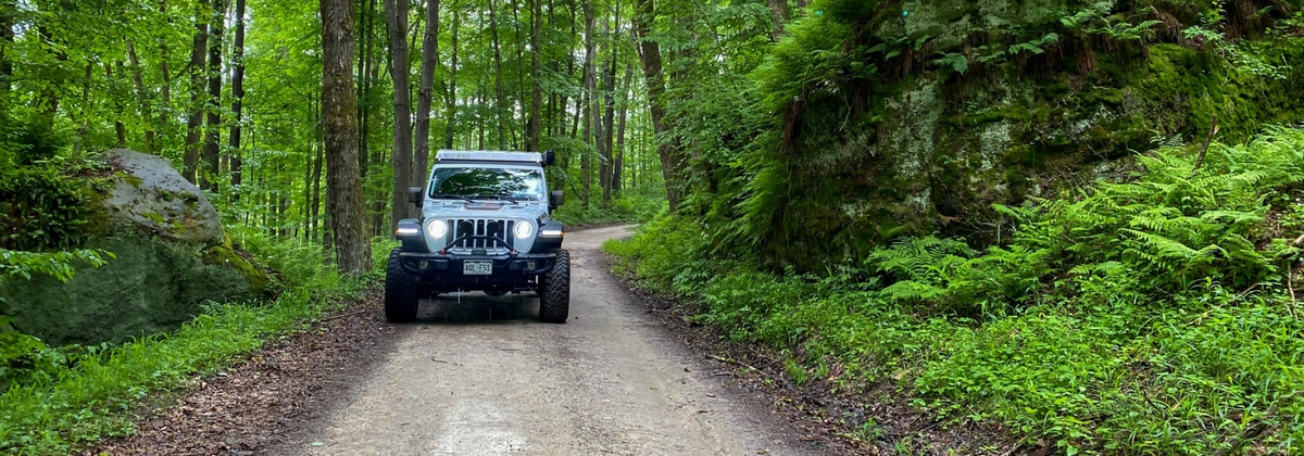
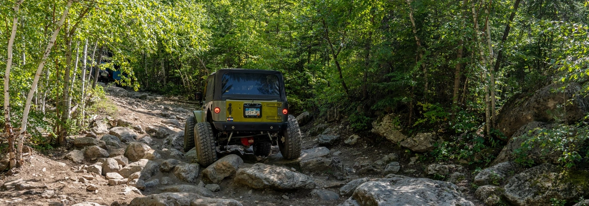
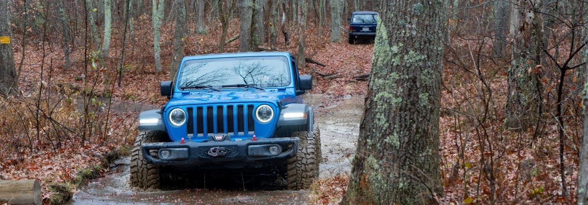
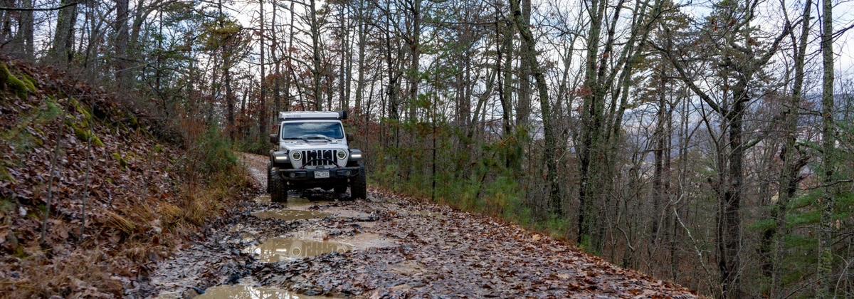
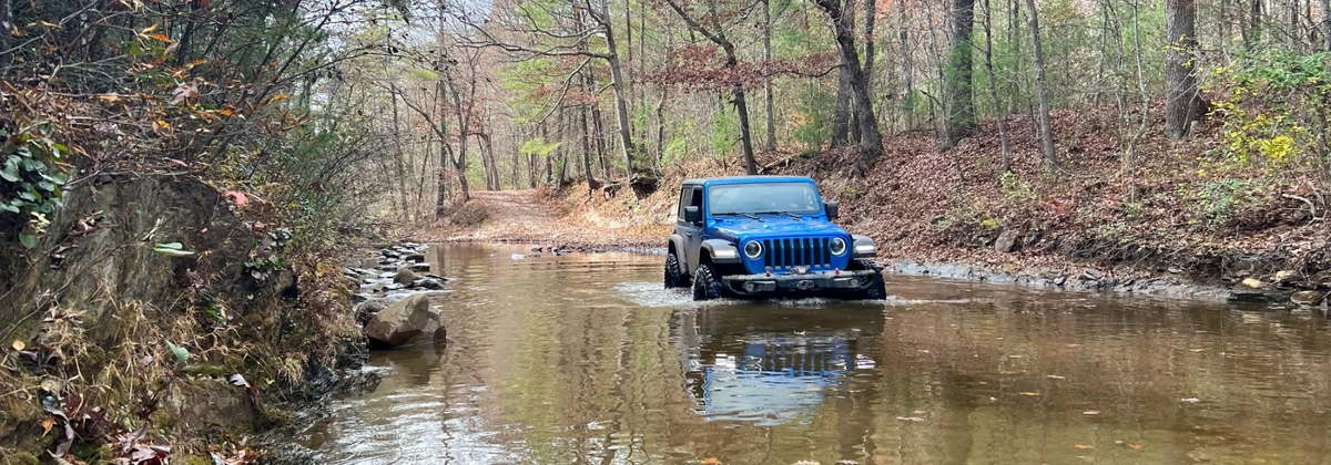
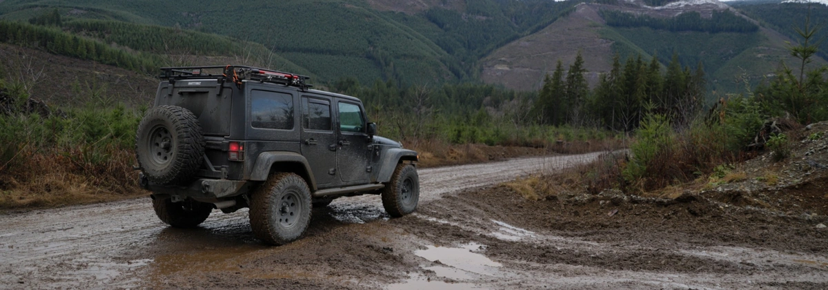
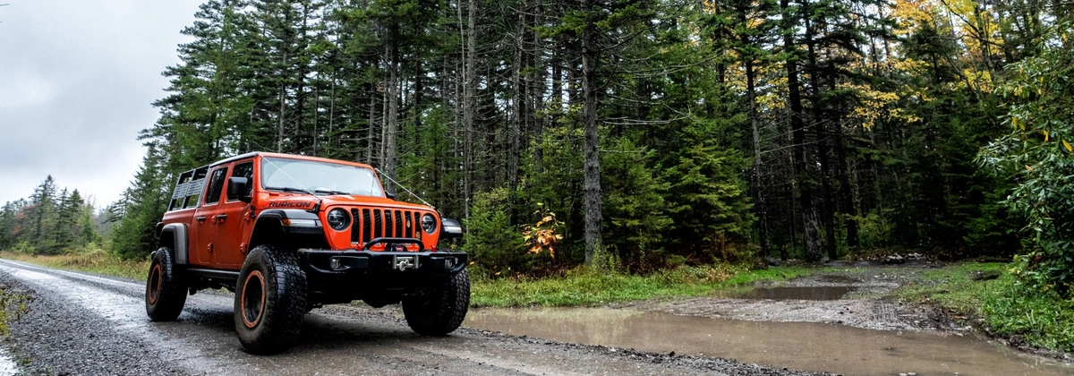
Best Off-Road Trails in National Forests: A Guide to Adventure
March 21, 2025
Tags: National Forest, Offroad, Off-Road, Overland, Trails
March 21st marks International Day of Forests, a perfect time to appreciate the beauty of our national forests and the off-road trails that wind through them.
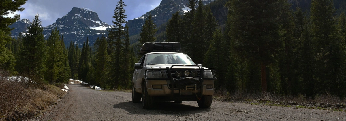
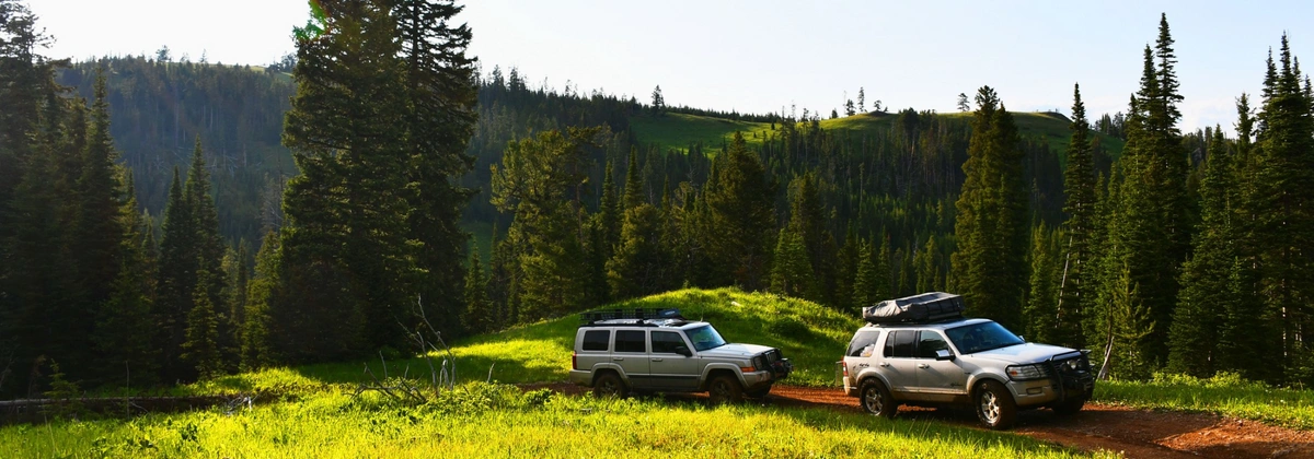
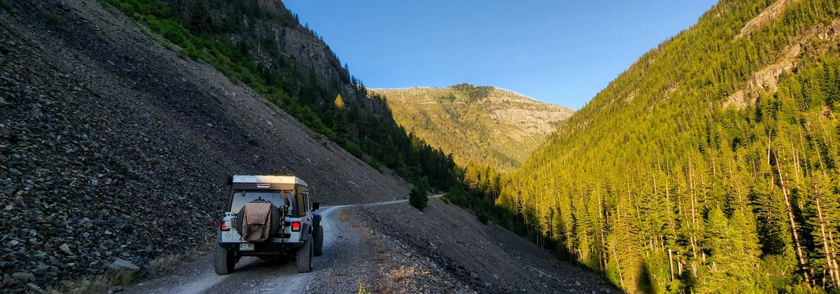
To celebrate, we're highlighting some of the best off-road trails in national forests across the U.S. These routes offer everything from scenic backcountry drives to challenging 4x4 adventures.
While this list covers some incredible trails, there are many more waiting to be explored. Consider this a starting point for your next off-road adventure!
What to Expect When Off-Roading in National Forests
Off-Roading Regulations & Permits
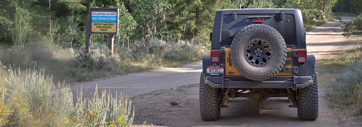
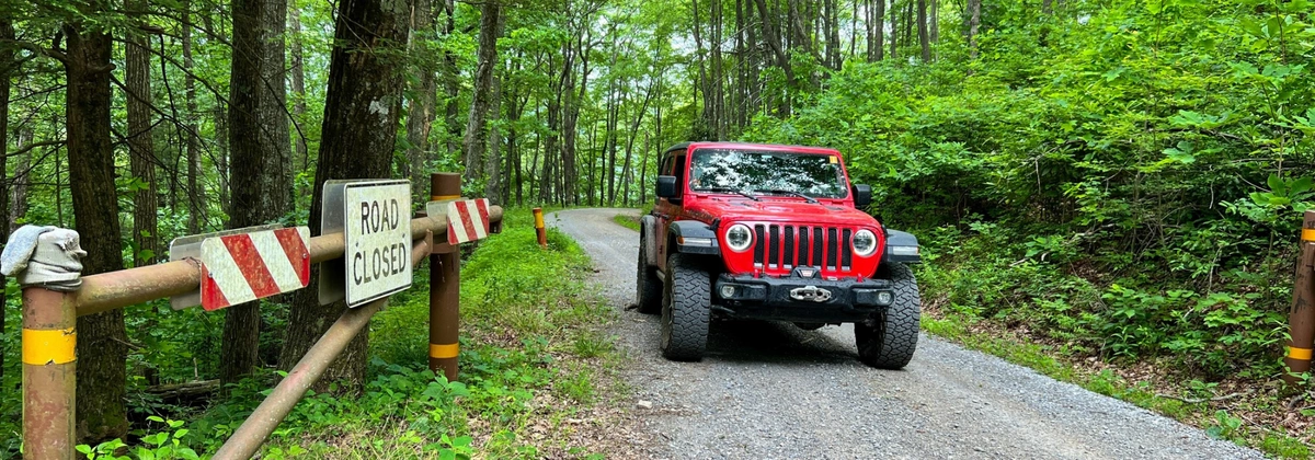
Before hitting the trails, it’s crucial to understand the regulations for off-roading in national forests. Each forest has its own rules regarding off-road vehicle use—some require permits, while others allow only street-legal vehicles on designated trails. Check the local U.S. Forest Service (USFS) website for up-to-date rules to avoid fines and ensure a smooth ride.
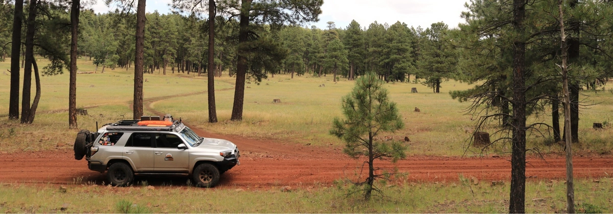
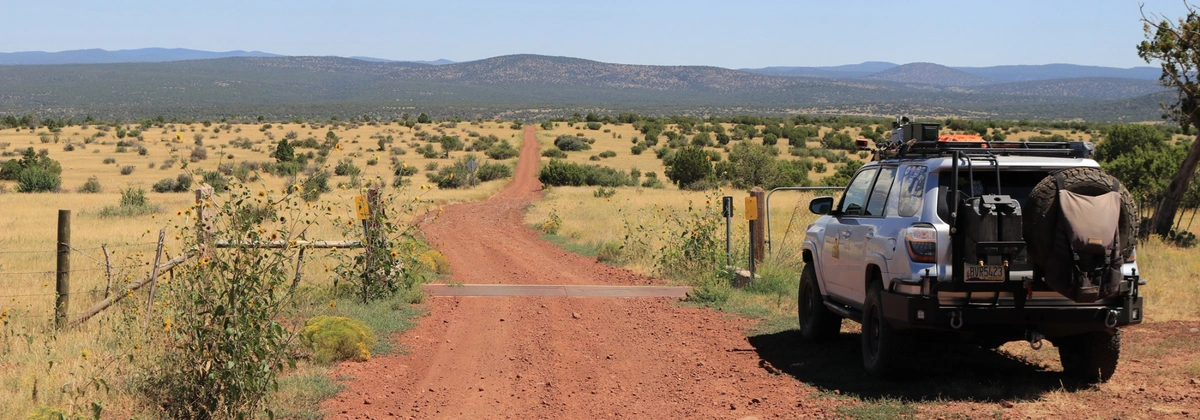
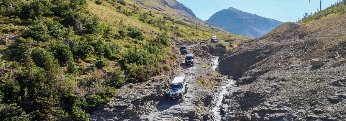
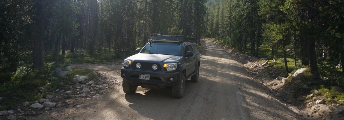
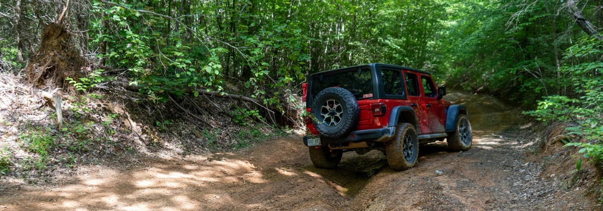
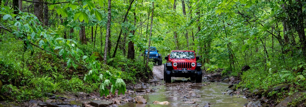
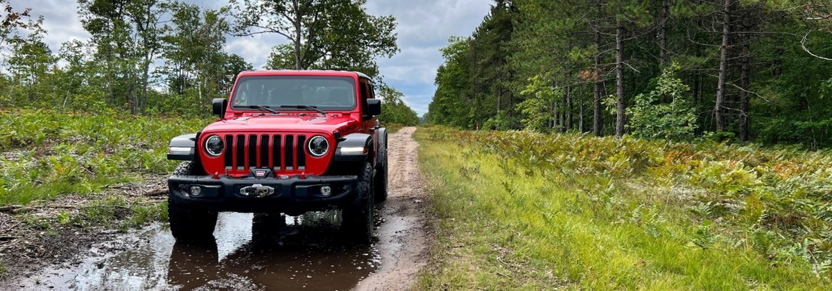
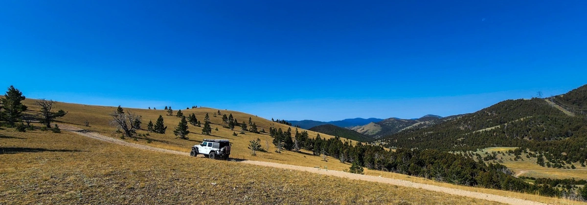
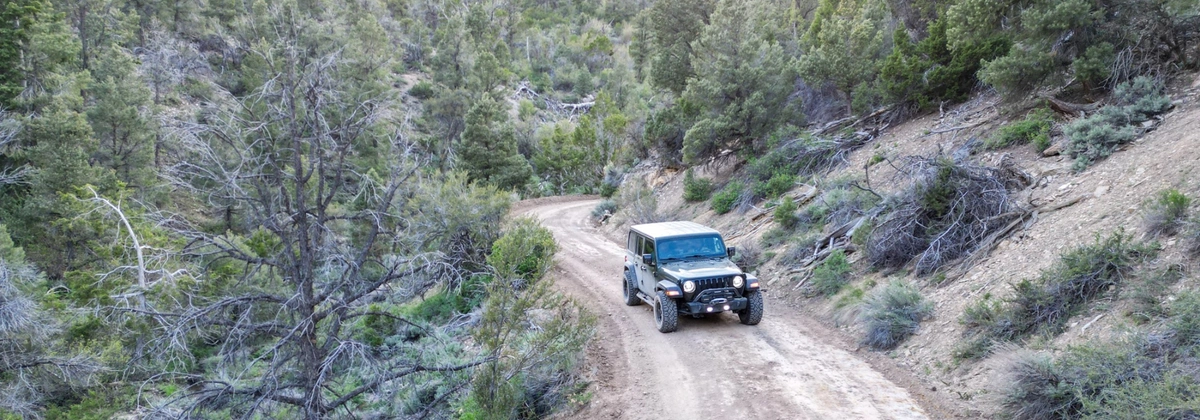
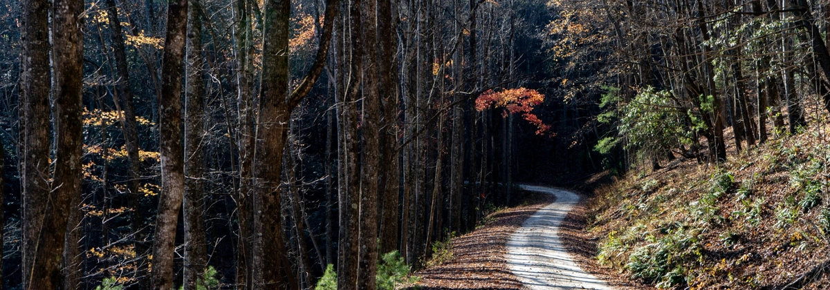
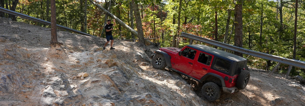
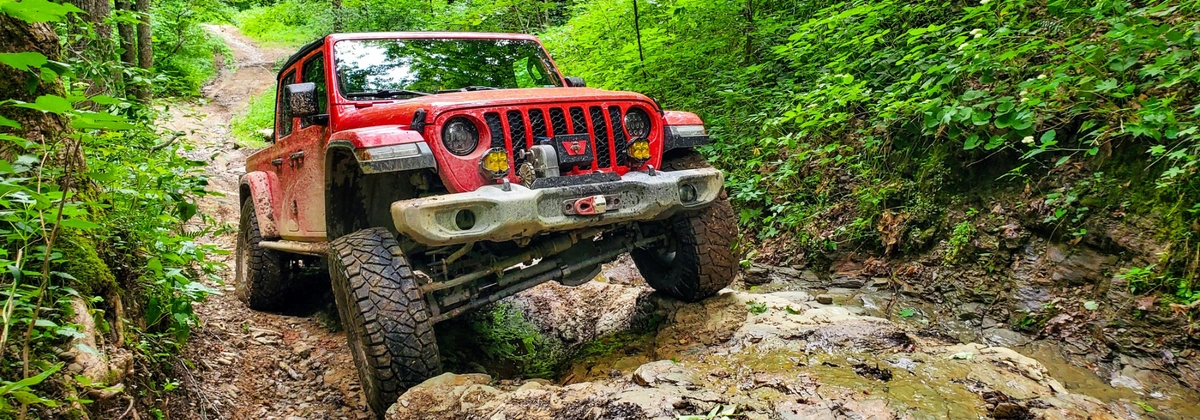
Trail Conditions & Difficulty Levels
National forest trails vary widely in difficulty, from well-maintained gravel roads to rugged terrain requiring high-clearance 4x4 vehicles and recovery gear. Factors like weather and maintenance impact trail conditions, so it's best to check the official website, any recent trail reports,or forums for the latest updates before heading out.
Or you can make it super easy on yourself and get a Trails Offroad membership and get all of that information at the tip of your finger. No more guessing if a trail is open or not! Plus you’ll get photos of the trail, offline maps, detailed information about the trail, and so much more.
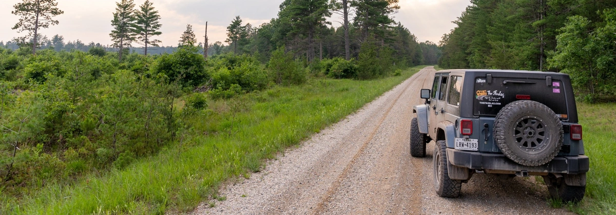
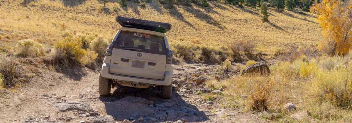
Dispersed Camping & Off-Road Camping Rules
Most national forests allow dispersed camping along off-road trails, but regulations differ by location. Common rules include stay limits (typically 14 days) and permit requirements. Always follow Leave No Trace principles—pack out what you pack in, respect fire restrictions, and camp responsibly to preserve these beautiful landscapes.
Don’t forget to double check that camping is allowed!
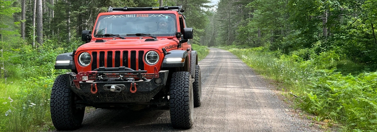
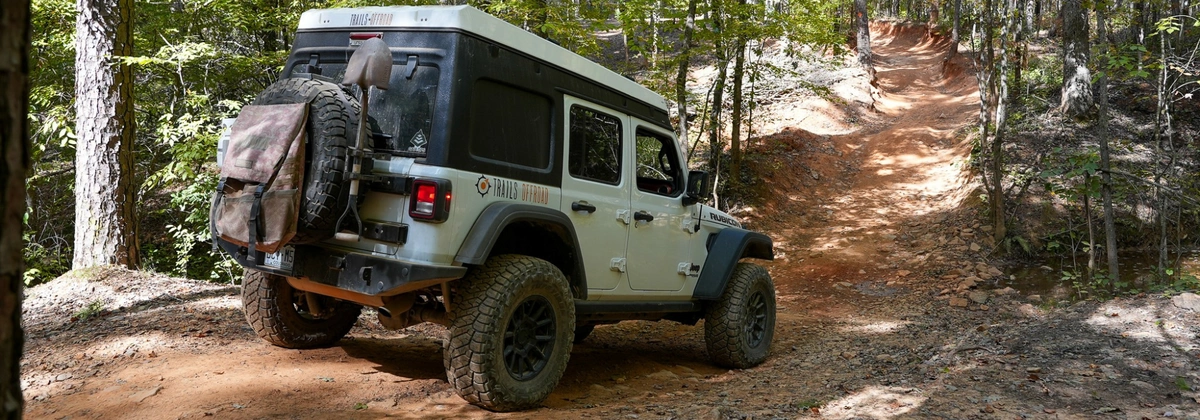
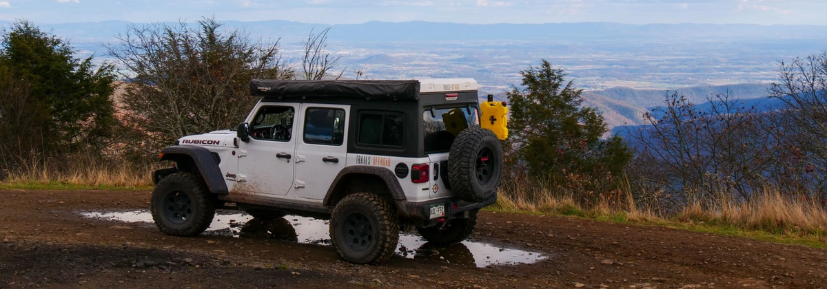
How to Find the Best Off-Road Trails in National Forests with Trails Offroad
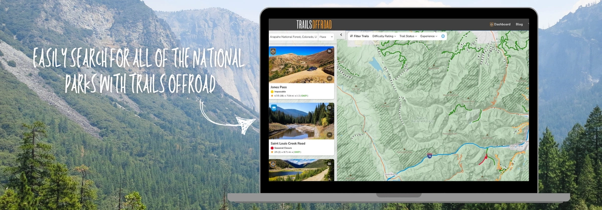
Finding the perfect off-road trail in a national forest is easier than ever with Trails Offroad.
Whether you're looking for beginner-friendly forest roads or extreme rock-crawling trails, Trails Offroad has hundreds of trails to help you plan your next adventure.
All you have to do is navigate to our trail map, switch the search bar to Place and type in the National Forest you are interested in exploring. From here you can filter difficulty, trail status, and experience. On our maps you will also be able to see all the Motor Vehicle Use Maps (MVUM) that are created by public land agencies and detail which routes are open to motorized vehicles. This provides a lot more opportunities to go out and explore on your own.
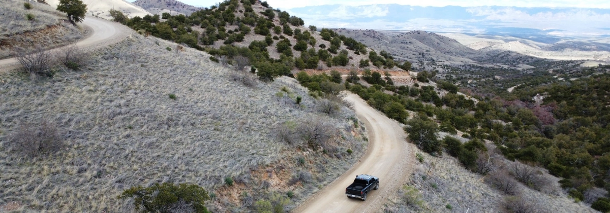
Arizona
Coconino National Forest
- Location: Mormon Lake, AZ
- Difficulty: Moderate
- Distance: 13.4 miles
- Location: Camp Verde, AZ
- Difficulty: Easy
- Distance: 25.48 miles
Coronado National Forest
- Location: Oracle, AZ
- Difficulty: Easy
- Distance: 30.85 miles
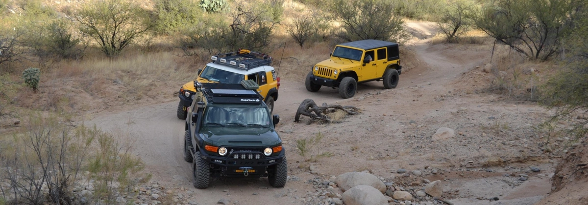
- Location: Oracle, AZ
- Difficulty: Difficult
- Distance: 24.57 miles
Arkansas
Ouachita National Forest
- Location: Royal, AR
- Difficulty: Easy
- Distance: 6.12 miles
- Location: Perryville, AR
- Difficulty: Easy
- Distance: 26 miles
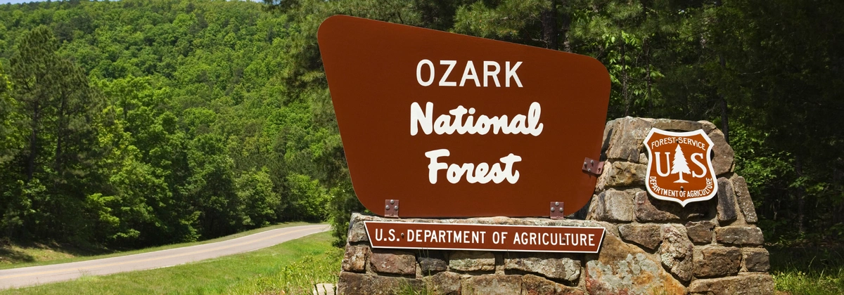
Ozark-St. Francis National Forest
- Location: Hagarville, AR
- Difficulty: Easy
- Distance: 5.55 miles
- Location: Dover, AR
- Difficulty: Easy
- Distance: 10.52 miles
California
Angeles National Forest
- Location: Azusa, CA
- Difficulty: Easy
- Distance: 1.9 miles
- Location: Wrightwood, CA
- Difficulty: Easy
- Distance: 4.03 miles
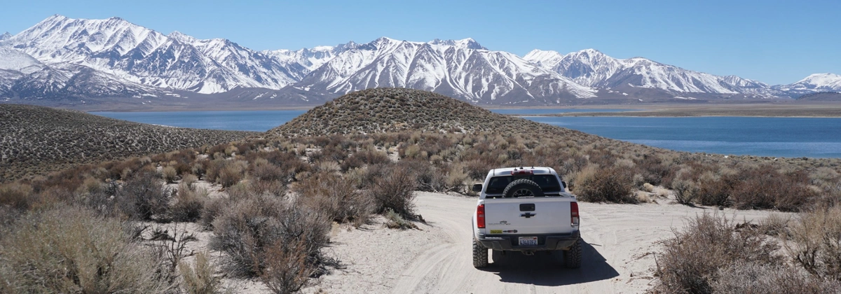
Inyo National Forest
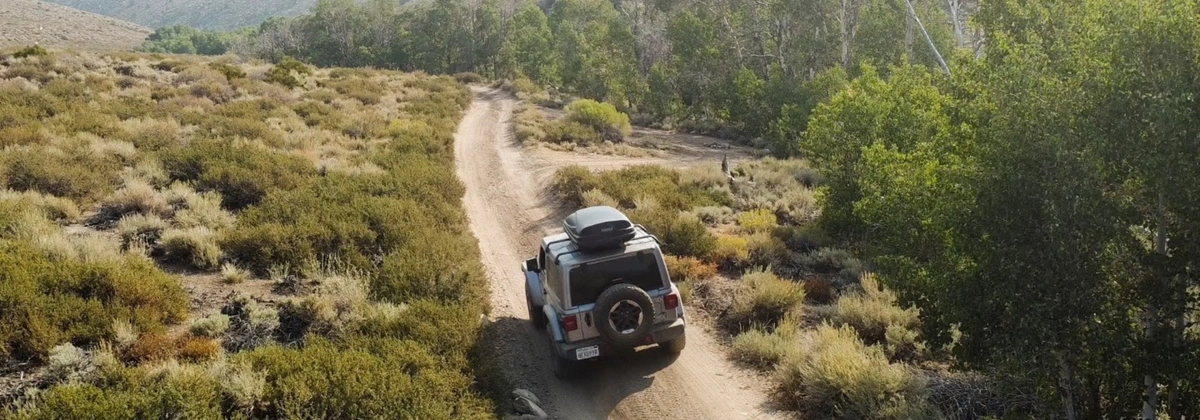
- Location: Bishop, CA
- Difficulty: Moderate
- Distance: 12.26 miles
- Location: Mammoth Lakes, CA
- Difficulty: Moderate
- Distance: 6.83 miles
Los Padres National Forest
Yellow Jacket Trail (Upper) / 20W24 / 126
- Location: Frazier Park, CA
- Difficulty: Easy
- Distance: 2.34 miles
Miller Jeep Trail / 20W06 / 129
- Location: Frazier Park, CA
- Difficulty: Moderate
- Distance: 3.5 miles
San Bernardino National Forest
- Location: Redlands, CA
- Difficulty: Easy
- Distance: 22.79 miles
- Location: Lake Arrowhead, CA
- Difficulty: Difficult
- Distance: 3.05 miles
Tahoe National Forest

- Location: Soda Springs, CA
- Difficulty: Severe
- Distance: 12.25 miles
- Location: Sierra City, CA
- Difficulty: Moderate
- Distance: 4.12 miles
Colorado
Arapaho National Forest
- Location: Empire, CO
- Difficulty: Easy
- Distance: 7.04 miles
Leavenworth Creek Road (AKA McClellan Mountain)
- Location: Georgetown, CO
- Difficulty: Moderate
- Distance: 10.65 miles
Rio Grande National Forest
- Location: Silverton, CO
- Difficulty: Moderate
- Distance: 36.47 miles
- Location: Creede, CO
- Difficulty: Moderate
- Distance: 9.96 miles
Routt National Forest
- Location: Walden, CO
- Difficulty: Easy
- Distance: 18.02 miles
- Location: Gould, CO
- Difficulty: Difficult
- Distance: 6.15 miles
San Juan National Forest
- Location: Telluride, CO
- Difficulty: Difficult
- Distance: 9.79 miles
- Location: Silverton, CO
- Difficulty: Moderate
- Distance: 4.52 miles
Uncompahgre National Forest
- Location: Telluride, CO
- Difficulty: Moderate
- Distance: 12.05 miles
- Location: Ophir, CO
- Difficulty: Moderate
- Distance: 10 miles
White River National Forest
- Location: Montezuma, CO
- Difficulty: Moderate
- Distance: 7.32 miles

- Location: Montezuma, CO
- Difficulty: Moderate
- Distance: 9.14 miles
Florida
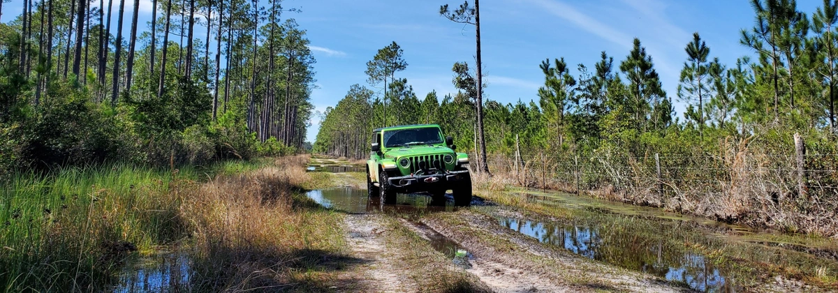
Ocala National Forest
- Location: Fort Mc Coy, FL
- Difficulty: Moderate
- Distance: 12.55 miles
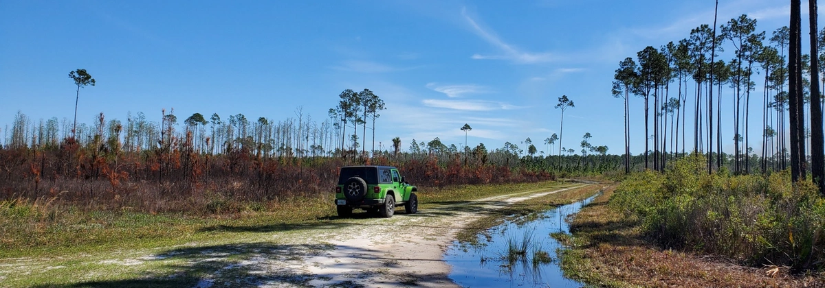
Tread Lightly! Four Wheel Drive Way
- Location: Fort Mc Coy, FL
- Difficulty: Moderate
- Distance: 80.53 miles
Osceola National Fores
- Location: Lake City, FL
- Difficulty: Difficult
- Distance: 11.92 miles
- Location: Lake City, FL
- Difficulty: Moderate
- Distance: 6.02 miles
Georgia
Chattahoochee-Oconee National Forest
- Location: Helen, GA
- Difficulty: Moderate
- Distance: 8.02 miles
- Location: Blairsville, GA
- Difficulty: Difficult
- Distance: 2.5 miles
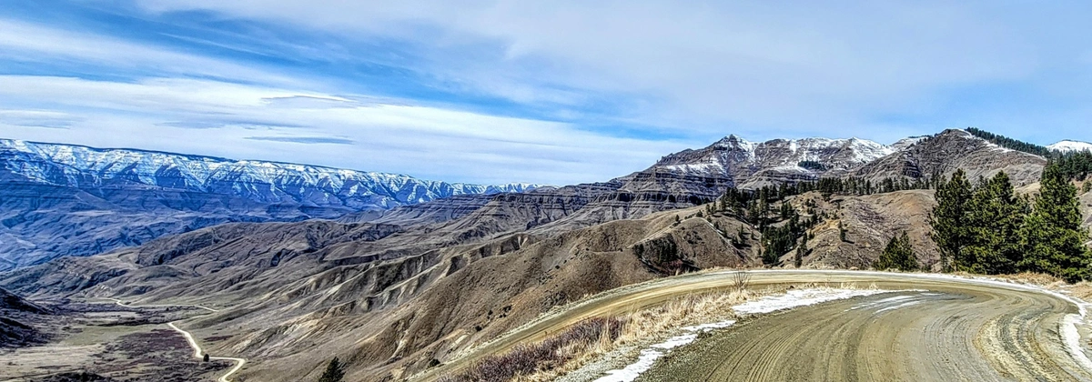
Idaho
Boise National Forest
- Location: Lowman, ID
- Difficulty: Easy
- Distance: 8.25 miles
- Location: Boise, ID
- Difficulty: Easy
- Distance: 62.99 miles
Nez Perce National Forest
- Location: Copperville, ID
- Difficulty: Easy
- Distance: 16.86 miles
- Location: Grangeville, ID
- Difficulty: Easy
- Distance: 93.8 miles
Salmon-Challis National Forest
- Location: Stanley, ID
- Difficulty: Moderate
- Distance: 15.92 miles
- Location: Stanley, ID
- Difficulty: Easy
- Distance: 4.37 miles
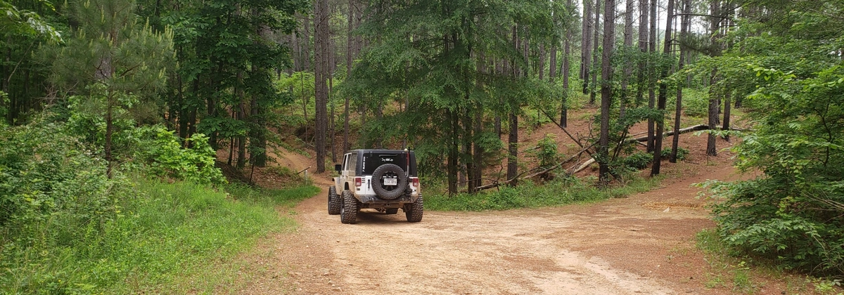
Kentucky
Daniel Boone National Forest
- Location: McKee, KY
- Difficulty: Easy
- Distance: 6.91 miles
- Location: Beattyville, KY
- Difficulty: Easy
- Distance: 3.99 miles
Michigan
Hiawatha National Forest
- Location: Shingleton, MI
- Difficulty: Easy
- Distance: 32.71 miles
- Location: Strongs, MI
- Difficulty: Moderate
- Distance: 4.25 miles
Huron-Manistee National Forests

- Location: Keno, MI
- Difficulty: Easy
- Distance: 12.37 miles
- Location: Sand Lake, MI
- Difficulty: Easy
- Distance: 8.98 miles
Ottawa National Forest
- Location: Elmwood, MI
- Difficulty: Easy
- Distance: 15.8 miles
- Location: Lake Mine, MI
- Difficulty: Easy
- Distance: 22.85 miles
Mississippi
De Soto National Forest
- Location: D'Iberville, MS
- Difficulty: Easy
- Distance: 3.68 miles
- Location: Leaf, MS
- Difficulty: Easy
- Distance: 13.95 miles
Missouri
Mark Twain National Forest
- Location: Greeley, MO
- Difficulty: Moderate
- Distance: 21.59 miles
- Location: Berryman, MO
- Difficulty: Easy
- Distance: 0.38 miles
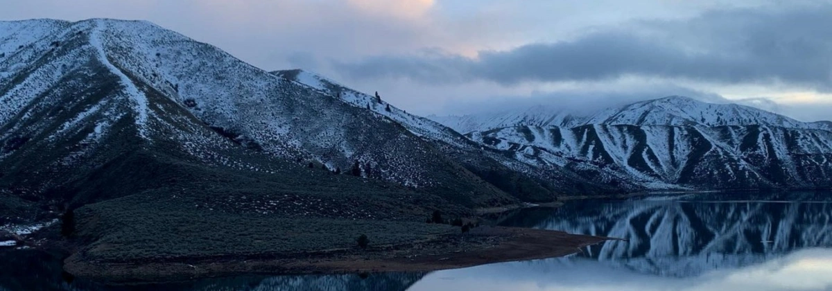
Montana
Custer Gallatin National Forest
- Location: MT
- Difficulty: Easy
- Distance: 2.02 miles
- Location: Gallatin Gateway, MT
- Difficulty: Moderate
- Distance: 3.5 miles
Flathead National Forest
- Location: Swan Lake, MT
- Difficulty: Easy
- Distance: 8.69 miles
Upper Dayton Creek OHV Trail aka Blacktail-Wild Bill ORV Trail System
- Location: Lakeside, MT
- Difficulty: Easy
- Distance: 4.37 miles
Helena-Lewis and Clark National Forest
- Location: Comet, MT
- Difficulty: Moderate
- Distance: 3.76 miles
Nevada
Humboldt-Toiyabe National Forest
- Location: NV
- Difficulty: Easy
- Distance: 14.13 miles
New Mexico
Carson National Forest
- Location: NM
- Difficulty: Easy
- Distance: 3.38 miles

- Location: NM
- Difficulty: Easy
- Distance: 12.09 miles
Cibola National Forest
- Location: NM
- Difficulty: Easy
- Distance: 23.63 miles
- Location: NM
- Difficulty: Moderate
- Distance: 16.66 miles
North Carolina
Nantahala National Forest
- Location: Oak Grove, NC
- Difficulty: Easy
- Distance: 7.73 miles
- Location: Andrews, NC
- Difficulty: Easy
- Distance: 10.77 miles
Pisgah National Forest
Kistler Memorial Highway (Old NC 105)
- Location: Linville, NC
- Difficulty: Easy
- Distance: 13.95 miles
- Location: Morganton, NC
- Difficulty: Easy
- Distance: 19.54 miles
Uwharrie National Forest
- Location: Uwharrie, NC
- Difficulty: Moderate
- Distance: 1.88 miles
- Location: Uwharrie, NC
- Difficulty: Difficult
- Distance: 3.29 miles
Ohio
Wayne National Forest
- Location: Wingett Run, OH
- Difficulty: Moderate
- Distance: 2.38 miles
- Location: Hohman, OH
- Difficulty: Moderate
- Distance: 0.89 miles
Oklahoma
Ouachita National Forest
Kiamichi Trail aka (K-Trail) - East Half
- Location: Muse, OK
- Difficulty: Moderate
- Distance: 34.25 miles
Oregon
Deschutes National Forest
- Location: Deschutes River Woods, OR
- Difficulty: Moderate
- Distance: 25.09 miles
Mount Hood National Forest
- Location: Government Camp, OR
- Difficulty: Easy
- Distance: 11.17 miles

- Location: Tygh Valley, OR
- Difficulty: Moderate
- Distance: 3.39 miles
Wallowa–Whitman National Forest
- Location: Encina, OR
- Difficulty: Easy
- Distance: 41.79 miles
- Location: Little Alps, OR
- Difficulty: Easy
- Distance: 30.86 miles
Pennsylvania
Allegheny National Forest
- Location: Sheffield, PA
- Difficulty: Easy
- Distance: 8.77 miles
- Location: Marienville, PA
- Difficulty: Easy
- Distance: 7.64 miles
South Carolina
Francis Marion National Forest
Honey Hill West and Thompson Branch
- Location: Shulerville, SC
- Difficulty: Easy
- Distance: 4.41 miles
- Location: Shulerville, SC
- Difficulty: Easy
- Distance: 5.93 miles
South Dakota
Black Hills National Forest
- Location: Hill City, SD
- Difficulty: Easy
- Distance: 12.75 miles
- Location: Deadwood, SD
- Difficulty: Difficult
- Distance: 3.96 miles
Tennessee
Cherokee National Forest

- Location: Tom Town, TN
- Difficulty: Easy
- Distance: 7.89 miles
- Location: Houston Valley, TN
- Difficulty: Easy
- Distance: 6.03 miles
Texas
Sam Houston National Forest
- Location: Montgomery, TX
- Difficulty: Easy
- Distance: 155.4 miles
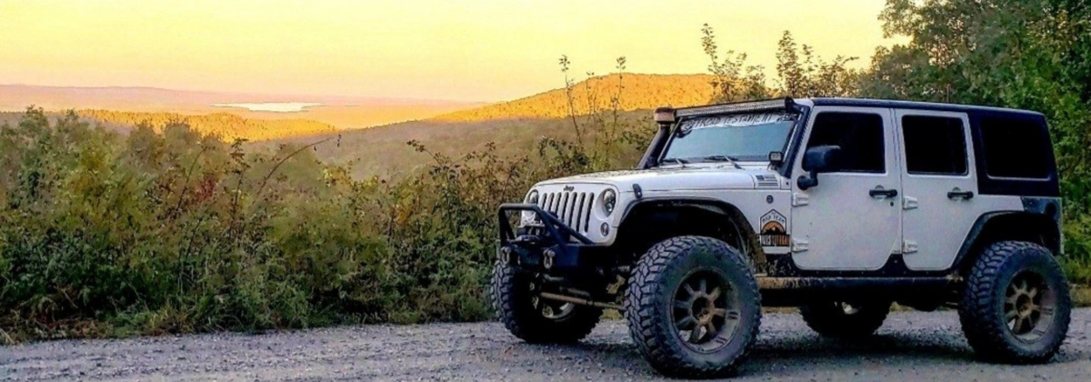
Virginia
George Washington National Forest
- Location: Harrisonburg, VA
- Difficulty: Easy
- Distance: 4.03 miles
- Location: Mallow, VA
- Difficulty: Difficult
- Distance: 7.54 miles
Jefferson National Forest
- Location: Maggie, VA
- Difficulty: Easy
- Distance: 14.03 miles
- Location: Abbott, VA
- Difficulty: Easy
- Distance: 9.63 miles
Washington
Mount Baker–Snoqualmie National Forest
- Location: Snoqualmie, WA
- Difficulty: Easy
- Distance: 15.97 miles

- Location: Greenwater, WA
- Difficulty: Easy
- Distance: 15.05 miles
Okanogan–Wenatchee National Fores
- Location: Cashmere, WA
- Difficulty: Easy
- Distance: 22.53 miles
- Location: Cliffdell, WA
- Difficulty: Difficult
- Distance: 6.3 miles
Olympic National Forest
- Location: WA
- Difficulty: Easy
- Distance: 22.53 miles
- Location: Blyn, WA
- Difficulty: Easy
- Distance: 15.48 miles
Wyoming
Bridger-Teton National Forest
- Location: WY
- Difficulty: Easy
- Distance: 72.02 miles
- Location: Hoback Junction, WY
- Difficulty: Easy
- Distance: 2.16 miles
Medicine Bow-Routt National Forest
- Location: Centennial, WY
- Difficulty: Moderate
- Distance: 9.43 miles
- Location: Centennial, WY
- Difficulty: Moderate
- Distance: 8.97 miles
West Virginia
Monongahela National Forest
- Location: Davis, WV
- Difficulty: Easy
- Distance: 14.5 miles
- Location: Harman, WV
- Difficulty: Difficult
- Distance: 4.2 miles

Marie is a Washington State native who loves to explore the great outdoors with her partner and son. They typically explore in her 2021 4Runner out on trails but recently added a 2023 Tacoma to the build list. When she is not behind the wheel, Marie enjoys capturing moments with her camera, spending time with friends and family, and gardening! Marie is also the founder of PNW Overlanders, a local group in Washington that organizes trail rides and campouts across the state.


Community
Partners