Region

The Tintic Mountains/Little Moab

Utah

Offroad Trails in The Tintic Mountains/Little Moab

A Region within Utah
3.6/5 (70)

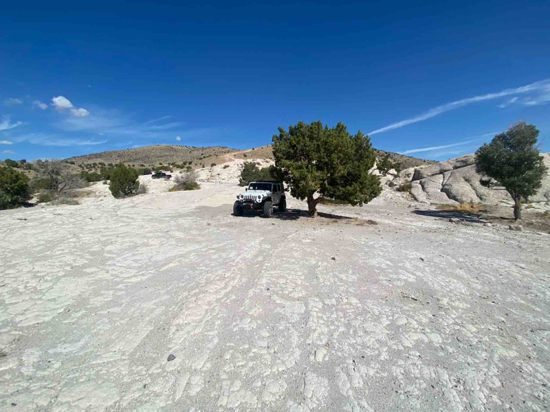
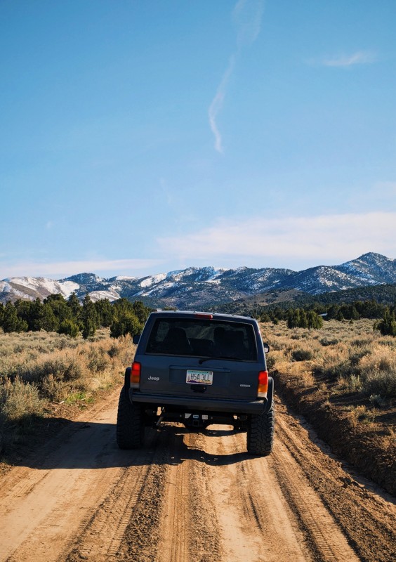
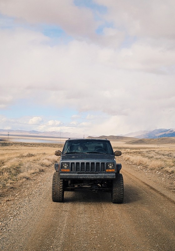
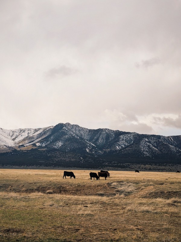
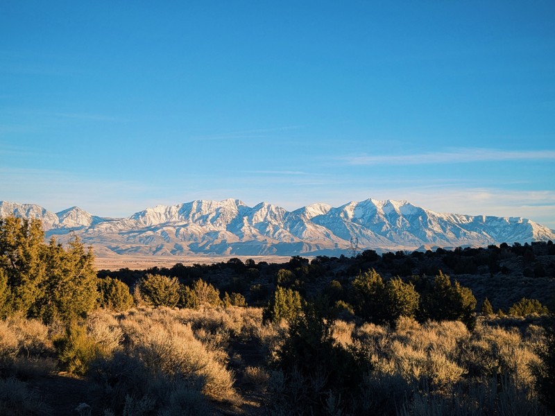
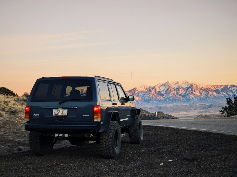
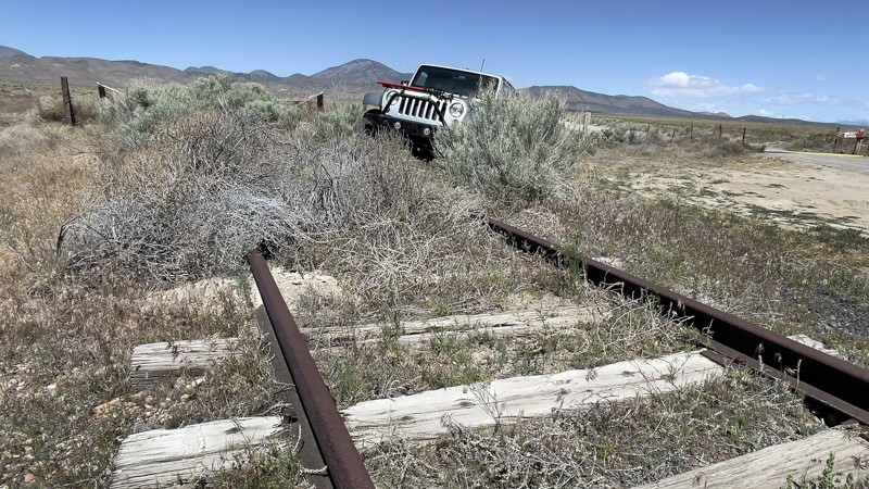
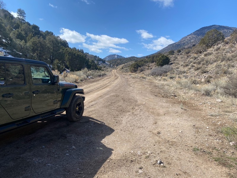
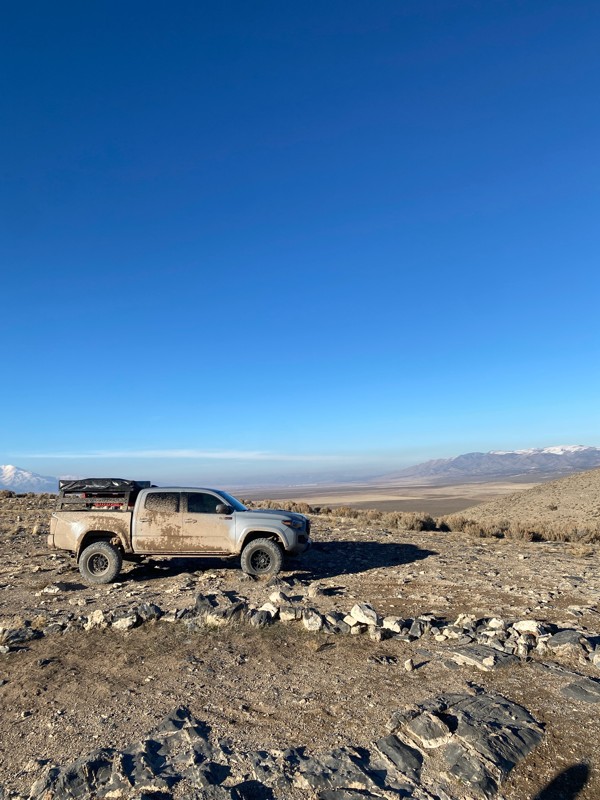
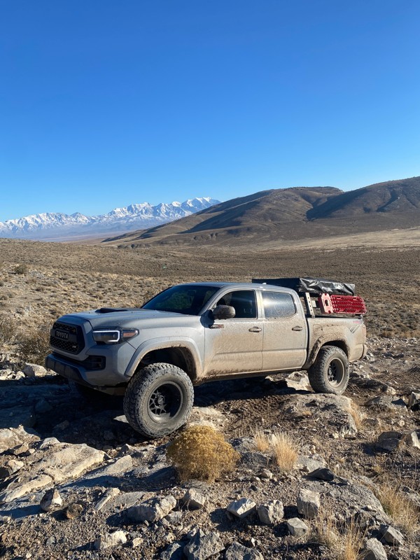
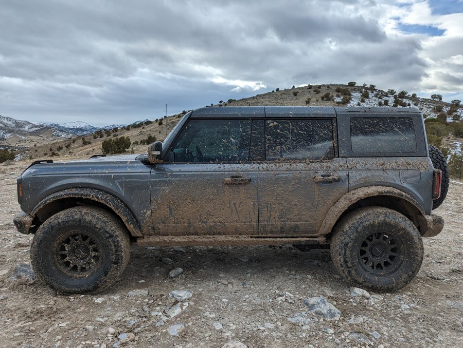
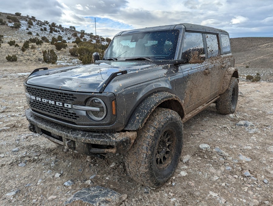
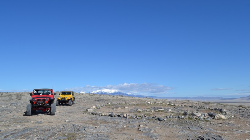
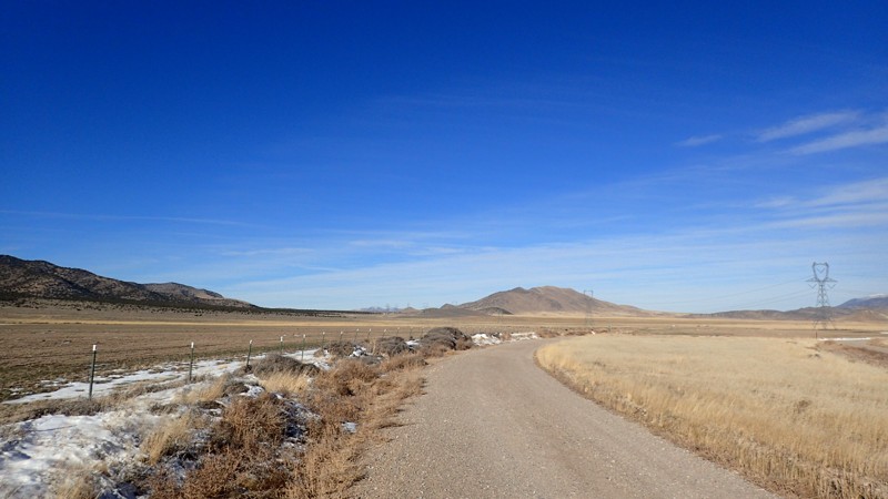
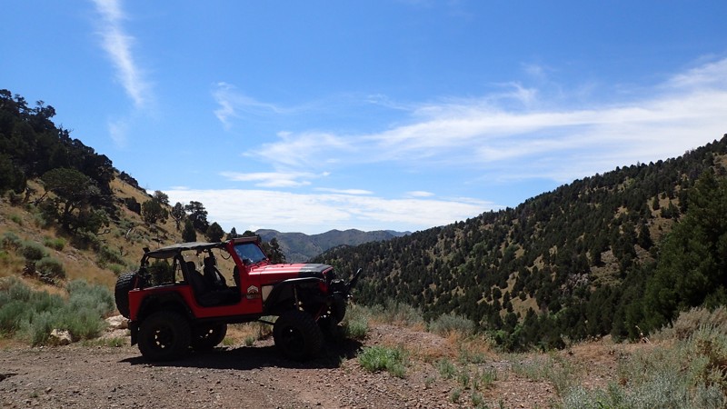
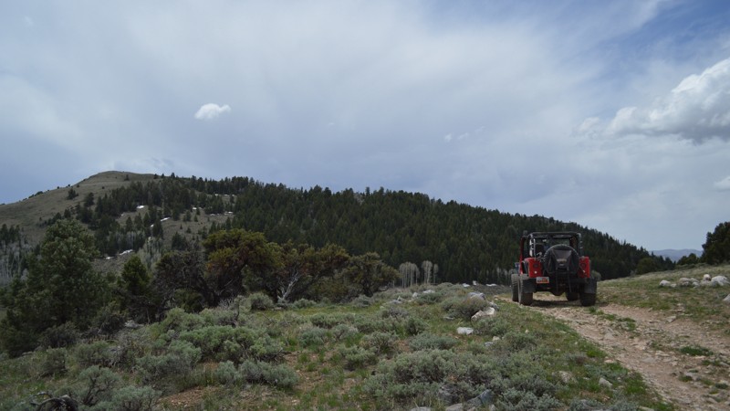
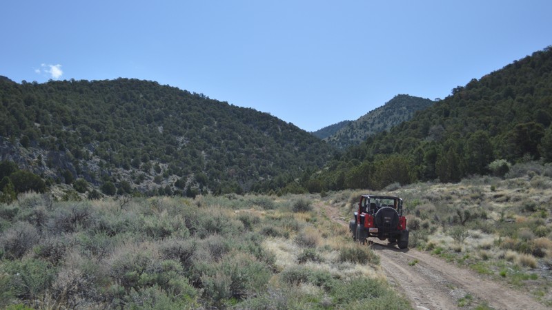
Just an hour’s drive south of the greater Salt Lake City metropolitan area lay two offroad gems: The Tintics and Little Moab. For a quick weekend away into nature with accessible off-grid camping, the picturesque Tintic Mountains are the place to be. Or get a mild to wild taste of Moab rock crawling at Little Moab. Better yet? Visit both!

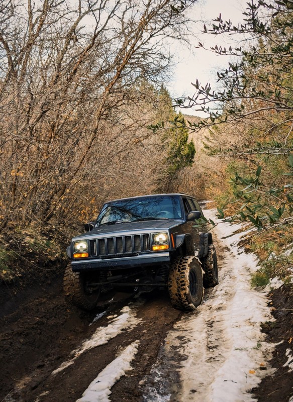
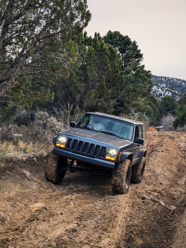
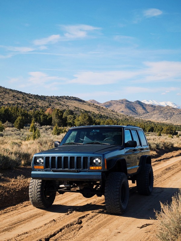
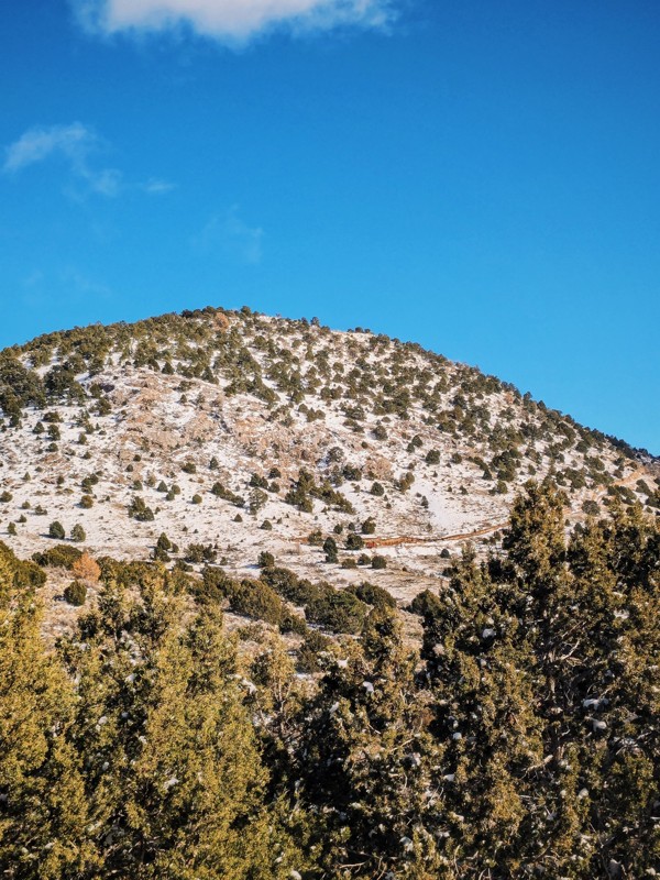
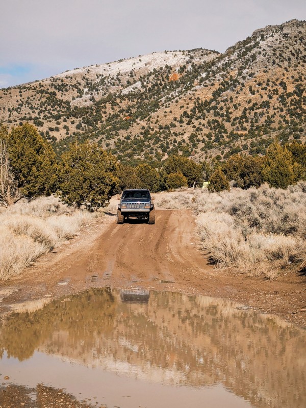
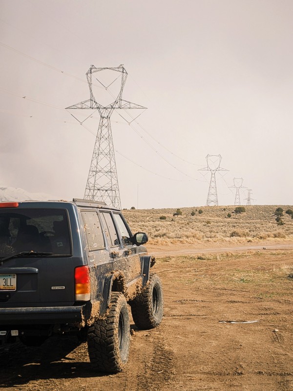
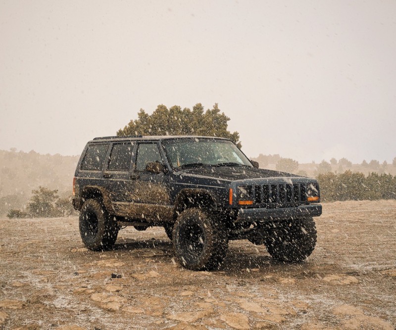
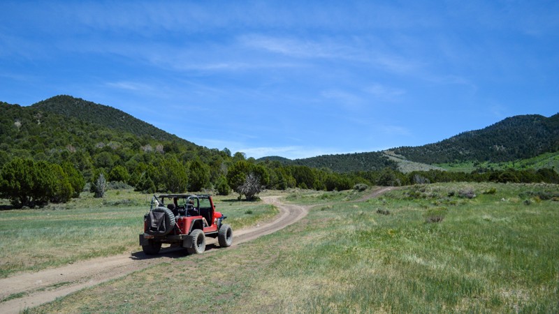
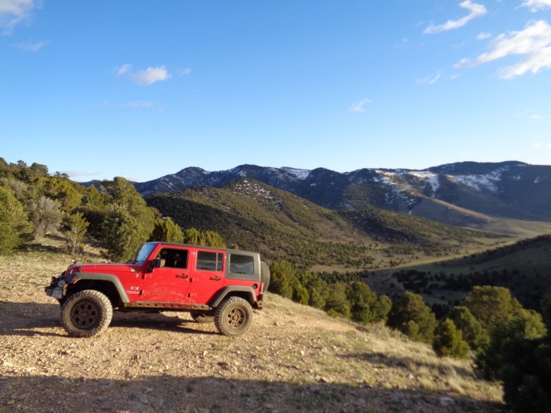
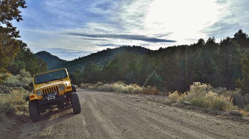
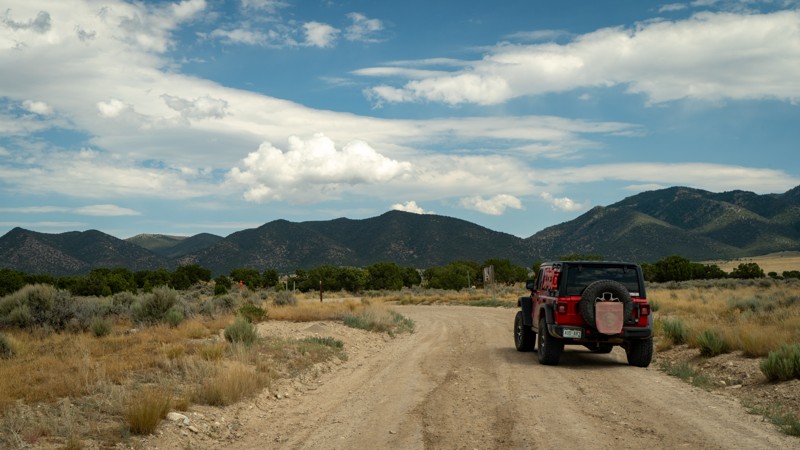
The Tintics are a small mountain range in the deserts of western Utah, rich with Juniper and Pinyon trees plus the obligatory sagebrush. Almost all the dirt roads in The Tintics come with an “easy” rating, making it a great choice even for those without hardcore offroad rigs. The trails generally consist of packed dirt and crushed rock. That is unless it’s wintertime when The Tintics can turn into a snow-wheeling wonderland. The rest of the year, the little mountain range offers plenty of dispersed campsites, large and small.

While visiting The Tintics, make sure to check out the area’s rich mining history. This mountain range was known to hide gold and various base-metal ores, but its most lucrative mineral was silver. Most of the mines are closed to the public, but a few are still accessible. Tread lightly so they can still be enjoyed for years to come.

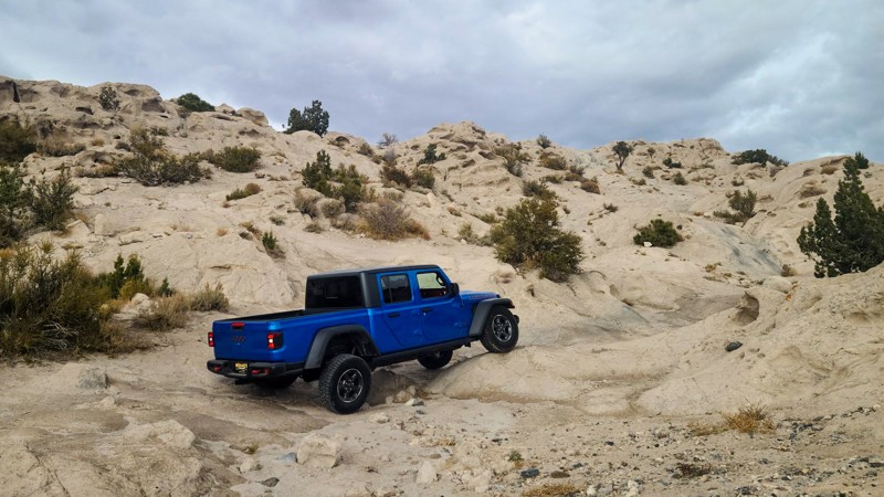
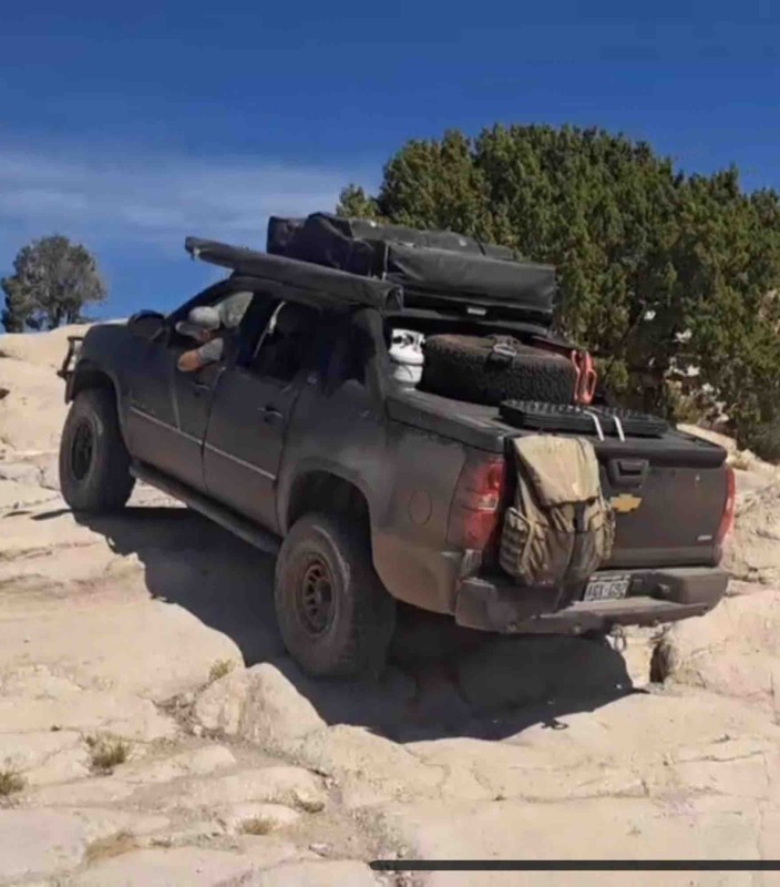
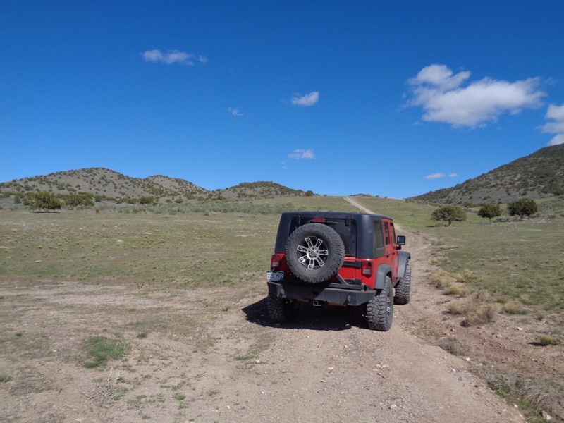
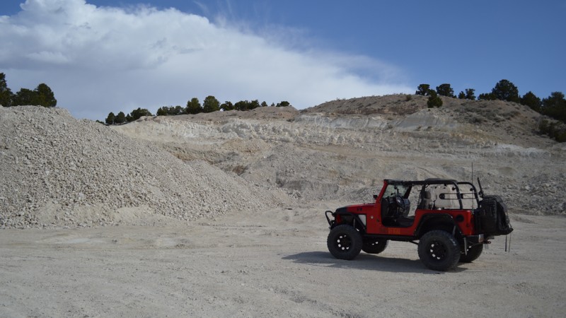
As for Little Moab, the name speaks for itself. This play area is a perfectly miniature version of Moab and allows unlimited exploration. What isn’t little about Little Moab are the challenges it provides. Obstacles range from speed bumps fit for a Pius all the way up to buggy lines only the most experienced dare try. Get out there and have some fun, but know your limits.

Top Reasons to Explore Here
Altitude Category IconAltitude
Beginner Category IconBeginner
Camping Category IconCamping
Desert Category IconDesert
Forest Category IconForest
Ghost Town Category IconGhost Town
Iconic Category IconIconic
Mine Category IconMine
Overland Category IconOverland
Rock Category IconRock
Scenic Category IconScenic
Snow Wheeling Category IconSnow Wheeling
Trail Types
Scout Route
Full Trail Guide

Preview Trail Icon
Preview Trails
easy
moderate
difficult
severe
extreme

All-Access
Scout Route
Start a 7-day Free Trial

Most Recent Trail Reviews
Most Popular

Search for Trails
Utah: Elberta Slant Road Hero Photo
All-Access Preview Icon
4.3/5 (28 reviews)
Updated: 06/26/2024
Elberta Slant Road
Open
/
Elberta, Utah/
8.26 miles/
About an hour
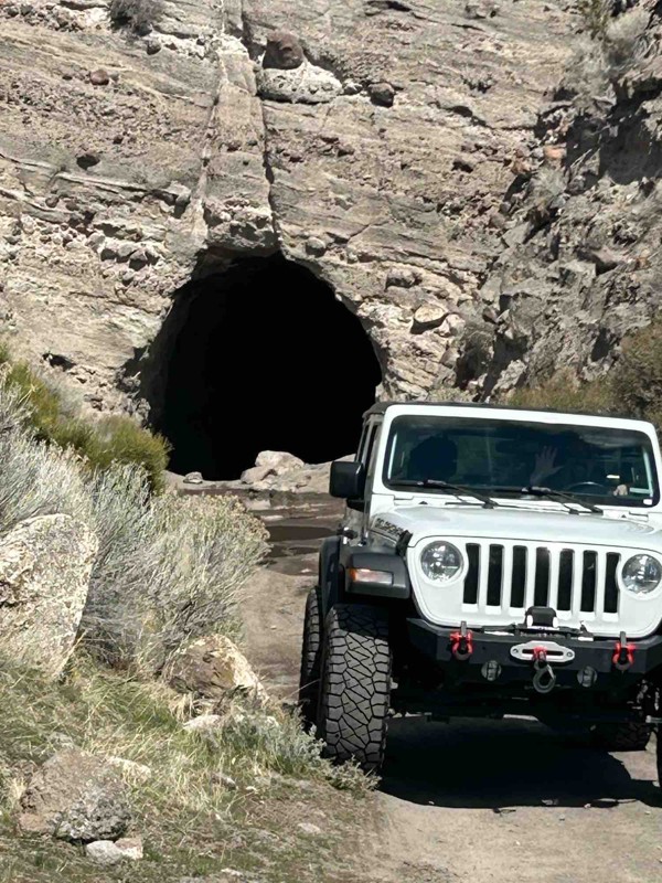
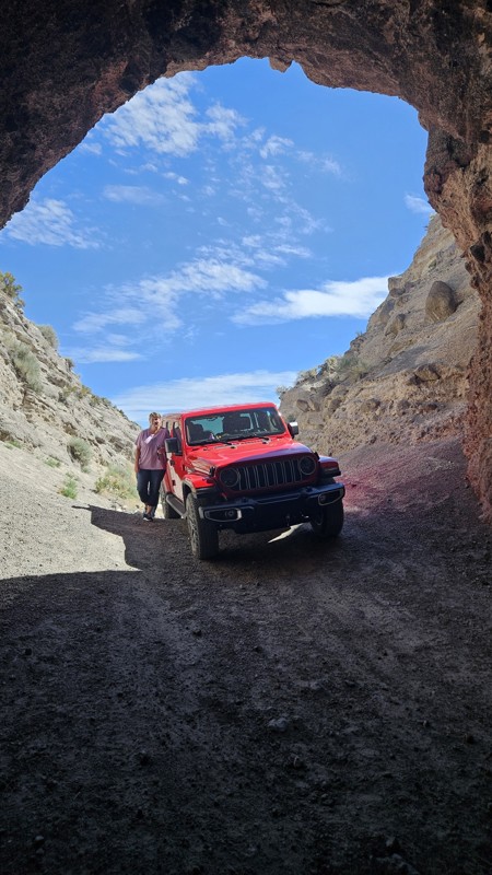
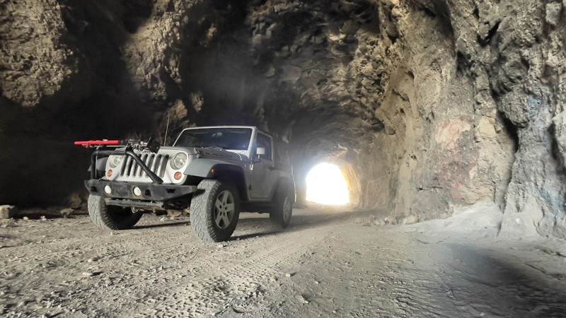
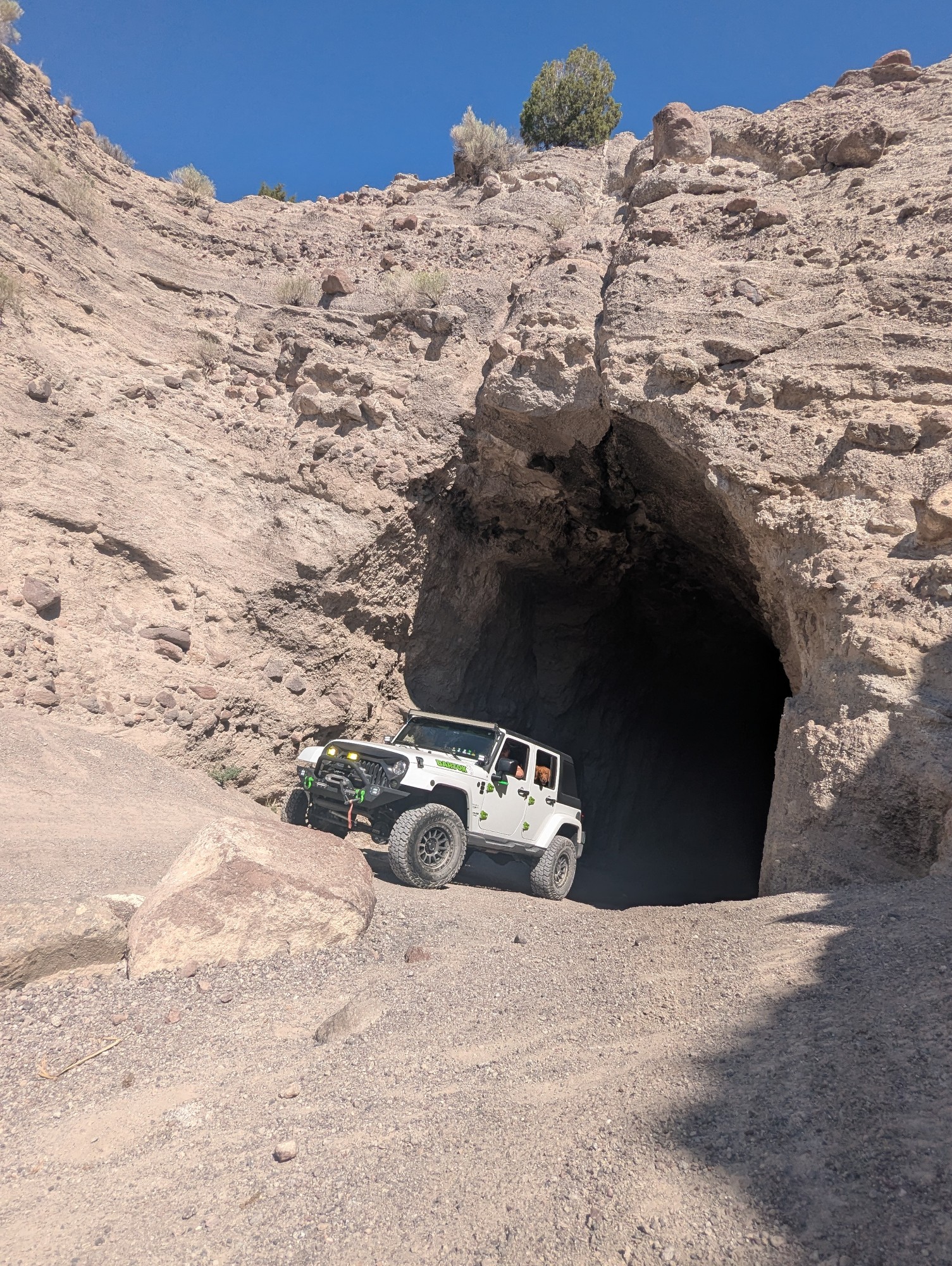
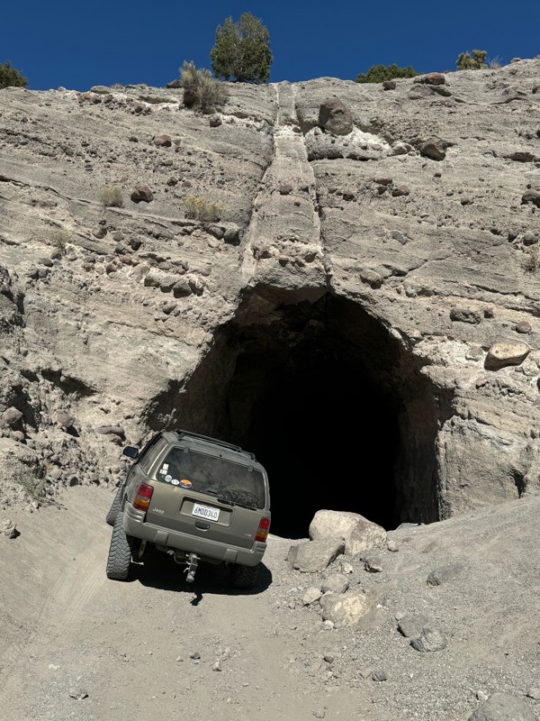
Tucked in the hills of the Tintic Mountains lies a rich history. This easy off-road trail puts you right through the heart of it all, following closely to what used to be the Tintic Railroad. Challenges are minimal allowing vehicles of all makes and models access to such an area. The trail is mellow but don't let that stop you from visiting. The tunnel along the route is worth the drive alone!
Utah: Little Moab/Chimney Rock Pass Hero Photo
All-Access Icon
4.2/5 (8 reviews)
Updated: 03/02/2024
Little Moab/Chimney Rock Pass
Elberta, Utah
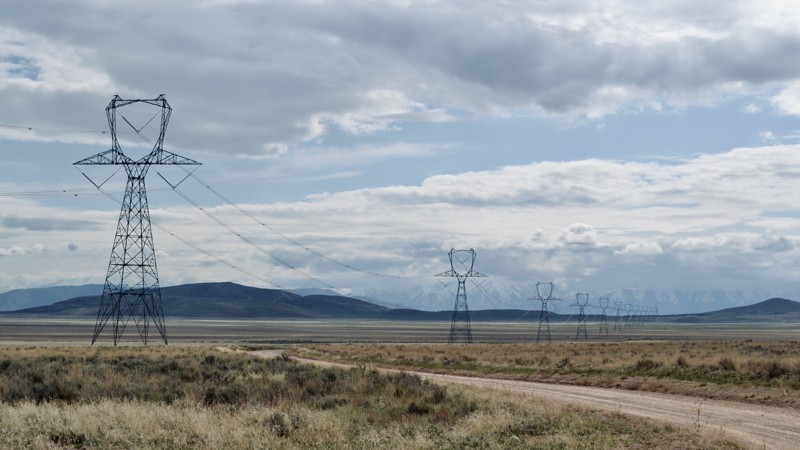
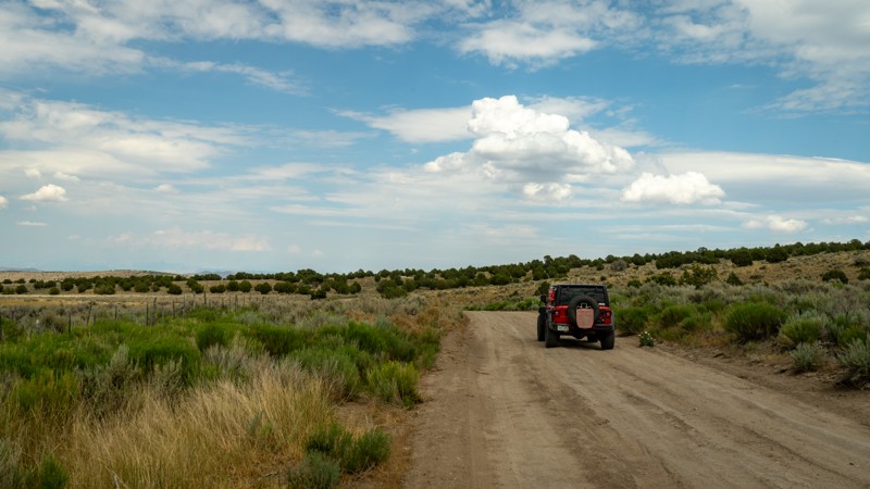
The Prospector OHV Backcountry Complex is a network of several hundred miles of trails throughout western Utah. The plans were approved in 2010 to start funding the project to add signs and maps throughout the area. Leg one of this section starts at Utah highway 68 and takes you over to Allen's Ranch Road, also giving access to Little Moab and The Great Wall. This is an easy day trip from Salt Lake City or Provo and can give you some challenges with the spurs offered, or you can plan for the long haul and ride for days throughout this network ending up in Eureka, Vernon, Stockton, or even Dougway. Sometimes, all we need is a dirt road and a full tank of gas.
Utah: Nutty Putty Cave Hero Photo
All-Access Icon
4.3/5 (3 reviews)
Updated: 01/29/2024
Nutty Putty Cave
Elberta, Utah
Out in the West Desert of Utah lies a cave. Known by most locals, and now even across the country, this hydrothermal cave has become infamous. In 2009, a gentleman by the name of John Edward Jones went in to explore the cave with his family, never to climb back out. Now a gravesite, Nutty Putty Cave has been closed for good, and there has even been a movie created about the whole unfortunate incident, The Last Descent. Still, people often come to check it out. The trail around it provides light entertainment while the viewpoint just north of the cave allows for nearly 360-degree views of the surrounding desert. If you have come to the area for just a day, or to spend a weekend away from the city, this is a must-visit area.
Utah: Black Rock Canyon Hero Photo
All-Access Icon
2.7/5 (4 reviews)
Updated: 02/11/2025
Black Rock Canyon
Eureka, Utah

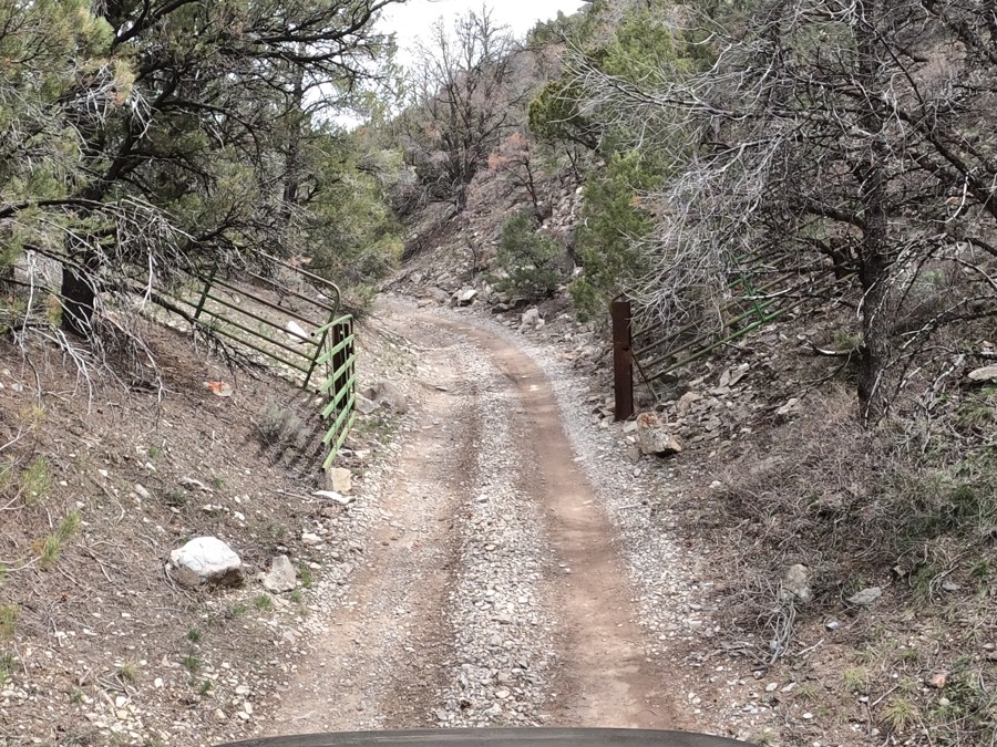
This is the most well-known offroad trail in the area, although it is still pretty abandoned most of the year. This popular trail from Saratoga to Vernon Reservoir follows a section of the Prospector OHV Complex. This complex has hundreds of miles of dirt roads ranging from Tooele to Eureka and Utah Lake to Dugway. You could spend days on the trails and never see the same thing twice. The mines in the area are the main reason for the offroading since this was once one of the most extensive mining areas in Utah. There are still plenty of mines that you can explore if you know where they are. Although now closed off, Nutty Putty Cave is one of the more famous of them all and even has a movie out about the story of the man whose body remains within the walls. Black Rock Canyon is the only trail to take you straight up and over the East Tintic Mountains, allowing you to reach a new area of trails. The View is a spur off of this trail and provides one of Utah's best views of the West Desert. Be sure to pack plenty of food and water, as getting lost on all the spurs out here is easy, and bring a flashlight to explore the caves!

Utah: Broad Canyon Hero Photo
All-Access Icon
4/5 (6 reviews)
Updated: 02/26/2024
Broad Canyon
Eureka, Utah
This is a beautiful drive into the heart of the Tintic Mountains. The network of trails in the area can keep you exploring for days but still make for a fun short trip from the Salt Lake or Provo Valley's. The trails near the base of the Tintic Mountains also make for some good snow wheeling due to the easy nature of the trails in the summer and fall months. During the summer, these small canyons can offer some cool away from the heat of the west desert. In the fall, the leaves are on fire and make for some very scenic photos, especially if you get to the higher elevations and look out west over Vernon, north toward 5 Mile Recreation Area, or east toward Utah Lake. Broad Canyon is the entrance from the north side of the mountains that takes you into the center of the range where you can access many other spurs taking you into random canyons, fun little playgrounds, and many mines. You could have a month off of work and not explore all of what the Tintic Mountains have to offer.
Utah: Chiulos Canyon Road Hero Photo
All-Access Icon
3/5 (2 reviews)
Updated: 11/27/2023
Chiulos Canyon Road
Eureka, Utah

Chiulos Canyon Road is a nice drive through the Tintic Mountains, connecting you from Homansville Pass Road over to Jenny Lind Canyon. This steady trail features some history of the mining industry that used to be present back in the late 1800's and into the 1920's. The Farragut mine shaft is right along this route, which has a large grate covering it, however, you are still able to walk out over the entrance. This looks to be one of the deeper mine shafts to walk over in the area. This trail also allows access to Eureka via Jenny Lind Canyon so you can get some food or fuel if needed. If you are looking to do a little easy exploring in the Tintic Mountains, be sure to run Chiulos Canyon Road and save some time for a little hiking!

Utah: Homansville (Holmansville) Pass Road Hero Photo
All-Access Icon
2.6/5 (5 reviews)
Updated: 06/05/2022
Homansville (Holmansville) Pass Road
Eureka, Utah
In the 1870s, the little town of Homansville was just starting up. The Tintic Mining District started booming with all of the silver and other minerals being mined. Throughout the 1870s, '80s, and 90's the mines in this area produced enough profit to be considered the second-largest mining district in the state of Utah and in the top 25 in the nation. Prior to the 1900s, the town was abandoned. Today, you can still see remains of very few buildings. The trail pulls you from Highway 6 just north of Eureka and allows you to take a mild drive through the Tintic Mountains up to Allen's Ranch. Mines are rich in the area and you can often see tailings along the hillside. With all of the spurs offered in the area, it's hard to spend just a short day up here.
Utah: East Tintic Mountain Exploratory Canyon Route Hero Photo
All-Access Icon
2.2/5 (4 reviews)
Updated: 03/31/2024
East Tintic Mountain Exploratory Canyon Route
Eureka, Utah
About 1 1/2 hours from Salt Lake City, this four-wheel-drive route is in the Prospector OHV Network and brings you along the East Tintic Mountains. This route gives you off-road access into the historic canyons in which the prospectors mined silver and gold in this area referred to as the "Tintic Mining District." The Tintic Mining District is among the oldest mining camps in Utah. Ore was first discovered in December 1869, about a mile east of Silver City, and the district was organized the following spring. The district is named in honor of the Ute Indian Chief Tintic, who lived his whole life in the area with his tribe. Shortly after the district was organized, an influx of settlers, prospectors, and miners started to move in. By 1899, the Tintic District was the leading mining center of the state of Utah.
Utah: The View Hero Photo
All-Access Icon
5/5 (2 reviews)
Updated: 09/01/2023
The View
Eureka, Utah
Probably one of the best views in the area, this is definitely a worth while spur. It is just a short 1.3 miles off of Black Rock Canyon and is very easy. If you search around, you can even find a geocache hidden in a tree. From the top, you can see all the way over Utah Lake to Provo and the Wasatch Mountains. If you turn around, you can see to Vernon and the Rush Valley to the Onaqui Mountains and the Sheeprock Mountains.
Utah: Allen's Ranch Road Hero Photo
All-Access Icon
3/5 (2 reviews)
Updated: 09/18/2023
Allen's Ranch Road
Elberta, Utah

This is an important road in the area. Although it may be short and mild, it allows quick access to the Tintic Mountains from Little Moab/Chimney Rock Pass on a public road. Other roads in the area are quite a bit out of the way or private property. This is also part of the Prospector OHV Backcountry Complex, taking you from Utah Lake over to Vernon Reservoir. The Prospector OHV Backcountry Complex is a network of trails in the west desert of Utah, taking you from town to town by dirt. The network spans hundreds of miles and achieved funding in 2010 for signage and maps. The network ranges from Tooele to Eureka and Utah Lake over to Dugway. This accommodates day runs to long multi-day trips to everything in between. Gear up and be ready for an adventure in the west desert of Utah.

Utah: Silver Dollar Mine Hero Photo
All-Access Icon
4.2/5 (4 reviews)
Updated: 06/05/2022
Silver Dollar Mine
Eureka, Utah
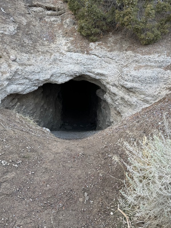
Tucked away in the Tintic Mountains lies a 1200-foot long shaft dating back to the 1890s. Once you reach the end of the road, you will see the open mine shaft of Silver Dollar Mine. Unfortunately, this mine did not produce enough ore from its limestone center so it was not in use for very long. This is just one of the many mines in the area, however, it is one of the only remaining open mines. If you venture out on a hot day, stand near the entrance to feel a nice temperature drop!
Utah: Mill Canyon Hero Photo
All-Access Icon
3/5 (1 reviews)
Updated: 12/18/2023
Mill Canyon
Eureka, Utah

Mill Canyon is one of the most rewarding trails in the Tintic Mountains. Although this offroad trail doesn't contain many obstacles, the view from the top is well worth the short trip up. In the springtime, camping up at Dry Lake is as peaceful as it gets. The history in this area dates back to the 19th century, with the Tintic Mountains being 20th of the 25 richest gold districts in the United States and the second most profitable mining district in the state. Today, the area is now defunct, with the town of Eureka remaining with around 500 residents. Remains of old mining towns are scattered throughout the hills, with a few mine shafts still visible. If ghost towns are your thing, this is the area to be exploring.

Utah: Barlow Canyon Hero Photo
All-Access Icon
4.2/5 (5 reviews)
Updated: 01/07/2025
Barlow Canyon
Eureka, Utah

Barlow Canyon offers the best old mines and prospects in the area. The trail passes the Scranton Mine, which produced silver, lead, and zinc. If you are willing to do a little hiking, there are a lot of interesting historical artifacts to see. Combine this with Miners Canyon and The View for a good day of mining ruins and scenery.

Utah: Jenny Lind Canyon Hero Photo
All-Access Icon
0/5 (0 reviews)
Updated: 05/04/2019
Jenny Lind Canyon
Eureka, Utah
Jenny Lind Canyon is another quick and easy route in toward the large network of trails within the Prospector OHV Complex; a several hundred mile span of trails along the west desert. This entire mountain range will provide several days worth of exploration. This trail stems from the historic and now dwindling town of Eureka. At its height, this city was once the 9th largest in Utah, where thousands of people flocked during the fortuitous discovery of mineral-rich hills, leading to the development of the Tintic Mining District. The Jenny Lind Project involved extensive exploration and development within the canyon by the prominent Bear Creek Mining Company. Remnants of the mining heyday can still be seen scattered across the rolling hills, and for those wanting a personal peek into the area’s history, there is a small museum to visit on Eureka’s Main Street.
Utah: Miners Canyon Hero Photo
All-Access Icon
0/5 (0 reviews)
Updated: 09/24/2022
Miners Canyon
Eureka, Utah
Although this trail is relatively easy, it will provide a fun day away from the crowds. The East Tintic Mountains were home to some of the richest silver mines in the west. After a short period of mining, minimal findings combined with no income led to the closure of the mines. This area is very rich in history, from the mines to the Pony Express route. Eureka, the town just south of the mountains, is still a small community with some very cool historical buildings.
Utah: Twelvemile Pass Hero Photo
Scout Route Icon
1/5 (1 reviews)
Updated: 11/20/2024
Twelvemile Pass
Eureka, Utah

This is a simple rock and dirt road that gains just over 800’ in elevation. It is passable with any high clearance vehicle during dry conditions but can require 4x4 when wet or snowy and can be impassable with large amounts of snow. However, this makes for a killer trail for winter wheeling. Twelvemile Pass is often used to access many of the trails in the Tintic Mountains. There is no ideal camping directly off this trail. However, many of the spurs lead to good dispersed camping opportunities.

Utah: Edwards Canyon Hero Photo
All-Access Icon
3/5 (1 reviews)
Updated: 12/18/2023
Edwards Canyon
Eureka, Utah

This is a great off-road trail if you're looking to get away from the crowds of Salt Lake City. It is a short drive from the Wasatch Front and far less popular than 5 Mile Recreation Area just north of here. With it being less known, you will likely be alone all day with the possibility of an occasional vehicle rolling by. The scenery in the Tintic Mountains is unique to the West Desert of Utah. Although you may not find any challenges here, it will be a nice and peaceful getaway.

Utah: East Tintic Mountain Quarry Spur Hero Photo
All-Access Icon
2/5 (2 reviews)
Updated: 06/05/2022
East Tintic Mountain Quarry Spur
Eureka, Utah
Be sure to check out this short side trip when exploring the East Tintic Mountains. This four-wheel-drive trail takes you to remnants of the Tintic Mining District. The Tintic Mining District is among the oldest mining camps in Utah. Ore was first discovered in December 1869, about a mile east of Silver City, and the district was organized in the following spring. The district is named in honor of the Ute Indian Chief Tintic, who lived his whole life in the area with his tribe. Shortly after the district was organized, an influx of settlers, prospectors, and miners started to move in. By 1899, the Tintic District was the leading mining center of the state of Utah.
Utah: Railroad Bed Road Hero Photo
Scout Route Icon
2/5 (1 reviews)
Updated: 10/15/2024
Railroad Bed Road
Vernon, Utah

Railroad Bed Road is a common thoroughfare when exploring the West Desert and the Tintic Mountains. Connecting the 5 Mile Recreation Area to the East Tintic Mountains, this occasionally maintained road is much quicker than heading back to Redwood Road and running along Utah Lake. Occasional ruts from large storms are the only obstacle, and you can often pick up some speed along this trail. Just be respectful of others on the trail, as it is often very dusty. This trail is also part of the large Prospector Trail Network. Camping can be found on the northern end, in the 5 Mile Recreation Area, where pit toilets are available.

Utah: Vernon-Lofgren Hero Photo
Scout Route Icon
3/5 (1 reviews)
Updated: 10/15/2024
Vernon-Lofgren
Vernon, Utah

Winding its way east through the National Forest, Vernon Lofgren is a maintained gravel road providing alternate access to Vernon Reservoir. This trail provides no challenges shy of a blind curve and connects users to Highway 67 and, eventually, Eureka and I15. This is also part of the large Prospector Trail System. Dispersed camping is found in many locations along this trail before reaching the private land section on the eastern side. If you want developed camping, head to Vernon Reservoir Campground.