



By clicking "ACCEPT", you agree to be the terms and conditions of each policy linked to above. You also agree to the storing of cookies on your device to facilitate the operation and functionality of our site, enhance and customize your user experience, and to analyze how our site is used.
Tennessee Off-Road Trails
10
Total Trail Guides 4

97
Detailed Waypoints 70
Try a Free 7-Day Trial and unlock it all
Start a Free Trial Most Recent Trail Reviews
No Rating
Open
Visited: 08/11/2026
Per the MVUM, the trail is seasonally open. As always, check current fire restrictions/closures before venturing out.


Trails Offroad
Official Crew
No Rating
Open
Visited: 08/11/2026
Per the MVUM, the trail is seasonally open. As always, check current fire restrictions/closures before venturing out.
Trails Offroad
Official Crew
No Rating
Open
Visited: 08/11/2026
Per the MVUM, the trail is seasonally open. As always, check current fire restrictions/closures before venturing out.
Trails Offroad
Official Crew
WD
William Derby
No Rating
Open
Visited: 08/02/2026
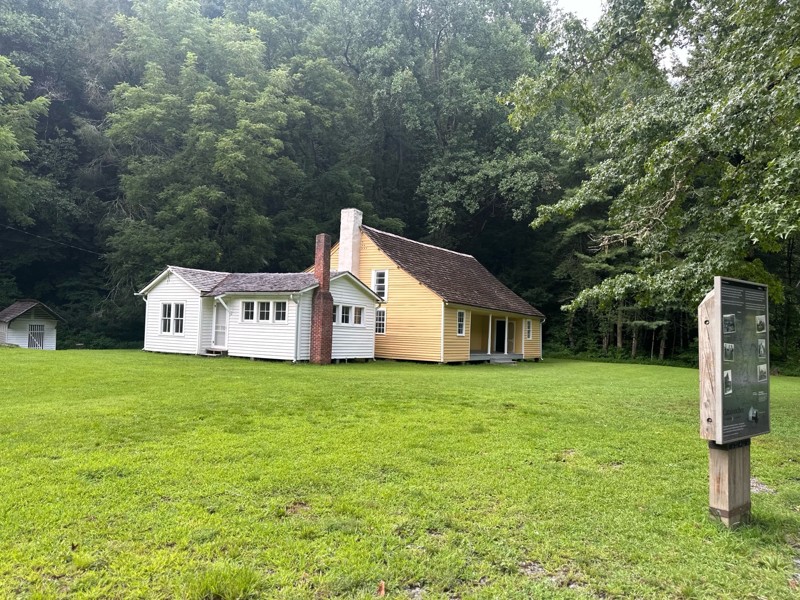
Gorgeous trail, we had so much fun. We ran it all the way down to the pioneer homes, and crossed a few bridges. There were some good fishing holes too. Easy to run with a stock setup.
LB
Lexi Brown
KC
Kim Conard
No Rating
Temporary Closure
Visited: 07/18/2026
Road was closed at the Paint Creek Campground end for road work. Campground is also closed.

Matt Chastine
Rated 4/5
Open
Visited: 06/19/2026
Very hard to fine camping due to the time of year I am guessing. No camp site left. We did fine a couple spots in a campground. I will not plan on this route for camping again.

Earl Neisler
Rated 5/5
Open
Visited: 06/19/2026
Rain the night before so the creek was up a little. Nice crossing.
Earl Neisler
Rated 1/5
Open
Visited: 06/19/2026
The only good thing about the trail is at the top the wife was able call home. So if you looking for call service. Other then that it a complete waste of time. Nothing but trees and a big beautiful c...
Earl Neisler
Rated 4/5
Open
Visited: 06/19/2026
This was a nice ride to connect to the next route. Nothing hard was rougher than most of the trails.
Earl Neisler
Rated 4/5
Open
Visited: 06/16/2026
Saw a bear, not as rugged as they made it out to be in November when they closed it before we could drive it.
CA
Christopher Anthony
Rated 4/5
Open
Visited: 06/16/2026
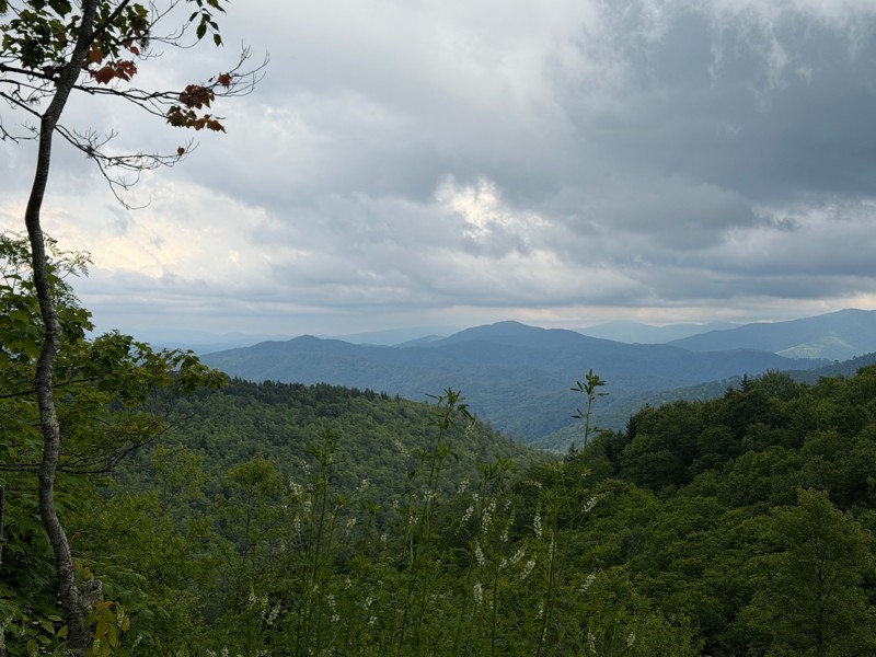
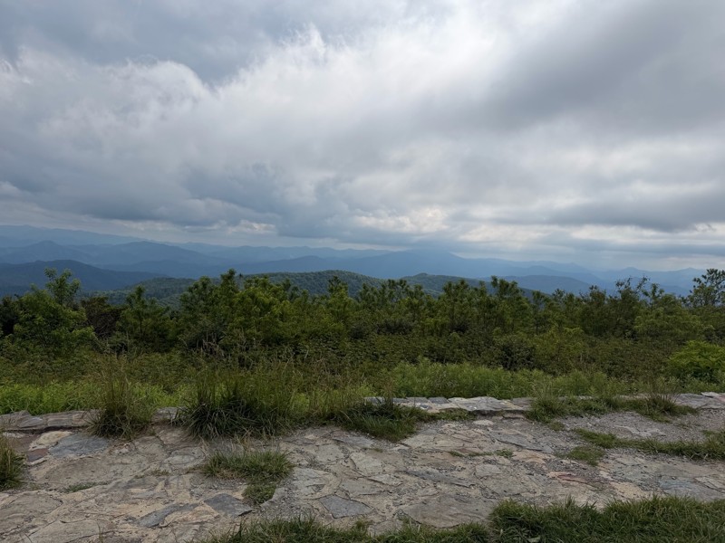
Easy gravel road with nice views. The beauty spot and Pleasant Garden had nice scenic views. We did this trail in a 24 stock JL.
KC
Kim Conard
Rated 5/5
Open
Visited: 05/14/2026
Great trail, everything they say about is spot on. We finished late in the day and took G50 back to the road and took 116 back to Oliver Springs then up to the campground.

Bob Justus
Rated 5/5
Open
Visited: 05/14/2026
Great little loop off G1 on your way over to Panther Rock. There are 2 large boulder gardens that take some trust in your ride. Mine is on 35's no lockers, 2 1/2 lift, I definitely used the rock rai...
Bob Justus
Rated 5/5
Open
Visited: 05/14/2026
Did this trail after lunch at the penitentiary (must do only a couple of miles from the end of 27). It was very rocky not obstacles just rocky and need to go slow. We took it up the mountain and swi...
Bob Justus
Rated 5/5
Open
Visited: 05/14/2026
Fun trail we did from G6. It was dry, so great grip, I could see if it was wet it would be a little more thrilling. Unless you are doing 26 this is a turn arround trail, except you can keep going a...
Bob Justus
Rated 5/5
Open
Visited: 05/14/2026
Nice forested trail, we took it after 22 on our way over to 27.
Bob Justus
Rated 5/5
Open
Visited: 05/14/2026
Nice trail, it was dry, so not very challenging, but a great first trail for my first time at Windrock running alone. I'd recommend doing this first.
Bob Justus
Rated 4/5
Open
Visited: 05/01/2026
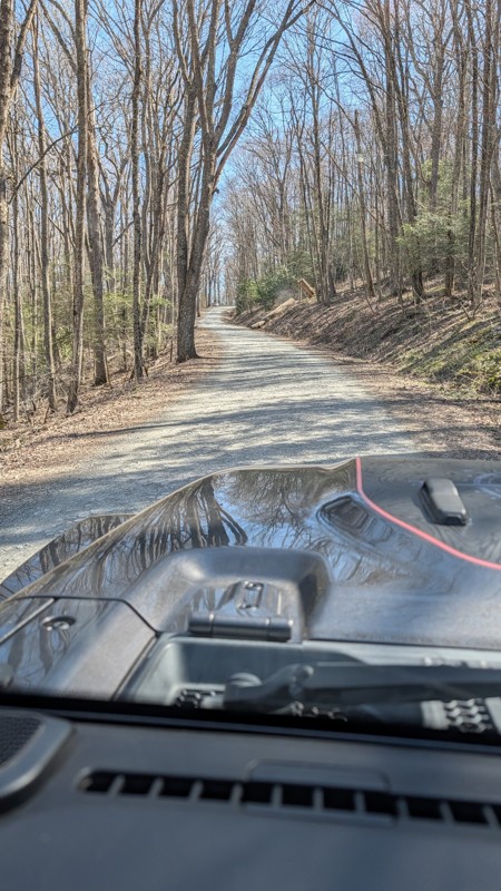
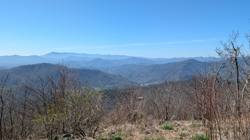
This is a stock friendly gravel road that offers some amazing views. The Beauty Spot and the Unaka Overlooks are must stop POI.

Aaron Bordeau
JA
Joe And Brandy
Rated 4/5
Open
Visited: 04/10/2026
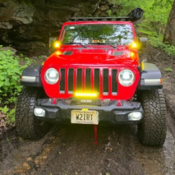
I ran this as a connector heading over to Panther Rock. It's a bit challenging and lives up to its blue "3" rating.
Peter Dougherty
Rated 4/5
Open
Visited: 04/10/2026
A rough blue-level trail. Some good views, but at over 8 miles long it got to be a slog after a while. I think a 2 is a bit underrated; I think a 3 would be more accurate. A good connector trail but n...
Peter Dougherty
Rated 5/5
Open
Visited: 04/10/2026
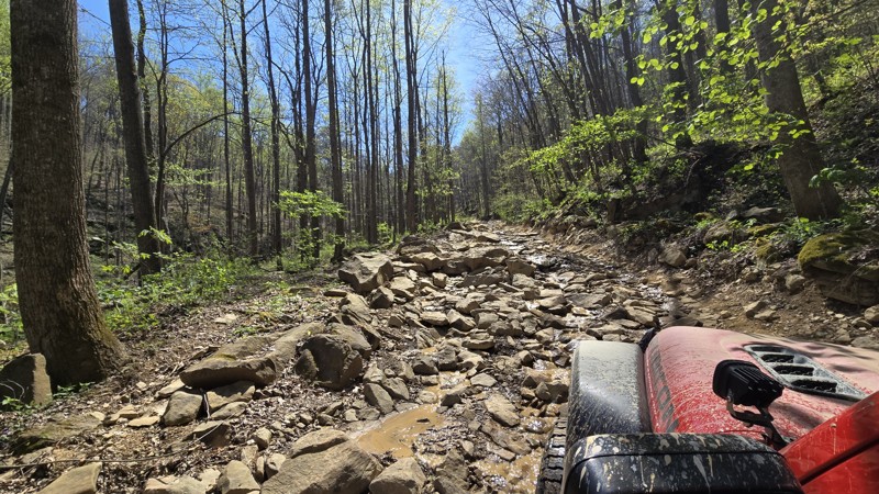
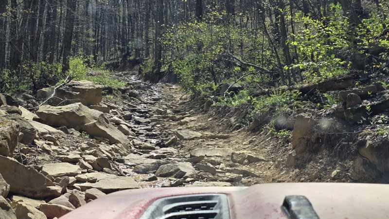
Strongly recommend running this trail in conjunction with Trail 27; go down 27 first then up 26. Trail 27 is a relatively easy and fun trail with a few obstacles, and the bottom half of 26 is about th...
Peter Dougherty
Rated 5/5
Open
Visited: 04/10/2026
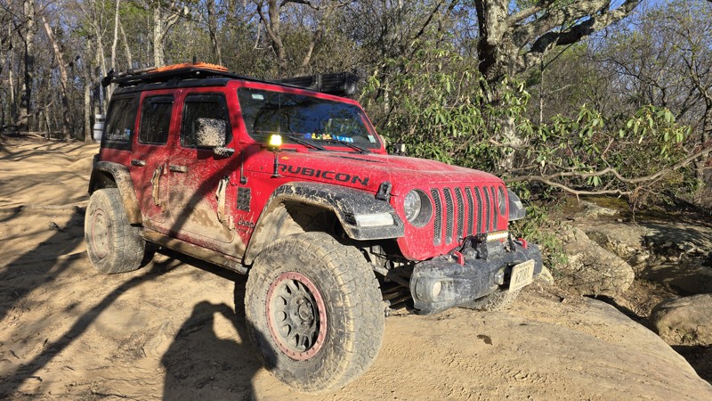
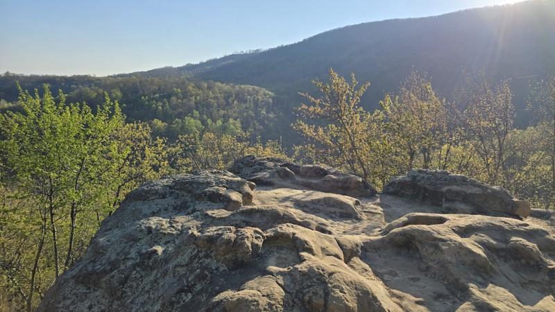
I ran this trail twice this week. Once, as I was running out of daylight, I ran it from the top and down to the overlook and back. The second time was the full trail from south to north since I had a ...
Peter Dougherty
No Rating
Temporary Closure
Visited: 02/21/2026
They have this rout closed with no date of reopen
JF
Justin Fowler
Rated 5/5
Temporary Closure
Visited: 12/23/2025
Trail ends and is closed at Old Cataloochee Entrance Road Bridge #2. Bridge has barricades on both sides and the entrance to the water crossing is blocked as well.
JH
Jonathan Hartley
Rated 4/5
Open
Visited: 12/21/2025
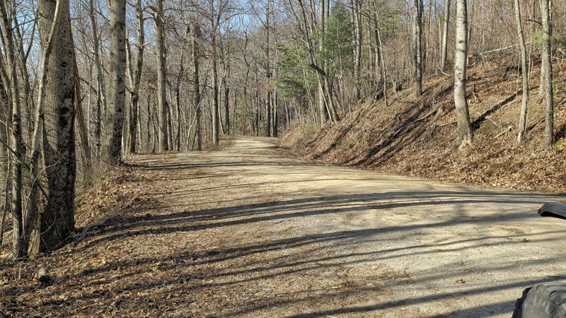
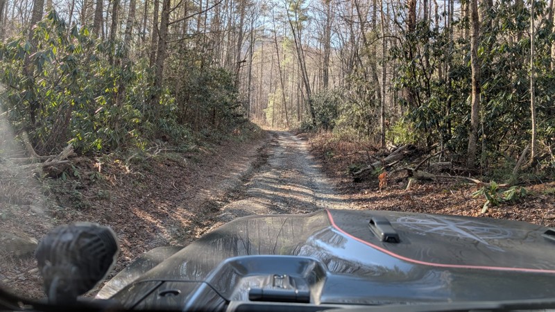
This is a nice scenic trail that offers great views. the trail is easy and we ran it in 2H the entire time. There are a few bumper spots but nothing difficult. We added in Forest RD at the west end...
Aaron Bordeau
No Rating
Seasonal Closure
Visited: 12/15/2025
According to this trails management agency, the trail is likely closed for the season.
You can reach out to the agency for more details.
Be sure to leave us a report and let us know ...
Trails Offroad
Official Crew
No Rating
Seasonal Closure
Visited: 12/15/2025
According to this trails management agency, the trail is likely closed for the season.
You can reach out to the agency for more details.
Be sure to leave us a report and let us know ...
Trails Offroad
Official Crew
No Rating
Seasonal Closure
Visited: 12/15/2025
According to this trails management agency, the trail is likely closed for the season.
You can reach out to the agency for more details.
Be sure to leave us a report and let us know ...
Trails Offroad
Official Crew
No Rating
Seasonal Closure
Visited: 12/15/2025
According to this trails management agency, the trail is likely closed for the season.
You can reach out to the agency for more details.
Be sure to leave us a report and let us know ...
Trails Offroad
Official Crew
Rated 5/5
Open
Visited: 11/22/2025
scenic and remote. best camp sights looked to be on the double camp road side, south leg of the route.
MS
michael smith
No Rating
Partially Open
Visited: 11/11/2025
Rough Creek crossing remains blocks as of 11/10/2025. In general the road north of Rough Creek is fairly rough due to ruts and small rock. Not technical, but not Honda Civic doable. No issue for hig...
RP
Randal Petty
No Rating
Seasonal Closure
Visited: 11/10/2025
According to this trails management agency, the trail is likely closed for the season.
You can reach out to the agency for more details.
Be sure to leave us a report and let us know ...
Trails Offroad
Official Crew
Rated 5/5
Open
Visited: 10/25/2025
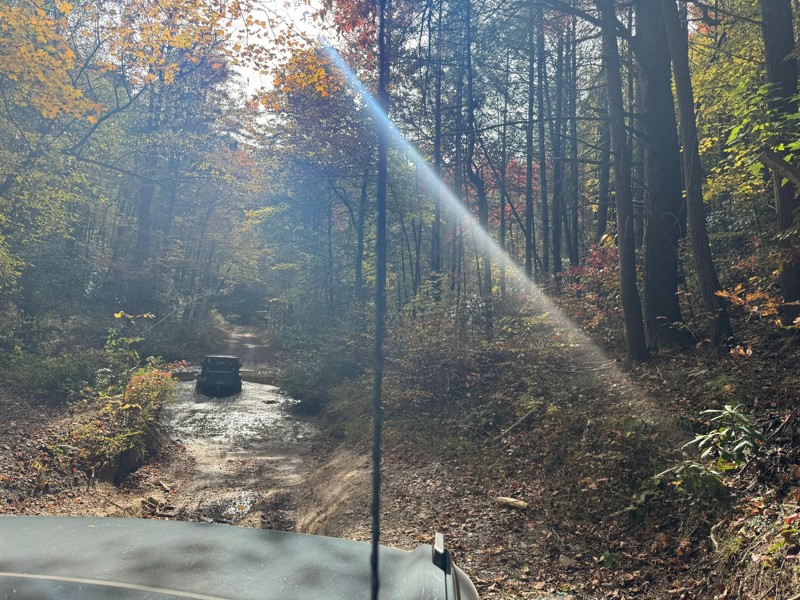
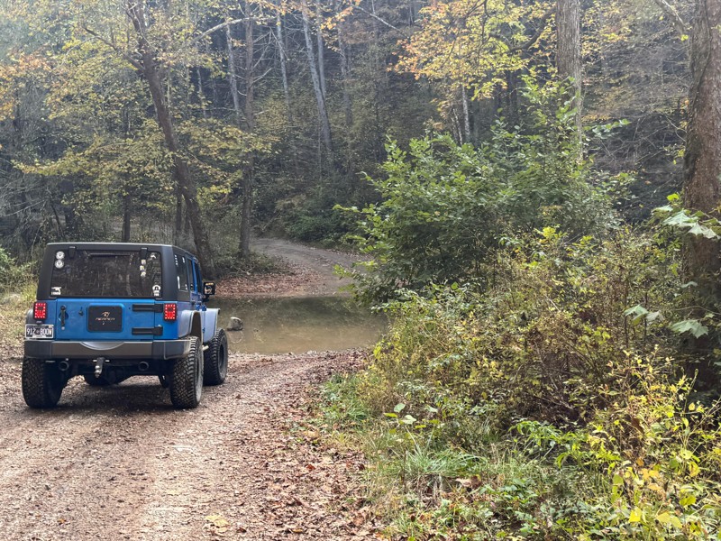
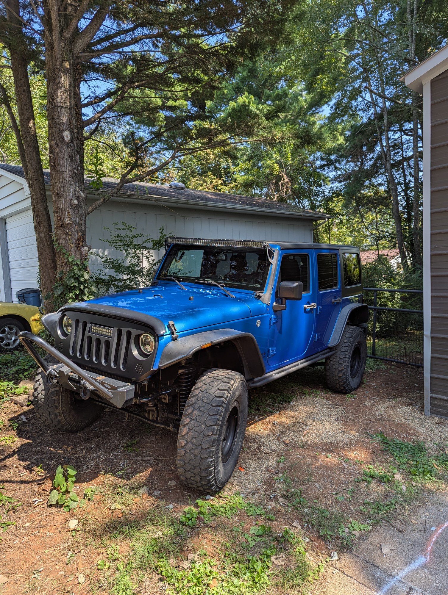
This was a fun trail to take my family out for an adventure in my Jeep. My sister came along in the stock bronco and had no issues whatsoever. I can see where some areas would be difficult if the wate...
Joseph Hollingworth
No Rating
Open
Visited: 10/09/2025
We rode Rich Mountain Road today as a family and loved it. The trail is a straight-through, one-way drive that starts from Cades Cove in the Great Smoky Mountains National Park. I stayed in 2WD the en...
DE
Drew Ezell
Rated 5/5
Open
Visited: 09/25/2025
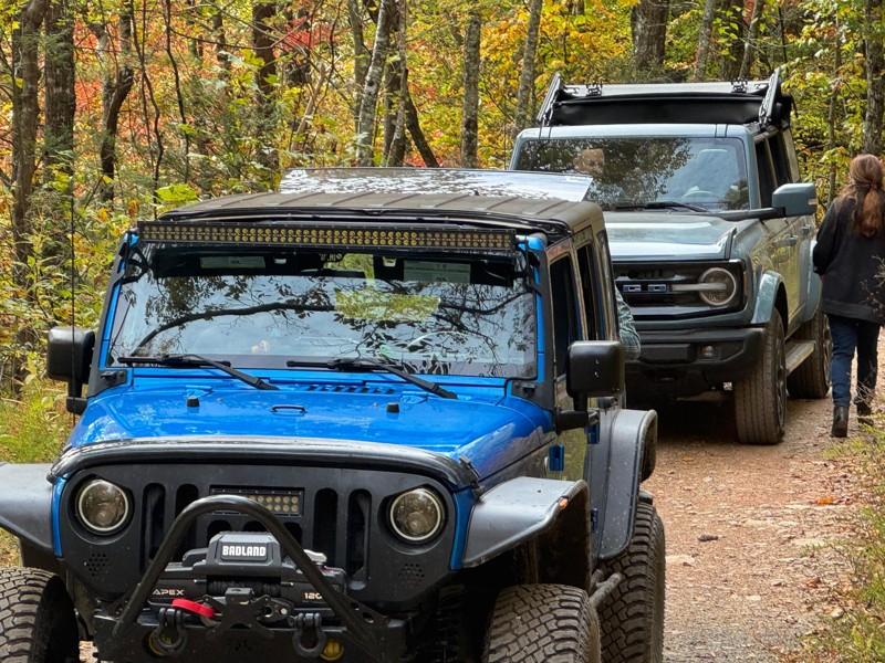
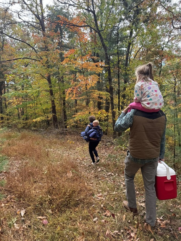
Great Forrest road to get some amazing views. The trees were in full Fall mode and beautiful! There were several campground areas off the trail that looked nice for single family use. The trail was pr...
Joseph Hollingworth
KC
Kim Conard
Rated 5/5
Open
Visited: 09/19/2025
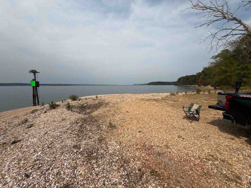
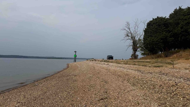
The trail was completely dry so the trail was not much of a challenge. When the ground is wet, it would be a different story given multiple holes and run off areas. There are some deep ruts and off ca...

Shayne Danielson
Official Crew
Rated 5/5
Open
Visited: 09/05/2025
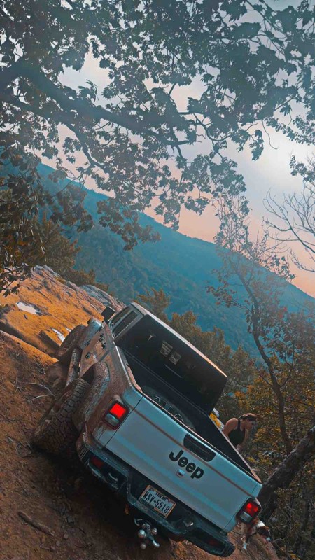
Freaking awesome freaked the fiancé out few times but worth every second of it!
DD
Dally Daniel
No Rating
Open
Visited: 08/25/2025
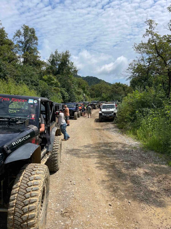
Logging on 26 has increased the mud areas and it’s more like a mud soup that’s a couple of feet deep for a long stretch.
S
Steve
Rated 4/5
Open
Visited: 08/23/2025
This trail was way more difficult then the video and the rating portayed. very large rocks and steep obstacles causing you to go way off camber. We were in a well built gladiator and made it through b...
PP
Paul Peterson
No Rating
Open
Visited: 08/23/2025
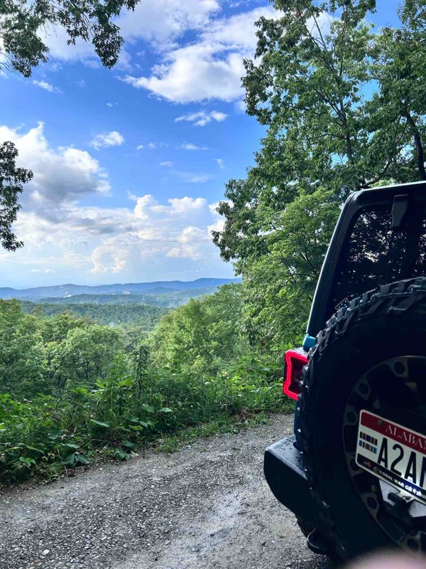
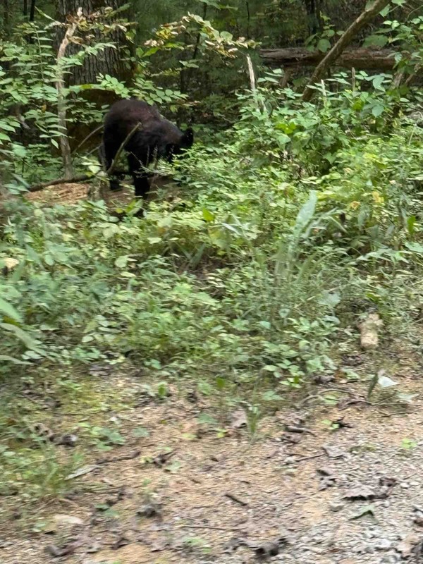
No traffic made for very pleasant peaceful ride with maximum altitude of 2600ft.
JW
Jason Winekoff
Rated 5/5
Open
Visited: 08/03/2025
Trail is open. Repairs are being made in the area. Watch out for large dump trucks hauling in gravel and work crews. Best to experience on the weekend when the crews are not working. Due to mud holes,...
LA
Lori Armstrong
Rated 4/5
Open
Visited: 07/05/2025
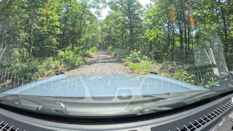
Trail looks to have been groomed with fresh gravel. There was really nothing technical to it.

Rick
Rated 5/5
Partially Open
Visited: 07/04/2025
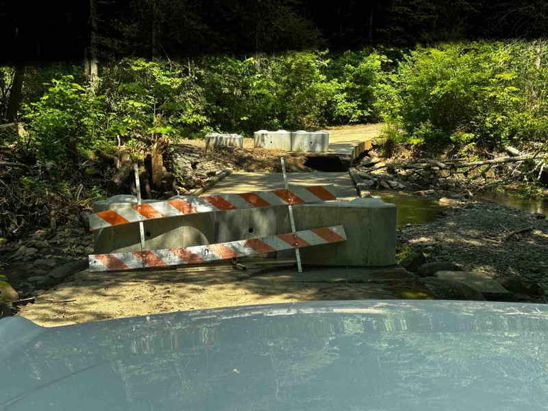
Rough Creek bridge is impassable and blockaded. There currently is no bypass in the area of the bridge.
Rick
Most Popular


Updated: 07/09/2024
Windrock 51: Panther Rock
Open
/
Oliver Springs, Tennessee/
2.43 miles/
About an hour
Located in the northeast part of Windrock Park, Trail 51 takes you to a breathtaking overlook named Panther Rock. This namesake rock feature overlooking the surrounding mountains and Three Forks Hollow is the perfect offroad trail for a lunch picnic or a romantic dinner at sunset. Whether you visit for the views or the Jeep Badge of Honor designation, Panther Rock is a "must-do" Tennessee offroad trail.

Updated: 07/08/2024
Windrock 26
Open
/
Oliver Springs, Tennessee/
2.26 miles/
About an hour
Located on the far west end of Windrock Park, Windrock 26 is a rocky and bouldery trek up the scenic Bletchers Creek. With close proximity to Brushy Mountain State Penitentiary, this trail cries out to the adventurous driver seeking heart-pounding thrills. Whether attempting to check off your Jeep Badge of Honor or just hoping to further your offroad skills, Windrock 26 is a must-do trail.

Updated: 02/05/2025
Windrock 16
Open
/
Oliver Springs, Tennessee/
5.6 miles/
About 3 hours
Windrock 16 is one of Windrock's longest trails and is a continuous onslaught of varying obstacles that will test your driving abilities, your nerves, and your group's attrition. This punishing trail offers deep off-camber trenches, big rocks, and slippery hill climbs that await those with the courage to take on a lengthy adventure. This trail rewards the battle-weary with a spectacular waterfall and scenic views to top off an adrenaline-filled trail ride.

Updated: 06/15/2024
Windrock 22
Open
/
Oliver Springs, Tennessee/
5.66 miles/
About 2 hours
Located within Windrock Park, Windrock 22 is one of the first trails you will encounter as you leave the parking area. This is a great trail to get your feet wet right away and tackle a variety of obstacles, including steep climbs, creek crossings, mud holes, rock climbs, and boulder fields. If you want to skip the boring greens and start your day right away with great 4-wheel action, don't blink, or you might drive right by this gem.


Updated: 08/03/2026
Old Cataloochee Turnpike
Hartford, Tennessee
The Old Cataloochee Turnpike was originally a footpath used by the Cherokee Native Americans and spanned from the Cove Creek area to Cosby, Tennessee. When European settlers came in, the footpath became the first wagon road in Tennessee in the early 1860s. Today it traverses the northeastern edge of the Great Smoky Mountain National Park. The road passes through a dense forest with beautifully bridged river crossings, waterfalls, and hundreds of blind turns. There is no dispersed camping due to being in a national park. The road does have a gate, which the Park Service shuts during snow and ice conditions.
This route includes only dirt and a portion of Mt. Sterling Road in the north. Connect this with either Buzzard Roost or Old Buzzard Roost for a great day of driving backroads into the National Park.

Updated: 07/06/2024
Windrock G1
Open
/
Oliver Springs, Tennessee/
8.75 miles/
About 2 hours
Winding its way along the southern ridge of Windrock Mountain, G1 is the perfect access road to allow you to choose your adventure. With numerous options, drivers can keep to a 2WD adventure or take one of the many, much more challenging trails in Windrock Park or anything in between. A few vantage points break through the trees occasionally, allowing you to enjoy the expansive views of the countless ridges and valleys that make up this part of Tennessee. Whether you use G1 for access or adventure, this will be a great addition to any itinerary.

Updated: 06/05/2022
Tharpe Road
Dover, Tennessee
Located near the border of Kentucky and Tennessee in the Land Between the Lakes Recreation area, Tharpe Road is a primary access road connecting Woodland Trace Road to the western shoreline and forest roads. The trail cuts across the forest passing by a few old cemeteries along the way. The trail isn’t challenging but can be a nice way to get away from the high-speed traffic on the main roads.
Land Between the Lakes is a 40-mile long peninsula that offers hiking trails, horse trails, 300 miles of undeveloped shoreline, mountain biking, 400+ miles of scenic roads, and 1400 campsites, including camping within Turkey Bay OHV park. If you’re one of the 1.5 million people who visit the LBL every year, make Tharpe Road a part of your day.
Updated: 11/14/2025
Peavine Sheed Creek Road
Willis Springs, Tennessee
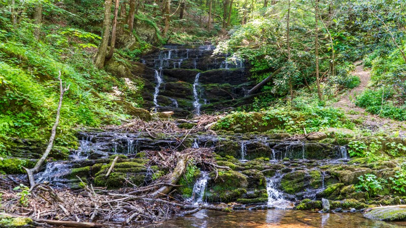
One wouldn't think that only 27 miles in the same forest would warrant much of a chance of scenery, but this trail is a rarity. The beginning along the Conasauga River is lush green with Beech and Maple trees towering over the Flame Azaleas and Chinese Bush Clovers. As you begin to climb, Eastern White Pine start to take over with the floor opening up. Just like that, you enter into a forest of Rhododendrons with no view in either direction. Along the eastern side toward Chestnut Ridge, large vines swing from tree to tree, giving the feel of being in a true rainforest. Throughout its entirety, you will find incredible camping opportunities as well. Not enough can be said for trail that will take you by surprise.

Updated: 06/05/2022
15 - The Gatekeeper
Oliver Springs, Tennessee
Located in the heart of the 73,000 acre Windrock Park, this daunting double black diamond trail is not for the faint of heart... We try to put a waypoint at obstacles, but if we did that on this trail, the entire trail would be waypoints. With obstacle after obstacle, if you can make it through "The Gatekeeper", you should be ready to tackle the rest of Windrock Park.
Let us put it to you this way, the trail footage you see of "The Gatekeeper", if there wasn't a vehicle in it, it's because we walked it to try and show you what to prepare for... And we were definitely out of breath by the top... Get ready for a heart-pounding hard trail if you attempt this one. You're gonna need a spotter; but you CAN conquer the "Gate Keeper"... if you're prepared.

Updated: 06/29/2026
Citico Creek Road
Ballplay, Tennessee
Citico Creek Road is a well-maintained gravel road that follows along the beautiful crystal-clear waters of Citico Creek through the heavily wooded Cherokee National Forest. There are multiple designated primitive campsites and a couple of established campgrounds along this road.

Updated: 07/18/2024
Windrock G50
Open
/
Oliver Springs, Tennessee/
3.24 miles/
About an hour
Running along the southeastern ridge of Redoak Mountain, G50 is a mild 4WD trail providing access to the eastern side of Windrock Park and trails such as Windrock 89 and the famous Jeep Badge of Honor trail Panther Rock. G50 also offers impressive views over Walden Ridge, Pine Ridge, and Dutch Valley, among many other hills and valleys in the distance. Whether you are running G50 as access or for pleasure, stop at the viewpoint and enjoy the greenery that Tennessee is known for.

Updated: 06/18/2026
Unaka Mountain Road
Whitson, Tennessee
Unaka Mountain Road is a through route that rides along the Tennessee/North Carolina border along Unaka Mountain. This mountain ridge road offers outstanding views. There is one amazing lookout with plenty enough room to camp.

Updated: 06/14/2023
Windrock 2 and G10
Oliver Springs, Tennessee
Windrock Park is full of trails for all skill levels. Trails 2 and 10 make for a good intro into moderate trails, with all obstacles providing opportunities for the beginner driver to gain experience. Winding down from Windrock Mountain to Horseshoe Ridge, users only glimpse a tiny bit of what Windrock Park offers. Once the journey is complete, it is simple to return to the park and continue on an epic adventure.

Updated: 02/03/2026
Cold Springs Creek
Joe, Tennessee
Cold Springs Road is your quick access from I-40 and the Harmon Den Area into the Cherokee National Forest. It is a main connector road that gives access to several other trails and routes. It runs almost entirely along the beautiful Cold Springs Creek and is plentiful for dispersed camping locations. It is suitable for any vehicle.

Updated: 06/29/2026
Rich Mountain Road
Top of the World, Tennessee
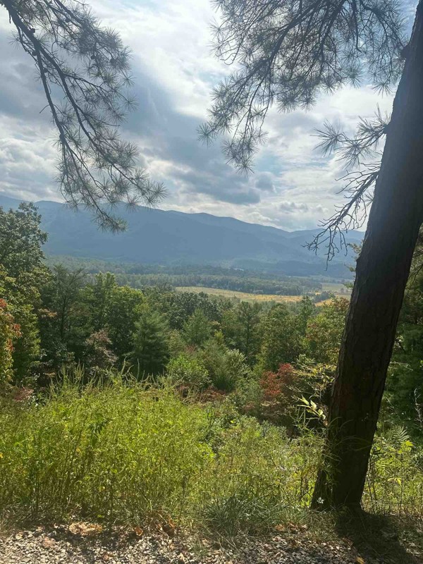
This is a straight-through, one-way trail near Townsend, Tennessee. To get to this trail, you must enter the Great Smoky Mountain National Park and take the Cades Cove Loop Road. Vehicle access to this trail is closed on Wednesdays. This trail is a gentle drive through the mountain forest with very nice overlooks that can be traversed by any 2WD vehicle.

Updated: 08/11/2026
Conasauga Creek
Coker Creek, Tennessee
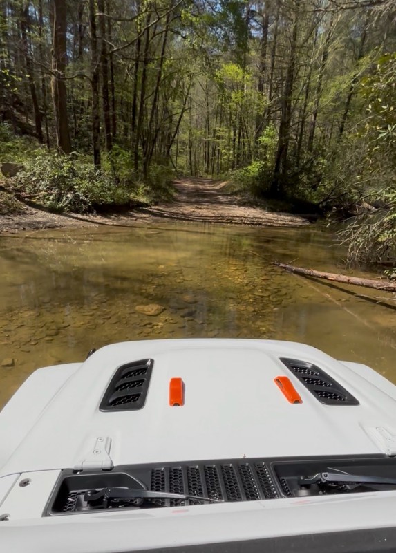
Conasauga Creek is a beautiful drive along and through the stream just south of Tellico Plains. Set in the dense woodlands of the Cherokee National Forest, the trail runs from near Watertrough Hollow to Epperson crossing just below Bakers Grave Mountain. The trail has multiple water crossings. Keep a lookout for the waterfalls. There aren't any campsites along this route.

Updated: 06/14/2023
Windrock 89 and G66
Oliver Springs, Tennessee
Windrock Park is full of trails from easy to difficult to please any user. Trail 89 and G66 make for a relatively easy way to exit the park, with a few minor obstacles to keep your attention. The canopy of trees breaks occasionally, giving you glimpses of the sky while you wind your way down the lush forested mountainside that is Windrock Mountain.

Updated: 12/02/2025
Doublecamp-Jake Best
Ballplay, Tennessee
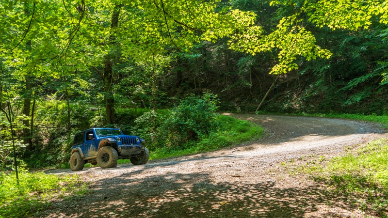
Set in the heavily wooded Cherokee National Forest, Doublecamp-Jake Best road winds through the deep hollow of Doublecamp Creek until you reach the ridge along Salt Spring Mountain. It then descends back down along Jake Best Creek. The trail begins and ends on Citico Creek Road. There are multiple dispersed camping sites along this route.
Updated: 07/07/2025
Big Frog
Alaculsy, Tennessee
Leading into the Big Frog Wilderness of the Cherokee National Forest, Big Frog Road is an unmaintained trail guiding users in over 1,000 feet of elevation gain nearly to the top of Chestnut Mountain. This is a great trail to access many hiking opportunities that are offered in the area, including the impressive Hemp Top Trail with a 2,000-foot elevation gain to the top of Big Frog Mountain at over 4,000 feet! Although nothing technically difficult, it is worth noting that there are scattered rocky patches requiring drivers' attention. There are a few quaint camping options along this trail as well, and you will likely encounter fewer people than the more popular trails nearby.

Updated: 06/29/2026
Bald River Road
Tellico Beach, Tennessee
Bald River Road is an easily traveled gravel road in the Cherokee National Forest that heads west from the Tellico River. Crossing Basin Gap, you can turn left onto Waucheesi Mountain Road to an amazing viewpoint. Continuing west over the gap will take you to the Sixmile Creek area. The only camping available on this road is the Holly Flats Campground.

Updated: 10/15/2024
Hall Top Spur
Hartford, Tennessee
Hall Top Spur is a main thru road for the area. It is well-maintained and has a good amount of incline/decline, but any vehicle can drive this road without issue. Incidentally, the family name "Hall" dates back to the area in the 1700s. There are no camping opportunities on this road.

Updated: 09/10/2026
Windrock G39
Oliver Springs, Tennessee
Windrock G39 is a 5-mile, straight-through road that connects G2 and G6, looping around a few extreme trails such as Rail Trail and Cadillac Hill. You can run the trail in either direction. From east to west, the trail is mostly an easy and casual drive through the forest, passing cliffs, small waterfalls, and an old, dilapidated shack. The last 0.75 miles on the west side is the only moderate part of the trail. This section has a moderate downhill descent with significant ruts and water runoff. This part of the trail would be more difficult if running it west to east, in the uphill direction. This trail is suitable for any stock high-clearance vehicle with low gearing.

Updated: 06/29/2026
Waucheesi Mountain
Coker Creek, Tennessee
Waucheesi Mountain Road is an out-and-back route in the Cherokee National Forest that climbs to an open mountaintop meadow with an incredible 360-degree view of the surrounding mountains. There are dispersed campsites along the trail, but the weather conditions can drastically differ at the top and bottom of the mountain. Choose wisely.

Updated: 10/15/2024
Hall Top
Bat Harbor, Tennessee
Fire towers in the area were typically built in the early 1930s to mid-1930s, and many of them no longer exist. Still existing, however, is the Hall Top Fire Tower. However, you would risk your well-being by trying to take the dilapidated stairs to the top. The road leading up is uneventful, with a few rocky sections. Turning the corner to the tower, you are more inclined to see the modern-day cell array before you get your eyes on the tower. From the base of the tower, there are no views. There's no camping along the road.

Upgrade your Membership
Unlock all of the details on every Trail Guide and Scout Route.
Start a 7-day Free TrialBrowse Trails in Tennessee by City
Browse every Tennessee city with offroad trail guides.
Community
Partners

