


By clicking "ACCEPT", you agree to be the terms and conditions of each policy linked to above. You also agree to the storing of cookies on your device to facilitate the operation and functionality of our site, enhance and customize your user experience, and to analyze how our site is used.
Montana Off-Road Trails
42
Total Trail Guides 35

575
Detailed Waypoints 64
Try a Free 7-Day Trial and unlock it all
Start a Free Trial Most Recent Trail Reviews
Rated 3/5
Open
Visited: 09/13/2026
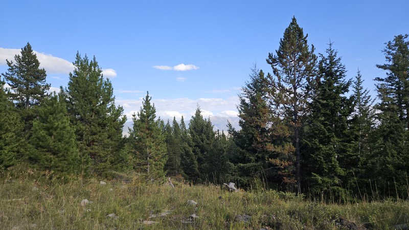
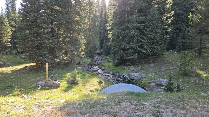
Despite the windy day, no downed trees across this trail. Some evidence that a few came down in the last couple weeks and someone cleared them, but overall the trail was in great condition. No changes...


Cory Wooldridge
Official Crew
Rated 3/5
Open
Visited: 09/13/2026
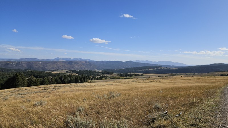
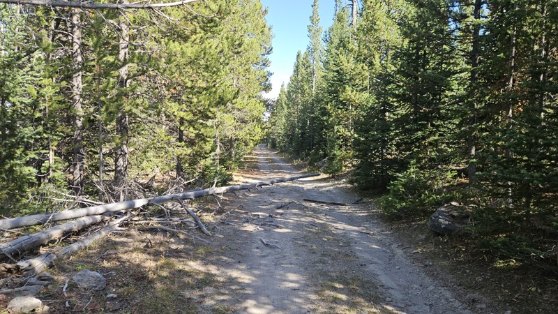
Pretty day, but very windy. Trees downed across the road, with evidence that many previous people had also cut some recently fallen ones. One tree looks like it's ready to come down, and there's a lot...
Cory Wooldridge
Official Crew
Rated 3/5
Open
Visited: 09/13/2026
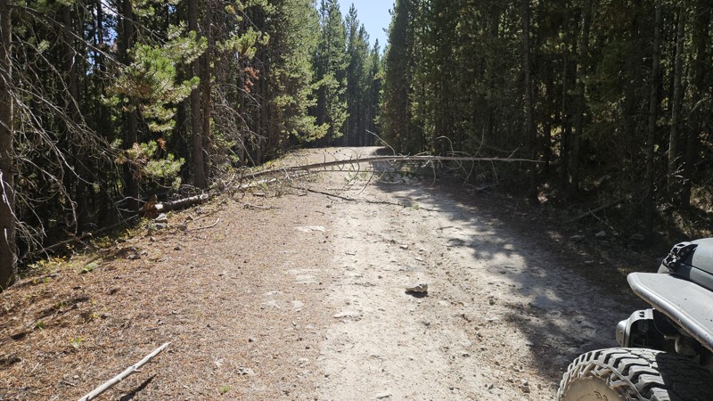
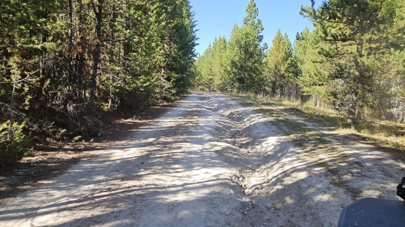
Pretty day, but very windy — quite a few downed trees across the road, one of which we had to cut. Evidence of several others that people had cut very recently. Maybe a few new ruts, but overall still...
Cory Wooldridge
Official Crew
Rated 4/5
Open
Visited: 09/12/2026
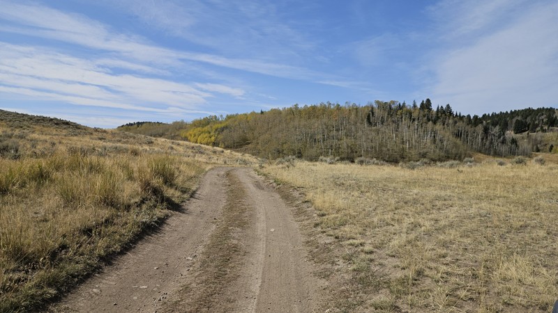
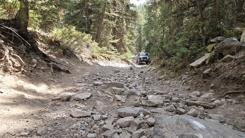
Several previous reviews have noted the stretch between waypoints 6 and 7 as more rocky and exposed, and it is — a longer section of exposed rock, with downed trees adding to the difficulty. I'll upda...
Cory Wooldridge
Official Crew
Rated 3/5
Open
Visited: 09/12/2026
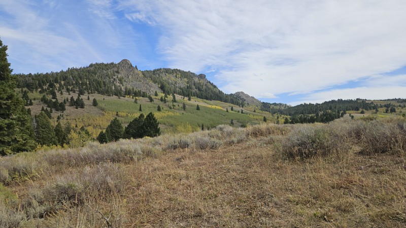
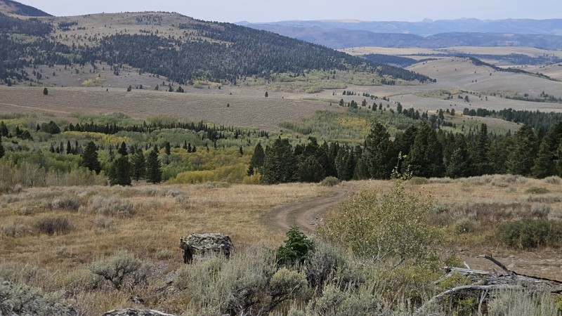
Fall colors along this trail are absolutely beautiful. A couple of groups came through, all out exploring the same thing. One stopped us to say they'd seen a deer standing in the middle of the road do...
Cory Wooldridge
Official Crew
Rated 3/5
Open
Visited: 09/12/2026
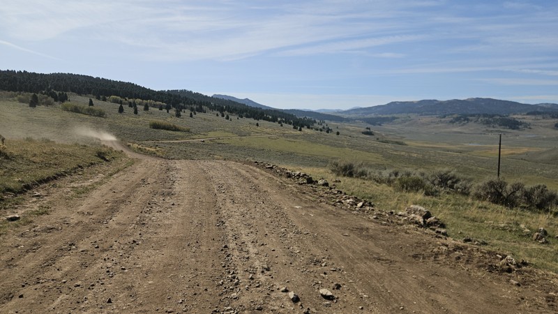
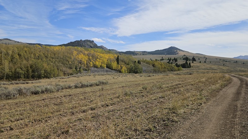
From Highway 87 to the private drive at the lake, the road has been improved significantly with new culverts and fresh road base. Beyond that it's still a two-track — bumpy but passable in stock SUVs....
Cory Wooldridge
Official Crew
No Rating
Open
Visited: 09/12/2026
Great easy trail, setup camp on the overlook of the mountains. Was very quiet and minimal wind. If you come during hunting season spots fill up fast!
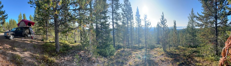
JR
Justin Ribbens
Rated 4/5
Open
Visited: 09/07/2026
Spent several hours on the lake, playing around the shoreline at Lonesomehurst campground and the day use area — a neat spot we hadn't ventured to yet. Spotted a moose running across the road as we he...
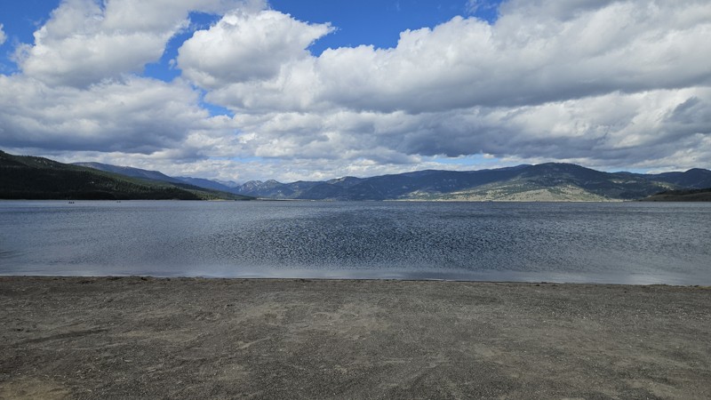
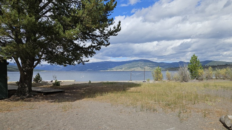
Cory Wooldridge
Official Crew
Rated 4/5
Open
Visited: 09/07/2026
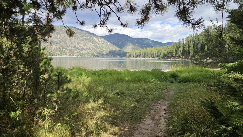
Pretty day for this time of year — no bugs. Lots of dead and downed trees, so bring a saw if you're camping; plenty of firewood. Grass is green with some lingering wildflowers despite fall. No changes...
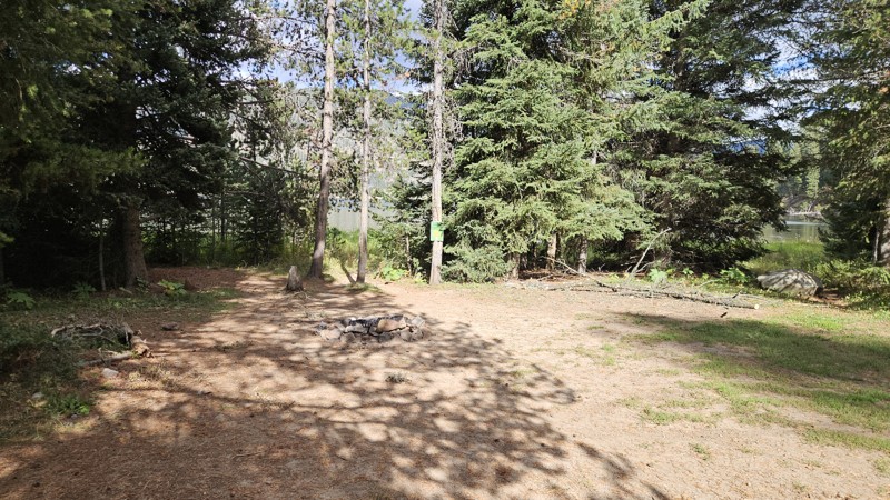
Cory Wooldridge
Official Crew
Rated 3/5
Partially Open
Visited: 09/07/2026
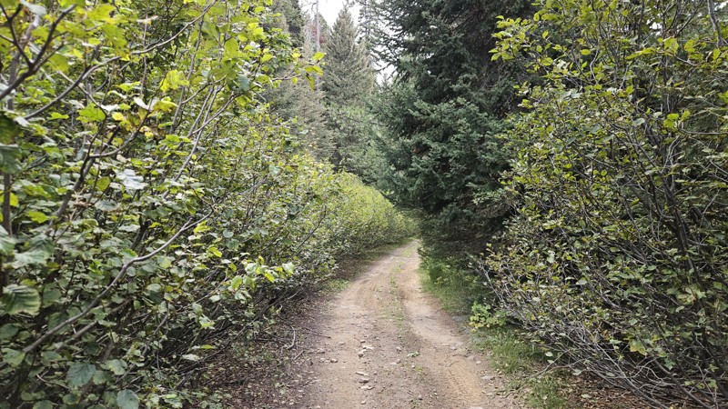
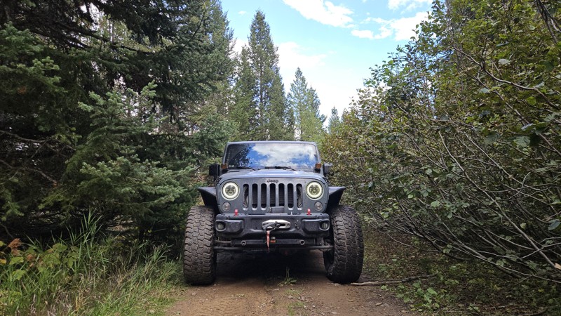
Turned around halfway between waypoints 10 and 11, where the vegetation clearing stopped years ago and the dense overgrowth continues to take over the road. We walked a short way in but decided not to...
Cory Wooldridge
Official Crew
Rated 4/5
Open
Visited: 09/05/2026
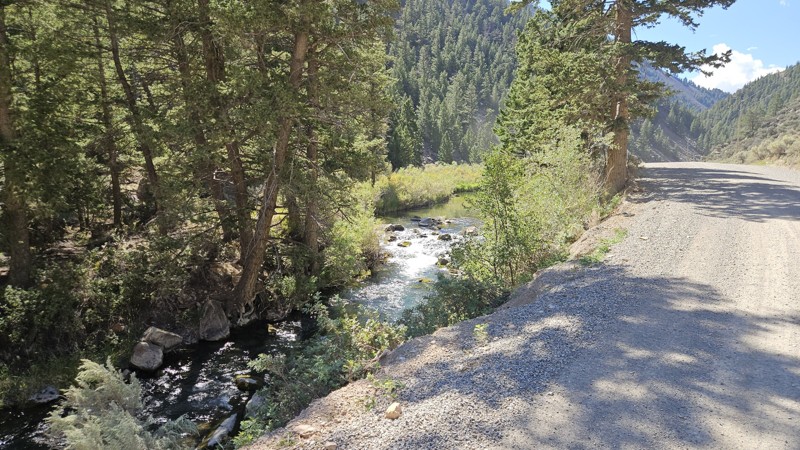
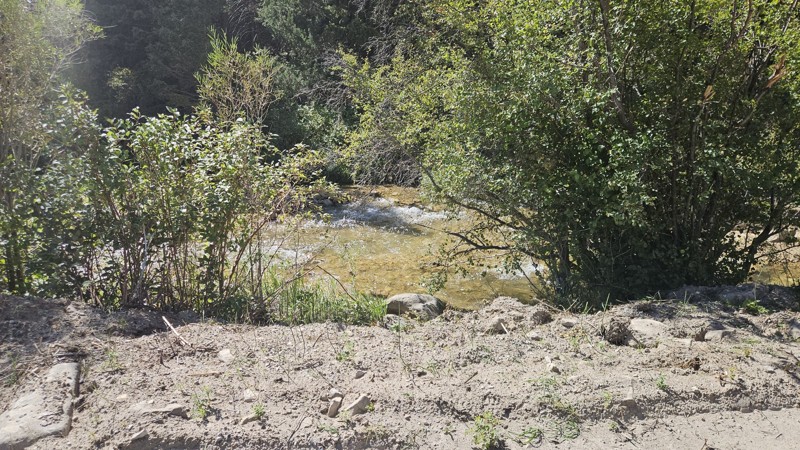
A bit more traffic than we're used to when we come out here, but still quiet compared to home. Spots of this road have been improved as the washboard is milder than years past on the eastern half. I t...
Cory Wooldridge
Official Crew
Rated 4/5
Open
Visited: 09/05/2026
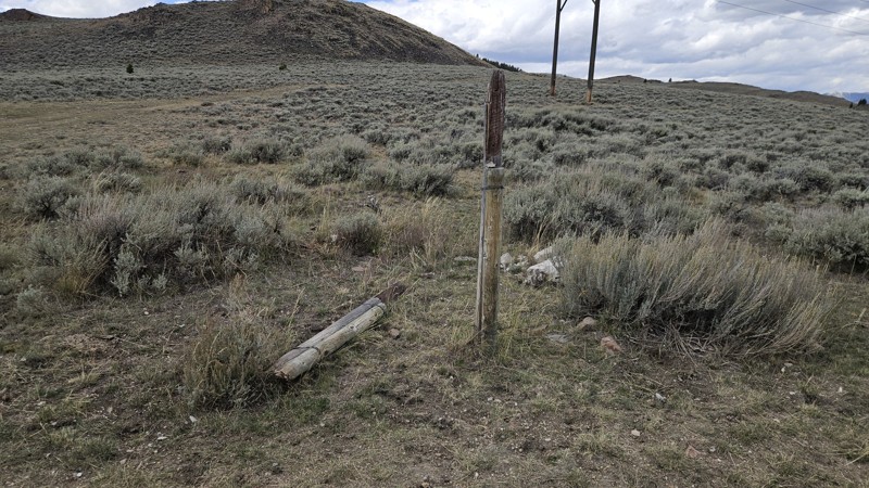
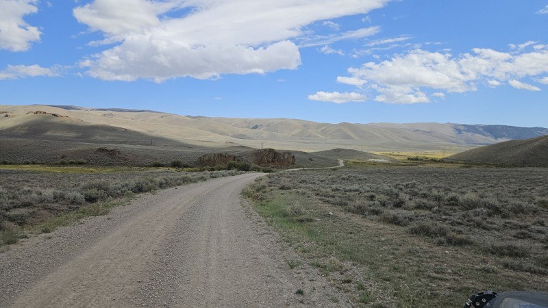
Today was busier than we're used to. Being the start of hunting season, there is a bit more traffic, and we happen to meet at and near blind turns without warning. No incidents or close calls, but a w...
Cory Wooldridge
Official Crew
Rated 4/5
Open
Visited: 09/05/2026
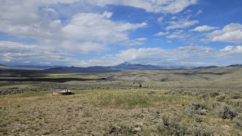
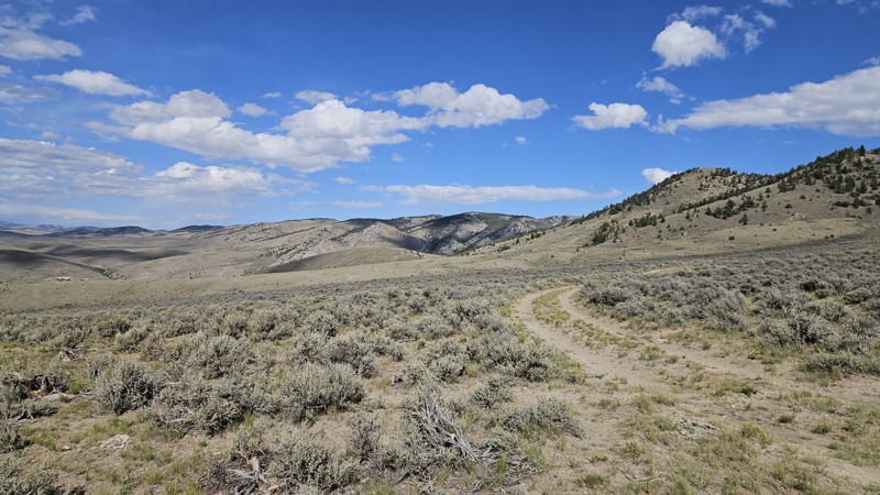
No noteworthy changes to the trail,. Late August and early September are our favorite times to make the trip out here. The temps were perfect, no bugs, thunderstorms rolling across the sky in the dis...
Cory Wooldridge
Official Crew
Rated 5/5
Open
Visited: 09/05/2026
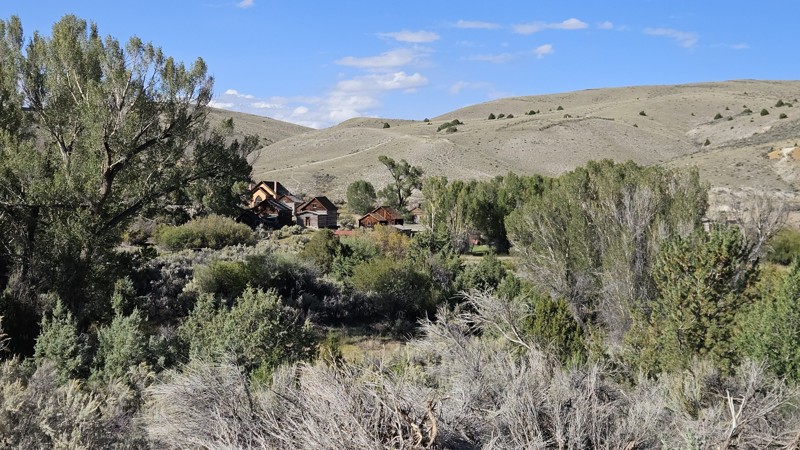
The feel of fall is in the air, the colors are beginning to show, and this weekend was busy. People swimming in the creek and pleasant temps, no changes to the trail to mention.
Cory Wooldridge
Official Crew
Rated 4/5
Open
Visited: 09/04/2026
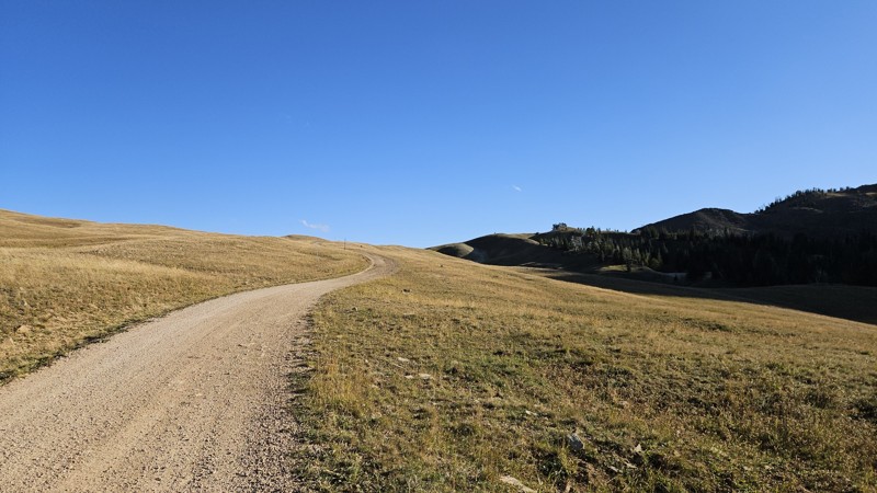
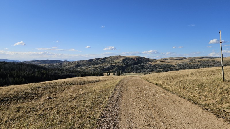
We ran this trail from Eureka Basin to Standard Creek today, no changes to this section of the trail to note. Hunting season is upon us, and all the campsites were taken.
Cory Wooldridge
Official Crew
Rated 3/5
Open
Visited: 09/04/2026
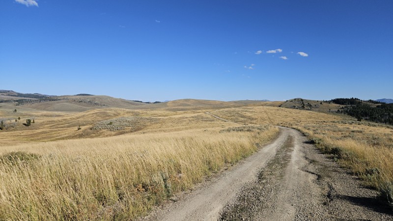
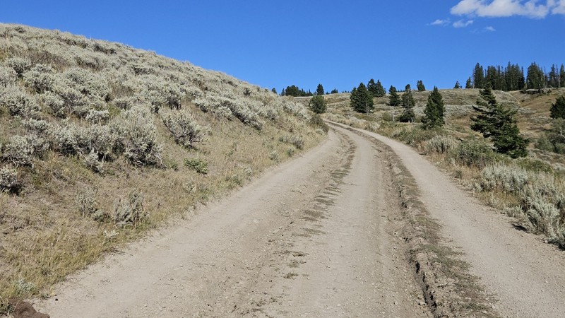
The trail is rougher than I've seen in the past several years, yet not enough to require a ratings update. There are a lot of fist sized loose rocks and ruts forming from runoff, but still easy.
I wa...
Cory Wooldridge
Official Crew
Rated 4/5
Open
Visited: 09/04/2026
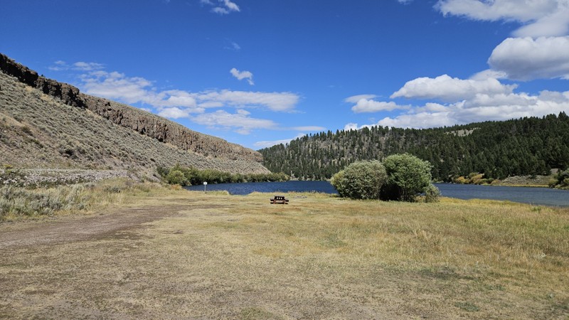
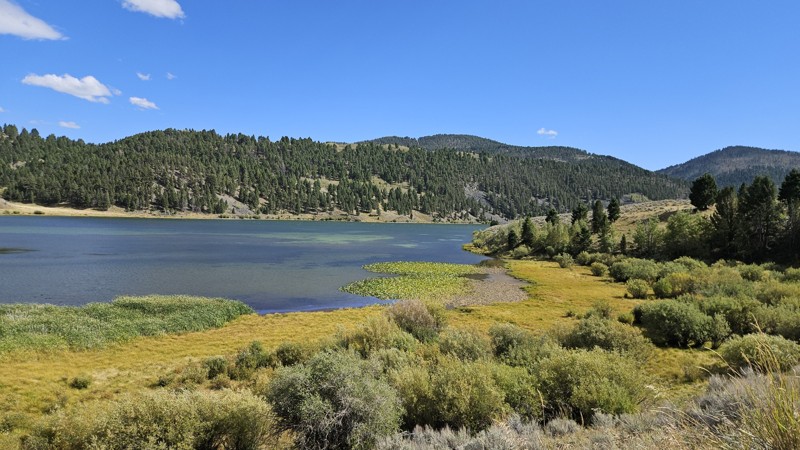
Surprisingly for the start of hunting season, there was only one person camping at the top of the big hill. The sites at Elk Lake and Hidden Lake were all open. We hung out at Elk Lake for quite awhi...
Cory Wooldridge
Official Crew
Rated 4/5
Open
Visited: 08/30/2026
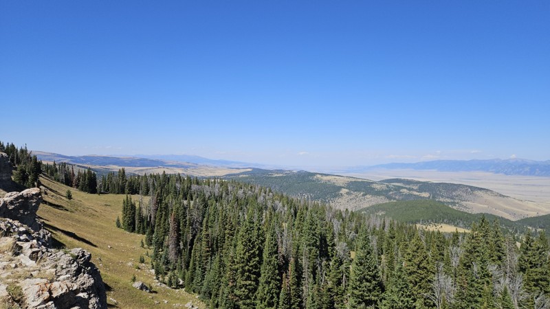
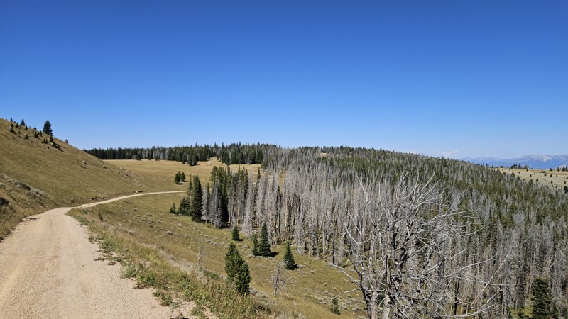
Today we made the loop from Ennis, through VC and Alder, down Centennial and up Warm Springs, Gravely, and down Johnny Ridge to the 287. No noteworthy changes to the trail. The weather was nice, wind...
Cory Wooldridge
Official Crew
Rated 4/5
Open
Visited: 08/30/2026
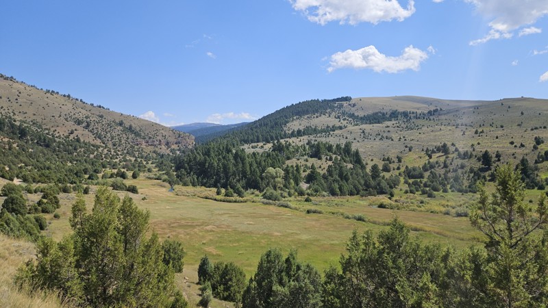
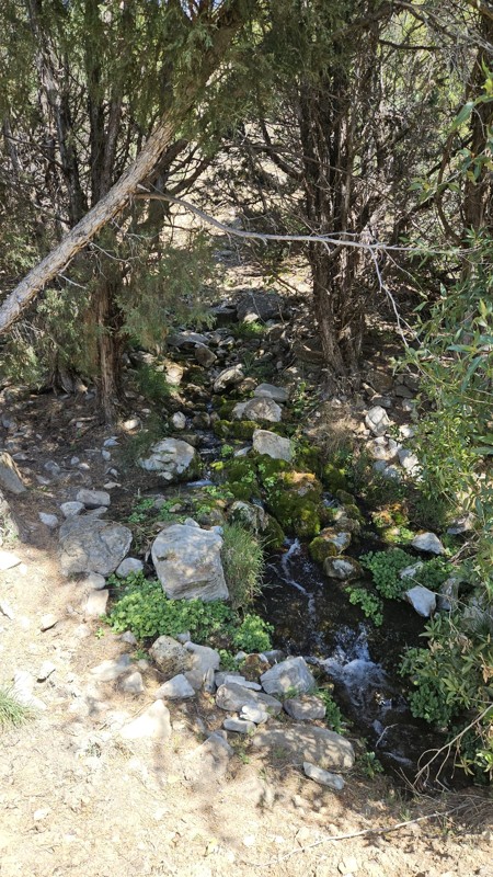
In terms of my favorite landscapes to be in, this trail feels like home. The Juniper mixed with short pines, rocky outcroppings and creek running over boulders, lush green grass, small spring trickli...
Cory Wooldridge
Official Crew

Rose Meirs
Official Crew
Rated 3/5
Open
Visited: 08/23/2026
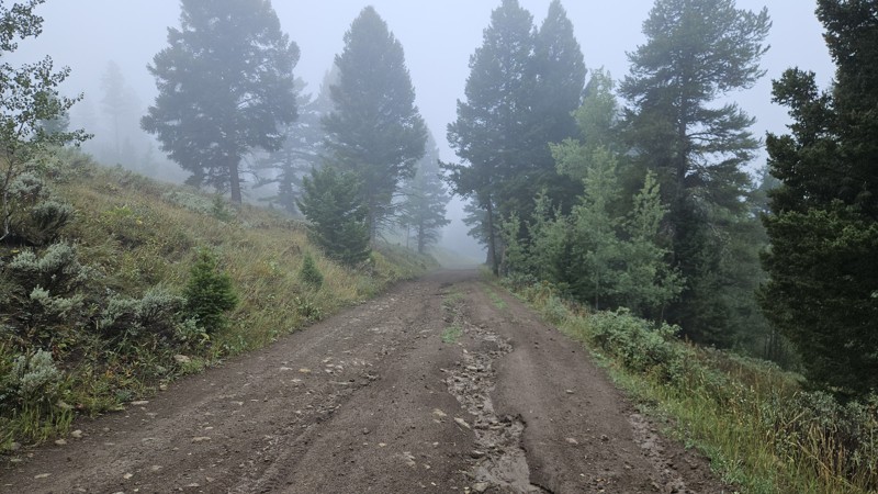
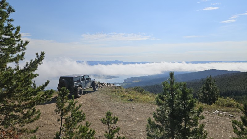
We added the obstacle at waypoint 5 after recent rains left the hill slick with loose mud, which pushed the rating up to a two. The lake views were the real highlight — clouds hung over the water when...
Cory Wooldridge
Official Crew
Rated 3/5
Open
Visited: 08/22/2026
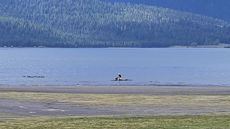
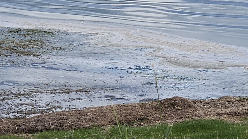
No noteworthy changes to the trail. There does appear to be some recent erosion on the far western part of this trail right up to the road—nothing of concern at this time. The views of the lake are pr...
Cory Wooldridge
Official Crew
Rated 5/5
Open
Visited: 08/22/2026
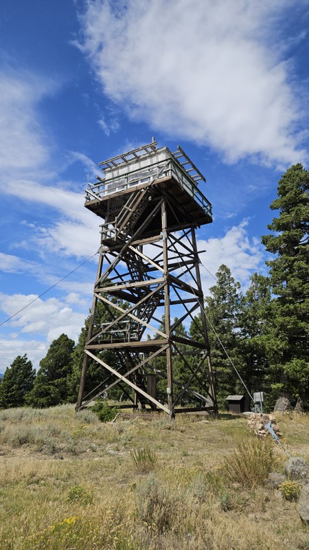
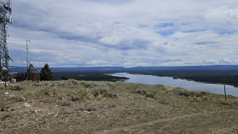
The trail was in good shape, views of the lake were great. I love this time of year with the daily thunderstorms and few bugs.
Cory Wooldridge
Official Crew
Rated 4/5
Open
Visited: 08/22/2026
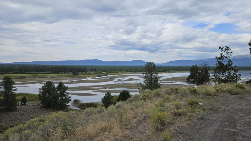
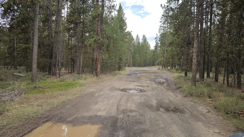
What an absolutely beautiful day to be on this trail! The recent rains had the potholes—hard to call them potholes when they are 20 feet across, but moving on—all full of water. They are smooth to dri...
Cory Wooldridge
Official Crew
Rated 5/5
Open
Visited: 08/21/2026
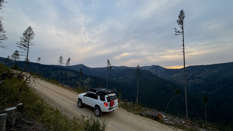
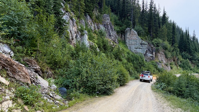
This was a better drive than I ever could have hoped! I had to reevaluate my weekend plans and reroute due to forest fire and didn't really have high expectations but road 320 delivered! I got a littl...
Lorraine Bourget
Official Crew
Rated 4/5
Open
Visited: 08/16/2026
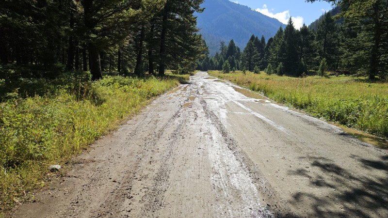
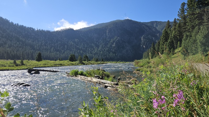
The potholes are back, and with a vengeance. It’s slow going on the north half of the road. Most of the potholes are slow rollers, but some are deep and severe, with no way to know the difference when...
Cory Wooldridge
Official Crew
Rated 3/5
Open
Visited: 08/16/2026
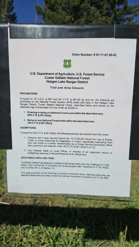
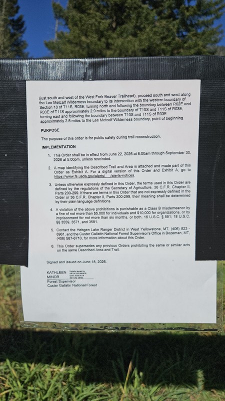
Today the trail was full of campers along the way and outfitters parked at the trailhead. Despite the busyness of the trail, the deer didn’t seem to mind us stopping to take pictures. West Fork Beaver...
Cory Wooldridge
Official Crew
Rated 3/5
Open
Visited: 08/15/2026
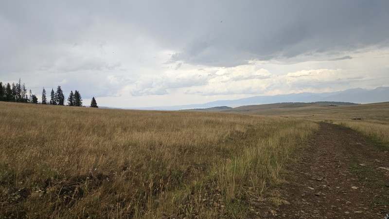
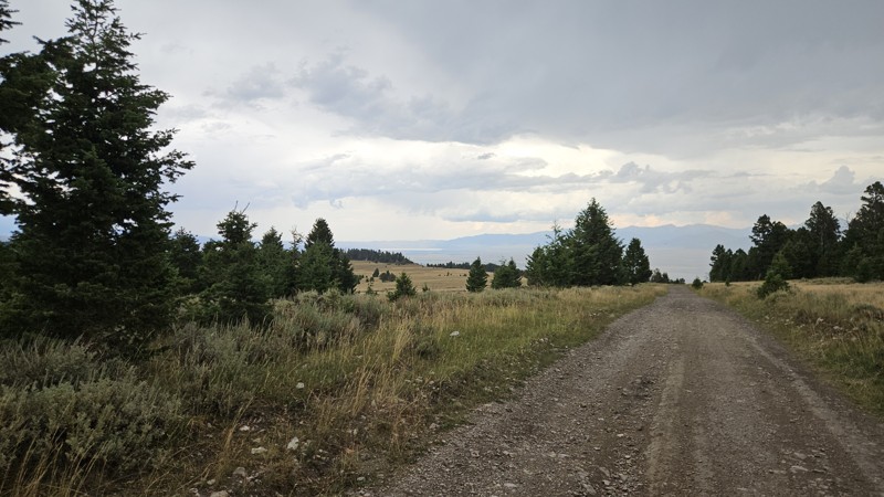
Today we drove Standard Creek up to the Gravelly Range and down Call Road to get back to Ennis. It’s easy to be critical of roads after two 5-star drives in a row. Call Road is not my favorite, but it...
Cory Wooldridge
Official Crew
Rated 5/5
Open
Visited: 08/15/2026
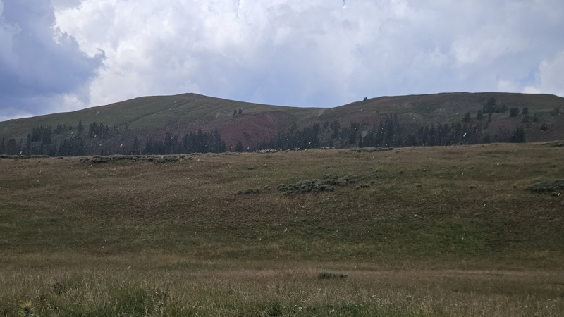
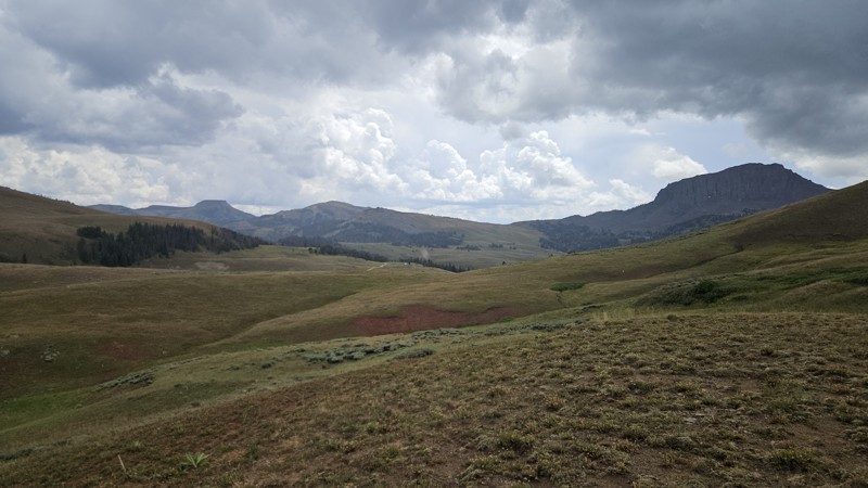
We ran this trail from Standard Creek to Call Road today, and it was, as always, a relaxing and peaceful scenic drive. The day’s afternoon thunderstorm rolled in while we were near Monument Ridge, qui...
Cory Wooldridge
Official Crew
Rated 5/5
Open
Visited: 08/15/2026
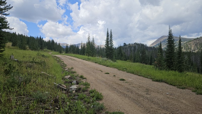
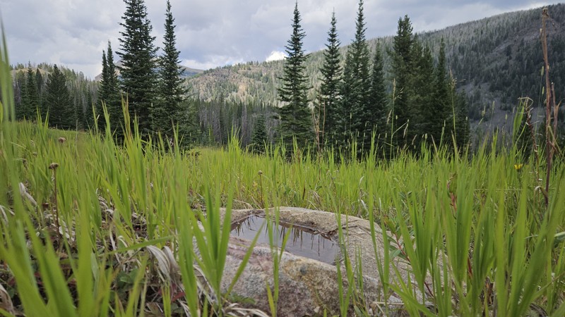
Absolutely gorgeous day to be in the mountains. The recent thunderstorms cleared the smoke from the air and the clouds checkerboarded the blue skies as we watched todays afternoon thunderstorm build a...
Cory Wooldridge
Official Crew
No Rating
Open
Visited: 08/11/2026
Per the MVUM, the trail is seasonally open. As always, check current fire restrictions/closures before venturing out.

Trails Offroad
Official Crew
No Rating
Open
Visited: 08/11/2026
Per the MVUM, the trail is seasonally open. As always, check current fire restrictions/closures before venturing out.
Trails Offroad
Official Crew
No Rating
Open
Visited: 08/11/2026
Per the MVUM, the trail is seasonally open. As always, check current fire restrictions/closures before venturing out.
Trails Offroad
Official Crew
No Rating
Open
Visited: 08/11/2026
Per the MVUM, the trail is seasonally open. As always, check current fire restrictions/closures before venturing out.
Trails Offroad
Official Crew
No Rating
Open
Visited: 08/11/2026
Per the MVUM, the trail is seasonally open. As always, check current fire restrictions/closures before venturing out.
Trails Offroad
Official Crew
No Rating
Open
Visited: 08/11/2026
Per the MVUM, the trail is seasonally open. As always, check current fire restrictions/closures before venturing out.
Trails Offroad
Official Crew
No Rating
Open
Visited: 08/11/2026
Per the MVUM, the trail is seasonally open. As always, check current fire restrictions/closures before venturing out.
Trails Offroad
Official Crew
Rated 3/5
Open
Visited: 08/08/2026
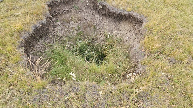
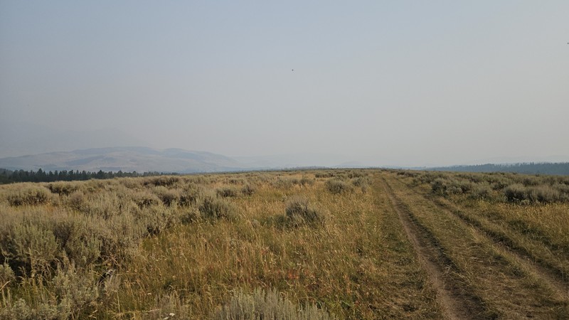
Nothing of change to note on the trail. Smoke season is in full force, not much in the way of distant views today. Funny though, I was more excited to check on that hole in the ground, and, it is si...
Cory Wooldridge
Official Crew
Rated 3/5
Open
Visited: 08/08/2026
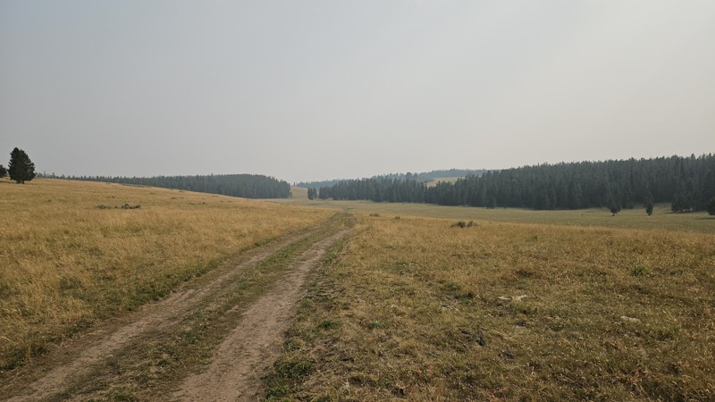
Once out of the trees, I was surprised to see how much drier the grass was. I took my usual view photo from the usual spot, it's a different feeling trail without any mountains in the distance due to...
Cory Wooldridge
Official Crew
Rated 3/5
Open
Visited: 08/08/2026
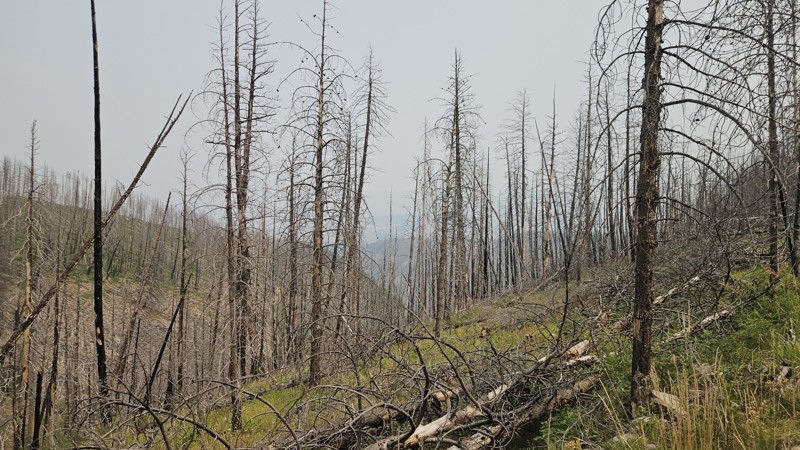
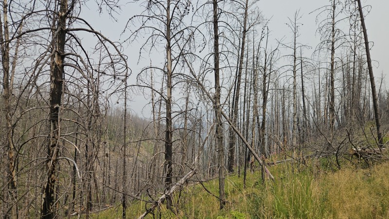
The spot at the end of this trail was the first spot we found not already taken. Near the end in the burn scar from a fire two years ago, there were some fallen trees recently cleared, and a couple mo...
Cory Wooldridge
Official Crew
Rated 3/5
Open
Visited: 08/08/2026
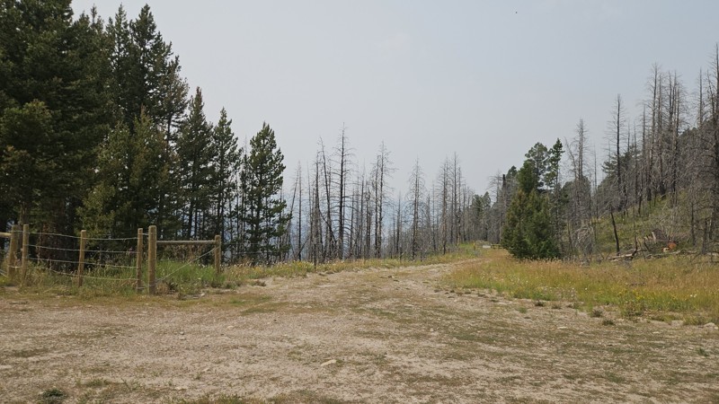
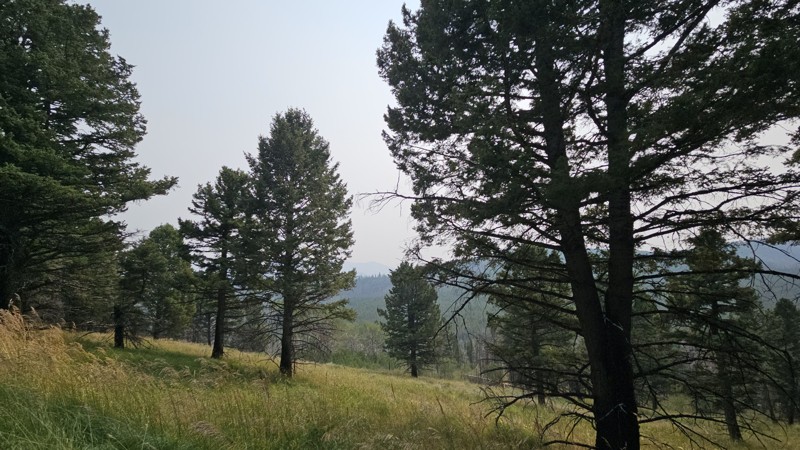
Baby trees are overtaking the talus slopes and regrowing in the burn scar from the fire two years ago. Fall wildflowers are just starting to bloom. A new fence has gone up near the Hoodoo Pass trailhe...
Cory Wooldridge
Official Crew
Rated 4/5
Open
Visited: 08/08/2026
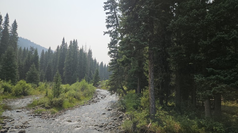
Pretty and relaxing drive today. Green grass and lingering wildflowers dotted the landscape with signs of the approaching fall in the willows along the river turning yellow and orange. Every campsite ...

Cory Wooldridge
Official Crew
Rated 3/5
Open
Visited: 08/05/2026
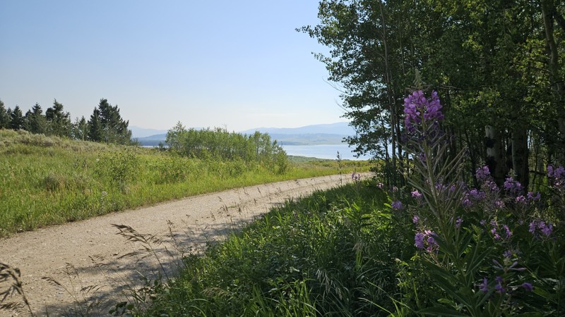
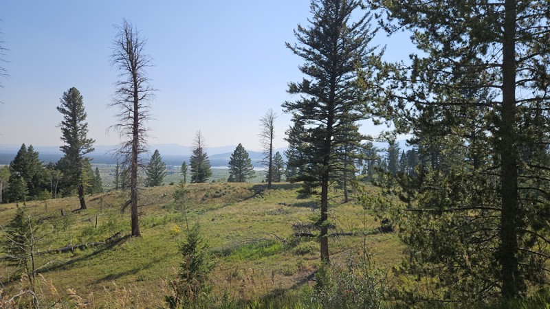
Despite the smoke, the views were still pretty. The trailhead at the end was busy, and not many flying insects, which was a nice change.
Cory Wooldridge
Official Crew
Rated 3/5
Open
Visited: 08/05/2026
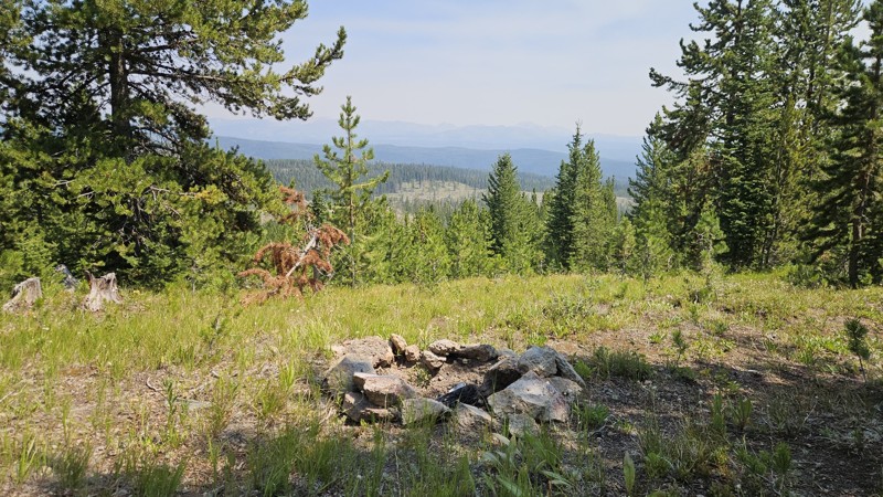
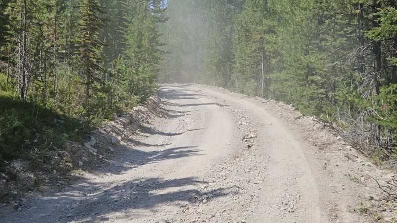
There are some new ruts along the lower portion of the road, all in all still in good shape with no changes to report.
Cory Wooldridge
Official Crew
Rated 3/5
Open
Visited: 08/05/2026
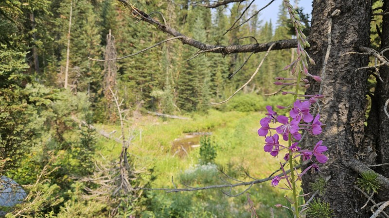
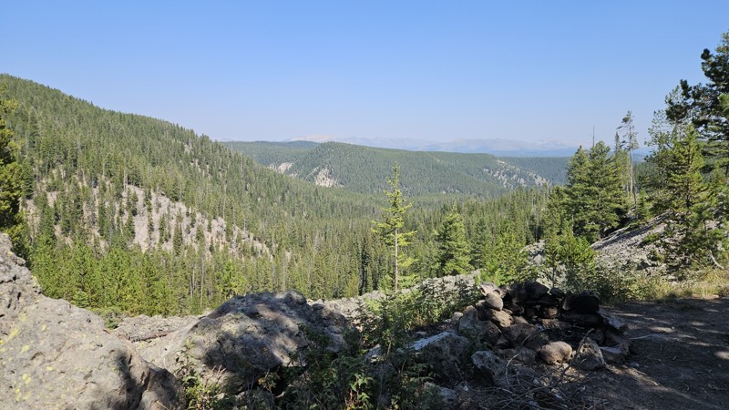
With the areas growing popularity and increased traffic, there's been a noticeable uptick in summer dispersed campers along this trail. The lower logged area from a couple of years ago now has multipl...
Cory Wooldridge
Official Crew
No Rating
Open
Visited: 07/22/2026
There is a deeply rutted (~ 1 ft deep) section on the west flank that’s about 25-50’ long. Not easily passable in large vehicle with 11“ clearance.
K
KRG
Rated 3/5
Open
Visited: 07/15/2026
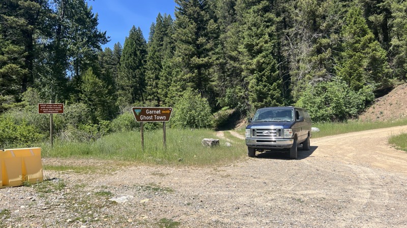
We ran this after we checked out Garnet. It wasn't a bad road, just a bit bumpy. I don't think a transfer case is absolutely mandatory, but due to the steep grades, I would recommend it. Technically s...

John
Official Crew
Rated 5/5
Open
Visited: 07/15/2026
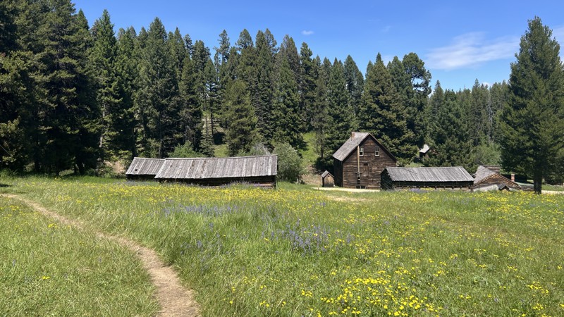
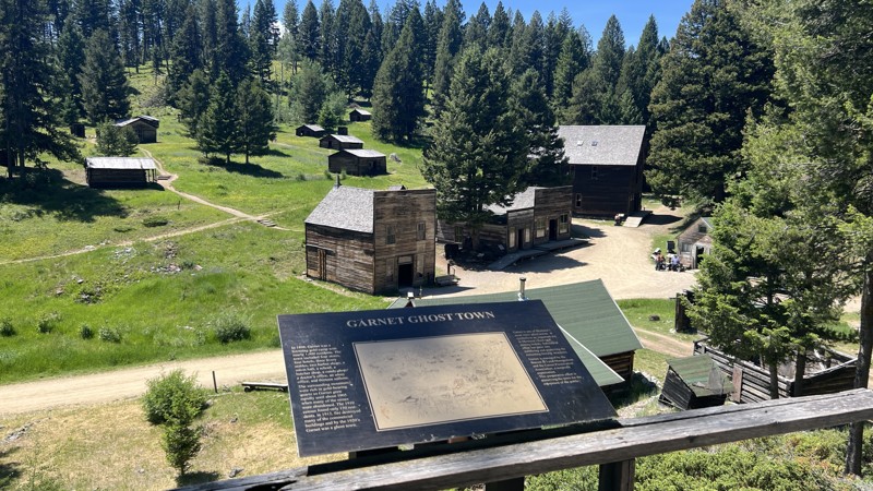
The road itself was rather meh, but the Garnet Ghost Town is quite the gem. This is a detour that is not to miss!
John
Official Crew
Rated 3/5
Open
Visited: 07/14/2026
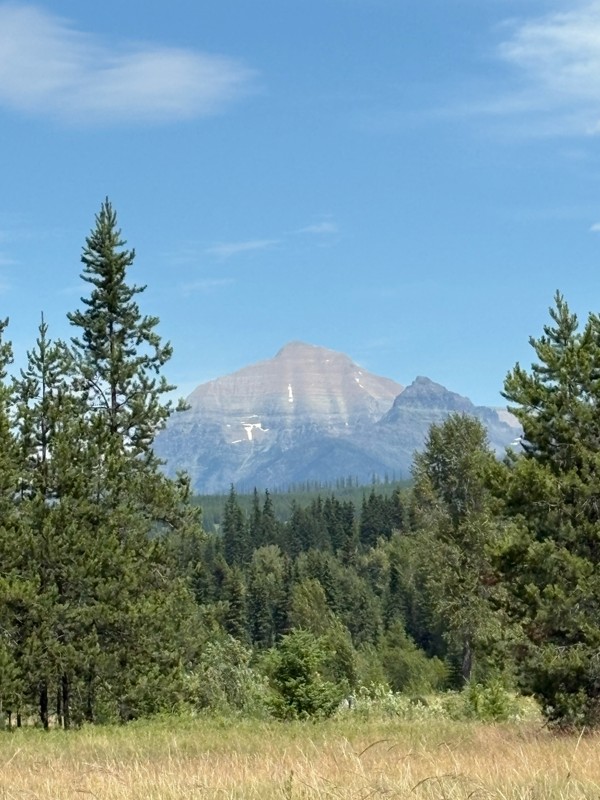
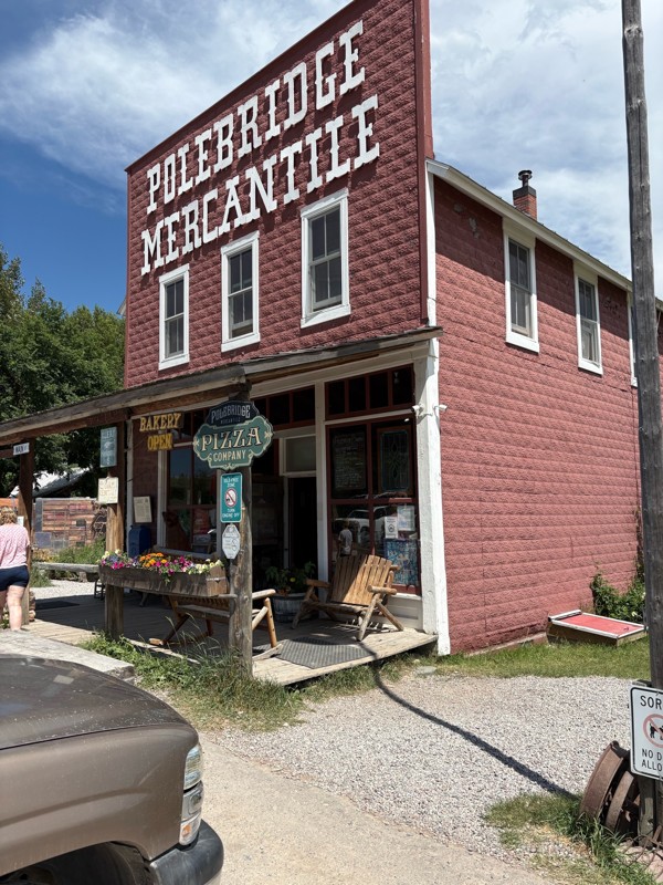
Nice and easy road, very little washboard as of this review. We only took it to Polebridge but very scenic. It does get a fair amount of traffic. There are a few campgrounds along the way as well as s...
Bryan Peterson
Rated 4/5
Open
Visited: 07/13/2026
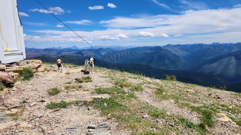
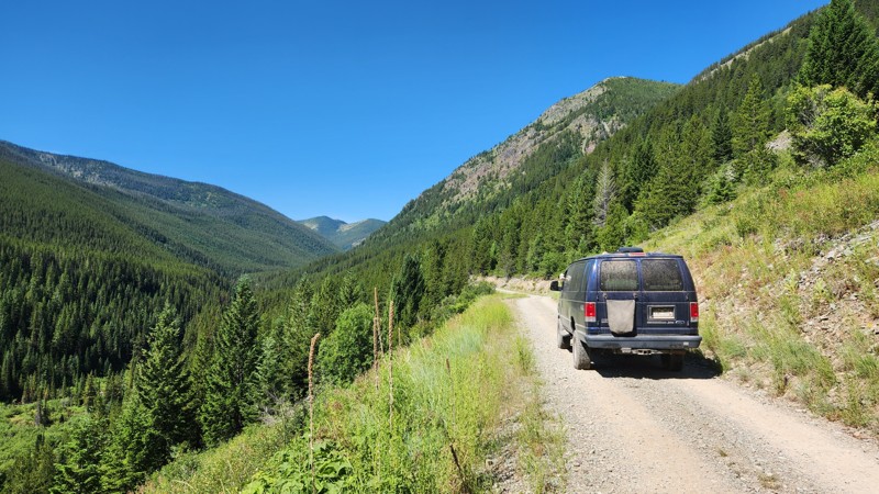
This was a great connector road between the Kalispell area and Glacier/Polebridge. The trail was easy and scenic. There was a lot of bikepacking traffic, so we went slow to make sure to not dust them ...
John
Official Crew
Most Popular


Updated: 10/15/2024
Lima Dam Road
Lima, Montana
Lima Dam Road takes you through the picturesque Centennial Valley, stretching from Lima on I-15 to the junction of North Valley Road and Blacktail Road. This easy trail offers pleasant scenery. Although the water in Lima Reservoir may not be suitable for swimming, remnants of cabins built around the same time as the dam in 1934, transport you back in time and ignite curiosity about life in this area a century ago. While camping is not available along this road, it serves as a gateway to numerous fantastic getaways along the Gravelly Range Road.

Updated: 07/21/2026
Cave Gulch Road
Beartown, Montana
Cave Gulch Road is a narrow, steep point to point connector shelf road accessible May into December. If you have an oversized vehicle, proceed with caution. It is also part of Montana's Historic Garnet Mining Region. Rocky with small washouts in places, watch for sharp switchbacks and limited turnouts. Camping is allowed but challenging along this trail due to the shelf road. There is one nice camp spot with tremendous views in a large turn out with several existing fire rings.
Ultimately this trail ends in Garnet, Montana's best preserved Ghost Town also on the National Register of Historic Places. It is maintained by the Bureau of Land Management so there will be a small fee to explore if you choose to do so.

Updated: 05/31/2024
East Bench
Cameron, Montana
East Bench is located in the Beaverhead-Deerlodge National Forest, the largest of the national forests in Montana covering 3.35 million acres. This road is less than an hours drive from Ennis or West Yellowstone, and just under 2 hours from Big Sky Montana. This road begins high on the mountain and gradually descends towards Goose, Otter, Hidden and Elk lakes. The end of this trail is reminiscent of a movie set, tall dead trees surrounding the open area at the end of the road with glimpses of a green-colored Otter Lake through the trees in the valley below. The wind occasionally breaks small branches, the sharp crack echoing through the trees, making the hair stand up on the back of your neck, you feel as though you're not alone.

Updated: 10/15/2024
Deer Mountain
Lakeview, Montana
Deer Mountain Trail takes you through lush green fields adorned with seasonal wildflowers and intermittent sections of eerie forests before ascending to the summit at an elevation of 8399 feet. Offering offroaders fantastic vistas, this trail provides the highest viewpoint looking south and west towards the Centennial Mountains and Valley. A short hike off the main trail leads to Deer Mountain Peak, where visitors are greeted with postcard-worthy views of the towering Centennial Mountains against the backdrop of a brilliant blue sky. In the northern ravines, snow lingers throughout the year, adding to the allure of the landscape.
Looking westward, the trail offers excellent views of the Red Rock Lakes National Wildlife Refuge. The tranquil lakes mirror the sky and fluffy clouds, harmoniously set amidst grassy fields and meandering streams that wind through the valley.
While dispersed camping is allowed on USFS Lands, it's important to note that no obvious campsites are found along this trail. Half of the trail lies within Montana State Land, where camping regulations are not clearly posted. For the best camping options in the area, consider Waypoint 9 on Conklin Lake Trail or along Elk Lake in the valley below.

Updated: 07/10/2026
South Plateau Road
West Yellowstone, Montana
1700 is an out-and-back trail running 13 miles south of West Yellowstone along the western edge of Yellowstone National Park. The northern half has about a dozen campsites, all easy to access from the road. Most sites are suitable for one or two vehicles, with a larger one farther south that's perfect for a big group.
Near the southern end of the trail is the Yellowstone Obsidian Outcrop, a neat little geological spot.
About two-thirds down the trail, at the western end of the only meadow this trail overlooks, you'll find Whitman's Cabin. There isn't any info on this place besides a mention on a 1960s topo map.
Overall, 1700 is an easy trail for those looking for camping access, cool geology, and a touch of history.

Updated: 07/10/2026
Little Bear B Road
Gallatin Gateway, Montana
Little Bear B Road runs 1 mile into the Gallatin Mountain Range connecting to Little Bear Road. The trail is moderately difficult. However, the trail becomes more difficult after significant rain. The trail is bumpy, with deep ruts requiring high ground clearance.
This trail has nice views and a large meadow full of flowers with several campsites, one of which is near a small pond. There's plenty of wildlife in the wooded area of the trail, where there are two additional campsites, one at the end of the trail right next to a large stream with a small waterfall.
Overall this trail is good for someone willing to take a harder route for nice views or a quieter camping location.

Updated: 10/15/2024
North Valley Road
Monida, Montana
Two main dirt roads cross through the Red Rock Lake National Wildlife Refuge, with North Valley Road being less traveled. The road offers several connecting trails to extend the time away from blacktop and "civilization" as long as one would like. While North Valley Road is most often used as a connector trail, the endless views make it a great drive on its own.
Camping is prohibited along this trail, but many campsites and Forest Service cabins are available on connecting trails. On the east side are campsites along Elk Lake and Elk Lake Road. To the north are endless camping possibilities once atop Gravelly Range Drive.

Updated: 07/21/2026
Garnet Range Road
Garnet, Montana
Garnet Range Road takes you to historic Garnet, Montana's best-preserved ghost town listed on the National Register of Historic Places. It is accessible by vehicle from May through December. On this simple, dusty gravel trail, you will encounter historical markers and viewpoints as you make your way up the mountain. There is no camping along this trail.

Updated: 10/15/2024
Cramer Creek
Somers, Montana
Cramer Creek is an easy winding mountain road. The trail is compact dirt and gravel with a few potholes of various depths and sizes. There are a few dispersed campsites with good views. All but one of the campsites are roadside. When connected with Patrick Creek, it’s a scenic backroad mountain drive from Kalispell to Lakeside

Updated: 05/31/2024
Jackknife
Cameron, Montana
Located in the Beaverhead-Deerlodge National Forest, Jackknife is a short trail that allows you to break out of the surrounding tall trees and get out into the open, grassy fields, overlooking the valleys and enjoy the surrounding mountain views. Once on top of the rolling hills, the mountain views stretch for miles. The tall grass blows like waves through the fields and along the hillsides. This is a popular grazing and watering spot for the cows which can present a roadblock sometimes. The kids will get a kick out of the closeup drivebys, and some good moo's along the way.

Updated: 07/10/2026
South Fork Madison
Railroad Summer Home Area, Montana
The South Fork Madison Trail is part of the 4,455-mile Great Western Trail and connects West Yellowstone, Montana, to Island Park, Idaho, via Reas Pass. This beautiful trail is an easy drive, following a section of the historic Union Pacific Rail Line, which began bringing passengers by steam locomotive to West Yellowstone and Yellowstone National Park in 1906. The tracks and sleepers were removed in 1981, leaving only the elevated path above the South Fork Madison River and the cut alongside the mountainside. In the fall of 2023, the Yellowstone Shortline Trail, a non-motorized hiking and biking trail, was completed, closing the upper portion of the original route of the South Fork Madison Trail. Now, bicyclists silently zip by along the paved 9 miles of the old train bed from West Yellowstone to the Idaho border, paralleling this trail across the river.
As you travel, it's incredible to imagine a steam train chugging through these canyons, with passengers gazing at the tall pines and enjoying views of the crystal-clear waters of the South Fork Madison River. The steep canyons amplify the sounds of the river, and the occasional crunch of loose rocks beneath your tires echoes through the landscape, enhancing the sense of adventure.
Due to frequent bear activity, camping in the West Yellowstone area is mainly limited to designated dispersed sites. There are no designated sites directly along this trail. For those looking to camp near Yellowstone National Park, the Forest Service lists designated camping areas at this link.

Updated: 10/15/2024
Centennial Divide
Monida, Montana
Centennial Divide is a well-traveled route that provides access to numerous trails and activities in the area. This road connects to several spurs and trails, leading east into the Gravelly Range, west into the Ruby Range, and south into the Red Rocks Wilderness area. Whether you're interested in prospecting and exploring gold mining history, fishing, hunting, camping, or simply soaking in the natural beauty, this road offers a gateway to countless outdoor adventures. It's a great starting point for exploring the diverse landscapes and opportunities that the Centennial Divide offers. The road is generally well-maintained, except for the section just south of the Eureka Basin intersection, which is rutted and can be slippery, like a slot car track when wet.
The southernmost 13 miles of the road do not have campsites. Once north of Eureka Basin 347, however, there are many dispersed campsites, such as Cottonwood Campground, which has a vault toilet, and Vigilante Cabin, built in the early 1920s and available for rent.

Updated: 08/31/2026
Cooper Pass
Burke, Montana
Cooper Pass, officially known as National Forest Road 7623, is a scenic mountain backroad that winds its way through thick forest, climbing steadily along a series of narrow, twisting switchbacks. As you gain elevation, the trees begin to part, revealing sweeping views of the surrounding peaks and valleys, a classic Idaho-Montana panorama that never gets old.
Though the road is considered easy by backroad standards and suitable for most 2WD vehicles with decent clearance, it’s not without its quirks. The Idaho side, in particular, throws in some rough patches and exposed rock, so it’s best to take your time and enjoy the ride.
While there aren't any campsites directly off the main route, numerous spur roads and trails branch off, offering tucked-away spots perfect for dispersed camping. Whether you're chasing solitude, starry skies, or a peaceful forest retreat, you'll find a place to pull over and settle in.
You can approach Cooper Pass from either end, via I-90 through Wallace, Idaho, or off Thompson Pass Road from Montana. Both directions serve up a laid-back, character-filled drive through beautiful high-country terrain. And at the end of the journey lies Burke, Idaho: a hauntingly cool, long-abandoned mining town steeped in history and perched in a narrow canyon, its buildings still whispering stories of a bygone era.
Keep in mind that snow and ice can linger well into June, so the pass typically doesn’t open until early to mid-summer. But once it does, Cooper Pass is a rewarding adventure for those craving forested climbs, ghost town exploration, and a slice of wild Idaho-Montana borderland beauty.

Updated: 10/15/2024
Boulder Ridge Access
Amazon, Montana
Boulder Ridge Access is a short, easy connector road between Finch Gulch and Boulder Hill Ridge that bypasses the radio repeater station. This road is most likely used as an access road for the power company. The road is rough with small rocks, but there are no obstacles or steep climbs to contend with. A large open area at the start on the southern end appears to be used as a staging/camping area, but it is located on private land.

Updated: 10/15/2024
Cottonwood Creek Road
Holden Place, Montana
Cottonwood Creek Road and Stone Creek Road are scenic dirt roads connecting the Ruby Valley with Dillon. While campsites along these roads are few, the incredible views and the many connecting trails will surely provide that perfect campsite. Along the trail are great views of the Treasure Mine, a talc strip mine. Plus, there are great views of distant mountain ranges, grassy fields, and tall trees while passing over the Ruby Range just shy of 8,000 feet. Near the top are several spurs and trails winding around the higher elevations of the mountain range that are worth exploring.

Updated: 10/15/2024
932
Grahams Place, Montana
Experience the awe-inspiring beauty of this must-see trail connecting Highway 87 and Highway 287. 932 offers a brief but unforgettable journey through nature's splendor and echoes of the past. The trails highlights include the historic Three Dollar Bridge crossing over the Madison River, intriguing remnants of the ghost town of Wade, breathtaking views of snow-capped mountains, vibrant green fields in spring, and remarkable wildlife encounters, including bald eagles, osprey and elk herds.
The area surrounding the trail is almost all private property with no spots to camp. There are, however, many campsites near the lakes, including Wade Lake Campground, Cliff Point Campground, and Hilltop Campground. There is also lodging at Wade Lake Resort and Wilderness Edge on the southern half of Cliff Lake. In addition, there is a day-use area with a restroom at Three Dollar Bridge for those that want to stop and see the Madison River.
There is little to no cell service along the trail. Weather can change the trail conditions instantly.

Updated: 10/15/2024
572
Grahams Place, Montana
Embark on a scenic adventure along the trail to Wade and Cliff Lakes, where natural beauty awaits at every turn. Immerse yourself in the serenity of whispering pines while enjoying panoramic views of the mountains and the tranquil, spring-fed blue waters of the lakes below. Wade Lake boasts the state record for a massive 29-pound brown trout, making it a paradise for fishing enthusiasts. The area offers a range of amenities, including campsites, a boat launch, paddleboard, kayak rentals, and hiking trails. Or, find a spot along the shoreline nestled under the shade of the pines and watch a bobber...or not.

Updated: 10/15/2024
Patrick Lion
Somers, Montana
Short out and back trail starts off as a wide and more maintained road before turning into a two-track that will cause pinstriping. Plenty of dispersed camping within this thick forest trail.

Updated: 10/15/2024
Upper Ruby Road
Tate Place, Montana
Upper Ruby Road primarily passes through private property while offering options for exploration to the east and west. While the road may not be the destination, it is often a key route on your adventure. Whether you're delving into the mining history around Virginia City, exploring the Gravelly and Ruby Mountain Ranges, or heading south to the Red Rock Lakes Wildlife Refuge, I-15, or Henrys Lake, Upper Ruby Road will likely be a part of your journey.
There is no camping along this trail, but south on Centennial Divide is a campground, several campsites, and many trails with dispersed camping opportunities.

Updated: 07/10/2026
Lionhead Road
Railroad Summer Home Area, Montana
Tucked just inside the Montana border, Lionhead Road is an easy, packed-dirt trail providing alternate access to the Lionhead hiking trail and the FS 1791 ATV trail. The trail has no significant obstacles, but minor washouts are common with the passing afternoon thunderstorms. The trail has a few campsites, although none of which are overly large or attractive compared to other campsites in the neighboring forests.

Updated: 07/10/2026
Corrette Ridge
Railroad Summer Home Area, Montana
Corrette Ridge Road was reopened in 2022 after a section of the 478 South Fork Madison trail was repurposed for a hike and bike trail. This allowed those of us in vehicles over 50 inches wide to connect Island Park and West Yellowstone by dirt. This dusty dirt road is an easy connector trail with only a few ruts and rocks along the way. It travels through a forest of conifer trees with grassy undergrowth. Be aware of oncoming traffic. There are blind turns, and the road is not much more than one lane.
Due to bear activity, camping is restricted to designated sites, and no designated sites are along this trail. For those looking to camp, check out Madison Arm, which offers camping near the shore of Hebgen Lake.

Updated: 10/15/2024
Stone Creek Road
Bishop Place, Montana
Stone Creek Road and Cottonwood Creek Road make for a beautiful drive over the Ruby Range. Easily accessible off Highway 41 just outside Dillon, the road starts by winding through grassy fields dotted with a few old homestead cabins. It's easy to get lost in thought, imagining what life was like when these cabins were occupied while enjoying the surrounding scenery.
Stone Creek Road is a straightforward, easy trail that eventually turns into Cottonwood Creek Road. While Stone Creek Road doesn't have many spurs, once you reach Cottonwood Creek Road, there are multiple connecting spurs to explore for those looking for a bit more adventure. If you're traveling between Dillon and the Ruby Valley near Alder, these roads offer an excellent alternative to pavement, allowing you to enjoy the landscape at your own pace.
Most of Stone Creek Road is bordered by private property, so views are mostly enjoyed from the vehicle, and camping spots are limited. However, once you reach the top of the mountain, you'll find better opportunities for camping, along with fantastic views that make the drive worthwhile.

Updated: 10/15/2024
Sacajawea Memorial Area
Tendoy, Montana
This is an easy, short, curving dirt road that winds its way from Lemhi Pass to a parking lot with several picnic areas, informative signage, a vault toilet, and a hiking trail leading to a spring named "The Most Distant Fountain." This spring is part of a small memorial to Sacajawea, the Shoshone woman who was instrumental in the success of the Lewis and Clark expedition.
Although there are picnic tables and fire rings, this is a day-use-only area.
As history recalls, the Lewis and Clark expedition had followed the mighty Missouri River for months. On August 11, 1805, Lewis led a small advance party towards Lemhi Pass following the ever-diminishing water flow. He recorded in his journal, "The road took us to the most distant fountain of the waters of the mighty Missouri in search of which we have spent so many toilsome days and wristless nights. Thus far, I had accomplished one of those great objects on which my mind has been unalterably fixed for many years, judge then of the pleasure I felt in allying my thirst with this pure and ice cold water." Hugh McNeal, a member of the advance party, stood with one foot on each side of the run-off of the spring and "thanked his god that he had lived to bestride the mighty and heretofore deemed endless Missouri."
Visitors can still "bestride" the Missouri headwaters by standing on two large stones at the end of the hike.

Updated: 10/15/2024
Lower Lion
Forest Hill Village, Montana
Lower Lion is an old logging road that isn’t maintained. Medium tire ruts in places you need to pay attention to. It dead ends at the top of the ridge line with a view of the surrounding area and lake. Several dispersed camping spots on the ridge.

Upgrade your Membership
Unlock all of the details on every Trail Guide and Scout Route.
Start a 7-day Free TrialCommunity
Partners

