


By clicking "ACCEPT", you agree to be the terms and conditions of each policy linked to above. You also agree to the storing of cookies on your device to facilitate the operation and functionality of our site, enhance and customize your user experience, and to analyze how our site is used.
Montana Off-Road Trails
42
Total Trail Guides 35

575
Detailed Waypoints 64
Try a Free 7-Day Trial and unlock it all
Start a Free Trial Most Recent Trail Reviews
Rated 3/5
Open
Visited: 09/13/2026
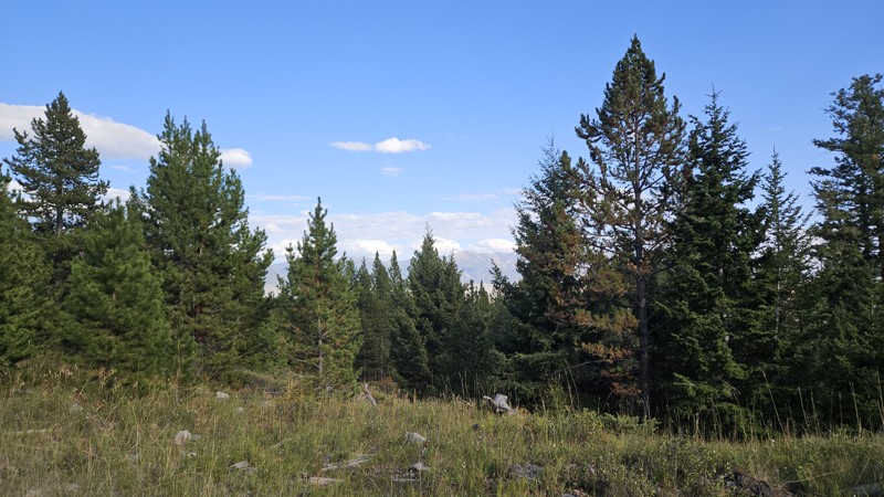
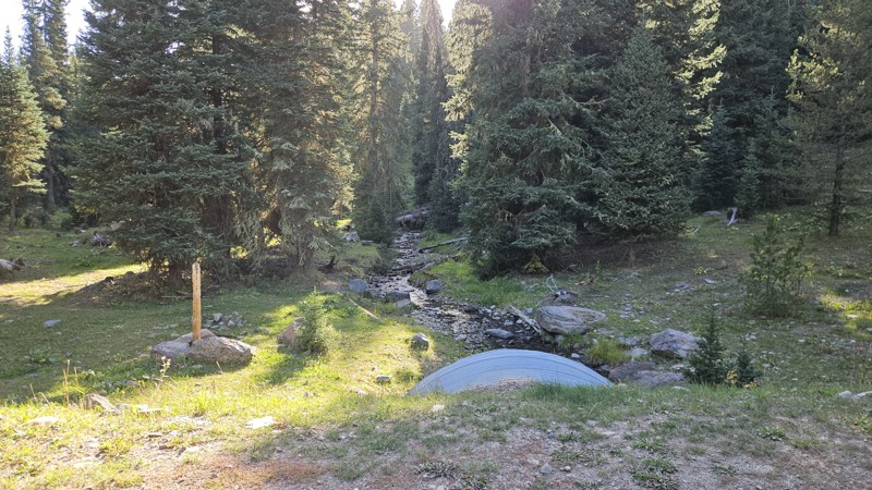
Despite the windy day, no downed trees across this trail. Some evidence that a few came down in the last couple weeks and someone cleared them, but overall the trail was in great condition. No changes...


Cory Wooldridge
Official Crew
Rated 3/5
Open
Visited: 09/13/2026
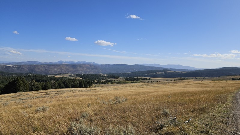
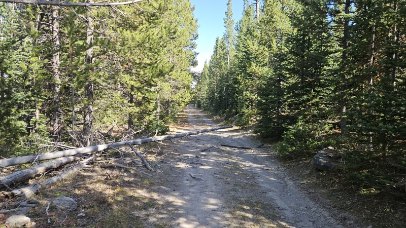
Pretty day, but very windy. Trees downed across the road, with evidence that many previous people had also cut some recently fallen ones. One tree looks like it's ready to come down, and there's a lot...
Cory Wooldridge
Official Crew
Rated 3/5
Open
Visited: 09/13/2026
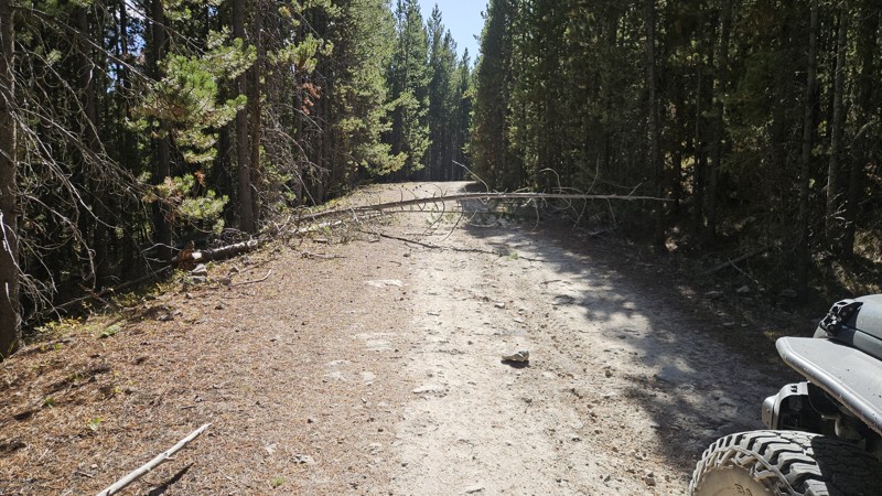
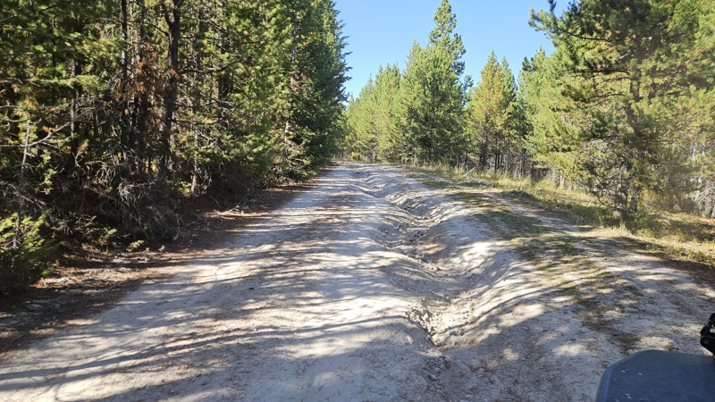
Pretty day, but very windy — quite a few downed trees across the road, one of which we had to cut. Evidence of several others that people had cut very recently. Maybe a few new ruts, but overall still...
Cory Wooldridge
Official Crew
Rated 4/5
Open
Visited: 09/12/2026
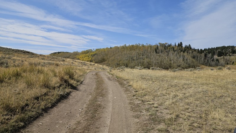
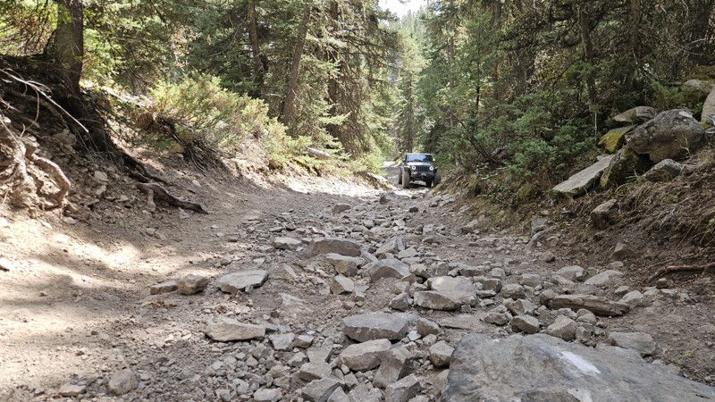
Several previous reviews have noted the stretch between waypoints 6 and 7 as more rocky and exposed, and it is — a longer section of exposed rock, with downed trees adding to the difficulty. I'll upda...
Cory Wooldridge
Official Crew
Rated 3/5
Open
Visited: 09/12/2026
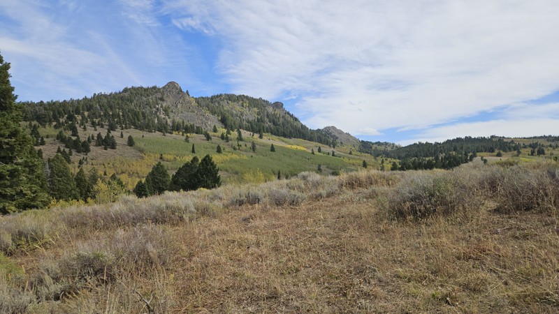
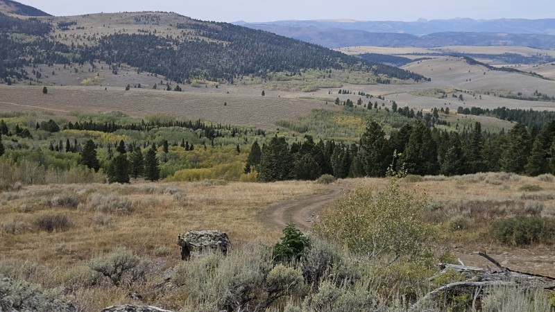
Fall colors along this trail are absolutely beautiful. A couple of groups came through, all out exploring the same thing. One stopped us to say they'd seen a deer standing in the middle of the road do...
Cory Wooldridge
Official Crew
Rated 3/5
Open
Visited: 09/12/2026
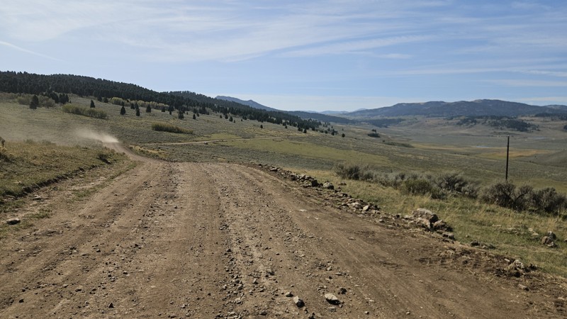
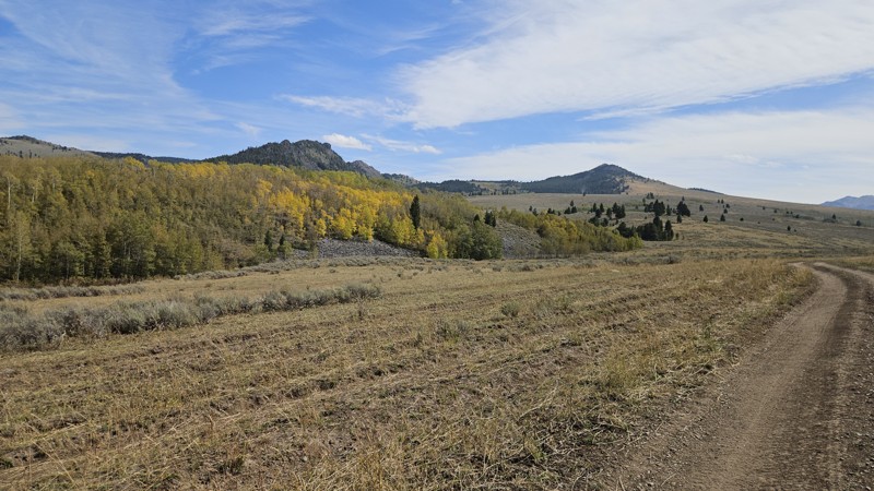
From Highway 87 to the private drive at the lake, the road has been improved significantly with new culverts and fresh road base. Beyond that it's still a two-track — bumpy but passable in stock SUVs....
Cory Wooldridge
Official Crew
No Rating
Open
Visited: 09/12/2026
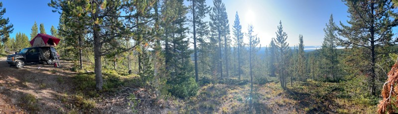
Great easy trail, setup camp on the overlook of the mountains. Was very quiet and minimal wind. If you come during hunting season spots fill up fast!
JR
Justin Ribbens
Rated 4/5
Open
Visited: 09/07/2026
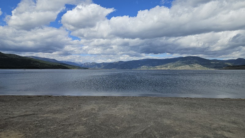
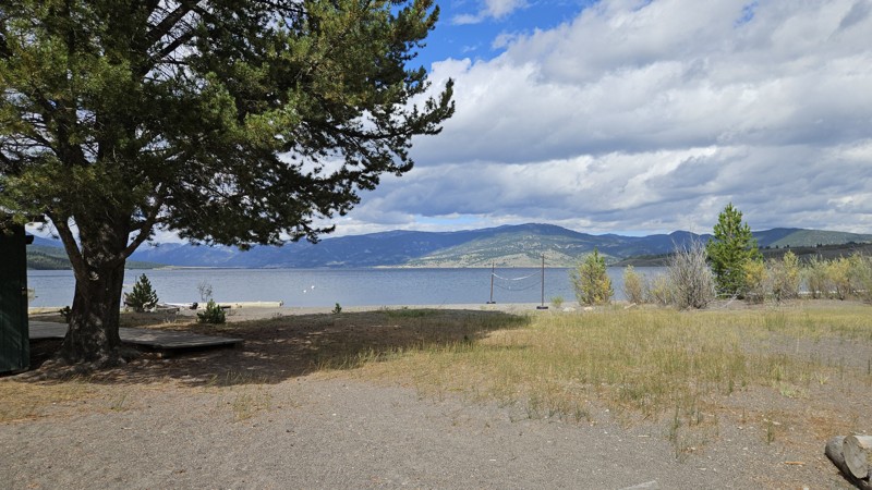
Spent several hours on the lake, playing around the shoreline at Lonesomehurst campground and the day use area — a neat spot we hadn't ventured to yet. Spotted a moose running across the road as we he...
Cory Wooldridge
Official Crew
Rated 4/5
Open
Visited: 09/07/2026
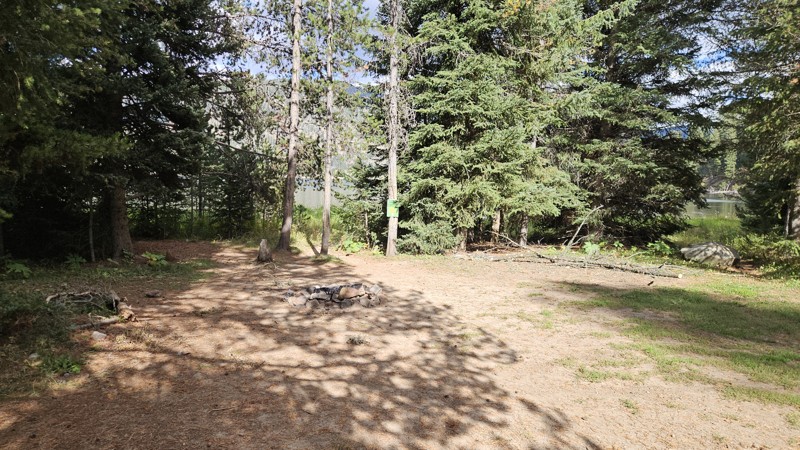
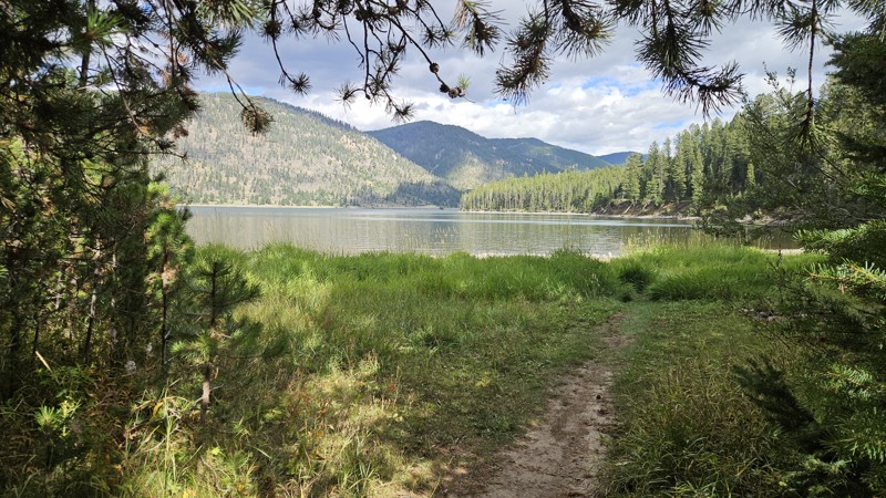
Pretty day for this time of year — no bugs. Lots of dead and downed trees, so bring a saw if you're camping; plenty of firewood. Grass is green with some lingering wildflowers despite fall. No changes...
Cory Wooldridge
Official Crew
Rated 3/5
Partially Open
Visited: 09/07/2026
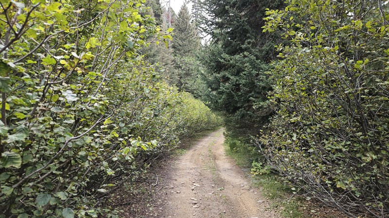
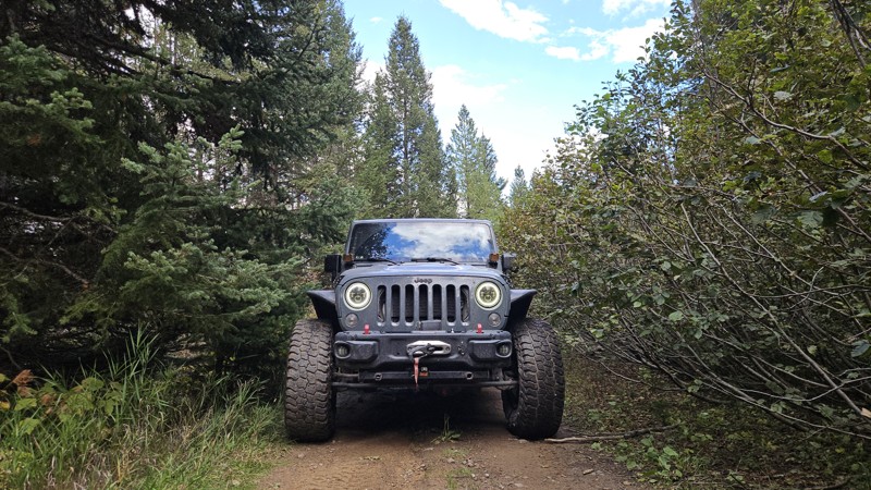
Turned around halfway between waypoints 10 and 11, where the vegetation clearing stopped years ago and the dense overgrowth continues to take over the road. We walked a short way in but decided not to...
Cory Wooldridge
Official Crew
Rated 4/5
Open
Visited: 09/05/2026
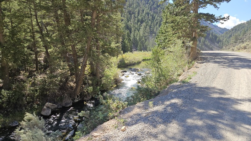
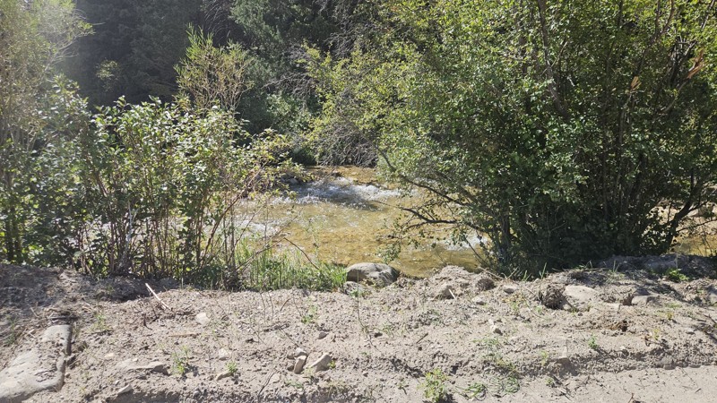
A bit more traffic than we're used to when we come out here, but still quiet compared to home. Spots of this road have been improved as the washboard is milder than years past on the eastern half. I t...
Cory Wooldridge
Official Crew
Rated 4/5
Open
Visited: 09/05/2026
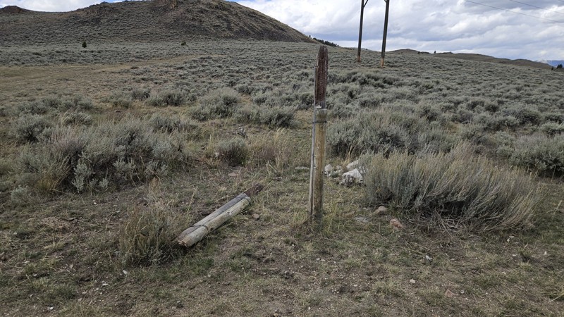
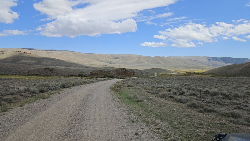
Today was busier than we're used to. Being the start of hunting season, there is a bit more traffic, and we happen to meet at and near blind turns without warning. No incidents or close calls, but a w...
Cory Wooldridge
Official Crew
Rated 4/5
Open
Visited: 09/05/2026
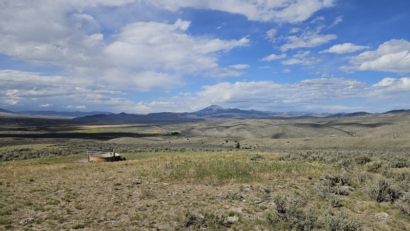
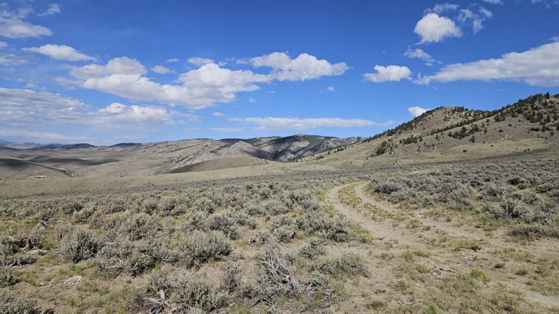
No noteworthy changes to the trail,. Late August and early September are our favorite times to make the trip out here. The temps were perfect, no bugs, thunderstorms rolling across the sky in the dis...
Cory Wooldridge
Official Crew
Rated 5/5
Open
Visited: 09/05/2026
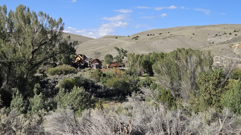
The feel of fall is in the air, the colors are beginning to show, and this weekend was busy. People swimming in the creek and pleasant temps, no changes to the trail to mention.
Cory Wooldridge
Official Crew
Rated 4/5
Open
Visited: 09/04/2026
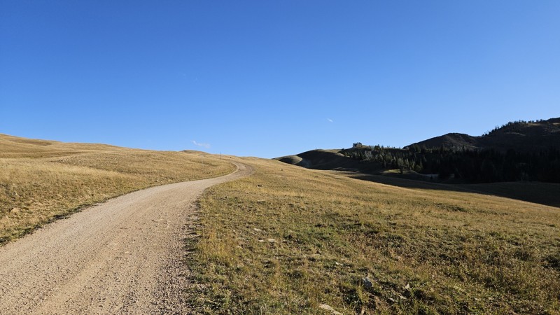
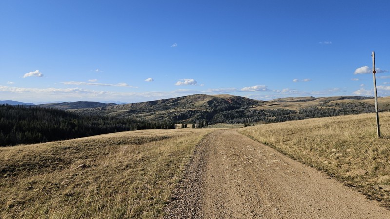
We ran this trail from Eureka Basin to Standard Creek today, no changes to this section of the trail to note. Hunting season is upon us, and all the campsites were taken.
Cory Wooldridge
Official Crew
Rated 3/5
Open
Visited: 09/04/2026
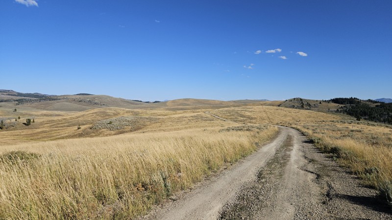
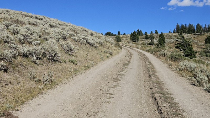
The trail is rougher than I've seen in the past several years, yet not enough to require a ratings update. There are a lot of fist sized loose rocks and ruts forming from runoff, but still easy.
I wa...
Cory Wooldridge
Official Crew
Rated 4/5
Open
Visited: 09/04/2026
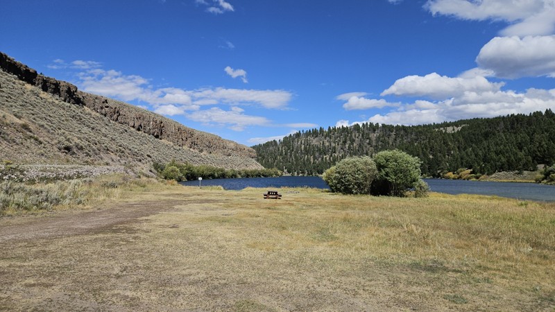
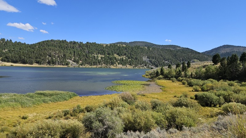
Surprisingly for the start of hunting season, there was only one person camping at the top of the big hill. The sites at Elk Lake and Hidden Lake were all open. We hung out at Elk Lake for quite awhi...
Cory Wooldridge
Official Crew
Rated 4/5
Open
Visited: 08/30/2026
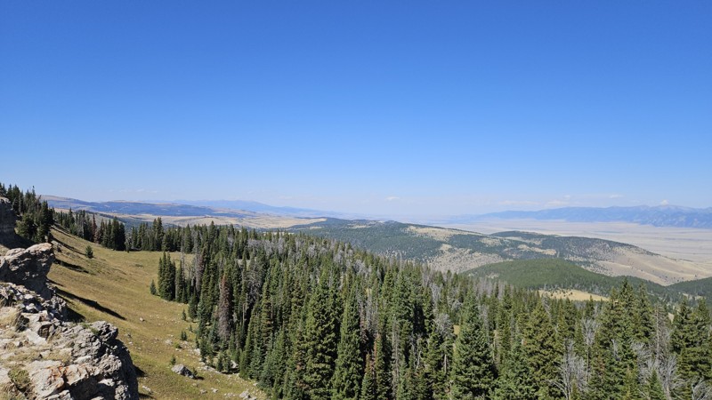
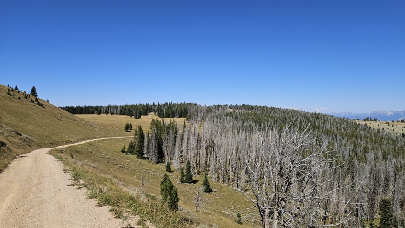
Today we made the loop from Ennis, through VC and Alder, down Centennial and up Warm Springs, Gravely, and down Johnny Ridge to the 287. No noteworthy changes to the trail. The weather was nice, wind...
Cory Wooldridge
Official Crew
Rated 4/5
Open
Visited: 08/30/2026
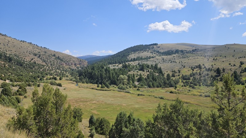
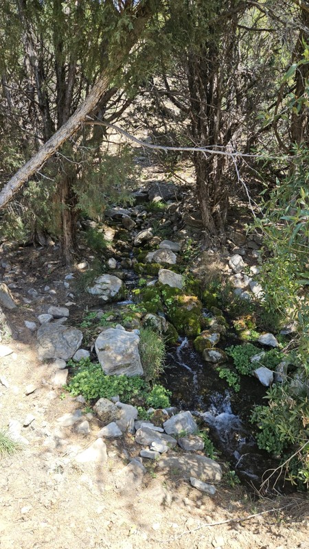
In terms of my favorite landscapes to be in, this trail feels like home. The Juniper mixed with short pines, rocky outcroppings and creek running over boulders, lush green grass, small spring trickli...
Cory Wooldridge
Official Crew

Rose Meirs
Official Crew
Rated 3/5
Open
Visited: 08/23/2026
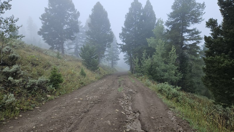
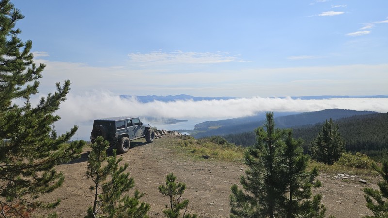
We added the obstacle at waypoint 5 after recent rains left the hill slick with loose mud, which pushed the rating up to a two. The lake views were the real highlight — clouds hung over the water when...
Cory Wooldridge
Official Crew
Rated 3/5
Open
Visited: 08/22/2026
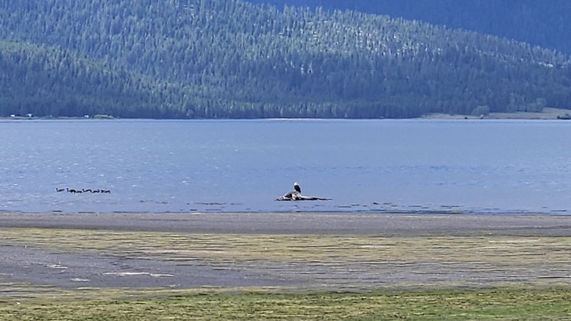
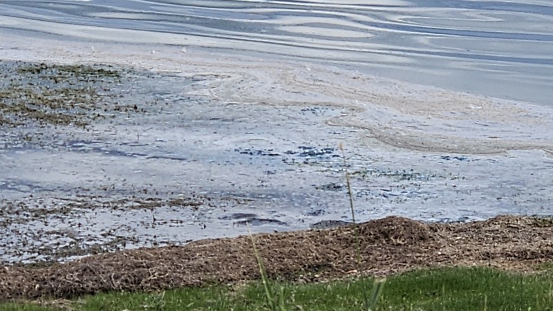
No noteworthy changes to the trail. There does appear to be some recent erosion on the far western part of this trail right up to the road—nothing of concern at this time. The views of the lake are pr...
Cory Wooldridge
Official Crew
Rated 5/5
Open
Visited: 08/22/2026
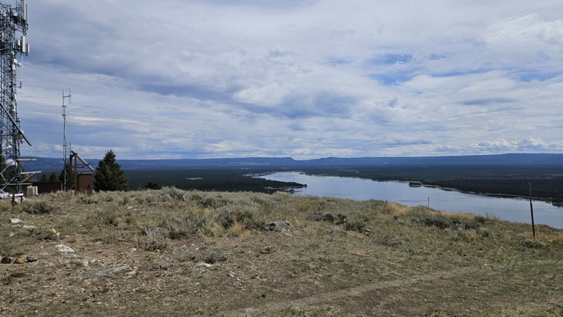
The trail was in good shape, views of the lake were great. I love this time of year with the daily thunderstorms and few bugs.
Cory Wooldridge
Official Crew
Rated 4/5
Open
Visited: 08/22/2026
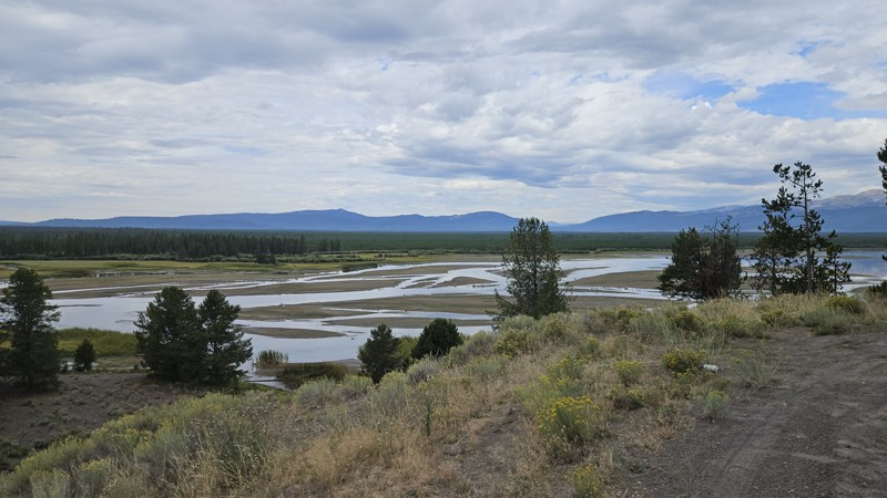
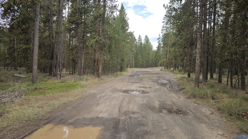
What an absolutely beautiful day to be on this trail! The recent rains had the potholes—hard to call them potholes when they are 20 feet across, but moving on—all full of water. They are smooth to dri...
Cory Wooldridge
Official Crew
Rated 5/5
Open
Visited: 08/21/2026
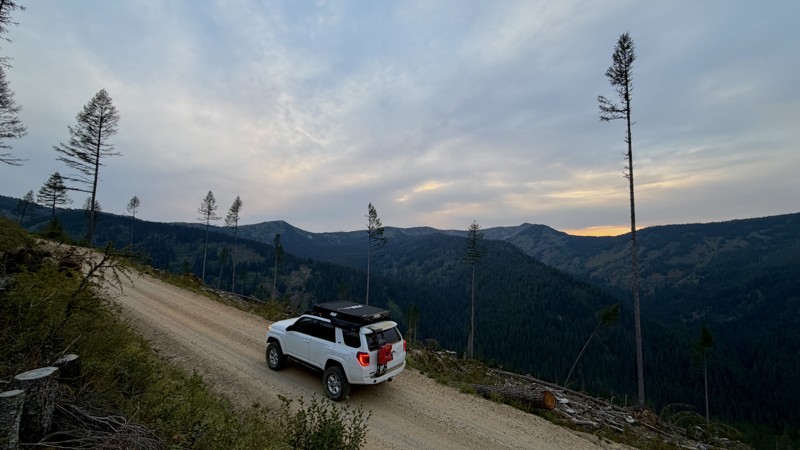
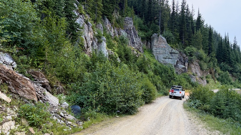
This was a better drive than I ever could have hoped! I had to reevaluate my weekend plans and reroute due to forest fire and didn't really have high expectations but road 320 delivered! I got a littl...
Lorraine Bourget
Official Crew
Rated 4/5
Open
Visited: 08/16/2026
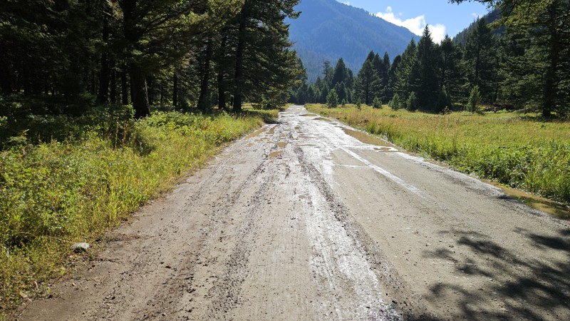
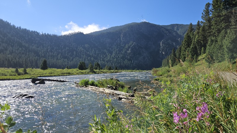
The potholes are back, and with a vengeance. It’s slow going on the north half of the road. Most of the potholes are slow rollers, but some are deep and severe, with no way to know the difference when...
Cory Wooldridge
Official Crew
Rated 3/5
Open
Visited: 08/16/2026
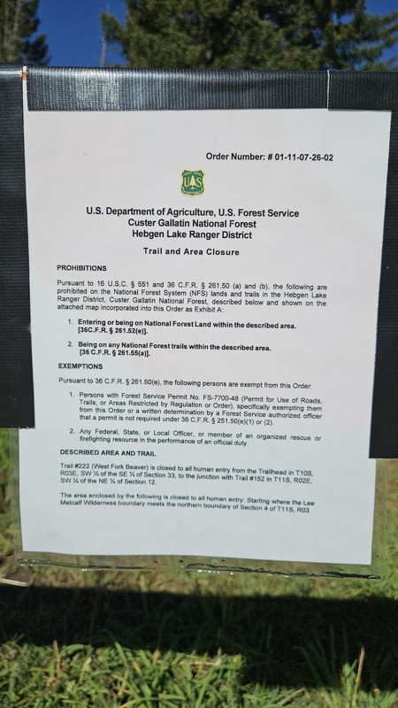
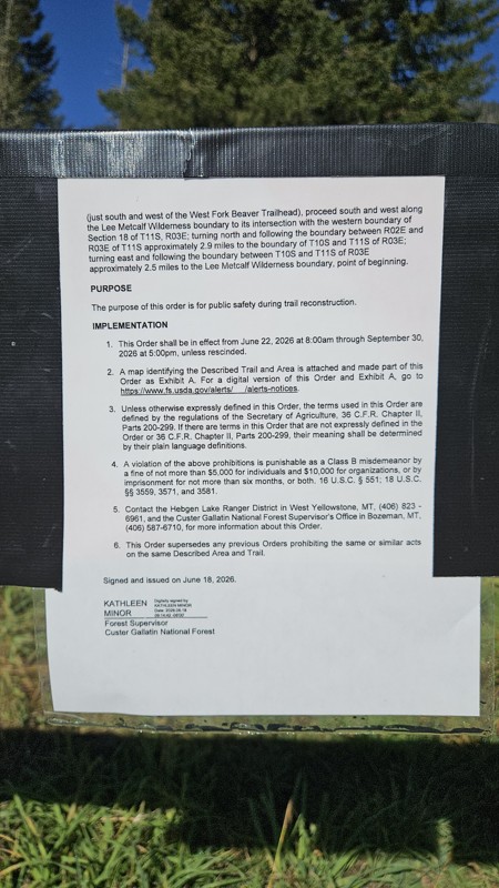
Today the trail was full of campers along the way and outfitters parked at the trailhead. Despite the busyness of the trail, the deer didn’t seem to mind us stopping to take pictures. West Fork Beaver...
Cory Wooldridge
Official Crew
Rated 3/5
Open
Visited: 08/15/2026
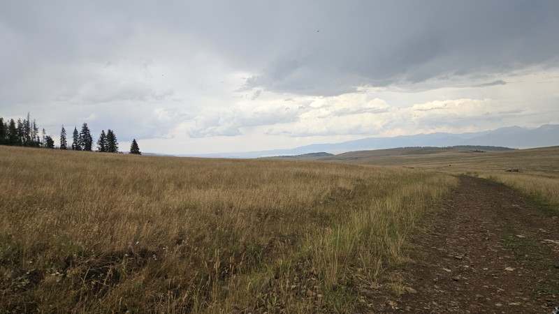
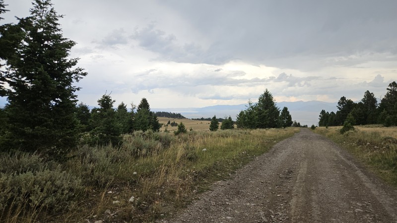
Today we drove Standard Creek up to the Gravelly Range and down Call Road to get back to Ennis. It’s easy to be critical of roads after two 5-star drives in a row. Call Road is not my favorite, but it...
Cory Wooldridge
Official Crew
Rated 5/5
Open
Visited: 08/15/2026
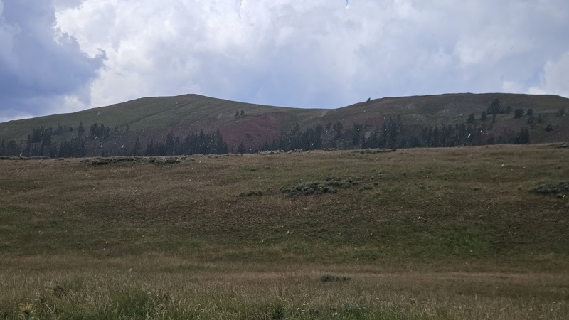
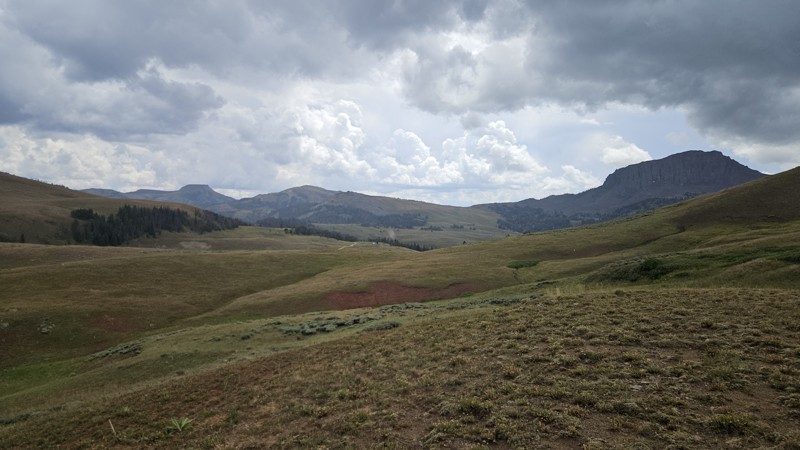
We ran this trail from Standard Creek to Call Road today, and it was, as always, a relaxing and peaceful scenic drive. The day’s afternoon thunderstorm rolled in while we were near Monument Ridge, qui...
Cory Wooldridge
Official Crew
Rated 5/5
Open
Visited: 08/15/2026
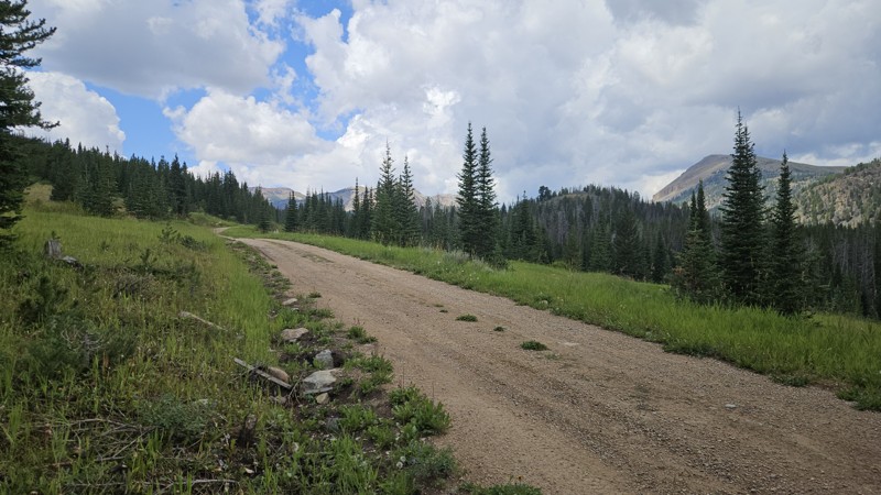
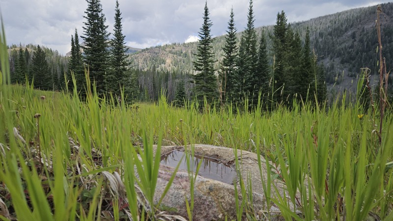
Absolutely gorgeous day to be in the mountains. The recent thunderstorms cleared the smoke from the air and the clouds checkerboarded the blue skies as we watched todays afternoon thunderstorm build a...
Cory Wooldridge
Official Crew
No Rating
Open
Visited: 08/11/2026
Per the MVUM, the trail is seasonally open. As always, check current fire restrictions/closures before venturing out.

Trails Offroad
No Rating
Open
Visited: 08/11/2026
Per the MVUM, the trail is seasonally open. As always, check current fire restrictions/closures before venturing out.
Trails Offroad
No Rating
Open
Visited: 08/11/2026
Per the MVUM, the trail is seasonally open. As always, check current fire restrictions/closures before venturing out.
Trails Offroad
No Rating
Open
Visited: 08/11/2026
Per the MVUM, the trail is seasonally open. As always, check current fire restrictions/closures before venturing out.
Trails Offroad
No Rating
Open
Visited: 08/11/2026
Per the MVUM, the trail is seasonally open. As always, check current fire restrictions/closures before venturing out.
Trails Offroad
No Rating
Open
Visited: 08/11/2026
Per the MVUM, the trail is seasonally open. As always, check current fire restrictions/closures before venturing out.
Trails Offroad
No Rating
Open
Visited: 08/11/2026
Per the MVUM, the trail is seasonally open. As always, check current fire restrictions/closures before venturing out.
Trails Offroad
Rated 3/5
Open
Visited: 08/08/2026
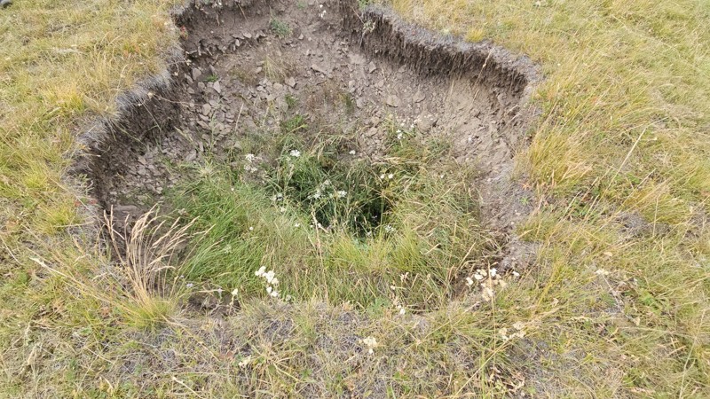
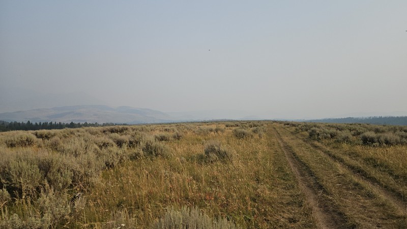
Nothing of change to note on the trail. Smoke season is in full force, not much in the way of distant views today. Funny though, I was more excited to check on that hole in the ground, and, it is si...
Cory Wooldridge
Official Crew
Rated 3/5
Open
Visited: 08/08/2026
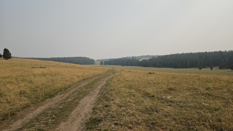
Once out of the trees, I was surprised to see how much drier the grass was. I took my usual view photo from the usual spot, it's a different feeling trail without any mountains in the distance due to...
Cory Wooldridge
Official Crew
Rated 3/5
Open
Visited: 08/08/2026
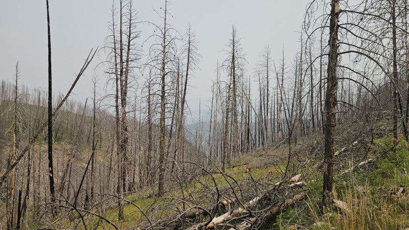
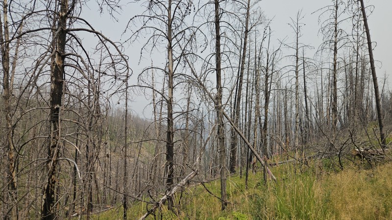
The spot at the end of this trail was the first spot we found not already taken. Near the end in the burn scar from a fire two years ago, there were some fallen trees recently cleared, and a couple mo...
Cory Wooldridge
Official Crew
Rated 3/5
Open
Visited: 08/08/2026
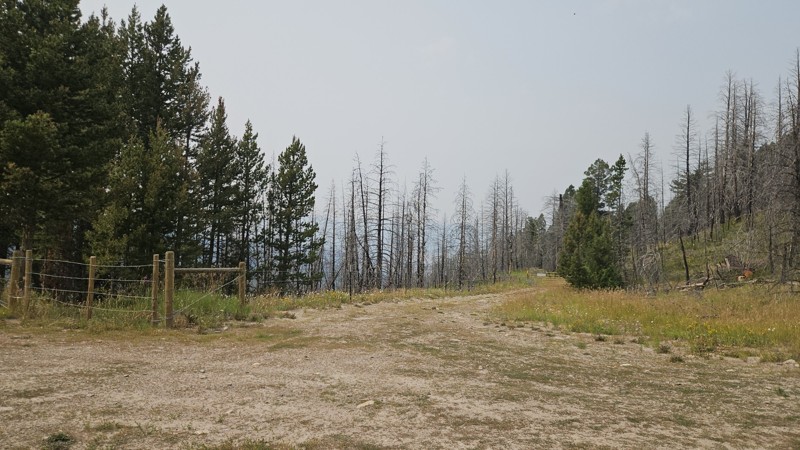
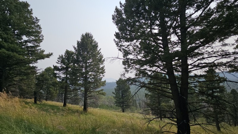
Baby trees are overtaking the talus slopes and regrowing in the burn scar from the fire two years ago. Fall wildflowers are just starting to bloom. A new fence has gone up near the Hoodoo Pass trailhe...
Cory Wooldridge
Official Crew
Rated 4/5
Open
Visited: 08/08/2026
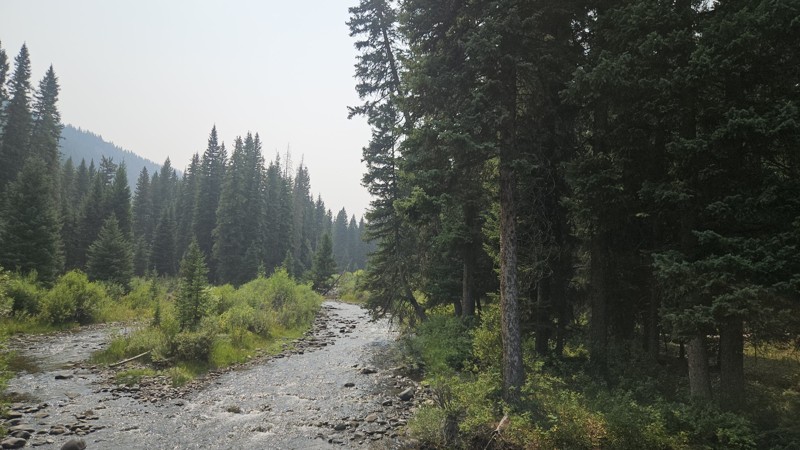
Pretty and relaxing drive today. Green grass and lingering wildflowers dotted the landscape with signs of the approaching fall in the willows along the river turning yellow and orange. Every campsite ...

Cory Wooldridge
Official Crew
Rated 3/5
Open
Visited: 08/05/2026
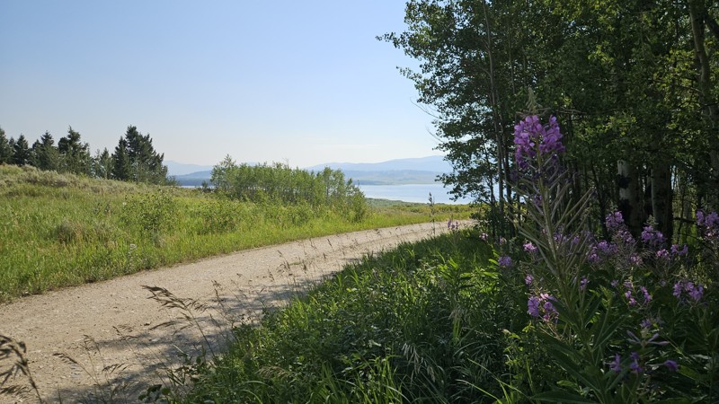
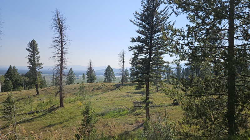
Despite the smoke, the views were still pretty. The trailhead at the end was busy, and not many flying insects, which was a nice change.
Cory Wooldridge
Official Crew
Rated 3/5
Open
Visited: 08/05/2026
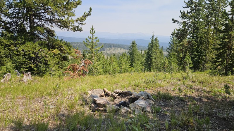
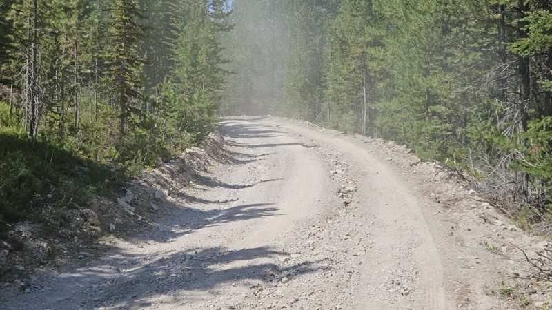
There are some new ruts along the lower portion of the road, all in all still in good shape with no changes to report.
Cory Wooldridge
Official Crew
Rated 3/5
Open
Visited: 08/05/2026
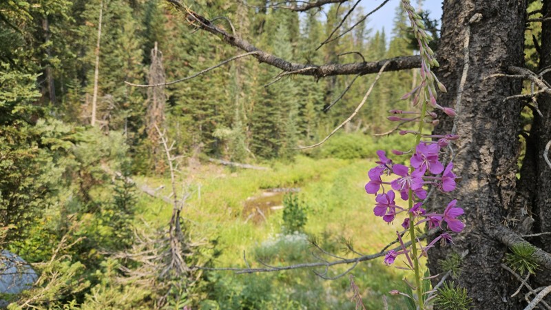
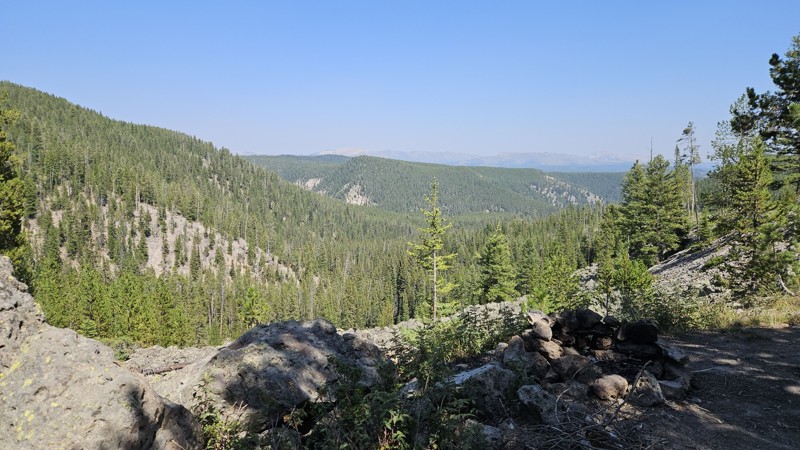
With the areas growing popularity and increased traffic, there's been a noticeable uptick in summer dispersed campers along this trail. The lower logged area from a couple of years ago now has multipl...
Cory Wooldridge
Official Crew
No Rating
Open
Visited: 07/22/2026
There is a deeply rutted (~ 1 ft deep) section on the west flank that’s about 25-50’ long. Not easily passable in large vehicle with 11“ clearance.
K
KRG
Rated 3/5
Open
Visited: 07/15/2026
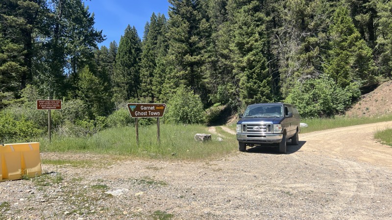
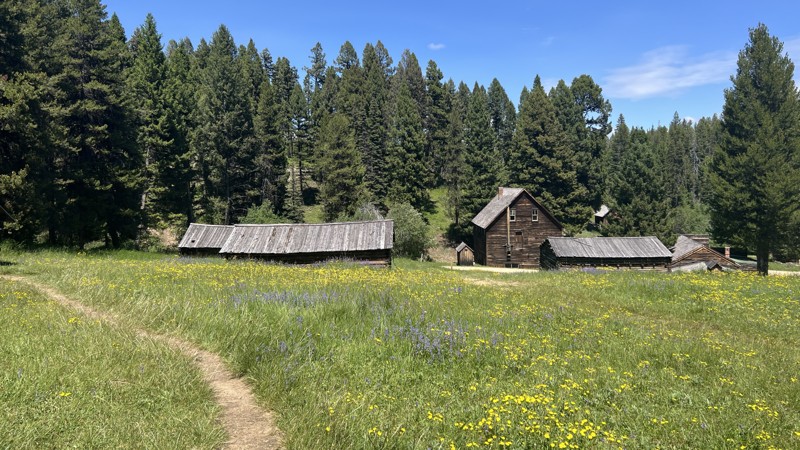
We ran this after we checked out Garnet. It wasn't a bad road, just a bit bumpy. I don't think a transfer case is absolutely mandatory, but due to the steep grades, I would recommend it. Technically s...

John
Official Crew
Rated 5/5
Open
Visited: 07/15/2026
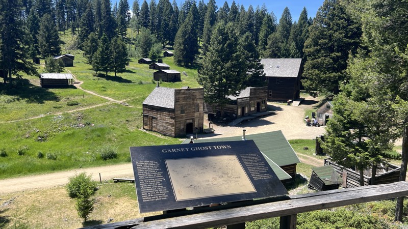
The road itself was rather meh, but the Garnet Ghost Town is quite the gem. This is a detour that is not to miss!
John
Official Crew
Rated 3/5
Open
Visited: 07/14/2026
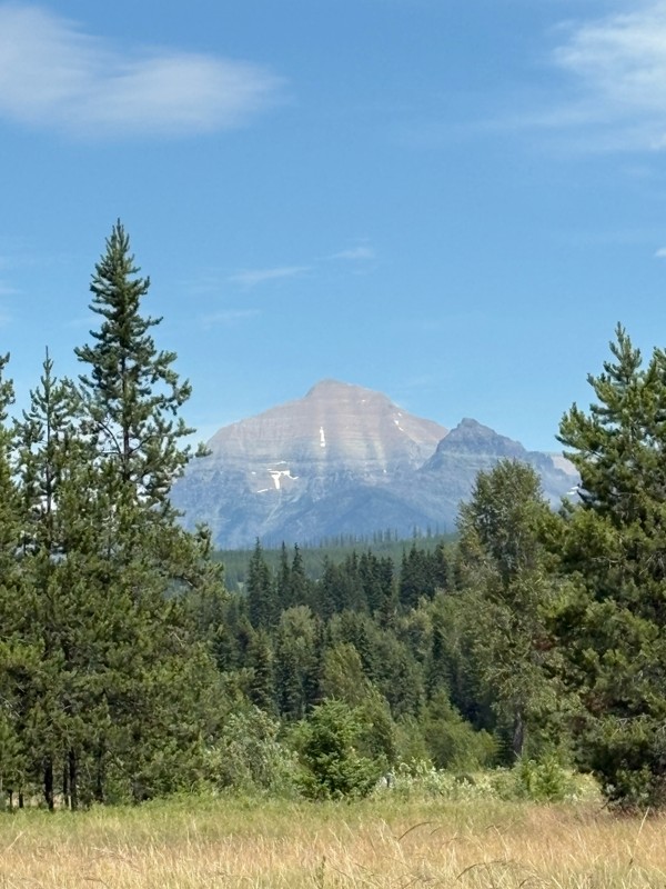
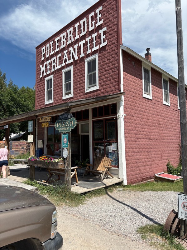
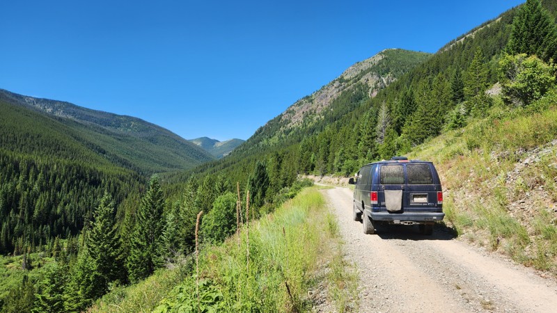
Nice and easy road, very little washboard as of this review. We only took it to Polebridge but very scenic. It does get a fair amount of traffic. There are a few campgrounds along the way as well as s...
Bryan Peterson
Rated 4/5
Open
Visited: 07/13/2026
This was a great connector road between the Kalispell area and Glacier/Polebridge. The trail was easy and scenic. There was a lot of bikepacking traffic, so we went slow to make sure to not dust them ...
John
Official Crew
Most Popular


Updated: 11/27/2023
Blacktail OHV Trail aka Blacktail-Wild Bill ORV Trail System
Open
/
Lakeside, Montana/
3.19 miles/
About an hour
Located near Kalispell, in the Flathead National Forest of northwest Montana, Blacktail OHV Trail is unlike any other trail you will find in a National Forest. Designated as a National Recreation Trail in 1979, it was not until the 2000's that members from two local 4-wheel drive clubs were given the "OK" to create numerous manmade "challenge features" along several forest roads that now make up the three legs of the Blacktail-Wild Bill ORV Trail system. This trail system is the northernmost Jeep Badge of Honor (BOH) trail and by far the most unique trail system in Montana. Jeep owners from across the country might visit this area mainly in summer, but don't be fooled. Even during the winter, this area is a 4-wheeler's paradise.

Updated: 06/08/2024
Wild Bill - Eagle Mountain Trail aka Blacktail-Wild Bill ORV Trail System
Open
/
Kila, Montana/
5.65 miles/
About 2 hours
Located west of Kalispell, in the Flathead National Forest of northwest Montana, Wild Bill-Eagle Mountain is part of a unique trail system, unlike any other trail system you will find in a National Forest. Designated as a National Recreation Trail in 1979, it was not until the 2000's that members from two local 4-wheel drive clubs were given the "OK" to create numerous manmade "challenge features" along several forest roads that now make up the three legs of the Blacktail-Wild Bill ORV Trail system. Obstacles range from natural rock ledges and deep mud holes to huge tractor tires and giant logs. Wild Bill-Eagle Mountain is the perfect place to take groups of both beginners and hard-core wheelers. Jeep owners from across the country might visit this area mainly in summer, but don't be fooled. Even during the winter, this area is an off-roader's playground. This trail system is the northernmost Jeep Badge of Honor (BOH) trail, and by far the most unique trail system Jeep has recognized.

Updated: 07/14/2024
Gravelly Range
Open
/
Cameron, Montana/
47.21 miles/
About 7 hours
From Red Rock Lakes National Wildlife Refuge, over the Gravelly Range and ending in the Axolotl Wilderness Study Area, Gravelly Range Road is all about the views and hunting access. This trail starts just north of the Red Rock Lakes 28 miles west of Interstate 15 near Monida Idaho, and 30 miles west of Henrys Lake and Highway 287. Beginning at 6670 feet, this trail gradually climbs for the next 30 miles to nearly 9600 feet elevation. This trail is mostly well above tree line offering spectacular views for hundreds of miles in all directions as you travel along the ridge of the Gravelly Range. Gravelly Range Road travels through the Beaverhead-Deerlodge National Forest, the largest of the national forests in Montana covering 3.35 million acres. This area is widely known for its hunting, but also offers views of the surrounding mountains and valleys and grassy fields covered in wildflowers for nearly 40 miles. If you have the day to spend on the trail, this is a fantastic route through the mountains with options in all directions for new destinations to explore. Bring the family, bring the pets, there are sights and smells for all to enjoy!

Updated: 06/07/2024
Wickes Road
Wickes, Montana
Located in the Boulder Hills, about 30 minutes south of Helena, Wickes Road takes travelers down a historic stretch of road showcasing the rich mining history and railroad history that helped build western Montana. The trail offers a rare opportunity to traverse a 130-plus-year-old abandoned train tunnel, pass through once booming mining towns, and traverse open grassy hillsides now populated chiefly by cattle. If making a trip between Butte and Helena, be sure to make a slight detour down a road that is definitely an adventure of a lifetime that won't be around forever.


Updated: 07/21/2026
North Fork Road
West Glacier, Montana
North Fork Road is a wide access road leading into Flathead National Forest, Glacier National Park, and multiple private properties. After the pavement ends, the road is primarily graded dirt with random sections of pavement, potholes, and oiled dirt. The road ends at a river fishing access site and a Canadian border crossing point which was closed when this trail was mapped.
There are campsites on the spur trails off North Fork Road, but none on the road itself.

Updated: 06/16/2023
Upper Dayton Creek OHV Trail aka Blacktail-Wild Bill ORV Trail System
Open
/
Lakeside, Montana/
4.37 miles/
About an hour
Located near Kalispell, in the Flathead National Forest of northwest Montana, Upper Dayton Creek OHV Trail is part of a unique trail system unlike any other one in a National Forest. Designated as a National Recreation Trail in 1979, it was not until the 2000's that members from two local 4-wheel drive clubs were given the "OK" to create numerous manmade "challenge features" along several forest roads that now make up the three legs of the Blacktail-Wild Bill ORV Trail system. This trail system is the northernmost Jeep Badge of Honor (BOH) trail, and by far the most unique trail system Jeep has recognized. Obstacles include natural rock ledges, deep machine cut holes, large tractor tires, and huge logs. Jeep owners from across the country might visit this area mainly in summer, but don't be fooled. Even during the winter, this area is an off-roader's fun house.

Updated: 11/14/2024
Elk Lake
West Yellowstone, Montana
Elk Lake is one of those out-of-the-way mountain lakes that many of us know for great fishing and some old-school social distancing. Hidden Lake and Elk Lake below are both spring-fed with crystal clear waters. Whether you're planning a wedding at Elk Lake Resort or want to escape the crowds and enjoy some fishing at these remote lakes, this trail has something for you.
The first part of this trail is located in the Red Rock Lakes National Wildlife Refuge. This area is popular for birders and photographers wanting to photograph the once nearly extinct Trumpeter Swans. The remaining half of this trail is in the Beaverhead-Deerlodge National Forest, the largest national forest in Montana, covering 3.35 million acres.

Updated: 06/16/2023
Original Blacktail OHV Trail
Open
/
Lakeside, Montana/
1.13 miles/
About 20 minutes
As the name suggests, Original Blacktail OHV Trail was the first trail used to create artificial challenge features in the Blacktail-Wildbill ORV Trail system. Rollercoaster-like hills and acrobatic bridges along this route will have you feeling more like you are at an amusement park than in a National Forest.
Located near Kalispell, in the Flathead National Forest and designated as a National Recreation Trail in 1979, it was not until the 2000's that members from two local 4-wheel drive clubs were given the "OK" to create numerous artificial challenge features along several forest roads that now make up the three legs of the Blacktail-Wild Bill ORV Trail system. Original Blacktail is the shortest trail in the ORV system, but combining this with all other trails in the area makes for a fantastic multi-day trip where you get to see the northernmost Jeep Badge of Honor (BOH) Trail.

Updated: 10/11/2024
Conklin Lake
Island Park, Montana
Conklin Lake Trail is one of those trails that hardly anyone knows with beautiful views of Hidden Lake and the surrounding mountains. This trail is located in the Beaverhead National Forest near the Continental Divide and the Montana Idaho border, and close to the west entrance to Yellowstone National Park. In July, the wildflowers are in full bloom, making the grassy fields full of color and swaying like ocean waves in the wind. Over the fields are snow-capped mountain peaks, birds, grasshoppers, and the famous Montana "Big Sky."

Updated: 07/07/2024
Ghost Village
West Yellowstone, Montana
An amazing geologic, as well as a tragic piece of history, lies just a half-hour drive northwest of West Yellowstone, Montana. Ghost Village came to be when the August 17, 1959 magnitude 7.1 earthquake hit this area, causing a massive landslide at the east end of the valley damming the Madison River. The water levels rose, creating what is now Earthquake Lake, causing these cabins to float. They floated nearly a mile west and when the water receded, set these cabins down to where they rest today. For those camping in the area during this tragic event, there was no way out. Seventeen of which remain buried below the rubble. Those that survived fled to a nearby location which is now called "Refugee Point."
If you are looking for more information, the Earthquake Lake Visitor Center is 5.5 miles further west on Highway 287 and has fantastic photos, videos, and documentation of the event. The memorial for those that lost their lives is also along a scenic hiking path above the visitor center.

Updated: 07/30/2026
Flathead Pass
Menard, Montana
If you live in Bozeman, Flathead Pass was probably your first trail in the area. Flathead Pass is a point-to-point trail that traverses across the Bridger Mountain Range. The summit has a good view down into the Gallatin Valley. Sunsets from the top are worth the climb. The pass is also the route for power lines to cross the Bridgers. At the summit, you can hear the electricity buzzing overhead.
The hardest obstacle is a short but deeply rutted climb about halfway to the summit. The rut crosses the trail at an angle, so lifting a wheel is possible. There is a lot of loose rock in this section. Flathead Pass can all be done in a stock 4x4, but it can easily take multiple attempts to pick the right line. The rest of the trail is uneven hard dirt with rocky sections. On the western side, the road is one vehicle wide but can accommodate a full-size truck. On the eastern side, the road is wide enough for vehicles to pass, and the road is much smoother. Typically, the direction of travel is to start on the west side and travel east.
The trail is nearly impassable in the winter, as snowdrifts build up in the two meadows near the top on the west side, and under these conditions can only be driven with a lot of digging or extreme ground clearance.

Updated: 05/20/2024
Hebgen Lake Road
West Yellowstone, Montana
This picturesque trail provides easy access to several camping areas and picnic areas along the shoreline of Hebgen Lake Reservoir. You can plan a full day with a picnic by the lake or take a ride along the shore for a few hours. The trail will, for sure, bring you a lot of enjoyable moments. At the time of Hebgen Dam's completion in 1915, Hebgen Lake Reservoir was the 7th largest reservoir in the world. This lake covers 6,500 acres and is just under 16 miles long and 4 miles in width. Hebgen Lake Road is located in the Custer Gallatin National Forest only 20 minutes west of West Yellowstone, Montana and the west entrance to Yellowstone National Park. Custer Gallatin National Forest is known as one of the most ecologically diverse landscapes in the region and covers more than 3.1 million acres.

Updated: 05/20/2024
Tepee Creek
West Yellowstone, Montana
Tepee Creek Trail is located in the Custer Gallatin National Forest just 10 minutes north of West Yellowstone and outside the boundary of Yellowstone National Park. Custer Gallatin National Forest is known as one of the most ecologically diverse landscapes in the region and covers more than 3.1 million acres. Tepee Creek Trail is located just 30 minutes south of Big Sky and 10 minutes north of West Yellowstone in the Gallatin National Forest, just outside of the Yellowstone National Park border. This trail is an excellent dirt road most of the summer and provides access to hiking trails and amazing views. Since this trail is not located within Yellowstone National Park dogs are allowed to come and enjoy the forest, beautiful creeks, and amazing views too along with everyone else in the family!

Updated: 06/16/2023
Wild Bill - Truman Creek
Open
/
Lakeside, Montana/
5.78 miles/
About an hour
Located in the Flathead National Forest, just south of Kila, Wild Bill-Truman Creek is a lesser know trail within the Blacktail-Wild Bill ORV trail system. This road is a leisurely drive through a narrow, thick forest. Its lack of popularity results in plenty of solitude, with all of the popular trails still within a stone's throw, reachable by one f the many connecting spurs. Use this road to connect the Wild Bill and Blacktail trailheads without running into big groups attempting to take on big obstacles.

Updated: 07/06/2024
Standard Creek
Cameron, Montana
Standard Creek Road is located in the Beaverhead-Deerlodge National Forest, the largest of the national forests in Montana covering 3.35 million acres. This trail is less than an hours drive from Ennis or West Yellowstone, and just under 2 hours from Big Sky Montana. The beautiful trail takes you up the mountain through woods, flower-filled picture-perfect meadows, and grassy fields. You have a great chance to encounter moose or deer on the way. There are a few creeks with singing water and several great campsites. The Black Butte Mountain at the end of the trail has snow year-round. Check it out!

Updated: 07/07/2024
Horse Butte Lookout
West Yellowstone, Montana
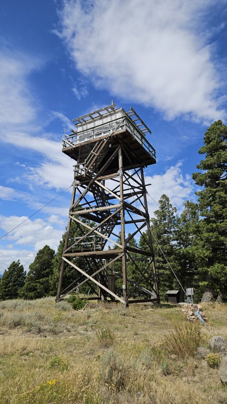
Horse Butte Overlook is located in the Custer Gallatin National Forest just 20 minutes north of West Yellowstone and outside the boundary of Yellowstone National Park. Custer Gallatin National Forest is known as one of the most ecologically diverse landscapes in the region and covers more than 3.1 million acres. At the top is a historic fire watchtower and a spectacular viewpoint of Hebgen Lake. This tower was constructed in 1953 and is 14 feet by 14 feet and 40 feet tall and was a live-in tower, how's that for small quarters?! There is also an earlier crow's nest lookout that was erected in the 1920s which is still there. At the top and the end of the trail, the elevation is 7,072 feet, over 500 feet above the valley below. There are picnic tables sheltered by the tall trees and an amazing 300-degree view. The road is rocky and narrow, with just enough room to let the occasional oncoming vehicle to pass. The views from the top are spectacular!

Updated: 03/30/2025
South Meadow Lake
McAllister, Montana
South Meadow Lake is a challenging out-and-back trail in the Tobacco Root Mountains. The trail consists of a packed dirt base covered with rocks, ranging from sparse large rocks in the dirt to entirely covering the trail. The most difficult obstacle is a rock field that takes up roughly the last half mile of the trail. A longer wheelbase vehicle, such as a crew cab short bed Tacoma on 33s, will likely bounce the frame off rocks in this section, especially on the way down the trail. The same vehicle on smaller than 33-inch tires would be at risk of getting high-centered in the rock field. Rock sliders and/or a locker are recommended. The majority of the trail is a one-vehicle-wide shelf road along the mountainside. About halfway up the trail, the ruins of the Missouri-Mckee Mill can be explored, although there is not much left of the structures. This trail was featured briefly in Motor Trend's Ultimate Adventure 2020.
Once past the rock field, the trail ends on the bank of the lake. There is a levee that can be driven across, and there are several primitive campsites on the lake's southeast end. The lake is usually great for fishing, and due to the difficulty of the trail, it is unusual to have to share the area with another group. Aside from the campsites at the lake, there is also an area near the mill ruins with campsites. Because the valley looks southeast, the sunrise from the lakeside campsite is spectacular.
The Tobacco Root Mountains are known for bear and big cat sightings, so be prepared for an encounter. Properly store your food overnight.

Updated: 05/20/2024
West Fork Madison
Cameron, Montana
West Fork Madison is located in the Beaverhead-Deerlodge National Forest, the largest of the national forests in Montana covering 3.35 million acres. This trail is less than an hours drive from Ennis or West Yellowstone, and just under 2 hours from Big Sky Montana. This trail takes you alongside the Madison River until Waypoint 6. The road turns and follows the West Fork Madison River to the end of the trail for the next 8 miles through hills, forest, and surrounding mountain views. If looking for a campsite near the river, this is the trail to check out. The views are stunning. Willows line the river and stream banks, turning yellow and gold before the trees in mid to late August, the first reminder that fall is just around the corner. The river tumble can be heard almost everywhere along this trail. Wild raspberries and strawberries are scattered through the trail and wildflowers are everywhere. The trail is pretty popular, so be ready for the occasional traffic.

Updated: 09/04/2022
Medicine Lodge Road
Dell, Montana
Medicine Lodge Road is located just south of Dillon, Montana. This trail is the second leg of the Big Sheep Creek Backcountry Byway, a remote and mostly undisturbed treasure in the southwestern corner of Montana hidden by the Rocky Mountains. After passing through the steep Rocky Mountain bluffs, this trail travels through the vast Medicine Lodge Valley. It's thought that this trail was once part of the Bannack Road, as The Old Bannack Road splits off at Waypoint 8. Many miners and settlers passed through these valleys and mountains looking to fulfill their dreams. In many ways, this mostly undisturbed area offers modern-day explorers to experience many of the sights and wonders just the same.

Updated: 07/13/2024
Antelope Basin
Island Park, Montana
Antelope Basin is located less than an hour from West Yellowstone, Montana, and the west entrance to Yellowstone National Park in the Beaverhead-Deerlodge National Forest. This is the largest of the national forests in Montana, covering 3.35 million acres. This mellow trail gently climbs over the mountains, crosses through the valleys, and passes a couple of small lakes and streams. Once the crisp, fresh fall air settles in, a lot of things change in these mountains. There are less traffic and people, and the skies turn an even deeper blue between the wispy clouds. Cattle drives are frequently seen along the roads and highways; the only traffic jams you will encounter this time of year. The colors of the Aspens high on the mountains and the willows along the streams and rivers begin to change to a brilliant gold shimmer in the passing sun. Like mountain views, trees, and wildlife? There are many trails in this wide-open country for all to enjoy.

Updated: 07/01/2024
Contour Road
West Yellowstone, Montana
Contour Road is located in the Custer Gallatin National Forest just 20 minutes west of West Yellowstone, Montana, and the west entrance to Yellowstone National Park. Custer Gallatin National Forest is one of the most ecologically diverse landscapes in the region and covers more than 3.1 million acres. This road does as the name implies, climbing nearly 1500 feet along the mountain's contours for six miles. Contour Road ends near the 7900 feet elevation mark and offers incredible views from 1500 feet above Hebgen Lake, the highest vantage point of Hebgen Lake accessible by vehicle. Contour Road is not often traveled. The only noises you're going to hear up high on this trail are the bugling of elk, the screeching of birds, and the wind whispering through the treetops.
Updated: 03/10/2026
Big Bear Lake Road
Open
/
Gallatin Gateway, Montana/
3.37 miles/
About an hour
Big Bear Lake Road is a short but rewarding high-clearance 4WD trail in the Gallatin Range south of Bozeman that offers a rocky, steadily climbing route through the forest to a peaceful alpine lake. Though not especially long, the trail feels more rugged than a typical forest road, with rougher, steeper sections as you gain elevation, making it a good fit for drivers looking for a moderate off-road outing with a scenic destination. At the halfway point, Big Bear Lake provides opportunities for fishing, relaxing by the shoreline, camping at nearby dispersed sites, and enjoying quiet mountain scenery, making this a great choice for a half-day or overnight adventure during the summer and fall seasons.

Updated: 09/04/2022
Big Sheep Creek Road
Dell, Montana
Big Sheep Creek Road, also known as the Big Sheep Creek Backcountry Byway, is a scenic drive in southwestern Montana. This modern-day gravel road follows the springwater fed Big Sheep Creek with its many twists and turns. Above the road and the creek is the rugged and undisturbed Tendoy Mountains, with their steep rocky banks and unique geological formations. This backcountry byway is 50 miles of remote, virtually untouched wilderness hidden by the Rocky Mountains just south of Dillon, Montana. Experience one of the trails that the early settlers and travelers out looking to strike it rich in the goldfields traveled, nearly the same as it was over a century ago. Big Sheep Creek road is an excellent adventure for the whole family.
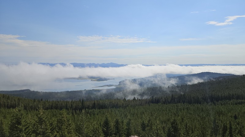
Updated: 09/15/2026
West Fork Denny Creek
West Yellowstone, Montana
West Fork Denny Creek Trail is located near West Yellowstone, Montana, in the Custer Gallatin National Forest. This trail offers access to the popular hiking trail to Lionshead Peak, six excellent campsites just feet from the West Fork Denny Creek, and the highest vantage point accessible by a stock SUV overlooking Yellowstone National Park and Hebgen Lake. This area offers something for everyone, including views of the stars without the city lights, stunning wildflowers, fresh mountain air, and crystal clear streams.

Upgrade your Membership
Unlock all of the details on every Trail Guide and Scout Route.
Start a 7-day Free TrialCommunity
Partners

