


By clicking "ACCEPT", you agree to be the terms and conditions of each policy linked to above. You also agree to the storing of cookies on your device to facilitate the operation and functionality of our site, enhance and customize your user experience, and to analyze how our site is used.
Michigan Off-Road Trails
25
Total Trail Guides 14

251
Detailed Waypoints 104
Try a Free 7-Day Trial and unlock it all
Start a Free Trial Most Recent Trail Reviews
Rated 4/5
Open
Visited: 08/26/2026
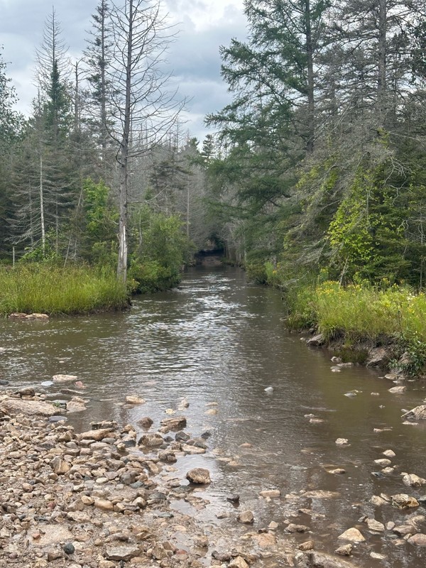
As others have stated, the star is the long water crossing which was a blast. Everything past waypoint 6 is a graded dirt road due to logging, so pretty easy. Took about 15 minutes to run through this...


Daniel Adler
Rated 3/5
Open
Visited: 08/26/2026
Ran this solo this morning in a light sprinkle and other than the MU Nemesis obstacle, there wasn’t much to be challenged. Mix of rocky sections and usual forest trails. Took about 20 minutes to get t...
Daniel Adler
Rated 4/5
Open
Visited: 08/25/2026
Pretty spot on rating. Lift and bigger tires help, but not necessary.

Matt Berg
No Rating
Open
Visited: 08/11/2026
Per the MVUM, the trail is seasonally open. As always, check current fire restrictions/closures before venturing out.

Trails Offroad
Official Crew
No Rating
Open
Visited: 08/11/2026
Per the MVUM, the trail is seasonally open. As always, check current fire restrictions/closures before venturing out.
Trails Offroad
Official Crew
No Rating
Open
Visited: 08/11/2026
Per the MVUM, the trail is seasonally open. As always, check current fire restrictions/closures before venturing out.
Trails Offroad
Official Crew
No Rating
Open
Visited: 08/11/2026
Per the MVUM, the trail is seasonally open. As always, check current fire restrictions/closures before venturing out.
Trails Offroad
Official Crew
No Rating
Open
Visited: 08/11/2026
Per the MVUM, the trail is seasonally open. As always, check current fire restrictions/closures before venturing out.
Trails Offroad
Official Crew
No Rating
Open
Visited: 08/11/2026
Per the MVUM, the trail is seasonally open. As always, check current fire restrictions/closures before venturing out.
Trails Offroad
Official Crew
No Rating
Open
Visited: 08/11/2026
Per the MVUM, the trail is seasonally open. As always, check current fire restrictions/closures before venturing out.
Trails Offroad
Official Crew
No Rating
Open
Visited: 08/11/2026
Per the MVUM, the trail is seasonally open. As always, check current fire restrictions/closures before venturing out.
Trails Offroad
Official Crew
No Rating
Open
Visited: 08/11/2026
Per the MVUM, the trail is seasonally open. As always, check current fire restrictions/closures before venturing out.
Trails Offroad
Official Crew
No Rating
Open
Visited: 08/11/2026
Per the MVUM, the trail is seasonally open. As always, check current fire restrictions/closures before venturing out.
Trails Offroad
Official Crew
No Rating
Open
Visited: 08/11/2026
Per the MVUM, the trail is seasonally open. As always, check current fire restrictions/closures before venturing out.
Trails Offroad
Official Crew
No Rating
Open
Visited: 07/29/2026
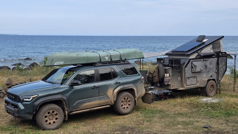
The trail seems to be doable for any type of vehicle, weather dependent. We saw a Ford Fiesta and many regular Subarus out there.
The last few miles after the turn are a moon scape with 30+ vehicle s...


This Tedious Path
Rated 4/5
Open
Visited: 07/22/2026
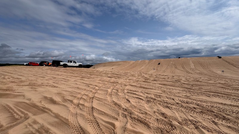
Silver lake is always fun and with enough people around always a little nerve wracking. I give EVERYONE lots of room because you never know who is paying attention to their surroundings. With that in ...


Colin Cole
Official Crew
No Rating
Open
Visited: 06/26/2026
According to Agency date data, this trail should be open for the season.
Trails Offroad
Official Crew
No Rating
Open
Visited: 06/26/2026
According to MVUM data, this trail should be open for the season.
Trails Offroad
Official Crew
No Rating
Open
Visited: 06/26/2026
According to MVUM data, this trail should be open for the season.
Trails Offroad
Official Crew
Rated 4/5
Open
Visited: 06/19/2026
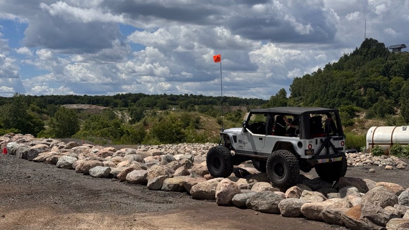
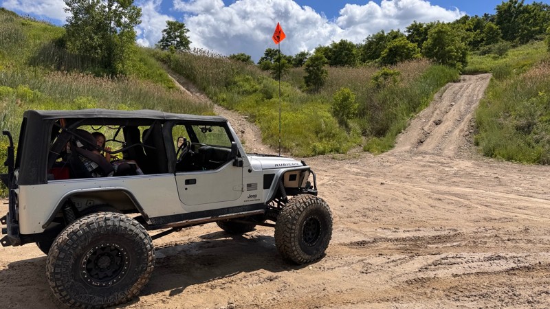
Every time I visit Holly Oaks it is a little bit better! The main loop itself is still easy to navigate so long as you have 4wd but there are steep climbs and descent to explore, narrow paths through ...
Colin Cole
Official Crew
Rated 5/5
Open
Visited: 05/24/2026
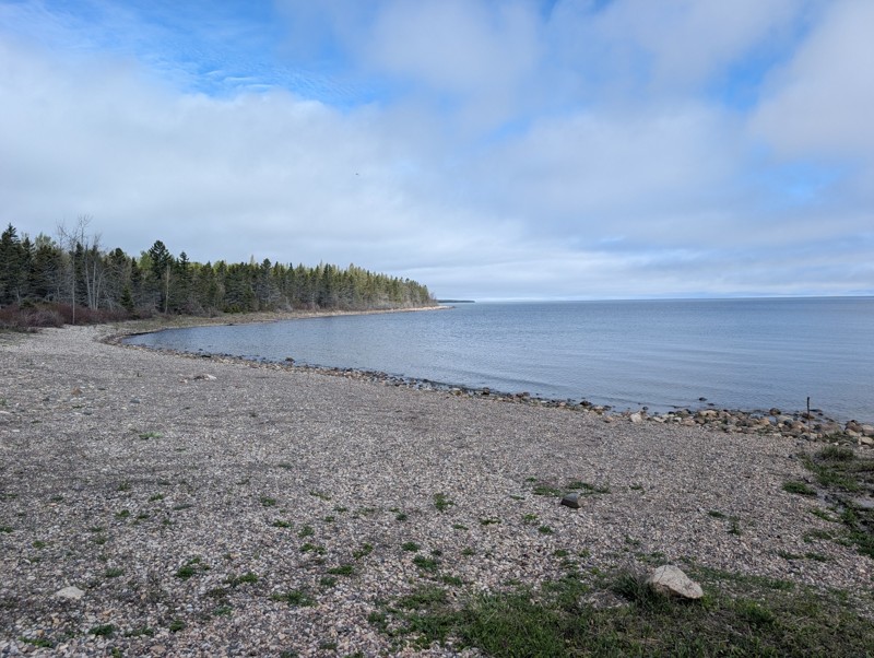
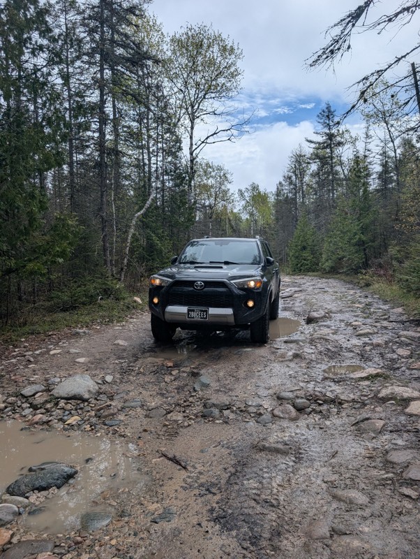
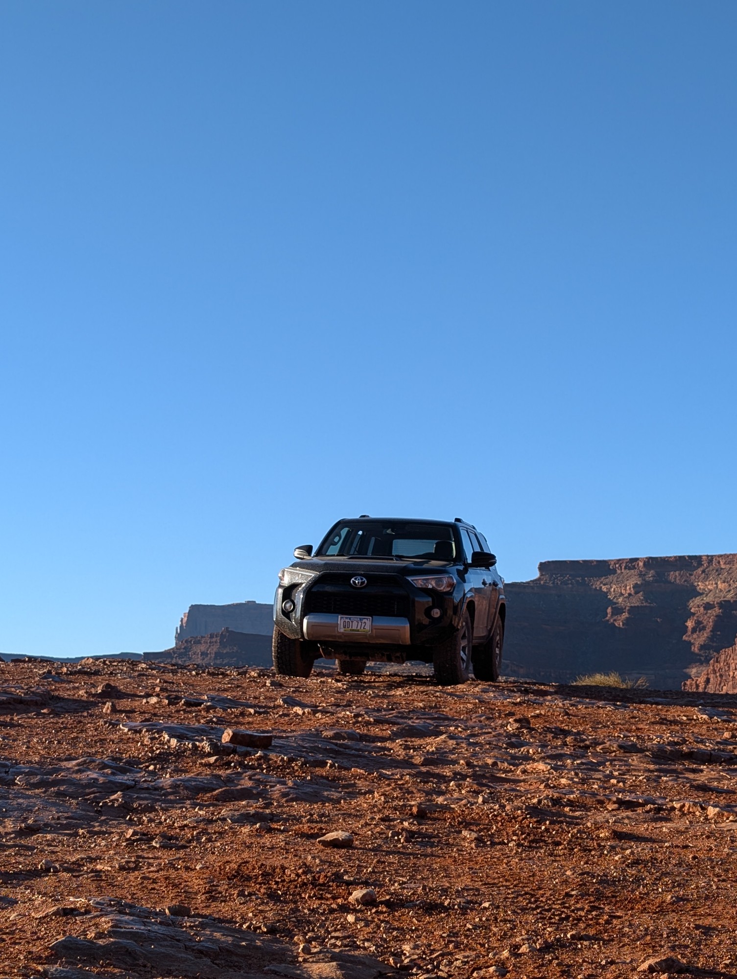
This was a fun trail and really scenic. Would highly recommend. Only one portion of the steps have been "altered" but you still have a rock field to navigate after. I still wouldn't rate as an easy tr...
Blake Ealy
Rated 3/5
Open
Visited: 05/24/2026
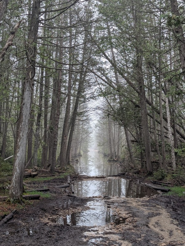
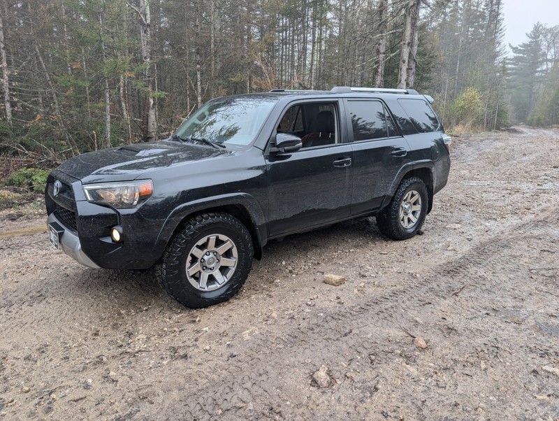
Ran trail from north to south. First couple hundred yards has some rocks. They are logging next to the rest of the trail so the road has been graded. After much deliberation in my head, I did the wate...
Blake Ealy
No Rating
Open
Visited: 05/24/2026
Completed early in the morning and I was the only person on the trail. I took the easiest route (far right) for Nemesis obstacle. Wavepoint 10 was the hardest part for me. Not sure if I could of found...
Blake Ealy
Rated 5/5
Open
Visited: 05/23/2026
Easy trail with a very cool lighthouse at the end. It was open and had access to climb up to the top which was a nice surprise.
Blake Ealy
No Rating
Seasonal Closure
Visited: 03/14/2026
According to this trails management agency, the trail is likely closed for the season.
You can reach out to the agency for more details.
Be sure to leave us a report and let us know ...
Trails Offroad
Official Crew
Rated 4/5
Open
Visited: 01/31/2026
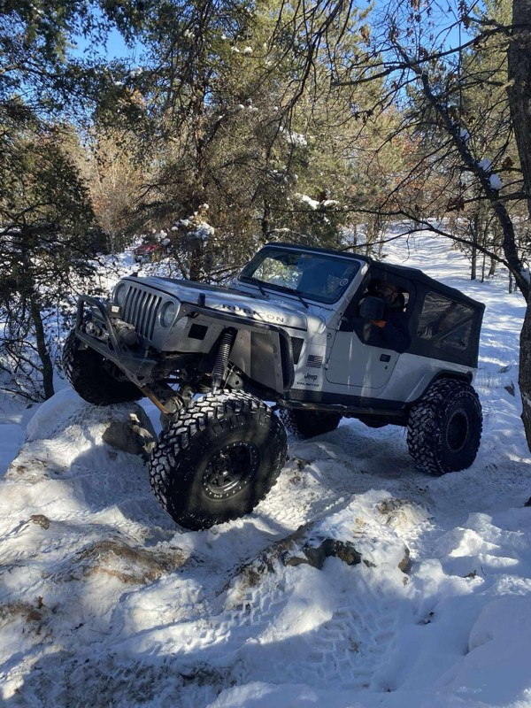
I ran parts of this trail with a group during the Great Lakes Four Wheel Drive Association's Winter Blast event. The trail itself is pretty rough with whoops and alternating chop but airing down and ...

Colin Cole
Official Crew
No Rating
Seasonal Closure
Visited: 11/30/2025
According to this trails management agency, the trail is likely closed for the season.
You can reach out to the agency for more details.
Be sure to leave us a report and let us know ...
Trails Offroad
Official Crew
No Rating
Seasonal Closure
Visited: 11/30/2025
According to this trails management agency, the trail is likely closed for the season.
You can reach out to the agency for more details.
Be sure to leave us a report and let us know ...
Trails Offroad
Official Crew
No Rating
Seasonal Closure
Visited: 11/30/2025
According to this trails management agency, the trail is likely closed for the season.
You can reach out to the agency for more details.
Be sure to leave us a report and let us know ...
Trails Offroad
Official Crew
No Rating
Seasonal Closure
Visited: 11/30/2025
According to this trails management agency, the trail is likely closed for the season.
You can reach out to the agency for more details.
Be sure to leave us a report and let us know ...
Trails Offroad
Official Crew
No Rating
Seasonal Closure
Visited: 11/30/2025
According to this trails management agency, the trail is likely closed for the season.
You can reach out to the agency for more details.
Be sure to leave us a report and let us know ...
Trails Offroad
Official Crew
No Rating
Seasonal Closure
Visited: 11/30/2025
According to this trails management agency, the trail is likely closed for the season.
You can reach out to the agency for more details.
Be sure to leave us a report and let us know ...
Trails Offroad
Official Crew
No Rating
Seasonal Closure
Visited: 10/31/2025
According to this trails management agency, the trail is likely closed for the season.
You can reach out to the agency for more details.
Be sure to leave us a report and let us know ...
Trails Offroad
Official Crew
No Rating
Seasonal Closure
Visited: 10/31/2025
According to this trails management agency, the trail is likely closed for the season.
You can reach out to the agency for more details.
Be sure to leave us a report and let us know ...
Trails Offroad
Official Crew
No Rating
Seasonal Closure
Visited: 10/31/2025
According to this trails management agency, the trail is likely closed for the season.
You can reach out to the agency for more details.
Be sure to leave us a report and let us know ...
Trails Offroad
Official Crew
No Rating
Seasonal Closure
Visited: 10/31/2025
According to this trails management agency, the trail is likely closed for the season.
You can reach out to the agency for more details.
Be sure to leave us a report and let us know ...
Trails Offroad
Official Crew
No Rating
Seasonal Closure
Visited: 10/31/2025
According to this trails management agency, the trail is likely closed for the season.
You can reach out to the agency for more details.
Be sure to leave us a report and let us know ...
Trails Offroad
Official Crew
No Rating
Seasonal Closure
Visited: 10/31/2025
According to this trails management agency, the trail is likely closed for the season.
You can reach out to the agency for more details.
Be sure to leave us a report and let us know ...
Trails Offroad
Official Crew
No Rating
Seasonal Closure
Visited: 10/15/2025
According to this trails management agency, the trail is likely closed for the season.
You can reach out to the agency for more details.
Be sure to leave us a report and let us know ...
Trails Offroad
Official Crew
Rated 5/5
Open
Visited: 10/12/2025
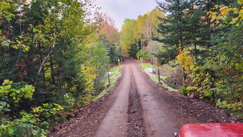
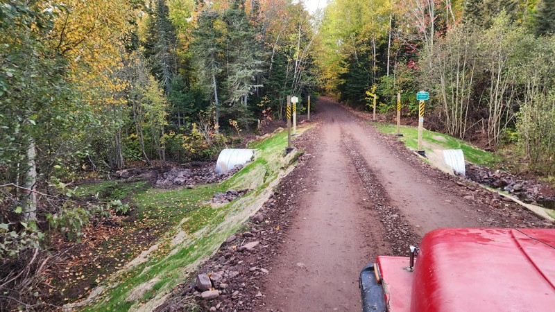
Awesome trail, been on it a few times and still love the views at the end. Recently the main water crossing has been replaced by a land bridge thing. I've added pictures of the new construction.
LL
Liam Lafferty
No Rating
Open
Visited: 09/27/2025
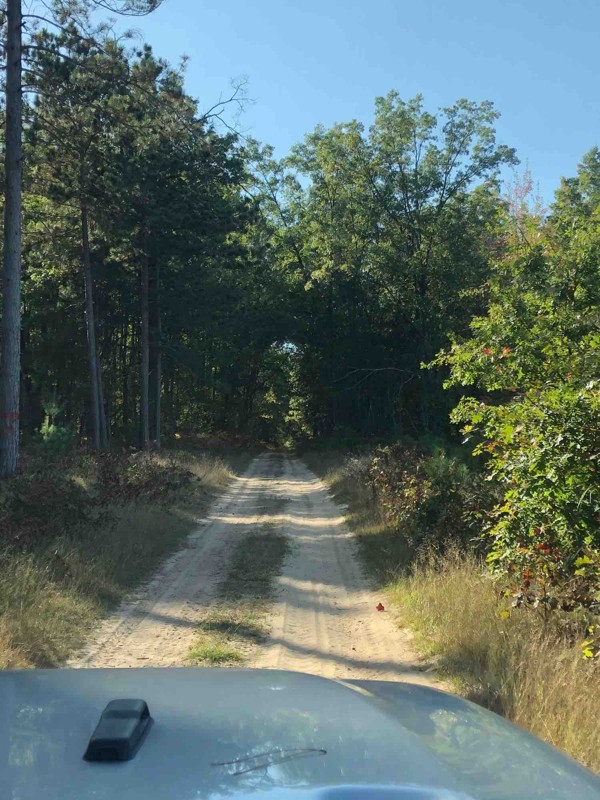
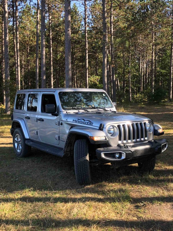
The trail is very nice and sandy. Family and I really enjoyed the time there. Unfortunately we didn’t see any other Wrangler or Broncos, but the trail was full of ATV vehicles. They were very friendly...

Klaus
Rated 5/5
Open
Visited: 08/29/2025
It as a beautiful trail. Just switch your 4x4 to sand and mud at times. You’ll love the light house. I’d go not in a weekend. The parking lot for the lighthouse is crowded..
LC
Lisa Carlson Ingersoll
No Rating
Open
Visited: 08/02/2025
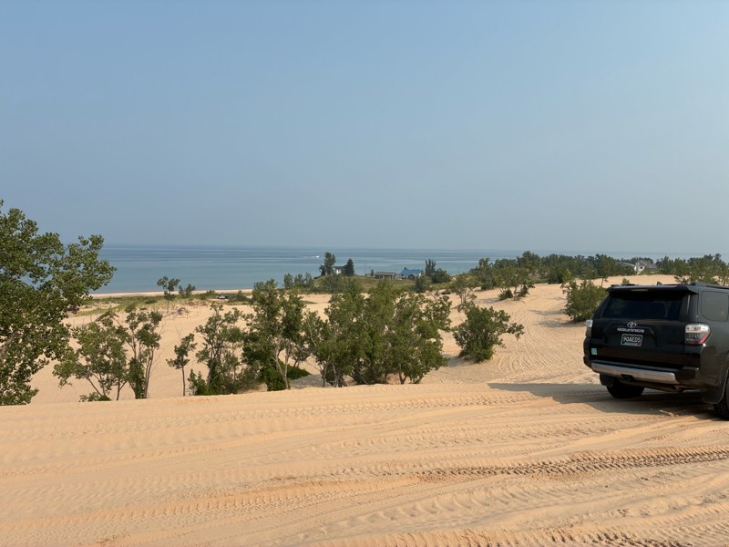
I went to Silverlake for the Ford Bronco 60th anniversary birthday bash, and rally. And what a great time it was. This facility is normally really busy on the weekends, but because of our group funct...


Gregg Easterbrook
No Rating
Open
Visited: 07/12/2025
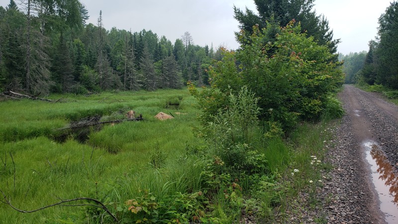
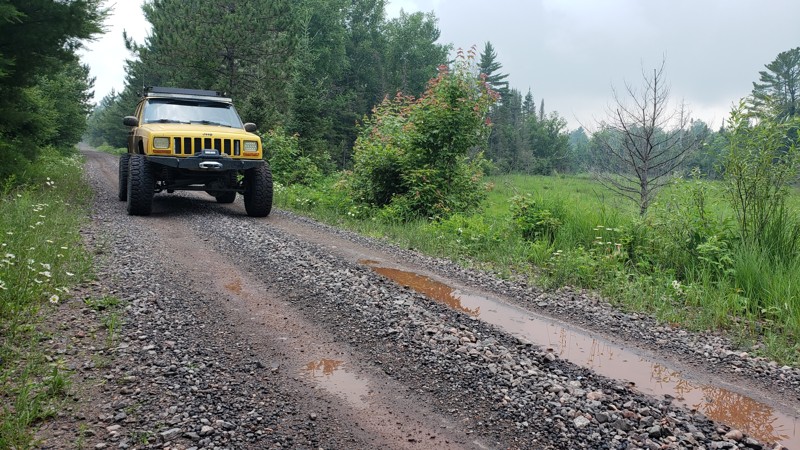
The trail was easy and well-maintained, with a smooth crushed limestone surface that held up well even after recent rain, just a few small puddles along the way. It’s a great route if you're looking t...

Eric Randle
Official Crew
Rated 2/5
Open
Visited: 07/11/2025
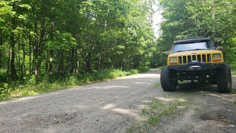
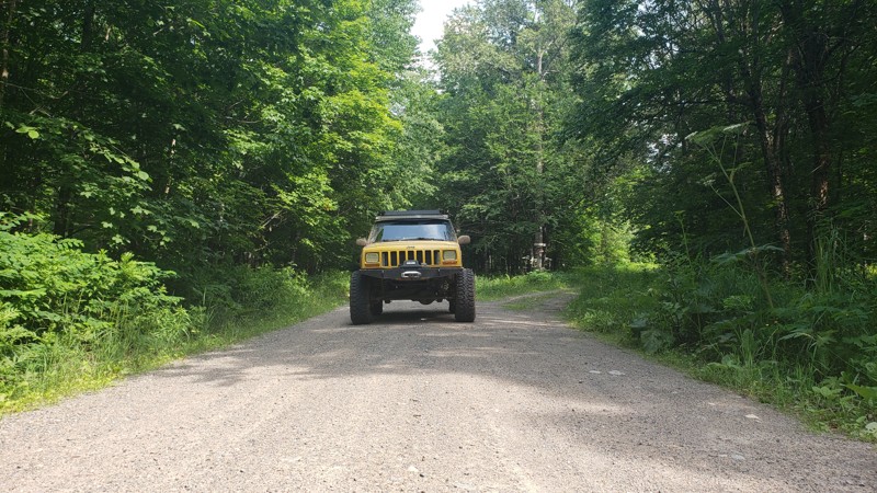
When we drove this road, the weather couldn’t have been better; partly cloudy skies made for some stunning views, especially at the water crossings. One highlight was spotting a beaver dam from a brid...
Eric Randle
Official Crew
Rated 3/5
Open
Visited: 07/11/2025
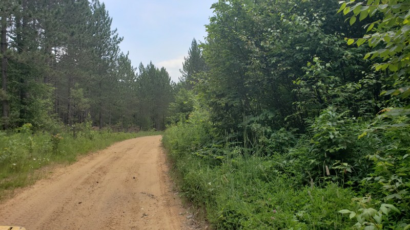
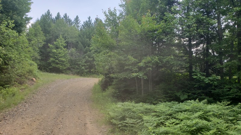
We had great weather during our ride, and the trail was dry and in good condition. However, it was clear from the ruts and erosion in certain areas that this route could be much more challenging after...
Eric Randle
Official Crew
Rated 2/5
Open
Visited: 07/11/2025
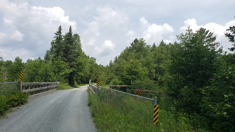
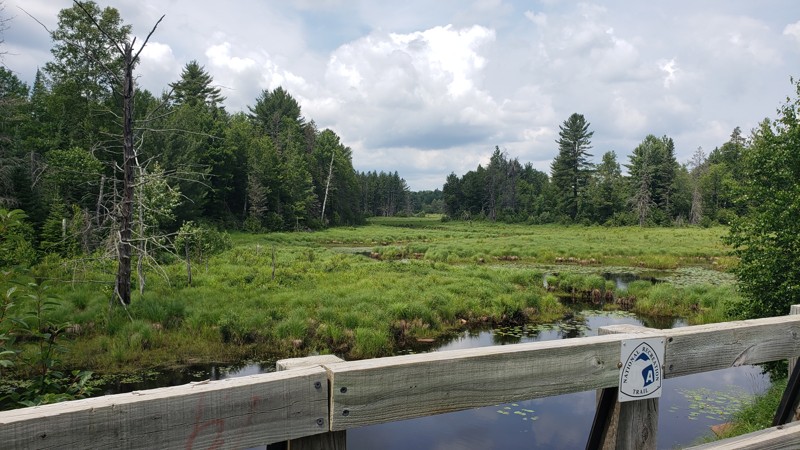
We started this trail in Republic and followed it north to Champion, riding a section of Michigan’s ORV Route C. The trail was smooth, well-maintained, and easy-going for the first half, with nice vie...
Eric Randle
Official Crew
Rated 2/5
Open
Visited: 07/09/2025
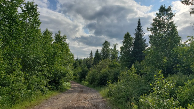
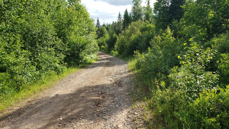
New DNR Road was a pretty easy drive overall. There were a few muddy spots and one section that was close to being washed out, but still passable with a high-clearance vehicle. There’s a small bridge ...
Eric Randle
Official Crew
Rated 2/5
Open
Visited: 07/09/2025
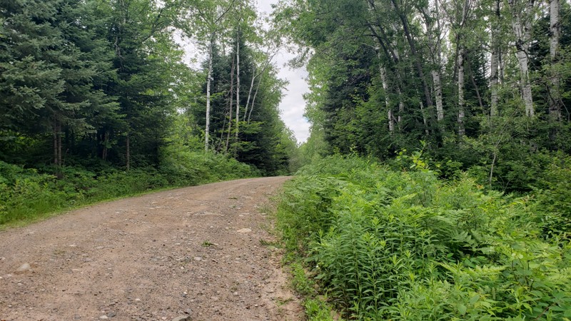
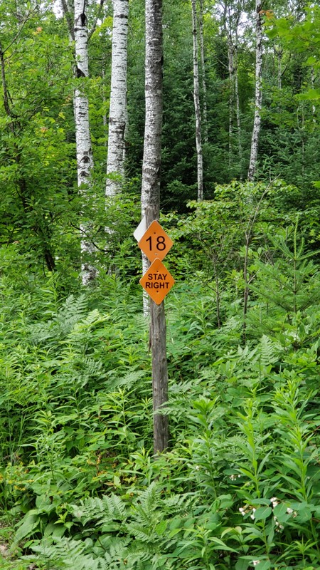
Camp 2 Road is a mellow forest trail that runs through the Crystal Falls State Forest, offering a scenic ride through dense woods and wildflowers. It’s mostly gravel with some muddy patches, puddles, ...
Eric Randle
Official Crew
Rated 2/5
Open
Visited: 07/09/2025
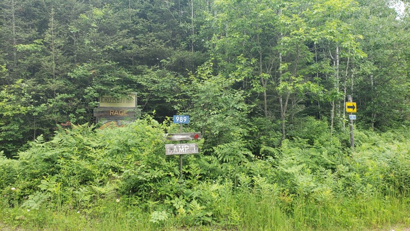
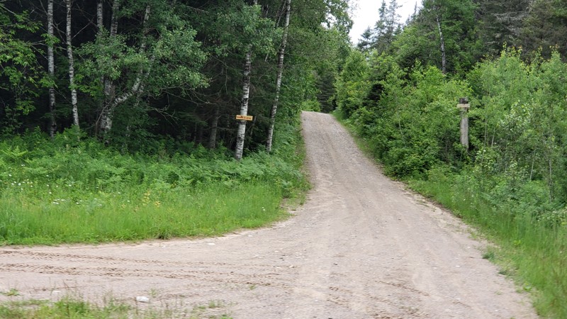
Camp One Road is a quiet forest road that winds through the woods in the Crystal Falls State Forest. It’s not a tough drive, but recent rain has left a few washouts and plenty of puddles to splash thr...
Eric Randle
Official Crew
Most Popular

Updated: 10/15/2024
FR 3210
Basswood, Michigan
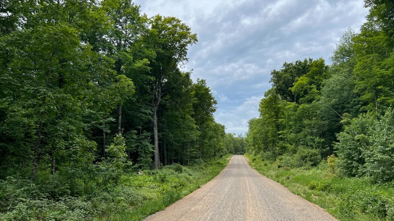
A wide, smooth gravel road, FR 3210, passes through an open, visually expansive forest. It travels along a private nature preserve and provides access to other roads to the west. Evidence of logging operations can be seen along the drive. No real camping opportunities.
Updated: 10/15/2024
Dick
Cordell, Michigan
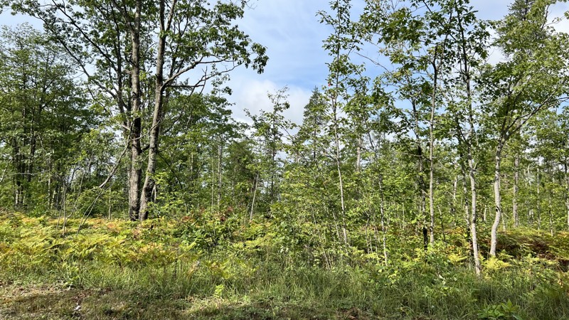
Dick is a sandy gravel road that seems to drain well after rain. The trail mixes thick forest walls on each side of the road to open clear-cut areas. A few small camps can be found in the areas of other trailheads. Camping is also available at the Solider Lake Campground, which must be reserved via recreation.gov.
Updated: 10/15/2024
East Center Firelane Trail
Bentley, Michigan
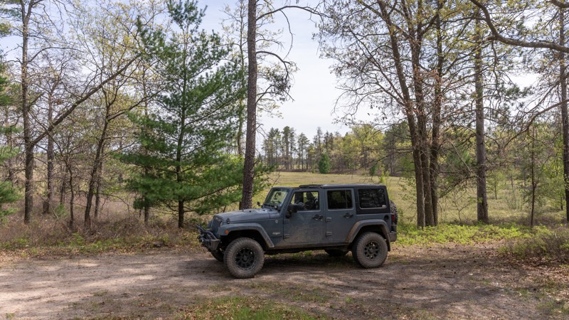
East Center Firelane Trail is an easy, straight-through road that meanders along the edge of the Bentley Marsh, a seasonal destination for thousands of migratory water birds.
Depending on the season, this trail is mostly dirt with sandy sections or shallow mud. Countless trails and two tracks connect with this road.
There are dozens of dispersed camping sites, including secluded peninsula spots overlooking the marsh. An open, flat campsite for multiple rigs can be found at 43.99013, -84.18078
Updated: 08/11/2026
Dowling Creek
Hoxeyville, Michigan
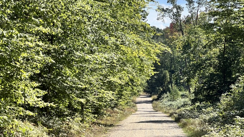
Dowling Creek, FR 5406, connects M55 and West 48 Road. You can choose to drive all of it, or for a more rugged feeling, connect to FR 7859. This road offers more open areas than others with a few campsites in those open areas. Open 4/1 - 11/30.
Updated: 10/15/2024
5031
Harrietta, Michigan
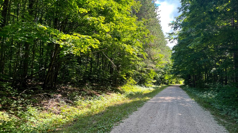
In the north, 5031 begins where 9784 terminates. The gravel trail passes through patches of dense woods and open areas. There's one small campsie at the junction with one of the side roads. The side roads appear to be more trails than roads. At its southern end, 5031 terminates with South 15 ½ Road, where you can turn south to catch West 30 ¼ Road to continue south into the forest
Updated: 08/11/2026
Round About - Rocks and Valleys
Hatton, Michigan
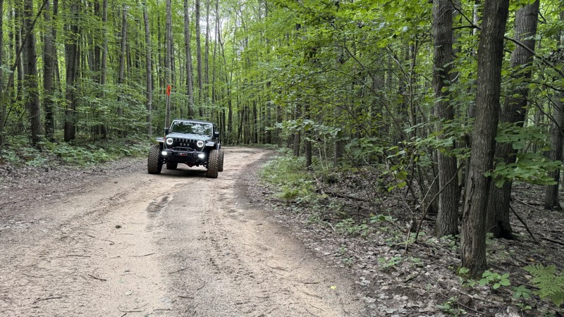
The aptly named Round About trail is the best way to move quickly around Rocks and Valleys offroad park. The trail acts as a connector to both open scramble areas and the other trails of all challenge levels. The surface is rough dirt and sand, typical for this part of Michigan, with a few small hills to climb. Depending on recent rainfall, there may be areas of standing water, and occasionally, fallen trees cross the path, although the park staff clears anything that would disrupt travel.
About Rocks and Valleys:
Rocks and Valleys is a privately owned offroad park in mid-Michigan. The park offers numerous trails for drivers of all skill levels across 200+ acres. The trails make use of the natural terrain, winding up and down densely wooded hillsides, with additional man-made challenges placed along the way. The park is typically open from April through October but does host occasional winter wheeling events. Rustic camping is available on the property for those wishing to stay very local. It is recommended to check the Rocks and Valleys website for the latest information on rates, hours, payment methods, and special events.
Updated: 10/15/2024
East Fire Lane Trail
Morres Junction, Michigan
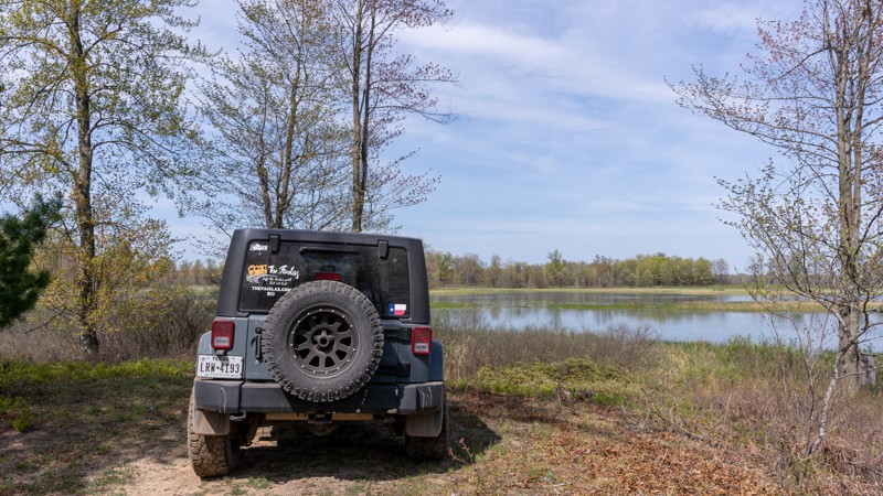
East Firelane Trail is a 2.6-mile trail deep inside the Gladwin State Forest. While not a difficult trail as it lacks obstacles, it is comprised primarily of soft sand and dirt that could turn into mud after heavy rain. There are also miles of unmarked trails throughout this section of the State Forest.
It offers many rustic camping opportunities overlooking marshland or hidden in the forest. A camping spot with a great view can be found at 44.02622, -84.18108.
Updated: 10/15/2024
East Bump
Boon, Michigan
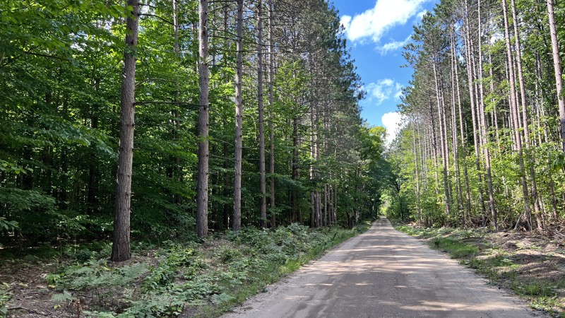
9943 also shares portions of 38 Road. Gravel and easy for anyone to drive. On the west end are private residences. No camping opportunities.
Updated: 10/15/2024
5334-9787-5410
Hoxeyville, Michigan
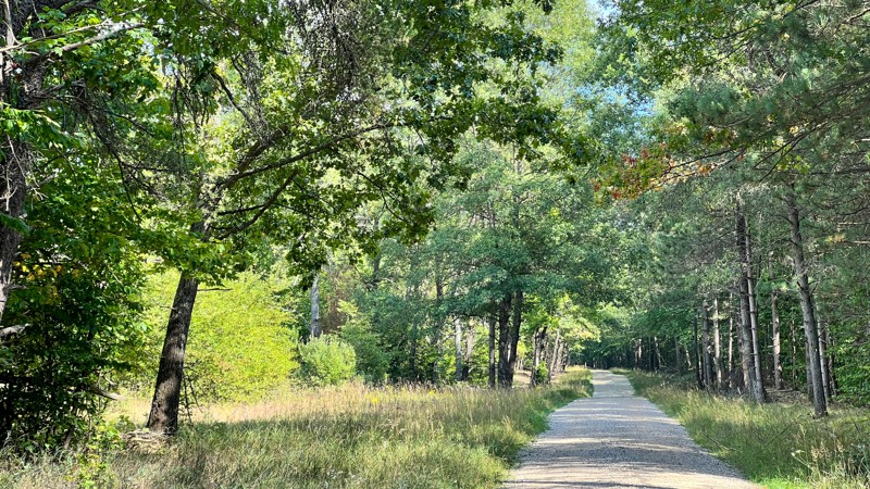
These three road numbers all join each other to make one continuous road. No real views as the road is mostly entirely treelined, with a few patches where open grass spaces exist. No dispersed camping opportunities but there is the Lincoln Bridge State Forest Campground nearby.
Updated: 10/15/2024
7859
Hoxeyville, Michigan
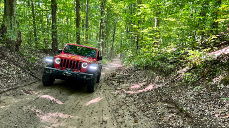
7859 is short, but it does offer a bit of variety after driving all the gravel roads in the area. While still easy, 7859 is more challenging than its neighboring maintained roads. Passenger cars would struggle on this one with its slight incline/decline, sand, and minor ruts. A hardwood tree canopy covers the trail. No pre-existing dispersed campsites.
Updated: 10/15/2024
Big Knob
Engadine, Michigan
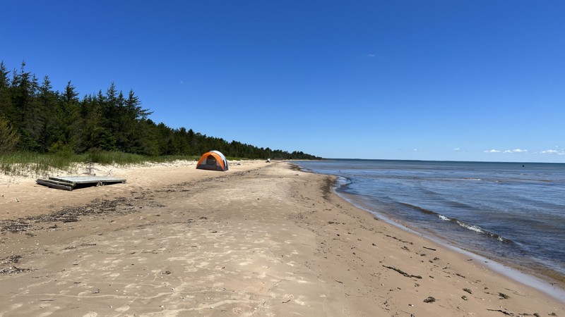
A simple dirt road leading to Big Knob Campground that is nestled along the shores of Lake Michigan. Big Knob has 23 first-come, first-serve campsites that you need the annual Recreation Passport to be able to use. Several sites were well spaced, while others were right next to their neighbors. The prime sites with the walking path to Lake Michigan are directly next to one another.
Updated: 10/15/2024
Hog Island Road
Epoufette, Michigan
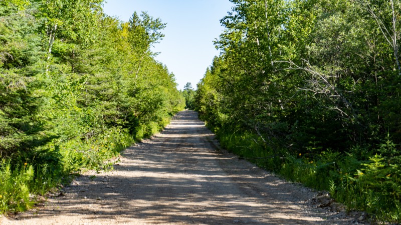
Hog Island Road runs north from the Lake Michigan Scenic Highway through the forest to the small community of Rexton, MI. This graded, gravel road is narrow for a two-lane road, but finding a place to pass on-coming traffic should not be a problem. A multitude of roads and trails are available in the area around Rexton, MI. Hog Island Road runs through a mixture of Michigan State Forest and private property. A Michigan ORV Route System permit is required for all vehicles on this road.
Updated: 10/15/2024
East Johnson Road
Ashley, Michigan
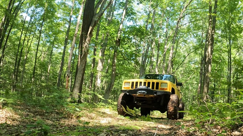
East Johnson Road is a short down-and-back trail that starts as a two-track with several mud puddles along the way. Some of the mudholes can be soft, so four-wheel drive might be needed. Once the two-track ends, the trail continues on into the forest alongside a swamp that dead ends. There's one spot that will require mud tires or momentum to get through. Depending on how recently it rained, a winch may be necessary.
Updated: 10/15/2024
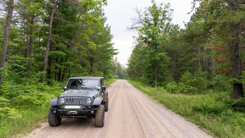
East Hughes Lake Road
Rose City, Michigan
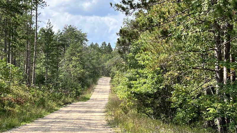
East Hughes Lake Road starts wide, well maintained, and well-used, with oil and gas infrastructure running alongside it. The gravel soon gives way to patches of rough dirt. The road eventually turns into more of a two-track before dead-ending at 1000. Standing water and mud are present during the wet season. Towards the east end, patches of clear cutting provide potential camping opportunities.
Updated: 10/15/2024
Pine River Road
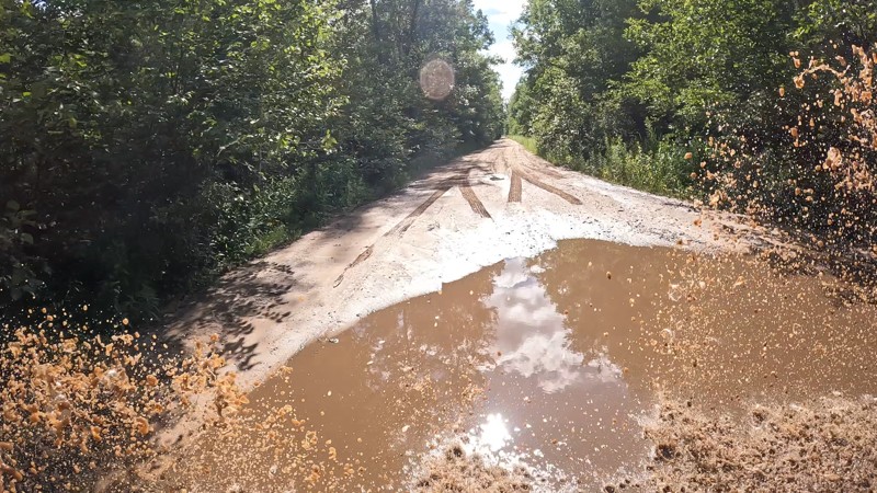
Barton City, Michigan
Pine River Road is an 8.5-mile trail that gives access to more than a dozen forest roads and two tracks in the Huron National Forest. There are sections of dense hardwood and evergreen forests, as well as open areas with young trees and scrub oaks recovering from logging activity.
At the northern section of the trail, a narrow bridge passes over the South Branch Pine River, known locally for its exceptional fishing.
No designated campsites are along the road, although dispersed camping is allowed in the national forest. There is also the Pine River Campground, a rustic forest service campground.
Updated: 10/15/2024
MudCreek Trail
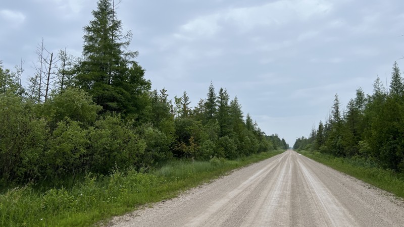
Alamando, Michigan
This trail is generally pretty easy, with the most difficult spots having a bypass. This trail runs from West Burns Road to West Baker Road through the Gladwin State Forest. It has plenty of muddy holes, some hill climbs, and sand pits that provide a variety of obstacles. No camping is found along the trail.
Updated: 10/15/2024
North Gould City (AJ Route)
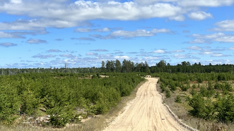
Gould City, Michigan
The Michigan DNR calls this the AJ Route. The road from the south starts as graded sand and dirt mix. Towards the north end, the trail turns to pavement, passing through a residential area. It connects with the A Route's most western portion that runs to De Tour on the far east end of the Penninsula. No camping. The trail is suitable for any car.
Updated: 10/15/2024
County Road 412
Deer Park, Michigan
County 412 technically terminates at Crisp Point Lighthouse. For our purposes, we have made the final seven miles to Crisp Point Lighthouse its own trail guide because one may choose to take County Road 500, which is more smooth than this road, or Two Hearted Landing, which is a true 4WD road. This section of County 412 can be bumpy and have sand built up at the intersections, which could surprise a low-clearance vehicle. The area surrounding the road is prime habitat for moose, so keep an eye out! Camping is available on any of the surrounding roads.
Updated: 08/11/2026
Old Lakeshore Drive East West
Emerson, Michigan
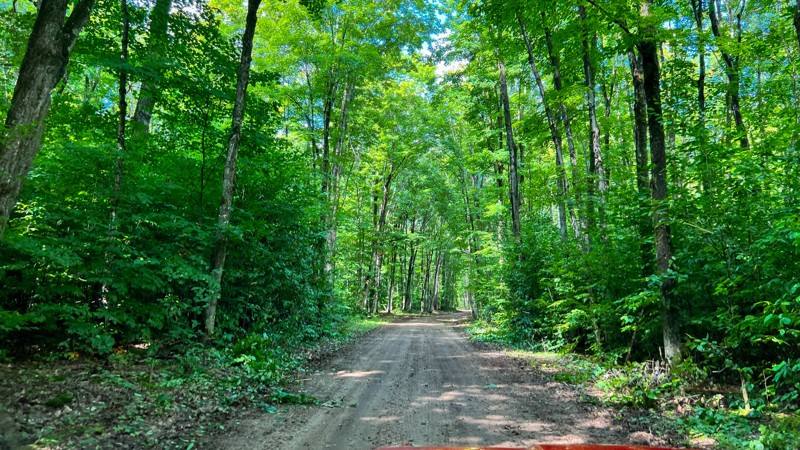
This easy hard, packed dirt road is suitable for any vehicle. Be aware of potholes along the way. It does travel through a few short sections of private property owned by timber companies. While you can hunt and fish on timber company land, camping requires permission.. Having that knowledge, there were a few spots deemed worthy for dispersed camping, but know where you are. Several side roads exist, but they are not on the MVUM and lead into private property, so make sure you see forest service road markers before turning down any side road. Open 4/1 through 11/30.
Updated: 04/08/2025
FS 6014
Lilley, Michigan
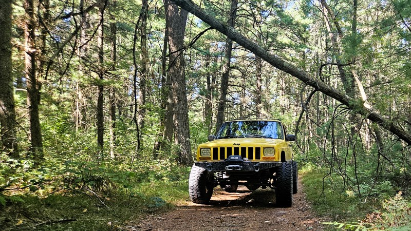
Located within the Manistee National Forest, Road 6014 is a two-mile out-and-back two-track consisting of compacted dirt with some light sand in places. The trail is easily traversable by any high clearance vehicle and is open year-round. This gentle trek through dense woodlands is a great trail to seek solitude and enjoy a day on the dirt. There are no camping areas along this road.
Updated: 10/15/2024
Fox Point
Gould City, Michigan
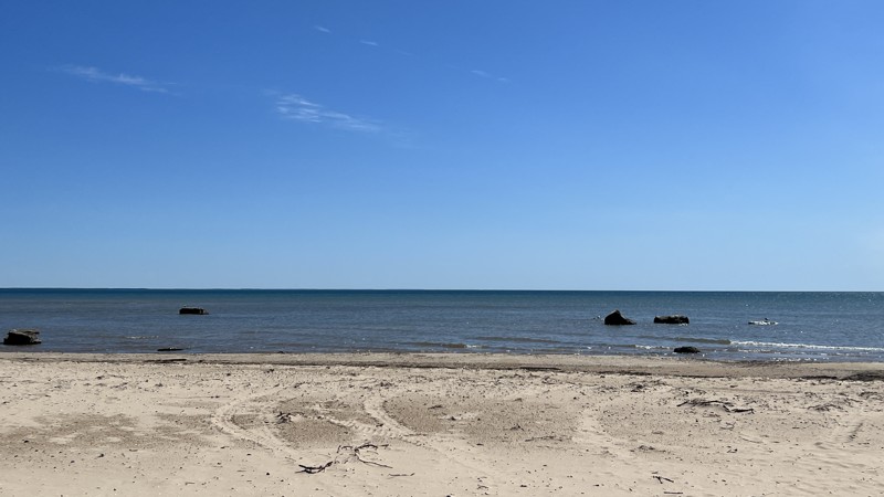
Fox Point is a quick out and back, providing walking access to the shores of Lake Michigan. It is an unnamed trail on the Michigan DNR Portal, and the name Fox Point is used here for documentation purposes. The road ends at a large turnout on which you can camp. At the end, you will notice a side-by-side trail going around the stone barriers, an illegal bypass. Do not drive down to the beach. Once at the beach, you will be treated with several large stones sitting in the water, good tent locations, and beautiful pristine beach views.
Updated: 10/15/2024
Keeley Road
Mio, Michigan
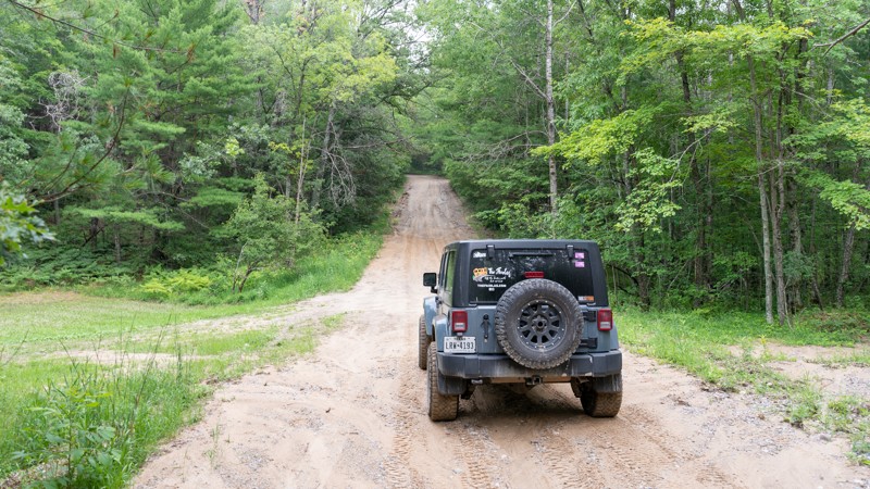
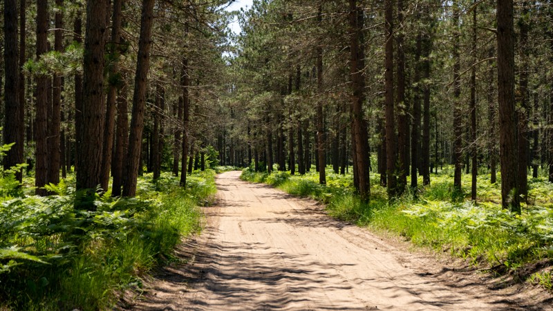
Keeley Road is surrounded by a jack pine and hardwood forest along the north side of Mack Lake. The Mack Lake ORV Campground and ORV trail also starts there. The road surface is primarily hard-packed dirt but can turn muddy with heavy rain or snow melt.
Updated: 10/15/2024
MA Route South
Ozark, Michigan
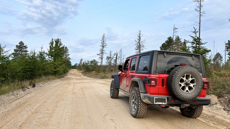
MA Route is a wide gravel road through some dense forest in the Michigan State Forest. Part of the State of Michigan ORV route system, MA Route runs south and ends at paved Schoolhouse Road north of Brevort, MI. MA Route can be used as a quick exit at the end of the Caffey Truck Trail. A Michigan ORV Route System permit is required for all vehicles on this road. No camping options.
Updated: 10/15/2024
County Road 410
Deer Park, Michigan
Depending on which direction you drive this gravel road, it starts or ends near the Perch Lake State Forest Campground. The campground offers several nice sites with privacy while others are stacked on top of each other. One dispersed site near the midpoint of the road looks to be coveted by many. County 410 is an excellent route two and from H37 and Crisp Point or the Mouth of Two Hearted River. Suitable for any vehicle with only minor layers of light sand on the road.

Upgrade your Membership
Unlock all of the details on every Trail Guide and Scout Route.
Start a 7-day Free TrialCommunity
Partners

