Region

Daniel Boone Backcountry Byway and Red River Gorge

Kentucky

Offroad Trails in Daniel Boone Backcountry Byway and Red River Gorge

A Region within Kentucky
4.3/5 (120)

Explore the Daniel Boone Backcountry Byway and Red River Gorge

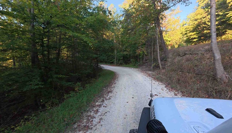
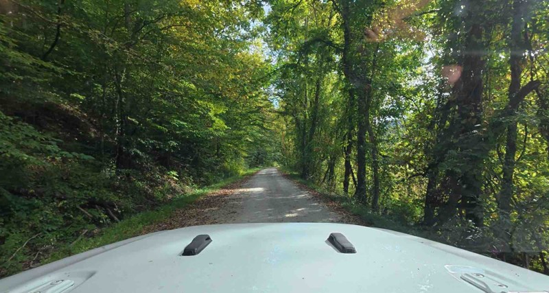
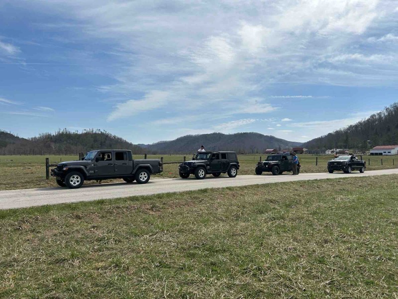
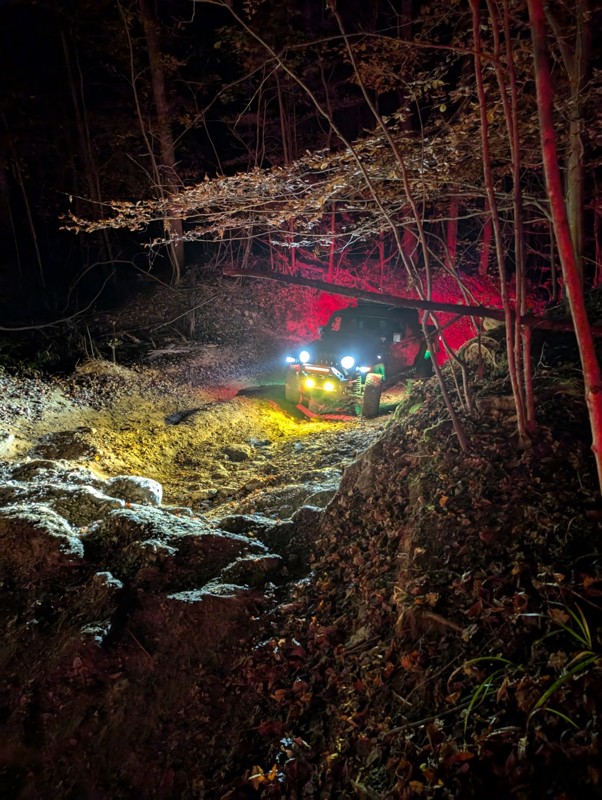
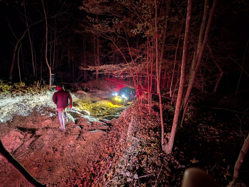
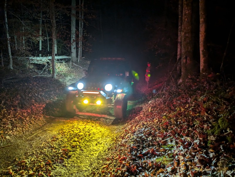
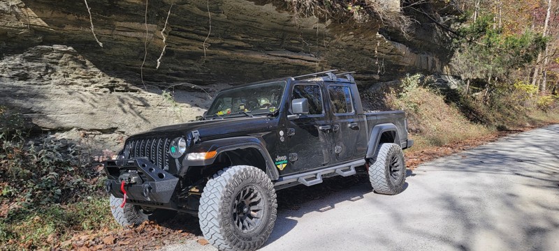
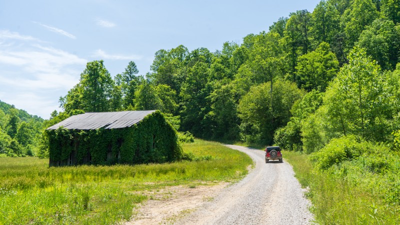
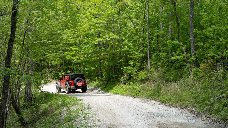
Eastern Kentucky’s Daniel Boone Backcountry Byway (DBBB) and Red River Gorge Geological Area offer an offroad and outdoor experience unlike any other in the eastern U.S. With over 100 miles of mostly historic county roads weaving through Powell, Estill, Lee, Wolfe, and Menifee Counties, the DBBB delivers a blend of scenic gravel routes, paved connections, and challenging offroad trails—perfect for a multi-day overlanding adventure.

Top trails include:

  • Spaas Creek – A scenic, moderately challenging trail with one of the few dispersed camping spots on the route.
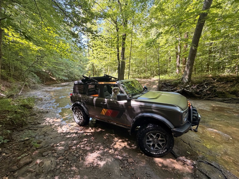
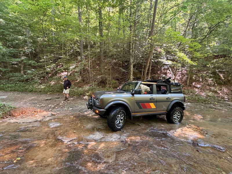
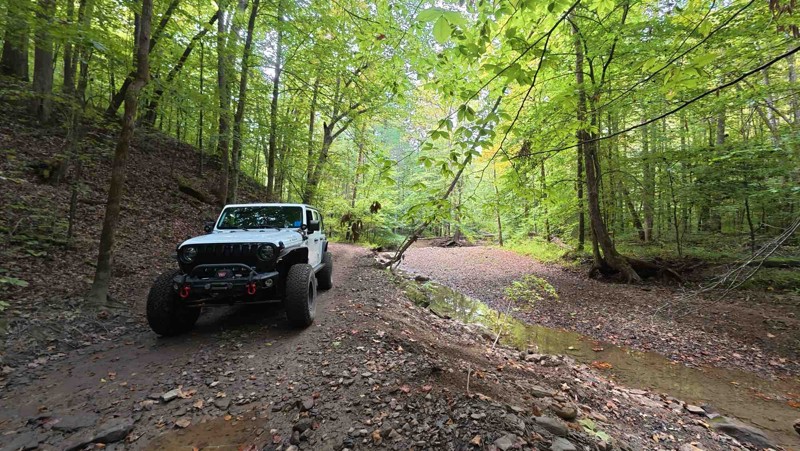
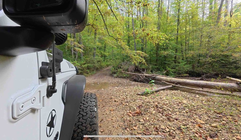
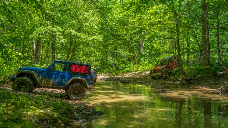
  • Pumpkin Hollow – Known for its fun creek crossing and a satisfying mix of terrain and forested climbs.
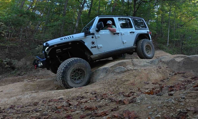
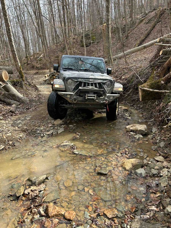
  • Old Fincastle Road – A rock-crawler’s dream, complete with big obstacles and a dramatic water crossing at Walker Creek.

Note: ATVs and side-by-sides are prohibited. Only licensed, street-legal vehicles are allowed.

Camping is limited on-trail, but private campgrounds and two National Forest campgrounds—Whittleton and Koomer Ridge—are close by. Natural Bridge State Park in Slade serves as a popular basecamp with easy access to trails, lodging, and hiking.

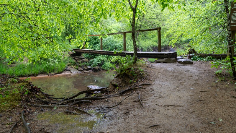
Off the trail, the Red River Gorge offers some of the best hiking in the region, including the Sky Bridge, Grays Arch, and Rock Bridge trails. The area is second only to Utah in natural arches, and a scenic drive through the historic Nada Tunnel is a must.

Respect local communities by following Tread Lightly principles: stay on trail, minimize noise, and pack out what you pack in. The DBBB is a shining example of community-driven trail preservation—let’s keep it that way.

Plan your trip now with the Trails Offroad guide!

Top Reasons to Explore Here

Basemaps
Go All-Access to Unlock


TRAILS OFFROAD™ TRAIL TYPES
Trail Guide
Full detailed write up with Advanced Rating System, Waypoints, Video, and more.
Scout Route
Lite version with highlights, camping, and hardest part documented. Vetted in person.
TRAIL DIFFICULTY RATINGS
easy (1-2)
Suitable for high clearance 2WD
moderate (3-4)
Best suited for a high clearance 4x4
difficult (5-6)
Best suited for a lightly modified 4x4
severe (7-8)
Best suited for a highly modified 4x4
extreme (9-10)
Best suited for specialized buggy type vehicles
LAYERS

Most Recent Trail Reviews

Most Popular

Search for Trails
Kentucky: Herdes Springs Hero Photo
All-Access Icon
3/5 (2 reviews)
Updated: 02/19/2024

Herdes Springs

McKee, Kentucky

The Herdes Springs 4x4 Trail on the Daniel Boone Backcountry Byway is a thrilling adventure for offroad enthusiasts. Located amidst the rugged beauty of Kentucky's wilderness, this trail offers a challenging and exhilarating experience for those passionate about four-wheeling. Drivers navigating the trail encounter obstacles, including steep inclines and declines, rocky terrain, and muddy sections, testing their driving skills and vehicle capabilities. Towering trees surround the trail as you wind down to Herdes Creek. For those seeking an adrenaline-pumping offroad adventure in the heart of nature, the Herdes Springs 4x4 trail is an absolute must-visit.

Kentucky: Brushy Hero Photo
All-Access Icon
4.5/5 (2 reviews)
Updated: 07/12/2023

Brushy

Korea, Kentucky

The sticky mud and a long descent into the hollow will brighten your eyes and widen your smile. Brushy 1085, part of the Daniel Boone Backcountry Byway, starts 4.5 miles of actual offroad trail when you combine it with its neighbor, Brushy Fork North Road. The forest envelopes you with direct sunshine, quickly losing its shine as you drop into the hollow. As you continue this short trail, photo opportunities unveil themselves to you and your wheeling mates. After completing this trail, photos of water crossings, a calming unnamed tributary, and flexy obstacles will surely be in your collection.

Kentucky: Sand Lick Hero Photo
Scout Route Icon
2/5 (1 reviews)
Updated: 10/15/2024

Sand Lick

Foxtown, Kentucky

Sand Lick is a maintained gravel road taking you from the town of Foxtow toward Highway 421 just north of Kckee. There are no obstacles along its 4-mile length, making it great for anyone looking to get out and spend time in nature. No camping was observed along the trail.

Kentucky: Patrick Cemetery Road Hero Photo
All-Access Icon
1/5 (2 reviews)
Updated: 07/12/2023

Patrick Cemetery Road

Frenchburg, Kentucky

Patrick Cemetery Road is a necessary evil when driving the Daniel Boone Backcountry Byway. It is not very exciting compared to other roads along the DBBB, but it's not pavement either. Drive this road for one reason - to say that you completed every road on the DBBB!

Kentucky: Miller Fork Road Hero Photo
Scout Route Icon
4/5 (1 reviews)
Updated: 10/15/2024

Miller Fork Road

Airedale, Kentucky

Miller Fork is an access road leading to the Miller Fork Recreational Preserve parking lot. Acquired in 2013 by the Red River Gorge Climber's Coalition, this 309-acre MFRP offers spectacular rock climbing with nearly 30 crags and over 500 routes. The road to the parking lot is a gentle drive along Hell's Creek, down a gravel road with occasional potholes and slight dips that can often be filled with several inches of water. Parking can be tight on busy weekends, so be sure to plan accordingly. There is one pull-off with a fire ring along the road, but the camping legality of that spot is unknown, as the road travels entirely through privately owned property. Thus, users should assume camping is not allowed.

Kentucky: Leatherwood Fork Hero Photo
Scout Route Icon
4/5 (2 reviews)
Updated: 10/28/2024

Leatherwood Fork

Nada, Kentucky

Leatherwood Fork is a dead-end spur road off Indian Creek Road that follows Indian Creek for less than a mile. The road surface is hard, compact gravel, and suitable for any vehicle. The creekside views along Leatherwood Fork are incredibly scenic, and the birds are constantly chirping in the area, giving it a very peaceful vibe.

There are several campsites along the road. All require leaving your vehicle on the road and hiking a short distance to the campsite. This is not a good road for camper trailers. The road ends abruptly with no good turnarounds. Thus, trailers would have to back up long distances.