


By clicking "ACCEPT", you agree to be the terms and conditions of each policy linked to above. You also agree to the storing of cookies on your device to facilitate the operation and functionality of our site, enhance and customize your user experience, and to analyze how our site is used.
Kansas Off-Road Trails
2
Total Trail Guides 0

29
Detailed Waypoints 60
Try a Free 7-Day Trial and unlock it all
Start a Free Trial Most Recent Trail Reviews
Rated 5/5
Open
Visited: 10/18/2025
Was able to handle the trail in a fully stock Tacoma, extended bed (bad turn radius). Conditions were wet and worsening. Would not have been able to enter this trail on the north end, too steep and sl...

CP
Carl Peterson
Rated 5/5
Open
Visited: 09/18/2025
Great fun quick trails. Main trails is fairly easy. If you want to challenge your rig try the offshoot up the side of the valley. Some off these offshoot will challenge even the most capable rigs.
T
Todd
Open
Visited: 09/18/2025
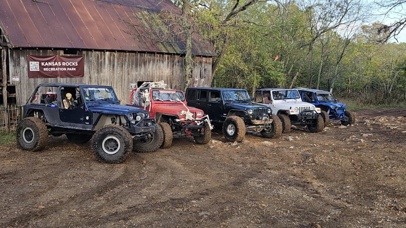
Great trails for beginners. can be more challenging when wet. It always seems to be wet. Great photo op at the end of the trail.
T
Todd
Rated 5/5
Open
Visited: 03/31/2024
Short Trail But its in an Offroad park that has trails for all skill levels. I have seen it done with no winching even on a stock Nissan Frontier. Good tire placement and a spotter are recommended for...
B
Bill
Rated 5/5
Open
Visited: 03/23/2024
Fun short trail with challenges requiring good wheel placement.

Richard
Open
Visited: 03/16/2024
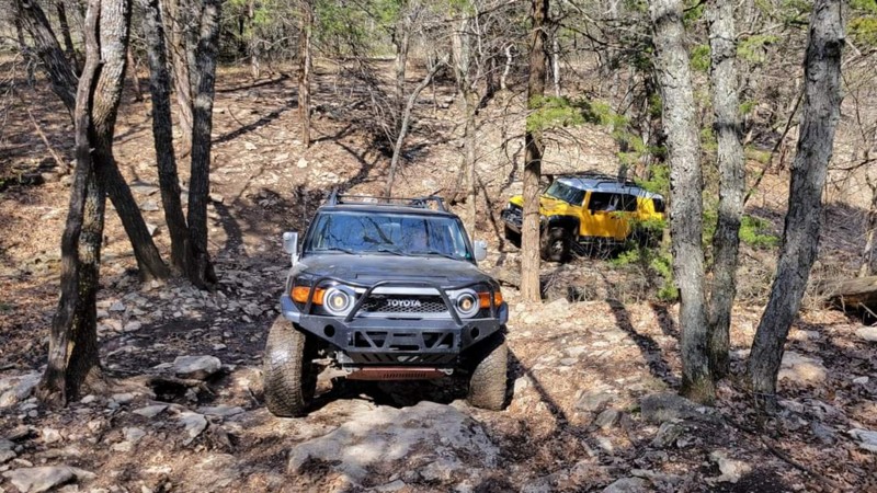
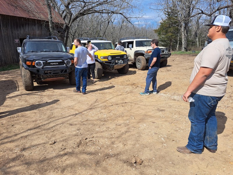
It was a great trail in my 2008 fj with not much modified and 285/75/17 tires
BT
Bill Thompson
Open
Visited: 11/10/2023
The park downgraded this one from black to blue - agree on the off-camber back and forth, great trail!

Andy Boettcher
Rated 5/5
Open
Visited: 06/29/2023
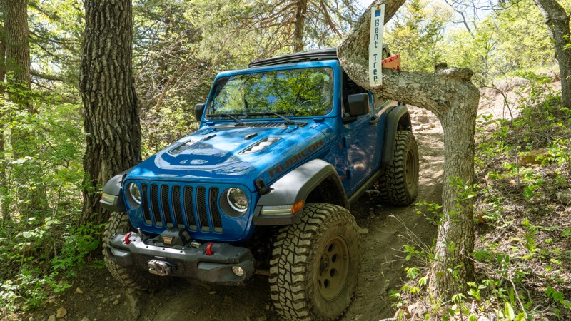
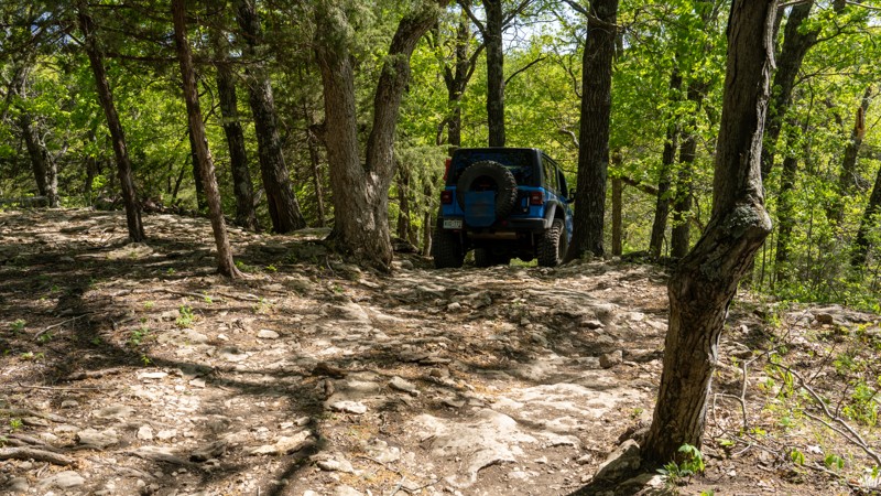
Goo trail to run in either direction. The ledge at the top has 2 optional lines, one easier, one more moderate. The bent tree is a cool sight to see.

Ryan Boudreau
Official Crew
Open
Visited: 06/28/2023
Steep hill climb with loose rock and dirt. Takes a good amount of momentum, and watch out for a few tree roots.
Ryan Boudreau
Official Crew
Open
Visited: 05/03/2023
This makes for a nice loop in the eastern part of the park. The old barn is a cool place to hangout for a bit. I can see this trail being super tough for long vehicles like gladiators. The trees you h...
Ryan Boudreau
Official Crew
Rated 5/5
Open
Visited: 05/03/2023
C-2 is an ok trail by itself, but the lure is all of the side climbs. There are climbs for just about any type of build, so that's nice. The main C-2 channel is short and a bit rocky, so pay attention...
Ryan Boudreau
Official Crew
Open
Visited: 05/03/2023
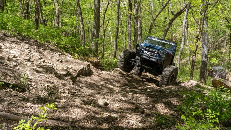
HAMMER DOWN!! This is definitely a super steep, loose dirt hill that takes a lot of momentum, even when dry. Couldn't imagine what it's like when wet.
Ryan Boudreau
Official Crew
Open
Visited: 05/03/2023
What a fun trail! We had the opportunity to drive this on a very sunny and dry day in early May which made the conditions just perfect. I could see this trail being much more difficult in wet weathe...


Todd
Official Crew
Rated 5/5
Open
Visited: 05/02/2023
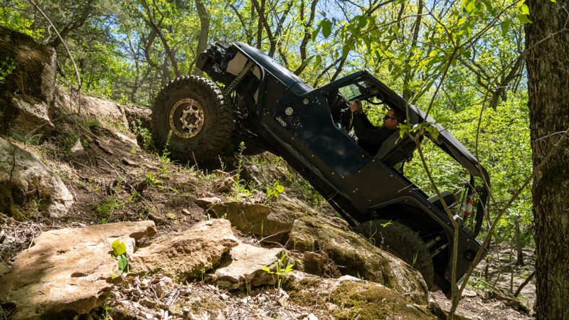
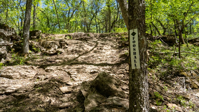
Fun obstacle that takes a good line and good throttle control. It's definitely steep and will have you puckering. Soggy ground or a bad line can definitely result in rollover.
Ryan Boudreau
Official Crew
Rated 4/5
Open
Visited: 05/02/2023
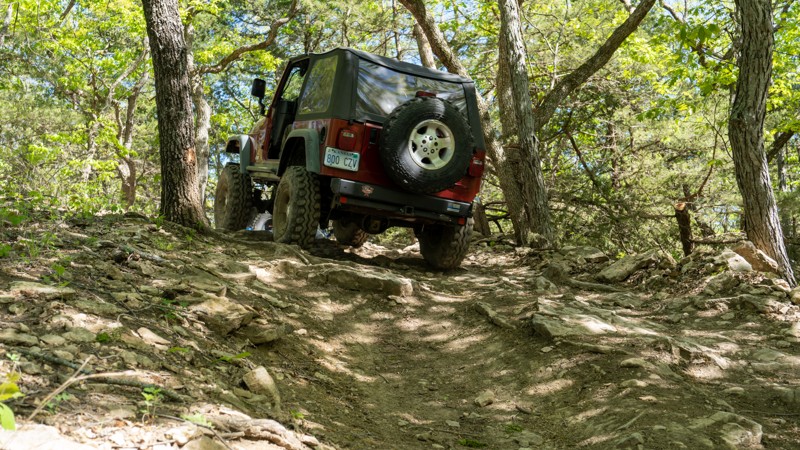
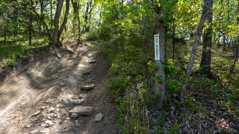
Good beginner trail to get comfortable with steep hills, especially if wet.
Ryan Boudreau
Official Crew
Open
Visited: 05/02/2023
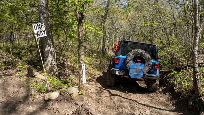
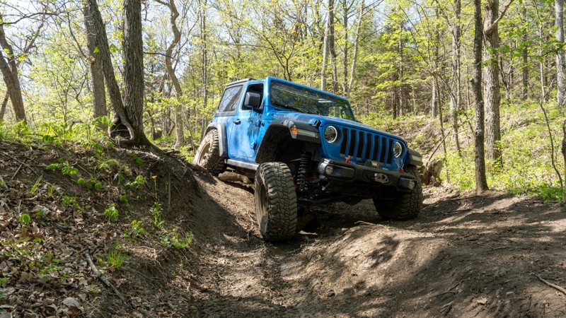
One of my favorite trails within KRocks. It's not your typical hill climb like you find everywhere else through the park, but it is also a great trail to test your suspension flex!
Ryan Boudreau
Official Crew
Open
Visited: 05/02/2023
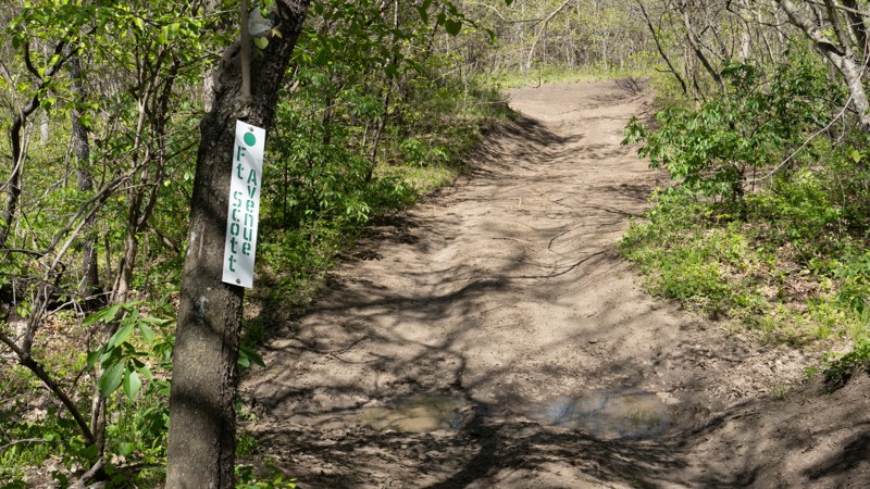
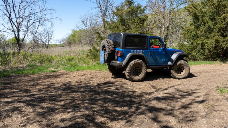
Fun trail with a creek crossing, a ledge to climb, and definitely one of the most scenic trails in the park.
Ryan Boudreau
Official Crew
Open
Visited: 05/02/2023
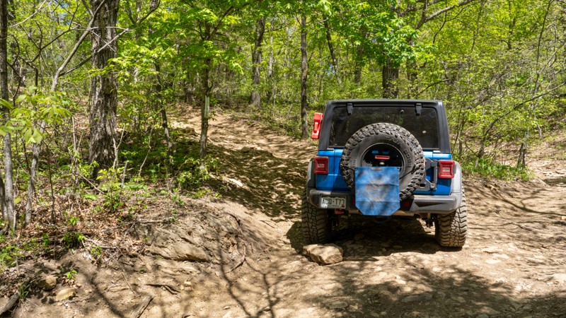
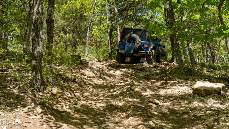
More interesting way to reach the Buckeye Boonies Area, than taking the main park roads, but not an overly challenging trail at all. Small rocks make it pretty rough the entire way.
Ryan Boudreau
Official Crew
Open
Visited: 05/02/2023
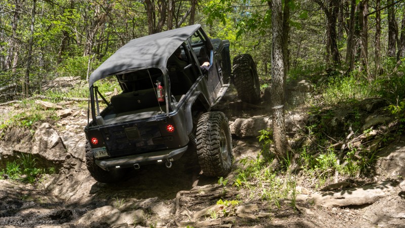
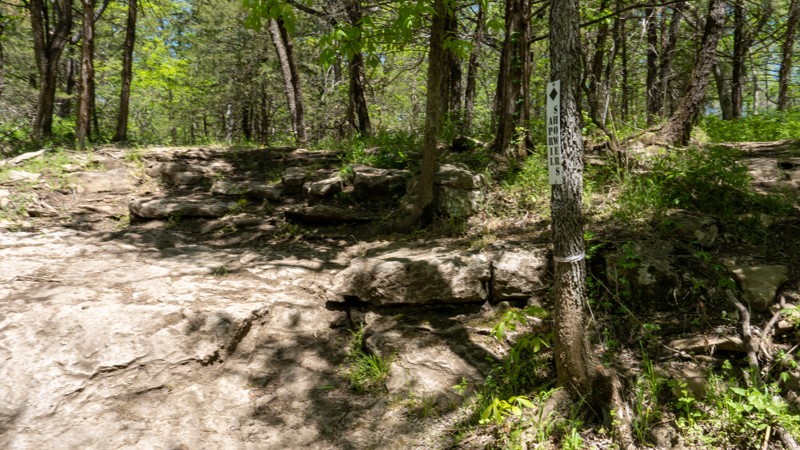
Deceptive little obstacle. Takes way more throttle than you think it should take. Be cautious of the undercut on the left side. It can easily hook your rear wheel and pull you over.
Ryan Boudreau
Official Crew
Rated 5/5
Open
Visited: 05/02/2023
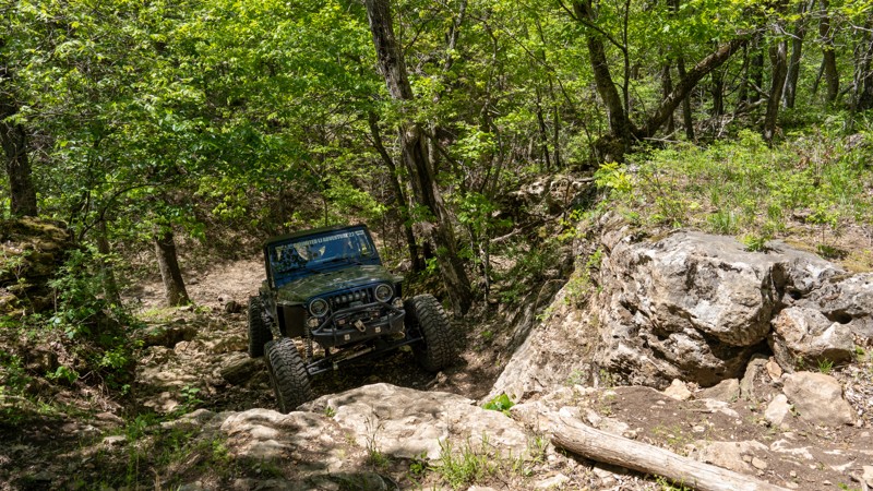
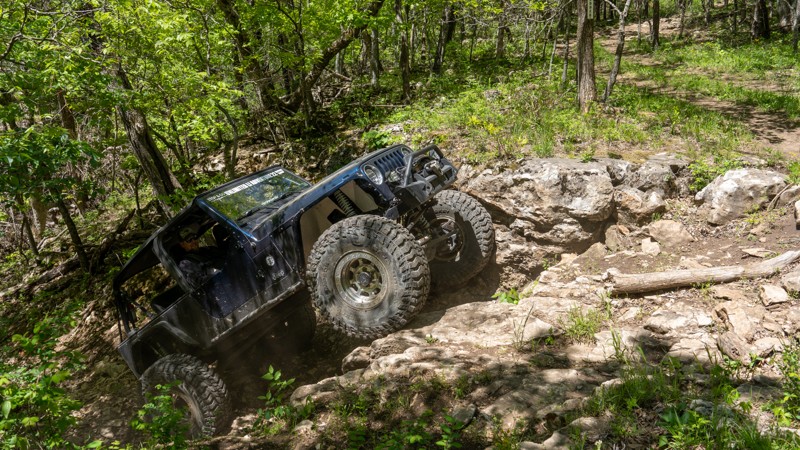
The ledge on shredder is a total beast! You have to be totally comfortable with being vertical to conquer this obstacle. It's tricky when dry, and if it's wet, you can guarantee 4 out of 5 times there...
Ryan Boudreau
Official Crew
Rated 4/5
Open
Visited: 05/02/2023
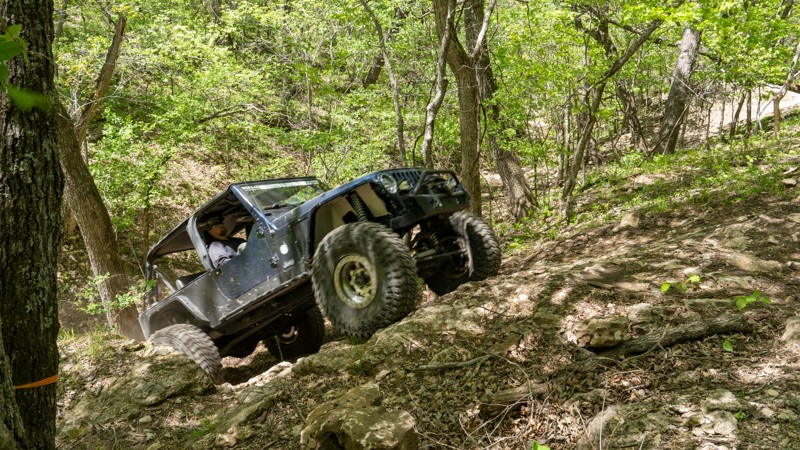
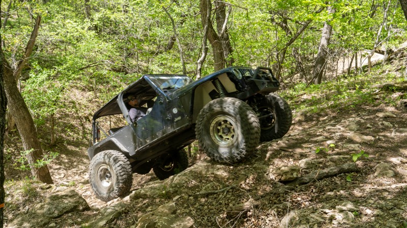
Steep hill climb with a nice ledge at the top, typical of most of the spurs within C-2.
Ryan Boudreau
Official Crew
Rated 3/5
Open
Visited: 05/02/2023
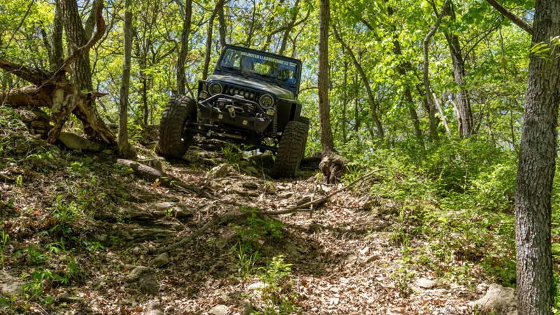
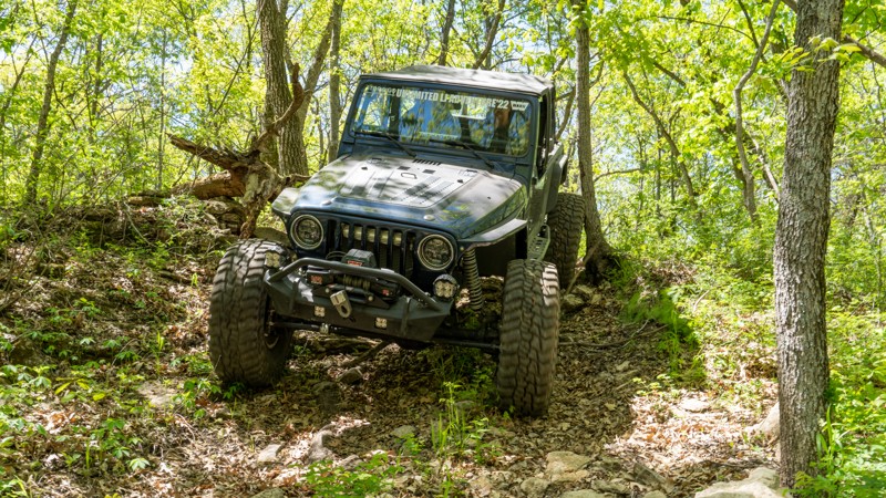
This one appears to be pretty lightly used, and I think for good reason. The trees grow really right against the trail, and its pretty loose and hard to stay off the trees if going uphill. Up Darth, a...
Ryan Boudreau
Official Crew
Rated 4/5
Open
Visited: 05/02/2023
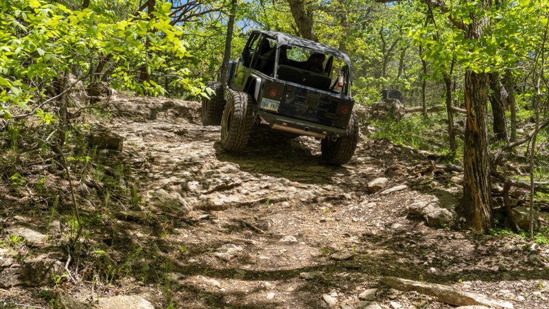
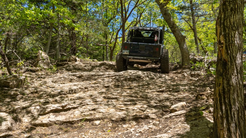
Fun side spur off of C2. Good for just about any vehicle.
Ryan Boudreau
Official Crew
Open
Visited: 05/02/2023
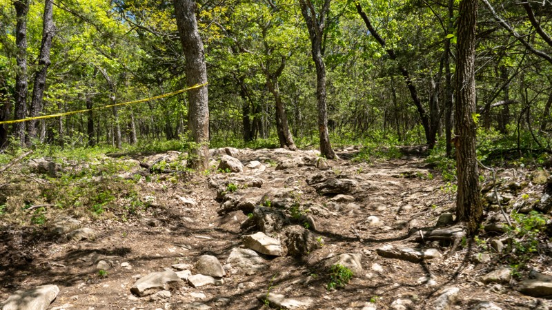
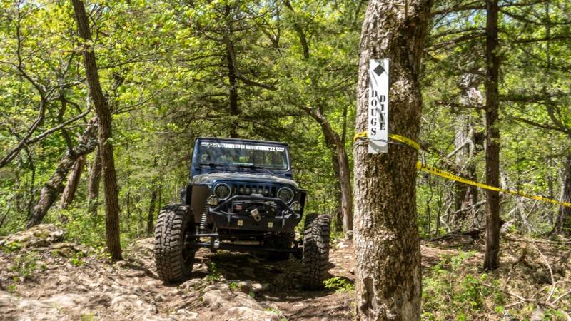
Fun trail with one ledge near the top. A lot of rocks along the trail too. Definitely fun to go up and down this ledge.
Ryan Boudreau
Official Crew
Open
Visited: 05/02/2023
This trail is definitely on the easier side of difficult, and I personally felt like there are many other better spurs off of C2 than this one.
Ryan Boudreau
Official Crew
Open
Visited: 05/02/2023
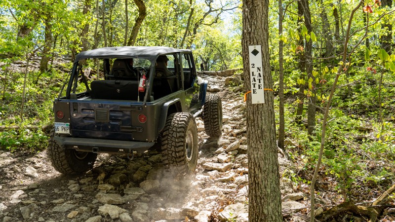
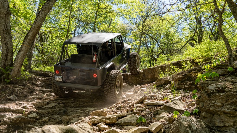
When dry, this hill climb is not very difficult for the right vehicle. However, the large ledge at the top will require larger tires and good skid plates. Definitely not stock friendly, but a modified...
Ryan Boudreau
Official Crew
Open
Visited: 05/02/2023
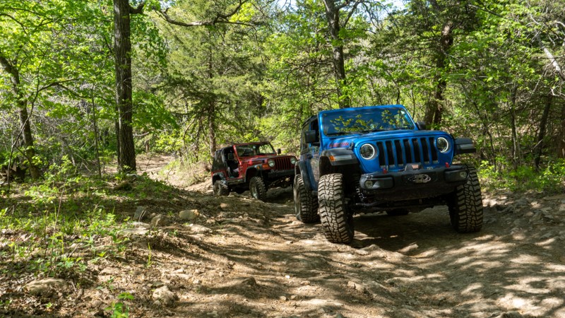
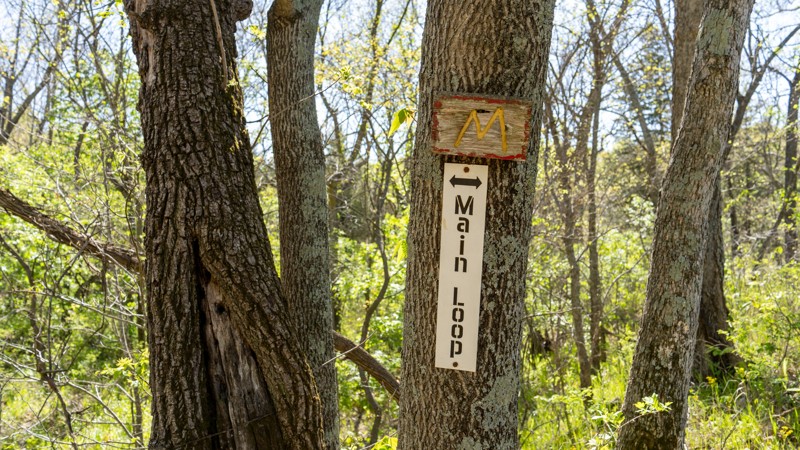
Not much to this specific trail, but it does pass some sweet hill climbs along rocky ridge and the base of timber hill.
Ryan Boudreau
Official Crew
Open
Visited: 05/02/2023
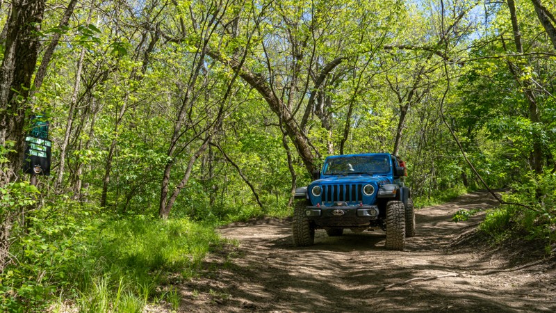
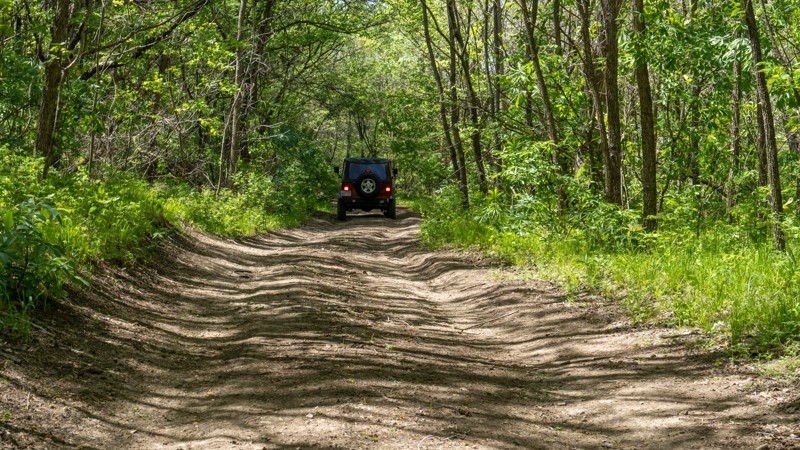
Probably my favorite part of the main loop for an easy, casual ride. It offers a really good mix of thick trees, open grassy areas, bumpy rocks, possible mud, and passes a ton of great trails. The nor...
Ryan Boudreau
Official Crew
Rated 3/5
Open
Visited: 05/02/2023
Nothing worth noting along this trail except that the hill can be slippery during wet periods. I have seen vehicles get stuck on the hill before during the frostbite event.
Ryan Boudreau
Official Crew
Open
Visited: 05/02/2023
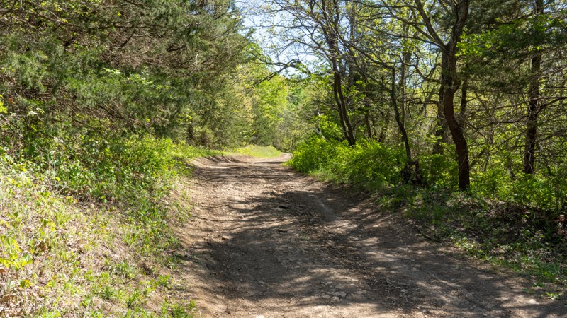
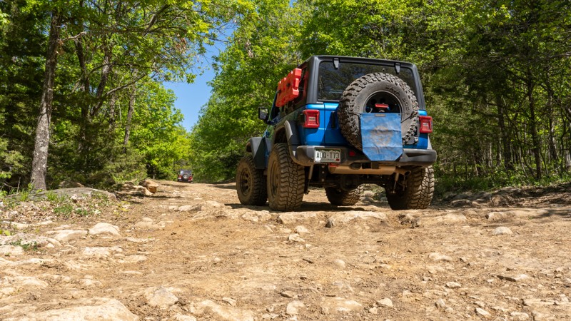
Part of the main loop, this is an easy trail suitable for any vehicle. Nothing worth noting except a few bumpy, rocky sections along the eastern stretch.
Ryan Boudreau
Official Crew
Rated 5/5
Open
Visited: 05/01/2023
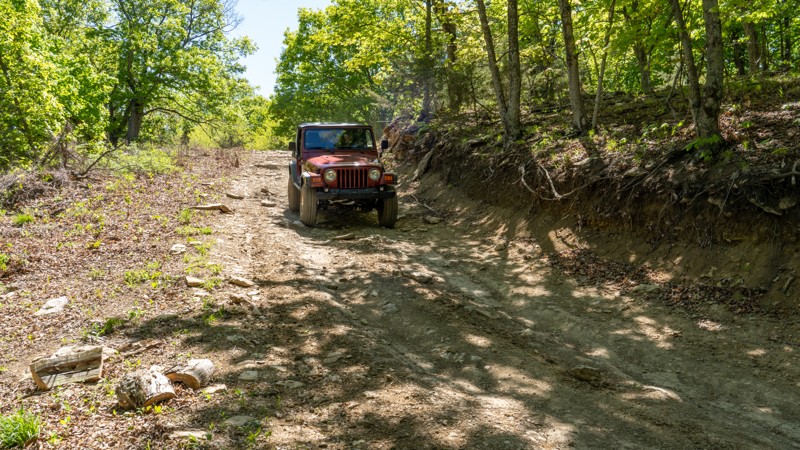
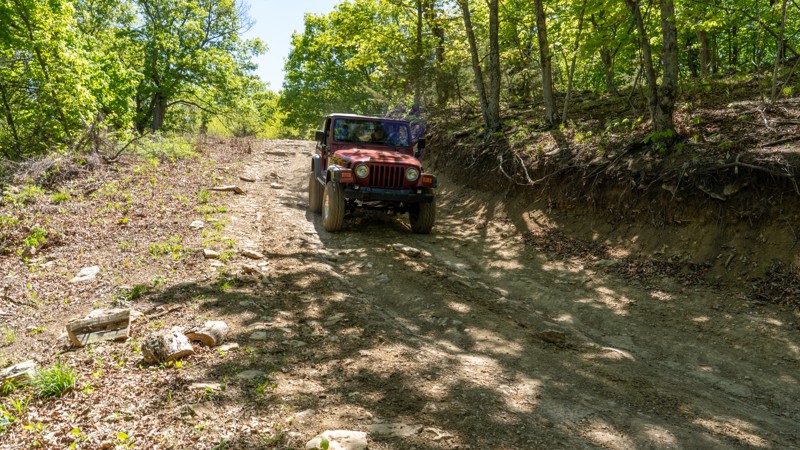
The main entrance road is a great road to get you ready for the park. Great signage, good bathrooms, playground area, and places to store your doors, it's great! The steep hill shortly after the picni...
Ryan Boudreau
Official Crew
Open
Visited: 10/25/2022
An easy unremarkable trail, but it leads to a lot of other trails in the area.

Benjamin Cooper
Rated 3/5
Open
Visited: 10/24/2022
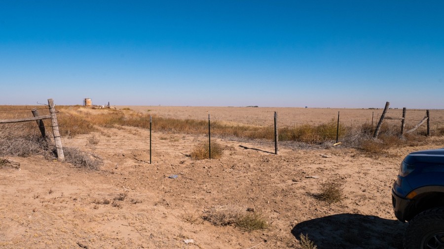
An easy trail with some camping possibilities. This trail offers a nice view of the river valley to the south.
Benjamin Cooper
Rated 4/5
Open
Visited: 10/24/2022
Not particularly interesting, but a good shortcut between the major roads, and possible camping.
Benjamin Cooper
Rated 4/5
Open
Visited: 10/24/2022
A short easy road with nothing particular to see, but there are some possible campsites.
Benjamin Cooper
Rated 5/5
Open
Visited: 10/24/2022
A very easy trail, but some of the nicest dispersed camping possibilities in the entire grasslands.
Benjamin Cooper
Open
Visited: 10/20/2022
This is a very easy and boring road, but the trailhead for the Santa Fe Trail has interesting historic information.
Benjamin Cooper
Rated 2/5
Open
Visited: 10/20/2022
A very simple trail with not much to see or do. It does provide a convenient shortcut.
Benjamin Cooper
Rated 3/5
Open
Visited: 10/20/2022
An unassuming trail leading to some interesting active oil production equipment.
Benjamin Cooper
Rated 3/5
Open
Visited: 10/20/2022
An easy trail providing access to the far west end of the grassland.
Benjamin Cooper
Open
Visited: 10/20/2022
On of the prettiest trails in the area with a few possible campsites.
Benjamin Cooper
Open
Visited: 10/20/2022
Totally boring short graded road, but access to 2 more interesting trails and a hiking trailhead and fishing pond.
Benjamin Cooper
Rated 3/5
Open
Visited: 10/20/2022
An easy trail with some nice prairie scenery.
Benjamin Cooper
Rated 3/5
Open
Visited: 10/20/2022
An easy trail through the prairie. There is a nice windmill.
Benjamin Cooper
Rated 3/5
Open
Visited: 10/20/2022
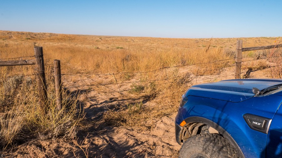
An easy trail with rugged scenery.
Benjamin Cooper
Rated 3/5
Open
Visited: 10/20/2022
An easy trail with some rugged scenery.
Benjamin Cooper
Open
Visited: 10/20/2022
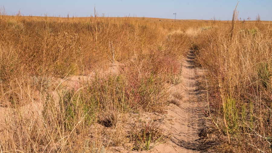
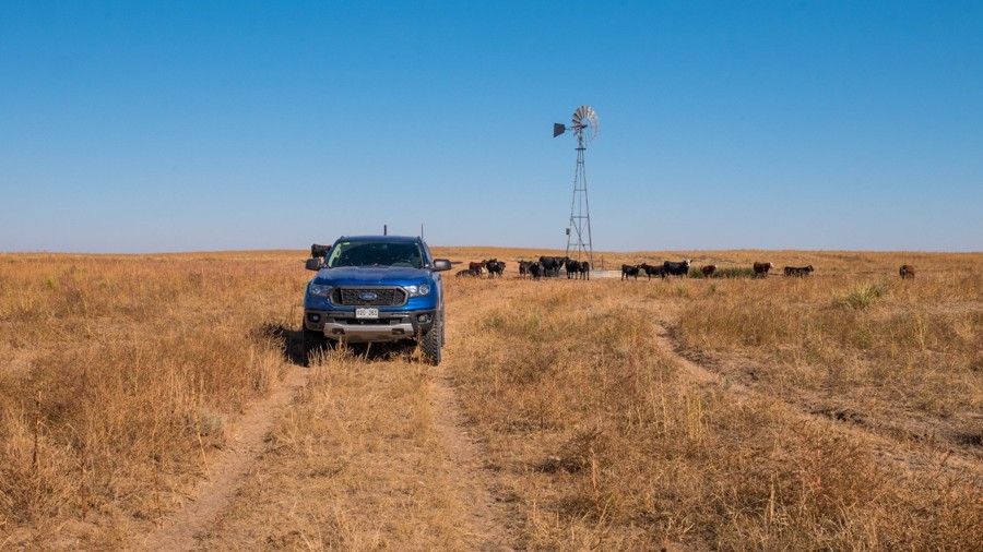
This is a fairly long trail with a mixture of terrain. Windmills and rolling hills make for some rugged scenery.
Benjamin Cooper
Rated 4/5
Open
Visited: 10/20/2022
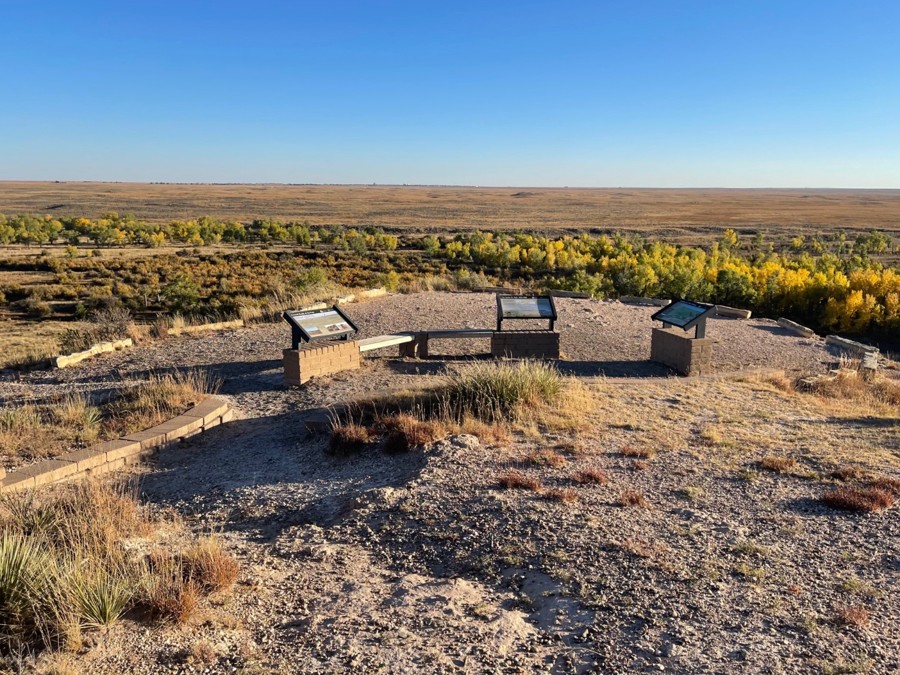
A very easy road but with very nice views and access to many other trails.
Benjamin Cooper
Rated 4/5
Open
Visited: 10/20/2022
An easy road with nice views and access to the rest of the grasslands trails. The historic Santa Fe Trail is interesting to see.
Benjamin Cooper
Rated 4/5
Open
Visited: 10/20/2022
A very easy road, but with access to the whole area. The views of the river valley are nice.
Benjamin Cooper
Most Popular


Updated: 03/16/2024
Rattlesnake Alley BOH - Kansas Rocks Recreation Park
Open
/
Fort Scott, Kansas/
1.39 miles/
About 2 hours
Rattlesnake Alley, a Jeep Badge of Honor Trail introduced in 2023, is a spirited drive through Kansas Rocks Recreation Park. It winds down through a wooded and rocky ravine offering several different terrain features that will thrill new and experienced drivers alike. The mysterious old barn, with no known story behind it, provides a perfect spot for a lunch break with wheeling buddies. Combine this with C2 for both BOH Badges to make a great day in the park.

Updated: 03/23/2024
C2 - Kansas Rocks Recreation Park
Open
/
Mapleton, Kansas/
0.21 miles/
About 15 minutes
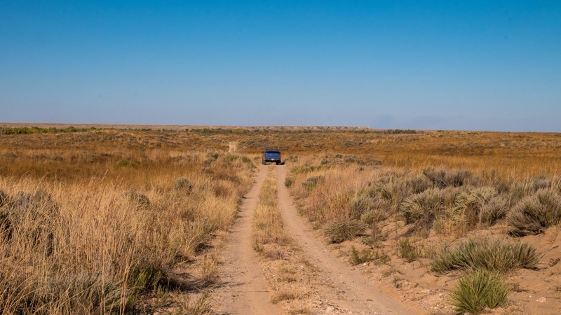
C2 is a Jeep Badge of Honor Trail added in 2023. It's no wonder, as it provides a fun drive for those looking to push their limits. Located within the Kanas Rocks Recreation Area, the trail follows through a picturesque tight ravine, and for those looking for more severe or extreme challenges, the fourteen different short off-shoots are a challenge for even the most experienced drivers with built rigs.

Updated: 10/15/2024
Cimarron Grassland - South River - 700.3
Elkhart, Kansas
Cimarron National Grasslands is USFS land surrounding 25 miles of the Cimarron river and a portion of the historic Santa Fe Trail, located in the southwest corner of Kansas. The terrain is rolling hills with tall prairie grass and a sandy river bottom full of cottonwood trees. Hiking and 4x4 trails crisscross the area in an extensive network. The closest town for fuel and supplies is Elkhart, KS.
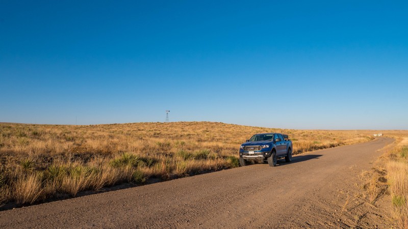
South River Road (FR 700.3) is a double-track trail and serves as a major access artery for the entire grasslands. Unlike the other sections of South River Road, this trail is not graded or maintained. Soft sand may require 4WD. The route roughly follows the south bank of the Cimarron River and offers nice views and access to all the smaller trails in the area. This section of South River Road travels between Highway 27 and FR 709.
This entire area is actively used for cattle grazing and also for oil and natural gas production. Always leave gates as you found them.
Dispersed camping is allowed on the USFS land unless otherwise posted. However, there are very few clearings in the brush to set up a tent. There is an improved pay campground accessible from South River Road (FR 700.2)
Updated: 10/15/2024
Cimarron Grassland - North River - 600.3
Elkhart, Kansas
Cimarron National Grasslands is USFS land surrounding 25 miles of the Cimarron river and a portion of the historic Santa Fe Trail, located in the southwest corner of Kansas. The terrain is rolling hills with tall prairie grass and a sandy river bottom full of cottonwood trees. Hiking and 4x4 trails crisscross the area in an extensive network. The closest town for fuel and supplies is Elkhart, KS.
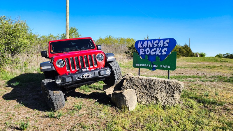
North River Road (FR 600.3) is a graded dirt road that serves as a major access artery for the entire grasslands. The route roughly follows the north bank of the Cimarron River and offers nice views and access to all the smaller trails in the area. This section of North River Road starts at Highway 27 on the east and dead ends at a gate to private land on the west.
The road parallels and crosses the historic Santa Fe Trail and Companion hiking trail. The Point of Rocks overlook offers spectacular views of the river valley and historic Santa Fe Trail, with some informative signs.
This entire area is actively used for cattle grazing and also for oil and natural gas production. Always leave gates as you found them.
Dispersed camping is allowed on the USFS land unless otherwise posted. However, there are very few clearings in the brush to set up a tent. There is an improved pay campground accessible from South River Road (FR 700.2)
Updated: 09/02/2026
Main Loop - Kansas Rocks Recreation Park
Devon, Kansas
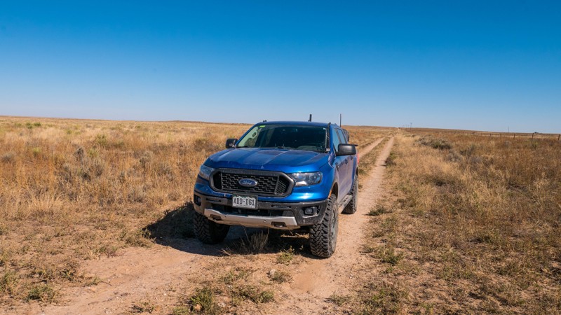
Main Loop, or trail 72, is the main entrance into Kansas Rocks Recreational Park. The road starts at Tomahawk Road, where you can find a large park sign. Head north, passing the entrance gate and another park sign designed for Jeep selfies and flex shots. Continue past the parking and camping area to the park office, where you sign in and pay your daily fee. Across from the office is a large, man-made playground made of rocks, concrete tubes, and mud holes. The trail then heads past a picnic shelter and takes riders into the heart of the trail system. As you descend a steep, rutty hill, you'll pass Gina's Giggle Gulch to the east and Labyrinth to the west before finally intersecting trails 111 and 112 next to Kansas Rocks Lake. This trail is suitable for any high clearance vehicle, and 4-wheel drive will likely be necessary during wet weather.
Kansas Rocks Recreation Park is open on weekends, with varying hours depending on the day and the time of year. Annual passes can be purchased online, while day passes must be purchased at the time of visit.
Camping is not permitted on the trails, but camping is permitted near the office with 24 primitive camping sites, 24 RV slots, and cabin rentals. You can make reservations directly online. Amenities include fully plumbed bathrooms, a shower house, fire pits, covered pavilions, picnic tables, and electricity in the RV area.
Updated: 10/15/2024
Cimarron Grassland - New - 722
Elkhart, Kansas
Cimarron National Grasslands is USFS land surrounding 25 miles of the Cimarron river and a portion of the historic Santa Fe Trail, located in the southwest corner of Kansas. The terrain is rolling hills with tall prairie grass and a sandy river bottom full of cottonwood trees. Hiking and 4x4 trails crisscross the area in an extensive network. The closest town for fuel and supplies is Elkhart, KS.
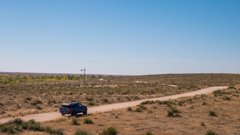
FR 722 (New) is an easy dirt and sand double-track trail through the prairie. Some spots have loose sand, which may require 4WD. The road leads from County Road C on the west to C Boulevard on the east and crosses several trails leading north into the grassland.
The trail crosses several cattle guards, which all have a single strand of fence wire as a gate, which can be very difficult to see. Be sure to close the wire again after passing through.
This entire area is actively used for cattle grazing and also for oil and natural gas production.
Dispersed camping is allowed on the USFS land unless otherwise posted. However, there are very few clearings in the brush to set up a tent. There is an improved pay campground accessible from South River Road (FR 700.2)
Updated: 10/15/2024
Cimarron Grassland - North River - 600.2
Wilburton, Kansas
Cimarron National Grasslands is USFS land surrounding 25 miles of the Cimarron river and a portion of the historic Santa Fe Trail, located in the southwest corner of Kansas. The terrain is rolling hills with tall prairie grass and a sandy river bottom full of cottonwood trees. Hiking and 4x4 trails crisscross the area in an extensive network. The closest town for fuel and supplies is Elkhart, KS.
North River Road (FR 600.2) is a graded dirt road that serves as a major access artery for the entire grasslands. The route roughly follows the north bank of the Cimarron River and offers nice views and access to all the smaller trails in the area. This section of North River Road travels between County Road 16 and Highway 27.
The road parallels and crosses the historic Santa Fe Trail and Companion hiking trail.
This entire area is actively used for cattle grazing and also for oil and natural gas production. Always leave gates as you found them.
Dispersed camping is allowed on the USFS land unless otherwise posted. However, there are very few clearings in the brush to set up a tent. There is an improved pay campground accessible from South River Road (FR 700.2)
Updated: 10/15/2024
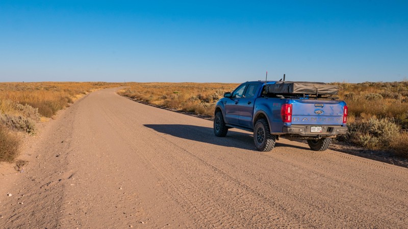
Cimarron Grassland - South River - 700.2
Elkhart, Kansas
Cimarron National Grasslands is USFS land surrounding 25 miles of the Cimarron river and a portion of the historic Santa Fe Trail, located in the southwest corner of Kansas. The terrain is rolling hills with tall prairie grass and a sandy river bottom full of cottonwood trees. Hiking and 4x4 trails crisscross the area in an extensive network. The closest town for fuel and supplies is Elkhart, KS.
South River Road (FR 700.2) is a graded dirt road that serves as a major access artery for the entire grasslands. The route follows the south bank of the Cimarron River and offers nice views and access to all the smaller trails in the area. This section of South River Road travels between County Road 16 and Highway 27
Cottonwood Picnic Area is at the west end of the road and offers several picnic tables, shade, and vault toilets. The Cimarron Recreation Area is about halfway along the road and has a pay campground, picnic areas, and fishing ponds.
This entire area is actively used for cattle grazing and also for oil and natural gas production. Always leave gates as you found them.
Dispersed camping is allowed on the USFS land unless otherwise posted. However, there are very few clearings in the brush to set up a tent. There is an improved pay campground accessible from South River Road (FR 700.2)
Updated: 10/15/2024
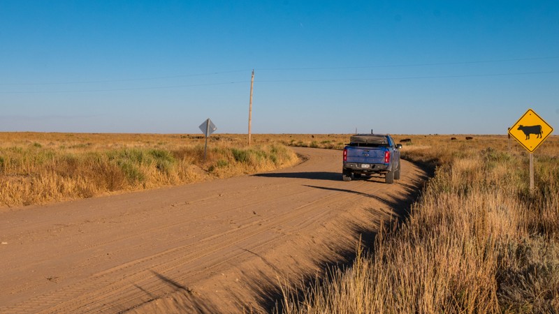
Cimarron Grassland - South River - 700.1
Wilburton, Kansas
Cimarron National Grasslands is USFS land surrounding 25 miles of the Cimarron river and a portion of the historic Santa Fe Trail, located in the southwest corner of Kansas. The terrain is rolling hills with tall prairie grass and a sandy river bottom full of cottonwood trees. Hiking and 4x4 trails crisscross the area in an extensive network. The closest town for fuel and supplies is Elkhart, KS.
South River Road (FR 700.1) is a graded dirt road that serves as a major access artery for the entire grasslands. The route roughly follows the south bank of the Cimarron River and offers nice views and access to all the smaller trails in the area. This section of South River Road travels between Highway 51 and County Road 16.
This entire area is actively used for cattle grazing and also for oil and natural gas production. Always leave gates as you found them.
Dispersed camping is allowed on the USFS land unless otherwise posted. However, there are very few clearings in the brush to set up a tent. There is an improved pay campground accessible from South River Road (FR 700.2)
Updated: 10/15/2024
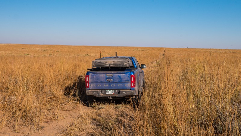
Cimarron Grassland - Road H - 755
Wilburton, Kansas
Cimarron National Grasslands is USFS land surrounding 25 miles of the Cimarron river and a portion of the historic Santa Fe Trail, located in the southwest corner of Kansas. The terrain is rolling hills with tall prairie grass and a sandy river bottom full of cottonwood trees. Hiking and 4x4 trails crisscross the area in an extensive network. The closest town for fuel and supplies is Elkhart, KS.
FR 755 ( Road H) is an easy double-track dirt trail, following the southern boundary of the grasslands and crossing several other trails leading north. The trail is mostly easy, with a packed dirt surface. One cattle guard is somewhat washed out and may require a vehicle with extra clearance. This trail is part of a route that crosses the southern edge of the grasslands from Highway 27 to County Road 16, which is comprised of FR 702, FR 760.K, FR 755, and H Blvd. It also intersects County Road 14, which leads to US Highway 56.
This entire area is actively used for cattle grazing and also for oil and natural gas production. Always leave gates as you found them.
Dispersed camping is allowed on the USFS land unless otherwise posted. However, there are very few clearings in the brush to set up a tent. There is an improved pay campground accessible from South River Road (FR 700.2)
Updated: 10/15/2024
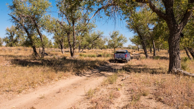
Cimarron Grassland - Turkey Trail - 798.B
Wilburton, Kansas
Cimarron National Grasslands is USFS land surrounding 25 miles of the Cimarron river and a portion of the historic Santa Fe Trail, located in the southwest corner of Kansas. The terrain is rolling hills with tall prairie grass and a sandy river bottom full of cottonwood trees. Hiking and 4x4 trails crisscross the area in an extensive network. The closest town for fuel and supplies is Elkhart, KS.
FR 798.B (Turkey Trail) is an easy dirt and sand trail following the Cimarron River and 1851 and 1842 hiking trails. The trail is sandy and may require 4wd in spots. There are a few clearings among the cottonwood trees, which would make good campsites.
This entire area is actively used for cattle grazing and also for oil and natural gas production. Always leave gates as you found them.
Dispersed camping is allowed on the USFS land unless otherwise posted. However, there are very few clearings in the brush to set up a tent. There is an improved pay campground accessible from South River Road (FR 700.2)
Updated: 09/02/2026
Wagon Trail - Kansas Rocks Recreation Park
Harding, Kansas
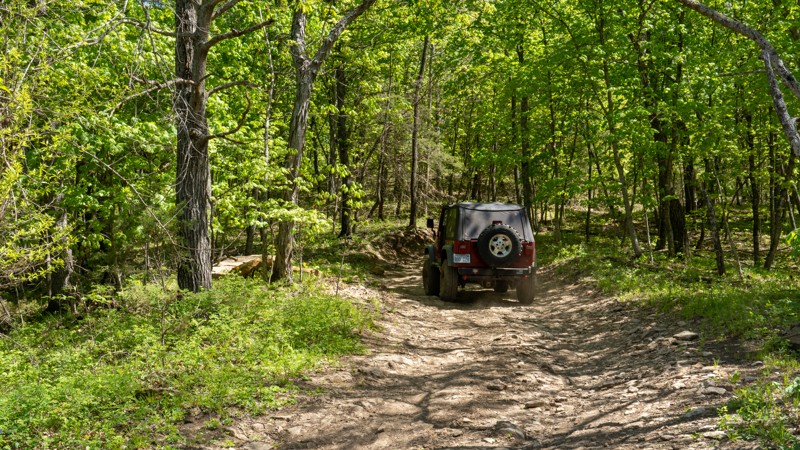
Wagon Trail is trail number 102 within the Kansas Rocks Recreational Park. The trail is part of the main loop and is an easy road with small exposed rocks in a few sections. There are no significant hills along this trail, so it retains its easy status during wet periods. Wagon Trail passes many other great trails but is primarily used to access and exit the Carnage Canyon Area. This trail is suitable for any high clearance vehicle.
Kansas Rocks Recreation Park is open on weekends, with varying hours depending on the day and the time of year. Annual passes are available online, while day passes must be purchased at the time of visit.
Camping is not permitted on the trails, but camping is permitted near the office with 24 primitive camping sites, 24 RV slots, and cabin rentals. You can make reservations directly online. Amenities include fully plumbed bathrooms, a shower house, fire pits, covered pavilions, picnic tables, and electricity in the RV area.
Updated: 10/15/2024
Bear Tracks - Kansas Rocks Recreation Park
Harding, Kansas
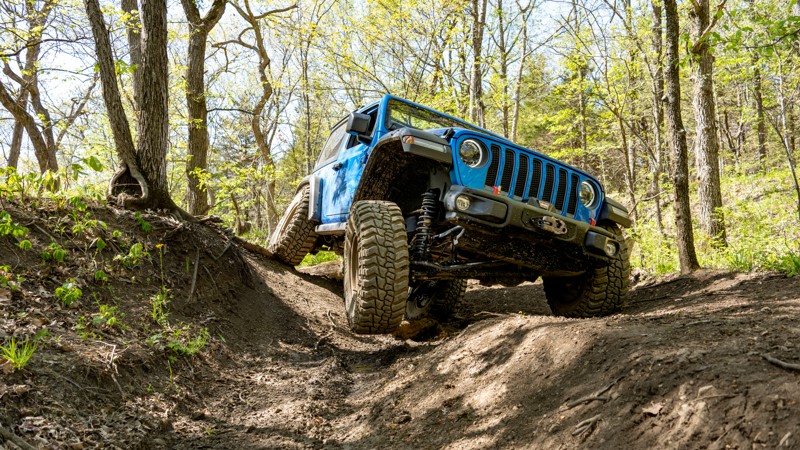
Bear Tracks, trail number 119 within Kansas Rocks Recreational Park, is a straight-through, one-way trail that might as well be a continuous RTI ramp as you cycle your suspension to its max over and over again over the course of 0.12 miles. The trail starts at 113 and travels east to an intersection with 121 and 114. The trail is often obstructed with sticky, cloudy mud holes that hide the true depth of the holes and cause an immediate stop to any forward momentum. The trail does not have any rock obstacles, just hard-packed woop-de-doos that love showing off tire lifts. This trail is best suited for modified vehicles with larger tires and big suspension travel.
Kansas Rocks Recreation Park is open on weekends, with varying hours depending on the day and the time of year. Annual passes can be purchased online, while day passes must be purchased at the time of visit.
Camping is not permitted on the trails, but camping is permitted near the office with 24 primitive camping sites, 24 RV slots, and cabin rentals. You can make reservations directly online. Amenities include fully plumbed bathrooms, a shower house, fire pits, covered pavilions, picnic tables, and electricity in the RV area.
Updated: 09/02/2026
West Bottoms - Kansas Rocks Recreation Park
Harding, Kansas
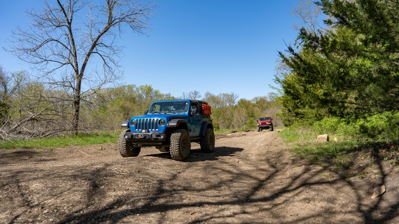
West Bottoms is trail number 111 within Kansas Rocks Recreational Park. The trail is part of the main loop and travels the park's western edge past the Turkey Hill, Rocky Ridge, and Labyrinth areas. The trail is mainly packed dirt with small exposed rocks. One small hill along the trail will likely require 4-wheel drive during wet periods. During normal conditions, this trail is suitable for any high clearance vehicle and is primarily used to access and exit other trails within the park's northern edge.
Kansas Rocks Recreation Park is open on weekends, with varying hours depending on the day and the time of year. Annual passes can be purchased online, while day passes must be purchased at the time of visit.
Camping is not permitted on the trails, but camping is permitted near the office with 24 primitive camping sites, 24 RV slots, and cabin rentals. You can make reservations directly online. Amenities include fully plumbed bathrooms, a shower house, fire pits, covered pavilions, picnic tables, and electricity in the RV area.
Updated: 10/15/2024
Cimarron Grassland - Jayhawk - 720
Elkhart, Kansas
Cimarron National Grasslands is USFS land surrounding 25 miles of the Cimarron river and a portion of the historic Santa Fe Trail, located in the southwest corner of Kansas. The terrain is rolling hills with tall prairie grass and a sandy river bottom full of cottonwood trees. Hiking and 4x4 trails crisscross the area in an extensive network. The closest town for fuel and supplies is Elkhart, KS.
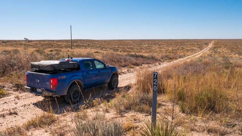
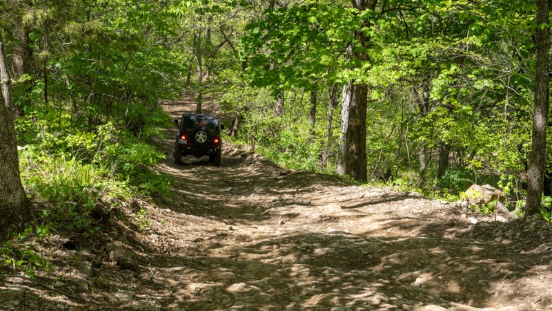
FR 720 (Jayhawk) is an easy double-track trail through the rolling prairie. Ruts and loose sand may require 4WD and extra clearance. This trail leads from FR 722 to FR 709 and crosses a large number of smaller side trails.
This entire area is actively used for cattle grazing and also for oil and natural gas production. Always leave gates as you found them.
Dispersed camping is allowed on the USFS land unless otherwise posted. However, there are very few clearings in the brush to set up a tent. There is an improved pay campground accessible from South River Road (FR 700.2)
Updated: 10/15/2024
Buckeye Boonies - Kansas Rocks Recreation Park
Harding, Kansas
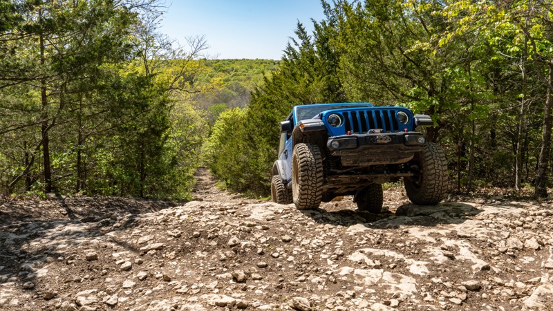
Buckeye Boonies is trail 103 within Kansas Rocks Recreational Park. The trail is part of the main loop and is an easy, bumpy dirt road with small exposed rocks. The trail traverses one steep hill and often has a shallow but sticky mud hole during wet periods. During dry conditions, this trail is suitable for any high clearance vehicle. The trail creates a complete loop with trail 102 within the park's northeast corner and passes many great hill climb trails.
Kansas Rocks Recreation Park is open on weekends, with varying hours depending on the day and the time of year. Annual passes can be purchased online, while day passes must be purchased at the time of visit.
Camping is not permitted on the trails, but camping is permitted near the office with 24 primitive camping sites, 24 RV slots, and cabin rentals. You can make reservations directly online. Amenities include fully plumbed bathrooms, a shower house, fire pits, covered pavilions, picnic tables, and electricity in the RV area.
Updated: 10/15/2024
Takanoah's Hill - Kansas Rocks Recreation Park
Harding, Kansas
Takanoah's Hill follows trails 113 and 123 to the northeast reaches of Kansas Rocks Recreational Park. The trail can be run as an out-and-back or combined with a couple of moderately steep trails to create an entire loop around the scenic northeast boundary of the park. Starting at trail 103, Takanoah's Hill crosses a small creek, passes the popular Bear Trks trail, and then snakes its way through small pine trees and grass fields before turning east and sharply climbing a long gradual grade covered in golfball-sized rocks. At the top of the incline, you will encounter the only obstacle along the trail, a short 14'' ledge with a complete bypass around one side. This is an excellent trail for beginners and highly recommended for any high clearance 4-wheel drive vehicle.
Kansas Rocks Recreation Park is open on weekends, with varying hours depending on the day and the time of year. Annual passes can be purchased online, while day passes must be purchased at the time of visit.
Camping is not permitted on the trails, but camping is permitted near the office with 24 primitive camping sites, 24 RV slots, and cabin rentals. You can make reservations directly online. Amenities include fully plumbed bathrooms, a shower house, fire pits, covered pavilions, picnic tables, and electricity in the RV area.
Updated: 10/15/2024
Shredder - Kansas Rocks Recreation Park
Harding, Kansas
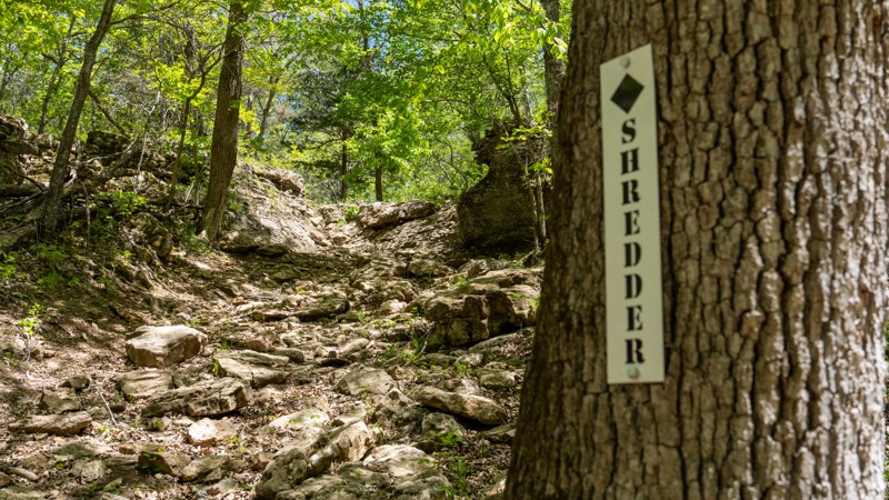
Shredder, trail number 157 within Kansas Rocks Recreational Park, is a steep hill climb with a 6'-8' vertical ledge. This ledge is a tricky obstacle as you must straddle the small notch in the center of the ledge, forcing your driver's side tires about 2 feet higher than your passenger side. A narrower vehicle could potentially stay farther right, where the wall is shortest. However, it leans you significantly off-camber to the inside of the trail. This is an extreme obstacle and should only be attempted by highly modified vehicles with rollover protection. The risk of rollover on this obstacle is extremely high.
Kansas Rocks Recreation Park is open on weekends, with varying hours depending on the day and the time of year. Annual passes can be purchased online, while day passes must be purchased at the time of visit.
Camping is not permitted on the trails, but camping is permitted near the office with 24 primitive camping sites, 24 RV slots, and cabin rentals. You can make reservations directly online. Amenities include fully plumbed bathrooms, a shower house, fire pits, covered pavilions, picnic tables, and electricity in the RV area.
Updated: 10/15/2024
Cimarron Grassland - Stolen Windmill - 765
Wilburton, Kansas
Cimarron National Grasslands is USFS land surrounding 25 miles of the Cimarron river and a portion of the historic Santa Fe Trail, located in the southwest corner of Kansas. The terrain is rolling hills with tall prairie grass and a sandy river bottom full of cottonwood trees. Hiking and 4x4 trails crisscross the area in an extensive network. The closest town for fuel and supplies is Elkhart, KS.
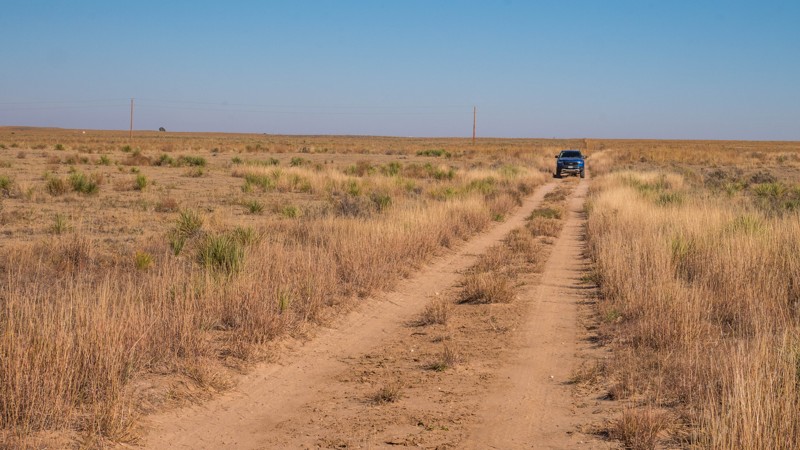
FR 765 (Stollen Windmill) is an easy dirt double-track trail that zig-zags its way across the rolling prairie. This trail makes several turns at intersections with other trails, and each portion of the trail is a little different. One section is very loose sand, which may require 4WD. Another section is very overgrown with tall brush in the road. Most of the rest is fairly smooth packed dirt.
This entire area is actively used for cattle grazing and also for oil and natural gas production. Always leave gates as you found them.
Dispersed camping is allowed on the USFS land unless otherwise posted. However, there are very few clearings in the brush to set up a tent. There is an improved pay campground accessible from South River Road (FR 700.2)
Updated: 10/15/2024
Foosball - Kansas Rocks Recreation Park
Harding, Kansas
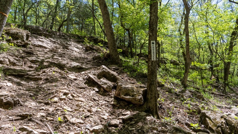
Foosball, trail number 160 within Kansas Rocks Recreational Park, is a steep hill climb out of C-2. The trail is a consistent slab of limestone rock that leans slightly off-camber to the downhill side and pitches your vehicle nearly 40 degrees as you attempt to claw your way over a 4-foot vertical ledge. Short-wheelbase vehicles will struggle with this obstacle due to the vertical face, and even long-wheelbase vehicles will struggle due to the break-over angle once cresting the ledge. The trail is best suited for a highly modified vehicle with large tires, skid plates, and lockers.
Kansas Rocks Recreation Park is open on weekends, with varying hours depending on the day and the time of year. Annual passes can be purchased online, while day passes must be purchased at the time of visit.
Camping is not permitted on the trails, but camping is permitted near the office with 24 primitive camping sites, 24 RV slots, and cabin rentals. You can make reservations directly online. Amenities include fully plumbed bathrooms, a shower house, fire pits, covered pavilions, picnic tables, and electricity in the RV area.
Updated: 10/22/2025
Ho Hummer - Kansas Rocks Recreation Park
Harding, Kansas
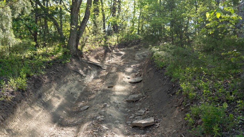
Ho Hummer, trail number 104 within Kansas Rocks Recreational Park, is a two-way, straight-through trail that climbs and follows along the Buckeye Boonies Ridge. The trail climbs a steep hill at a 23-degree angle and is made up of mainly packed dirt and small, flat rocks the size of dinner plates. Along the ridge line, the trail snakes its way between tight trees, making this trail not suitable for extremely wide or extremely long vehicles. The trail is not technical, but the steep pitch along the northern end of the trail requires 4-wheel drive to climb and a low-end transfer case to help with descending. The trail is suitable for any high clearance 4wd vehicle.
Kansas Rocks Recreation Park is open on weekends, with varying hours depending on the day and the time of year. Annual passes can be purchased online, while day passes must be purchased at the time of visit.
Camping is not permitted on the trails, but camping is permitted near the office with 24 primitive camping sites, 24 RV slots, and cabin rentals. You can make reservations directly online. Amenities include fully plumbed bathrooms, a shower house, fire pits, covered pavilions, picnic tables, and electricity in the RV area.
Updated: 10/15/2024
Cimarron Grassland - North River - 600.1
Rolla, Kansas
Cimarron National Grasslands is USFS land surrounding 25 miles of the Cimarron river and a portion of the historic Santa Fe Trail, located in the southwest corner of Kansas. The terrain is rolling hills with tall prairie grass and a sandy river bottom full of cottonwood trees. Hiking and 4x4 trails crisscross the area in an extensive network. The closest town for fuel and supplies is Elkhart, KS.
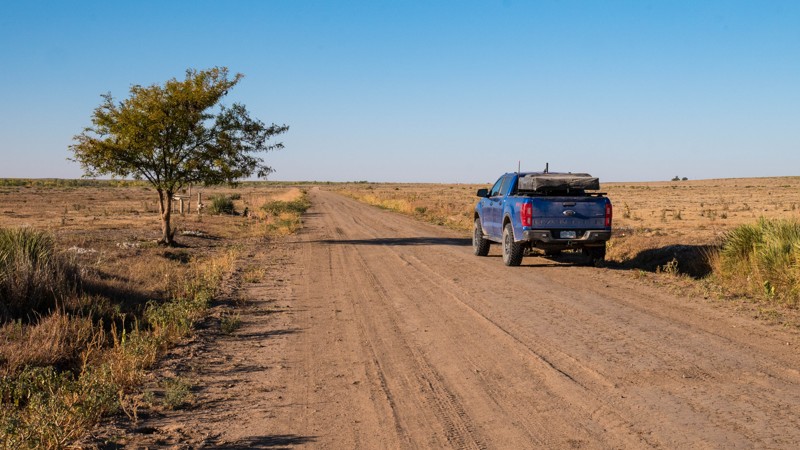
North River Road (FR 600.1) is a graded dirt road that serves as a major access artery for the entire grasslands. The route roughly follows the north bank of the Cimarron River and offers nice views and access to all the smaller trails in the area. The east end of the road continues onto a well-maintained dirt road through private land, which leads to Highway 51.
This entire area is actively used for cattle grazing and also for oil and natural gas production. Always leave gates as you found them.
Dispersed camping is allowed on the USFS land unless otherwise posted. However, there are very few clearings in the brush to set up a tent. There is an improved pay campground accessible from South River Road (FR 700.2)
Updated: 10/15/2024
Liebers Ledges - Kansas Rocks Recreation Park
Harding, Kansas
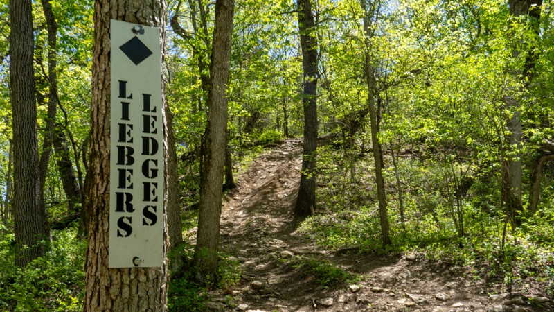
Liebers Ledges, trail number 150 within Kansas Rocks Recreational Park, is a long hill climb trail that begins at C-2 and ends at Spring Rattler. The trail can be run in either direction, but it is best to travel uphill. The climb is comprised of loose dirt and chunky limestone, with a few serving plate-sized rocks near the top. The largest ledge along the trail is roughly 10-12''. Although possible in an aggressive stock vehicle, this trail is best suited for modified vehicles with lifts and larger tires.
Kansas Rocks Recreation Park is open on weekends, with varying hours depending on the day and the time of year. Annual passes can be purchased online, while day passes must be purchased at the time of visit.
Camping is not permitted on the trails, but camping is permitted near the office with 24 primitive camping sites, 24 RV slots, and cabin rentals. You can make reservations directly online. Amenities include fully plumbed bathrooms, a shower house, fire pits, covered pavilions, picnic tables, and electricity in the RV area.
Updated: 10/15/2024
Cimarron Grassland - 603
Wilburton, Kansas
Cimarron National Grasslands is USFS land surrounding 25 miles of the Cimarron river and a portion of the historic Santa Fe Trail, located in the southwest corner of Kansas. The terrain is rolling hills with tall prairie grass and a sandy river bottom full of cottonwood trees. Hiking and 4x4 trails crisscross the area in an extensive network. The closest town for fuel and supplies is Elkhart, KS.
FR 603 leads from the Cimarron Recreation Area, which includes a pay campground, picnic areas, and fishing ponds at the south, to North River Road (FR 600.2). It is a rough dirt road but should not pose many challenges for any stock 4x4 or AWD SUV. The trail crosses the Cimarron River, which is usually dry and very soft sand. 4WD may be required to cross this section. If the river is flowing, it may be impassable. Be aware of flash floods which are common in this area.
This entire area is actively used for cattle grazing and also for oil and natural gas production. Always leave gates as you found them.
Dispersed camping is allowed on the USFS land unless otherwise posted. However, there are very few clearings in the brush to set up a tent. There is an improved pay campground accessible from South River Road (FR 700.2)

Upgrade your Membership
Unlock all of the details on every Trail Guide and Scout Route.
Start a 7-day Free TrialCommunity
Partners

