


By clicking "ACCEPT", you agree to be the terms and conditions of each policy linked to above. You also agree to the storing of cookies on your device to facilitate the operation and functionality of our site, enhance and customize your user experience, and to analyze how our site is used.
Georgia Off-Road Trails
61
Total Trail Guides 53

432
Detailed Waypoints 33
Try a Free 7-Day Trial and unlock it all
Start a Free Trial Most Recent Trail Reviews
Rated 4/5
Open
Visited: 09/05/2026
Has been really washed out during the recent storm and now has a huge rock in one of the ruts where the bypass is. Lots of downed trees most have been cleared off the road enough to make passable. I w...

AR
Andrew reed
No Rating
Open
Visited: 09/05/2026
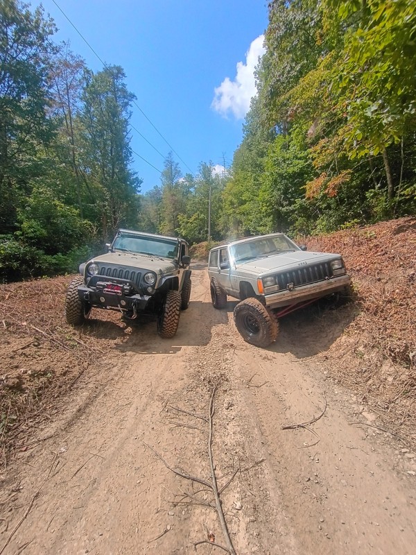
Pretty easy trail. I did not have to use 4wd but I imagine if I rode in rainy weather I would of needed it.
CI
Cory Inman
No Rating
Open
Visited: 09/02/2026
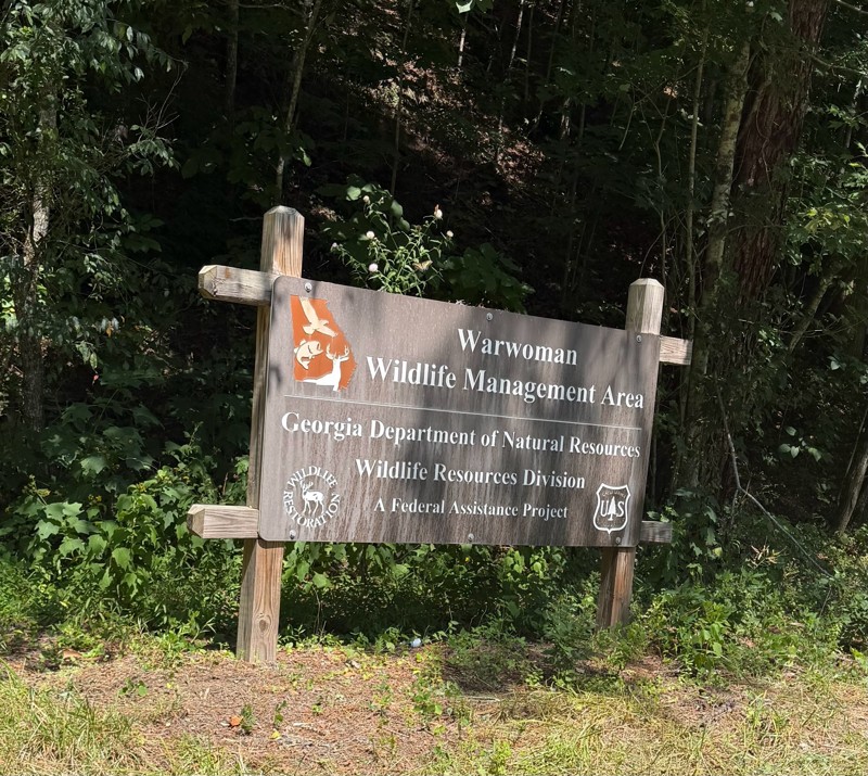
Easy in and out road. There were a few ruts but nothing crazy. There was a couple of good camping sites.
KC
Kim Conard
Rated 5/5
Open
Visited: 08/23/2026
completed trail today west to east. bumpy but not difficult. most difficult part is the big rutted out hill near the river, if you drive west to east you'll have gravity on your side but im certain m...
LL
Luke LoRusso
No Rating
Open
Visited: 08/11/2026
Per the MVUM, the trail is seasonally open. As always, check current fire restrictions/closures before venturing out.

Trails Offroad
Official Crew
No Rating
Open
Visited: 08/11/2026
Per the MVUM, the trail is seasonally open. As always, check current fire restrictions/closures before venturing out.
Trails Offroad
Official Crew
No Rating
Open
Visited: 08/11/2026
Per the MVUM, the trail is seasonally open. As always, check current fire restrictions/closures before venturing out.
Trails Offroad
Official Crew
No Rating
Open
Visited: 08/11/2026
Per the MVUM, the trail is seasonally open. As always, check current fire restrictions/closures before venturing out.
Trails Offroad
Official Crew
No Rating
Open
Visited: 08/11/2026
Per the MVUM, the trail is seasonally open. As always, check current fire restrictions/closures before venturing out.
Trails Offroad
Official Crew
No Rating
Open
Visited: 08/11/2026
Per the MVUM, the trail is seasonally open. As always, check current fire restrictions/closures before venturing out.
Trails Offroad
Official Crew
No Rating
Open
Visited: 08/11/2026
Per the MVUM, the trail is seasonally open. As always, check current fire restrictions/closures before venturing out.
Trails Offroad
Official Crew
No Rating
Open
Visited: 07/30/2026
Easy ride. The last little bit is a washboard from recent rains. It’s a little bumpy.

Danny Thompson
No Rating
Open
Visited: 07/25/2026
Update: trail is open but with more rain lately, the bottom half of the trail is becoming alot rougher than our last time 3 months ago. Several wash out ruts and larger rocks are beginning to collect ...
BM
Brian Mason
Rated 5/5
Open
Visited: 07/25/2026
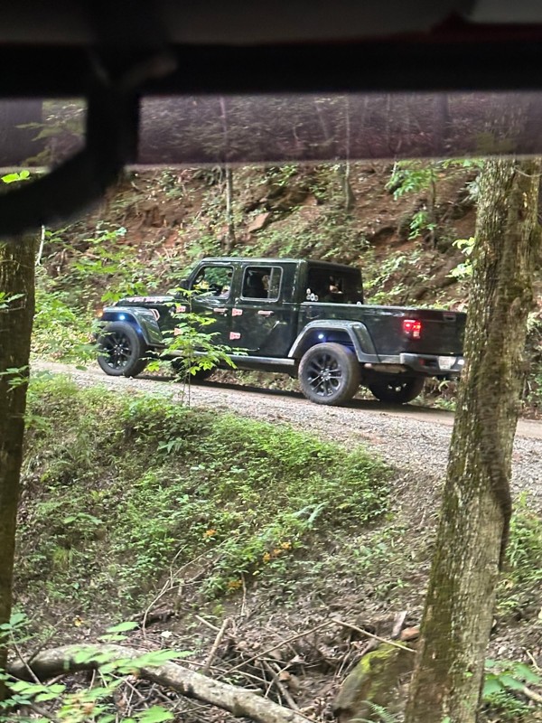
Drove up to where road meets with Corbin Creek Rd. First half is simple gravel paved roads. After that it turned into the typical service road with larger rocks. could have done this road in 2wd. A co...
BM
Brian Mason
Rated 5/5
Open
Visited: 07/25/2026
After a hard rain this morning, trail is still open to what would be a 4th creek crossing. A couple of muddy spots but never took Jeep Gladiator out of 2wd.
BM
Brian Mason
Rated 4/5
Open
Visited: 07/09/2026
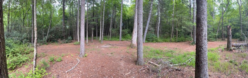
I only did the southern part, having got on at the intersection with Indian Grave Gap road and headed south. Completely smooth apart from one small area with a mud hole. plenty of stopping places for ...
MA
Mark Arnold
No Rating
Open
Visited: 07/09/2026
Easy trail for beginners, trail had caution tape stretched across it at Chattahoochee campground. I ignored it and continued on. No problems getting through.
MA
Mark Arnold
No Rating
Temporary Closure
Visited: 07/09/2026
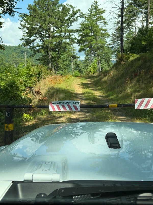
Both gates closed, not sure if temporary or permanent.
MA
Mark Arnold
No Rating
Partially Open
Visited: 07/08/2026
roads closed on both ends for repair on good roads. lol but you can walk in about 12 a mile

Destanie Whitmire
No Rating
Partially Open
Visited: 07/01/2026
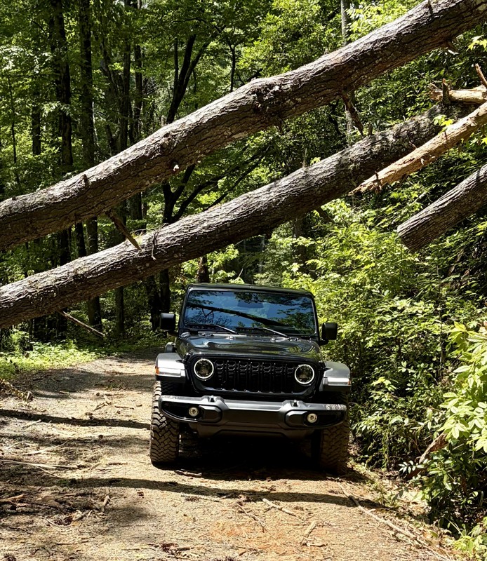
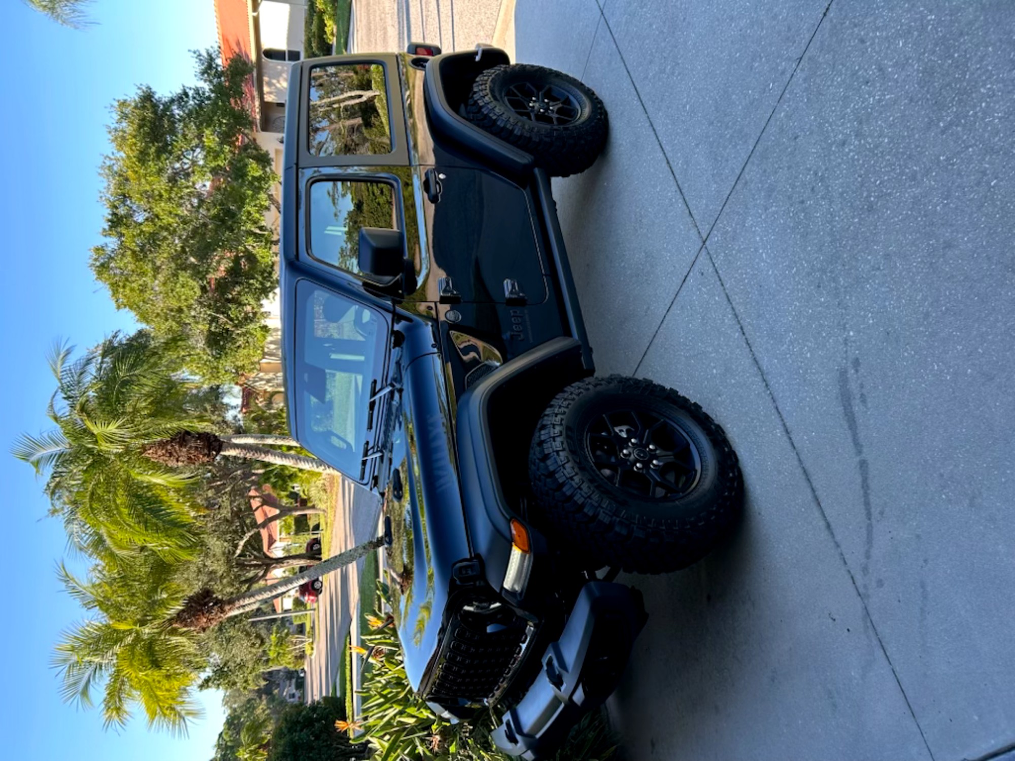
Bring your chain saw and watch out for low ceilings!!!
Tim Martin
No Rating
Open
Visited: 06/30/2026
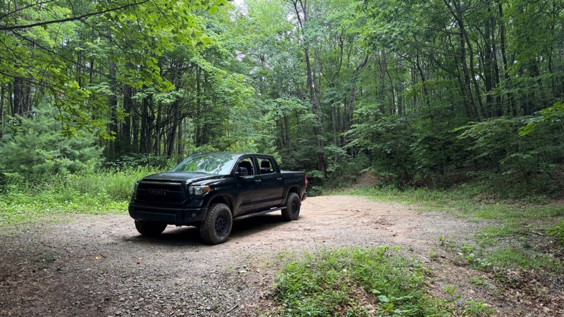
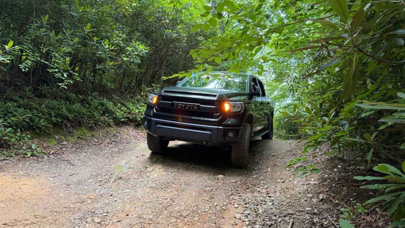
This trail appears to have been regraded at some point after the Scout Route was originally published. It is still a nice drive, with a few waterfalls and camp spots along the way. Once you get past t...

Thad Black
Rated 5/5
Open
Visited: 06/30/2026
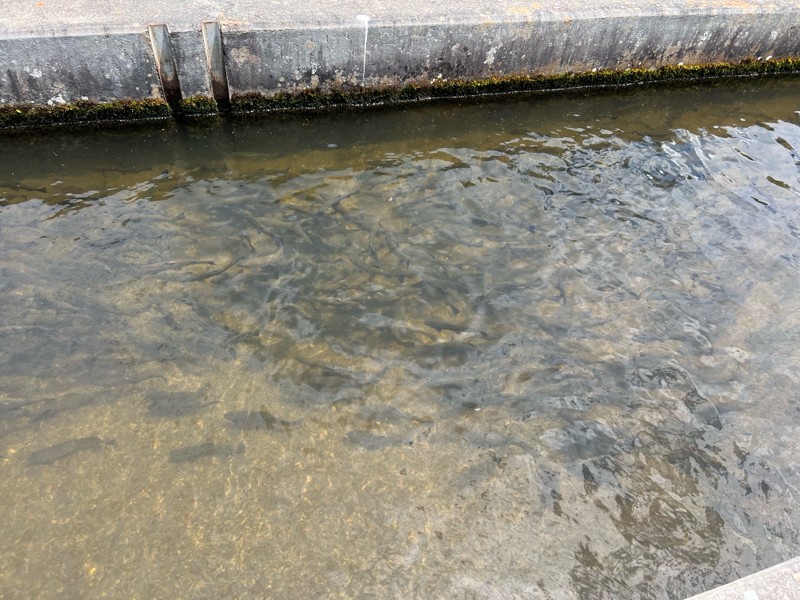
Easy trail wide and very open. The fish hatchery was really cool to see and a fun addition to the trail.
DL
Demetrius leitzsey
Rated 5/5
Open
Visited: 06/28/2026
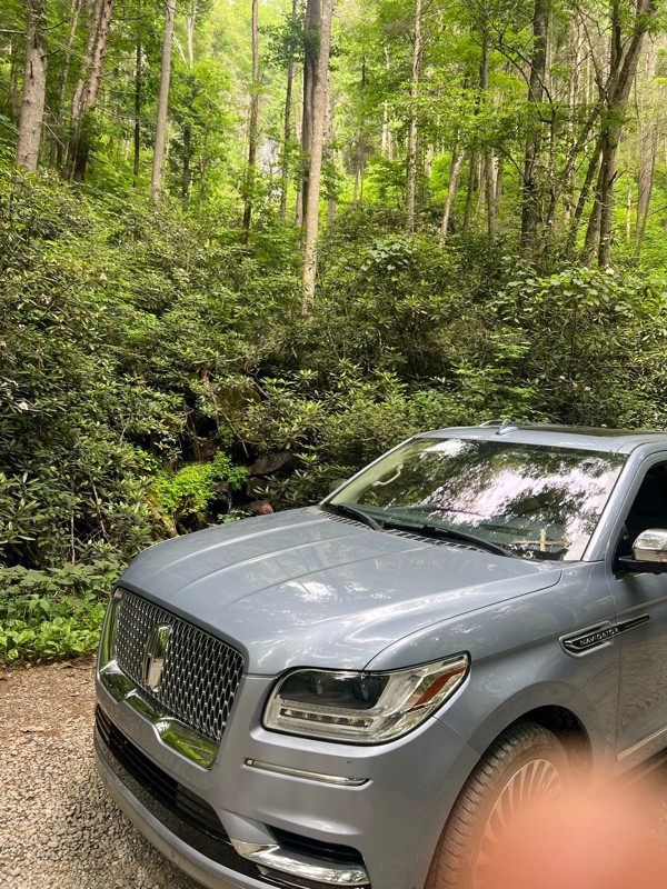
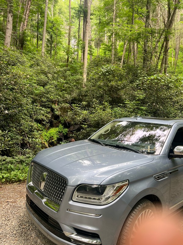
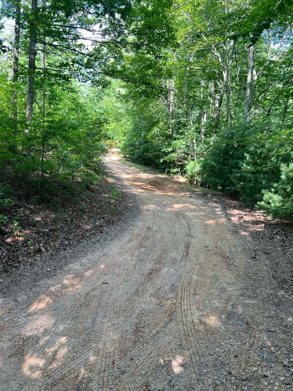
Great trail! Not very busy and easily completed in my 18 Navigator. This was my first trail ride ever. Thank you everyone for the reviews and advice.
DL
Demetrius leitzsey
Rated 4/5
Open
Visited: 06/27/2026
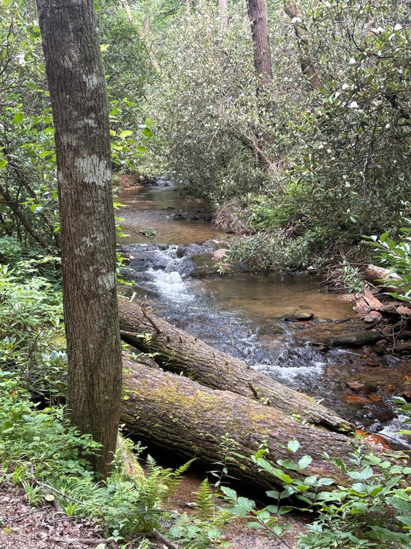
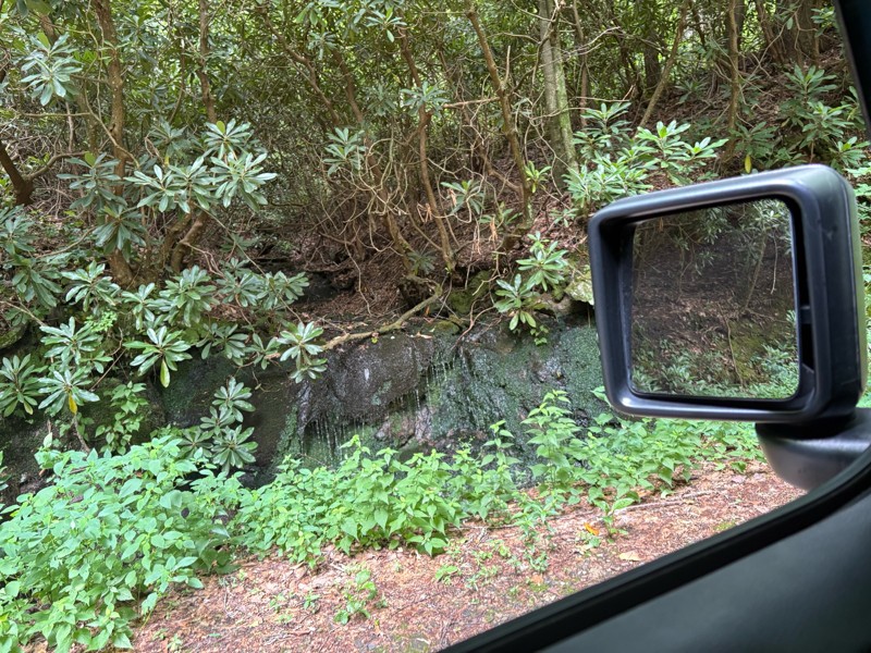
Beautiful scenery on this ride I would say it’s a lot easier than a two we drove from South to North. I could see needing four-wheel-drive in some sections when it’s very wet.
AR
Andrew reed
Rated 5/5
Open
Visited: 06/27/2026
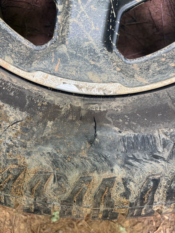
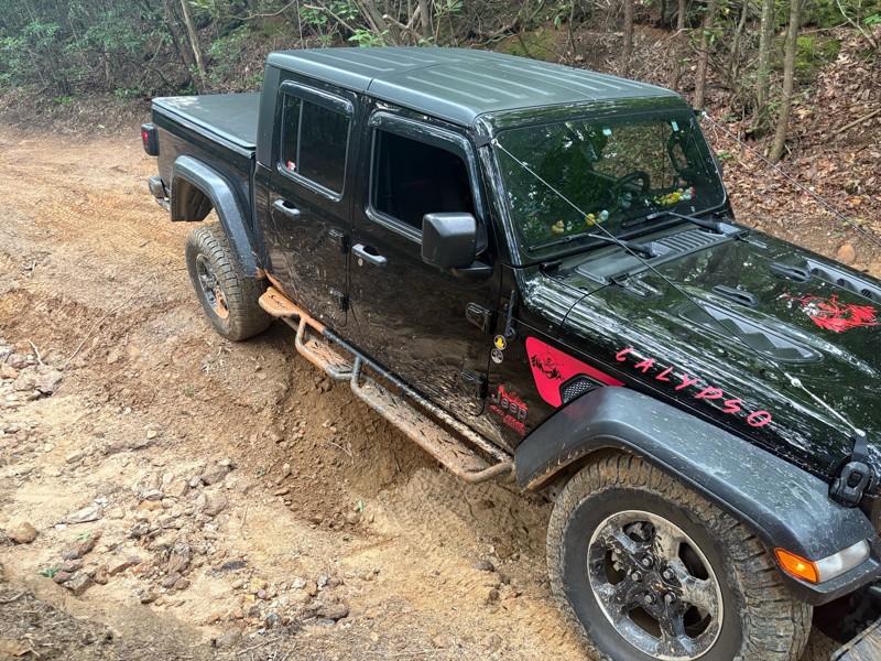
Most of the trail is fairly easy there is a few technical spots. If you pick your line it’s no problem. There is one section about a half mile in if you’re coming from north to south that there is a b...
AR
Andrew reed
No Rating
Open
Visited: 06/26/2026
Very nice beginners trail. This was my first time trail riding EVER, and it was all I have ever dreamed of!
J
Jill
Rated 5/5
Open
Visited: 06/26/2026
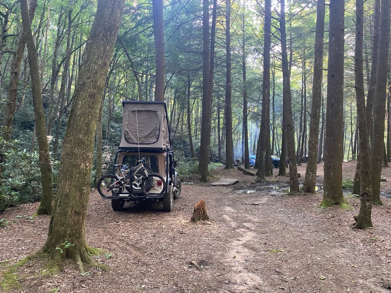
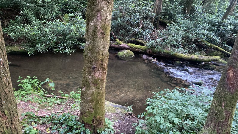
Very cool road, camping by the creek was awesome.
CV
Cesar Valencia
No Rating
Open
Visited: 06/26/2026
According to Agency date data, this trail should be open for the season.
Trails Offroad
Official Crew
No Rating
Open
Visited: 06/26/2026
According to MVUM data, this trail should be open for the season.
Trails Offroad
Official Crew
No Rating
Open
Visited: 06/26/2026
According to MVUM data, this trail should be open for the season.
Trails Offroad
Official Crew
No Rating
Open
Visited: 06/26/2026
According to MVUM data, this trail should be open for the season.
Trails Offroad
Official Crew
No Rating
Open
Visited: 06/26/2026
According to MVUM data, this trail should be open for the season.
Trails Offroad
Official Crew
No Rating
Open
Visited: 06/26/2026
According to MVUM data, this trail should be open for the season.
Trails Offroad
Official Crew
No Rating
Open
Visited: 06/26/2026
According to MVUM data, this trail should be open for the season.
Trails Offroad
Official Crew
No Rating
Open
Visited: 06/26/2026
According to MVUM data, this trail should be open for the season.
Trails Offroad
Official Crew
No Rating
Open
Visited: 06/26/2026
According to MVUM data, this trail should be open for the season.
Trails Offroad
Official Crew
No Rating
Open
Visited: 06/26/2026
According to MVUM data, this trail should be open for the season.
Trails Offroad
Official Crew
No Rating
Open
Visited: 06/26/2026
According to MVUM data, this trail should be open for the season.
Trails Offroad
Official Crew
No Rating
Open
Visited: 06/26/2026
According to MVUM data, this trail should be open for the season.
Trails Offroad
Official Crew
No Rating
Open
Visited: 06/26/2026
According to MVUM data, this trail should be open for the season.
Trails Offroad
Official Crew
No Rating
Open
Visited: 06/26/2026
According to MVUM data, this trail should be open for the season.
Trails Offroad
Official Crew
No Rating
Open
Visited: 06/26/2026
According to MVUM data, this trail should be open for the season.
Trails Offroad
Official Crew
Rated 5/5
Open
Visited: 06/20/2026
A few bumpy/rocky sections but very doable. Saw some Subarus and trucks in addition to Jeeps!
DT
Dottie Tieslau
Rated 5/5
Open
Visited: 06/16/2026
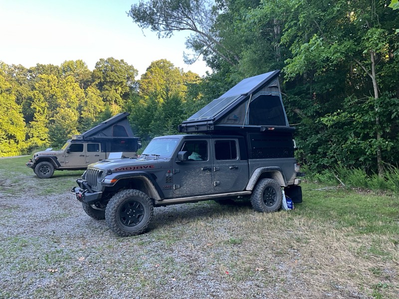
This is were we spent Tuesday night nice camp site next to the creek had a tree across the creek as a bridge. This was a fun night.

Earl Neisler
No Rating
Open
Visited: 06/16/2026
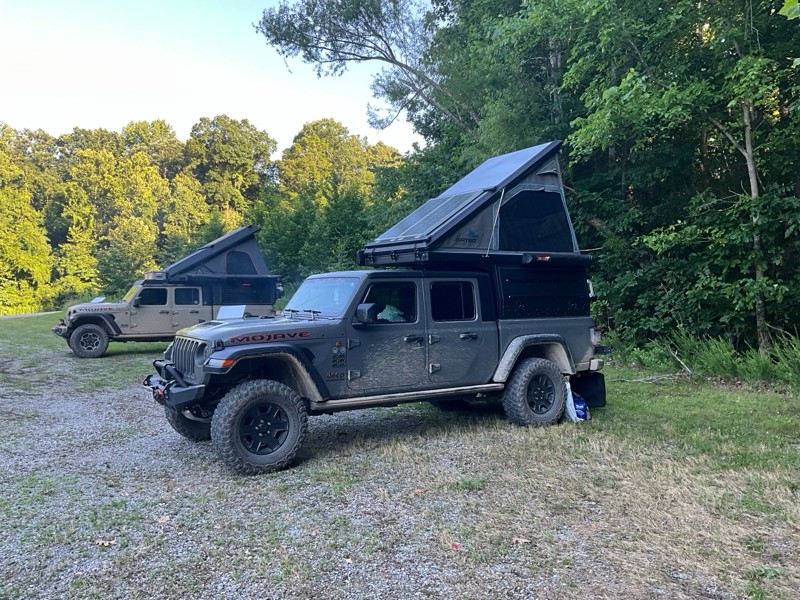
We tried to run from west to east starting at point 10. There was a tree down at 10 our tall rigs would not fit under. So we went to point 1 and ran to the swing bridge. Fun times on the hike.
Earl Neisler
Earl Neisler
Earl Neisler
No Rating
Open
Visited: 06/14/2026
Started late and spent the night at Hickory Creek campground small, and worked well for our needs. The trail rating was spot on.
Earl Neisler
Rated 4/5
Open
Visited: 06/13/2026
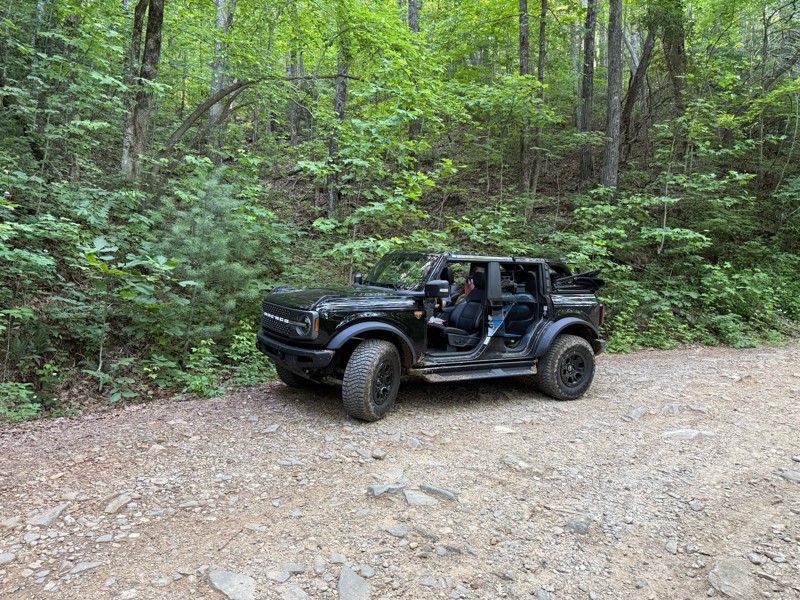
Beautiful scenery. A few dips and rocky sections but overall easy drive.
LB
Lara Boldin
Rated 5/5
Open
Visited: 06/13/2026
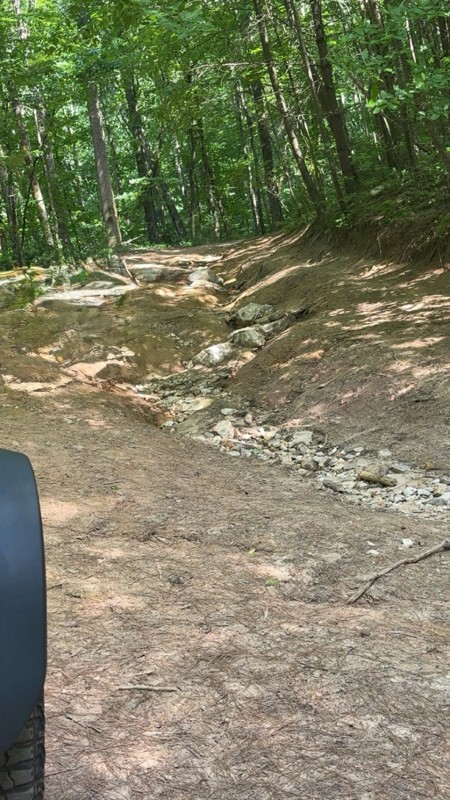
We went north to south, waypoint 1 to 3. The reviews are right on. It is rutted and very rocky but we had a blast. We went slow and picked lines carefully through the trail. No problems in my Bronco i...
LB
Lara Boldin
Most Popular

Updated: 06/29/2026
Mill Creek
Crandall, Georgia
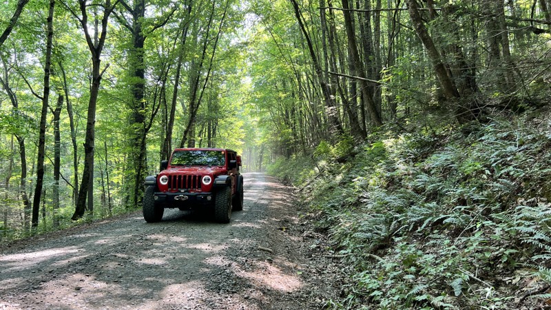
Mill Creek provides one of the few access points to the Cohutta Wilderness Loop. The road is gravel and can be steep and curvy in spots. At points in the drive, you parallel Mill Creek and can hear the sounds of rushing water. One prime dispersed campsite is on the route, and further east on the road, you reach the Hickey Gap Campground, which is first come, first served. It has one vault toilet.

Updated: 08/11/2026
Blue Springs Branch
Sugar Valley, Georgia
Blue Springs Road is part of the web of gravel roads in the southernmost section of the John's Mountain Wildlife Management Area. This seasonal road is popular among hunters with its numerous wildlife openings and clearings. Named after the nearby creek, it actually climbs and follows the ridge, offering outstanding views through the trees of the valley below during the winter months when the leaves are all gone. It is mostly gravel with sections of embedded rock and has a few scattered small roadside campsites along the way. This road is closed from the middle of May to the middle of August.
Updated: 11/05/2024
Old Highway 2
Alaculsy, Georgia
Old Highway 2 is entirely on private land and provides access to the Chattahoochee National Forest roads that loop around the Cohutta Wilderness Area. The road passes residential areas, and keeping the speed and dust down when passing through is best. Entirely gravel, it has steeper sections and blind curves but is suitable for any vehicle. No camping is available on this route.

Updated: 12/16/2024
Old Satterfield Road
Blairsville, Georgia
Old Satterfield Road is an easy dirt road topped with crushed rock and used to access the western trailhead of the Chattahoochee National Forest's Beasley Knob OHV Trail System. The road is 1.5-2 vehicles wide and travels just over a half mile before ending at the Satterfield Trailhead, a large parking area. This trailhead has two vault toilets and is scheduled for additional improvements, including picnic tables. The road is suitable for any passenger vehicle, including trucks and trailers. A gate near the beginning of the road is seasonally closed from January until Mid-March and is also subject to closure during periods of wet weather.
For the most current, up-to-date gate information, call the Blue Ridge Ranger District Office, Monday through Friday, 8:00 am - 4:30 pm, at 706 745-6928.

Updated: 07/02/2024
Porter Gap Road
Clayton, Georgia
Way off the beaten path west of Clayton, Georgia, lies Porter Gap Road. This short and scenic trail follows along Lion Mountain all the way to Porter Gap. Surrounded the entire way by sights and sounds of nature, this trail is a great place to escape the masses and find a secluded camping or hunting spot or just spend a day in the forest.

Updated: 10/08/2022
Pear Orchard Loop
Toccoa, Georgia
Just outside Toccoa lies Pear Orchard Loop. This seasonal side trail off Currahee Mountain Road is a short but fun rarely used trail. Popular with hunters and hikers, it features access to numerous hiking and mountain biking trails such as the Pear Orchard Loop Trail, Perimeter Trail, and Lathan Cemetery Loop. Pear Orchard Loop also features one of the few roadside dispersed camping areas within this part of the forest.

Updated: 08/15/2026
Augustine Gap Road
Scorpion Hollow, Georgia
One of the most beautiful and scenic roads in all of Georgia, Augustine Gap winds its way through the mountain ridges around Jasus Creek. Riding the ridge, the lack of trees and brush on one side or the other mesmerizes you with outstanding views of the mountains and the valley below. Although there are no obstacles, technical spots, or potholes, this road is extremely steep and very narrow, with steep drop-offs and almost no passing spots, making it suitable for any stock 4x4 vehicle.
A few clearings are suitable for camping but not nearly as good as the connecting Chattahoochee River Road, FSR 44.
This seasonal road is only open a few weeks per month, from September through December. The dates vary slightly each year. Check the dates before visiting via the Forest Service website.

Updated: 09/15/2026
Walnut Fork
Pine Mountain, Georgia
Walnut Fork is a nice little inside the Warwoman WMA. The trail connects Sarah's Creek and Dan Gap and makes for a beautiful looping drive through the forest. The trail continues traveling west, beyond Dan Gap, as begins to slowly degrade. Gravel gives way to dirt and mud with several shallow washes and the occasional mud hole.
There are several wild campsites along the route, with only rock-lined fire pits and the occasional picnic table. Most sites are large and suitable for 2-3 vehicles. The trail dead-ends at a closed gate and a very large campsite/clearing that could host 5-6 vehicles.
Several hiking trails and one horse trail intersect with Walnut Fork, so be mindful of hikers and horses. Otherwise, enjoy the ride and the beautiful forest scenery.

Updated: 12/16/2024
Rosemary Drive
Blairsville, Georgia
Rosemary Drive is an easy dirt road topped with crushed rock and used to access the northern Blue Rock Trailhead of the Beasley Knob OHV Trail System. The narrow road, at only a single lane in width, winds through the thick forest for 1.2 miles, ending at a large parking area with a raised OHV loading ramp. This road is suitable for any passenger vehicle. However, due to the narrowness and endless blind corners, trucks towing trailers would find a more convenient access point from the western trailhead off Old Satterfield Road, FS-851. Be aware that the road passes several private drives, and users should always abide by posted signage. A gate along this road is seasonally closed from January until Mid-March and is also subject to closure during periods of wet weather.
For the most current, up-to-date gate information, users should call the Blue Ridge Ranger District Office, Monday through Friday, 8:00 am - 4:30 pm, at 706 745-6928.

Updated: 10/15/2024
Moose Finch
Stephens, Georgia
Moose Finch, located in the heart of the Oconee National Forest, is a fairly easy graded dirt trail with plenty of potholes. Expect dust on dry days and mud on rainy days. There's a single shallow water crossing with a sandy bottom roughly halfway through the route. Higher water levels may occur in rainy weather.
There are no dispersed campsites along this trail. However, nearby Scull Shoals Experimental Forest Trail has dispersed campsites. If you are looking for an established campground, the Oconee River Campground is nearby. The campground has five campsites with tables, tent pads, and charcoal grills available to campers. No reservations are required, but each site costs $5.00 daily and is on a first-come, first-served basis

Updated: 08/11/2026
Mill Creek
Macedonia, Georgia
Located in Georgia's beautiful Chtahoochee-Oconee National Forest, Mill Creek is a short out-and-back trail that ends at the Tray Mountain Wilderness Area. This trail is in the heart of Georgia’s 19,000-acre Swallow Creek Wildlife Management Area offering endless hunting, hiking, primitive camping, and wildlife viewing. The forest boasts a rich array of towering hardwood trees, including oak, hickory, and maple, as well as white pine and hemlock evergreens. The fall color here displays nature’s beauty at its best. While campsites along other trails in the vicinity tend to be crowded, this trail offers a few hidden gems. Mill Creek begins as a paved road through a rural neighborhood, but the real beauty is where the blacktop ends and your adventure begins.

Updated: 02/09/2026
Willis Knob
Pine Mountain, Georgia
Willis Knob serves as an access road to the Willis Knob horse campground in the Chattahoochee National Forest. The campground isn't far once you turn off the pavement, but the Willis Knob trail continues on for several miles. Like other trails in the area, the further you go, the more degraded the trail becomes. The trail is easy until the 6-mile mark, where 4WD and high clearance are likely required to traverse a very deep and long washout. Prior to this point, 2WD will do just fine. Also, beware of fallen trees that have been just barely cleared from the trail. These trees could easily tag the side of a vehicle if not cautious.
You can expect to see ample greenery in the warmer months and plenty of wildlife if you take it slow and quiet. You may even catch a crawfish hopping from mud hole to mud hole.
Willis Knob horse campground is available by reservation only. No other dispersed camping along the road exists.
Updated: 11/05/2024
Murrays Lake
Alaculsy, Georgia
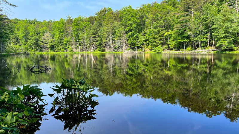
Murrays Lake Road is a beautiful side excursion when driving the Cohutta Wilderness Loop and should not be missed. It veers off of West Cowpen and is slightly rougher, giving you a more immersive experience. While short, it leads to its namesake, Murrays Lake, which is complete with a light boat launch for small watercraft. Camping is not allowed near the lake, nor were sites noted on the way to the lake.

Updated: 08/11/2026
93F - Connector
Blairsville, Georgia
93F is a hill climb trail within the Beasley Knob OHV Trail System. This short and steep climb connects 93D to 93C along the western edge of Jones Knob. The trail is mainly packed clay peppered with softball and dinner plate-sized rocks. Deep ruts the entire trail length require larger tires to avoid dragging differentials. The trail is one vehicle wide the whole length, with one cut-in water bar that could be used to pass oncoming traffic. This pull-out is only large enough to accommodate one or two vehicles, so be sure to scout for oncoming traffic before attempting the trail in either direction. The preferred direction of travel is uphill, driving south to north. This trail is best suited for modified vehicles with larger tires. Traction aid devices such as lockers will come in handy during wet conditions.
This trail is seasonally closed from January until Mid-March and is also subject to closure during periods of wet weather.
For the most current, up-to-date gate information, call the Blue Ridge Ranger District Office, Monday through Friday, 8:00 am - 4:30 pm, at 706-745-6928.

Updated: 08/11/2026
93E - Hill Climb
Blairsville, Georgia
93E, as the Forest Service name suggests, is a hill climb trail within the Beasley Knob OHV Trail System. This short climb connects 93D to 93C along the northern edge of Jones Knob. The trail is mainly packed clay with sporadic, fist-sized rocks. The climb is steep but relatively smooth, making for extremely slick conditions if moisture is present. The trail is two-way but only wide enough for one vehicle. Be sure to scout for oncoming traffic before attempting the trail in either direction. The preferred direction of travel is uphill, driving east to west. This trail is suitable for any high clearance 4x4.
This trail is seasonally closed from January until Mid-March and is also subject to closure during periods of wet weather.
For the most current, up-to-date gate information, call the Blue Ridge Ranger District Office, Monday through Friday, 8:00 am - 4:30 pm, at 706-745-6928.

Updated: 10/15/2024
Poplar Stump Road
Scorpion Hollow, Georgia
Poplar Stump Road is a short but very secluded hunter's road that branches off from the ever-popular Chattahoochee River Road and heads into the depths of the mountains. Following up the ridge of Horsetrough Mountain, the road skirts the border of the Mark Trail Wilderness almost to the famous Appalachian Trail. While it has no obstacles or technical spots, it gets steep, and there were minor off-camber sections towards the top, making this trail suitable for any stock 4x4 vehicle. The road abruptly ends with nowhere to turn around, so you must backtrack to the safest place to turn around.
This seasonal road is only open a few weeks per month, from September through December. The dates vary slightly each year. Check the dates before visiting via the Forest Service website.
Updated: 11/05/2024
Cisco Alaculsy
Alaculsy, Georgia
Cisco Aluculsy, when traveling north to south, starts from Peavine Sheeds Creek Road. The easy gravel surface is suitable for any vehicle. It immediately crosses the scenic Conasauga River over a bridge with steel girders. It passes the Cottonwood Campground, a horse camp. There is no dispersed camping specifically on this road. While this is a forest service road, it is sometimes called Chable Road.

Updated: 12/27/2024
Allison Ridge Road
Yonah, Georgia
Just across from Smithgall Woods State Park lies Allison Ridge Road. This short, well-groomed trail follows the base of Ash Mountain and briefly crosses the boundary into the state park and then into the Chattahoochee Wildlife Management Area. Popular with hunters, this trail had no obstacles or potholes, making it suitable for most passenger vehicles. The narrow trail and lush green canopy provide a feeling of seclusion before winter, and the lack of leaves opens views of the surrounding mountains through the trees.
This seasonal road is only open a few weeks per month, from September through December. The dates vary slightly each year. Check the dates before visiting via the Forest Service website.

Updated: 08/11/2026
Dunn Branch
Nimblewill, Georgia
A short and scenic trail not too far from Dahlonega, Dunn Branch is one of many Forest Service roads in the Blue Ridge Ranger District of the Chattahoochee National Forest. Popular with hunters during deer and turkey seasons, this rarely traveled trail is also right near the Whissenhunt Off-Highway Vehicle trail system. With so many other trails in the immediate area, Dunn Branch is a fun off-the-beaten-path road to explore.
There is a small clearing where camping would be possible at the end of the trail. Dispersed camping is allowed throughout the Chattahoochee National Forest including nearby Forest Service Road 28-1 and Coopers Gap Road. While there are no improved campgrounds in the area, nearby Amicalola State Park offers camping, cabins and lodging.

Updated: 09/29/2025
Gillespie Branch
Owltown, Georgia
Gillespie Branch is just south of Blairsville, right outside the Coopers Creek Wildlife Management Area. Following along the ridge of Bowers Mountain, this short trail is often overlooked because of the trailhead's remote location. Surrounded by sights and sounds of nature the entire way, this easy trail is a great addition to any day out exploring the mountain forests. This is a basic gravel Forest Service road with 1 mild water crossing, so high clearance is required.
While dispersed camping is allowed throughout the Chattahoochee National Forest, there are no clearings along this short trail that are good for camping. The road continues for foot traffic only after the road closed sign and camping could be possibly be found further down the road. West Wolf Creek Road is nearby and has numerous excellent dispersed camping areas along with Duncan Ridge Road with more dispersed camping areas. The improved Mulky Campground is not far away on Mulky Gap Road, with eleven campsites, and has an outhouse restroom, grill, picnic tables, and lantern posts. Additionally, Vogel State Park is nearby and offers camping, cabins, and heated yurts.

Updated: 08/11/2026
Dixon Branch
Owltown, Georgia
Right in the middle of the Coopers Creek Wildlife Management Area lies Dixon Branch, a short seasonal trail also known as Ridge Runner Trail. This rarely traveled trail runs along the base of Dunsmore Mountain and Parke Knob all the way to Fish Gap. There is an access point to the Duncan Ridge Hiking Trail, a strenuous trail for experienced backpackers with one of the most challenging climbs in the country at the end of this road. If you are looking for hiking, camping, or just out exploring the forest, Dixon Branch is a fun, easy trail to hit if you are in the area.

Updated: 08/11/2026
Mart Helton Ranch B Road
Suches, Georgia
Just north of Suches, Georgia, lies the Cooper Creek Wildlife Management Area, one of Georgia's larger Wildlife Management Areas spanning more than 30,000 acres. Tucked inside is Mart Helton Branch B Road, a short side trail of Cooper Creek Road. This rarely traveled seasonal side trail follows along Helton Creek and then climbs almost to the top of Davis Mountain. Whether you're looking to get away from the crowds or just out exploring the mountains, don't overlook this road.
Dispersed camping is available along this trail. Dispersed camping is also available along the connecting trail, Cooper Creek Road. The improved Mulky Campground is nearby and has 11 campsites, vault restrooms, grills, and picnic tables. The Lake Winfield Scott Recreation Area is also nearby on the other side of the Coopers Creek Wildlife Management Area. The recreation area offers tent and RV camping, cabin rentals, and full facilities, including hot showers.

Upgrade your Membership
Unlock all of the details on every Trail Guide and Scout Route.
Start a 7-day Free TrialCommunity
Partners

