
The Bradshaw Trail (69.21 miles away)
Blythe, California
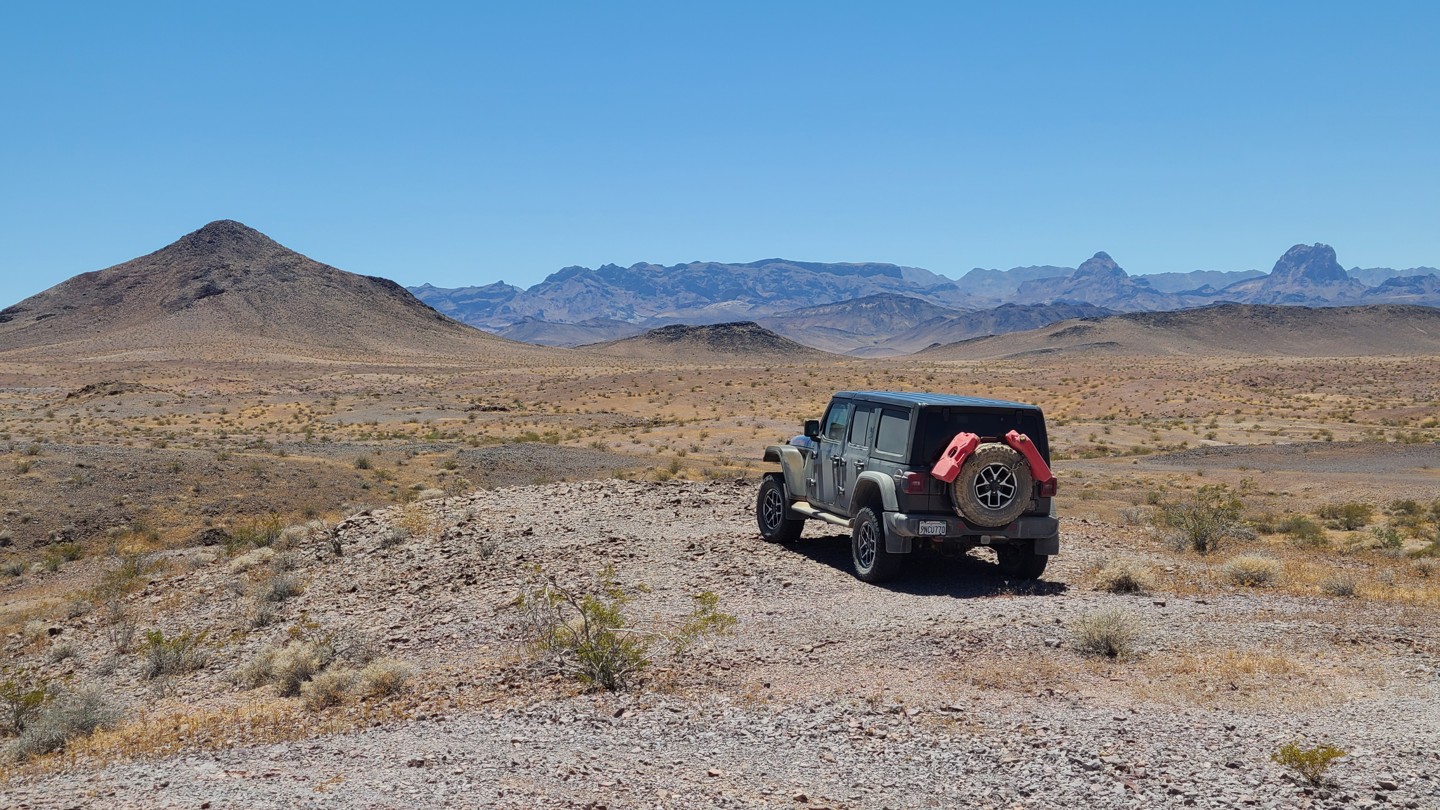

Pyramid Peak Road crosses the rolling terrain of the Whipple Mountains, weaving through low ridgelines and desert foothills. Several hiking and motorized side routes branch off along the way, many leading to abandoned mining and mill sites scattered throughout the area. Higher elevations along the route provide wide western views across the desert toward the Turtle Mountains.
The entire route is part of Eastern Mojave Heritage Trail (EMHT) Segment 4, a curated 145-mile section of the larger 733-mile EMHT network. Segment 4 highlights some of the most remote terrain in the Eastern Mojave and is managed through a partnership between the Bureau of Land Management and the Mojave Desert Heritage and Cultural Association.
The route is entirely on BLM land, and dispersed camping is permitted throughout. Only a few established dispersed campsites are visible from the main road, with better camping found nearby along side routes. The best option is near the ruins of the Juanita Rose Mine, accessed via a short drive up NS639, where existing fire rings and expansive views provide a scenic camping area.