
The Bradshaw Trail (68.39 miles away)
Blythe, California
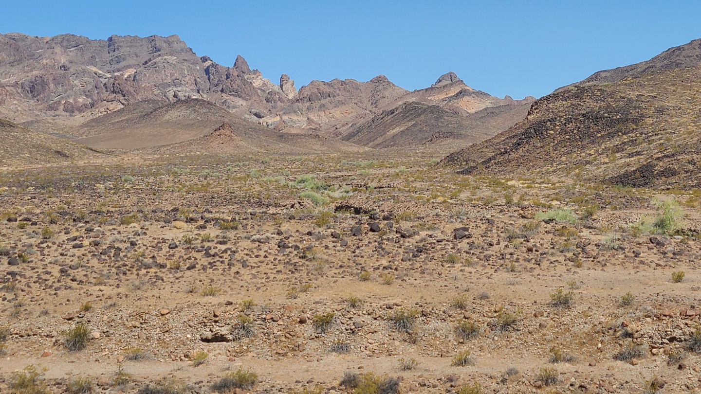

NS495 ends at the boundary of the Turtle Mountains Wilderness, where broad views open across a rugged desert basin to the Turtle Mountains. The west end of the route also passes an old mining site, where a collapsed miner’s cabin and scattered artifacts still remain. Near the east end, an abandoned ore-processing site includes a standing hopper and shaker deck that make for another worthwhile stop along the trail.
The eastern portion of the route, east of the NS499 junction, is part of Eastern Mojave Heritage Trail (EMHT) Segment 4. Segment 4 is one section of the larger 733-mile EMHT network and provides a 145-mile tour through some of the most remote terrain in the Eastern Mojave. The trail network is managed through a partnership between the Bureau of Land Management and the Mojave Desert Heritage and Cultural Association.
Good dispersed camping can be found at both ends of the route, including near the abandoned miner’s cabin on the west end and the ore-processing site on the east end. Large, flat campsites with existing rock fire rings can accommodate multiple vehicles.
This is an easy trail overall, though the lightly traveled west end may have faint or barely visible tracks in places. A short stretch of embedded rock is the main obstacle, but the route is otherwise suitable for most high-clearance two-wheel-drive vehicles in dry conditions. Nearby side roads and spurs may be rougher and are better suited to a capable 4x4.