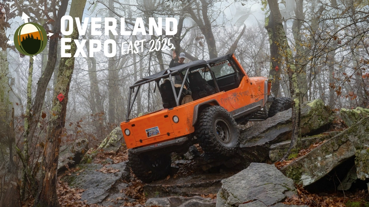
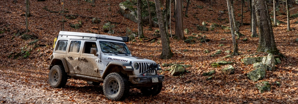
7 Off-Road Trails Near Overland Expo East 2025 in Arrington
Overland Expo East, the final Overland Expo of 2025, kicks off next week from October 3–5 in Arrington, Virginia. If you’re not familiar, it’s one of the biggest weekends in the off-road and overland world, packed with classes, gear demos, and plenty of chances to connect with fellow travelers and your favorite brands.
If you’re planning to hit some trails or camp while you’re in the area, you’re in luck. There are plenty of routes within an hour’s drive of the Oak Ridge Estate where the expo is held. A little farther out, the George Washington and Jefferson National Forests are full of trails to explore and offer both established campgrounds and opportunities for dispersed camping. And if you want even more options, be sure to check out our full list of trails in Arrington, VA.
Now let’s get into some of our most popular off-road trails in the area.
Tips for Off-Roading Near Arrington
Heading out on the trails while attending Overland Expo East? Here are a few things worth keeping in mind:
- Camping Outside of the Expo: You’ll find plenty of options in the George Washington and Jefferson National Forests. If you prefer more seclusion, dispersed camping is also allowed, just be sure to follow any listed rules. And don’t forget to check out our trail guides for documented camp spots.
- Permits: You don’t need any permits to drive motorized vehicles on designated trails, but always make sure you’re in a legal spot. Straying off-trail or trespassing can land you in trouble.
- Weather: Daytime highs average around 70°F with lows dipping to about 45°F. If you’re camping at higher elevations, plan for colder nights and pack extra layers.
- Never Wheel Alone: Even if the trail seems easy, bring a buddy. Cell service is unreliable in the forests, and it’s not worth the risk of being stuck without help.
- Trail Etiquette: Take a minute to review Tread Lightly principles. Following them helps protect the land and ensures trails stay open for everyone.
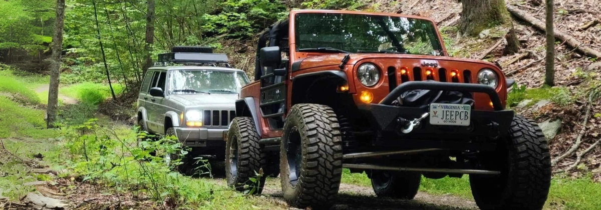
Top Trails Near Overland Expo East
Enchanted Creek - Willow, VA
- Distance from Overland Expo East to Trailhead: 53 minutes
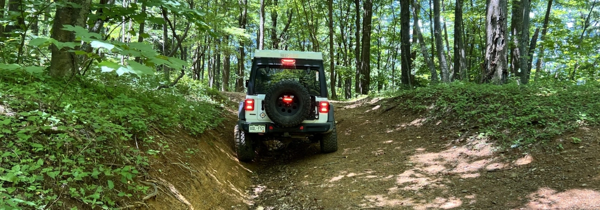
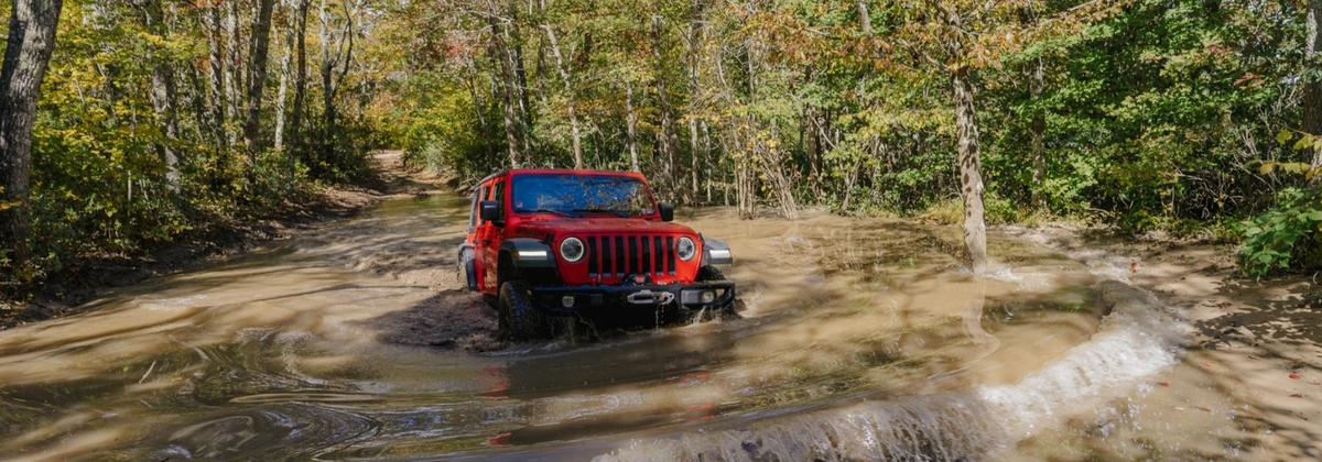
Enchanted Creek is a moderate trail suited for stock 4WD vehicles. Expect to encounter rocky stretches, light off-camber sections, and a narrow tunnel that makes for a fun photo stop. You will also find plenty of mud pits, ruts, and a water crossing near the southern end that may challenge lower-clearance rigs. Overall, it’s a slow and relaxing ride through thick forest and creek views.
Potts Mountain Jeep Trail - Mallow, VA
- Distance from Overland Expo East to Trailhead: 1 hour and 58 minutes
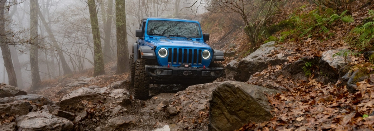
Potts Mountain Jeep Trail is often called one of the most rugged forest service roads east of the Mississippi, with mandatory rock obstacles that push both drivers and vehicles to their limits. The mix of dirt, mud, and rugged rock requires a built 4x4, plenty of recovery gear, and ideally a winch with full skid plates. There are some scenic stretches that break up the intensity, but expect steep climbs, off-camber ledges, and non-optional obstacles. We recommend this trail for experienced drivers who are ready for a serious challenge.
Want a closer look at this trail? Check out our full trail video for a walkthrough of the terrain, obstacles, and what to expect before you go.
Coon Bridge - Lowesville, VA
- Distance from Overland Expo East to Trailhead: 21 minutes
Coon Bridge is another moderate trail in the area. Right from the start, the trail is steep and rocky, with a v-notch that can be tricky if you’re not lined up well. The route is tight, overgrown, and slightly off-camber, making it best for aggressive stock vehicles with high clearance. Views open up in a few sections, but the narrowness of the road and limited camping make it more of a technical challenge than a scenic drive, with careful driving required when passing oncoming vehicles.
Bald Mountain Jeep Trail aka Big Levels - Stuarts Draft, VA
- Distance from Overland Expo East to Trailhead: 59 minutes
Bald Mountain Jeep Trail, also known as Big Levels, runs straight through the George Washington National Forest with plenty of mud pits, rocky stretches, and small boulders to keep you busy. Rated moderate, it requires at least a lightly modified 4x4 with larger tires and we would recommend having at least a winch. The trail offers dispersed camping opportunities and shines in the fall season with beautiful colors through the Appalachians, making it a favorite for those who want both challenge and scenery.
Want a closer look at this trail? Check out our full trail video for a walkthrough of the terrain, obstacles, and what to expect before you go.
Potts Mountain Road - Potts Creek, VA
- Distance from Overland Expo East to Trailhead: 2 hours and 21 minutes
Potts Mountain Road follows the ridge of Potts Mountain and serves as a milder connector route through the forest. Mostly made up of gravel and dirt, it has occasional potholes, shallow mud holes, and a few established campsites tucked into the trees. While it’s suitable for most high-clearance vehicles, conditions change quickly with weather, especially in snow or ice which can add a layer of difficulty.
Bald Mountain - New Castle, VA
- Distance from Overland Expo East to Trailhead: 1 hour 59 minutes
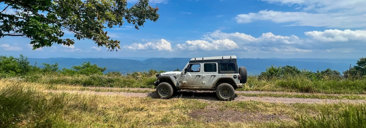
Not to be confused with the other Bald Mountain trail, this Bald Mountain trail northwest of Roanoke offers a mix of degraded pavement, gravel, and rocky dirt that climbs into the Blue Ridge. It is a stock-friendly trail under normal conditions, but expect to find mud holes, rocky patches, and narrow sections that may cause pinstriping. At higher elevations, the trail rewards drivers with wide-open views east and west, with a clearing at the summit that makes it a perfect spot to stop and take in the mountains.
Peaceful Valley East - Paint Bank, VA
- Distance from Overland Expo East to Trailhead: 2 hours 6 minutes
Peaceful Valley East is a gravel road a little over eight miles long, winding through forest, pastures, and open stretches with scenic views. The terrain is easy and well-suited for stock 4WD vehicles, with dispersed camping spots available along the route. Open year-round, it’s a great option for a short outing or as part of a full day exploring the trail network around Paint Bank.

Marie is a Washington State native who loves to explore the great outdoors with her partner and son. They typically explore in her 2021 4Runner out on trails but recently added a 2023 Tacoma to the build list. When she is not behind the wheel, Marie enjoys capturing moments with her camera, spending time with friends and family, and gardening! Marie is also the founder of PNW Overlanders, a local group in Washington that organizes trail rides and campouts across the state.


Community
Partners